Hills Of Northern West Virignia 🖼️
Download a High Resolution JPEG Image of the Hills Of Northern West Virignia or an Adobe Acrobat Printable PDF of the Hills Of Northern West Virignia.
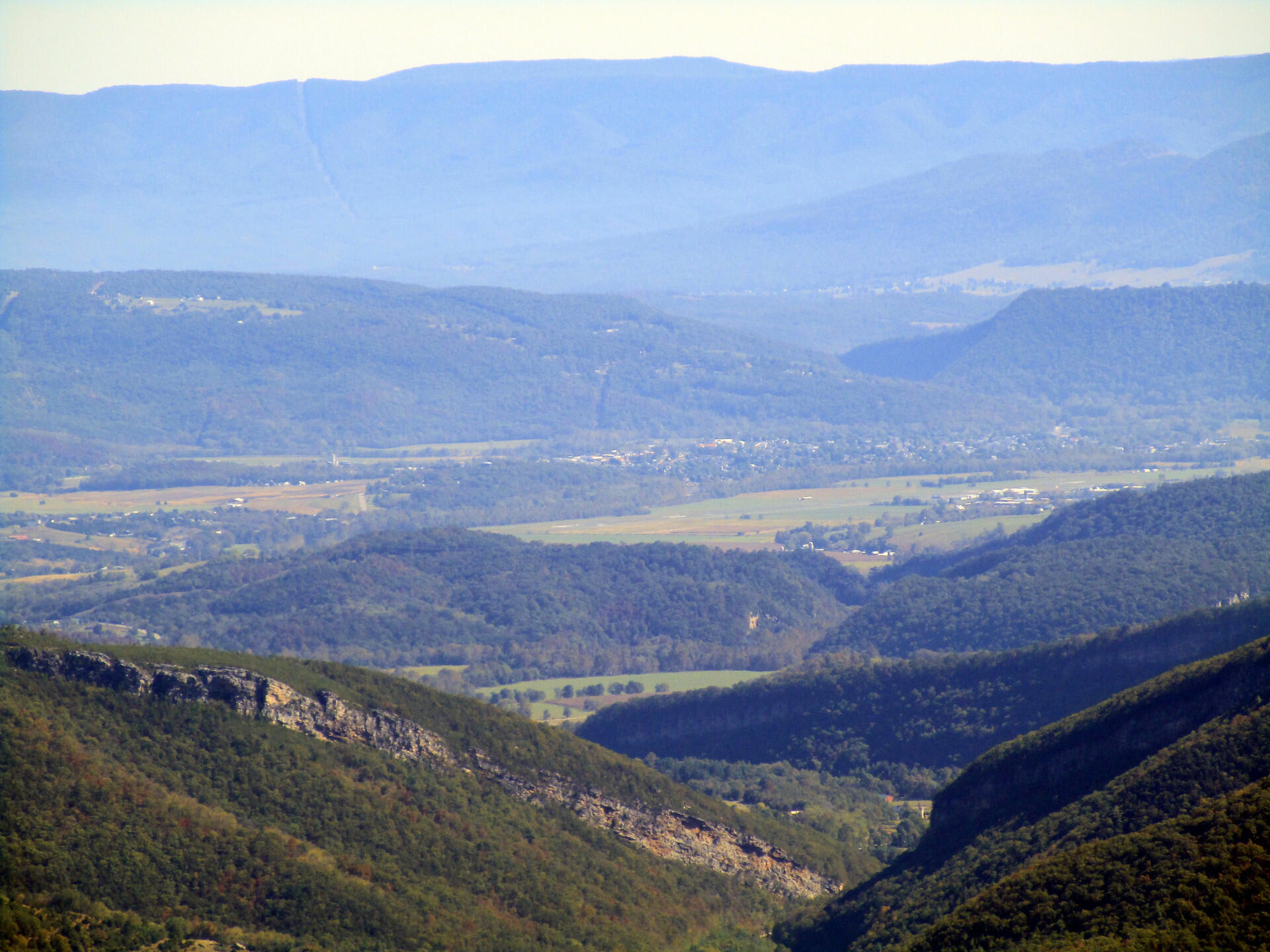
Hills Of Northern West Virignia ...
North Fork Gap and other mountains looking east as far as Shendandoah Mountain and the Viriginia State line.
Taken on Friday October 11, 2019 at Dolly Sods Wilderness.

More about Dolly Sods Wilderness...
The 17,371 acre Dolly Sods Wilderness in the Monongahela National Forest is part of the National Wilderness Preservation System. It is located in Grant, Randolph, and Tucker Counties, West Virginia. The Dolly Sods Wilderness contains much of the Red Creek drainage and contains bog and heath eco-types, more commonly typical to southern Canada. Elevations range from 2,500 to over 4,700 feet. https://www.fs.usda.gov/recarea/mnf/recarea/?recid=12366


