February 9, 2019 11:56 am Update

DEC STANDS database says there are 6,466 acres of state forest with white ash being more than 50% of the tree cover, 1,775 acres where green ash is more than 50%, 332 acres where were black ash is more than 50%.

White ash predominants on 31,367 acres but it is not 50% on many of those acres.
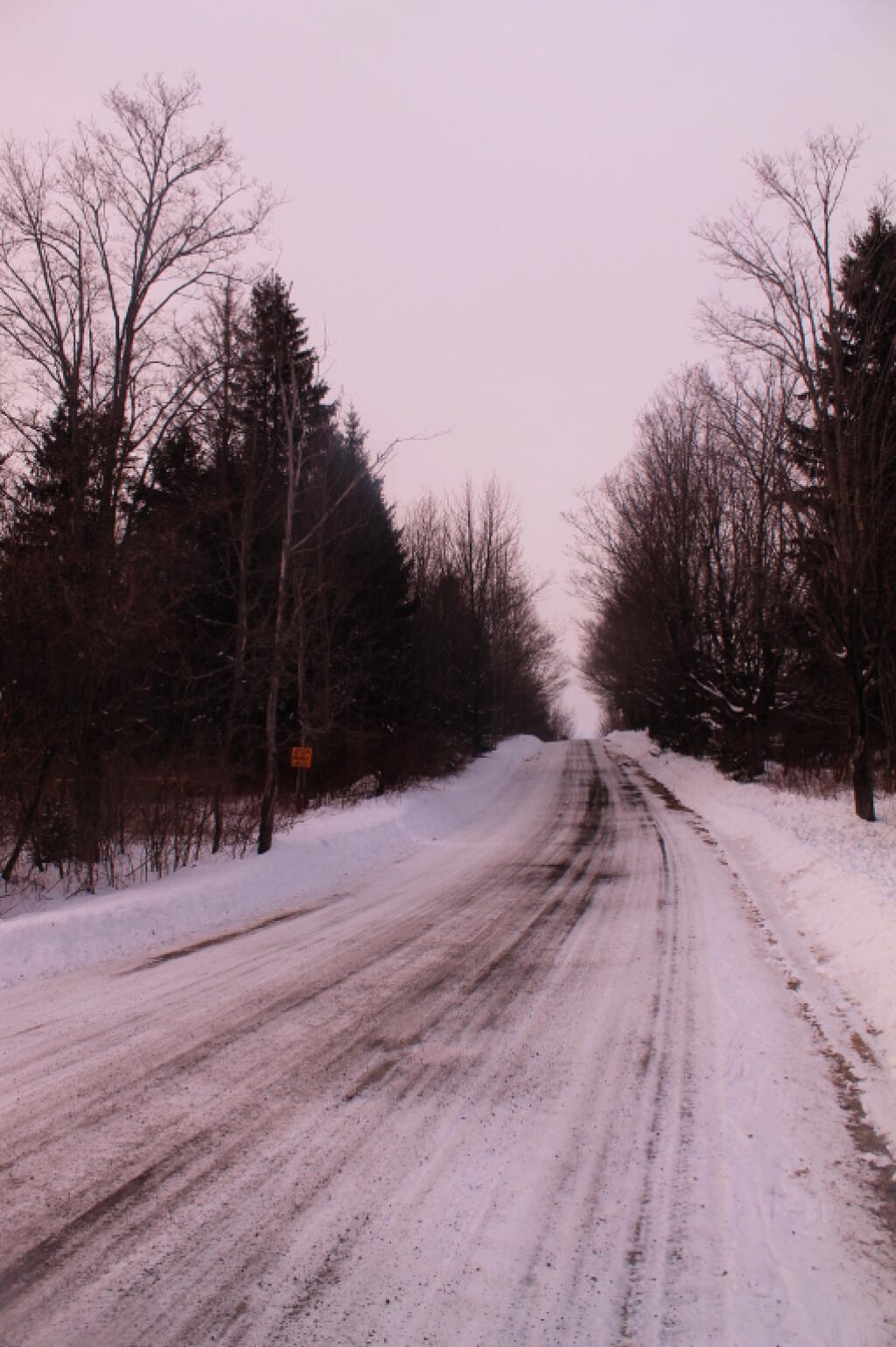
Along Bradt Hollow Road

Map: Alma Pond
Map: Dobbins Memorial State Forest
Map: Little John Wildlife Management Area
Map: Otter Lake
Map: South Hill State Forest (Oneida 23)
Map: Summer Hill State Forest
SVGZ Graphic: albany-snow-depth
SVGZ Graphic: college-rate
SVGZ Graphic: december-holidays
SVGZ Graphic: ht2025
SVGZ Graphic: lt2025
SVGZ Graphic: Places Named Bethlehem
SVGZ Graphic: Towns with Most Similiar Land Cover to the Town of Bethlehem
Terrain Map: Happy World Milk Day!
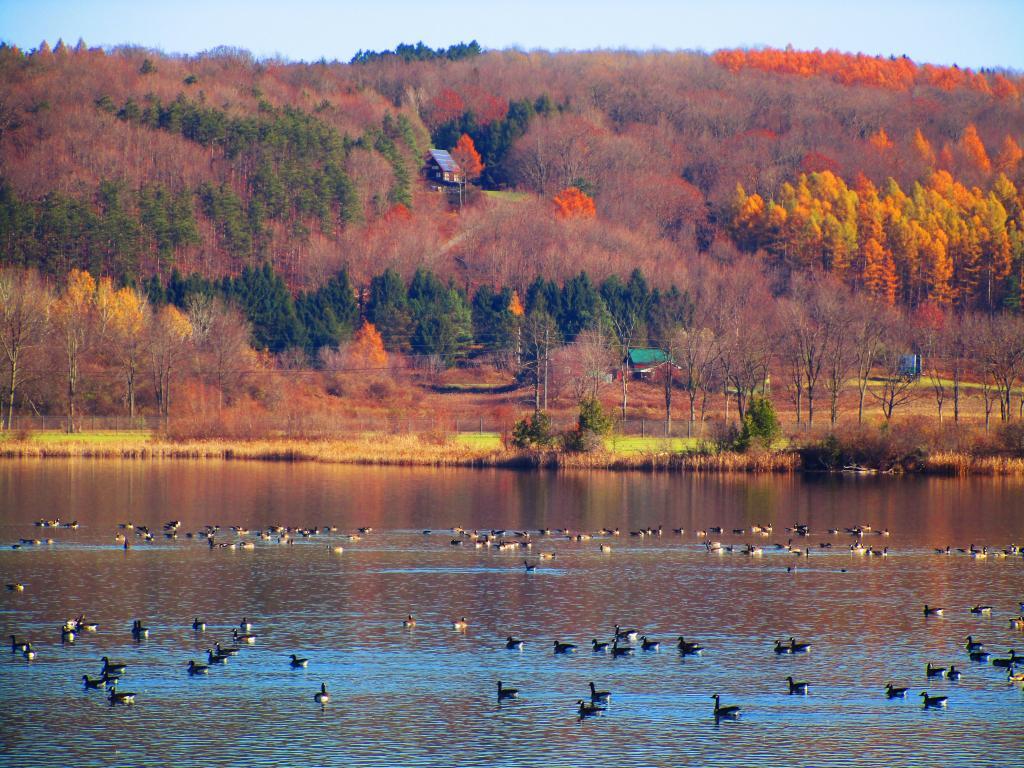
Photo: Lots of Geese on Woodsman Pond
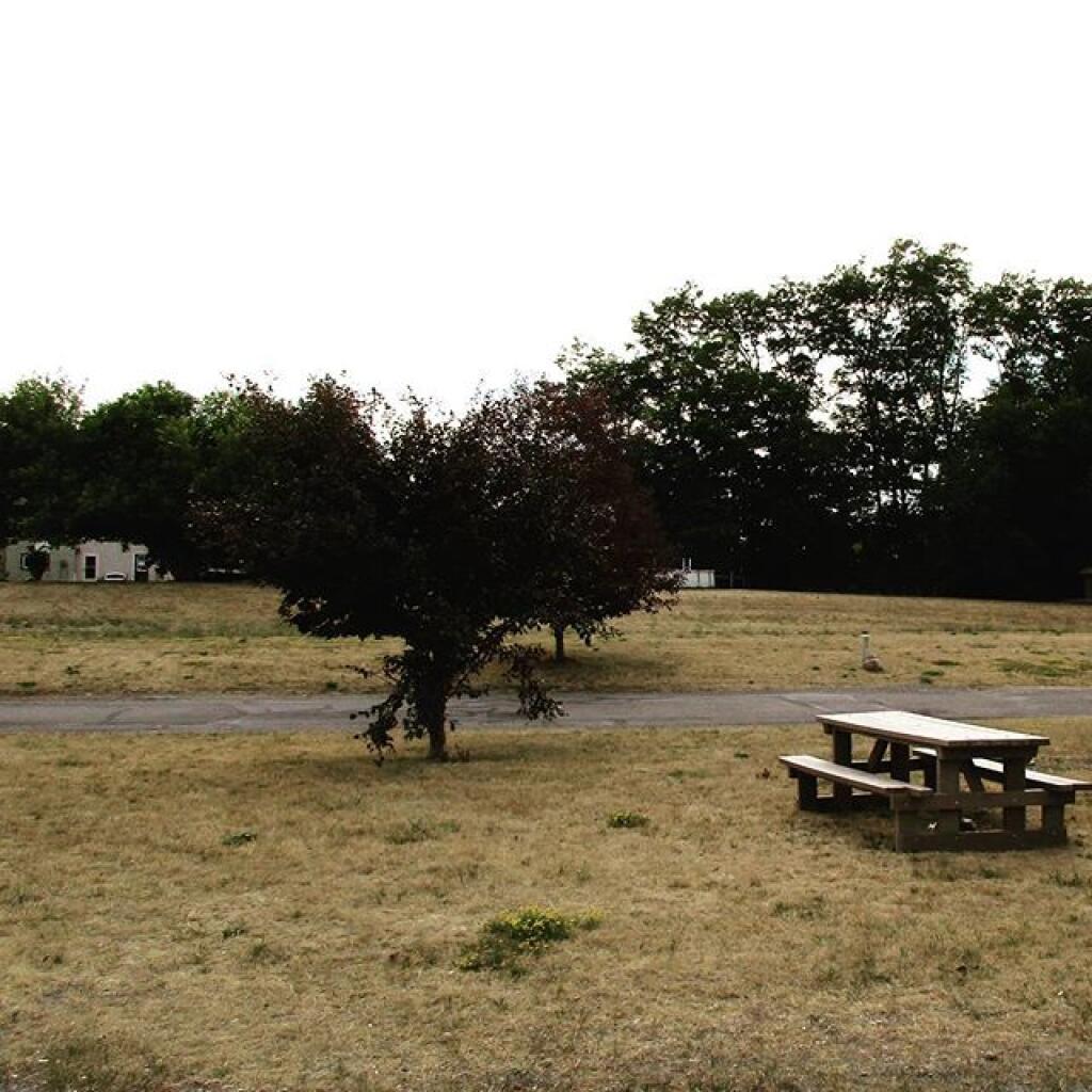
Photo: Drought has made grass look like mid winter
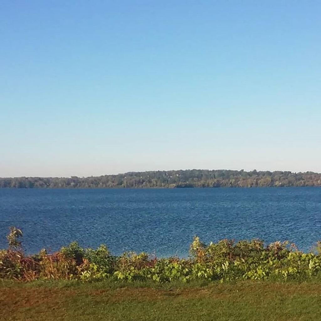
Photo: Some days are nicer than others
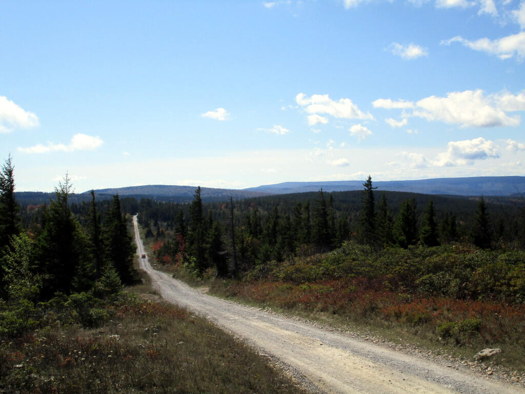
Photo: Dolly Sods Road
Photo: Hilldabrandt Vly Campsite
Photo: Karr Road
Photo: With the rumbles of thunder and the radar I decided to turn back
Photo: Made it to the top
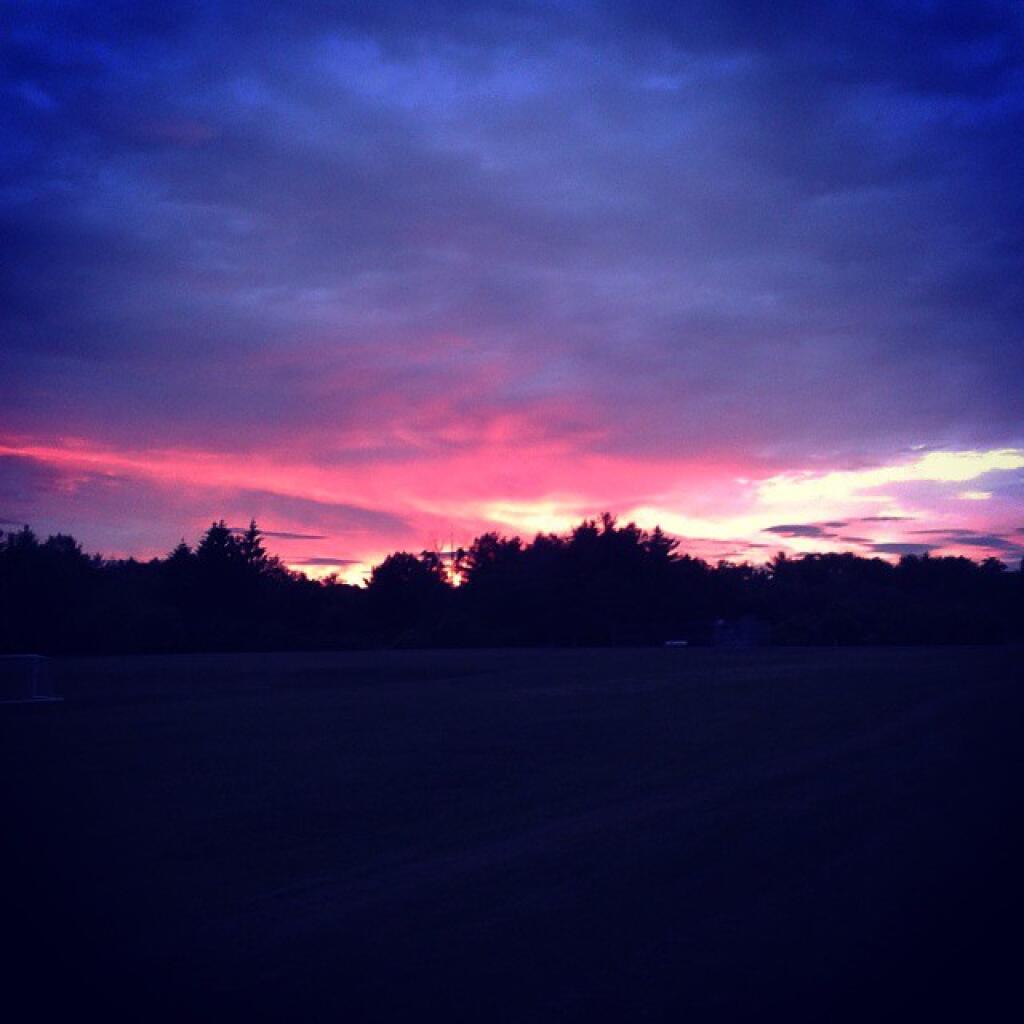
Photo: Red skies at night...
Photo: Guilderland Town Planning Board Protest

Leave a Reply

Your email address will not be published. Required fields are marked *