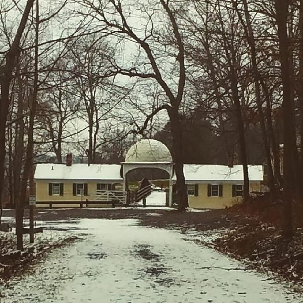
I was starting to get concerned when I saw the temperatures dropping to 28 degrees with rain driving out here but then it started to warm up to closer to 30. Roads weren’t that bad although a bit soft in places.

I was starting to get concerned when I saw the temperatures dropping to 28 degrees with rain driving out here but then it started to warm up to closer to 30. Roads weren’t that bad although a bit soft in places. Dusting of snow around but that’s fine. Going to cold night although I don’t think it as cold as it would have been in the Adirondacks.
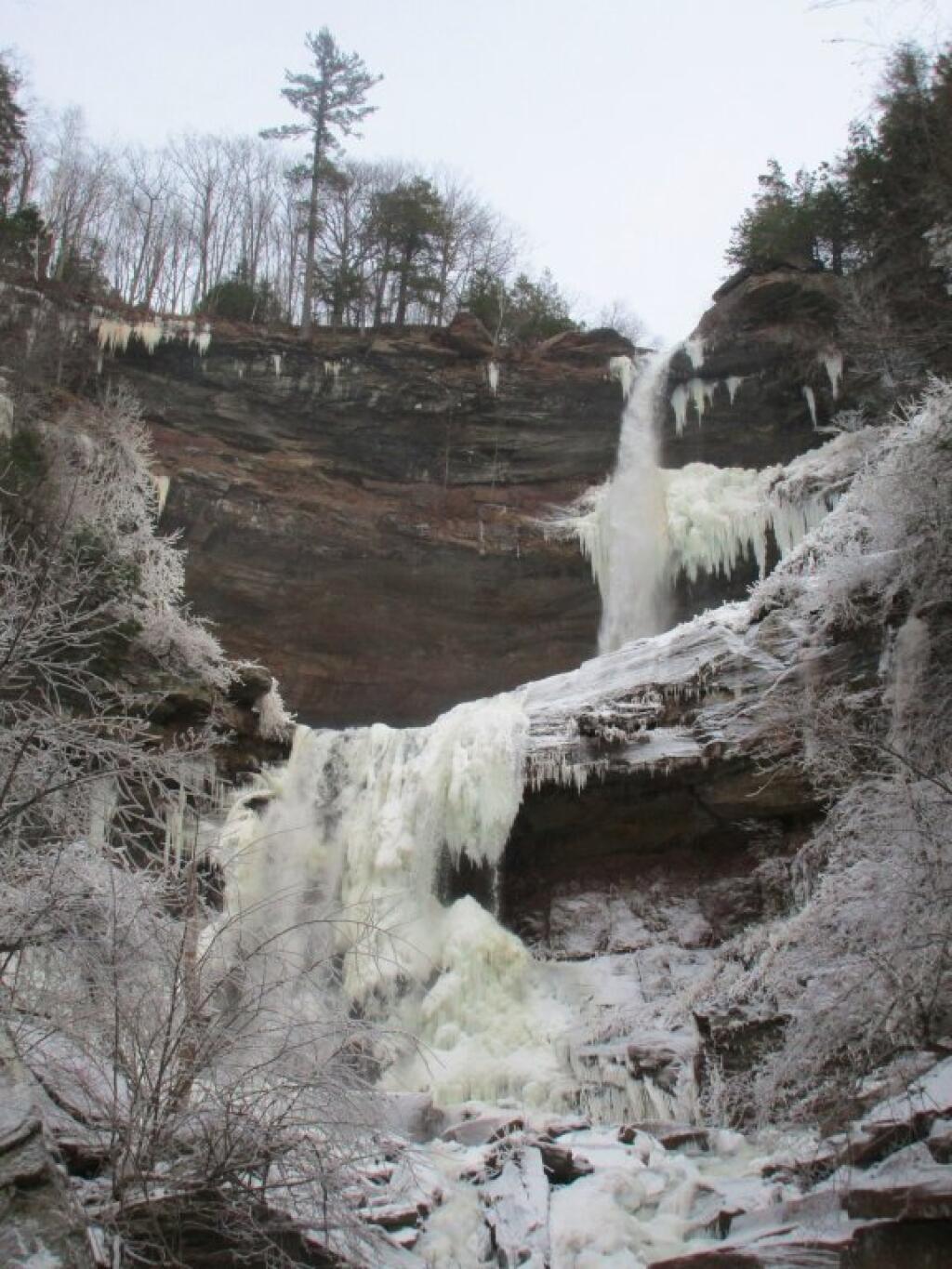
 From The Top

Map: Alma Pond
Map: Dobbins Memorial State Forest
Map: Little John Wildlife Management Area
Map: Otter Lake
Map: South Hill State Forest (Oneida 23)
Map: Summer Hill State Forest
Map: West Parishville State Forest
SVGZ Graphic: albany-snow-depth
SVGZ Graphic: college-rate
SVGZ Graphic: december-holidays
SVGZ Graphic: ht2025
SVGZ Graphic: lt2025
SVGZ Graphic: Places Named Bethlehem
SVGZ Graphic: Towns with Most Similiar Land Cover to the Town of Bethlehem
Terrain Map: Happy World Milk Day!
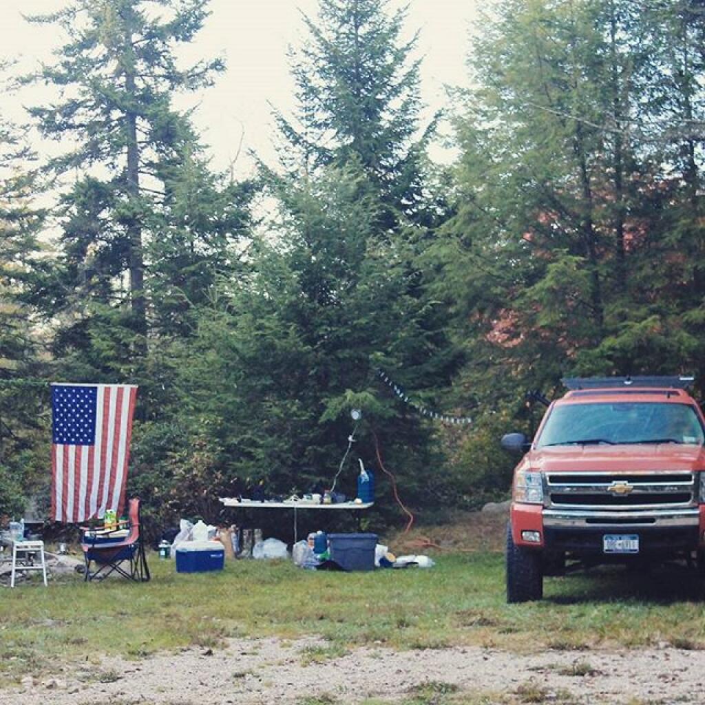
Photo: Camping on Forest Road 13
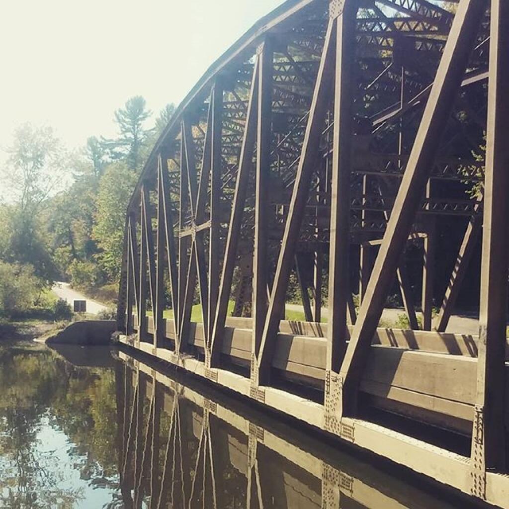
Photo: Nebraska Bridge is not underwater
Photo: Black Eye Susans are out
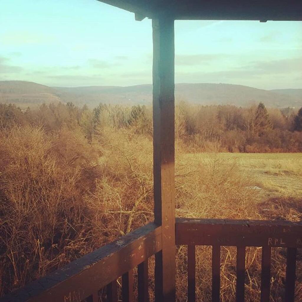
Photo: Farm tower view
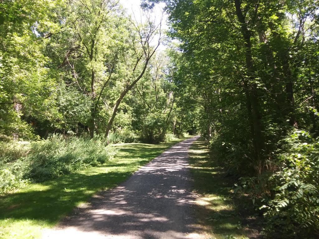
Photo: Nice quiet trail along the creek
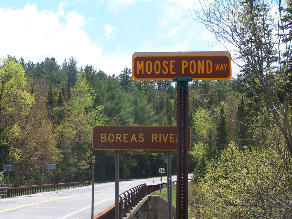
Photo: Moose Pond Way
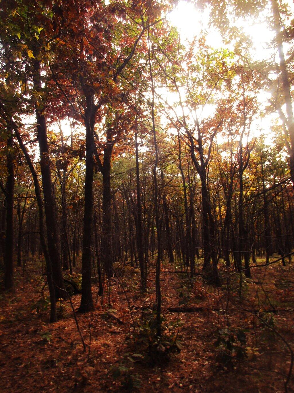
Photo: Burned Hardwood Section Reminds Me Of Allegheny Woods
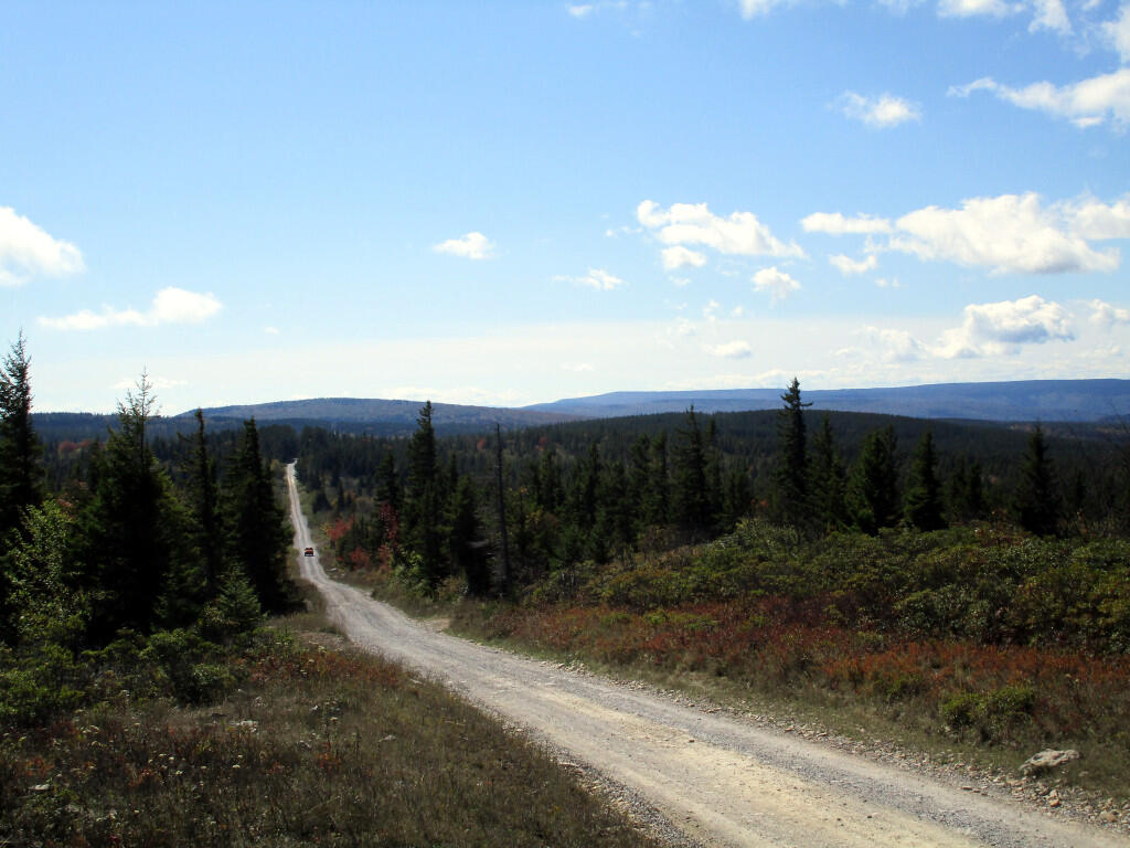
Photo: Dolly Sods Road
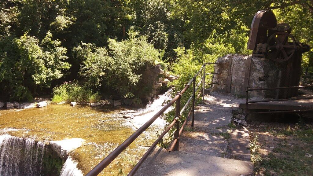
Photo: Seneca Mills Ruins
Photo: Gate House

Leave a Reply

Your email address will not be published. Required fields are marked *