August 19, 2018 10:57 am Update

Thinking about taking off Friday to go up to the Adirondacks for a long weekend. Maybe Moose River and Cedar River Flow but I think I’m more inclined just to do Pisceo-Powley Road then drive down one day to Little Falls, hike Moss Island and paddle out along on the Hudson, maybe this time above the lock (boat launch) rather than below (off Old River Road by the waste water plant) .
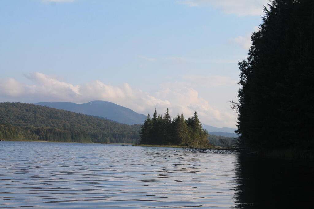
Island

Map: Alma Pond
Map: Dobbins Memorial State Forest
Map: Little John Wildlife Management Area
Map: Otter Lake
Map: South Hill State Forest (Oneida 23)
Map: Summer Hill State Forest
Map: West Parishville State Forest
SVGZ Graphic: albany-snow-depth
SVGZ Graphic: college-rate
SVGZ Graphic: december-holidays
SVGZ Graphic: ht2025
SVGZ Graphic: lt2025
SVGZ Graphic: Places Named Bethlehem
SVGZ Graphic: Towns with Most Similiar Land Cover to the Town of Bethlehem
Terrain Map: Happy World Milk Day!
Photo: Shit Ton Of Moose Shit On Lye Brook Trail
Photo: Outhouse
Photo: So Many Stairs
Photo: Power Input Meter And Large Inverter
Photo: Before Unionville Hill
Photo: Mountain Laurel
Photo: Kipp Hill From Pratt Rock
Photo: Field Camping Area
Photo: Stopping Along The Parkway
Photo: Wetlands

Leave a Reply

Your email address will not be published. Required fields are marked *