Stewart Landing Campsite

According to state tax records, Griswold Heights was constructed around 1950. By 1952, most of the projects were done and as you can see from the 1952 aerial, few things have change in Griswold Heights in the past 70 years.

The tulips can bring so much color to the blog this time of year.
Thursday May 16, 2013 — Washington Park
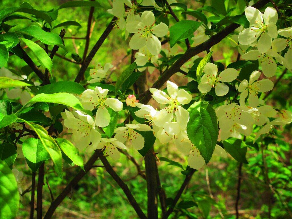
An apple blossom along the trail smelled quite nice.
Sunday May 2, 2021 — Papscanee Island Nature Preserve — Papscanee Island Nature Preserve 🗺