Search Results for: photo above the pond

November 6, 2018 Morning

Good morning! Happy Election Day 2018 🗳️. It’s the big mid-term elections. If you haven’t, now would be a good time to vote. It’s always fun to fill in the scantron, after all the craziness of elections. Next Tuesday is Average Night Below Freezing 🌌. Pouring rain and 49 degrees in North Syracuse. ☔ There is a east breeze at 10 mph. 🍃. Temperatures will drop below freezing at Saturday around 5 am. ☃️ Then the big chill comes, with probably some lake-effect snow, but I will have to watch it with my camping trip, so I don’t get stuck in a blizzard — although for most of my trip I don’t expect to be in the snow belt — so I will probably miss most of the snow, and it might actually be quite sunny but cold.

Today will have showers and possibly a thunderstorm before 3pm, then a chance of showers. ⛈ High of 62 degrees at 2pm. 10 degrees above normal. Maximum dew point of 50 at 11am.  East wind 10 to 15 mph becoming southwest in the afternoon. Winds could gust as high as 25 mph. Chance of precipitation is 100%. New rainfall amounts between a quarter and half of an inch possible. A year ago, we had cloudy skies. The high last year was 63 degrees. The record high of 73 was set in 2015. 3.2 inches of snow fell back in 1933.❄

The sun will set at 4:49 pm with dusk around 5:19 pm, which is one minute and 12 seconds earlier than yesterday. 🌇 At sunset, look for some clearing with a continued chance rain showers  🌦 and 60 degrees. The dew point will be 49 degrees. There will be a southwest breeze at 14 mph. Tomorrow will have 10 hours of daytime, a decrease of 2 minutes and 26 seconds over today.

Tonight will have a chance of showers. Mostly cloudy ☁, with a low of 46 degrees at 6am. 12 degrees above normal. Breezy, with a southwest wind 14 to 21 mph, with gusts as high as 34 mph. Chance of precipitation is 40%. New precipitation amounts of less than a tenth of an inch possible. In 2017, we had mostly cloudy skies. It got down to 33 degrees. The record low of 18 occurred back in 1962.

There are 14 hours and 14 minutes until the poll close on Election Day in New York. 🗳 Yeap, today is big election day. And then it’s over. then assuming we don’t have too much lake-effect snow, it’s my road trip. 🏕 A little snow, might actually be pretty. That said, I’m not expecting much down in the Finger Lakes or Southern Tier. At the Finger Lakes National Forest, a lot of the roads are plowed year round, and I’ll bring a shovel. I kind of prefer snow to a cold rain, just because I won’t get so wet with snow. I will pack lots of warm stuff.🌨

Actually, all said and done it looks like next week will be one of the best weather-wise all autumn. 🌤 At least several days with partial clearing and sun. Cold yes, but sometimes the sun will make up with it. 🌬 But I can string up tarps to block the wind. And hopefully it won’t be too cold. I am hoping that I can have all week off next week, so I can fully enjoy my vacation. We will see. I also need to get my registration done, and inspection done by the end of the month.

I plan to take care of the registration on Thursday or Friday, and then will get my truck inspected and possibly repaired over the Thanksgiving weekend. I have noticed some noise and hop when I really clink the wheels hard to turning on the very rough parking lot at campaign office,🅿️ so I am thinking I will probably need to have a ball joint or other suspension component replaced, but I don’t think it’s at a critical point now, but I want to get that fixed before it causes excessive wear on those big expensive tires I have on the truck. Or it could be nothing, just the suspension struggling to turn on the very rough pavement. I don’t have issues in most lots. I’ve not noticed anything on the highway or driving when I don’t have the wheels cranked almost to the maximum position when parking, but it will certainly get worse over time, and I certainly want it replaced before something goes bang on the highway.💥 Maybe when I have the inspection done. I always need something new to worry about.

I also need to top off the oil, (I have a quart ready to go in the back) ⛽and I would like to wire up the amp meter too, so I can monitor the amperage coming off the solar panel. The accessory battery is always very happy and well charged now, thanks to the solar panel keeping it topped off all day long. And obviously I have to get all my camping gear packed,🏕 my hunting licensed renewed,🎫 guns cleaned and oiled, 🔫 and food bought. I am thinking I might visit my parents on Thursday night if they are around, as I have an event to go to on Wednesday. I might see if there are any sales, as I might want to pick up some additional gear.

Then it will be probably one more trip to the Adirondacks in late November or early December, probably to the campsite I like near the East Branch of the Sacanadaga River, 🏞 before the snow sets in for the winter. The big game hunters usually start filtering out by then, so more campsites are available. ◼ I really like that campsite across from the Cod Pond Trail, as it’s set back from the road, but it has cell service,📲 and is very open above, which means I’ll have sunlight to power up the solar panel.

After that it’s the long cold winter, and I have many electronics projects I want to build from the components I ordered from AliExpress. 🔬I have a bunch of LEDs and other things I want to build, making signs and lighting devices. I am thinking of building some decorative vases with marbles that would change color, which would be especially cool with the UV “black light” LEDs I bought, mixed with something that will florescent under UV light. 💡 I certainly have a lot of components that I could build things from now. It’s going to be a long winter, but I kind of like not having drive much, and winter walks down to public library to pass away the time on the wi-fi.

Once I’m back home, I’ll be riding the bus to work, and not worry about traffic or driving will be nice. 🚌 It’s fantastic that they changed the bus route, so it will be on time more, and I will on cold days be able to get the bus at the turn-around. I hate the big gas and electric bills in the winter,🔥 but I’m continuing to invest and eventually I will be able to afford land and an off-grid house which will use solar for electricity and wood for heat, and maybe some propane.

As previously noted, next Tuesday is Average Night Below Freezing 🌌 when the sun will be setting at 4:42 pm with dusk at 5:12 pm. On that day in 2017, we had snow, cloudy skies and temperatures between 41 and 32 degrees. Typically, the high temperature is 49 degrees. We hit a record high of 69 back in 1964.

As a final note, don’t forget to get out and vote. ☑️ I am not thrilled by our leadership, or many of the incumbents which will certainly be elected, but it’s important to at least raise your voice and be heard in our democracy. It’s good to cast a protest vote here and there. ✊

 Falling

November 4, 2018 Morning

Good morning! Daylight Savings Time Came to An End 🕒. I hope you remembered to set your clock back an hour, otherwise your quite early to church ⛪ and everything else you do on Sunday. There was a ton of people out hiking at the Green Lakes Bird Sanctuary by the time I left. Next Sunday is Veterans Day (Sunday) 🇺🇸. Partly cloudy and 44 degrees in Fayetteville. ⛅ Calm wind. Temperatures will drop below freezing next Saturday around 10 pm. ☃️

Today will be partly sunny 🌞 , with a high of 48 degrees at 1pm. At least maybe later, assuming there is such a thing of sunshine. I saw sun for two minutes this morning, and then it got dark. While maybe sunny, a bit cool, roughly four degrees below normal. Calm wind becoming east around 6 mph in the afternoon. A year ago, we had mostly cloudy skies. The high last year was 50 degrees. The record high of 76 was set in 1994. There was a dusting of snow in 2006.❄ I left the batteries connected today, so I can top off my starting battery, assuming we get sun later on.🔋

The sun will set at 4:51 pm with dusk around 5:21 pm, which is one minute and 17 seconds earlier than yesterday. 🌇 At sunset, look for partly cloudy skies ⛅ and 46 degrees. There will be a east breeze at 6 mph. Today will have 10 hours and 8 minutes of daytime, a decrease of 2 minutes and 37 seconds over yesterday. Those nights are getting long in Trump’s America. Just like his presidency, especially as the mid-terms get underway come Tuesday. It looks like the Democrats will take the house, putting a brake on his administration, although the Senate will be in Republican hands. Although I guess it depends on who votes after all.

Tonight will be mostly cloudy ☁, with a low of 39 degrees at 12am. Four degrees above normal. Southeast wind 6 to 11 mph. In 2017, we had cloudy skies. It got down to 38 degrees. The record low of 17 occurred back in 1951.

Nice morning for a hike at Green Lakes State Park. 🍂Leaves are all gone or faded at this point, with some exceptions but so be it. I just wish there was more sun, but that’s pretty rare this year. Definitely into the November part of the year now.

There are 2 days, 8 hours and 14 minutes until the poll close on Election Day in New York. 🗳 It’s almost over. I’ve been thinking more about my trip, debating if I should leave on Thursday, Friday, or Saturday. A lot depends on the weather, although leaving Thursday wouldn’t give a lot of time to get back, by the time I get home on Wednesday evening. 🏡 I also have to take off the second half of next week, but i am not concerned about getting that off.

The long-range forecast for next week, looks pretty good but the weekend into next Monday might be questionable. 😎 Ideally I would like two nights at Stoney Pond State Forest, so I have time to visit Chittenango Falls one day — then I want a very nice and sunny day for visiting Chimney Bluffs State Park ⛰ and Montezuma 🐦🕊 before heading down to the Finger Lakes National Forest. Should be great for camping, assuming it’s not too wet and rainy. 🏕

As previously noted, next Sunday is Veterans Day (Sunday) 🇺🇸 when the sun will be setting at 4:43 pm with dusk at 5:13 pm. On that day in 2017, we had mostly sunny skies and temperatures between 33 and 18 degrees. 🌞  Typically, the high temperature is 50 degrees. We hit a record high of 70 back in 2002.

Corner

October 29, 2018 Morning

Good morning! Monday’s come back around again. Two weeks to Veterans Day Observed (Monday) 🇺🇸. Rain showers and 41 degrees in North Syracuse. ☔ There is a west breeze at 5 mph. 🍃. With the late sunrise, dark clouds, and dreary conditions, not a nice morning.

Still some UV light coming through the skies on to my solar panel on the truck creating some voltage, ⬛ but until I install the amp meter on my truck next week, it’s a little hard to know how much power as voltage is only one half of the equation, and but there is enough clearly to maintain the charge on the batteries at 13.1 volts.🔋 The rain takes an intermission tomorrow, with the skies clearing tomorrow around 7 am.

Today will have showers. High of 45 degrees at 1pm. 10 degrees below normal. West wind 5 to 13 mph. Chance of precipitation is 80%. New precipitation amounts between a tenth and quarter of an inch possible. A year ago, we had cloudy skies. The high last year was 65 degrees. The record high of 77 was set in 1946. 3.8 inches of snow fell back in 2011.❄ I remember that snow storm, we got closer to a foot at my parents house, it was when I had Big Red and he was brand new. Amazing to think a seven years has passed by since that time. After seven years, the rust is really starting to show up, but I hope to get another 3-5 years out of it, assuming the oil consumption and other minor annoyances don’t get worse.

The sun will set at 5:59 pm with dusk around 6:29 pm, which is one minute and 24 seconds earlier than yesterday. 🌇 At sunset, look for rain 🌧 and 43 degrees. There will be a west breeze at 13 mph. Today will have 10 hours and 23 minutes of daytime, a decrease of 2 minutes and 40 seconds over yesterday. Days have really gotten short quickly. They always do this time of year. That said, I kind of like the long nights in the wilderness, especially next to a hot fire and the big buddy heater, having a nice dinner.

Tonight will rain showers likely before 4am, then a chance of rain and snow showers. Cloudy ☔ , with a low of 37 degrees at 4am. One degree above normal. West wind 6 to 10 mph. Chance of precipitation is 70%. Little or no snow accumulation expected. In 2017, we had light rain and mist in the evening, remaining overcast into the early morning. It got down to 47 degrees. The record low of 20 occurred back in 1969. Chilly but not as cold as it will be getting in a month ago.

Next Thursday I plan to wire up the shunts and meters to monitoring the voltage and amperage on produced by the solar panel and battery on my truck. 🔋 I don’t expect this to be a big deal, it involves only relocating a handful of ground wires with the shunts, and providing power to the meter itself. For now, I think I may just mount the physical meters in the cab of the truck, although eventually I want to have them back in the cap where I can read them while camping. Probably use like a telephone wire to run power back there. I’ll have to look around to see if I have some telephone wire around, otherwise, I think my best bet may be a dollar store or maybe Wally World.🛍

The plan is on next Thursday, to get packed for the camping trip, check the oil and make other minor adjustments to the truck. 🚛 I will check for loose wires, make sure everything it working, and get all the junk out of my truck after 2 months out here in North Syracuse. Everything is well organized in the attic, so hopefully getting things set up shouldn’t be too hard, although being that it will be mid to late November when I return from my road trip, I should make sure to have plenty of warm stuff, the propane heater ready, etc. I will also want to go shopping, as I probably won’t get by a grocery store for the first few nights camping, although I may visit that new Aldi’s when I’m camping at Stoney Pond in Nelson.

There are 8 days, 12 hours and 52 minutes until the poll close on Election Day in New York. 🗳 It’s creeping closer each day. Tomorrow will be a week out from Election Day. I’ve done my civic duty or whatever you want to call it, filling out the scan-tron slip and mailing it back to Albany, to be counted assuming there is a very close election. 📬 I honestly don’t get all the hubbub about elections, because when it comes down it’s just a slip of paper with a bunch of bubbles filled out on it. I am not convinced that voting makes all that much of a difference in most people’s lives, but it’s a relatively low cost thing for most people — probably around $10-20 when you figure the cost of your time, gas to drive or bus fare to get to the polling place, or postage for the absentee ballot.💰

Probably the only place it really matters is the Town Board, with Maureen Cunningham running for a vacant seat. 🌲I think she will be a good town board person, and I think a Democratic board will be a good thing for the town — somewhat slowing the sprawl, and certainly making Delmar more pedestrian-friendly.🚴 Despite the complaints of rush hour commuters, making Delaware Avenue into a three-lane road with parking and bicycle lanes, will be great for the community, especially if they add more plantings and trees, to absorb some of the noise and pollution. We have to get beyond out dated thinking about urban planning. 🚃

As previously noted, there are 2 weeks until Veterans Day Observed (Monday) 🇺🇸 when the sun will be setting at 4:43 pm with dusk at 5:13 pm (Standard Time). On that day in 2017, we had mostly sunny skies and temperatures between 44 and 22 degrees. Typically, the high temperature is 49 degrees. We hit a record high of 68 back in 1909.

Snake Mountain 13

26 Nights of Camping

We are now 75 days out from the first day of summer, which began on June 21. Of those 75 summer nights, I spent 26 nights and 34 days total out camping on state and national forests. Nights that are starred it rained at least part of the day or night. It’s been a very wet and cold summer, but at least I got to see a lot of good country.

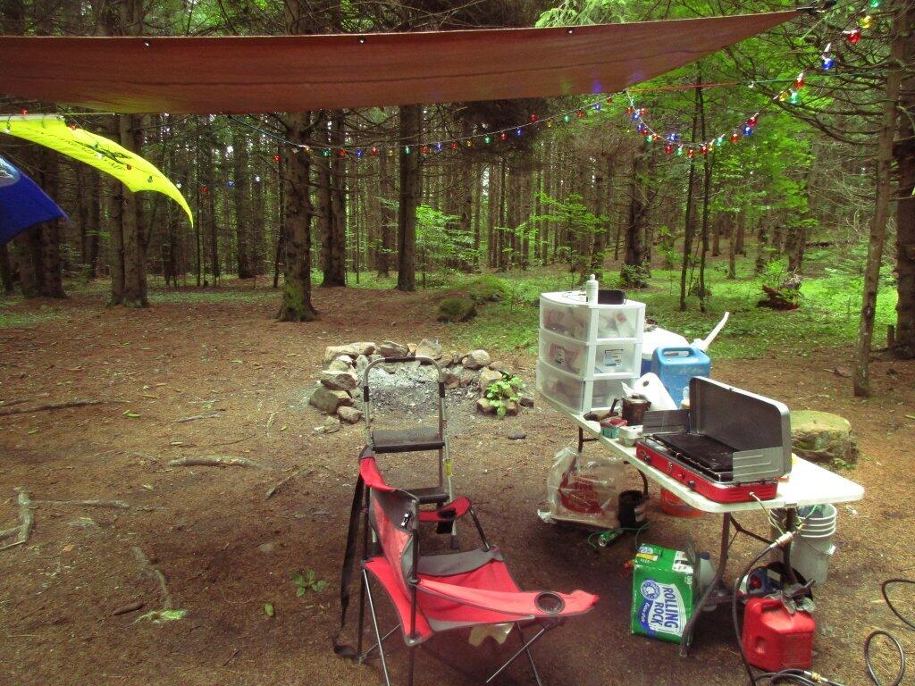
 Camp

Trip 1: Burnt-Rossman Hills State Forest. Hiked Vromans Nose, got fresh strawberries at Borhinger’s Farm Stand, swam at Mine Kill State Park.

1) Saturday, June 24 – Upper Betty Brook Campsite, Burnt-Rossman Hills State Forest, Summit, NY

 Very Wet Saturday

Trip 2: Independence Day Weekend at Moose River Plains. Hiked back to Cascade Falls in Eagle Bay, paddled on the Cedar River Flow.

2) Friday, June 30 – Campsite 67, Moose River Plains, Inlet, NY *
3) Saturday, July 1 – Campsite 67, Moose River Plains, Inlet, NY *
4) Sunday, July 2 – Campsite 67, Moose River Plains, Inlet, NY
5) Monday, July 3 – Campsite 67, Moose River Plains, Inlet, NY

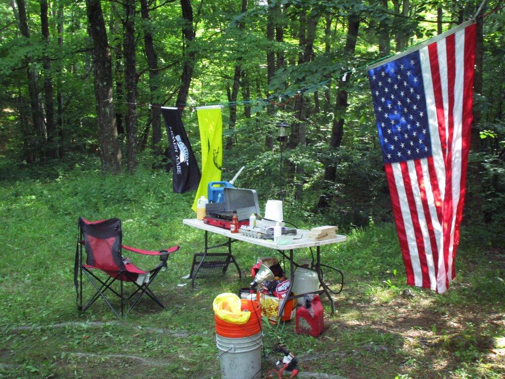
 Camp

Trip 3: West River Road outside of Wells near the former “White House” camp. Hiked around “White House”, paddled the Main Branch of the Sacanadaga River on Auger Flats, above Auger Falls, swam at Wells Beach

6) Friday, July 14 – West River Road, Wells, NY
7) Saturday, July 15 – West River Road, Wells, NY

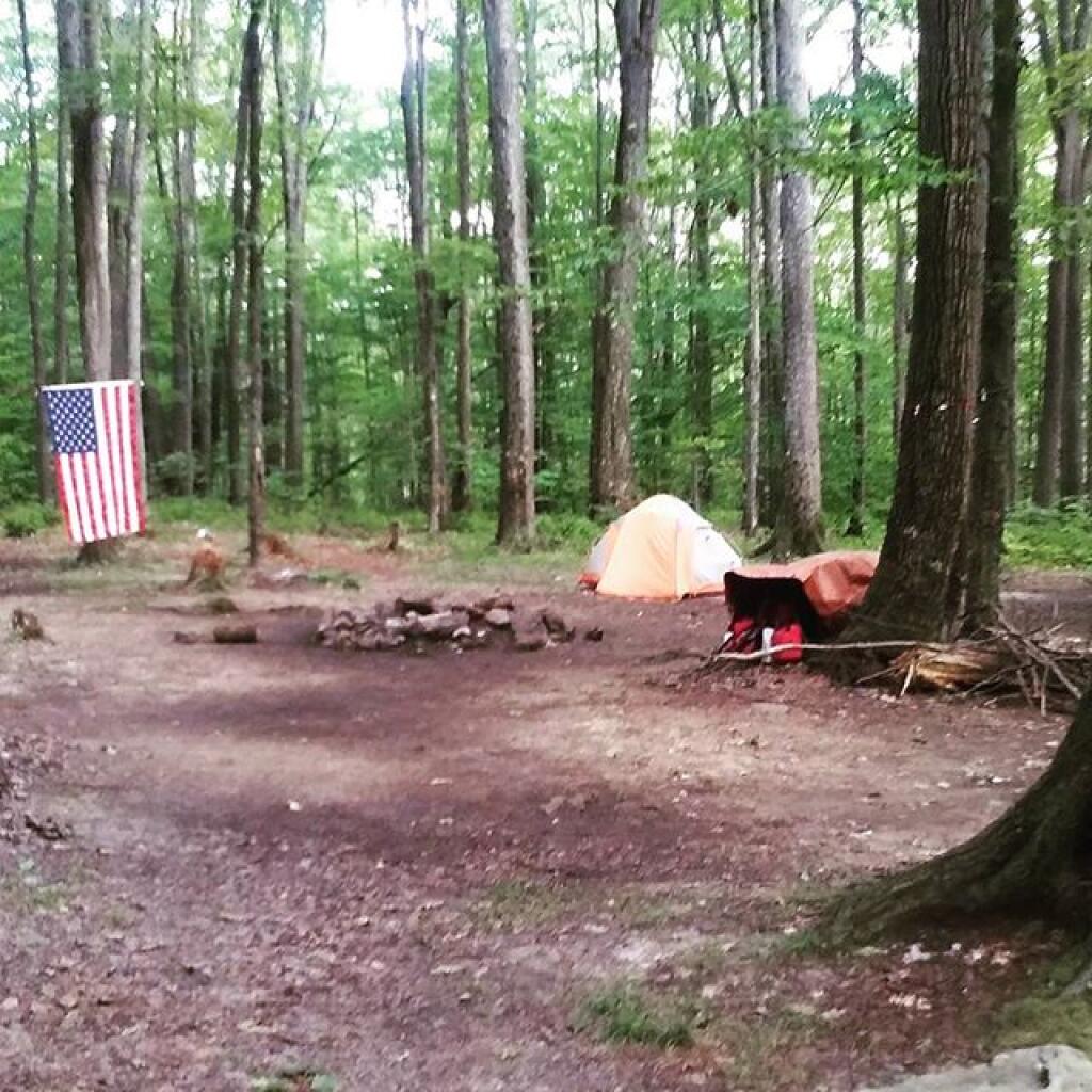
Campsite

Trip 4: Finger Lakes, visited several parks in the Finger Lakes, Montezuma Wildlife Refuge, Paddled and fished Lamoka Lake, climbed Sugar Hill Firetower.

8) Friday, July 21 – Cherry Ridge Camping Area, Charles Baker State Forest, Brookfield, NY
9) Saturday, July 22 – Mathews Road, Finger Lakes National Forest, Hector, NY *
10) Sunday, July 23 – Mathews Road, Finger Lakes National Forest, Hector, NY *
11) Monday, July 24 – Chicken Coop Road, Finger Lakes National Forest, Hector, NY *
12) Tuesday, July 25 – Chicken Coop Road, Finger Lakes National Forest, Hector, NY *
13) Wednesday, July 26 – Chicken Coop Road, Finger Lakes National Forest, Hector, NY *
14) Thursday, July 27 – Chicken Coop Road, Finger Lakes National Forest, Hector, NY *
15) Friday, July 28 – Chicken Coop Road, Finger Lakes National Forest, Hector, NY *
16) Saturday, July 29 – Chicken Coop Road, Finger Lakes National Forest, Hector, NY

 Camp

Trip 5: Burnt-Rossman Hills State Forest. Fished the Schoharie Creek, swam at Mine Kill State Park.

17) Saturday, August 5 – West Kill Road, Burnt-Rossman Hill State Forest, Blenheim, NY

Camp is cleaned up, next stop Erie

Trip 6: Partial Eclipse Viewing trip at Presque Isle State Park in Erie, Penna. Camped at Allegheny National Forest, visited Taughannock Viaduct, French Azulm Historic Site, Colton Point State Park, then went back to Watkins Glen in the Finger Lakes.

18) Saturday, August 19 – Asaph Run Camping Area, Wellsboro, PA *
19) Sunday, August 20 – Forest Road 160, Allegheny National Forest, PA *
20) Monday, August 21 – Forest Road 160, Allegheny National Forest, PA *
21) Tuesday, August 22 – Chicken Coop Road, Finger Lakes National Forest, Hector, NY *

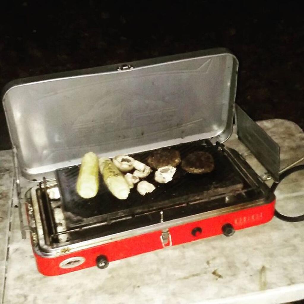
Dinner last night

Trip 7: Weekend trip to Piseco-Powley Road. Hiked back to Spectacle Lake, Good Luck Lake, and Good Luck Cliffs from NY 10. Drove the length of Piseco-Powley Road. Hiked from Piseco-Powley Road along Edick Road Extension, explored the well hidden Edick Road Campsite 1.

22) Friday, August 25 – Piseco-Powley Road, Stratford, NY
23) Saturday, August 26 – Piseco-Powley Road, Stratford, NY

Trip 8: Labor Day Weekend at Branch Pond Road in Kelly Stand, VT. Hiked back to Bourne Pond from Branch Pond. Poured on September 3rd.

24) Friday, September 1 – Branch Pond Road, Kelly Stand, VT
25) Saturday, September 2 – Branch Pond Road, Kelly Stand, VT
26) Sunday, September 3 – Branch Pond Road, Kelly Stand, VT *

DEC Commissioner Policy #38 – Forest Preserve Roads

For today’s fodder, we take a look at the policies relating to the development and maintenance of the forest preserve system of roads. In March 2006, DEC Commissioner Denise M. Sheehan issued this policy based on a lawsuit by the Residents Committee to Protect the Adirondacks, that allows for limited road maintenance and development, consistent with the Adirondack and Catskill Unit Management Plans.

While any road in a Adirondack or Catskill Park is bound to be controversial, there is a need to make some portions of the backcountry accessible to the general public. This policy attempts to balance constitutional restraints with the desire of the public to have access to parts of Adirondack and Catskill Park, that might otherwise be unaccessible.

Note: These requirements do not apply to roughly 800,000 acres of public lands outside of the Adirondack and Catskill Park on State Forests, Wildlife Management Areas and other areas. They also do not apply to intensive use areas.
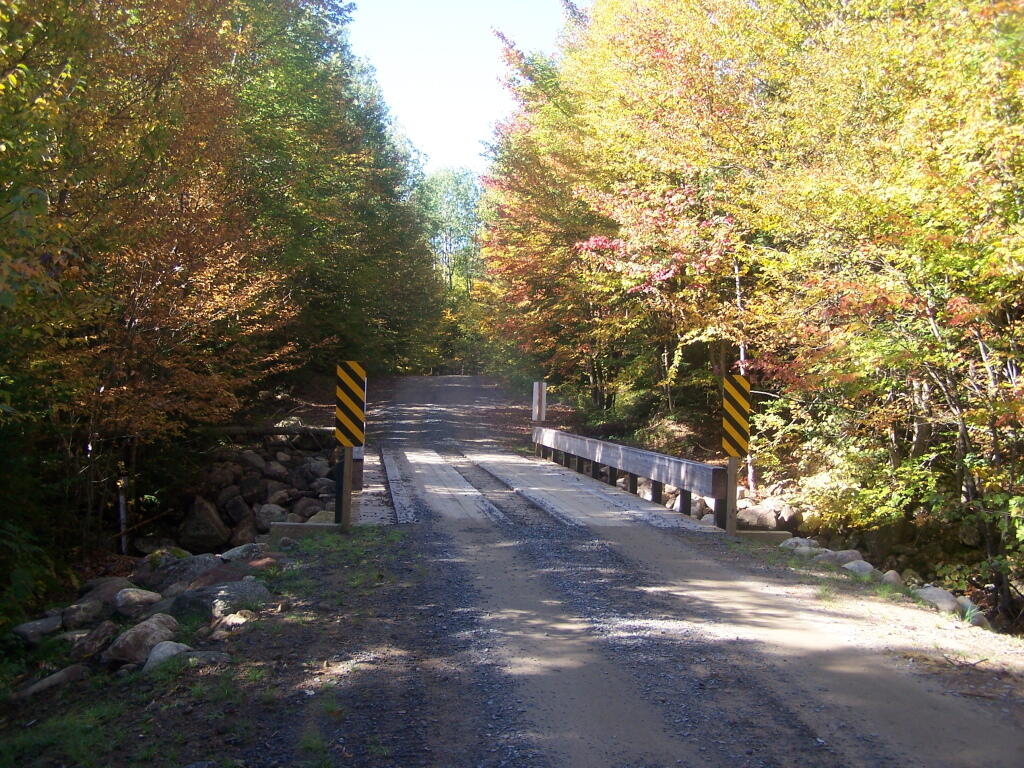
New Bridge Over Bradley Brook

I. Summary

This policy establishes procedures and protocols for the maintenance, rehabilitation, relocation, and, when authorized by the State Constitution, widening and new construction of roads and state truck trails under Department of Environmental Conservation (“Department”)jurisdiction in the Forest Preserve which are situated in units classified by the Adirondack Park State Land Master Plan (“APSLMP”) as Wild Forest, Primitive or Canoe Area or classified by the Catskill Park State Land Master Plan (“CPSLMP”) as Wild Forest. This policy pertains to all such roads and state truck trails on Forest Preserve lands whether or not they are open for public motor vehicle use, except it does not pertain to roads or state truck trails in Intensive Use Areas and Administrative Areas. Further, this policy establishes that generally Forest Preserve roads are low maintenance seasonal roads which are narrow, surfaced with gravel, suitable for low speeds, lightly traveled by the public, and partially or fully shaded by tree canopy. Such roads are further constructed and maintained to the minimum standard necessary to provide passage by appropriate motor vehicles in a manner which protects the environment.
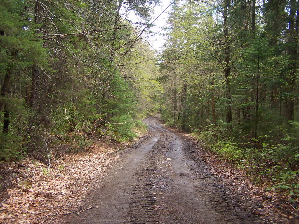
Less Muddy Section of Moose Club Way

II. Policy:

It is the policy of the Department to ensure that comprehensive and consistent procedures are applied to all maintenance, rehabilitation, widening and construction of roads and state truck trails (roads) in the Forest Preserve to ensure that such activities minimize the impacts on the environment and maintain the wild forest character of the road and state truck trail corridors.The 2003 Memorandum of Understanding Between the Adirondack Park Agency and theDepartment of Environmental Conservation Concerning Implementation of the State LandMaster Plan for the Adirondack Park (MOU) provides guidance concerning ordinary maintenance, rehabilitation and minor relocation of conforming structures and improvements on Forest Preserve lands in the Adirondack Park, including whether consultation between the two agencies is required. This policy is intended in part to build upon the MOU and provide additional direction and clarification on coordination of road work in the Adirondack Forest Preserve. This Policy takes precedence over previously existing authority, guidelines, andpolicies.

This policy does not include standards for determining if a road has become legally abandoned. Determinations of road abandonment will be made on a case by case basis inc onsultation with the Division of Legal Affairs.

1 The following definitions, guidelines, responsibilities and procedures shall govern work to be done on roads and state truck trails being carried out on lands of the Forest Preserve which are classified by the APSLMP or CPSLMP as Wild Forest, Primitive, or Canoe.

A. Definitions:

1.Brushing means cutting of woody vegetation less than 3 inches in diameter at breast height (d.b.h.).

2. Ditch means an excavated drainage structure situated adjacent and generally parallel to the driving surface and shoulder of a road or truck trail, designed to convey water away from the driving surface.

3. Ditchline means the low point or centerline of the ditch.

4. Drainage structure means a device which drains water off or away from the road. Drainage structures include such structures as water bars, ditches, French drains,culverts and underdrains.

5. Driving Surface means that portion of the road surface which is designed for vehicles to travel on.

6. Footprint means the limits of disturbance of the road. The foot print includes the driving surface, shoulders, drainage structures, and side slopes. The Original Footprint is the limit of disturbance of the road at the time that it was initially constructed. The currently maintained or existing foot print means areas of the footprint not currently occupied by trees greater than 3″ dbh.

7. French drain means a subsurface drain consisting of a trench backfilled with porous soil or loose stone and covered with earth or other appropriate surface material.

8. Minor relocation of a road or state truck trail means the relocation of a short segment of a road in order to avoid drainage, wetlands, safety, or other site specific problems which cannot otherwise be adequately addressed. A minor relocation shall be the minimum length of new road required to avoid or lessen the site specific problem, but shall not exceed 300 feet in length.

9. Mowing means cutting of non-woody vegetation and woody vegetation less than 3feet in height.

10. Ordinary maintenance means activities within the currently maintained footprint of the road which are needed to keep the road in good working order and which overtime do not materially change the use or appearance of the land or the vegetation thereon from its current use and appearance, including the maintenance or in-kind replacement of road appurtenances and work to address public health and safety issues where such maintenance or activities periodically occur on an as-needed basis. For purposes of this policy, ordinary maintenance includes the following activities when carried out within the currently maintained footprint:

i. pothole filling;

ii. blowdown clearing;

iii. grading of driving surface;iv. bridge repair and maintenance;

v. bridge replacement with a bridge of the same design and of similar dimensions and which is constructed of similar materials;

vi. culvert maintenance, or replacement with a culvert of a length not to exceed the existing foot print and the same nominal height as the culvert being replaced in the same location, provided that the culvert does not involve a freshwater wetland;

vii. drainage structure maintenance, or replacement with a structure in the same location with the same design and similar dimensions and which is constructed of similar materials;

viii. cleaning of existing ditches and culverts that do not impact fresh waterwetlands;

ix. mowing and brushing routinely maintained roads up to four feet beyond theshoulder or ditchline to maintain existing sight lines, road shoulders, andditches;

x. resurfacing of driving surface, with similar material as currently used on theroad, provided that such resurfacing will not likely facilitate levels of public motor vehicle use which significantly exceed existing levels of such use;

xi. limited rock removal that does not require blasting;

xii. trimming select individual tree branches that impede vehicular traffic, obscure sight lines, and hide roadside hazards; and

xiii. cutting select individual dead or hazardous trees pursuant to Lands and Forests Policy 91-2, Cutting and Removal of Trees in the Forest Preserve.

11. Rehabilitation means work that does not occur on a routine basis within the currently maintained footprint of the road which is essential to address environmental impacts, improve safety, or to restore the road or truck trail to a usable condition. It includes the construction of new road appurtenances or work outside of the currently maintained foot print of a road, but within the original footprint of the road. Rehabilitation includes but is not limited to the following activities:

i. placing culverts at new locations;

ii. replacing existing culverts with culverts that have a nominal height greaterthan the nominal height of the existing culvert;

iii. constructing new ditches or drainage structures;

iv. widening existing ditches;

v. cutting trees other than dead or hazardous trees pursuant to Lands and ForestsPolicy Lands and Forests Policy 91-2, Cutting and Removal of Trees in theForest Preserve;

vi. brushing in areas which have not been routinely maintained;

vii. resurfacing the driving surface where such resurfacing will likely facilitate levels of public motor vehicle use which significantly exceed existing levels of such use;

viii. resurfacing of the driving surface with material that is different from the material which currently covers the surface of the road when there is a clear determination that this measure is necessary to protect the natural resources of the Forest Preserve adjoining the road corridor by controlling erosion or runoff; and

ix. regrading of side slopes.

12. Road means motorized transportation corridors that include both roads and state truck trails as defined in the Catskill and Adirondack Park State Land Master Plans, unless the context indicates otherwise.

Road (APSLMP definition): The APSLMP defines “road” on page 18-19 as “an improved or partially improved way designed for travel by automobiles and which may also be used by other types of motor vehicles except snowmobiles, unless the way is a designated snowmobile trail; and is, either maintained by a state agency or a local government and open to the general public maintained by private persons or corporations primarily for private use but which may also be open to the general public for all or a segment thereof; or maintained by the Department of Environmental Conservation or other state agency and open to the public on a discretionary basis.

Road (CPSLMP definition): The CPSLMP defines “road” in Appendix C as “an improved way designed for travel by automobiles and which may also be used by other types of motor vehicles except snowmobiles, unless the way is a designated snowmobile trail; and is, either maintained by a state agency or a local government and open to the general public; or maintained by private persons or corporations primarily for private use but which may also be open to the general public for all or a segment thereof; or, maintained by the Department of Environmental Conservation or other state agency and open to the public on a discretionary basis; or, maintained by the Department of Environmental Conservation for its administrative use only.”

13. Road work means any physical alteration of a road including ordinary maintenance, minor relocation, rehabilitation, widening and new construction as defined in this policy.

14. Shoulder means a transition zone between the driving surface and the road edge or the ditchline. In general, a wheel of a motor vehicle is not on the shoulder unless the motor vehicle is parked or pulled over to let another car pass.

15. Side slope means that area outside of the ditch or road shoulder that is graded to a uniform slope in order to stabilize the soil between the ditch or shoulder and the native, undisturbed ground.

16. State truck trail:

i. State truck trail (APSLMP definition). The APSLMP on page 19 defines “state truck trail” as an improved way maintained by the Department ofEnvironmental Conservation for the principal purpose of facilitatingadministration of state lands or of allowing access for fire fighting equipment and not normally open for public use of motorized vehicles.

ii. State truck trail (CPSLMP definition). “State truck trail†is defined in Appendix C of the CPSLMP as “an improved way maintained by the Department of Environmental Conservation for the principal purpose offacilitating administration of state lands or to allow access for fire fighting equipment and not normally open to the public for motorized vehicle use.

17. Trimming means the removal of lateral branches or leaders of a tree or shrub, that does not sever the plant from its roots.

18. Underdrain means a perforated culvert in porous fill for drawing off subsurface water from the soil.

19. Widening means a lateral expansion of the currently maintained footprint, or lateral expansion of the driving surface of the road. Widening includes the clearing of trees and other vegetation from areas of the existing footprint that are not currently so maintained to restore the opening of the original footprint.

20. Work plan means a detailed description of work to be performed, the Best Management Practices that will be used in performance of the work, and the desired final condition of the road and surrounding area.

B. Guidelines for roads subject to this Policy

1. Determination of Road Width, Driving Surface and Desired Condition. The width, existing condition and desired condition of all roads will be addressed in Unit Management Plans (“UMPs”).. 2. Relocation, rehabilitation, widening or construction of roads. Any road work, except for ordinary maintenance, not authorized in a UMP may not be performed until it is determined whether or not a UMP amendment may be required. This determination will be made by the Director of the Division of Lands and Forests in consultation with APA after a work plan has been developed. Ordinary maintenance of existing roads does not require UMP authorization. Roads designated as closed in a UMP may not be maintained.

3. Work plans. All rehabilitation, relocation (including minor relocation), widening and new construction of roads in the Adirondack Park and the Catskill Park will be done in accordance with a written work plan. Work plans will detail the work to be performed and the Best Management Practices that will be used in performance of the work and the desired final condition of the road and surrounding area. In both the Adirondack Park and Catskill Park, ordinary maintenance of a road requires approval from the Regional Forester in the form of a written work order or an approved “Requests for Routine Maintenance Projects on Forest Preserve Lands.All work plans will describe the work to be performed, including any tree cutting, in relation to a linear distance from the projectâ’ starting point. Markers corresponding to the work described in the work plan shall be placed at the work site. Work plans should include photographs taken at representative locations along with location by location descriptions of the road condition, driving surface and width.

5 All work plans in the Adirondack Park will be developed in consultation with APA as per the MOU and must be approved by the Regional Director and the Director of the Division of Lands and Forests or their designees. If a work plan for a project in the Adirondack Park indicates that the proposed work may materially change the appearance of the land or vegetation thereon or use of the road, then the Director of the Division of Lands and Forests or the Director’s designee shall consult with APA staff to determine whether such work must first be authorized by an approved UMP or UMP amendment. If a work plan for a project in the Catskill Park indicates that the proposed work may materially change theappearance of the land or vegetation or use of the road, then the Director of the Division of Lands and Forests shall determine whether such work must first be authorized by an approved UMP or UMP amendment.

4. Best Management Practices. All work on roads shall be done in accordance with Best Management Practices (BMPs). The New York State Forestry Best Management Practices for Water Quality, BMP Field Guide shall serve as a reference for developing BMPs.

5. Approvals and Consultation

i. Ordinary Maintenance. Ordinary maintenance of a road in the Adirondack Park does not require either APA consultation or UMP authorization, except that, as per the MOU, APA consultation is required if wetlands might be impacted. Ordinary maintenance of a road in the Catskill Park does not require UMP authorization, except that consultation with the Department’s Division Fish, Wildlife and Marine Resources Freshwater Wetlands Manager is required if wetlands might be impacted. In both the Adirondack Park and Catskill Park, ordinary maintenance of a road requires approval from the Regional Forester in the form of a written work order or an approved “Requests for Routine Maintenance Projects on Forest Preserve Lands.”

ii. Rehabilitation. Rehabilitation of roads has the potential to impact the wild forest character of the road, cause significant environmental impacts and facilitate additional public use. For these reasons, rehabilitation of roads inthe Adirondack Park requires a written work plan and consultation with the APA. Depending upon site specific considerations, rehabilitation may require authorization by an approved UMP or UMP amendment. This determination requires approval from the Director of the Division of lands and Forests and will be made in consultation with APA.

ehabilitation of roads in the Catskill Park requires approval from the Director of the Division of Lands and Forests or the Director’s designee and, depending upon site specific considerations, may require authorization in an approved UMP or UMP amendment.

iii. Minor relocation . Minor relocation of roads in the Adirondack Parkrequires a written work plan, approval from the Director of the Division of Lands and Forests and consultation with the APA, and may require a UMP or UMP amendment. Minor relocation of roads in the Catskill Park requires a written work plan and approval from the Director of the Division of Lands and Forests, or the Director’s designee, and requires authorization in an approved UMP or UMP amendment. Relocation of portions of roads or state truck trails that are greater than 300 feet, or any or relocation that may have significant environmental impacts will be considered as constituting new road construction and must follow the procedures and protocols on new road construction set forth subsequently in this document.In the Adirondack Park, the determination of whether a particular road relocation project constitutes a minor relocation will be made by the Director of the Division of Lands andForests or the Director’s designee in consultation with the APA. In theCatskill Park, the determination of whether a particular road relocation project constitutes a minor relocation will be made by the Director of the Division of Lands and Forests or the Director’s designee.

iv. Road widening and new road construction on roads in units classified as Wild Forest. As noted above, the widening of existing state truck trails and roads and the construction of new state truck trails and roads on lands classified as Wild Forest under the APSLMP and the CPSLMP, must be authorized by the State Constitution.

Supplementing this constitutional requirement is the APSLMP’s requirement that “No new roads will be constructed in wild forest areas nor will new state truck trails be constructed unless such construction is absolutely essential to the protection or administration of an area, no feasible alternative exists and no deterioration of the wild forest character or natural resources quality of the area will result.

The CPSLMP requires that, in Wild Forest, “No new roads will beconstructed. No new state truck trails will be constructed unless suchconstruction is absolutely essential to protect or administer an area and there will be no material adverse effect on the wild forest character of the area by the proposed construction. Further, the APSLMP and the CPSLMP require that such work must be authorized by an approved UMP. To ensure that such work is authorized by the State Constitution and that environmental issues are identified and fully addressed, widening and new construction of roads in the Adirondack Park must be authorized by an approved UMP or UMP amendment, and require a written work plan and consultation with the APA as per the MOU.

Widening and new construction of roads in the Catskill Park must be authorized by an approved UMP or UMP amendment, and require a written work plan which must be approved by the Regional Director and the Director of the Division of Lands and Forests, or their designees.
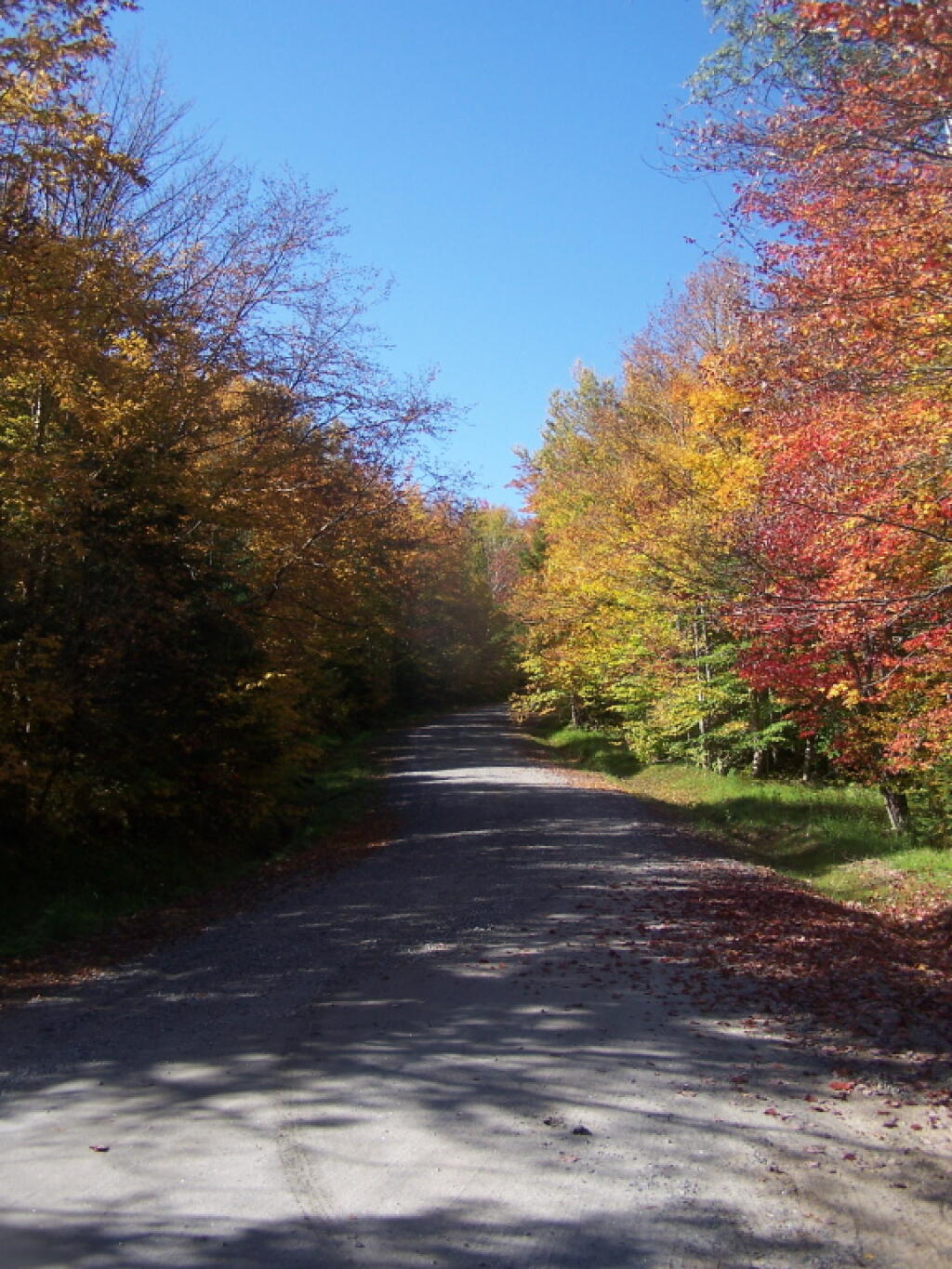
Road Wandering Up Back Side of Sturges Hills

III. Purpose and Background:

Forest Preserve roads, which are generally low maintenance seasonal roads, are a means of providing the public with access to recreational programs on Forest Preserve lands.

Although design, maintenance and rehabilitation standards for these roads must provide for the health and safety of users, such roads must be consistent with the “wild forest” character of the Forest Preserve and comply with the requirements of the APSLMP or the CPSLMP, as applicable. Thus, proposals for road work in the Forest Preserve must be carefully scrutinized to ensure that health and safety goals are accomplished in a manner which maintains the existing wild forest character of the road corridors and otherwise complies with applicable law.

Article XIV, Section 1 of the New York State Constitution, the paramount legal authority with respect to Forest Preserve land management, provides in relevant part:

“The lands of the state, now owned or hereafter acquired, constituting the forest preserve as now fixed by law, shall be forever kept as wild forest lands. They shall not be leased, sold or exchanged, or be taken by any corporation, public or private, nor shall the timber thereon besold, removed or destroyed. (Emphasis added).”

All road work for roads in the Forest Preserve must be consistent with the directives contained in this constitutional provision. Case law interpreting this provision has held that an immaterial amount of tree cutting does not violate this clause when done in furtherance of one of the purposes for which the Forest Preserve was created, namely, watershed protection and public recreation in a forever wild forest setting. See The Association for the Protection of the Adirondacks v. MacDonald, 253N.Y. 234 (1930); Balsam Lake Anglers Club v. Department of Environmental Conservation, 199 A.D. 2d 852, 605 N.Y.S. 2d 795 (App. Div., Third Department, 1993); Helms v. Reid, 90 Misc. 2d 583 (Hamilton County Supreme Court, 1977), and Flacke v. Town of Fine 113 Misc. 2d 56 (St. Lawrence County Supreme Court, 1982).

Under the rationale set forth in these cases, Forest Preserve road corridors should maintain a wild forest character, with minimal tree cutting. Thus, the current character of Forest Preserve roads should not be changed, and such roads should continue to have narrow driving surfaces, be surfaced with gravel, be suitable for low speeds only, and be shaded by tree canopy.

Roads and state truck trails are nonconforming in areas classified by the APSLMP and CPSLMP as Wilderness. Therefore, there shall be no maintenance, rehabilitation, relocation, widening, or new construction of roads or state truck trails in Wilderness areas.

In areas classified as Primitive by the APSLMP, existing roads and state truck trails may be maintained, rehabilitated or relocated only if the road or truck trail was in existence when the land was classified as Primitive and the road or truck trail is used by administrative personnelto reach and maintain structures and improvements whose removal cannot be effected by a fixed deadline or whose presence is of an essentially permanent character.

In addition, existing roads in areas classified as Primitive may be maintained, rehabilitated or relocated if the roads are open for public use at the Department’s discretion pending wilderness classification. There may be no widening or new construction of roads or state truck trails in Primitive Areas.

In areas classified as Canoe by the APSLMP, the use of roads is prohibited and therefore such roads may not be maintained, rehabilitated, relocated, widened or constructed. Existing state truck trails in areas classified as Canoe may be maintained, rehabilitated or relocatedwhere the truck trails are being used by administrative personnel for purposes designed to preserve or enhance the water or fishery resources of the area as specified in UMPs. The widening or new construction of truck trails is prohibited in Canoe areas.

In areas classified as Wild Forest by the APSLMP, existing roads and state truck trails which are used solely by administrative personnel to reach, maintain and construct permitted structures and improvements may be maintained, rehabilitated, and relocated, but may not be widened. New roads and state truck trails to be used solely for these purposes may not be constructed. Existing public roads open to the public for motor vehicle use in APSLMP Wild Forest areas may be maintained, rehabilitated and relocated. Existing public roads maybe wide ned only if authorized by Article XIV, Section 1 of the New York State Constitution.

No new roads or state truck trails will be constructed in APSLMP Wild Forest areas unless such construction is authorized by Article XIV, Section 1 of the New York State Constitution and such construction is absolutely essential to the protection or administration of the area, no feasible alternative exists and no deterioration of the wild forest character or natural resource quality of the area will result. In addition, such construction is allowed only if it will not result in a material increase in the cumulative mileage of roads open to motorized use by the public in Adirondack Park Wild Forest units.

In areas classified as Wild Forest by the CPSLMP, existing roads and state truck trails which are used by administrative personnel to reach, maintain and construct permitted structures and improvements, to conduct approved fish and wildlife research and management projects, for rescues, or for other appropriate law enforcement and general supervision of public use may be maintained, rehabilitated, and relocated, but may not be widened.

New roads and state truck trails to be used solely for these purposes may not be constructed. Existing public roads open to the public for motor vehicle use in CPSLMP Wild Forest areas may be maintained, rehabilitated, and relocated. Existing roads and state truck trails may be widenedonly if authorized by Article XIV, Section 1 of the New York State Constitution. No new roads or new state truck trails will be constructed in CPSLMP Wild Forest areas unless such construction is authorized by Article XIV, Section 1 of the New York State Constitution and such construction is absolutely essential to protect or administer the area and there will be no material adverse effect on the wild forest character of the area by the proposed construction.

In addition, such construction is allowed only if it will not result in a material increase in the cumulative mileage of roads open to motorized use by the public in the Catskill Park Wild Forest units. This policy is intended to ensure that road work in the Forest Preserve is in compliance with constitutional and APSLMP and CPSLMP directives. Thus, this policy will ensure that all road and state truck trail maintenance, rehabilitation, relocation, widening and construction projects will be properly authorized and that work plans will be developed and appropriately approved prior to the commencement of such work. This policy will enable staff to determine whether such work: requires approval by the Regional Forester and the Director of the Division of Lands and Forests or the Director’s designee; requires consultation with the Adirondack Park Agency; and requires authorization by an approved UMP or UMP amendment

The policy also will enable staff to determine whether a work plan is needed, and, if so, what it must contain and who must approve it.
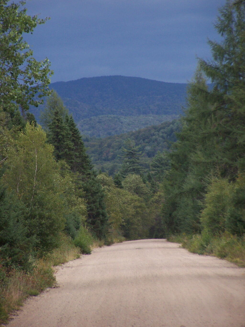
Little Moose Mountain

IV. Responsibility:

It shall be the responsibility of all Department divisions and staff to implement the guidelines and procedures of this policy.

It shall be the responsibility of the Forester assigned as the land manger of a management unit to prepare work plans for the unit in consultation with the Division of Operations. It shall be the responsibility of the Regional Forester to review and approve work plans for road work and ensure that work plans are developed for all road work as required by this policy. The Regional Forester shall ensure work plans are in compliance with UMPs and that current best management practices are utilized and any associated impacts on the environment are minimized. It shall be the responsibility of all Department staff involved in road work projects in the Forest Preserve to ensure that all work authorized and is carried out in accordance with the approved work plan and to ensure that any tree cutting complies with policy Lands and Forests Policy 91-2, Cutting and Removal of Trees in the Forest Preserve.It shall be the responsibility of the Regional Director and the Division Director or their designees to review and approve any work plans for road work involving maintenance, relocation, rehabilitation, widening, and new construction proposed under this policy and to assign staff to coordinate with the APA where such coordination is appropriate under thispolicy.

It shall also be the responsibility of the Director of the Division of Lands and Forests to periodically review the provisions of this policy and recommend amendments, where necessary.
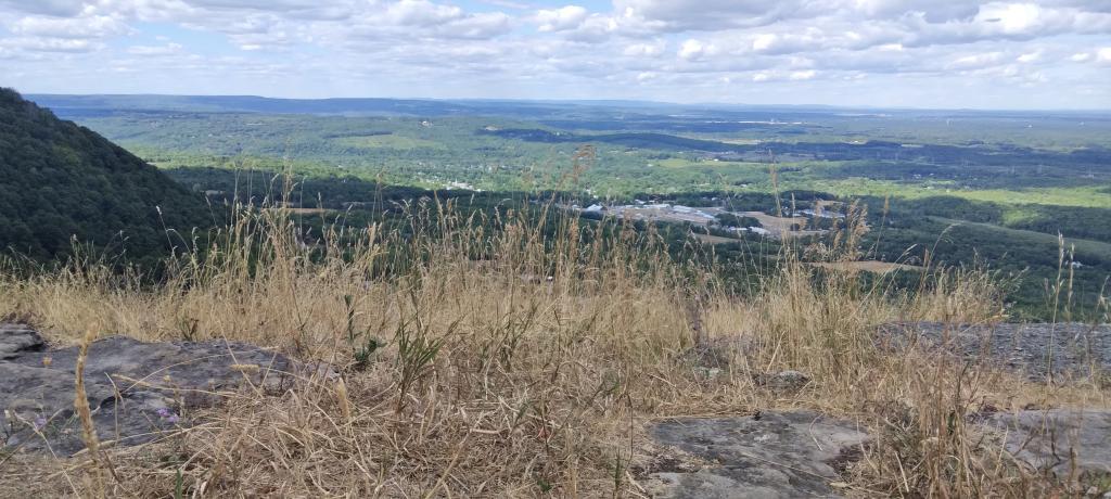
Dry Grass at Hang Gliders Cliff

V. Procedure:

The management and actions taken regarding road maintenance, rehabilitation, widening, relocation, and construction on Adirondack Forest Preserve lands shall be in accordance with the above stated policy and the following procedure:

1. Regional staff shall consult with Regional Forester to determine if a proposed project is ordinary maintenance, rehabilitation, minor relocation, relocation other than minor relocation, widening or new construction.

2. APA consultation is required if wetlands in the Adirondack Park might be impacted as required per the MOU. Depending on the scope of the work, an APA Jurisdictional Inquiry Form and Application for Wetlands General Permit, 2005G-1, may be required.

3. Ordinary maintenance of roads may be carried out with the approval of the Regional Forester. At the Regional Forester’s discretion, a work plan may be required for ordinary maintenance. Such work plans must be approved by the Regional Forester and the Director of the Division of Lands and Forests or their designees.

4. All rehabilitation, minor relocation, widening and new construction of roads in the Adirondack Park will be done in accordance with a written work plan prepared by DEC staff in consultation with the APA as per the MOU. All relocation projects should be forwarded to the Director of the Division of Lands and Forests for consultation with APA to determine if the project is considered a minor relocation. Projects that are not part of an approved UMP or UMP amendment and are not minor relocations will be referred to the Director of the Division of Lands and Forests forconsultation with APA to determine if an approved UMP or UMP amendment isrequired for the project.

5. The Regional Forester will ensure that the work plan details the work to be performed, the BMPs that will be used in performance of the work, and the desired final condition of the road and surrounding area. All work plans must describe the work to be performed, including any tree cutting, in relation to a linear distance from the project’s starting point. Markers corresponding to the work described in the work plan shall be placed at the work site. Work plans should include photographs taken at each station and at representative locations along with station by station descriptions of the road condition, driving surface and width.

The Regional Forester will forward work plans approved by the Regional Director or the Regional Director’s Designee to the Director of the Division of Lands and Forests. The Division Director or the Division Director’s designee will notify the Regional Forester of approval or denial of the work plan.
The management and actions taken regarding road maintenance, rehabilitation, minor relocation, relocation, widening and construction on Catskill Forest Preserve lands shall be in accordance with the above stated policy and the following procedure:

1. Regional staff shall consult with the Regional Forester to determine if the proposed project is ordinary maintenance, rehabilitation, minor relocation, relocation other than minor relocation, widening or new construction.

2. Consultation with the Department’s Division of Fish, Wildlife and Marine Resources Freshwater Wetlands Manager is required if wetlands might be impacted.

3. Ordinary maintenance of roads may be carried out with the approval of the Regional Forester.

4. All rehabilitation, minor relocation, widening and new construction of roads in the Forest Preserve will be done in accordance with a written work plan prepared by Department staff. All relocation projects should be forwarded to the Director of the Division of Lands and Forests to determine if the project is considered a minor relocation. Projects that are not part of an approved UMP or UMP amendment will be referred to the Director of the Division of Lands and Forests to determine if an approved UMP or UMP amendment is required for the project.

5. The Regional Forester will ensure that the work plan details the work to be performed and the Best Management Practices that will be used in performance of the work and the final condition of the road and surrounding area. All work plans must describe the work to be performed, including any tree cutting, in relation to a linear distance from the project’s starting point. Markers corresponding to the work described in the work plan shall be placed at the work site.

The Regional Forester will forward work plans approved by the Regional Director or the Regional Director’s Designee to the Director of the Division of Lands and Forests. The Division Director or the Division Director’s designee will notify the Regional Forester of approval or denial of the work plan.

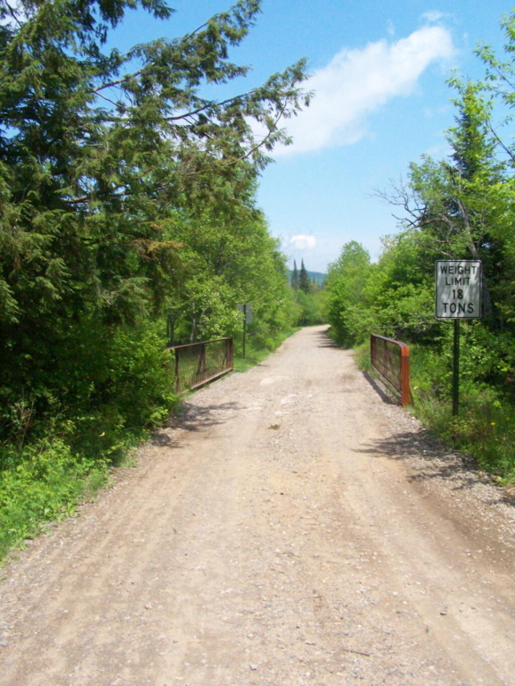
Sunny Morning at Powley Place Bridge

Related References:

Adirondack Park State Land Master Plan (APSLMP), Adirondack Park Agency, June 2001

Catskill Park State land Master Plan (CPSLMP), NYSDEC, 1985

New York State Forestry, Best Management Practices for Water Quality, BMP Field Guide,NYSDEC, January 2000

Lands and Forests Policy 91-2, Cutting and Removal of Trees in the Forest Preserve

2003 Adirondack Park Agency/Department of Environmental Conservation Memorandum ofUnderstanding
August 8, 2016 9 AM Update

Good morning! Monday’s come back around again, and it’s a beautiful one. Sunny and 66 degrees in Bethlehem, NY. Calm wind. The dew point is 58 degrees. There are 145 days remaining in the year.

Today will be sunny, with a high of 84 degrees at 3pm. Two degrees above normal. Light northwest wind increasing to 6 to 11 mph in the afternoon. Maximum dew point of 58 at 8am. The record high of 95 was set in 1983. The sun will set at 8:05 pm with dusk around 8:36 pm, which is 1 minutes and 21 seconds earlier than yesterday. Today will have 14 hours and 9 minutes of daylight, a decrease of 2 minutes and 25 seconds over yesterday.

Tonight will be clear, with a low of 57 degrees at 5am. Four degrees below normal. Low humidity conditions continue. West wind around 5 mph becoming calm in the evening. Maximum dew point of 56 at 8pm. The record low of 46 occurred back in 1989.

Cloudy periods:
Wednesday 4 am to 10 pm – rain and thunderstorms expected

Rain expected:
Wednesday 2 to 8 am – slight chance of rain and thunderstorms
Wednesday 8 am to 8 pm – chance of rain and thunderstorms – 0.29 inches expected
Wednesday 8 pm to Thu. 8 am – slight chance of rain and thunderstorms
Thursday 8 am to 8 pm – chance of rain and thunderstorms – 0.22 inches expected
Thursday 8 pm to Fri. 8 am – slight chance of rain and thunderstorms

There are 1 week until National Relaxation Day when the sun will be setting at 7:55 pm with dusk at 8:25 pm. Enjoy a nice early sunset that night.The average high temperature is 81 degrees, with a record high of 96 in 1959.

Today back in 1879, Thomas Edison receives a patent for his mimeograph. Teachers have been getting high on mineograph fluid ever since, although at this point those teachers have all retired and probably have cancer from breathing in a those fumes.

Back in 1969, photographer Iain Macmillan takes the iconic photo that becomes the cover of the Beatles album Abbey Road. It was the beginning of the end for the Beatles. 

Didn’t sleep all that well in Big Red last night. The sun got in my eyes pretty early in the morning, and I ended up staying up late fixing some blog code. So I’m tired going into a Monday. But it was a good weekend.

This morning I will call the DEC about that downed tree blocking Betty Brook Road. There is no easy place to turn around there, and it’s a big detour over CCC Road and would require them just to send a guy from the Operations division with a chainsaw to cut it.

Big Red has occasionally been giving me trouble starting the first or second time I turn the key since about July. Sometimes nothing happens when you turn the key sometimes it stalls within five seconds of turning the key.  Either a sensor or ignition switch is acting up. The problem is so random and so rare, that there is nothing to fix. Always starts on the second time.  Only the third time this has occurred.  Just something to keep my worrying mind thinking about it.

After think an deciding again a dashboard camera, I’m now again thinking about a drone. I just want new ways to take pictures. Maybe I’ll hold off until the Christmas season when prices will continue to drop and there are some good sales. I have a feeling I could take some spectacular aerial photographs of forests and ponds in the wilderness.

Weekend at Bear Springs Mountain, Delaware Wild Forest, Warren Highlands

Based on the forecast for the long weekend, I decided to head down to the Western Catskills rather then Moose River Plains. It certainly was a bit sunnier, drier, and less snowy then it looks like they got up at Moose Plains. I simply did not another Memorial Day Weekend at Moose Plains, sitting in rain and snow showers.

I ended up heading down to the Western Catskills. Didn’t leave home until after 10 AM, because I was putzing around. So be it. I also had to stop at Walmart to buy another blaze orange hat, for hiking, because I lost mine. I knew it would be hunting season down there, and figured better safe then sorry. The previous night, they didn’t have one at Glenmont Walmart, so had to visit the Decided to head out the Warren Anderson Expressway (I-88) down to NY 10, and take that all the way south to Walton.

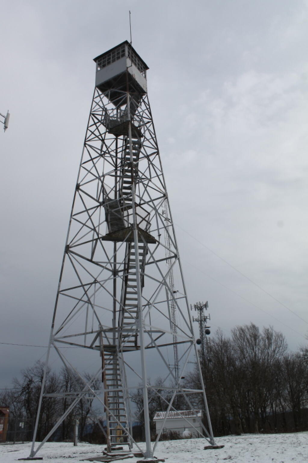
Fire Tower

Driving down NY 10, as soon as I reached Summit, you could see a dusting of snow on the summits around. Stopped in Stamford, drove up to Mount Utsaythana. There was a dusting of snow there too, in parts it looked like a winter wonderland. Then it was down to Walton, following NY 10 and the East Branch of Delaware River. Drove through Delhi, a small rural college town. I had been through Delhi years ago, meandering around Stamford, but not in years. Then I went down to Walton, climbed an enormous hill in the truck, and was at the Bear Spring Mountain Wildlife Management Area (aka Public Hunting Grounds).

At Bear Spring Mountain WMA there is a state DEC campground known as Bear Spring Mountain Campground. It consists of two parts, a fully developed campground with hot showers that is open during the summer months near Launt Pond, and the Spring Brook area with stud pends and a pit privy, similar to Charles Baker State Forest. Both areas are a $18 a night in summer, but from October to the end of hunting season, the lower area is free, but the water is shut-off down there. The designated campsites there are crunched together, and there is no privacy, so I can’t imagine it’s much fun camping there, especially with the smell of horses on a hot summer’s afternoon.

By the time I got down there, it was fairly early, so decided to explore a bit. Drove up to Corbett, explored the Corbett Suspension Bridge, and an old chimney from the “acid factory”, which made an acid from tree bark for smokelesss gunpowder. Decided to head back and explore Bear Spring Mountain WMA a bit more, and drove up West Trout Brook Road, past several hunters. There are some limited views from end of East Trout Brook Road, namely at the summit Bear Spring Mountain. There are better views from NY 206, climbing up from Walton, but with few view points. Also explored Beers Brook Road, which had some limited but nice views into the valley below, and Russ Gray Pond.

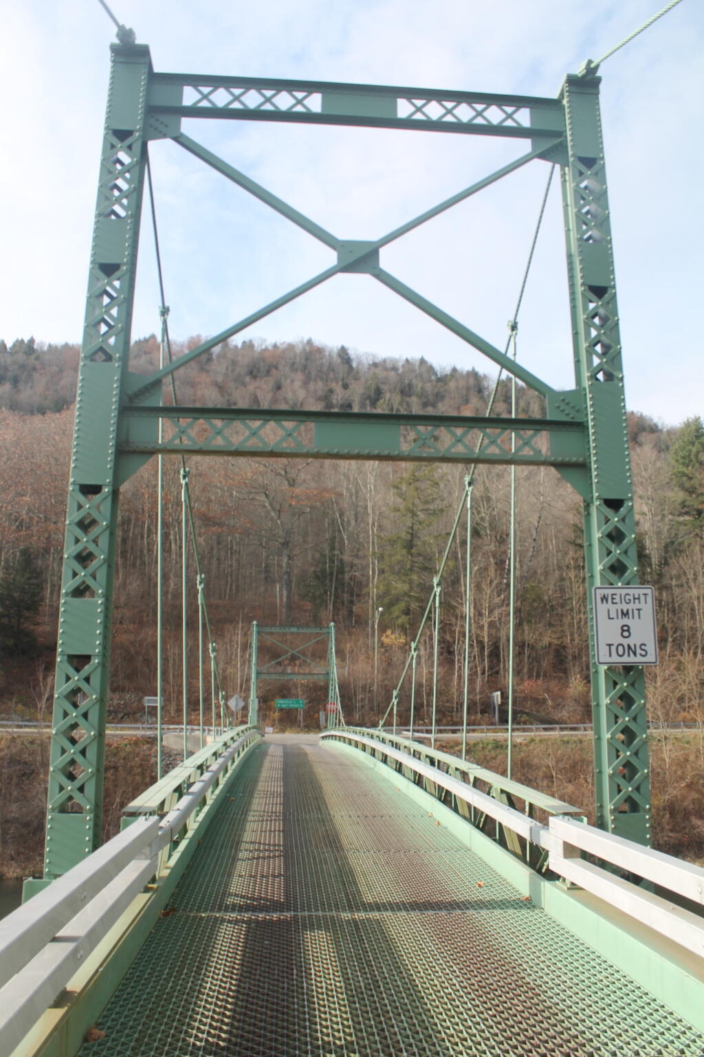
Bridge Tower

Bear Spring WMA, being a federally-funded public hunting grounds, does not allow camping. The only camping there is those tiny, smashed together developed campgrounds known as the Bear Spring State Campground, operated by the DEC. I decided it was getting late, and I would camp there tonight, especially because it looked like one of campers had packed up, and the only other person around, was a female bow hunter, on far end of the campground. I wasn’t thrilled, as it meant I would have to keep the music down, but at least the campground was deep in the valley, protected from the wind.

It wasn’t a bad night though. The pit privies were kind of gross, but probably not worst then most of the outhouses in the woods. There was surprisingly a lot of wood in woods near the campground. The truck worked well with keeping the lights on, since switching the truck’s radio back to the starting battery and evenly discharging both batteries. The radio shuts off automatically when the starting battery is starting to get a bit low, and Big Red’s DIC says “Battery Low: Start Engine Low”. Previously, with the starting battery at full charge, hooked up to the discharged auxiliary battery, the alternator wouldn’t kick up to full charge, so the auxiliary battery would fail to get fully charged. Now, with the starting battery slightly discharged – but with enough charge to crank the engine, things kept working well all night long. There was a little bit of sleet in the evening, but nothing major.

Russ Grey Pond

The next morning, I got a slow start. It was drizzling, and I kind of slept in. I didn’t have a tarp set up, which didn’t help. I probably didn’t break camp until 10:30 AM..I was thinking of hiking the NYC DEP trail that overlooks the Pepacton Reservoir, but I ended up turning off onto Holiday Brook Road, and deciding to check out Huggins Lake. Hugging Lake was a nice hike back, following an old woods road back there. There is a campsite down by the lake. Apparently on the ridge above Huggins Lake, there is an old growth forest, but I never got back there.

Then it was off to Mary Smith Road. On Campground Road, one of the cut-over roads, I got to a cover bridge, which had a clearance of 6’6”, which is about an inch too low for my pickup truck with the cap and racks on. So I had to turn around, and back track for about 5 miles. That sucked. Stopped and grabed a few pictures. When I got on Mary Smith Road, and back in forest preserve, I was pleasantly surprised to find three roadside campsites on it. I ended up camping at the most used of the sites – as witnessed by vegetation – along the Finger Lakes Trail/Mary Smith Trail/Middle Mountain Trail. It was a pretty nice roadside campsite.

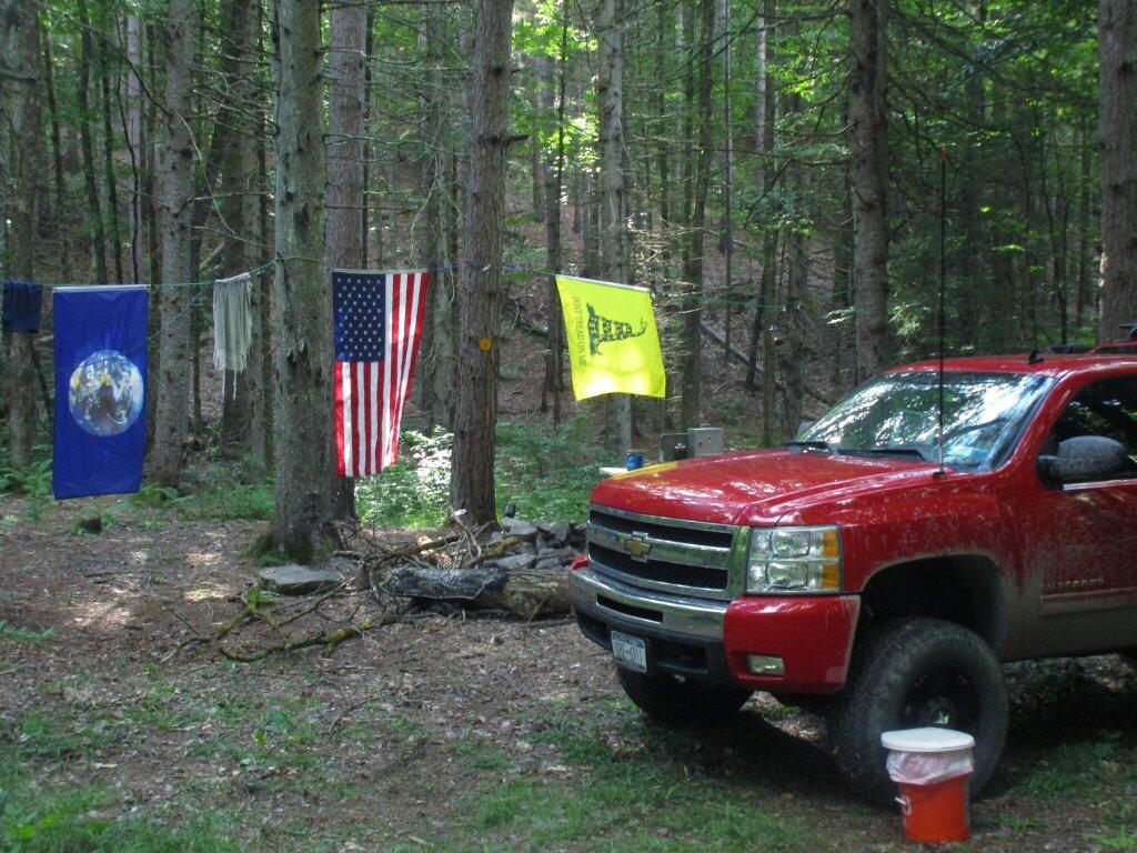
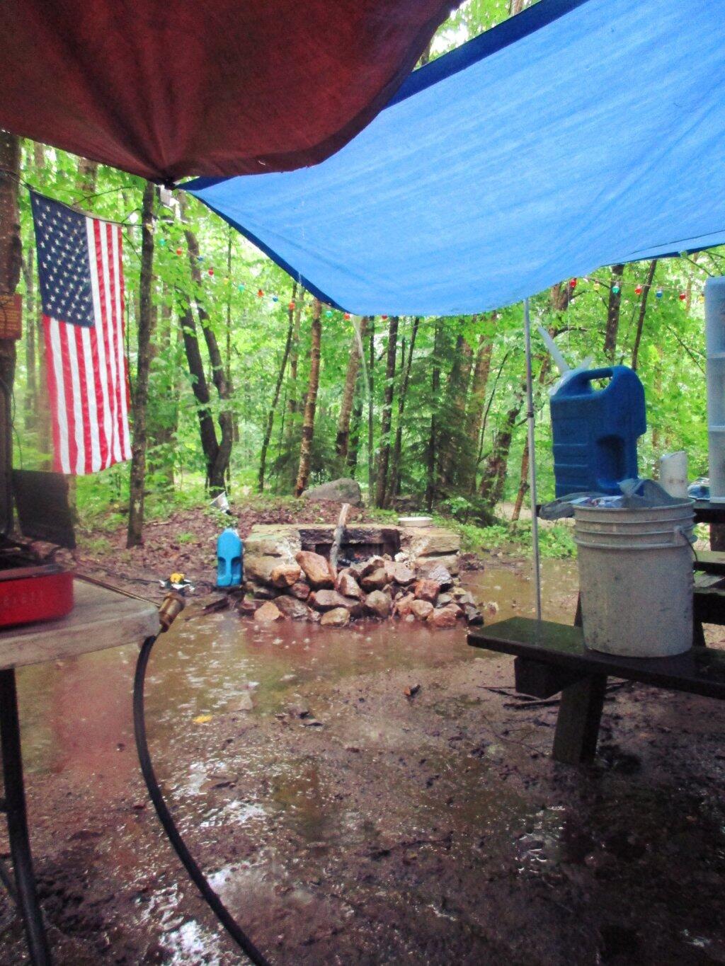
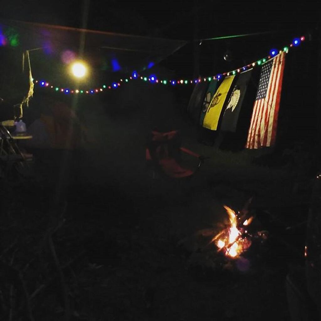
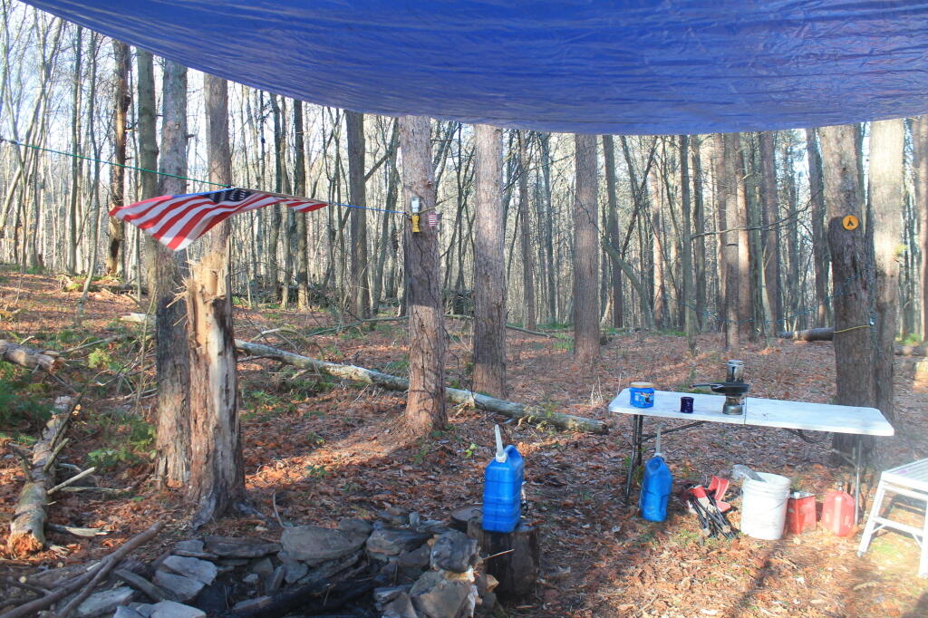
About as soon as I scoped out the campsite, I realized it would be a pretty night up there. Despite the mountains on both sides, the north wind was whipping along the col. But I liked the campsite, and there was plenty of trees to hang a tarp up. I starting setting up camp at 2:30 PM – which was kind of early – but I figured it was too late to hike Mary Smith Hill (which wasn’t true), but it did start to rain/sleet a bit. Got the tarp up, then the lights strung up and flag up. A heavy sleet squall pounded the col, for a while bad enough I hid out in the cab of the truck. Then I went out, built a fire, and spent sometime listening to a podcast and reading a book about the 1964 World Fair in New York.

The new 60-watt equivalent LED bulb I bought worked real well in the cold, which got down below freezing that night.. But with the bulb focused on the book, it was easy reading and plenty bright. In the cold, the 60-watt equivalent LED bulb was actually brighter then the 100-watt florescent bulb I had at camp, even after fully warming up, because the cold wind made it impossible for the florescent tube to get warm enough to fully atomize the mercury in the fixture.

At times the wind picked up, and it was pretty darn cold, to say the least. I end up putting the fire out cold before bed, to reduce the risk of the fire spreading, and because the tarp partially covered the fire pit, I was afraid it could fall into the fire, and possibly set the truck on fire or cause dripping plastic to fall on it. The fire was out cold, and I went to bed around 10:30 PM. No nightmares.

Mary Smith Hill Roadside Campsite 1

After bedding down, the wind started to whip around. It literally was howling, and the tarp was snapping up and down, making quite a bit of noise. Morning came, and it was beautiful blue skies, but very cold. That was when I first saw car actually pass by on Mary Smith Hill Road – despite being a through-road, and not a super remote road at that. Had another slow breakfast, and built a small fire to burn up some camp garbage. Usually I don’t start fires in the morning, but I was chilly, and knowing that it may be a while until I got out camping again, I wanted to have a fire.

Once I finally got going, I hiked up Mary Smith Hill to the overlook. It really was a lot less further then I expected, and ha+d some interesting views to the north. Nothing totally breathtaking, but still an interesting short hike of maybe 20 minutes each way. Then I drove over to Russell Brook Falls, making a wrong turn and ending up going through Livingston Manor and the world famous fly fishing town, Roscoe. My impression of Roscoe, was it was a very a long and pokey 30 MPH zone, but with more stores then one would expect in such a rural, small town. I probably should have stopped, but I was burning daylight.

Finally made it to Morton Hill Road, and passed a Game Warden in a unmarked green suburbanite-style Jeep. The only reason I know that, was I saw him outside of the car talking to somebody in full uniform. Morton Hill Road climbs a lot from Roscoe out to where it hits Russell Brook Road. There are three campsites along Russell Brook Road, although in all of them there is a boulder barrier between the campsite and fire pit. One might still be able to use them for a pickup with a camper on them, I guess.

Russell Brook Falls 2

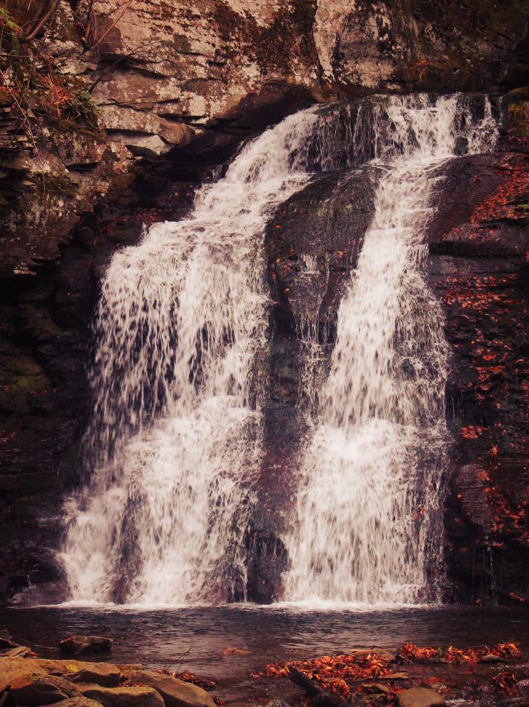
I hiked back to Russell Brook Falls – a beautiful but relatively unknown set of falls – at least to non-regulars to that part of state. They are less then quarter mile from the Russell Brook Falls parking area. I stopped and grabbed some pictures. Then, it’s easy hike back to back to Trout Pond, following a gated road 9/10th of a mile from the parking area. There is a slight incline on the road, but nothing to make one break a sweat, even a fat out of shape dude like me, who spends too much time sipping cold buds in the woods. The road is a designated route for people with disabilities – somebody very strong with a wheel chair could theoretically get back there, or maybe with a CP-4 disabled with an ATV permit.

Back at Trout Pond, there is a campsite on the easterly end, and the gated road continues to the west end of lake. On the west end of the lake, there are two other campsites, spaced a ¼ mile apart, along with two lean-tos. All are designed for those with disabilities. There is also a trout spawning shelter on one of the creeks leading into lake. One of the lean-tos was well equipped – somebody left behind some nice pots and pans, all cleaned up, and a selection of perfectly good adult beverages and soda along the back wall of the lean-to. Talk about paying it forward to the next person who will use that lean-to – most certainly a hunter this time of year.

It’s small game hunting season, heard several small game bullets ring out, while hiking back there. No hunters nearby, as far as I could see, but I did wear plenty of blaze orange. I am sure next week, there will be a lot more hunters back there. Wish them luck. Hiked back to my truck and explored Campbell Mountain Road and Campbell Brook Road, looking for additional roadside campsites, preferably the kind you can back a pickup all the way back to. No such luck. Oh, well.

Trout Pond

Then I drove down NY 30, through the hamlet of Harvard, then East Branch. Took Old Route 17 to Hancock, then poked around the Poconos and the Warren Highlands in Pennsyltucky, before eventually ending up in Susquehanna and Great Bend. The area around Hancock is very mountainous and beautiful. The Warren Highlands were rough, mostly hunting and rural landscape country, with a relatively small amount of farming going on. Lots of open burning going on too – I love Pennsylvania..

I love that wild country, and everything Pennsylvania. Fueled up, picked up certain Pennsylvania products not legal in New York and/or cheaper then New York, then hopped on I-88/Warren Anderson Expressway, and made a bee-line back to Delmar, stopping only momentarily at the rest stop on I-88. That place was creepy as all hell after dark, and not well lit either. I seriously thought of just taking a piss in some farm

I made it back to Delmar around 7 PM. It was a good adventure. Burned through more gasoline, then I had planned, although on the trip back along I-88, I average 19.9 mpg in my Big Red Silverado pickup, so not complaining.

A long-weekend trip in early November to explore the the Western Catskills.