Search Results for: South Valley State Forest

Late Fall Camping at Sugar Hill

On my way down to Pennsylvania and on my way back to Albany, I spent a two nights camping out at Sugar Hill State Forest, lower Assembly area. While the area is primarily designed for equestrians, it does offer a person who seeks drive-in camping without a permit in Finger Lakes Region a place to stay.

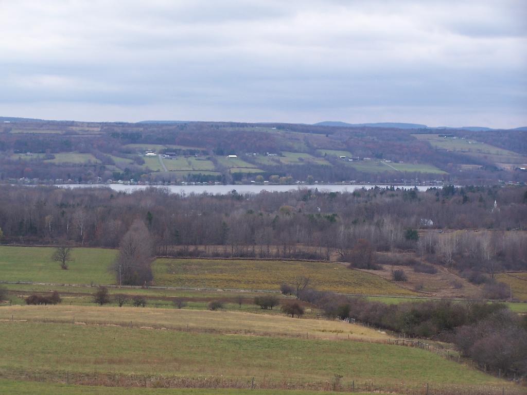
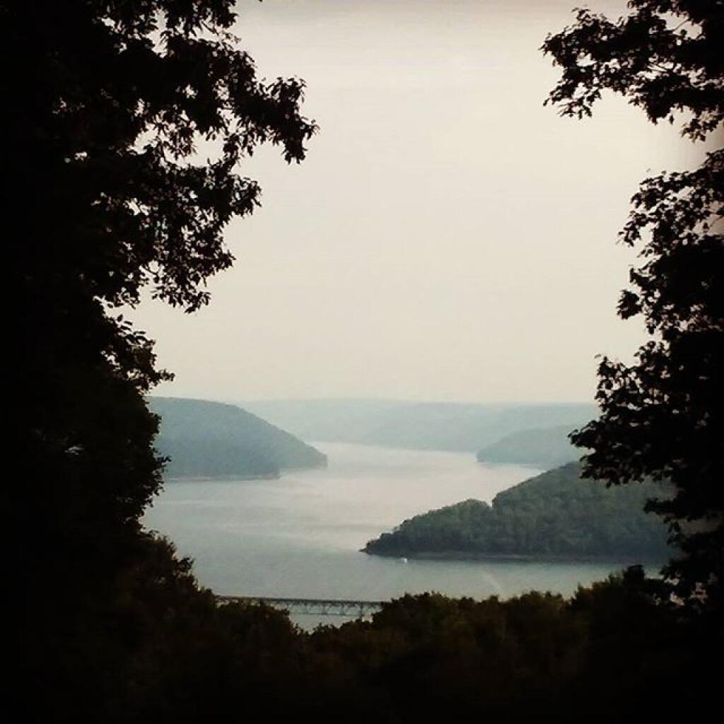
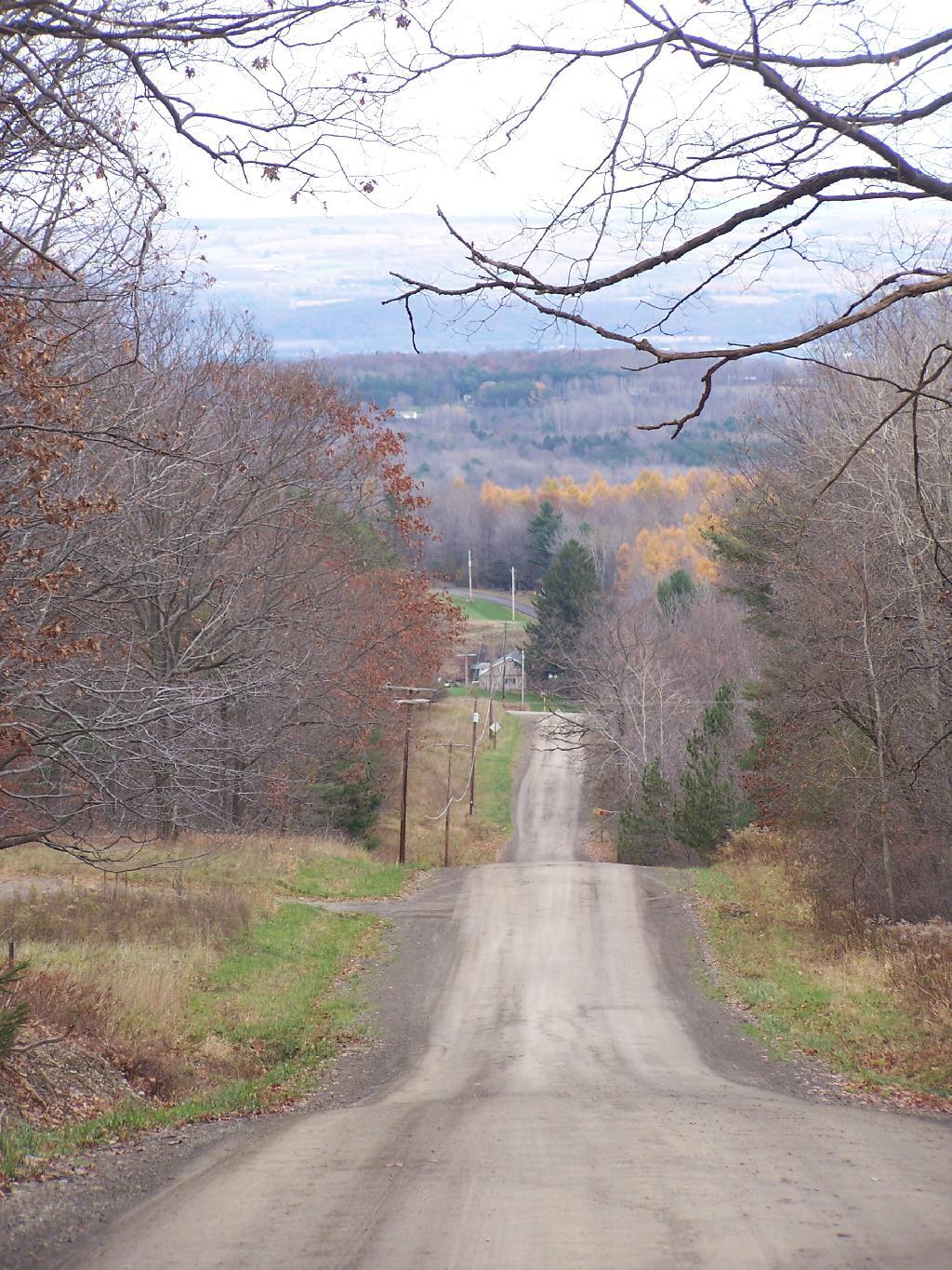
On the Sunday night driving down to Pennsylvania, there was nobody else around but a bow hunter I saw in the morning. On Friday night, there where a lot of horse owners, because the Upper Assembly-area was closed for the winter. I drove around, hoping to visit the fire tower a top the Assembly area. Unfortunately, it was closed for the year. I did get some interesting shots from Tower Hill Road, heading up there, looking down at Seneca Lake.

Tower Hill Road

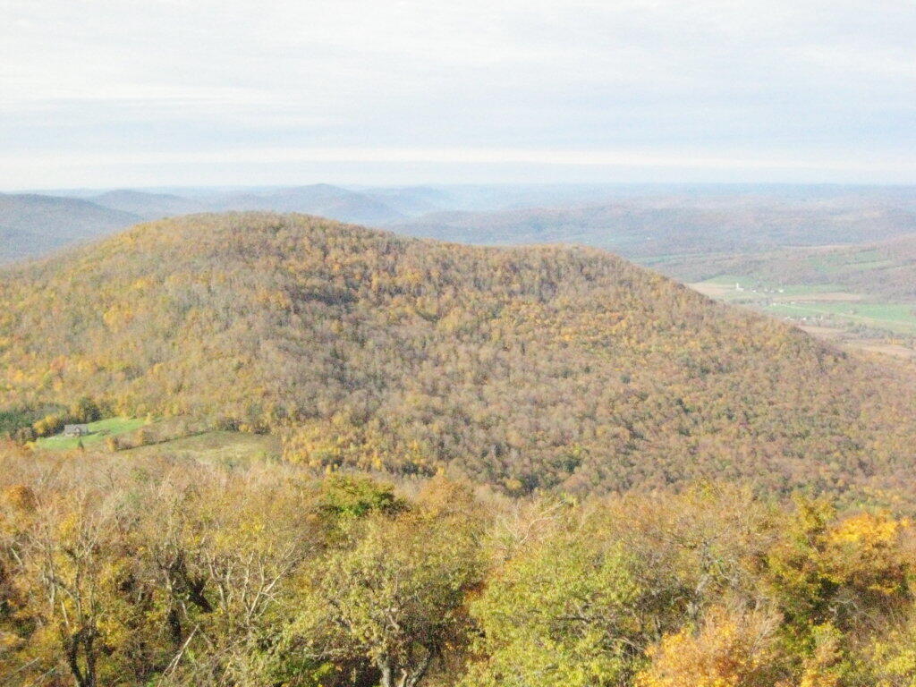
On the other side of the ridge from Tower Hill Road, you can see Keuka Lake. It looks a lot different this time of year then in other times of year. I do wish I could have seen it from the fire tower, although I guess the fire tower has limited views due to trees growing up. I could have hiked up to the tower, but it’s a ways back, with the road gated off.

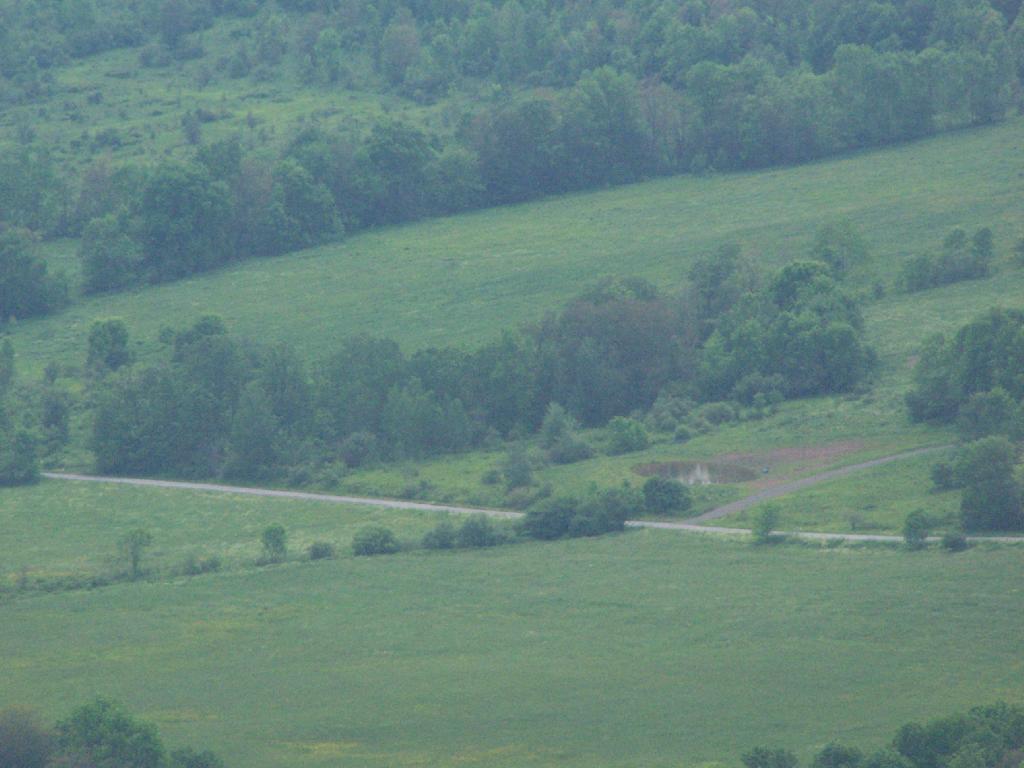
Valley

Next I drove down to Birdseye Hollow State Forest / Sanford Lake. Got lost. I know this time of year you don’t need camping permits for it, but it looked it was only tent sites. Things where pretty grown up, and it was getting late. I ended up driving back up the hill, to Sugar Hill, and settling in at the Lower Assembly area. On Sunday night, all the horse campers had packed up and gone back home.

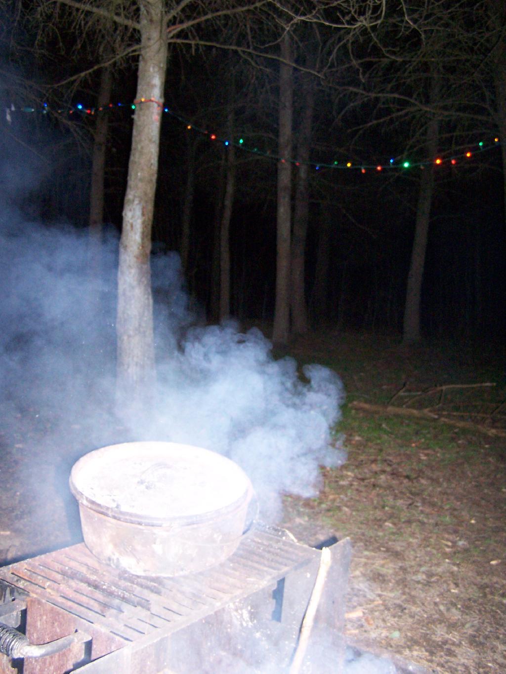
I proceeded to make baked zita in the dutch oven, over a warm open fire. Somebody had left firewood from the previous weekend, and there was ample dead and down wood nearby in the forest, so I really nice warm fire.

Cooking Dinner

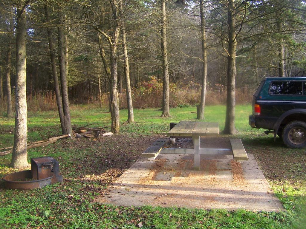
I like the campsites down at Sugar Hill, although I wish they offered more privacy. Yet, I guess that’s not how Assembly areas work at horse camps. That said, on a Sunday evening, there was nobody else around. It was a bit more crowded the following Friday, for my return trip. It was a nice night, and great meal.

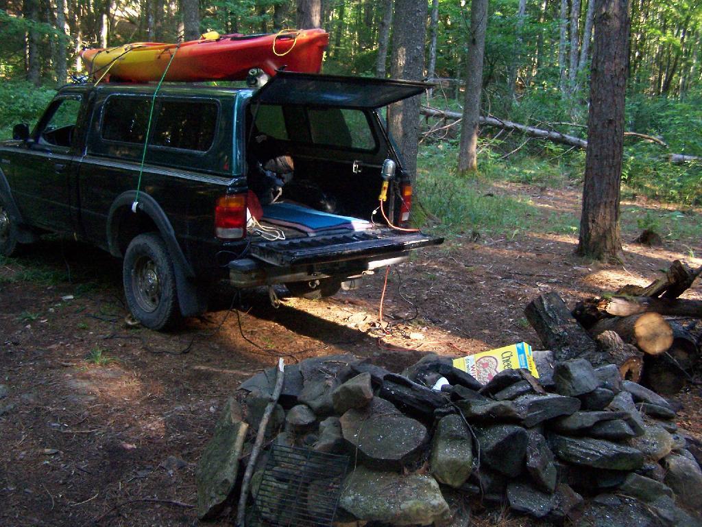
Campsite

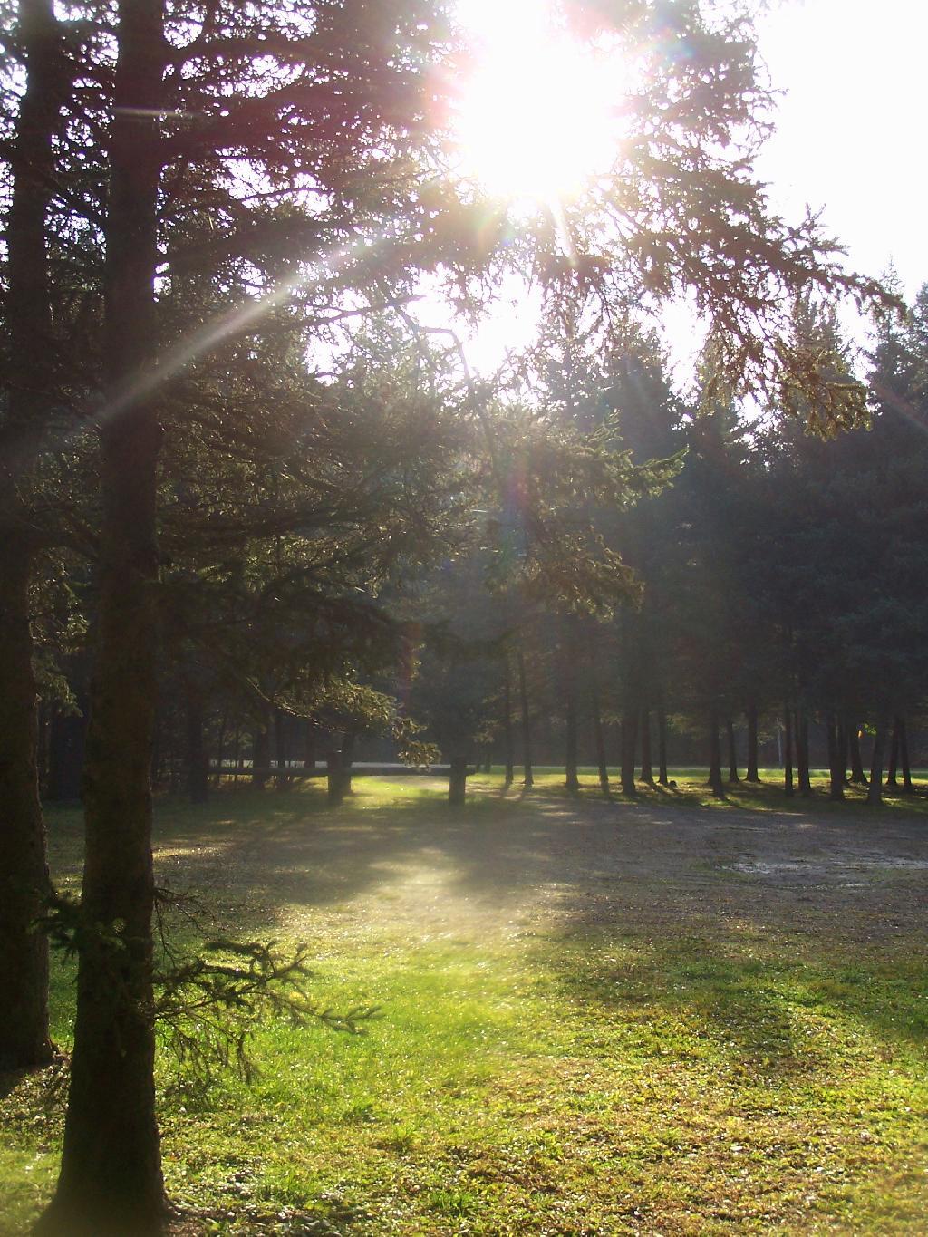
Morning unfortunately came early, with the change of day light savings time, and it was dark when I set my alarm clock for 6:30 AM. Yet I knew I had a big day ahead, driving down to Pennsylvania, so I was before dawn. But eventually the sun rose over the pines of the Lower Assembly day, and it was a beautiful morning.

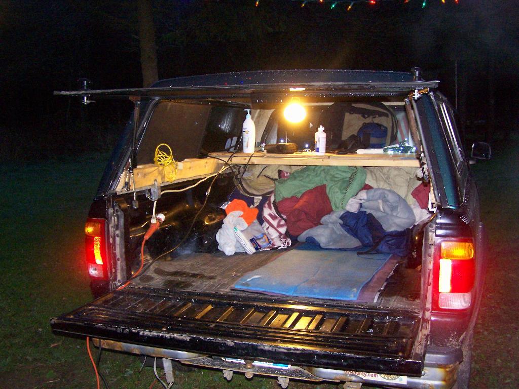
Camping Set Up

Sunrise

I packed up my gear, headed across a muddy truck trail to get packed up, took kind of a bath using a tea-kettle with hot water, and I was on my way to Pennsylvania. The camera lens kind of was fogged up from the cold.

Old Canal Warehouse in Chittenango  [Expires November 19 2023]

Campsite

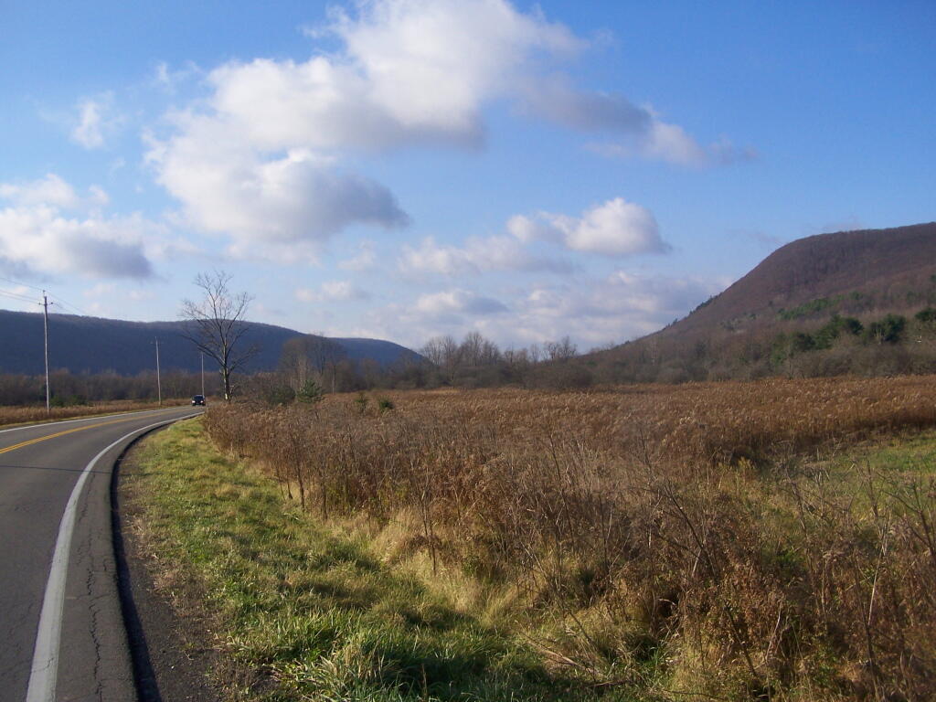
The drive to Pennsylvania was spectular, especially just South of Sugar Hill in Coon Hollow (really a wide valley), with beautiful farms lining the road, and tall mountains surrounding it.

Coon Hollow

As a side note, I also stayed here on Friday, November 12. There where a lot of equestrians that where using the area by around 9 PM, with lots of horse trailers. Many came late. This Lower Assembly area doesn’t get much use in the summer, compared to the Upper Assembly area, but this time of year with the Upper Assembly area closed, many where down here for the weekend. Weekdays, you’ll probably be alone camping here — especially in the winter.

Here is a map of Sugar Hill.
Love this view of Cornplanter Bridge

Camping at Betty Brook, Aug 26

The Betty Brook Campsite remains one of my favorite in NY State, especially because it’s a quick hour drive from downtown Albany out there, over the Thruway and the Warren Andersen Expressway. It almost never disappoints, and it was a great night.

Beautiful Saturday Morning

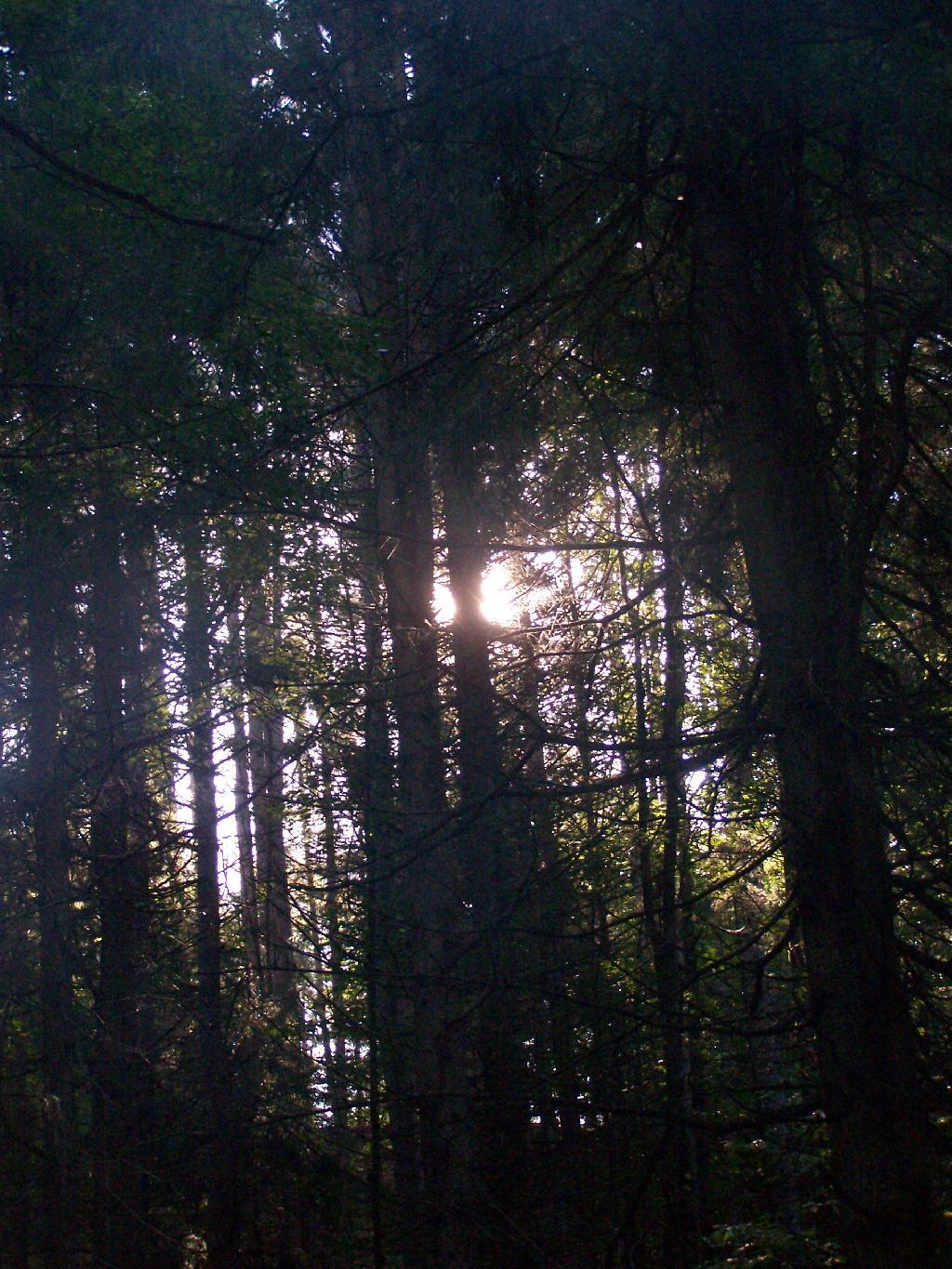
Morning Sun. The valley being so deep around Betty Brook the sun sets early, and rises late this time of year. Looking at the sun through the trees, a little after 9 AM.

Morning Sun

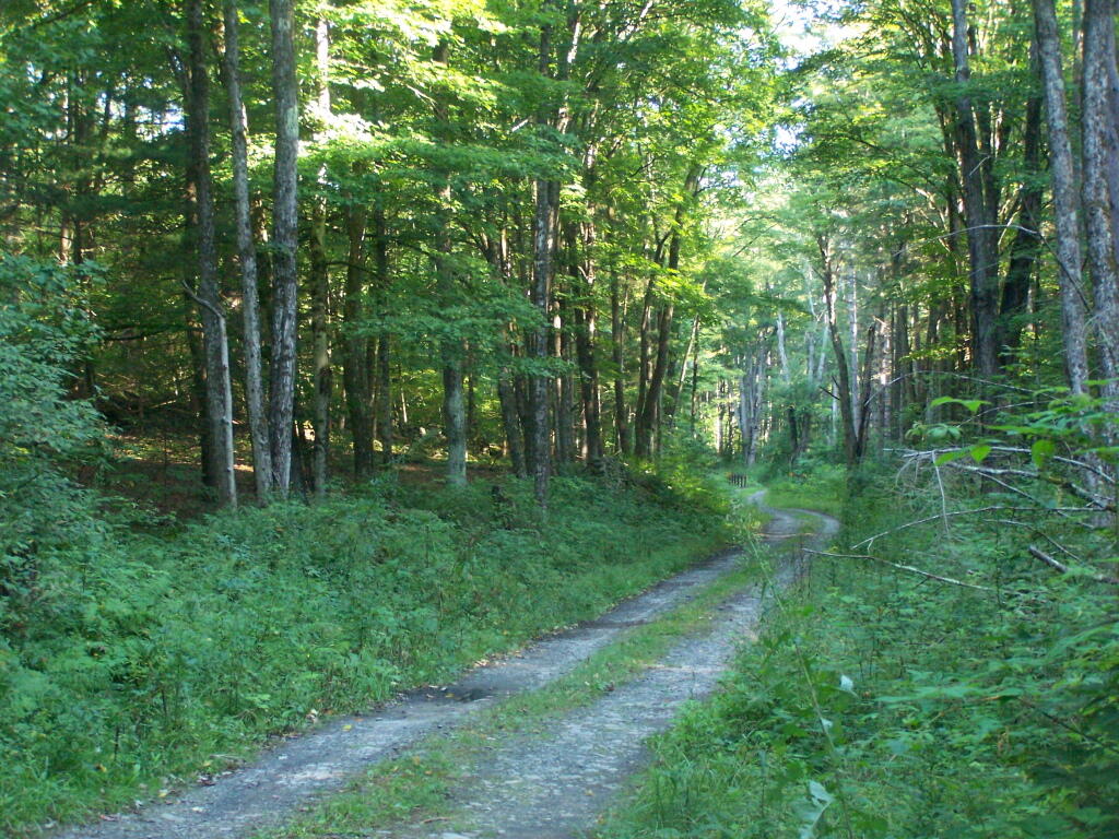
Betty Brook Road. Just looking at this road brings me home, back to my favorite camping area.

Betty Brook Road

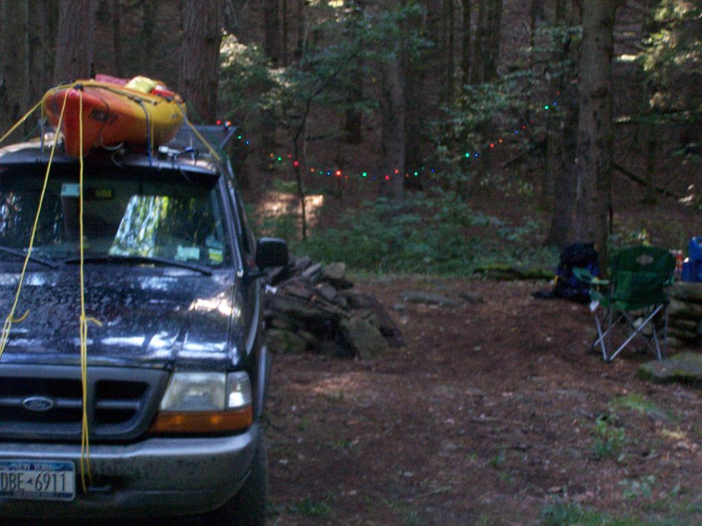
The Campsite. And yes, I of course have my trademark Christmas lights that I always use for ambiance.

The Campsite

Betty Brook Site All Cleaned Up

I headed from here, in my truck, up to explore the Mallet Pond State Forest-area just to the north. I probably will camp up at Rossman Pond the next time I am here, because the pond is so pretty and I can paddle around with my kayak there.

Sun Altitude from Horizon

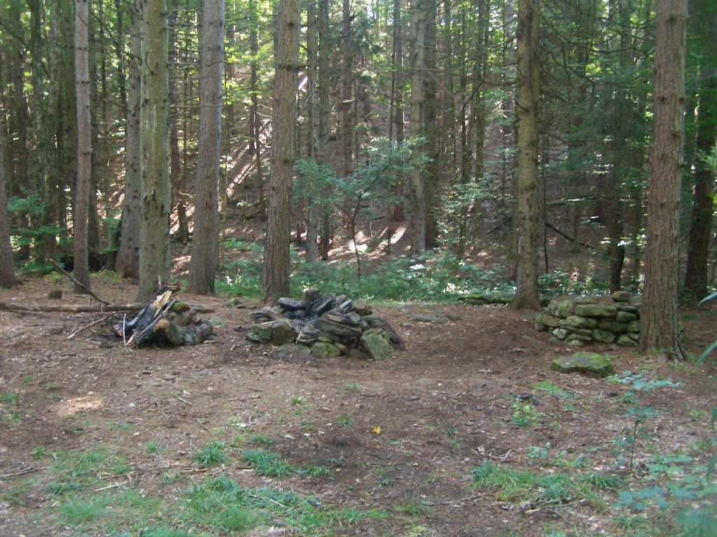
Here is a map of the Betty Brook Campsites. There is a larger one to the south, but I generally prefer the one to the north, as its smaller and the firepit and stone table is much nicer.


View Hiking in 2009 in a larger map

11 Fire Towers I Visted In 2009, Part 2

This past year I have spent a great deal of time hiking up mountains and visiting fire towers. Here are pictures of the second five fire towers I visited this year, along with a short description and maps in the second part of this series.

Make sure to all check out Eleven Fire Towers I’ve Visited This Year, Part 1 featured on Monday, November 16, 2009.

June 29, 2009 & June 30, 2009:
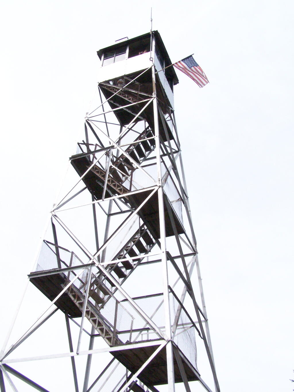
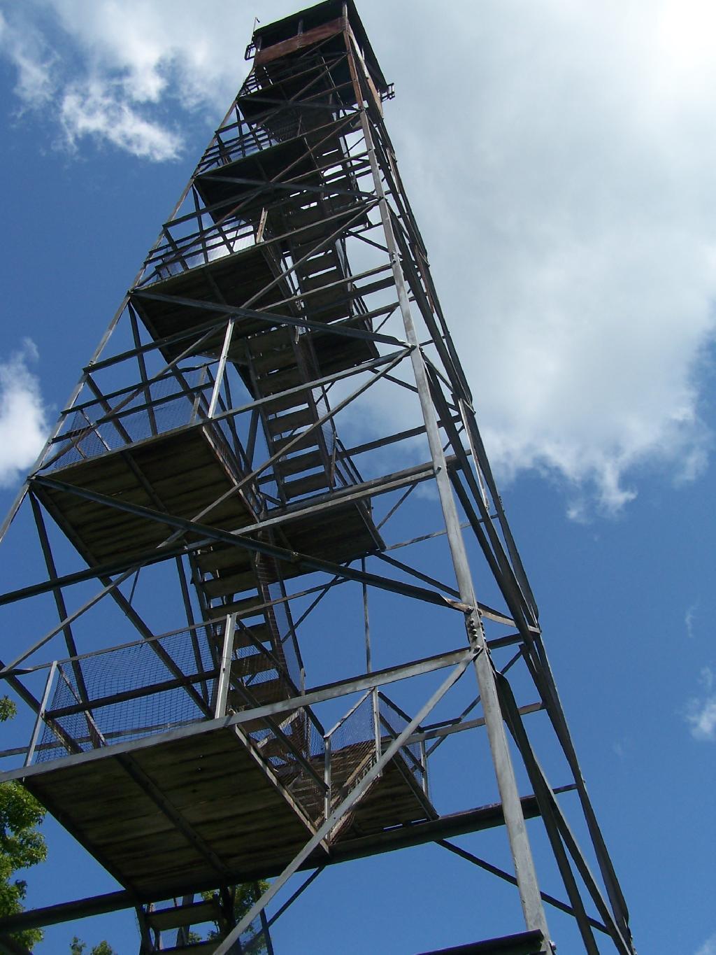
Sugar Hill Fire Tower

The Sixth Tower I visited, was Sugar Hill State Forest / Horse Camp is located outside of Watkins Glen. It’s an equestrian facility with 50 miles of trail, along with a small hiking/no horses area. They have free camping, and 3 equestrian lean-tos and one hiker lean-to on the Finger Lakes Trail. A definitely cool place to visit if your in the Finger Lakes.

Information and Pictures from my visit to Sugar Hill State Horse Camp.

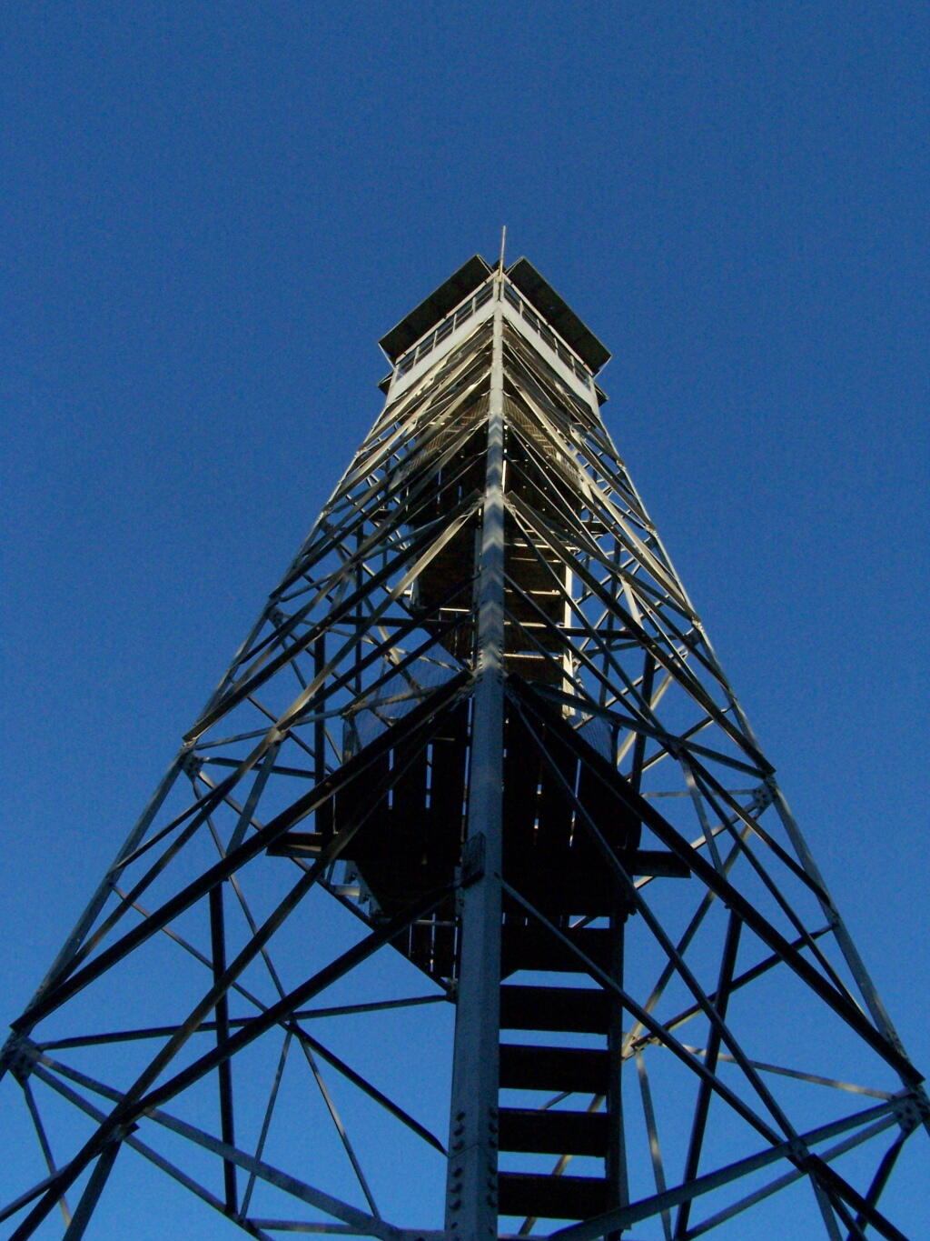
Firetower

Six Nations Horse Camp


View Hikes of 2009 in a larger map

July 11, 2009:
Red Hill Fire Tower

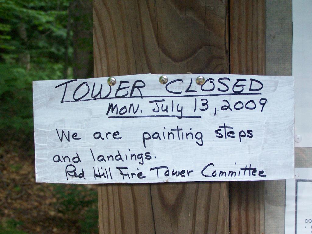
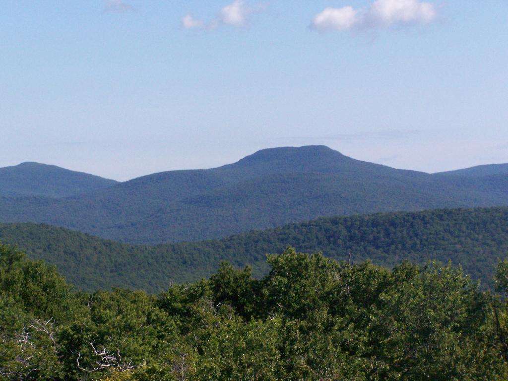
The seventh tower I visited, Red Hill Fire Tower is located south west of the Catskills, barely in the park, with views of the south-western Catskills, the High Peaks, and down towards the Delaware River in Pennsylvania.

Information and Pictures from my hike up Red Hill.

Tower Closed

Doubletop Mountain


View Hikes of 2009 in a larger map

August 8, 2009:
Balsam Lake Fire Tower

The Eightieth Tower I visited, was Balsam Lake Fire Tower is located in about 10 miles south east of Margretville in a very rural portion of the Catskill Mountains. It is the only tower in the Catskills actively staffed by DEC Fire Rangers on weekend (mostly acting as guides).

Information and Pictures from my hike up Balsam Lake Mountain.

Balsam Lake Firetower

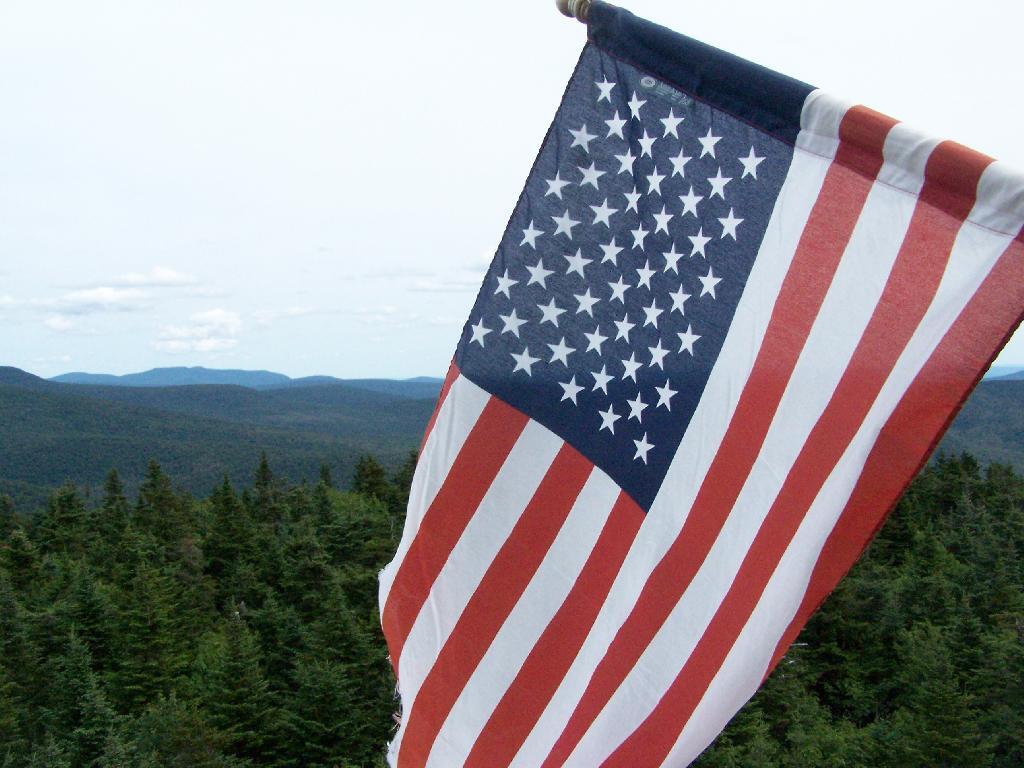
Flag on Tower


View Hikes of 2009 in a larger map

August 7, 2009 & October 10, 2009:
Leonard Hill Fire Tower

The Nineth Tower, Leonard Hill Fire Tower is currently inaccessible, pending renovation. They have removed the bottom to flight of stairs to discourage people from climbing the tower. That said, the DEC Forest Ranger has cleared out a camp site/viewing area directly to the west of the Tower for those who want to enjoy the amazing view due west of the Western Catskills and Upper Schoharie Valley.

Information and Pictures from my trips to Leonard Hill.

The Tower

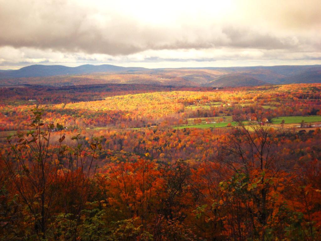
Clouds Over a Fall Landscape


View Hikes of 2009 in a larger map

October 11, 2009 & October 12, 2009:
Mount Utsayantha Fire Tower

Mout Utsayantha was the Tenth Tower I visited. This fire tower is on a public village park, above Stamford, NY. You can drive right up to it — I visted it twice one weekend. It gives you amazing views of the western Catskills, the area around Summit and Emmenece State Forest, the Upper Schoharie Valley, and on clear days out towards Oneonta.

Information and Pictures from my trips to Mount Utsayantha.

Tower Mountain Road

Colorful Hill


View Hikes of 2009 in a larger map

November 8, 2009:
Stissing Fire Tower

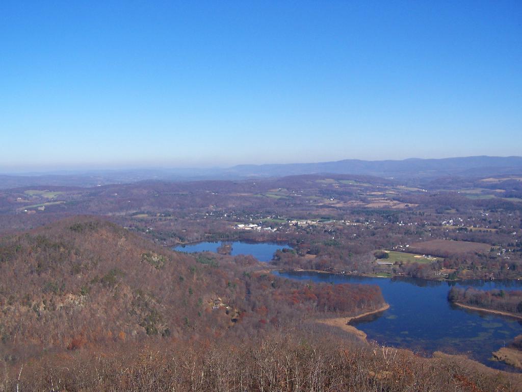
The Eleventh Tower: Rising 1,000 feet above the low lands of Pine Plains, this firetower gives you beautiful views of small towns, lakes, farmlands, mountains, and a five state region of the Hudson Valley on clear day.

Information and Pictures from my hike up Stissing Mountain.

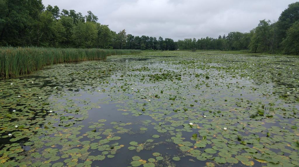
Wetlands

Towards Vermont


View Hikes of 2009 in a larger map

April – June:
The First Five Towers.

If you like this, then make sure to see the next five on Eleven Fire Towers I’ve Visited This Year, Part 1.

The Scale of New York

Notes on the Re-Run for Wednesday, April 25th.

— Andy

I was wondering how big the New York City-metro area is compared to other regions in our state. What does New York City-metro area look like compared to Albany County, the Plattsburgh and North Country-area, and the Ithaca-Watkins Glen Finger Lakes-area?

All of these maps are exactly the same scale, 75 pixels per 5 miles of real land below it. You can visually compare the size with these maps, and look at urban density and farm uses, via the color of the land below. It will not display in the RSS feed or Facebook, so view at andyarthur.org.

New York City-Metro Area.

This map includes part of Westchester County and Nassau County, but gives you an idea of the size of the metropolitan area that is most associated with what people think of when they think of NYC. Not all of this area is highly urbanized, much of the surrounding area that appears with higher levels of green is suburbs.

Albany County (Albany & Schenectady).

As you can see the New York City metro area would cover all of Albany County, plus significant portions of Northern Greene and Eastern Schoharie County. You could easily fit Albany and Schenectady within the borders of New York City, along with surrounding suburbs. NYC is not only populous, it’s also fairly big.

Clinton County (Plattsburgh).

Clinton County is much larger and rural then Albany County and New York City. There is relatively less of Essex and Franklin County in this map then there is Westchester and Nassau County in the NYC-metro map. Even Albany County appears small compared to Clinton County. Notice the darkness of the highly-forested Adirondack Park, and the light green of the fertile Champlain Valley farmlands.

Ithaca and Watkins Glen.

This map shows Ithaca and Watkins Glen. You can see the public forest lands and pastures of the Finger Lakes National Forest, Sugar Hill State Forest, Ithaca, and Watkins Glen. You go into the Allegany Mountains in the south and in the north the sloped landscape that is the norm of the Finger Lakes.

Alander Mountain

Alander Mountain is the highest point in Columbia County. I chose to access the mountain from Mt Washington State Reservation Park Headquarters in Massachussets. You can also visit there from New York State in several other directions, although the elevation increase is substantial.

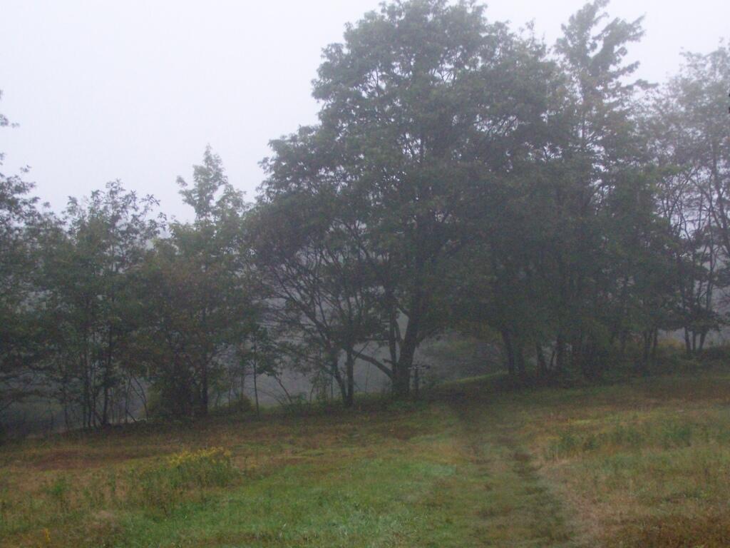
While it was clearing when I left Albany around 7 AM, when I got out to Mt Washington State Forest, it was a misty-rain mix. I left my raincoat home, but fortunately it was more damp then heavy rain.

Rain

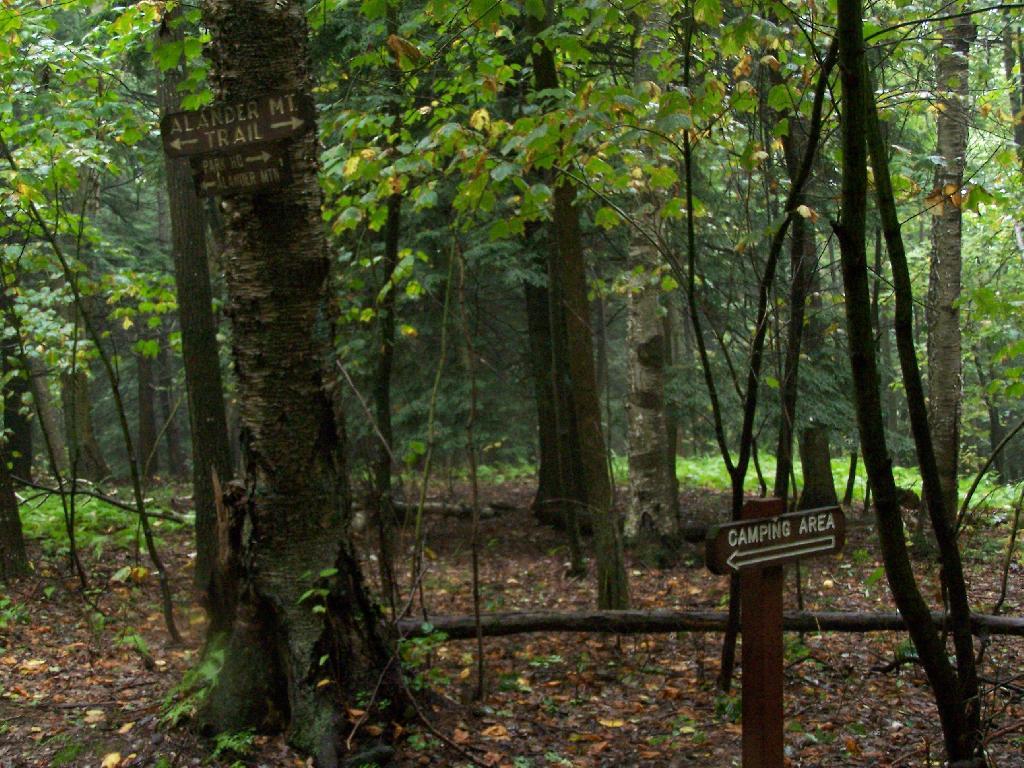
They do not allow casual primitive camping in the Mt Washington State Forest. That said, 1 1/2 miles up the trail there is two or three sites for primitive camping. Nobody was up there on the rainy days.

Sign to Camping Area

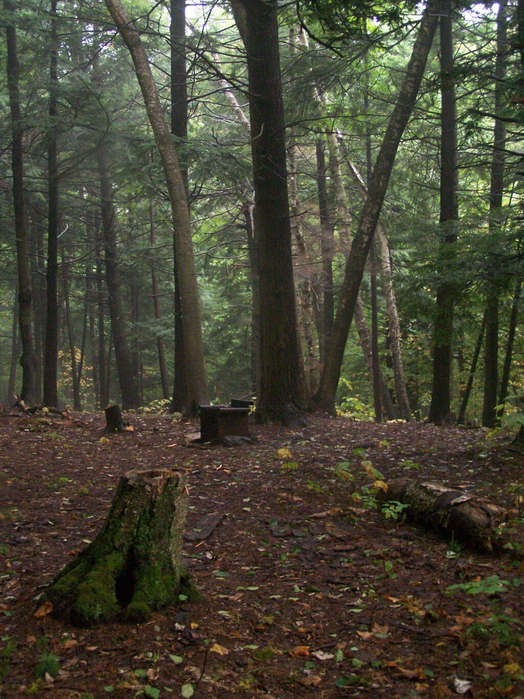
Primative Campsite No 1. Somebody left some cords up along with basic cooking things and water bottle, along with a nicely built up fire pit.

Campsite No. 2

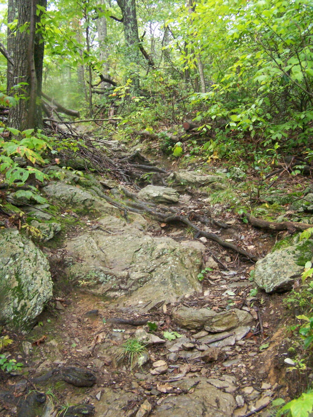
The trail got steeper as I continue up the mountain, and at the same time got clearer and nicer out.

Clearing Out

When you arrive almost to the top of the mountain, there is a beautiful little cabin you can stay in for no charge. It appears to be fairly popular, but with 6 bunks and floor camping space. There was a fair bit of unburnable trash around — particularly liqour bottles, even though technically alcohol is prohibited in the state forest.

Regardless, it looked like a fine place to camp. There is a wood stove in the cabin so you can stay here in the winter. I didn’t look at the wood supply around, but it looks like that shouldn’t be a problem.

Alander Mountain

While there was no official camping allowed on the mountain, people where certainly camping up there, and there were places where one could get well off the trail, yet camp in an open area with minimum damage to the land.

Glad I bought firewood, it was nearly dusk when I set up

Once atop the mountain, it was still foggy and damp, but it was clearing out.

Watching Fog Burn Off

Mountains Fade Into Fog

As the morning progressed, the sky got progressively clearer.

Clearing Clouds

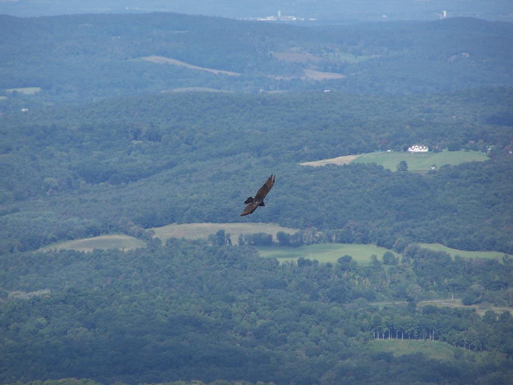
There was a Turkey Vulture flying over the landscape.

Turkey Vulture

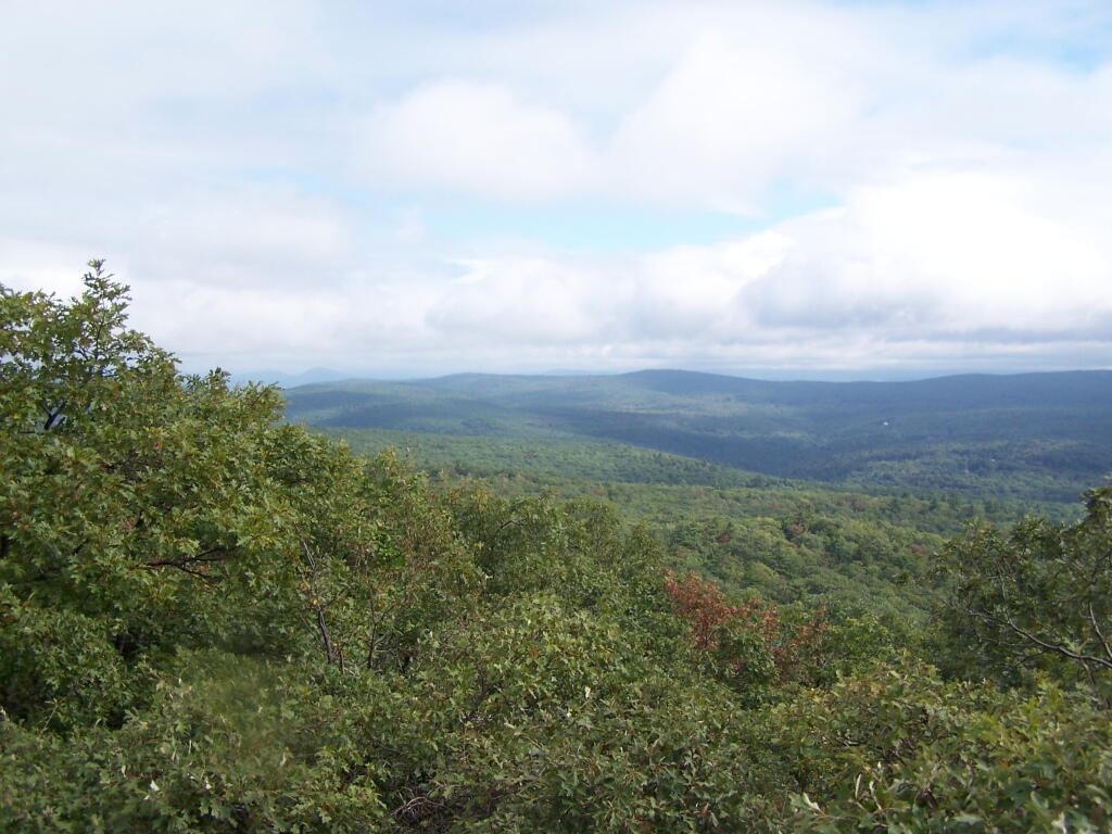
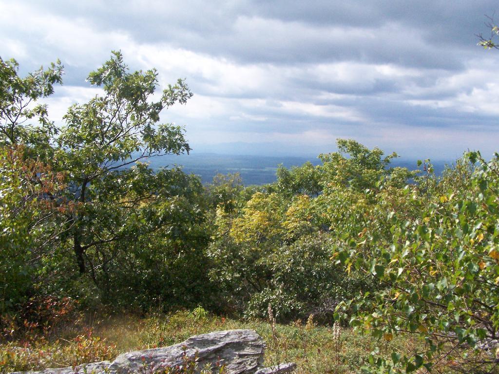
When it cleared out the views where beautiful, but with still quite a bit of haze remaining from the morning. I want to be up here one day in the fall when it is much clearer out. Maybe spend the night at the cabin, and enjoy the sunset and the leaves under the morning light.

Valley

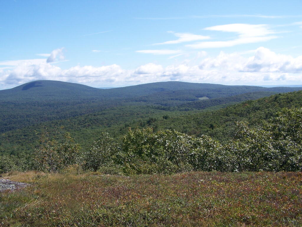
Brace Mountain and Ashley Hill as seen from Alander Mountain.

Brace Mountain

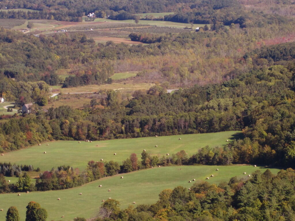
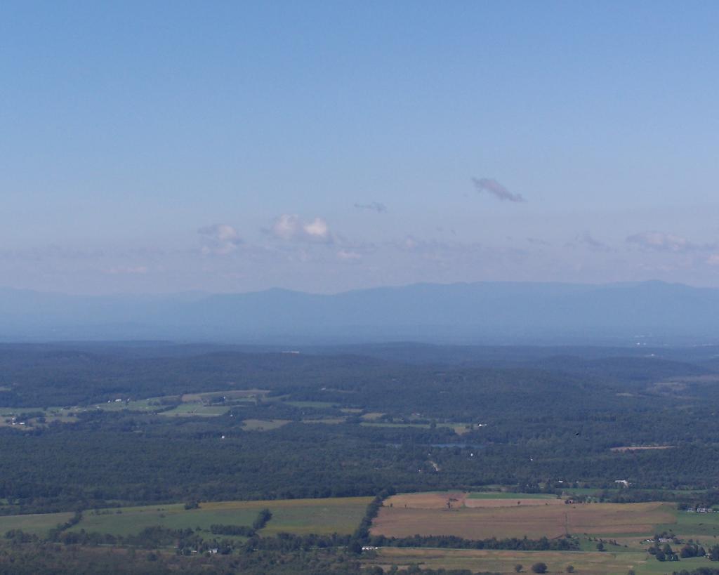
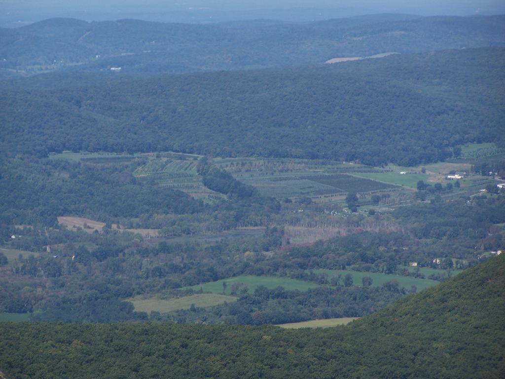
Farms and other uses throughout Copake Valley looking down towards Millerton.

Apple Orchards and Swamps. This is similar from the views from Sunset Point that I looked down from during a springtime hike.

Apple Orchards

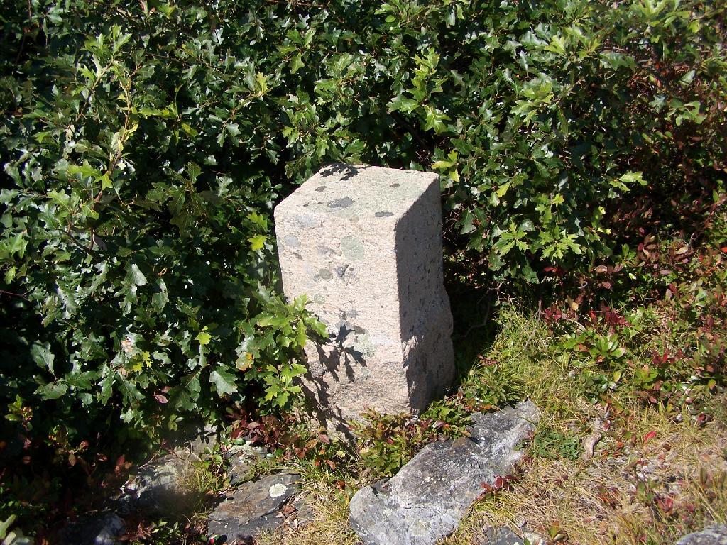
Alander Mountain is partially in Massachusetts and partially in New York. The peak is in Massachusetts.

State Line Marker

The lower unamed plateau I hiked along on the South Taconic trail. By 2:30 in the afternoon it started to look like rain once again.

Sure Looks Like Rain

Returning back to the truck, it still looked like rain. You can see Alander Mountain in the background, from the area near the Mt Washington forest headquarters.

Alander Mountain

This is a map of the route.


View Hikes of 2009 in a larger map