Sparkling Lilly Pads

Looking off Short Point. You can just barely make out the wind turbines up on Rand Hill/Pine Ridge to the west.
Sunday August 15, 2010 — Point Au Roche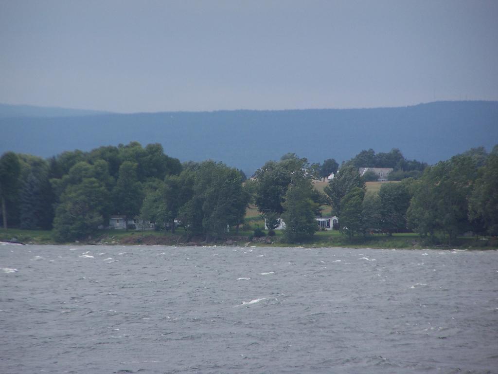


In the distance in Grand Isle Vermont.
Sunday August 15, 2010 — Point Au Roche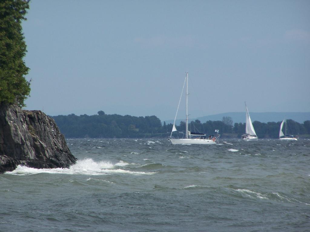
")