Green Mountain National Forest
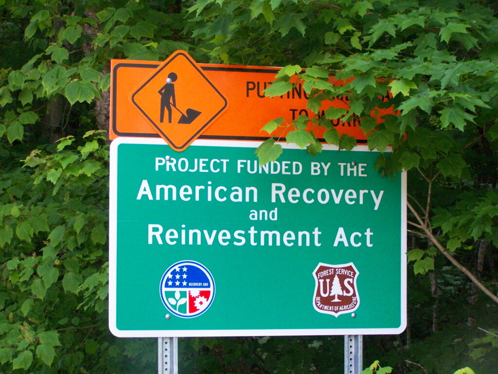
Forest Road 71 Reconstruction Sign
Funded by the ARRA Act according to the sign. The road was nice and smooth.
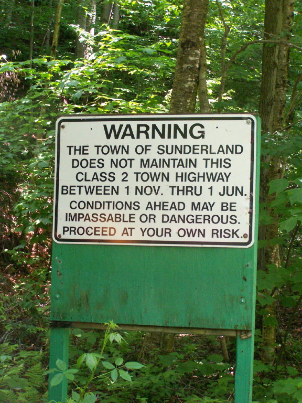
Taken on Saturday June 18, 2011 at Forest Road 71 - Somerset Airfield Rd.Seasonal Use Road
In other words, drive this in the winter if you want to die in the winter.
Taken on Saturday June 18, 2011 at Kelley Stand Road.Grout Pond
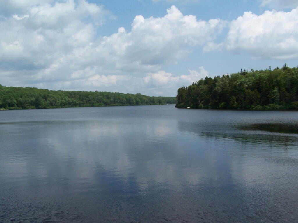
From the east, probably the best way to get to Grout Pond is via Kelley Stand Road, a twisty one lane dirt road that heads east out of East Arlington in Vermont. Pay careful attention to this map, it’s easy to get lost in East Arlington or East Kansas. I know I ended up at Covered Bridge in Chiselville the first time I got there.
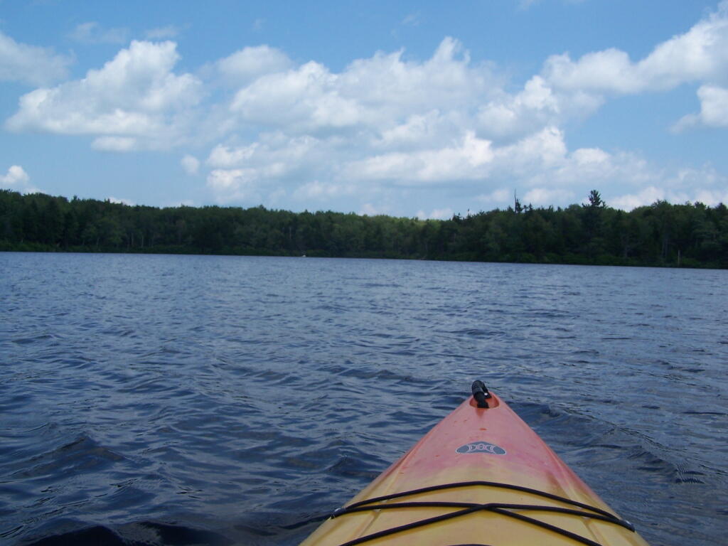
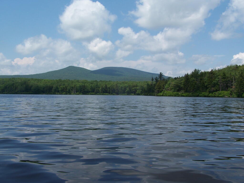
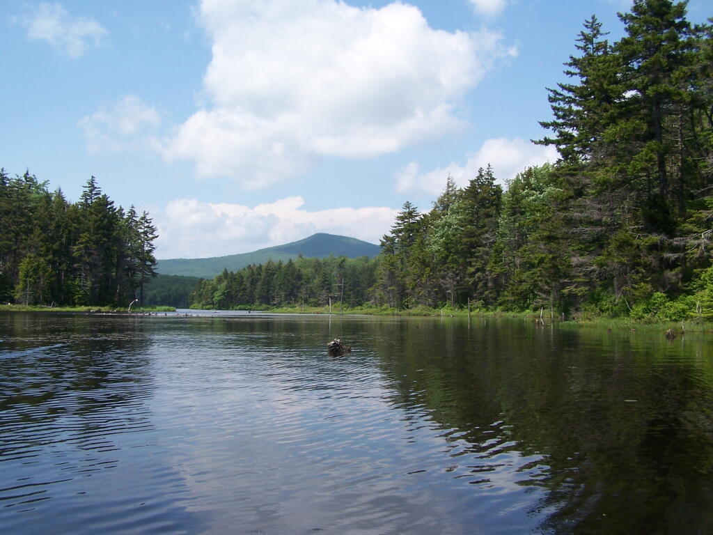
Grout pond isn’t the biggest in the world. If you want lots of open water, check out the Somerset Reservoir. This area, however offers either backpack-in camping along the east shore, or 25 drive-in campsites, in a primitive campground nearby. There is no charge to use this National Recreation Area. Other roadside campsites along Kelly Strand Road, FR 71, and FR 70. Forest Road 70’s campsites are particularly nice, and it’s a 1/4 mile portage down to Branch Pond (bring wheels).
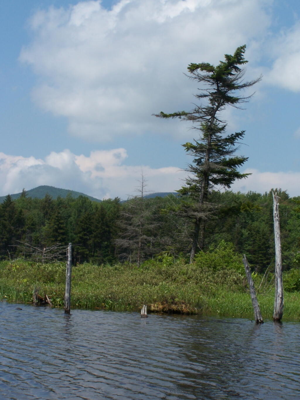
The lake is very shallow and marshy in one. Supposedly good fishing if you have a Vermont State Fishing License.
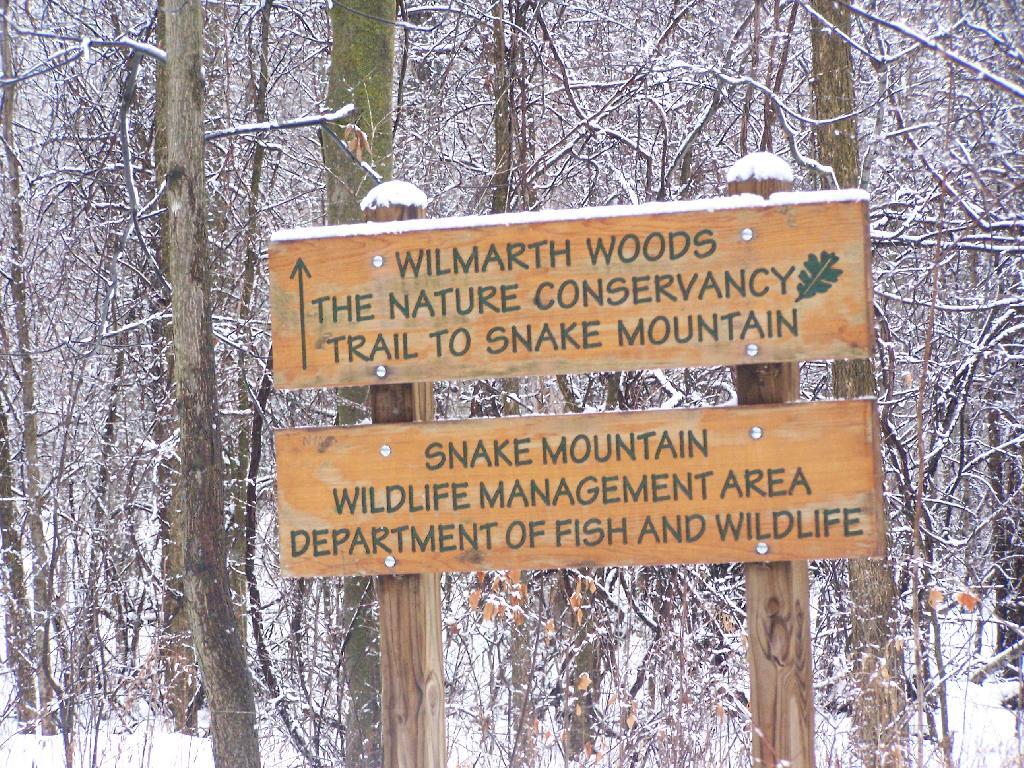
Snake Mountain in a Snowstorm
I was up in Addison, Vermont to watch the demolition of the Champlain Bridge and I figured while I was up there I would go for a hike in the afternoon to see some of the beautiful vistas of the Champlain Valley. I have only been hiking once before on the Vermont side of the lake, and never down in this part of the Champlain Valley.
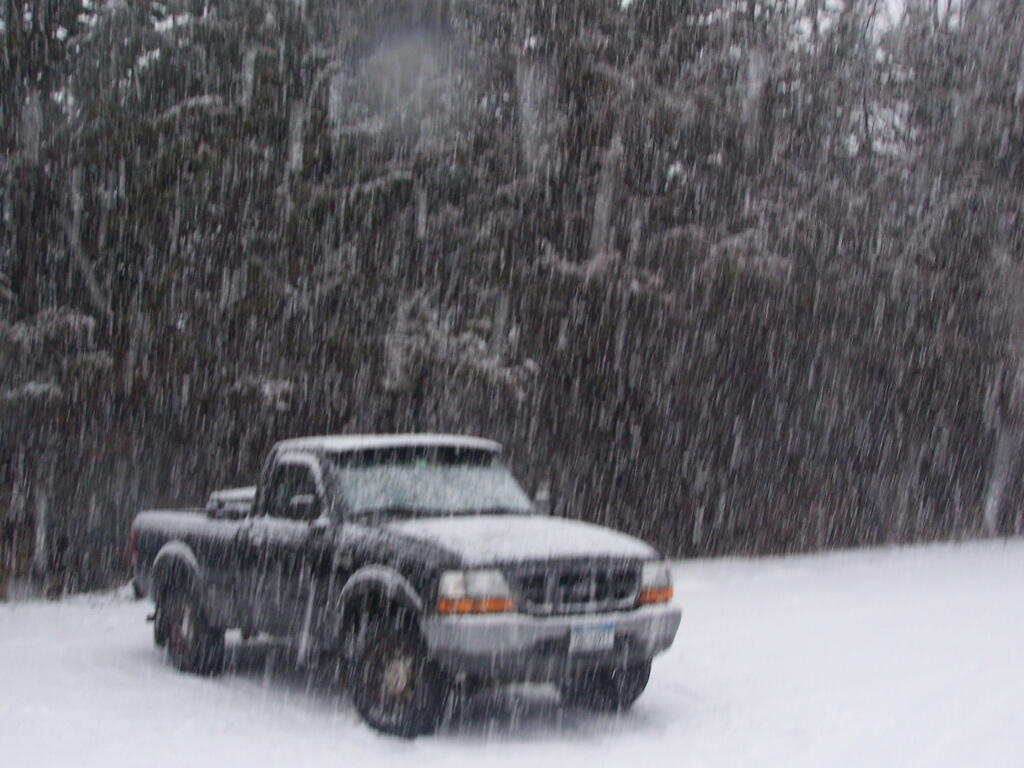
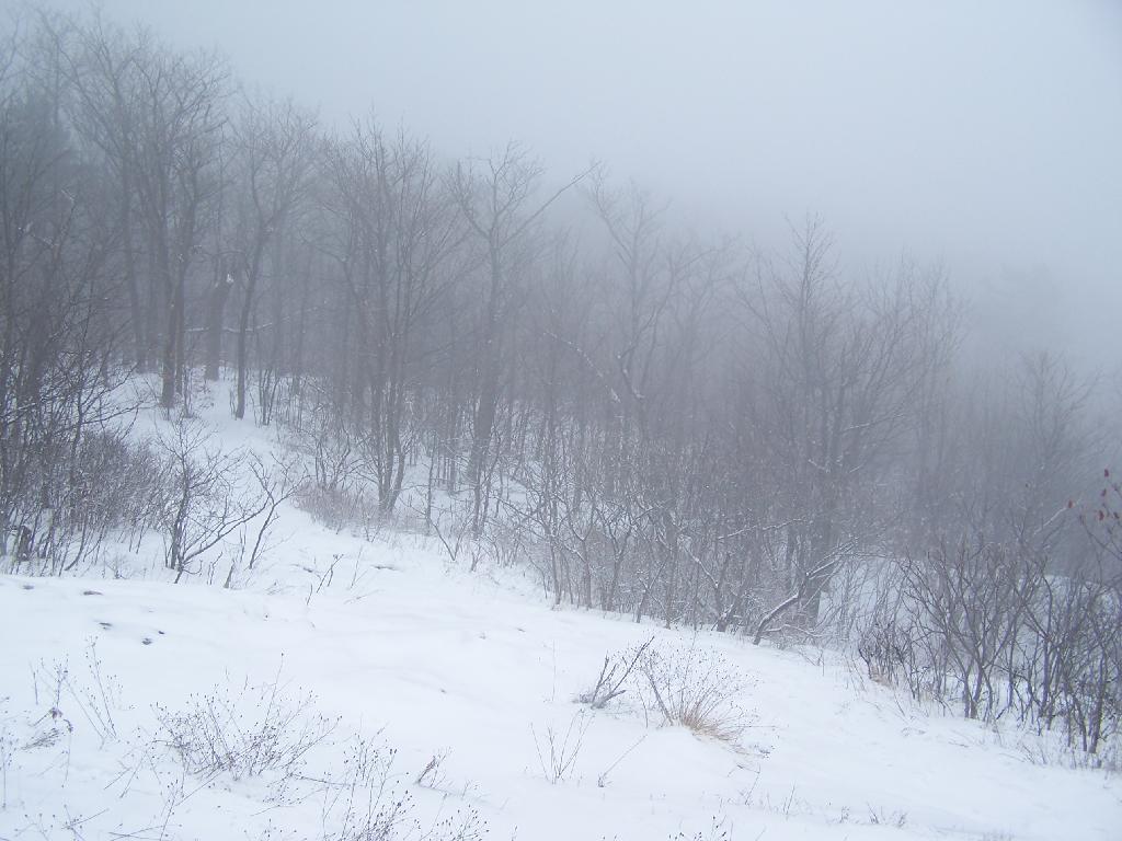
I really was hoping for a nice clear day with blue skies. What I got instead was heavy snow squalls and cold winds whipping along the mountain. I am sure things would have been quite beautiful if that was the conditions. Yet things where just a bit snowier throughout the day. This is what it looked like 3 PM when I was done hiking and reaching my truck to return back to Albany.
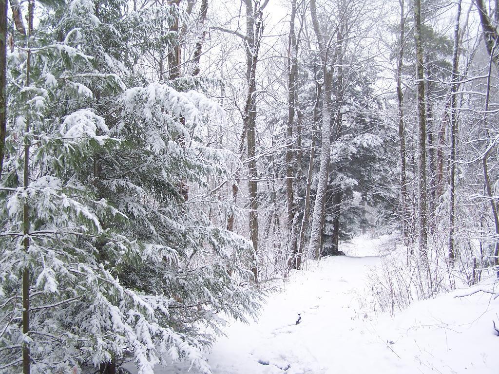
Regardless, it was a beautiful hike up the mountain with the trees being snow covered and the trail easy to follow. Everything looked so fresh from the morning’s snow, and the on-and-off sometimes very heavy snow throughout the day. As you can see, the trail is easily accessible on foot in the summertime, and in the winter by cross country skis or snowshoes.
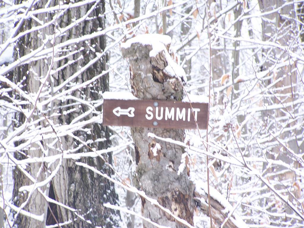
There are occasional trail markers up the mountain, including signs on turns for the Summit, but a few side trails so you will want to make sure you have a map. Fortunately, you can get one from Vermont DNR with on Snake Mountain WMA. One thing with that map is it doesn’t include a lot of the switchbacks, so you might think you have gotten off the trail even though you haven’t. For the most part, it’s not bad, as it’s an old woods road.
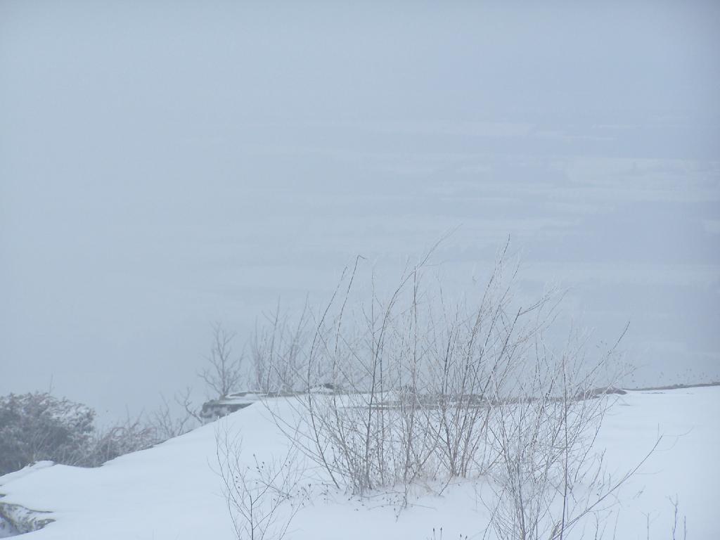
The view off the summit of Snake Mountain is one of the most remarkable ones (so I’ve been told on the Internet), but not a day when it’s snowing. You can see a little of the farm fields below when the snow let up a little bit, but it pretty much was a blind view. I was seriously disappointed, after driving up to Addison from Albany, NY and seeing neither the demolition of the bridge or off Snake Mountain from the snow.
At times walking around the Summit of Snake Mountain I couldn’t really tell if it was snowing as much as I was up in the clouds. It was cold and the wind was whipping around, and visibility was really poor.
It’s winter out, and it is snows in Vermont. The moral of the story is while hiking is delightful in fresh winter snows, it also means that visibility off the mountain really isn’t all that great.
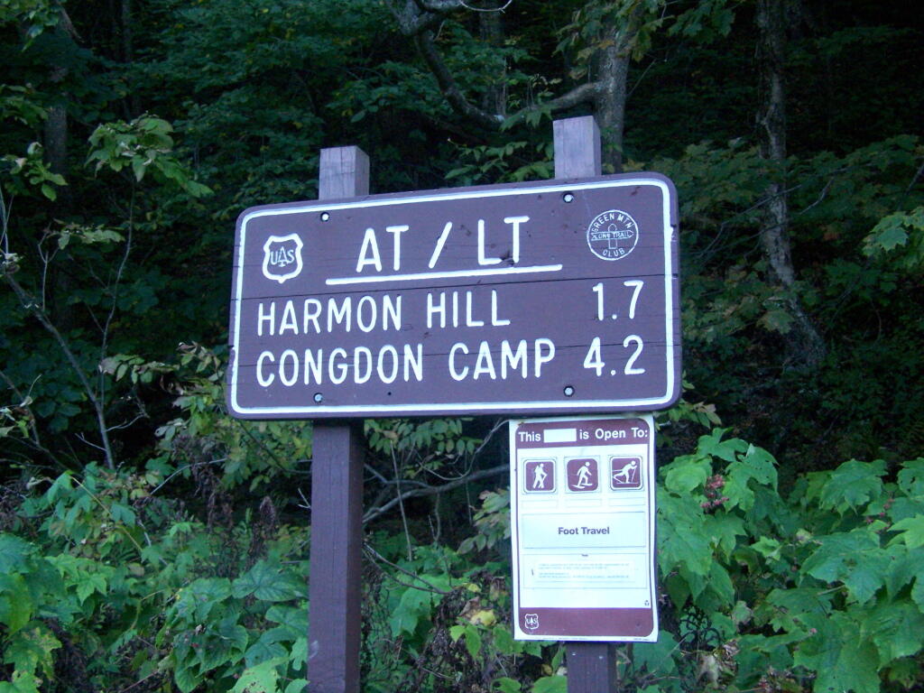
Harmon Mountain Sign
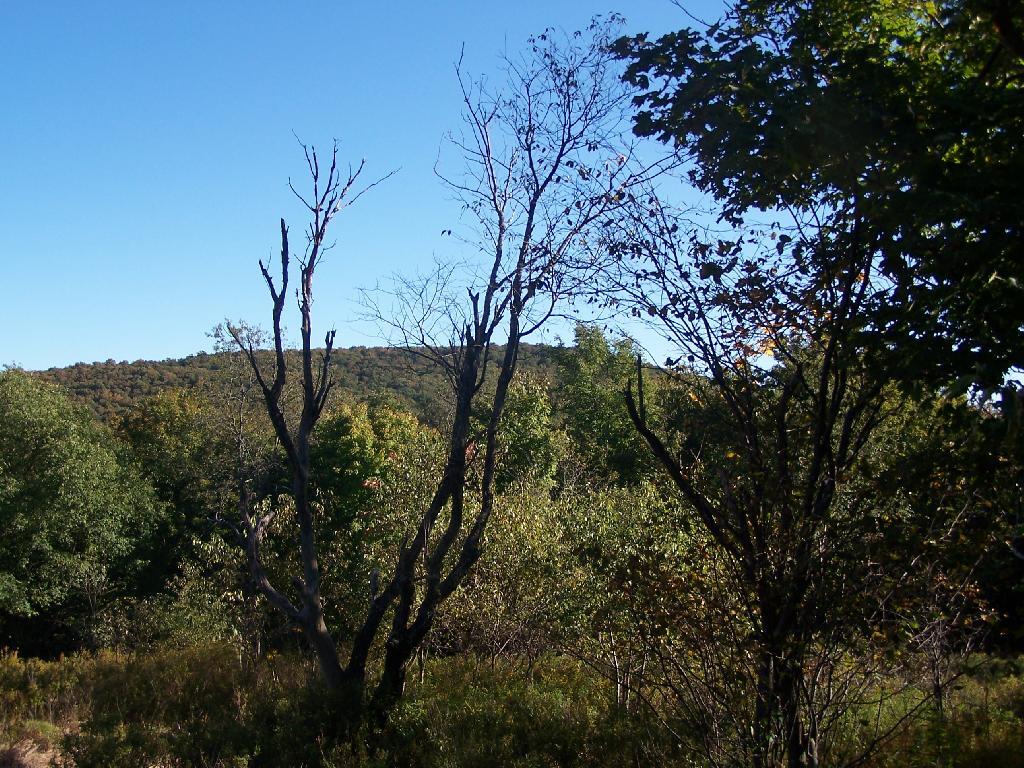
Second Peak of Harmon
I hiked up here, but it is a view less used section of the Long Trail.
Taken on Saturday September 19, 2009 at Harmon Hill.