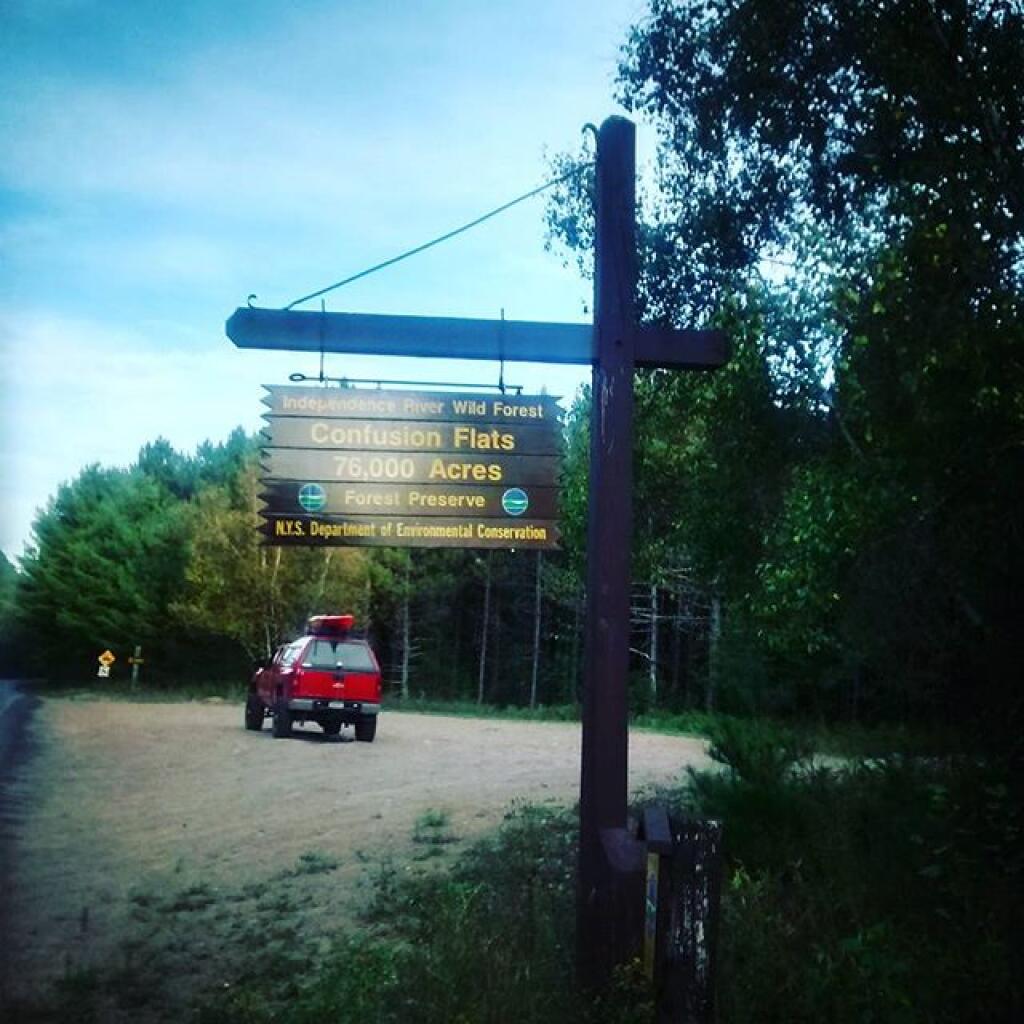
Part of Confusion Flats burned in 1930s. Conservation Department replaced with White Pine in Forever Wild Forest


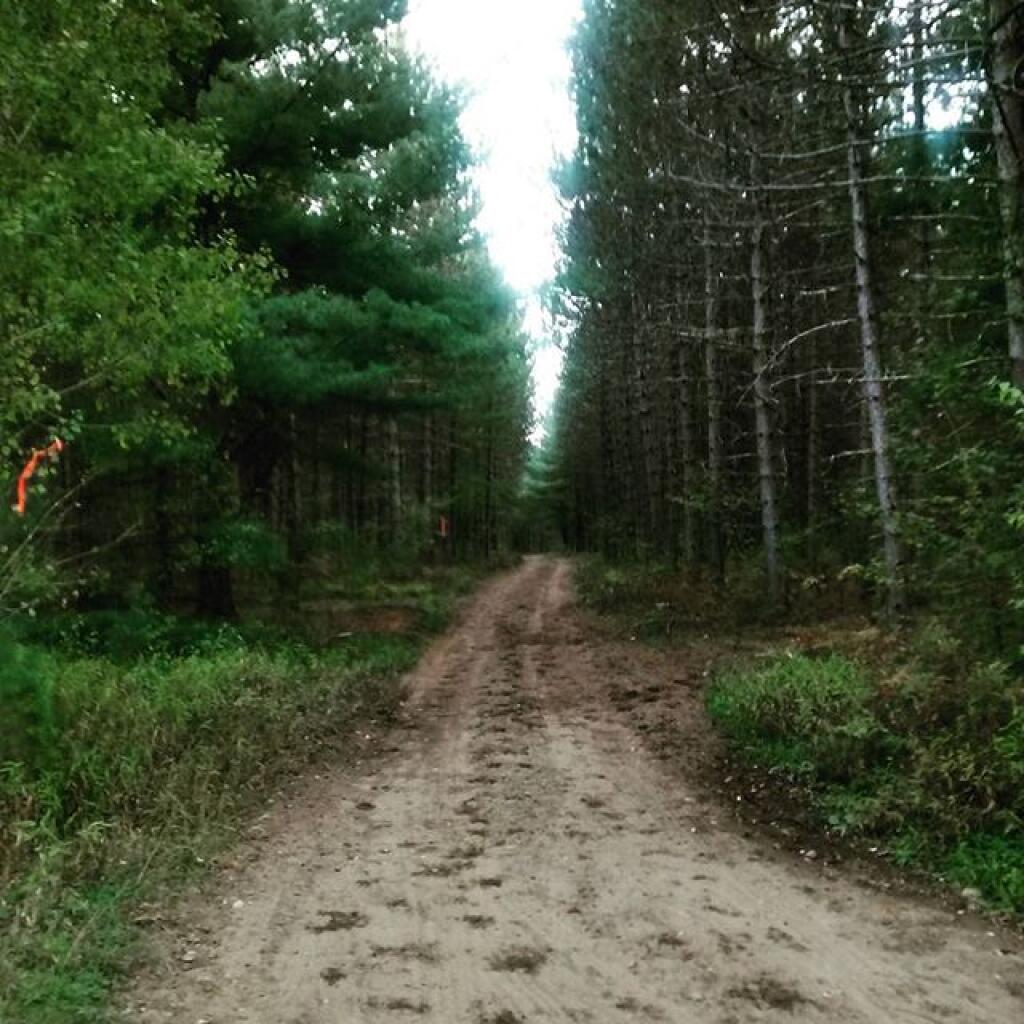
They make this truck trail easy enough to find.
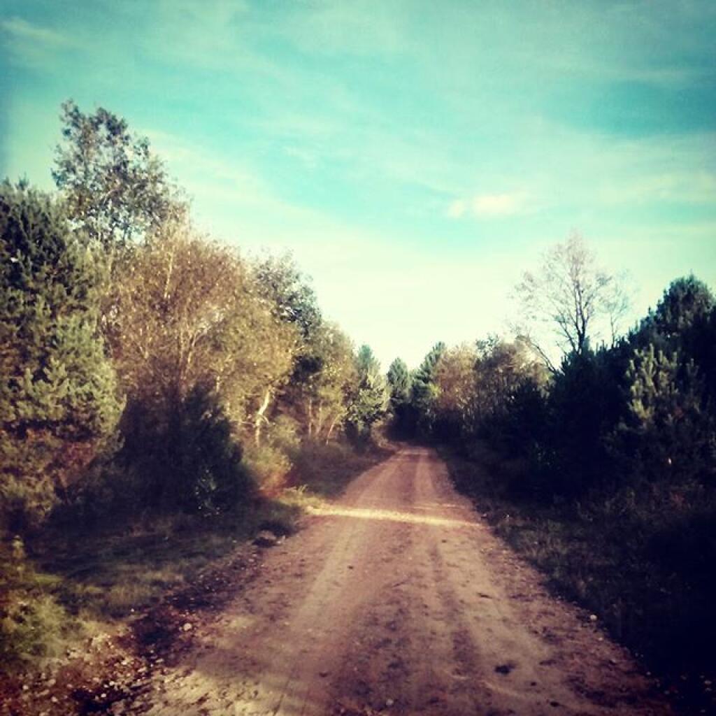
Thursday June 30, 2011 — Smith Road — Smith Road 🗺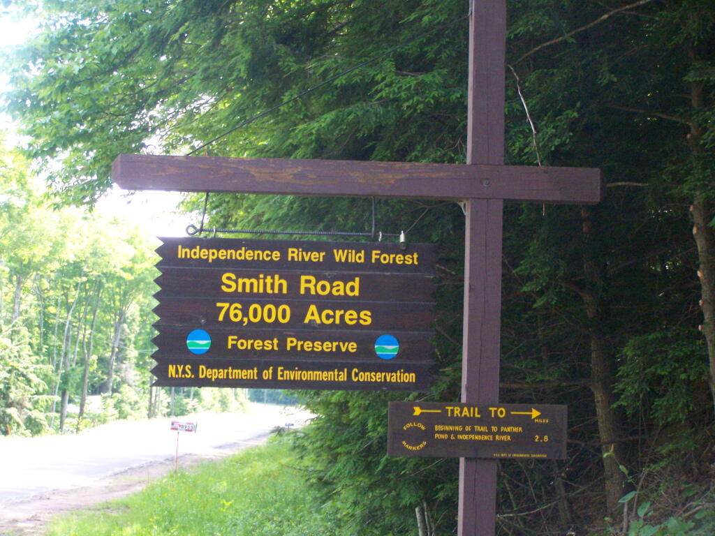

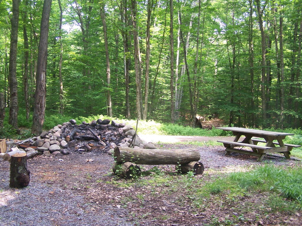
There are ten campsites also on Basket Factory Road. This one, the ADA site, is fully developed with a picnic table and outhouse.
Tuesday June 28, 2011 — Independence River — Basket Factory Road 🗺 — Big Otter Lake Road 🗺 — Confusion Flats 🗺 — Halfmoon Lake 🗺 — Moshier Reservior 🗺 — Pine Lake 🗺 — Sunday Lake 🗺