Burnt Knob 📍

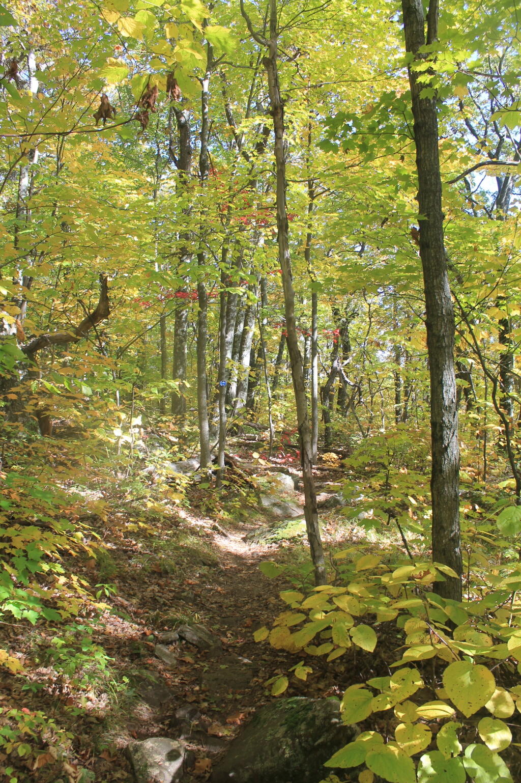
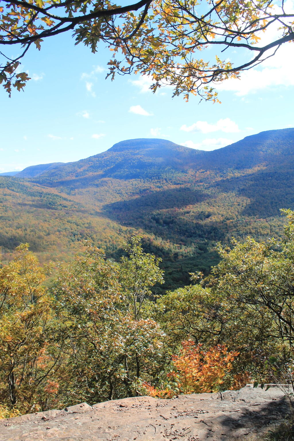
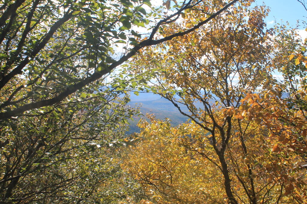
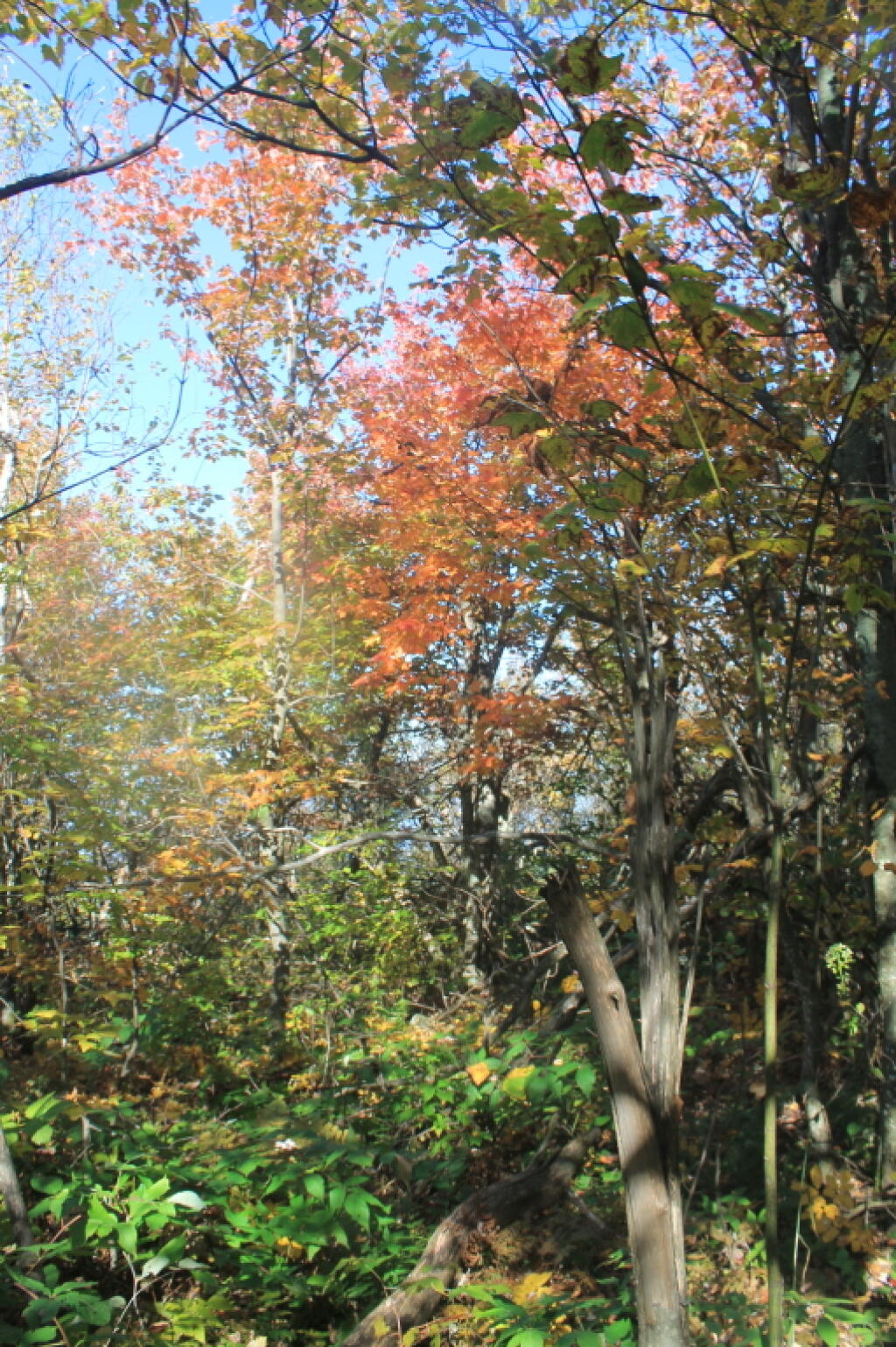
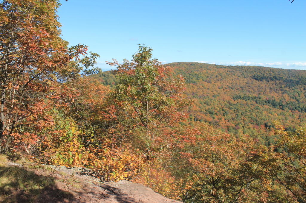
A 3,100 feet peak located between Windham High Peak and Acra Point (the blue trail aka Long Path crosses both), offers views of the Big Hollow, the Blackhead Mountains, along with limited views of Northeast of Catskill Mountains, including Greenville, the Hudson River, and Albany on a clear day.

http://www.catskillmountaineer.com/WB-WHPloop.html

🖼️ Photos
Map: Casey Road Campsite
Thematic Map: Pine Bush 1927
Map: Mountain House Trail and North Mountain
Map: Bald Mountain in Bennington
Map: Empire State Topography
Map: Green Mountain National Forest North
Thematic Map: Troy vs Manhattan - A Size Comparison