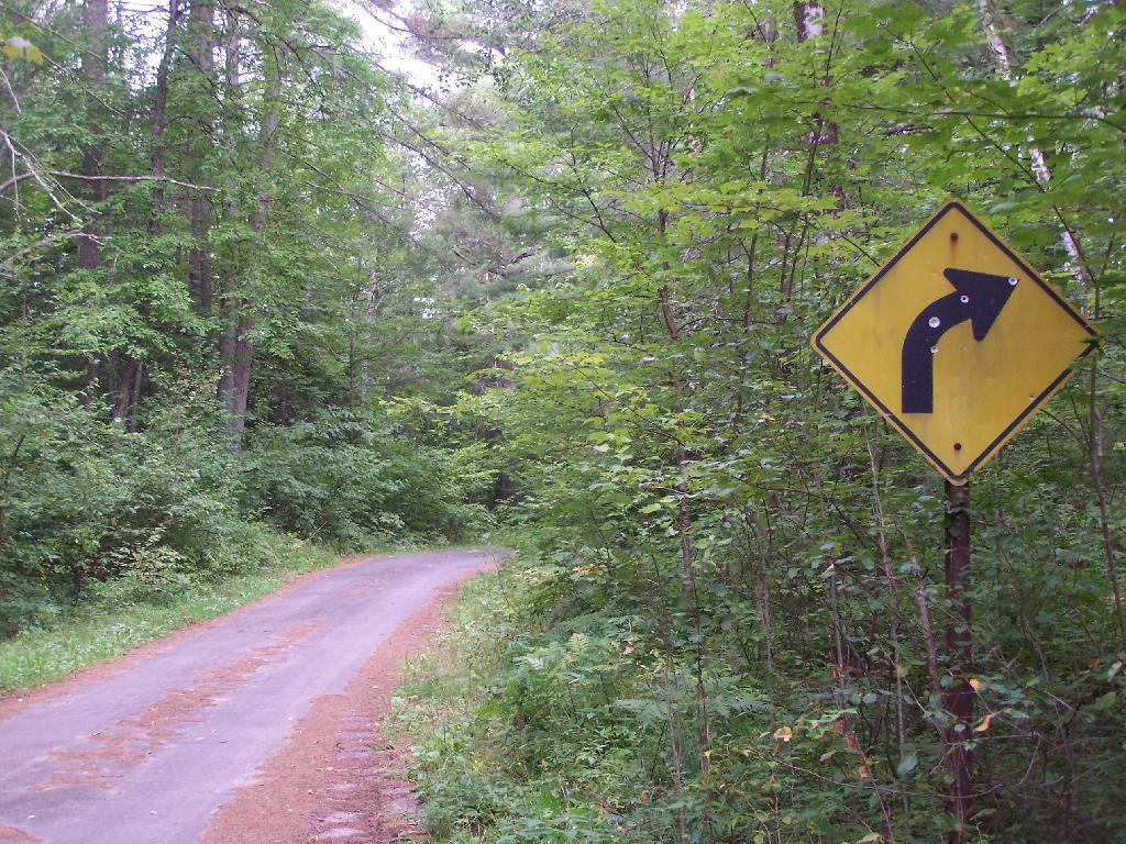
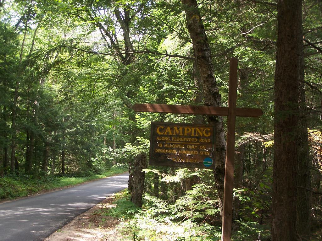
Mountain Pond is located about 2 miles North of Paul Smiths College on an old routing of NY 30. It is a mile long, has catch and release fishing, and good place for some solitude and flat water paddling. It is in Debar Mountain Wild Forest, with 2 large campsites on the pond, 3 smaller ones on or near the pond, and 10 other along Mountain Pond Road. It’s little used due to it’s remote location, and easy to even get one of the large sites on the lake on the weekends.
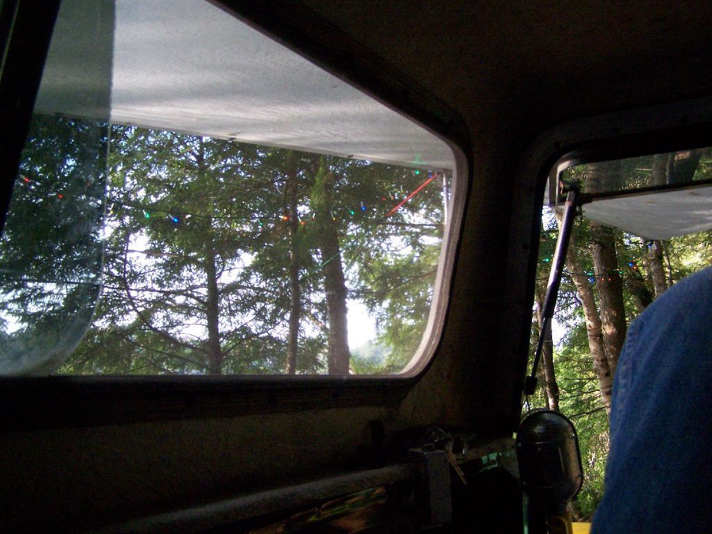
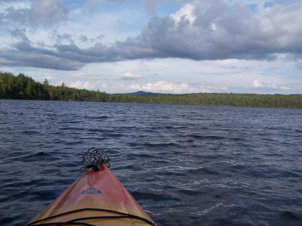
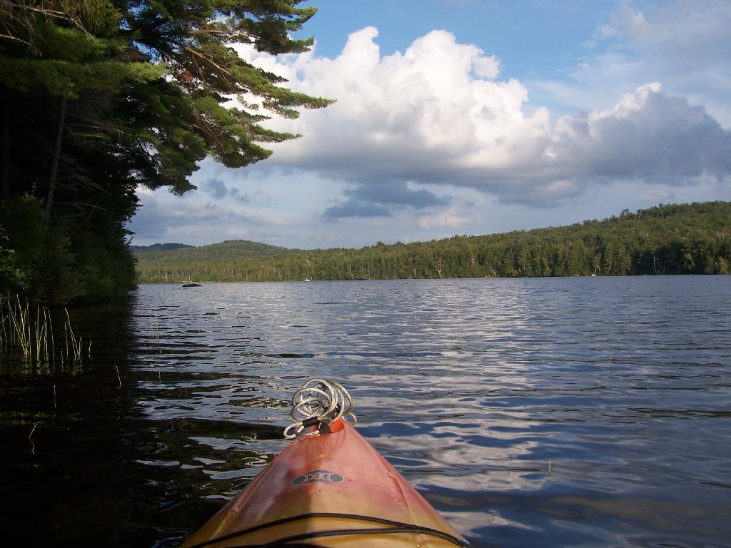
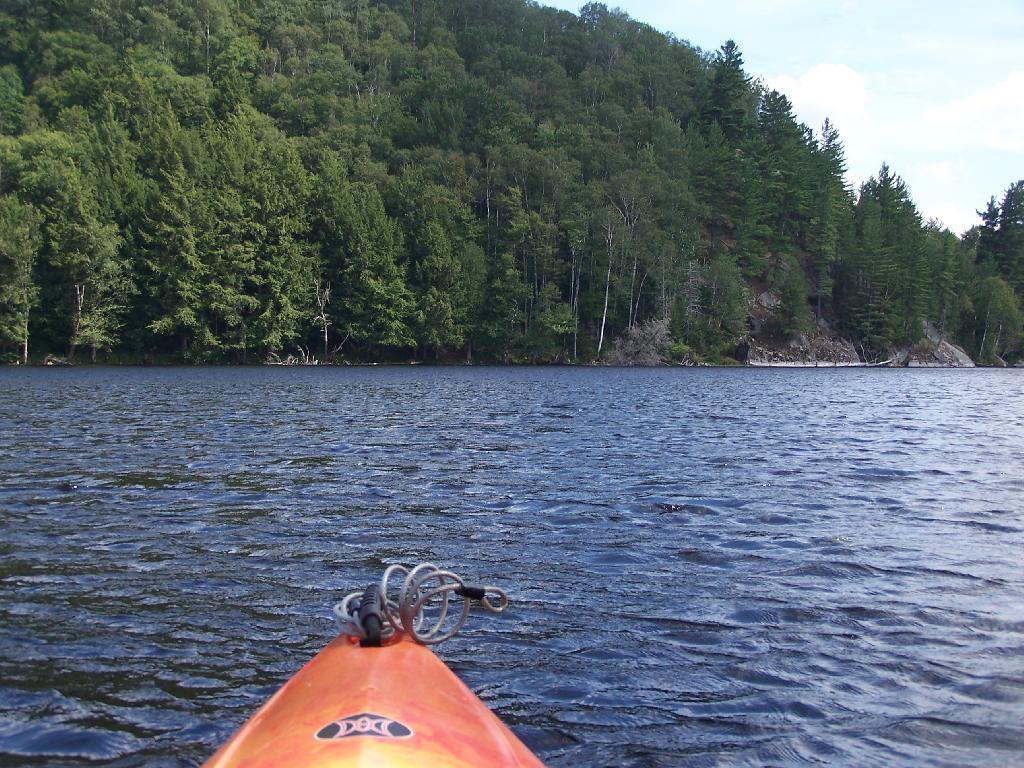
Paddling. Just paddling along Mountain Pond in the kayak.
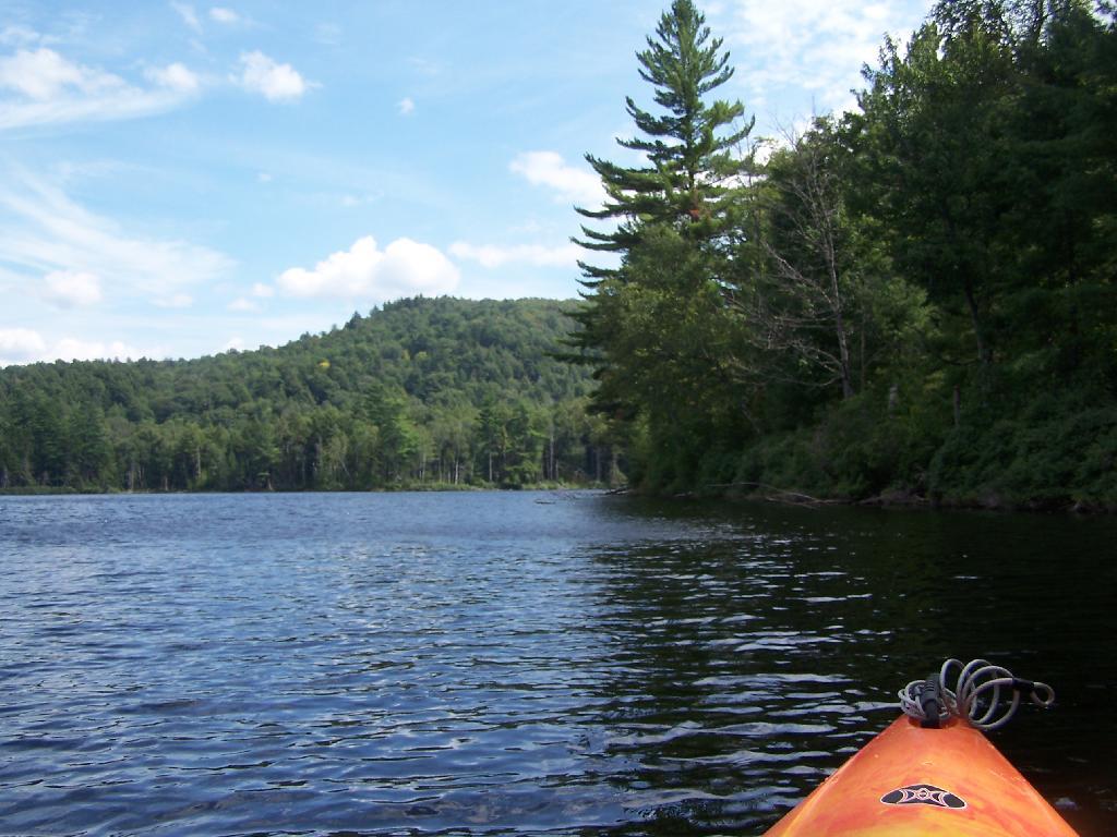
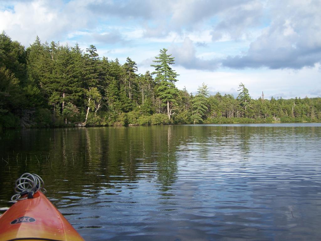
Tall Pine. Lining the edge of Mountain Pond, as I ride around in the kayak.
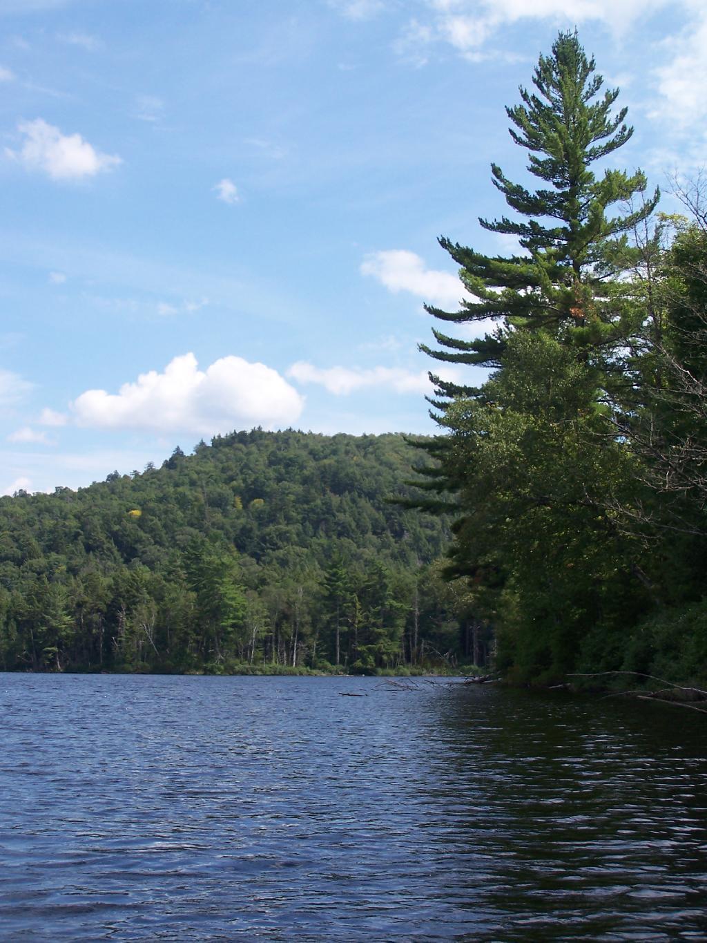
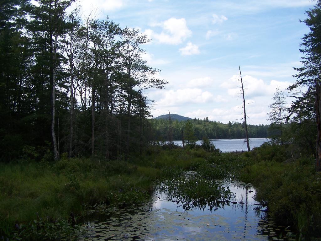
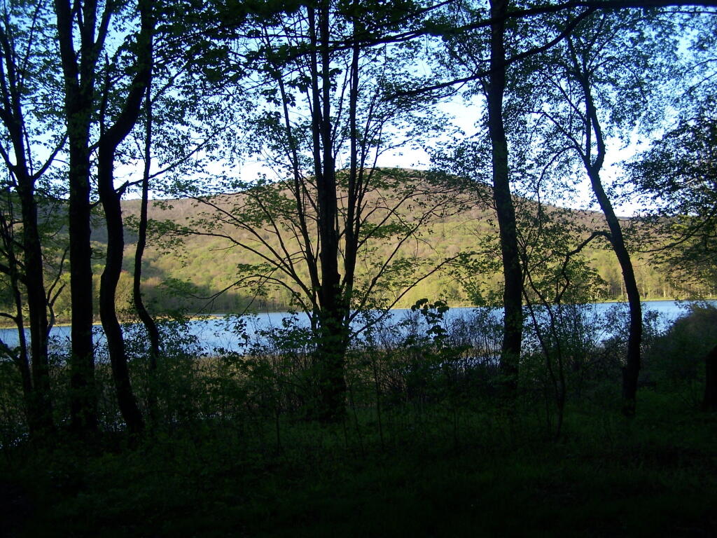
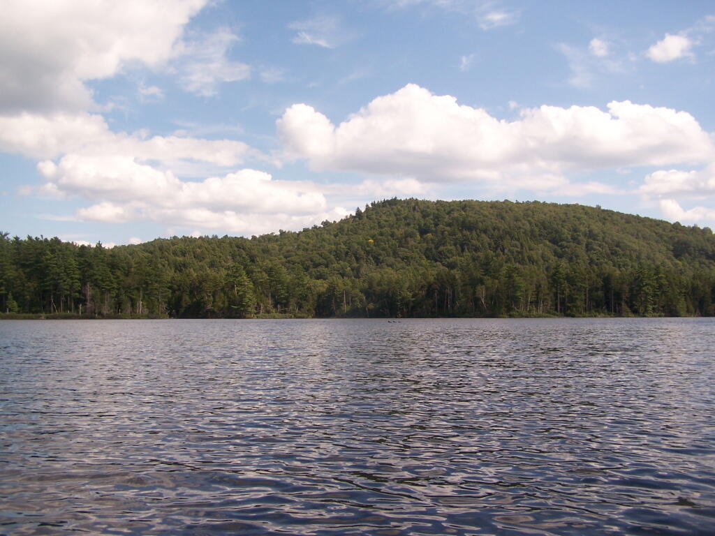
Towards Jenkins Mountain. The last hill that makes up Jenkins Mountain is where Mountain Pond gets it’s name from.
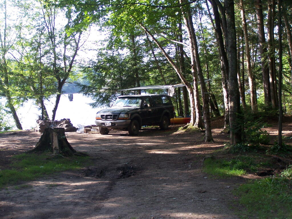
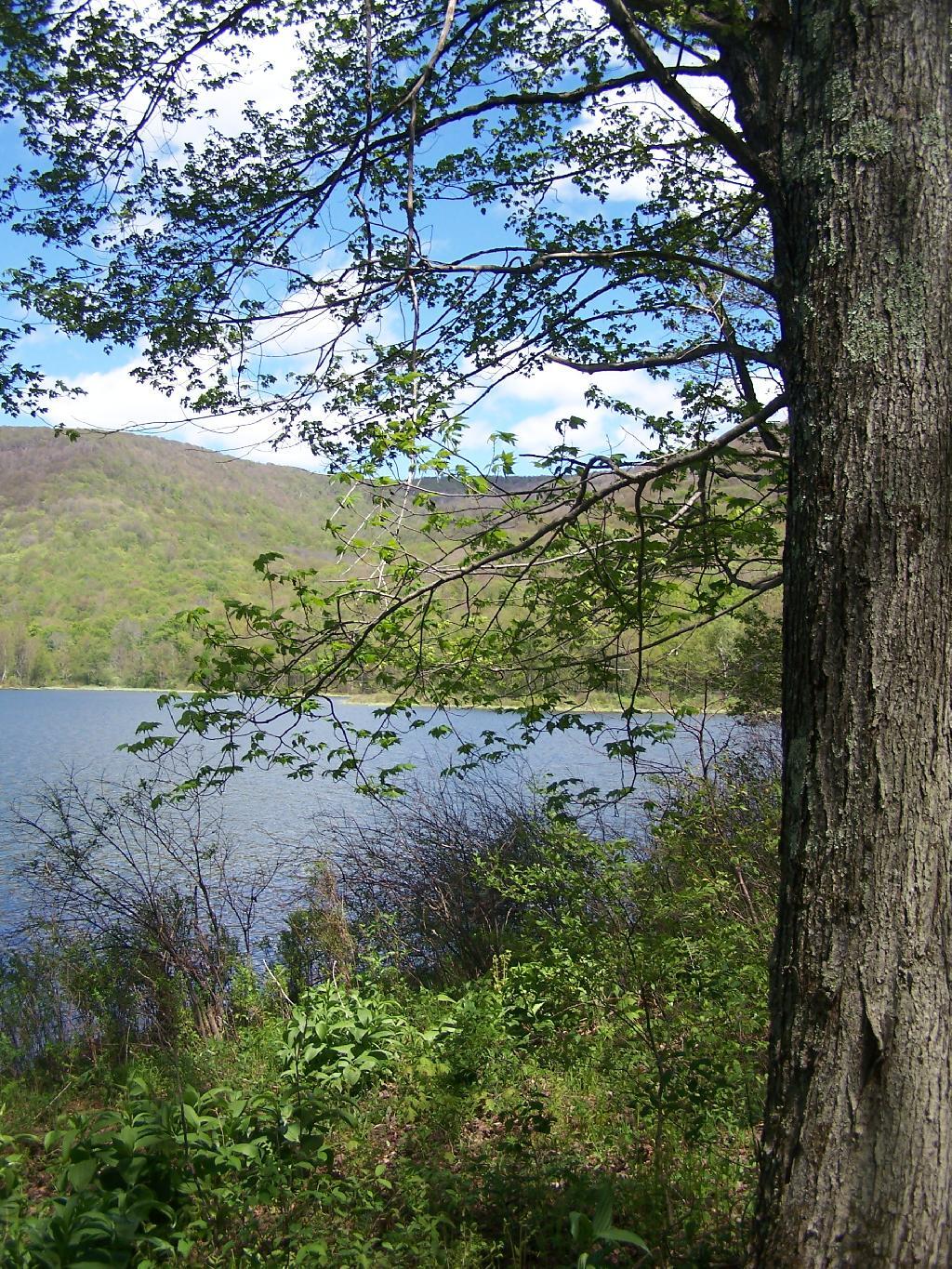
From Southern End of Mountain Pond. This is looking from Campsite 1 at the Southern End of Mountain Pond, looking North. Old NY 30 winds right along the shore of NY 30, the New Routing is about a 1/2 mile away for NY 30.
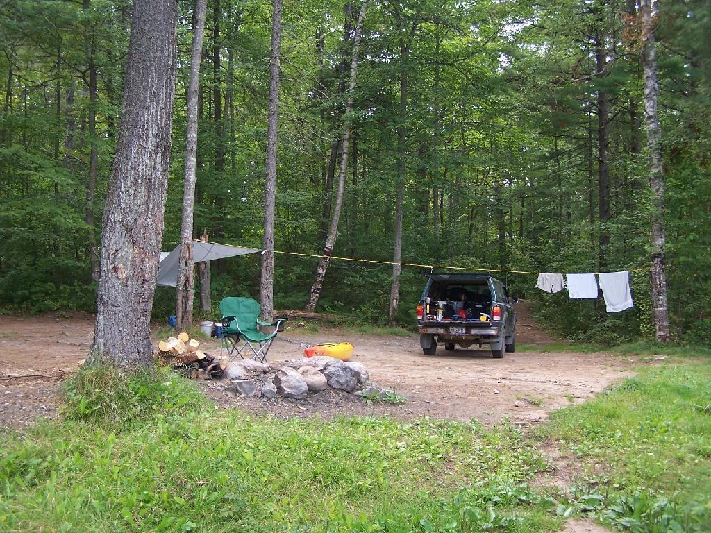
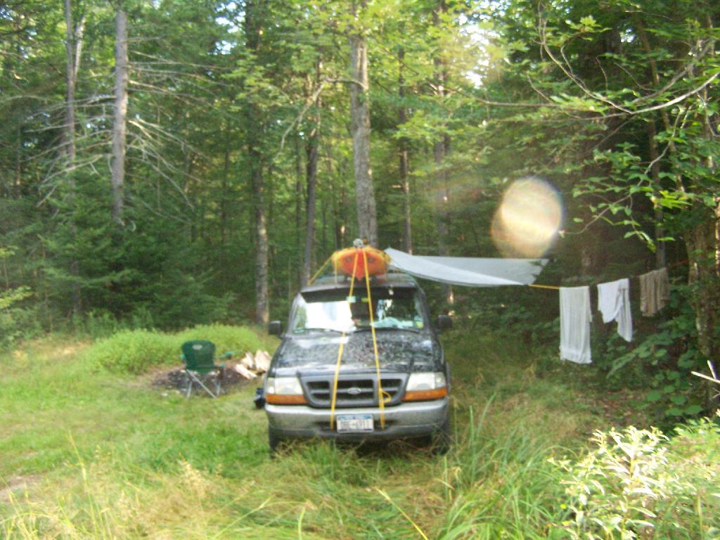
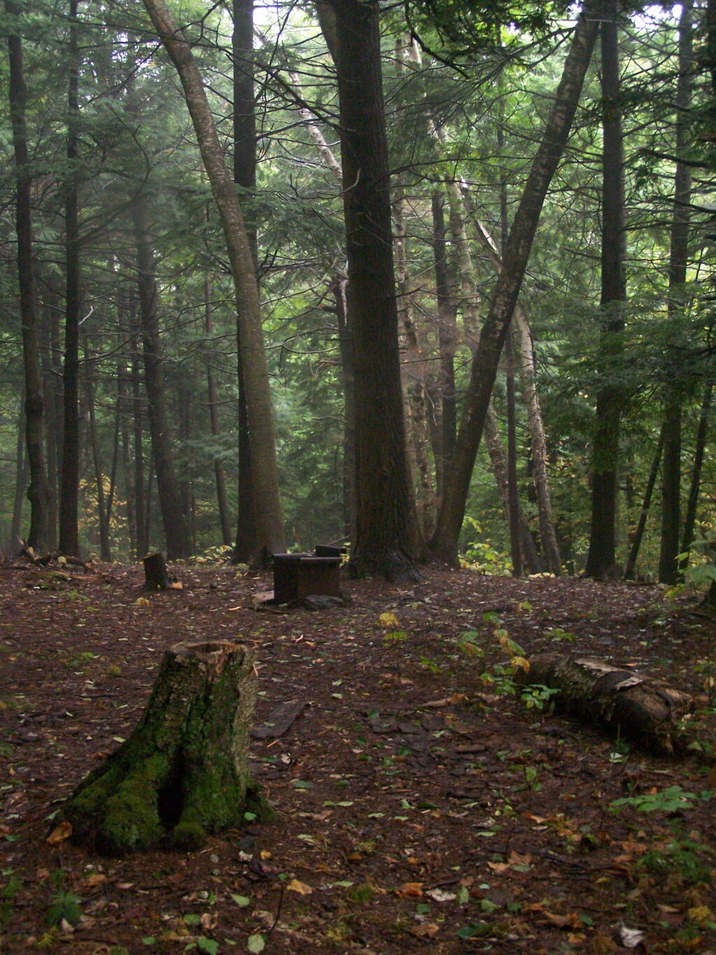
Campsite No 1. This is campsite No 1 at Mountain Pond. It was never used on the Saturday Night I was there, but it looks nice, if not a bit small.
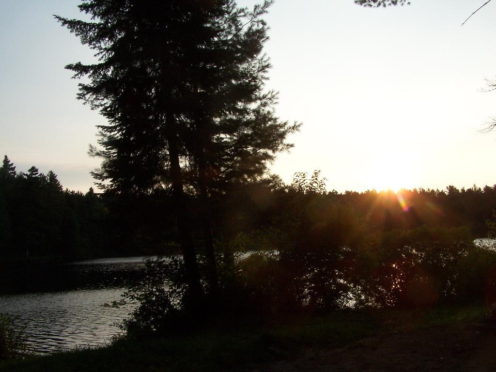
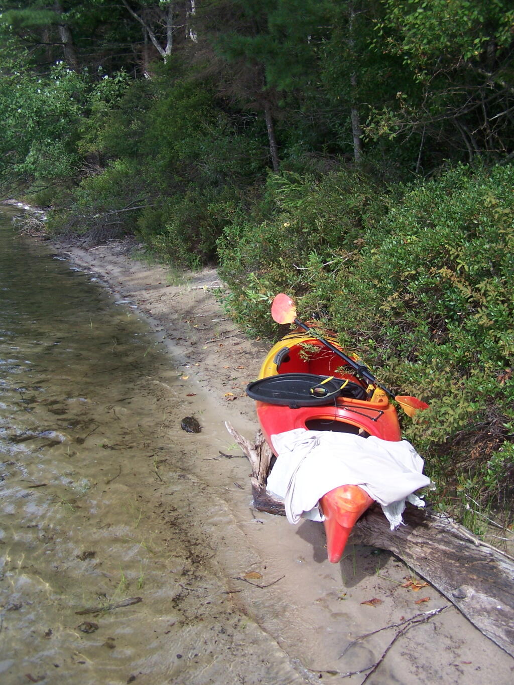
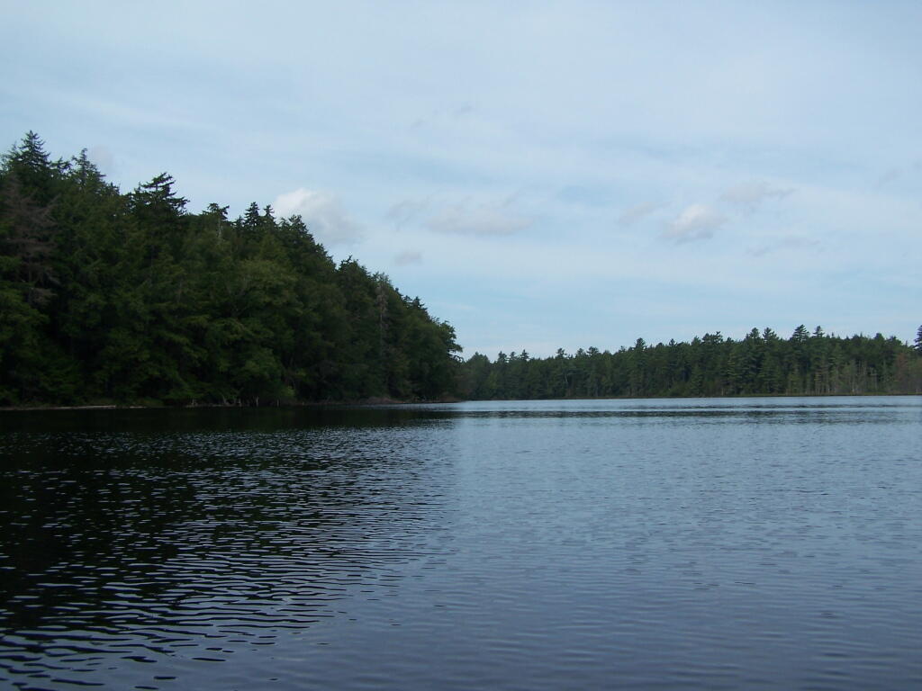
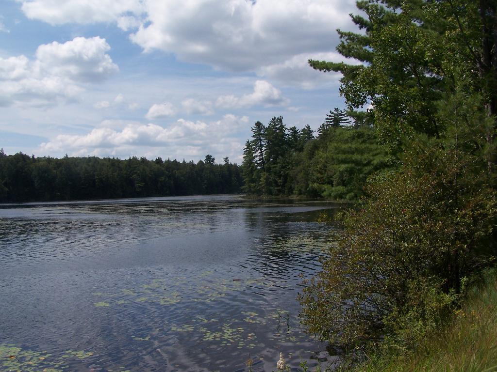
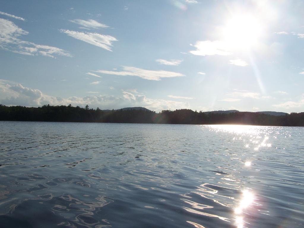
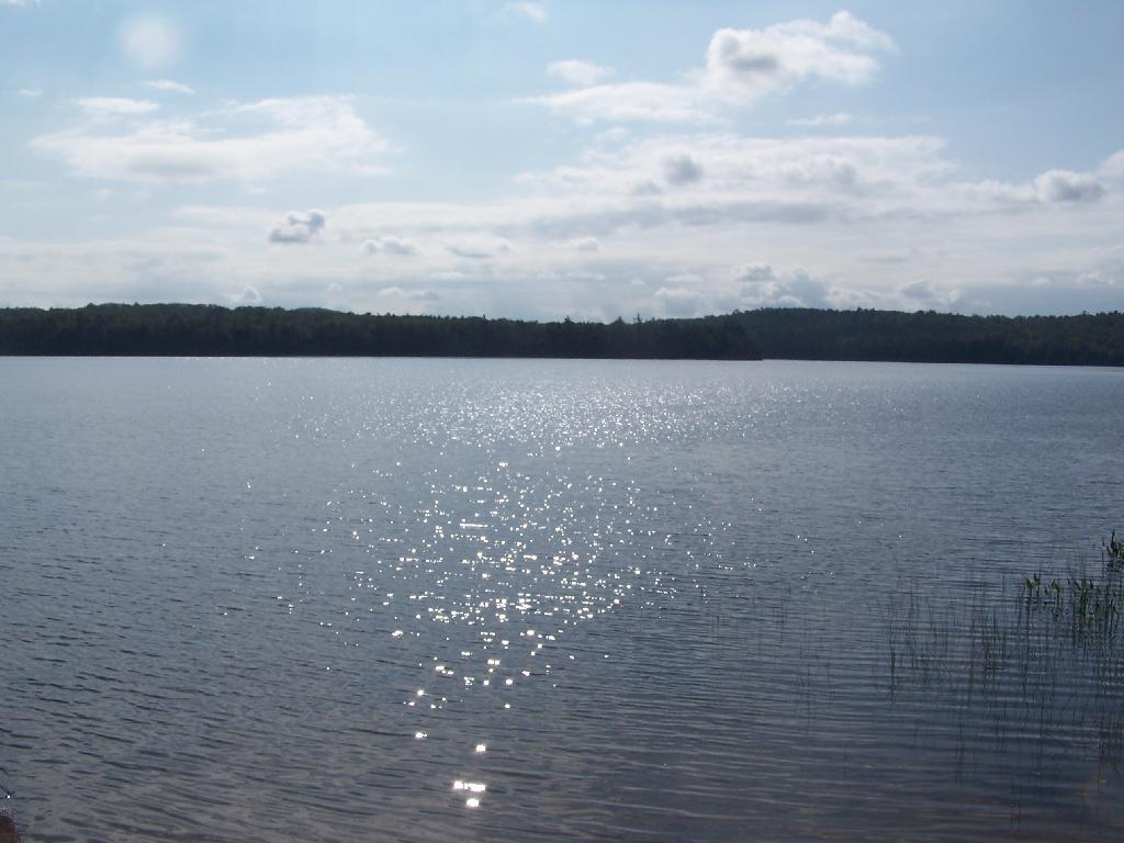
View from Campsite 1. Here my kayak is parked at Campsite 1, where I got out for a stretch. Looking south at this rather spectacular looking lake on a great day. The lake winds back and forth, for about a mile.
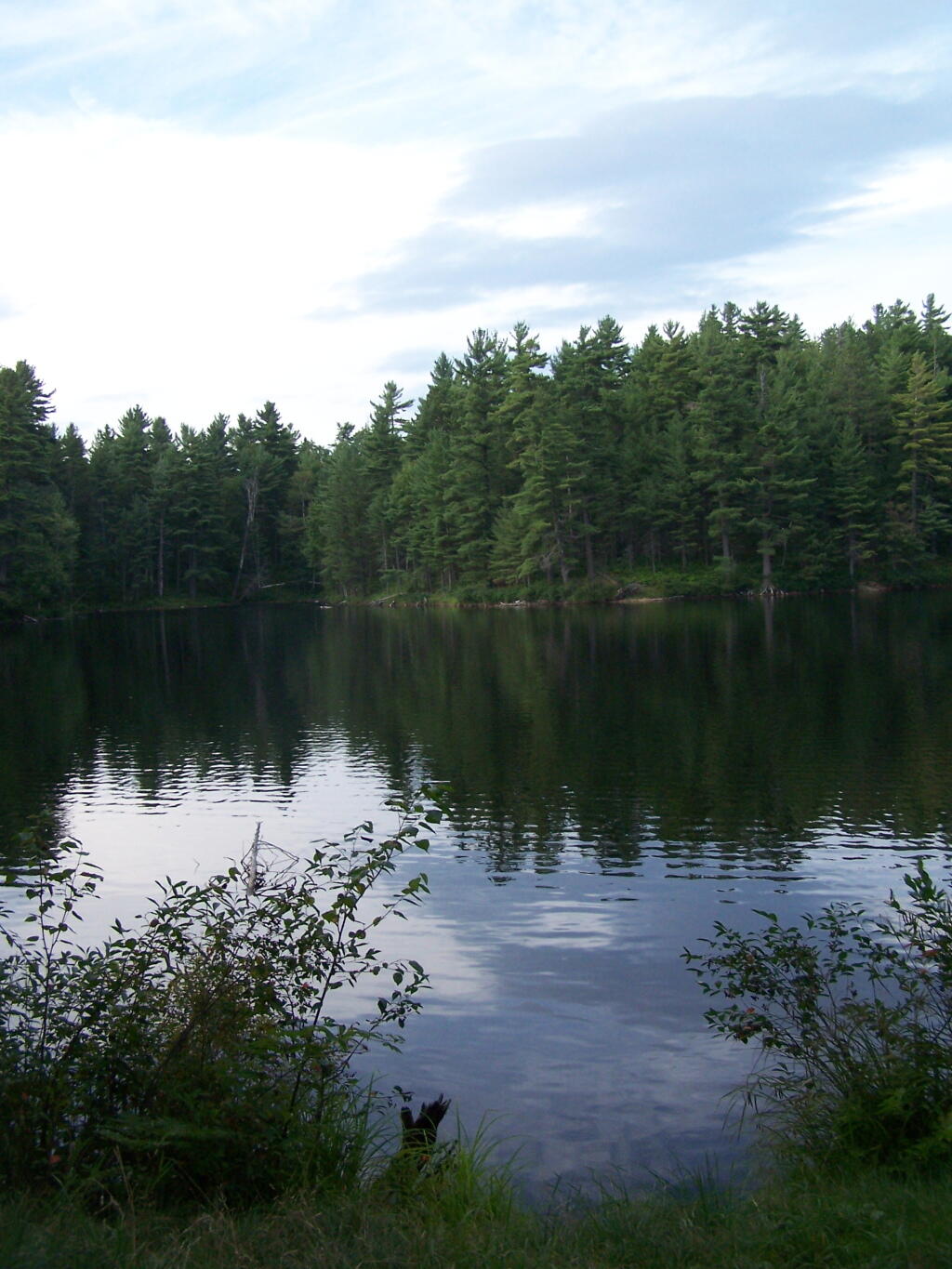
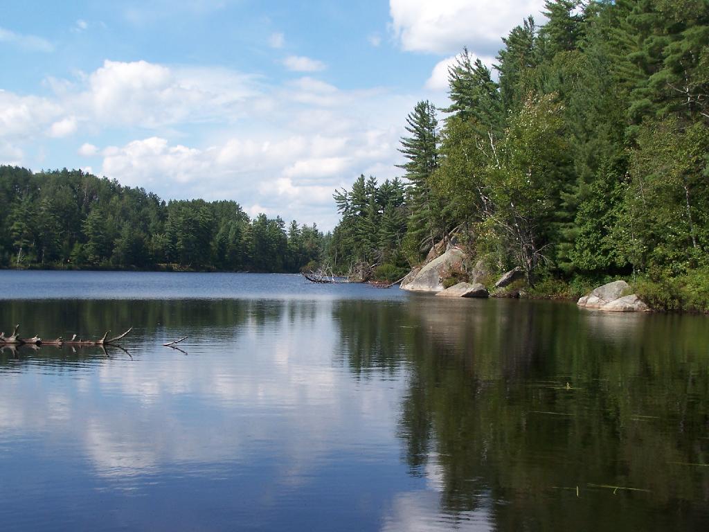
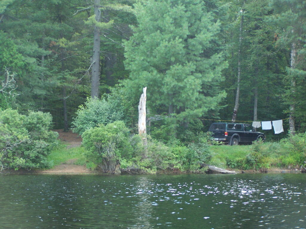
Along Edge of Pond. This is looking at the eastern, more mountainess shore of Mountain Pond.
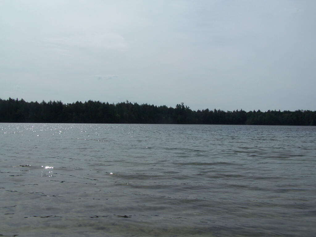
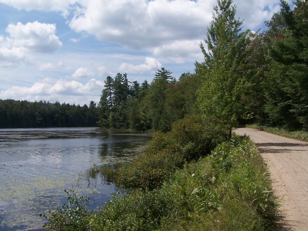
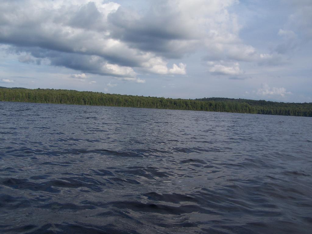
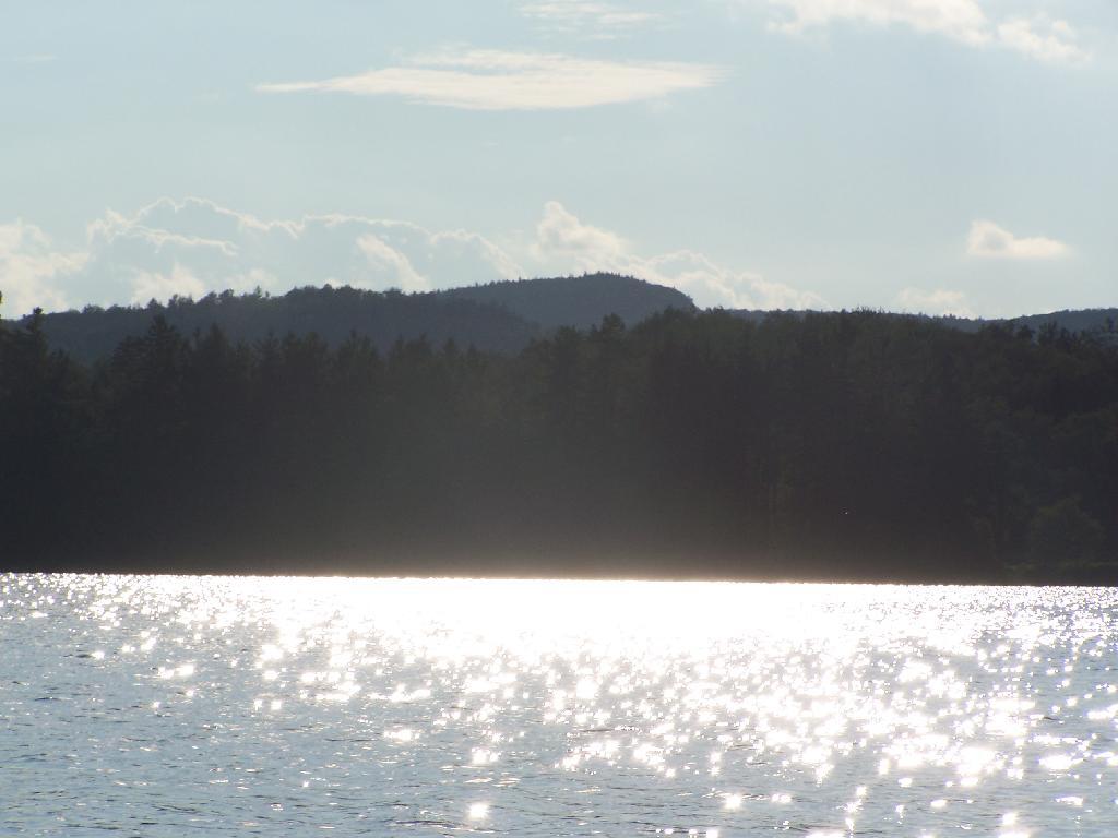
Central Part of Lake. On the left is the western shore, by where NY 30 runs. It is a beautiful, if not humongous lake with lots of shoreline and bys.
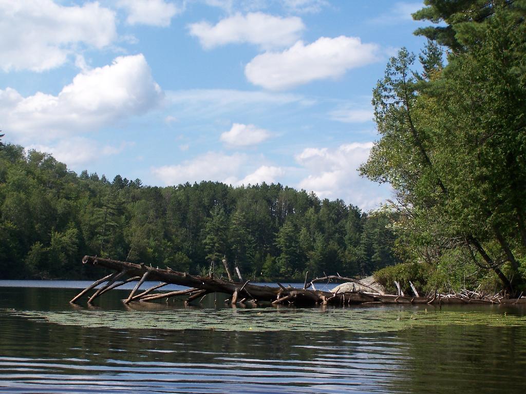
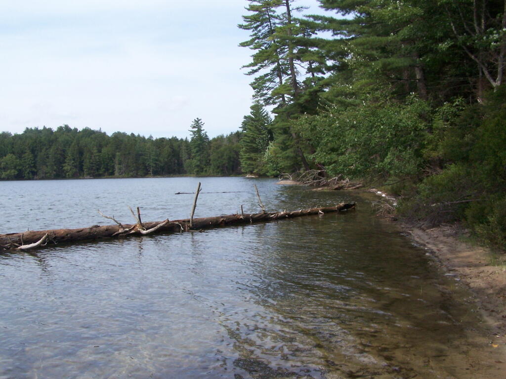
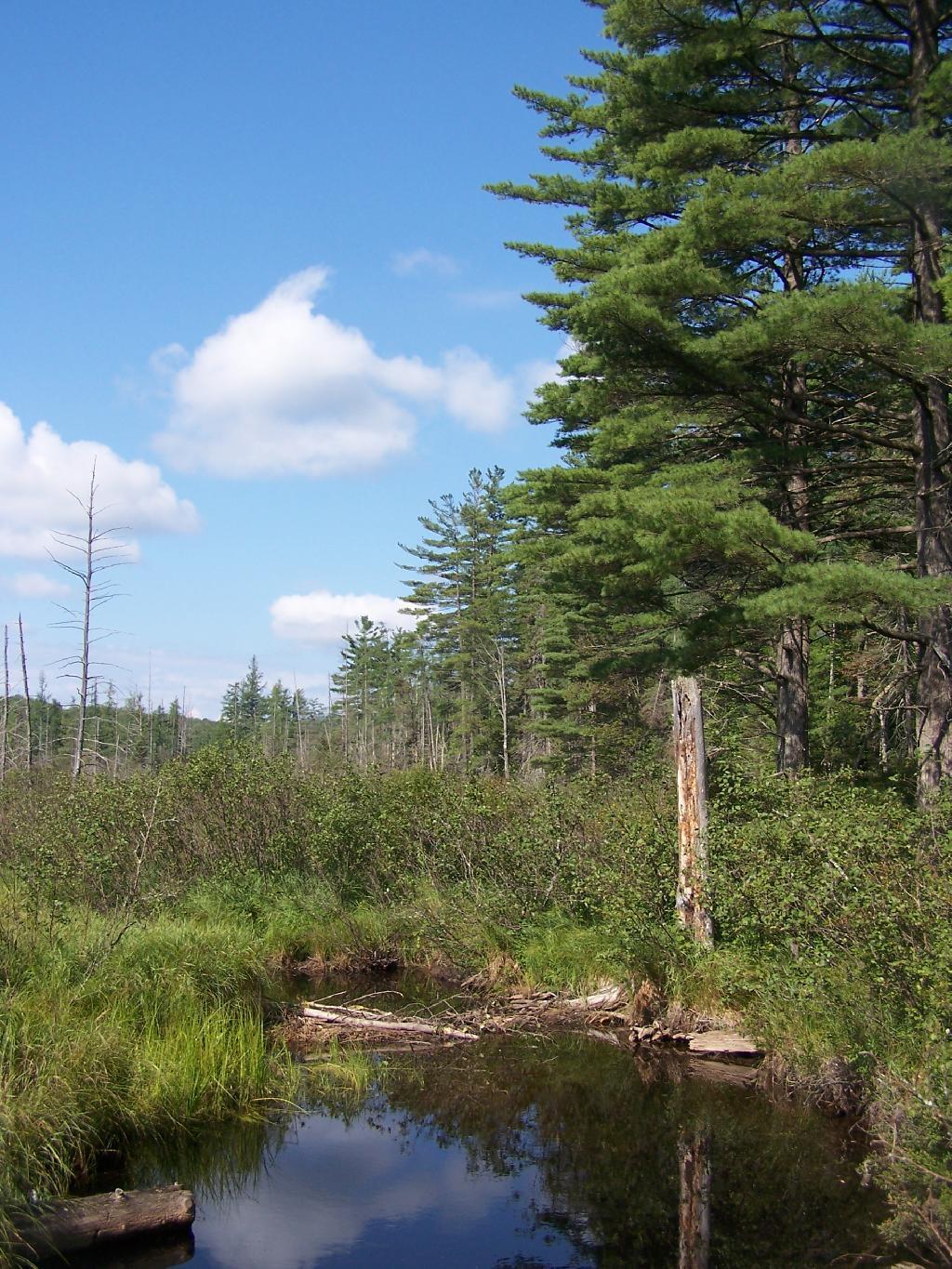
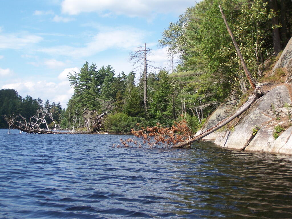
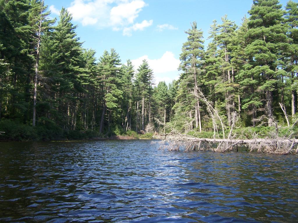
Many Downed Trees. There where many downed trees that had fallen into the lake, from the often steep eastern edge of mountain pond. Campsites are on the other side of the lake, and they all where in good shape.
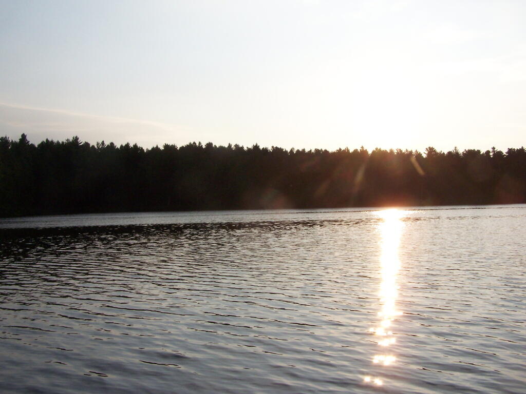
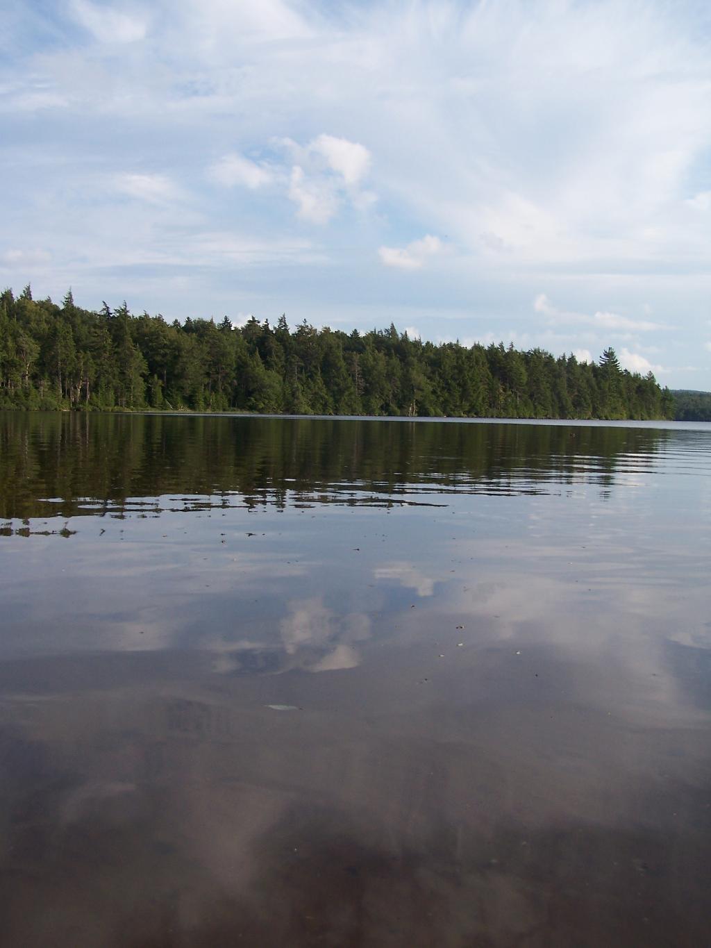
Northeastern Bay. Here is an Northeastern Bay at Mountain Pond. Not as pretty as farther south with the steep rock ledges against the lake, but still a classic Adirondack Lake.
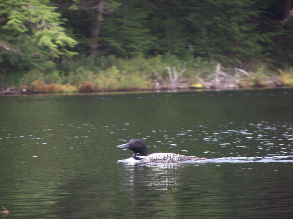
Loons. While this picture is somewhat in shadow, there where loons on Mountain Pond. They were not all that noisy, compared to Polliwog Pond or especially Mason Pond, where they howled quite bit more in the evening.
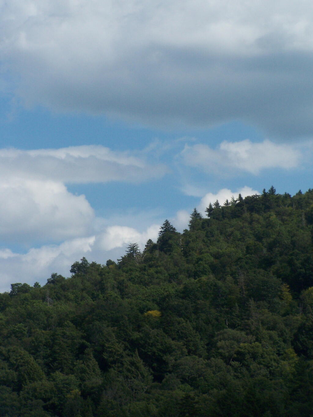
Mountain. This is the Mountain at Mountain Pond. It’s not much more then a hill, because Jenkins Mountain has largely petered out before reaching here, but it’s still a lot higher then surrounding elevation.
Campsites No 4 and No 5. As I had previously noted, Campsites 4 and 5 where pretty close to one an another. Nobody ended up staying at No 5, although somebody parked there for a while to go paddling.
Treeline. This is the tree line towards the top of Mountain Pond, on this rather beautiful day for sure.
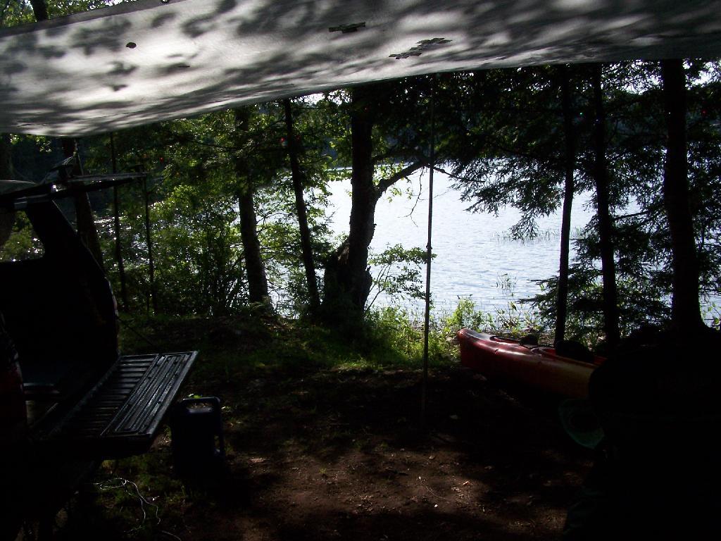
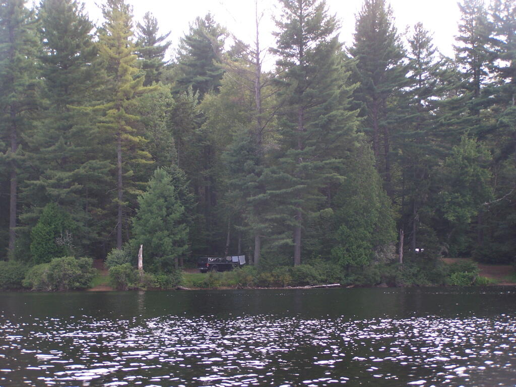
Campsite No 4. This was taken from the lake. It was great to be right on the lake, at this very remote Adirondack Pond.
Here is a map of the pond.