For today’s fodder, we take a look at the policies relating to the development and maintenance of the forest preserve system of roads. In March 2006, DEC Commissioner Denise M. Sheehan issued this policy based on a lawsuit by the Residents Committee to Protect the Adirondacks, that allows for limited road maintenance and development, consistent with the Adirondack and Catskill Unit Management Plans.
While any road in a Adirondack or Catskill Park is bound to be controversial, there is a need to make some portions of the backcountry accessible to the general public. This policy attempts to balance constitutional restraints with the desire of the public to have access to parts of Adirondack and Catskill Park, that might otherwise be unaccessible.
Note: These requirements do not apply to roughly 800,000 acres of public lands outside of the Adirondack and Catskill Park on State Forests, Wildlife Management Areas and other areas. They also do not apply to intensive use areas.
I. Summary
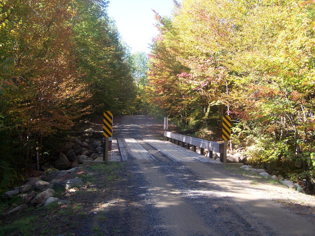
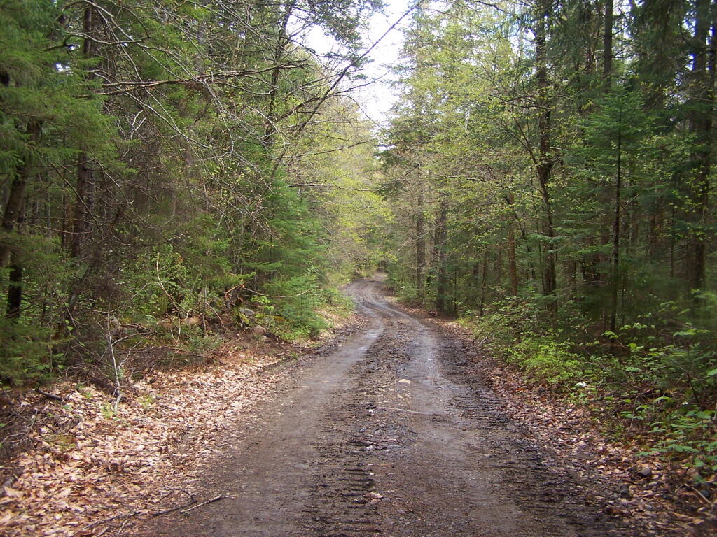
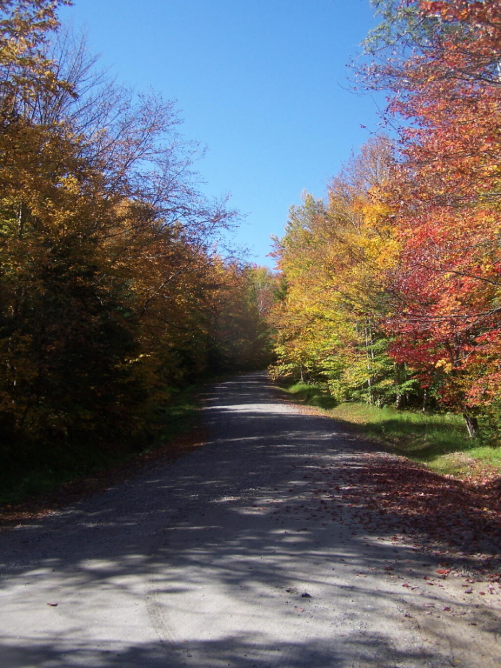
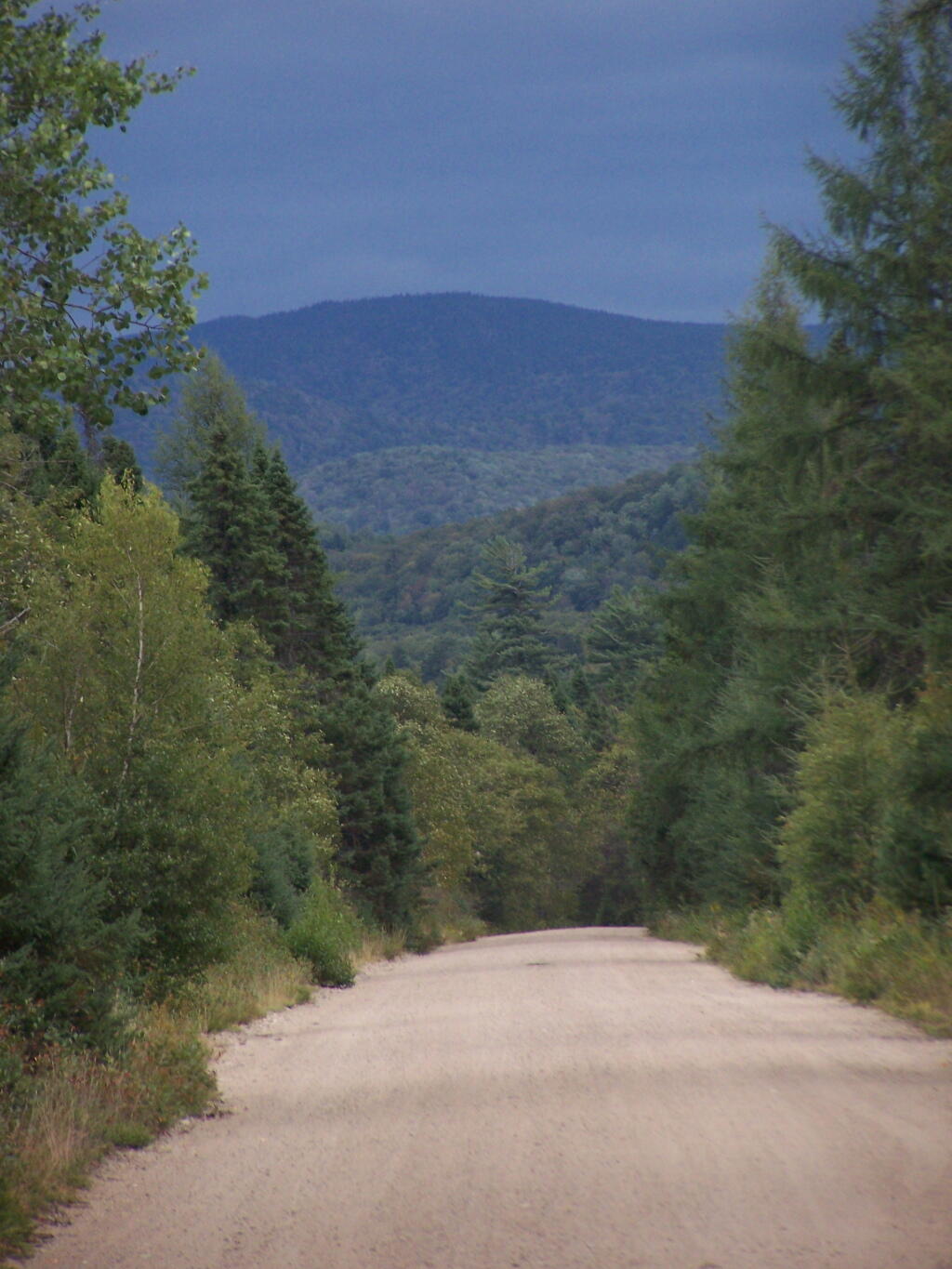
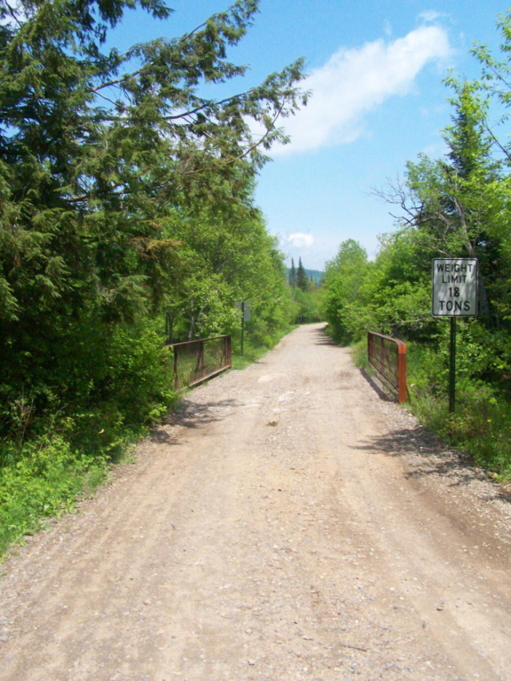
This policy establishes procedures and protocols for the maintenance, rehabilitation, relocation, and, when authorized by the State Constitution, widening and new construction of roads and state truck trails under Department of Environmental Conservation (“Department”)jurisdiction in the Forest Preserve which are situated in units classified by the Adirondack Park State Land Master Plan (“APSLMP”) as Wild Forest, Primitive or Canoe Area or classified by the Catskill Park State Land Master Plan (“CPSLMP”) as Wild Forest. This policy pertains to all such roads and state truck trails on Forest Preserve lands whether or not they are open for public motor vehicle use, except it does not pertain to roads or state truck trails in Intensive Use Areas and Administrative Areas. Further, this policy establishes that generally Forest Preserve roads are low maintenance seasonal roads which are narrow, surfaced with gravel, suitable for low speeds, lightly traveled by the public, and partially or fully shaded by tree canopy. Such roads are further constructed and maintained to the minimum standard necessary to provide passage by appropriate motor vehicles in a manner which protects the environment.
II. Policy:
It is the policy of the Department to ensure that comprehensive and consistent procedures are applied to all maintenance, rehabilitation, widening and construction of roads and state truck trails (roads) in the Forest Preserve to ensure that such activities minimize the impacts on the environment and maintain the wild forest character of the road and state truck trail corridors.The 2003 Memorandum of Understanding Between the Adirondack Park Agency and theDepartment of Environmental Conservation Concerning Implementation of the State LandMaster Plan for the Adirondack Park (MOU) provides guidance concerning ordinary maintenance, rehabilitation and minor relocation of conforming structures and improvements on Forest Preserve lands in the Adirondack Park, including whether consultation between the two agencies is required. This policy is intended in part to build upon the MOU and provide additional direction and clarification on coordination of road work in the Adirondack Forest Preserve. This Policy takes precedence over previously existing authority, guidelines, andpolicies.
This policy does not include standards for determining if a road has become legally abandoned. Determinations of road abandonment will be made on a case by case basis inc onsultation with the Division of Legal Affairs.
1 The following definitions, guidelines, responsibilities and procedures shall govern work to be done on roads and state truck trails being carried out on lands of the Forest Preserve which are classified by the APSLMP or CPSLMP as Wild Forest, Primitive, or Canoe.
A. Definitions:
1.Brushing means cutting of woody vegetation less than 3 inches in diameter at breast height (d.b.h.).
2. Ditch means an excavated drainage structure situated adjacent and generally parallel to the driving surface and shoulder of a road or truck trail, designed to convey water away from the driving surface.
3. Ditchline means the low point or centerline of the ditch.
4. Drainage structure means a device which drains water off or away from the road. Drainage structures include such structures as water bars, ditches, French drains,culverts and underdrains.
5. Driving Surface means that portion of the road surface which is designed for vehicles to travel on.
6. Footprint means the limits of disturbance of the road. The foot print includes the driving surface, shoulders, drainage structures, and side slopes. The Original Footprint is the limit of disturbance of the road at the time that it was initially constructed. The currently maintained or existing foot print means areas of the footprint not currently occupied by trees greater than 3″ dbh.
7. French drain means a subsurface drain consisting of a trench backfilled with porous soil or loose stone and covered with earth or other appropriate surface material.
8. Minor relocation of a road or state truck trail means the relocation of a short segment of a road in order to avoid drainage, wetlands, safety, or other site specific problems which cannot otherwise be adequately addressed. A minor relocation shall be the minimum length of new road required to avoid or lessen the site specific problem, but shall not exceed 300 feet in length.
9. Mowing means cutting of non-woody vegetation and woody vegetation less than 3feet in height.
10. Ordinary maintenance means activities within the currently maintained footprint of the road which are needed to keep the road in good working order and which overtime do not materially change the use or appearance of the land or the vegetation thereon from its current use and appearance, including the maintenance or in-kind replacement of road appurtenances and work to address public health and safety issues where such maintenance or activities periodically occur on an as-needed basis. For purposes of this policy, ordinary maintenance includes the following activities when carried out within the currently maintained footprint:
i. pothole filling;
ii. blowdown clearing;
iii. grading of driving surface;iv. bridge repair and maintenance;
v. bridge replacement with a bridge of the same design and of similar dimensions and which is constructed of similar materials;
vi. culvert maintenance, or replacement with a culvert of a length not to exceed the existing foot print and the same nominal height as the culvert being replaced in the same location, provided that the culvert does not involve a freshwater wetland;
vii. drainage structure maintenance, or replacement with a structure in the same location with the same design and similar dimensions and which is constructed of similar materials;
viii. cleaning of existing ditches and culverts that do not impact fresh waterwetlands;
ix. mowing and brushing routinely maintained roads up to four feet beyond theshoulder or ditchline to maintain existing sight lines, road shoulders, andditches;
x. resurfacing of driving surface, with similar material as currently used on theroad, provided that such resurfacing will not likely facilitate levels of public motor vehicle use which significantly exceed existing levels of such use;
xi. limited rock removal that does not require blasting;
xii. trimming select individual tree branches that impede vehicular traffic, obscure sight lines, and hide roadside hazards; and
xiii. cutting select individual dead or hazardous trees pursuant to Lands and Forests Policy 91-2, Cutting and Removal of Trees in the Forest Preserve.
11. Rehabilitation means work that does not occur on a routine basis within the currently maintained footprint of the road which is essential to address environmental impacts, improve safety, or to restore the road or truck trail to a usable condition. It includes the construction of new road appurtenances or work outside of the currently maintained foot print of a road, but within the original footprint of the road. Rehabilitation includes but is not limited to the following activities:
i. placing culverts at new locations;
ii. replacing existing culverts with culverts that have a nominal height greaterthan the nominal height of the existing culvert;
iii. constructing new ditches or drainage structures;
iv. widening existing ditches;
v. cutting trees other than dead or hazardous trees pursuant to Lands and ForestsPolicy Lands and Forests Policy 91-2, Cutting and Removal of Trees in theForest Preserve;
vi. brushing in areas which have not been routinely maintained;
vii. resurfacing the driving surface where such resurfacing will likely facilitate levels of public motor vehicle use which significantly exceed existing levels of such use;
viii. resurfacing of the driving surface with material that is different from the material which currently covers the surface of the road when there is a clear determination that this measure is necessary to protect the natural resources of the Forest Preserve adjoining the road corridor by controlling erosion or runoff; and
ix. regrading of side slopes.
12. Road means motorized transportation corridors that include both roads and state truck trails as defined in the Catskill and Adirondack Park State Land Master Plans, unless the context indicates otherwise.
Road (APSLMP definition): The APSLMP defines “road” on page 18-19 as “an improved or partially improved way designed for travel by automobiles and which may also be used by other types of motor vehicles except snowmobiles, unless the way is a designated snowmobile trail; and is, either maintained by a state agency or a local government and open to the general public maintained by private persons or corporations primarily for private use but which may also be open to the general public for all or a segment thereof; or maintained by the Department of Environmental Conservation or other state agency and open to the public on a discretionary basis.
Road (CPSLMP definition): The CPSLMP defines “road” in Appendix C as “an improved way designed for travel by automobiles and which may also be used by other types of motor vehicles except snowmobiles, unless the way is a designated snowmobile trail; and is, either maintained by a state agency or a local government and open to the general public; or maintained by private persons or corporations primarily for private use but which may also be open to the general public for all or a segment thereof; or, maintained by the Department of Environmental Conservation or other state agency and open to the public on a discretionary basis; or, maintained by the Department of Environmental Conservation for its administrative use only.”
13. Road work means any physical alteration of a road including ordinary maintenance, minor relocation, rehabilitation, widening and new construction as defined in this policy.
14. Shoulder means a transition zone between the driving surface and the road edge or the ditchline. In general, a wheel of a motor vehicle is not on the shoulder unless the motor vehicle is parked or pulled over to let another car pass.
15. Side slope means that area outside of the ditch or road shoulder that is graded to a uniform slope in order to stabilize the soil between the ditch or shoulder and the native, undisturbed ground.
16. State truck trail:
i. State truck trail (APSLMP definition). The APSLMP on page 19 defines “state truck trail” as an improved way maintained by the Department ofEnvironmental Conservation for the principal purpose of facilitatingadministration of state lands or of allowing access for fire fighting equipment and not normally open for public use of motorized vehicles.
ii. State truck trail (CPSLMP definition). “State truck trail†is defined in Appendix C of the CPSLMP as “an improved way maintained by the Department of Environmental Conservation for the principal purpose offacilitating administration of state lands or to allow access for fire fighting equipment and not normally open to the public for motorized vehicle use.
17. Trimming means the removal of lateral branches or leaders of a tree or shrub, that does not sever the plant from its roots.
18. Underdrain means a perforated culvert in porous fill for drawing off subsurface water from the soil.
19. Widening means a lateral expansion of the currently maintained footprint, or lateral expansion of the driving surface of the road. Widening includes the clearing of trees and other vegetation from areas of the existing footprint that are not currently so maintained to restore the opening of the original footprint.
20. Work plan means a detailed description of work to be performed, the Best Management Practices that will be used in performance of the work, and the desired final condition of the road and surrounding area.
B. Guidelines for roads subject to this Policy
1. Determination of Road Width, Driving Surface and Desired Condition. The width, existing condition and desired condition of all roads will be addressed in Unit Management Plans (“UMPs”).. 2. Relocation, rehabilitation, widening or construction of roads. Any road work, except for ordinary maintenance, not authorized in a UMP may not be performed until it is determined whether or not a UMP amendment may be required. This determination will be made by the Director of the Division of Lands and Forests in consultation with APA after a work plan has been developed. Ordinary maintenance of existing roads does not require UMP authorization. Roads designated as closed in a UMP may not be maintained.
3. Work plans. All rehabilitation, relocation (including minor relocation), widening and new construction of roads in the Adirondack Park and the Catskill Park will be done in accordance with a written work plan. Work plans will detail the work to be performed and the Best Management Practices that will be used in performance of the work and the desired final condition of the road and surrounding area. In both the Adirondack Park and Catskill Park, ordinary maintenance of a road requires approval from the Regional Forester in the form of a written work order or an approved “Requests for Routine Maintenance Projects on Forest Preserve Lands.All work plans will describe the work to be performed, including any tree cutting, in relation to a linear distance from the projectâ’ starting point. Markers corresponding to the work described in the work plan shall be placed at the work site. Work plans should include photographs taken at representative locations along with location by location descriptions of the road condition, driving surface and width.
5 All work plans in the Adirondack Park will be developed in consultation with APA as per the MOU and must be approved by the Regional Director and the Director of the Division of Lands and Forests or their designees. If a work plan for a project in the Adirondack Park indicates that the proposed work may materially change the appearance of the land or vegetation thereon or use of the road, then the Director of the Division of Lands and Forests or the Director’s designee shall consult with APA staff to determine whether such work must first be authorized by an approved UMP or UMP amendment. If a work plan for a project in the Catskill Park indicates that the proposed work may materially change theappearance of the land or vegetation or use of the road, then the Director of the Division of Lands and Forests shall determine whether such work must first be authorized by an approved UMP or UMP amendment.
4. Best Management Practices. All work on roads shall be done in accordance with Best Management Practices (BMPs). The New York State Forestry Best Management Practices for Water Quality, BMP Field Guide shall serve as a reference for developing BMPs.
5. Approvals and Consultation
i. Ordinary Maintenance. Ordinary maintenance of a road in the Adirondack Park does not require either APA consultation or UMP authorization, except that, as per the MOU, APA consultation is required if wetlands might be impacted. Ordinary maintenance of a road in the Catskill Park does not require UMP authorization, except that consultation with the Department’s Division Fish, Wildlife and Marine Resources Freshwater Wetlands Manager is required if wetlands might be impacted. In both the Adirondack Park and Catskill Park, ordinary maintenance of a road requires approval from the Regional Forester in the form of a written work order or an approved “Requests for Routine Maintenance Projects on Forest Preserve Lands.”
ii. Rehabilitation. Rehabilitation of roads has the potential to impact the wild forest character of the road, cause significant environmental impacts and facilitate additional public use. For these reasons, rehabilitation of roads inthe Adirondack Park requires a written work plan and consultation with the APA. Depending upon site specific considerations, rehabilitation may require authorization by an approved UMP or UMP amendment. This determination requires approval from the Director of the Division of lands and Forests and will be made in consultation with APA.
ehabilitation of roads in the Catskill Park requires approval from the Director of the Division of Lands and Forests or the Director’s designee and, depending upon site specific considerations, may require authorization in an approved UMP or UMP amendment.
iii. Minor relocation . Minor relocation of roads in the Adirondack Parkrequires a written work plan, approval from the Director of the Division of Lands and Forests and consultation with the APA, and may require a UMP or UMP amendment. Minor relocation of roads in the Catskill Park requires a written work plan and approval from the Director of the Division of Lands and Forests, or the Director’s designee, and requires authorization in an approved UMP or UMP amendment. Relocation of portions of roads or state truck trails that are greater than 300 feet, or any or relocation that may have significant environmental impacts will be considered as constituting new road construction and must follow the procedures and protocols on new road construction set forth subsequently in this document.In the Adirondack Park, the determination of whether a particular road relocation project constitutes a minor relocation will be made by the Director of the Division of Lands andForests or the Director’s designee in consultation with the APA. In theCatskill Park, the determination of whether a particular road relocation project constitutes a minor relocation will be made by the Director of the Division of Lands and Forests or the Director’s designee.
iv. Road widening and new road construction on roads in units classified as Wild Forest. As noted above, the widening of existing state truck trails and roads and the construction of new state truck trails and roads on lands classified as Wild Forest under the APSLMP and the CPSLMP, must be authorized by the State Constitution.
Supplementing this constitutional requirement is the APSLMP’s requirement that “No new roads will be constructed in wild forest areas nor will new state truck trails be constructed unless such construction is absolutely essential to the protection or administration of an area, no feasible alternative exists and no deterioration of the wild forest character or natural resources quality of the area will result.
The CPSLMP requires that, in Wild Forest, “No new roads will beconstructed. No new state truck trails will be constructed unless suchconstruction is absolutely essential to protect or administer an area and there will be no material adverse effect on the wild forest character of the area by the proposed construction. Further, the APSLMP and the CPSLMP require that such work must be authorized by an approved UMP. To ensure that such work is authorized by the State Constitution and that environmental issues are identified and fully addressed, widening and new construction of roads in the Adirondack Park must be authorized by an approved UMP or UMP amendment, and require a written work plan and consultation with the APA as per the MOU.
Widening and new construction of roads in the Catskill Park must be authorized by an approved UMP or UMP amendment, and require a written work plan which must be approved by the Regional Director and the Director of the Division of Lands and Forests, or their designees.
III. Purpose and Background:
Forest Preserve roads, which are generally low maintenance seasonal roads, are a means of providing the public with access to recreational programs on Forest Preserve lands.
Although design, maintenance and rehabilitation standards for these roads must provide for the health and safety of users, such roads must be consistent with the “wild forest” character of the Forest Preserve and comply with the requirements of the APSLMP or the CPSLMP, as applicable. Thus, proposals for road work in the Forest Preserve must be carefully scrutinized to ensure that health and safety goals are accomplished in a manner which maintains the existing wild forest character of the road corridors and otherwise complies with applicable law.
Article XIV, Section 1 of the New York State Constitution, the paramount legal authority with respect to Forest Preserve land management, provides in relevant part:
“The lands of the state, now owned or hereafter acquired, constituting the forest preserve as now fixed by law, shall be forever kept as wild forest lands. They shall not be leased, sold or exchanged, or be taken by any corporation, public or private, nor shall the timber thereon besold, removed or destroyed. (Emphasis added).”
All road work for roads in the Forest Preserve must be consistent with the directives contained in this constitutional provision. Case law interpreting this provision has held that an immaterial amount of tree cutting does not violate this clause when done in furtherance of one of the purposes for which the Forest Preserve was created, namely, watershed protection and public recreation in a forever wild forest setting. See The Association for the Protection of the Adirondacks v. MacDonald, 253N.Y. 234 (1930); Balsam Lake Anglers Club v. Department of Environmental Conservation, 199 A.D. 2d 852, 605 N.Y.S. 2d 795 (App. Div., Third Department, 1993); Helms v. Reid, 90 Misc. 2d 583 (Hamilton County Supreme Court, 1977), and Flacke v. Town of Fine 113 Misc. 2d 56 (St. Lawrence County Supreme Court, 1982).
Under the rationale set forth in these cases, Forest Preserve road corridors should maintain a wild forest character, with minimal tree cutting. Thus, the current character of Forest Preserve roads should not be changed, and such roads should continue to have narrow driving surfaces, be surfaced with gravel, be suitable for low speeds only, and be shaded by tree canopy.
Roads and state truck trails are nonconforming in areas classified by the APSLMP and CPSLMP as Wilderness. Therefore, there shall be no maintenance, rehabilitation, relocation, widening, or new construction of roads or state truck trails in Wilderness areas.
In areas classified as Primitive by the APSLMP, existing roads and state truck trails may be maintained, rehabilitated or relocated only if the road or truck trail was in existence when the land was classified as Primitive and the road or truck trail is used by administrative personnelto reach and maintain structures and improvements whose removal cannot be effected by a fixed deadline or whose presence is of an essentially permanent character.
In addition, existing roads in areas classified as Primitive may be maintained, rehabilitated or relocated if the roads are open for public use at the Department’s discretion pending wilderness classification. There may be no widening or new construction of roads or state truck trails in Primitive Areas.
In areas classified as Canoe by the APSLMP, the use of roads is prohibited and therefore such roads may not be maintained, rehabilitated, relocated, widened or constructed. Existing state truck trails in areas classified as Canoe may be maintained, rehabilitated or relocatedwhere the truck trails are being used by administrative personnel for purposes designed to preserve or enhance the water or fishery resources of the area as specified in UMPs. The widening or new construction of truck trails is prohibited in Canoe areas.
In areas classified as Wild Forest by the APSLMP, existing roads and state truck trails which are used solely by administrative personnel to reach, maintain and construct permitted structures and improvements may be maintained, rehabilitated, and relocated, but may not be widened. New roads and state truck trails to be used solely for these purposes may not be constructed. Existing public roads open to the public for motor vehicle use in APSLMP Wild Forest areas may be maintained, rehabilitated and relocated. Existing public roads maybe wide ned only if authorized by Article XIV, Section 1 of the New York State Constitution.
No new roads or state truck trails will be constructed in APSLMP Wild Forest areas unless such construction is authorized by Article XIV, Section 1 of the New York State Constitution and such construction is absolutely essential to the protection or administration of the area, no feasible alternative exists and no deterioration of the wild forest character or natural resource quality of the area will result. In addition, such construction is allowed only if it will not result in a material increase in the cumulative mileage of roads open to motorized use by the public in Adirondack Park Wild Forest units.
In areas classified as Wild Forest by the CPSLMP, existing roads and state truck trails which are used by administrative personnel to reach, maintain and construct permitted structures and improvements, to conduct approved fish and wildlife research and management projects, for rescues, or for other appropriate law enforcement and general supervision of public use may be maintained, rehabilitated, and relocated, but may not be widened.
New roads and state truck trails to be used solely for these purposes may not be constructed. Existing public roads open to the public for motor vehicle use in CPSLMP Wild Forest areas may be maintained, rehabilitated, and relocated. Existing roads and state truck trails may be widenedonly if authorized by Article XIV, Section 1 of the New York State Constitution. No new roads or new state truck trails will be constructed in CPSLMP Wild Forest areas unless such construction is authorized by Article XIV, Section 1 of the New York State Constitution and such construction is absolutely essential to protect or administer the area and there will be no material adverse effect on the wild forest character of the area by the proposed construction.
In addition, such construction is allowed only if it will not result in a material increase in the cumulative mileage of roads open to motorized use by the public in the Catskill Park Wild Forest units. This policy is intended to ensure that road work in the Forest Preserve is in compliance with constitutional and APSLMP and CPSLMP directives. Thus, this policy will ensure that all road and state truck trail maintenance, rehabilitation, relocation, widening and construction projects will be properly authorized and that work plans will be developed and appropriately approved prior to the commencement of such work. This policy will enable staff to determine whether such work: requires approval by the Regional Forester and the Director of the Division of Lands and Forests or the Director’s designee; requires consultation with the Adirondack Park Agency; and requires authorization by an approved UMP or UMP amendment
The policy also will enable staff to determine whether a work plan is needed, and, if so, what it must contain and who must approve it.
IV. Responsibility:
It shall be the responsibility of all Department divisions and staff to implement the guidelines and procedures of this policy.
It shall be the responsibility of the Forester assigned as the land manger of a management unit to prepare work plans for the unit in consultation with the Division of Operations. It shall be the responsibility of the Regional Forester to review and approve work plans for road work and ensure that work plans are developed for all road work as required by this policy. The Regional Forester shall ensure work plans are in compliance with UMPs and that current best management practices are utilized and any associated impacts on the environment are minimized. It shall be the responsibility of all Department staff involved in road work projects in the Forest Preserve to ensure that all work authorized and is carried out in accordance with the approved work plan and to ensure that any tree cutting complies with policy Lands and Forests Policy 91-2, Cutting and Removal of Trees in the Forest Preserve.It shall be the responsibility of the Regional Director and the Division Director or their designees to review and approve any work plans for road work involving maintenance, relocation, rehabilitation, widening, and new construction proposed under this policy and to assign staff to coordinate with the APA where such coordination is appropriate under thispolicy.
It shall also be the responsibility of the Director of the Division of Lands and Forests to periodically review the provisions of this policy and recommend amendments, where necessary.
V. Procedure:
The management and actions taken regarding road maintenance, rehabilitation, widening, relocation, and construction on Adirondack Forest Preserve lands shall be in accordance with the above stated policy and the following procedure:
1. Regional staff shall consult with Regional Forester to determine if a proposed project is ordinary maintenance, rehabilitation, minor relocation, relocation other than minor relocation, widening or new construction.
2. APA consultation is required if wetlands in the Adirondack Park might be impacted as required per the MOU. Depending on the scope of the work, an APA Jurisdictional Inquiry Form and Application for Wetlands General Permit, 2005G-1, may be required.
3. Ordinary maintenance of roads may be carried out with the approval of the Regional Forester. At the Regional Forester’s discretion, a work plan may be required for ordinary maintenance. Such work plans must be approved by the Regional Forester and the Director of the Division of Lands and Forests or their designees.
4. All rehabilitation, minor relocation, widening and new construction of roads in the Adirondack Park will be done in accordance with a written work plan prepared by DEC staff in consultation with the APA as per the MOU. All relocation projects should be forwarded to the Director of the Division of Lands and Forests for consultation with APA to determine if the project is considered a minor relocation. Projects that are not part of an approved UMP or UMP amendment and are not minor relocations will be referred to the Director of the Division of Lands and Forests forconsultation with APA to determine if an approved UMP or UMP amendment isrequired for the project.
5. The Regional Forester will ensure that the work plan details the work to be performed, the BMPs that will be used in performance of the work, and the desired final condition of the road and surrounding area. All work plans must describe the work to be performed, including any tree cutting, in relation to a linear distance from the project’s starting point. Markers corresponding to the work described in the work plan shall be placed at the work site. Work plans should include photographs taken at each station and at representative locations along with station by station descriptions of the road condition, driving surface and width.
The Regional Forester will forward work plans approved by the Regional Director or the Regional Director’s Designee to the Director of the Division of Lands and Forests. The Division Director or the Division Director’s designee will notify the Regional Forester of approval or denial of the work plan.
The management and actions taken regarding road maintenance, rehabilitation, minor relocation, relocation, widening and construction on Catskill Forest Preserve lands shall be in accordance with the above stated policy and the following procedure:
1. Regional staff shall consult with the Regional Forester to determine if the proposed project is ordinary maintenance, rehabilitation, minor relocation, relocation other than minor relocation, widening or new construction.
2. Consultation with the Department’s Division of Fish, Wildlife and Marine Resources Freshwater Wetlands Manager is required if wetlands might be impacted.
3. Ordinary maintenance of roads may be carried out with the approval of the Regional Forester.
4. All rehabilitation, minor relocation, widening and new construction of roads in the Forest Preserve will be done in accordance with a written work plan prepared by Department staff. All relocation projects should be forwarded to the Director of the Division of Lands and Forests to determine if the project is considered a minor relocation. Projects that are not part of an approved UMP or UMP amendment will be referred to the Director of the Division of Lands and Forests to determine if an approved UMP or UMP amendment is required for the project.
5. The Regional Forester will ensure that the work plan details the work to be performed and the Best Management Practices that will be used in performance of the work and the final condition of the road and surrounding area. All work plans must describe the work to be performed, including any tree cutting, in relation to a linear distance from the project’s starting point. Markers corresponding to the work described in the work plan shall be placed at the work site.
The Regional Forester will forward work plans approved by the Regional Director or the Regional Director’s Designee to the Director of the Division of Lands and Forests. The Division Director or the Division Director’s designee will notify the Regional Forester of approval or denial of the work plan.
Related References:
Adirondack Park State Land Master Plan (APSLMP), Adirondack Park Agency, June 2001
Catskill Park State land Master Plan (CPSLMP), NYSDEC, 1985
New York State Forestry, Best Management Practices for Water Quality, BMP Field Guide,NYSDEC, January 2000
Lands and Forests Policy 91-2, Cutting and Removal of Trees in the Forest Preserve
2003 Adirondack Park Agency/Department of Environmental Conservation Memorandum ofUnderstanding
