road

Goodbye, West River Road

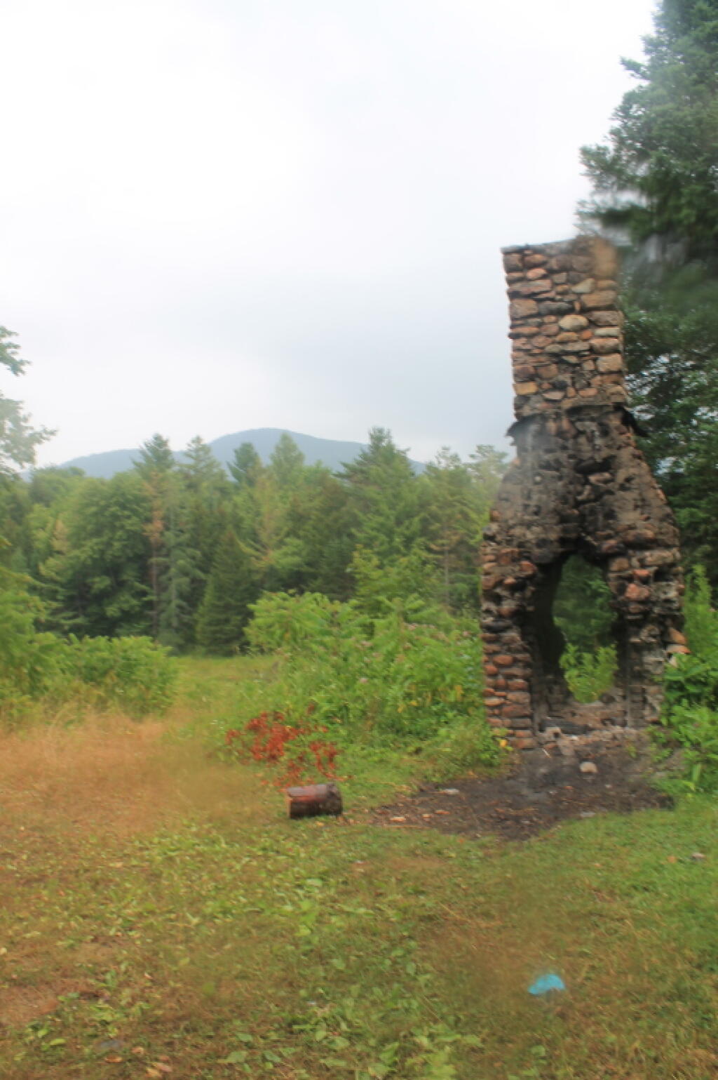
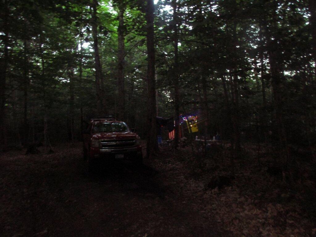
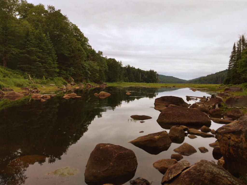
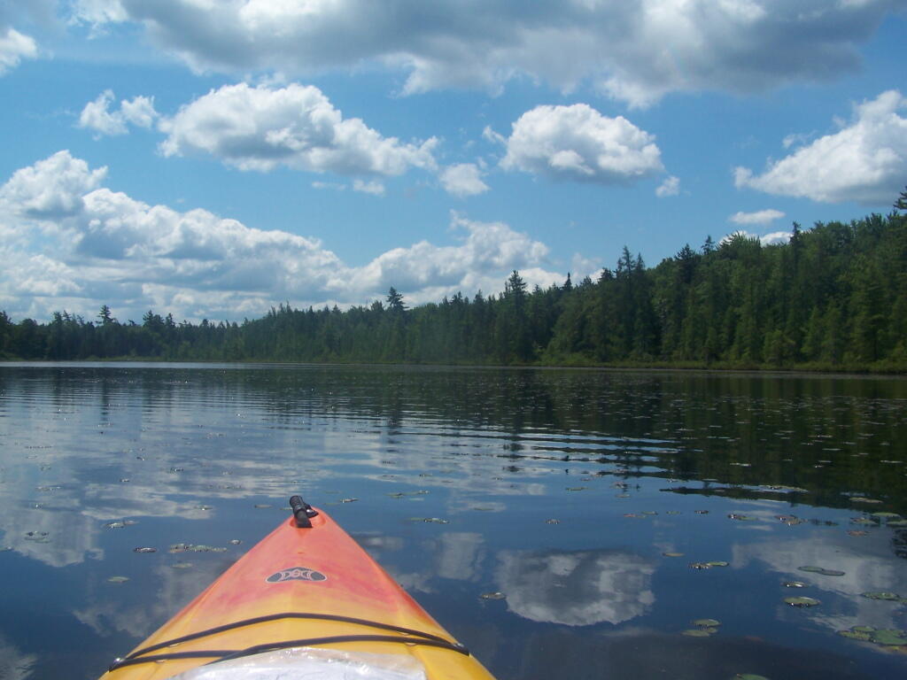
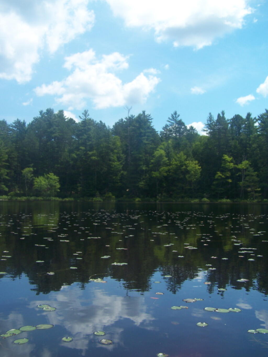
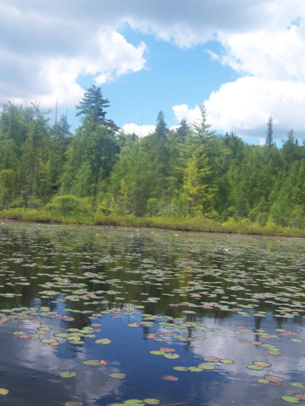
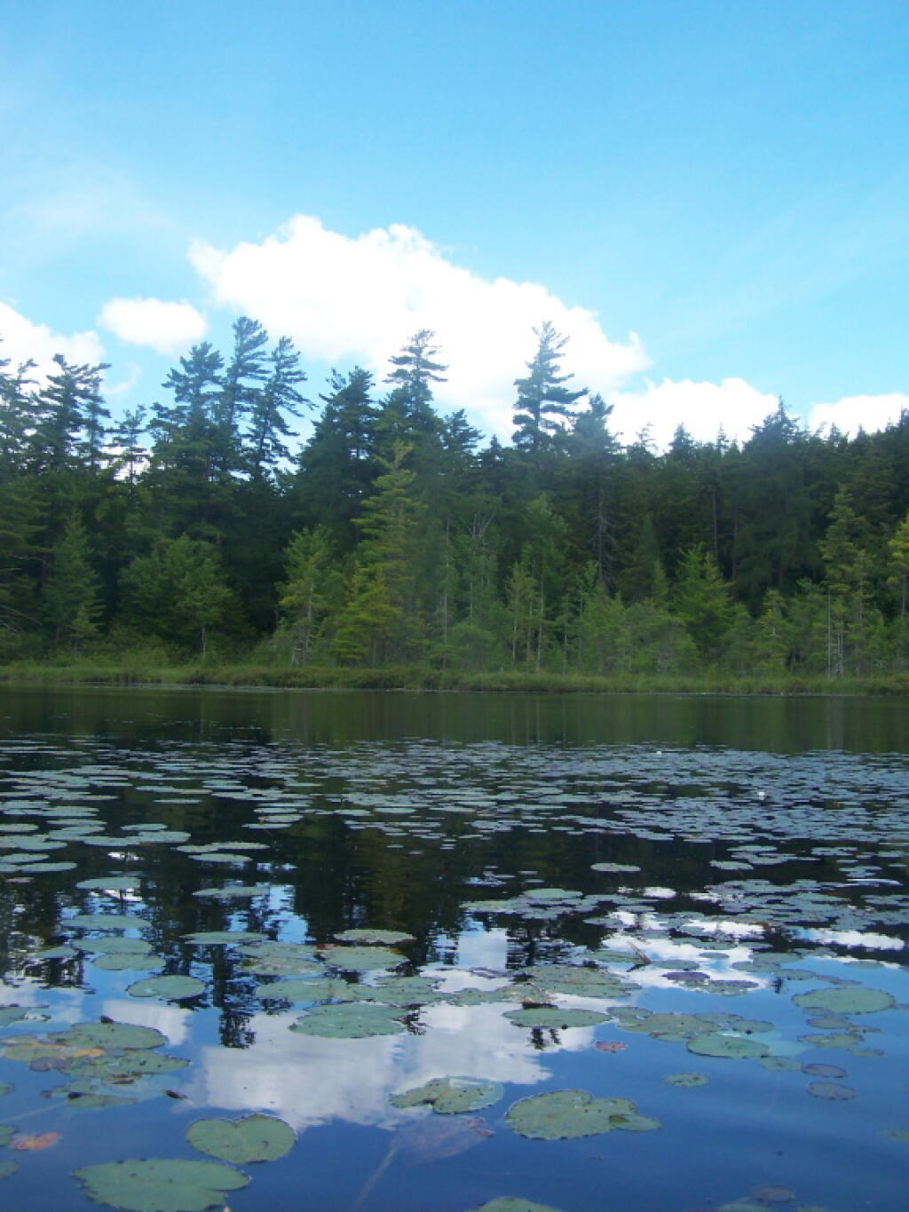
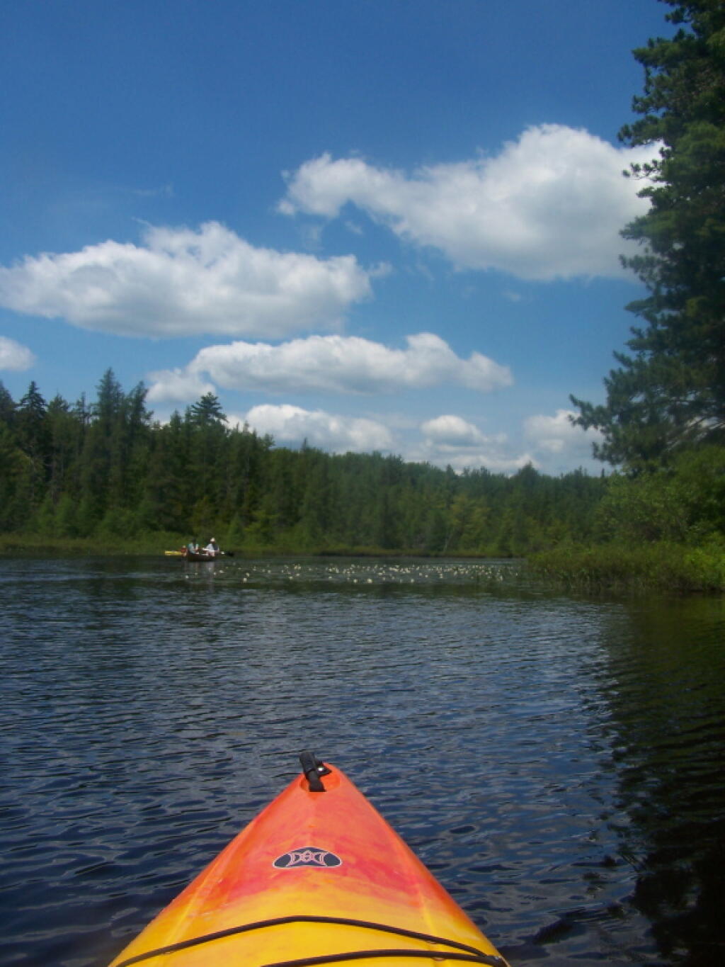
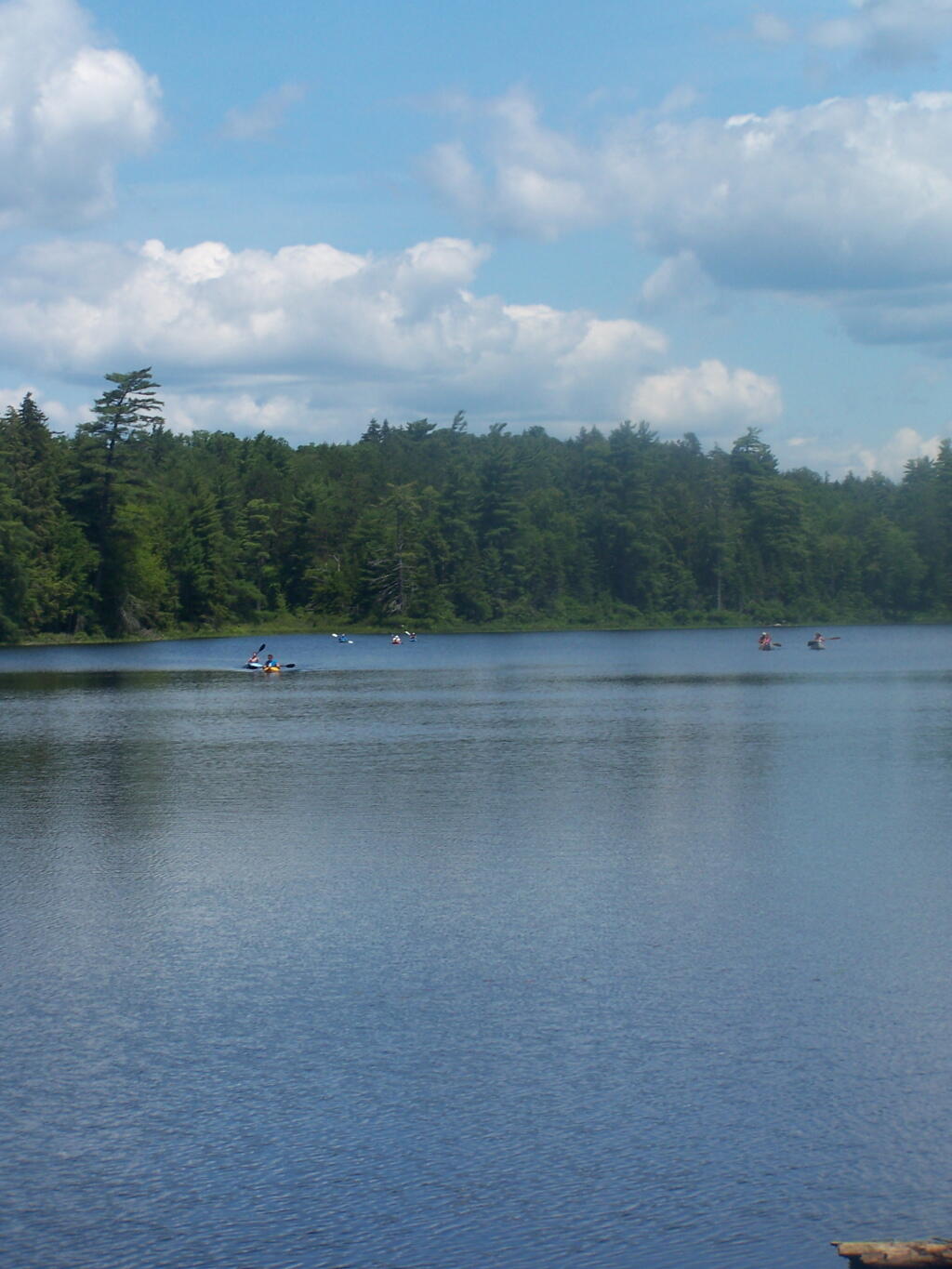
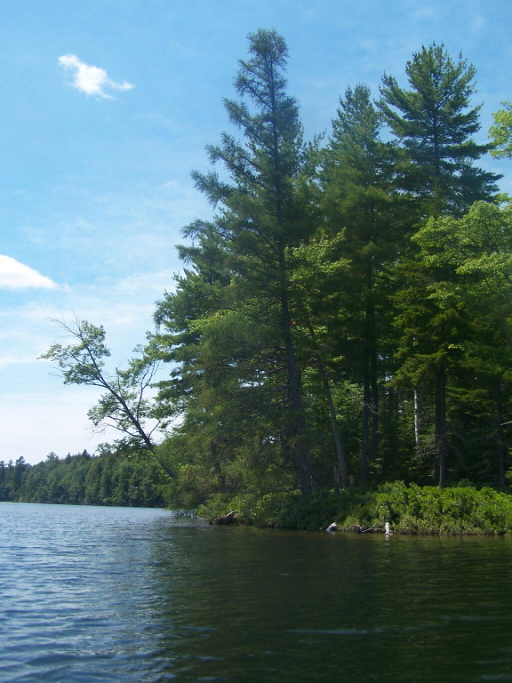
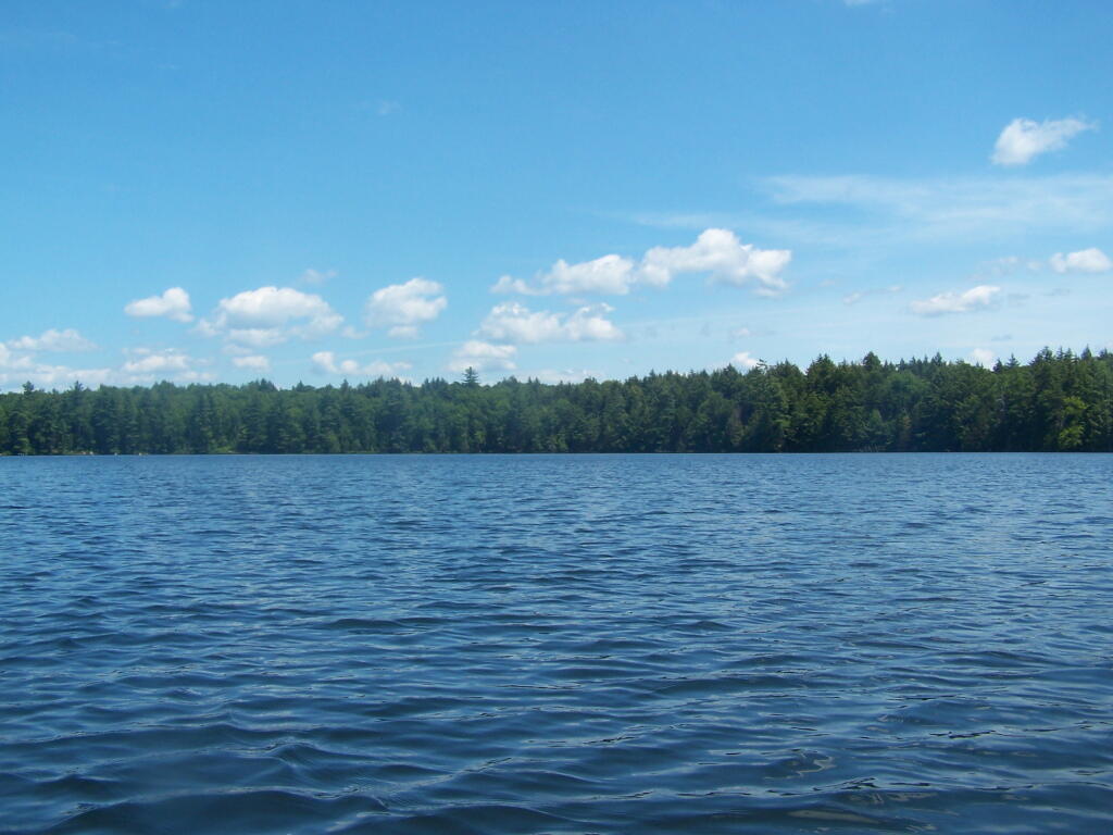
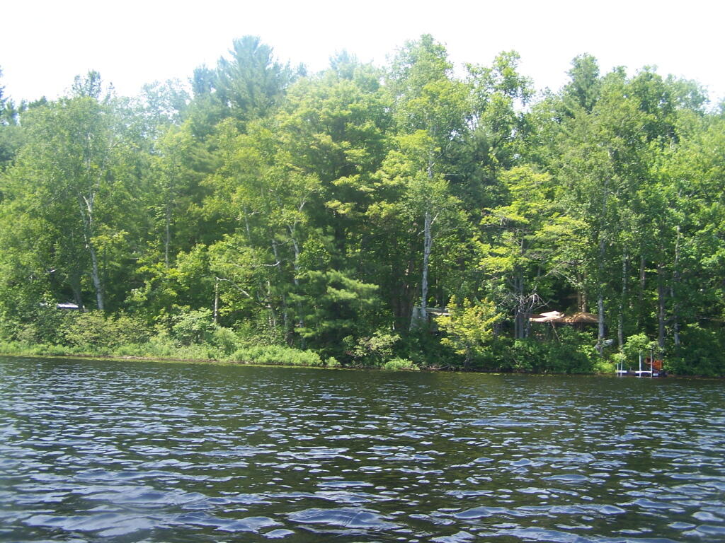
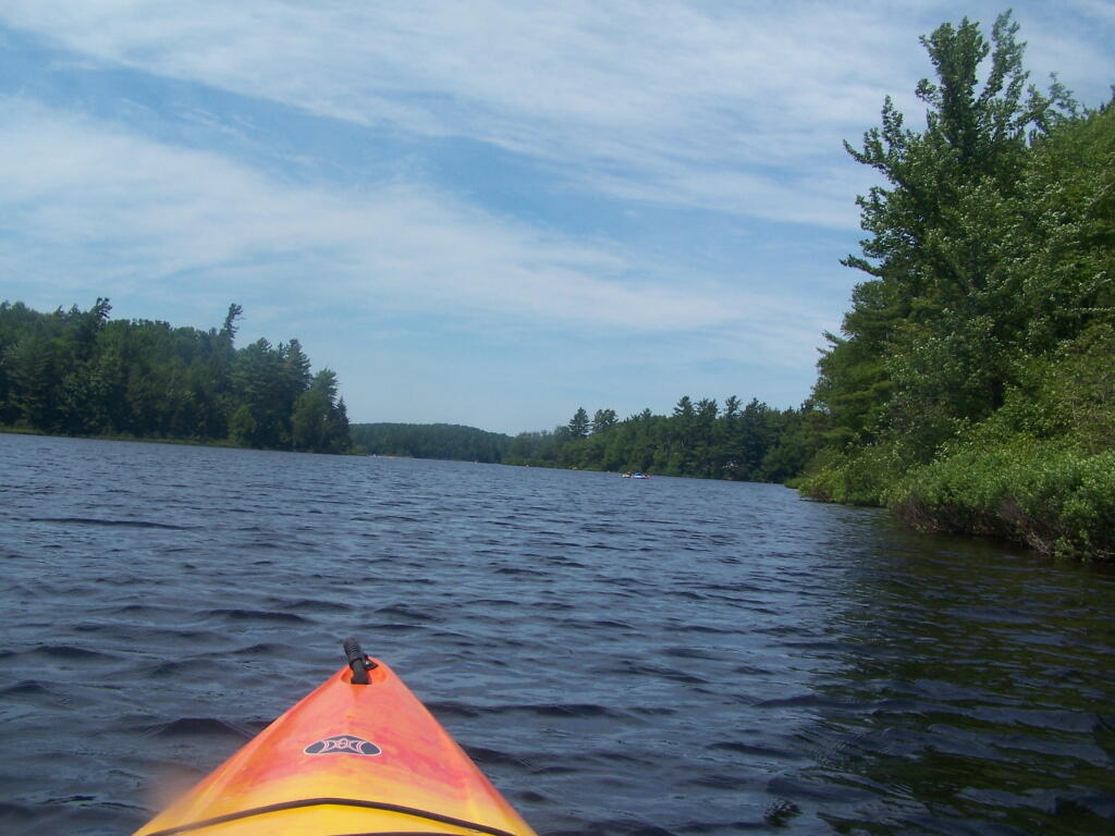
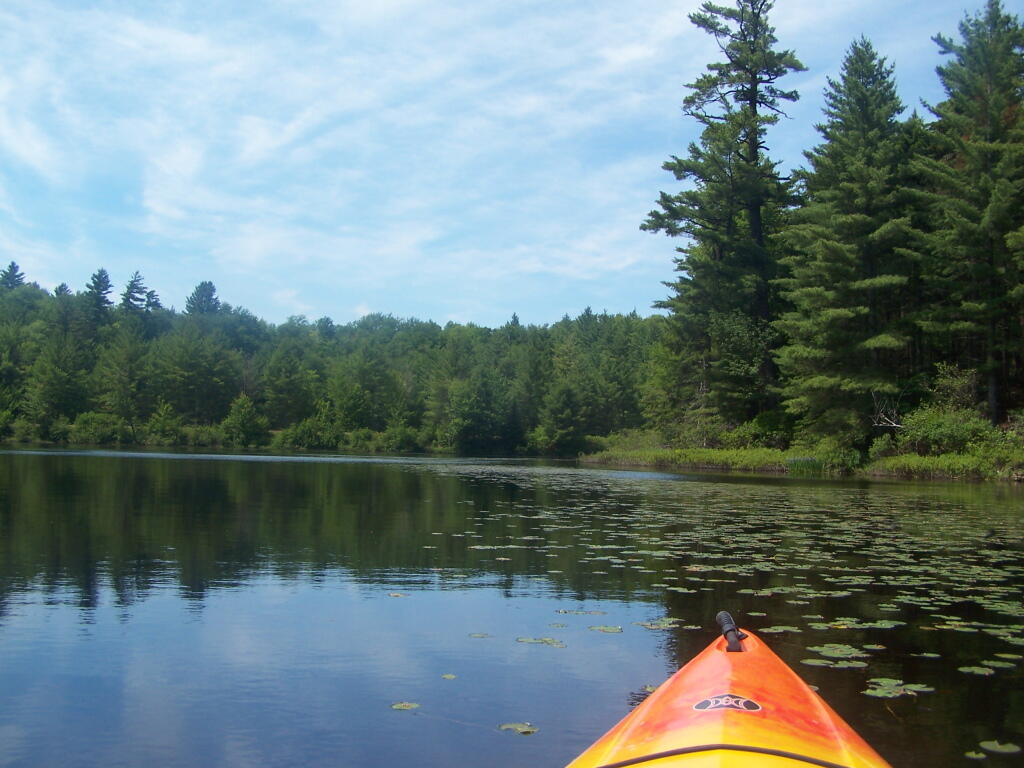
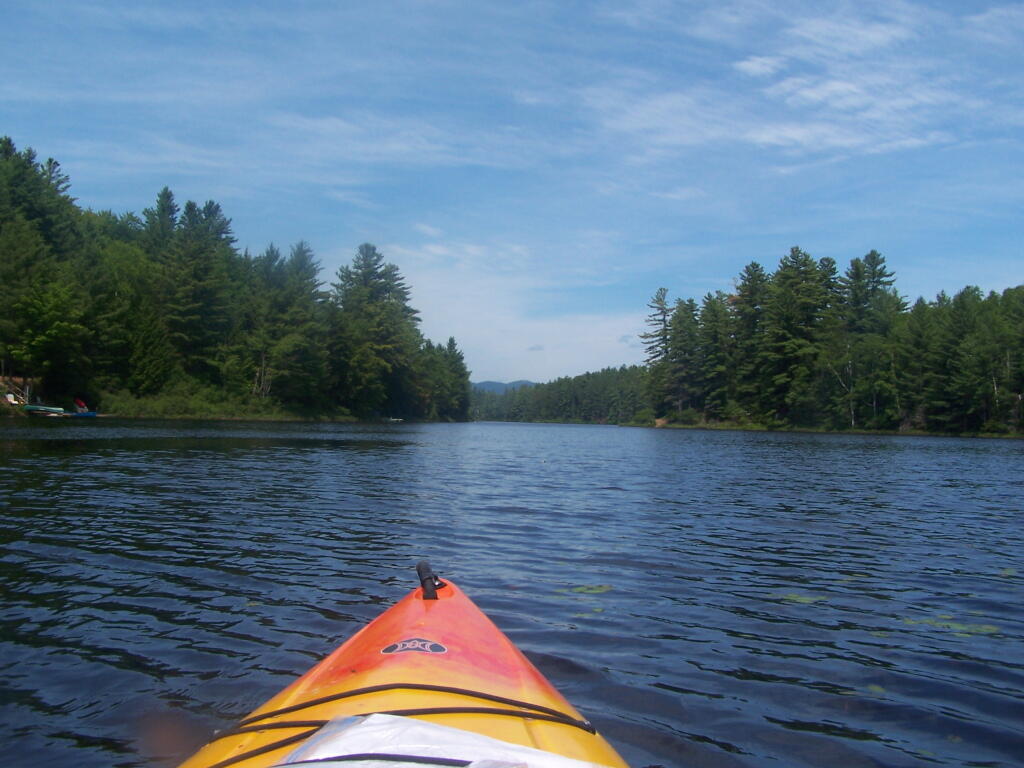
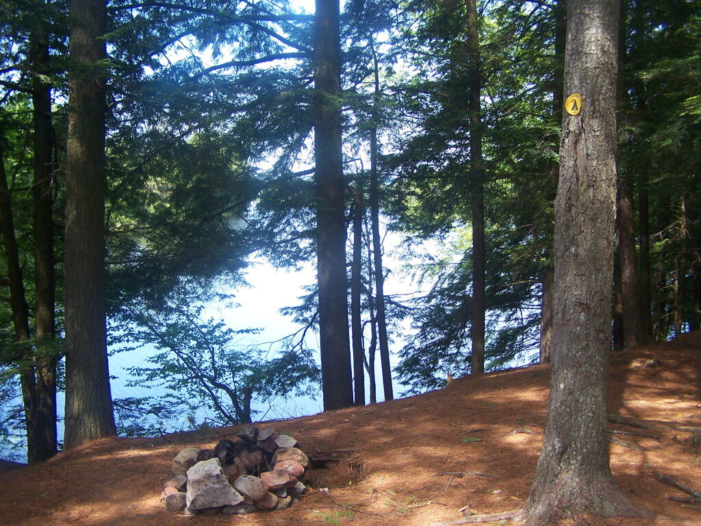
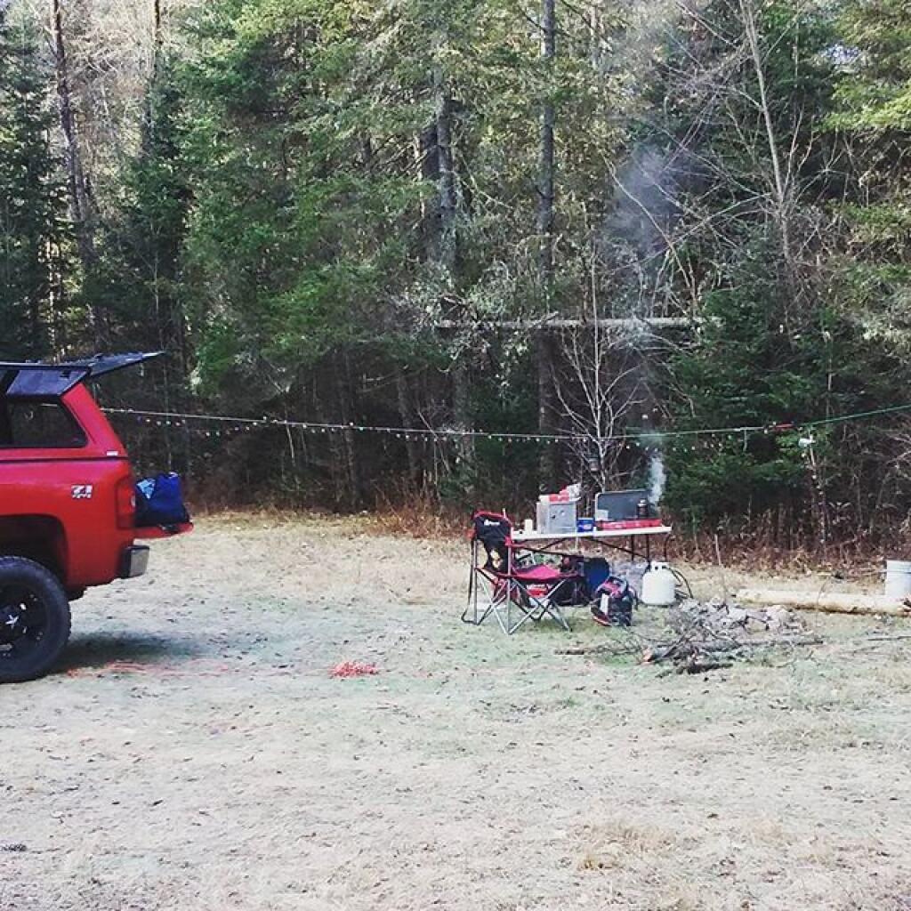
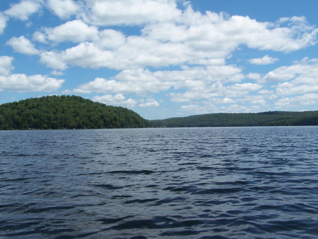
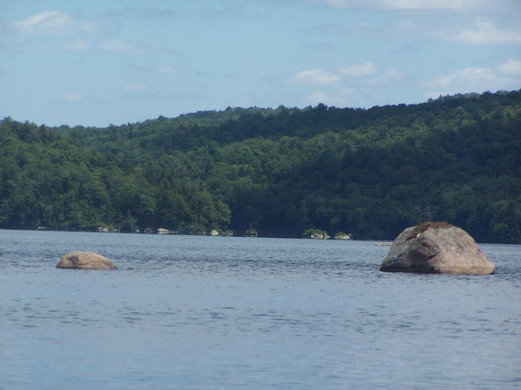
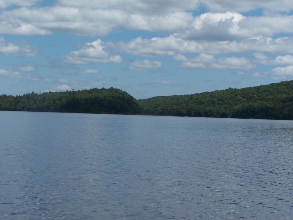
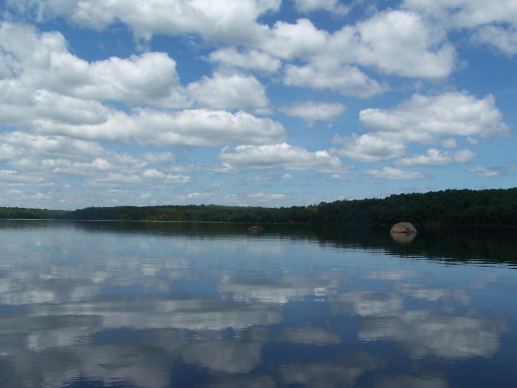
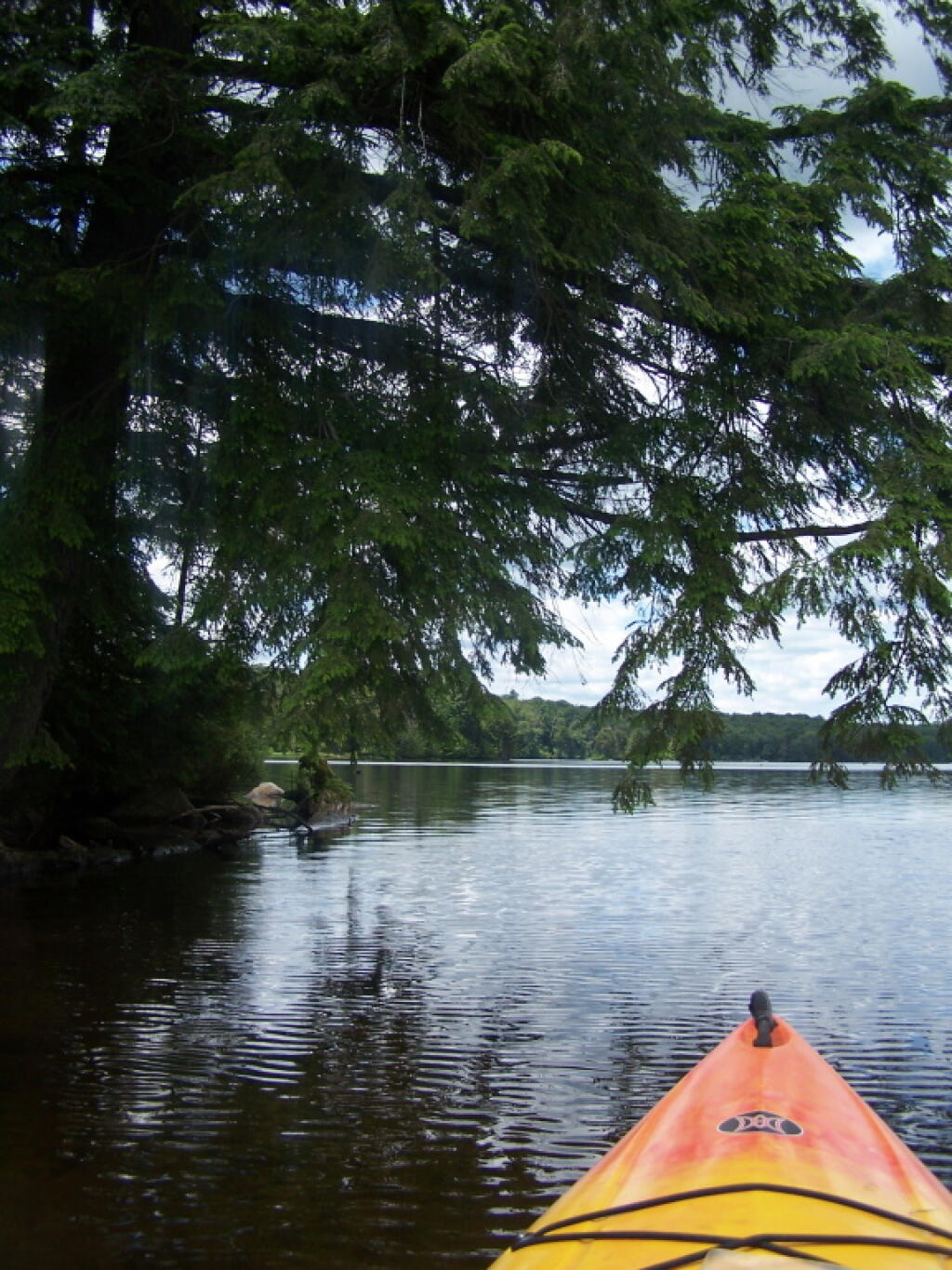
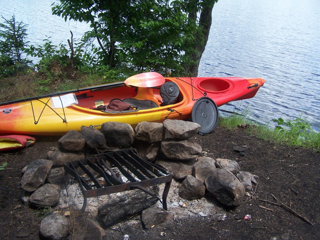
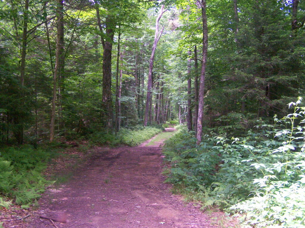
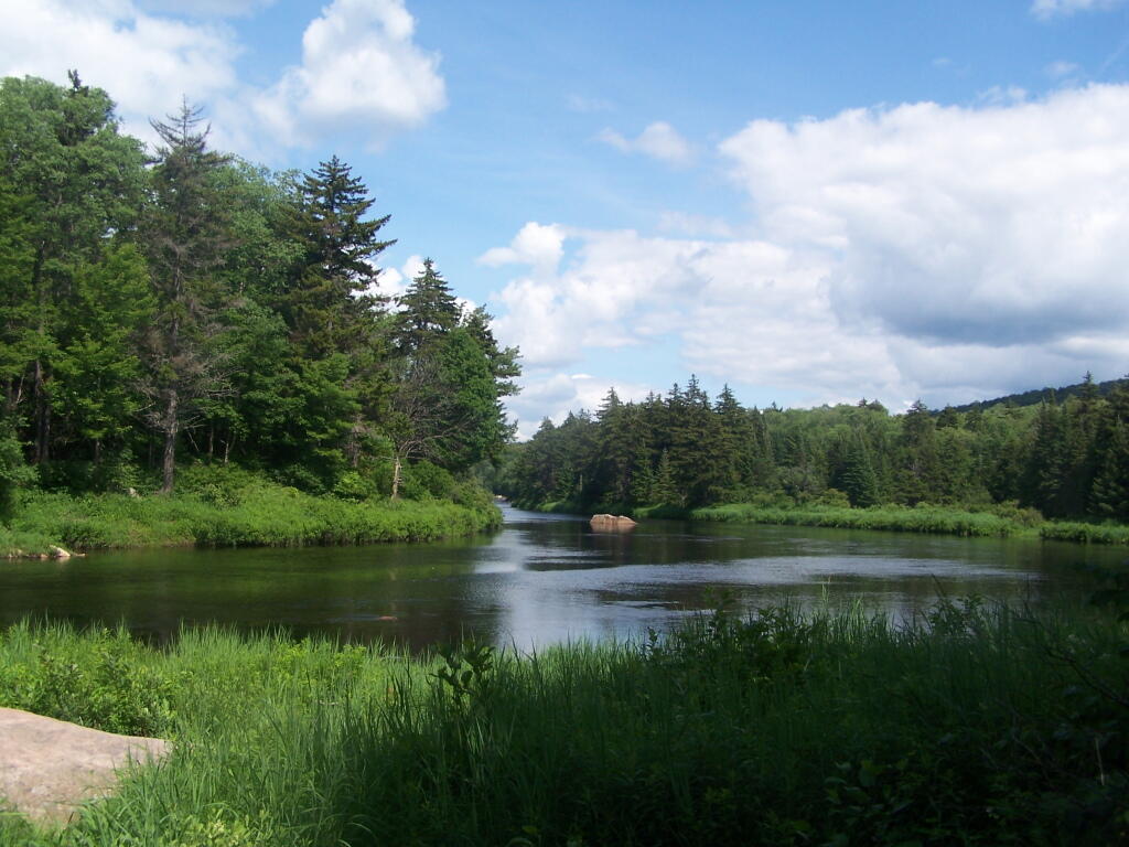
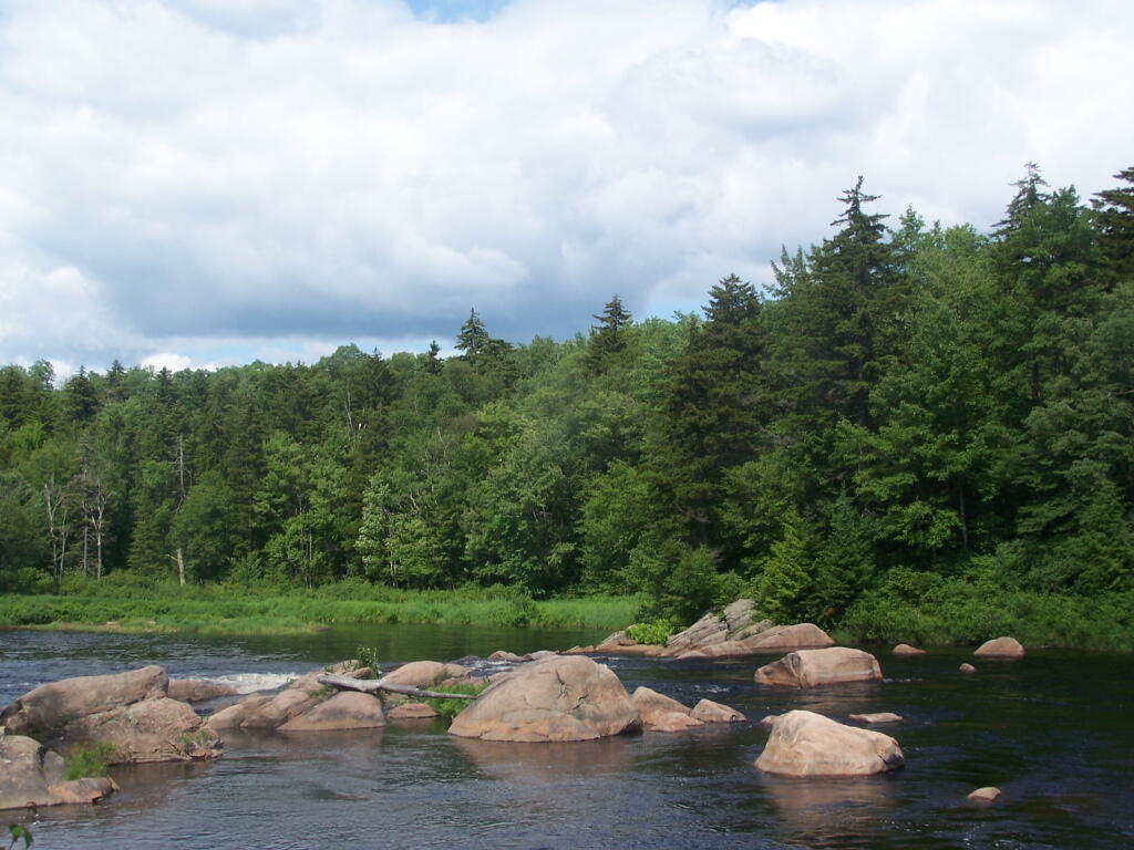
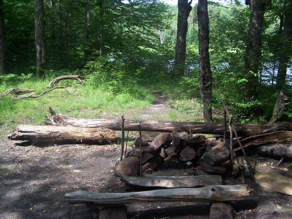
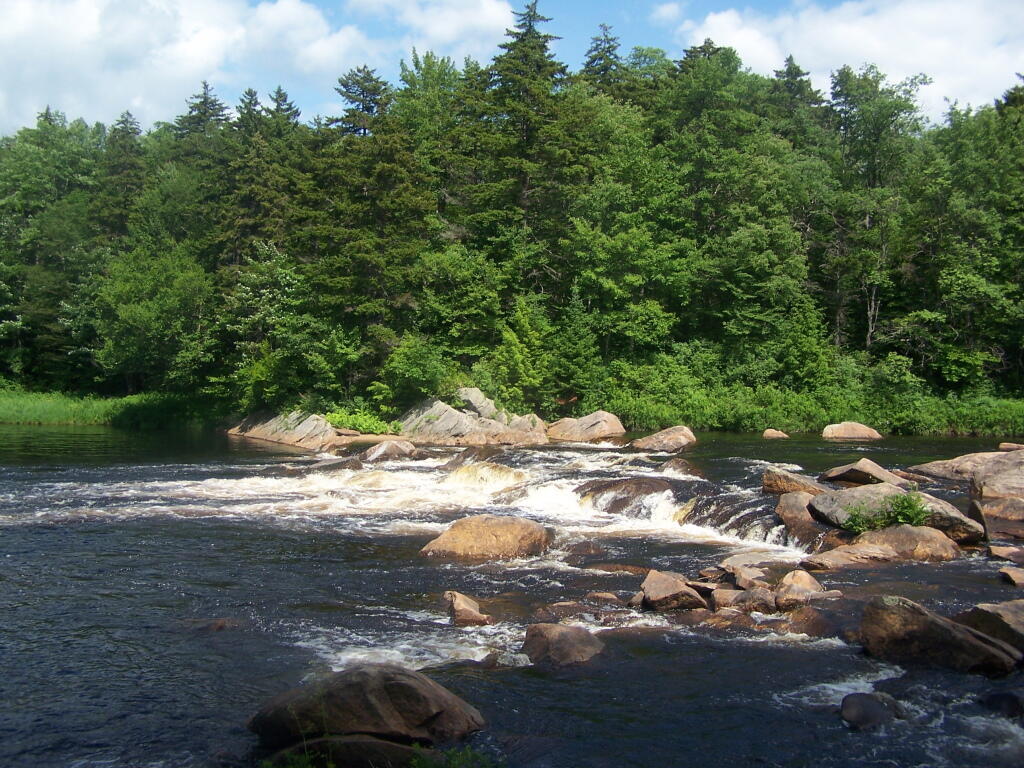
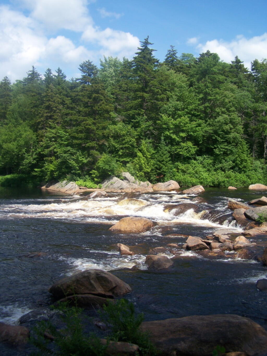
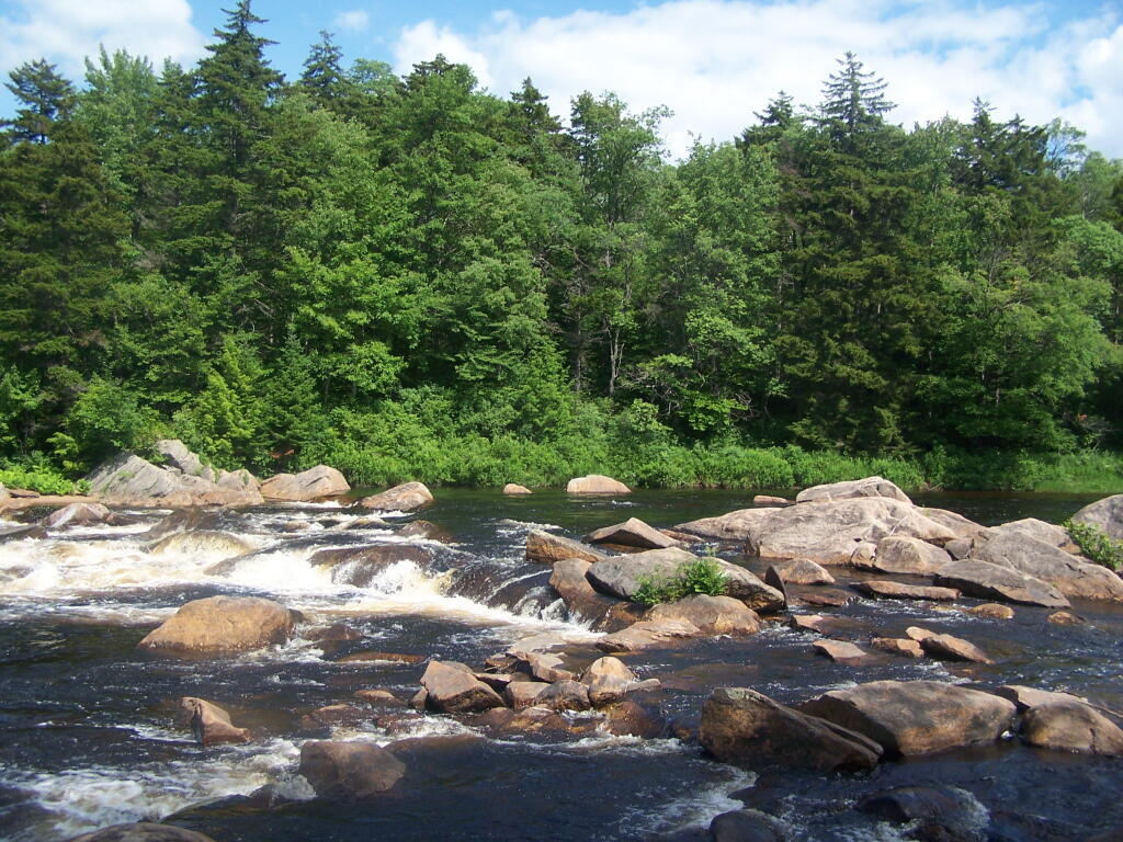
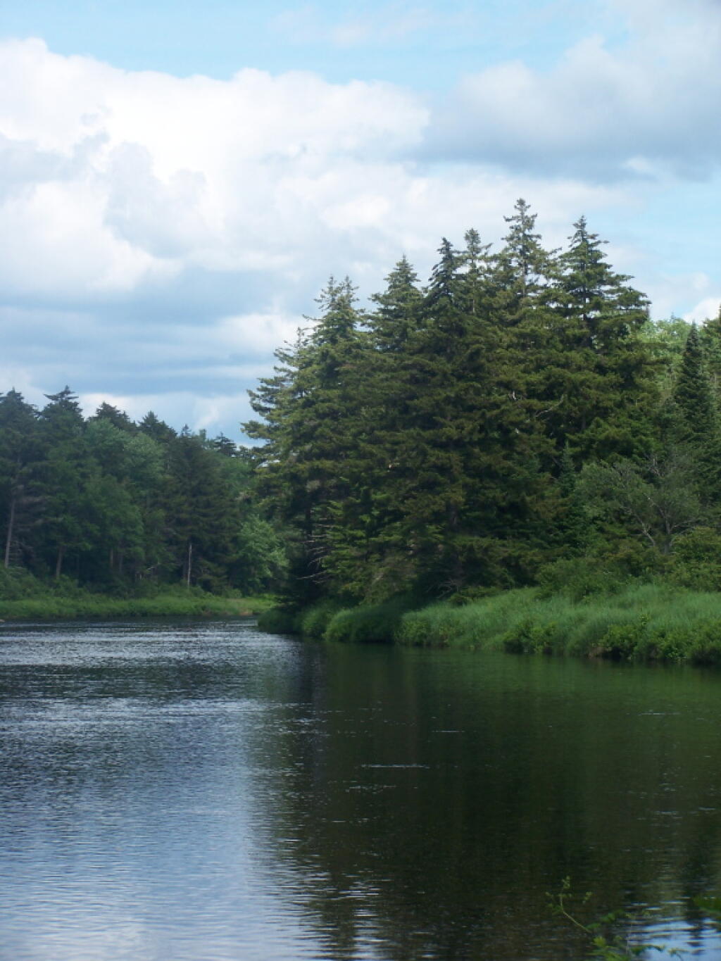
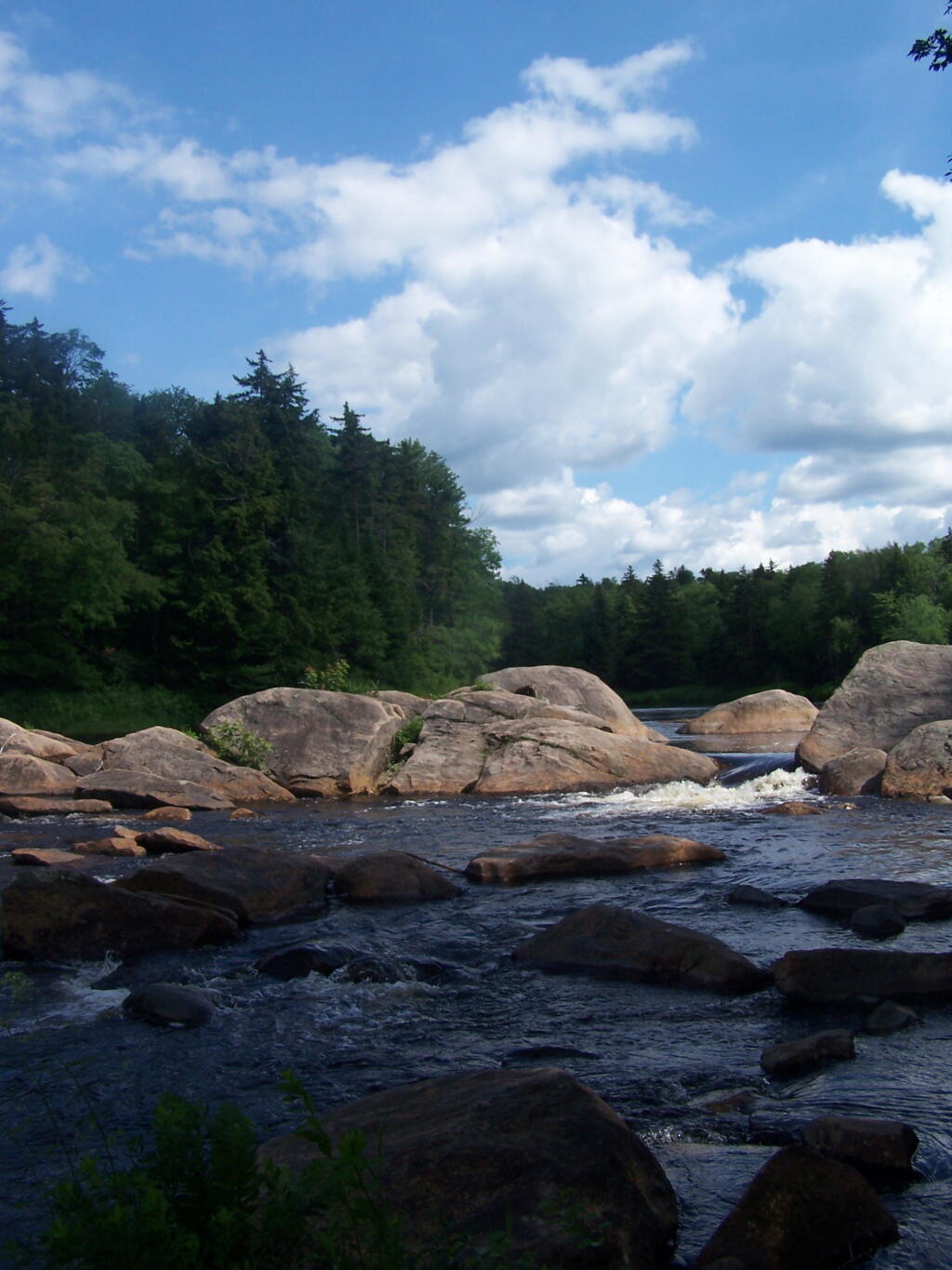
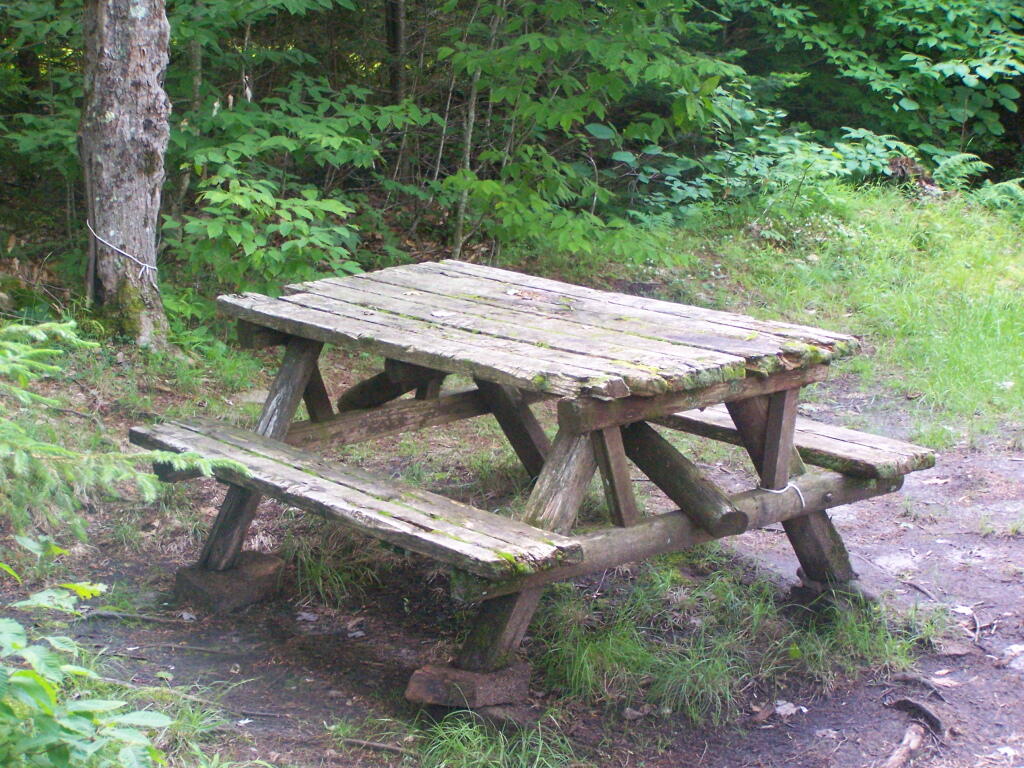
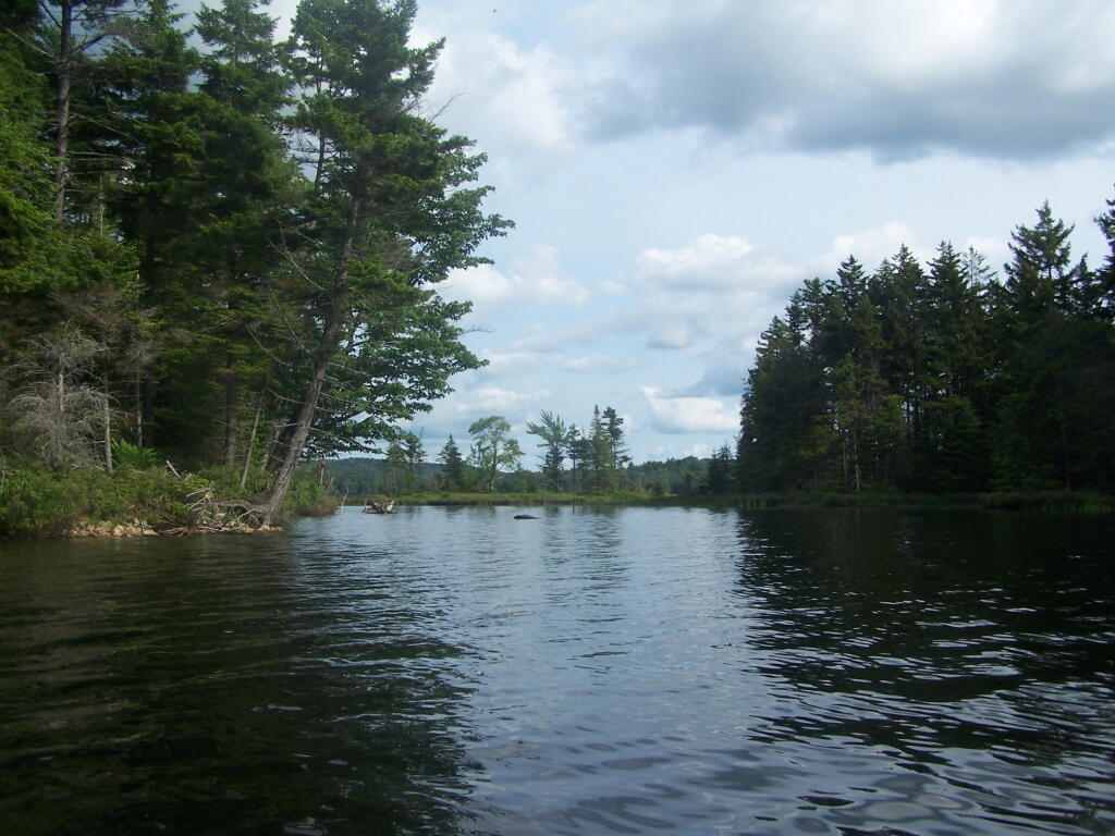
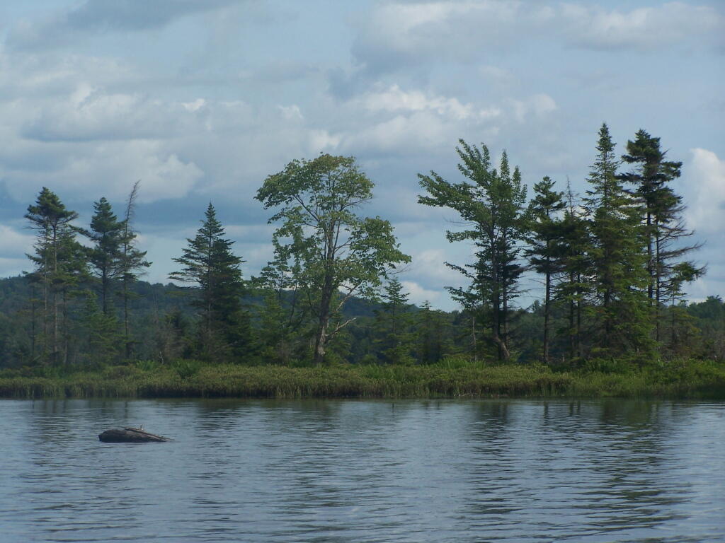
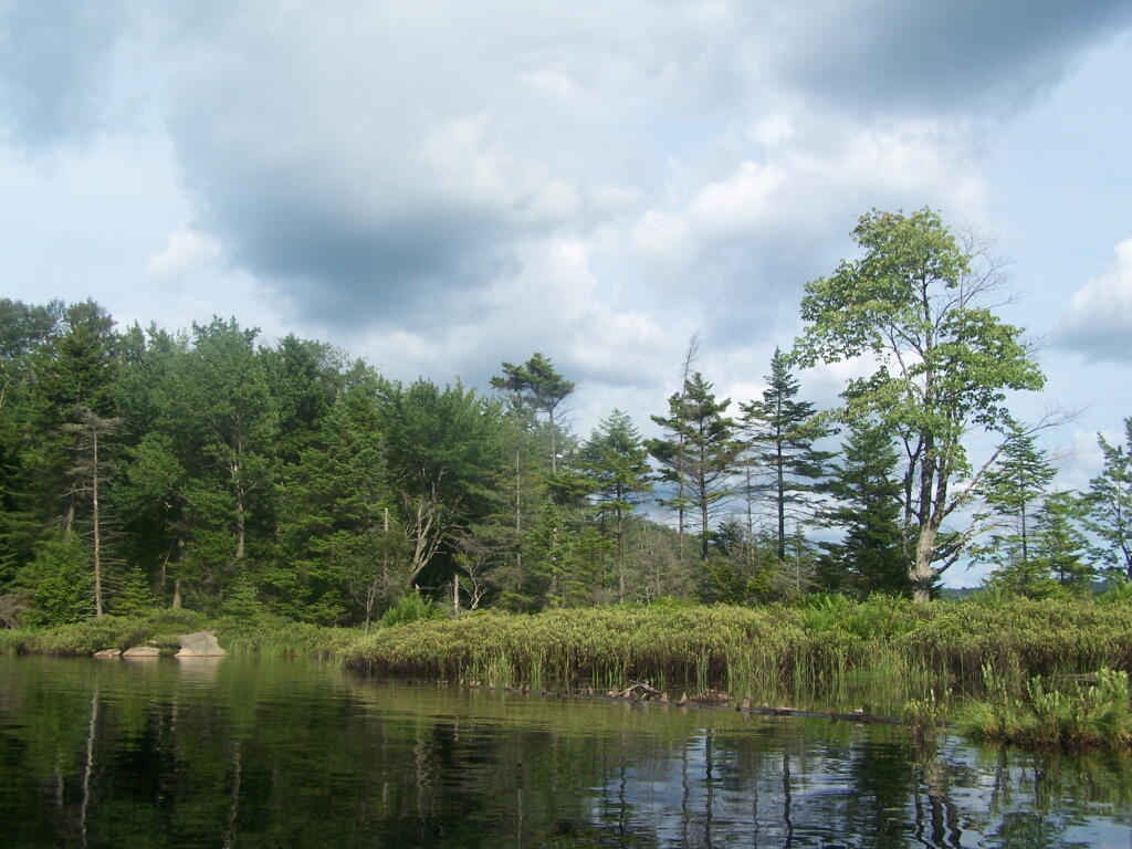
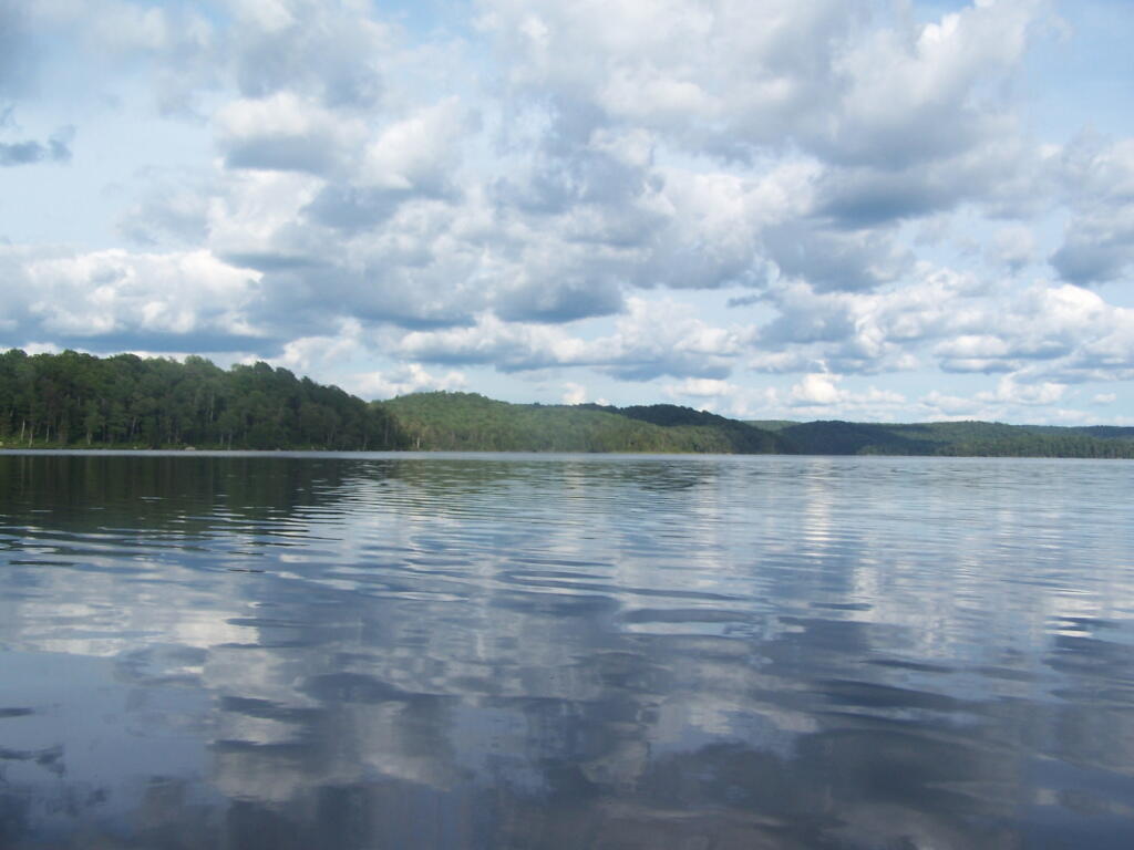
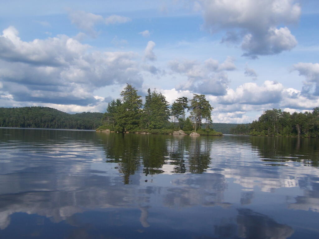
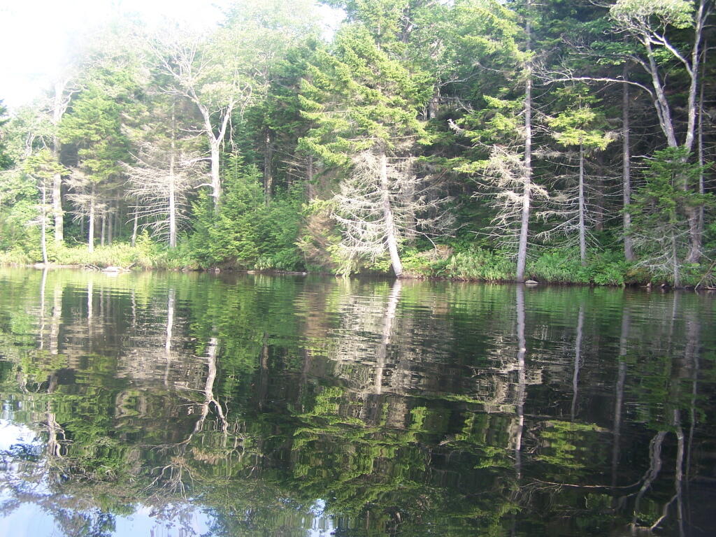
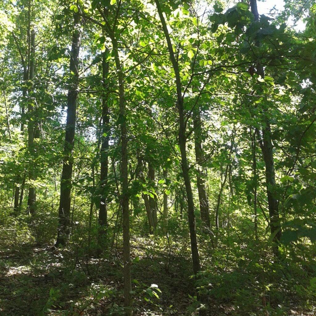
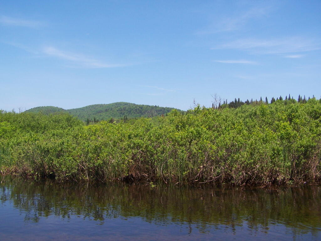
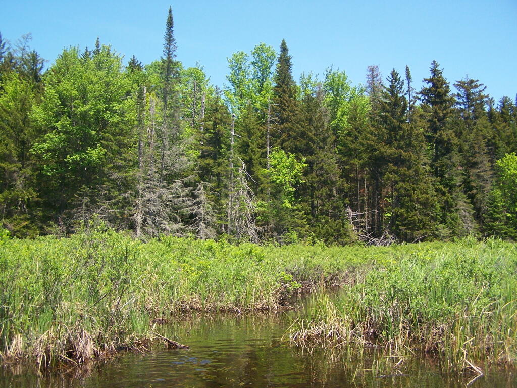
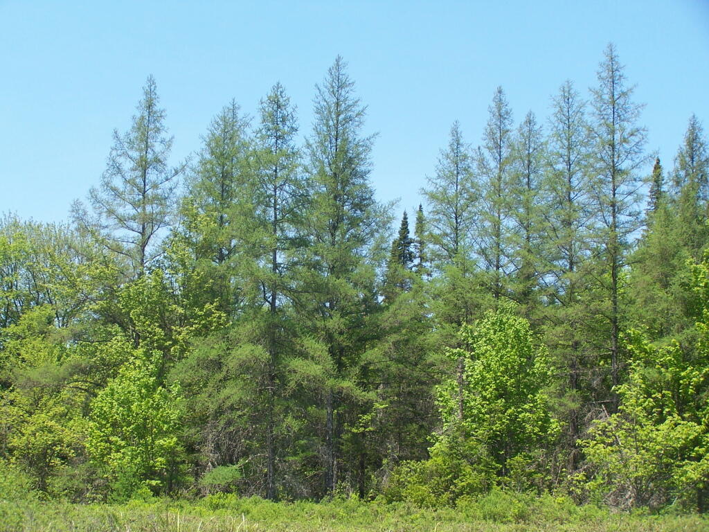
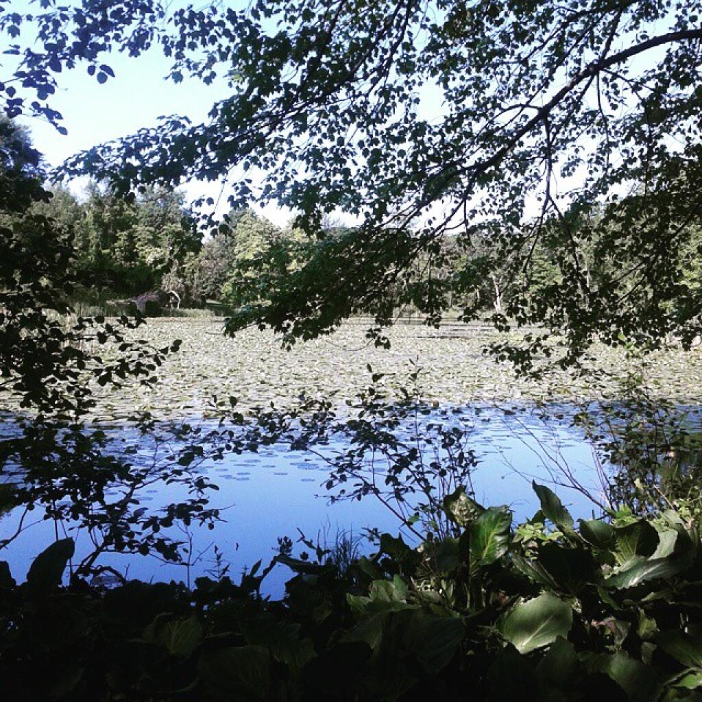
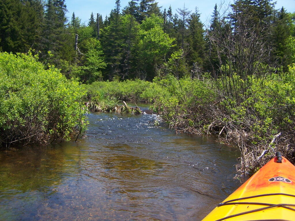
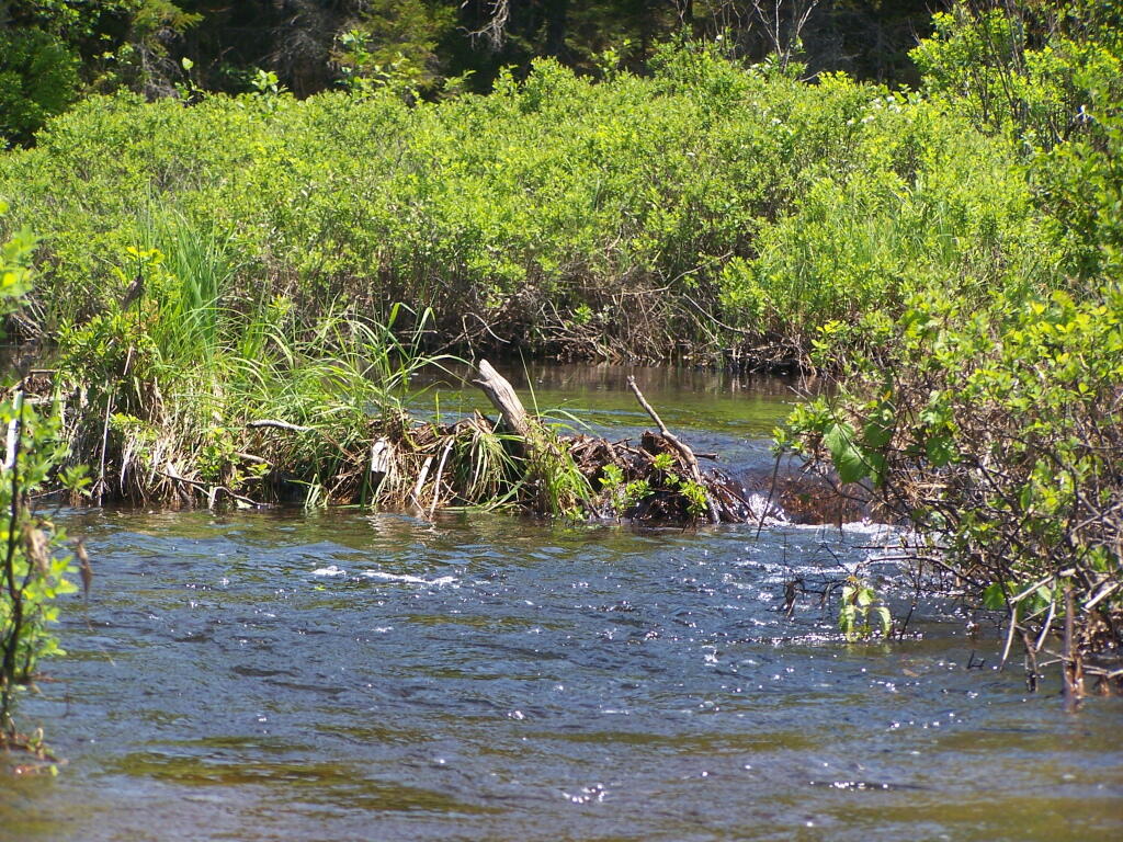
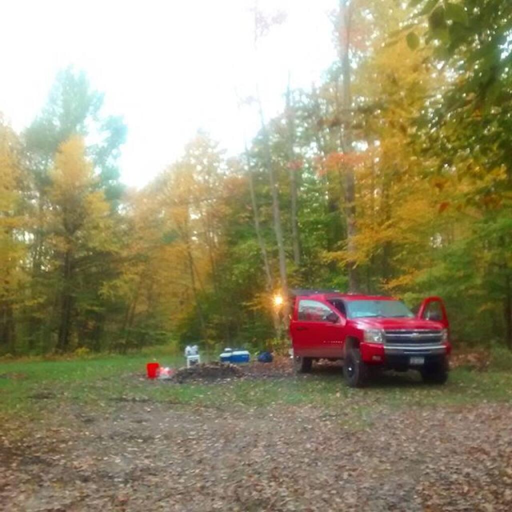
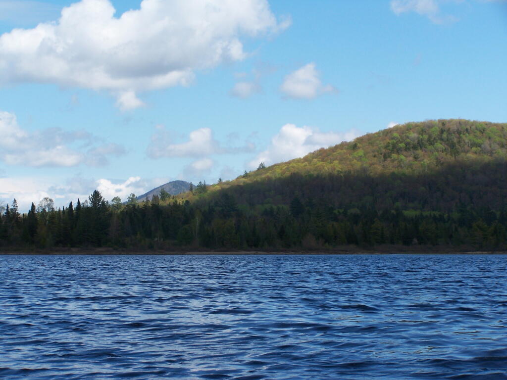
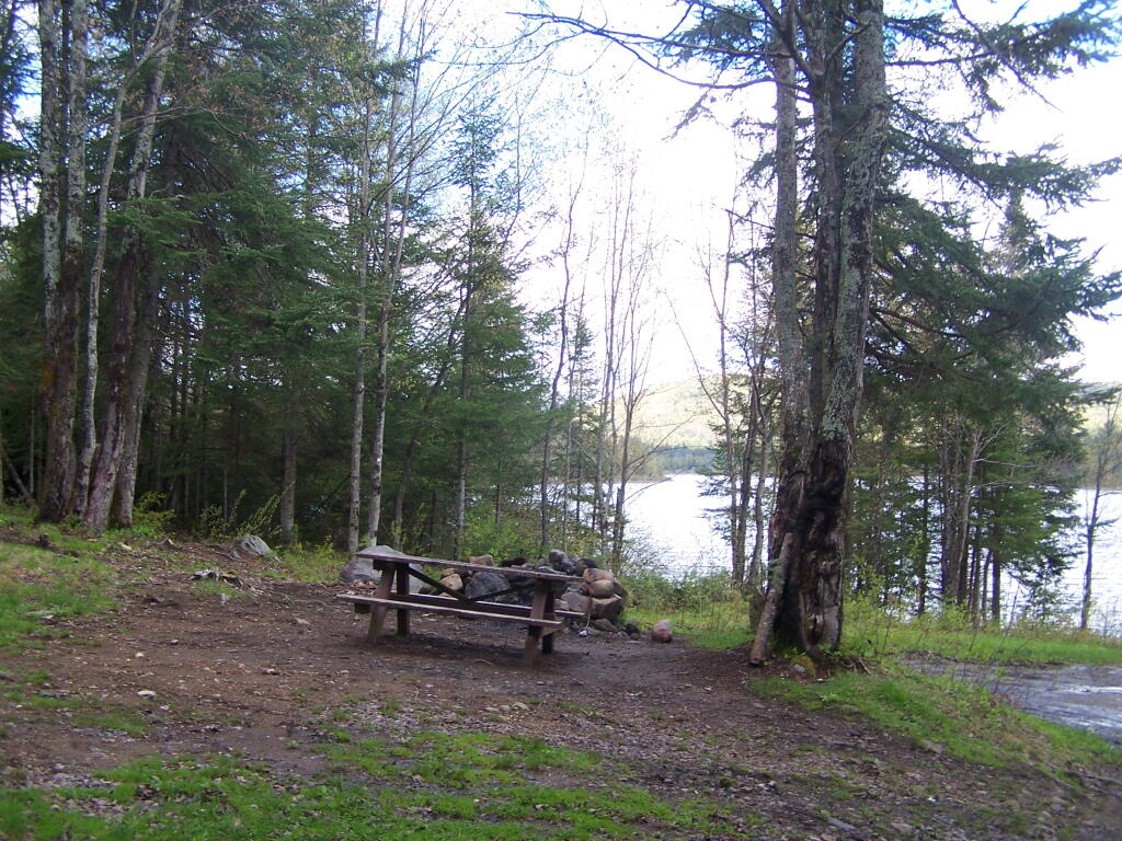
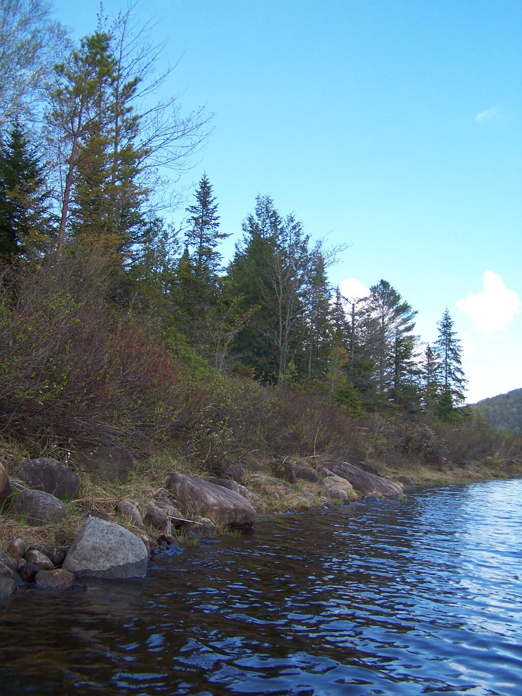
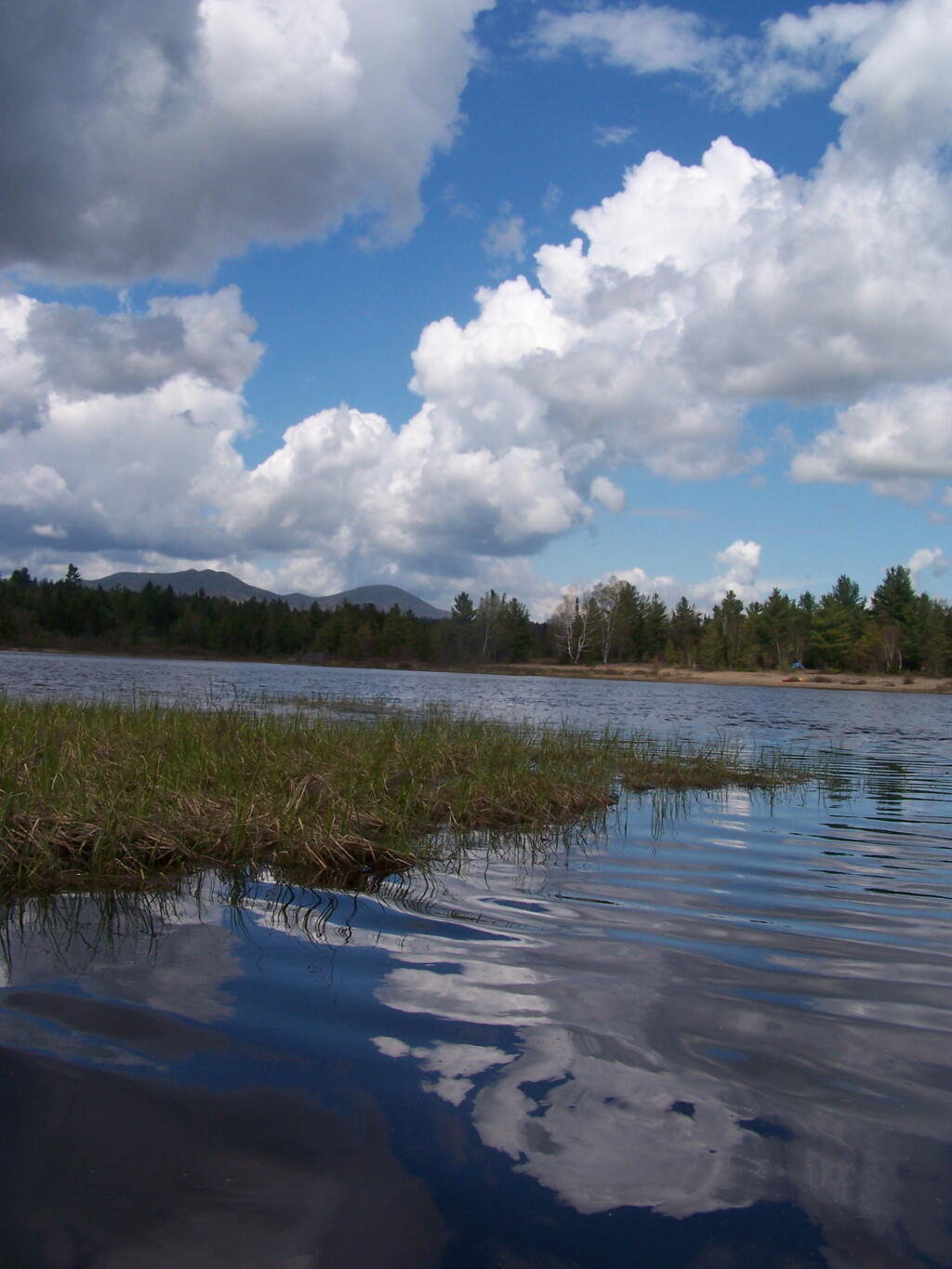
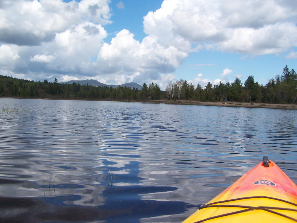
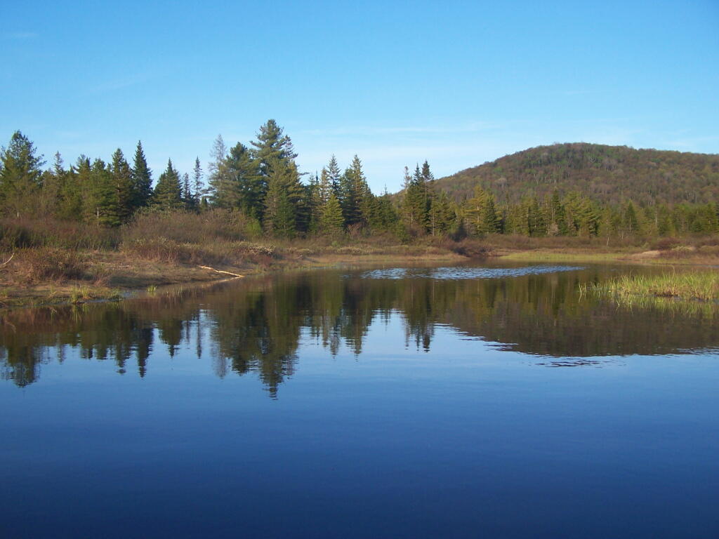
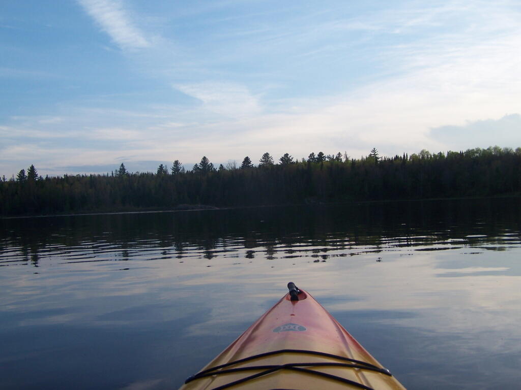
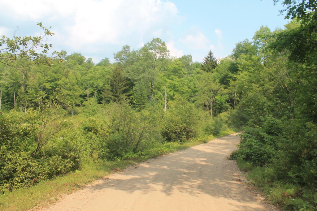
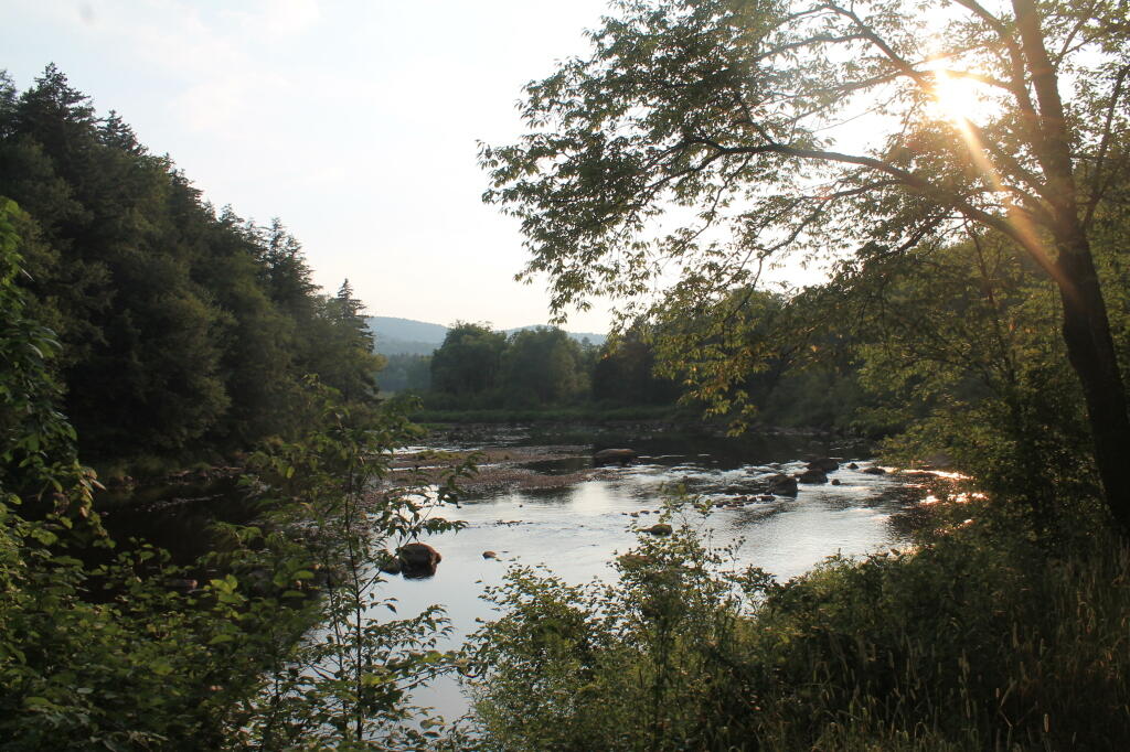
Tonight I write this words on my laptop, camping on West River Road, along the West Branch of the Sacanadaga River. This a beautiful site, soon to be gated off miles in the distance, to supposedly improve the “wilderness” character of this area.

Buck Pond Mountain

Despite the fact that …

The lands of the state, now owned or hereafter acquired, constituting the forest preserve as now fixed by law, shall be forever kept as wild forest lands. They shall not be leased, sold or exchanged, or be taken by any corporation, public or private, nor shall the timber thereon be sold, removed or destroyed.

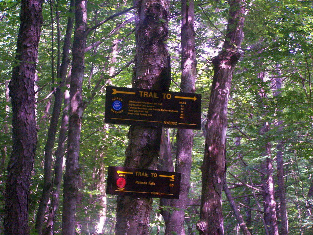
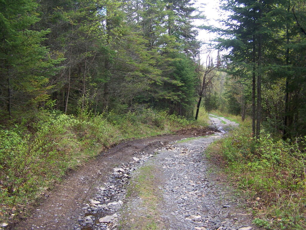
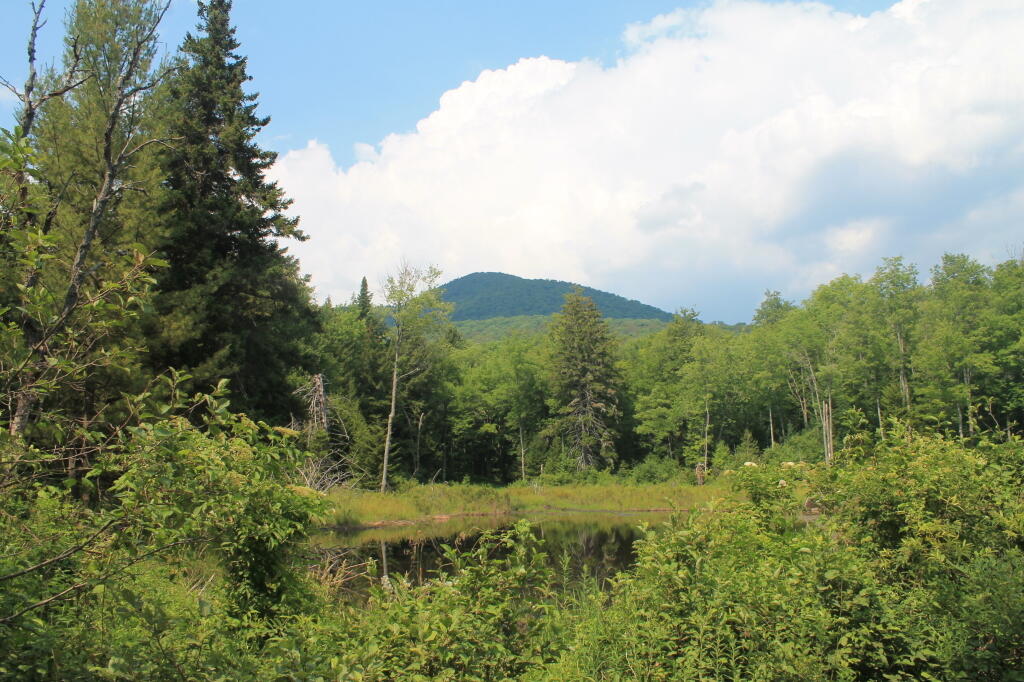
… the Department of Environmental Conservation and the Adirondack Park Agency feels it neccessary to close off West River Road to “enhance” the wilderness quality of the “Silver Lake Wilderness”. West River Road will never be expanded or extended, and it’s unlikely many campsites will ever be added to it because the lands are forever wild, and no tree over 3″ may ever cut.

Whitehouse Road is in Perfect Shape

I am not advocating for paving over the Adirondack Park for strip malls, or running high-speed expressways through virgin forest. I am advocating for keeping traditional, well maintained, roads open, and protecting our remaining roads and campsites in their traditional uses.

Sparking River

Yet, still the DEC finds it’s hands tied due to Adirondack Park State Land Master Plan that dicates the Adirondack Park’s state land must become increasingly restricted in public use, and that more restrictions must be placed on public use β€” less camping, less roads open to the public.

Sparkle

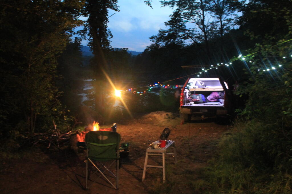
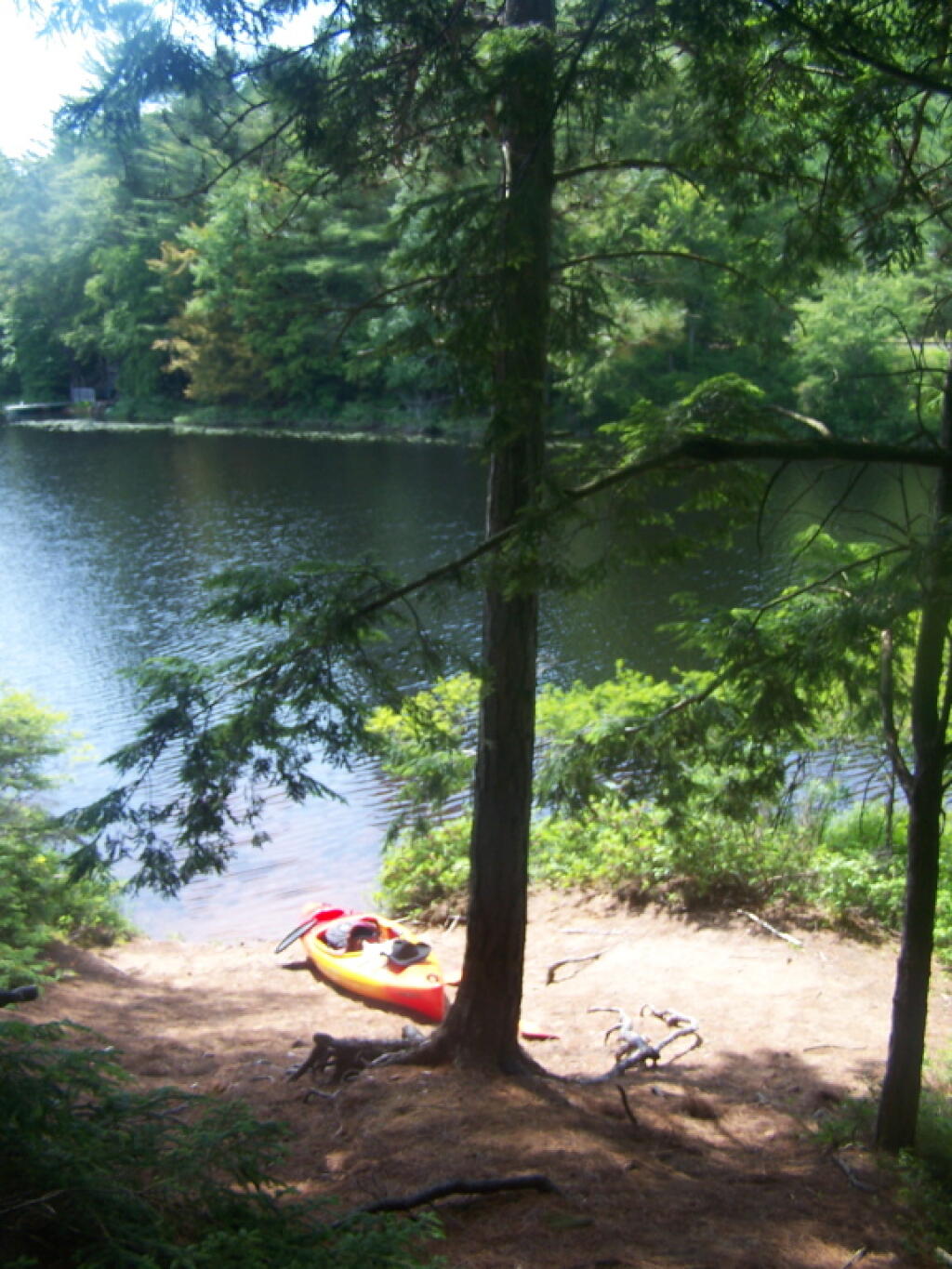
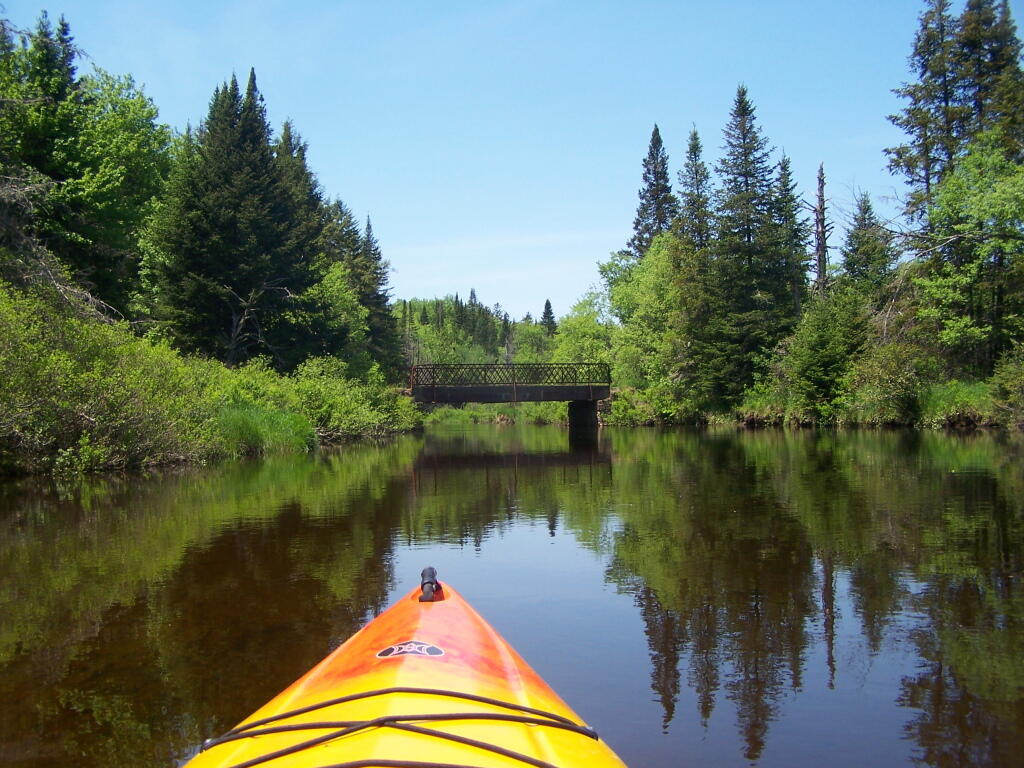
It’s sad, because people like myself liked camping on these lands. While in the future, people will be able to walk on this perfectly good road for vehicular traffic, and backpack into the limited number of campsites, roadside camping might forever be gone from this area. More and more Adirondack Park Roads are forever gone, and unless your willing to backpack in often many miles, these lands will forever be closed off for public use.

Historic Whitehouse Chimney To Be Demolished

How NY State is Connected By Roads

Most times when you look at maps, they contain a lot more information then just roads. Most maps have parks, water bodies, road names and numbers. Lots of data to make the map useful. Yet, that distracts from the main purpose of roads — a circulatory system for the state’s commerce, to allow goods and people to move freely across the state.

As you will see, Highway Systems could almost be maps of human veins and arteries. Terrain plays a role in highway systems, though modern highways can blast their way through almost any barrier, climb any hill, cross any water body, to be fully connected. Highways go where people have historically chosen to engage in commerce.

Expressways, Primary Arteries.

These are the most traveled and most important arteries of NY State, that allow commerce to flow across state. Not too surprising, but shows how cities across our state are connected.

 Clear Morning

Various NY State Cities.

Many Upstate Regions have similar looking arterial systems. There is an urban street grid, then a twisty suburban street grid, with major arterial surrounding the cities, often only partially completed after 1973 when Nelson Rockefeller canceled most major urban highway projects due to the recession and increased concern about urban expressway impacts. The arterial system around Binghamton is particularly interesting, as a reflection of the deep alluvial valleys and rugged terrain that surrounds this relatively small city.

 Autumn Skies

 Dusk

 Queer Lake

Labrador Pond

 Baneberry

Morning walk

Floodwood Loop in St Regis Canoe Area

On a nice weekend, expect many people to be joining you on the ever popular Floodwood Loop in the Saranac Lake Wild Forest. While technically not part of the Saint Regis Canoe Area, this area is considered part of series of ponds that makes up this area, and this loop is the most popular of all the canoe routes in this area.

Big Alderbed

Alternatively, take a look at this Google Map of the loop. Balloons are designed campsites, there are no charge to use these sites. Red lines are portages and other trails.

At around 10 AM I headed out. Bright sunny day, a lot of glare. None of the ponds are paticularly large.

Heading Out on Floodwood Pond Loop

The Fish Creek between the ponds is quite narrow, and don’t be surprised if you hit some traffic. In parts the current can be fairly swift, although one can still paddle up or down stream with relative ease, just avoid the other boats.

Fish Creek

Heading Into Little Square Pond

Little Square Pond

Bright Day on the Lake

Spatterdock on Fish Creek

Coppreas Pond

Heading Across Coppreas Pond

Traffic on Coppreas Pond

Canoe Carry to Whey Pond

There is a 1/4 mile portage between Copreas Pond and Whey Pond. Despite being mostly sandy soil, with some roots, do NOT drag your kayak, if you want to avoid putting holes in it, as I learned the hard way.

Poliwogs on Whey Pond

Trees Along Whey Pond

Out on Whey Pond

Paddling Across Whey Pond

There also is another short portage over a road, and through the Rollins Pond Campground, after you leave Whey Pond.

Passing Rollins Pond Campground

Heading Across Rollins Ponds

Traffic on Rollins Pond

Past Swimming Beach at Rollins Pond

Narrow Passage Between Rollins Pond and Poliwog Pond

Back Out on Floodwood Pond

Towards St Regis Mountain

St Regis Mountain

Parked a Campsite on Floodwood Pond

Designated Campsite on Floodwood Pond

Private Kayak

Small Island

Heading Back Into Shore

Overview of the Saint Regis Canoe Area, including other ponds and all of campsites.

At the Shore

And if you prefer roadside camping with a trailer or pickup truck cap, take a look at these sites.

… I hope you enjoyed these pictures and maps from the Floodwood Loop.

Kayaking Woodhull Lake

To get to Woodhull Lake, you have to take McKeever Road from NY 28 in McKeever (1/2 mile before it crosses the Moose River, then drive back about 6 miles on a dirt truck trail known as Wolf Lake Landing Road. You put in at Wolf Lakes Landing, which is named after one of the lakes that Woodhull Lake covered when it was dammed up to form a larger lake to provide water supply to the Erie Canal.

 Woodhull Lake

While the road is fairly well maintained one-lane gravel truck trail, one creek crossing is a bit eroded from the rains of 2011. There are roughly 6 designated roadside campsites along the road, with minimal to no facilities that you can camp at. You can drive all but an 1/8th of a mile up to Woodhull Lake, where the road is gated off, from there you have to carry your kayak or canoe to the lake on the gravel road. Consider using wheels on your kayak to assist on this portage.

Here is a map of Woodhull Lake. Consider clicking on it, for a high-resolution map that you can print up, put in a plastic bag and use on the trip like I did. It works really well like this, and I think this map prints out to be nice and high resolution, especially if you have a color printer.

Heading Out to Woodhull Lake

Beautiful Morning Out

Camp

Boulder Sticking Up in Lake

Past Remsen Point

Trees on Remsen Point

Big Island

Boulders in the Lake

Another nice evening in America's most ethical capital

Big Island

Reflections

Passing Under a Low Tree

Motor Boat

North Side of Lake

Parked at Woodhull Lean To

Inside Woodhull Lean-To

Large Lean-To

Lean-To from Lake

Remsen Falls Trail

Intersection of Woodhull Mountain Trail and Remsen Falls Trail

Wilcox Lake

Campsite 1 at Remsen Falls

East on Middle branch of Moose River

Above Remsen Falls

Campsite 2 at Remsen Falls

Remsen Falls

The Falls

Falls

Along Moose River

Whitewater at Falls

Water

Decent Picnic Table at Campsite 2

Remsen Falls Signs

Later in Evening On Lake

Island on the Lake

Behind the Island

Trees on Island

Exploring Back of Island

Clouds in Evening

Clouds in Evening

Doe and Fawn on Lake

Keeping an Eye on Me

Another Island

Reflections

East Canada Creek at Powley Place

Here are two different maps of Powley Place, the portion of the East Canada Creek that is navigable for a couple of miles, bar the beaver dams you’ll either have to portage around or go right over.

Not all public restrooms are closed in New York

Hector Falls from Seneca Lake

 Spruce Along East Canada Creek

Daisy

Green

Big Alderbed Mountain

Twisting Through West Branch

Made It Over That Beaver Dam

Trees Along the West Branch

Summer

Frothingham Lake

Up We Go ..

Looks Bigger Then It Appears

Feet on the Deck

Reflections

Powley Place Bridge on a Sunny Day

Reading than fishing later

Beaver Lodge On Banks

Cheney Pond

Cheney Pond Road is a dirt road off of Boreas Road, about 15 miles east of Newcomb. It is a rough road, with the pass year’s washouts, don’t try it without a truck. It will take you a rather pretty lake and damed up river you can paddle around.

Washed Out Section of Cheney Pond Road

Here is a printable map you can click to see full size then download.

Good morning from camp!

And now down as Cheney Pond…

Towards Sand Pond Mountain

If you want to spend the night, you can roadside camp at a site with a picnic table and outhouse, tent camp at an “informal” campsite with a fire pit near the lean-to or camp in the lean-to. None of the campsites at Vanderwhacker Wild Forest have “Camp Here Disks”.

Road Campsite at Cheney Pond

Cheney Pond Lean-To

Heading out on the lake in the kayak…

Back Out at Cheney Pond

Along Edge of Cheney Pond

Cheney Pond Outlet

Sandy Bank of Cheney Pond

Exploring Marshy End of Cheney Pond

Looking Up at the Clouds

Looking Towards the High Peaks

Across Cheney Pond

Back Out at Cheney Pond

Flat Edge of Lester Flow

East on Cheney Pond

Setting Sun at Cheney Pond

Heading Back As Darkness Approach

A Fork in the Road

Lately it seems like I’ve be coming to many a fork in the road. It seems like they come much too quickly and frequently, and I often do not know which one to take. Do you go left or right? Which is the right way to go and which is wrong?

It’s frequently not clear. If there where signs to direct you along the way, the signs have long since disappeared. They’ve been stolen, because others didn’t want you to follow in their path. They wanted you to make up your own decisions, and find your own way.

 Goodrich Corners

Not that I ever was much of a fan of road signs. I’ve never been one to follow the directions of others, and often when I see one sign pointing to good and bad, I choose the bad road, just to see what’s down there. The good road, after all wouldn’t let me check out how well my hubs worked.

So that’s where I stand in life.