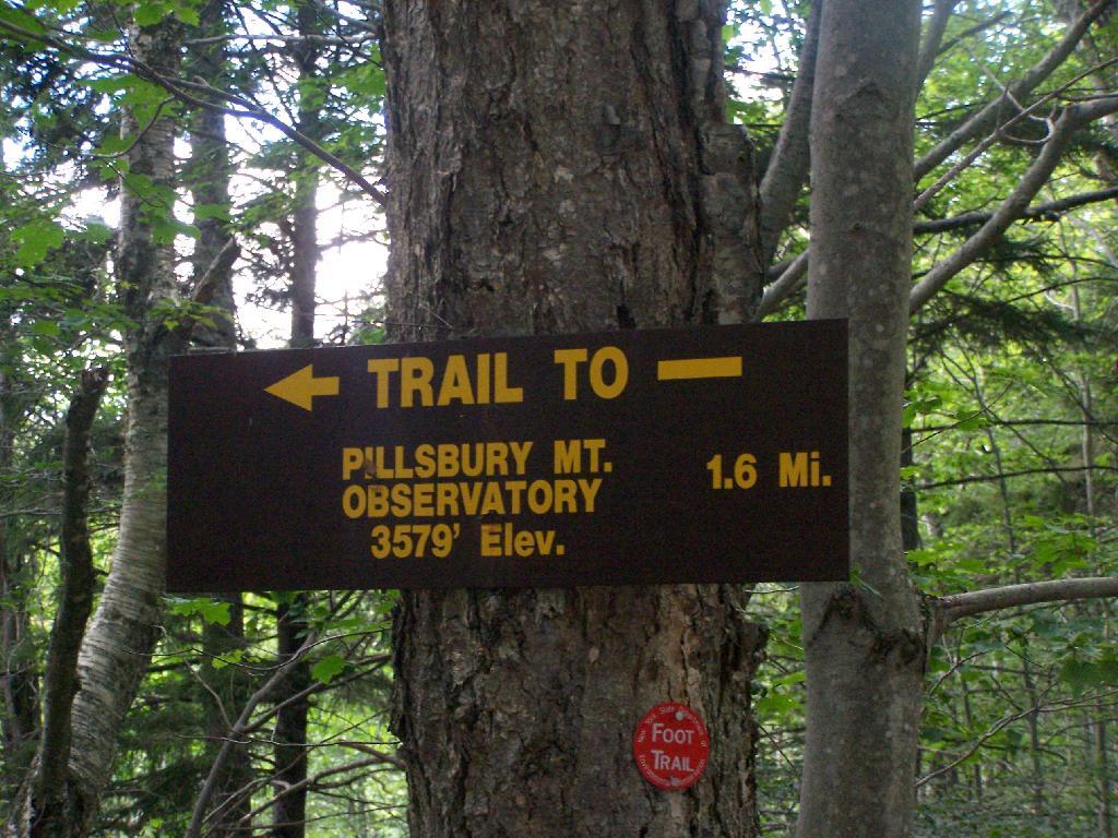
Pillsbury Mountain Firetower is located at the edge of the Jessup River Wild Forest and the West Canada Wilderness. To reach there, you have to drive North of Spectulator, and take about 6 miles of fairly smooth logging roads through International Paper’s Perkins Clearing Easement.
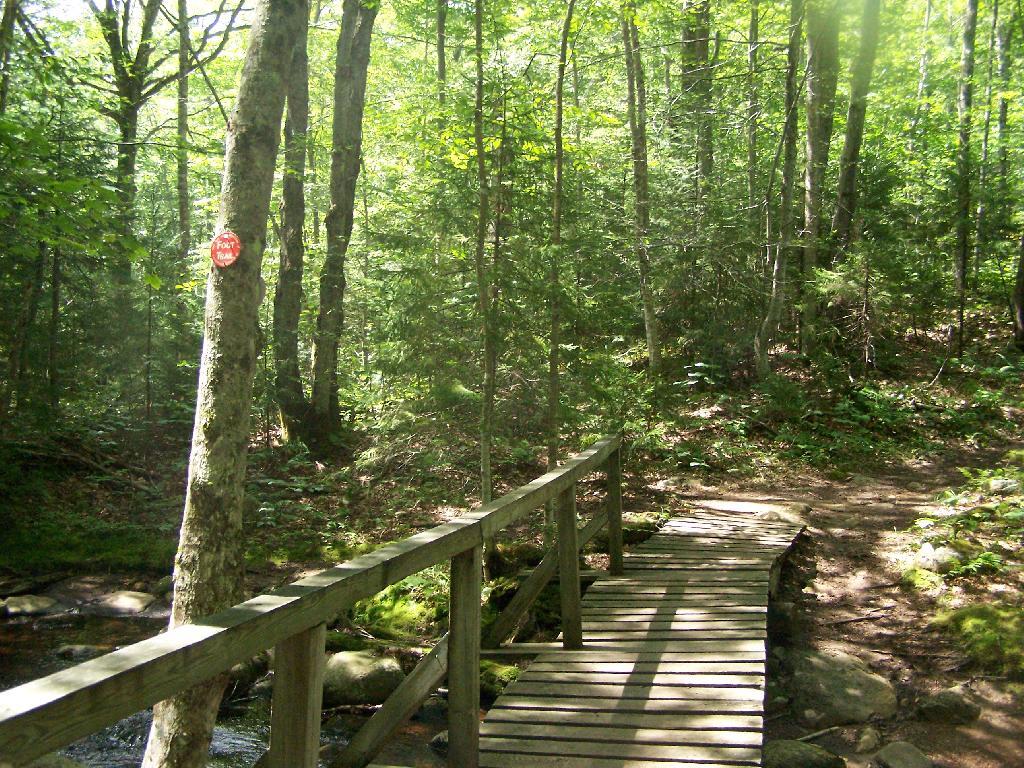
Hiking Bridge Across Miami River. Not that th Miami River really deserves to be called a river, but on the trail up the Pillsbury Mountain, its particularly small.
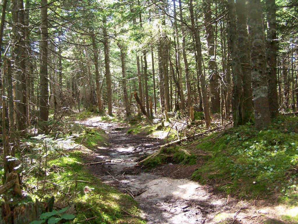
Taking the trail Up Pillsbury Mountain. It’s about two miles long, and not a difficult hike, although you do gain about 1200 in elevation.
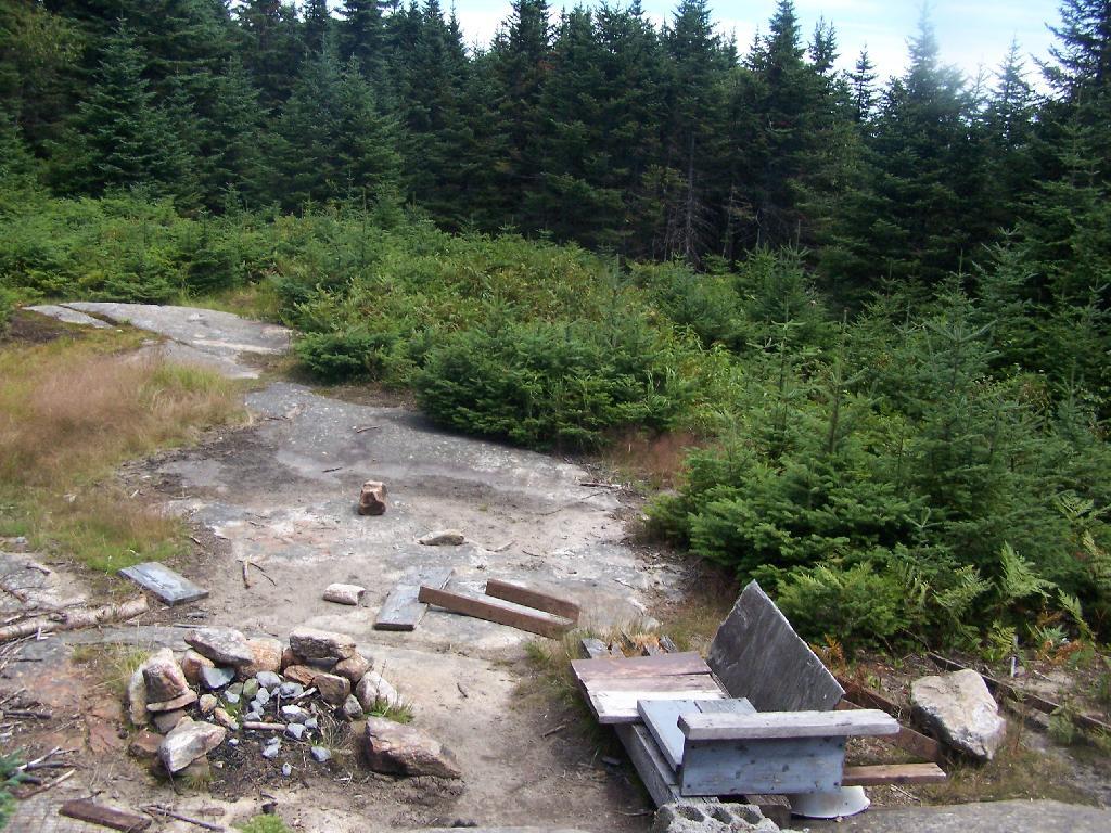
About a 1/4 mile before reaching the tower, reach marshy and thick boreal forest that the trail passes through, with some re-routes to avoid the muck kicked up over the years.
Approaching Fire Tower.
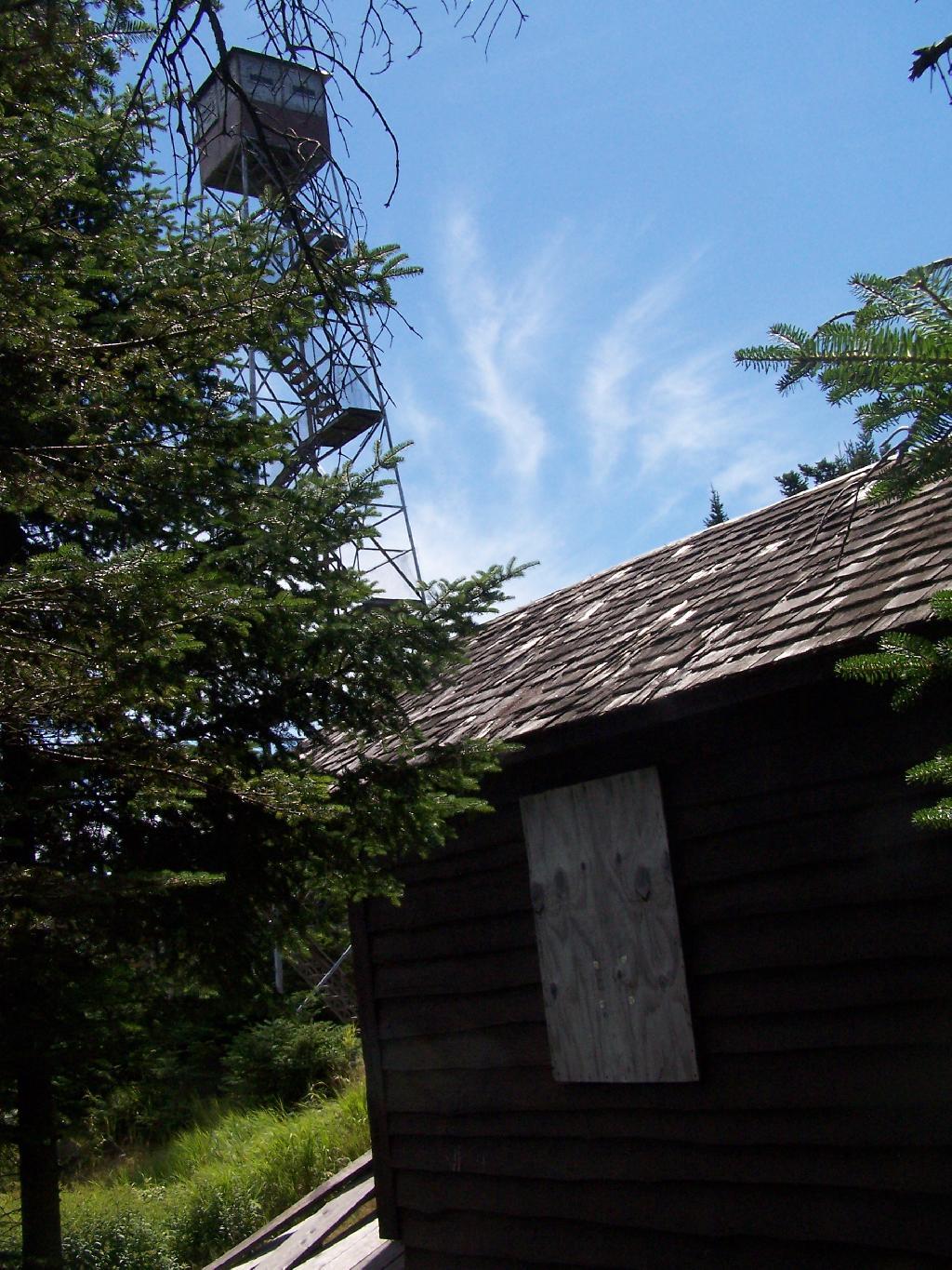
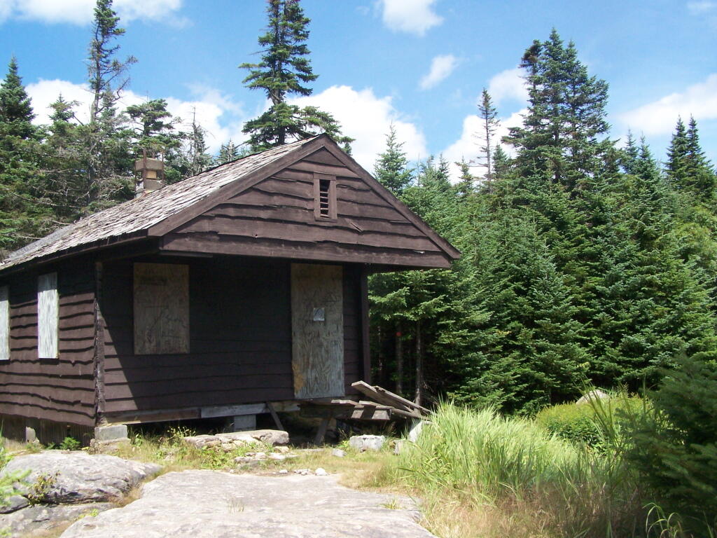
People Die Here. I kid you not, that’s what the cabin says when you first get here. Combined with the creepy fire tower top, it’s kind of neat.
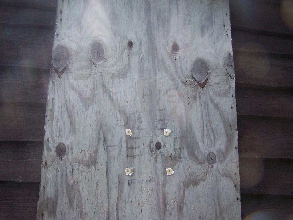
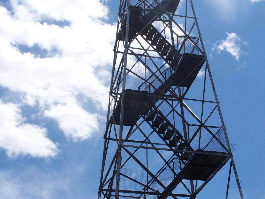
Tower Cabin. That sure looks scary, doesn’t it? Now I understand why people die up here, probably with a secret DEC Forest Ranger, who hides up there, shooting at people he or she doesn’t like. Or maybe not.
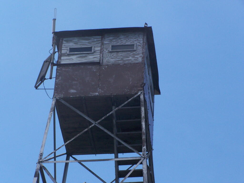
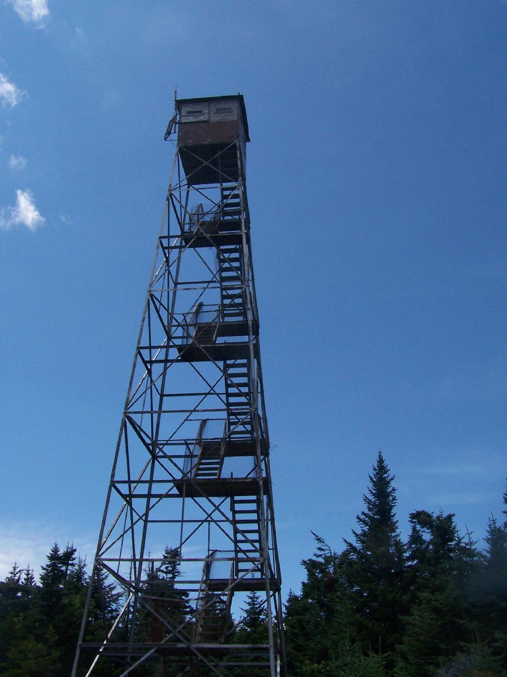
The tower is pretty conventional with normal looking landings, a rangers cabin, and a clearing for a helicopter to land in an emergency.
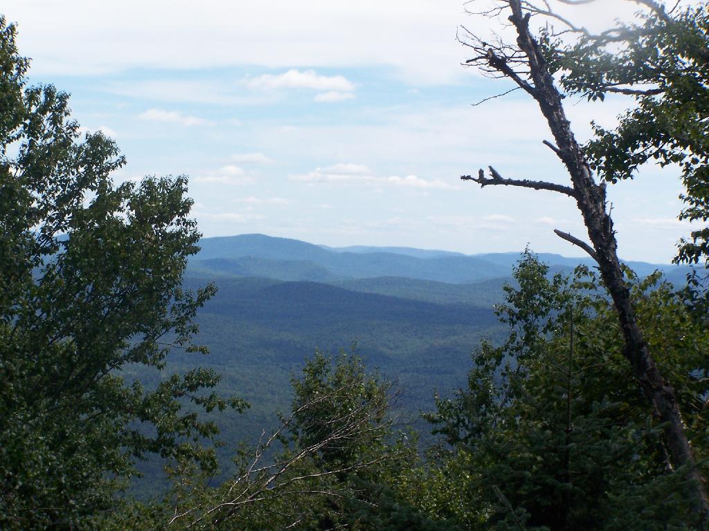
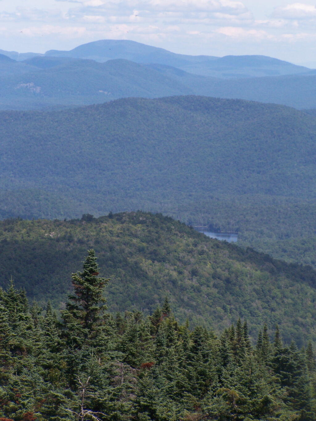
The views from the tower are quite great. Looking east thru the Jessup River Wild Forest.
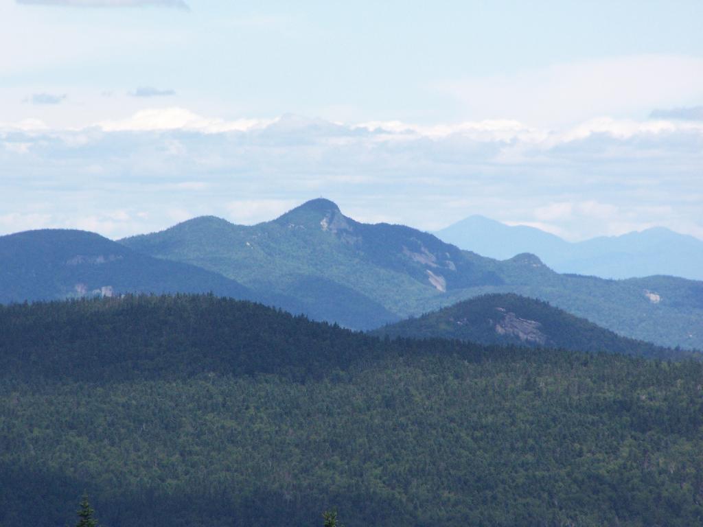
Snowy Mountain to the North. If you look carefully, you can see the tower up top of it.
South towards Lake Pleasant and Spectulator.
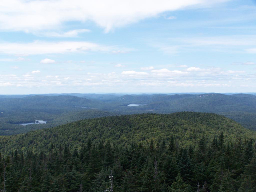
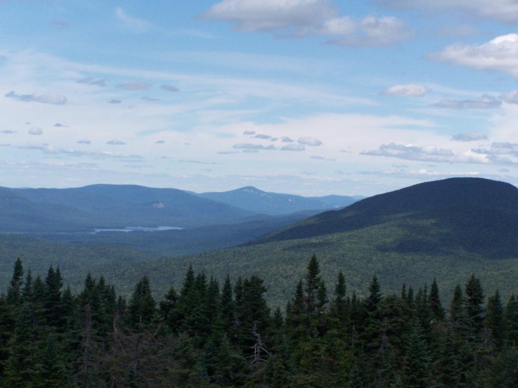
Moose River Plans and West Canada Creek Wilderness from Pillsbury Mountain Fire Tower.
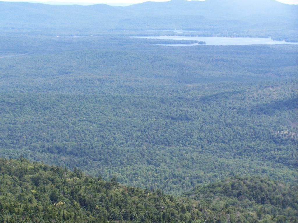
North towards Cedar River Flow and Wakely Mountain. If you look carefully, you should be able to see the Wakely Mountain Firetower from here.
Map of the hike.
View Pillsbury Mountain in a larger map