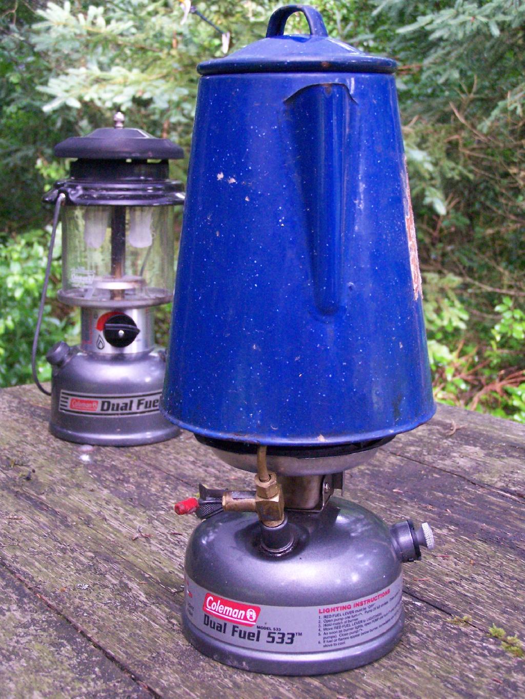
leantos
Campsites and Lean-Tos in Catskill Park
This table is based on the data in the Catskill State Land Master Plan. I believe most of these sites are tent or lean-to sites, some fairly far back in.
| Catskill F.P. Unit | Designated Campsites | Lean-Tos | Major Desinations | Unit Yearly Usage |
|---|---|---|---|---|
| Big Indian Wilderness | 5 | 6 | n/a | 4,500 |
| Hunter – West Kill Wilderness | n/a | 2 | Hunter Mountain, West Kill Mountain | n/a |
| Indian Head Wilderness | 10 | 3 | Echo Lake | 8,000 |
| Slide Mountain Wilderness | 29 | 10 | Slide Mountain | 23,000 |
| Windham-Blackhead Wilderness | n/a | 2 | Blackhead Mountains | n/a |
| Balsam Lake Mountain Wild Forest | 15 | 5 | Alder Lake | 5,000 |
| Bluestone Wild Forest | n/a | n/a | n/a | n/a |
| Colgate Lake Wild Forest | n/a | n/a | Colgate Lake | n/a |
| Delaware Wild Forest | n/a | n/a | n/a | n/a |
| Dry Brook Ridge Wild Forest | n/a | n/a | Dry Brook Mountains | n/a |
| Halcott Mountain Wild Forest | n/a | 1 | n/a | n/a |
| Elm Ridge Wild Forest | n/a | 1 | Windham High Peak | n/a |
| Overlook Mountain Wild Forest | n/a | n/a | Overlook Mountain | n/a |
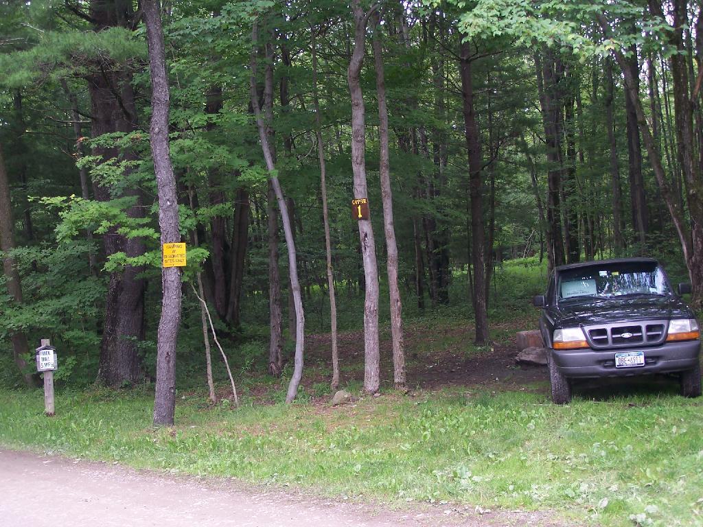
| Phoenicia – Mt. Tobias Wild Forest | 0 | 2 | n/a | n/a |
| Rusk Mountain Wild Forest | n/a | n/a | n/a | n/a |
| Shandaken Wild Forest | 10 | n/a | n/a | n/a |
| Sundown Wild Forest | 60 | 0 | Kaaterskill High Point | n/a |
| Willowemoc Wild Forest | 2 | 12 | n/a | n/a |
| Crystal Lake Wild Forest | n/a | n/a | n/a | n/a |
| Catskill Total | 131 | 44 | – | – |
Campsites and Lean-Tos in DEC Region 7 (Central NY)
Today we look at Campsites and Lean-tos and other “developed” camping opporunties in DEC Region 7, which consists of lands in Central NY Counties of Broome, Cayuga, Chenango, Cortland, Madison, Onondaga, Oswego, Tompkins and Tioga, and is based on data in Region 7 Recreation Master Plan.
Current 85 Designated Campsites/Lean-Tos.
|
|
1 DEC Camping permit required. Call (607) 674-4036 to have a permit mailed to you.
2DEC Camping permit required from April 15-October 15th. Call (607) 674-4036 to have a permit mailed to you.
3 Vehicle accessible.
4Horse Assembly and Camping-area.
5 Currently undesignated sites (lacks “Camp Here Markers”) on an old loop road that was part of CCC Camp in Taylor Valley.
Related Maps.
DEC’s Future Plans for Region 7
1. Develop 31 additional campsites in Region 7. Twenty-eight of these will be open campsites and three will be lean-tos. A portion of the new campsite development will occur on Hall Island State Forest (Oswego 10), as noted in items b and c. The Department will consider the option of permanently closing any or all of the Island campsites if patrol or enforcement problems become an issue. Fiscal constraints and public demand will determine if any additional campsites are to be developed within the Region.
a. Development of the new campsites will be in compliance with the guidelines for access by people with disabilities.
b. Develop 12 to 15 open campsites on Hall Island State Forest (Oswego10). These campsites will be located on the south side of the Salmon River Reservoir and will only be accessible by water. A permit will be required to occupy these sites. Three of these sites will be developed for people with disabilities . c. On Hall Island State Forest (Oswego 10), upgrade two designated campsites on Burdick Island and two campsites on Huckleberry Island in the Salmon River Reservoir. A permit will be required to occupy these sites. Two of these sites will be developed for people with disabilities.
d. Develop one lean-to campsite along the Finger Lakes Trail on Perkins Pond State Forest (Chenango 22) in the Town of Otselic.
e. Develop two open campsites on the Marsh Pond State Forest (Broome 4) near the pond. One of these sites will be developed for people with disabilities.
f. Develop three campsites on Robinson Hill State Forest (Tioga 3) near Tricounty Pond. The exact number of sites will be determined from local demand. One or two of these sites will be developed for people with disabilities. Install kiosk and develop area brochure.
g. Develop one lean-to on the Genegantslet State Forest with access from Creek Road. The access trail to the lean-to will be approximately 0.7 miles of hiking trail.
h. Develop an open campsite in stand C-7 on Long Pond State Forest (Chenango 35) designed for access by canoe or boat.
i. Develop three open campsites on Oakley Corners State Forest (Tioga 2). One of these sites will be developed for people with disabilities. Use of these sites will be by permit only.
j. Upgrade and designate three formal sites on the Salmon River State Forest (Oswego 8). A permit will be required to occupy these sites.
k. Rebuild the lean-to along the trail on Chateaugay State Forest (Oswego 4 & 5).
l. Build one lean-to on Cuyler Hill State Forest (Cortland 6).
m. Inspect and, if necessary, repair or replace lean-tos on the Finger Lakes Trail.
2. Propose a change to the current regulations to address the conflicts encountered with camping within 150 feet of a road.
a. Propose a change to the current regulation that prohibits camping within 150′ of any road. The intent of this proposal is to accommodate the style of camping that is common during hunting season.
3. Provide camping opportunities on State Forests for people with disabilities. These ADA compliant facilities will be distributed throughout the Region. Most of the designated campsites will have fire rings and several of the sites will have picnic tables. Fire rings, picnic tables and benches will be of Universal Design. Accessible latrines will be located at areas with several campsites, such as Long Pond, Stoney Pond and Charles E. Baker State Forests. All camping areas that can be driven to will have at least one accessible parking space. a. Make alterations to the Moscow Hill campsites on the Charles E. Baker State Forest (Madison 1 & 4) so that at least four of the sites are accessible by people with disabilities.
4. Designate 14 campsites at Moscow Hill, Madison 1, camping area.
5. Maintain 85 existing campsites.
6. Propose a regulation to prohibit camping at Nanticoke Lake Multiple-Use Area and Redfield Island Day-Use Area
7. Remove the lean-to on New Michigan State Forest (Chenango 5) This lean-to is structurally poor and is no longer located on an active trail. The lean-to proposed in 1. d will replace this lean-to.
Sugar Hill Firetower & State Horse Camp
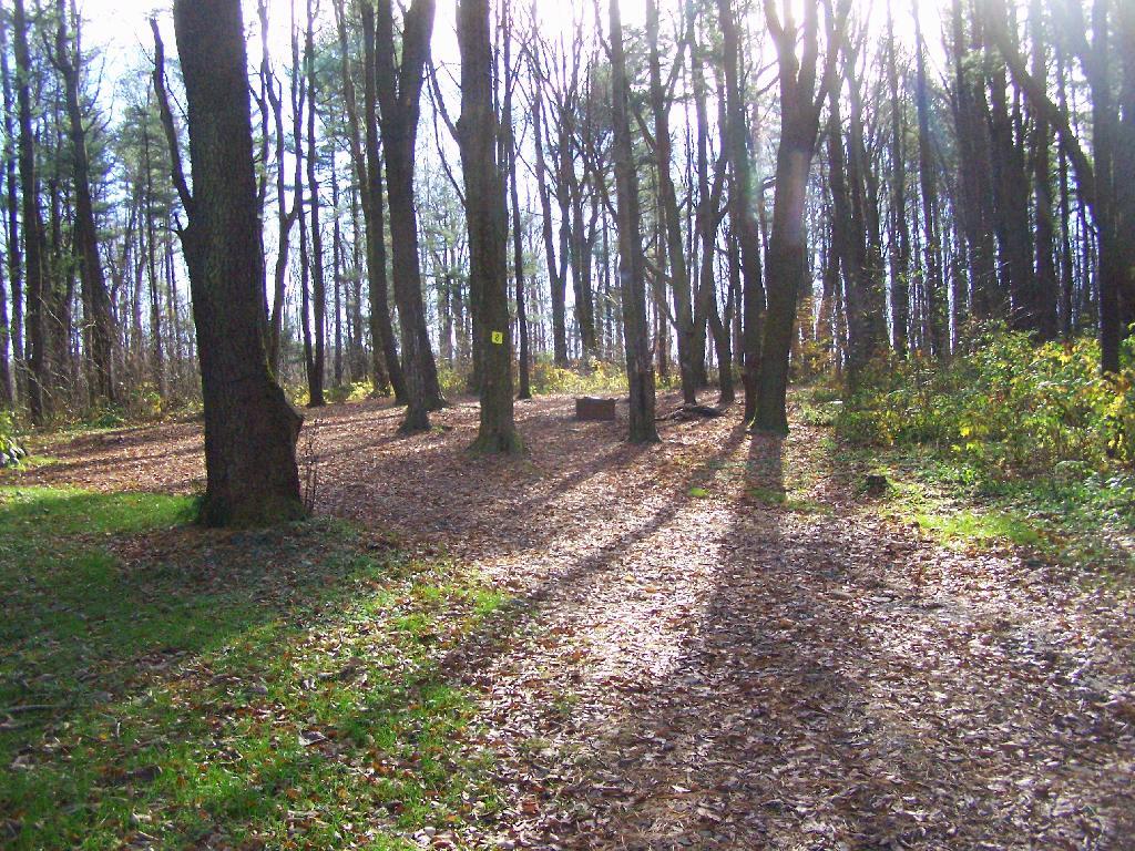
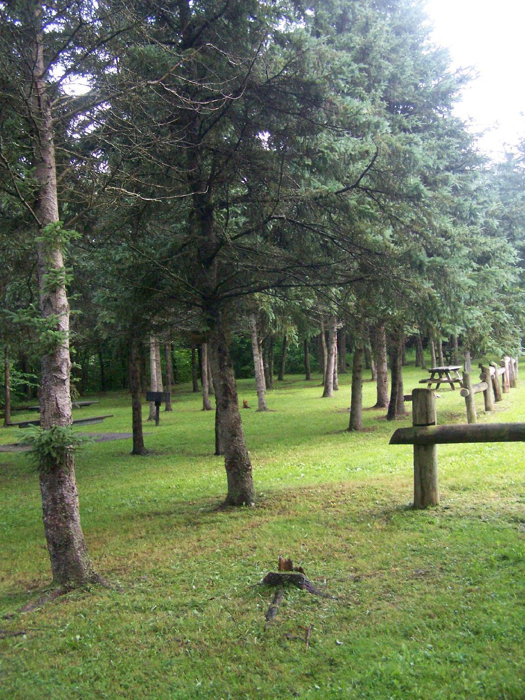
The final night of my Finger Lakes Trip I spent the night up at Sugar Hill State Forest, a series of 9,500 acres of state land, popular for horse owners. This parcel has two main camping areas, about 90 miles of horse trails, 3 lean-tos geared to equine users, and one nice new lean-to that is accessible solely by foot.
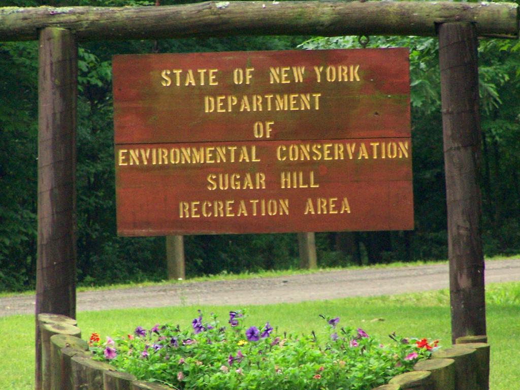
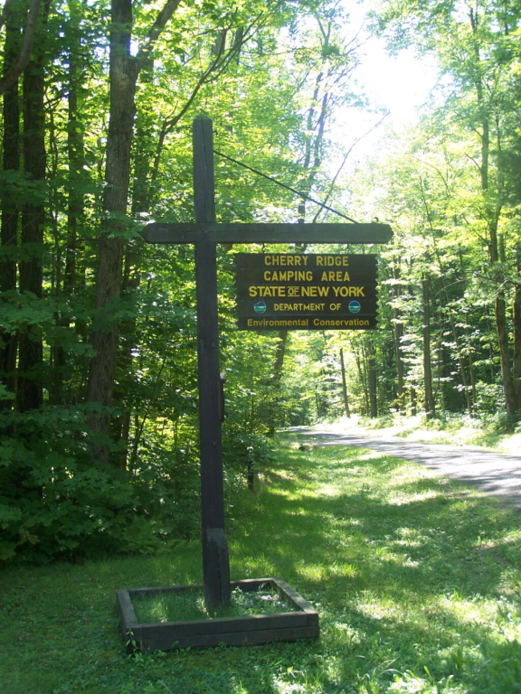
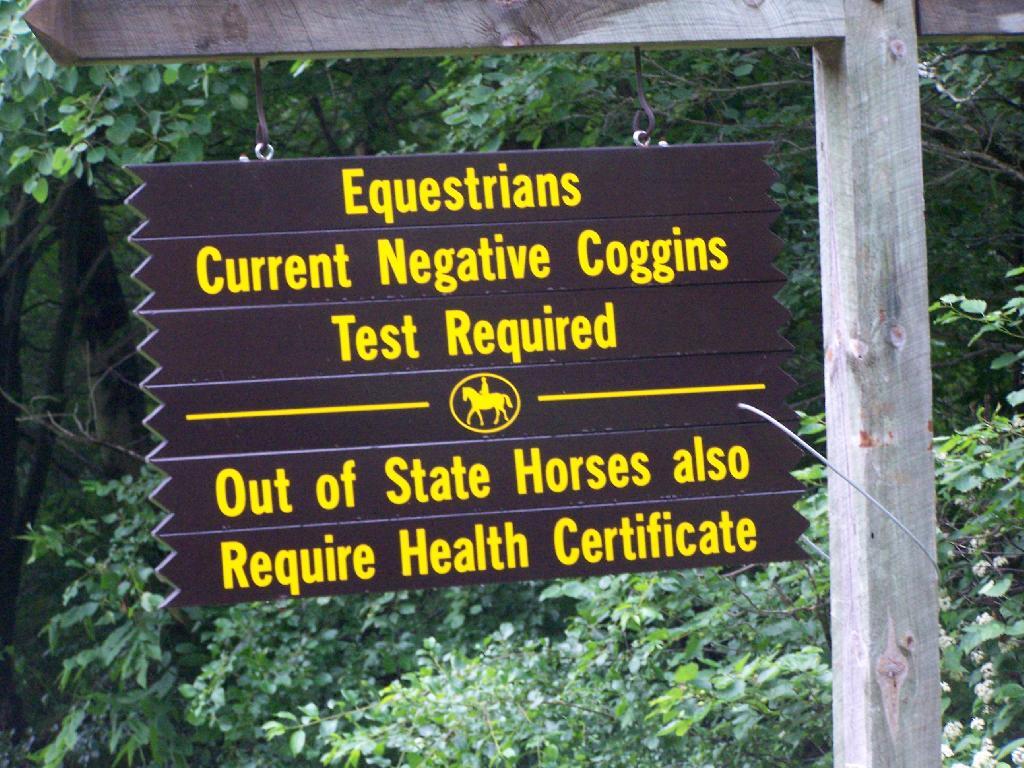
You don’t see signs like this located in downtown Albany.
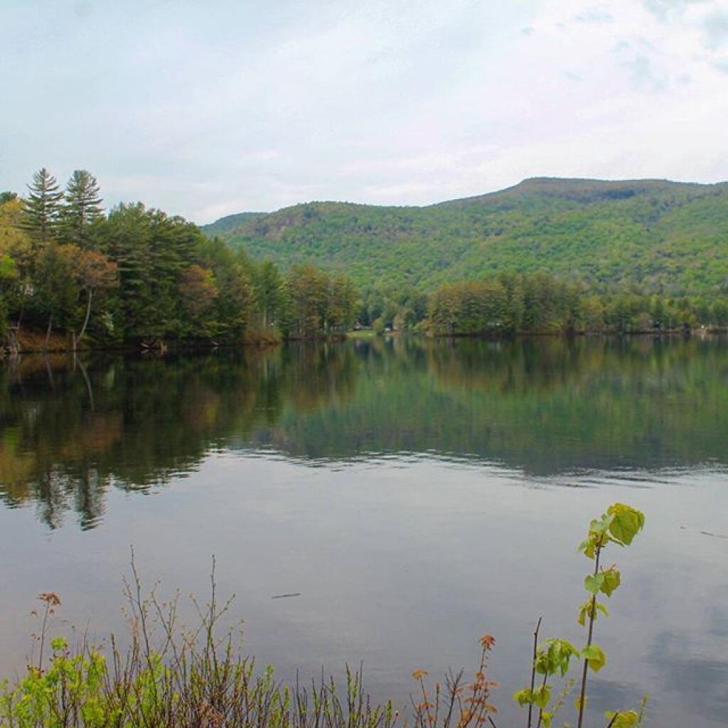
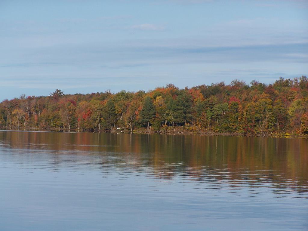
This is all conveniently located about 15 miles from Watkins Glen, at the headwaters of Townsend and Glen Creeks that make up the water that flows through the Glen.
While I didn’t spend a lot of time going around and grabbing pictures of the Horse Camp, I did take some pictures and have some from when I visited this area during the previous summer. This was in part because the last day was rather gray, with heavy rain at times, and I was frankly quite tired.
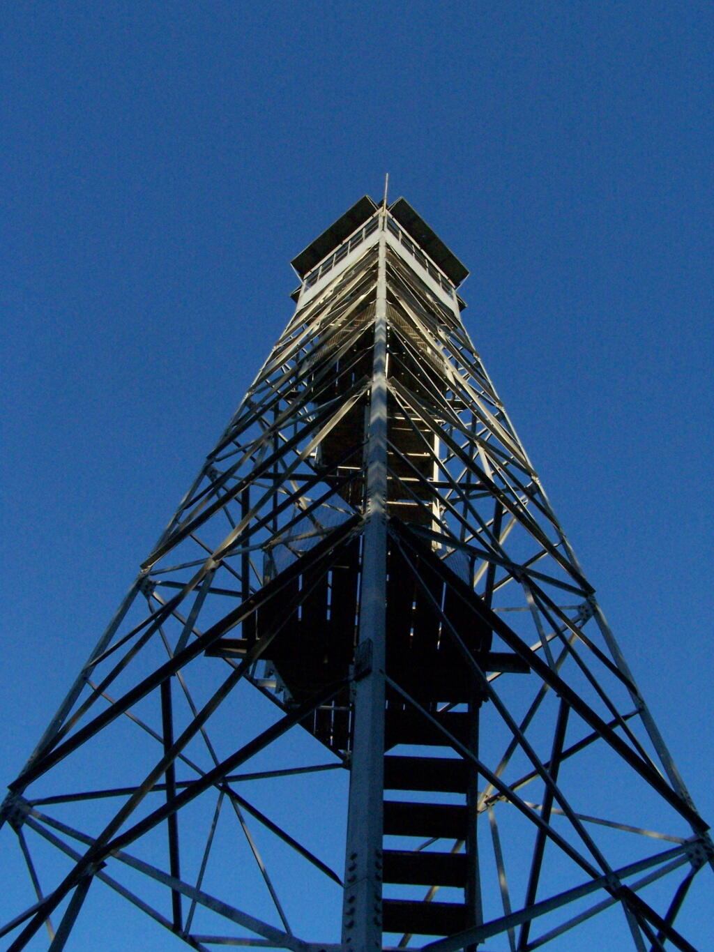
There also is a firetower at the main horse camp area, which is filled with RVs, horse trailers, and horses during the summer weekends. This is shown below:
View Hikes of 2009 in a larger map
Here is the fire tower:
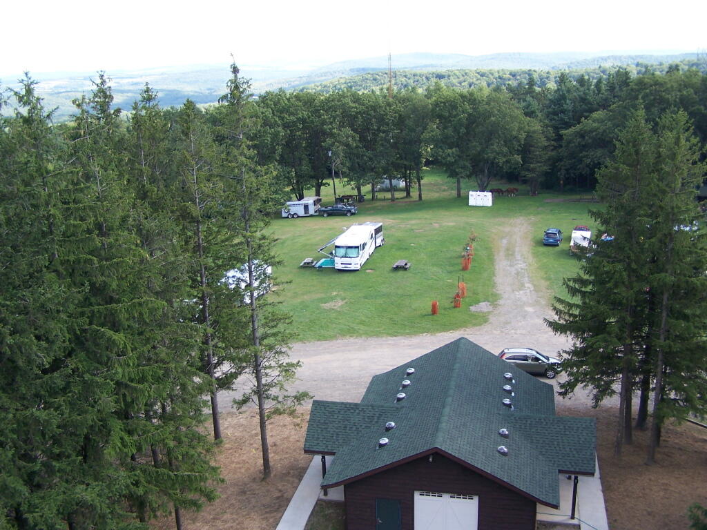
Here is the main horse camp, with new bathroom facilities including flush toilets. This was installed two years ago due to the popularity of the horse camp and contamination concerns by the overuse of the conventional pit privy.
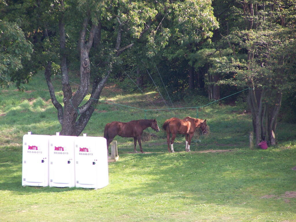
Horses tied up. I took this last year, when they where still building the replacement bathroom for the pit privy, and therefore the porta-potties.
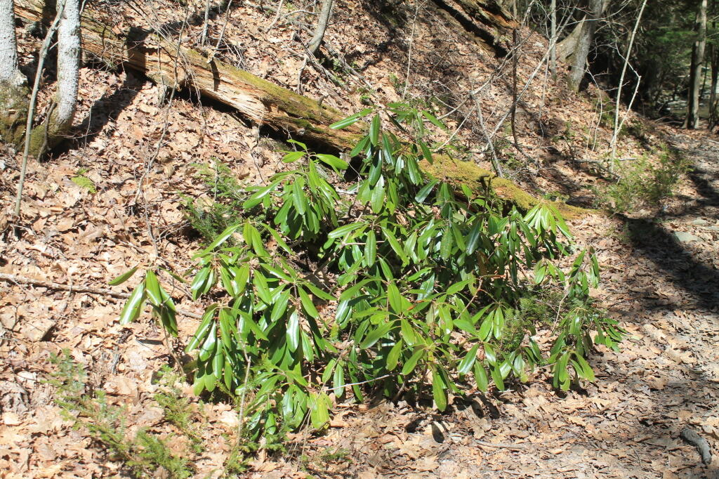
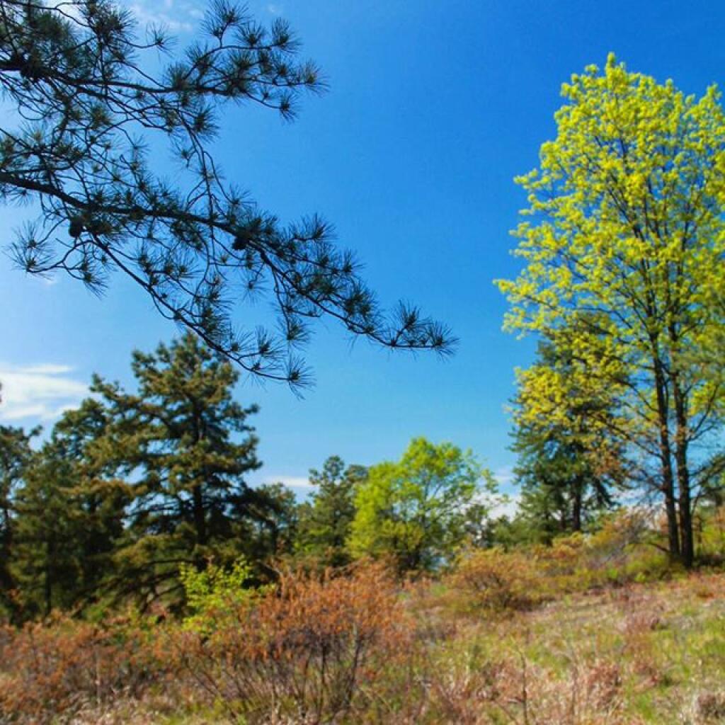
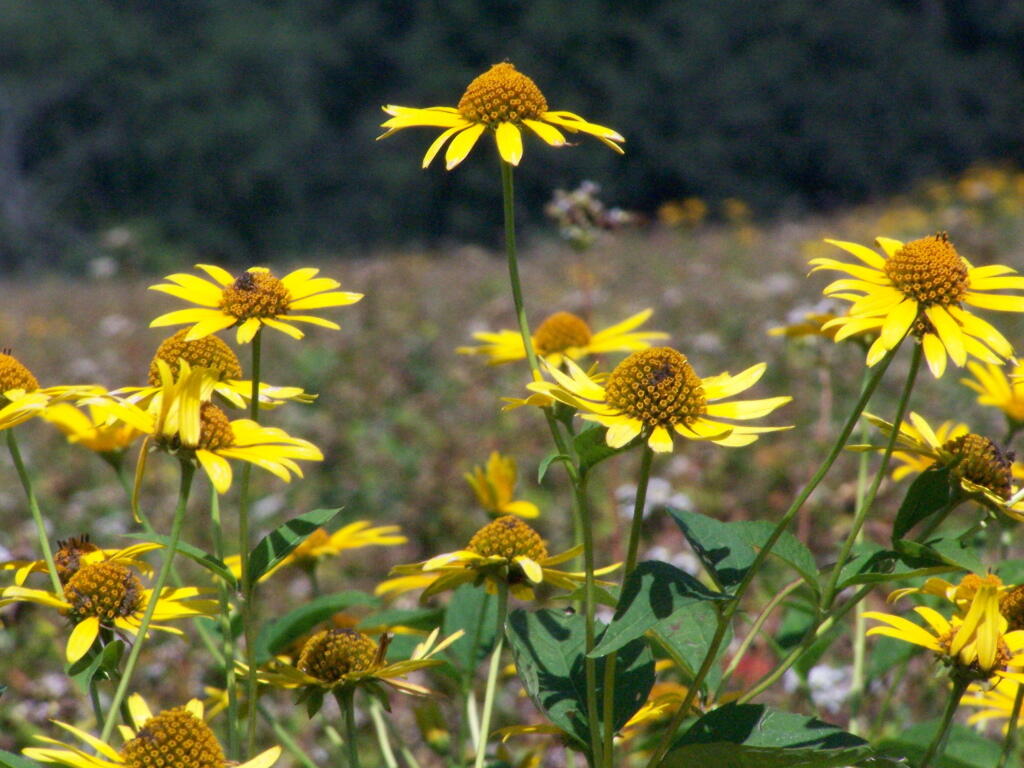
Some wildflowers noticed along a short walk…
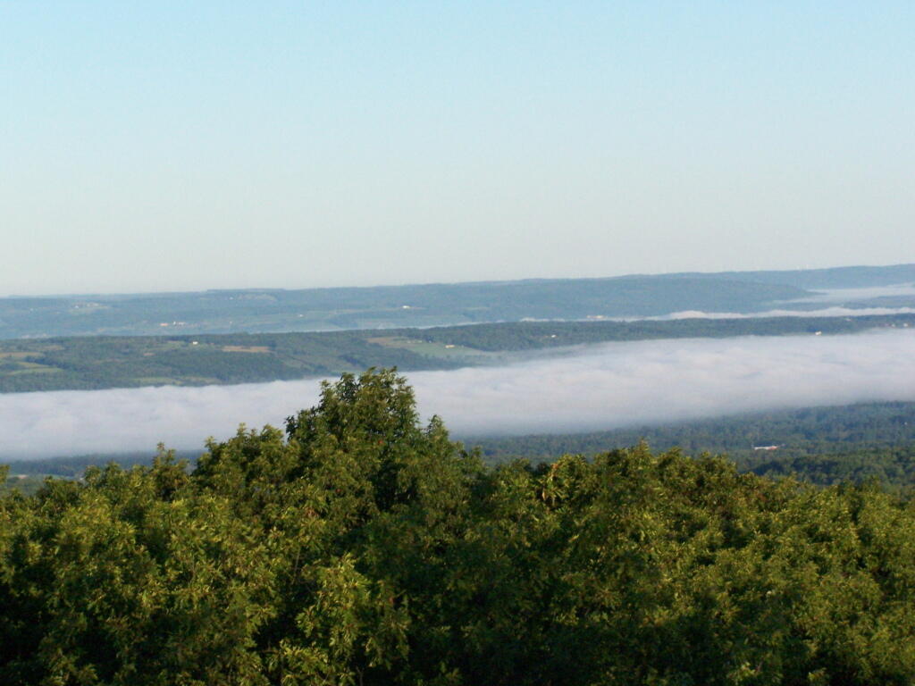
A bed of fog over Kueka Lake from the Firetower from last year.
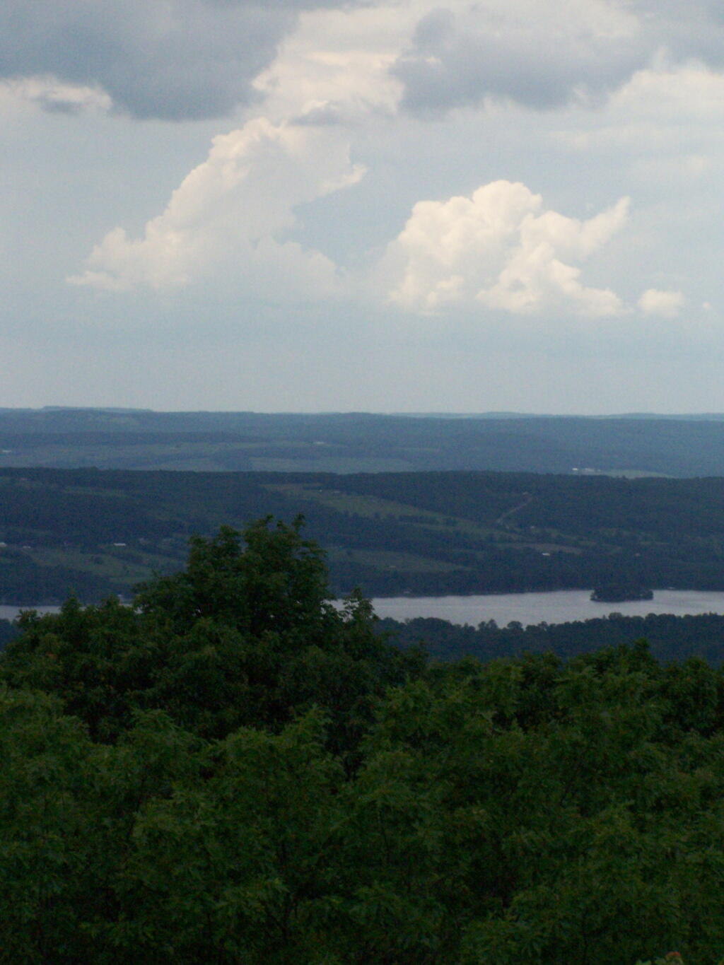
Thunder clouds approaching from the west from the Firetower. It was not of course thundering when I was on the tower. I’m not that stupid.
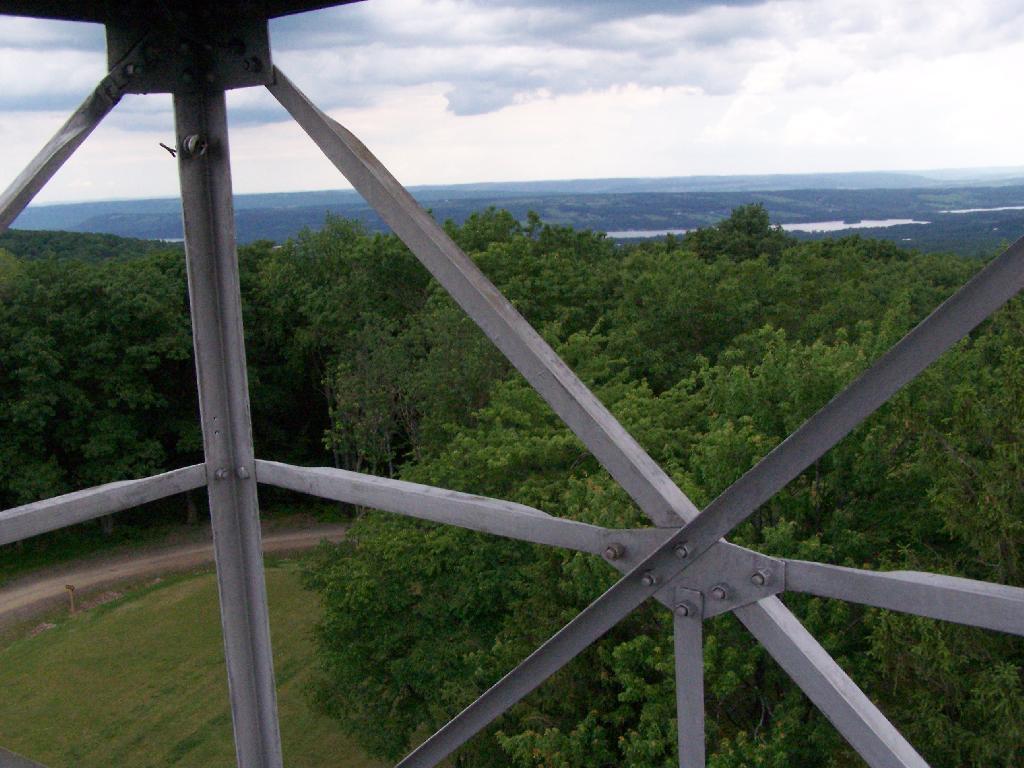
Descending the firetower, looking east towards Seneca Lake.
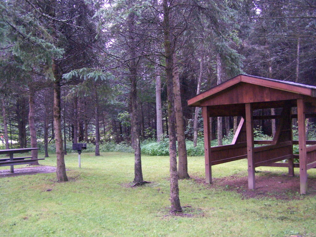
Rather then camping at the main horse camp, where there where several people set up with horses, I decided to camp at the lower area, which is much less popular, but as nice if not nicer.
They still have lots of things for the horse owner to use.
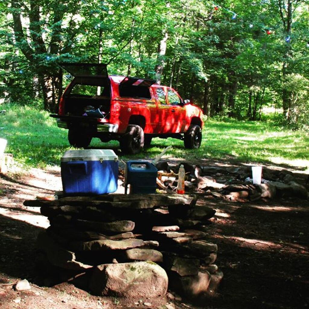
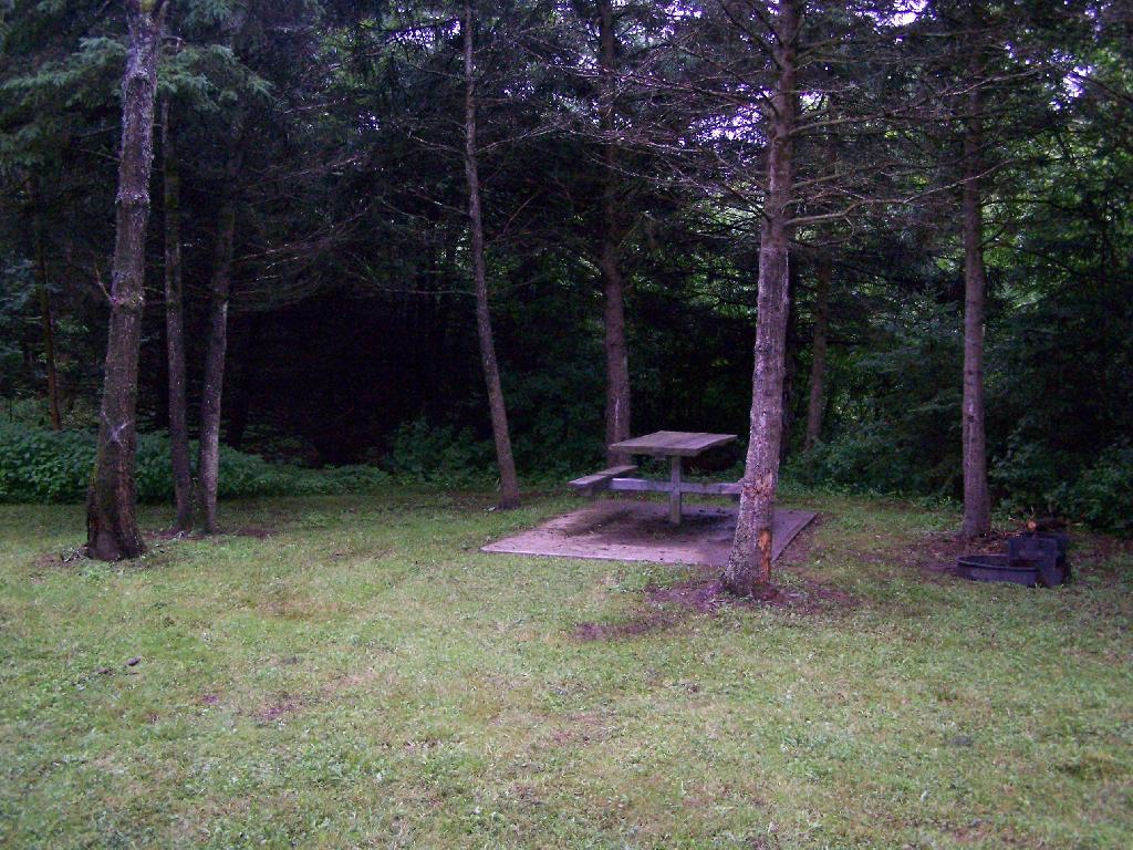
In the evening it started to rain. It didn’t bother me much, as I had the tarp over my truck and the picnic table, and thanks to the cement base under the table, there was no mud or muck to get kicked up.
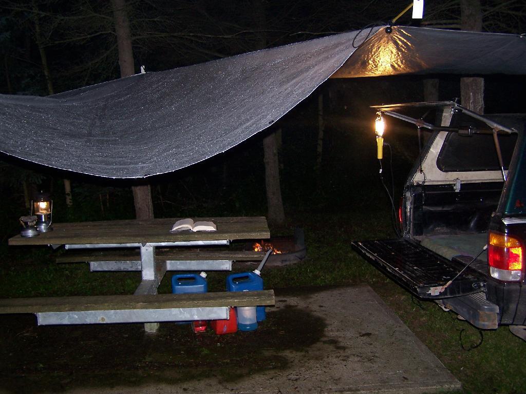
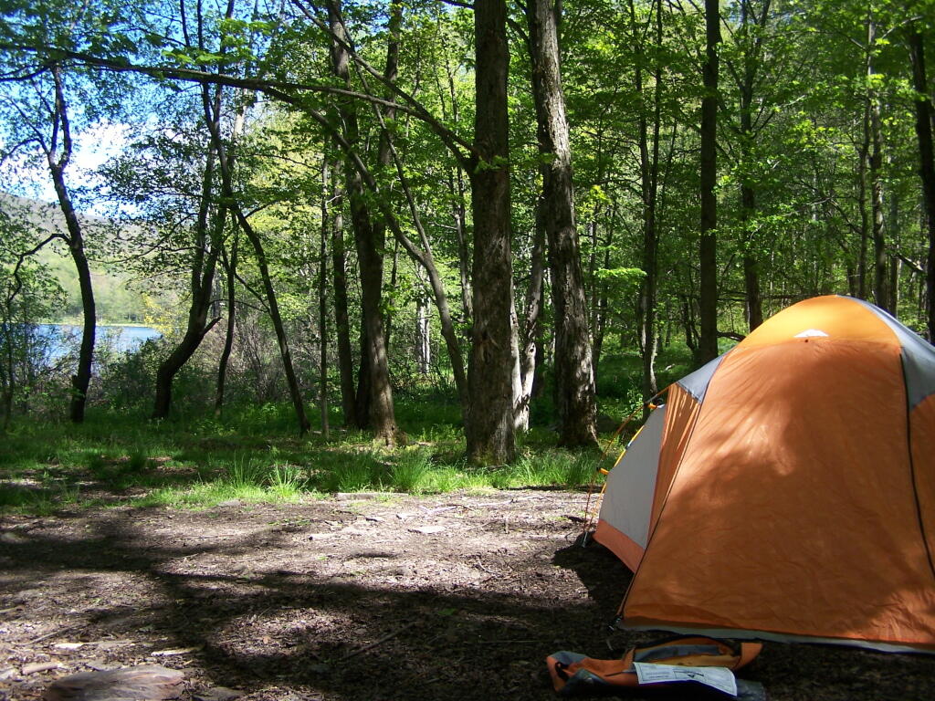
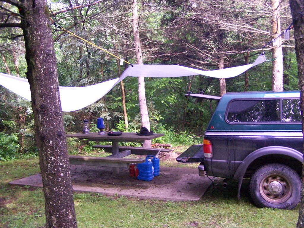
This was my camping arrangements, as seen in the morning. Not bad, especially for a free campsite.
Making some coffee in the morning. I drank an incredible amount of coffee during this week.
Where I camped, after everything was all packed on up.
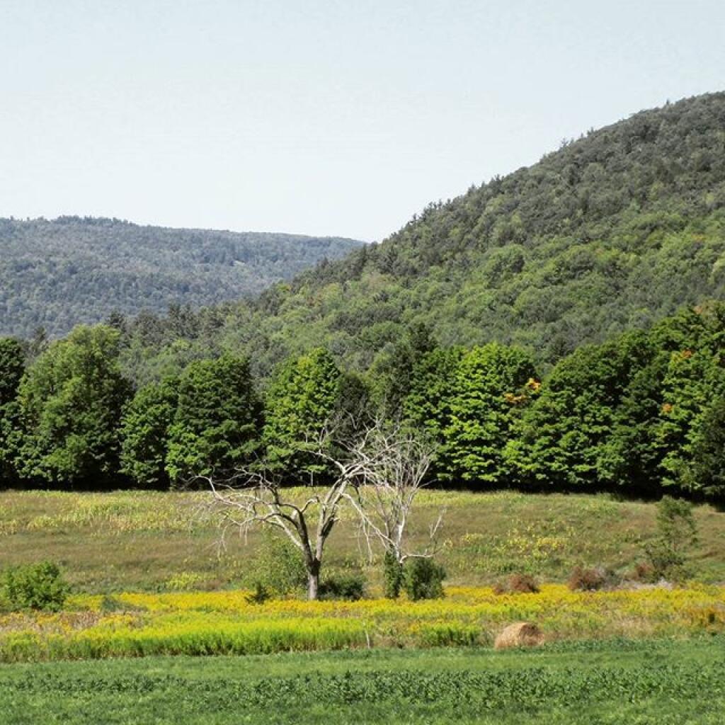
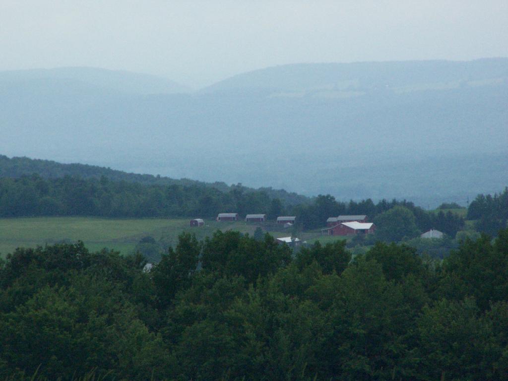
Farms from off Six Nations Hill in the rain, looking south.
Maps from the DEC of Six Nations Horse Camp:


I drove the following route on Day 3 of the Finger Lakes Trip, in yellow. The loop is where the firetower and main horse camp is. Following the green line due south, takes you to the southern horse camp where I spent the night camping.
View Finger Lakes Trip June 2009 in a larger map
Day 4 I visited Corning and checked out Big Flats, which is now unfortunately little more then suburbanite crap. Corning was kind of neat, except that it started to pour when was down there. I then drove down to Sayre, PA, and through northern Pennsylvania so I could pick up some fireworks for the forth of July. I probably could have come right back into the state, but I certainly didn’t want to be followed by undercover cops, with my fireworks (yes, I’m a little paranoid).
Rural Pennsylvania was quite pretty, except for the heavy rain and the fact that Route 706 was so damn narrow and twisty. When I got back to NY, I really appreciated how much better our state’s roads really are. I drove back via I-88, occasionally hopping back on Route 7 for some additional variety to my trip. I got home around 4 PM.
View Finger Lakes Trip June 2009 in a larger map
The green line follows my return trip. It took about 6 1/2 hours, including stops in Corning and other places.