in

Camping on Hope Falls and Pumpkin Hollow Roads

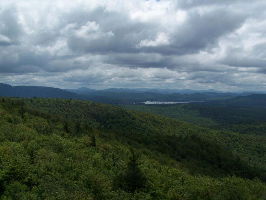
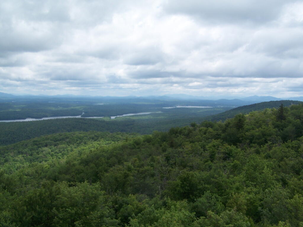
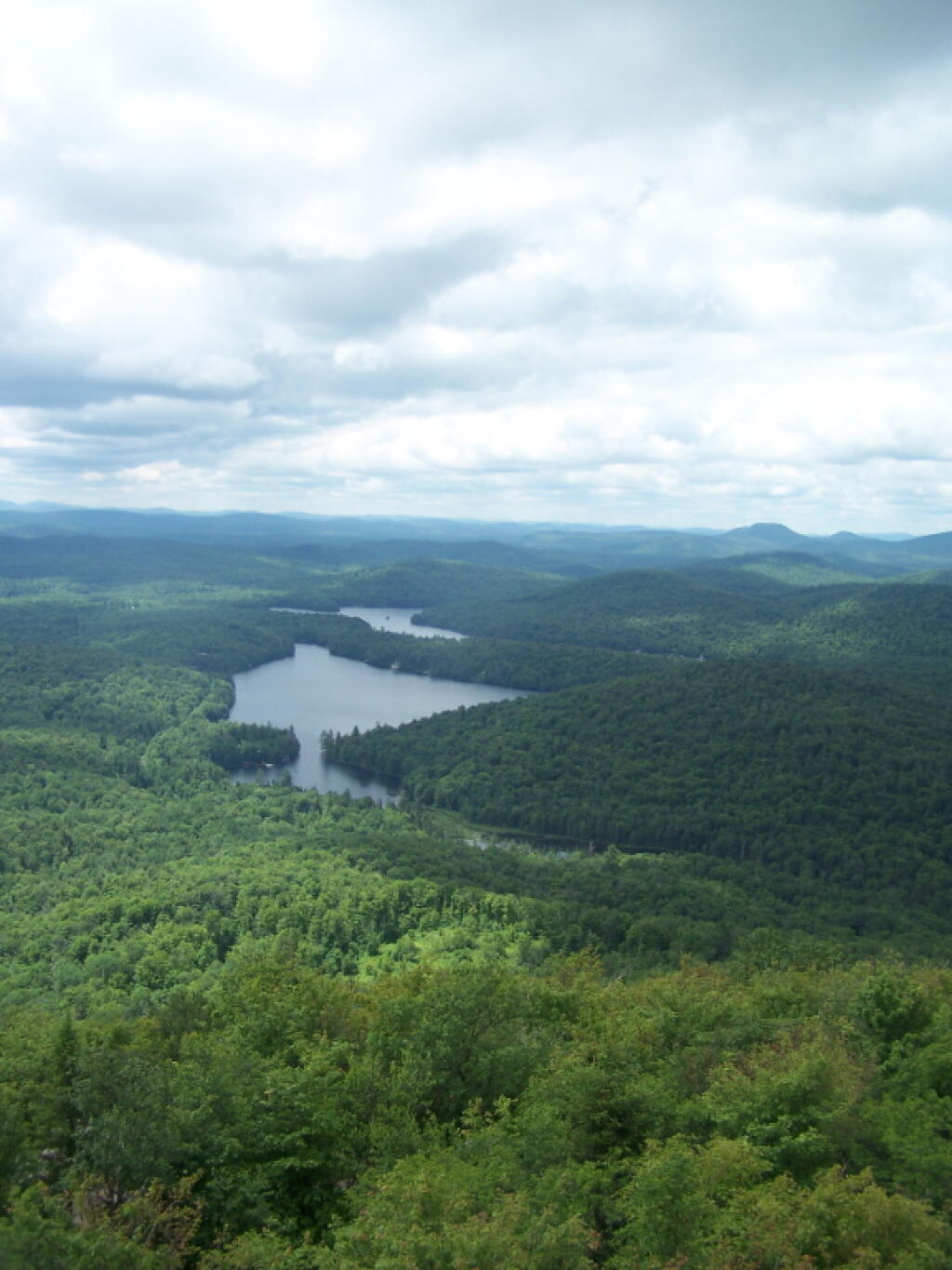
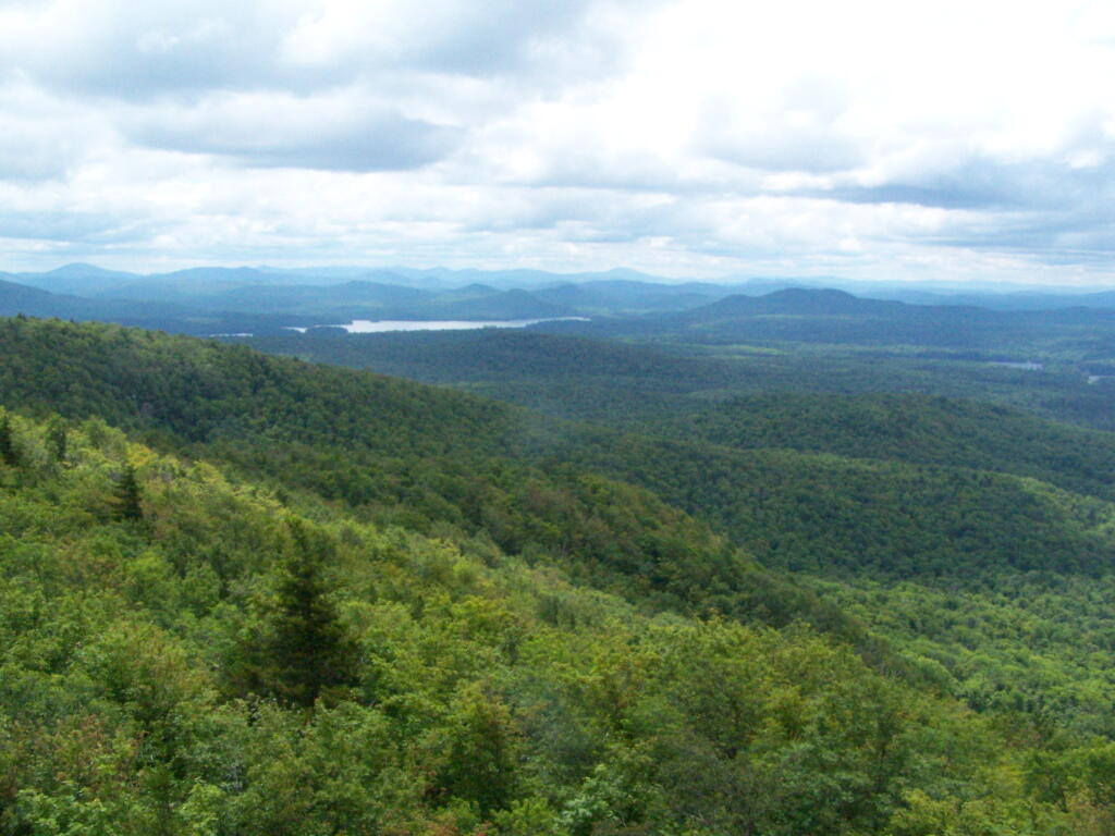
There are several campsites a on side roads, little ways off of NY 30, as you head North from Northville towards Wells NY. These campsites are nice if you starting off into the Adirondacks, and are looking for a convenient place to camp for the night, and want campsites quieter then those on NY 8 / East Sacanadaga River.

These sites are all designated with official “Camp Here” discs.

Road Number of Sites
Hope Falls Road 3 Vehicle
3 Tent Sites
Pumpkin Hollow Road 2 Vehicle (Between Willis Lake and Inholding)
1 Vehicle (Beyond Inholding)

Hope Falls Road.

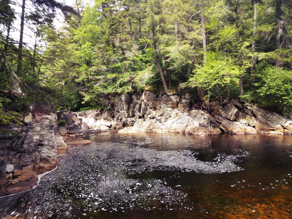
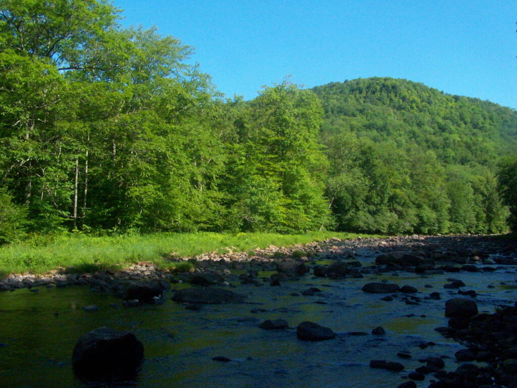
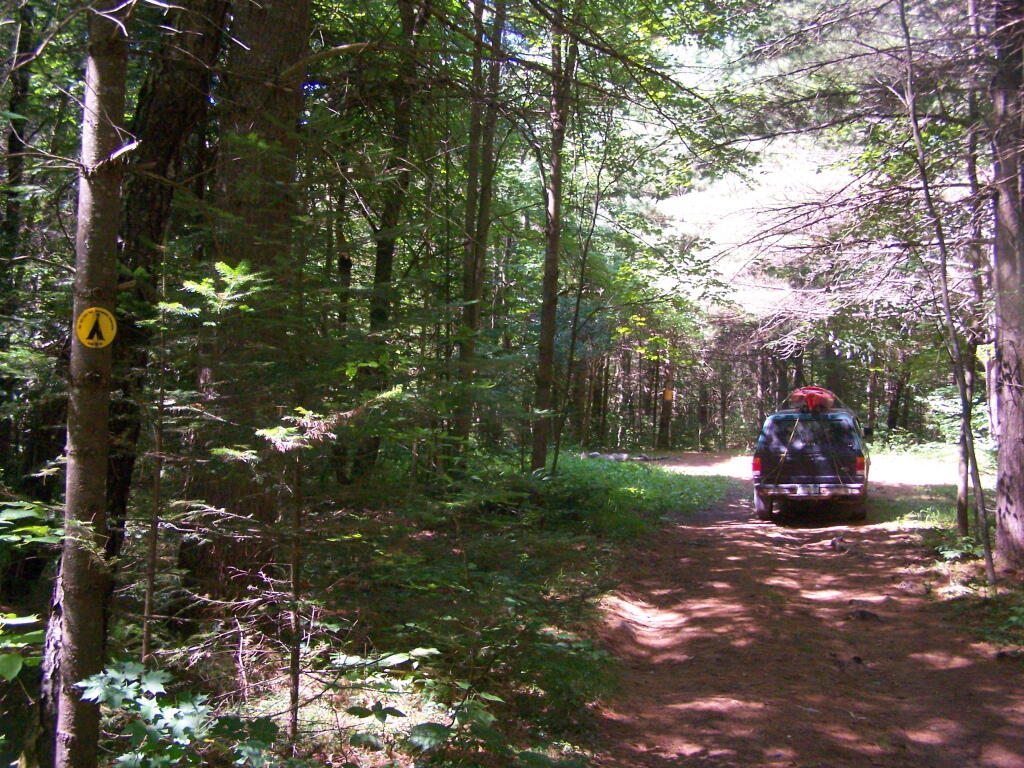
From Northville on Hope Falls Road, you drive north and north. The paved road goes on for several miles, until you finally reach the “Seasonal Use Only” sign, and hte pavement ends it becomes a one lane road.

 Hammond Pond Wild Forest - Green Hill Parcel

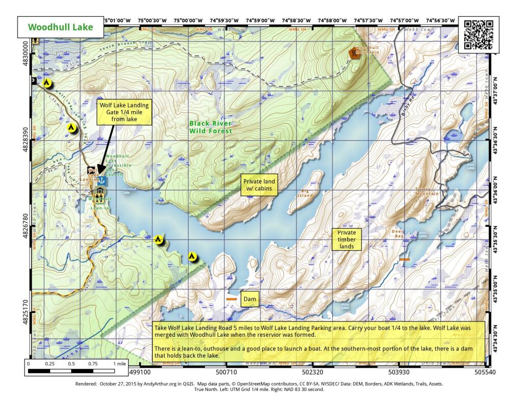
Click the map above to print it.

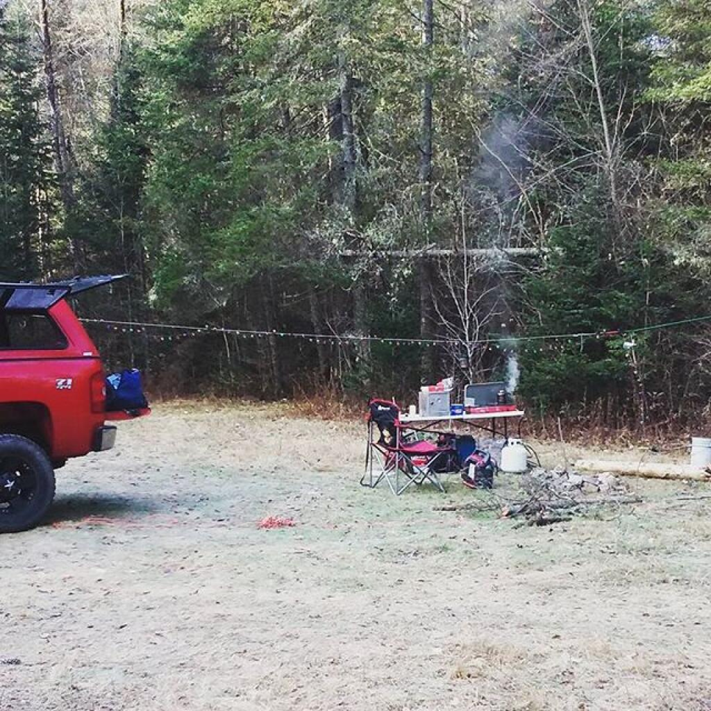
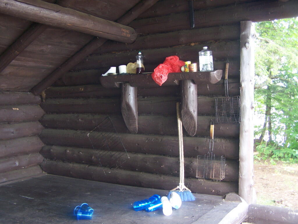
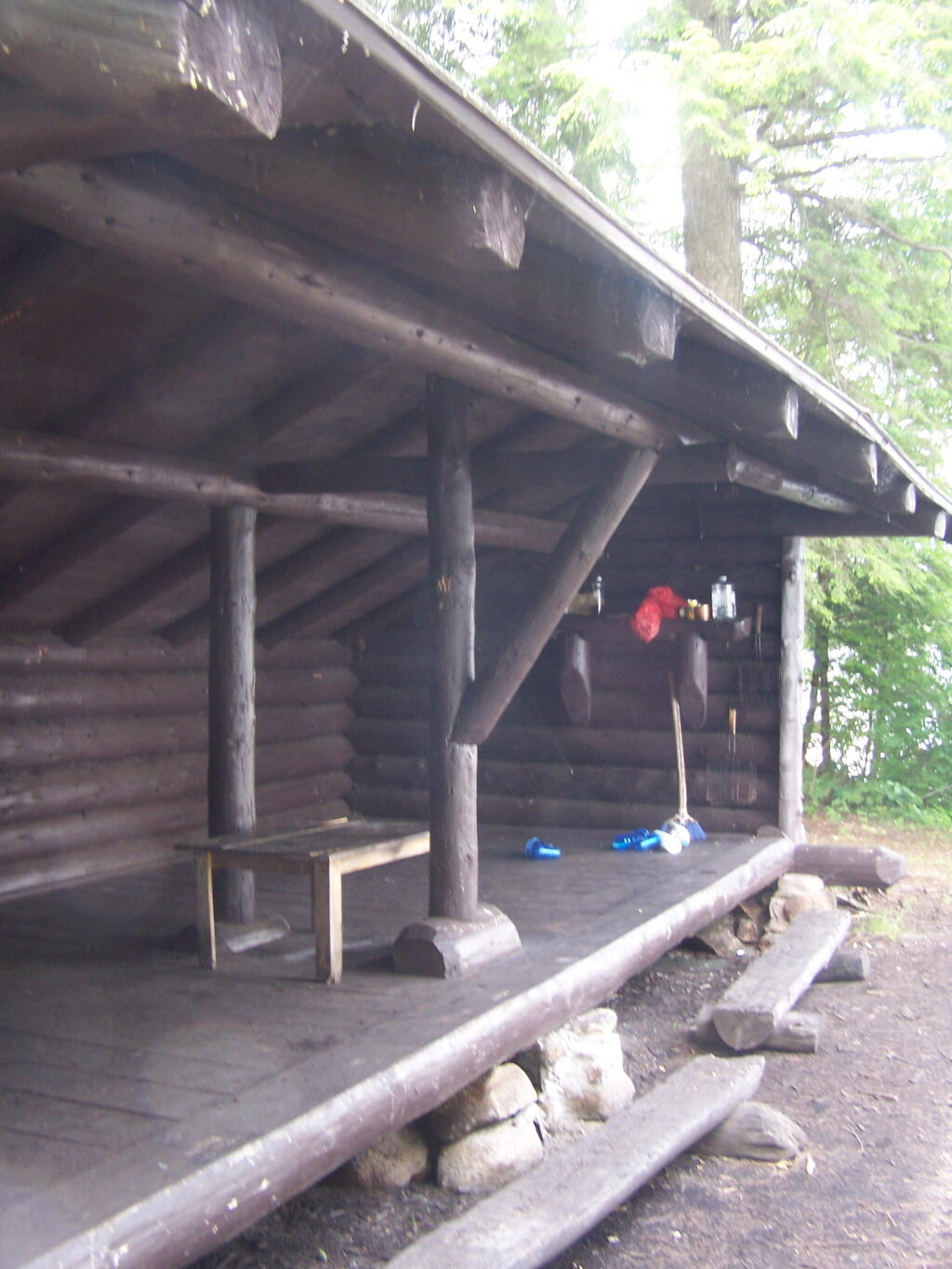
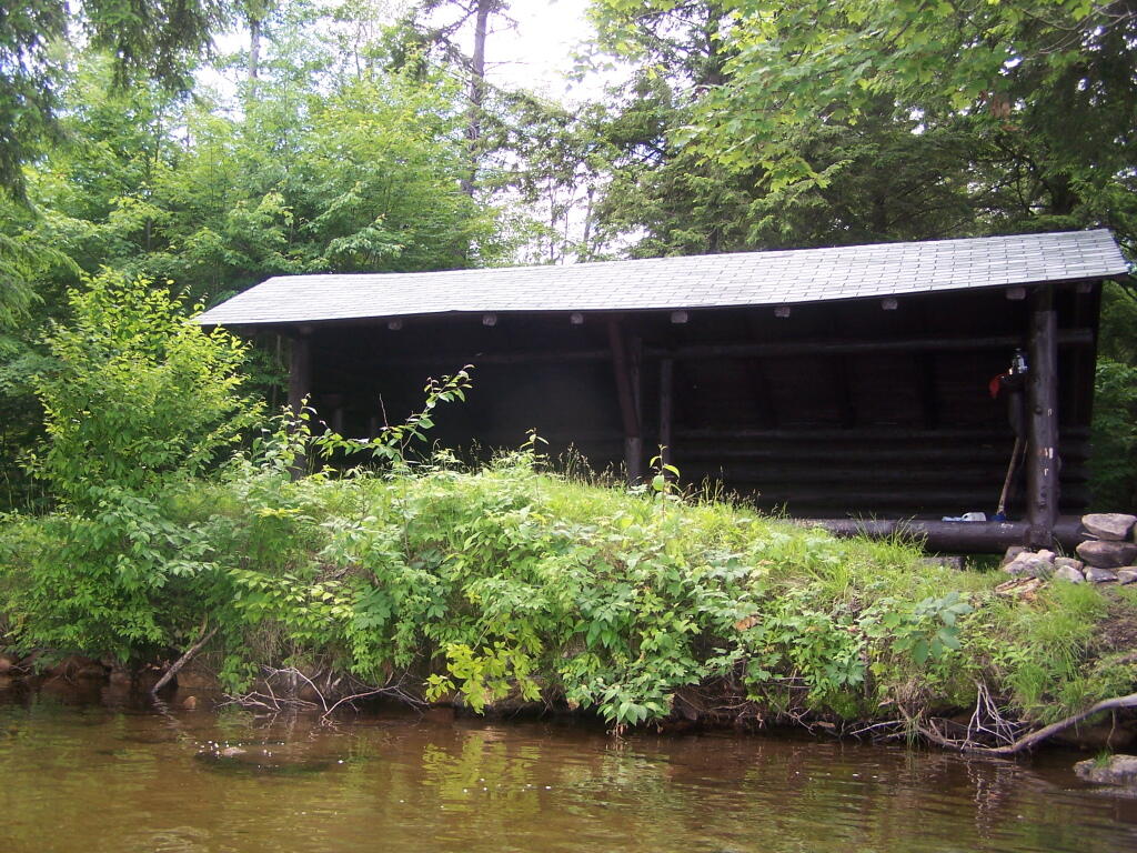
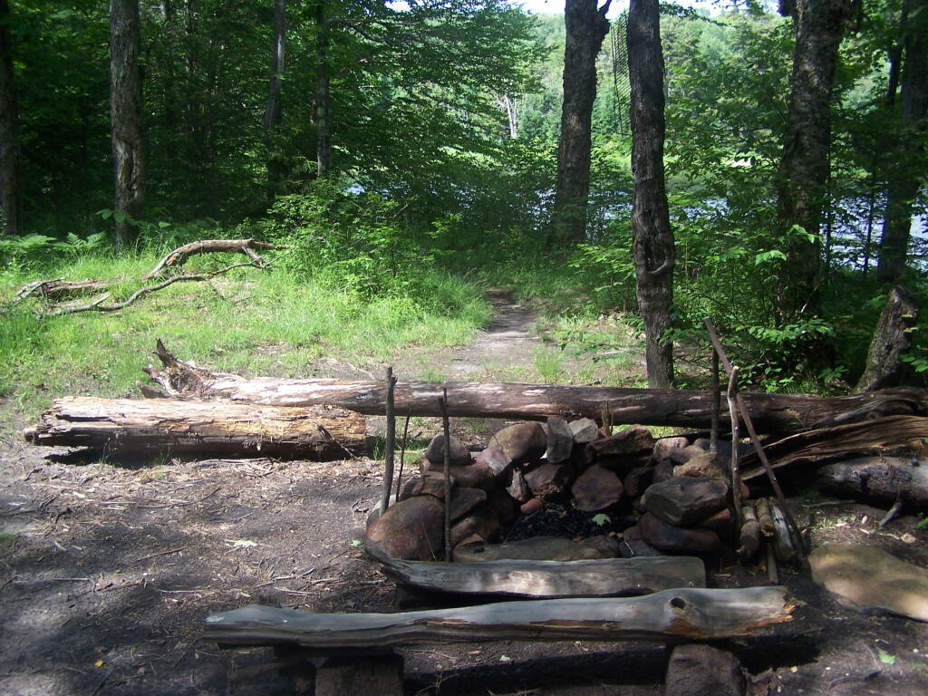
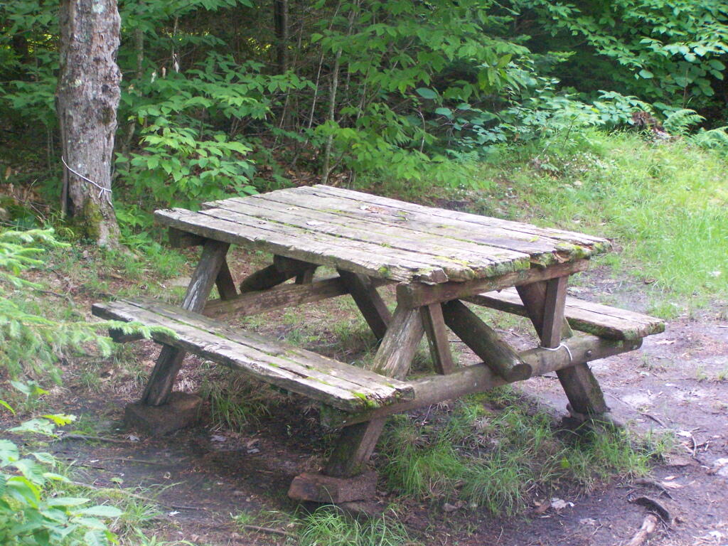
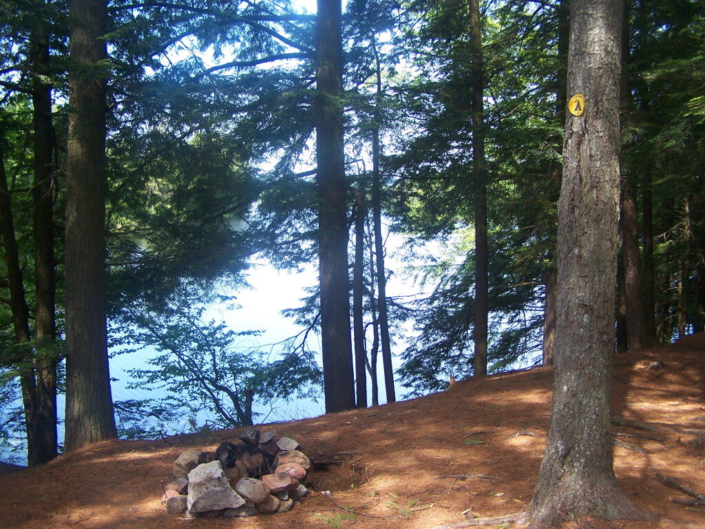
None of these campsites are particularly fancy, although there is a single outhouse for the first grouping of campsites on the southern port of the road.

Gulls on the breakwater

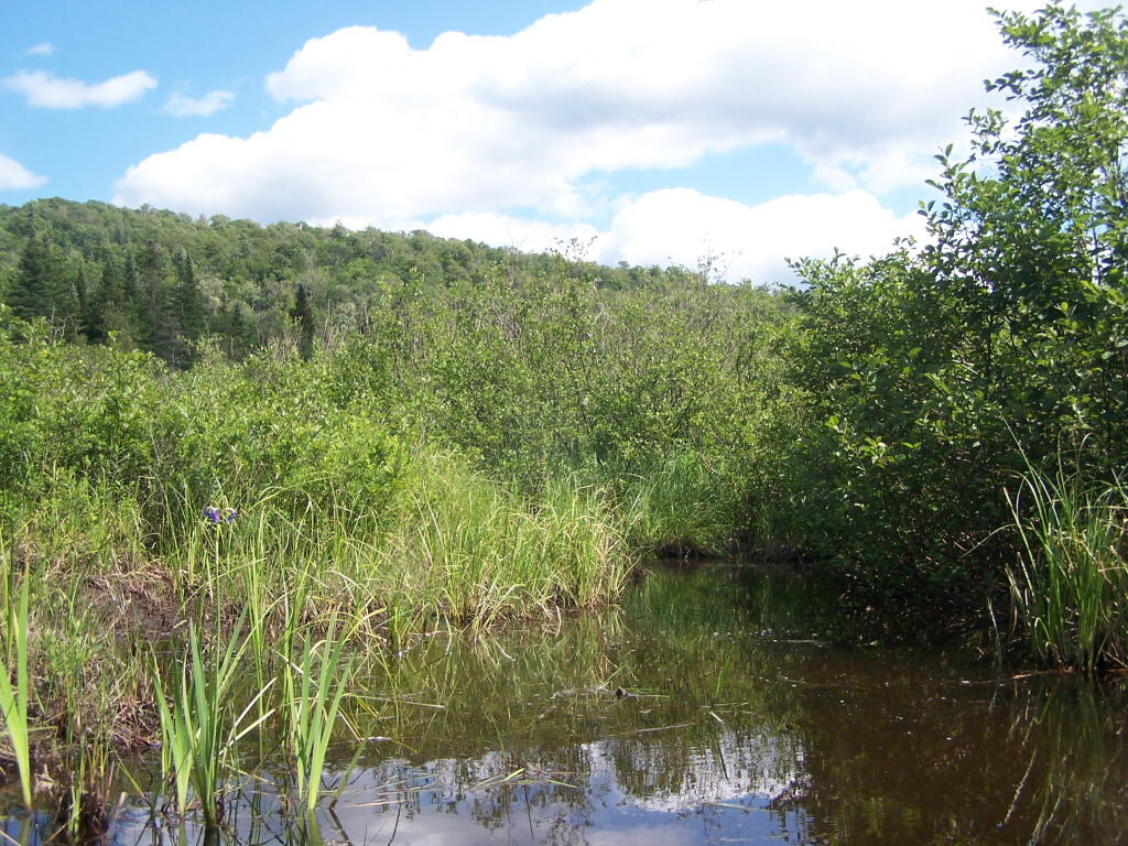
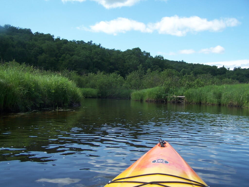
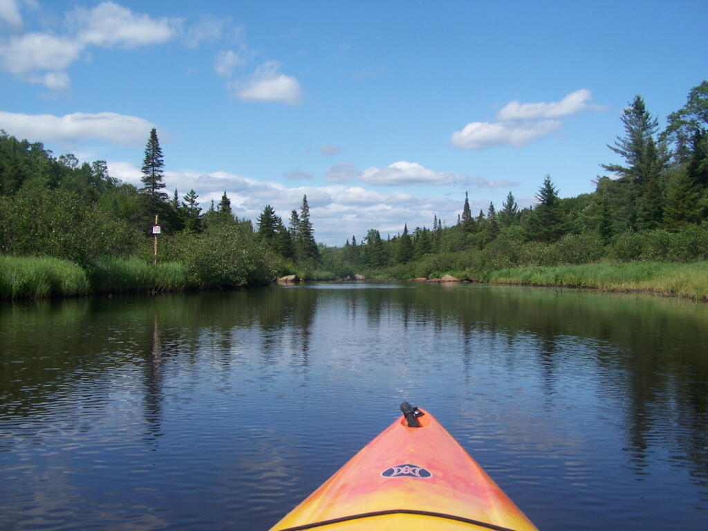
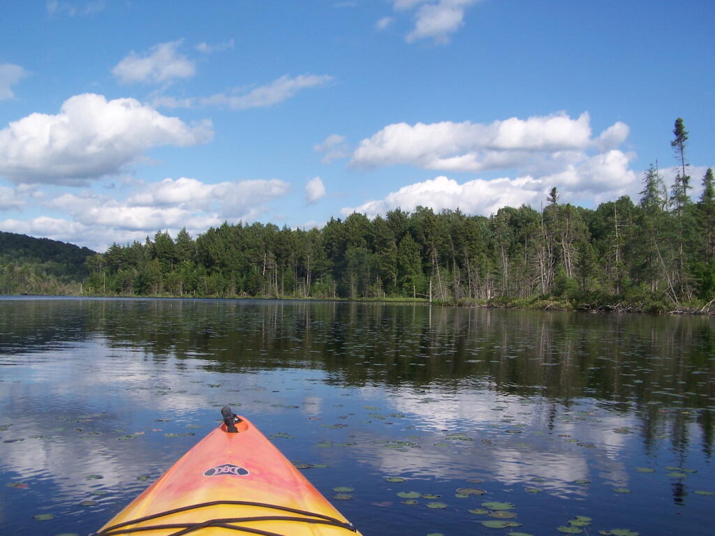
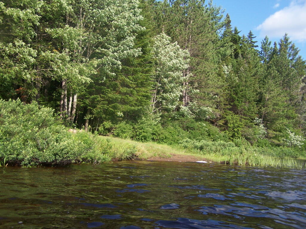
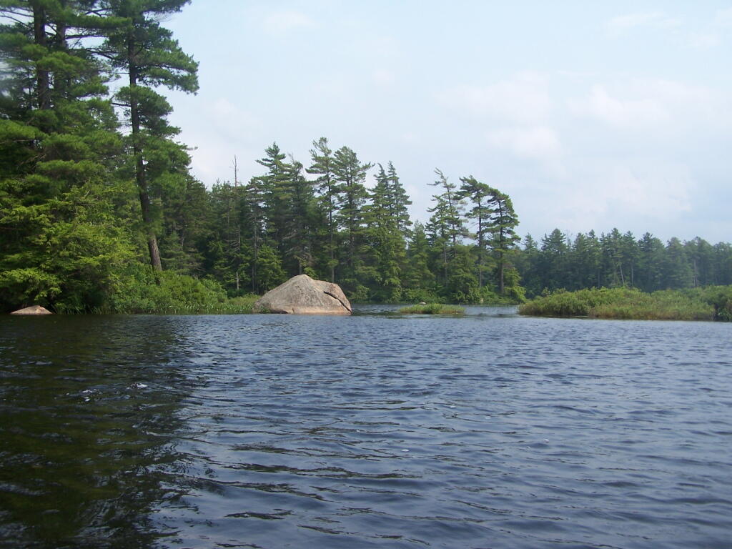
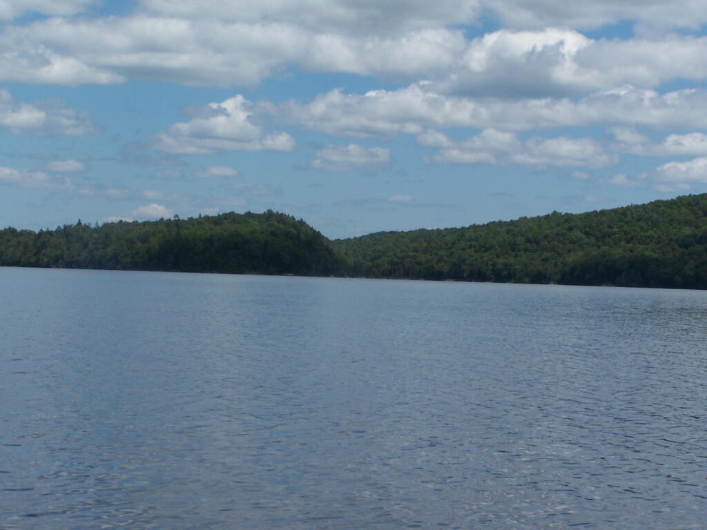
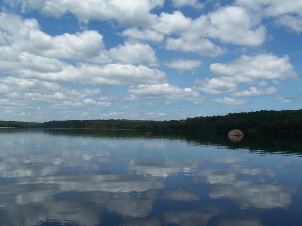
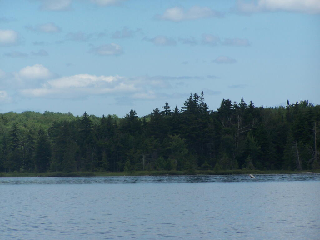
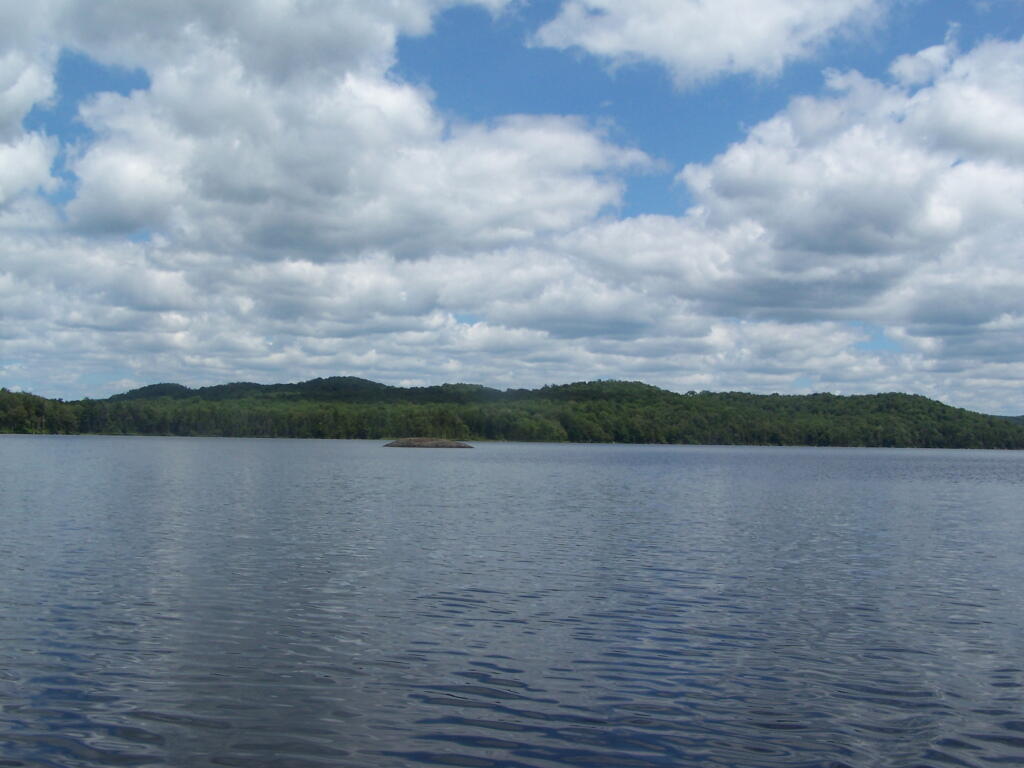
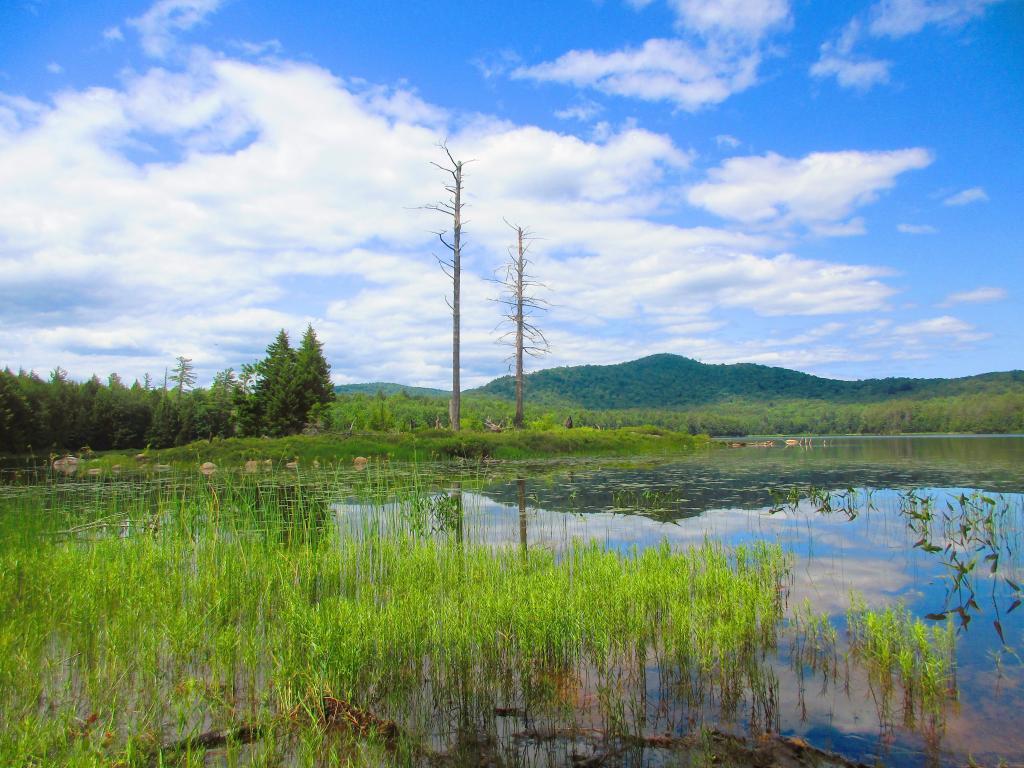
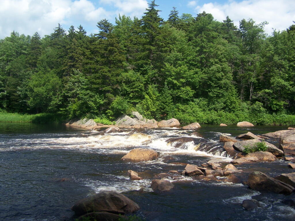
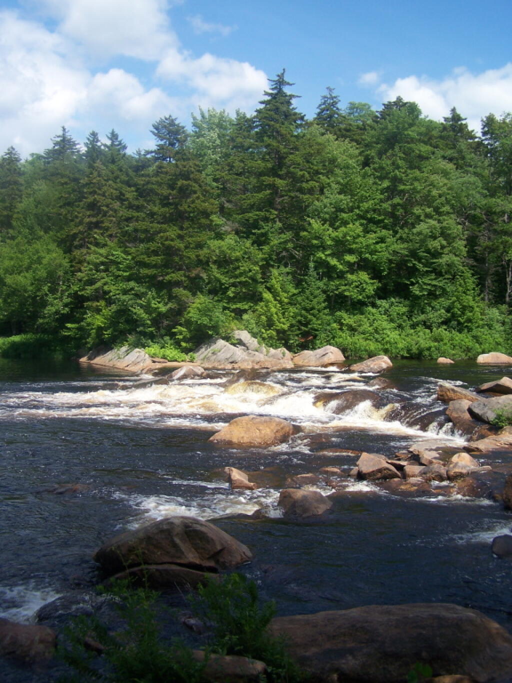
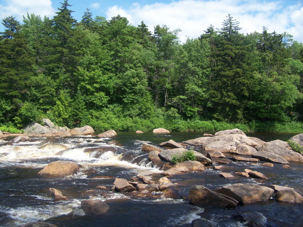
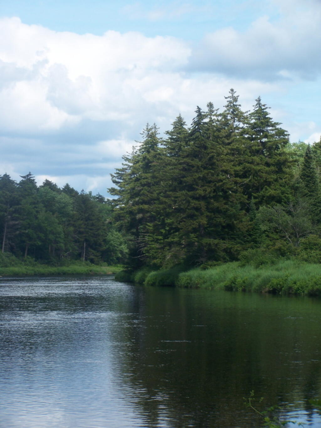
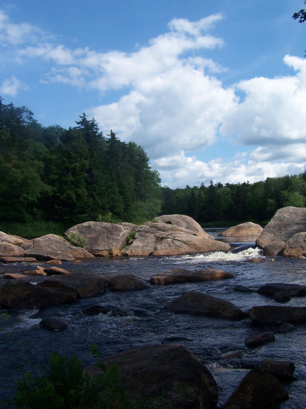
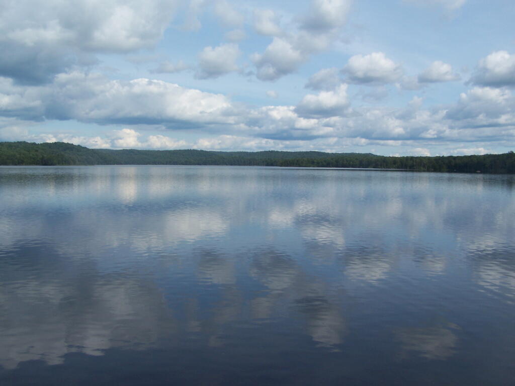
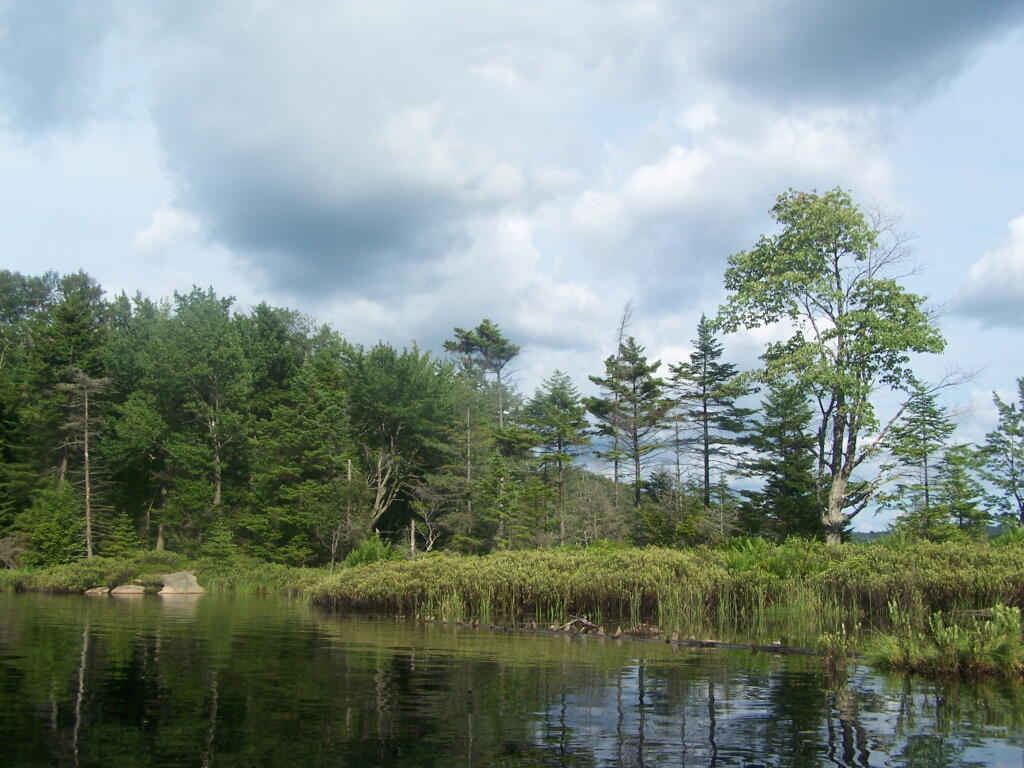
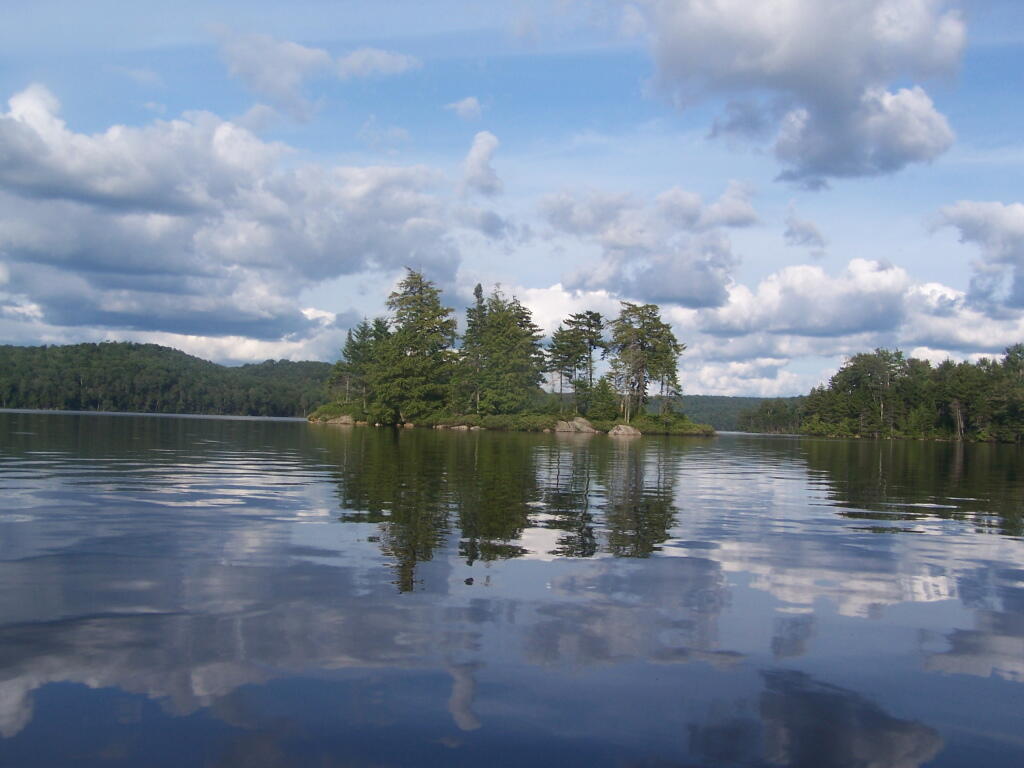
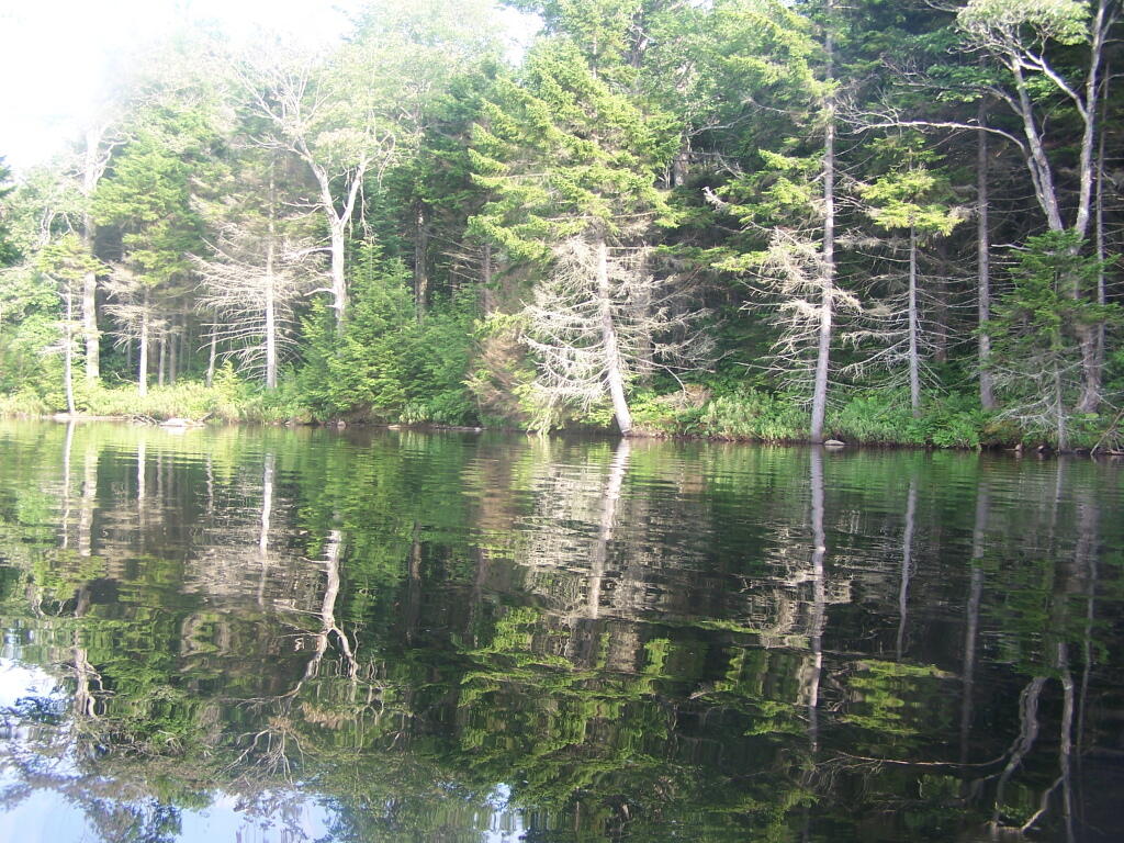
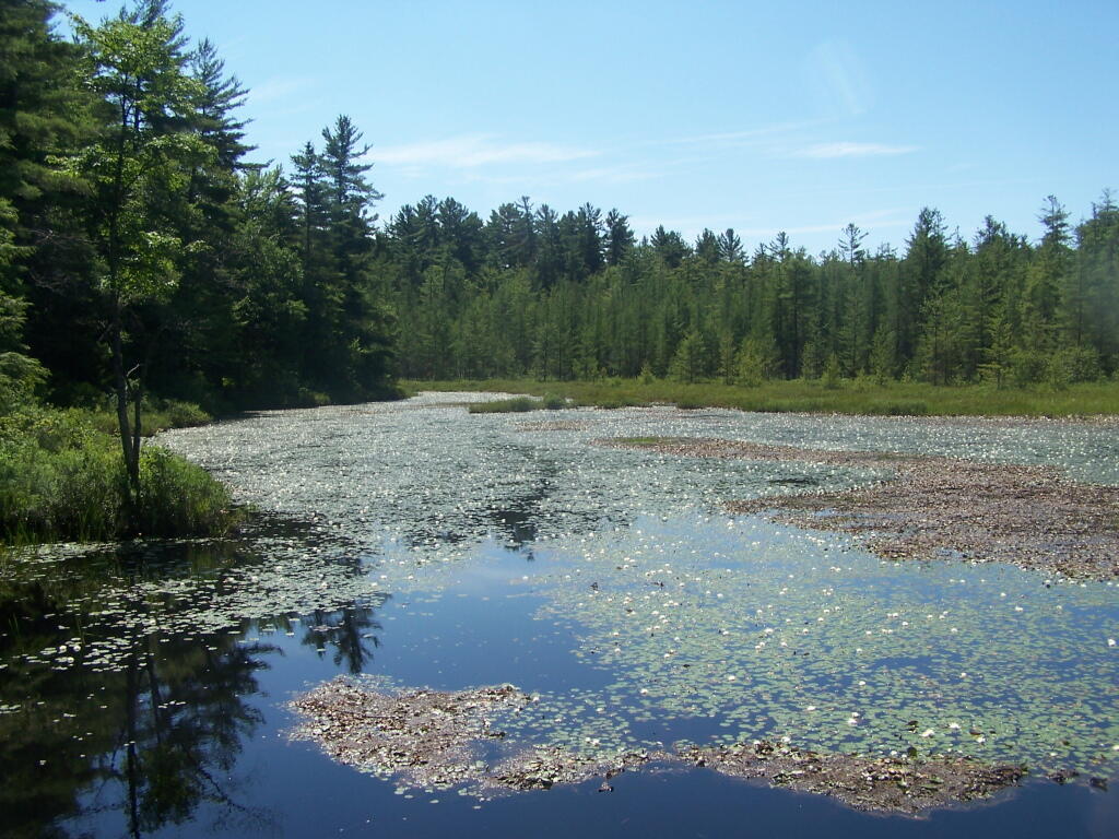
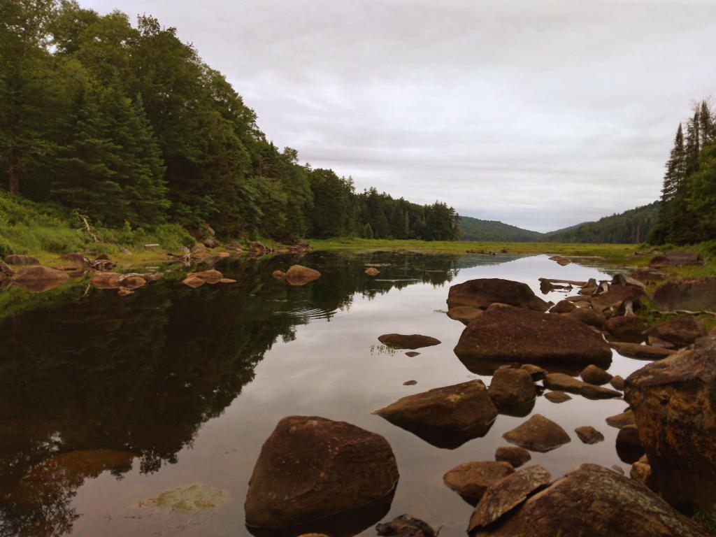
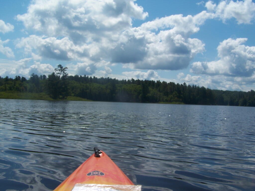
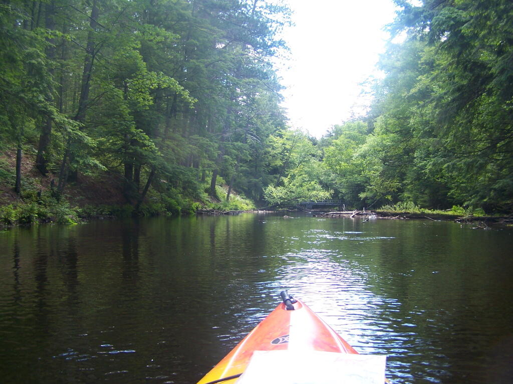
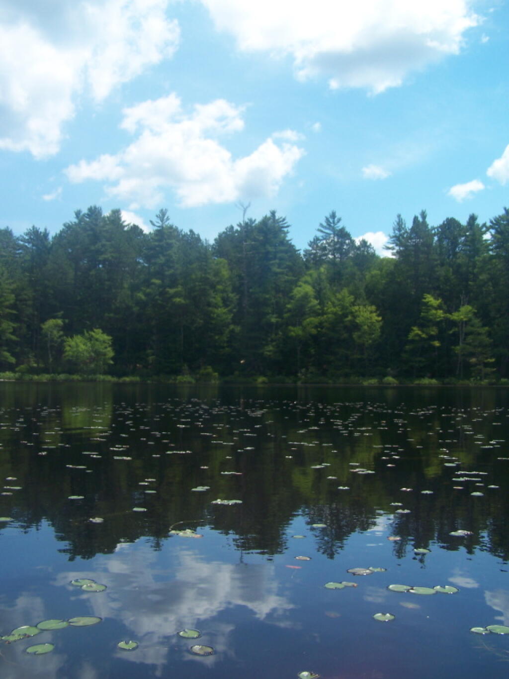
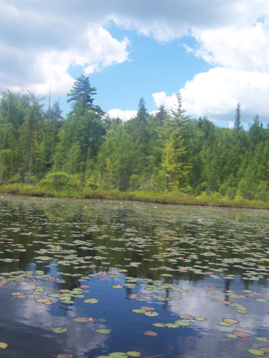
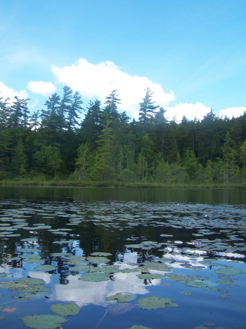
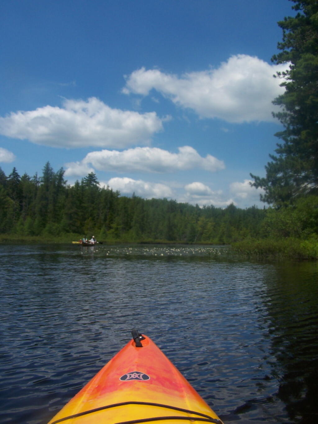
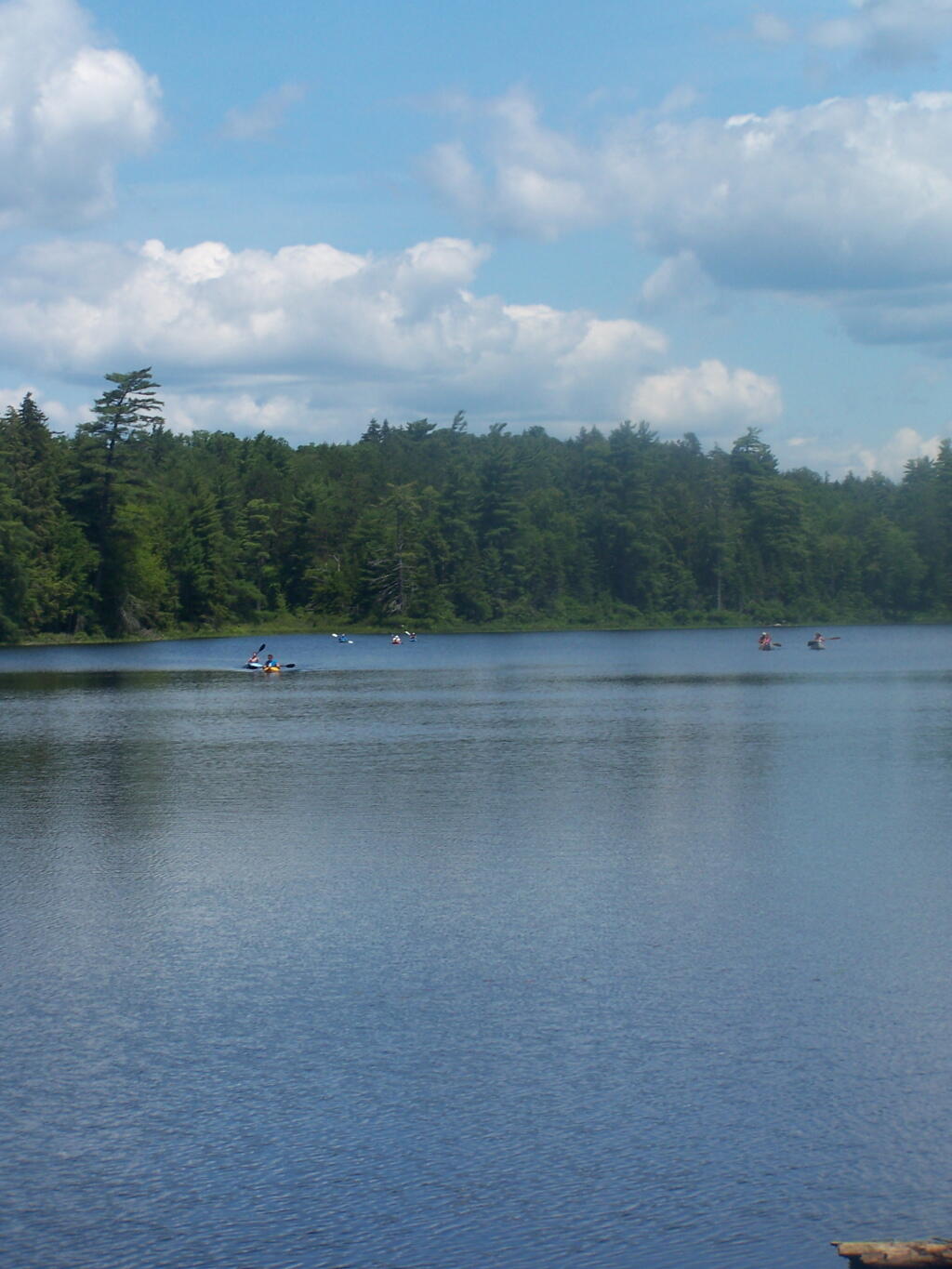
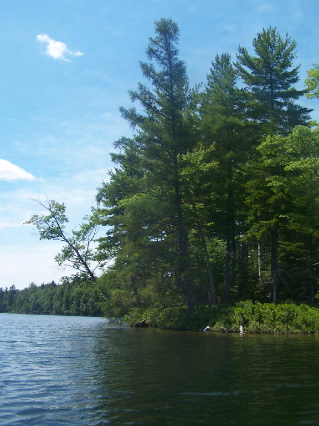
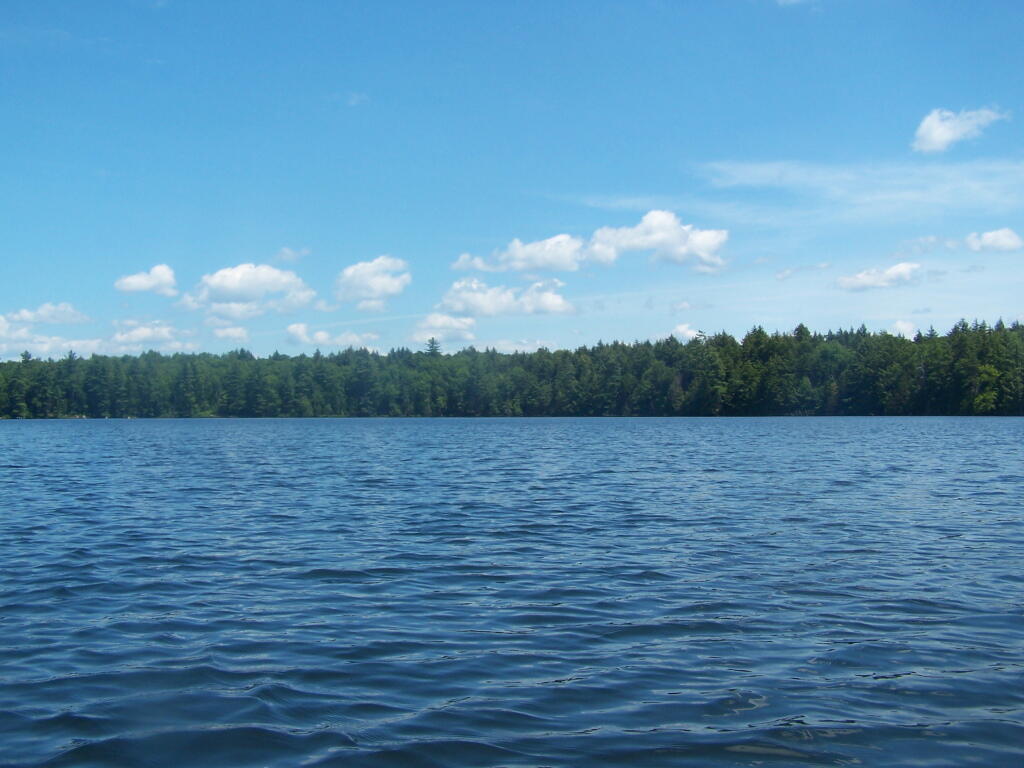
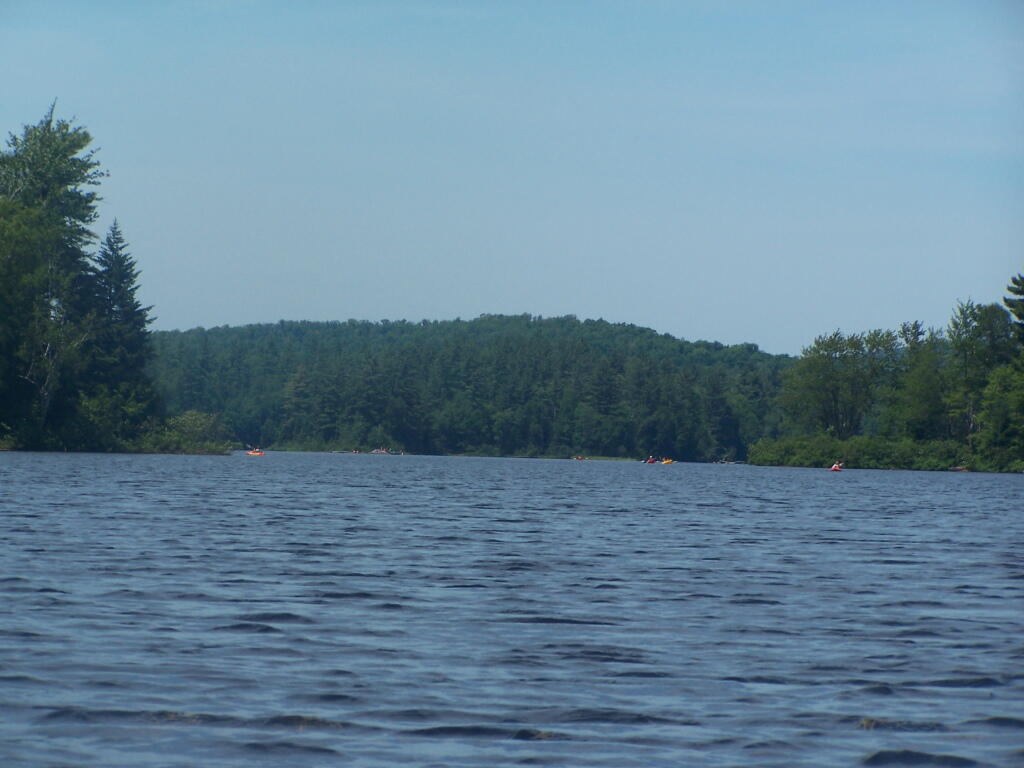
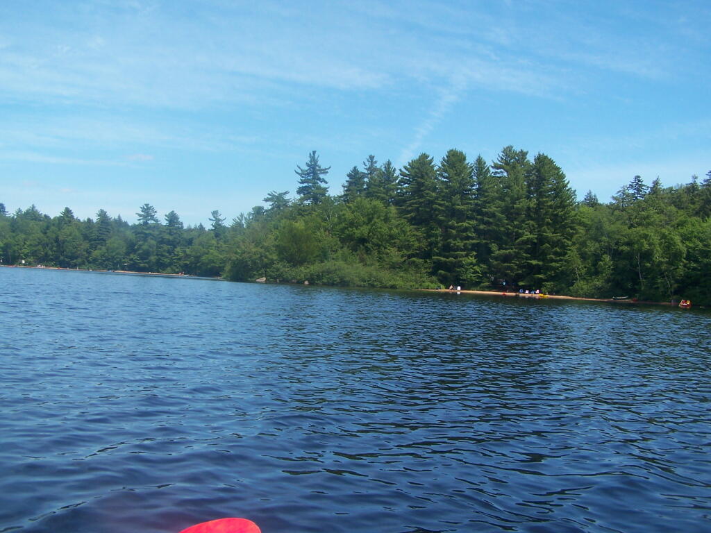
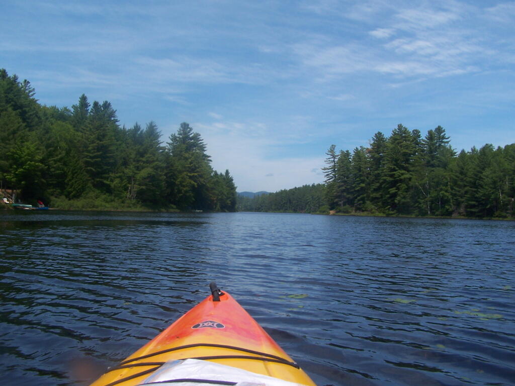
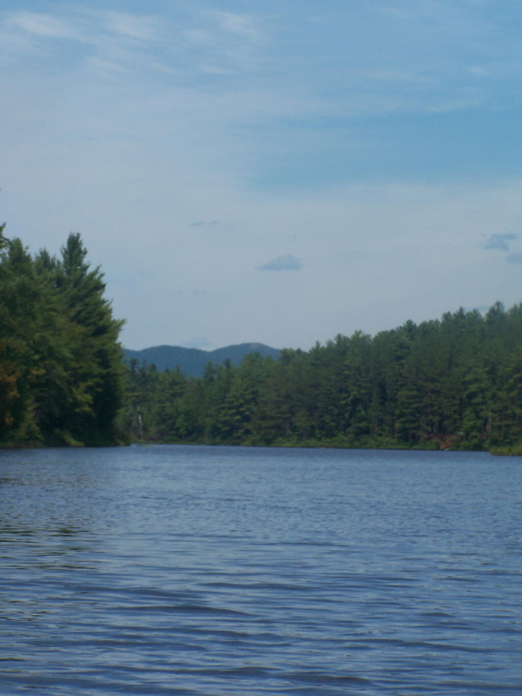
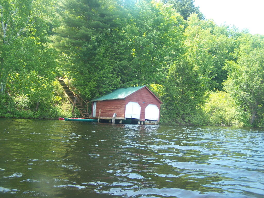
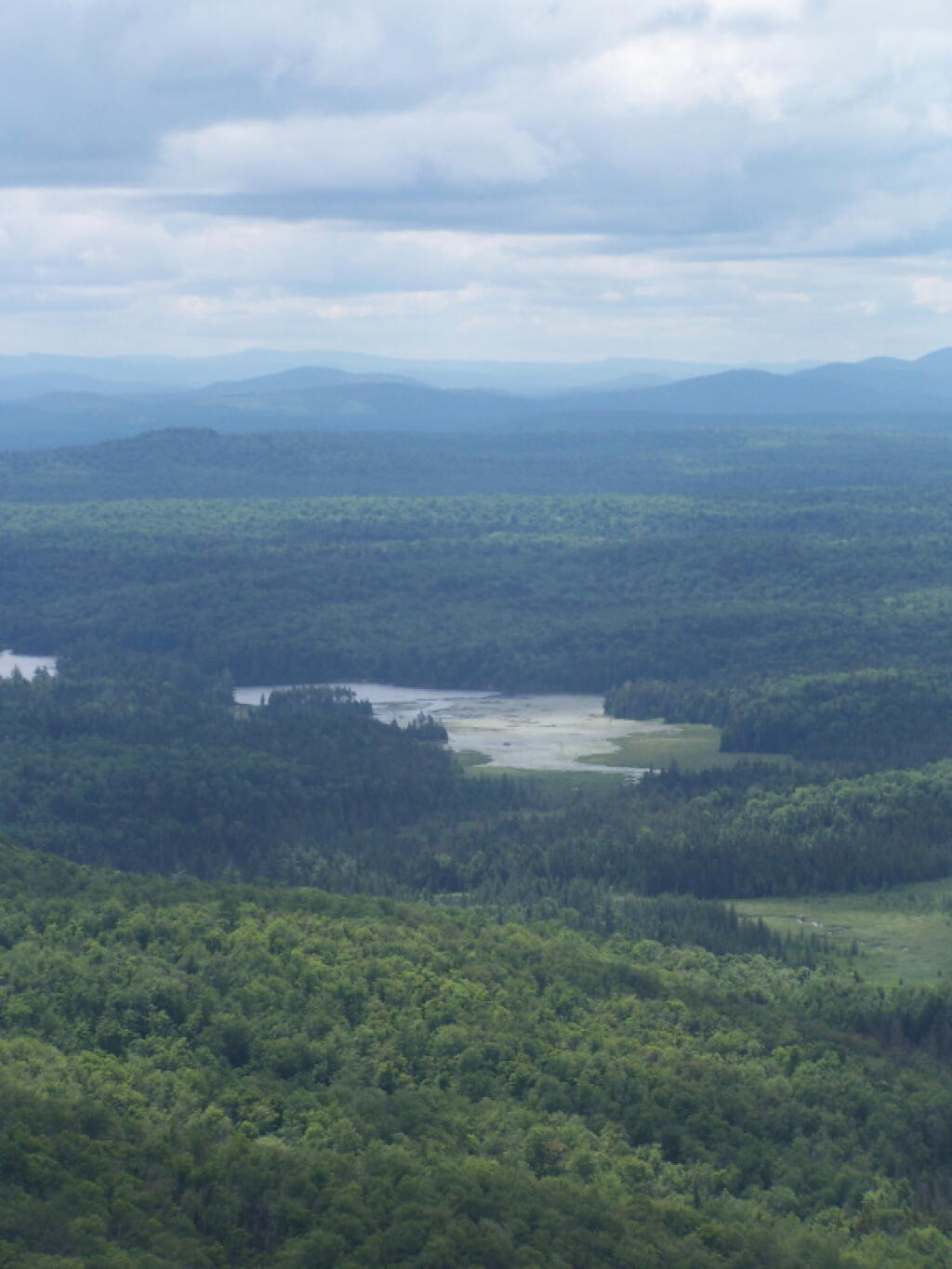
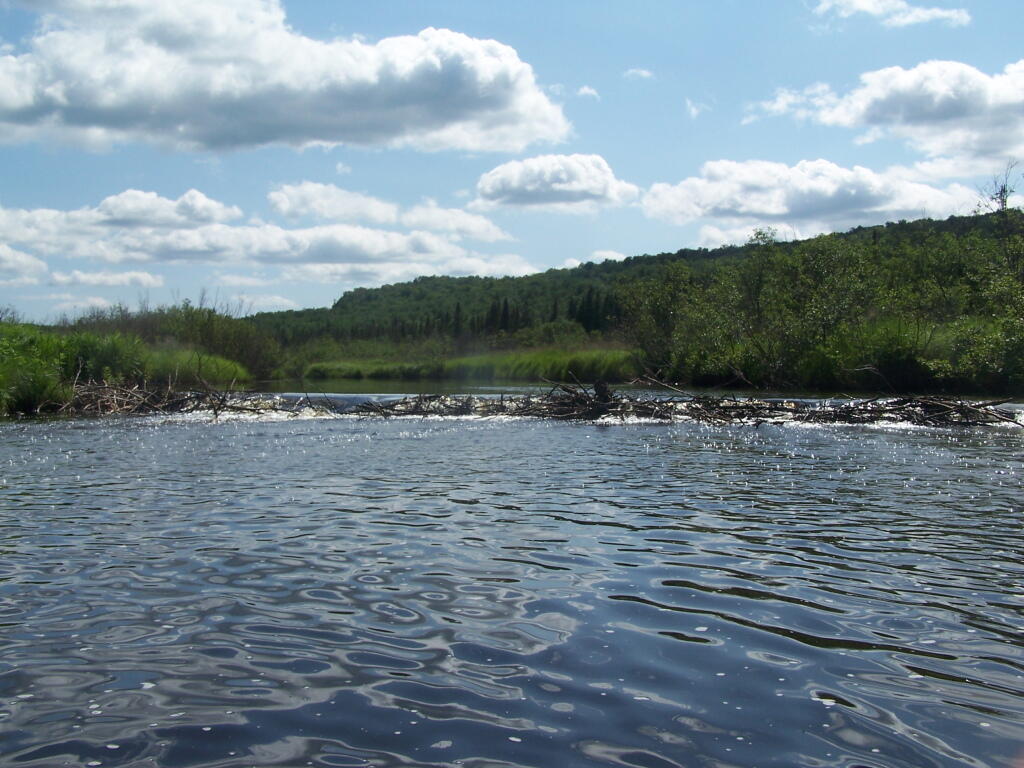
All of the campsites run along Stoney Creek …
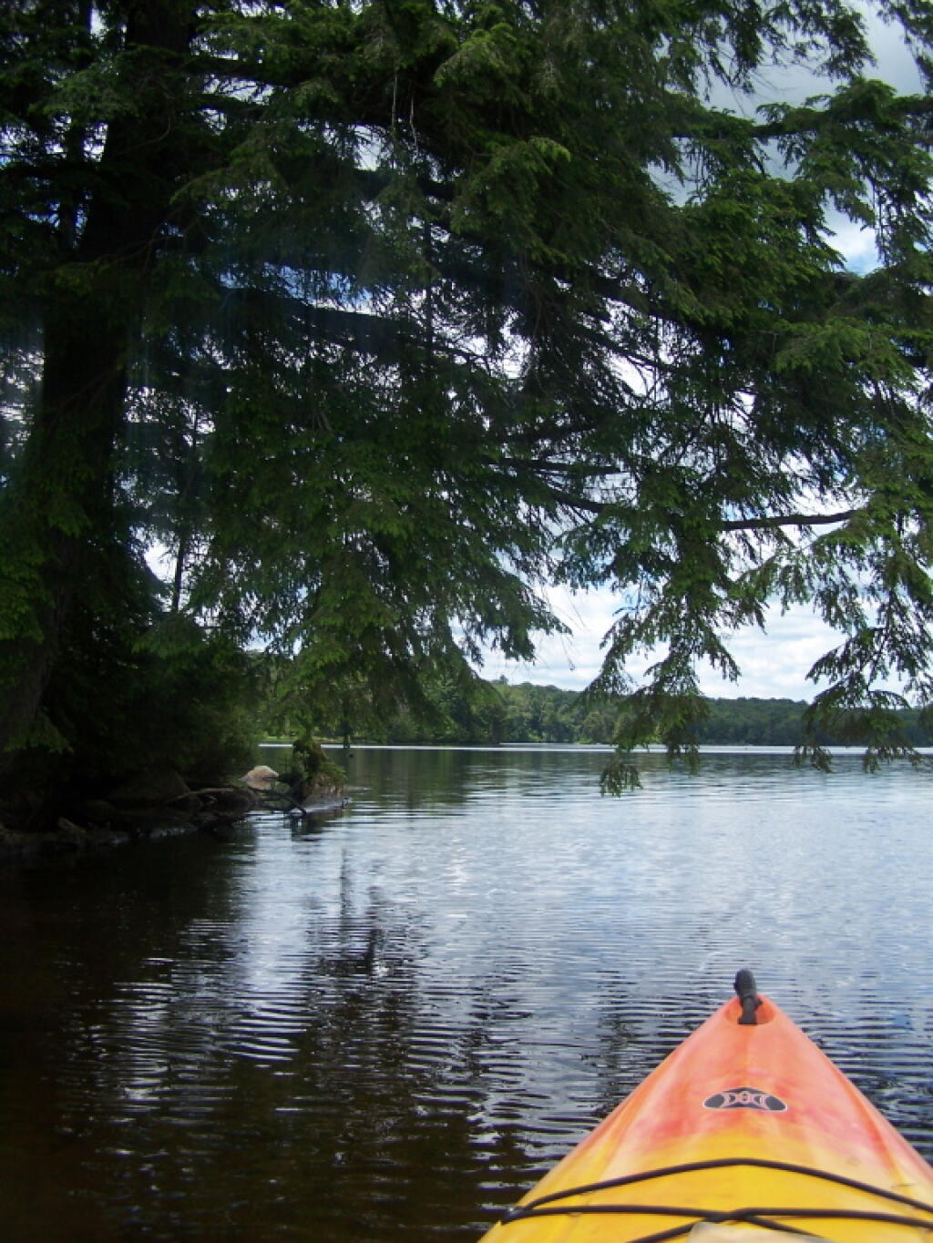
Stoney Creek

Pumpkin Hollow.

The campsites are a ways back on Pumpkin Hollow Road, a dirt road, beyond Willis Lake and the camps along it. Pumpkin hollow is a short ways south of the Sacanadaga River DEC Campground, it starts out as a paved road by a white house, then eventually a mile or two back becomes unpaved and one lane.

Blue skies

You can print the above map by clicking on it and printing it.

Willis Lake

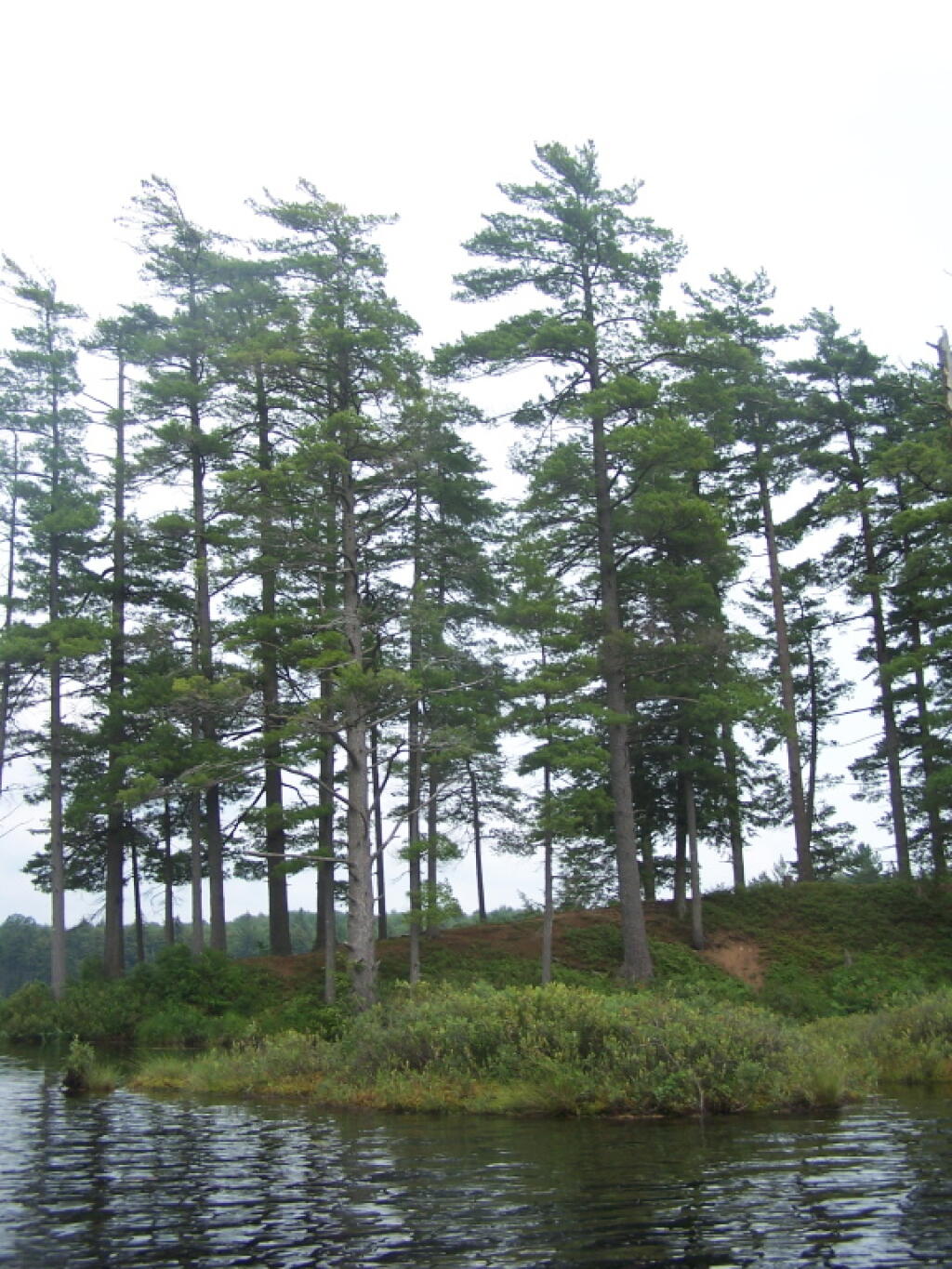
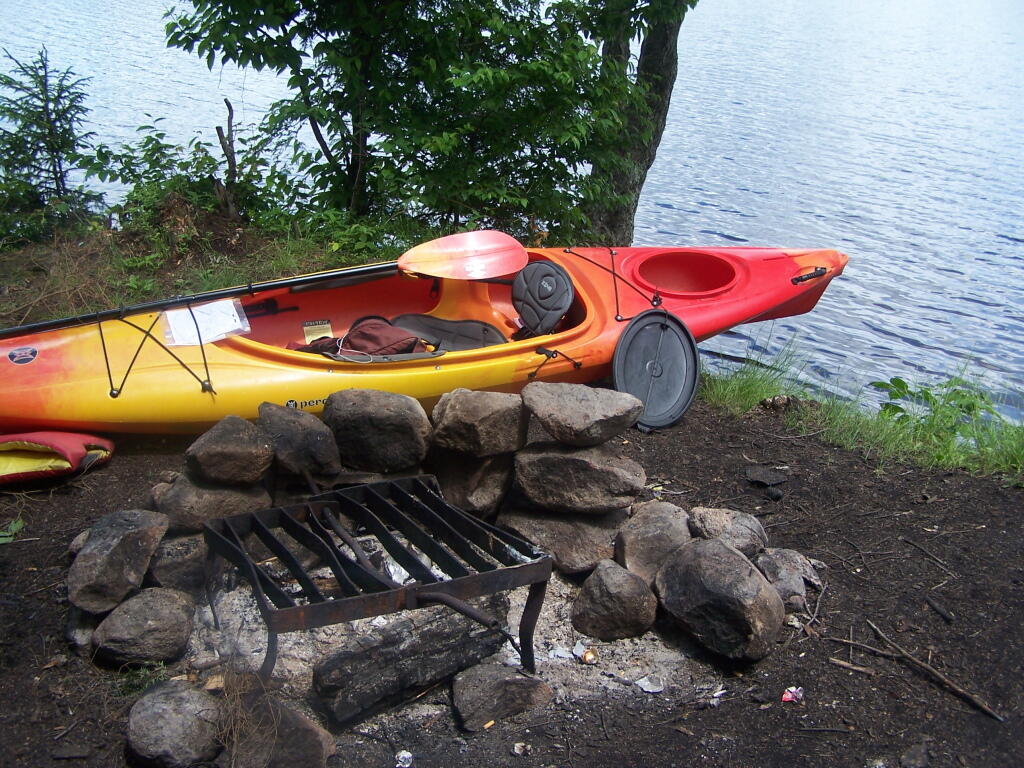
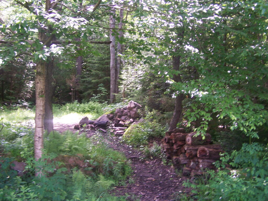
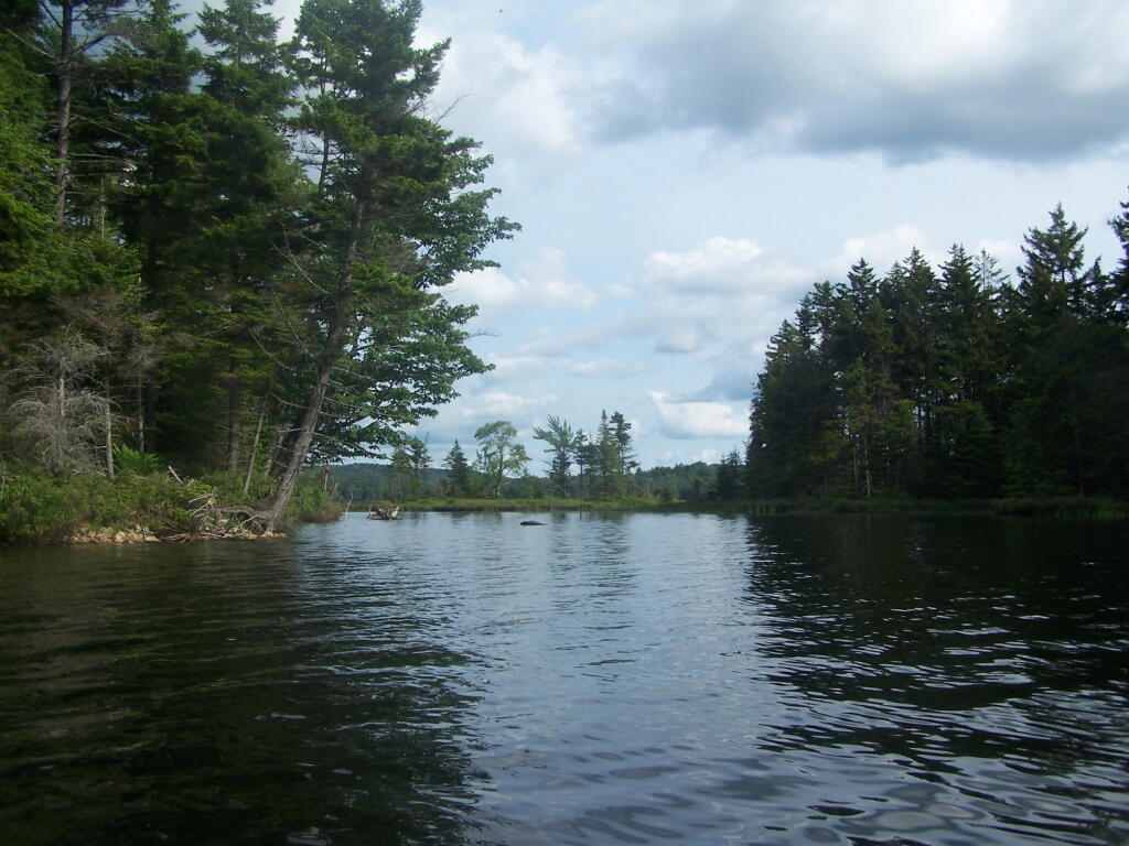
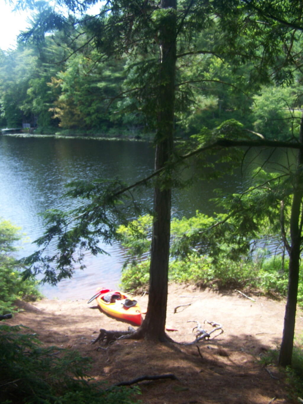
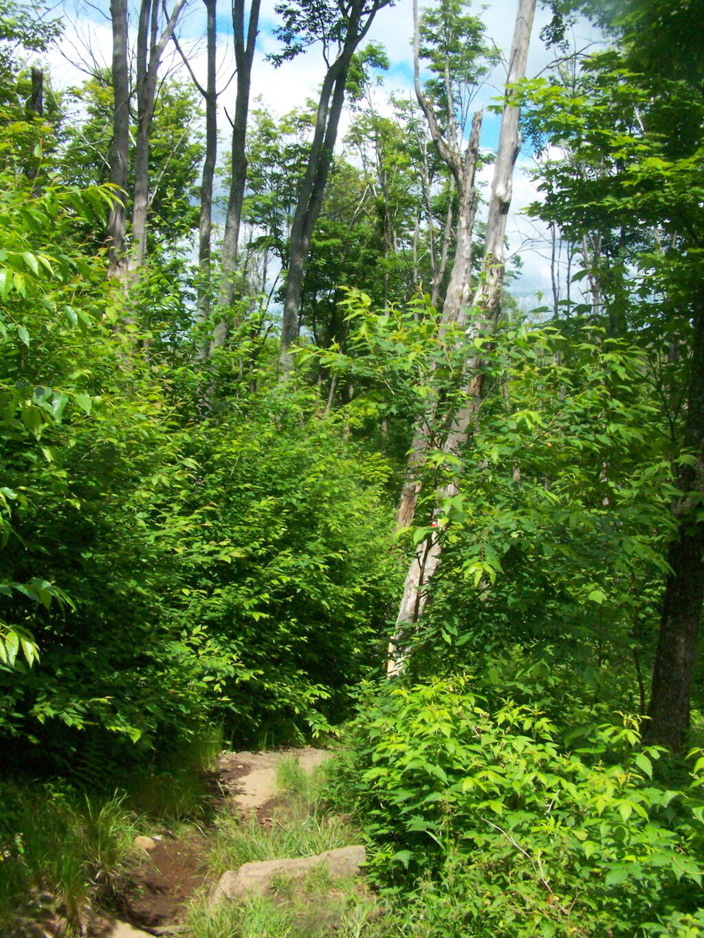
Here’s sample designated campsite on Pumpkin Hollow Road.

Designated Campsite

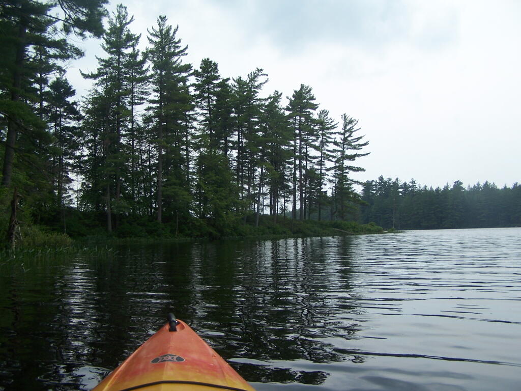
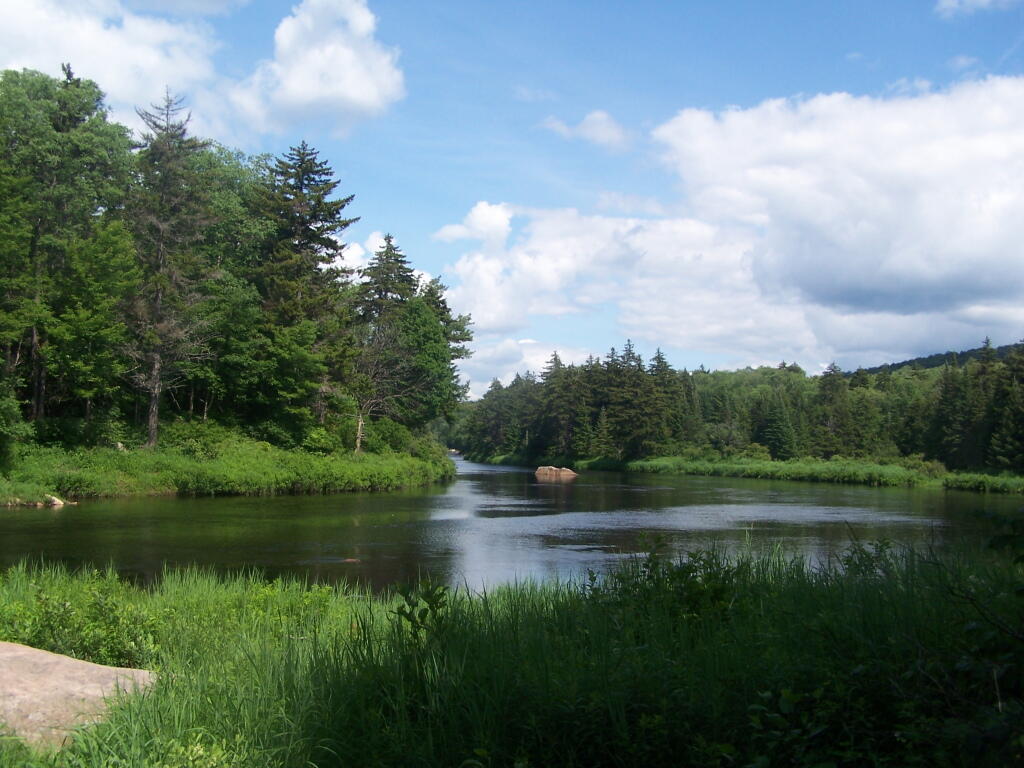
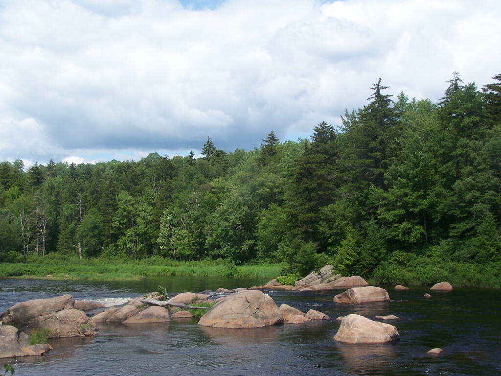
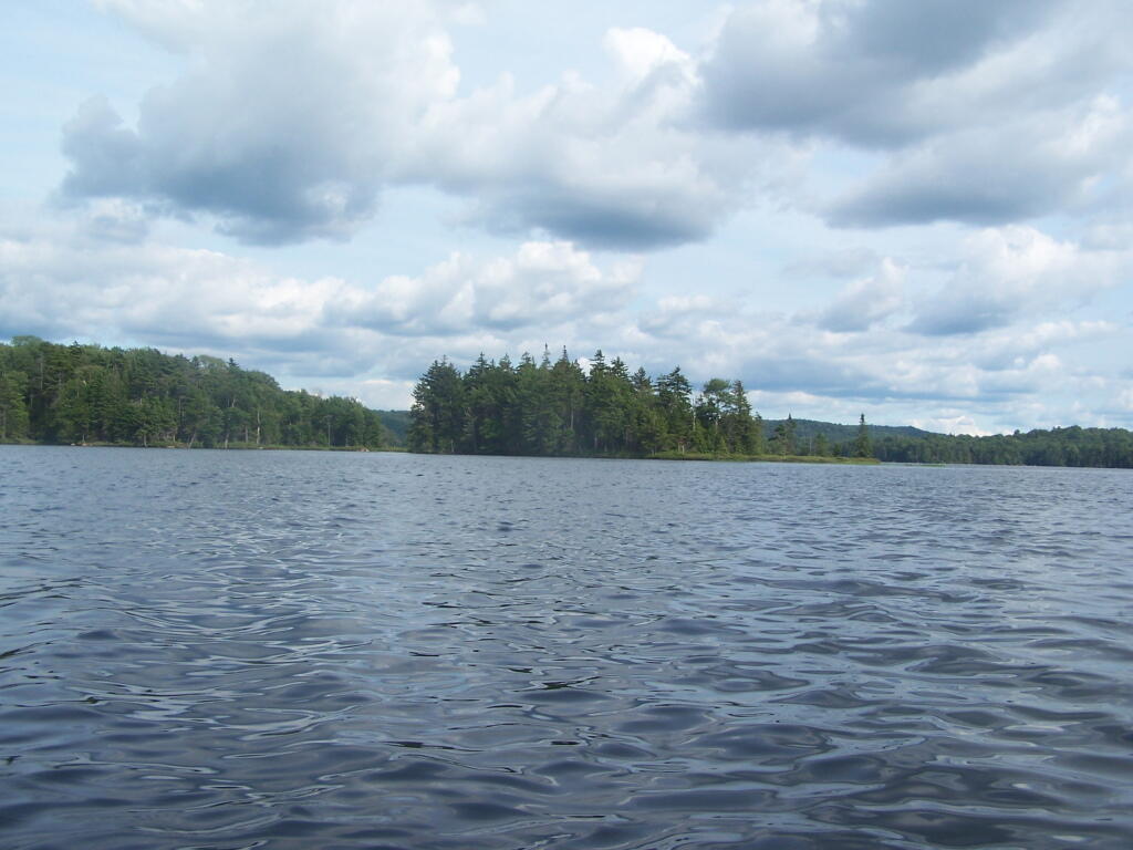
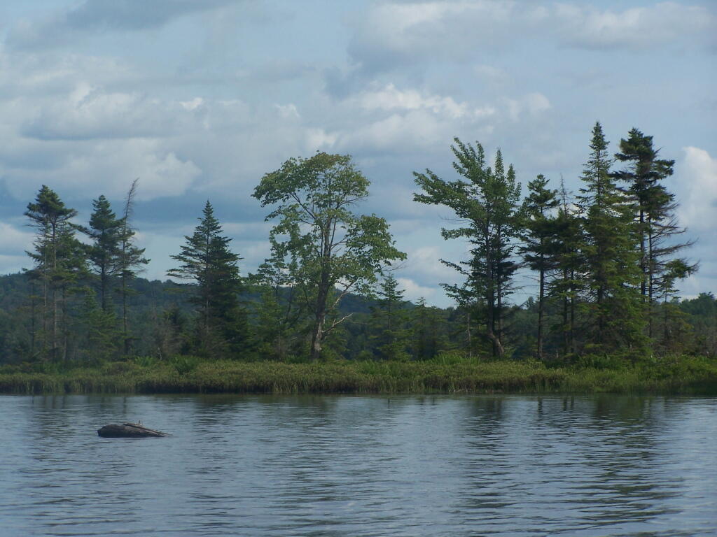
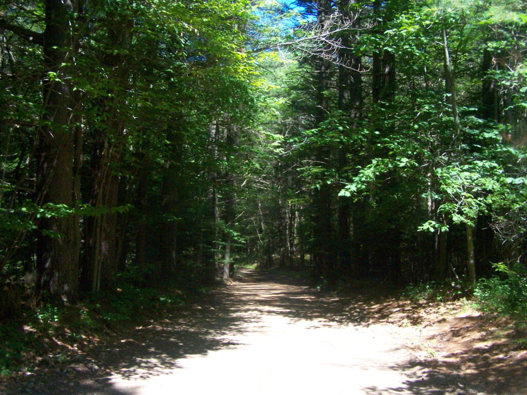
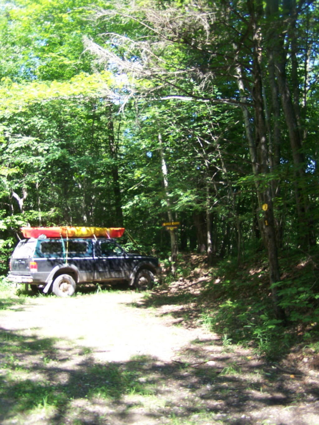
And Pumpkin Hollow Road…

Pumpkin Hollow Road

Floodwood Loop in St Regis Canoe Area

On a nice weekend, expect many people to be joining you on the ever popular Floodwood Loop in the Saranac Lake Wild Forest. While technically not part of the Saint Regis Canoe Area, this area is considered part of series of ponds that makes up this area, and this loop is the most popular of all the canoe routes in this area.

Big Alderbed

Alternatively, take a look at this Google Map of the loop. Balloons are designed campsites, there are no charge to use these sites. Red lines are portages and other trails.

At around 10 AM I headed out. Bright sunny day, a lot of glare. None of the ponds are paticularly large.

Heading Out on Floodwood Pond Loop

The Fish Creek between the ponds is quite narrow, and don’t be surprised if you hit some traffic. In parts the current can be fairly swift, although one can still paddle up or down stream with relative ease, just avoid the other boats.

Fish Creek

Heading Into Little Square Pond

Little Square Pond

Bright Day on the Lake

Spatterdock on Fish Creek

Coppreas Pond

Heading Across Coppreas Pond

Traffic on Coppreas Pond

Canoe Carry to Whey Pond

There is a 1/4 mile portage between Copreas Pond and Whey Pond. Despite being mostly sandy soil, with some roots, do NOT drag your kayak, if you want to avoid putting holes in it, as I learned the hard way.

Poliwogs on Whey Pond

Trees Along Whey Pond

Out on Whey Pond

Paddling Across Whey Pond

There also is another short portage over a road, and through the Rollins Pond Campground, after you leave Whey Pond.

Passing Rollins Pond Campground

Heading Across Rollins Ponds

Traffic on Rollins Pond

Past Swimming Beach at Rollins Pond

Narrow Passage Between Rollins Pond and Poliwog Pond

Back Out on Floodwood Pond

Towards St Regis Mountain

St Regis Mountain

Parked a Campsite on Floodwood Pond

Designated Campsite on Floodwood Pond

Private Kayak

Small Island

Heading Back Into Shore

Overview of the Saint Regis Canoe Area, including other ponds and all of campsites.

At the Shore

And if you prefer roadside camping with a trailer or pickup truck cap, take a look at these sites.

… I hope you enjoyed these pictures and maps from the Floodwood Loop.

Kayaking Francis Lake

Near Number 4 is Francis Lake on Stillwater Road. It’s not the world’s largest lake, but it does offer some interesting kayaking with good views, as you paddle around this lake. There are some private inholdings along the lake, but most of the lake is pretty wild.

Swimming Hole Off Old Edick Road

Click above to download the high resolution version of map for printing…

Pictures of the Trip…

Putting Out on Francis Lake

 Water is Bit Choppy on Francis Lake

In a Calmer Bay of Francis Lake

Exploring Rear Portion of Francis Lake

Trees Along Edge of Francis Lake

Kayaking Woodhull Lake

To get to Woodhull Lake, you have to take McKeever Road from NY 28 in McKeever (1/2 mile before it crosses the Moose River, then drive back about 6 miles on a dirt truck trail known as Wolf Lake Landing Road. You put in at Wolf Lakes Landing, which is named after one of the lakes that Woodhull Lake covered when it was dammed up to form a larger lake to provide water supply to the Erie Canal.

 Woodhull Lake

While the road is fairly well maintained one-lane gravel truck trail, one creek crossing is a bit eroded from the rains of 2011. There are roughly 6 designated roadside campsites along the road, with minimal to no facilities that you can camp at. You can drive all but an 1/8th of a mile up to Woodhull Lake, where the road is gated off, from there you have to carry your kayak or canoe to the lake on the gravel road. Consider using wheels on your kayak to assist on this portage.

Here is a map of Woodhull Lake. Consider clicking on it, for a high-resolution map that you can print up, put in a plastic bag and use on the trip like I did. It works really well like this, and I think this map prints out to be nice and high resolution, especially if you have a color printer.

Heading Out to Woodhull Lake

Beautiful Morning Out

Camp

Boulder Sticking Up in Lake

Past Remsen Point

Trees on Remsen Point

Big Island

Boulders in the Lake

Another nice evening in America's most ethical capital

Big Island

Reflections

Passing Under a Low Tree

Motor Boat

North Side of Lake

Parked at Woodhull Lean To

Inside Woodhull Lean-To

Large Lean-To

Lean-To from Lake

Remsen Falls Trail

Intersection of Woodhull Mountain Trail and Remsen Falls Trail

Wilcox Lake

Campsite 1 at Remsen Falls

East on Middle branch of Moose River

Above Remsen Falls

Campsite 2 at Remsen Falls

Remsen Falls

The Falls

Falls

Along Moose River

Whitewater at Falls

Water

Decent Picnic Table at Campsite 2

Remsen Falls Signs

Later in Evening On Lake

Island on the Lake

Behind the Island

Trees on Island

Exploring Back of Island

Clouds in Evening

Clouds in Evening

Doe and Fawn on Lake

Keeping an Eye on Me

Another Island

Reflections