high peaks

Goodnow Mountain

Goodnow Mountain πŸ—» 🚢‍♀️

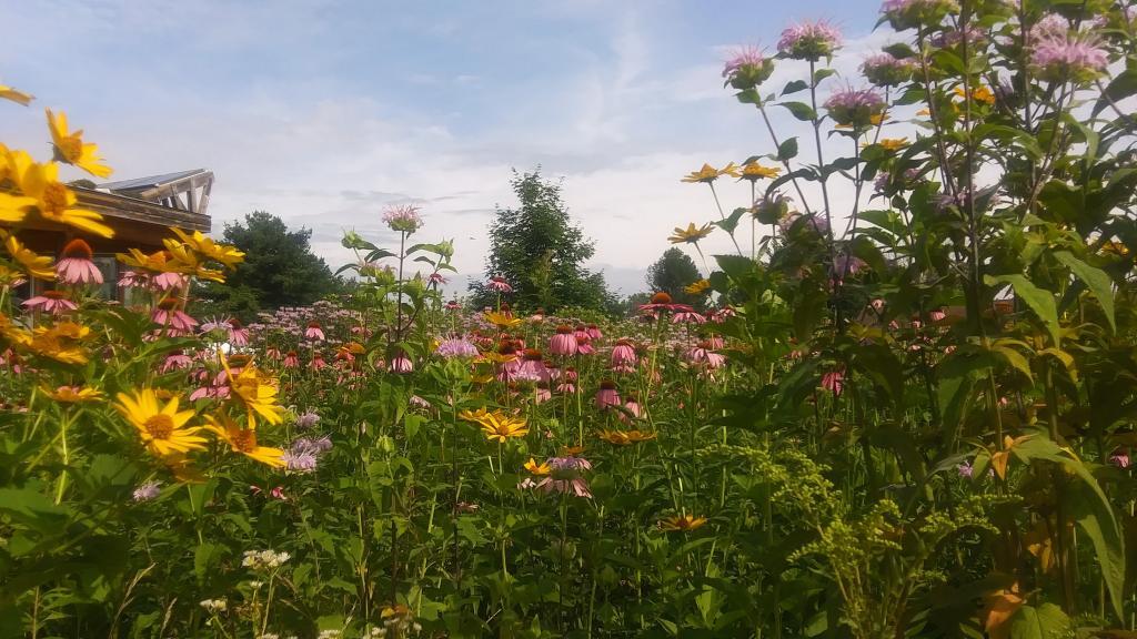
A couple of weeks ago I hiked up Goodnow Mountain, on a beautiful clear afternoon, that by the time I reached the mountain it started to cloud up and the humidity started to increase. I had previously in the morning attempted to hike up Giant Mountain in the High Peaks, and wanted to do something easier for the afternoon.

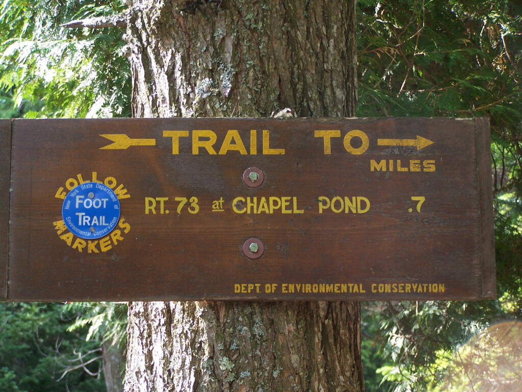
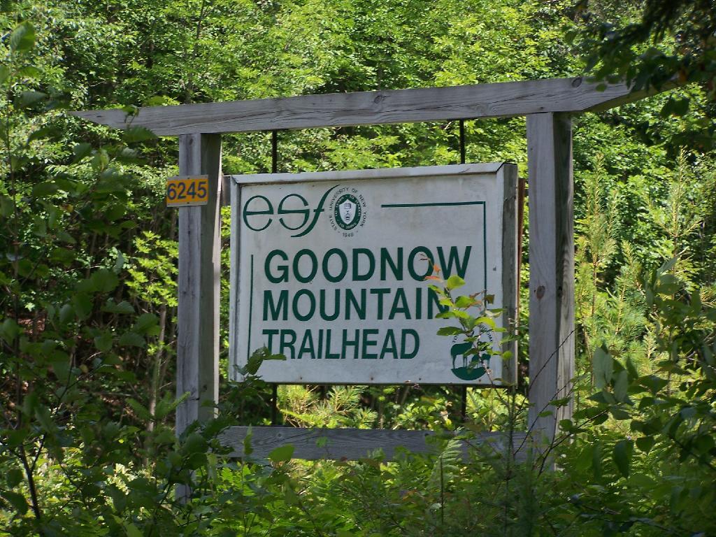
Goodnow Mountain is located at the SUNY ESF (Environmental Science-Forestry) College, just south of the Adirondack High Peaks on NY 28, just to the west of Newcomb. It’s a bit of a drive from the Adirondack Northway from the east or even a little ways from Long Lake to the west, but well worth it for the views.

 Trailhead Sign

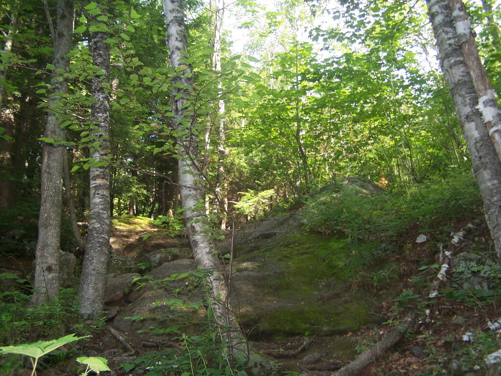
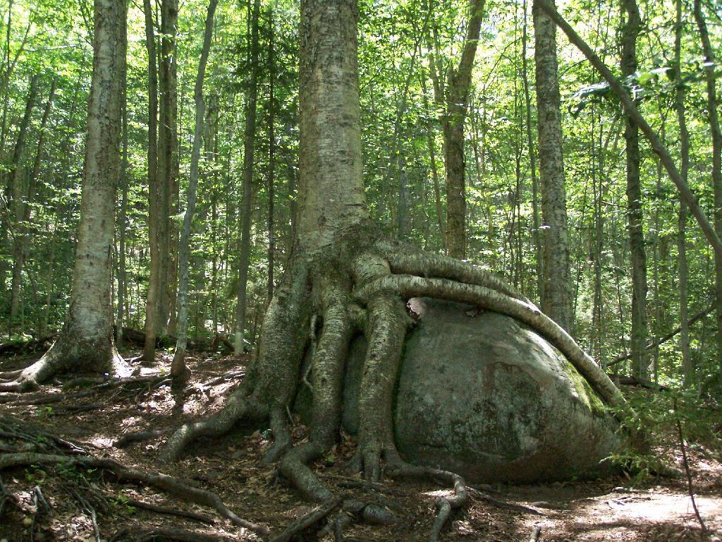
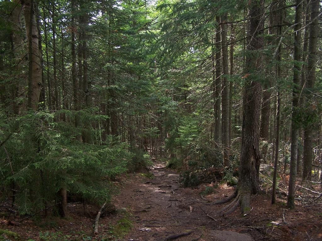
About a quarter mile up the trail you pass an interesting tree grown over a rock. This is not as uncommon as you might think in the Adirondacks where the soils are poor and the ground is rocky, and trees seek to put down more roots to pick up nuetrants.

Tree Grown Over Rock

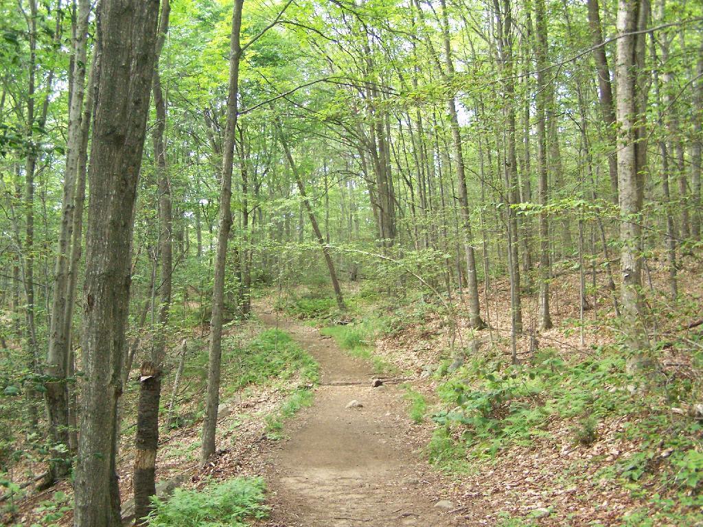
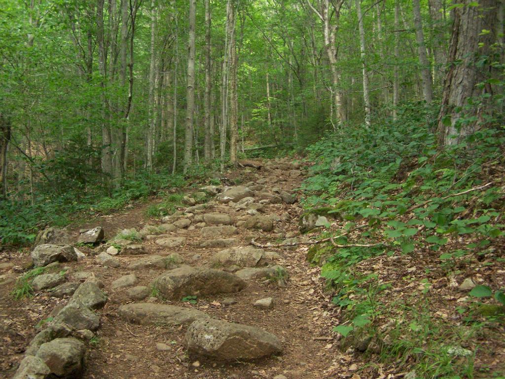
At about 1/2 mile you reach the old woods road that at one time, decades ago, provide vehicular access to the tower for forest rangers. Part of the trail is flat, but then it keeps steeper and erosion is noticable on the old road bed, no longer passable by anything then ATV in an emergency.

Trail Follows Old Woods Road

Rougher Part of the Trail

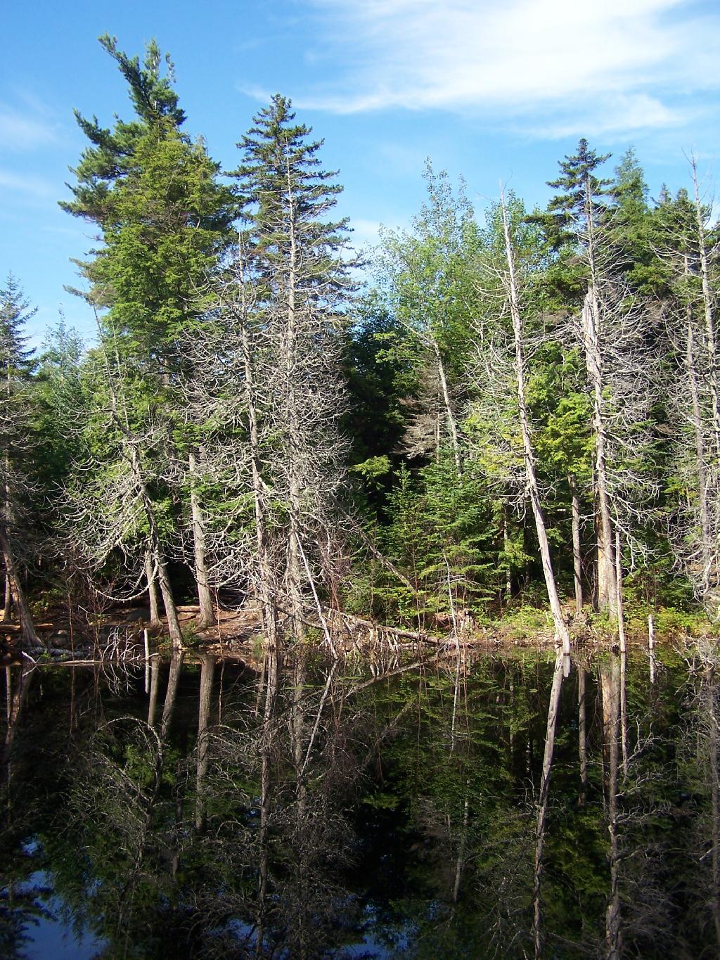
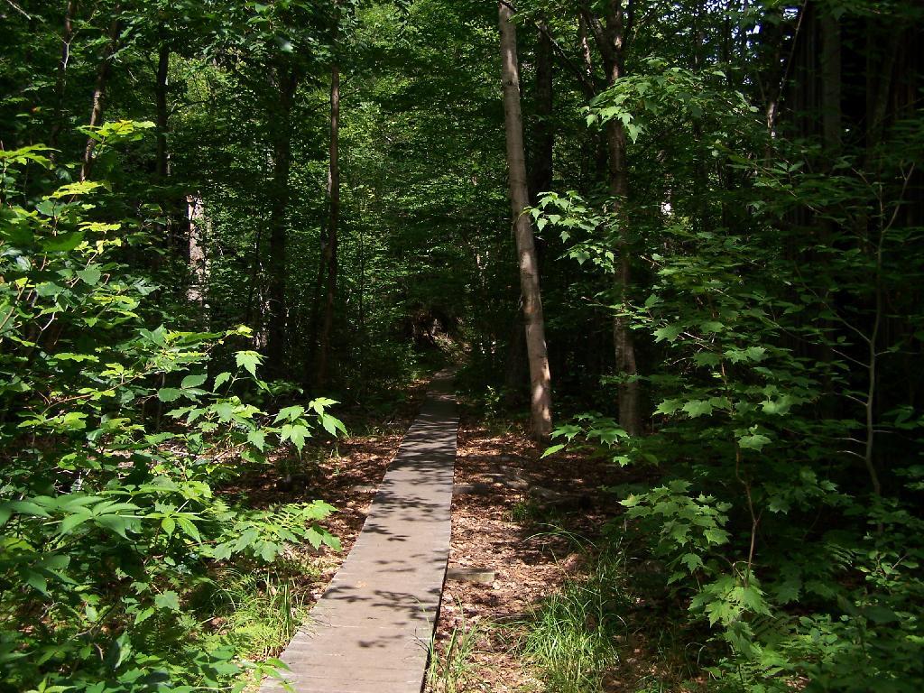
Further up the mountain, the trail follows a series of boardwalks that keeps most of the trail out of the mud and the muck.

Boardwalk

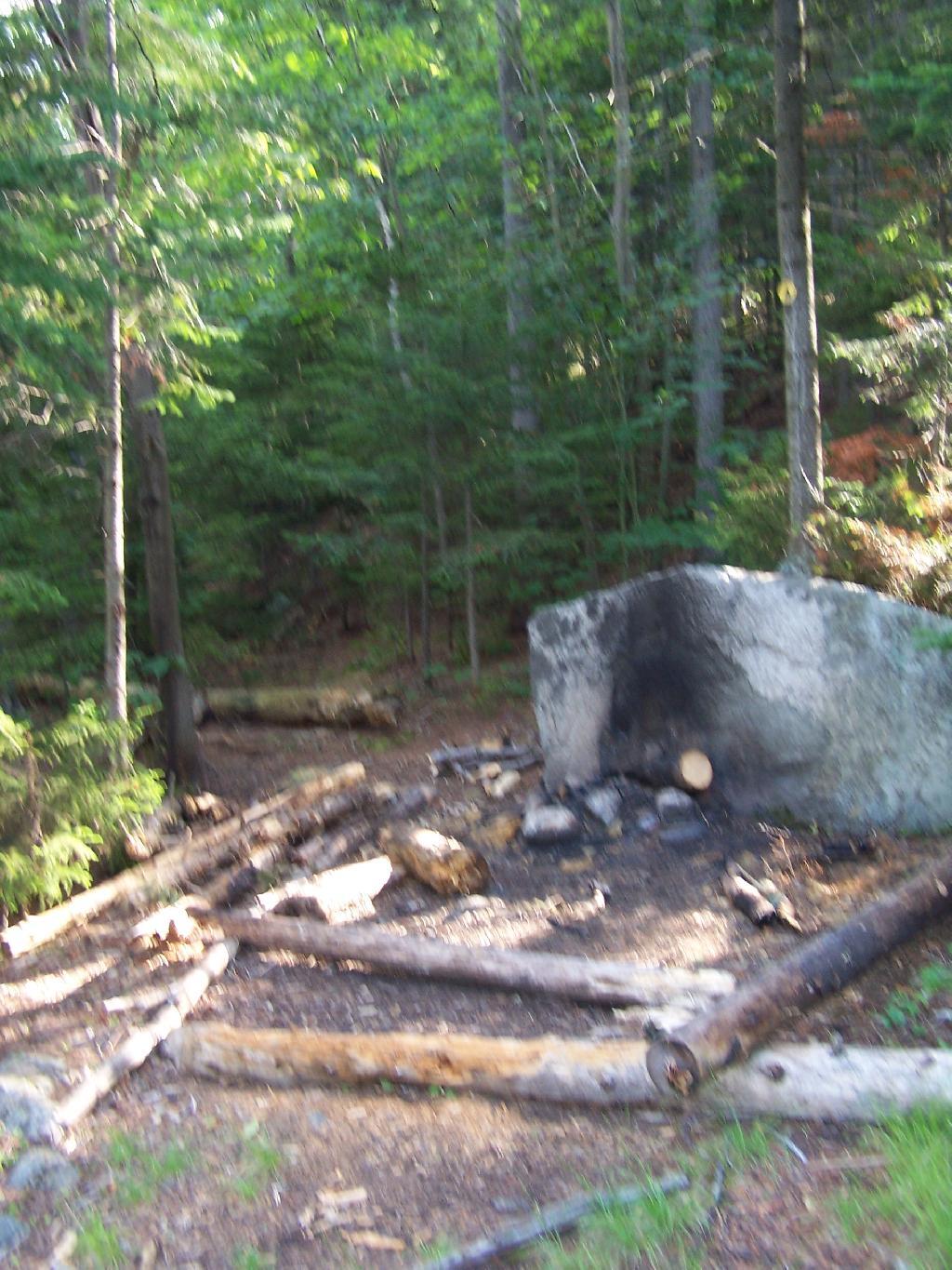
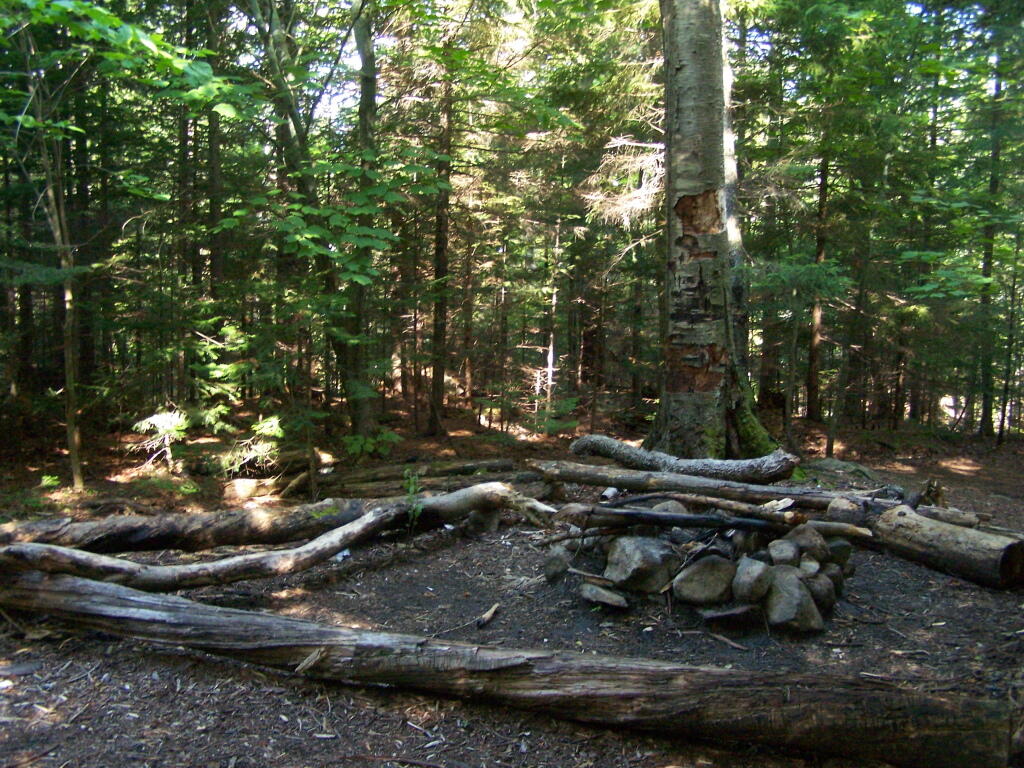
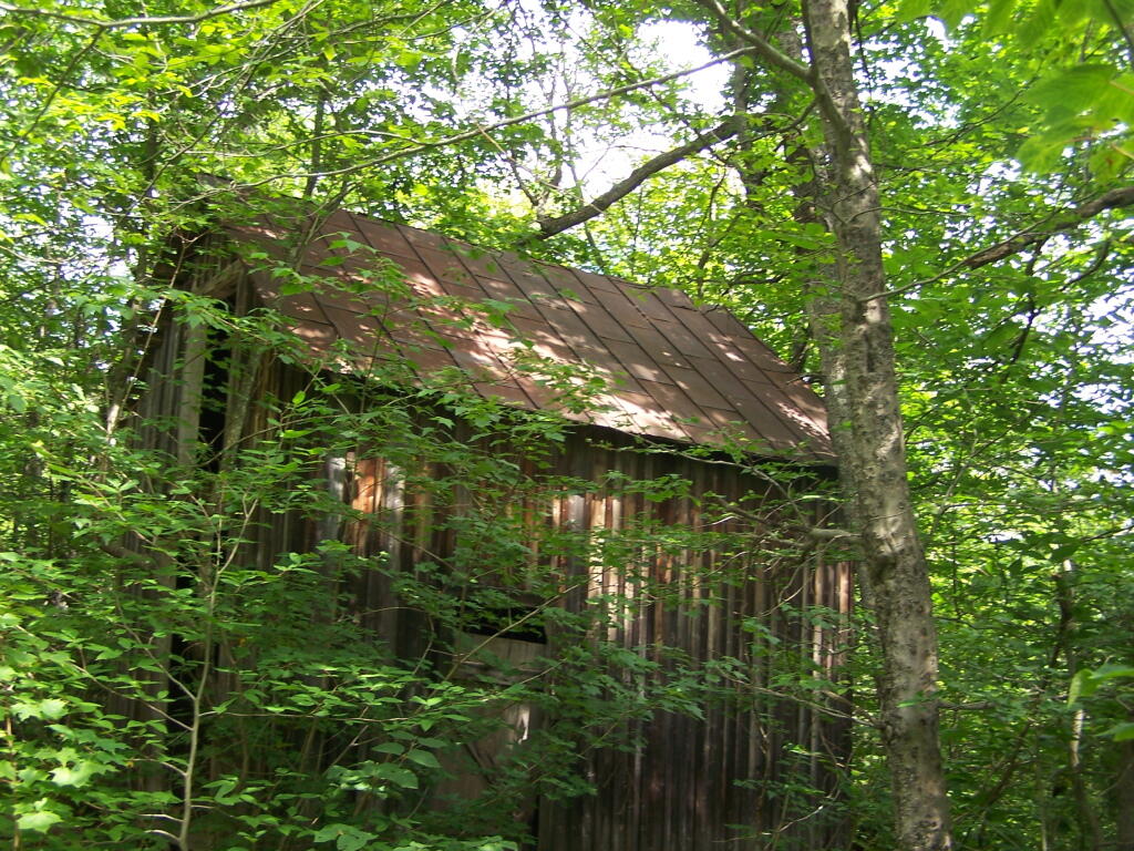
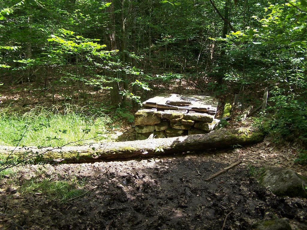
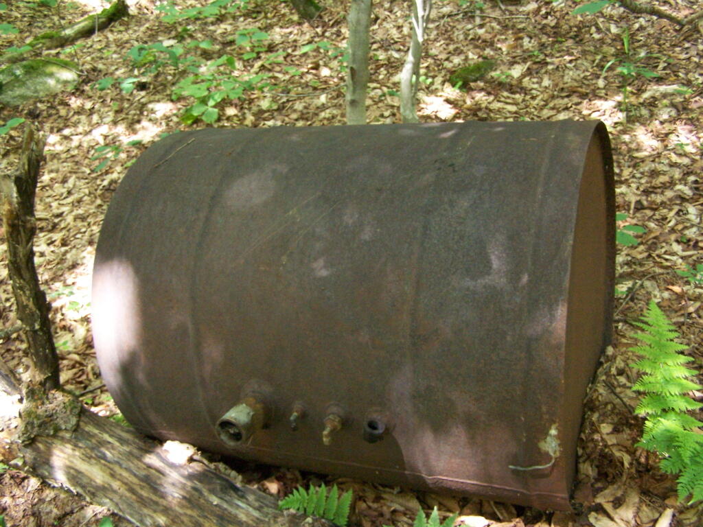
Then you reach an old abandoned barn, a well, and some interesting old debris like what appears to be a tank from a hot water heater storage unit.

Old Barn on Goodnow

Old Well

Old Water Tank

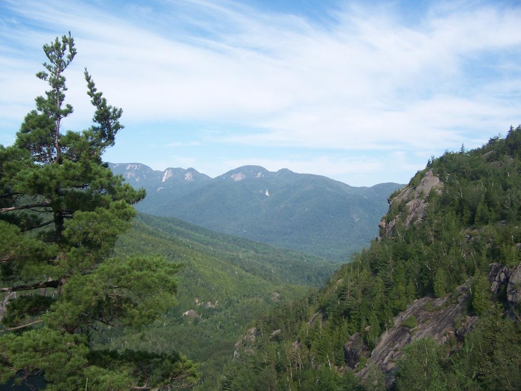
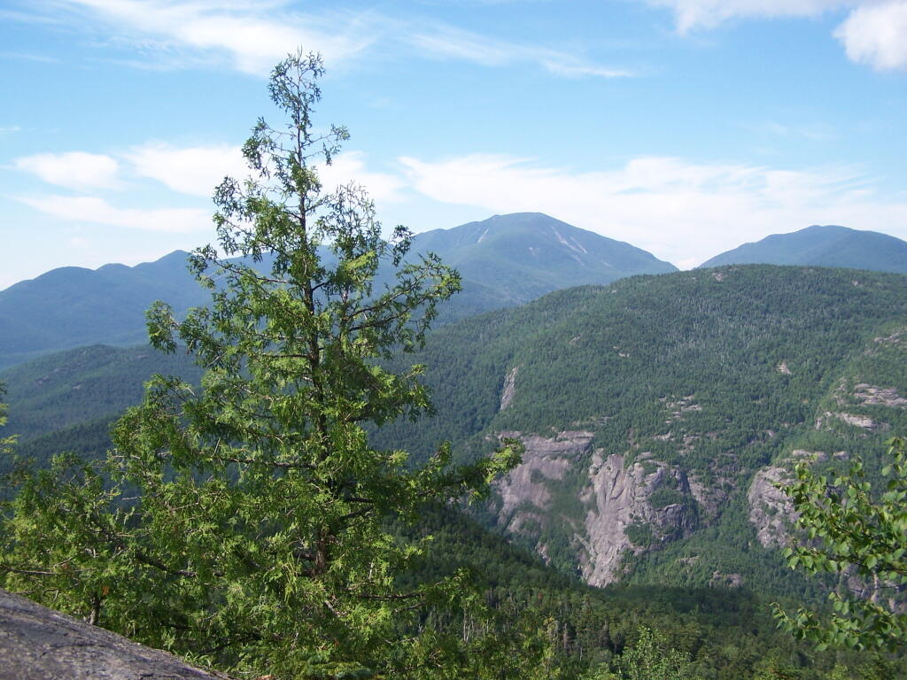
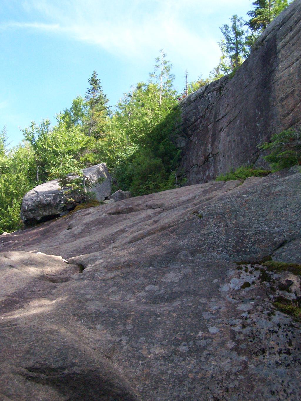
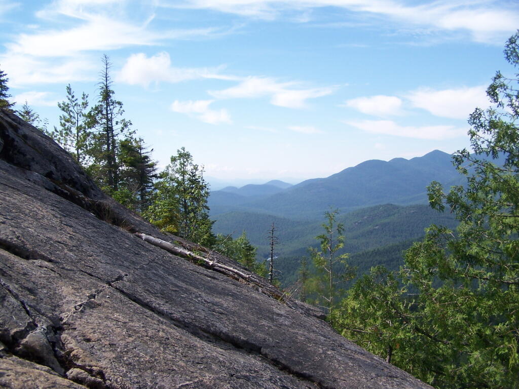
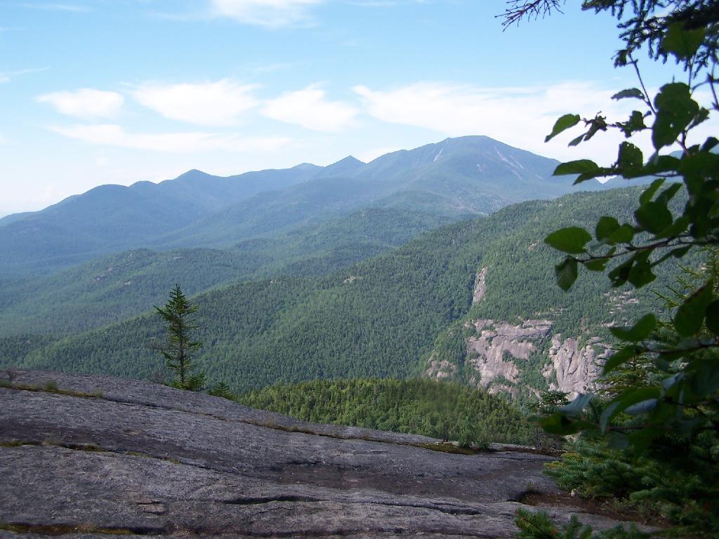
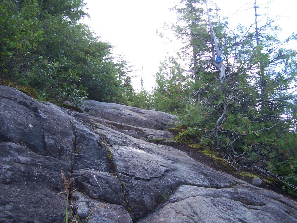
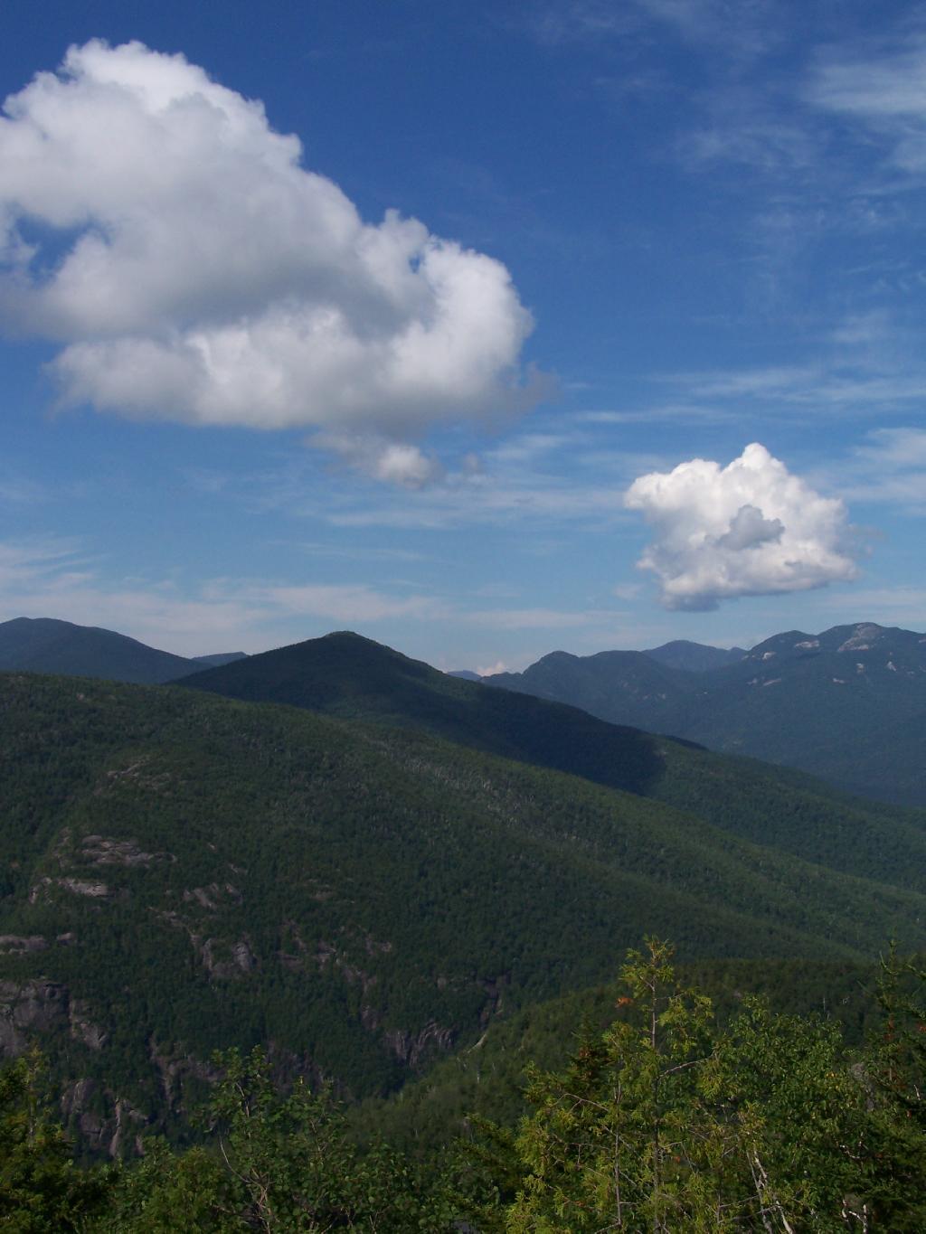
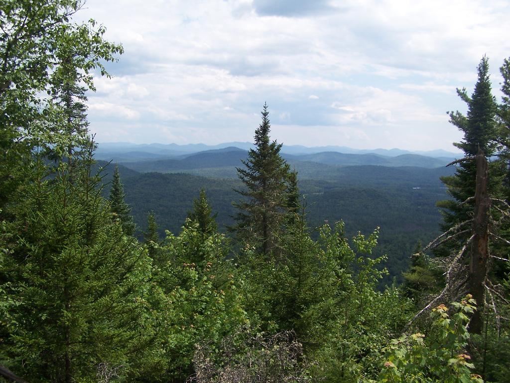
You ascend a ledge, with some limited views to the south.

South East from Ledge

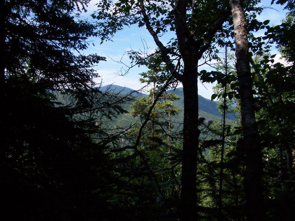
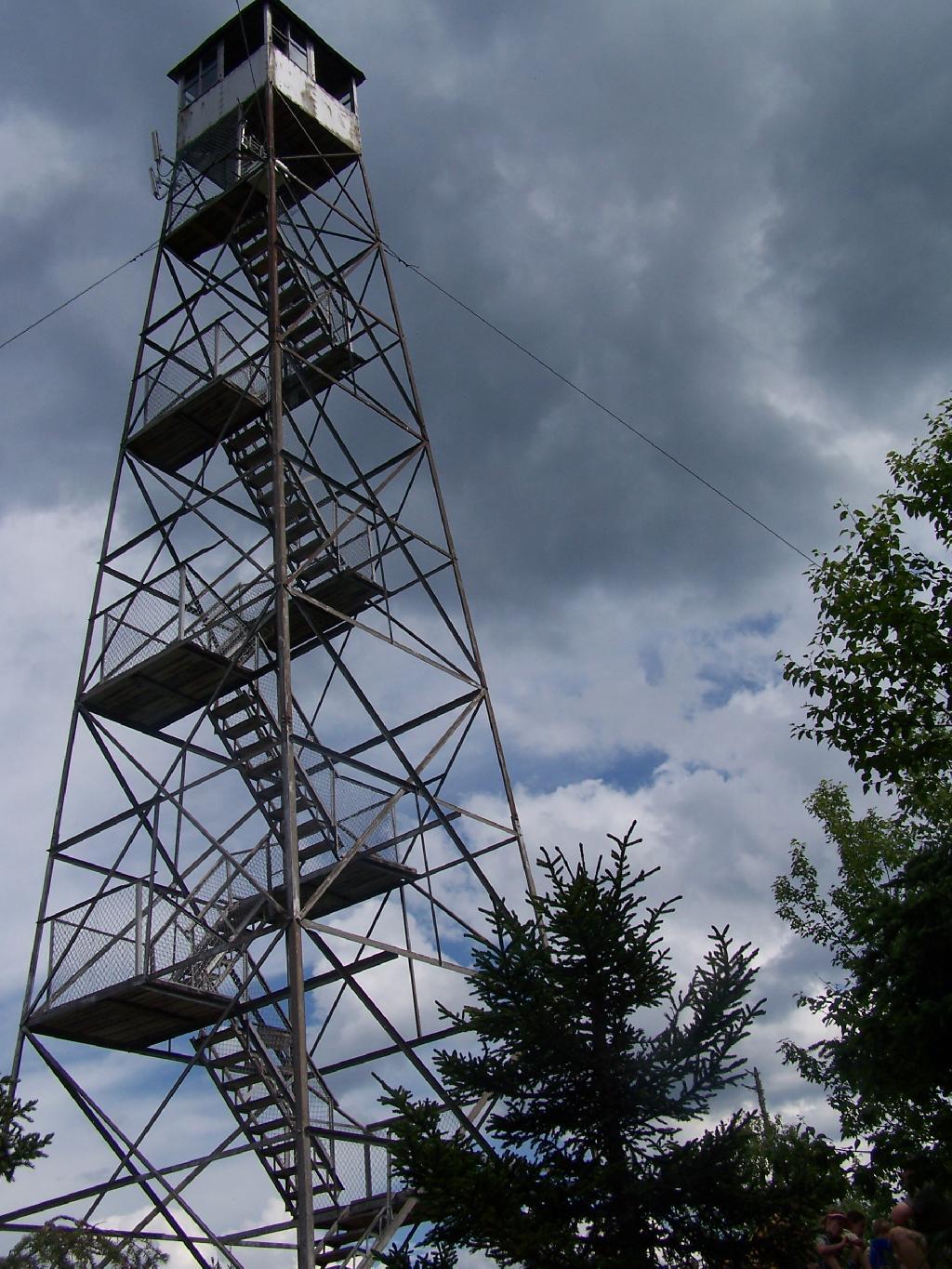
Then their is a thick planation of White Pines along the trail as you make one relatively short ascent to the firetower.

Thick White Pines

Eventually at the last possible moment, you break through the White Pines to see the Goodnow Firetower, and almost instantly want to start climbing it for the views, unless your suffering from heat exhaustion, then you might want to look for the relatively limited shaded but open sections on the mountain.

Goodnow Firetower

Open Window

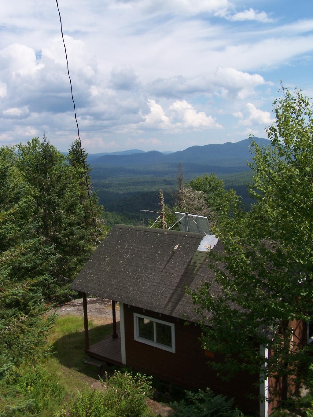
SUNY ESF has restored to the Ranger’s cabin, and the porch is a farely popular place to sit, enjoy the view, beat the heat for a few moments.

SUNY ESF Ranger's Station

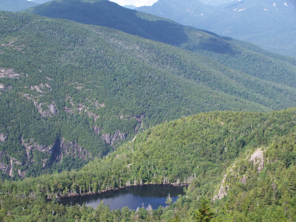
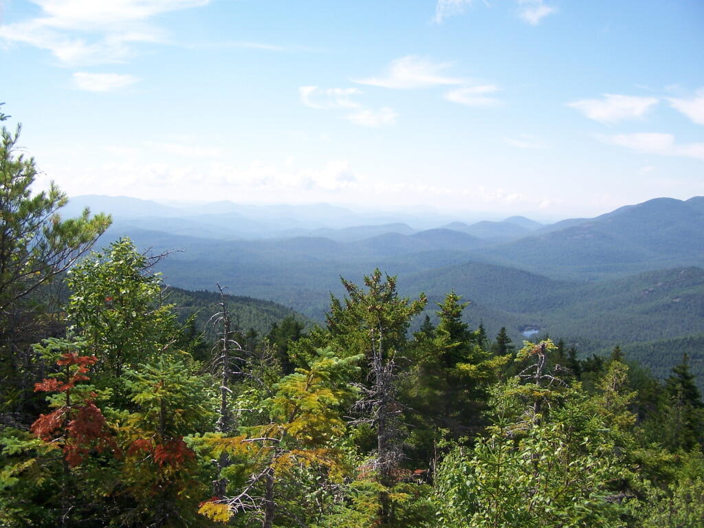
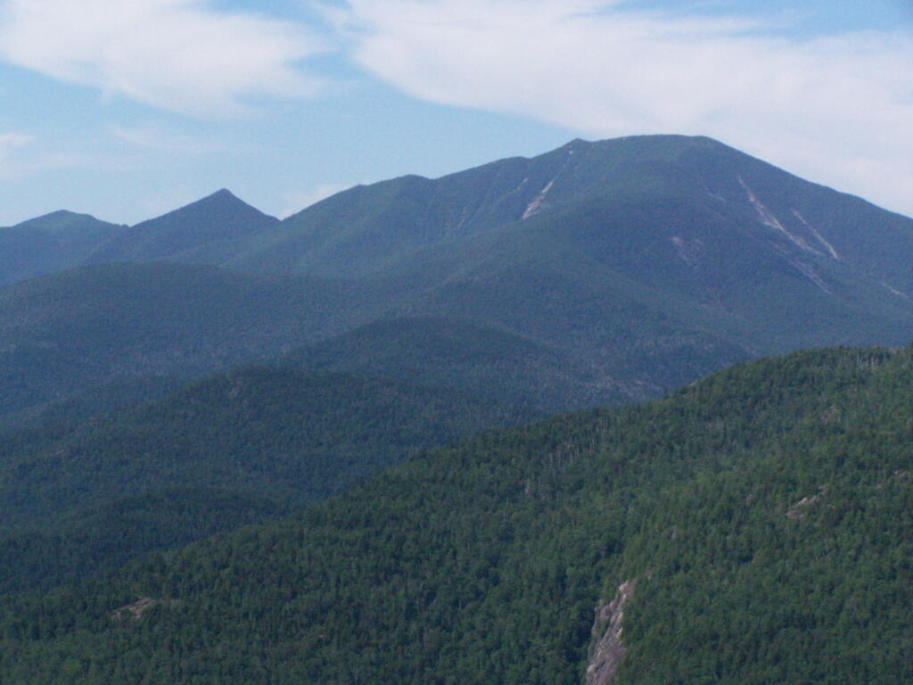
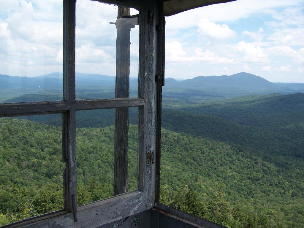
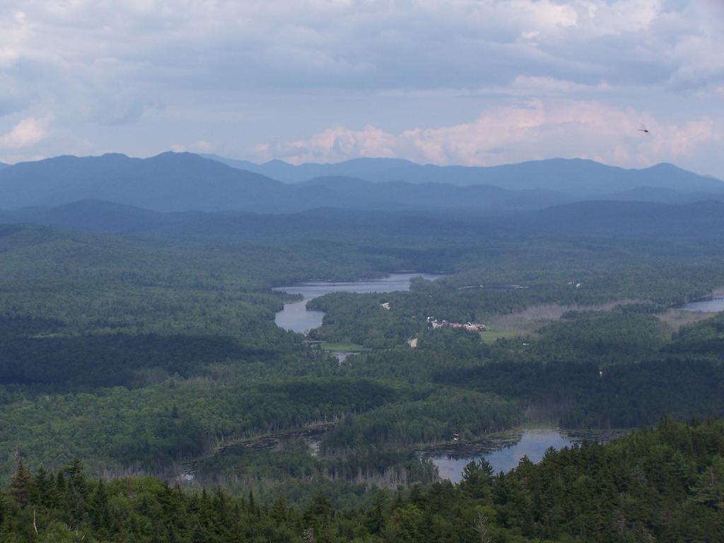
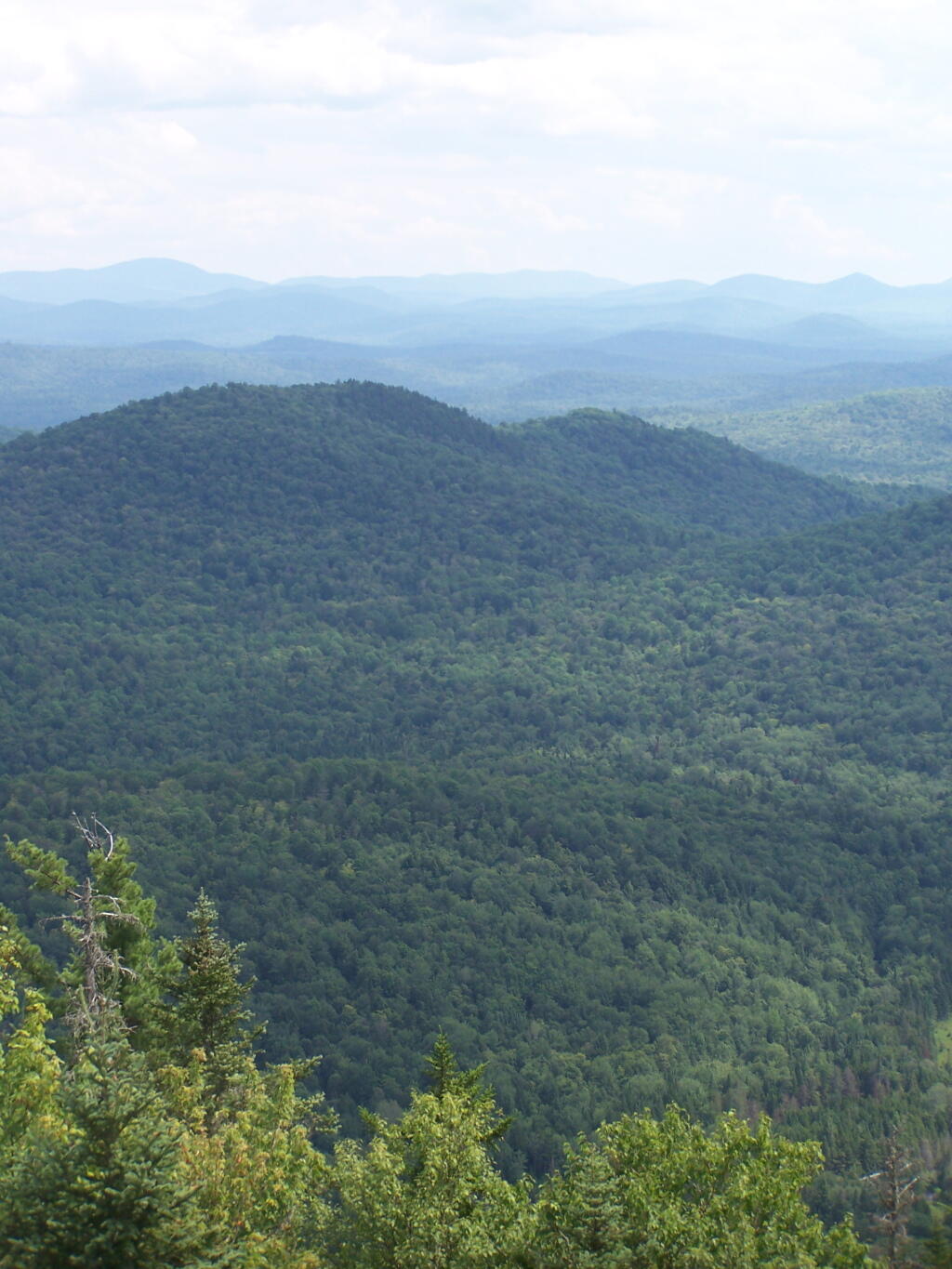
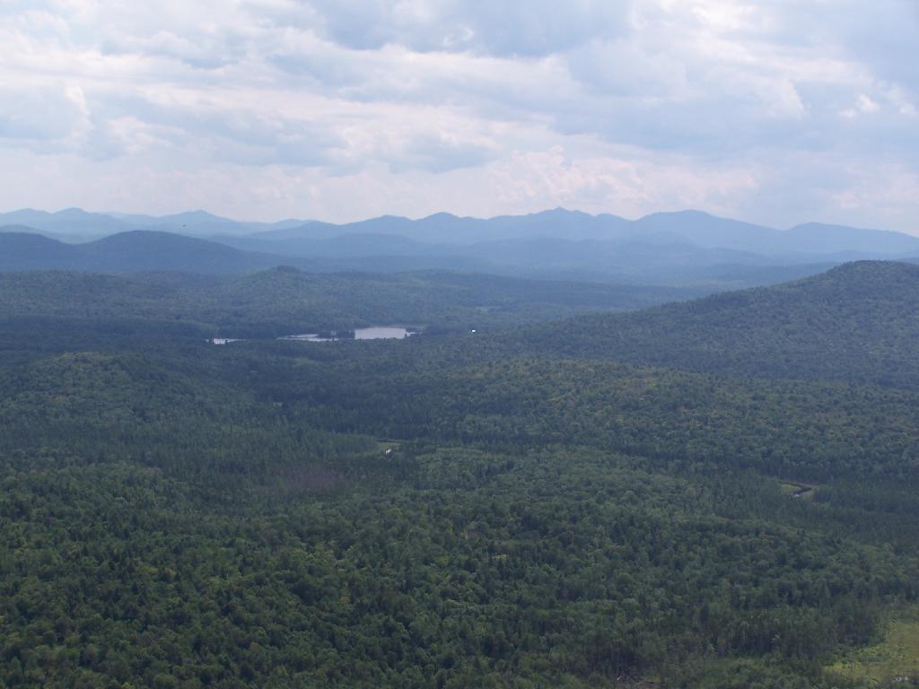
There are many interesting views from the firetower. Here are the High Peaks looking North, the Vanderwhacker Wild Forest to the east, Kempshall Mountain / Long Lake to the west, and Blue Mountain / Blue Ridge to the South.

High Peaks and Newcomb

Vanderwhacker Wild Forest

South from Tower

Here is a map of the hike.

Giant Mountain

About three weeks ago I decided I wanted to go hiking in the Adirondack High Peaks. It was my first time hiking there, and it probably will be the last time I go up there for a while, mainly because of the absurdly bad fear of heights. A 120 mile drive from Albany, it took me about 2 1/2 hours to reach the trail head on NY 73.

Waiting for the bus to Thacher Park

The first part of the trail is steep (as is most of the trail), but with limited views.

Along Trail

After 3/4 mile of a hike, it opens up to a ledge with views of the Keene Valley.

Keene Valley

Shortly there after you reach the Giant Washbowl, a mountain pond with interesting views, surrounded by mountains.

7/10 Mi to NY 73

You also get a neat view of Nubble.

Untitled

There are two primative campsites along Giants’ Washbowl with no facilities except some logs to sit on.

Campsite

Second Campsite at Washbowl

You cross Giants’ Washbowl on a log.

Foot Bridge

With the confirous trees surrounding Giants’ Washbowl you would have no idea what season it was from this picture.

Colors

Past Giants’ Washbowl, the trail gets steeper and goes through a series of switch backs as you continue to climb.

View Through Trees

At about 2 miles the trail opens up to a series of open rock scrambles, where you walk along a ledge of sloped rocks. It did nothing for me.

Rock Scrabble

Literally, the trail runs right along this sloped ledge. These open ledges just made me sick. I started to puke, with my fear of heights kicking in as as scrambled along this.

Open Rock Face

That and seeing the maggots swarming over this piece of dung right on the trail did nothing for me.

Got Maggots

That said, the views from this ledge where spectular.

Looking Across the Valley

I continued to climb another 300 feet or so on the trail, when I decided to go back, but I did get a chance to get some pretty awesome pictures from up above.

Further

On a rock ledge, looking down at Giants’ Washbowl.

Giants Washbowl from Above

And Noomatic Mountain.

Noomantic Mountain

Looking South-West towards Pharoah Mountain Wilderness.

South-West

Dix Mountain and surrounding range.

Dix Mountain

At any rate, this kind of hiking did nothing for me. I decided to descend Giant Mountain, and not spend much more time in the High Peaks Range for the foreseeable future. As much as I enjoy spending time outdoors, the High Peaks with their significant ascent and the open faces just is no fun. Just writing about this mountain and looking at the pictures makes me want to barf again!

Untitled

Map of the hike:


View Giant Mountain in a larger map