fire tower

Blue Mountain Fire Tower

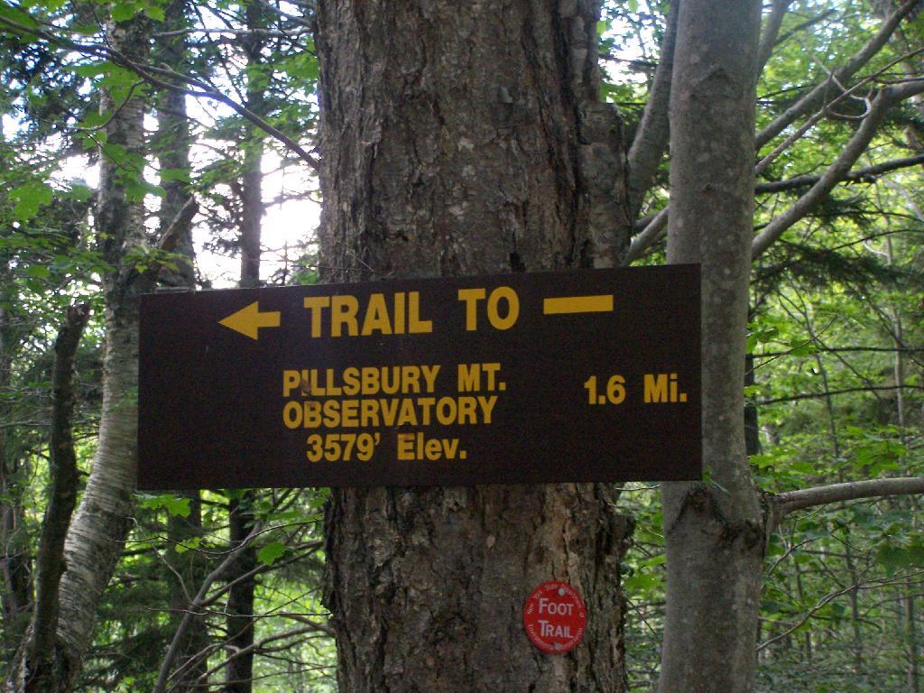
There is a fire tower on the mountain overlooking Blue Mountain Lake. It has some interesting views, and can be checked out by driving just north of Blue Mountain Lake on NY 30. It is one of the most popular hikes in the Adirondacks, and many people also visit Moose River Plains or the Adirondack Museum after hiking the tower.

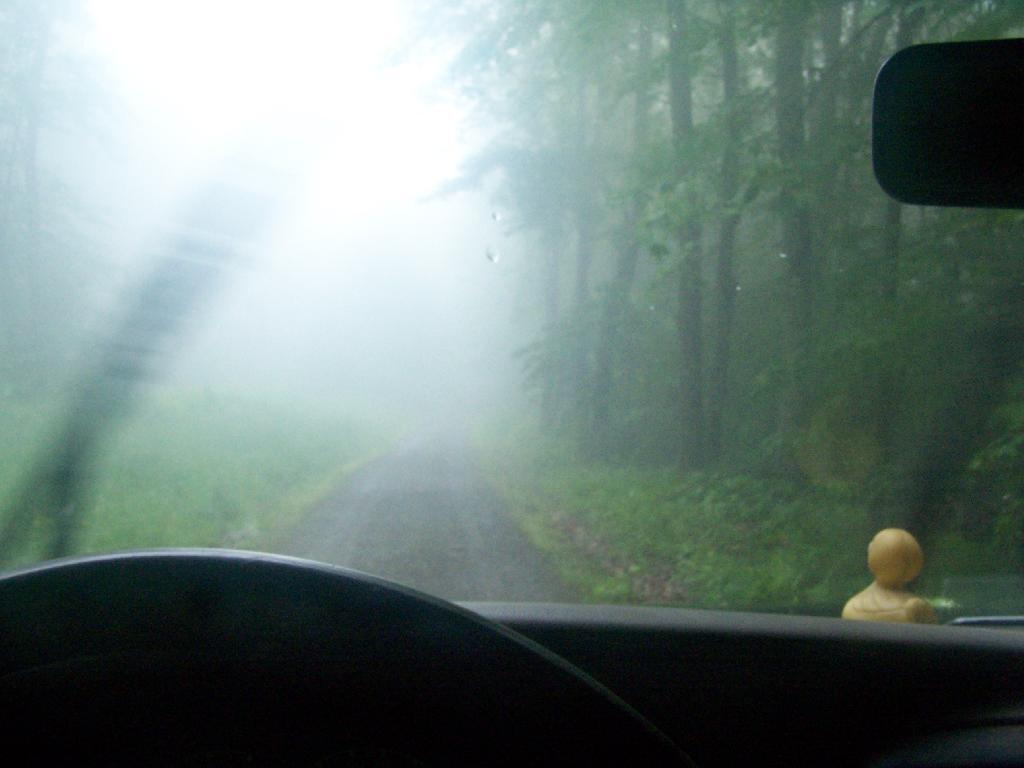
Here is Blue Mountain heading North on NY 28.

Blue Mountain

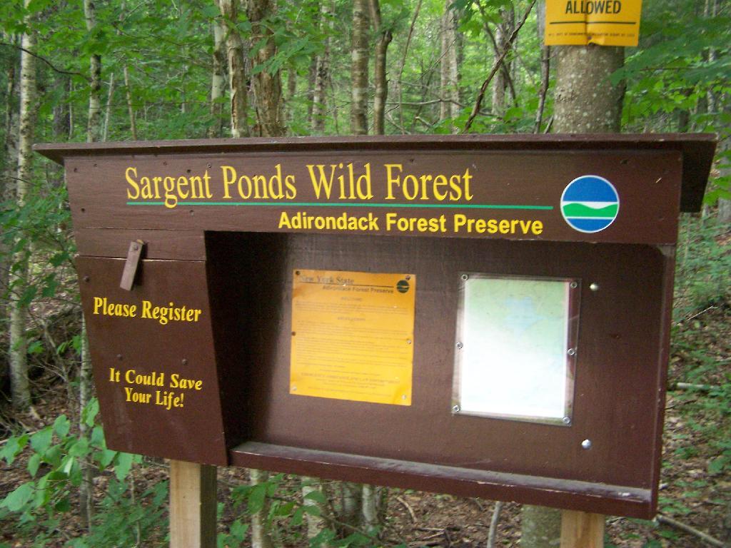
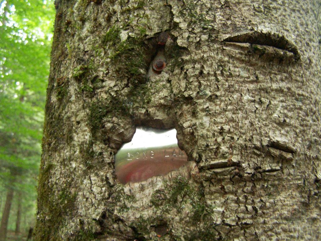
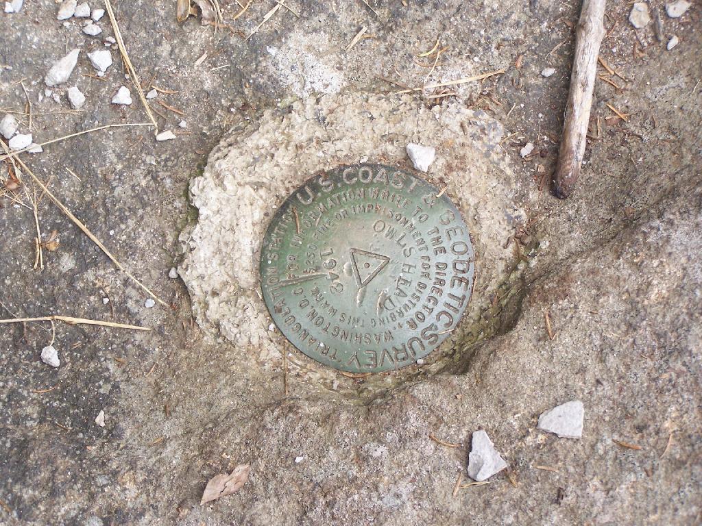
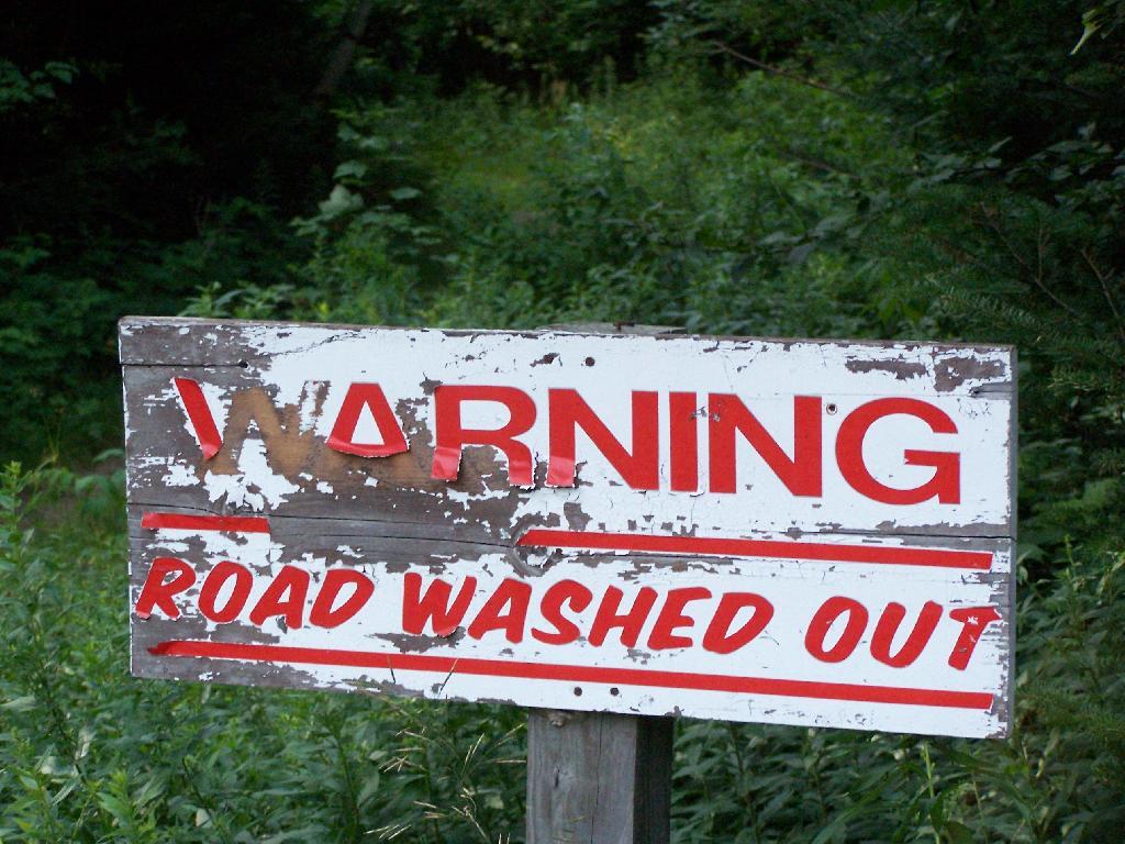
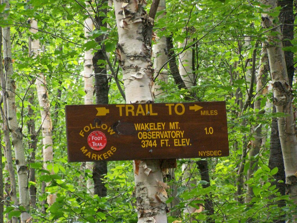
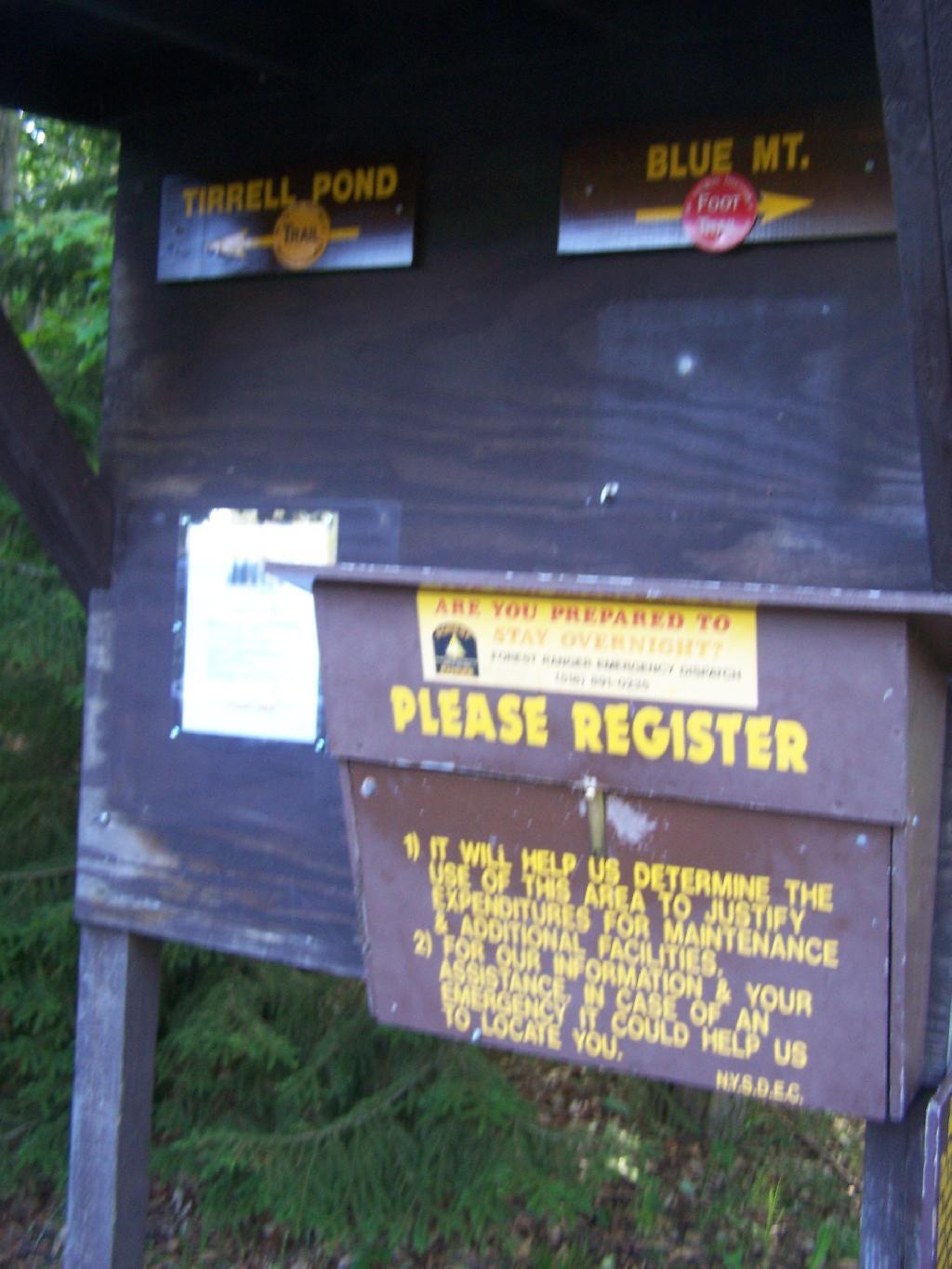
The registration box at the bottom of the mountain.

Registration Box

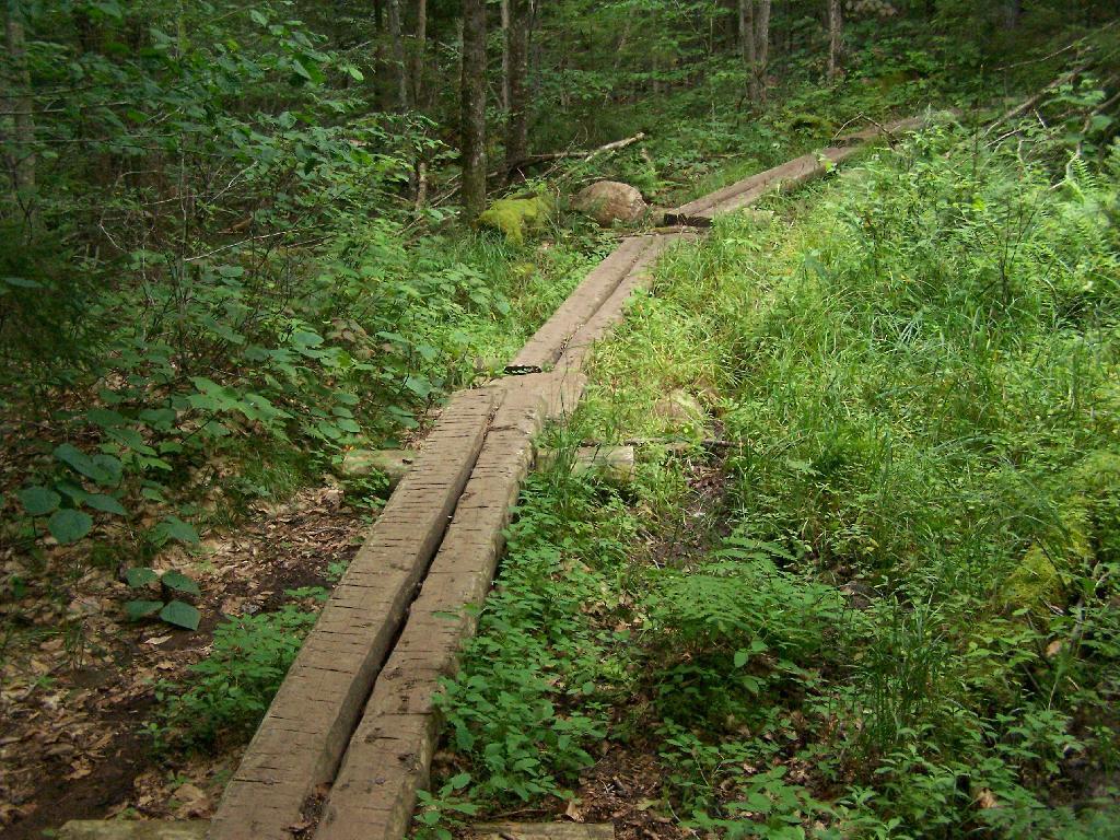
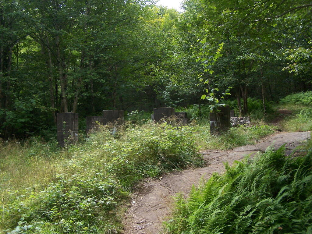
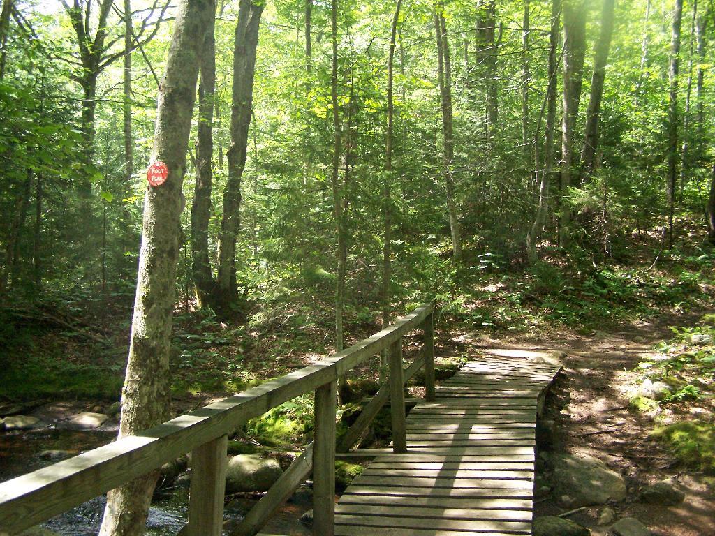
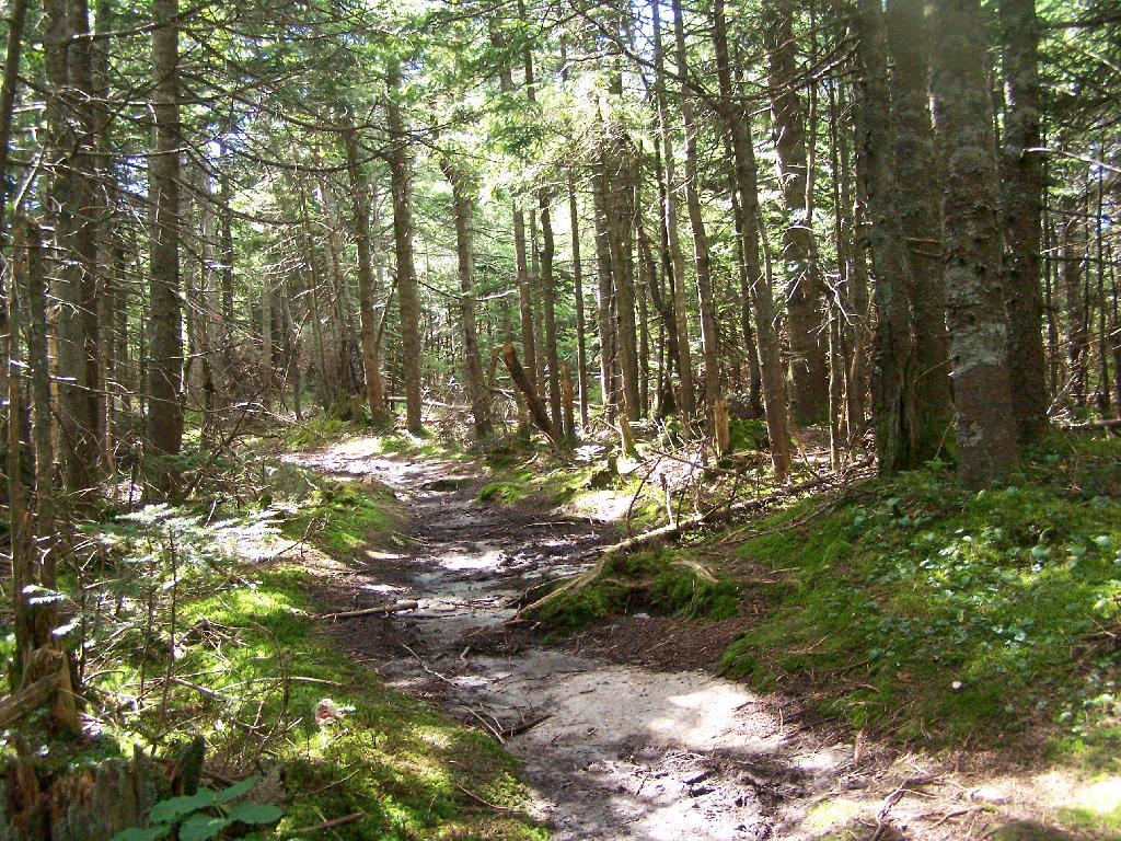
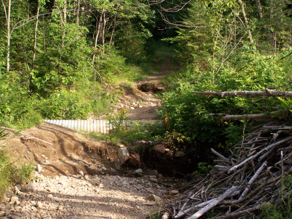
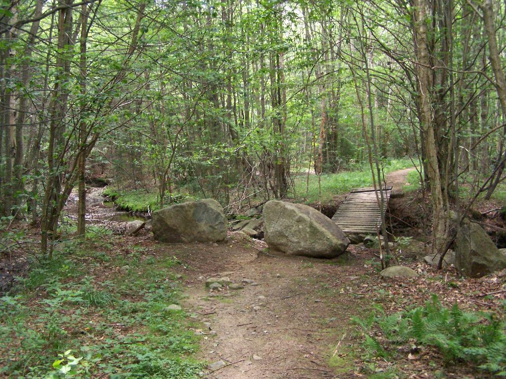
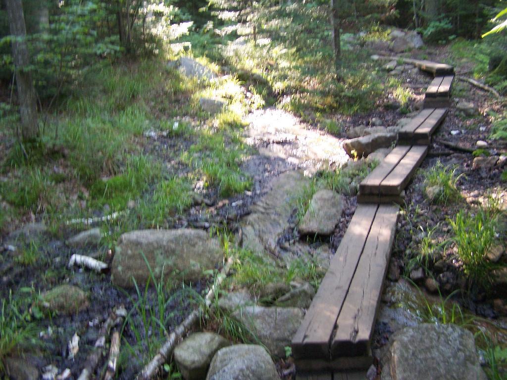
The trail is well maintained, despite it’s extensive use, with board walks across muddy locations.

Board Walk Across Marshy Area

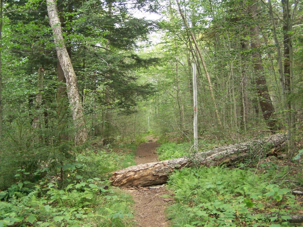
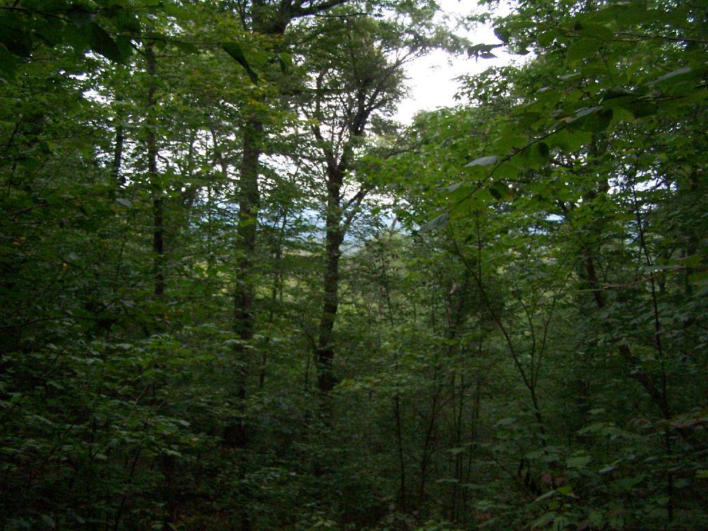
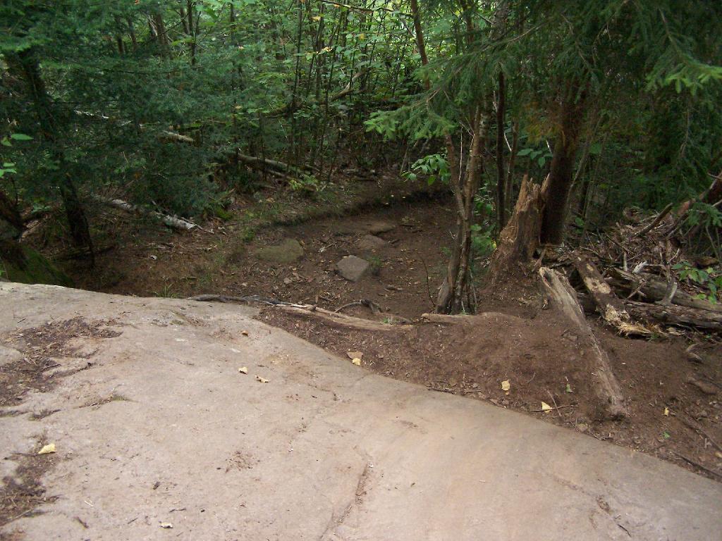
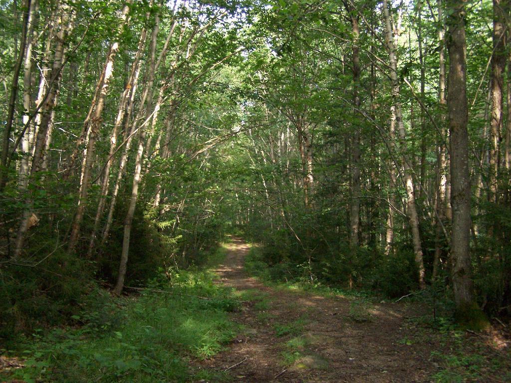
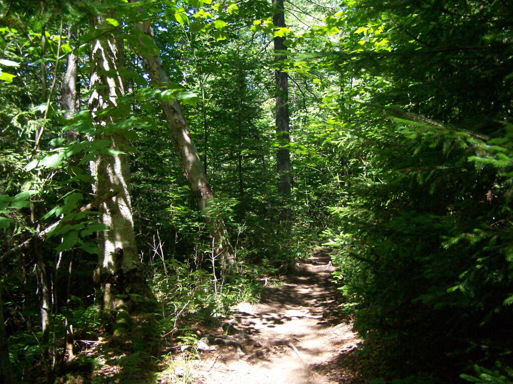
The first part of the trail is relatively flat for a while, then gets steep for a bit.

Trail

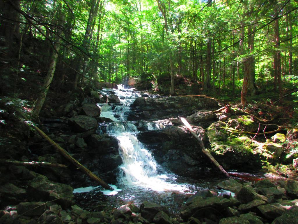
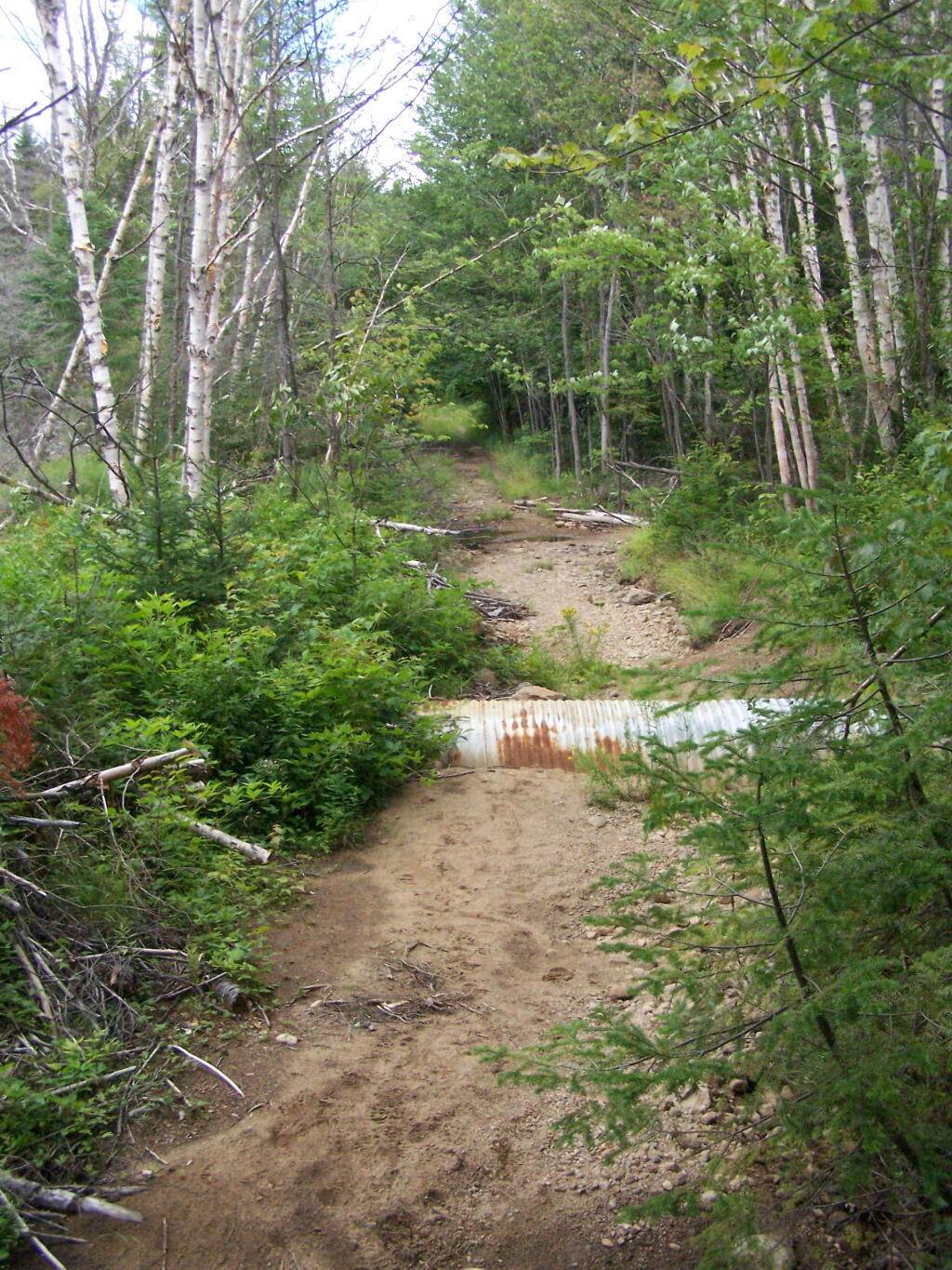
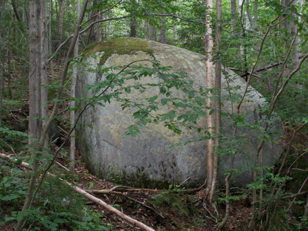
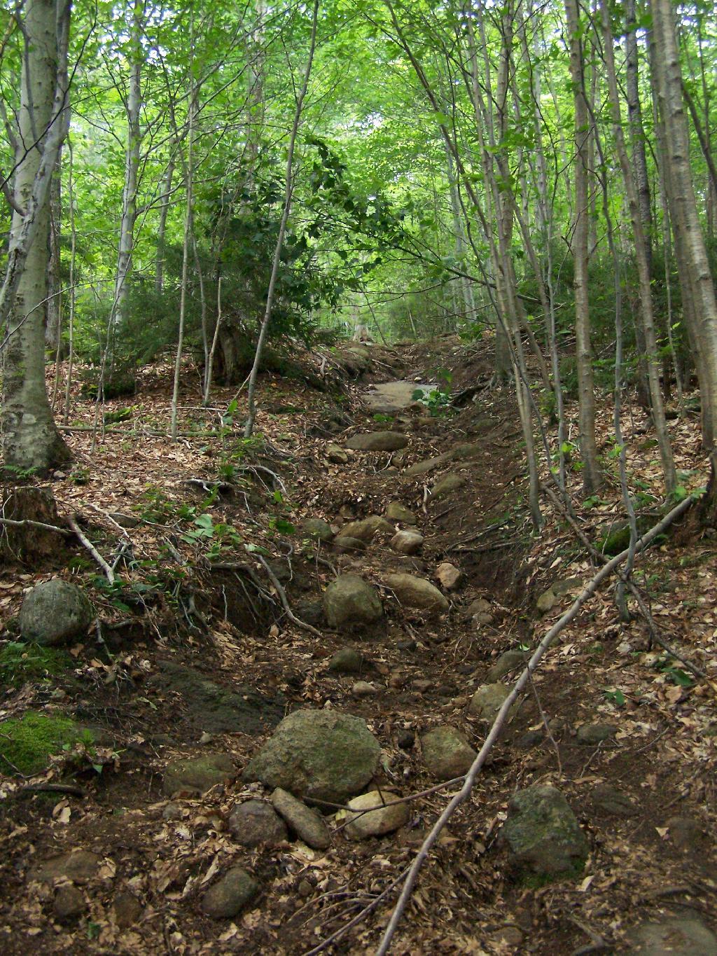
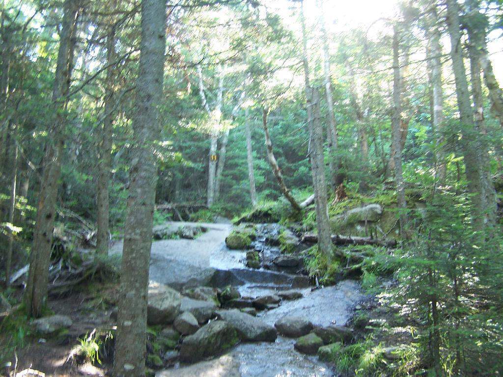
A lot of the lower part of the mountain was rocky with lots little rocks to step over.

Rocky Ascent Up the Mountain

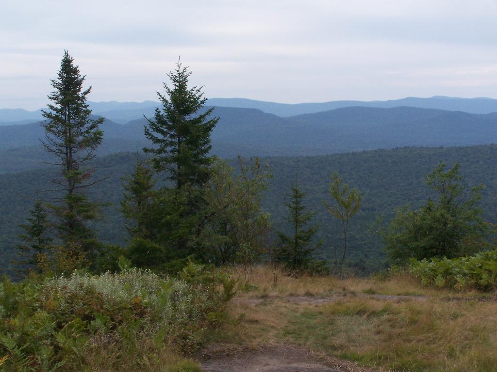
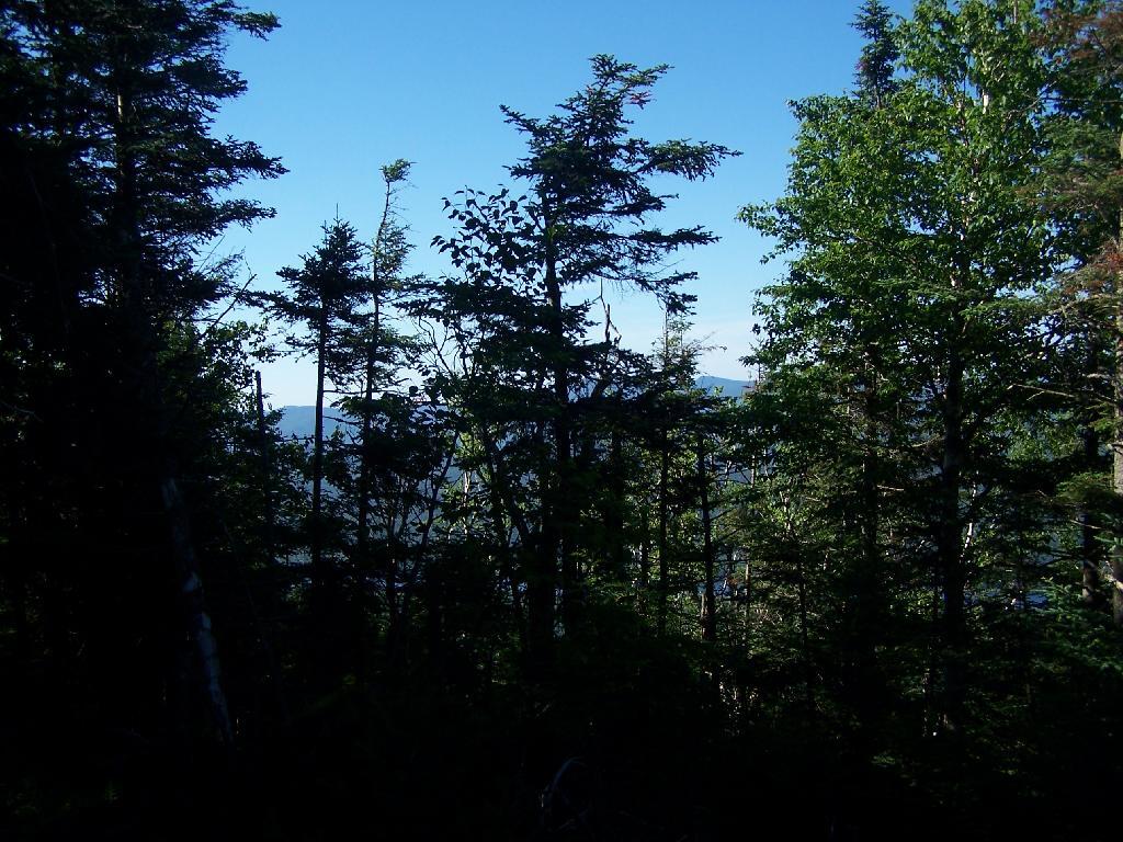
About halfway up the mountain you get partial views down the mountain.

Mountains Thru The Trees

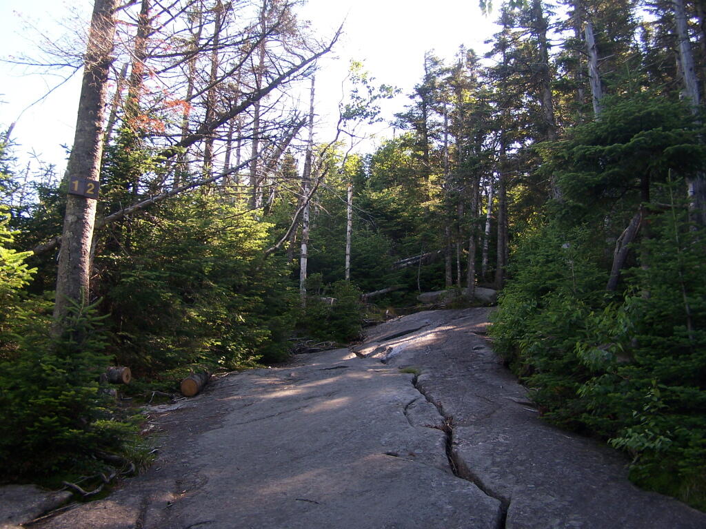
Eventually the mountain opens up a little, and your walking on exposed granite, steep, but not too steep.

Granite Rock Face

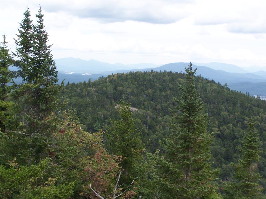
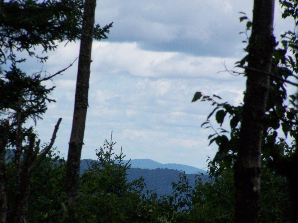
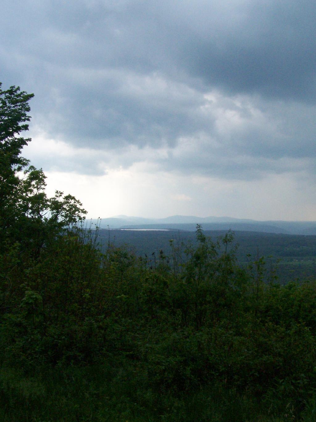
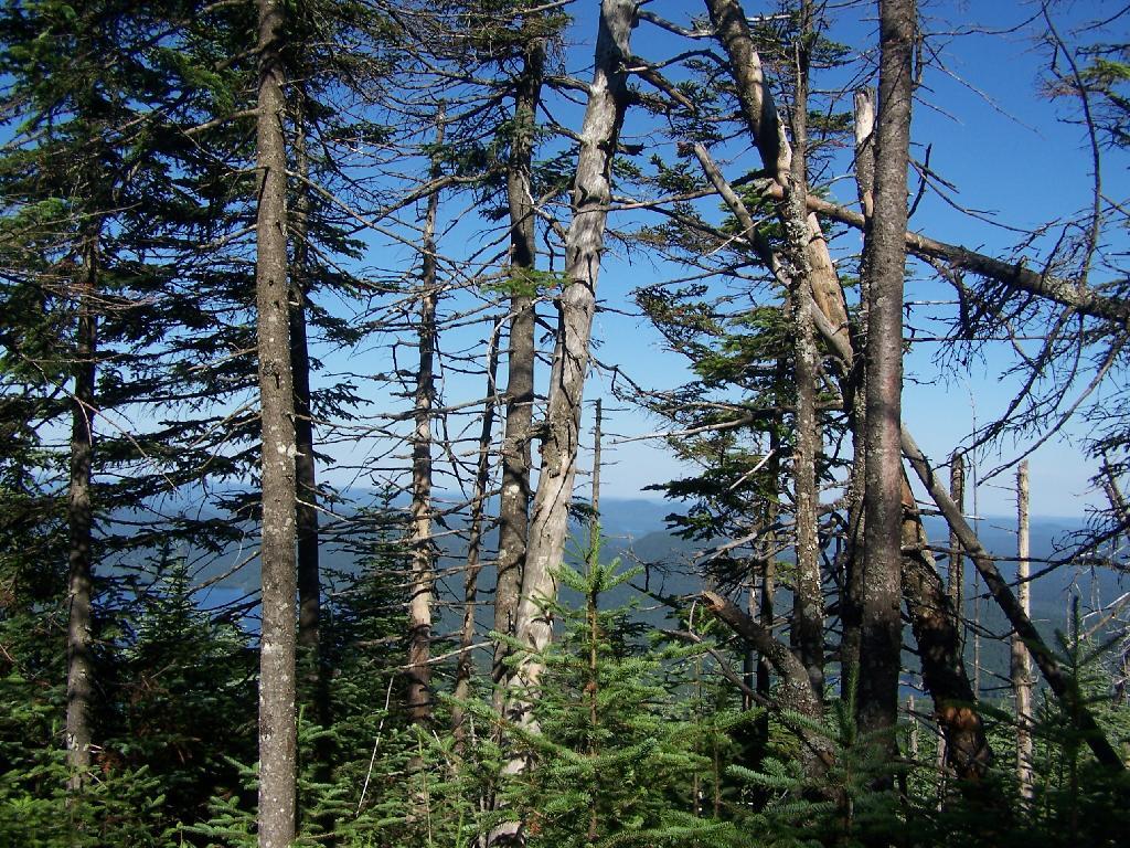
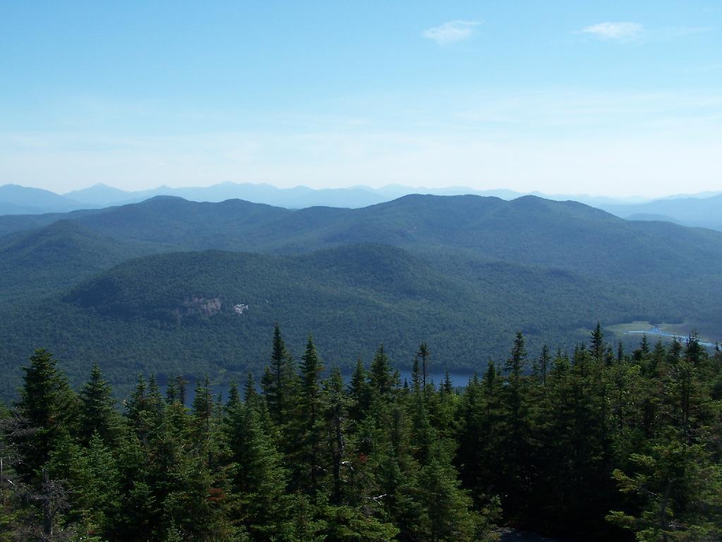
Once your almost to the top, you can look back and see Blue Mountain Lake through the trees.

Blue Monutain Lake Through the Trees

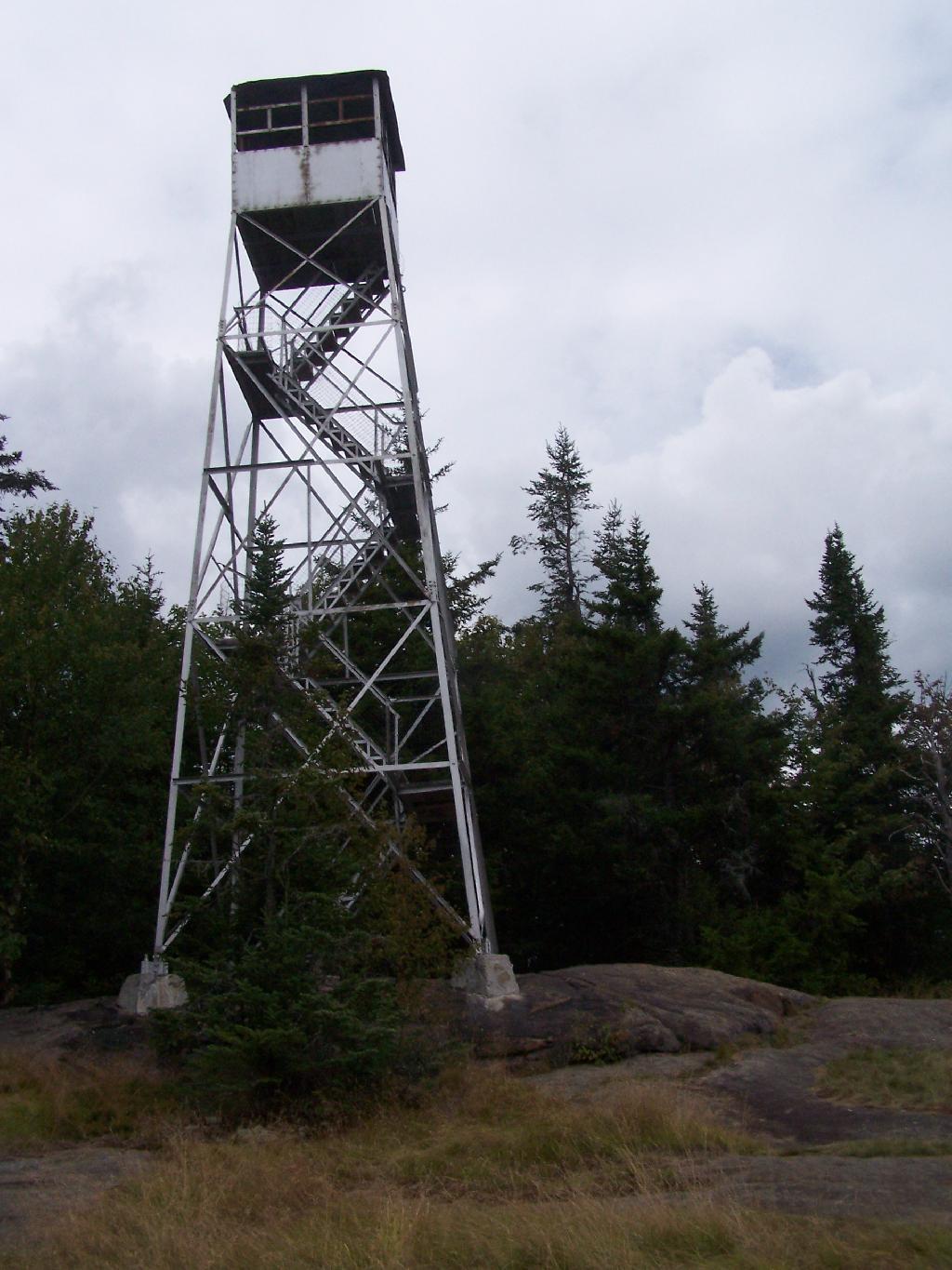
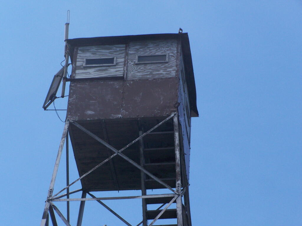
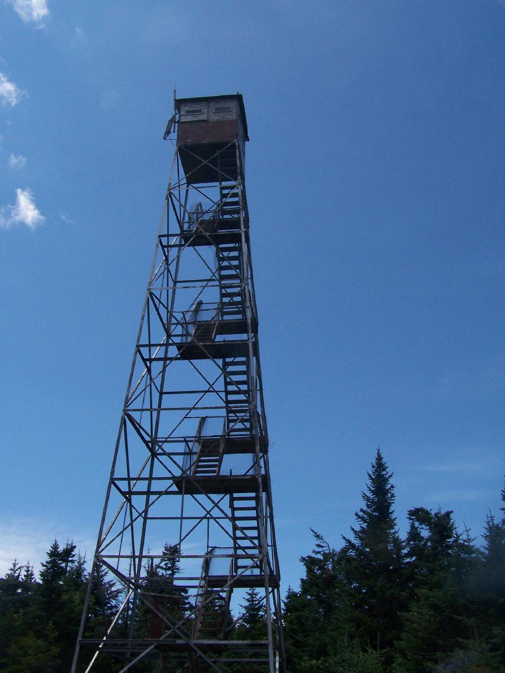
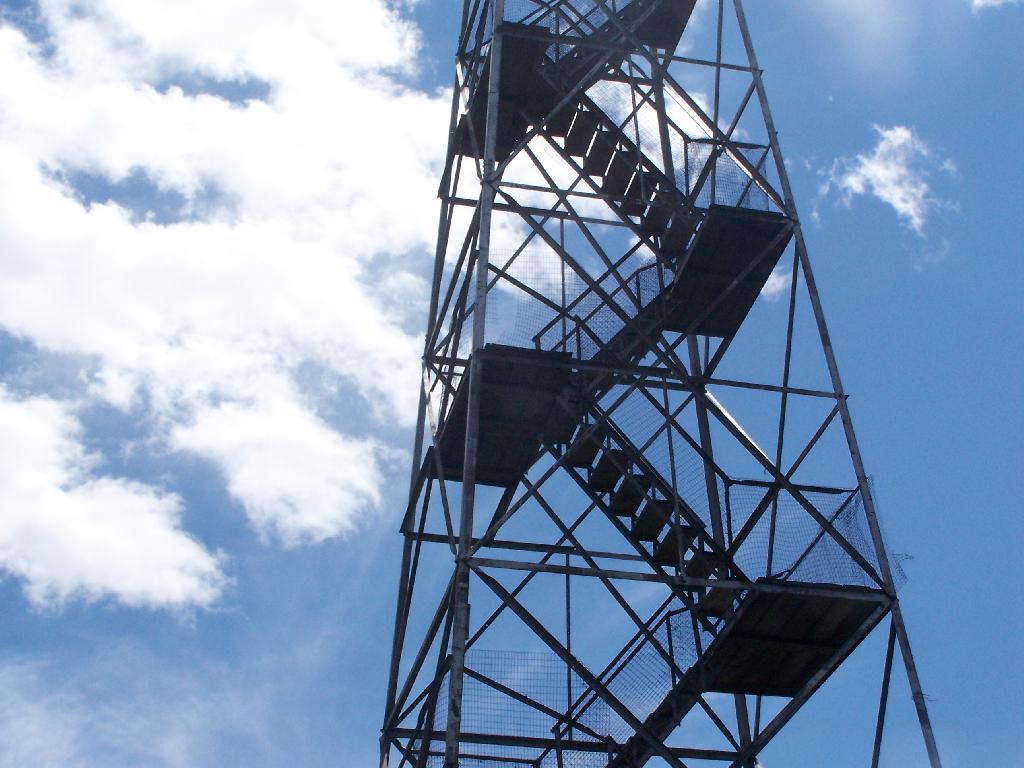
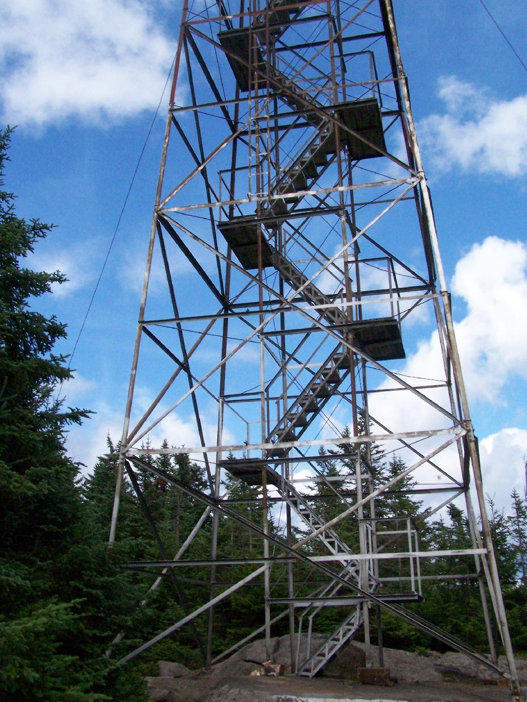
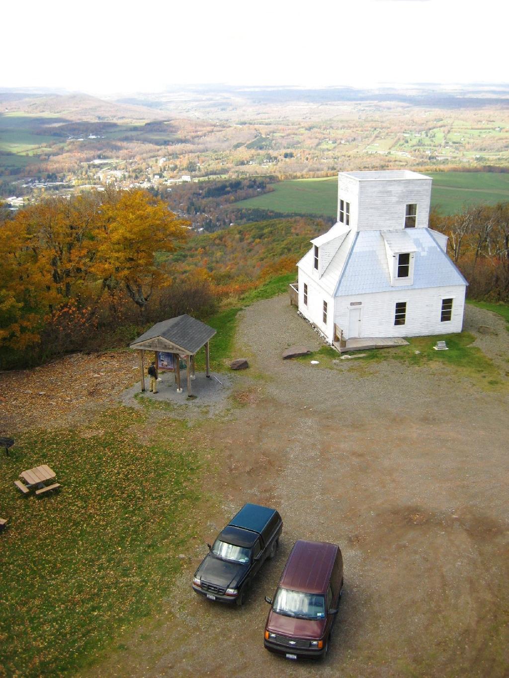
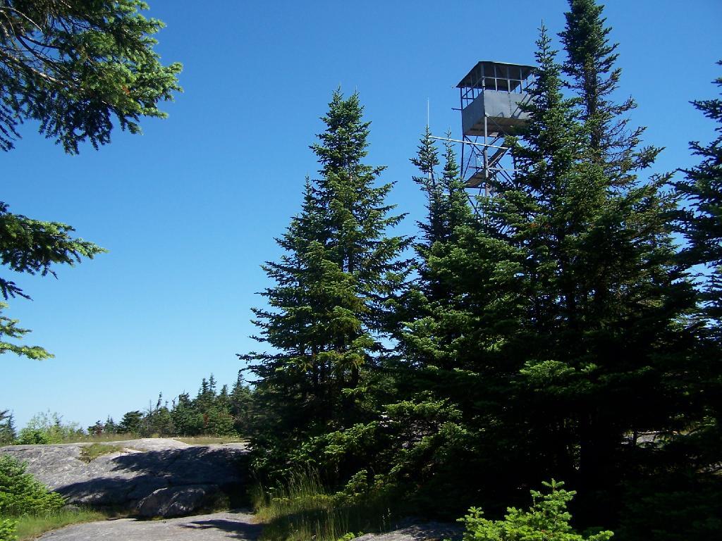
You reach the top of the mountain, and there is a gradual ascent, as you cross to the eastern side of the mountain, where the summit and the tower is located. Finally, you see the tower through the trees.

First View of Tower

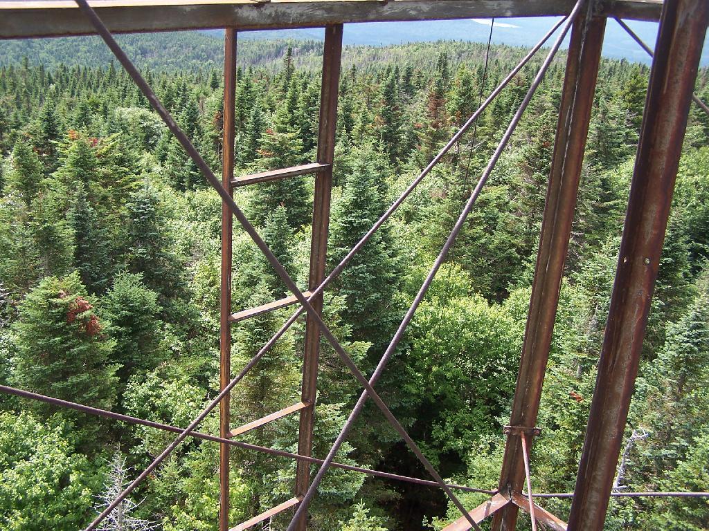
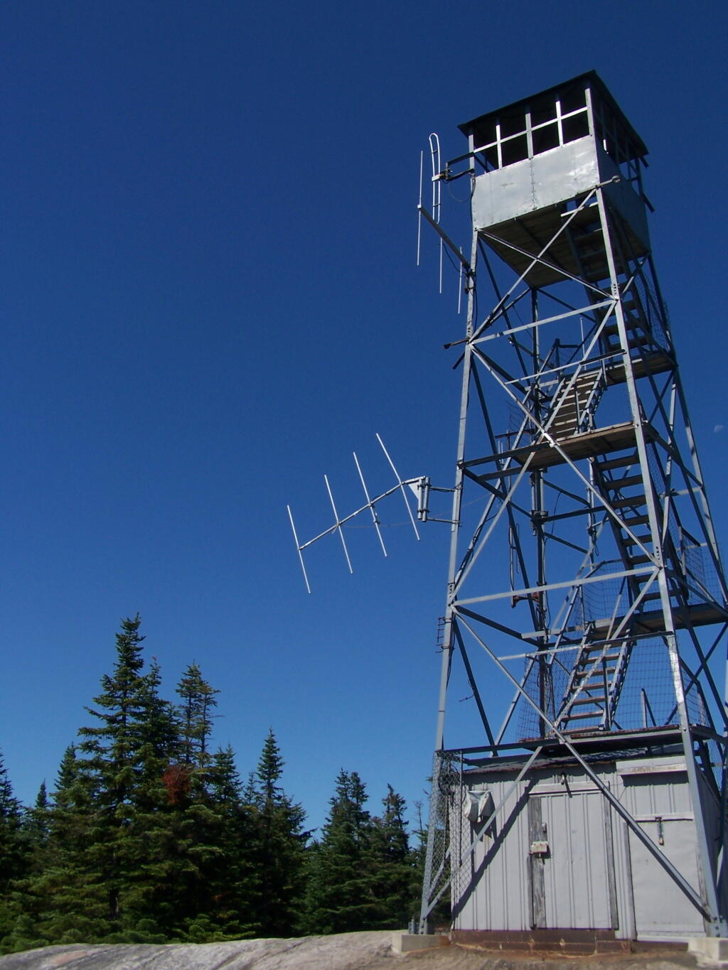
The tower is a relatively short 50 or 60 foot, but it’s plenty high to get good views of the surrounding landscape.

Fire Tower

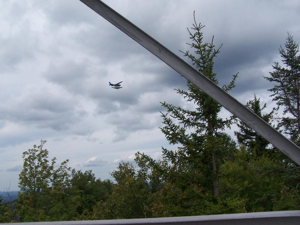
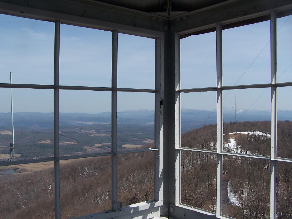
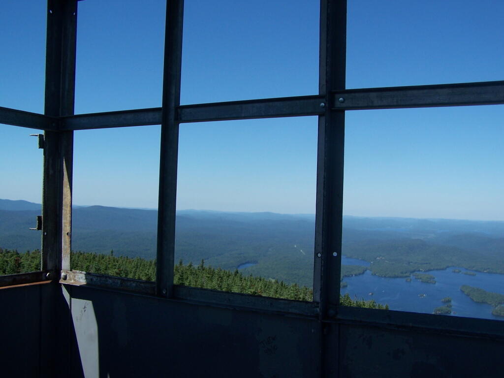
Looking out to the Tower windows.

Windows

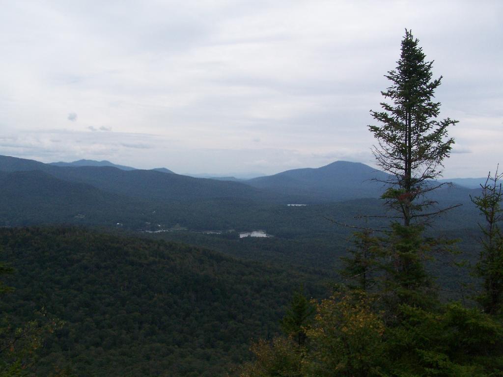
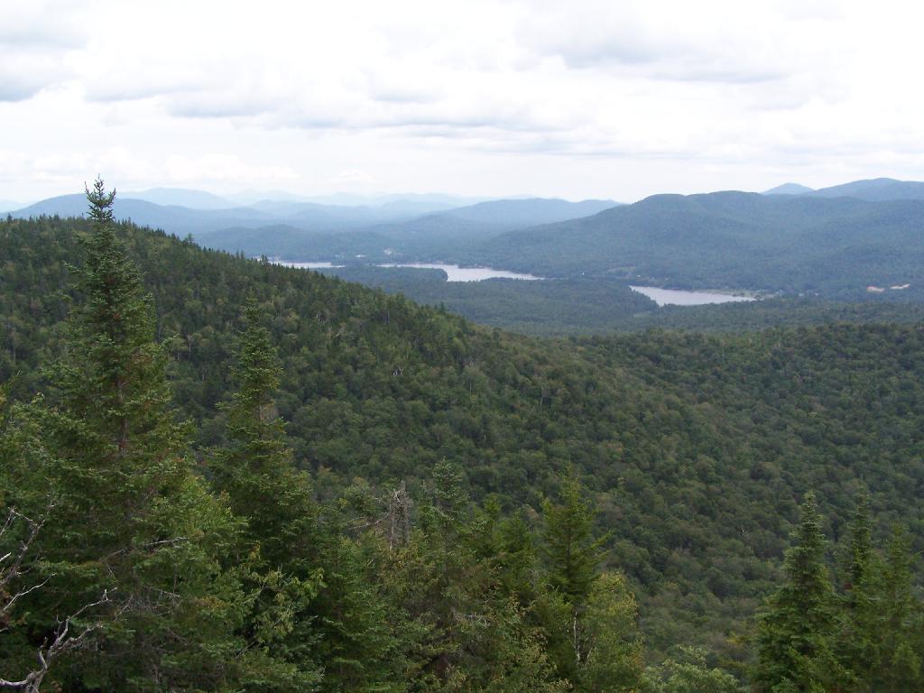
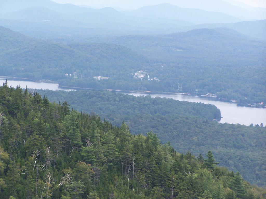
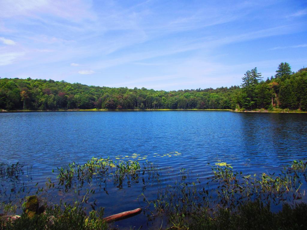
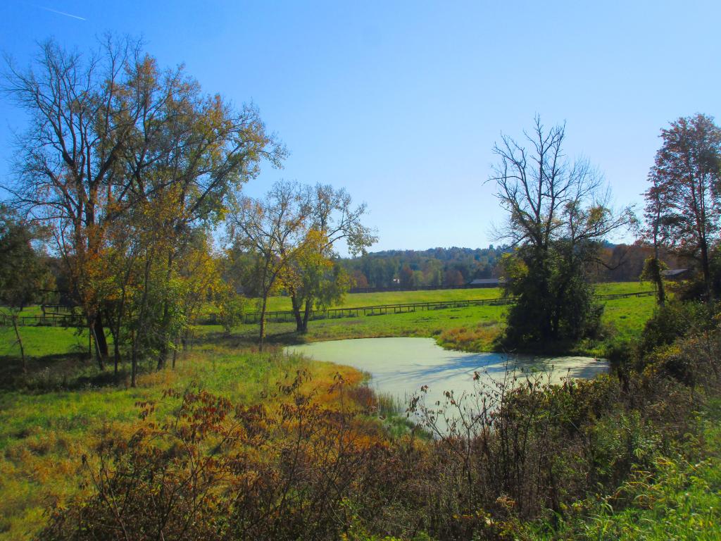
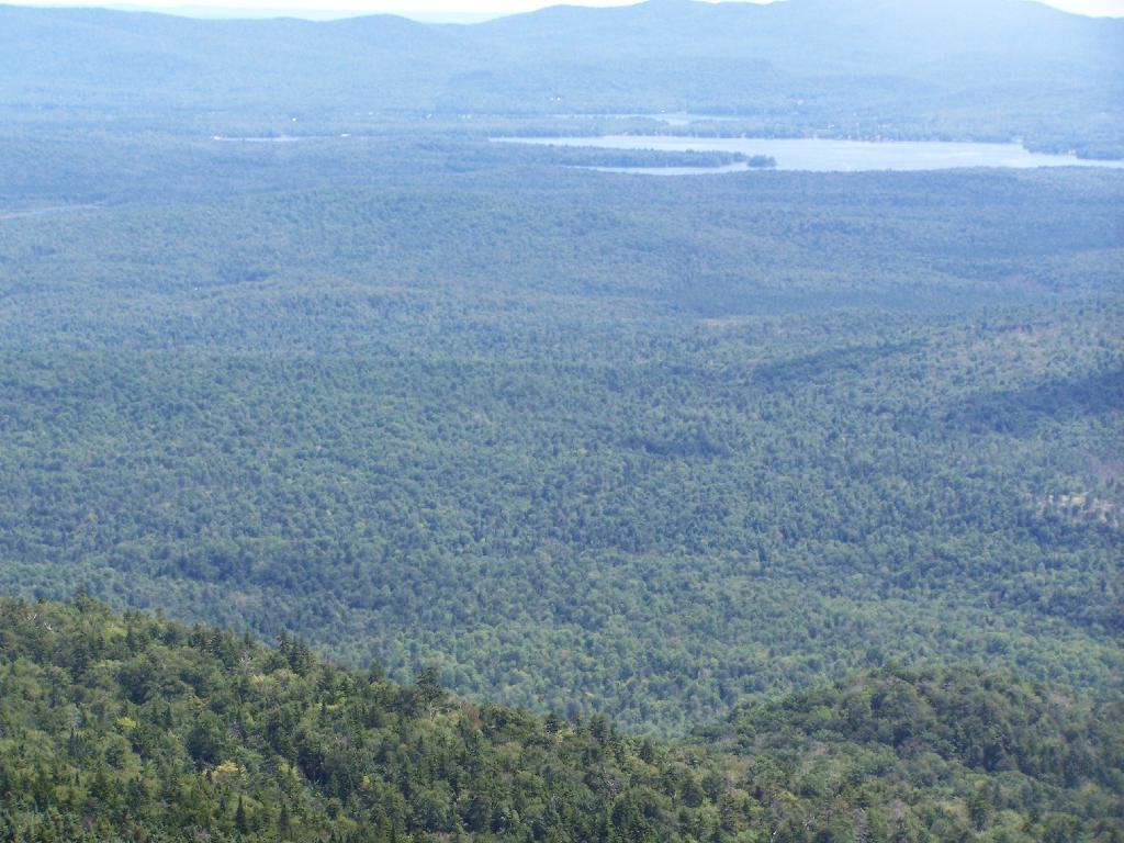
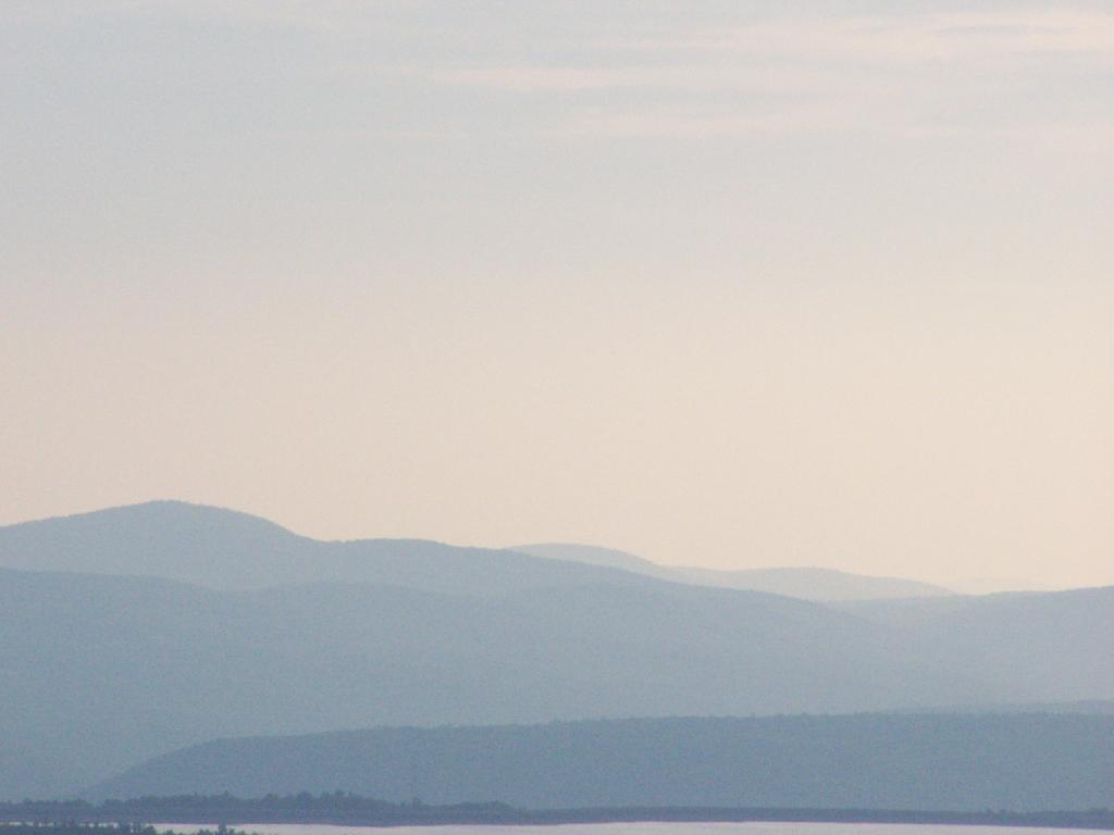
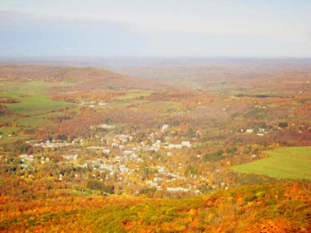
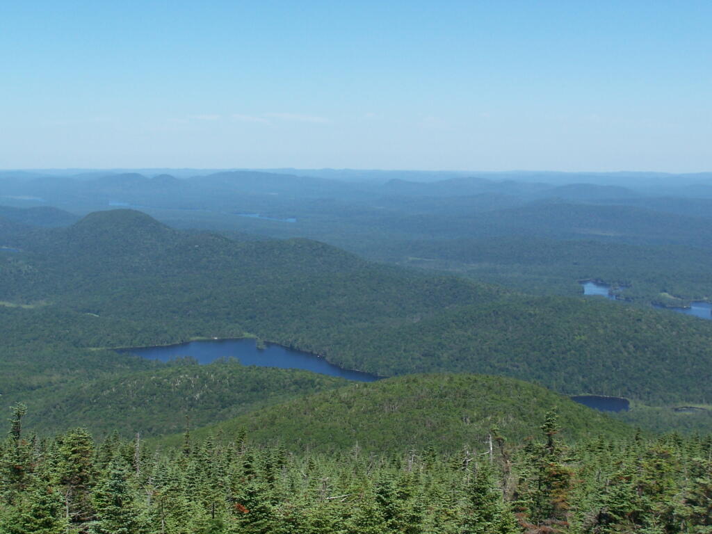
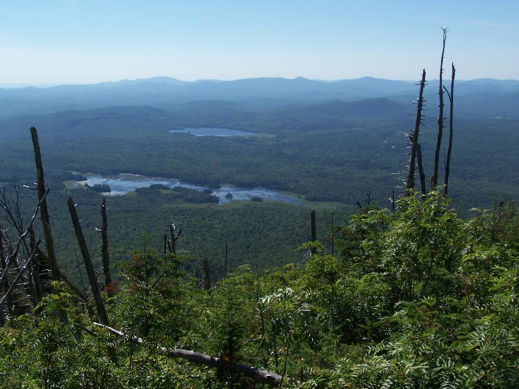
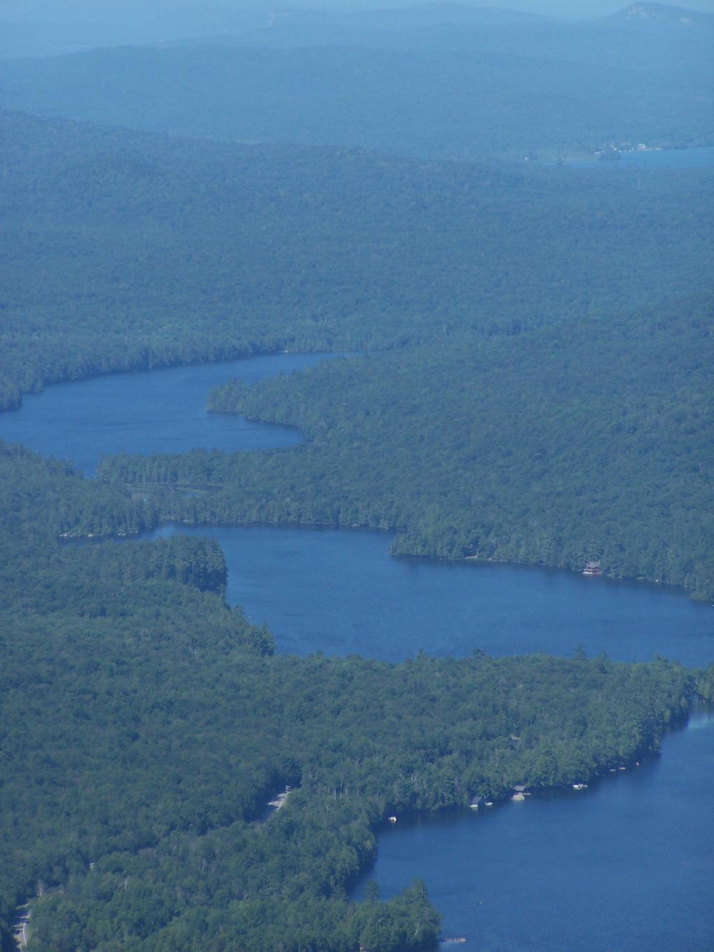
Blue Mountain Lake from the fire tower.

Blue Mountain

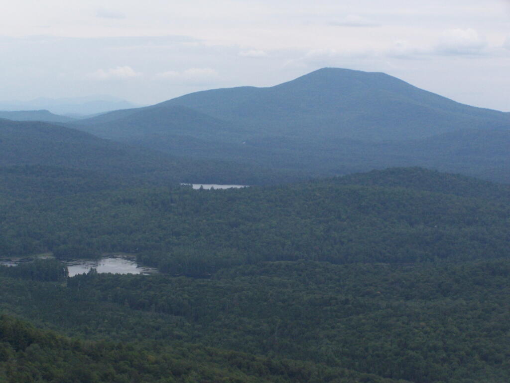
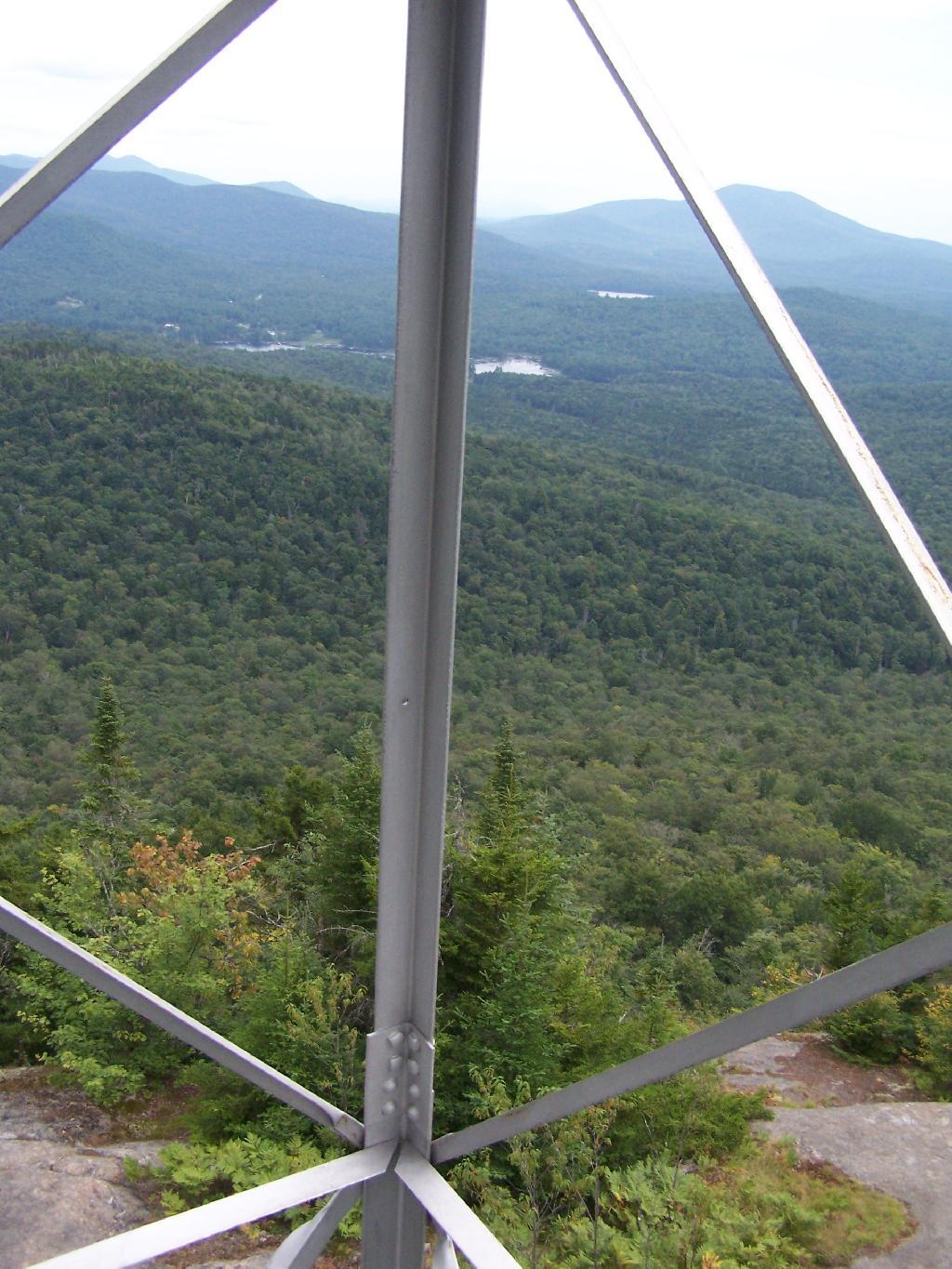
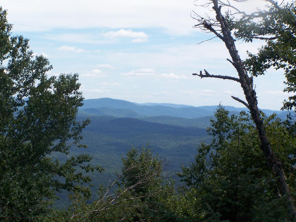
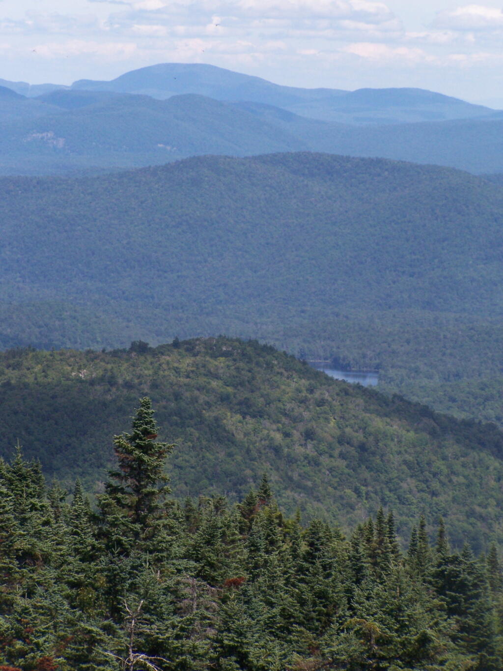
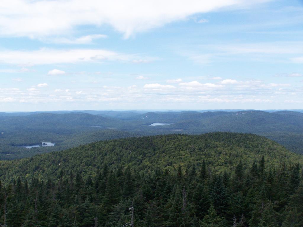
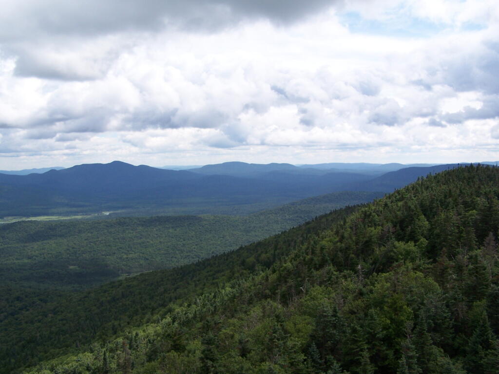
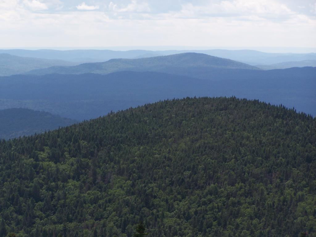
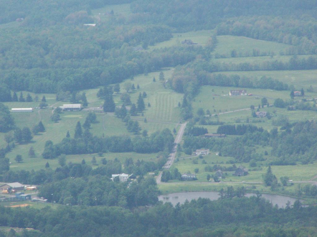
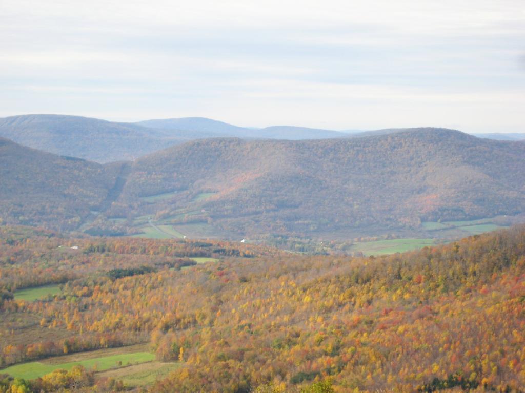
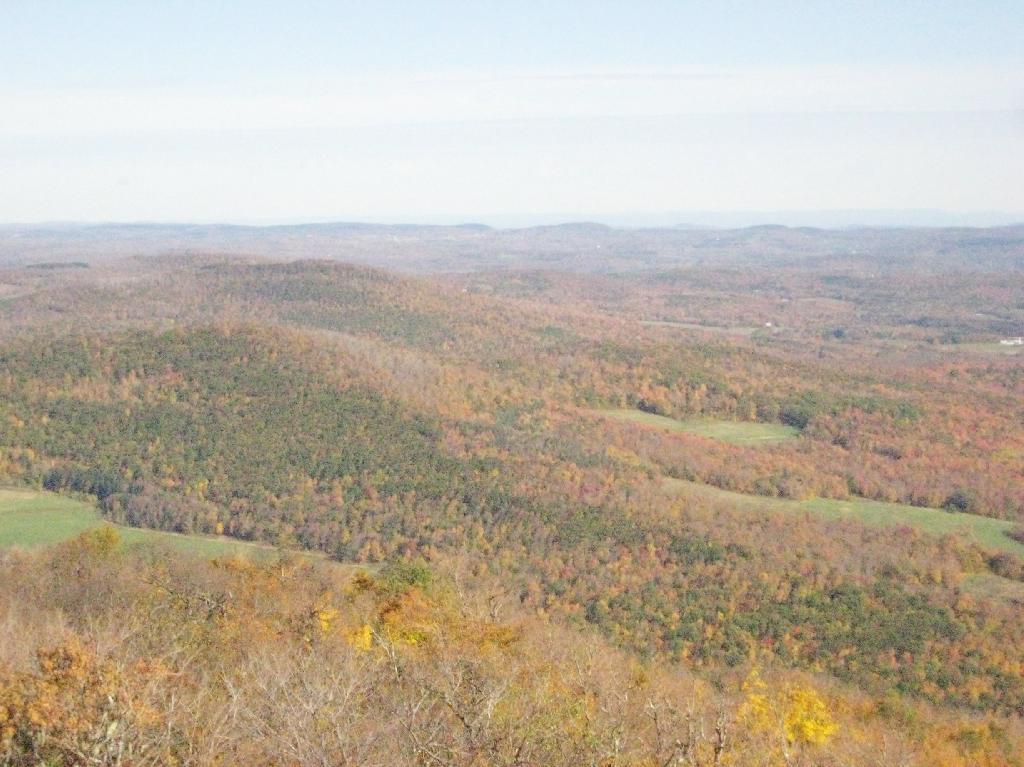
Moose River Plains to the south-west of the tower.

Cedar River Flow

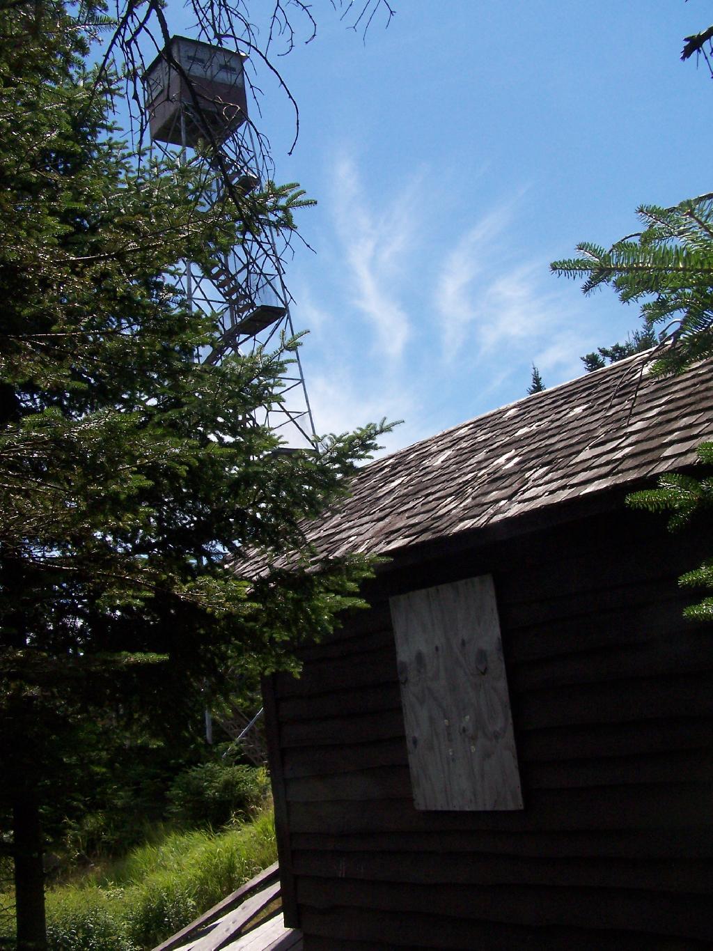
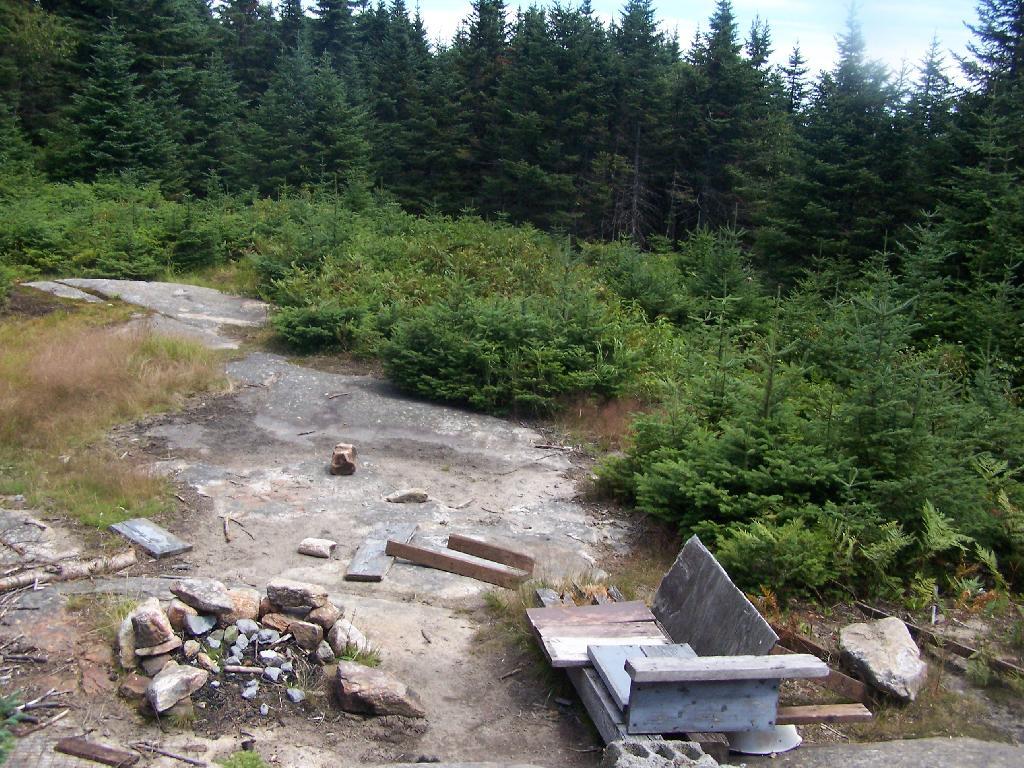
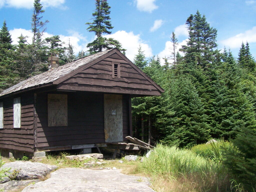
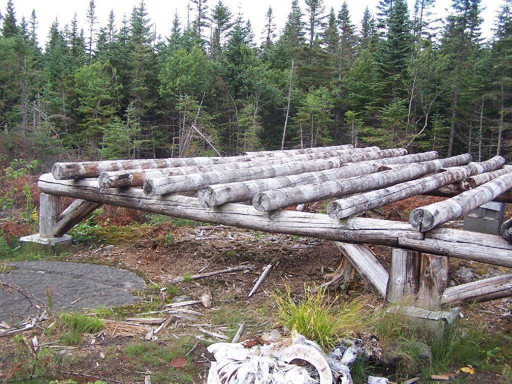
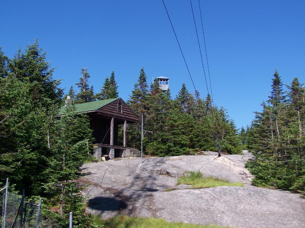
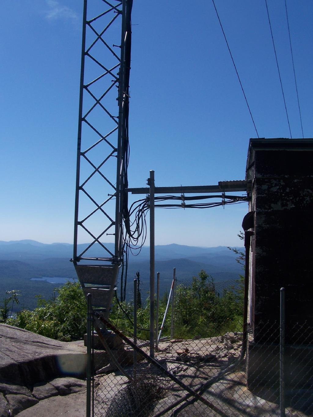
On the eastern side of the mountain, there is a radio tower and the old ranger’s cabin.

Tower from the Eastern Approach

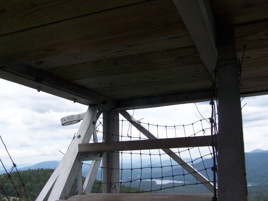
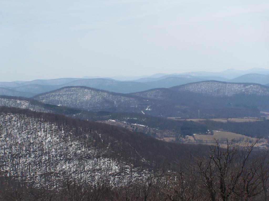
From the eastern side, their is a ledge, where you can see and look down towards like Lake Durant and Moose River Plains.

Lake Durant and Moose River Plains

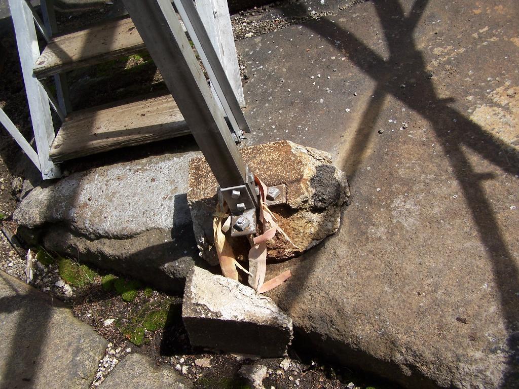
The radio tower up close, with the fence broken down around it. I didn’t hear radio signals in my ears, despite being so close to this big radio tower.

Radio Station

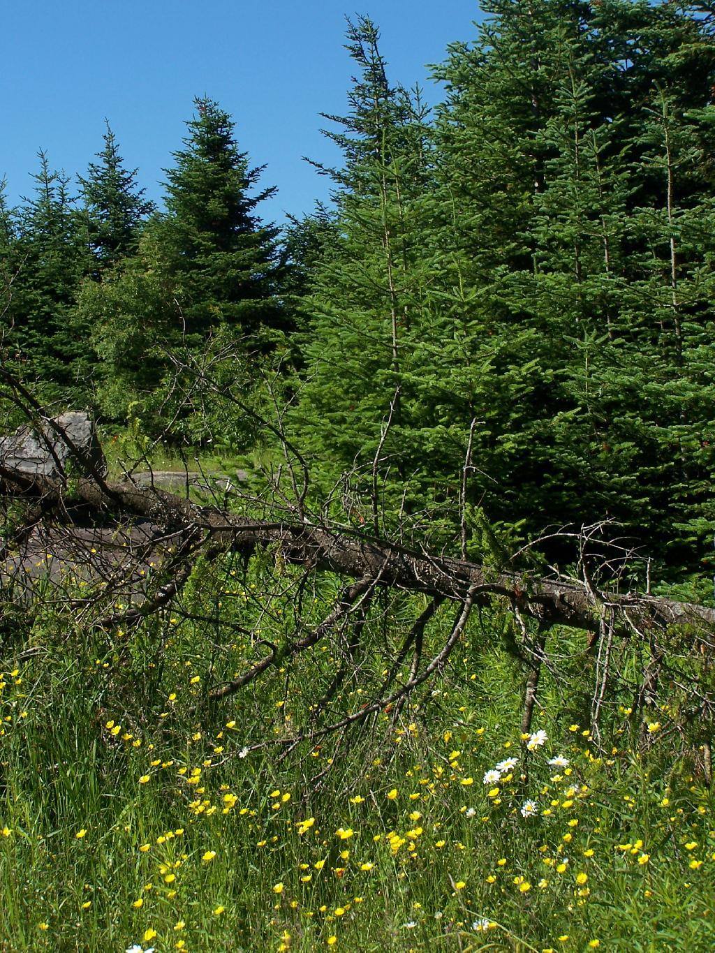
Flowers on the top of the mountain.

 Wildflowers

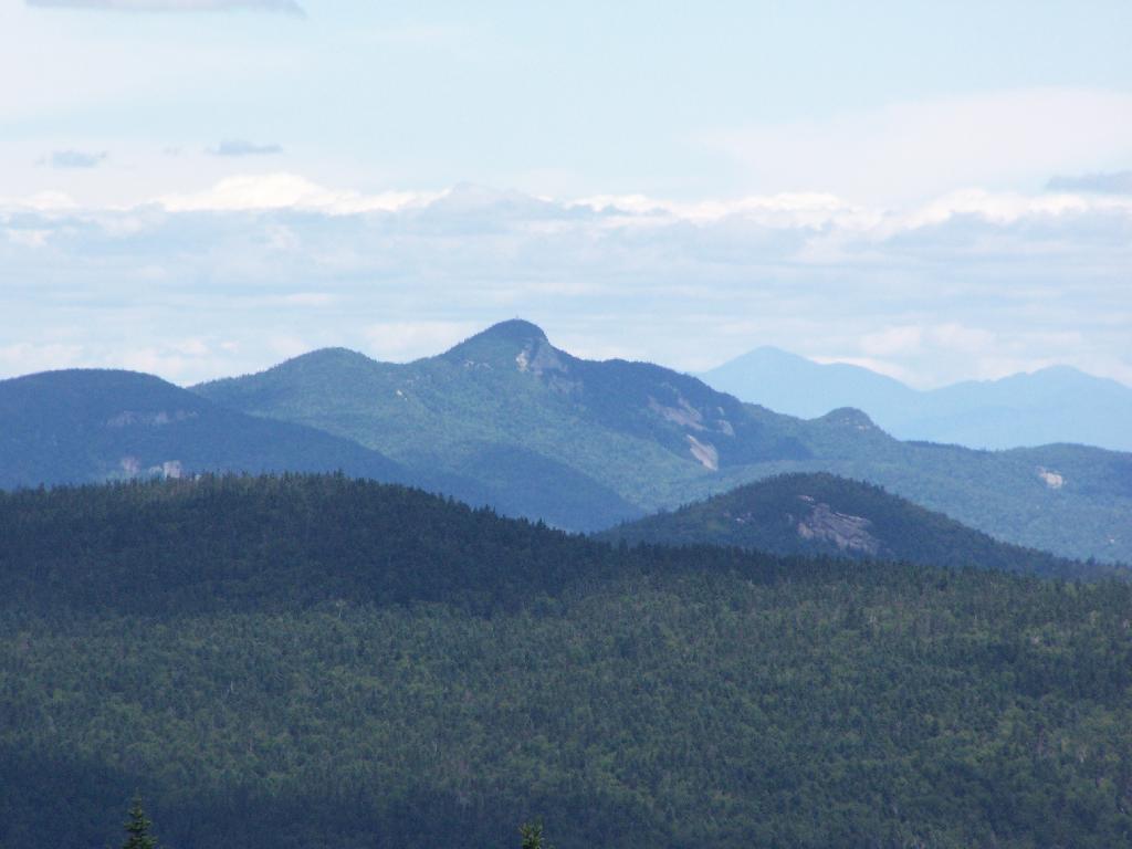
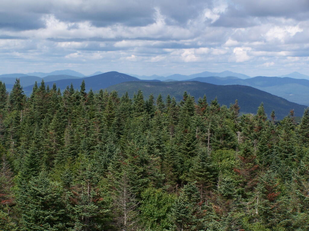
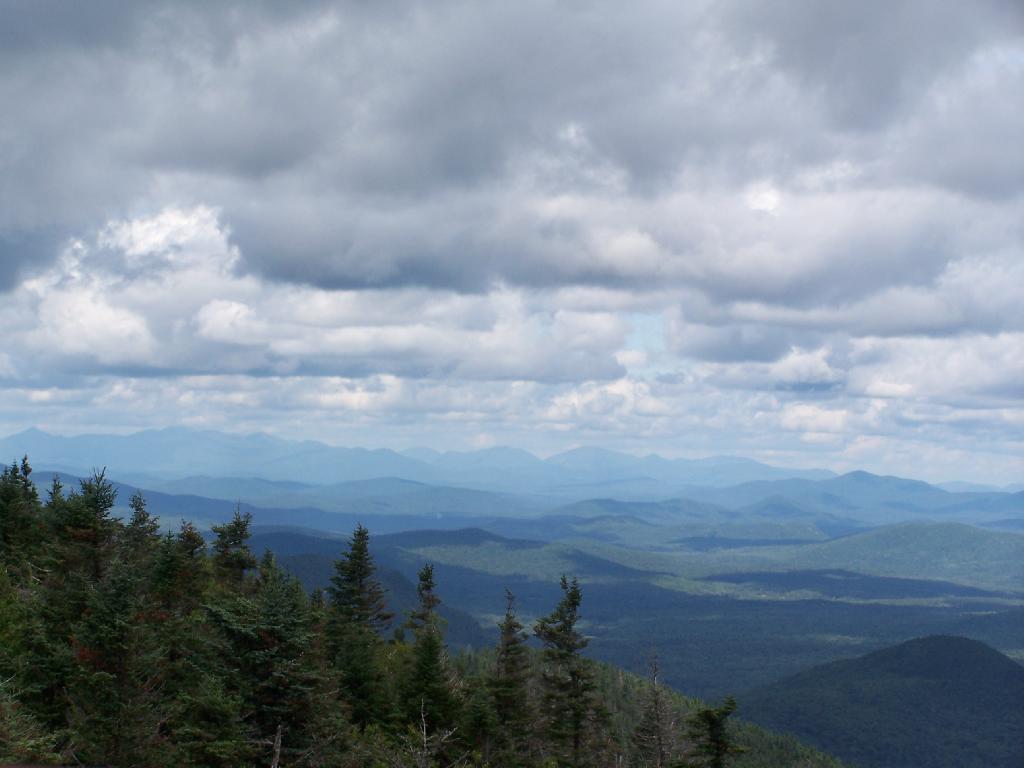
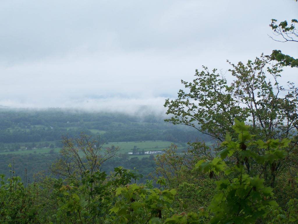
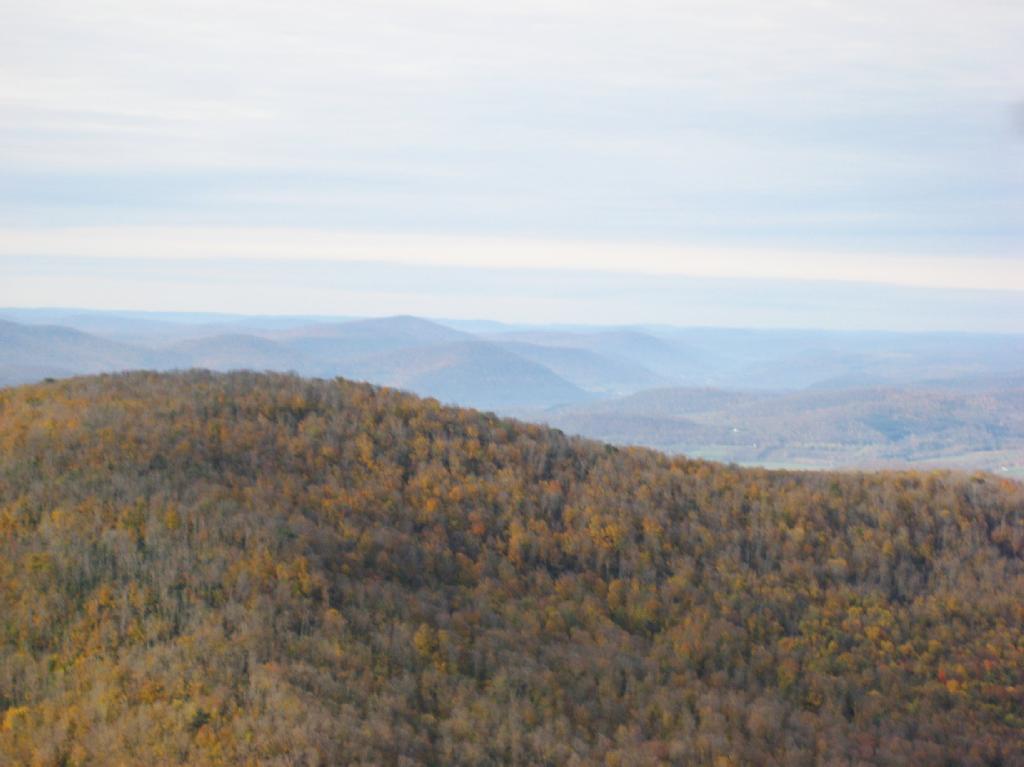
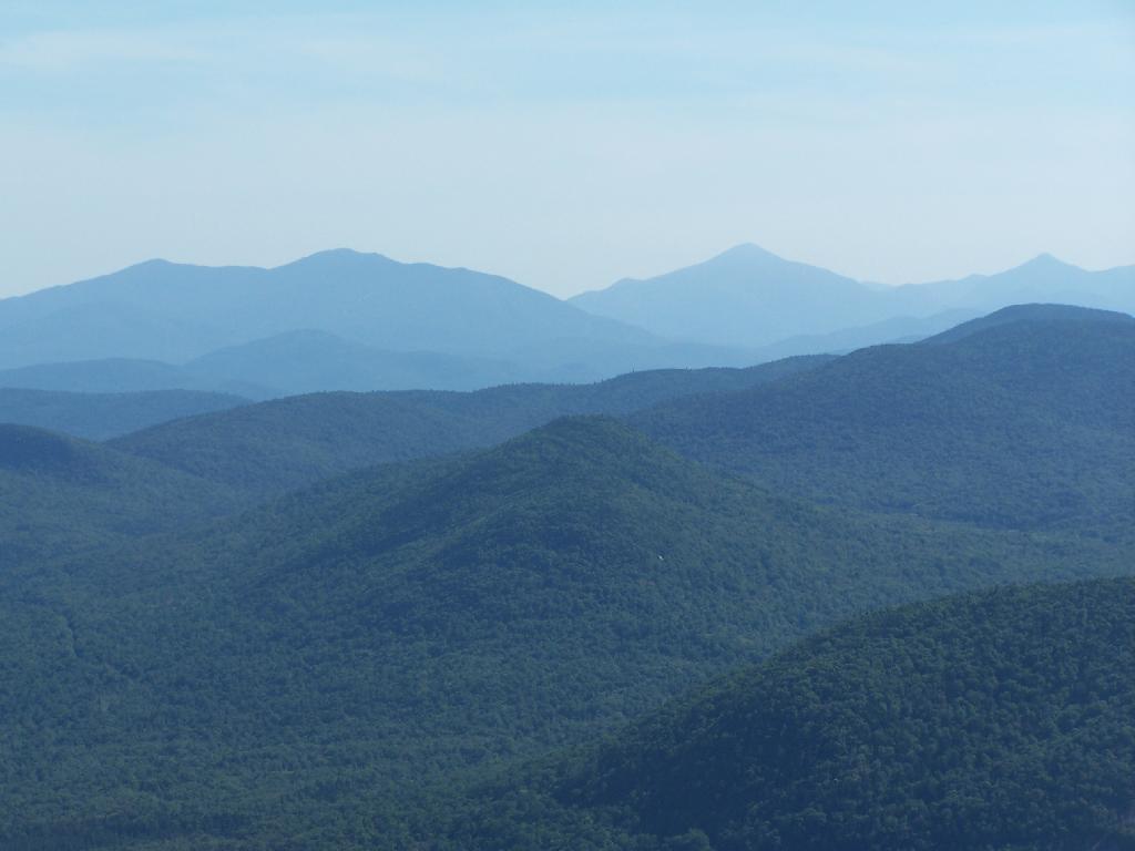
To the north-east there are views of the High Peaks Mountains. They probably woudln’t be as clear on a hazy day.

Mount Marcy in Distance

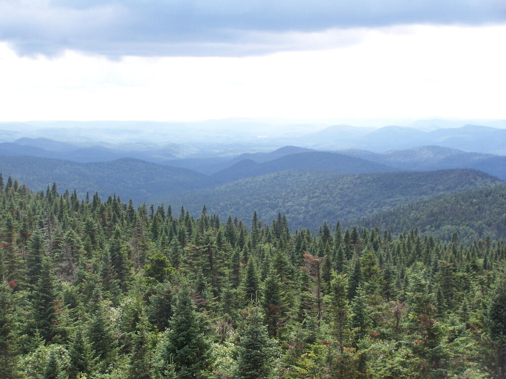
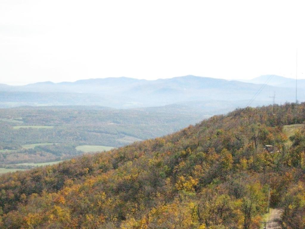
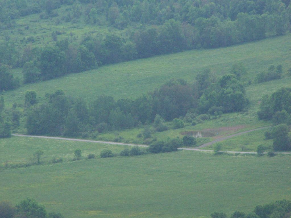
Tirnell Mountain is privately owned to the east, and you can see some active logging on it.

Tirnell Mountain

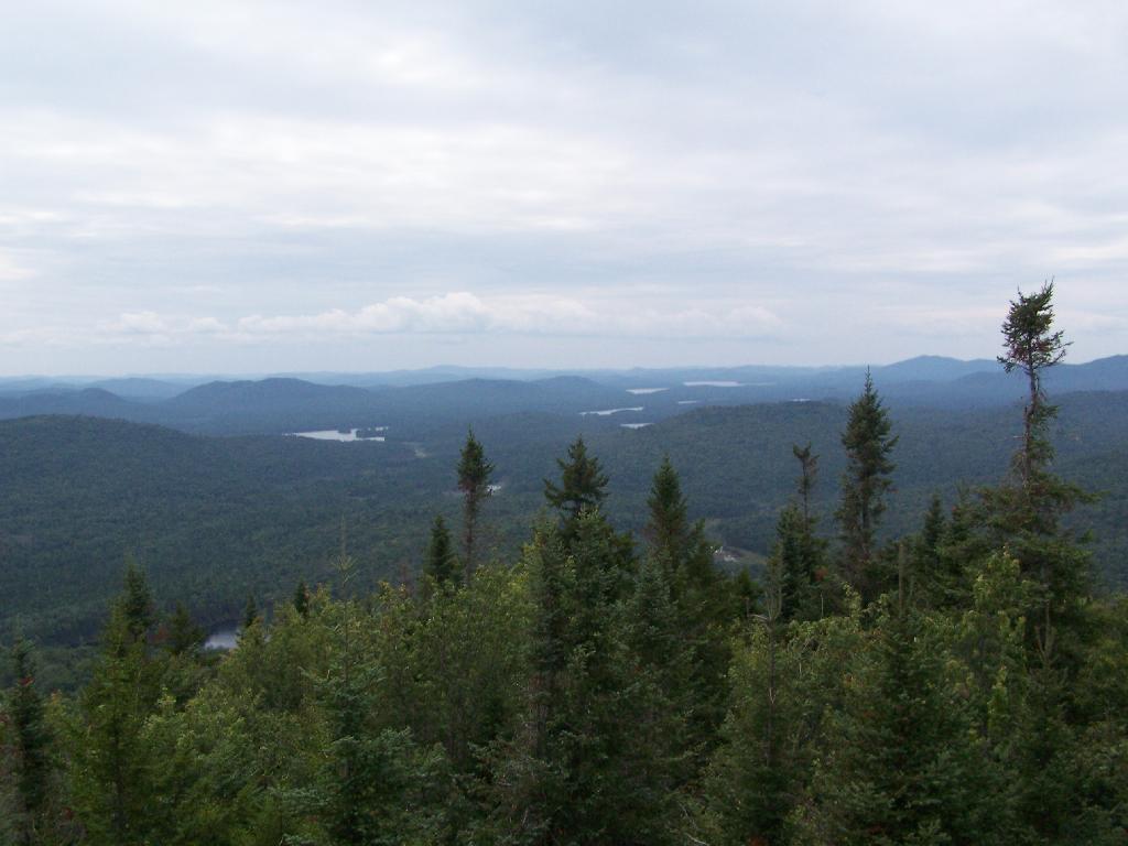
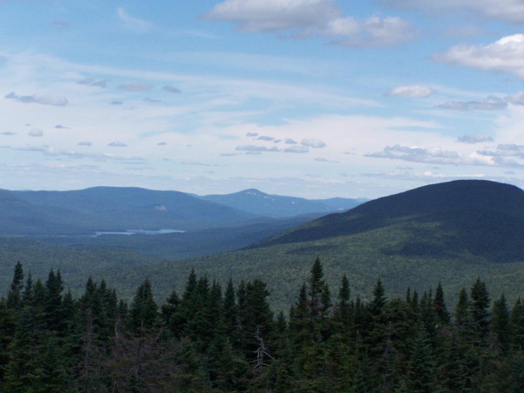
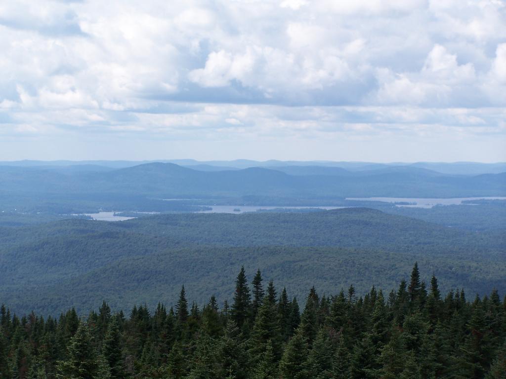
Seventh and Eight Lake as seen from Blue Mountain.

Fulton Chain of Lakes

Here is a map of the hike.

Owls Head Mountain Firetower (Long Lake)

There are at least three different mountains in the Adirondacks known as Owls’ Head due to their small rounded peaks, with broad cols for shoulders. This one is the one near Long Lake, that has a 30 foot LS 45 Aermotor Firetower on top of it.

Sargent Ponds Wild Forest Kiosk. This is where you sign in, so they can have an idea on trail use, and make it easier to find you if your lost or injured.

Sargent Ponds Wild Forest Kiosk

1/2 Mile In. The trail crosses this downed tree.

1/2 Mile In

Boardwalks. Parts of the trail cross marshy areas on board walks, like these constructed on the first 3/4 mile of the trail.

Boardwalks

T Intersection. Make a left at one mile, to go up Owls Head. The other direction takes you to the Lake Eaton State Campground.

T Intersection

Grown Over Steel Trail Marker. It looks like in 1982, the state experimented with these imprinted steel trail markers along the trail, long since largely grown into the barks of the tree.

Grown Over Steel Trail Marker

Views as You Ascend. This is looking backwards, towards the Sargent Ponds Wilderness, Lake Eaton, and the timber lands between here and Tupper Lake.

Views as You Ascend

Observers Cabin Ruins. The cabin the fire warden lived in years ago, is not located on top of Owl’s Head, but below it on the shoulder. It’s a 1/4 mile hike to the top, and you accent about 200 more feet, up the pointly little head. The cabin was probably located here, so the warden could meet visitors, and escort them to the top.

Observers Cabin Ruins

Well Worn Trail. Part of the trail is well worn, and is on open rock face. The good news however is with the lush tree cover, you don’t have to worry about acrophobia up here.

Well Worn Trail

Reaching the Tower. You can’t see the fire tower until your almost on top of it, due to the heavy trees that surround the summit of the mountain, except for the bald portion where the tower is located, open to views to the south and east.

North Creek Falls

Survey Marker. It says it was placed in 1942 by USGS. It’s right below the fire tower proper.

Survey Marker

Fire Tower. The fire tower is a 30 foot LS 45 Aermotor tower, pretty typical for NY State. It’s one of the short little towers, like also seen on Rondaxe Mountain in Eagle Bay.

Fire Tower

Forked Lake. This is looking south from the summit towards Forked Lake Campground and possibly Racquette Lake. The mountain in the distance is Wakely Mountain, one of the other fire towers originally used to pin-point fires in the Adirondacks (it takes two towers to locate a fire through triangulation).

Forked Lake

Long Lake. This is another picture of Long Lake, a little bit farther north, with the shoulder/col of Owls Head visible in the foreground.

Long Lake

North. In the distance is Saranac Lake and Lake Placid, with Whiteface just beyond it. Not the clearest or nicest of days, but still visable. In the foreground is the col/shoulder of Owls Head.

North

Blue Mountain. Blue Mountain is another fire tower / mountain that is visible from Owls Head. Located about 10 miles away, in the foreground are Minnow Pond and Mud Pond.

Blue Mountain

Sargent Ponds Area & Timberland. This portion north of NY 28 Corridor and Fulton Chain of Lakes is relatively flat, wild, and many portions privately owned as timberland.

Sargent Ponds Area & Timberland

Float Plane. Owls Head is not the quietest mountain out there. Throughout the day, tourist float planes for hire, fly on and off Long Lake, just to north of mountain. They fly quiet low, as they are making the decent back to Long Lake.

Float Plane

Long Lake Village. While hazy today, you can see village of Long Lake quite well from the tower. It’s always crazy there, and I try to avoid towns whenever I’m in the Adirondacks.

Long Lake Village

Fire Tower Corner. I always like pictures of the angles and construction of the fire tower. While common after climbing so many, fire towers have a lot of character in their structural steel.

Fire Tower Corner

Tower Cabin Closed. It’s unfortunate but the tower’s cabin on this tower is closed, as it’s used for communications equipment.

Tower Cabin Closed

Sitting on Mountain. Just sitting back and looking south from the open rock face a top Owls Head.

Sitting on Mountain

Old Telephone Poll. Descending the trail off Owls Head, I saw several of the old telephone poles, heading up to the former Ranger’s cabin. Some have been cut down, and used to control run-off on the trail, but others still remain.

Dexter Lake

Here is a map of the hike.


View Owls Head in a larger map

Pillsbury Mountain Firetower

Pillsbury Mountain Firetower is located at the edge of the Jessup River Wild Forest and the West Canada Wilderness. To reach there, you have to drive North of Spectulator, and take about 6 miles of fairly smooth logging roads through International Paper’s Perkins Clearing Easement.

Pillsbury Mountain Sign

Hiking Bridge Across Miami River. Not that th Miami River really deserves to be called a river, but on the trail up the Pillsbury Mountain, its particularly small.

Hiking Bridge Across Miami River

Taking the trail Up Pillsbury Mountain. It’s about two miles long, and not a difficult hike, although you do gain about 1200 in elevation.

Horse Farm Along the Trail

Broken Views Climbing Pillsbury

About a 1/4 mile before reaching the tower, reach marshy and thick boreal forest that the trail passes through, with some re-routes to avoid the muck kicked up over the years.

Often Muddy Trail Atop Pillsbury

Approaching Fire Tower.

Approaching Fire Tower

People Die Here. I kid you not, that’s what the cabin says when you first get here. Combined with the creepy fire tower top, it’s kind of neat.

People Die Here

Tower Cabin. That sure looks scary, doesn’t it? Now I understand why people die up here, probably with a secret DEC Forest Ranger, who hides up there, shooting at people he or she doesn’t like. Or maybe not.

Tower Cabin

Pillsbury Mountain Firetower

The tower is pretty conventional with normal looking landings, a rangers cabin, and a clearing for a helicopter to land in an emergency.

Landings

Fire Place and Clearing for Helicopter Landing

Old Rangers' Cabin

The views from the tower are quite great. Looking east thru the Jessup River Wild Forest.

East

Snowy Mountain to the North. If you look carefully, you can see the tower up top of it.

Snowy Mountain

South towards Lake Pleasant and Spectulator.

Lake Pleasant

Moose River Plans and West Canada Creek Wilderness from Pillsbury Mountain Fire Tower.

Moose River Plans and West Canada Creek Wilderness

North towards Cedar River Flow and Wakely Mountain. If you look carefully, you should be able to see the Wakely Mountain Firetower from here.

Towards Cedar River Flow

Map of the hike.


View Pillsbury Mountain in a larger map

Wakely Mountain Firetower

On the afternoon of Thursday July 22nd I hiked up to the Wakley Mountain Firetower. The weather wasn’t perfect, but it was still quite popular, passing several hikers and families visting this tower. The views are pretty good, but probably not as good as Pillsbury Mountain or Snowy Mountain to the south. The nice thing is it’s a 5 minute drive from Cedar River Flow and pretty close from Moose River Plans too, and provides a great overview of the Plains.

Camp Fire

You can print the above map, by clicking it, to be taken to a high resolution (500 DPI) that will print nicely on a laser or inkjet printer.

When you first start up the mountain, you pass a “Warning! Road Washed Out” sign. This sign is at the parking area for Wakely Mountain, to warn drivers that they won’t get very far on Wakely Mountain Road, since the DEC has basically abandoned it.

Warning! Road Washed Out

Washed Out Road to Wakely Mountain. I honestly don’t expect the DEC to fix this road, but instead will make people walk the entire 3 miles up the mountain, because that keeps the eco-facists happy.

Washed Out Road to Wakely Mountain

Washout on Wakely Road

The End of Wakely Road. That said, you’d be hard press to get a vehicle this far, due to the wash out at the earlier marsh.

The End of Wakely Road

As you climb, you pass this big boulder On side of Wakely.

Big Boulder On Side of Wakely

The first two miles of the trail are pretty flat, a small incline that increases above 400 feet in elevation over two miles.

Flatter Two Miles of Wakely Trail

Marsh Along Wakely Mountain Trail. That’s Payne Mountain, not Wakely Mountain in the background.

Marsh Along Wakely Mountain Trail

The Final Mile. You might think the previous two miles of the Wakely Mountain trail where easy, rising maybe 300 feet, until you hit the last mile, as indicated by this sign. It’s another 1200 feet on up for that last mile.

The Final Mile

The trail up Wakely Mountain is badly eroded due to heavy use and neglect by the DEC.

Badly Eroded Wakley Mountain Trail

The last mile up Wakely Mountain is a long one, especially if you start late in the afternoon as I did. You are treated with some limited views while climbing Wakely Mountain, but all and all, there isn’t a lot to see except steep trail (but no open rock face!).

Broken Views Climbing Wakely

Once you almost reach the top of the mountain, you come to the Wakely Mountain Helipad. This is used by emergency responders, providing quick access to the top of mountain, to either access the tower for observation, or to help those injured on top of the mountain.

Next to helipad is a trash pile. I was wondering how this trash ended up top of the mountain, but after thinking about it a bit, it probably was trash from the ranger’s cabin, that was dumped here some time in the past, and was dug up in the re-construction of the helipad.

Trash Pile Next to Helipad

Eventually you reach the fire tower, about a 500 feet from the Helipad. The Wakely Fire Tower is an interesting Aeromotor LS 25 tower, that originally lacked a staircase, but was added in the form of an internal ladder, for the convience of hikers and the fire warden alike. Prior to the 1919 addition of the “stairs tower within the fire tower”, you had to climb a ladder on the side of the tower, to get all 60 feet to the top of the tower.

Wakely Fire Tower Stairs Inside Tower

Here is the original ladder you had to climb. They removed the lower flights to discourage people from trying to use the ladder, although the stairs themselves also lack any safety fencing, so it’s a bit scary if your not used to climbing towers.

Tower within a Tower

A close up over the tower within the tower.

Wakely Fire Tower Stairs Inside Tower

The firetower presents one with spectular views of the upper Moose River Plains, from the marshy end of Cedar River Flow to the Lost Ponds area, to around Wakely Dam and Wakely Pond.

Plains from Firetower

To the east is the Blue Ridge Wilderness and Blue Mountain.

Blue Ridge and Blue Mountain

Looking down towards Indian Lake from the Fire Tower. There are many beautiful peaks to the south east.

Towards Indian Lake

You can also see the High Peaks from Wakley Mountain.

High Peaks from Wakley Mountain

And the Fulton Chain of Lakes.

Fulton Chain of Lakes

Cellar Mountain somewhat blocks the views to the west, as you look down to the plains, towards the ridges that follow along the NY 28 Corridor.

Cellar Mountain

The tower’s foundation sadly is in bad shape and needs work. The cabin of the tower is also only accessible via ladder, if your crazy enough to do that. It lacks safety fences on the various landings. Hopefully the state will find the funds and resources to restore this beautiful and popular tower, even though it’s likely to be expensive due to the need to use to Helicopter in supplies and possibly ironworkers to restore it.

Cracked Firetower Foundation

A Google Map of the hike…


View Wakely Mountain Firetower in a larger map

Truck Camping On Leonard Hill

Up by the Leonard Hill Fire Tower, there is a clearing cut into the hillside, and an area where there is a little fire place, and some grass that never grows that tall. It’s obvious that people camp up here from time to time, to enjoy the beautiful sunset, and myself I’ve been itching to watch a sunset from here for some time.

Watching the Rain Come In

While on June 5th, the weather was somewhat cloudy, as thunderstorm after thunderstorm came rolling through the valleys and mountains alike, it actually turned out to be a remarkably beautiful evening. with a beautiful sunset into the clouds. The views from Leonard Hill where as spectacular as always.

The Truck

Looking at my camping set up.

Looking at the Campsite

The rain lead to some beautiful misty sky scapes, especially as the sun was lowering in the sky. Here is Rossman Hill, where I had camped deep in the valley the previous night.

Rossman Hills in the Fog

And here Blenheim Mountain with the Blenheim Upper Power Project Reservoir above it.

Blenhium Mountain

It was windy up there, but the little White Gas Coleman Stove did just find boiling the water for the pasta I was cooking up for dinner. I did stick it behind this little rock to provide a little more shelter from the wind, but regardless cooked it quickly.

Cooking Dinner

With the wind racing up the hill with coming front, I kept the fire very small and a lot of water nearby. It had been raining throughout the day, so things weren’t particularly flammable, but with the winds being so strong, it was a bit frightening.

Sitting at a Campfire

I watched the sunset into the valley while the very small campfire roared away with the winds whipping away. It wasn’t particularly cool, but by 8 PM, I did feel it neccessary to put on a long-sleeved shirt.

Rays of Sun Through the Trees

The sun setting through the trees.

Sunsets Through the Trees

With the clouds starting to over take the sun.

 Sun in the Clouds

And eventually a front comes through, making the sun set before it normally would, quite far to the north, over Rossman Hill.

Front Covers the Sunset

The view after sunset. You can just barely make out the mountains, from Utsayathana to the left, to Blenheim and the Reservoir in the center, to Burnt-Rossman Hills on the right.

After Sunset

The truck truck and camping gear after dark.

Camping on Leonard Hill

Awaking in the morning to pounding rain, which fortunately let up into a relatively thick fog by the time I got up in the morning. Here is a view out the back window of the truck cap.

First View This Morning

My “night stand” in the truck. Books, radio, flashlight, even fan. I’m as well prepared as I would be at home for sure. That light has only a 9-watt florescent bulb in it, although if I ever needed more light, I have two other lead-lamps with 26-watt florescent in them to illuminate the night.

Under the Cap

Packing up my gear on the foggy morning.

Getting Up and Packing Up Gear

The rain and fog pretty much obstructed the view by morning.

Rain Looking Off Leonard Hill

The farther I got down the mountain, the worst the weather got on the truck trail. A little farther down the mountain, the fog was so bad, I had to drive really slow with my truck.

 Driving Down Truck Trail in Heavy Fog

Here is a map of where I camped on top of Leonard Hill.

Mount Utsayantha

Mount Utsayantha is a village park, high above Stamford, NY. It is accessable either by driving or hiking up a steep one-lane truck trail. I decided to drive up, mainly because I was interested in the view more then the hike up (which would be delightful too).

Sign for Mountain

Here is looking off the firetower at the former gift-shop/observation building that was badly vandalized and is in process of being restored.

Observation Tower

Driving up the truck trail to the park, when you almost reach the top, there is a location where you can pull off, and looking for a wonderful northernly view, with farmlands in the foreground, and Emmenence State Forest in the distance.

North West of Stamford

The views from atop of the fire tower are nothing short of amazing. This is from inside the tower, looking out the windows.

Tower Windows

Here is Stamford, NY, looking off the mountain early on October 12th. They say on a clear day, in the distance you can see out towards Oneonta, or at least Hartwick College high up on the hill.

Morning in Stamford

This is one of the amazing views looking out of the windows from the cabin of the fire tower.

Untitled

Here is Churchhill Mountain in the foreground, with Lyon Mountain and Cowan Mountains in the background.

Western Catskills

There are several radio towers on Utsayantha Mountain, which sometimes get in the way of pictures, but it’s still amazing what you see from the tower. In the background you see the area around Grand Gorge, and Irish and Pine Mountains inside of the park.

Untitled

Here is the largely forested area north of Stamford, around places like Summit.

Untitled

These are the many peaks around Roxbury, looking into the western Catskill Park.

Untitled

The Mount Utsayantha Fire Tower.

Tower Mountain Road

If you ever heading over NY 23, heading back from Oneonta to Albany, or otherwise can take a detour from NY 30 in the area of Grand George, it’s well worth to take a drive up to Stamford, and then up to the fire tower.

The truck trail up to Mount Utsayantha is unmaintained in the winter. Once ice sets in on the trail, you’ll be pretty much limited to going up it with snowshoes or x-country skis (if your careful — it’s steep). It’s probably very cold and windswept in the winter, but the views are probably still amazing.

Here is a map. To get there, take NY 23 East from Stamford to Tower Mountain Road on the outskirts of town, then drive Tower Mountain Road for about 2 miles, until you reach the top of a ridge. You can park from here, and either hike/snowshoe “Utsayantha Mountain” the dirt road a mile to the top or drive up it in nice weather.

The Mount Utsayantha Project by the Village of Stamford and the Catskill Center for Conservation and Development has more information this mountain with amazing views.