drive

Places Named After States in New York State

Don’t believe me, check it on Google Maps. The drive from Alabama to Wyoming is only 32 miles, going through Batavia, NY in Western NY.

Now on to the state name game. Be aware, I have only driven through only 9 of the 14 census designated places in New York named after other states (driven through Delaware (County), Florida, Maine, Maryland, (New) Mexico, New York, Ohio, Oregon, Vermont(ville), and Texas) or with a similiar name or origin to other state names.

Alabama, NY.

Delaware (County), NY.

Florida, NY.

Maine, NY.

Maryland, NY.

(New) Mexico, NY.

New York, NY.

Ohio, NY.

Oregon, NY.

Rhode Island, NY.

Texas, NY.

Vermont(ville), NY.

Washington, NY.

Wyoming, NY.

Driving to Work Really Sucks

Most days I take the bus downtown to work. Yet, yesterday I was running really late, so I decided instead to drive into work. The idea is would save me a little time — at least compared to waiting another 10 minutes for the next bus to come.

And I did get to work a little bit earlier. But I wasn’t happy. I had to fight traffic both in and out of the city, then find an on-street parking spot. While were I park is far enough from the state office buildings and with permit parking to be quite easy, but it still was not a pleasant experience.

Circle Stack Interchange

You have to drive around the block looking for a spot. Then once you find your spot, you have to get in it, and make sure your in compliance with all of the parking regulations. You check the signs to make sure your on the street the proper day, then look for driveways, crosswalks, and fire hydrants. After a while you get to memorize all of things, but you still want to check.

Alternatively, you can pay $3 and park in a city lot, where they feed the homeless people and winos. Who may spend the day sleeping under your car. Not exactly a great choice. Yes there are other lots, but either they are a lot more expensive, or they require you to pay for a month permit.

The Giant Refrigerator

Then you spend all day wonder if some drunk driver or stupid city person is going to crash into your truck, while your at work. You get back your truck at night, and then say, thank god, nobody has messed with my truck while at work. And then you drive home.

If your lucky, you get out of work after rush hour. Otherwise, you sit in traffic, while you try to find all of the residential side streets to sneak past the worst of the traffic. But you still sit in traffic. Eventually, you get home, usually just about the time the evening bus stops next to your house.

..You come to conclusion, that despite burning a gallon of gas, and worrying all day, you didn’t realization you didn’t really save much time at all.

Why Jones Hill is One of My Favorite Fall Hikes

One of my favorite fall hikes when I am out in Syracuse is to hike Jones Hill, which is about 10 miles east of Tully. It’s a quick hop down I-81, as you climb into the mountains, and then take NY 80 through some farm land, and south past Labrador Hollow and Labrador Pond.

Towards Meeker Hill

You should probably do the hike in the morning, for the best views of country east of here. The fall leaves up here turn earler then in Syracuse.

Population within 100 miles of Governor Candidates

What makes Jones Hill so unique is what you see in the vista. Below you is Labrador Pond, a 101 acre lake with many unique and endangered species. Across the way is Labrador Hill, and to the north to the farm country around Tully.

NY 80 in Apulia

The leaves are always quite spectulator up here, especially if you catch them at peak, which is usually a week prior to Columbus Day Weekend. On Columbus Day Weekend, in contrast, you should go to Green Lake State Park — preferably at sunrise, before the crowds arrive.

The Kinderhook Gorge Reminds Me of the Adirondacks

Goodbye, West River Road

Tonight I write this words on my laptop, camping on West River Road, along the West Branch of the Sacanadaga River. This a beautiful site, soon to be gated off miles in the distance, to supposedly improve the “wilderness” character of this area.

Buck Pond Mountain

Despite the fact that …

The lands of the state, now owned or hereafter acquired, constituting the forest preserve as now fixed by law, shall be forever kept as wild forest lands. They shall not be leased, sold or exchanged, or be taken by any corporation, public or private, nor shall the timber thereon be sold, removed or destroyed.

… the Department of Environmental Conservation and the Adirondack Park Agency feels it neccessary to close off West River Road to “enhance” the wilderness quality of the “Silver Lake Wilderness”. West River Road will never be expanded or extended, and it’s unlikely many campsites will ever be added to it because the lands are forever wild, and no tree over 3″ may ever cut.

Whitehouse Road is in Perfect Shape

I am not advocating for paving over the Adirondack Park for strip malls, or running high-speed expressways through virgin forest. I am advocating for keeping traditional, well maintained, roads open, and protecting our remaining roads and campsites in their traditional uses.

Sparking River

Yet, still the DEC finds it’s hands tied due to Adirondack Park State Land Master Plan that dicates the Adirondack Park’s state land must become increasingly restricted in public use, and that more restrictions must be placed on public use β€” less camping, less roads open to the public.

Sparkle

It’s sad, because people like myself liked camping on these lands. While in the future, people will be able to walk on this perfectly good road for vehicular traffic, and backpack into the limited number of campsites, roadside camping might forever be gone from this area. More and more Adirondack Park Roads are forever gone, and unless your willing to backpack in often many miles, these lands will forever be closed off for public use.

Historic Whitehouse Chimney To Be Demolished

Road Trip to Dimock PA

Roughly 30 miles south of Binghamton, NY is Dimock, PA. I wanted to visit Dimock for some time, because I wanted to see up close the impacts of natural gas drilling in Pennsylvania. Dimock is particularly infamous for a couple of tragic accidents caused by faulting casing in gas wells causing poisonous hydrocarbons to leak out into the surrounding area. Dimock is also the home of Cabot Oil and Gas, one of the most controversial drilling companies in Pennsylvania due to their awful track record with certain wells.

NY 29 to Montrose.

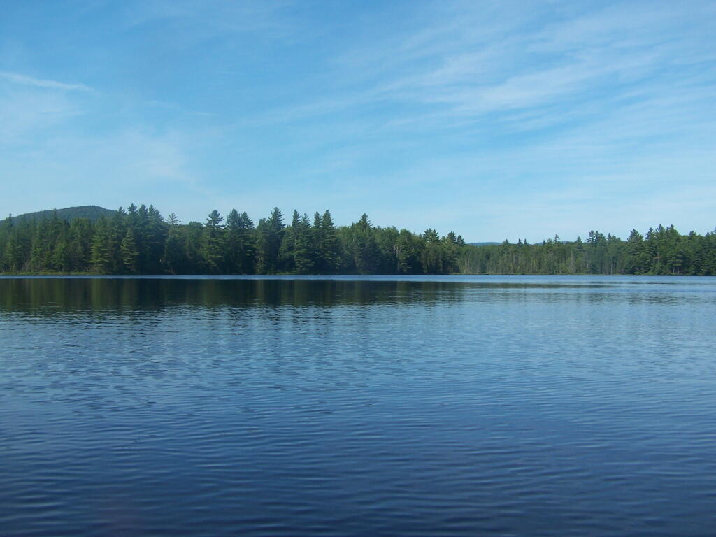
I’d didn’t stop and take any pictures, but I’m including some images from Google Maps, and you’ll just have to imagine the rest from my words.

Dimock is an easy drive to get to from New York State – just take NY Route 7 south from Binghamton (you can access it from I-81 Exit 1 South of Binghamton), and NY Route 7 becomes PA Route 29 as you cross the state border. PA 29 is a very narrow and slow road, going through many hamlets, and the road is in serious need of repairs – although it was in awful shape the last time I drove it in 2008, prior to the big gas boom. Normal commercial and agricultural traffic has long made this road need of a rebuild and widening heading to the Capitol of Susquehanna County. The additional drilling related traffic hasn’t helped this road, as it ages long beyond, it’s time for widening and replacement.

PA 29 is the main road from Binghamton to Montrose. It has for a long time been congested with traffic heading to and from the capital of Susquehanna County. For most part the traffic is to be expected on a rural arterial – lots of folks in pickup trucks, beat up cars, milk trucks, grain trucks, pickups towing horse and cattle trailers. There are also traffic related to gas drilling, such as fresh water haul trucks used for fracking, and residual waste trucks hauling away condensate from gas well. I saw a pickup truck with a goose-neck trailer with drilling bits on it. For the most part traffic was free flowing.

There are small cattle farms in valley below PA 29, and some of the mountains above the road show quarrying activity for Blue Stone and possibly also coal. Nothing too obvious from the roads, but in one or two places, it’s obvious there is some mountains being mined for their products.

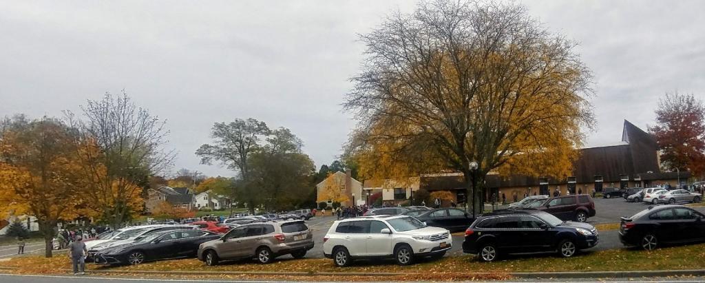
Busy Montrose on Saturday.

Eventually you real reach the borough of Montrose. This small city was very busy, but that’s to be expected of the only city in the region on a Saturday. People go to city to pick up groceries, shop, and fill up at the gas station. Walmart – on the outskirts of the city – was particularly crazy there.

There was a mix of truck traffic from different sources – some agricultural, some oil and gas related, some other for other businesses like grocery stores. Busy, but certainly not grid lock. Montrose is a pretty gritty little city, much like other cites in Twin Tier region, with lot of folks in big jacked up pickup trucks with gun racks. It’s certainly not an urban area by any extent of the imagination. Traffic in Montrose reminded me much of busy nature of Wellsboro PA or Watkins Glen NY.

South of Montrose.

South of Montrose is where the country starts to open up along NY 29. There is some rural houses on large lots on NY 29, but it’s mostly farm country. Traffic is very light south of Montrose. There are many farms on hilltops and across the landscape. Just past Dimock Post Office, and a few houses, there is Cabot Oil and Gas offices. Cabot Oil and Gas’ Dimock Headquarters is a one-story ranch-style building, that appears to be formally a rural doctors office or other small business office. It’s not a new building. The parking lot has been expanded with gravel – it’s obvious that once the gas wells are completed in this area, Cabot probably will be closing out this regional office.

This is where you first start to see first gas wells, one right beyond the Cabot Oil and Gas Office, and one on a farm field to the left of the road. This gas well is completed, although there are two condensate tanks on the roughly 4-acres pad. The pad is large, when viewed up close from the road, but there are no equipment on the pad except for the tanks. There is no reason why they could not remove the pad now, except for the access road to condensate tanks for occasional pumping. Farming activity is going up and around the well pad, with alfalfa currently planted around the pad, for the dairy farm on which it is located. Well pads are located on farms that are roughly 250 acres in size on steeply rolling country, so their impact both on farms and landscape is minimal. Spacing requirements limit well pads to one per 160 acres – but realistically terrain and gas fields expand things out further then that.

For the next three miles, as you go up and down several hills, there is no well pads thats can be seen, until one pops up in the distance on right. This well doesn’t produce any condensate or was abandoned, so there are no tanks or equipment above around. From there, it’s kind of hilly, with a lot of forested brush lands, in areas not economical to farm, mostly used for residents in fall to harvest wood for heating, and hunting in fall.

Lemon to Nicholson.

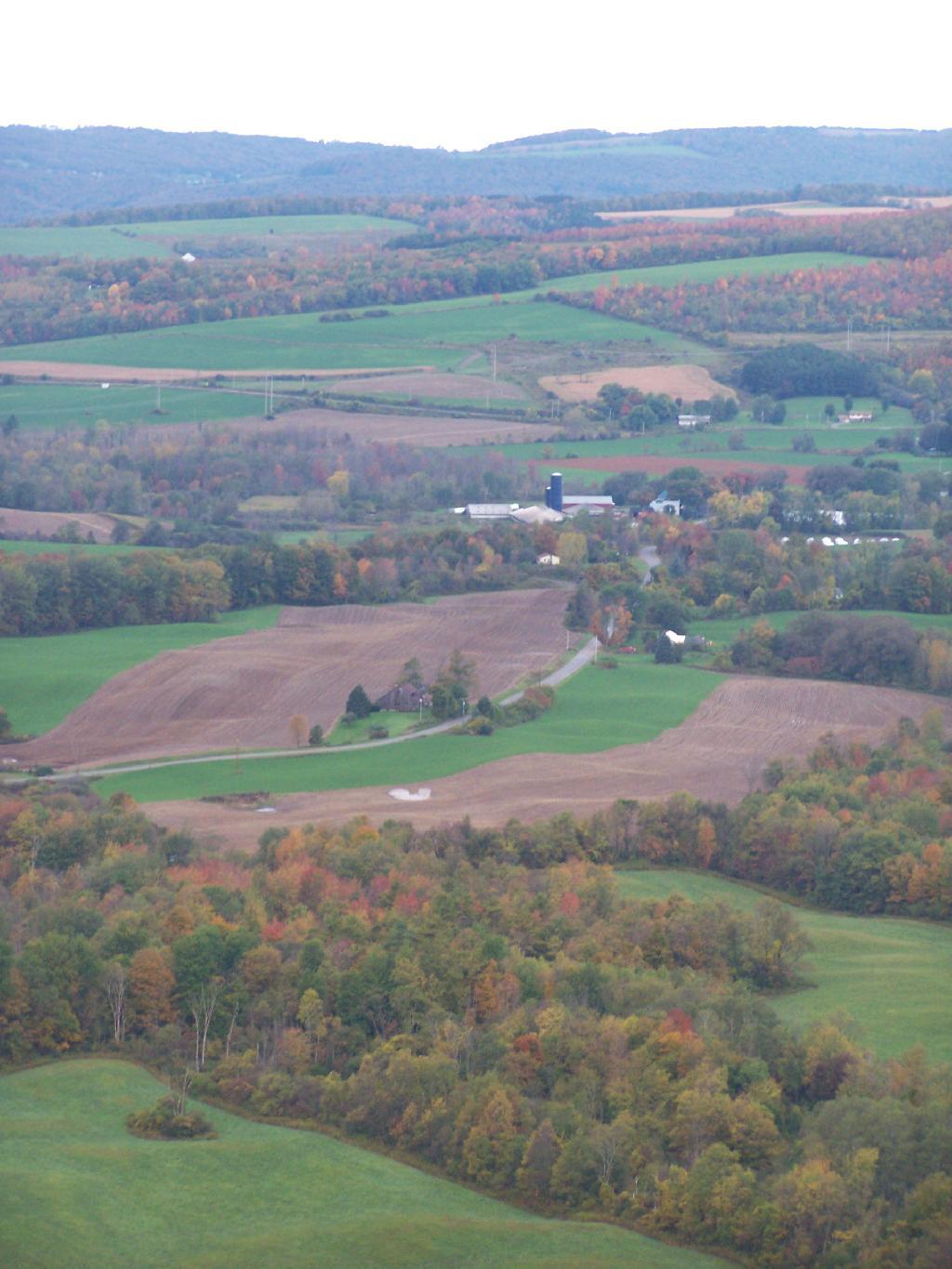
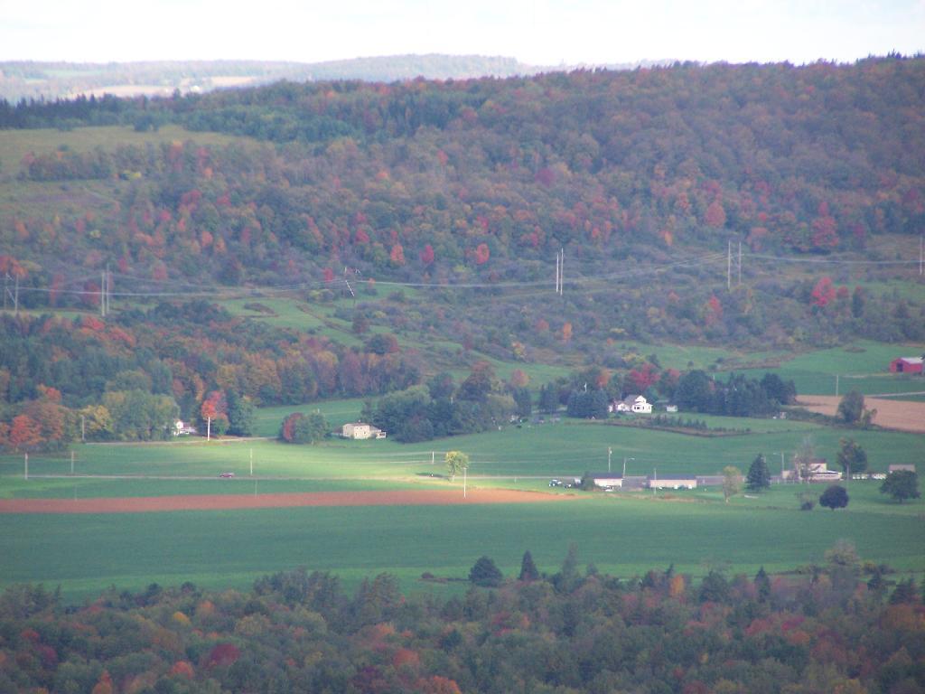
When I got down to an unmarked hamlet known as Lemon, I took a left onto State Route 1006, and started winding around farm country. Climbing out of valley, up towards Seely Hill, there where many well manicured farms, that obviously where well capitalized, professionally run operations without a lot of junk in their yards. None of farms where particularly large, as this area lacks the soils to sustain CAFO-sized farms, but with beautiful old farm houses painted white, and barns painted red. Cows where grazing around, corns, alfalfa, hay, and soybeans where planted following the landscape. Atop some of the hills, you could see for miles.

Not everything was picture perfect. It was a working landscape, and some farms where more messy then other. Passed a junkyard, and some trailers and houses. Almost everybody had burn barrels or pits for trash. Many had targets and stuffed deer statues in their backyards used for plinking. There where some abandoned houses, and grown up fields. It was very much a rural landscape – a bit a beautiful, wild and free landscape. There was rural poverty. It is a scene not unfamiliar to a New Yorker, something not far from one’s imagination, although due to the more southernly latitude allows farming on many hilltops unlike NY State.

You would climb one steep hill, and descend another, and you might see an gas well. After a while of winding on some back road, I saw a gas well under construction. Drilling rigs are big and tall, and there is a lot of trucks holding water, flowback water, chemicals, and drilling bits. I noticed quite a bit of particulate laden steam / smoke from one of compressor rigs – a potential problem – although it seems government regulation to reduce pollution from oil and gas industry will further clean the air. Such minor and localized pollution wasn’t everywhere.

Many places didn’t have any gas drilling activity underway. The further south or west you got from Dimock, and further you got from the gas field around Dimock, and the fewer wells you would see, until you see no more wells dotting the landscape. After a while, there was no more drilling activity going on.

Eventually I ended up in Nicholson, and took US 11 back to New York. The archways of the Lackawanna Railroad Viaduct are quite remarkable as the soar high above this town. US 11 is a delightful road, following a narrow valley along the deep valley of the Martin Creek, until one eventually reaches Great Bend on Susquehanna River and I-81 back to NY State.

Conclusions I Draw from My Trip.

Dimock is one small hamlet across Pennsylvania. It is a pocket of some of the most intense natural gas drilling in Pennsylvania. Gas drilling is not without impacts, but it is not the industrialization or utter destruction of rural life. Farms continue after gas drilling, and modest rural housing continues to exist. Small towns continue to be small towns, even if there is a benefit of greater employment and higher standard of living in these small towns.

Dimock is still primarily about farming and rural life – it is not suburban – but enjoys the boost that gas drilling gives to the town. Gas drilling does not urbanize rural areas or turn them into industrial wastelands, but instead provides

… do take this trip on your own. It’s not that long of a drive from Albany, and it’s a very interesting and beautiful drive for sure.

Large NY State Forests Tend to Be Located In Rural Areas

There are many state lands across New York State.

Paddling Cayuta Lake Inlet

The problem is, for many New Yorkers, the largest and most interesting parcels — the Catskill Forest Preserve, the Adirondack Forest Preserve, larger state forests like Brookfield Horse Camp, Brashier Falls, Tug Hill State Forest, Sugar Hill, are all a long drive from where they live.

This map shows the town population versus the location of state forest and forest preserve lands that are popular for hiking, camping, fishing and hunting. I did not include state parks. Note how unpopulated most areas are with large state forests.

Down By Long Pond

To demostrate how dramatic this is, take a look at a map of urbanized or otherwise developed areas of New York State based on Landstat data. Yellows are suburban areas, while reds are urbanized downtowns with few trees or forest — the kind of people you would think would most likely want to spend time in the woods.

Craziness at the Early Vote place

Maybe we don’t want lots of urban folks coming to the state forests. Maybe there remoteness keeps people away. Yet, it shows the large disconnect from large public lands and the population centers across our state.

Floodwood Loop in St Regis Canoe Area

On a nice weekend, expect many people to be joining you on the ever popular Floodwood Loop in the Saranac Lake Wild Forest. While technically not part of the Saint Regis Canoe Area, this area is considered part of series of ponds that makes up this area, and this loop is the most popular of all the canoe routes in this area.

Big Alderbed

Alternatively, take a look at this Google Map of the loop. Balloons are designed campsites, there are no charge to use these sites. Red lines are portages and other trails.

At around 10 AM I headed out. Bright sunny day, a lot of glare. None of the ponds are paticularly large.

Heading Out on Floodwood Pond Loop

The Fish Creek between the ponds is quite narrow, and don’t be surprised if you hit some traffic. In parts the current can be fairly swift, although one can still paddle up or down stream with relative ease, just avoid the other boats.

Fish Creek

Heading Into Little Square Pond

Little Square Pond

Bright Day on the Lake

Spatterdock on Fish Creek

Coppreas Pond

Heading Across Coppreas Pond

Traffic on Coppreas Pond

Canoe Carry to Whey Pond

There is a 1/4 mile portage between Copreas Pond and Whey Pond. Despite being mostly sandy soil, with some roots, do NOT drag your kayak, if you want to avoid putting holes in it, as I learned the hard way.

Poliwogs on Whey Pond

Trees Along Whey Pond

Out on Whey Pond

Paddling Across Whey Pond

There also is another short portage over a road, and through the Rollins Pond Campground, after you leave Whey Pond.

Passing Rollins Pond Campground

Heading Across Rollins Ponds

Traffic on Rollins Pond

Past Swimming Beach at Rollins Pond

Narrow Passage Between Rollins Pond and Poliwog Pond

Back Out on Floodwood Pond

Towards St Regis Mountain

St Regis Mountain

Parked a Campsite on Floodwood Pond

Designated Campsite on Floodwood Pond

Private Kayak

Small Island

Heading Back Into Shore

Overview of the Saint Regis Canoe Area, including other ponds and all of campsites.

At the Shore

And if you prefer roadside camping with a trailer or pickup truck cap, take a look at these sites.

… I hope you enjoyed these pictures and maps from the Floodwood Loop.