dec

Ward Stone

As a follow-up to tonight’s Save the Pine Bush Dinner,Β  Ward Stone will be on WAMC’s VoxPop Radio at 2pm on 90.3 FM in Albany and wamc.org on the web.

I am delighted he will be back doing his advocacy and research — he knows his stuff and after hearing him stand at the lectern and speak for an hour,Β  I can tell you he is as sharp as ever.Β  He is still warning us and still telling us unpopular things,Β  much like Rachael Carson 50 years before him.

Being retired from state service, he doesn’t have to worry about pissing off politicians and people in high places — they can denounce and belittle him — but they can’t fire him again or take away his constitutionally guaranteed pension earned by his decades over hard-work to the people of New York.

Ward Stone is 76. He had some physical ailments but his multiple strokes haven’t taken away his energy or commitment to our environment. If anything, thanks to the past five years out of the public eye and recovery from his stroke, he’s in better health then before.

Nobody in powerful positions should write off Ward Stone. He has a lot more to do for our community in the coming years.

Why Does the DEC Hide Camping Areas?

One of the things that I’ve puzzled over for for some time, is the practice of hiding officially designated roadside camp sites and primative camping areas from their website and from offical signage on primary roads.

Campsite 55

The DEC never puts a sign up along a road saying “Camping Area”, although they do often designate individual sites along the roads with smaller markers. It’s always signed as “C.C. Dam Assocation”, “Moose River Plains Wild Forest”, “Mountain Pond Fishing Area” with no information on camping activities, despite having dozens if not hundreds of designated road-side camping sites.

Brasher Falls Sign

Limekiln Entrance Sign

It’s not like people can’t figure out where primative campsites are located by searching the Internet for other web sites, driving around on state truck trails, checking topographic maps, studying Unit Management Plans, and talking to people who have been their previously. Things are not really hidden, it’s that DEC just doesn’t make it obvious.

Campsite 4

To make matters worst, the DEC varies greatly in their policy towards putting campsites on their online interactive mapper. Some camping areas are not included in their interactive mapper at all, while other are in part or whole. Some designated camping areas on the mapper, require a free permit from the DEC, although you would never know it from the website.

Adirondack Park Land Cover

The DEC also does not provide public access to the shape files used to draw the data in the online interactive mapper. Despite one’s repeated attempts to contact the Department for acess to that shapefile, the GIS director has never responded. If you wanted that incomplete shapefile, you would probably have to FOIL the agency, and no guarantees that the department would provide access.

Tent

There are probably a couple of rationals for this disorganized policy towards primative camping:

  • Discourage over use by keeping camping areas known to a limited number of people who’ve spent the time discovering them on their own
  • Discourage ‘casual’ use by youth who seek simply places for partying and generally making a mess with beer cans and other unburnable trash, damage to vegetation, and generally getting themselves in trouble
  • Competition from State-owned DEC Campgrounds, many of which are money makers for the DEC and help fund other activities of the department
  • Disorganization in the DEC regional offices, which may not sychronize their data with DEC Headquarters in Albany.
  • Regional DEC Offices desire not to share with the DEC in Albany, a list of campsites that do not comply with wild forest guidelines due to spacing or frontage issues.
  • Regional DEC Offices would prefer people contact the forest rangers directly about camping opportunities, so they can better control use of their lands and maintain a kind of fiefdom over them.

Reading in the Rain

Regardless, it would be nice if the Department of Environmental Conservation, in the form of it’s regional and state offices, would be honest with the public about camping opporunties across the state. The public owns the land, and the public has the right to know about how it can be used, without directly having to contact individual forest rangers, which may or may not be honest or helpful.

Chazy Lake Primative Campsite

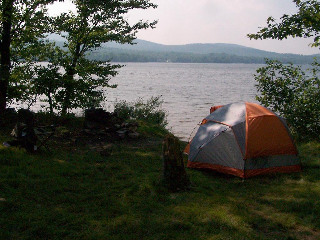
On Lake Chazy, the state owns about 800 feet of lake front as State Forest. There is three campsites here, one of them on the lake, and two along a private road / driveway.

Fireplace

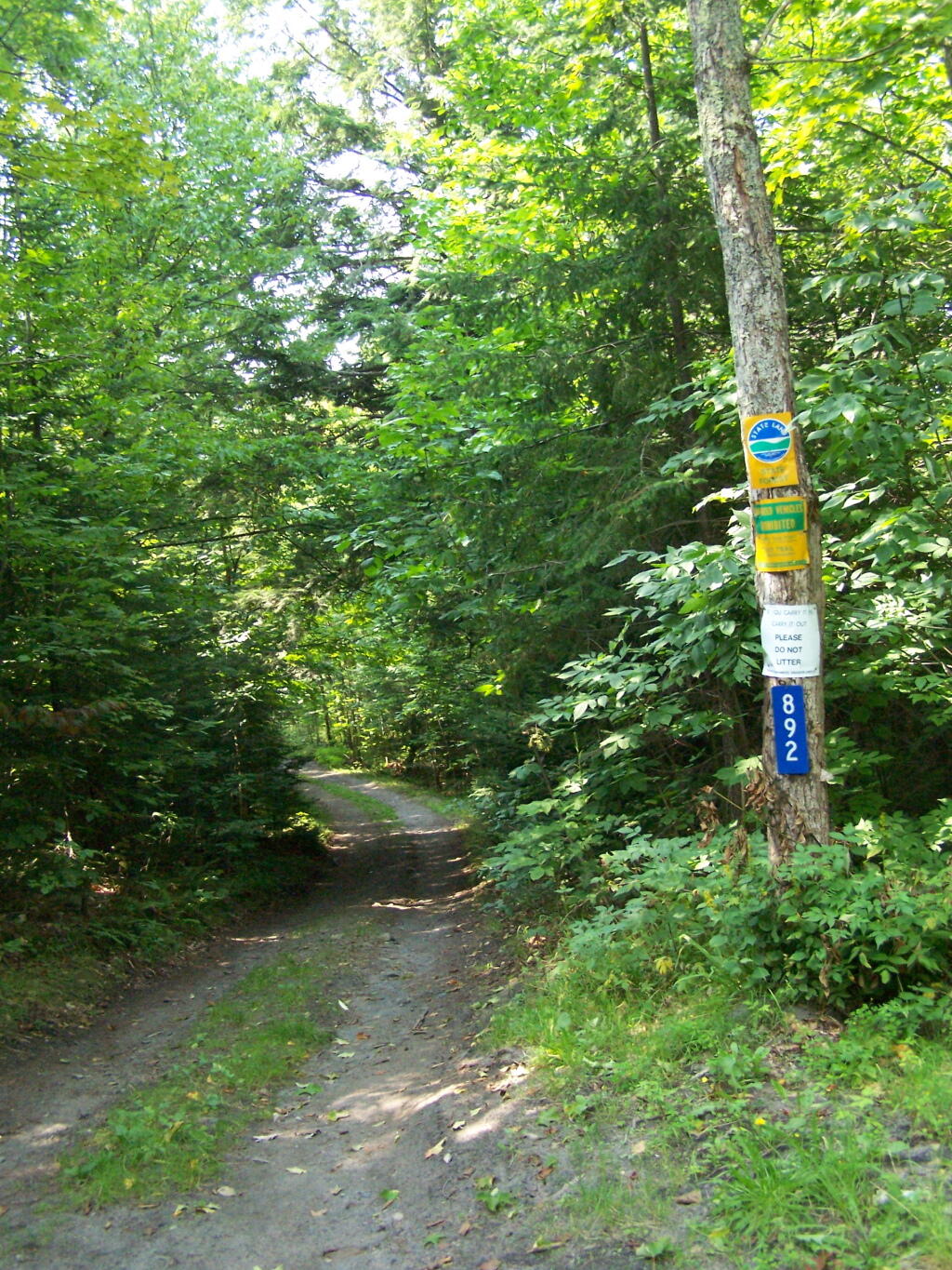
This parcel exists on the far end of Wilfred King Road, which runs for about 5 miles before you reach the end where the parking area and the private drive you take down to the parcel.

Trail on In

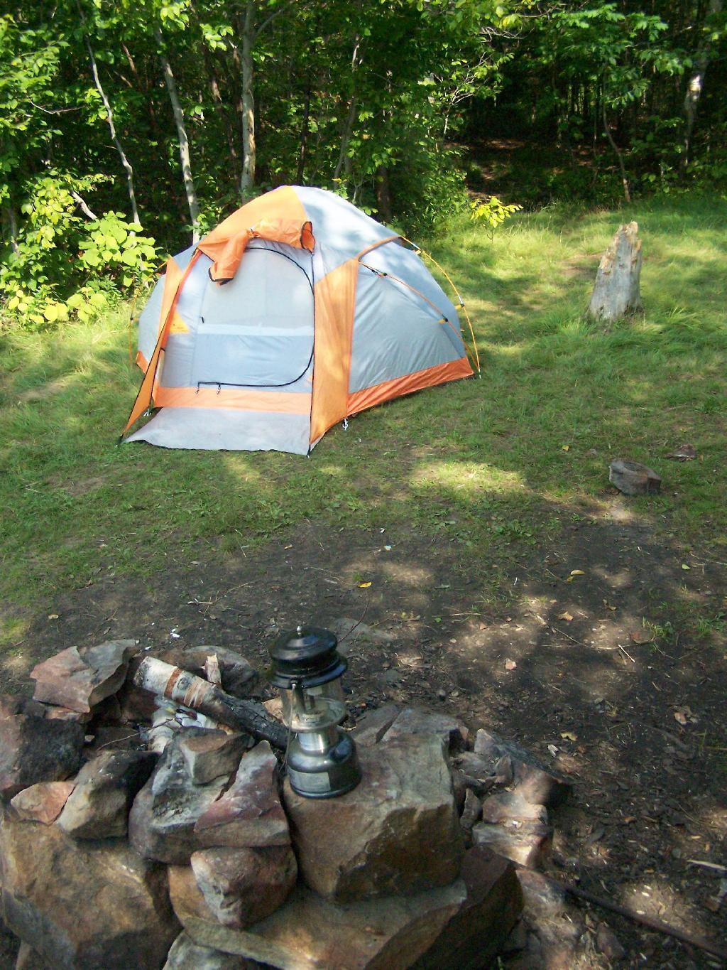
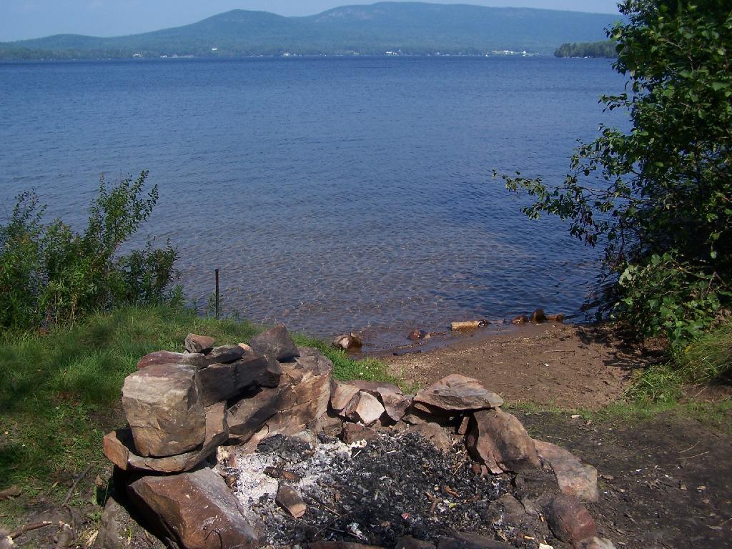
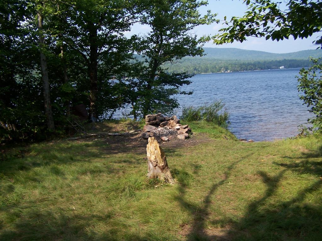
The site on the water has great views, a little fireplace, and lots of space for setting up two or three tents. It’s just as much a paradise as the photo suggests.

Gear All Packed Up

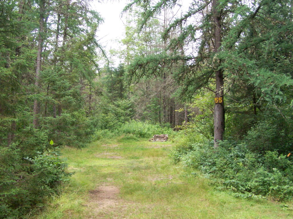
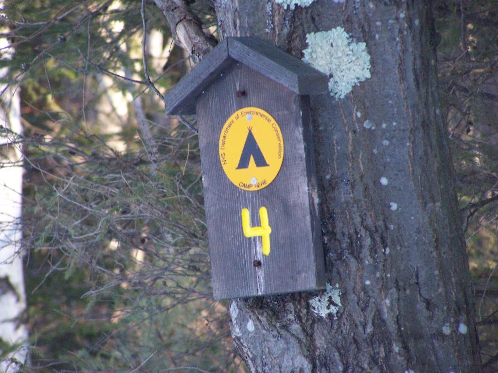
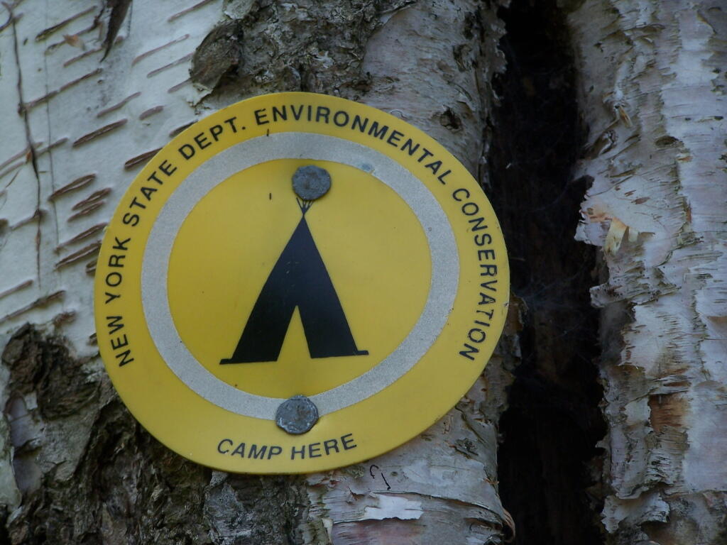
“Camp Here” marker shows that this is a designated site. When your in the Catskills or Adirondacks they tend to be fairly strict about the 150 feet rule from water and roads, unless you are a designated site.

Camp Here Marker

Down by the lake in the afternoon. Imagine a book in my hands, and you can see how relaxed I am.

Afternoon

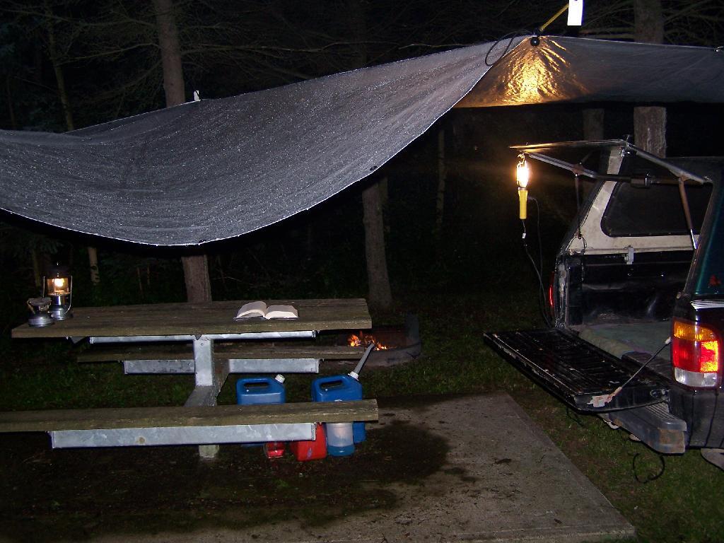
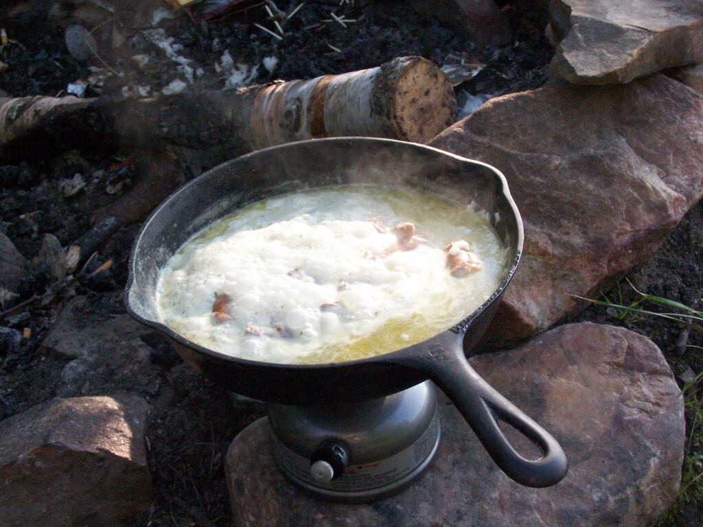
Cookng some dinner on my camp stove. Tonight I’m having sausage in Rice-a-Roni. The image makes it look like some kind of sinster stew that I’m making up, make out of small children I boiled up and mixed with grits. It’s not that for sure, and was far more delicious.

Cooking Dinner

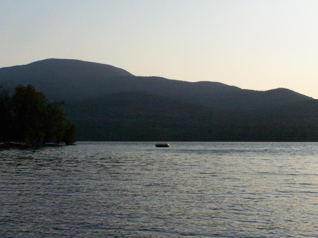
If you go out in the lake a little ways for a wade, you get a good view of Lyon Mountain. The water is shallow, and if it’s as hot as it was when I was there, truly delightful. While you will have to drive approximately 10 miles around the lake to get to the parking area to climb Lyon Mountain, but it’s beautiful with the fire tower up top.

Lyon Mountain

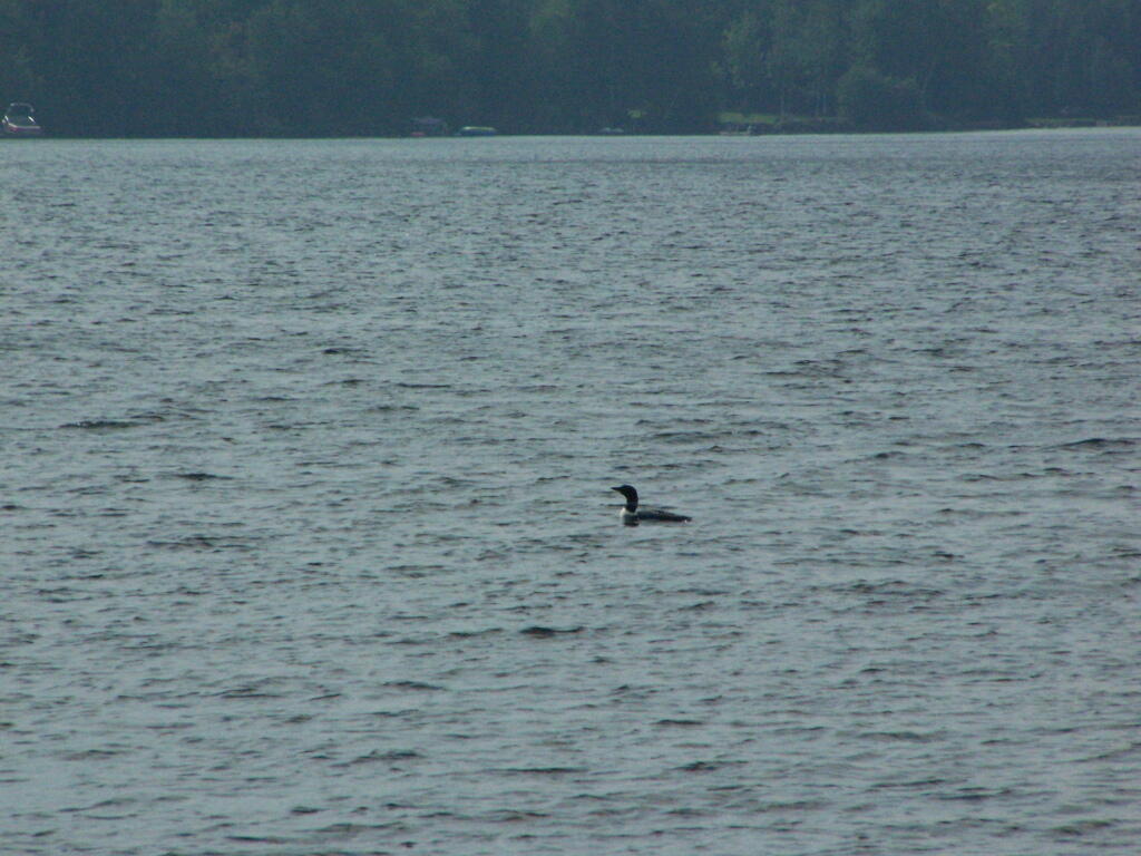
Sitting down at the lake you could hear the errie call of the loon.

Loon

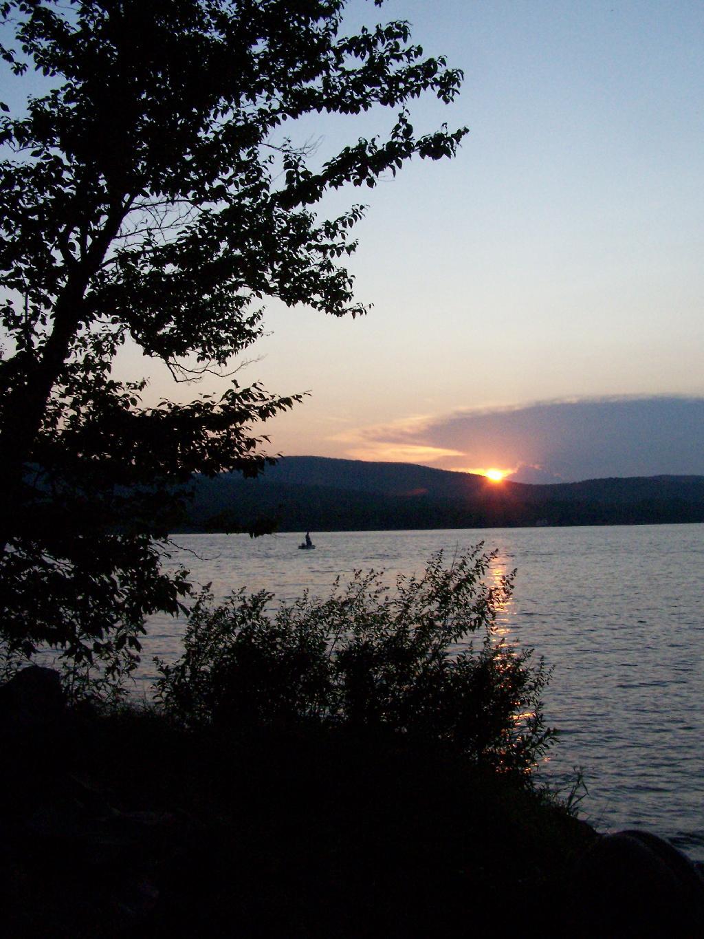
The site has good south-west views over the Lyon Mountain where the sunsets in the evening. The sunsets from here are amazing, as you watch the fire burn. The wood supply is limited, so you may consider packing in your own wood supply.

Dusk

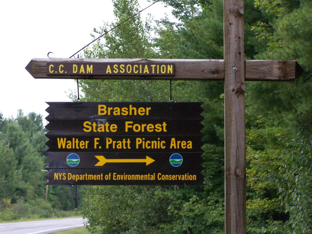
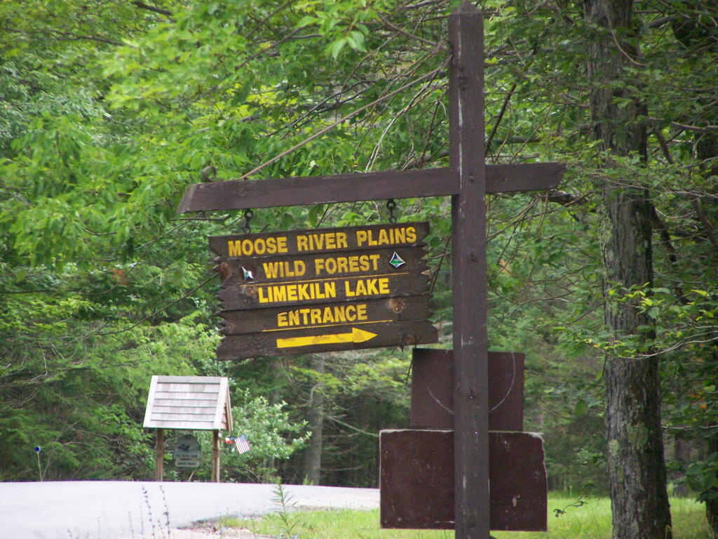
The important thing is that if you go there, make sure to drive all the way to the end of the road, past where the blacktop ends and after where the state forest starts. You will know when your there, and if you don’t see signs for the state parcel or the campsites, you haven’t driven far enough.

Also, while it’s posted against driving motor vehicles past the parking lot, as it is a private driveway, you can drive almost up to the lake front campsite if you don’t want to walk with the stuff in. That said, it’s only about a 1/4 mile hike from the parking area, so it’s fine to make multiple trips throughout the night and day like I did.

Swimming Hole

Here is the site on Google Maps. The hikers are where you park, the trail follows the driveway for a while, and then turns for about 150 feet to the campsite right on the water.


View Hikes of 2009 in a larger map