between

BASH Script for Switching Between HDMI and Laptop Screen

Handy bash script I wrote, or actually adapted, for switching between your HDMI monitor and your laptop screen — you just run this when you log-in (also opens or closes gkrellm, which doesn’t fit on the tiny laptop screen) …

#!/bin/bash

# roughly based on:
# http://unix.stackexchange.com/questions/4489/a-tool-for-automatically-applying-randr-configuration-when-external-display-is-p

# laptop screen is LVDS1
# 1080p large-screen is HDMI1

# default monitor is LVDS1
MONITOR=LVDS1

# functions to switch from LVDS1 to HDMI and vice versa,
# give 5 seconds to detect modelines for HDMI monitor or fails
# as it takes a little while for modelines to be auto detected
function ActivateHDMI {
echo "Switching to 1080p monitor, HDMI1 in 5 seconds ..."
sleep 5;
xrandr --output HDMI1 --auto --output HDMI1 --primary --output LVDS1 --off
gkrellm -g -0+25 &
MONITOR=HDMI1
}
function DeactivateHDMI {
echo "Switching to laptop screen, LVDS1 now ..."
killall gkrellm
xrandr --output LVDS1 --auto --output LVDS1 --primary --output HDMI1 --off
MONITOR=LVDS1
}

# functions to check if HDMI is connected and in use
function HDMIActive {
[ $MONITOR = "HDMI1" ]
}

function HDMIConnected {
! xrandr | grep "^HDMI1" | grep disconnected
}

# every one 1 second
# poll to see if HDMI1 is connected

while true
do
if ! HDMIActive && HDMIConnected
then
ActivateHDMI
fi

if HDMIActive && ! HDMIConnected
then
DeactivateHDMI
fi

sleep 1s
done
How NY State is Connected By Roads

Most times when you look at maps, they contain a lot more information then just roads. Most maps have parks, water bodies, road names and numbers. Lots of data to make the map useful. Yet, that distracts from the main purpose of roads — a circulatory system for the state’s commerce, to allow goods and people to move freely across the state.

As you will see, Highway Systems could almost be maps of human veins and arteries. Terrain plays a role in highway systems, though modern highways can blast their way through almost any barrier, climb any hill, cross any water body, to be fully connected. Highways go where people have historically chosen to engage in commerce.

Expressways, Primary Arteries.

These are the most traveled and most important arteries of NY State, that allow commerce to flow across state. Not too surprising, but shows how cities across our state are connected.

 Clear Morning

Various NY State Cities.

Many Upstate Regions have similar looking arterial systems. There is an urban street grid, then a twisty suburban street grid, with major arterial surrounding the cities, often only partially completed after 1973 when Nelson Rockefeller canceled most major urban highway projects due to the recession and increased concern about urban expressway impacts. The arterial system around Binghamton is particularly interesting, as a reflection of the deep alluvial valleys and rugged terrain that surrounds this relatively small city.

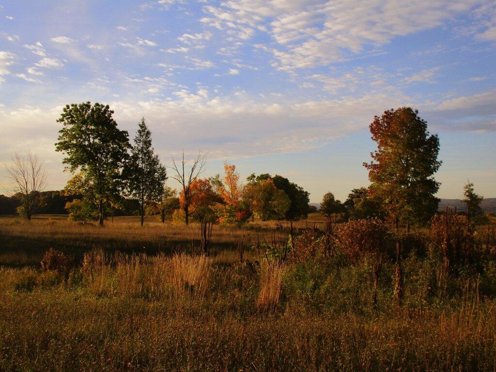
 Autumn Skies

 Dusk

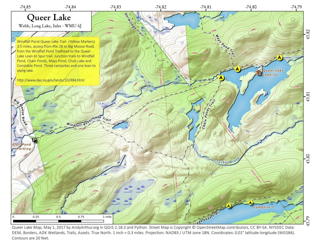
 Queer Lake

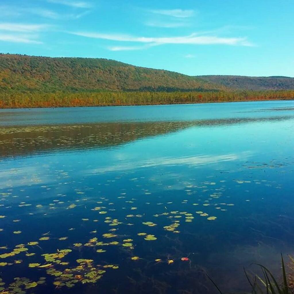
Labrador Pond

 Baneberry

Morning walk

East Canada Creek at Powley Place

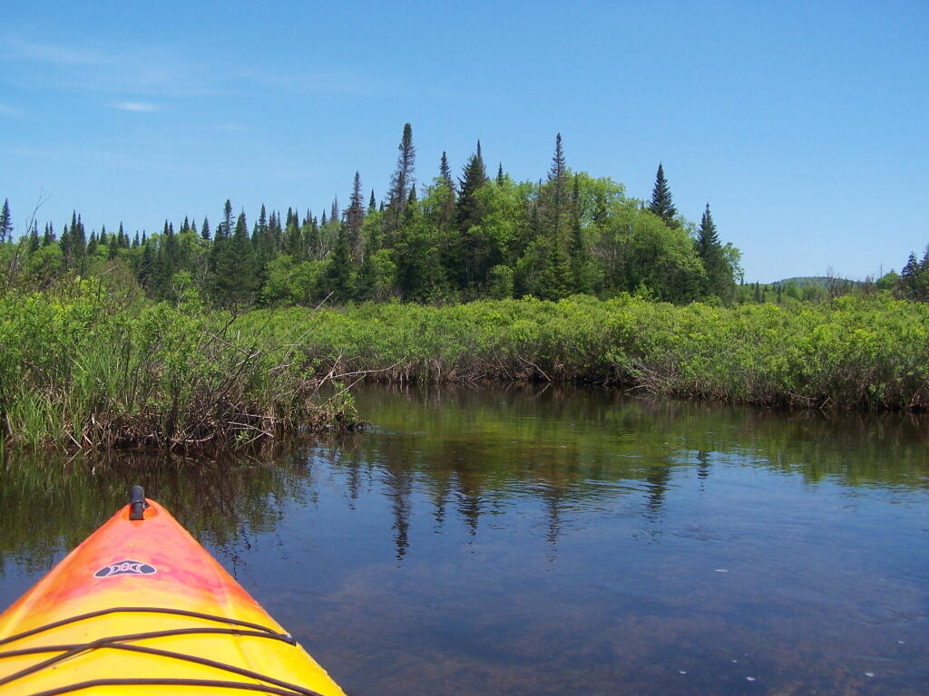
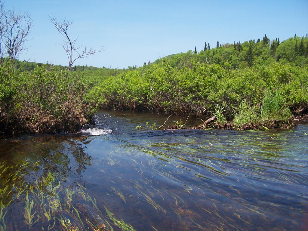
Here are two different maps of Powley Place, the portion of the East Canada Creek that is navigable for a couple of miles, bar the beaver dams you’ll either have to portage around or go right over.

Not all public restrooms are closed in New York

Hector Falls from Seneca Lake

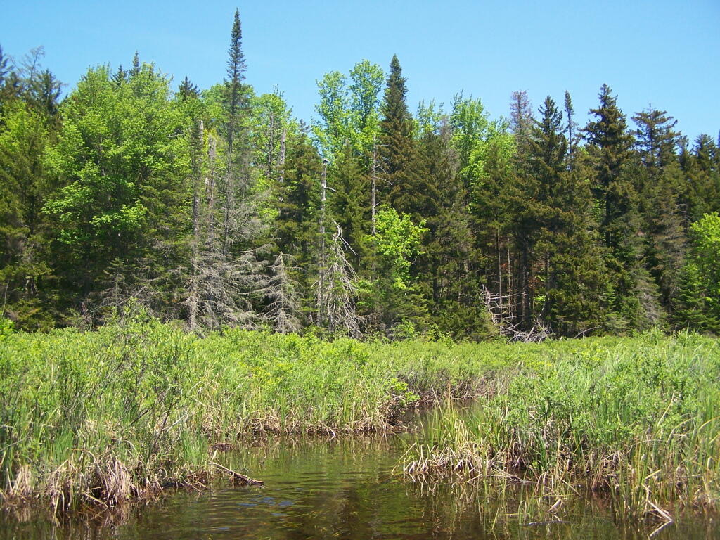
 Spruce Along East Canada Creek

Daisy

Green

Big Alderbed Mountain

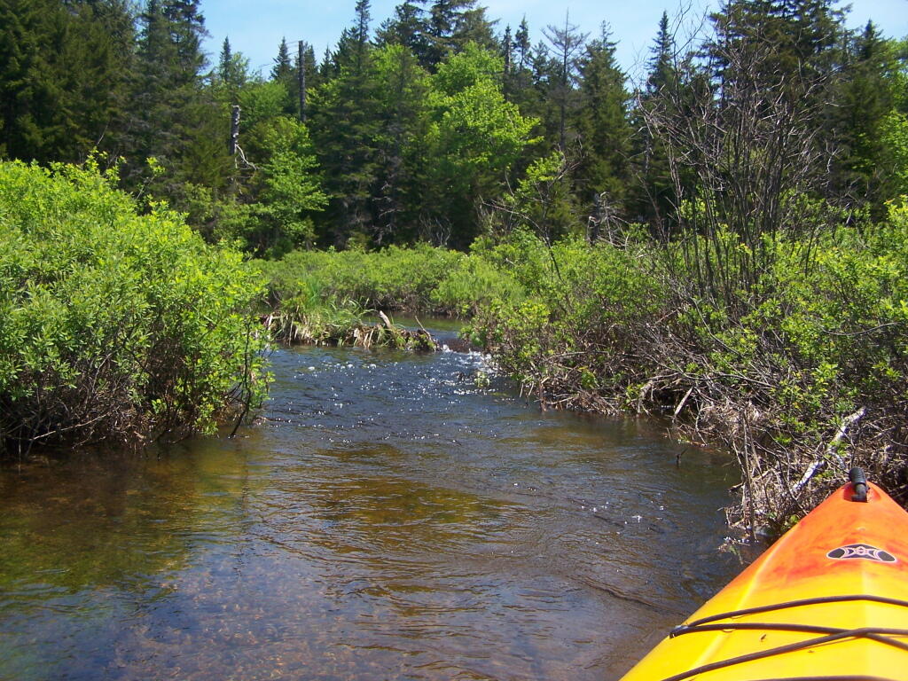
Twisting Through West Branch

Made It Over That Beaver Dam

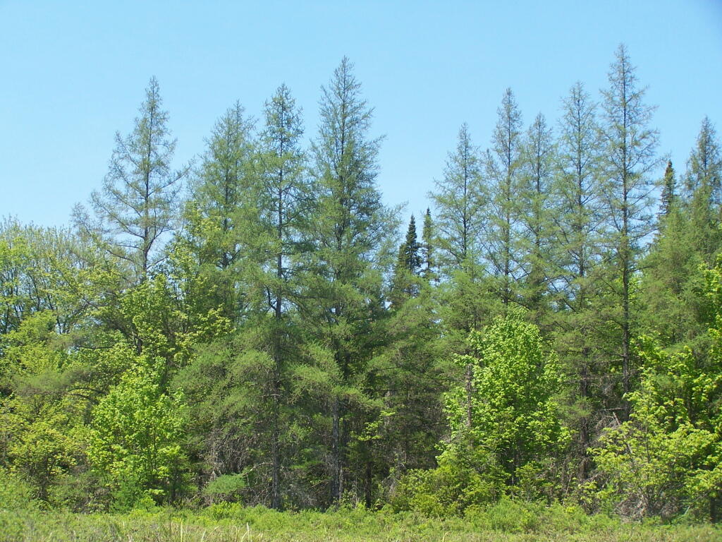
Trees Along the West Branch

Summer

Frothingham Lake

Up We Go ..

Looks Bigger Then It Appears

Feet on the Deck

Reflections

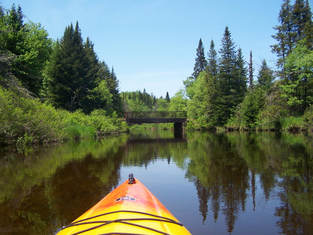
Powley Place Bridge on a Sunny Day

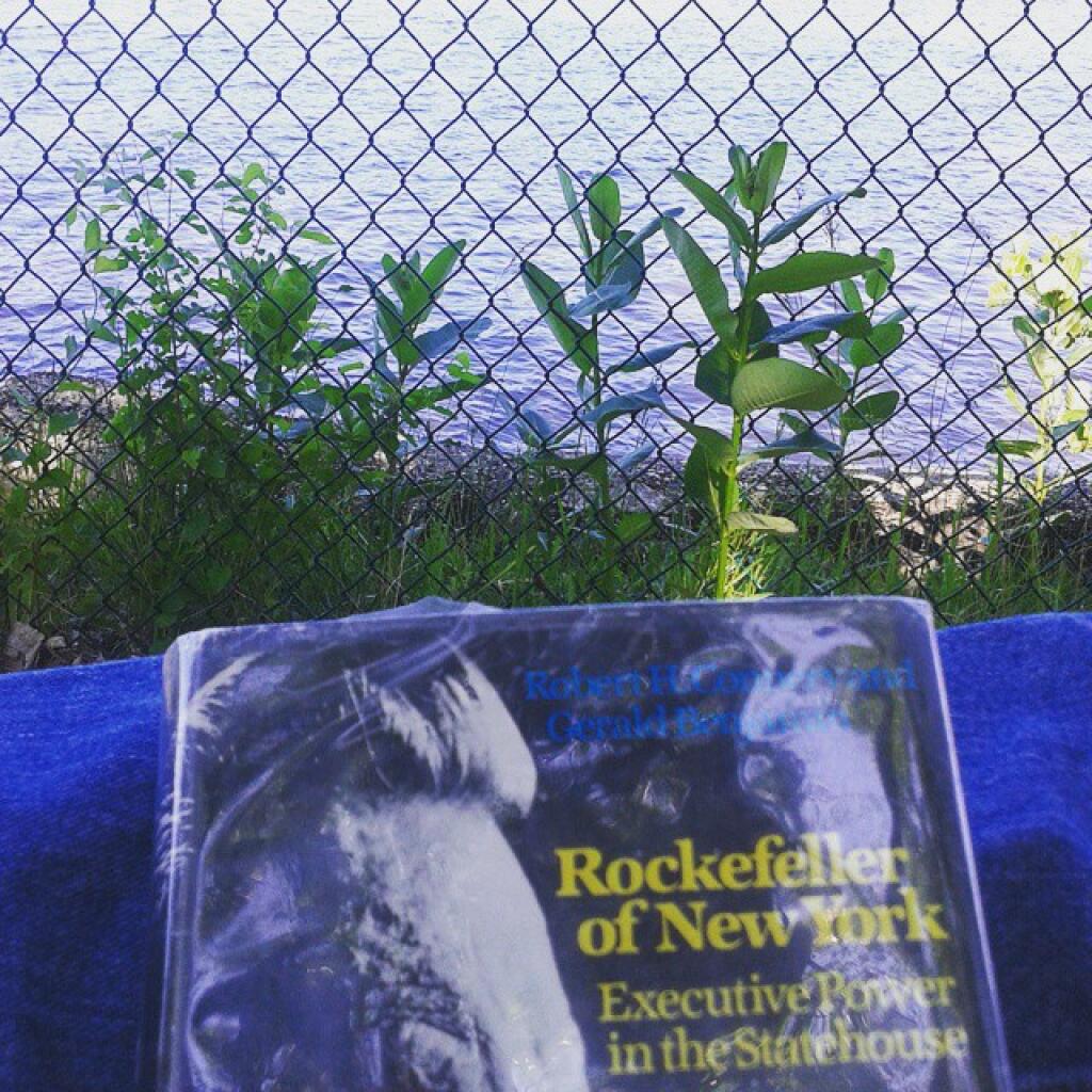
Reading than fishing later

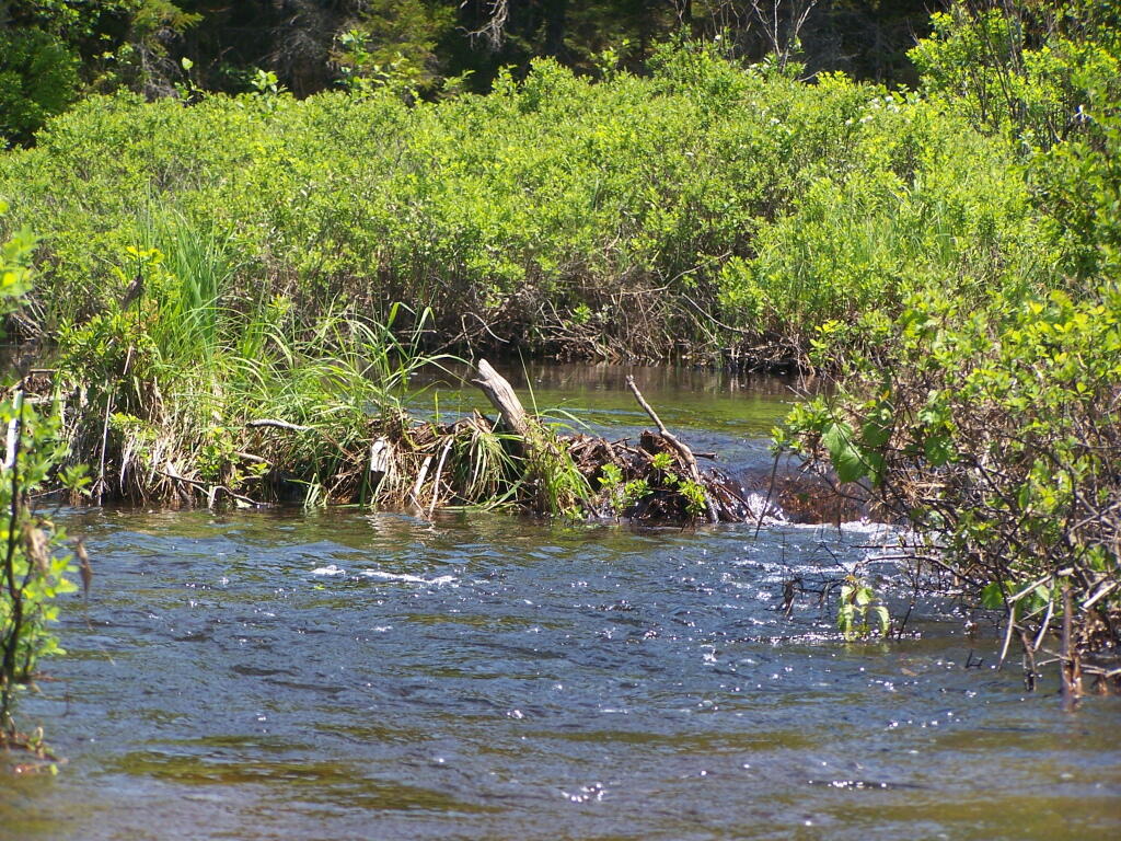
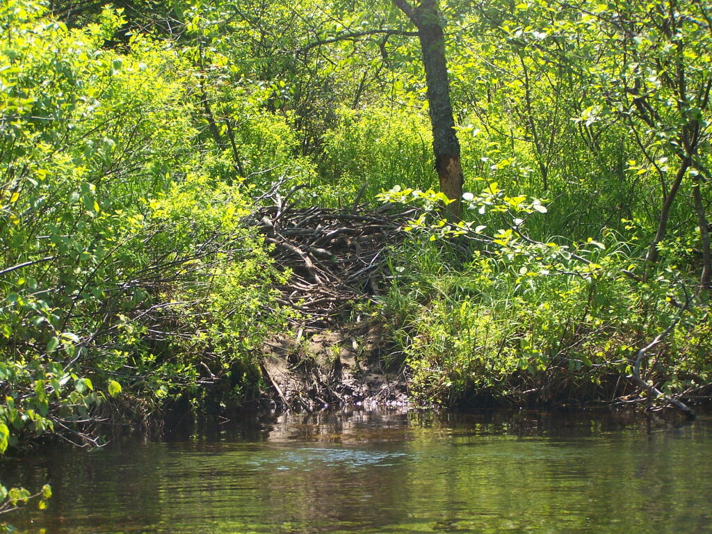
Beaver Lodge On Banks