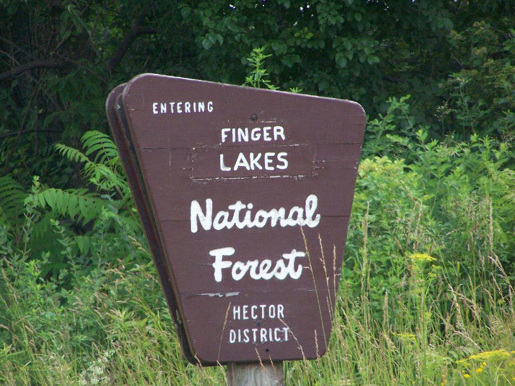
For the second day of the Finger Lakes Trip I spent a night at the Finger Lakes National Forest, a series of rather large leased public pastures interspersed with forested areas and ponds. National Forests are managed by the US Department of Agriculture, and this area in particular came under USDA jurisdiction in the 1930s when the Federal government bought out unproductive farms. This land was destroyed by the overuse of deep plowing for crops without proper management of soil erosion and fertility. It has since been well restored, thanks to controlled grazing and the creation of various wetlands.
I left around 10 AM from Balsam Pond, and headed out Route 23 to Cortland then down to Ithaca via Route 13. It was a beautiful day for sure, and there is some truly amazing country out around Pharsalia. I stopped briefly at the Cortland Walmart to buy a tarp and some windshield wipers — both badly needed as the rain would come later in the week. I also stopped down at Stewart Park in Ithaca briefly and snapped a few photos before heading west to the area of the Finger Lakes National Forest.
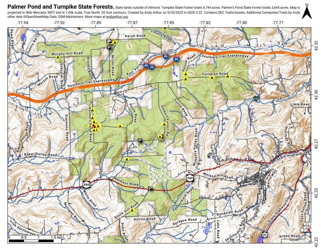
Here is the route I followed. The red line follows the route of my pickup on Sunday. The orange route is the auto tour I took on Monday. The blue point is Balsam Pond, the many red points are where I stopped to explore the National Forest.
View Finger Lakes Trip June 2009 in a larger map
Hiking along the orange trail in the northern part of the National Forest. Other trails allow horses, just not this one through the forest.
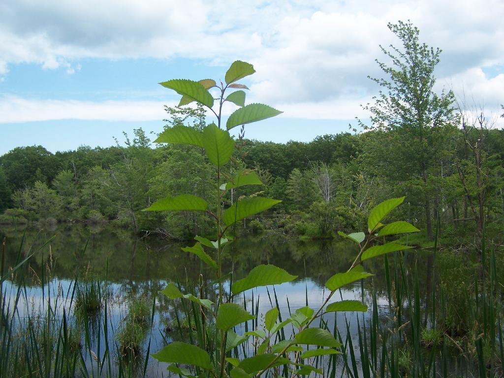
The northern portion of the Orange Trail passes this beautiful pond. There are places for tent camping along it — the USDA Forest Service is less restrict then DEC about camping, you need only be 50 feet away from water to set up a tent. They do not allow you to set tents up in cattle pasture during grazing season, for obvious reasons.
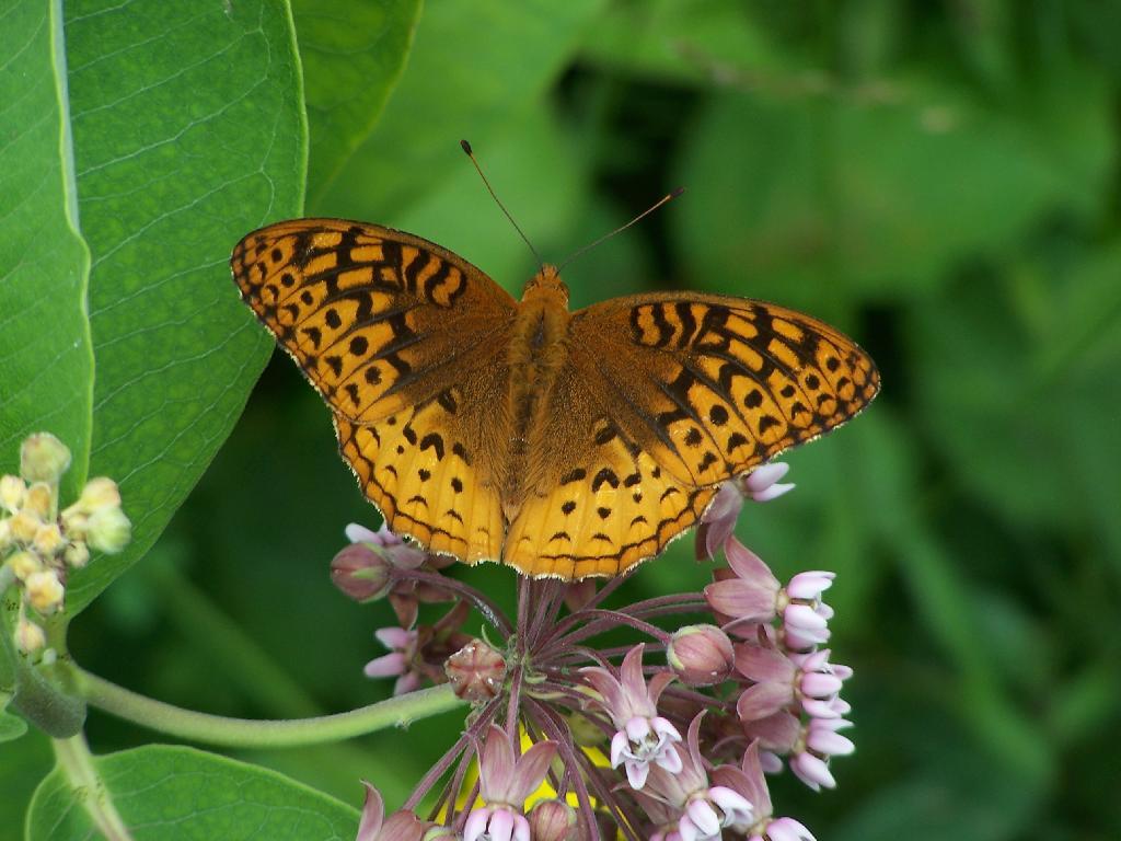
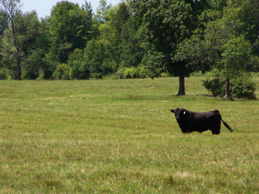
A beautiful orange butterfly was seen nearby that pond. There was an amazing amount of wild and domestic animals around when I explored things. There also was many deer, birds, and other things, to say nothing of both beeves and dairy cattle.
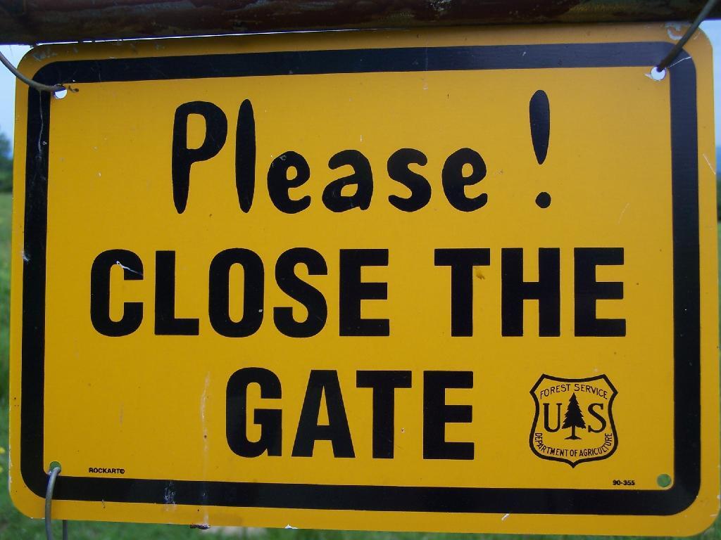
Many times the trails crossed into cattle pastures. To keep the cows from getting out, they had big reminder signs. It’s amazing that people could be so stupid to let the cows roam lose by accident. They don’t use cattle guards in this National Forest like they do out west, instead cows are fenced into pasture and off roads.
Howdy says the cow as you pass it on the trail. I think he liked my black stetson. They don’t see enough of them back east here.
Mind where you step on the trails.
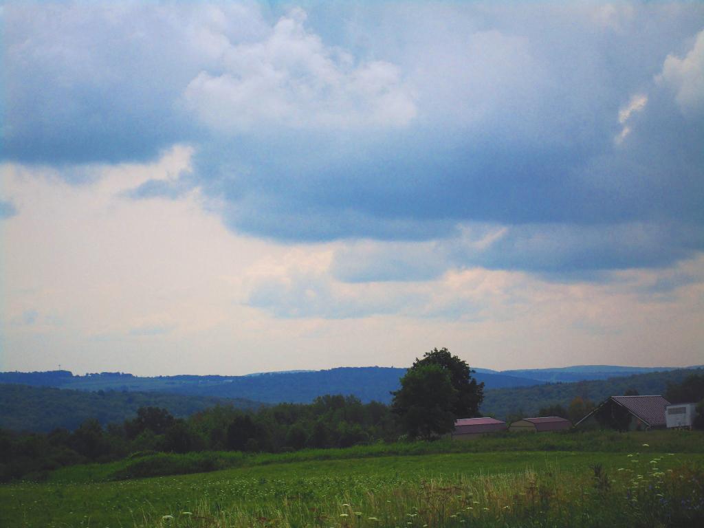
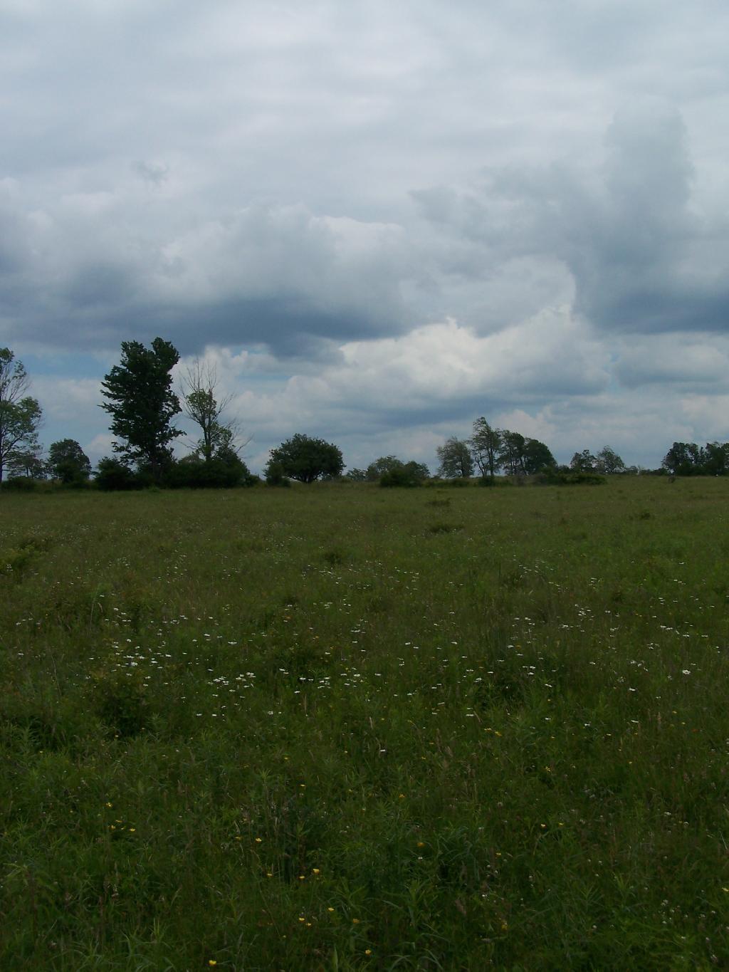
There are some pretty big pastures in this National Forest.
Later in the day, it started to rain.
It really opened up and was raining so hard it was tricky to drive the dirt truck trails I was unfaimiliar with. That kind of sucked. Knowing that I wouldn’t be able to easily set up a tent in this heavy rain, that lasted most of the evening, and unable to find the road-side sites for camping (which I found in the morning).
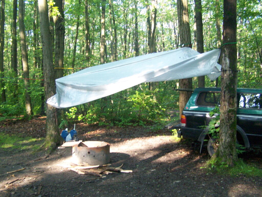
I decided to stay at the Blueberry Patch primative campground in the National Forest, which costs $10 a night, via the honor system. They also have a group area, where groups can stay for $10 a night + 50 cents a person over 20 people. Quite neat. I paid, in part because the basic facilities (table/firepit/outhouses/nice tent platforms), where very well maintained.
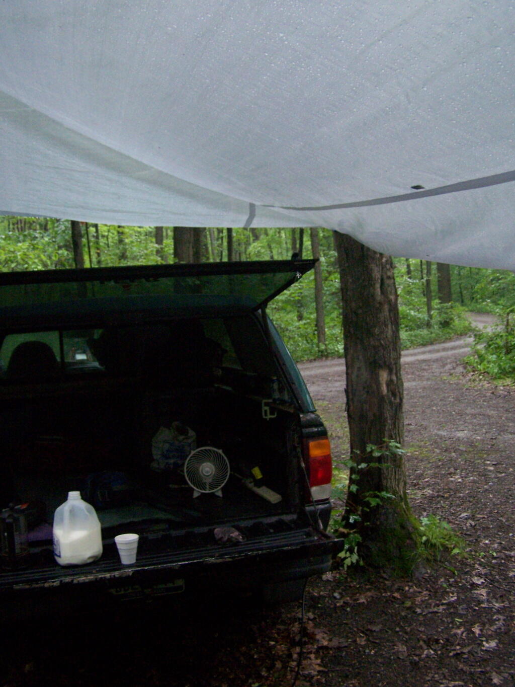
Once I got settled in, I got the tarp hung up over the back of my truck.
And made some coffee mixed with Jack Daniels, and poured it into a styrofoam cup. It was real good and strong. It was good, dulled the pain and missery of the rain, and kept me up half the night.
In the morning I drove around the National Forest to just check out some more of the lands and the beautiful pastures. This was my route around the area. Red was the drive on Sunday, Monday is in Orange. Free Campsites are marked with a tent, the $10 a night Blueberry Patch campground has a picnic icon, and the part of the orange trail I hiked along is marked with a blue line.
View Finger Lakes Trip June 2009 in a larger map
Here is a map of the entire parcel from the Federal Government.
