Photo: Towards the Thruway
Download a JPEG Image of the Towards the Thruway.
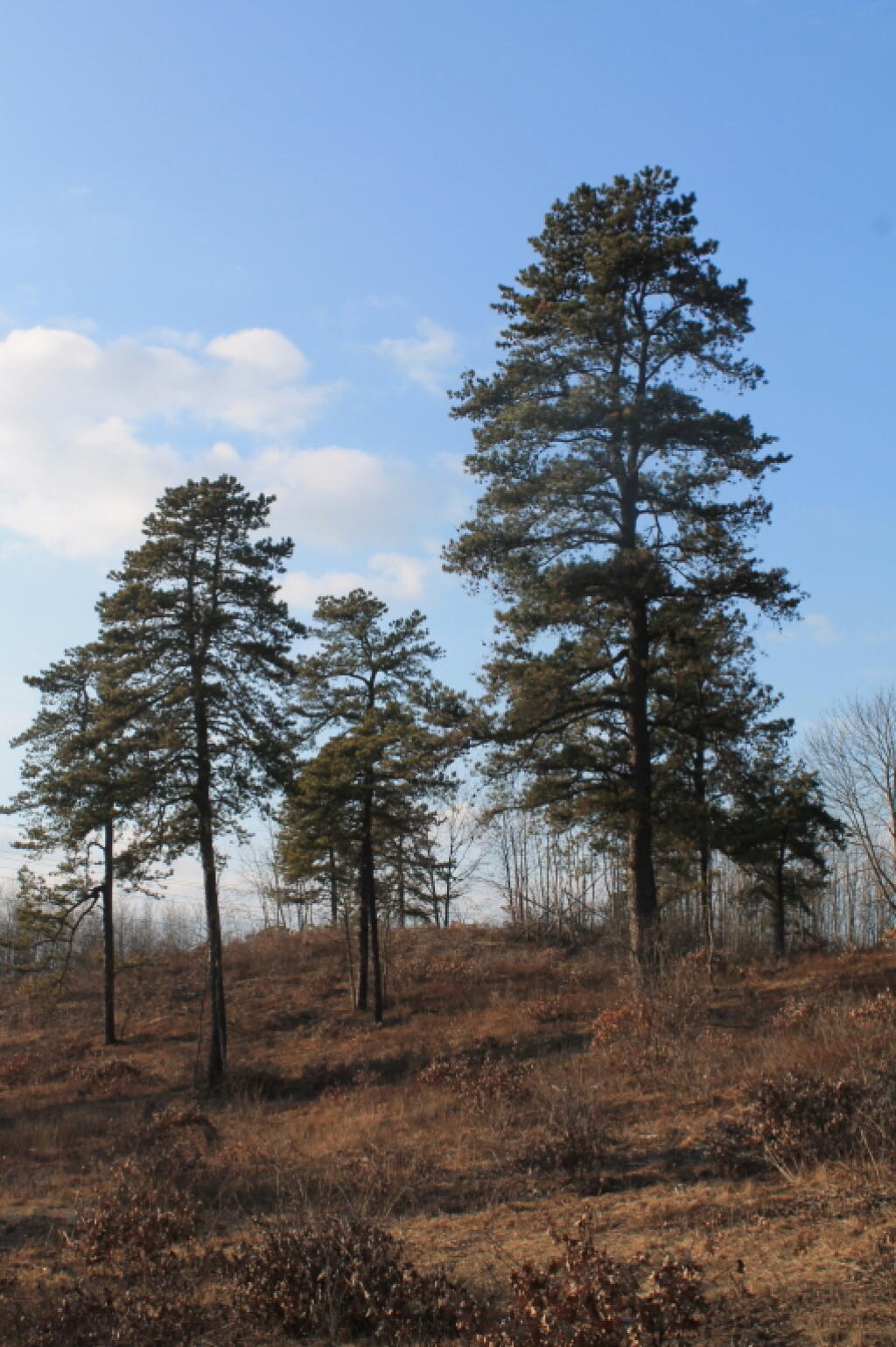
Towards the Thruway ...
Taken on Saturday February 11, 2012 at Albany Pine Bush.
More about Albany Pine Bush...
The Albany Pine Bush, referred to locally as the Pine Bush, is one of the largest of the 20 inland pine barrens in the world, and is centrally located in New York's Capital District within Albany and Schenectady counties, between the cities of Albany and Schenectady. The Albany Pine Bush was formed thousands of years ago, following the drainage of Glacial Lake Albany.
The Albany Pine Bush is the sole remaining undeveloped portion of a pine barrens that once covered over 40 square miles (100 km2), and is "one of the best remaining examples of an inland pine barrens ecosystem in the world." Today it includes all parcels of the Albany Pine Bush Preserve (a state nature preserve spanning 3,200 acres (1,300 ha)), the properties that connect these protected parcels, and some of the surrounding areas that abut the preserve. The 135-acre (55 ha) Woodlawn Preserve and surrounding areas in Schenectady County are the western sections of the Pine Bush and are separated from the Albany Pine Bush Preserve in Albany County.
The Pine Bush has been a historical, cultural, and environmental asset to the Capital District and Hudson Valley regions of New York. Pioneers moving west passed through the pine barrens, which later became the site of the first passenger railroad in the United States. The Pine Bush is also home to the Karner Blue butterfly, an endangered species first identified by Vladimir Nabokov in 1944 using a type specimen from the Pine Bush.
Aerial Photos
1952 Albany Pine Bush
Karner East Barriens
Washington Avenue Extension (1973 vs. 2018)
Maps and Interactives
Rensslear Lake 1952
Rapp Road Historic District – Year of Construction
Rapp Road Historic District – 1952 vs 2018
Old Karner Road vs Today
NYS DOT Traffic Counts – Albany Pine Bush Area
Northwest Branch of Rensselaer Lake
New vs Old Karner Road
More then Half a Million People within 15 miles of Albany Pine Bush
Infrared Color – Madison Avenue Barrens
Great Dune / Willow Street
East Barriens After a Recent Burn in 2021
Albany Pine Bush – Year of Forest Cuts, post-1986
Albany Pine Bush Vernal Pool
Albany Pine Bush Preserve Trails
Albany Pine Bush Aerial Photos – 2021 vs 1952
Albany Pine Bush 1893
Sunset Throughout the Year from Overlook Dune
Pine Bush East Barrens Soil Map
Albany Pine Bush Population Changes – 2000 through 2020
White Pines Along the Kiakout Are More then 100 Foot
Hunger And Kiakout Kill
Albany Pine Bush Trails Today vs. Historical Sand Roads
Albany Pine Bush Study Area 1893
Albany Pine Bush 1952 High Resolution
LiDAR – Crossgates Maul And Blueberry Hill
... photos, maps and other content from from Albany Pine Bush.