Back up at five o’clock though I missed having that blast of heat from the propane heater waking up but the coffee was a lot less fiddly then the my fairly new propane stove which was not working well most of the weekend after propane gelled or dirt got into regulator. It was working good until I ran out of propane on Monday, in the cold wet snow. But it turned out to be a pretty nice day once it warmed up. Much more story to tell.
Good morning! Happy Tuesday. Partly sunny and 29 degrees in Albany, NY. There is a west breeze at 10 mph. 🍃. There is a dusting of snow on the ground. ☃ Things will start to thaw out at around 10 am. 🌡️
Rode my bike to work today, 🚲 it really wasn’t a particularly cold morning but then again I’m used to the cold and I’ve been keeping my heat low in my apartment. Why heat things really warm, when I have the heated blanket, plus a hot breakfast and shower to start out the day? 🛀 I hate wasting energy, says the boy with the big jacked up truck. ♨️ And I like the cold in the morning, it wakes you up when you hop out of bed. I think this was the first night in many weeks I’ve slept all night without getting up to run to the toilet. 🚽 It helped that yesterday I had a light breakfast, due to running out of propane in camp, ☕ which left me with just enough heat and stove output to reheat some coffee plus a five hour energy shot and some of greek yogurt. Today’s breakfast was a bit more hardy, with eggs, spinach, onions, mushrooms. 👨🍳 Didn’t make bread last night but will tonight, along with soaking beans for soup. 🍞 🍲
Today will have snow showers likely, mainly after 4pm. Otherwise, partly sunny for the balance of the day 🌦, with a high of 35 degrees at 11am. Nine degrees below normal, which is similar to a typical day around December 26th. West wind 10 to 17 mph, with gusts as high as 32 mph. Chance of precipitation is 60%. Total daytime snow accumulation of less than a half inch possible. A year ago, we had partly cloudy skies in the morning with some clearing in the afternoon. The high last year was 50 degrees. The record high of 68 was set in 1990. 6.0 inches of snow fell back in 1985.❄
Solar noon 🌞 is at 11:44 am with sun having an altitude of 26.1° from the due south horizon (-44.7° vs. 6/21). A six foot person will cast a 12.3 foot shadow today compared to 2.2 feet on the first day of summer. The golden hour 🏅 starts at 3:41 pm with the sun in the southwest (234°). 📸 The sunset is in the west-southwest (241°) with the sun dropping below the horizon at 4:25 pm after setting for 3 minutes and 19 seconds with dusk around 4:55 pm, which is 27 seconds earlier than yesterday. 🌇 The best time to look at the stars is after 5:31 pm. At sunset, look for snow 🌨 and temperatures around 33 degrees. The wind chill around sunset will be 22. ☃️ Breezy, 17 mph breeze ⛅ from the west-northwest with gusts up to 32mph. Today will have 9 hours and 24 minutes of daytime, a decrease of one minute and 34 seconds over yesterday.
Tonight will have a chance of snow showers, mainly before 9pm. Mostly cloudy, then gradually becoming mostly clear 🌧, with a low of 24 degrees at 5am. Four degrees below normal, which is similar to a typical night around December 10th. Maximum wind chill around 18 at 4am; Northwest wind 6 to 14 mph, with gusts as high as 29 mph. Chance of precipitation is 30%. New snow accumulation of less than a half inch possible. In 2022, we had mostly clear skies in the evening, which became mostly clear by the early hours of the morning. It got down to 29 degrees. The record low of 3 occurred back in 1875.
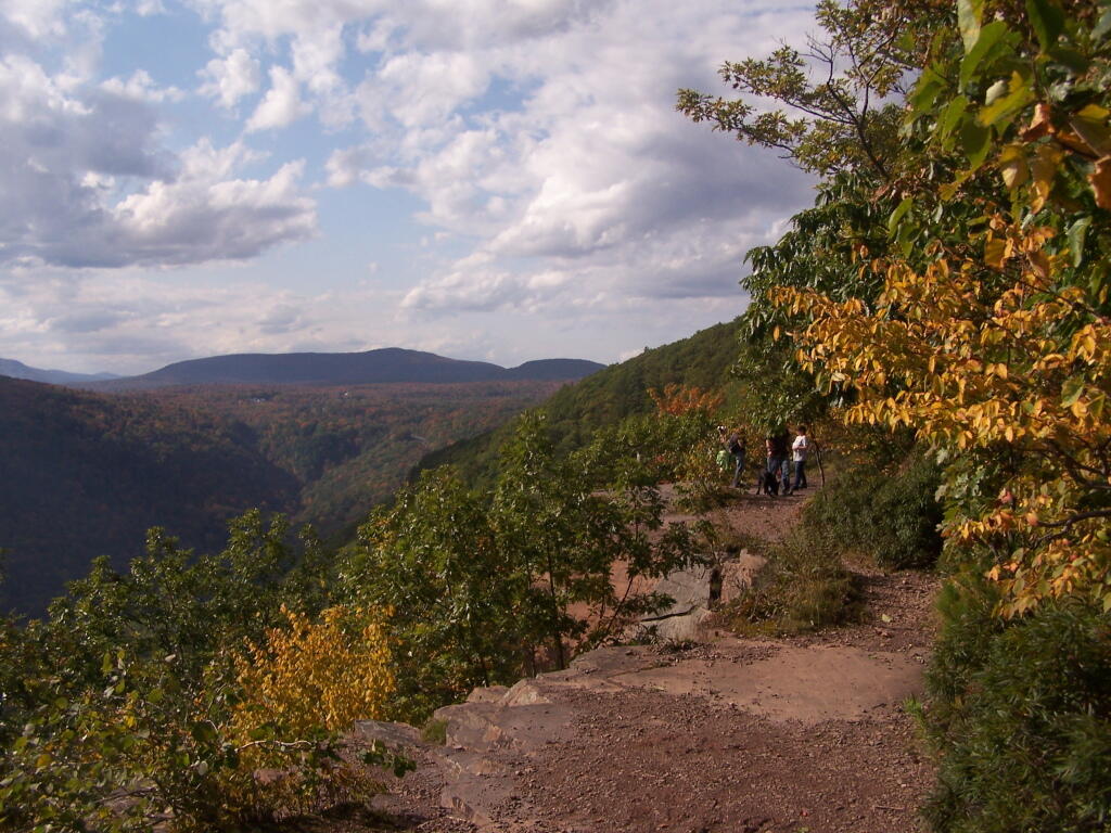
Things were going so well on my trip until they weren’t. Friday was completely on schedule, having woken at 5 am and hitting the road by 7:30. 🛻 Got gas in Glenmont, traffic was super light on 787 and ultimately the Northway. ⛽ I got groceries and needed supplies at Walmart in Queensbury, which I was shocked how empty it was for Black Friday. 🛒 Hit the trail to Prospect Mountain from Smith Street in Lake George, by ten o’clock, at that hour wasn’t crowded.
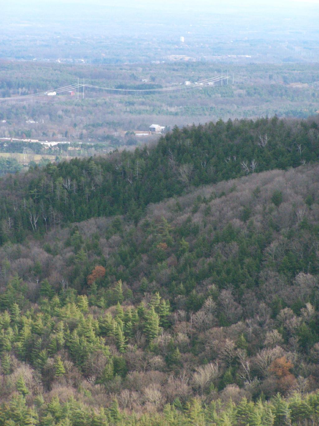
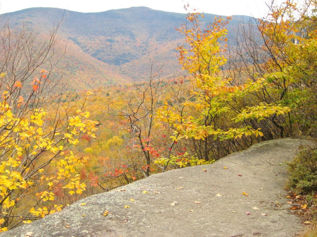
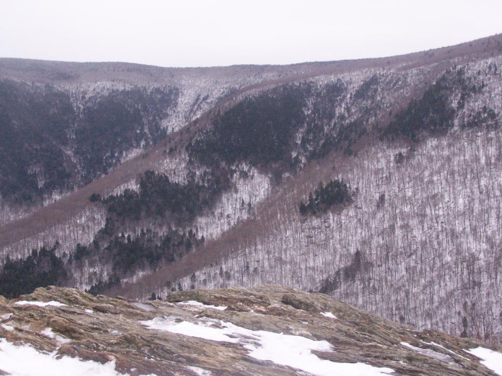
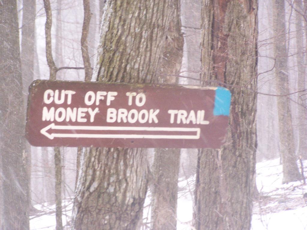
Prospect Mountain ⛰ was ho hum, I don’t think it would be worth it to pay to drive the auto road in the summer or for that matter to hike it again. The views of Lake George and surrounding country were rather ordinary compared to other nearby hikes like Buck Mountain, Tongue Mountain or Cat Mountain. 📸 Granted by the time I got to the summit it was fairly cloudy ⛅ and rather bitterly cold. ❄ Just gusty 🌬️ with the mercury dropping.
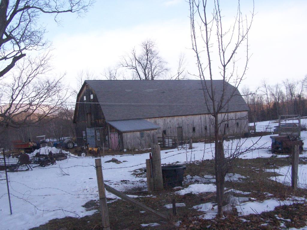
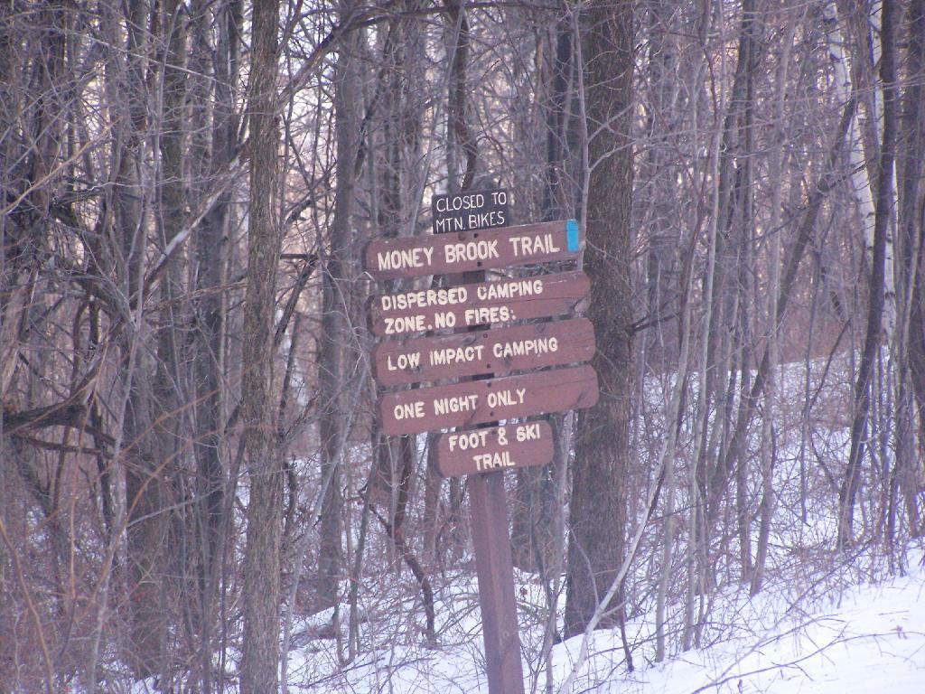
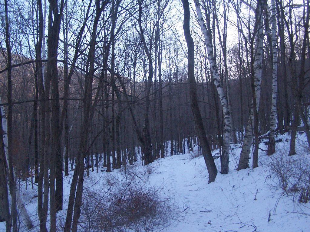
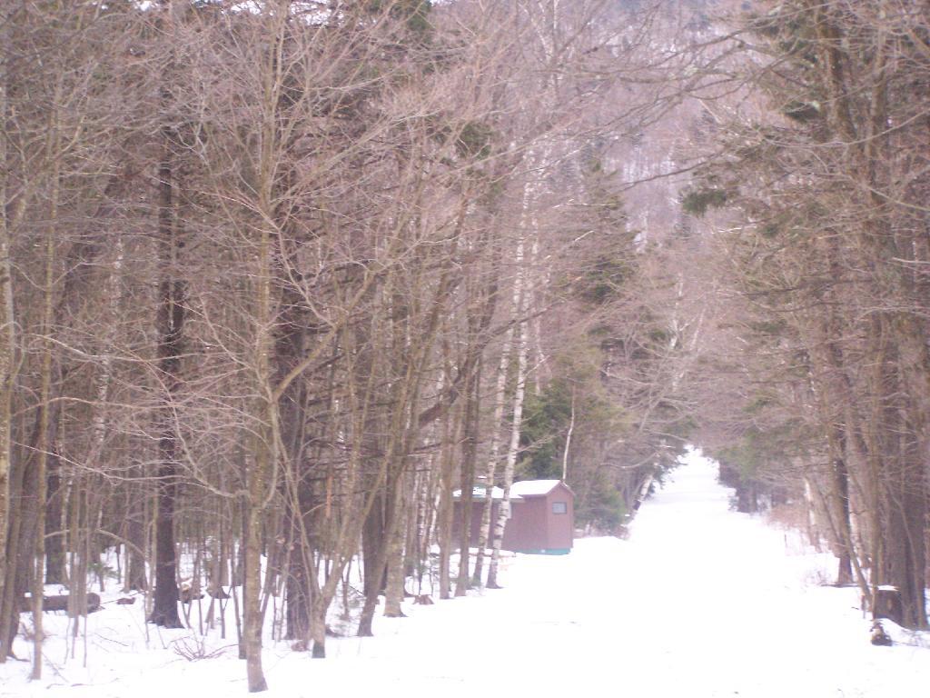
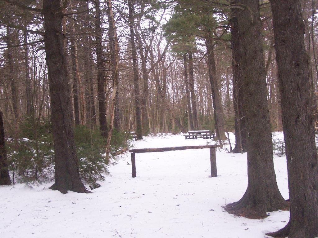
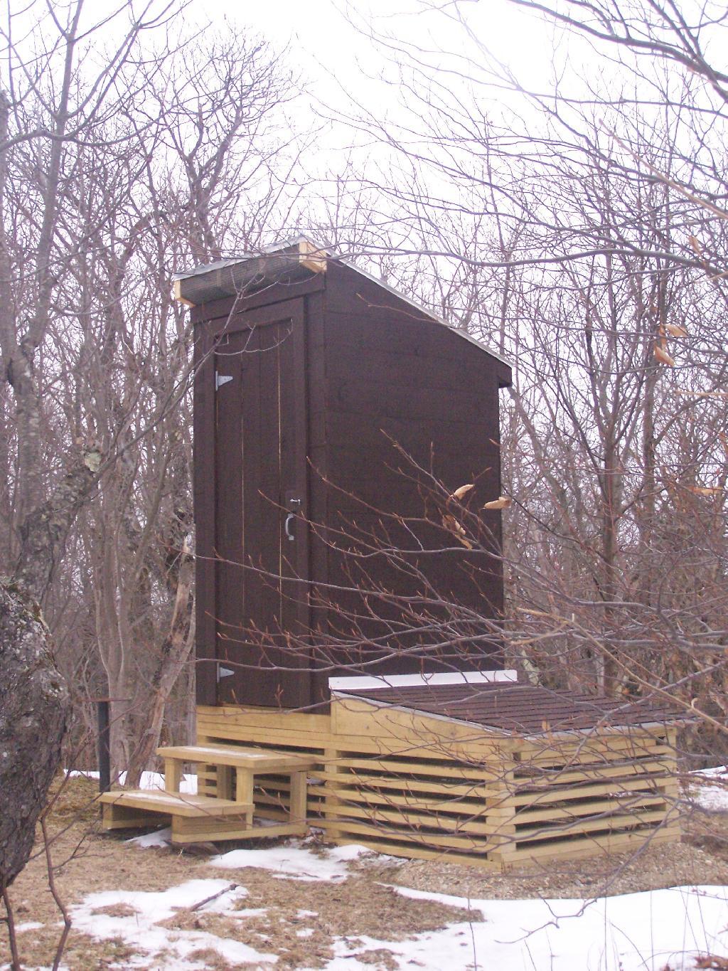
I was back to my truck by two, and was setting up camp by three. ⛺ I checked out both campsites five and seven, settled on the site closer to Fox Lair as better protected from the wind and a shorter down hill driveway should we had gotten more snow then expected on Sunday night. Plus better sheltered from the wind, though less solar power. Neither site had cell service 📶 which is kind of a blessing as I needed some off the grid time without the constant social media and news cycle. 🔕 It’s tough to turn off social media when home though I have pings always muted from Facebook. Too much temptation.
Gathered firewood 🪵🪓 and got the truck unpacked and heater going. All was good the campsite still had a ton of firewood from the hunters who last camped here. ♨ Then I try to start my camp stove and it won’t start. 🍳 Damn, it’s cold out and I want a hot delicious meal 🍴. Played with the regulator on the stove for an hour, trying to clean off the ends and and warm it up to try to free the dirt and condensate in the regulator, getting the stove to work a bit but not well. Started to reheat leftovers from my freezer at home plus added onions and spinach but it wasn’t working well as the stove output was limited. 🔥 Got the fire started, let it burn down to coals, finished cooking dinner over the fire, then cooked some cranberries down with some stevia for sweetness and walnuts. 🍒
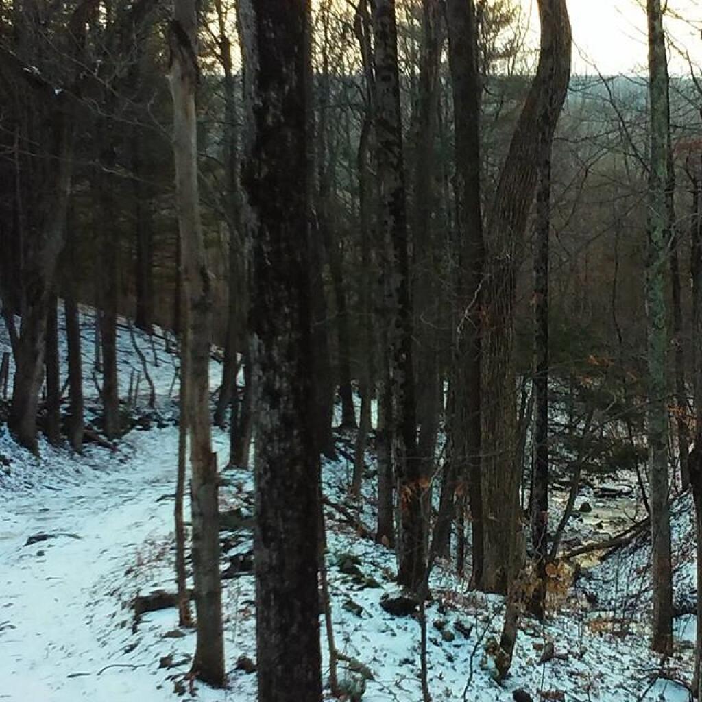
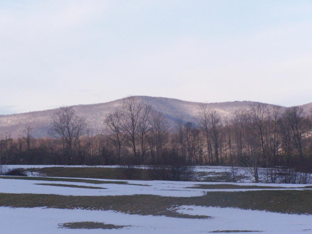
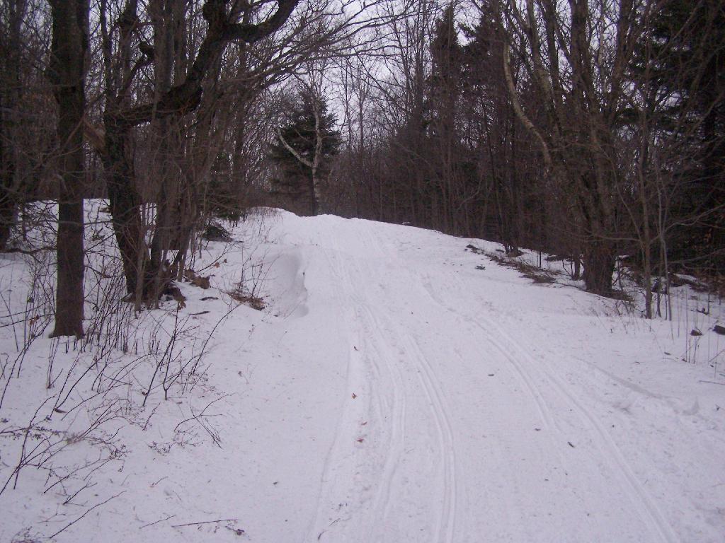
Friday night was a cold night in the single digits. ❄ Even with the fire roaring 🔥and my propane heater on it was cold. The night was cold 🛏 in the truck, my toes were chilly by morning. Without the stove working properly, morning was kind of miserable until I got the fire going, the coffee ☕ brewing followed by a delicious 😋 campfire breakfast of eggs 🥚 and all the usual fixings like onions and spinach. 🍳 Mostly hung around camp on Saturday besides a brief walk 🚶 along Old Route 8. Saturday was also a pretty cold day for sure, mostly spent reading, listening to podcasts and hanging out over the heater. ♨️ That’s why despite only being my six night camping, but Monday morning in the cold wet snow, I ran out of propane. It’s fine though, it helped me get an early start on Monday so I had the balance of the day to hike at Hudson River Special Area.
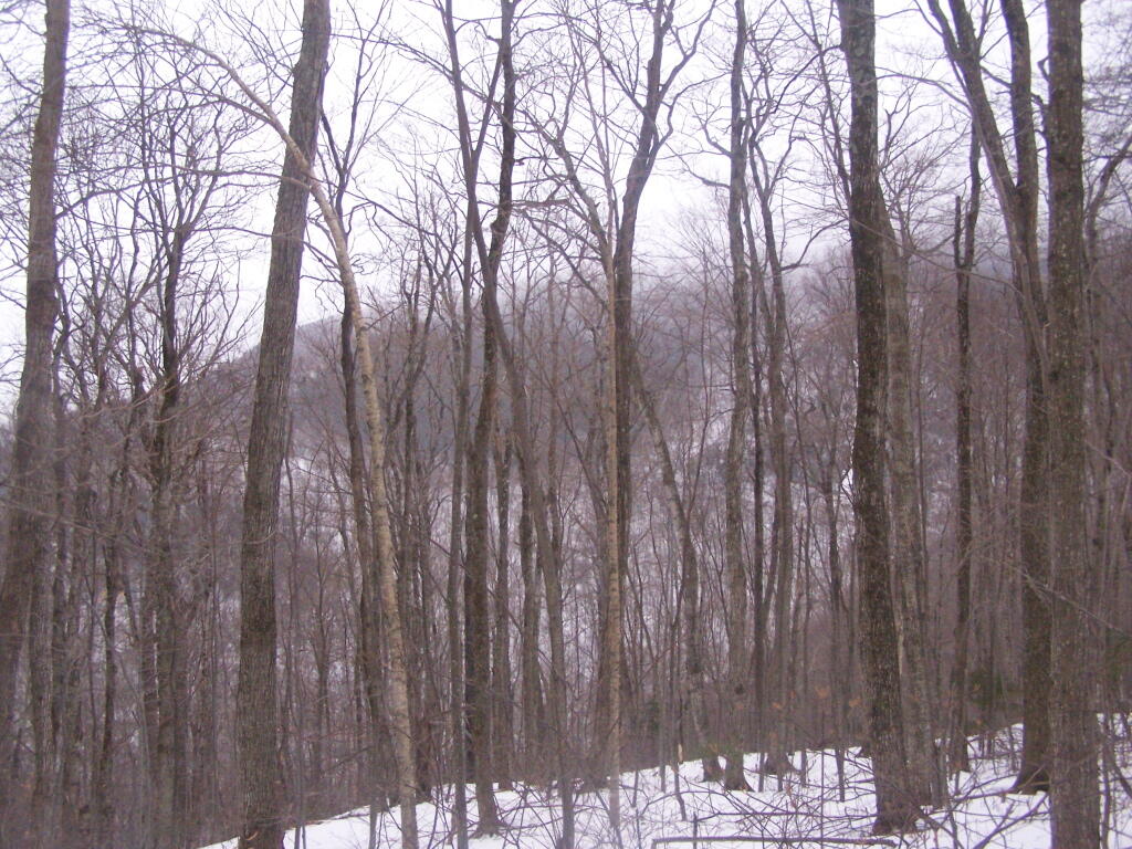
Sunday was a bit nicer, but still cold. ❄️ Did more reading, 📚 hiked around Fox Lair for a while 🦊 , listening to podcasts 📻 and just hanging around camp. The days are pretty short, it was getting up early before dawn, ☕ enjoying my coffee — which was good as I had the stove working on Sunday so it cooked up quickly and then having oatmeal pancakes. More sun and warmer on Sunday, though by evening it started to cloud up and by 7 PM started to sleet, followed by some rain and snow, at which point I headed into my truck for the night. 🛌 Cooked up onions and sweet potato on the stove, then later on finished off the cranberries with bananas and stevia. Listened to many more hours of podcasts. 📻 No radio this time, as my radio is broke and normally I just use my phone for streaming. But it was good to be away from the news cycle for a few hours. 🤫
Monday was just cold and wet. 🌧 The sleet, snow, and rain mix just made everything wet and sloppy to start out the morning. ☕ To make matters worse I ran out of propane while I was heating up the coffee, though I got one cup in along with a five hour energy shot and some Greek yogurt with some blueberries I added, 🥄 and I was good. Drove down to Hadley, and decided to spend the balance of the day exploring the Hudson River Special Area, which had some nice views of the Hudson River 🏞 along with Bear Slide Falls. As the day progressed, it warmed and sun came out. 😎 Hiked back along River Road and Gay Pond Road. Got back to my truck around 2 PM, and headed home through Corinth and Saratoga. Got home and unpacked around 3:30, went to the laundromat in Glenmont, got groceries, and washed my truck. Headed to bed. 🏪 The Glenmont laundromat isn’t as bad as the reviews suggest but more pricey then Delmar laundromat. 💰 But it is nice that you can swing to Walmart or the car wash while your clothes are doing their thing. If I didn’t worry about the road salt eating the rest of my truck up, 🚿 I’d probably have just done the usual Four Corners Laundromat.
This weekend looks like it would for the first weekend of December. 🎄 Saturday, after the rain pushes out, partly sunny, with a high near 43. It’s good, maybe that will give me a chance to fix the relay that was malfunctioning that controls the CB radio and dash cam on my truck. It’s clicking on and off. Started doing that on the way to Glenmont, ended up stopping and slicing the feed wire until I can find the lose connection, less I burn out the relay. It’s not a big expensive relay, but still I didn’t want to have to order another one and wire it all up. 📻 Sunday, a chance of rain. Mostly cloudy, with a high near 41. Chance of precipitation is 30%. Doesn’t seem like a wash out, most of the rain will be on Saturday. Typical average high for the weekend is 43 degrees.
The next trip is not until the days leading up to Christmas 🎄 where I am thinking of going out to Madison County but it depends on how much snow there is. 🐴 Probably camp at the Brookfield Horse Camp, and then hike the trails or ride some of the dirt roads. Spend sometime down in Sherburne, and maybe other places. Then come back home on Christmas Day. A lot though depends on the weather. ❄️ But that’s the next trip, which is like three and half weeks away. I need a few weekends home for now, though I have a number of family and other things to do in the meantime.
Looking ahead at bar specials, next Tuesday is Repeal of Prohibition Day 🍺 when the sun will be setting at 4:23 pm with dusk at 4:53 pm. On that day in 2022, we had partly sunny and temperatures between 44 and 26 degrees. Typically, the high temperature is 42 degrees. We hit a record high of 65 back in 2001.