Photo: Photo.2014.10.27 16.08.36
Download a High Resolution JPEG Image of the Photo.2014.10.27 16.08.36 or an Adobe Acrobat Printable PDF of the Photo.2014.10.27 16.08.36.
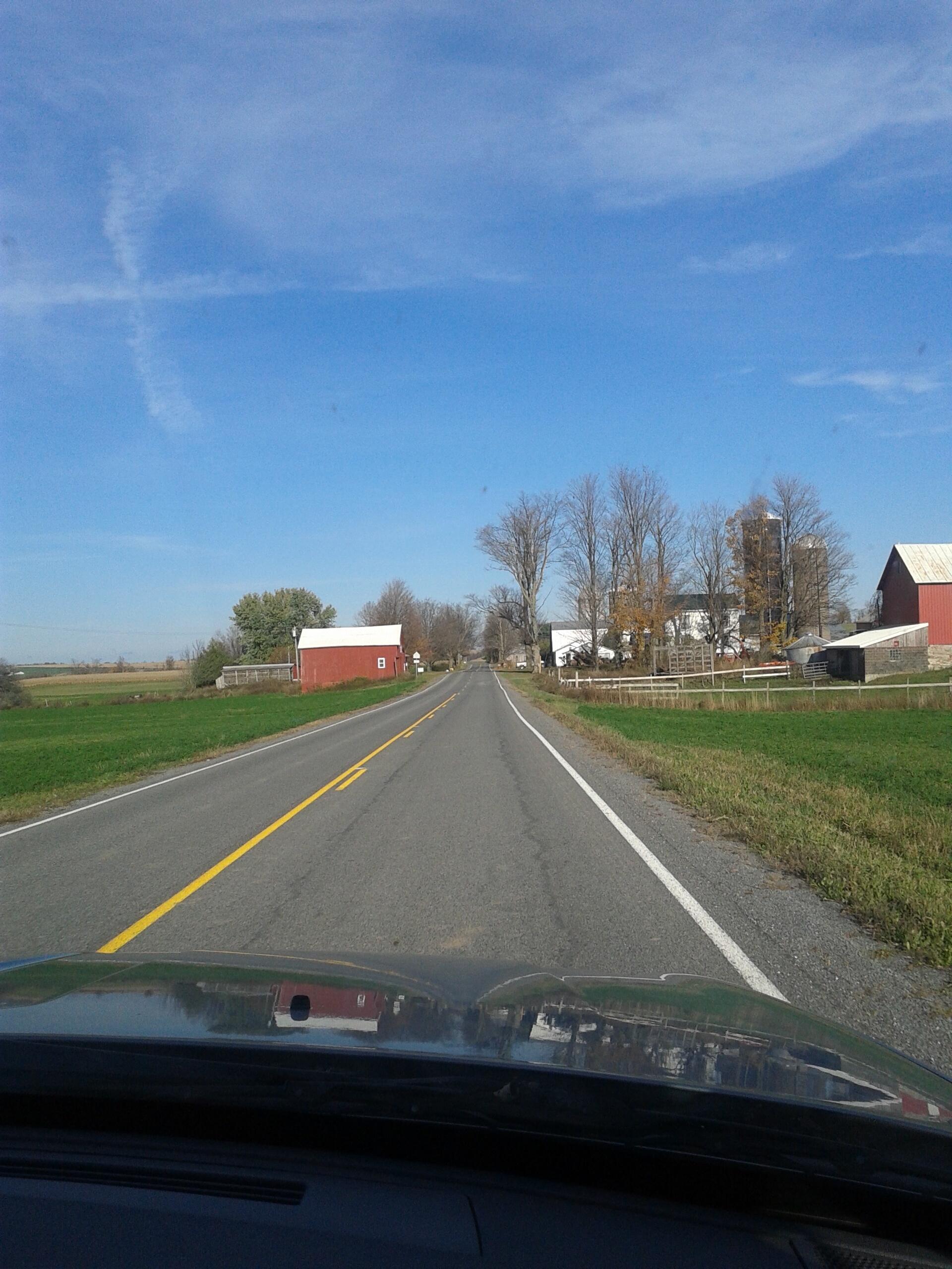
Photo.2014.10.27 16.08.36 ...
Taken on Monday October 27, 2014 at Madison County, NY.
More about Madison County, NY...
Madison County, situated in central New York State, is home to a population of 73,442 as per the 2010 census. This county is a pivotal part of the Syracuse, NY Metropolitan Statistical Area. Positioned east of Syracuse, slightly north of Binghamton, and west of Albany, Madison County holds the honor of housing the state's geographic center in Pratts Hollow, within the Town of Eaton. With Oneida Lake and Oneida Creek framing part of its northern border and Chittenango Creek defining the western boundary, Madison County boasts picturesque landscapes.
This page focuses on free camping opportunities on state land within Madison County, extending an invitation for outdoor enthusiasts to explore the region's diverse offerings, including hiking, biking, kayaking, and various outdoor pursuits.
Aerial Photos
Beaver Creek In Brookfield
Bouckville – Chenango Canal
Colonie Landfill
Nelson Swamp
Maps and Interactives
Young Lake
Woodman Pond and Chenango Canal
Utica – House Style
Stoney Pond State Forest Trails
Stoney Pond Camping Area
Oneida Lake – Land Use
Oneida Flats – 1996, 2003, 2013, 2017, 2022
Oneida 1895
Old State Road, 1890s Topos
Nine Mile Swamp
Nelson Swamp
Moscow Hill Horse Camp
Morrisville Swamp
Maumee Swamp – Weaver Lake – Young Lake
Madison County – Land Use
Lorezno Mansion State Historic Site
Leland Ponds
Hatch Pond – Bradley Brook Reservior
Fields Outside of Canastota
Fabius, NY
Exploring the Burlingtongame Preserve
Eaton Brook
Downtown Canastota
Chittenango Falls
Cazenovia Traffic Counts
... photos, maps and other content from from Madison County, NY.