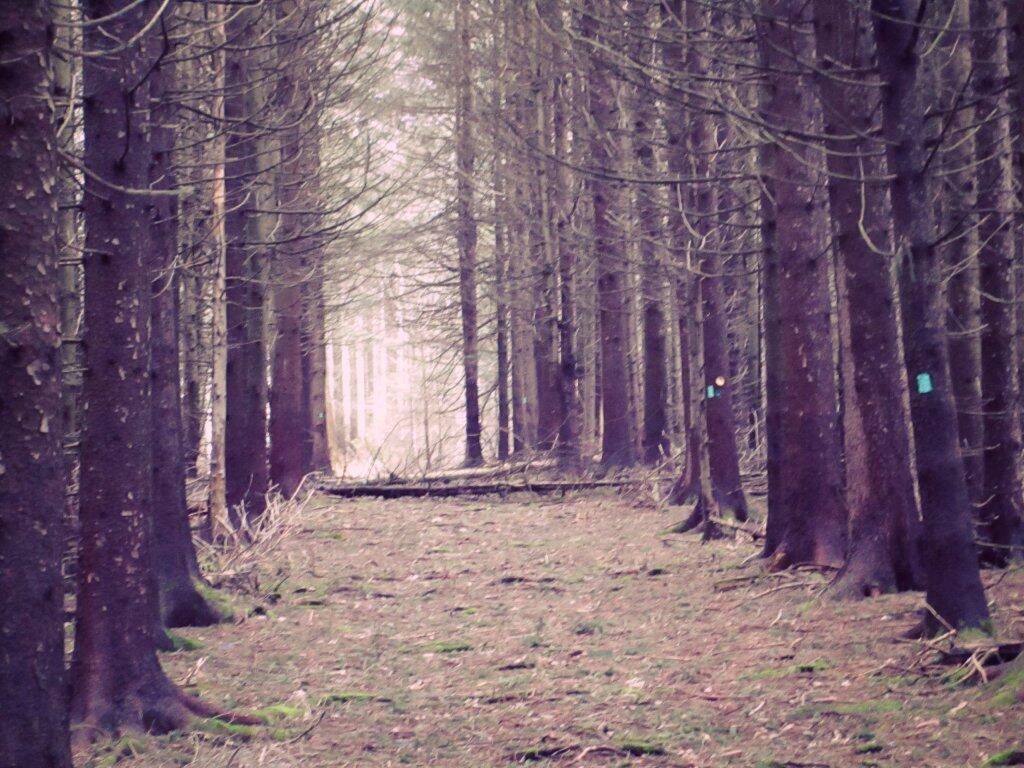
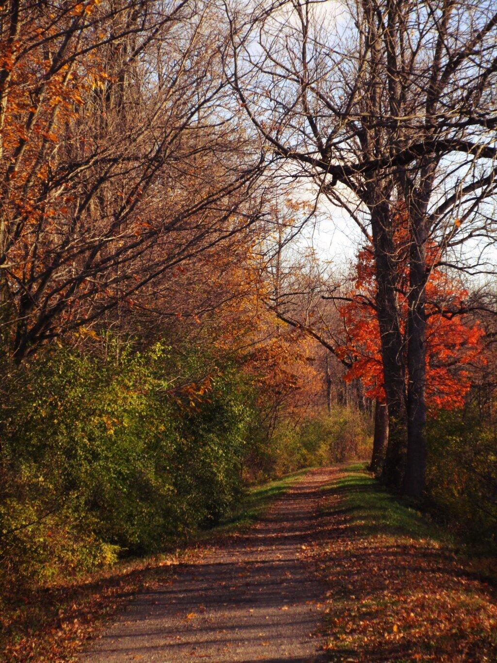
Long Path
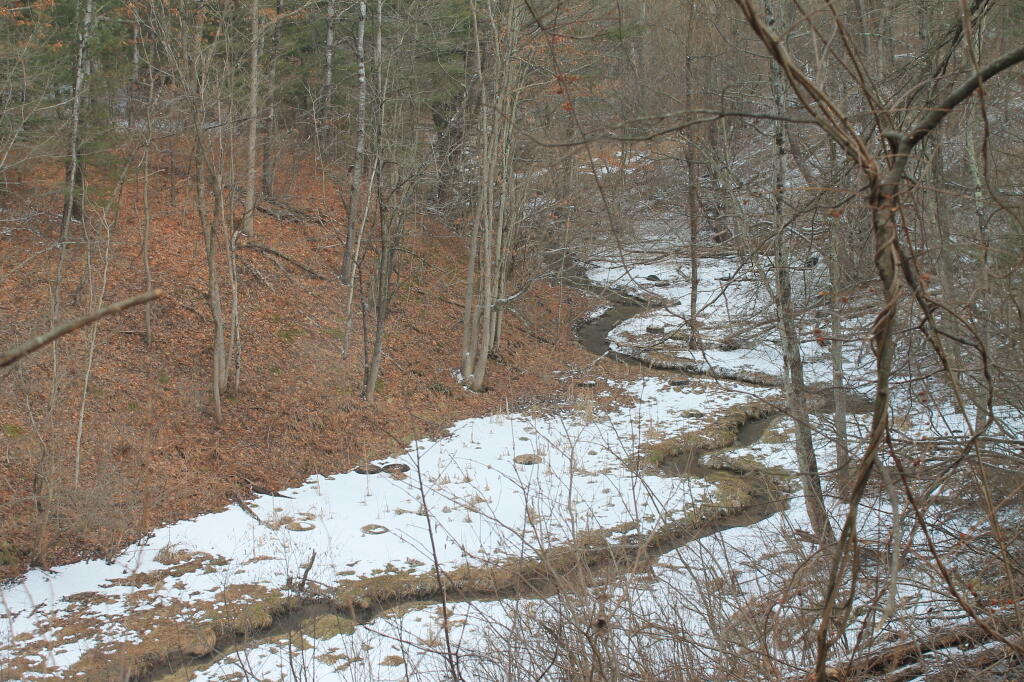
Cuts a winding path through the landscape if a winter that was.
Taken on Friday April 12, 2013 at Albany Pine Bush.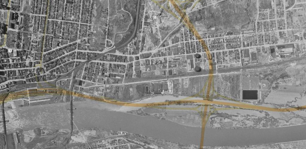
This aerial photo of Patroon Island shows it in the early 1950s before the Patroon Island Bridge, Interstate 787 and when Albany had its water treatment plant up there, before it was used as a temporary dumping ground for the city's garbage. Interstates 787 and 90 along with the bike path are overlaid on this map to get a better idea of where things exist today.
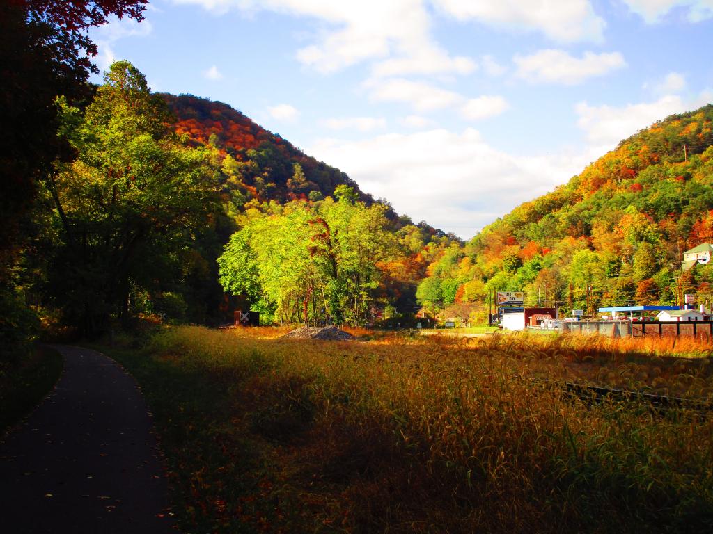
The notch gets quite narrow but they manage to get a rail line, a tow path and road in there, and some businesses in wider parts of the notch.
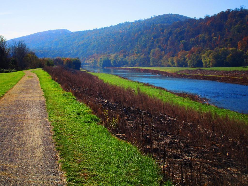
Taken on Sunday October 22, 2023 at Great Allegheny Passage.
Inside the Paw Paw Tunnel which is 3/4 mile long canal bypass under a mountain. The towpath is the hike/bike trail while you can kayak the canal itself. Both recommend either a good flashlight or a bright bicycle light (I had both, plus I was fairly nearly the south end).
Taken on Saturday October 28, 2023 at C&O Canal Towpath.