Search Results for: photo overlook trail vista

The Catskill Wilderness Areas

Trees and Mountains

The text of today’s fodder is based on the Catskill Park State Lands Master Plan, as revised in 2008. Maps were rendered by myself, using Quantum GIS and DEC Lands and Forests data.

Big Indian Wilderness

(Formerly Big Indian – Beaverkill Range Wilderness Area)

This wilderness is located in the Towns of Hardenburgh, Denning and Shandaken in Ulster County. It lies generally west of Oliverea and the Frost Valley Road, south of Belleayre Ski Center, east of Seager and Hardenburgh and north of Willowemoc and Claryville. The area ranges in width from 1 to 5 miles, is about 19 miles long and contains approximately 33,500 acres of land. Elevations range from 1,500 feet in McKenley Hollow to 3,840 feet where the state boundary crosses Doubletop Mountain. The mountains in the northeastern portion of the area are quite rugged, while those to the south and west are more characteristic of high hills. Water from the area flows into three New York City water supply reservoirs and the Delaware River Basin. Nine mountains or ridges with elevations of over 3000 feet make up the area.

Peaks

Doubletop* 3,860′
Haynes 3,420′
Big Indian 3,700′
Spruce 3,380′
Fir 3,620′
Eagle 3,600′
Hemlock 3,240′
Balsam* 3,600′
Beaver Kill Range 3,377′

* Maximum elevations given are not necessarily located within the Wilderness Area.

The forest cover is predominantly hardwood mixtures in various associations. Spruce and fir, while present at some of the higher elevations, are less noticeable here than in other Catskill wilderness areas.

Interior facilities consisting of foot trails and lean-tos are generally considered adequate.

Area statistics:

Approximate Area 33,500 Acres
Roads (non conforming) 1.4 Miles
Foot Trails 29.4 Miles
Lean-tos 6
Designated Campsites 5
Parking Lots 5
Public Use (visitors/year) 4,500
Exterior Boundary Line 67 Miles
Minimum Elevation 1,500′
Maximum Elevation 3,840′

Non-conforming uses:

Motor vehicle use of Black Bear Road from the wilderness boundary to Fall Brook Lean-to.

A UMP for this area was completed in June of 1993.

Hunter – West Kill Wilderness

(Formerly West Kill – North Dome Wilderness, Ox Clove Wild Forest, and a portion of the former Hunter Mountain Wild Forest)

The unit generally lies within the following boundaries: New York State Route 42 on the west, the Shandakan Wild Forest and NYS Route 28 to the south, and NYS Route 214 on the east. The northern extent of the unit is County Route 6, and continues along a line 100′ parallel to, and south or east of, the edge of Spruceton trailhead parking area and the centerline of the Spruceton Truck Trail, to the junction of the Colonel’s Chair Trail. A corridor, 100 feet either side of the center line of the Spruceton Truck Trail, from the Colonel’s Chair Trail to the summit of Hunter Mountain, culminating in a circle 175′ in radius from the center of the chimney on the observer’s cabin shall be within the Rusk Mountain Wild Forest.

The unit contains approximately 27,000 acres of land, and inside it’s boundaries are found the named mountain peaks of Balsam, Sherrill, North Dome, West Kill, Sheridan, Hunter and Southwest Hunter. Hunter Mountain is the second highest peak in the Catskills at 4,040 feet, and portions of it’s summit, along with a fairly extensive area on the summits of West Kill, North Dome and Sherrill Mountains are within the Catskill High Peaks Bird Conservation Area, and are of special significance in that they provide habitat for high elevation spruce-fir inhabitants such as Bicknell’s Thrush and the Blackpoll Warbler, among others.

There are currently two lean-to’s on the unit, the Diamond Notch lean-to located just off the Diamond Notch Trail, and the Devil’s Acre Lean-to off of the Devil’s Path Trail. Waters from this unit drain into Schoharie and Esopus Creeks and then into the Schoharie and Ashokan Reservoirs, which are in the New York City water supply system.

Area statistics:

Approximate Area 27,000 Acres
Foot Trails 18 Miles
Lean-to’s 2
Parking Lots 5
Minimum Elevation 920′ Maximum Elevation 4,040′

Indian Head Wilderness

(Formerly Plateau Mountain – Indian Head Mountain Wilderness Area)

This wilderness is located in the Town of Hunter, Greene County and the Towns of Saugerties and Woodstock, Ulster County. It lies generally west of the east boundary of the Catskill Park, south of Platte Clove, east of Devil’s Tombstone Campground and north of Lake Hill and Shady. The area ranges from 1 ½ miles to 3 ½ miles in width, is eight miles long and contains approximately 16,800 acres.

Elevations range from 900 to 3840 feet and the four major mountains in the area are visible against the skyline from all directions. Echo Lake, the only natural lake in a Catskill wilderness, is located in the east-central portion of the area. Water from this eastern section flows into the Kingston and Saugerties water supply reservoirs, while drainage from the central and western section flows into two New York City water supply reservoirs. Six named mountain peaks over 3,000 feet in elevation dominate the area.

Peaks

Plateau 3,840′
Indian Head 3,573′
Sugarloaf 3,800′
Olderbark 3,440′
Twin 3,640′
Plattekill 3,100′

The forest cover varies from extensive oak stands on the eastern most slopes to mature spruce-fir on top of Plateau Mountain. An excellent mature stand of northern hardwood and hemlock occupies the slopes south of the Saw Kill.

Echo Lake, unique to the Catskill wilderness, is very popular for undeveloped camping. A small number of scattered primitive tent sites with fire rings have been established and public camping is limited to their capacities.

Public access is provided by several foot trails entering the area, including the old road from Meads to Overlook Mountain.

Area statistics:

Approximate Area 16,800 Acres
Roads 6.6 Miles
Foot Trails 24.1 Miles
Cross-country Ski Trails 5.6
Lean-tos 3
Designated Campsites 10
Parking Lots 1
Public Use (visitors/year) 8,000
Length of Boundary 33 Miles
Minimum Elevation 900′
Maximum Elevation 3,840′

A UMP for this area was completed in October of 1992.

Slide Mountain Wilderness

(Formerly Slide Mountain – Panther Mountain Wilderness Area)

This wilderness is located in the towns of Shandaken, Denning and Olive in Ulster County. It lies generally south of NYS Route 28, west of West Shokan, north of the Peekamoose Road (County Route 42) and east of the Frost Valley Road (County Route 47). It surrounds the Woodland Valley Campground and abuts the Sundown Wild Forest to its south. This area ranges from 1 to 10 miles in width, is about 13 miles long, and contains approximately 47,500 acres of land. The wilderness boundary is 118 miles long.

The terrain is rugged and steep with elevations ranging from 1,100 to 4,180 feet. All water draining from the area eventually reaches three New York City water supply reservoirs by way of the East and West Branches of the Neversink River, Rondout Creek and Esopus Creek. Twelve named mountain peaks with elevations over 3000 feet exist in the area. Of these, six may still be considered trail-less to the extent that they have no marked and maintained trails.

Peaks with Trails

Slide 4,180′
Peekamoose 3,843′
Cornell 3,860′
Wittenberg 3,780′
Table 3,847′
Panther 3,720′

Trail-less Peaks

Lone 3,721′
Rocky 3,508′
Friday 3,694′
Van Wyck 3,206′
Wildcat 3,340′
Balsam Cap 3,623′

The forest cover consists of nearly every possible mixture and association of hardwood and softwood trees native to the mountain region. While hardwoods predominate higher elevations are often covered with red spruce and balsam fir.

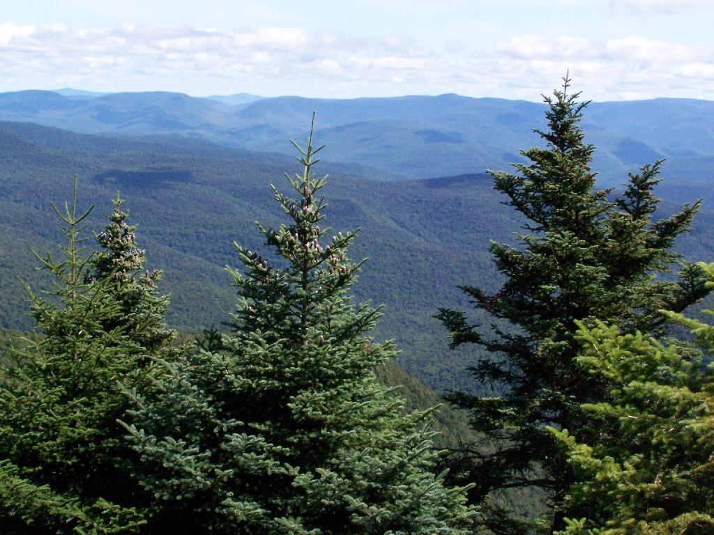
This area receives more public use than any other Catskill wilderness. Superb vistas are found on Slide, Wittenberg, Cornell, Giant Ledge and Panther Mountains. Access via foot trails is available from the north, south, east and west.

Area statistics:

Approximate Area 47,500 Acres
Foot Trails 35.3 Miles
Lean-tos 3
Parking Lots 10
Designated Campsites 29
Public Use (visitors/year) 23,000
Length of Boundary 118 Miles
Minimum Elevation 1,100′
Maximum Elevation 4,180′

A UMP for this area was completed in March of 1987 and revised in October of 1998.

Windham – Blackhead Range Wilderness

(Formerly Blackhead Range, and North Mountain Wild Forests, and portions of Windham High Peak, and Black Dome Valley Wild Forests)

The combination of these Wild Forest areas creates the Windham – Blackhead Range Wilderness Area, which lies within the Greene County towns of Cairo, Hunter, Jewett, Windham and Durham. The classification of these former Wild Forest areas was changed to Wilderness because their combined area comprises approximately 17,100 acres and contains rugged, high elevation land that clearly exhibits wilderness character. This newly classified area has seven named mountain peaks over 3,000 feet in elevation.

They are:

Peaks Black Dome 3,980′
Windham High Pk 3,520′
Blackhead 3,940′
Stoppel Point 3,420′
Thomas Cole 3,940′
Burnt Knob 3,180′
Acra Point 3,100′

The unit also contains six unnamed peaks over 3,000 feet, which range from 3,040 feet to 3,540 feet in elevation. Of the five highest peaks in the Catskills, three – Black Dome, Thomas Cole and Blackhead – are in this unit. This concentration of 13 peaks over 3,000 feet, within an area of approximately 28 square miles, with limited access, structures and improvements (30 miles of maintained foot trails and two lean-to’s) make the Windham – Blackhead Range Unit an area with excellent wilderness character.

A fairly extensive area of old growth forest can be found on this unit at the higher elevations, along the ridge stretching from an area west of Thomas Cole Mountain to Blackhead Mountain, and on Windham High Peak. The presence of this old growth forest, with its distinctive flora and fauna, add to the wilderness character of the unit. The unit also includes the headwaters of the Batavia Kill and, to the south over the Blackhead Range, the headwaters of the East Kill. Both of these rivers flow into Schoharie Creek, and are an integral part of the New York City Watershed system.

The western boundary of this unit shall be the east side of the Elm Ridge Trail, Black Dome Trail leaving it within the Elm Ridge Wild Forest, continuing north along the drainage to the Catskill Park boundary. The southern boundary of the unit shall be the Escarpment Trail approximately one half mile south of Stoppel Point to a point on the Escarpment Trail where it comes closest to the eastern Forest Preserve boundary. Both North Point and Stoppel Point will be within the Wilderness area. Lands to the south of the south edge of the Escarpment Trail in this area, will be in the Kaaterskill Wild Forest.

Because the Windham – Blackhead Range Wilderness surrounds the smaller Colgate Lake Wild Forest Unit, and because they are linked together by public use, the Unit Management Plans for the two units shall be contained in one document.

Area statistics:

Approximate Area 18,0000 Acres
Foot Trails 30 Miles
Lean-tos 2
Parking Lots 1
Minimum Elevation 980′
Maximum Elevation 3,980′
Map and Coordinates List for NYS DEC Firetowers πŸ—Ό

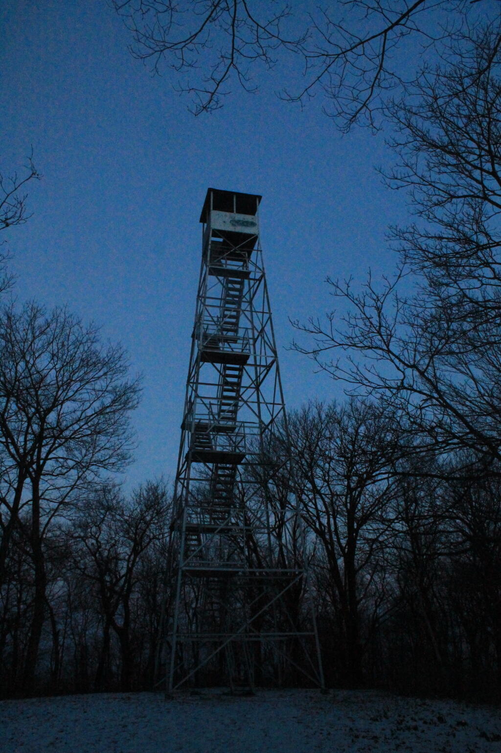
Discover a wealth of information on this page about fire towers situated on state lands, accessible through invigorating hikes that lead to panoramic vistas. Interactive maps guide your exploration, offering insights into the locations and trails leading to these towering viewpoints. Additionally, find convenient links to other pages that delve deeper into fire towers across the entirety of New York State. Embark on a journey that combines outdoor adventure with breathtaking scenery, as you navigate the trails and pathways leading to these historic landmarks that have stood as guardians of the landscape. This resource opens doors to captivating experiences that allow you to savor the beauty of nature from elevated perspectives while providing avenues for further exploration of New York’s fire tower heritage.

Here is a list of Fire Towers on NYS DEC lands. You can get this also on Google Sheets. Does not include the Dickinson Hill Fire Tower in Grafton, which is part of the Grafton Lakes State Park. You might also be interested in nearby camping opportunities.

TowerState LandNotesCoordinates
Azure Mtn. Fire TowerDebar Mountain Wild ForestRelatively short hike.44.5412601955876,
-74.5007131438668
Balsam Lake MountainBalsam Lake Mountain Wild ForestLonger hike along old road.42.0453530369935,
-74.5943882522534
Belfry Mountain Fire TowerHammond Pond Wild ForestVery short hike up dirt road.44.0977783227959,
-73.5480575565177
Berry Hill FiretowerMcdonough State ForestOnly up to second level is open, no upper level access.42.5498033738312,
-75.6903147862666
Black Mountain Fire TowerLake George Wild ForestLonger hike up a snowmobile trail.43.6068253423597,
-73.5315598873687
Blue Mountain Fire TowerBlue Mountain Wild ForestVery popular, worn-down trail.43.8722986188442,
-74.4007350580445
Lowville Demostration Area
Fire Tower
Lowville Demonstration AreaNo access to tower, part of demonstration forest.43.8093267984132,
-75.4730800808841
Goodnow Mountain Fire TowerSuny Esf LandsOpen to public, SUNY ESF Lands43.9598725064095,
-74.2096091339017
Hadley Mountain Fire TowerWilcox Lake Wild ForestPopular hike in Southern Adirondacks.43.3769100935034,
-73.9709647959219
Hunter Mountain Fire TowerHunter-West Kill WildernessMultiple approaches to this fire tower offer different hikes with different amounts of work.42.1779299997605,
-74.2297619994181
Hurricane Mountain FiretowerHurricane Mountain Primitive AreaThe only fire tower remaining in the Adirondack High Peaks.44.2352949729449,
-73.7101070215222
Kane MountainShaker Mountain Wild ForestShort hike near Caroga Lake.43.1810788942093,
-74.5151618559196
Beebe Hill Fire TowerBeebe Hill State ForestShorter hike near Austerlitz and Massachussetts border.42.3361525194561,
-73.4862760091067
Leonard Hill Fire TowerLeonard Hill State ForestYou can drive to this tower. Bottom floors removed, no access to tower.42.4510039574136,
-74.3529141572996
Lyon Mountain Fire TowerChazy Highlands Wild ForestLonger hike, new trail avoids severely erroded old trail44.7048354583899,
-73.8627762019644
Mount Adam Fire TowerHigh Peaks WildernessJust south of main high peaks area.44.0874829962416,
-74.0228637207712
Mount Nimham Fire TowerNimham Mountain MuaNear Beacon41.4611546516545,
-73.72510657899
Mount TremperPhoenicia – Mt. Tobias Wild ForestFollow an old woods road to summit.42.0739476727477,
-74.2781528438603
Mt Arab Fire TowerHorseshoe Lake Wild ForestRelatively short hike outside of Tupper Lake.44.2046152316571,
-74.5879293129745
Overlook MountainOverlook Mountain Wild ForestPopular hike outside of Woodstock, follows a gated road.42.085023587202,
-74.0933592964641
Owls Head FiretowerSargent Ponds Wild ForestModerate hike outside of Long Lake.43.9542904615568,
-74.4984616500416
Pillsbury Mountain Fire TowerJessup River Wild ForestMile long hike to a firetower with views over Perkins Clearing and areas around Spectulator43.5807556043109,
-74.5118079500206
Poke-O-Moonshine Fire TowerTaylor Pond Wild ForestNew trail is less steep and follows old woods road.44.4019104158425,
-73.5130620065356
Red Hill Fire TowerSundown Wild Forest1 mile hike to a fairly remote firetower.41.9238122519417,
-74.5170620256067
Rondaxe Fire TowerFulton Chain Wild ForestQuick hike outside of Old Forge that is very popular.43.7385880495938,
-74.9129188420394
Roosa Gap FiretowerRoosa Gap State ForestFiretower on the Long Path in the Shawgunks.41.6176280752519,
-74.4267422878805
Snowy MtJessup River Wild ForestPopular hike, one of the more difficult towers to access.43.7003213769888,
-74.3866001142199
Spruce Mountain Fire TowerWilcox Lake Wild ForestTrail crosses private land, closed during hunting season.43.2163188109202,
-73.9061192265182
St. Regis Mtn. Fire TowerSaint Regis Canoe AreaCurrently closed to public use.44.4085838385311,
-74.3296128971506
Stillwater Mountain Fire TowerIndependence River Wild ForestNear the Stillwater Reservior.43.8618343053993,
-75.033327606033
Sugar Hill Fire TowerSugar Hill State ForestObservation tower in Finger Lakes, during summer months you can drive to it, part of Six Nations Horse Cap.42.3871467022238,
-77.0025364212371
Vanderwhacker Mountain Fire TowerVanderwhacker Mountain Wild ForestRough seasonal road then 2 Β½ mile hike.43.8982271055416,
-74.0959123515681
Wakely Mountain Fire TowerWakely Mountain Primitive AreaNear Cedar River Flow at Moose River Plains. Seasonal use road to access.43.7358887903725,
-74.515229327937
Woodhull Mountain Fire TowerBlack River Wild ForestOne of the longer hikes, part of the trail is an old railroad grade until you climb the peak.43.6230161401271,
-74.9615452951445

Fire Tower

August 13, 2020 Evening

Good evening! Clear and 72 degrees at the Finger Lakes National Forest. πŸŒƒ There is a north-northeast breeze at 5 mph. πŸƒ. The dew point is 58 degrees.

It was a nice day πŸ‘ to explore part of the Finger Lakes I had never been to before. The Kueka Outlet Trail is pretty darn neat winding through a gorge past numerous ruins of old mills. 🏀 One thing that surprised me that there was enough water power to run all those mills – when I was there the water was flowing but hardly a torrent. It might be different in the spring or after a heavy rain storm β˜” – it’s been a pretty dry summer in the Finger Lakes although nothing like 2015.

Hiked 🚢🏽 from Penn Yan to Dresden a total of 13 miles round trip. While this is not a strenuous hike by any means – it’s a 200 feet ascent heading west over 6 1/2 miles it was still an all afternoon hike and I was tired 😴 with the heat. I did do a short walk around downtown Penn Yan πŸ™ which still has a fairly intact main street then visited the village park overlooking the lake. Ironically, when you are at one of the tips or Keuka Lake you really don’t get that scenic of a vista as all you see is the tine of the fork 🍴and big hill in the center.

Came back and got ice at Dandy Mart. Forgot to buy coffee β˜• again for the morning. Spent a little time down at Clute Park but I was tired πŸ’€ and didn’t want to drive to camp in the dark so I left before sunset πŸŒ‡. Came back and had hot dogs and beer 🌭🍺, I’m definitely ready for bed now.

I thought about hiking to Foster Pond but after a few beers 🍻 and all the walking 🚢🏽 I did today, I decided it’s not advisable. I’m just super tired. I find it hard to get as good of night sleep in the woods as I do at home, especially if I stay up late and then wake up when the sun β˜€ is pouring in my window. ⬜

I have a bunch of pictures to upload πŸ—ΊοΈ but I’ll wait until tomorrow when I head into town. I wanted to process them a bit more on my phone before uploading. I also have some pictures I want to get off my dash cam to upload.

Tonight will be mostly clear πŸŒƒ, with a low of 64 degrees at 5am. Four degrees above normal. Maximum dew point of 60 at 1am. Northeast wind around 5 mph becoming calm in the evening. In 2019, we had mostly clear skies in the evening, which became partly cloudy by the early hours of the morning. It was somewhat humid. It got down to 66 degrees. The record low of 44 occurred back in 1941.

Tonight will have a Waining Crescent 🌘 Moon with 28% illuminated. The darkest hour is at 1:13 am, followed by dawn at 5:43 am, and sun starting to rise at 6:14 am in the east-northeast (69Β°) and last for 3 minutes and 4 seconds. Sunrise is one minute and 4 seconds later than yesterday. πŸŒ„ The golden hour ends at 6:53 am with sun in the east-northeast (76Β°). Tonight will have 10 hours and 3 minutes of darkness, an increase of 2 minutes and 29 seconds over last night.

Tomorrow will be mostly sunny 🌞, with a high of 87 degrees at 3pm. Six degrees above normal. Maximum dew point of 63 at 9am. Calm wind becoming northeast 5 to 8 mph in the afternoon. A year ago, we had light rain in the morning, which became thunderstorm by afternoon. It was sticky. The high last year was 84 degrees. The record high of 97 was set in 1988.

Going to be another hot and sunny day tomorrow. πŸŠπŸ»β€β™‚οΈ I think it would be a good day to spend one more day at the Watkins Glen State Park pool on a relatively quiet weekday. and maybe hike more of the Catharine Valley Rail Trail, maybe south of Montour Falls this time. πŸš‚ And maybe one last ice cream cone at Glen Dairy Bar. 🍦Saturday I will probably stay in the National Forest for social distancing purposes but I’m thinking of doing some fishing 🎣 and swimming of Caywood Point and maybe if it seems like the water is calm, paddling from Watkins Glen to Hector Point. Sunday I probably will hang out at camp for a while then maybe go for a hike around the rim of Taughannock and then head home around 1 pm, probably via NY 23.πŸ›£οΈ

It seems odd that this trip I haven’t visited the Taughannock Gorge so far πŸ•‹ or Enfield Glen. While I like those places a lot they tend to be crowded and I have little interest in visiting any crowded places during the pandemic. I am trying to keep this trip simple and relaxing plus visiting new places in the Finger Lakes that I’ve not spent a lot of time in the past. Gorges are great but I am really truly hard to maintain social distancing. πŸ‘¨β€πŸ‘¨β€πŸ‘¦β€πŸ‘¦While COVID-19 doesn’t have me hiding all the time in my home, I really try to avoid places where maintaining social distancing is impossible.πŸ—£οΈ

Before hiking today I sprayed heavily my hammock with another coat of Martin’s Permethrin. 🐜 Bugs haven’t been bad camping but I figured it’s a nice low humidity, non windy day so it should soak in good as some time in the future might be buggy again. Permethrin has a bit of a funny smell at first but it dissappears after airing out. πŸ‘ƒ

In four weeks on September 10 the sun will be setting in the west (277Β°) at 7:25 pm,πŸŒ„ which is 45 minutes and 37 seconds earlier then today. In 2019 on that day, we had mostly sunny and temperatures between 77 and 52 degrees. Typically, you have temperatures between 75 and 54 degrees. The record high of 96 degrees was set back in 1931.

Looking ahead, 6:30 Sunrise πŸŒ‡ is in 4 weeks, Constitution Day πŸ“œ is in 5 weeks, October πŸ›₯ and Harvest Moon πŸŒ• is in 7 weeks, Average High is 60 πŸ‚ is in 9 weeks, Average Night Below Freezing 🌌 is in 3 months, Thanksgiving πŸ¦ƒ is in 15 weeks, 7:15 AM Sunrise βŒ›οΈ is in 17 weeks, Christmas Eve πŸŽ… is in 19 weeks, New Years Eve πŸŽ† is in 20 weeks, Make Your Dream Come True Day 🏑 is in 5 months, Coldest Week of the Year 🌬 is in 22 weeks, Wolf Moon πŸŒ• is in 24 weeks, Don’t Cry over Spilled Milk Day πŸ₯› is in 26 weeks and National Drink Wine Day 🍷 is in 27 weeks.

Eli Navigates

Gorging on Gorges, An Adventure, Day 2

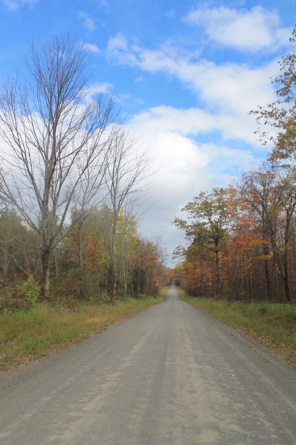
I awoke for Day 2 of Gorging on Gorges, and it was a fairly warm morning, at least for the day before Columbus Day, in the back country of the Finger Lakes National Forest. I decided I wanted a full breakfast this morning, so I got some sausage frying up, the coffee peculator doing its thing, then scrambled some eggs with mushrooms and sweet peppers. It was a good breakfast. Packed up my gear, folded the flag, headed out on Potamac Road, and stopped grab a few pictures of the pastures along the road.

Potamac Road 2

Driving along all these back-country roads, I was amazed during most of my trip in New York State, on how many anti-SAFE Act signs there were in front of houses and farms along the way. If there ever was an issue that galvinized the backwoods of Upstate NY, it has to be that stupid gun law. I would reminded of the opposition to the SAFE Act all week, until I finally crossed into Pennsylvania state-line – the last SAFE Act sign ended a ΒΌ mile before I left the state. I bet you that poor dairy farmer, was awful pissed to live on the wrong side of an imaginary line, so they had to be subjected to stupid laws, high taxes, and anti-farm regulations.

Across the Gorge

Drove down to Trumansburg and then to Taughannock Falls State Park’s Gorge Overlook. The main overlook, next to the parking lot was a complete tourist trap, with dozens of tourists, many obviously traveling a long ways to get there, crowded around the overlook deck, as everyone – myself included – scrambled to get that one trademark photo of the falls. I was glad to get away from that overlook.

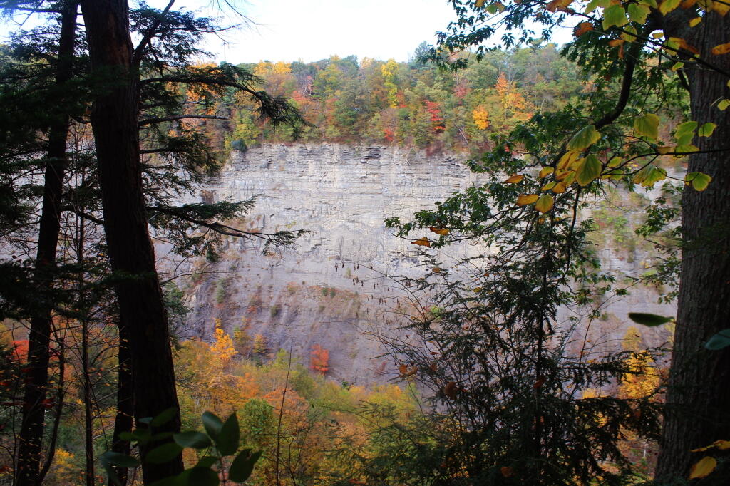
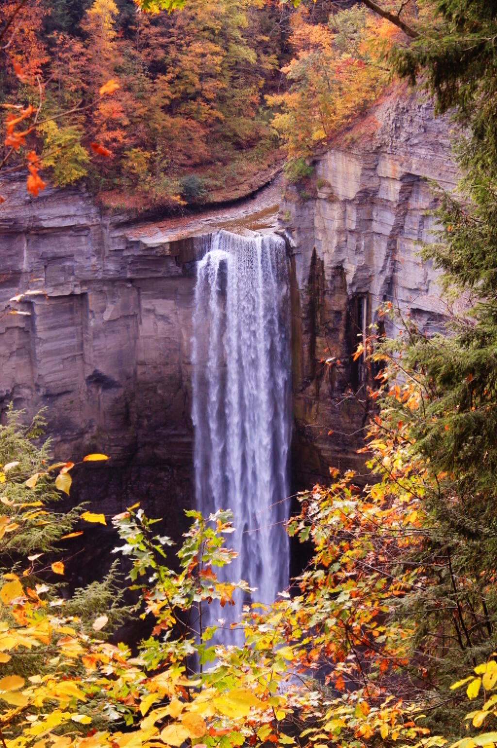
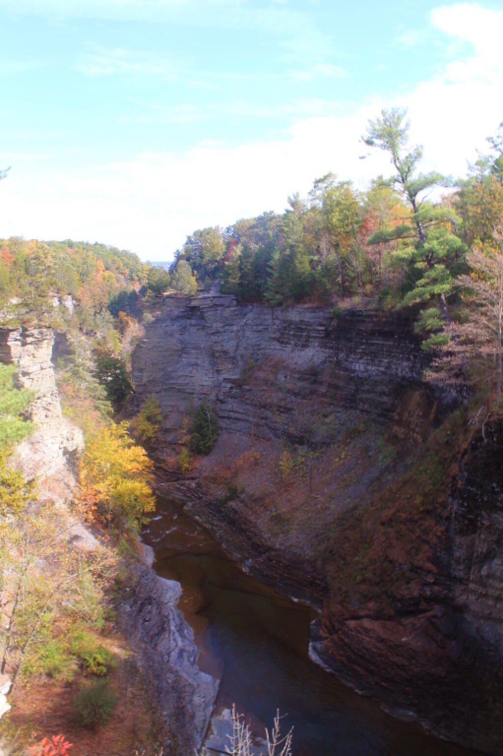
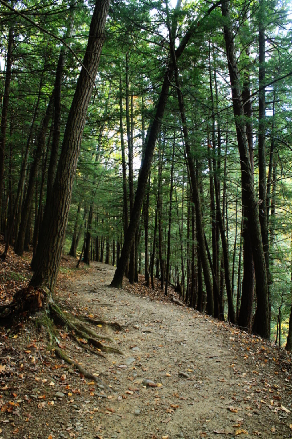
Started along the North Rim trail along the gorge. I was looking for secret places to find isolated, beautiful views of fall, and the hike did not disappoint. I found one perfectly shrouded in colorful fall leaves, but with a view of falls. I snapped a picture. I continued along, and found some good views in the gorge, showing the depth and width it below the falls. Then I ran into Robin Smith and his wife – Twitter and Facebook friend. Chatted for five minutes, then I proceeded on.

A Secret Spot for Observing the Falls

In part, I was in a bit of a rush, trying to find a place to take a piss. All that coffee plus maybe an eye-opener drink wasn’t great for the bladder. There also were a few to many people around to do it right on trail, especially being so close to the road most of way. But eventually I did it, and was on my way.

The North Rim trail runs into the Black Diamond Trail, which crosses an old railroad bridge, converted to a hiking trail via some concrete slaps and fence placed on it. The high, old railroad trestle provides views of a smaller, upper waterfalls and the little known, but quite impressive upper gorge. The upper gorge, above the falls, is a deep, narrow, but beautiful gorge where the Taughannock Creek runs, cutting deep into the valley. For the best views, you have to take the South Rim trail, which is what I took next.

Upper Gorge

The South Rim trail is impressive. There is the big parking lot from the Gorge Overlook on Taughannock Road, or you can alternatively take Gorge Road, and halfway down it, park in the smallish pull-off. Don’t miss it though. If you follow the South Rim Trail, there are some views of the gorge below the falls, and one view of the gorge, extending out to Seneca Lake.

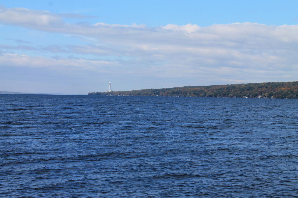
I hiked back to my pickup truck, and then drove down to the main part of Taughannock Falls State Park. I parked in main portion of the park, rather then the always crowded and tight to park in lot next to the trail to Gorge Trail, which runs inside the gorge to below the falls. Not wanting my truck damaged by an overly excited tourist, I figured it’s always safer to park in an empty lot. Walked down to Seneca Lake, and noticed how green the trees were still on the lake shore. This contrasts to sections of US 20, the previous day, where the colors were burnt out to say the least. I was also surprised to see the AES Cayuga in Lansing, across the lake, burning coal today. They must keep in standby for when the line frequency drops to low locally. Stopped in the bathrooms at Taughannock Falls State Park, which were just very gross – clean, but rusty and in old shape – like so many state facilities.

AES Cayuga Coal Plant in Lansing

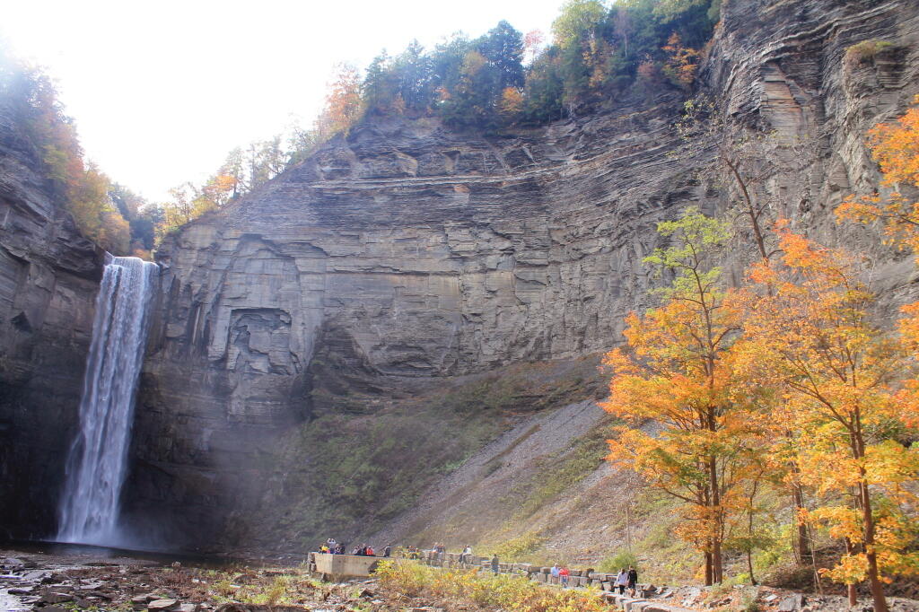
Then I hiked along the gorge trail to the fall, taking several moments to stop and take photos, and explore the river bed. I had previously been here, in mid-July, but it certainly was different now that fall was in full swing. The trail was popular, and in some places, downright crowded, but the riverbed, at least as far as one could hike, wasn’t nearly as crowded. The gorge walls were pretty with the fall leaves, although by the time I got the falls, the sun was right over the top of the waterfalls, so most of the pictures of the falls came out pretty poorly.

The Falls From Below

Headed back to the truck, then drove down to Ithaca. The traffic was as awful as always in that city. I had stop at the pharmacy, then it was off to Buttermilk Falls State Park. I was surprised they were still charging – the last day must be Columbus Day. By now, it was too late to keep Robert Treman State Park on my list; that will have to wait until tomorrow. This time, I intentionally hiked up the North Rim trail, up to West King Road, then down into the gorge. Last November, I hiked up the gorge, so I figured it would be interesting to go the other way this time.

North Rim Trail

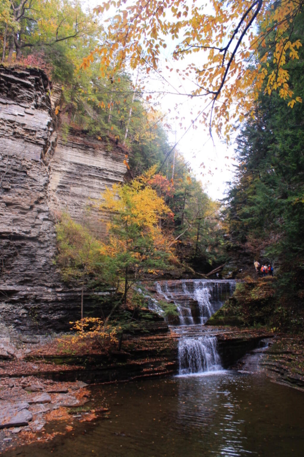
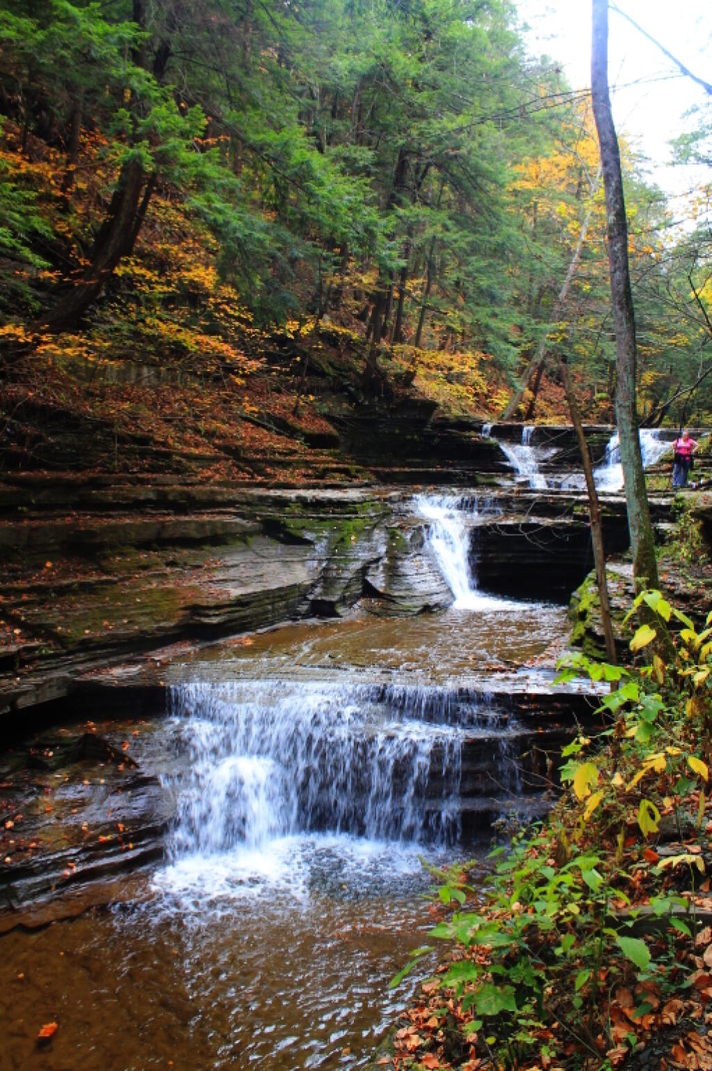
Hiking down Buttermilk Falls was scenic, but not as a scenic as I remember it. Maybe after all this time hiking in gorges and exploring the gorges, they also start to look a bit alike – and we are only day two. It’s more scenic then most of other glens, besides Enfield Glen and Watkins Glen, but it’s still a step below them. The gorge swimming pool at the bottom of the gorge it was nice.

 An Autumn Afternoon at the Falls

It was a good hike, until descending the slippery stairs, I slipped, and dropped my camera, and it fell like 20 feet, hitting a dozen of the stone stairs before coming to a rest. The fall did some serious damage to the camera, as one might expect. The protective UV filter was shattered, the case was cracked up the lens. I was not pleased, to say the least. There may have been a few cuss words. But so be it. The camera was under a drop warranty that I bought when I got it, but I was more worried that the fall would damage the camera, so I would be out of luck for taking more pictures for the rest of the trip.

I might have been pissed at myself for my careless handling and missteps, for a little while, cussed myself out. I was less pissed when I discovered the lens wasn’t destroyed, only the $5 UV filter. The camera seemed to continue to work well, although the flash doesn’t always pop up – a feature I almost never use at any rate. The camera seemed to work okay, and I picked up a second UV filter at Walmart later in the evening. Later in the week, I noticed the automatic focus was sticking – fortunately I have a drop warranty on the lens too. One of these days, I will get around to sending the camera back to the factory for warranty repairs or replacement.

Nice Little Falls

Once I got over the shock, anger, and amusement of smashing up my camera, and got the shattered UV filter off the camera – it took a little fiddling, as the impact of the fall bent the ring – I enjoyed the remaining hike and vistas of falls. Snapped several other quite nice pictures. Went to Walmart to pick up a few supplies, then back to Finger Lakes National Forest, for another evening at camp.

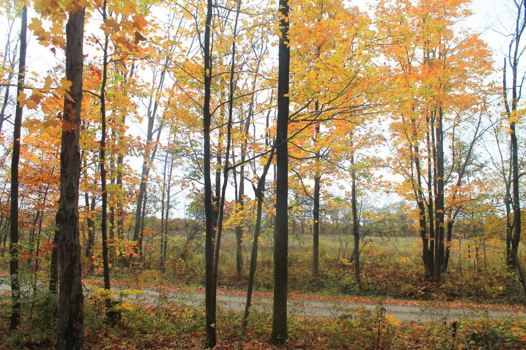
When I drove up to the campsites on Chicken Coop Road, I was pleasantly surprised to find out the campsite I like was vacant. Whoever was the night before packed up, and there was no mess left over. Hung the flag up, set up the table, hung lights up, and gathered wood. Started a campfire, cracked open a beer, had soup and sandwitches for dinner. The colors in the woods were about peak here. Around 6:15 PM, walked across the road, to take a closer look at the cows grazing in the pasture.

Pasture View from Campsite

I stayed up until 8:15 PM, when it started to sprinkle, and quickly turned to a heavier rain, and decided it was time to seek shelter under the truck cap. Again a bit annoyed about the rain, and my stupidity about not setting up a tarp earlier in the evening. I listened to the radio for a bit, played on my cellphone, and retired for the night. The good news was that by morning, the rain would have passed, although the skies would be cloudy, damp, and the temperature only around 47 degrees.