North Point
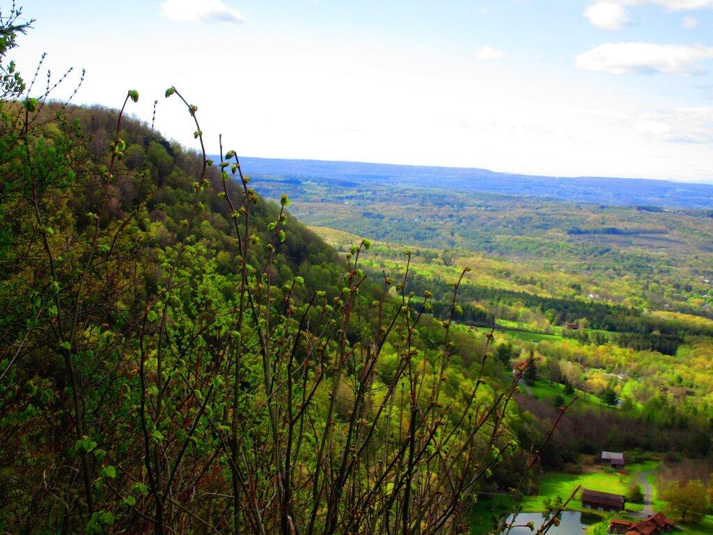
Looking off from Hanger Glider Cliff at North Point which is rapidly becoming green.
Taken on Saturday May 16, 2020 at John Boyd Thacher State Park.
Looking off from Hanger Glider Cliff at North Point which is rapidly becoming green.
Taken on Saturday May 16, 2020 at John Boyd Thacher State Park.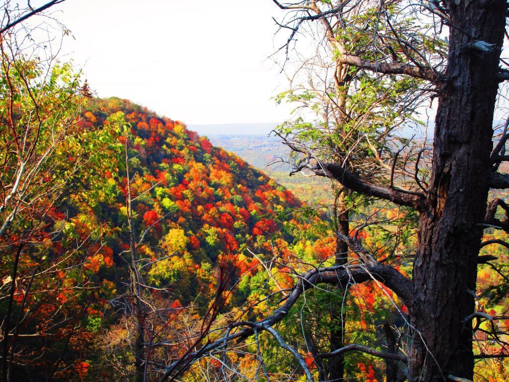
Overlook a little ways from Hang Glider Cliffs looking towards High Point.
Taken on Saturday October 10, 2020 at John Boyd Thacher State Park.Notes on the Re-Run for Monday, September 13th.
Two years ago, I went for a hike up at Thacher Park’s OSI Parcel. As a kid, I never was a big fan of Thacher Park, but I’ve fallen in love with the more wild areas, where one can go up and explore for free. Manicured parks, roamed by jack-booted thugs, aren’t my thing but the views from the OSI Parcel are amazing.
— Andy
I went out hiking with my dog on this Sunday afternoon. I parked at the Carrick Road Old Querry. There where several other cars parked there. Here is a map of the Thacher Park OSI Parcel with all of the many different trails that criss-cross these lands. You can click on this map to download it for printing.
By September 20th, there where a few early signs of color, including this somewhat sickly looking Sugar Maple about a quarter mile from the query.
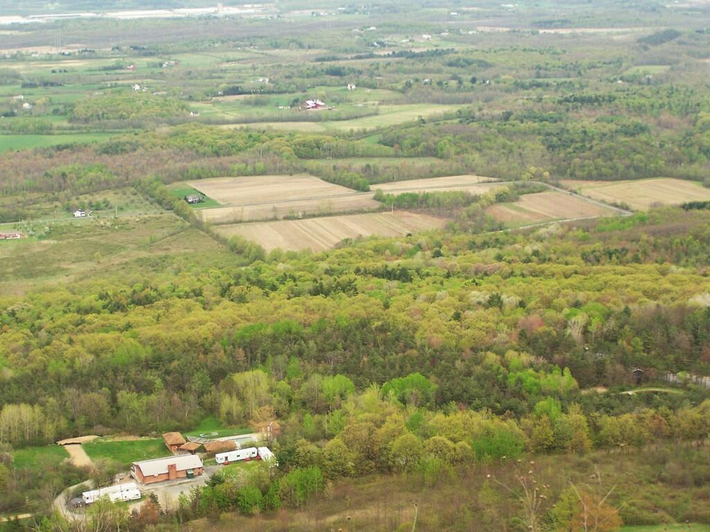
From High Point on the Thacher Park Cliff it was as clear out there as it gets in the summer.
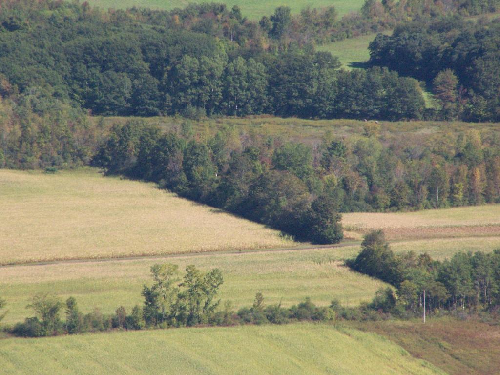
With the cattle corn ready to harvest…
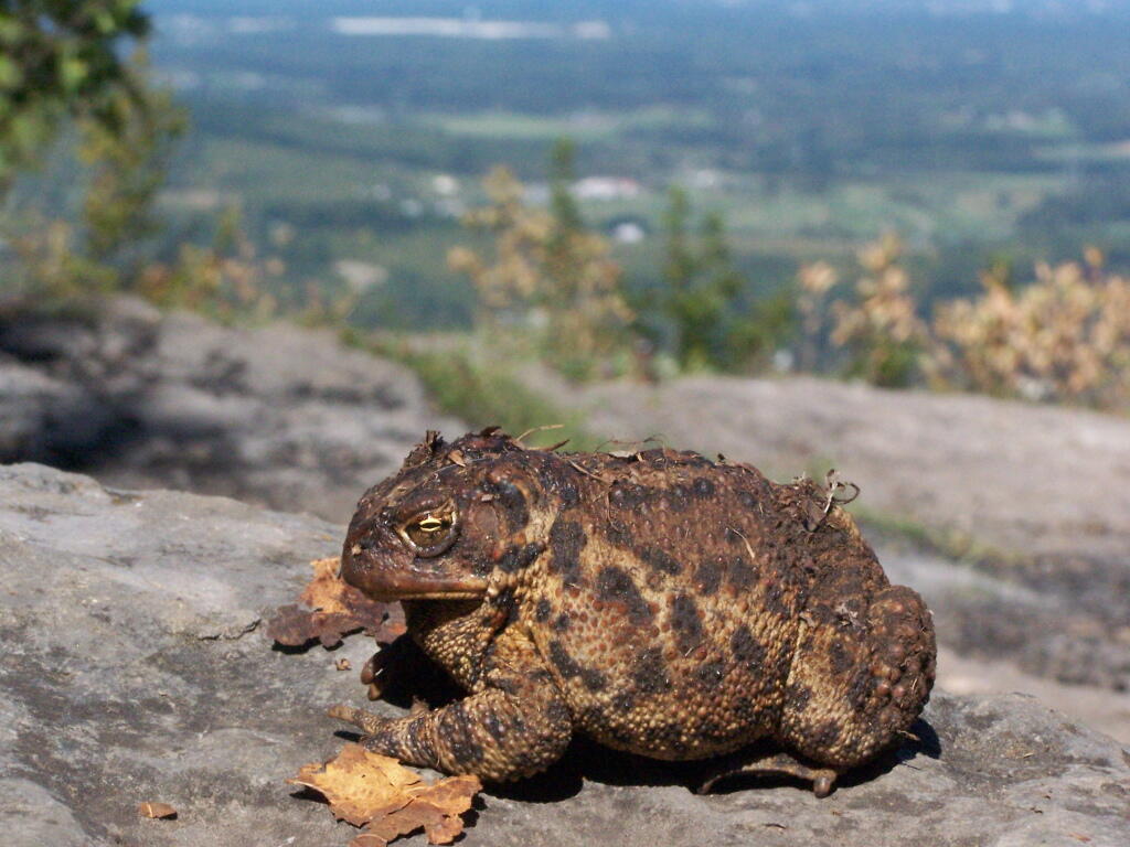
A toad sat out sunning on the rocks of High Point.
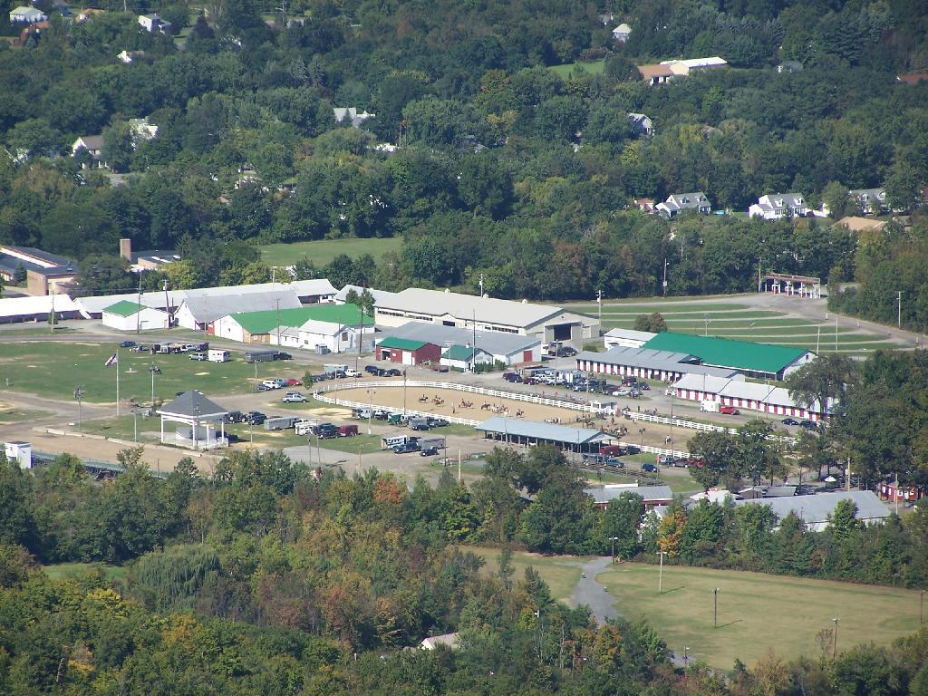
As a horse show was going on down at the Altamont Fairgrounds.
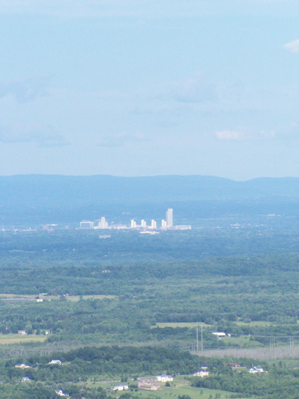
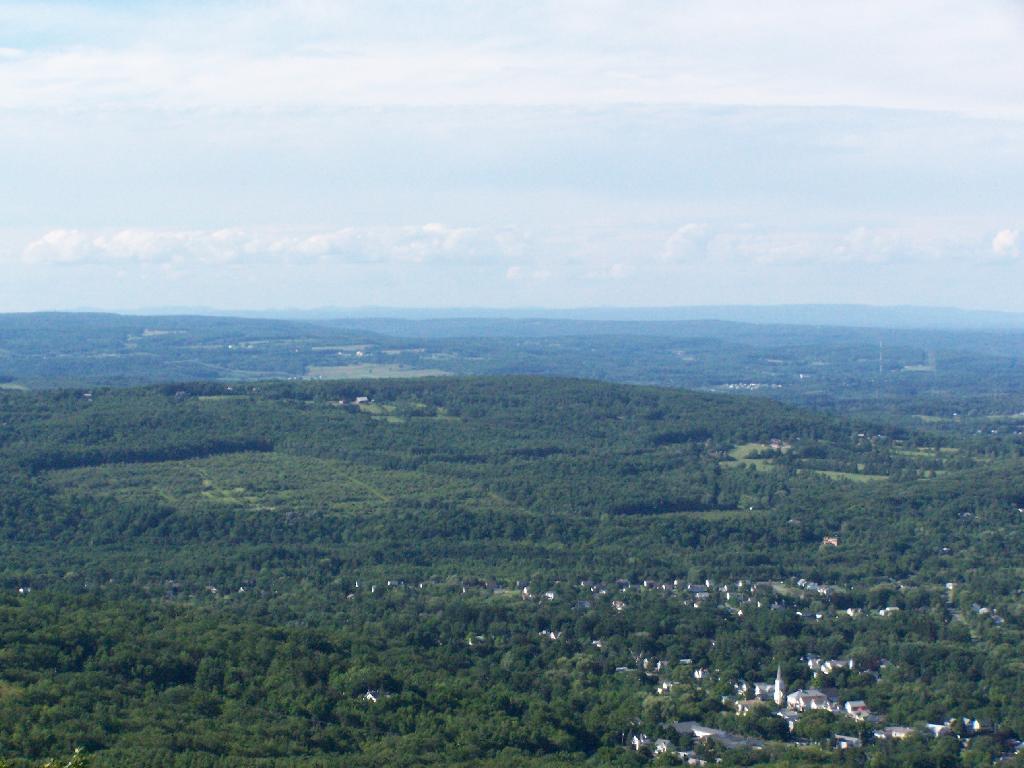
And Albany sat in mild haze, below the Taconic Range, with Berlin Mountain towering above, from Hang Gliders Cliff.
Looking at Horseshoe Clove and all that lies beyond in the distance. A little bit of fall color, but still a bit to go.
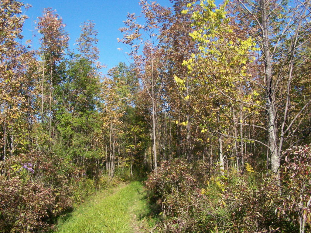
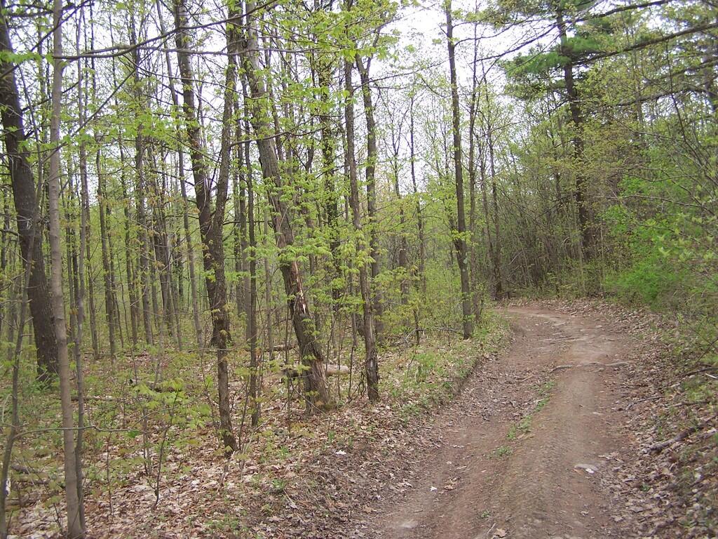
Walking along the Yellow Trail out to Whipple Road. A few signs of color along here.
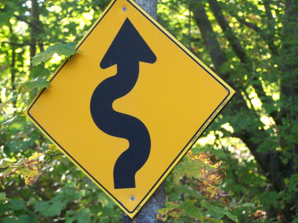
The Yellow Trail is a snowmobile trail in the winter. This sign was installed by the local snowmobile club, and is kind of unusual for a hiking trail.
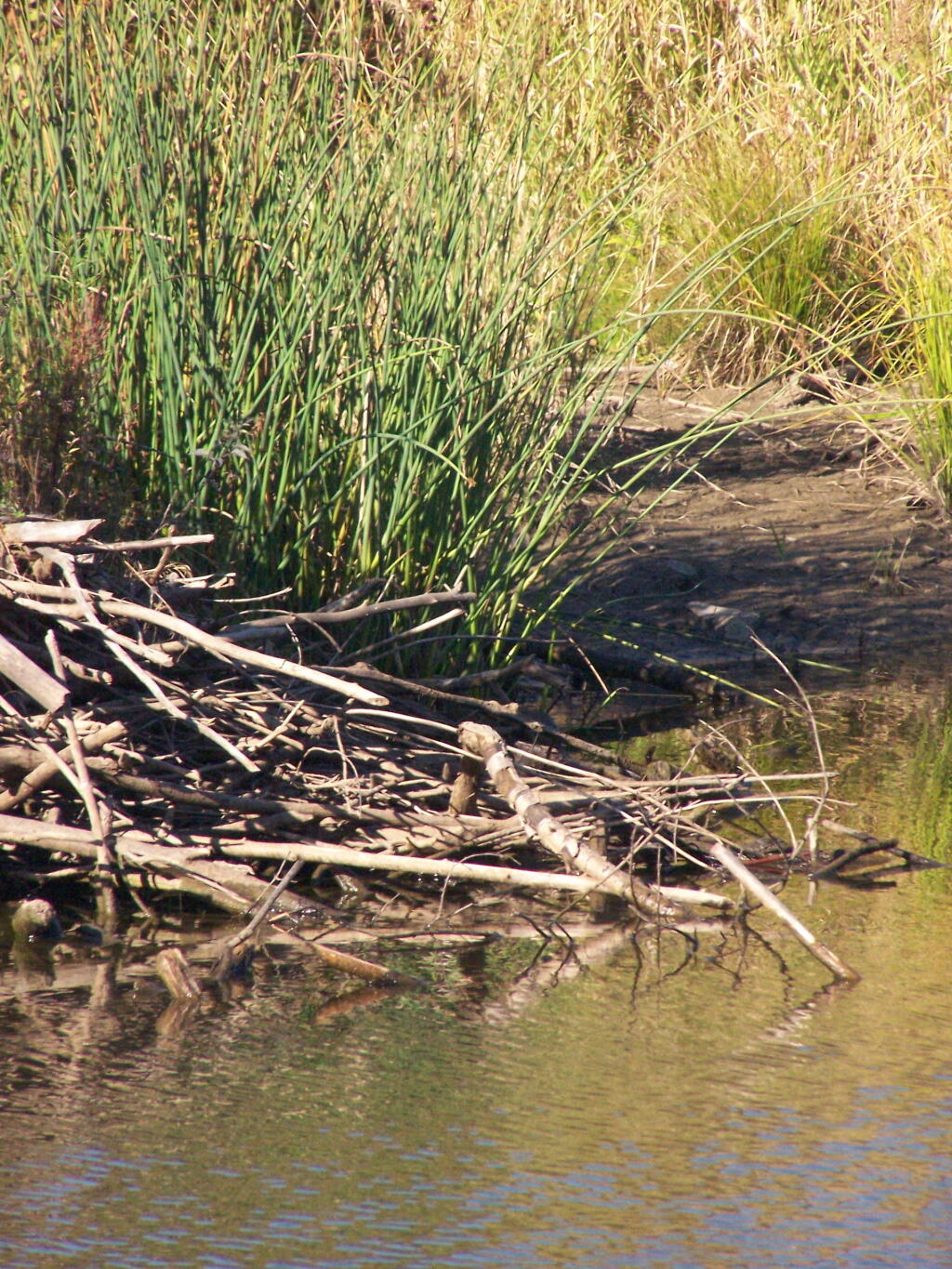
The Beaver Dam in the pond off the Red Trail from Whipple Road to Carrick Road.
… Thacher Park is not the Adirondacks or Green Mountains. It’s not the most remote parcel in the world, but it is close to Albany, offers some excellent views of the escarpment, and if you explore the OSI parcel to the north of main portion of park, it’s free to park and undeveloped and beautiful lands.
Nice Sunday afternoon. A bit cloudy, but warmish out. Decided to hike on OSI Preserve parcel as on May 1 they had already started to charge to parking at Thatcher Park. This area in many open fields and nice places for hiking, and indeed the start of the hike was quite enjoyable.
I was quite surpised on how there where many new trails now open in the OSI preserve, including trails to both High Point and Hang Glider’s Point. High Point previously was privately owned, but was purchased by OSI.
Both points had great views of Altamont and towards Schenectady, which was drowned in haze.
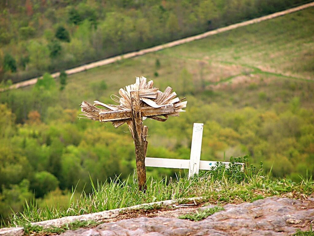
These crosses where at Hang Glider’s Point. Sad. Who died here? Why? Suicide? I’m sure somebody will write about the tragic story.
The trails are all well labeled, escape for an unmarked, but well maintained trail along the edge of the Escarptment, which you can see I took from High Point to Hang Glider’s Cliff. That escarpment trail was close to the edge in many places, but perfectly safe to watch.
It was raining in Albany.
More about these these beautiful lands.
Parked at trail head on Ryan Rd. Hiked via. Yellow Trail to Carrick Road. Took Hang Glider Rd along with White Trail to Long Path. Took Long Path north to Red Trail. To Red Trail to Escarpment. Took Unmarked Escarpment Trail to High Point. Took Long Path to Red Trail. Took Red Trail back to Escarpment. Took Unmarked Escarpment Trail to Hang Glider’s Cliff. Took Hang Glider Road to Carrick Road to Yellow Trail to Ryan Road trail head.
Hikers – Carrick Road Trailhead
Red Balloons – Overlooks
Red Trail – Hike on May 3, 2008