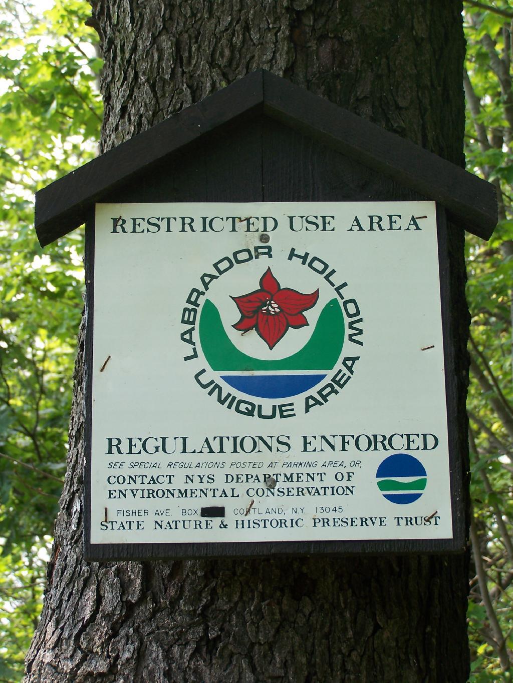
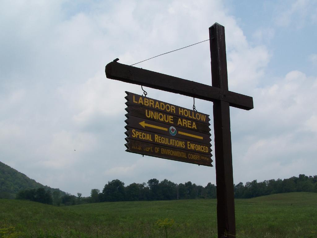
Labrador Hollow is a deep valley surrounded by large hills on both sides. It’s located on the border of Fabius in Ondondoga County (south of Syracuse), and Truxton in Cortland County.
At Labrador Hollow, there are three places you will want to check out:
- Labrador Pond
- Jones Hill Hang Gliders Cliff
- Tinker Falls
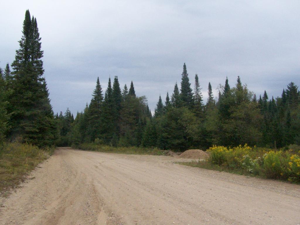
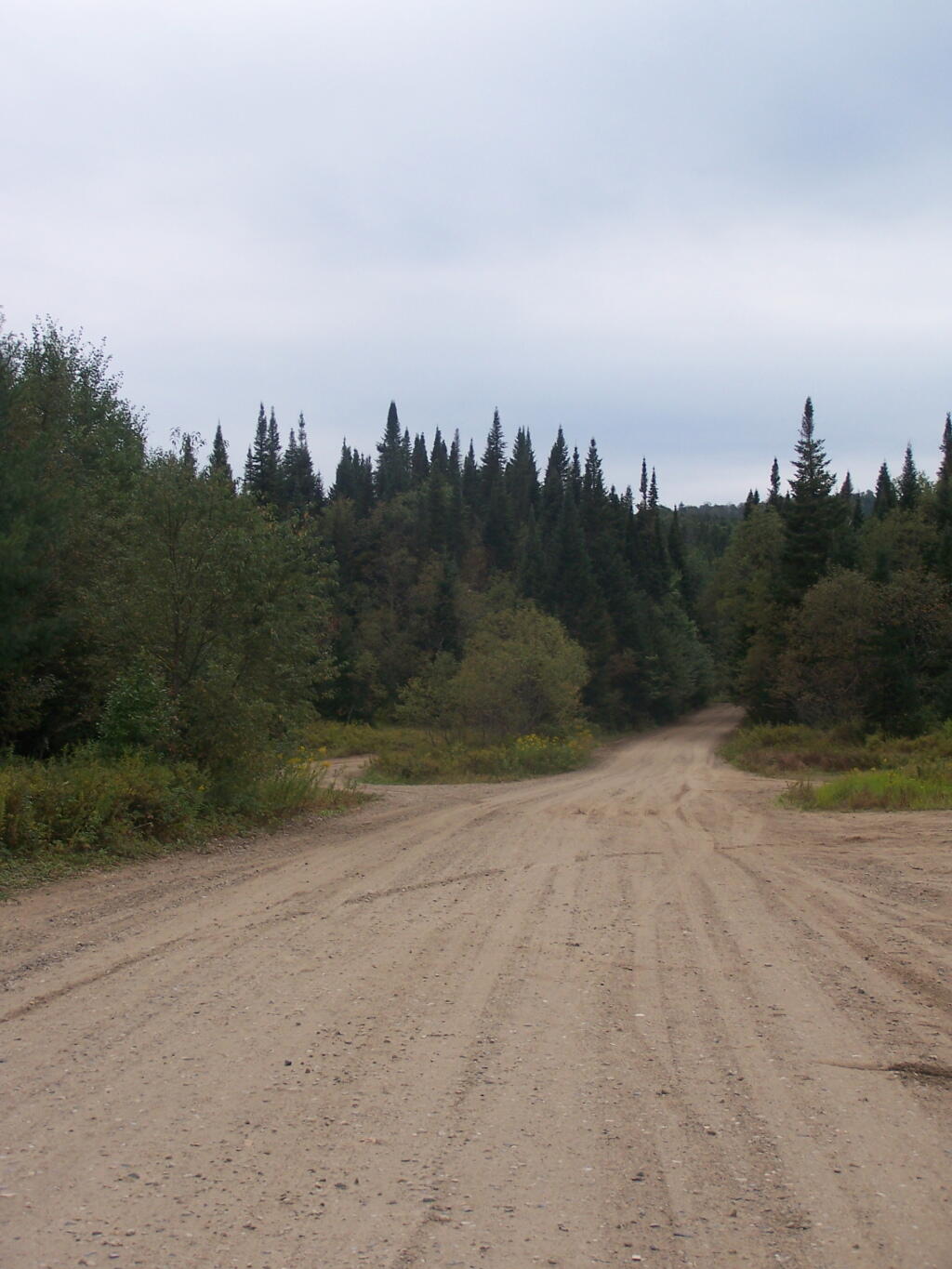
There are plenty of signs to guide you to the Labrador Hollow Parking area by the pond.
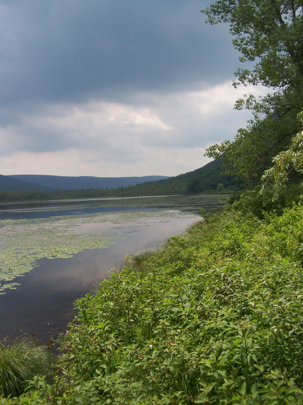
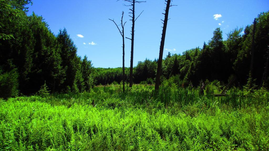
Through the marshy area, there is a 1/4 mile board walk which provides up close and personal views to the unique wildlife of the area.
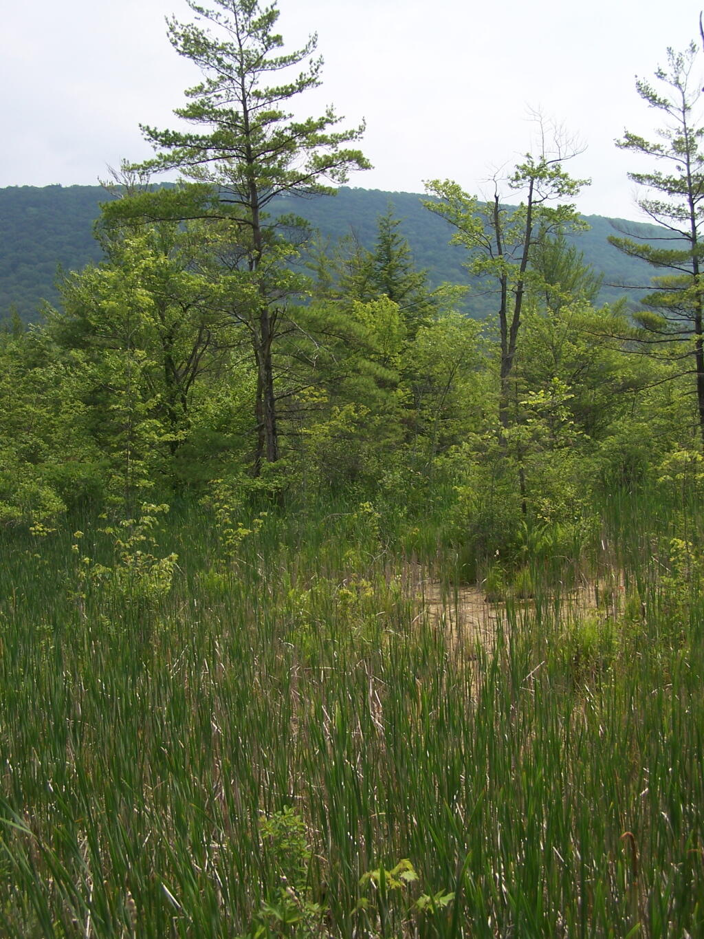
You usually don’t get a chance to be right up in a marsh like this, unless your deep in the mud with your boots, or it’s less grown up and you could paddle a canoe or kyack. So despite being a little out of place, it does give you a unique experience.
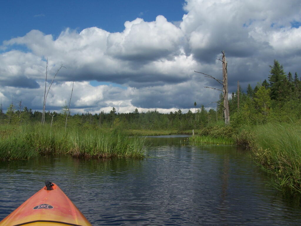
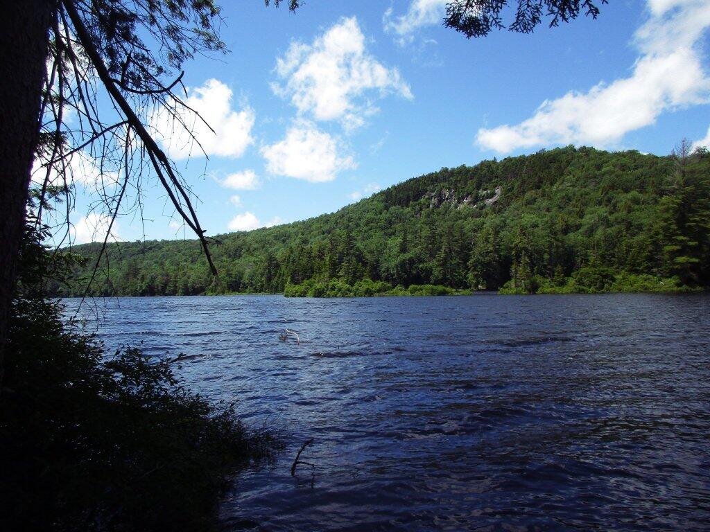
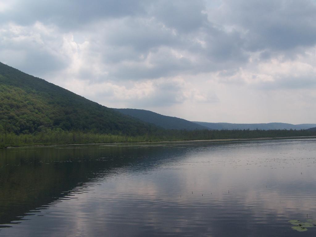
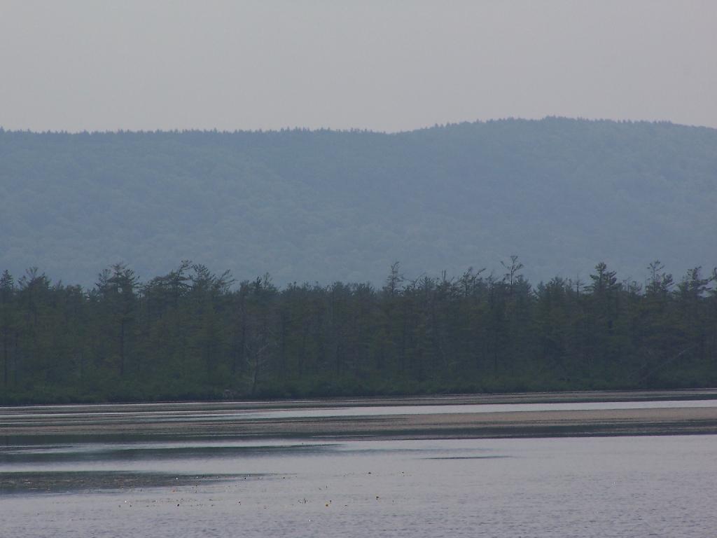
Looking at Labrador Pond through the marshlands.
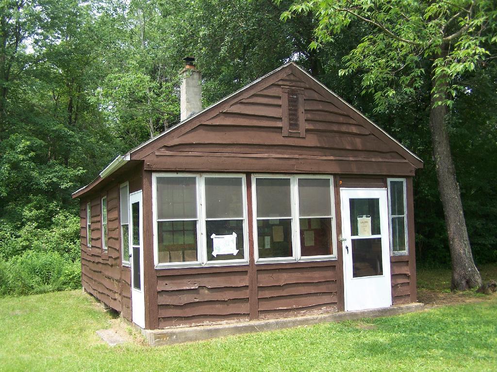
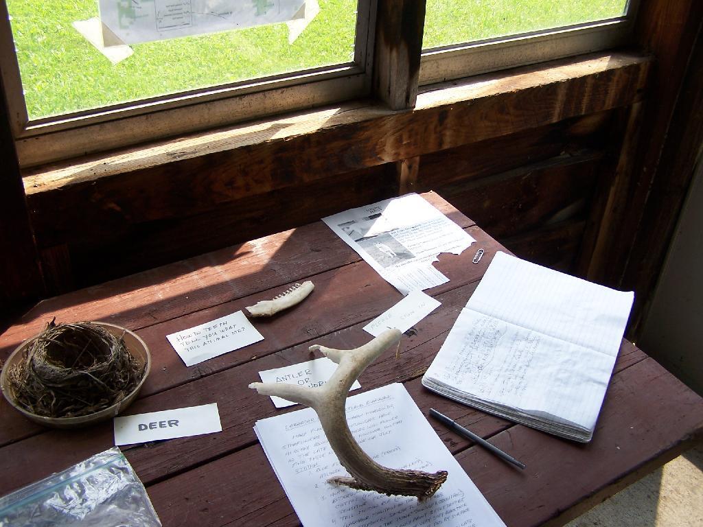
There used to be a firetower on Jones Hill, which is now a nature center down by Labrador Pond.
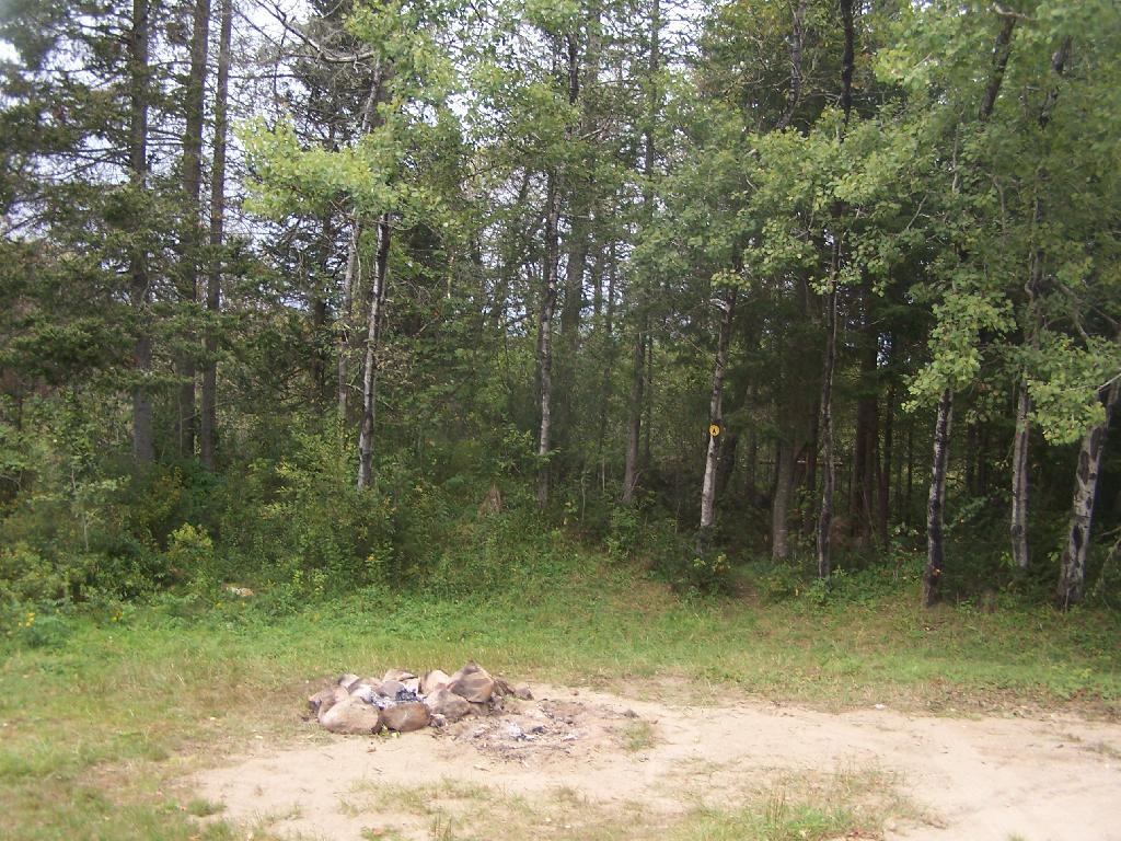
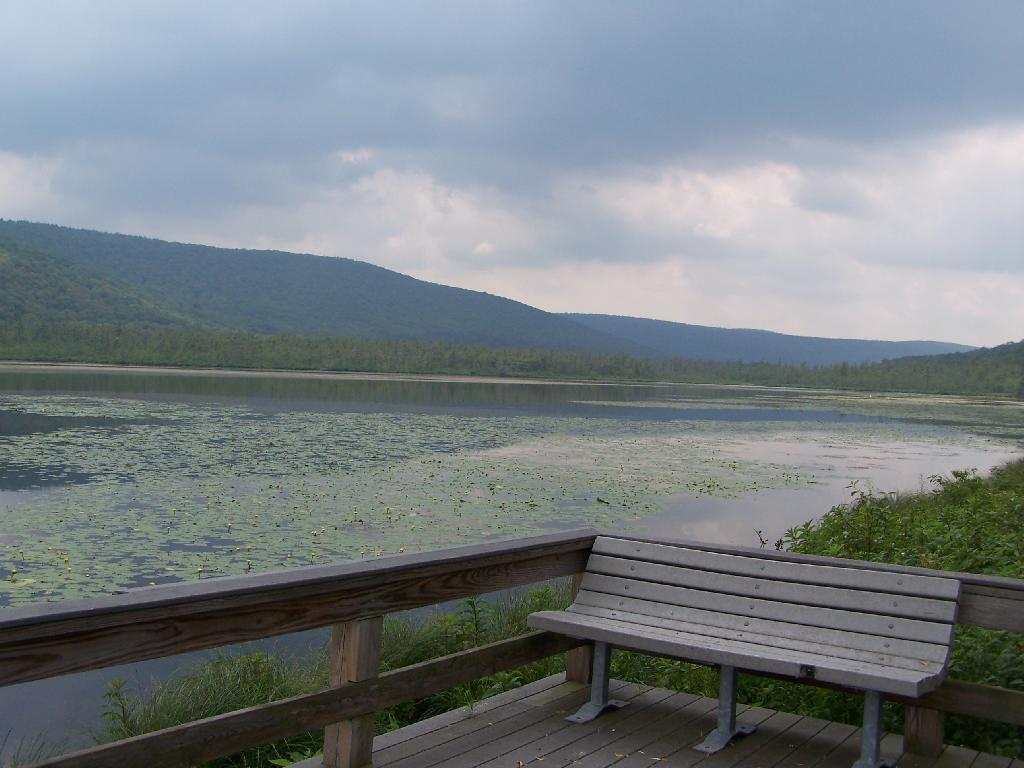
An open section is mowed, so you can sit dwon by the lake and enjoy the views.
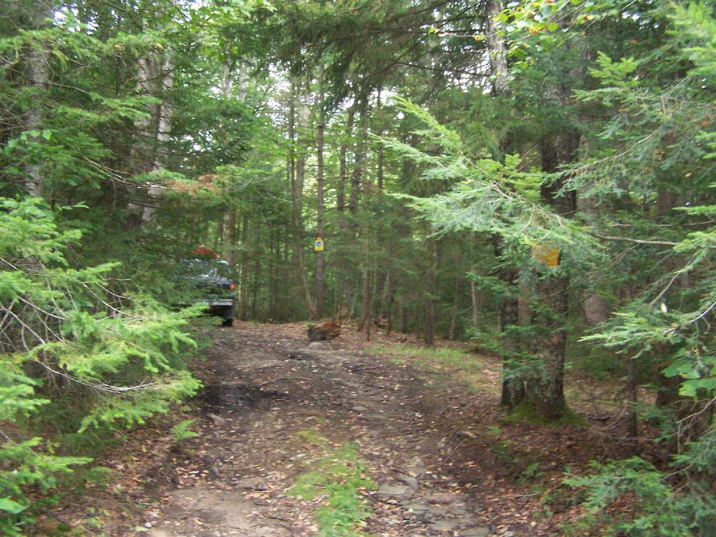
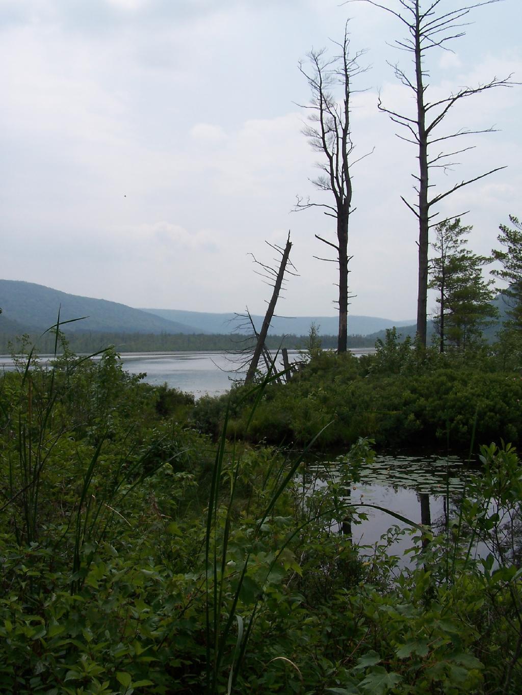
Then I drove over to the Kyack/Canoe launch for the pond, on the western side along Labarador Hill.
Besides the kyack launch, there is a series of benches and a boardwalk that extend out into the lake.
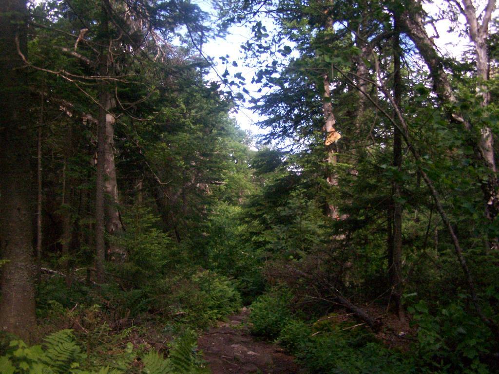
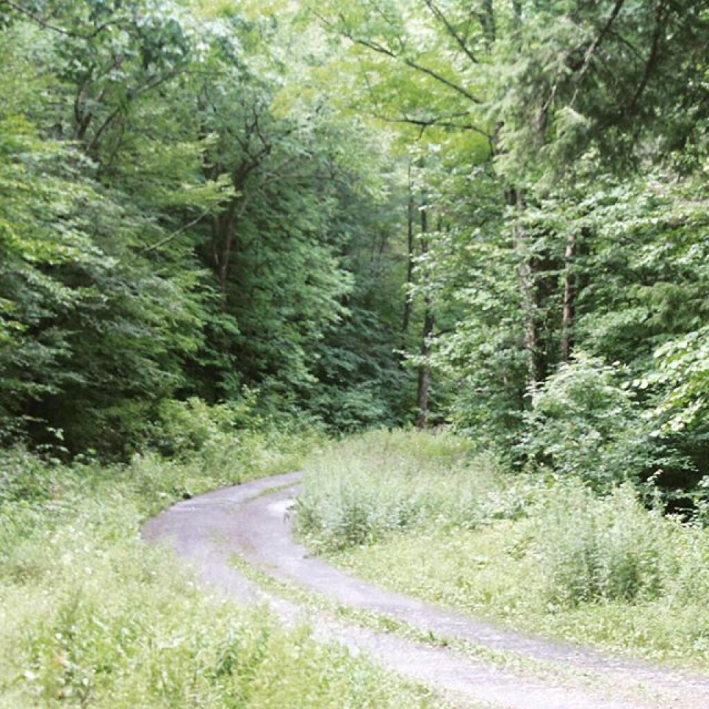
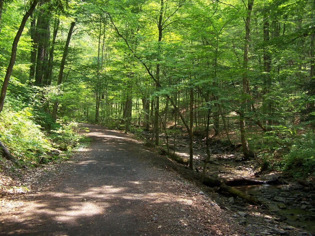
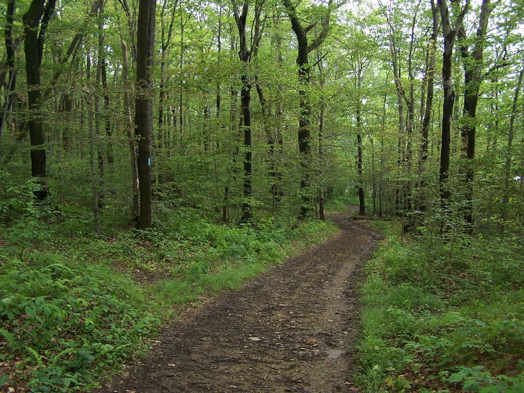
Later I drove around to the Eastern side of the lake, then hiked down to Tinker Falls, an accessiable water falls. The trail is an easy 1/4 mile walk that is only slightly inclined.
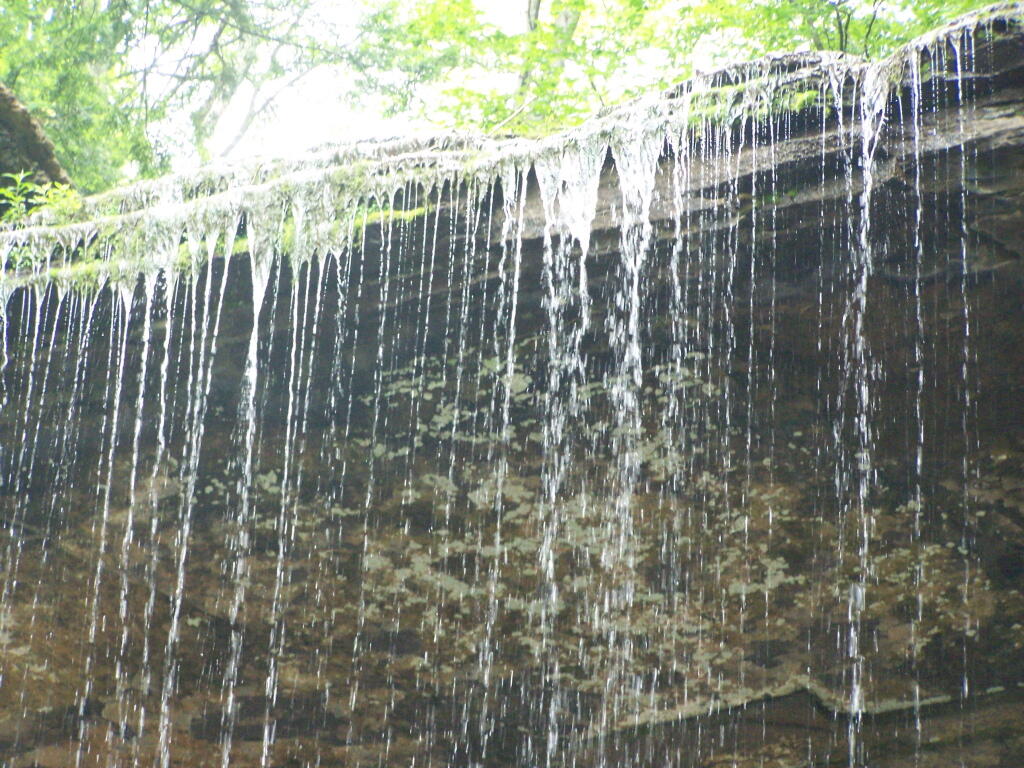
The falls aren’t big, being maybe 60 feet at the most, but they are still pretty and simple. I wouldn’t confuse it with Niagara Falls or even the Kaaterskill Falls. By afternoon, a lot of people where playing in the falls, trying to stay cool.
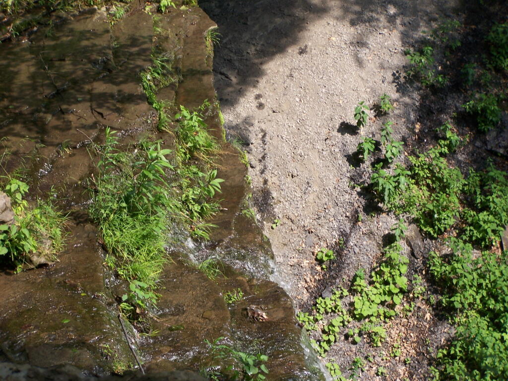
Here is the view from the top of Tinker Falls, accessed from the Finger Lakes Trail or the orange spur to the Finger Lakes Trail.
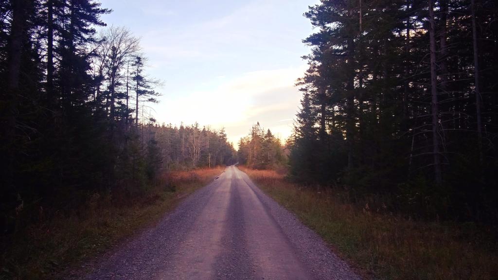
I then proceeded to hike up to the Hang Gliders launch spot by the Orange Blaze Connector trail which hooks up with the Finger Lakes Trail. This is route I took, it’s slightly longer and steeper then the old woods road route.
You can also follow the old woods road, which goes directly up to Hang Gliders spot on Jones Hill.
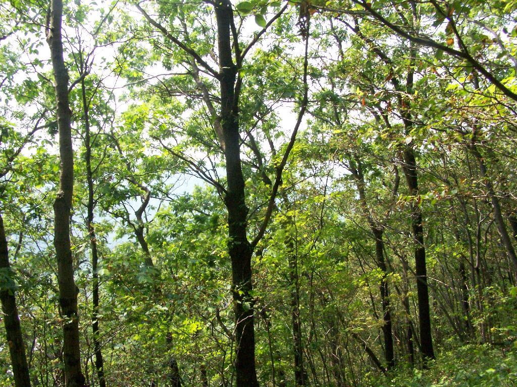
Part of the Finger Lakes Trail runs along the edge of Jones Hill, although there aren’t any real views this time of year.
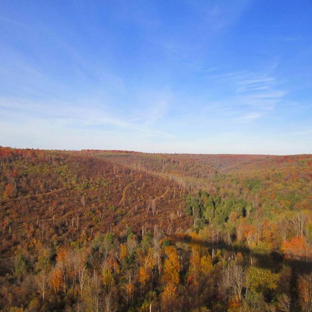
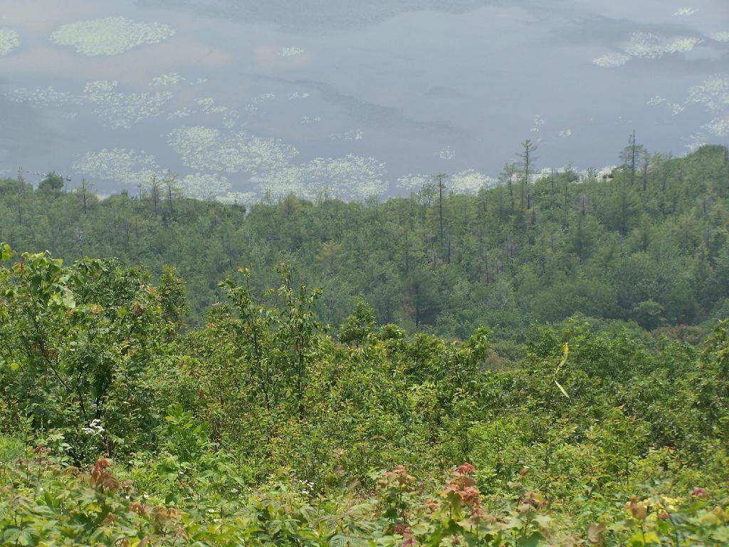
Arriving at Hang Gliders clearing. It was very hazy out, with limited views.
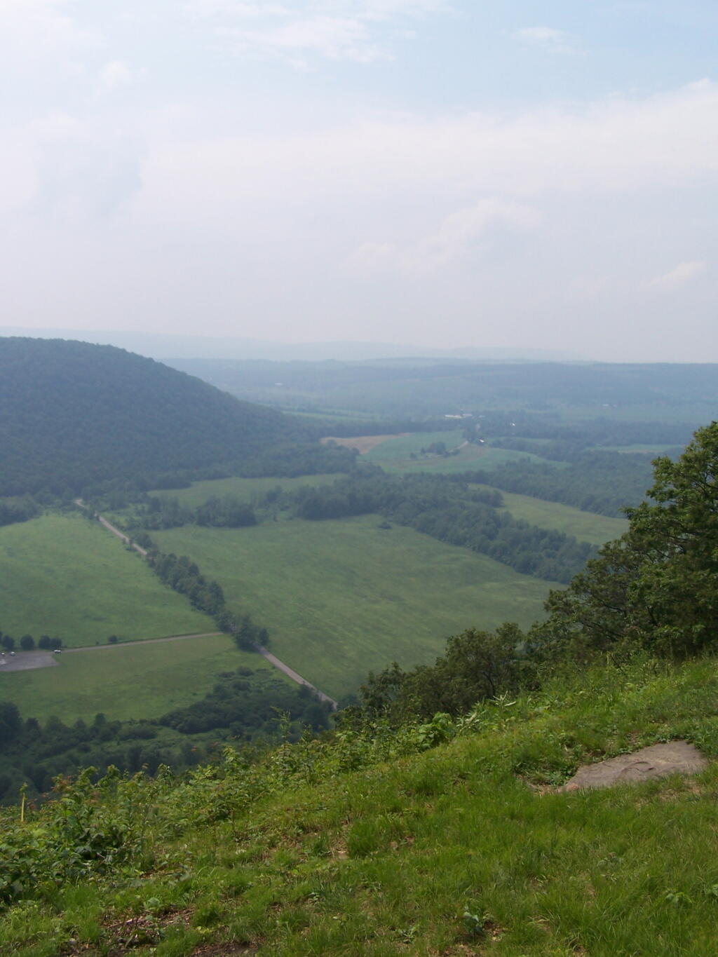
Looking down at Labrador Hollow and towards Labrador Hill.
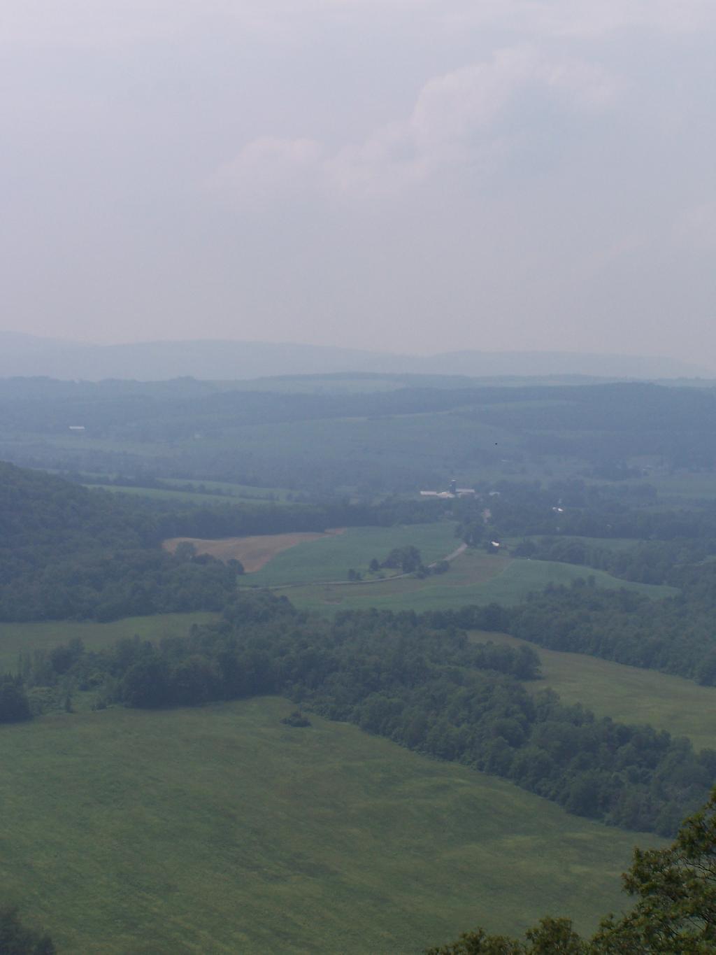
Farms in Fabius, with very poor views.
I want to come back on a clear fall day. Maybe this fall I will go back out and explore this area again in the future.
Here is a map of the hike.