Search Results for: photo icy shore

How Much Recreational Development is Allowed in the Forest Preserve?

Most people probably agree it’s not the intent of the original drafters of the state consitution to allow totally unbridled development in the forest preserve. Article XIV Section 1 of the State Constitution states:

The lands of the state, now owned or hereafter acquired, constituting the forest preserve as now fixed by law, shall be forever kept as wild forest lands. They shall not be leased, sold or exchanged, or be taken by any corporation, public or private, nor shall the timber thereon be sold, removed or destroyed. [… exceptions removed]

It’s pretty clear that on Forest Preserve lands that the following is totally inappropriate:

  • Commerical facilities, such as shopping or amusements.
  • Government facilities that are not primarily rustic in character (i.e. wooden administrative cabins and barns that lack plumbing and electricity)
  • Highly developed recreation facilities, such as large metal or concrete luge tracks, ski slopes
  • Asphalt roads, and those roads designed for movement of vehicles not exclusively for the forest preserve use, or for speeds greater then 25 MPH.

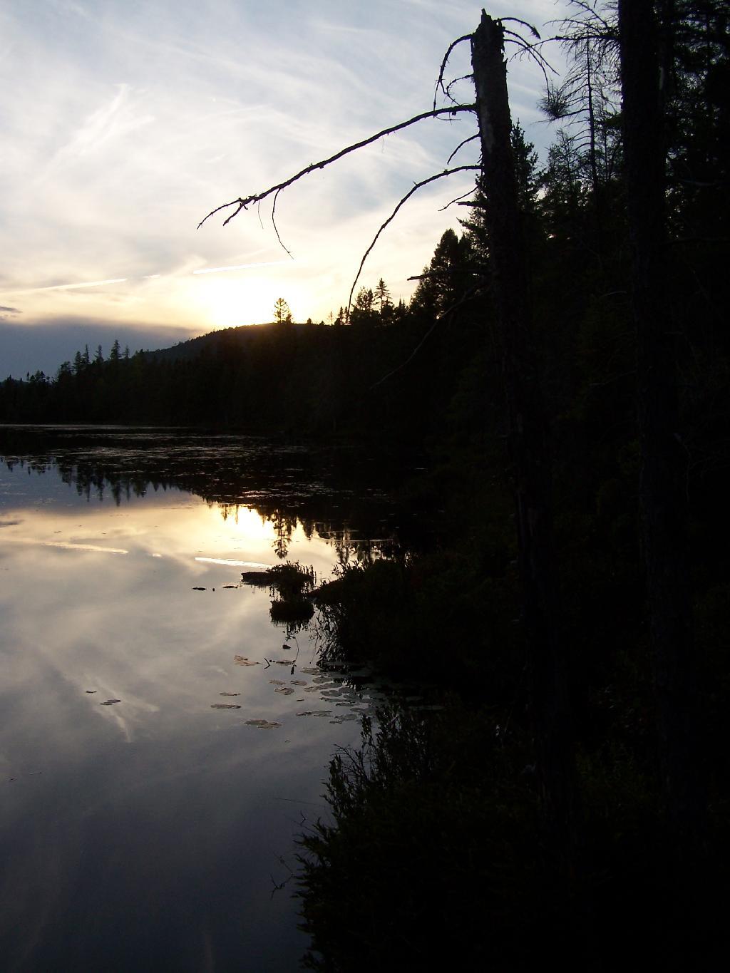
Goodnight Mr Sun

Controlling Principles Of Recreation in the Forest Preserve.

I think most people can agree forest Preserve must have an essentially wild character. Indeed, that is what the Court of Appeals upheld in Association for Protection of Adirondacks v MacDonald (253 N.Y. 234, affg 228 App Div 73, 1930), as I shared earlier this week. If you missed this earlier in the week, this case’s essence is cited in Balsam Anglers Club v. DEC (153 Misc. 2d 606, 1991).

Respondents adopted the UMP in furtherance of the Catskill Park State Land Master Plan, which was adopted in order to provide classifications and guidelines for the uniform protection and management of State-owned lands within the Catskill Forest Preserve. Under the UMP, respondents intend to construct a number of small parking areas providing access to trails and primitive campsites, to relocate certain trails to avoid private lands and to construct new trails within the Balsam Lake Mountain Wild Forest area. Since respondents must necessarily cut a certain number of seedlings, saplings and trees to complete such projects, petitioner contends that the UMP is in violation of article XIV, § 1 of the New York State Constitution. p>The Constitution provides, “[t]he lands of the state, now owned or hereafter acquired, constituting the forest preserve as now fixed by law, shall be forever kept as wild forest lands. They shall not be leased, sold or exchanged, or be taken by any corporation, public or private, nor shall the timber thereon be sold, removed, or destroyed.” Petitioner contends that the cutting of as many as 2,000 “trees”, most of which are less than three inches diameter at breast height, constitutes the removal or destruction of timber.

This specific constitutional issue has rarely been litigated. The Court of Appeals and the Appellate Division in Association for Protection of Adirondacks v MacDonald (253 N.Y. 234, affg 228 App Div 73) addressed legislation authorizing the construction of a bobsled run within the Adirondack Forest Preserve for the 1932 Winter Olympics.

The Appellate Division addressed the legislative history of the New York State Constitution and found an intent to prevent any actions “which might convert this preserve into anything but a wilderness” (228 App Div, at 79). However, the Appellate Division found that the framers of the New York State Constitution obviously distinguished between “timber” and any form of tree or wood. They quoted the framers as stating, “[a]ny campers that cannot pick up something on the shores, that will not be timber, to warm themselves with, would better either carry in their fuel or stay out” (supra, at 78). (emphasis added)

The Appellate Division also discussed the 1915 Constitutional Convention which sought to change the wording of the New York State Constitution to “trees and timber” (supra, at 79). Thereafter, the Appellate Division found that the project involved “the cutting of 2,600 trees which must unquestionably be regarded as of `timber’ size” (supra, at 82).

Based upon an 609*609 agreed statement of facts, all 2,600 trees were in excess of 3 inches diameter at breast height, 480 trees were in excess of 8 inches and 33 trees were in excess of 20 inches. The project involved total clearing of between 4 and 5 acres, some of which constituted first growth hardwoods and involved the removal of some 60,000 board feet of timber. The Appellate Division held the legislation unconstitutional based both upon the substantial destruction of timber and the nature of the proposed project.

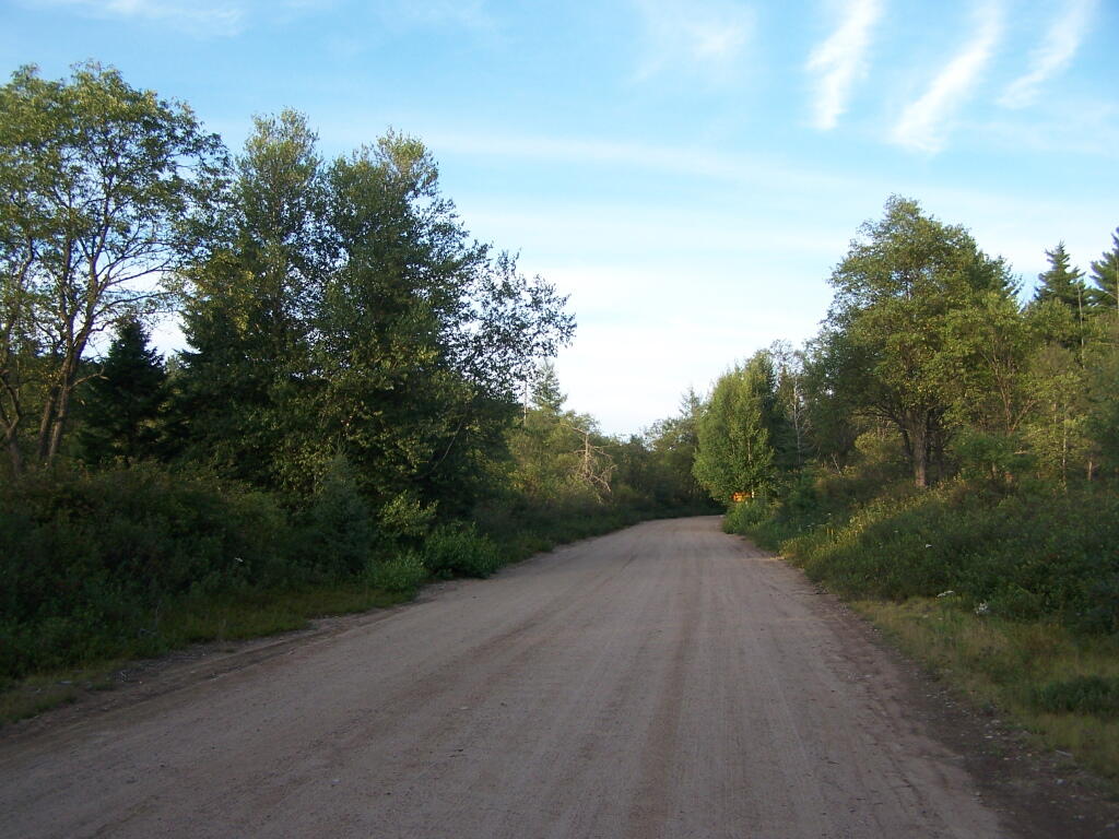
Moose River Plains Road

The citation of Helms v. Reid, 90 Misc. 2d 583 gives further incite into the Assocation for the Protection of Adirondacks vs McDonald case:

The major case interpreting the “forever wild” clause is Association for Protection of Adirondacks v MacDonald (228 App Div 73, supra). The question before that court was whether a statute passed by the Legislature providing for the construction of a bobsled run on forest preserve land and the necessary cutting of some 2,600 trees was violative of section 7 of article VII of the Constitution (presently art XIV, § 1). The Appellate Division had carefully traced the adoption of the forest preserve language and then made a careful inspection of the record from the 1894 Constitutional Convention where the “forever wild” clause language was adopted as a proposed amendment to the Constitution. The Appellate Divison concluded that the constitutional mandate was clear and in declaring the statute unconstitutional stated at page 81: “Giving to the phrase `forever kept as wild forest lands’ the significance which the term `wild forest’ bears, we must conclude that the idea intended was a health resort and playground with the attributes of a wild forest park as distinguished from other parks so common to our civilization. We must preserve it in its wild nature, its trees, its rocks, its streams. It was to be a great resort for the free use of all the people, but it was made a wild resort in which nature is given free rein. Its uses for health and pleasure must not be inconsistent 595*595 with its preservation as forest lands in a wild state. It must always retain the character of a wilderness. Hunting, fishing, tramping, mountain climbing, snowshoeing, skiing or skating find ideal setting in nature’s wilderness. It is essentially a quiet and healthful retreat from the turmoils and artificialities of a busy urban life. Breathing its pure air is invigorating to the sick. No artificial setting is required for any of these purposes. Sports which require a setting that is man-made are unmistakeably inconsistent with the preservation of these forest lands in the wild and natural state in which Providence has developed them.”

Many Downed Trees

What About Developing More Modest Recreation Facilities in Forest Preserve?

Certainly building a bob sled run would have been a massive project with visible impacts on the mountain vistas where the timber was removed, the steel infrastructure of the bob sled run, and the general changes the wild forest character. But what about more minor projects, e.g.

  • Scenic Vista Cut Along Trails
  • Primative tent campsites, along lakes, streams, or in the woods.
  • Roadside campsites with vehicular access.
  • State Campgrounds with Flush Toilets and Showers.
  • Horse stalls and horse barns.
  • Construction of hiking trails that require the cutting of brush or a de minis amount of timber.
  • Construction of snowmobile trails that potentially could involve cutting a larger amount of timber.
  • Horse trails that require the cutting of brush or a de minis amount of timber.

Moose Pond Way

The Case Law on Recreational Facilities in the Forest Preserve.

We learn in Helms v. Reid, 90 Misc. 2d 583 some of debates surrounding adoption of Article XIV Section 1 of the State Consitution, and how the Consitutional Convention of 1894 intended not to prohibit “all things necessary” to provide public access and not damage the forst preserve.

The Court of Appeals decision in MacDonald is of great importance and must necessarily be the guiding light in the analysis of the “forever wild” clause which this court must follow in rendering its opinion. At page 238 Judge CRANE states: “The words of the Constitution, like those of any other law, must receive a reasonable interpretation, considering the purpose and the object in view. (State of Ohio ex rel Popovici v. Agler, 280 U. S. 379.) Words are but symbols indicating ideas and are subject to contraction and expansion to meet the idea sought to be expressed; they register frequently according to association, or like the thermometer, by the atmosphere surrounding them. The purpose of the constitutional provision, as indicated by the debates in the Convention of 1894, was to prevent the cutting or destruction of the timber or the sale thereof, as had theretofore been permitted by legislation, to the injury and ruin of the Forest Preserve. To accomplish the end in view, it was thought necessary to close all gaps and openings in the law, and to prohibit any cutting or any removal of the trees and timber to a substantial extent.”

This language sets forth that the purpose of the “forever wild” clause was to prevent the commercial exploitation of the forest preserve which had previously been sanctioned by the Legislature, and it appears to be the court’s feeling that some cutting is permissible as long as it is not a substantial amount. Continuing on page 238: “The Adirondack Park was to be preserved, not destroyed. Therefore, all things necessary were permitted, such as measures to prevent forest fires, the repairs to roads and proper inspection, or the erection and maintenance of proper facilities for the use by the public which did not call for the removal of the timber to any material degree.”

This language indicates the court’s recognition of the fact that even though the Constitution was intended to protect and preserve our natural forest lands, such protection does not prohibit use and enjoyment of the areas by the people of the State. Such a principle is based upon the theory that the forest preserve was for the use and benefit of the people and was not to be an isolated area in which no man would wander. (People v Adirondack Ry. Co., 160 N.Y. 225, affd 176 US 335). (emphasis added)

While the Court never ruled on these matters in Helms, plantiff Herbert R. Helms cited that the State Conservation Department, made major changes and “man-made improvements” to the Adirondack Forest Preserve, over the past 50 years, many of them of questionable consitutional virtue under McDonald, abit never challenged in court.

The first cause of action in the complaint sets forth the “forever wild” clause and then lists various uses undertaken within the forest preserve in the past and present by the New York State Department of Environmental Conservation (ENCON), which the plaintiffs contend destroy the wild forest nature of the preserve because they all entail cutting significant amounts of timber and over use of the forest preserve area. The purported misuses are as follows: construction of 42 or more public campsites; dirt access roads to these campsites, along with various outbuildings, facilities, boat launchings, sewage disposal systems and the maintenance thereof; construction of hundreds of lean-tos, trails, jeep trails, fire roads 587*587 and paved roads other than those specifically authorized by the Constitution; construction and maintenance of ranger stations, fire watch towers, telephone and electrical transmission lines, as well as other utility lines; construction of boat launchings, parking lots and tent platforms; overuse and misuse of backwoods causing unreasonable widening of trails, littering and defoliation of areas, and finally allowing private individuals to adversely possess forest preserve lands to the preclusion of other citizens.

Helms cites McDonald in saying limited development and recreation is allowed in the park, as long as it’s primarily primative in nature:

“What may be done in these forest lands to preserve them or to open them up for the use of the public, or what reasonable cutting or removal of timber may be necessitated in order to properly preserve the State Park, we are not at this time called upon to determine. What regulations may reasonably be made by the Commission for the use of the park by campers and those who seek recreation and health in the quiet and solitude of the north woods is not before us in this case. The Forest Preserve and the Adirondack Park within it are for the reasonable use and benefit of the public, as heretofore stated. A very considerable use may be made by campers and others without in any way interfering with this purpose of preserving them as wild forest lands. (See `The Problem of the Wilderness’ by Robert Marshall in `The Scientific Monthly’, Feb. 1930, p. 141.)”

Cheney Pond Lean-To

Helms goes further to state:

If we assume that a constitutional amendment is not necessary for every use in the preserve which requires a cutting of timber, then we must apply our reasonableness standard to proposed uses. The question then becomes, who is to apply this standard?

It would appear that although the Constitution has deprived the Legislature of any power to authorize a cutting of timber in the forest preserve for commercial purposes, it has not deprived that body of its power with respect to public purposes. The MacDonald decision has allowed the Legislature the power to make reasonable regulations as to this public use and preservation, and such use and preservation must necessarily include some cutting of timber.

Since the Legislature still retains at least this limited authority, it may properly delegate this authority to the administrative agency best adapted to applying the principles heretofore enumerated. This is precisely what our Legislature has done by the creation of the Adirondack Park Agency. (emphasis added)

While ultimately Helms went on to decline an attempt to overturn float plane restrictions in newly designated “Wilderness” areas, first implemented by Governor Rockefeller’s Environmental Conservation Commissioner, Henry Diamond, it did include this important note:

In the discussion of the “forever wild” clause it was pointed out that the preserve was not to be closed to the public, but was to be held open for all of the public to enjoy in its natural wild state. Therefore, plaintiffs’ main theory is correct, and any regulation which arbitrarily restricts public access to or a reasonable public use of the lands in the preserve is violative of section 1 of article XIV.

Wakley Fire Tower

The principle of limited development of the Adirondack and Catskill Forest Preserve, to enhance public access was upheld most recently in Balsam Lake Anglers Club v Department of Environmental Conservation (upheld on Appeal to 2nd Appelate Division). It states:

Respondents adopted the UMP in furtherance of the Catskill Park State Land Master Plan, which was adopted in order to provide classifications and guidelines for the uniform protection and management of State-owned lands within the Catskill Forest Preserve. Under the UMP, respondents intend to construct a number of small parking areas providing access to trails and primitive campsites, to relocate certain trails to avoid private lands and to construct new trails within the Balsam Lake Mountain Wild Forest area. Since respondents must necessarily cut a certain number of seedlings, saplings and trees to complete such projects, petitioner contends that the UMP is in violation of article XIV, § 1 of the New York State Constitution.

The Constitution provides, “[t]he lands of the state, now owned or hereafter acquired, constituting the forest preserve as now fixed by law, shall be forever kept as wild forest lands. They shall not be leased, sold or exchanged, or be taken by any corporation, public or private, nor shall the timber thereon be sold, removed, or destroyed.” Petitioner contends that the cutting of as many as 2,000 “trees”, most of which are less than three inches diameter at breast height, constitutes the removal or destruction of timber.

This specific constitutional issue has rarely been litigated. The Court of Appeals and the Appellate Division in Association for Protection of Adirondacks v MacDonald (253 N.Y. 234, affg 228 App Div 73) addressed legislation authorizing the construction of a bobsled run within the Adirondack Forest Preserve for the 1932 Winter Olympics. The Appellate Division addressed the legislative history of the New York State Constitution and found an intent to prevent any actions “which might convert this preserve into anything but a wilderness” (228 App Div, at 79). However, the Appellate Division found that the framers of the New York State Constitution obviously distinguished between “timber” and any form of tree or wood. They quoted the framers as stating, “[a]ny campers that cannot pick up something on the shores, that will not be timber, to warm themselves with, would better either carry in their fuel or stay out” (supra, at 78). The Appellate Division also discussed the 1915 Constitutional Convention which sought to change the wording of the New York State Constitution to “trees and timber” (supra, at 79). Thereafter, the Appellate Division found that the project involved “the cutting of 2,600 trees which must unquestionably be regarded as of `timber’ size” (supra, at 82). Based upon an 609*609 agreed statement of facts, all 2,600 trees were in excess of 3 inches diameter at breast height, 480 trees were in excess of 8 inches and 33 trees were in excess of 20 inches. The project involved total clearing of between 4 and 5 acres, some of which constituted first growth hardwoods and involved the removal of some 60,000 board feet of timber. The Appellate Division held the legislation unconstitutional based both upon the substantial destruction of timber and the nature of the proposed project.

The Court of Appeals in affirming the Appellate Division determination rejected the absolutist argument that not even a single tree or even fallen timber or deadwood could be removed and stated that the constitutional provision must be interpreted reasonably. “[A]ll things necessary were permitted, such as measures to prevent forest fires, the repairs to roads and proper inspection, or the erection and maintenance of proper facilities for the use by the public which did not call for the removal of the timber to any material degree. The Forest Preserve is preserved for the public; its benefits are for the people of the State as a whole. Whatever the advantages may be of having wild forest lands preserved in their natural state, the advantages are for every one within the State and for the use of the people of the State. Unless prohibited by the constitutional provision, this use and preservation are subject to the reasonable regulations of the Legislature” (supra, 253 NY, at 238-239). It is thus clear that the Court of Appeals determined that insubstantial and immaterial cutting of timber-sized trees was constitutionally authorized in order to facilitate public use of the forest preserve so long as such use is consistent with wild forest lands.

With respect to the relocation of the Hardenberg Neversink Trail challenged herein, petitioner contends that the amount of cutting is of constitutional dimension. The relocated trail is in excess of two miles long and is approximately six feet wide. With the trail approximately 80% completed, 73 trees of timber size, that is three inches or more, have been cut, including one nine-inch tree and one six-inch tree which was dead. The remaining trees are three, four or five inches in diameter. It is estimated by the court that the entire cutting, including trees not of timber size, that is, less than three inches, amounts to little more than one cord of firewood. The great majority of such cutting will be completely decomposed within a few years leaving no trace of their existence but 610*610 providing increased growth opportunity for the remaining trees in the forest.

It is therefore determined the amount of vegetation, seedlings, saplings and timber-sized trees destroyed so far in the construction of the relocated Hardenberg Neversink Trail is not constitutionally prohibited, nor is the number of trees planned to be removed to complete such relocation. While the actual route for the Millbrook Ridge Trail has not been chosen and it is not known how many trees, saplings, seedlings and other vegetation must be destroyed, it may be presumed that the Department of Environmental Conservation, pursuant to its regulations concerning the construction of trails and the destruction of trees and timber, will comply with the provisions of the New York State Constitution. In the event that the Department of Environmental Conservation does not comply, petitioner could certainly challenge the specific trail route or construction techniques at an appropriate time.

Petitioner also contends that the construction of new trails in the Balsam Lake Mountain Wild Forest area violates that portion of the New York State Constitution which requires that forest preserve lands “be forever kept as wild forest lands”, arguing that new trails will increase human activity, thereby necessarily making such areas less wild. Based upon the decisions of the Appellate Division and Court of Appeals in Association for Protection of Adirondacks v MacDonald (supra), it appears that the framers of the New York State Constitution intended not to prevent or hinder public use of the forest, but to allow forested areas to revert to their natural or wild state without human interference with the natural succession of different types of trees, selective cutting or thinning to “improve” the timber, or the harvesting of any mature timber. There is no indication of any intent to maintain the forest in an “absolutely” wild state with no organized human alteration or intervention at all.

The Court of Appeals specifically held that facilities consistent with the nature of the forest preserve could be constructed for the use by the public, including camping and hiking. Such use facilitated by the construction of new trails or increasing parking and camping areas will almost certainly degrade the pristine quality of certain areas of the forest preserve. While it may be desirable to initiate a policy to refrain from actions which will have the effect of increasing human activity, such issues are not of constitutional dimension unless significant cutting of timber is involved. Accordingly, it is declared that the Unit Management Plan adopted for the Balsam Lake Mountain Wild Forest area does not violate the provisions of article XIV of the New York State Constitution.

Towards Indian Lake

What is the Standard Held This Cases?

Over the years, the courts have created a certain principles on recreation facilities in Adirondacks. Distilled down, one can probably agree that courts in NY State hold:

  • Any project to be constructed in forest preserve must cut as few trees as possible, particularly of timber-grade trees, those larger then 3″ in diameter. Any project requiring significant timber cuts are unconstitutional.
  • There is a clear preference towards development of facilities in natural meadows and brushy areas, locating paths, trails, and roads on existing old woods road rather then cutting new roadways or trails through the woods.
  • Limited timber cutting is allowed for essentially wild forest purposes, such as campsites and trail location. It must be as limited as practical.
  • Any developed facilities must be rustic in nature (wood, painted brown), and must exist solely to complement forest preserve uses such as primative camping, hiking, hunting and fishing.
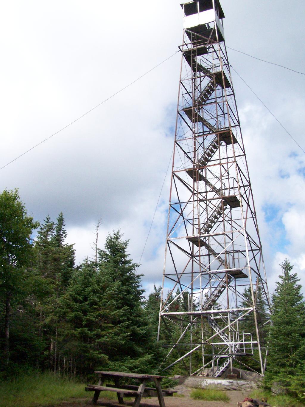
  • Intensive use areas are allowed, such as developed state campgrounds or firetowers, but they can not change the forest character or require the excessive removal of timber.
Tiny Roadside Campsite

… the courts have sought a balance between recreational demands and keeping the primarily wild nature of forests wild.

Camping Areas in Central Adirondacks β›Ί

Cascade Lake – Scenic lake known for Cascade Falls, about a 1/4 mile north of the lake outside of Big Moose and Inlet. Tent campsites that are about a mile back from the road.

Eatonville Road and Otter Creek Area – Otter Creek State Forest and the portion of Independence River Wild Forest that is home to Confusion Flats, is a popular place for equestrians, but the Eatonville Road area is set aside for those who don’t have horses but want to explore the mix of sandy hills that make up the Western Adirondacks.

Francis Lake – If your looking for a campsite you can paddle to on a lake that isn’t so choppy or large near Stillwater Reservoir, consider camping at Francis Lake. Parking is on the shoulder of Number 4 Road outside of Lowville, there also is two designated handicap sites here.

Lester Flow and Cheney Pond – Scenic lake that is popular for paddling. The 1/2 mile road down from Boreas Road as of June 2020 is closed due to washouts. Tent sites exist along the lake, along with one drive-to site on the road down there. No cell service.

Independence River Wild Forest – Not only is there dozens of boat-only sites along Stillwater Reservoir, consider camping on Smith Road or Basket Factory Road which have numerous sites. Cell services is limited, good at certain sites, especially Smith Road Number 1 (Old Firetower Site).

Mason Lake – Small lake located about 10 miles north of Speculator and 5 miles south of Lewey Lake that has several tent and drive-in campsites along it’s shore. Good to fair cell service here. Nice to hear loons, one of the best bass ponds in the area.

Moss Lake – Scenic sandy lake outside of Big Moose/Inlet in the Western Adirondacks. The lake is ringed by an old carriageway and is a popular place to camp and paddle. There is a sign in / peg board when you get to the lake’s parking area to know which sites are available.

Moose River Plains – The state’s largest wilderness drive-to camping area, with over 150 campsites spread out over 35 miles of dirt road.

Northwood Club Road – In Minerva, this road crosses the Boreas River and has several roadside campsites, and passes by Huntley Pond, the NL Tahawus Railroad (which can be hiked to the Boreas River at Hudson River), and the Blue Ledges on the Hudson trailhead. No cell service.

Vanderwhacker Road -Five or six campsites exist along Vanderwhacker Road, which can be muddy in the spring and icy in late autumn. Additional designates campsites exist near where NY 28N crosses the Vanderwhacker River. Near the trail to the Vanderwhacker Firetower, No cell service.

Woodhull Lake Reservoir – Off of NY 28 in McKeevers, about 10 miles south of Old Forge. Not only is this beautiful reservoir to paddle, there are some campsites along the shore, with drive-to campsites along Wolf Lake Landing Road which leads to it. Part of Wolf Lake Landing Road is erroded, but other parts are fresh stone-dust. It’s remote wilderness but there good cell service in mcuh of the area.

Camping Areas in Southern Adirondacks

Camping Areas in Southern Adirondacks β›Ί

East Branch of Sacanadaga River, NY 8 – Roughly 10 campsites along NY 8. These are easily accessed throughout the year, as the road is plowed except when the snow banks are high during the winter. East Branch is not good for fishing due to wide variance in water levels, however there are some nice pools in sections of river for summer swimming. Lots of road noise. Some of the sites have cell service. Nearby locations include Cod Pond, East Branch Trail and Kibby Pond Trail.

Edick Road – There are a handful of very hidden campsites off of Edick Road. This road may be closed to vehicles due to wash outs autumn 2019, but worth a walk to explore this area.

Fawn Lake – A 1/2 mile hike back to a scenic lake ringed by primitive campsites outside of Lake Pleasant. Two miles beyond it is the scenic Willis Vly, which doesn’t have developed campsites but it’s remote wilderness where you might see a Moose or other wildlife.

Garnet LakeTent sites, some with drive-up access along the lake. No cell service, much of the upper road here is not maintained in the winter. Popular in the summer, no cell service.

Good Luck Lake – Scenic lake off of the West Branch Sacanadaga River that is ringed with tent sites that can be walked in from the Good Luck Lake parking area area or paddled in.

Hope Falls Road – Two or three campsites along the end of Hope Falls Road, some are drive-in only tent sites. Near the Tenant Creek Falls Trail. No cell service. Open June to autumn snowfall.

Harrisburg Road – There is a set of very rustic designated campsites along the rough Harrisburg Road past Harrisburg Lake. Somewhat near Crane Mountain, a couple mile hike to and Wilcox Lake. No cell service.

Lester Flow and Cheney Pond – Scenic lake that is popular for paddling. The 1/2 mile road down from Boreas Road as of June 2020 is closed due to washouts. Tent sites exist along the lake, along with one drive-to site on the road down there.

Mason Lake – Small lake located about 10 miles north of Speculator and 5 miles south of Lewey Lake that has several tent and drive-in campsites along it’s shore. Good to fair cell service here. Nice to hear loons, one of the best bass ponds in the area.

North Lake Reservoir – There are roughly 15 campsites on the east shore of North Lake Reservoir. Popular place in the summer, regularly staffed by conservation students. Noise from motorboats. No cell service. Nice if you want to camp right on water, hear loons at night..

Northwood Club Road – In Minerva, this road crosses the Boreas River and has several roadside campsites, and passes by Huntley Pond, the NL Tahawus Railroad (which can be hiked to the Boreas River at Hudson River), and the Blue Ledges on the Hudson tailhead.

Perkins Clearing – Conservation easement lands. Good to fair cell service here. Great place for hunting and wildlife observation as it’s mixed timber country. Near Mason Lake, Speculator, Pillsbury Mountain and Cedar Lakes.

Piseco-Powley Road – A dozen campsites along a 13 mile road with short hikes including Big Alderbed, House Pond, Sand Lake and the popular Potholers/Brayhouse Brook waterfall for swimming. As of June 2020, road is closed in Stratford/Fulton County portion, road is open north of Potholers/Brayhouse Brook (access via Piseco). Very limited cell service here.

Pumpkin Hollow Road – Three campsites above Willis Lake. Remote country except for the site on Willis Lake, no cell service. On the Willis – Wilcox Lake Trail. Very quiet area. Open June to autumn snowfall. No cell service here.

Rockwood State Forest – Three campsites along the end of Church Road which can be accessed by driving past the cemetery in the hamlet. Scenic lake, good fishing. Cell service available, but bring a trash bucket and gloves as litter can be a problem. Nice trails to stroll around in the old Rockwood Estate.

Stewart Landing – There are four campsites on a rough road that loops off of Stewart Landing Road. Popular area in the summer, Canada Lake is great for paddling and informal swimming. Also consider hiking back to Hilderbrandt Vly and Glassgow Lake from here. Moderate to poor cell service here.

Vanderwhacker Road -Five or six campsites exist along Vanderwhacker Road, which can be muddy in the spring and icy in late autumn. Additional designates campsites exist near where NY 28N crosses the Vanderwhacker River. Near the trail to the Vanderwhacker Firetower, No cell service.

White House, Wells – A grouping of 5 or 6 campsites at the end of White House in West River Road. Scenic area, old camp, with fields and a chimney. Campsites are kind of close together, not a wilderness experience. Near the North Country Placid Trail, lots of blueberries in mid-summer. No cell service. Open June to autumn snowfall.

Woodhull Lake Reservoir – Off of NY 28 in McKeevers, about 10 miles south of Old Forge. Not only is this beautiful reservoir to paddle, there are some campsites along the shore, with drive-to campsites along Wolf Lake Landing Road which leads to it. Part of Wolf Lake Landing Road is erroded, but other parts are fresh stone-dust. It’s remote wilderness but there good cell service in mcuh of the area.

Article XIV (Conservation) of NY State Constitution

As amended by the voters on November 5, 2013.

Section 1: Forest preserve to be forever kept wild; authorized uses and exceptions.

The lands of the state, now owned or hereafter acquired, constituting the forest preserve as now fixed by law, shall be forever kept as wild forest lands. They shall not be leased, sold or exchanged, or be taken by any corporation, public or private, nor shall the timber thereon be sold, removed or destroyed.

Snowy Mountain

Exception 1:
Adirondack Northway.

Nothing herein contained shall prevent the state from constructing, completing and maintaining any highway heretofore specifically authorized by constitutional amendment, nor from constructing and maintaining to federal standards federal aid interstate highway route five hundred two from a point in the vicinity of the city of Glens Falls, thence northerly to the vicinity of the villages of Lake George and Warrensburg, the hamlets of South Horicon and Pottersville and thence northerly in a generally straight line on the west side of Schroon Lake to the vicinity of the hamlet of Schroon, then continuing northerly to the vicinity of Schroon Falls, Schroon River and North Hudson, and to the east of Makomis Mountain, east of the hamlet of New Russia, east of the village of Elizabethtown and continuing northerly in the vicinity of the hamlet of Towers Forge, and east of Poke-O-Moonshine Mountain and continuing northerly to the vicinity of the village of Keeseville and the city of Plattsburgh, all of the aforesaid taking not to exceed a total of three hundred acres of state forest preserve land, …

Exception 2:
State-owned Ski Resorts Bellayre and Gore Mountain.

… nor from constructing and maintaining not more than twenty-five miles of ski trails thirty to two hundred feet wide, together with appurtenances thereto, provided that no more than five miles of such trails shall be in excess of one hundred twenty feet wide, on the north, east and northwest slopes of Whiteface Mountain in Essex county, nor from constructing and maintaining not more than twenty-five miles of ski trails thirty to two hundred feet wide, together with appurtenances thereto, provided that no more than two miles of such trails shall be in excess of one hundred twenty feet wide, on the slopes of Belleayre Mountain in Ulster and Delaware counties and not more than forty miles of ski trails thirty to two hundred feet wide, together with appurtenances thereto, provided that no more than eight miles of such trails shall be in excess of one hundred twenty feet wide, on the slopes of Gore and Pete Gay mountains in Warren county, …

Exception 3:
Realignment of Certain State Highways in Adirondacks,
Namely Route 9, Route 73, Route 28, and Route 30.

… nor from relocating, reconstructing and maintaining a total of not more than fifty miles of existing state highways for the purpose of eliminating the hazards of dangerous curves and grades, provided a total of no more than four hundred acres of forest preserve land shall be used for such purpose and that no single relocated portion of any highway shall exceed one mile in length.

Exception 4:
Saranac Lake Town Dump Land Exchange.

Notwithstanding the foregoing provisions, the state may convey to the village of Saranac Lake ten acres of forest preserve land adjacent to the boundaries of such village for public use in providing for refuse disposal and in exchange therefore the village of Saranac Lake shall convey to the state thirty acres of certain true forest land owned by such village on Roaring Brook in the northern half of Lot 113, Township 11, Richards Survey.

Exception 5:
Piseco Airport, Part I, Land Exchange.

Notwithstanding the foregoing provisions, the state may convey to the town of Arietta twenty-eight acres of forest preserve land within such town for public use in providing for the extension of the runway and landing strip of the Piseco airport and in exchange therefor the town of Arietta shall convey to the state thirty acres of certain land owned by such town in the town of Arietta.

Exception 6:
Moose River Plains and International Paper Land Exchange.

Notwithstanding the foregoing provisions and subject to legislative approval of the tracts to be exchanged prior to the actual transfer of title, the state, in order to consolidate its land holdings for better management, may convey to International Paper Company approximately eight thousand five hundred acres of forest preserve land located in townships two and three of Totten and Crossfield Purchase and township nine of the Moose River Tract, Hamilton county, and in exchange therefore International Paper Company shall convey to the state for incorporation into the forest preserve approximately the same number of acres of land located within such townships and such County on condition that the legislature shall determine that the lands to be received by the state are at least equal in value to the lands to be conveyed by the state.

Exception 7:
Sagamore Insitute Land Exchange.

Notwithstanding the foregoing provisions and subject to legislative approval of the tracts to be exchanged prior to the actual transfer of title and the conditions herein set forth, the state, in order to facilitate the preservation of historic buildings listed on the national register of historic places by rejoining an historic grouping of buildings under unitary ownership and stewardship, may convey to Sagamore Institute, Inc., a not-for-profit educational organization, approximately ten acres of land and buildings thereon adjoining the real property of the Sagamore Institute, Inc. and located on Sagamore Road, near Racquette Lake Village, in the Town of Long Lake, county of Hamilton, and in exchange therefor; Sagamore Institute, Inc. shall convey to the state for incorporation into the forest preserve approximately two hundred acres of wild forest land located within the Adirondack Park on condition that the legislature shall determine that the lands to be received by the state are at least equal in value to the lands and buildings to be conveyed by the state and that the natural and historic character of the lands and buildings conveyed by the state will be secured by appropriate covenants and restrictions and that the lands and buildings conveyed by the state will reasonably be available for public visits according to agreement between Sagamore Institute, Inc. and the state.

Exception 8:
Piseco Airport, Part II Land Exchange.

Notwithstanding the foregoing provisions the state may convey to the town of Arietta fifty acres of forest preserve land within such town for public use in providing for the extension of the runway and landing strip of the Piseco airport and providing for the maintenance of a clear zone around such runway, and in exchange therefor, the town of Arietta shall convey to the state fifty-three acres of true forest land located in lot 2 township 2 Totten and Crossfield’s Purchase in the town of Lake Pleasant.

Exception 9:
Town of Keene Cemetery Land Exchange.

Notwithstanding the foregoing provisions and subject to legislative approval prior to actual transfer of title, the state may convey to the town of Keene, Essex county, for public use as a cemetery owned by such town, approximately twelve acres of forest preserve land within such town and, in exchange therefor, the town of Keene shall convey to the state for incorporation into the forest preserve approximately one hundred forty-four acres of land, together with an easement over land owned by such town including the riverbed adjacent to the land to be conveyed to the state that will restrict further development of such land, on condition that the legislature shall determine that the property to be received by the state is at least equal in value to the land to be conveyed by the state.

Exception 9:
Hamlet of Raquette Lake Drinking Wells, Land Exchange.

Notwithstanding the foregoing provisions and subject to legislative approval prior to actual transfer of title, because there is no viable alternative to using forest preserve lands for the siting of drinking water wells and necessary appurtenances and because such wells are necessary to meet drinking water quality standards, the state may convey to the town of Long Lake, Hamilton county, one acre of forest preserve land within such town for public use as the site of such drinking water wells and necessary appurtenances for the municipal water supply for the hamlet of Raquette Lake. In exchange therefor, the town of Long Lake shall convey to the state at least twelve acres of land located in Hamilton county for incorporation into the forest preserve that the legislature shall determine is at least equal in value to the land to be conveyed by the state. The Raquette Lake surface reservoir shall be abandoned as a drinking water supply source.

Exception 10:
Tupper Lake/National Grid “Tri-Lakes Reliability Project” Land Exchange.

Notwithstanding the foregoing provisions and subject to legislative approval prior to actual transfer of title, the state may convey to National Grid up to six acres adjoining State Route 56 in St. Lawrence County where it passes through Forest Preserve in Township 5, Lots 1, 2, 5 and 6 that is necessary and appropriate for National Grid to construct a new 46kV power line and in exchange therefore National Grid shall convey to the state for incorporation into the forest preserve at least 10 acres of forest land owned by National Grid in St. Lawrence county, on condition that the legislature shall determine that the property to be received by the state is at least equal in value to the land conveyed by the state.

Exception 11:
Ending the Township 40/Racquette Lake Property Dispute.

Notwithstanding the foregoing provisions, the legislature may authorize the settlement, according to terms determined by the legislature, of title disputes in township forty, Totten and Crossfield purchase in the town of Long Lake, Hamilton county, to resolve longstanding and competing claims of title between the state and private parties in said township, provided that prior to, and as a condition of such settlement, land purchased without the use of state‐appropriated funds, and suitable for incorporation in the forest preserve within the Adirondack park, shall be conveyed to the state on the condition that the legislature shall determine that the property to be conveyed to the state shall provide a net benefit to the forest preserve as compared to the township forty lands subject to such settlement.

Exception 12:
NYCO Minerals Land Exchange.

Notwithstanding the foregoing provisions, the state may authorize NYCO Minerals, Inc. to engage in mineral sampling operations, solely at its expense, to determine the quantity and quality of wollastonite on approximately 200 acres of forest preserve land contained in lot 8, Stowers survey, town of Lewis, Essex county provided that NYCO Minerals, Inc. shall provide the data and information derived from such drilling to the state for appraisal purposes. Subject to legislative approval of the tracts to be exchanged prior to the actual transfer of title, the state may subsequently convey said lot 8 to NYCO Minerals, Inc., and, in exchange therefor, NYCO Minerals, Inc. shall convey to the state for incorporation into the forest preserve not less than the same number of acres of land, on condition that the legislature shall determine that the lands to be received by the state are equal to or greater than the value of the land to be conveyed by the state and on condition that the assessed value of the land to be conveyed to the state shall total not less than one million dollars. When NYCO Minerals, Inc. terminates all mining operations on such lot 8 it shall remediate the site and convey title to such lot back to the state of New York for inclusion in the forest preserve. In the event that lot 8 is not conveyed to NYCO Minerals, Inc. pursuant to this paragraph, NYCO Minerals, Inc. nevertheless shall convey to the state for incorporation into the forest preserve not less than the same number of acres of land that is disturbed by any mineral sampling operations conducted on said lot 8 pursuant to this paragraph on condition that the legislature shall determine that the lands to be received by the state are equal to or greater than the value of the lands disturbed by the mineral sampling operations.

Ashokan Reservior

Section 2:
Reserviors.

The legislature may by general laws provide for the use of not exceeding three per centum of such lands for the construction and maintenance of reservoirs for municipal water supply, and for the canals of the state.

Such reservoirs shall be constructed, owned and controlled by the state, but such work shall not be undertaken until after the boundaries and high flow lines thereof shall have been accurately surveyed and fixed, and after public notice, hearing and determination that such lands are required for such public use.

The expense of any such improvements shall be apportioned on the public and private property and municipalities benefited to the extent of the benefits received. Any such reservoir shall always be operated by the state and the legislature shall provide for a charge upon the property and municipalities benefited for a reasonable return to the state upon the value of the rights and property of the state used and the services of the state rendered, which shall be fixed for terms of not exceeding ten years and be readjustable at the end of any term. Unsanitary conditions shall not be created or continued by any such public works.

Mallet Pond Dam

Section 3:
Forest and wild life conservation; use or disposition of certain lands authorized.

1. Forest and wild life conservation are hereby declared to be policies of the state. For the purpose of carrying out such policies the legislature may appropriate moneys for the acquisition by the state of land, outside of the Adirondack and Catskill parks as now fixed by law, for the practice of forest or wild life conservation. The prohibitions of section 1 of this article shall not apply to any lands heretofore or hereafter acquired or dedicated for such purposes within the forest preserve counties but outside of the Adirondack and Catskill parks as now fixed by law, except that such lands shall not be leased, sold or exchanged, or be taken by any corporation, public or private.

2. As to any other lands of the state, now owned or hereafter acquired, constituting the forest preserve referred to in section one of this article, but outside of the Adirondack and Catskill parks as now fixed by law, and consisting in any case of not more than one hundred contiguous acres entirely separated from any other portion of the forest preserve, the legislature may by appropriate legislation, notwithstanding the provisions of section one of this article, authorize:

(a) the dedication thereof for the practice of forest or wild life conservation; or

(b) the use thereof for public recreational or other state purposes or the sale, exchange or other disposition thereof; provided, however, that all moneys derived from the sale or other disposition of any of such lands shall be paid into a special fund of the treasury and be expended only for the acquisition of additional lands for such forest preserve within either such Adirondack or Catskill park.

Farm Tractor

Section 4:
Protection of natural resources; development of agricultural lands

The policy of the state shall be to conserve and protect its natural resources and scenic beauty and encourage the development and improvement of its agricultural lands for the production of food and other agricultural products.

The legislature, in implementing this policy, shall include adequate provision for the abatement of air and water pollution and of excessive and unnecessary noise, the protection of agricultural lands, wetlands and shorelines, and the development and regulation of water resources.

The legislature shall further provide for the acquisition of lands and waters, including improvements thereon and any interest therein, outside the forest preserve counties, and the dedication of properties so acquired or now owned, which because of their natural beauty, wilderness character, or geological, ecological or historical significance, shall be preserved and administered for the use and enjoyment of the people.

Properties so dedicated shall constitute the state nature and historical preserve and they shall not be taken or otherwise disposed of except by law enacted by two successive regular sessions of the legislature.

Off Firetower

Section 5:
Violations of article; how restrained.

A violation of any of the provisions of this article may be restrained at the suit of the people or, with the consent of the supreme court in appellate division, on notice to the attorney-general at the suit of any citizen.

Can You Sue the State For Failing to Protect Against Pollution?

Article XIV Section 4 states:

The policy of the state shall be to conserve and protect its natural resources and scenic beauty and encourage the development and improvement of its agricultural lands for the production of food and other agricultural products.

The legislature, in implementing this policy, shall include adequate provision for the abatement of air and water pollution and of excessive and unnecessary noise, the protection of agricultural lands, wetlands and shorelines, and the development and regulation of water resources.

Cedar River Below Dam

While Article XIV Section 5 provides:

A violation of any of the provisions of this article may be restrained at the suit of the people or, with the consent of the supreme court in appellate division, on notice to the attorney-general at the suit of any citizen.

This would state affirmatively that the any citizen may sue the state for failing to “conserve and protect its natural resources and scenic beauty” and “encourage the development and improvement of its agricultural lands for the production of food and other agricultural products.”.

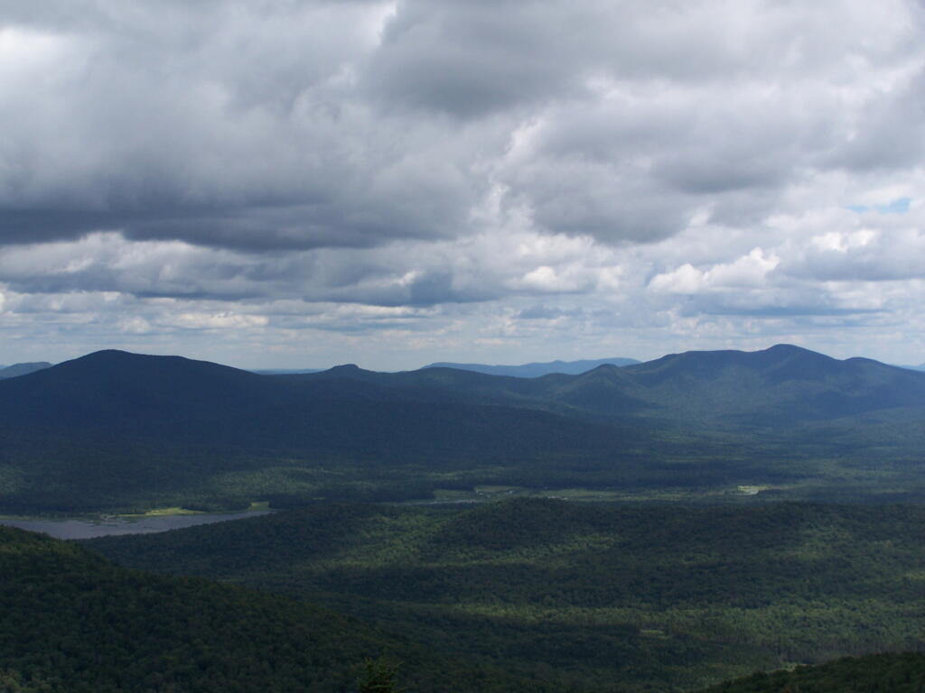
Past and Present Management Of Moose River Plains

Today’s fodder was is an excerpt from “Moose River Plains Wild Forest Revised Draft Unit Management Plan/Draft Generic Environmental Impact Statement ‐ July 2010”, Appendix III, a NYS Department of Conservation Document that is in the public domain. As the DEC will probably eventually remove this from the internet, and because it is only in PDF I have decided to share it in the entirity in this blog post.

I have added some pictures I’ve taken over the years at Moose River Plains. I hope you find this interesting and helpful. – Andy

Past and Present Management Of Moose River Plains.
As Written By NYSDEC, Revised Draft Unit Management Plan

The State acquired an original tract of 9,000 acres in the heart of what is now the MRPWF before 1900. In 1948 the Conservation Department issued a permit allowing Gould Paper Company to use an existing wagon road known as the Kenwell Road to haul timber across State lands and to maintain a gate at the end of the road near Limekiln Lake to prevent public access. The Department acquired 15,710 acres surrounding Limekiln Lake from Gould in 1960, then another Gould parcel encompassing Lost Ponds and containing approximately 1,803 acres in 1962. An individual owner sold the State a parcel of 356 acres including Beaver Lake in 1963. The majority of what is now the MRPWF and the northern part of the West Canada Lake Wilderness was added to the Forest Preserve in 1963 when Gould Paper Company sold the State a tract of 50,970 acres stretching from Horn Lake on the west to Manbury Mountain on the east. Major subsequent additions included 602 acres surrounding Wakely Dam and the north end of Cedar River Flow from Finch, Pruyn and Company in 1964 and two large parcels acquired from International Paper Company: the 1,120‐acre Cellar Mountain parcel in 1986 and a tract of 9,925 acres south of Wakely Mountain in 1988. The larger parcel was acquired subject to a 1987 easement conveyed by IP to Hamilton County for the maintenance of the four miles of Cedar River Road which crossed the parcel. Appendix 25 contains an acquisition map.

A small parcel was acquired in 1981 along Route 28. This acquisition included access to the shore of Fourth Lake. However, there is no potential to develop any water access at this location. Appendix 15 contains a deed and sketch map for this parcel.

Moose River Plains Overview

After this major acquisition, the Department took an active approach to the management of the area then referred to as the Moose River Recreation Area, a name which reflected the intent behind the purchase. From the beginning, the Department pursued the development of an extensive road system to provide public access to the remote interior for hunting, trapping, fishing and camping. An early Department report indicated that there were about 178 miles of primary gravel roads and an equal extent of secondary and winter roads throughout the former Gould lands. However none of the roads was suitable for public motor vehicle use without significant improvement. Minutes to a meeting of Department staff on December 9, 1963 included an estimated cost of $25,000 for the annual maintenance of 50 miles of roads and bridges. Starting in 1964, Division of Fish and Wildlife staff used heavy equipment to improve roads initially identified for public use. When the area first was opened to the public on October 23, 1964, the road connecting the Limekiln and Cedar River entrances had just been cleared by bulldozer, but remained difficult to traverse. In addition to the LLCR Road, the Rock Dam Road, Otter Brook Road and Sly Pond Loop were open to public use by permit for a total of about 30 miles. Fifty‐six parking areas were established along the road system. At the entrance gates, cars were assigned parking areas and travel was allowed only to and from those areas. The public were four‐wheel drive vehicles or tire chains. Pickups with slip‐on campers were permitted from the start, but because the roads were not yet suitable, trailers were not permitted.

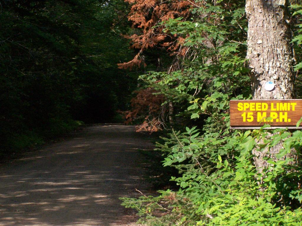
Speed Limit 15 MPH

In a road plan adopted in 1965, roads to be designated were divided into three categories. Twenty‐two miles would be first priority roads, open to all traffic; 30.5 miles would be second priority roads open only to fourwheel drive vehicles; and 7.5 miles would be administrative roads restricted to use by Department staff for crossing private property. In the first years after the area was opened to the public, access remained difficult because of the effects of weather on road conditions. In the summer of 1965, work needed to make the roads passable delayed opening until July 1. In order to minimize fire danger and facilitate the disposal of trash, the public was allowed to camp only in areas adjacent to the roads and for a maximum of 3 days. Trash receptacles eventually were provided at most campsites and Department staff collected trash twice a week through the 1970s. The trash was deposited at a dump site south of the LLCR Road east of Helldiver Pond.

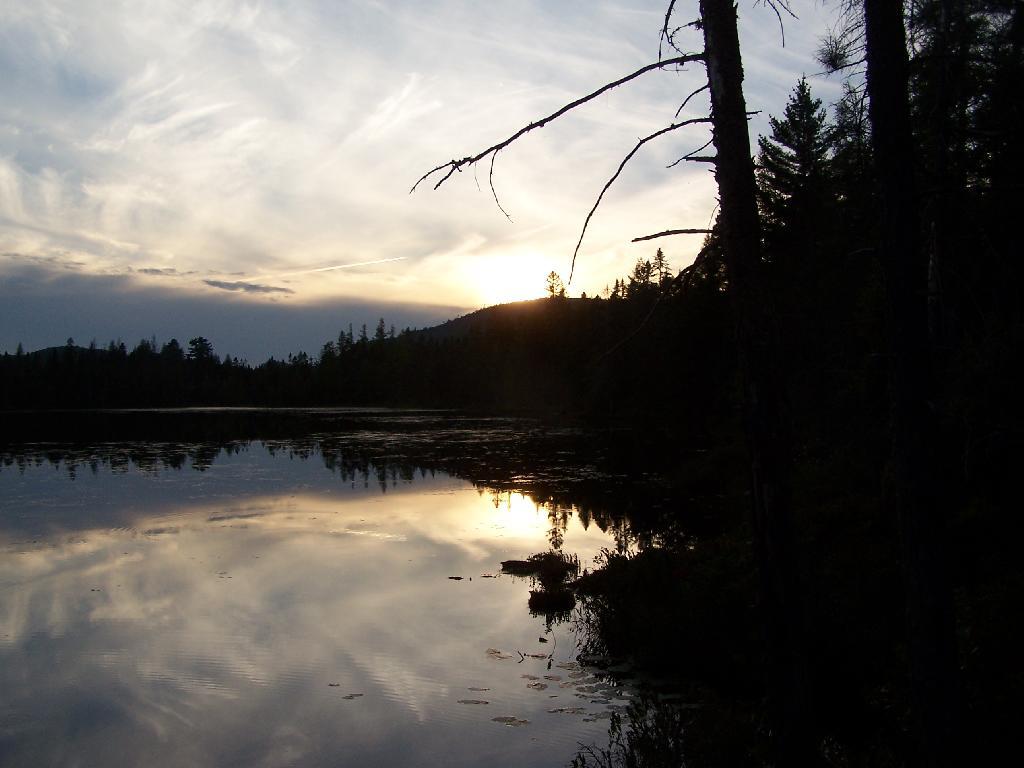
Helldiver Pond in Evening

The road crew worked steadily year by year to improve the roads with the intention of ultimately allowing them to be traveled safely by cars. After the extensive logging by Gould, especially after the 1950 Blowdown, much of the area was occupied by thick low vegetation, the tops of harvested and wind‐thrown trees. Foot travel was difficult. To allow hunters to more easily travel through more remote areas in search of game, Fish and Wildlife staff used a bulldozer to clear and extend logging roads and skid trails to serve as foot trails, starting in the late 1960s. Trails cleared in this way include routes to Mitchell Ponds, Bear Pond, Lost Ponds, Cellar Pond, Beaver Lake, Sly Pond and Squaw Lake, as well as those along Benedict Creek and Butter Brook. A number of routes cleared at that time are now within the West Canada Lake Wilderness, including the trails to Horn Lake and Falls Pond. Many of the cleared routes extended beyond the trails currently marked and maintained. A map prepared by Jack Harnish, a member of the crew that did the trail clearing work, is on file with the Department.

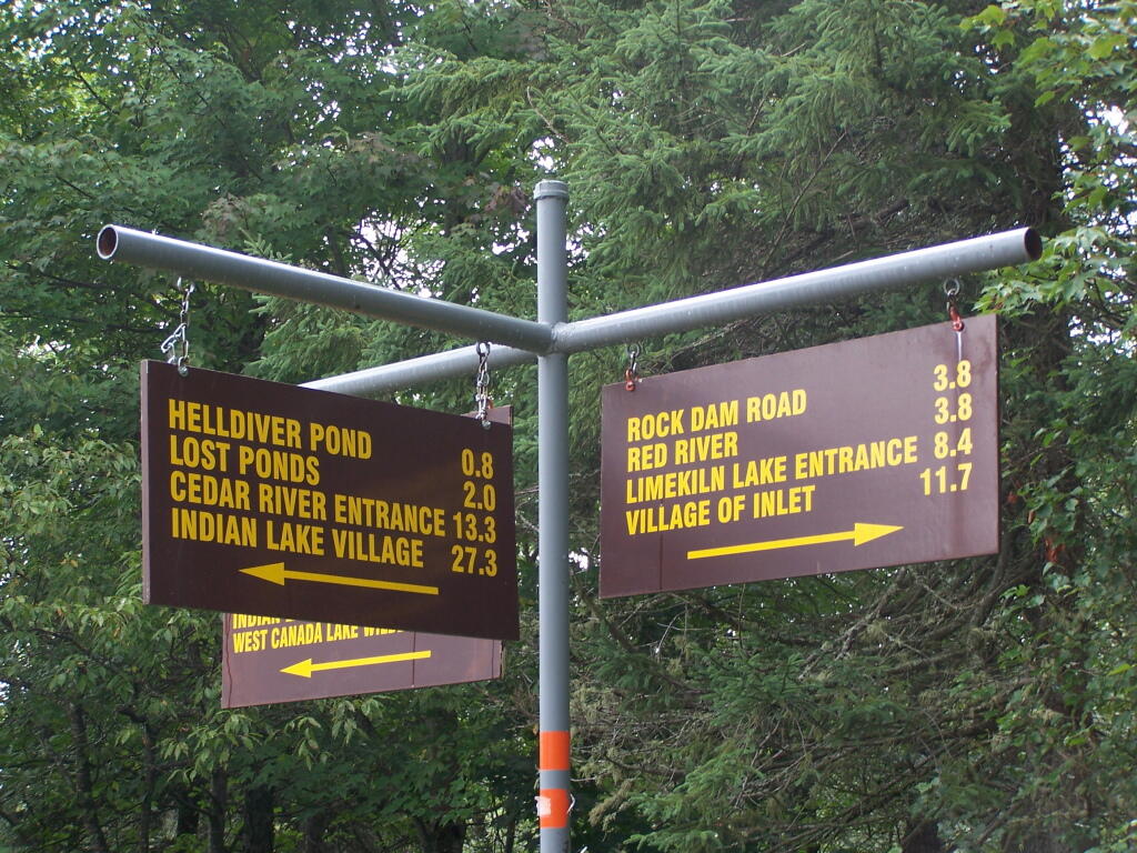
Direction Sign at The Big T Junction

The minutes of the December 9, 1963 Department staff meeting mentioned above included in the list of recommendations for the operation of the area that the Department should establish several small camping areas to include table, fireplace and latrine throughout the area adjacent to the roads where parties can park and camp. By 1965 the Department began constructing campsites and installing fireplaces, picnic tables and privies, which were built in a field just west of the Cedar River entrance. At each suitable location along the road system, a bulldozer was used to make a short access driveway and level an area where a car or pickup truck could park and camp. A number of campsites were created at former log landings. Many of the areas originally intended as roadside parking areas later were converted to campsites. Campsite construction was completed by the late 1960s.

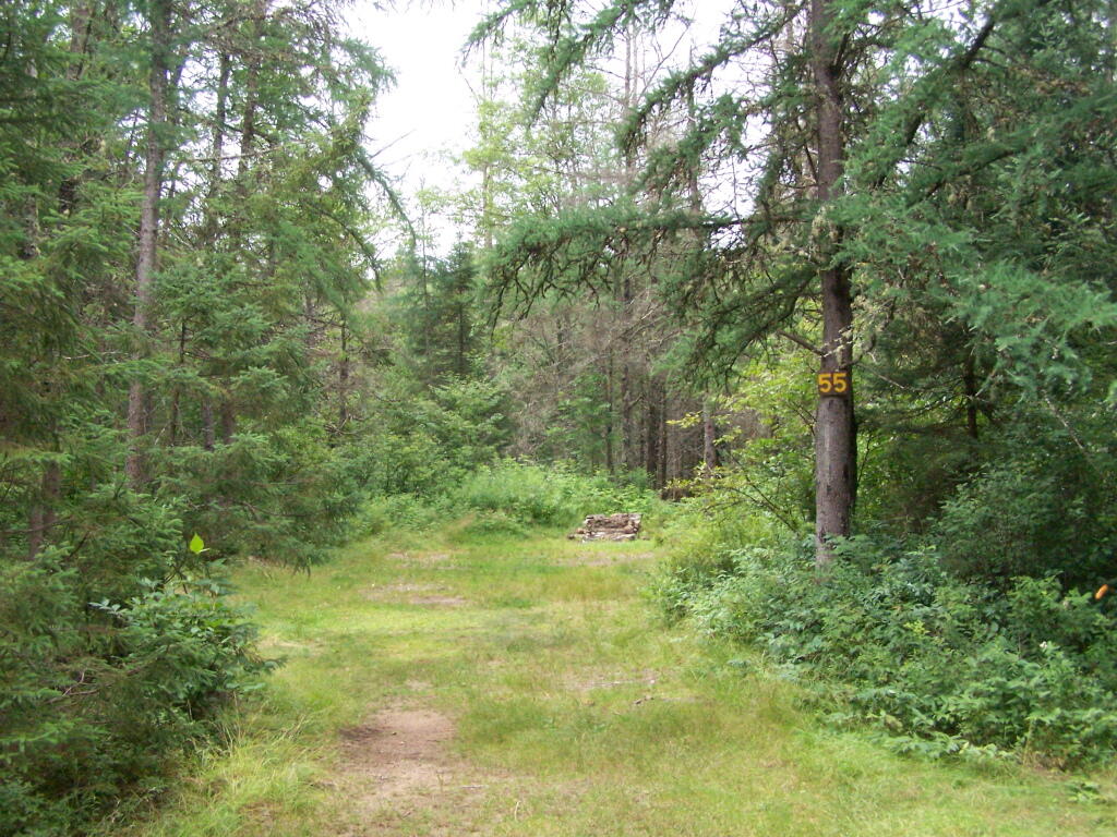
Campsite 55

Because of the importance of the Plains as a deer wintering area, the Departments game management staff began studying the area in 1931. Hunting and fishing advocates such as the Adirondack Conservation Council supported the acquisition of the Plains and the development of its roads, trails and campsites for hunting and fishing access. In 1965 and 1966 with federal Pittman‐Robertson Act funding, 30 log landings were graded for hunter parking access and 30,000 trees were planted in the Plains area as an experiment intended to provide winter deer shelter.

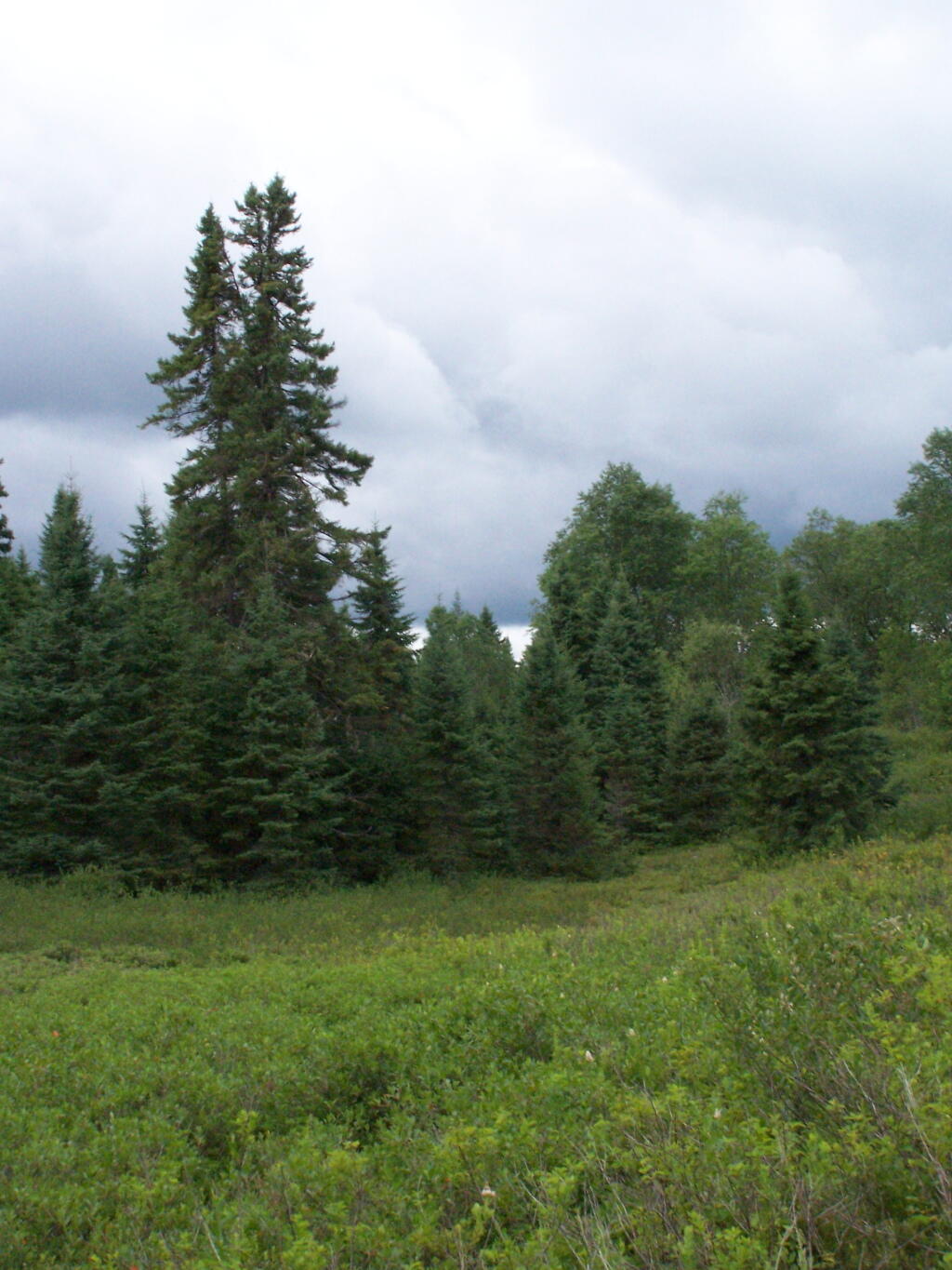
Tall Pines in the Plains

In 1965 housing was constructed for the Limekiln and Cedar River gatekeepers. The possibility of a use fee was discussed, but no fee was charged during the early years. During the 1976 season the Department charged a fee of $1.50 or $2.00 per car. A subsequent assessment determined that most of the revenue generated by the fee was offset by the costs of staffing and administration. The fee was discontinued the following year.

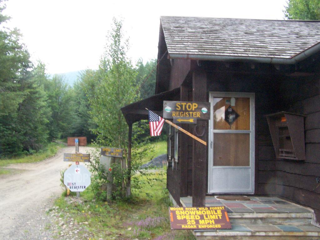
Entrance to Moose River Plains

Work to clear hunter access trails by bulldozer continued for a few years. However, after repeated incidents of public motor vehicle travel on these trails, 16 barriers were installed in 1970, and motor vehicles no longer were used to maintain the trails. Also in 1970, the original road plan was changed to close 22.5 miles of the original III. Management and Policy Moose River Plains Wild Forest Revised Draft Unit Management Plan/Draft Generic Environmental Impact Statement ‐ July 2010 67 30.5 miles of secondary roads to the public and retain them as administrative roads. The other 8 miles, consisting of the beginning of the Otter Brook truck trail and the road to the Indian River, were upgraded to primary roads and the gate at the Otter Brook bridge was removed.

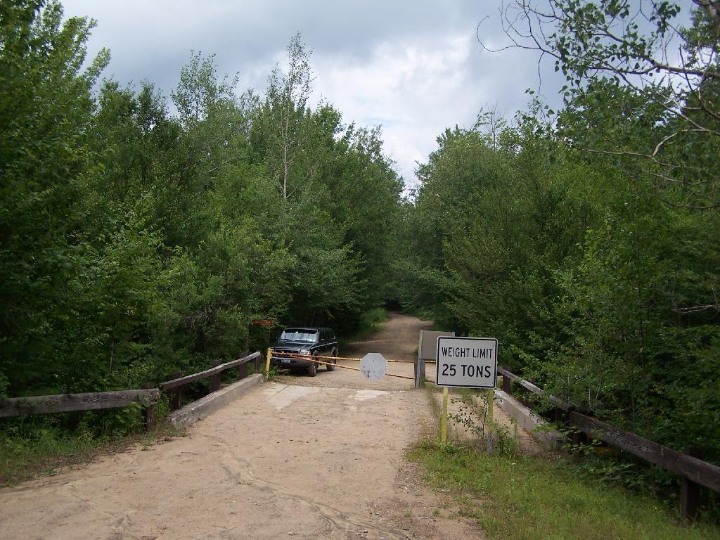
Otter Brook Bridge is Closed

As work progressed over the years and the condition of the road system improved, the Department relaxed restrictions on the types of vehicles the public could drive. In the late 1960s the Department decided to allow motorhomes up to 22 feet long to travel the roads through big game hunting season, as long as they had tire chains. It was thought that they were less likely to get stuck than vehicles towing camping trailers, which the Department continued to prohibit. However, pressure to allow trailers began early and continued to grow. After Department staff conducted an assessment of the roads and determined that they had been sufficiently improved, they decided to allow trailers beginning around 1980.

For several years after the Department first erected wood signs in the MRPWF, they were repeatedly damaged by black bears. To prevent further destruction, metal signs were installed in 1975.

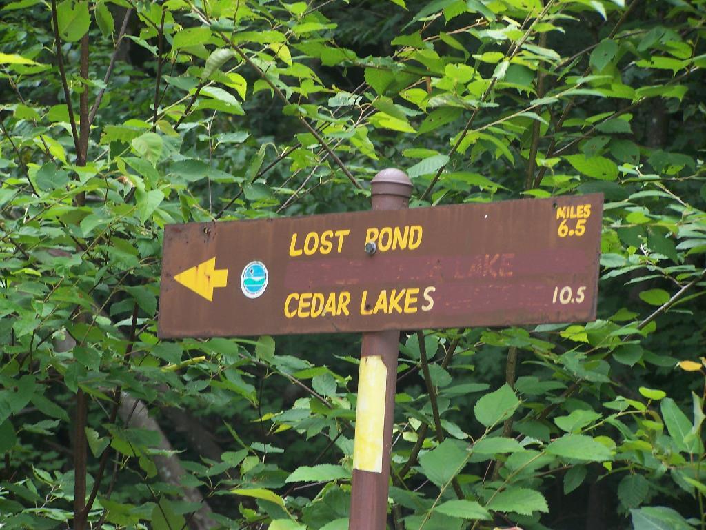
6.5 Miles to Lost Pond

A detailed Department map prepared in 1977 shows 222 campsite and parking area locations along the road system. The map provides an inventory of the structures at each site, showing the prevalence of fireplaces, picnic tables and privies at the time. Twenty sites were closed in 1980 after the reclassification of the southwestern portion of the area to wilderness, when the road to the Indian River was gated at Indian Lake. The campsites were not given numbers on the ground until the 1980s. A number of original sites that had fallen into disuse were bypassed when the numbers were assigned, so that in 2008 there are 170 numbered sites. In 2006 sites 7, 34, 66, 73, 90, 119a, 130 , and site 1 at Cedar River Flow were modified and designated as accessible sites.

In recent years, maintenance activities have focused on keeping the road system in passable condition, replacing inadequate culverts and trail maintenance. In 2001, four gravel pits were reclaimed and replanted.

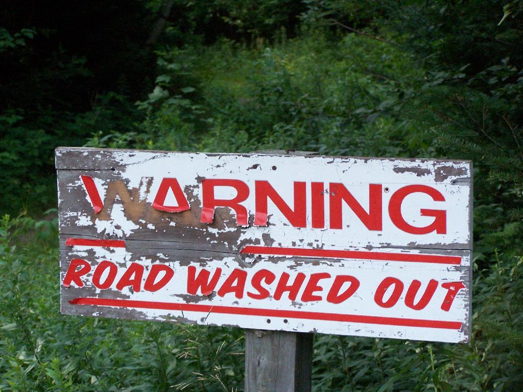
Warning! Road Washed Out

In 1996 an engineering evaluation was completed for the public motor vehicle roads in the unit. The report focused on 8 major and 12 minor culvert problem areas and made recommendations for replacing existing culverts with new structures of sufficient capacity to handle a design storm of 100‐year occurrence probability with a snowmelt allowance. Between 2000 and 2005, 11 of the 12 minor sites, with the exception of site 10B, were addressed and site 5A of the major sites is the only one complete. The report and an updated status can be found in Appendix 22.

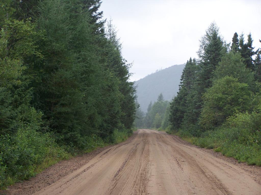
Straight Thru the Plains

In 1974, jurisdiction over approximately one acre of State land was transferred from the Hudson River‐Black River Regulating District to the Department for use as a canoe access site on Sixth Lake. In 1986, the Department transferred jurisdiction of 6.41 acres of State land along Sagamore Road to DOT. This parcel encompasses an old sand pit and was transferred so that DOT could relocate their maintenance facility from an area immediately adjacent to State Route 28 to a more screened location. DEC reserved the right to use gravel from this site, as long as it did not interfere with the DOT facility. Currently DOT does not use the site, but may use it at some time in the future.

Moose River Plains Overview

When the Moose River Recreation Area was first opened to the public, use levels were relatively high. During big game hunting season in 1964, 2,021 vehicles with 5,764 passengers signed in. Though the area originally was purchased and developed for use by hunters, trappers and anglers, the first 10‐day report filed after the 1965 opening on July 1 indicated that 75 percent of visitors were campers and sight‐seers. In 1966, 7,809 people signed in as anglers and 23,408 camper‐days were recorded during big game hunting season, about 6,000 of which were recorded for campsites beyond the Otter Brook bridge. Big game hunters were very successful in the early years, harvesting 373 deer and 15 bear in 1966 and a high of 404 deer in 1968. Deer harvest levels declined sharply after 1969, with 77 harvested in 1970 and 11 in 1971. Since the 1970s the number of deer taken by hunters has increased and in recent years harvest numbers have nearly returned to the levels recorded in the 1960s. The MRPWF remains popular with hunters, trappers and anglers.

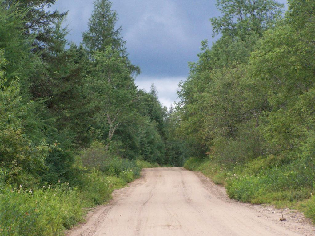
Thunderstorm Coming to the Plains

Early management included the adoption of a number of regulations in 1972. These regulations, which still apply to public use of the area, require visitors to register at the Cedar River and Limekiln entrances, require the use of tire chains after October 1 except on 4‐wheel drive vehicles, prohibit snowmobile operation during the big game hunting season and prohibit the use of motorcycles and motorized bicycles. Current conditions may warrant the elimination of the registration requirement and the prohibition against motorcycle use.