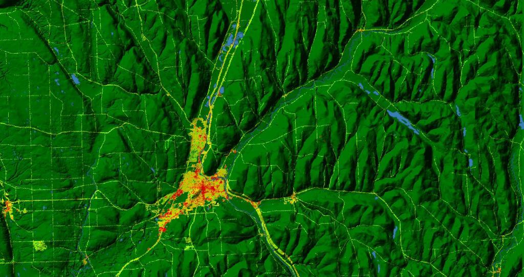
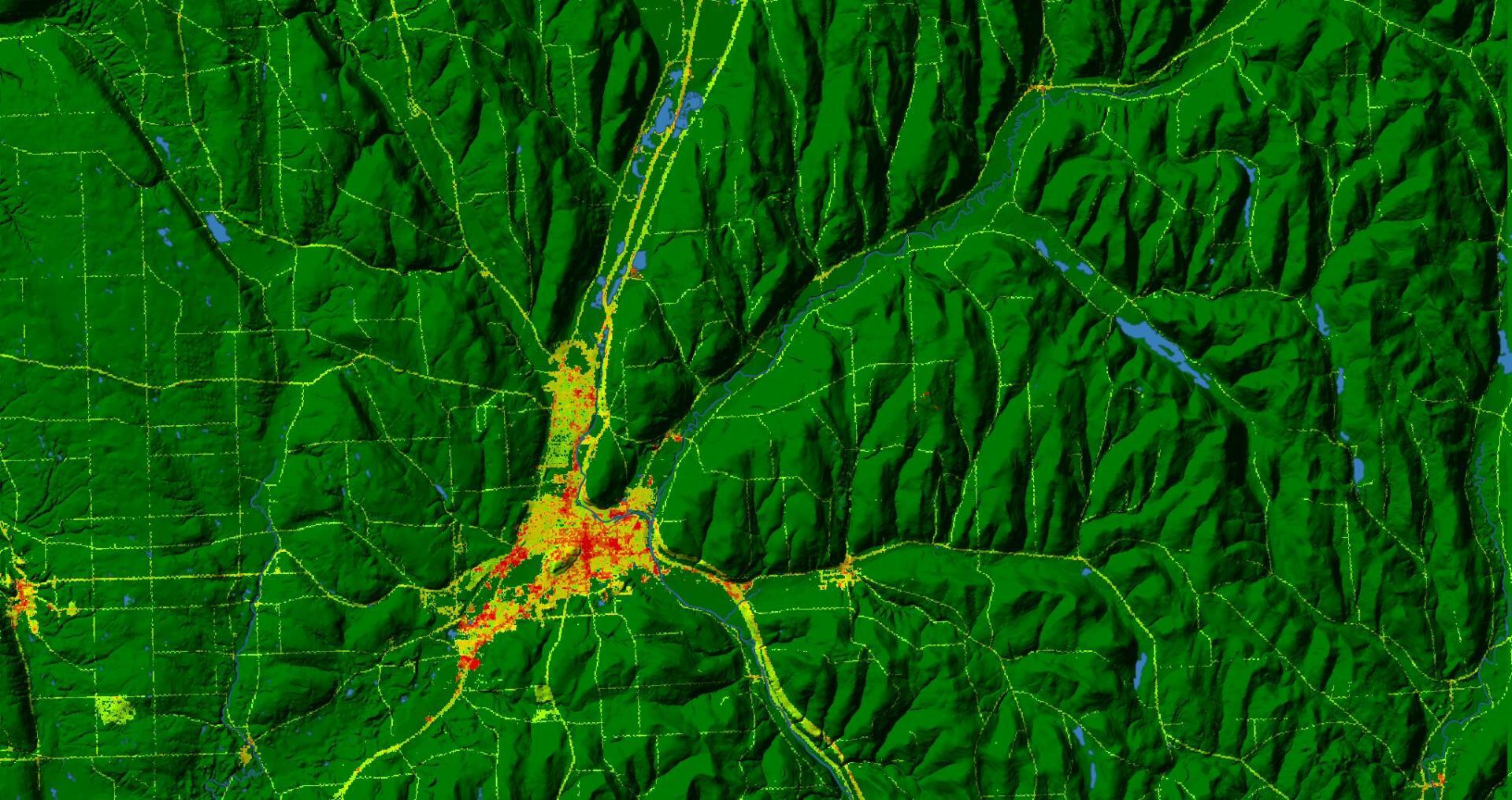
Terrain Map: Cortland Development
Download a High Resolution JPEG Image of the Terrain Cortland Development or an Adobe Acrobat Printable PDF of the Terrain Cortland Development.
About Cortland Development ....
Cortland is kind of an interesting metropolitan area to explore, as the city is pretty much limited to the valley within the hills, as terrain and the lack of industry have limited it's growth. Outside of the city, is high, tree-covered hills and state land with shallow soils, and deep, rich agricultural valleys, especially to the north around Preble.
More about Cortland County...
Cortland County is somewhat to the west of the center of New York State, south of Syracuse and north of Binghamton. The county seat is Cortland. As of the 2010 census, the population of Cortland County was 49,336.
http://www.dec.ny.gov/lands/37049.html
Maps and Interactives
The Ostelic Valley – NY 26
Suit-Kote Corporation Pit and Pond in Cortland
North Cortland I-81 Interchange
Marathon, NY
Land Use – Northern Cortland County
Cortland, New York
Otselic Valley
Cortland Development
Taylor Valley State Forest – North
Taylor Valley State Forest
Papish Pond Multiple Use Area
Hoxie Gorge State Forest
Grigg’s Gulf State Forest
Gee Brook State Forest
Dog Hollow State Forest
Cuyler Hill State Forest
Calico Pond
Baker School House State Forest
... photos, maps and other content from from Cortland County.