Search Results for: photo cedar river below wakely dam

Below is a list of lean-tos, campsites, parking areas, and other assets along the Northville – Placid Trail πŸ•οΈ

Link to anΒ  Interactive Map of the Northville Placid Trail.

Type Name Description Coordinates
Hand Launch Ceder River Flow Boat Ramp Hand Carry Launch, Ramp 43.725826369700904, -74.47289916126694
Lean-To Beaver Pond (Aka Cedar Lakes Lean-To #2) Β  43.625969396804386, -74.54927150370021
Lean-To Carry Lean-To Β  43.67874488347091, -74.49549821879448
Lean-To Catlin Bay #1 Lean-To Β  43.99801269269887, -74.39278456108421
Lean-To Cedar Lakes #1 Lean-To Β  43.628125665037935, -74.54047323992656
Lean-To Cold River #2 Lean-To Β  44.14251664317184, -74.13035824291548
Lean-To Cold River #3 Lean-To Β  44.091459278051204, -74.25764175084498
Lean-To Cold River #4 Lean-To Β  44.09139025333258, -74.25573480252505
Lean-To Cold River Lean-To #1 Lean-To Β  44.14272737628489, -74.12984021065587
Lean-To Duck Hole #1 Lean-To Β  44.14162687400988, -74.10693734676616
Lean-To Duck Hole #2 Lean-To Β  44.14167686466829, -74.10654354672256
Lean-To Hamilton Lake Stream #1 Lean-To Β  43.39741359517532, -74.45529759002217
Lean-To Hidden Cove Lean-To Β  44.00265528819394, -74.38648026325164
Lean-To Kelly Point #1 Lean-To Β  44.02880023617087, -74.36730798599064
Lean-To Kelly Point #2 Lean-To Β  44.02870256717196, -74.36713034867948
Lean-To Moose Pond Lean-To Β  44.182843382402666, -74.07364102375995
Lean-To Mud Lake Lean-To Β  43.342671073157994, -74.45629078563864
Lean-To O’neill Flow Lean-To Β  43.875596840936154, -74.36642623697053
Lean-To Ouluska Pass Brook Lean-To Β  44.120221281603584, -74.18744717390932
Lean-To Plumley Point #2 Lean-To Β  44.06559891610762, -74.32761224546002
Lean-To Rodney Point #1 Lean-To Β  44.04140938489936, -74.35014909639557
Lean-To Rodney Point #2 Lean-To Β  44.042976745412616, -74.34933464753136
Lean-To Seward Lean-To Β  44.106244137686204, -74.2091536427719
Lean-To Silver Lake Lean-To Β  43.29193545679836, -74.4237351676776
Lean-To South Lake Lean-To Β  43.58724480971, -74.62157883837274
Lean-To Spruce Lake #1 Lean-To Β  43.52728411257782, -74.6099246975027
Lean-To Spruce Lake #2 Lean-To Β  43.53463062983387, -74.60808580306896
Lean-To Spruce Lake #3 Lean-To Β  43.53712972792447, -74.60820962802477
Lean-To Stephens Pond Lean-To Β  43.818673668554965, -74.42052487172707
Lean-To Tirrel Pond North Lean-To Β  43.887344477557306, -74.37880062606054
Lean-To West Canada Creek Lean-To Β  43.58698761405157, -74.61399797100106
Lean-To West Lake #1 Lean-To Β  43.59316222884976, -74.62688668431306
Lean-To West Stony Creek Lean-To Β  43.22474428954461, -74.26933345717664
Paved Parking Lot Lake Durant Northville Placid Trail Parking Lot Paved, 12 Vehicle Capacity 43.84219550506574, -74.3862742856788
Paved Parking Lot Northville Lake Placid Trail Parking Lot Paved, Good Condition 43.84213270187873, -74.38656792328511
Primitive Tent Site Canary Pond Campsite Β  43.30513256312245, -74.4472062440692
Primitive Tent Site Cedar Lake Dam 1 Β  43.62894580965635, -74.53639939387939
Primitive Tent Site Cedar Lake Dam Tentsite Β  43.62937624507422, -74.53679785644344
Primitive Tent Site Cedar River Flow Tentsite Β  43.70292480315104, -74.48713041165333
Primitive Tent Site Fall Stream Tentsites Β  43.49661052800474, -74.53713112743992
Primitive Tent Site Jessup River Tentsites Β  43.51246207852797, -74.57229710138834
Primitive Tent Site Kelly Point Tentsites Β  44.02910364406153, -74.36670207204214
Primitive Tent Site Moose Pond Tentsites Β  44.18274441156179, -74.07408240028583
Primitive Tent Site Moose River Plains Campsite 01 Live 43.72667672123972, -74.47410026642402
Primitive Tent Site Moose River Plains Campsite 02 Live 43.72665150100841, -74.47331107300782
Primitive Tent Site Moose River Plains Campsite 03 Live 43.725959512295866, -74.47389996564202
Primitive Tent Site Moose River Plains Campsite 04 Live 43.726067692208126, -74.47423264719026
Primitive Tent Site Moose River Plains Campsite 05 Live 43.725563790898704, -74.47417512282912
Primitive Tent Site Moose River Plains Campsite 06 Live 43.72522313374867, -74.47458303719159
Primitive Tent Site Mud Lake Tentsites Β  43.59647433847274, -74.61354076182431
Primitive Tent Site O’neill Flow Tentsite Β  43.87567135918534, -74.3666467203306
Primitive Tent Site Rock Lake Campsite Β  43.265591839994535, -74.41543516012669
Primitive Tent Site Salmon River Tentsites Β  43.907925071619914, -74.38530801916977
Primitive Tent Site Shattuck Clearing Tentsites Β  44.08679657756681, -74.26368397541134
Primitive Tent Site Silver Lake Tent Site Β  43.29112770008321, -74.4240469986026
Primitive Tent Site Spruce Lake Tentsite Β  43.53695545329776, -74.60818912022354
Primitive Tent Site Tirrell Pond North Tentsites Β  43.88594343639596, -74.37834897628142
Primitive Tent Site Trailside Campsite Β  43.2716741112023, -74.43107546264162
Primitive Tent Site Wanika Falls Tentsites Β  44.19944690357389, -74.05663862305364
Primitive Tent Site West Lake Former Caretaker Clearing Tentsites Β  43.59389874347195, -74.62560220247346
Primitive Tent Site Whitehouse Campsite Β  43.373430193527696, -74.43578942968477
Primitive Tent Site Whitehouse Campsite Β  43.37406302094423, -74.43516794694158
Primitive Tent Site Woods Lake Campsite #2 Fire Pit, Water Front Campsite 43.25071034607129, -74.31177480398298
Primitive Tent Site Woods Lake Campsite #3 Fire Ring, Water Front Tentsite, Scenic View 43.250888826581715, -74.31104030228295
Primitive Tent Site Woods Lake Campsite #4 Fire Place, Water Front Campsite, Nice View 43.251811433787196, -74.3092782205918
Unpaved Parking Lot Benson Road Parking Area 8 Vehicle Capacity 43.24745928673895, -74.31187044250609
Unpaved Parking Lot Chubb River Bridge Β  44.2628824981147, -74.01364844250504
Unpaved Parking Lot Moose River Recrieation Area Northville-Placid And Cedar River Trails 43.726457025366315, -74.47386984656715
Unpaved Parking Lot Norhtville Placid Parking-Haskells Rd Β  43.45841038153893, -74.52201705350714
Unpaved Parking Lot Northville Placid Trail Parking Area 6 Car Interior Parking Area 43.21330828950083, -74.2083824784703
Unpaved Parking Lot Northville Placid Trail Route 28n Parking Lot Β  43.97584466308438, -74.39296138679799
Unpaved Parking Lot Tarbell Road Shoulder Parking Lot Β  43.984346733793245, -74.39813014848872
Unpaved Parking Lot Wakely Dam Β  43.72640808237045, -74.47425964611213
Unpaved Parking Lot Wakely Mountain Trailhead Parking Lot 1250 Sq Feet 43.732197733217824, -74.47253968128065
Unpaved Parking Lot Wakely Pond Accessible Fishing Dock Β  43.737643556916666, -74.46542853470272
Unpaved Parking Lot Wakely Pond Accessible Launch Β  43.738042554833534, -74.46399313053813

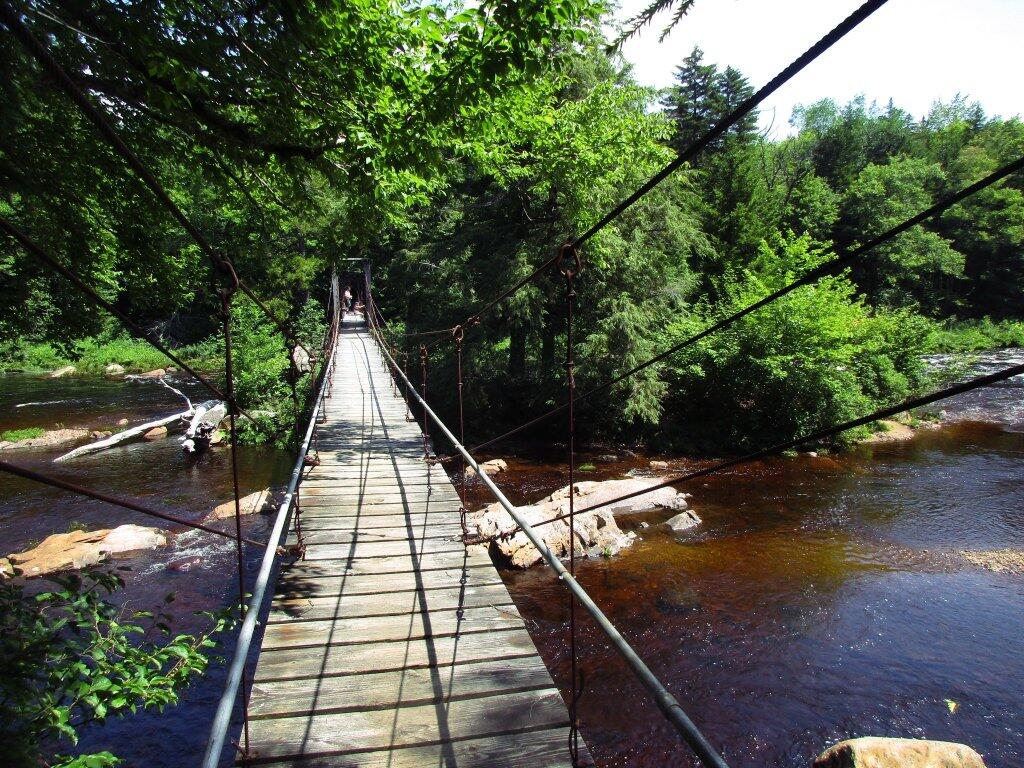
 Whitehouse Suspension Bridge

Moose River Plains Campsites

Interactive Map of Lean-Tos and Campsites

An overview map and list of campsites and their locations at the Moose River Recreation Area.

 Moose River Plains Recreation Area

Maps

Campsites

Milepoint Name Feature Notes Access Location
Cedar River Flow 1 Cedar River Flow Tent site on flow Boat 43.702924803151, -74.4871304116533
Cedar River Flow 2 Cedar River Flow Tent site on flow Boat 43.7104737708879, -74.4802343768254
Cedar River Flow 3 Cedar River Flow Tent site on flow Boat 43.7145237017622, -74.4679264444554
Cedar River Flow 5 Cedar River Flow Tent site on flow Boat 43.7111711590583, -74.4675178486588
Cedar River Flow 6 Cedar River Flow Tent site on flow Boat 43.7084767866376, -74.4717703157492
Beaver Lake Campsite Beaver Lake Site overlooks Beaver Lake Hike 43.6516613421651, -74.7407833400961
81 Icehouse Pond Accessible site at Icehouse Pond with privy Hike 43.6646602166505, -74.7029502913239
140A Indian Lake Campsite on Indian Lake, outhouse in bad condition Hike 43.6154753632731, -74.7499942080732
East of Muskrat Pond Indian Lake Trail Former roadside campsite, largely abandoned Hike 43.645116528704, -74.696221627206
46 Lost Ponds Trail Beyond the end of current Lost Ponds Road Hike 43.6868179572109, -74.6655581886723
47 Lost Ponds Trail Above Lost Ponds Hike 43.6859472953826, -74.6722052916864
Mitchell Pond 1 Mitchell Pond Tent site, bushwhack Hike 43.6729475881673, -74.7502538624373
Mitchell Pond 2 Mitchell Pond Tent site, bushwhack Hike 43.6716991892117, -74.7432124817486
64A Mitchell Pond (Accessible Campsite at End of Gravel Trail) Gravel path to site, wildrness privy Hike 43.6706136251028, -74.7387363015355
10 89 Beaver Lake Road Off Otter Brook Road, Sand Plains Vehicle 43.6583112347181, -74.7012491214803
11 90 Beaver Lake Road Off Otter Brook Road, Sand Plains Vehicle 43.6577446555162, -74.7038760912165
16 1 Cedar River – Limekiln Lake Road Driveway Along Tributary of Silver Run Vehicle 43.7033162602551, -74.5742148239156
16 3 Cedar River – Limekiln Lake Road Along Silver Run Vehicle 43.7027301523306, -74.5757742464803
16 4 Cedar River – Limekiln Lake Road Along Silver Run, driveway at Sharp S Turn Vehicle 43.7026421104662, -74.5769731929134
16 7 Cedar River – Limekiln Lake Road Along Silver Run Vehicle 43.7040070126376, -74.5809411044503
15 10 Cedar River – Limekiln Lake Road Old gravel pit, accessible Vehicle 43.7031498027862, -74.5893864145496
15 11 Cedar River – Limekiln Lake Road Across from 12 Vehicle 43.702458607149, -74.5926546451668
15 12 Cedar River – Limekiln Lake Road Across from 11 Vehicle 43.7028667147947, -74.5929833340894
15 13 Cedar River – Limekiln Lake Road Along Silver Run Vehicle 43.7010402113051, -74.5956355707995
15 14 Cedar River – Limekiln Lake Road Along Silver Run Vehicle 43.7010328498576, -74.597457469967
14 16 Cedar River – Limekiln Lake Road Access Road for 16/17/18 Group Vehicle 43.7025294616695, -74.5969885248639
14 17 Cedar River – Limekiln Lake Road Access Road for 16/17/18 Group Vehicle 43.7021028692463, -74.5966599329259
14 18 Cedar River – Limekiln Lake Road Access Road for 16/17/18 Group Vehicle 43.7023846304313, -74.5978818600647
14 19 Cedar River – Limekiln Lake Road Along Silver Run Vehicle 43.7003546491841, -74.5964872856253
14 21 Cedar River – Limekiln Lake Road Across road from Silver Run Vehicle 43.6957217888458, -74.6020563094081
13 22 Cedar River – Limekiln Lake Road Across road from Silver Run Vehicle 43.6935817523545, -74.6036764840587
13 27 Cedar River – Limekiln Lake Road Across road from Silver Run Vehicle 43.6926540634024, -74.6082201775478
13 30 Cedar River – Limekiln Lake Road Open Area in Woods Vehicle 43.6918525577623, -74.6118452191364
13 31 Cedar River – Limekiln Lake Road Near Marsh off Silver Run Vehicle 43.6881856235873, -74.6271629609656
12 34 Cedar River – Limekiln Lake Road Open Field Near Old Sly Pond Road Vehicle 43.6846954329325, -74.634678249126
12 35 Cedar River – Limekiln Lake Road Former Sly Pond Road Vehicle 43.6836690328942, -74.6318552827363
11 38 Cedar River – Limekiln Lake Road On Hill Overlooking Road, near start of Lost Ponds Area Vehicle 43.6836029270341, -74.6401393590772
11 39 Cedar River – Limekiln Lake Road Above CRLLR, start of Lost Ponds Area Vehicle 43.6841476346233, -74.6487511980121
11 40 Cedar River – Limekiln Lake Road Above CRLLR, start of Lost Ponds Area Vehicle 43.682942162164, -74.6537793571789
11 41 Cedar River – Limekiln Lake Road Above CRLLR, start of Lost Ponds Area Vehicle 43.681311345096, -74.6589116717693
10 42 Cedar River – Limekiln Lake Road Above CRLLR, start of Lost Ponds Area Vehicle 43.6799039050817, -74.6646031695507
10 43 Cedar River – Limekiln Lake Road Above CRLLR, start of Lost Ponds Area Vehicle 43.6793727911294, -74.6664156654099
10 44 Cedar River – Limekiln Lake Road West of Lost Ponds Road, Sand Plains Vehicle 43.678808787762, -74.6696555368193
10 50 Cedar River – Limekiln Lake Road West of Lost Ponds Road, Sand Plains Vehicle 43.677986610504, -74.6732025802129
10 51 Cedar River – Limekiln Lake Road Pull-Off, Small Site, Sand Plains Vehicle 43.6775108499728, -74.6750146421403
10 52 Cedar River – Limekiln Lake Road Old gravel pit, short loop below CRLLR Vehicle 43.6748840847288, -74.6815273754233
10 53 Cedar River – Limekiln Lake Road Access Road for 55/54/55 Group, Sand Plains Vehicle 43.6733317629897, -74.6820452615144
10 54 Cedar River – Limekiln Lake Road Access Road for 55/54/55 Group, Sand Plains Vehicle 43.673268538603, -74.6822820352903
9 55 Cedar River – Limekiln Lake Road Access Road for 55/54/55 Group, Sand Plains Vehicle 43.6733705968856, -74.6827076379887
9 56 Cedar River – Limekiln Lake Road Driveway, East of Former Dump, Sand Plains Vehicle 43.673126585883, -74.6891475571674
9 57 Cedar River – Limekiln Lake Road Has Trail to Moose River Vehicle 43.6736673106707, -74.6902687046523
8 64 Cedar River – Limekiln Lake Road Near Mitchell Pond Trail Vehicle 43.6757521870177, -74.707500815672
8 66 Cedar River – Limekiln Lake Road Near Pine Creek Vehicle 43.6784203854214, -74.7068492021325
7 67 Cedar River – Limekiln Lake Road Benedict Creek Road, Wooded Vehicle 43.6851041444828, -74.7031887110586
7 69 Cedar River – Limekiln Lake Road Remote site, perched over the road Vehicle 43.6834516958835, -74.7168906980223
6 70 Cedar River – Limekiln Lake Road Large loop off of CRLLR Vehicle 43.6839906014562, -74.7249870178447
6 71 Cedar River – Limekiln Lake Road Very sandy site near Mitchells Pond Upper Loop Vehicle 43.6833776353921, -74.7321947941391
5 72 Cedar River – Limekiln Lake Road At end of Bear Pond Loop Road (Accessable) Vehicle 43.6828956047277, -74.7359084701559
4 73 Cedar River – Limekiln Lake Road Very sandy site near Mitchells Pond Upper Loop Vehicle 43.6835777053685, -74.7387188889593
4 74 Cedar River – Limekiln Lake Road On a hill overlooking road and marshy area Vehicle 43.6839187521201, -74.742285779317
4 76 Cedar River – Limekiln Lake Road Very sandy site near Mitchells Pond Upper Loop Vehicle 43.6864452702399, -74.7471689344191
4 77 Cedar River – Limekiln Lake Road Near Red River, Bear Pond Loop, Sand Plains Vehicle 43.6897961458669, -74.7484803840413
10 58 Helldiver Pond Road Near Helldiver Pond Vehicle 43.6735979105991, -74.6920316000423
10 59 Helldiver Pond Road Near Helldiver Pond Vehicle 43.6723766419894, -74.6929318681131
10 60 Helldiver Pond Road Near Helldiver Pond Vehicle 43.6713193532923, -74.692758456613
10 61 Helldiver Pond Road Accessible site at end of Helldiver Pond Road Vehicle 43.6705019900204, -74.6921751440693
15 West of Brooktrout Trail Indian Lake Road Past Brooktrout Trail, on a hill over road Vehicle 43.6254538914434, -74.7337300739322
10 48 Lost Pond Road Sand Plains, Marshes Aroubnd Vehicle 43.6814268347573, -74.6667101324338
11 49 Lost Pond Road Sand Plains, Marshes Aroubnd Vehicle 43.6819456385478, -74.6670131106595
10 80 Otter Brook Road Has Trail to Moose River Vehicle 43.6620917920003, -74.7112181918076
11 98 Otter Brook Road Above Moose River on Hill Vehicle 43.6588725644731, -74.6966603409996
11 101 Otter Brook Road Sand Plains Vehicle 43.6564420559443, -74.6938956128147
11 103 Otter Brook Road Sand Plains Vehicle 43.657108724794, -74.6873446316172
12 104 Otter Brook Road Wooded Site Vehicle 43.6560617426567, -74.6832992891923
12 106 Otter Brook Road Wooded Site Vehicle 43.6565121581975, -74.6789913497265
13 110 Otter Brook Road Wooded Site Vehicle 43.6566072628101, -74.6733859460379
13 111 Otter Brook Road Near Otter Brook Bridge Vehicle 43.6539235327721, -74.6747718892435
23 1 Wakely Dam Camping Area Accessible site Vehicle (before gate) 43.7266767212397, -74.474100266424
23 2 Wakely Dam Camping Area Field Camping Vehicle (before gate) 43.7266515010084, -74.4733110730078
23 3 Wakely Dam Camping Area Field Camping Vehicle (before gate) 43.7259595122959, -74.473899965642
23 4 Wakely Dam Camping Area On Driveway to Lake Vehicle (before gate) 43.7260676922081, -74.4742326471903
23 5 Wakely Dam Camping Area On Driveway to Lake Vehicle (before gate) 43.7255637908987, -74.4741751228291
23 6 Wakely Dam Camping Area On Driveway to Lake Vehicle (before gate) 43.7252231337487, -74.4745830371916
23 9 Wakely Dam Camping Area Across bridge Vehicle (before gate) 43.726275356142, -74.4717840349063
23 10 Wakely Dam Camping Area Across bridge Vehicle (before gate) 43.7266308152758, -74.4712600272389
10 82 Otter Brook Road On Moose River Vehicle (driveway) 43.6603083771227, -74.7010353925305
11 84 Otter Brook Road On Moose River Vehicle (driveway) 43.6619962517853, -74.6957783254417
6 120 Natural Rock Dam Road Sand Plains near Red River Vehicle (Opens July) 43.6848543033273, -74.7664253595203
6 122 Natural Rock Dam Road Wooded Site Vehicle (Opens July) 43.684367353989, -74.7717171949716
6 123 Natural Rock Dam Road Wooded Site Vehicle (Opens July) 43.6804228755091, -74.7782951743141
6 124 Natural Rock Dam Road Wooded Site Vehicle (Opens July) 43.6792030487765, -74.7847972548314
7 125 Natural Rock Dam Road Wooded Site Vehicle (Opens July) 43.6783559964111, -74.7880327043169
7 126 Natural Rock Dam Road Wooded Site Vehicle (Opens July) 43.6748535298235, -74.790591643043
7 127 Natural Rock Dam Road Wooded Site Vehicle (Opens July) 43.6739776362472, -74.7910844137006
7 128 Natural Rock Dam Road Wooded Site Vehicle (Opens July) 43.6751413481917, -74.7924842843025
8 129 Natural Rock Dam Road Wooded Site Vehicle (Opens July) 43.6703784784539, -74.7926312803463
8 130 Natural Rock Dam Road Wooded Site Vehicle (Opens July) 43.6666270858056, -74.8019151989726
8 131 Natural Rock Dam Road Wooded Site Vehicle (Opens July) 43.6643581634434, -74.8054154753831
8 132 Natural Rock Dam Road Wooded Site Vehicle (Opens July) 43.6652083016168, -74.8036826184027
5 119A Natural Rock Dam Road Sand Plains near Red River Vehicle (Opens July) 43.6844716021433, -74.7646961785253
6 123A Natural Rock Dam Road Wooded Site Vehicle (Opens July) 43.6802422604152, -74.782965042166
6 124A Natural Rock Dam Road Wooded Site Vehicle (Opens July) 43.6785899888224, -74.7864319884685
6 125A Natural Rock Dam Road Wooded Site Vehicle (Opens July) 43.6776017274889, -74.7902229325712
7 126A Natural Rock Dam Road Wooded Site Vehicle (Opens July) 43.6756110574941, -74.7901645681643
8 129A Natural Rock Dam Road Wooded Site Vehicle (Opens July) 43.6689370211979, -74.7948887917477
8 129AA Natural Rock Dam Road Wooded Site Vehicle (Opens July) 43.6674497436753, -74.7980604042935
8 130A Natural Rock Dam Road Wooded Site Vehicle (Opens July) 43.6661052974262, -74.8016557609016
8 130AA Natural Rock Dam Road Wooded Site Vehicle (Opens July) 43.6669094078356, -74.8007390664074

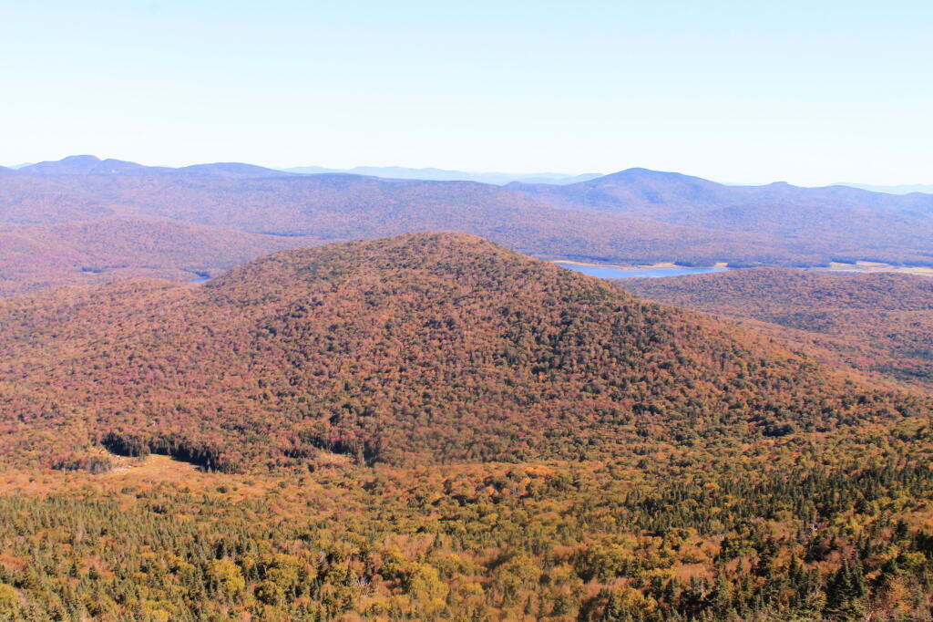
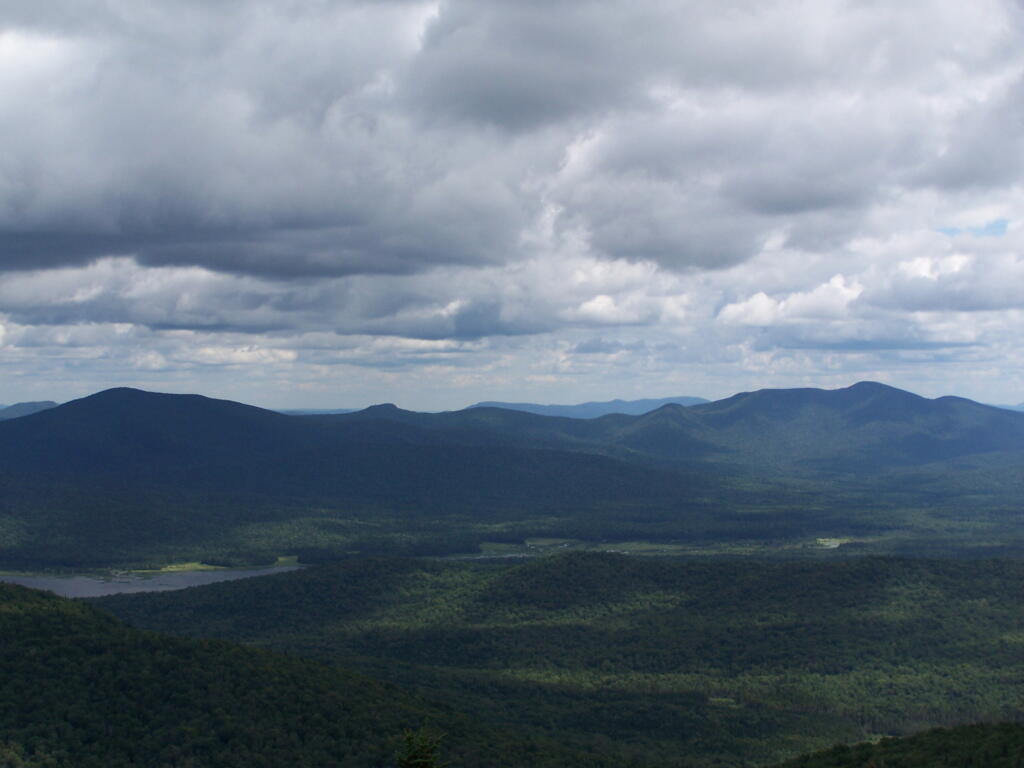
Payne Mountain with Cedar River Flow Beyond It

Moose River Plains

Moose River Plains is the largest roadside camping area in the Adirondacks. It has also been called the largest roadside camping area in the United States, at least with entire road system, considered as a single consolidated unit of 175 campsites. In recent years, a number of sites have been abandoned or closed to protect environmental resources, however the supply of campsites usually exceeds even peak usage on holidays, so finding a good spot is never hard.

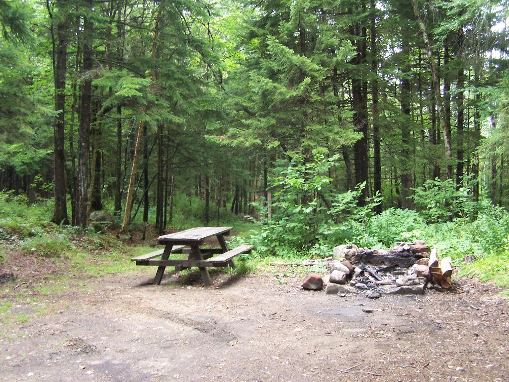
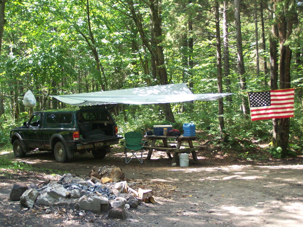
Campsite on Moose River Plains road

In Fall 2010, a new Unit Management Plan was adopted in Moose River Plains. It made the following major changes to the area:

  • Reduced Drive-in Campsites At Wakley Dam to 5. A couple additional tent sites will remain. The Wakely Dam will prohibit motor vehicles crossing it except snowmobiles.
  • New “Intensive Use” Area Was Created to Allow for Up to 150 drive-in campsites (tent or RV or truck camper) to remain along Moose River Plains Road, Helldiver Road, Lost Ponds Foad, Loop Road, Red Dam Road, and other Camping Spurs with spacing less then 1/4 mile. There is no charge to use these sites, you just need a permit if you stay more then 3 days.
  • Campsites Along Otter Brook and Indian Lake Roads will be spaced a 1/4 mile apart, and avoid sensetive areas, such as closing the sites right along the Moose River. These sites will be primarily tent sites during the summer, but during Big Game Season, RVs and truck campers will be allowed.

The recently adopted Moose River Plains Unit Management Plan discusses some of the chnages to Roadside Camping in the area…

“The creation of the MRPCA will create some challenges in educating the public as to what to expect within the area. As the area will not charge fees, nor will reservations be taken, users will be arriving at the area without the benefit of knowing what site they may be camping at. Users will need to drive through the area and locate a site that is suitable for their needs. In the unlikely case that no sites are available, users will need to be educated as to what alternatives exist in the general area. Providing information at the two entrance points, Cedar River Flow and Limekiln Lake, will be an important part of informing users of the type of opportunity available in the MRPCA. It will also provide an opportunity to provide information on alternative locations should the MRPCA not meet their expectations.”

“Unlike other intensive use area campgrounds in the Park, amenities such as bath houses, playgrounds, and paved drives are not ever going to be considered for the MRPCA. Pursuant to APSLMP guidelines for newly created intensive use areas, the MRPCA will only contain up to 150 roadside campsites along approximately 20 miles of roads. These sites will have fire rings, pit privies and picnic tables as their only amenities. Some of these sites will remain relatively close to the road, while others will remain several hundred feet back, accessed by short driveways. A majority of these sites will be comprised of existing sites, some fairly well separated from other sites and some clustered in small groups. This will provide for a variety of camping opportunities depending on what users are seeking. Existing sites that are very close to the road may be relocated to a location that provides better screening or may be converted to parking areas with a walk‐in site located a short distance from the parking area. Any newly constructed sites will be located in a manner to provide vegetative screening between the site and the road.”

— NYSDEC Moose River Plains UMP.

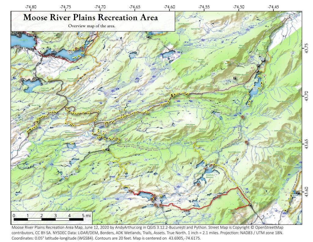
Map of Moose River Plains.

There are no campsites shown on the map, and as listed below both the Intensive Use Area and other portions of Moose River Plains will continue to allow camping as listed below.

Moose River Plains Overview

Roadside Campsites, Post UMP Changes.

These are based on the UMP proposal not implemented yet. This is considered the minimum number of sites under the new plan, the Moose River Plains Camping Area, may increase form 112 to 150 sites in the future, depending on the demand. The DEC plans to limit Otter Brook/Indian Lake Roads to tent only sites during summer season has not be finalized.

Road Number of Sites Site Types
At Wakley Dam:
Cedar River Road
5 Tent (plus others) or Vehicle
Moose River Plains Camping Area Roads:
Moose River Plain Road
Campsite Loop
Helldiver Pond Road
Lost Ponds Road
Loop Road
Rock Dam Road
112 Tent or Vehicle
Otter Brook Road 14 Tent, Vehicles Allowed During Big Game Season
Indian Lake Road 5 Tent, Vehicles Allowed During Big Game Season

More Resources…

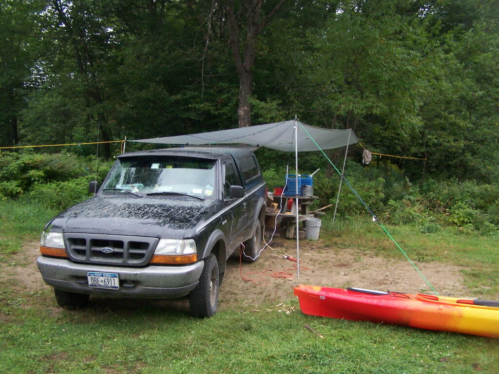
Camping Down By Otter Brook

Kayak Tying Down Tarp

Site 57 in the Plains

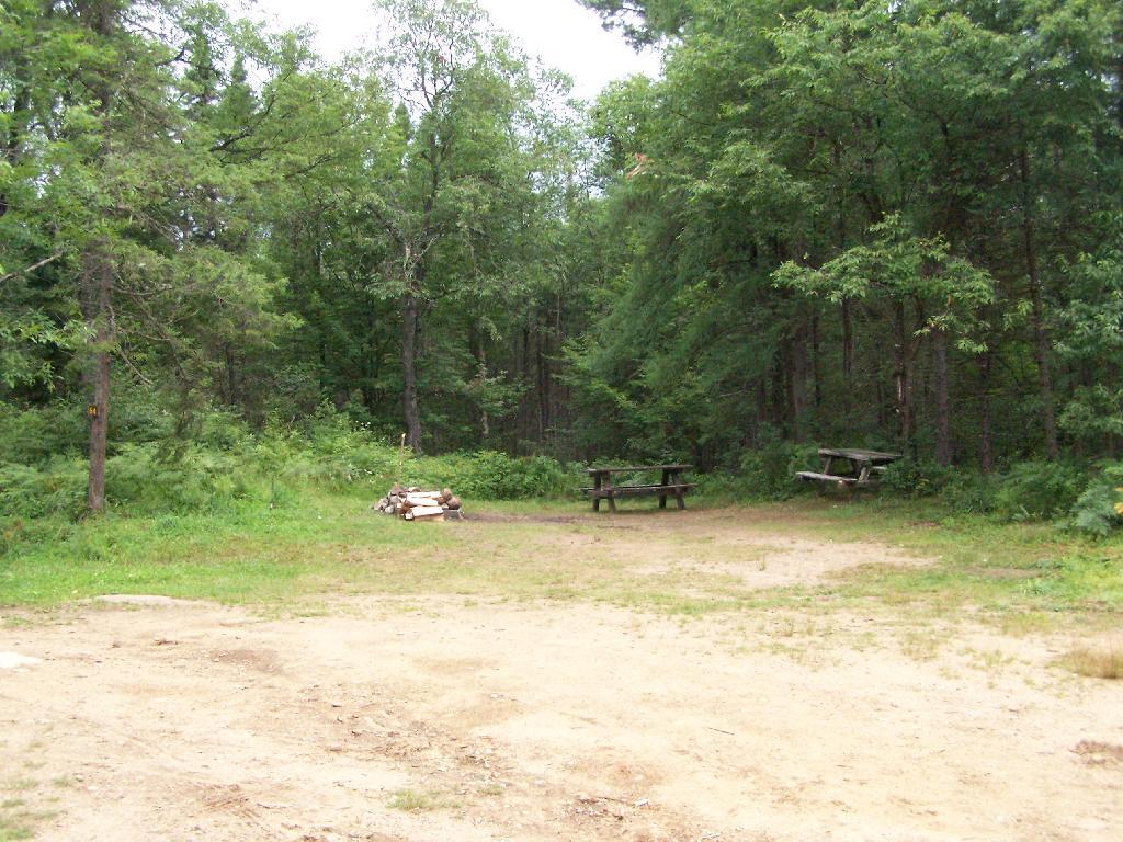
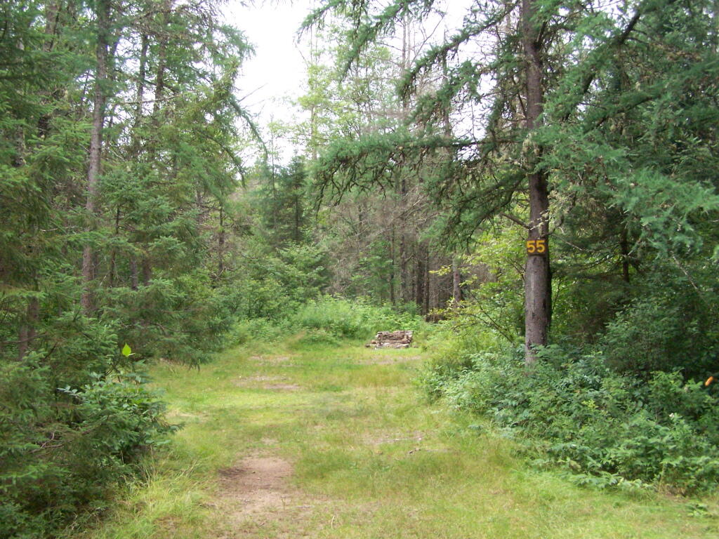
Campsite 55