Picnic Table and Fireplace at Campsite
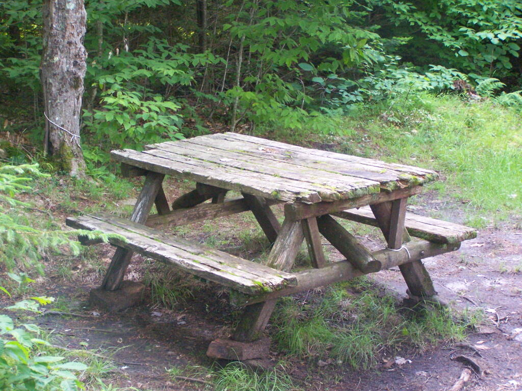
Old, but it works. There also is a modern picnic table for those with disabilities at the end of persons with disabilities trail.
Taken on Monday June 27, 2011 at Woodhull Lake Reservior.
I applaud the person who carried this table all the way out to the far end of the lake, about a mile from the parking area.
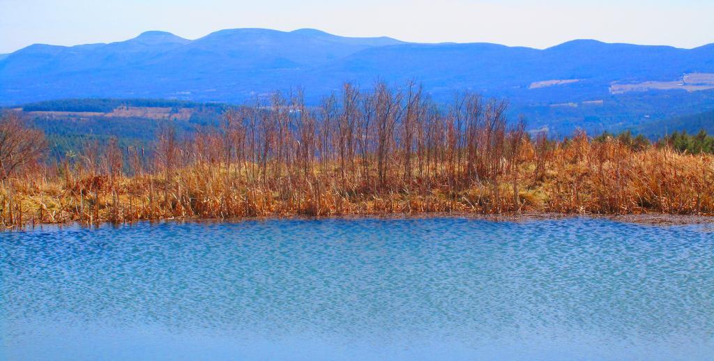
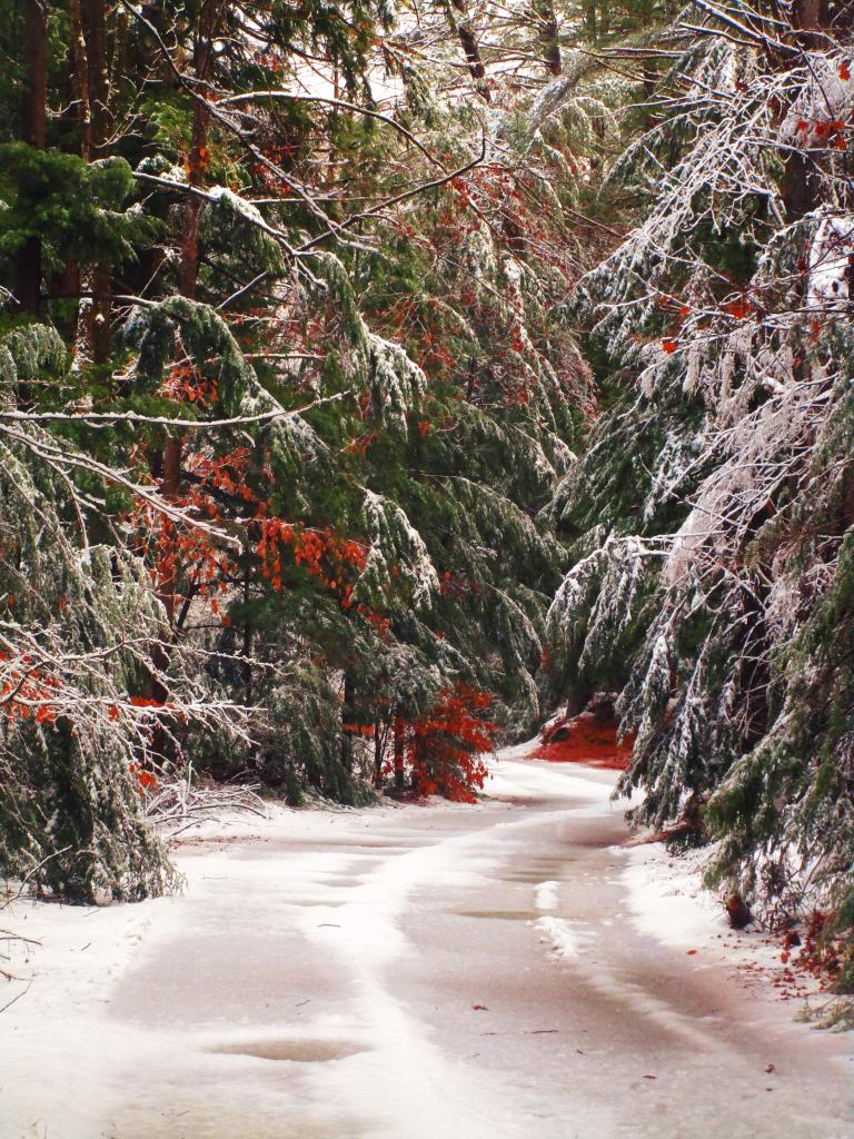
Taken on Saturday May 15, 2010 at Balsam Lake Mountain Wild Forest.Link to an Interactive Map of the Northville Placid Trail.
| Type | Name | Description | Coordinates |
| Hand Launch | Ceder River Flow Boat Ramp | Hand Carry Launch, Ramp | 43.725826369700904, -74.47289916126694 |
| Lean-To | Beaver Pond (Aka Cedar Lakes Lean-To #2) | 43.625969396804386, -74.54927150370021 | |
| Lean-To | Carry Lean-To | 43.67874488347091, -74.49549821879448 | |
| Lean-To | Catlin Bay #1 Lean-To | 43.99801269269887, -74.39278456108421 | |
| Lean-To | Cedar Lakes #1 Lean-To | 43.628125665037935, -74.54047323992656 | |
| Lean-To | Cold River #2 Lean-To | 44.14251664317184, -74.13035824291548 | |
| Lean-To | Cold River #3 Lean-To | 44.091459278051204, -74.25764175084498 | |
| Lean-To | Cold River #4 Lean-To | 44.09139025333258, -74.25573480252505 | |
| Lean-To | Cold River Lean-To #1 Lean-To | 44.14272737628489, -74.12984021065587 | |
| Lean-To | Duck Hole #1 Lean-To | 44.14162687400988, -74.10693734676616 | |
| Lean-To | Duck Hole #2 Lean-To | 44.14167686466829, -74.10654354672256 | |
| Lean-To | Hamilton Lake Stream #1 Lean-To | 43.39741359517532, -74.45529759002217 | |
| Lean-To | Hidden Cove Lean-To | 44.00265528819394, -74.38648026325164 | |
| Lean-To | Kelly Point #1 Lean-To | 44.02880023617087, -74.36730798599064 | |
| Lean-To | Kelly Point #2 Lean-To | 44.02870256717196, -74.36713034867948 | |
| Lean-To | Moose Pond Lean-To | 44.182843382402666, -74.07364102375995 | |
| Lean-To | Mud Lake Lean-To | 43.342671073157994, -74.45629078563864 | |
| Lean-To | O’neill Flow Lean-To | 43.875596840936154, -74.36642623697053 | |
| Lean-To | Ouluska Pass Brook Lean-To | 44.120221281603584, -74.18744717390932 | |
| Lean-To | Plumley Point #2 Lean-To | 44.06559891610762, -74.32761224546002 | |
| Lean-To | Rodney Point #1 Lean-To | 44.04140938489936, -74.35014909639557 | |
| Lean-To | Rodney Point #2 Lean-To | 44.042976745412616, -74.34933464753136 | |
| Lean-To | Seward Lean-To | 44.106244137686204, -74.2091536427719 | |
| Lean-To | Silver Lake Lean-To | 43.29193545679836, -74.4237351676776 | |
| Lean-To | South Lake Lean-To | 43.58724480971, -74.62157883837274 | |
| Lean-To | Spruce Lake #1 Lean-To | 43.52728411257782, -74.6099246975027 | |
| Lean-To | Spruce Lake #2 Lean-To | 43.53463062983387, -74.60808580306896 | |
| Lean-To | Spruce Lake #3 Lean-To | 43.53712972792447, -74.60820962802477 | |
| Lean-To | Stephens Pond Lean-To | 43.818673668554965, -74.42052487172707 | |
| Lean-To | Tirrel Pond North Lean-To | 43.887344477557306, -74.37880062606054 | |
| Lean-To | West Canada Creek Lean-To | 43.58698761405157, -74.61399797100106 | |
| Lean-To | West Lake #1 Lean-To | 43.59316222884976, -74.62688668431306 | |
| Lean-To | West Stony Creek Lean-To | 43.22474428954461, -74.26933345717664 | |
| Paved Parking Lot | Lake Durant Northville Placid Trail Parking Lot | Paved, 12 Vehicle Capacity | 43.84219550506574, -74.3862742856788 |
| Paved Parking Lot | Northville Lake Placid Trail Parking Lot | Paved, Good Condition | 43.84213270187873, -74.38656792328511 |
| Primitive Tent Site | Canary Pond Campsite | 43.30513256312245, -74.4472062440692 | |
| Primitive Tent Site | Cedar Lake Dam 1 | 43.62894580965635, -74.53639939387939 | |
| Primitive Tent Site | Cedar Lake Dam Tentsite | 43.62937624507422, -74.53679785644344 | |
| Primitive Tent Site | Cedar River Flow Tentsite | 43.70292480315104, -74.48713041165333 | |
| Primitive Tent Site | Fall Stream Tentsites | 43.49661052800474, -74.53713112743992 | |
| Primitive Tent Site | Jessup River Tentsites | 43.51246207852797, -74.57229710138834 | |
| Primitive Tent Site | Kelly Point Tentsites | 44.02910364406153, -74.36670207204214 | |
| Primitive Tent Site | Moose Pond Tentsites | 44.18274441156179, -74.07408240028583 | |
| Primitive Tent Site | Moose River Plains Campsite 01 | Live | 43.72667672123972, -74.47410026642402 |
| Primitive Tent Site | Moose River Plains Campsite 02 | Live | 43.72665150100841, -74.47331107300782 |
| Primitive Tent Site | Moose River Plains Campsite 03 | Live | 43.725959512295866, -74.47389996564202 |
| Primitive Tent Site | Moose River Plains Campsite 04 | Live | 43.726067692208126, -74.47423264719026 |
| Primitive Tent Site | Moose River Plains Campsite 05 | Live | 43.725563790898704, -74.47417512282912 |
| Primitive Tent Site | Moose River Plains Campsite 06 | Live | 43.72522313374867, -74.47458303719159 |
| Primitive Tent Site | Mud Lake Tentsites | 43.59647433847274, -74.61354076182431 | |
| Primitive Tent Site | O’neill Flow Tentsite | 43.87567135918534, -74.3666467203306 | |
| Primitive Tent Site | Rock Lake Campsite | 43.265591839994535, -74.41543516012669 | |
| Primitive Tent Site | Salmon River Tentsites | 43.907925071619914, -74.38530801916977 | |
| Primitive Tent Site | Shattuck Clearing Tentsites | 44.08679657756681, -74.26368397541134 | |
| Primitive Tent Site | Silver Lake Tent Site | 43.29112770008321, -74.4240469986026 | |
| Primitive Tent Site | Spruce Lake Tentsite | 43.53695545329776, -74.60818912022354 | |
| Primitive Tent Site | Tirrell Pond North Tentsites | 43.88594343639596, -74.37834897628142 | |
| Primitive Tent Site | Trailside Campsite | 43.2716741112023, -74.43107546264162 | |
| Primitive Tent Site | Wanika Falls Tentsites | 44.19944690357389, -74.05663862305364 | |
| Primitive Tent Site | West Lake Former Caretaker Clearing Tentsites | 43.59389874347195, -74.62560220247346 | |
| Primitive Tent Site | Whitehouse Campsite | 43.373430193527696, -74.43578942968477 | |
| Primitive Tent Site | Whitehouse Campsite | 43.37406302094423, -74.43516794694158 | |
| Primitive Tent Site | Woods Lake Campsite #2 | Fire Pit, Water Front Campsite | 43.25071034607129, -74.31177480398298 |
| Primitive Tent Site | Woods Lake Campsite #3 | Fire Ring, Water Front Tentsite, Scenic View | 43.250888826581715, -74.31104030228295 |
| Primitive Tent Site | Woods Lake Campsite #4 | Fire Place, Water Front Campsite, Nice View | 43.251811433787196, -74.3092782205918 |
| Unpaved Parking Lot | Benson Road Parking Area | 8 Vehicle Capacity | 43.24745928673895, -74.31187044250609 |
| Unpaved Parking Lot | Chubb River Bridge | 44.2628824981147, -74.01364844250504 | |
| Unpaved Parking Lot | Moose River Recrieation Area | Northville-Placid And Cedar River Trails | 43.726457025366315, -74.47386984656715 |
| Unpaved Parking Lot | Norhtville Placid Parking-Haskells Rd | 43.45841038153893, -74.52201705350714 | |
| Unpaved Parking Lot | Northville Placid Trail Parking Area | 6 Car Interior Parking Area | 43.21330828950083, -74.2083824784703 |
| Unpaved Parking Lot | Northville Placid Trail Route 28n Parking Lot | 43.97584466308438, -74.39296138679799 | |
| Unpaved Parking Lot | Tarbell Road Shoulder Parking Lot | 43.984346733793245, -74.39813014848872 | |
| Unpaved Parking Lot | Wakely Dam | 43.72640808237045, -74.47425964611213 | |
| Unpaved Parking Lot | Wakely Mountain Trailhead Parking Lot | 1250 Sq Feet | 43.732197733217824, -74.47253968128065 |
| Unpaved Parking Lot | Wakely Pond Accessible Fishing Dock | 43.737643556916666, -74.46542853470272 | |
| Unpaved Parking Lot | Wakely Pond Accessible Launch | 43.738042554833534, -74.46399313053813 |
While this year was a rainy one, and it rained during many of my trips, I was able to get out for 53 nights in the wilderness — mostly fairly close to home but I also did a trip down to West Virginia in late October with several trips to the Adirondacks, Central New York and summer vacation in the Finger Lakes.
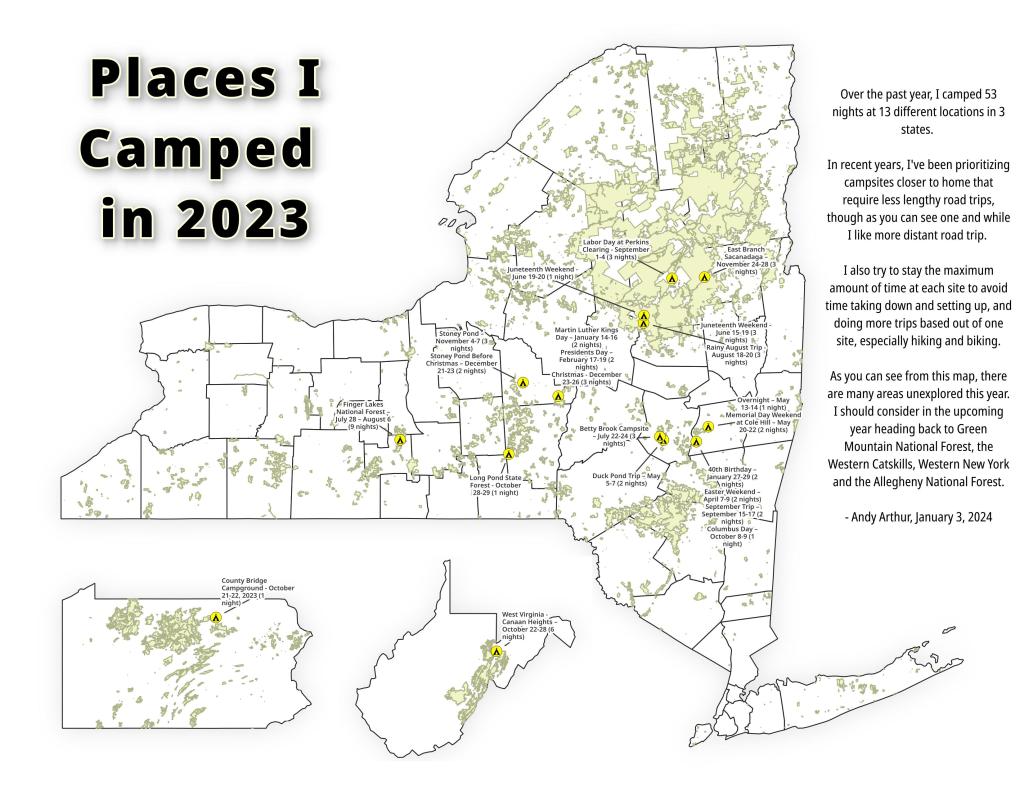
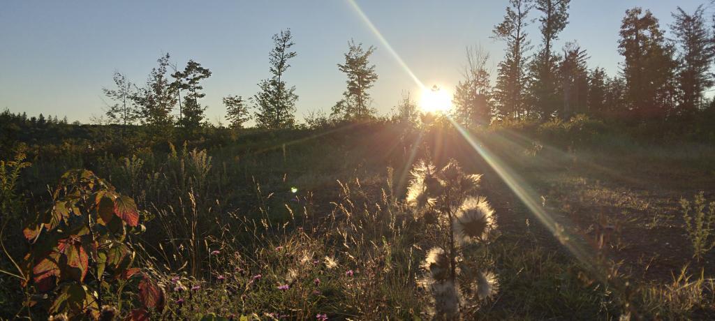
To start out my camping adventures in 2023, I drove out to Charles Baker State Forest and Brookfield Horse Camp. There wasn’t a lot of snow — just a dusting but it was a fun weekend, topped off by a beautiful sun-full glittery hike up Tassell Hill after a hoar frost. Explored Lost Pond and several of the trails in the middle of state forest.
For my fortieth birthday, I took off the Friday leading up to my 40th birthday to cross country ski and winter camp at Rensselaerville State Forest. It was a beautiful weekend with lots of blue skies, sufficient snow for skiing but not so much that was a ton of snowmobiles out on the trails.
I decided for Presidents Day Weekend to do another trip out to Charles Baker State Forest and Brookfield Horse Camp. Slightly more snow then last time but again largely a snow-less winter, with some nice days for hikes through the various truck and horse trails. I hiked around much of state forest, especially the more southern part of the forest.
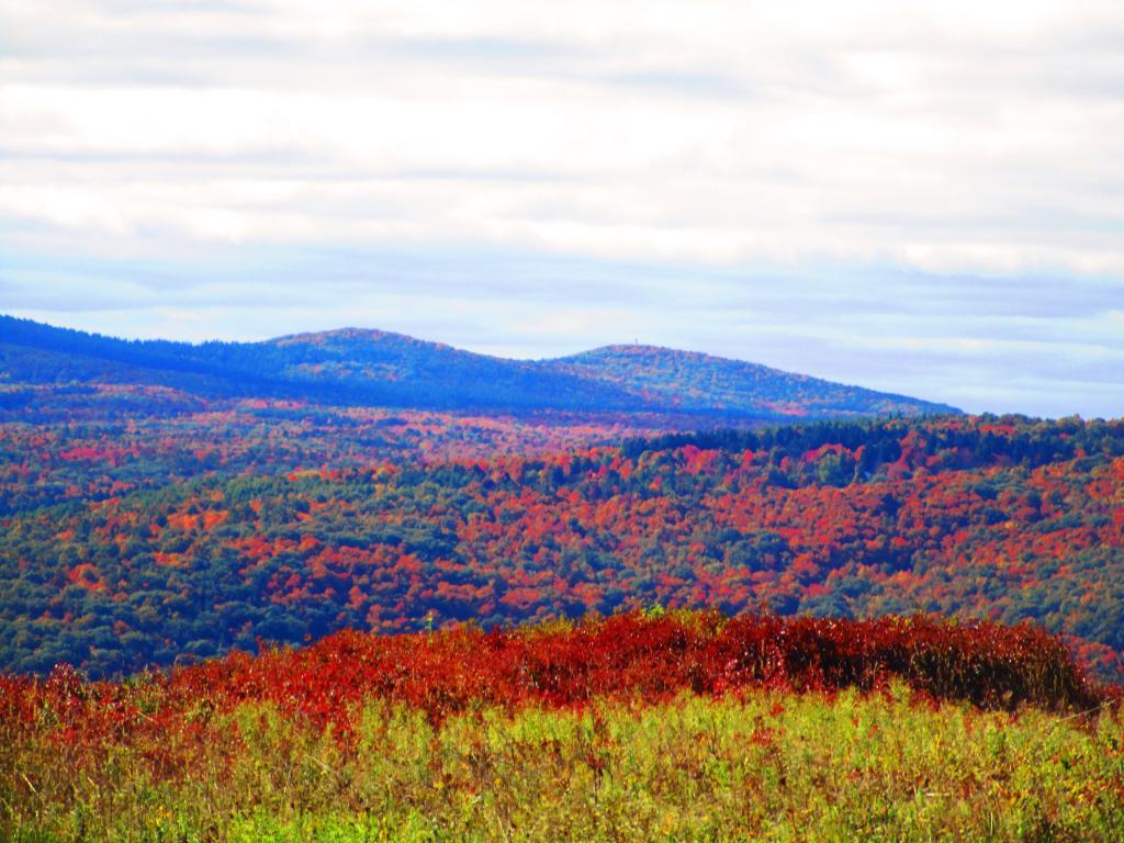
On Good Friday through Easter I camped at at Rensselaerville State Forest. The snow was gone and it was fairly mild though at times it was a bit cool. Spent a fair amount of time walking around and exploring the new OSI Parcel that has been recently added to state forest and is still largely open fields with sweeping views of the Catskill Mountains.
The first Friday in May I took a half day from work and headed out to Schoharie County to camp at Duck Pond at Burnt-Rossman Hills State Forest. Originally the plan was to camp two nights at Duck Pond, hiking along the Long Path and exploring the state forest and then on Sunday hiking the Catskill Scenic Trail. That part of the trip changed when driving along Duck Pond Road the low tire pressure light came on I found a pallet nail in my truck tire. I was able to top off the truck tire and then change the tire when I got home and got the nail pulled and plugged. But it wasn’t the best way ever to end a trip early.
After visiting the folks on Mother’s Day Weekend, I decided to do a quick overnight hammock camp on Cole Hill State Forest in Berne. Nothing fancy or formal, it was as much a way to test out sleeping in my hammock with the bug screen. Kind of a chilly night, I took camp down fairly and headed home early in the morning.
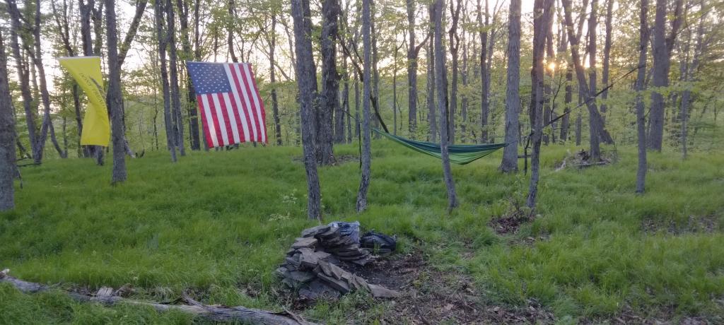
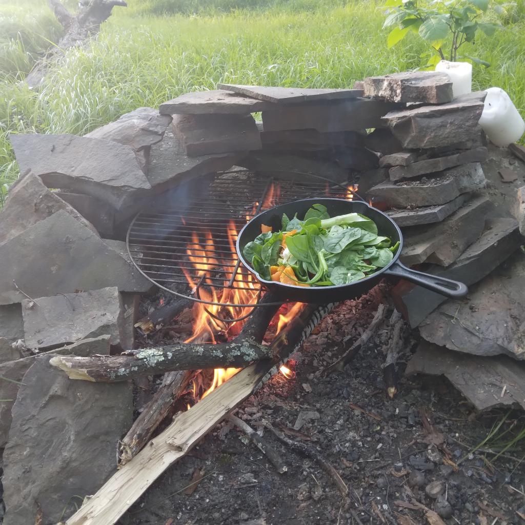
This year I decided to eschew the Adirondacks and Greene Mountains for Memorial Day Weekend due to the black flies, my desire to look at bicycles, and work I had to do on the Saturday morning leading up to the holiday weekend. I decided to hammock camp again Cole Hill State Forest in Berne. This was a three-day two night trip, so it it gave me a chance to bring more gear up the mountain, set up a more formal camp. Cooked on the fire, hiked around the forest. It was a warm weekend, but I enjoy the solitude, along with having good cell service for listening to podcasts and watching videos.
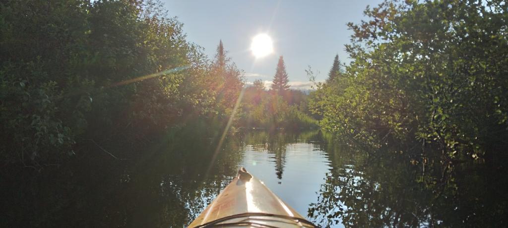
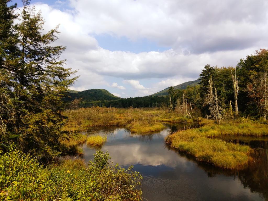
To kick off summer, I did my usual Juneteenth weekend camping trip, tacking on some days on the Juneteenth Holiday Weekend. It was a bit of a cool and rainy weekend to kick off summer, one that would actually be followed by many cool and rainy weekends where I would stay home. Camped at House Pond for the first three nights, spending time down floating in the tube on East Branch while the final night I camped up at Powley Bridge site and kayaked along the East Branch. Really, like often is the case, the best weather was the day I took down camp.
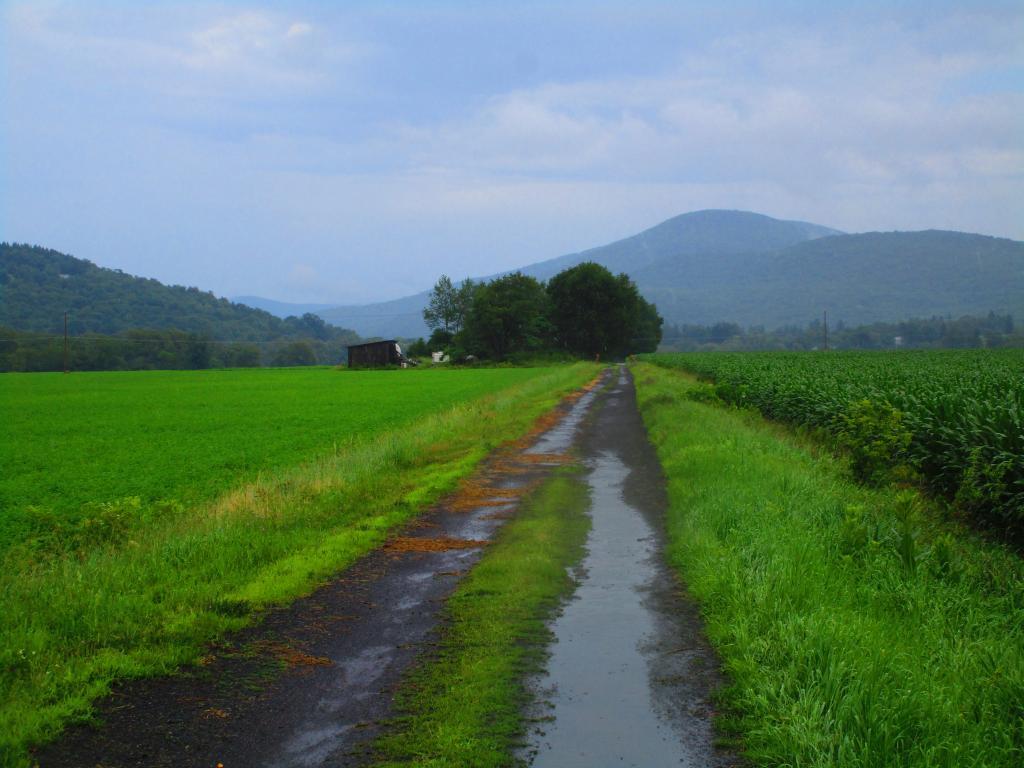
After several months of researching and visiting various bike shops, I finally got a mountain bike. I decided it would be fun to do as much of the Catskill Scenic Trail as I could before my summer vacation got underway. Actually did quite a bit of riding and hiking that weekend — started out hiking Pratts Rock’s then riding from Grand George to Hobart. Sunday, I rode from Fultonham to Middleburgh on NY 30, doing a quick climb up Vromans Nose, then stopping at the farm market then going to Mine Kill State Park to swim. Monday I rode from Hobart down to Bloomville, getting caught in a major thunderstorm and downpour a few miles north of Bloomville with no shelter in sight. The trail became super boggy, then I went to Mine Kill State Park for one more swim, and then out to folks house for Sunday dinner a day later then usual.
Every year for nearly a decade and a half I’ve been doing summer vacation out in the Finger Lakes — camping in the National Forest and exploring as much as possible during my days there. The past few years I’ve been driving there on a Friday, to get a better campsite before they’re taken by the weekend campers. This year was no exception. With Blackie, my mountain bike, I did nearly all of the bike trails in the near vicinity, from the Black Diamond Trail to the Cayuta Valley Trail to Dresden – Penn Yan Canal Trail. Kayaked on both Cayuga and Scenic Lakes, swam many days at Watkins Glen State Park and Taughannock State Park, explored the Cornell Campus and Botanical Gardens on my bike. Got some good ice cream at the Spotted Duck, explored the Geneva Waterfront along with the Cayuga-Seneca Canalway. Some rain but compared to the wet summer that was, this was a pretty good week.
The next few weeks for rainy and by the time I got away for one more long weekend, it promised to be fairly nice weekend but turned out to be fairly cool and cloudy with some rain. Back at the House Pond Campsite, did some swimming in East Branch, but with the mercury in the 60s most of the weekend, I didn’t spend a lot of time in the water. Hardly what I had dreamed when the I planned the weekend. Rode Blackie up to Goldmine Stream Falls and relaxed down by the falls for a bit, also sat down by the swimming hole off of the Old Edick Road Snowmobile Trail, watching the rain fall, bemoaning the wet and cold weather. Still it was good to get away for a bit, and I did do a fair amount of reading in hammock, under the protection of the bug net, as the bugs were bad after such a wet summer.
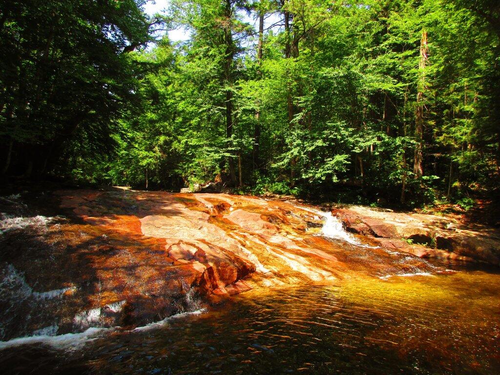
I took the Friday off before Labor Day to get a jump on the holiday season travel, and set up camp at the site I really enjoy up at Perkins Clearing overlooking the mountains. Did a fair amount of riding along the various dirt roads of Perkins Clearing, including over to Mason Lake and on Sunday rode most of the way to the Spruce Lake Trailhead, though didn’t make it there in time as I got a bit of a late start as I spent the balance of the day reading and swimming in the Jessup River Bridge swimming hole. Labor Day, I rode around the Spectulator Tree Farm, doing a large loop, through the tree farm, past the north end of Elm Lake, then down to Austin Falls and Old Route 8B. I had hoped to get ice cream, but by the time I got to the ice cream shop they were out of soft-ice cream, and there was a long line. Summer was dragging to a close.
With time being fairly tight and the weather only so-so I decided to do a two night trip close to home out in Rennselearville to ride some of the gravel trails, explore the OSI Parcel further and just enjoy an early autumn weekend camping.
Columbus Day Weekend was cold and rainy for the first half of the weekend, but the Sunday heading into Columbus Day was nice, so I decided to head out to Rensselaerville for a quick overnight at the campsite on CCC Road. Leaves were late this year, so not a lot of color, but it still was nice to get away for a night and ride some of the trails around.
The banner trip of the year was my trip down to West Virigina. While it started and ended in rain, it was a very enjoyable trip with lots of new adventures this year. Camped the balance of the week — 6 nights in Canaan Heights — doing day trips from that area. Overnighted one night driving down at County Bridge Campground in Pennsylvania, and a on the way back camped overnight at Long Pond State Forest in New York. Adventures in West Virginia included hiking at Dolly Sods, mountain biking at night in the sods of Canaan Heights, riding up and hiking to Table Rock, exploring Blackwater Falls State Park on the mountain bike, MonPower Mountain Bike Park, Thomas Rail Grade and the Olson Firetower. Rode part of the Great Allegheny Trail through the Cumberland Passage, and the two sections of the Chesapeake and Ohio Canalway, including the Paw Paw Tunnel.
A little over a week back from West Virginia, I headed out to Madison County to ride the Tassel Hill Mountain Bike Trails at Alfred Woodford, the Chenango Canal Trail in Hamilton and Erie Canalway from Chittenango to Green Lakes State Park and then to Canastota and Wampsville. The first night was cold at Stoney Pond but the subsequent nights were quite pleasant and mild.
![Old Canal Warehouse in Chittenango [Expires November 19 2023]](https://andyarthur.org//data/photo_005914_large.jpg)
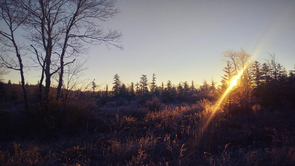
Strangely enough, I had never been up Prospect Mountain. So I decided the day after Thanksgiving (Black Friday) to hike up Prospect Mountain, and then spend the next two nights camping on East Branch of the Sacandaga River. The Saturday and Sunday was fairly cold, so I ended up spending the bulk of day hanging around camp, doing a bit of hiking around Fox Lair. Sunday, evening around 8 PM it started to sleet, then snow, then rain, Monday morning, it turned into a white globby snow, and I ended up taking down camp fairly early after discovering I was out of propane and then spent much of the day exploring the Hudson River Special Management Area – Buttermilk Falls.
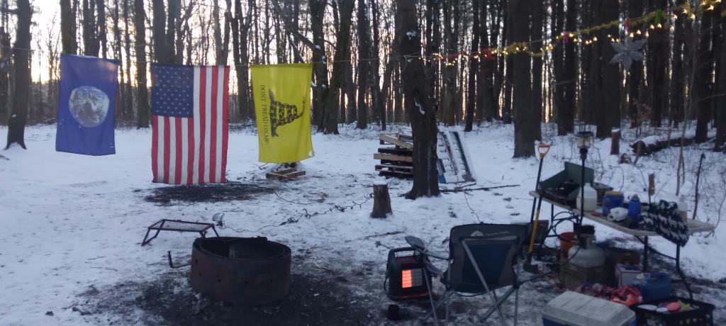
On the days leading up to Christmas I decided to take a second trip to Madison County. I was originally planning to camp two nights at Stoney Pond then two nights at the Charles Baker Horse Camp but my family’s holiday plans were cancelled due to illness in my family, so I ended up staying an extra night at the horse camp, through the day after Christmas. On Friday, I rode the Erie Canalway from Canastota to East Verona, nearly to Rome. On Christmas Day I rode around many of truck trails at Charles Baker with my mountain bike, leaving my face splattered with mud. Many of the days were fairly cold and cloudy, but that’s too be expected in late December. Still it was a special way to spend Christmas.
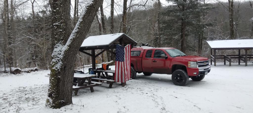
While I was warm and comfortable under the covers in my unheated truck cap last night my toes were cold and stiff. Cold getting up but the heater was warm as was the coffee and eggs with all the fixings. Didn’t get up until after seven as the morning was so cold and dark.
Good morning! Partly sunny and 17 degrees at the Stoney Pond State Forest. There is a south-southeast breeze at 5 mph. 🍃. Things will start to thaw out at around 1 pm. 🌡️
That coffee is good. ☕ Stove is still a bit slow from the plugging to got last time I was camping but it’s working fairly well. The heater is nice and warm. Eggs for breakfast. 🍳 Plus enjoying a grapefruit. 🍊Watching the sun rise this morning, very cold but still.
Today will be sunny 🌞, with a high of 33 degrees at 2pm. Three degrees below normal, which is similar to a typical day around January 5th. South wind around 6 mph. A year ago, we had mostly sunny skies in the morning, which became light snow by afternoon. The high last year was 34 degrees. The record high of 60 was set in 1990. 12.3 inches of snow fell back in 1969.❄
The plan for today is to visit Oxbow Falls County Park then head to Canastota. 🚲 I want to ride the Erie Canalway to Rome as time allows. Should be a good day, hoping it warms up a fair amount by midday. ☀ At least it shouldn’t be cloudy and it looks like the wind will die down.
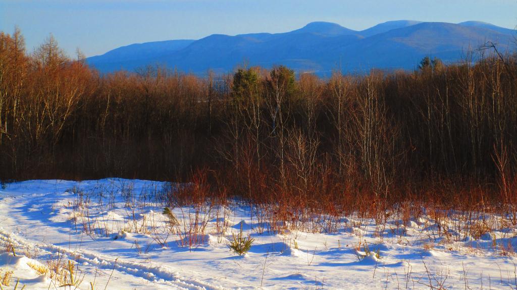
Solar noon 🌞 is at 12:02 pm with sun having an altitude of 23.7° from the due south horizon (-46.8° vs. 6/21). A six foot person will cast a 13.7 foot shadow today compared to 2.2 feet on the first day of summer. The golden hour 🏅 starts at 3:47 pm with the sun in the southwest (230°). 📸 The sunset is in the west-southwest (238°) with the sun dropping below the horizon at 4:33 pm after setting for 3 minutes and 26 seconds with dusk around 5:04 pm, which is 30 seconds later than yesterday. 🌇 At dusk you’ll see the Waxing Gibbous 🌔 Moon in the east-southeast (104°) at an altitude of 38° from the horizon, 232,306 miles away. 🚀 The best time to look at the stars is after 5:41 pm. At sunset, look for partly sunny skies 🌃 and temperatures around 31 degrees. There will be a south-southeast breeze at 6 mph. Today will have 9 hours and 4 minutes of daytime, a decrease of over yesterday.
Yesterday when I got to camp it was a mess. 🚯 There had apparently been a party 🍻 at the campsite since I was last here and a ton of broken glass, beer bottles and half burnt pallets everywhere. 🔥 Nails too, I’m a bit worried about getting one in my tires. I tried to pick things up to the best of my ability, at first sorting out as many of the recycling as possible ♻ but ultimately just scooping a lot up into the ever growing ash pile at the edge of the campsite.
Tonight will be partly cloudy 🌃 , with a low of 27 degrees at 6am. Six degrees above normal, which is similar to a typical night around December 2nd. Maximum wind chill around 23 at 6pm; South wind 6 to 9 mph. Much warmer than yesterday. In 2022, we had light rain in the evening, which and it cleared oytby the early hours of the morning. It got down to 9 degrees. The record low of -12 occurred back in 1955.
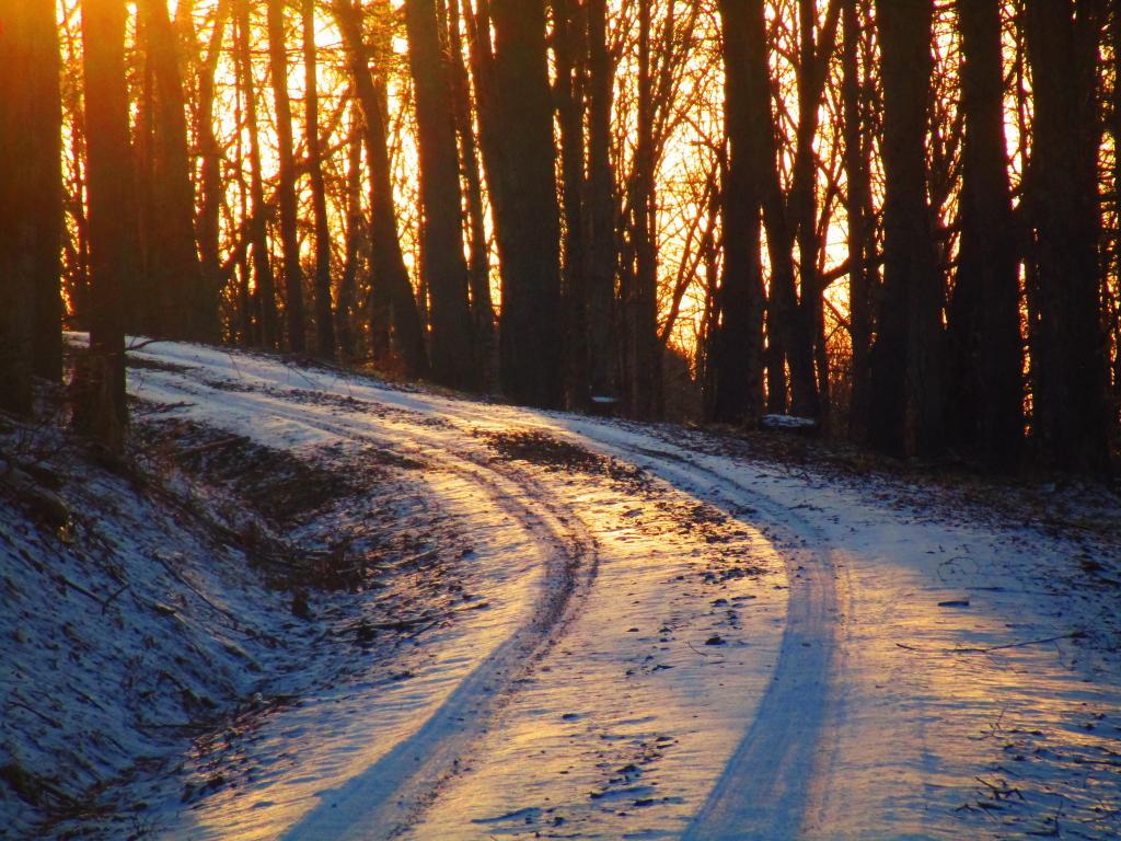
Last night 🌃 I had a nice camp fire 🔥 and the moonlight was great but it was cold ❄ with lows in the single digits and a breeze that slackened a bit as the night progressed. 🥓 The bacon I got was good though.
Tomorrow will have a slight chance of showers after 1pm. Mostly cloudy 🌦, with a high of 38 degrees at 2pm. Two degrees above normal, which is similar to a typical day around December 17th. South wind around 11 mph. Chance of precipitation is 20%. A year ago, we had mostly sunny skies in the morning, which became light snow by afternoon. The high last year was 53 degrees. The record high of 64 was set in 1990. 8.8 inches of snow fell back in 1947.❄
Looking ahead to Sunday, a chance of showers. Cloudy, with a high near 39. South wind 6 to 9 mph. Chance of precipitation is 40%. Typical average high for the weekend is 36 degrees.