1893 Peebles Island
A look at the Peebles Island over 125 years ago from historical topographic maps.
A look at the Peebles Island over 125 years ago from historical topographic maps.
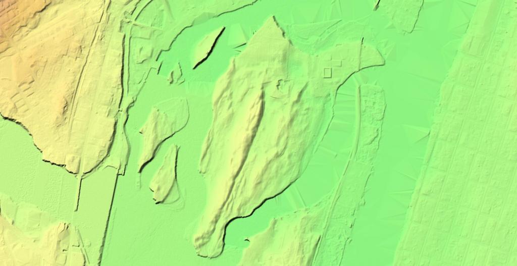
Peebles Island, perched high above the confluence of the Hudson and Mohawk Rivers has an interesting terrian to explore using LiDAR imaging and hillshade.
In my latest adventures with 3D mapping, I am exploring Peebles Island.
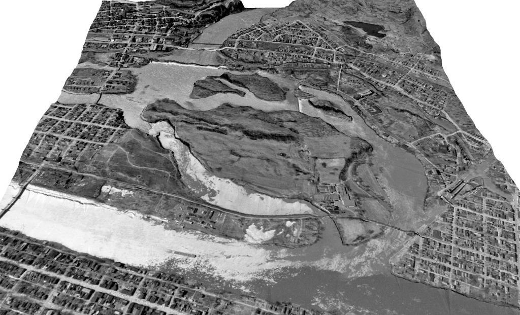
A rendering of the state park before it was a state park.
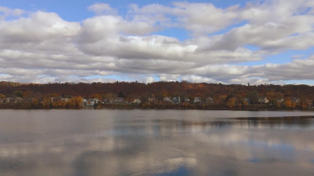
From the bridge over the Third Branch of the Mohawk.
Taken on Saturday November 11, 2023 at Peebles Island State Park.
A very tacky development to the south of Peebles Island. While relatively compact suburban housing, most of the units are built over garages, and it's all the same plywood and vinyl siding construction.
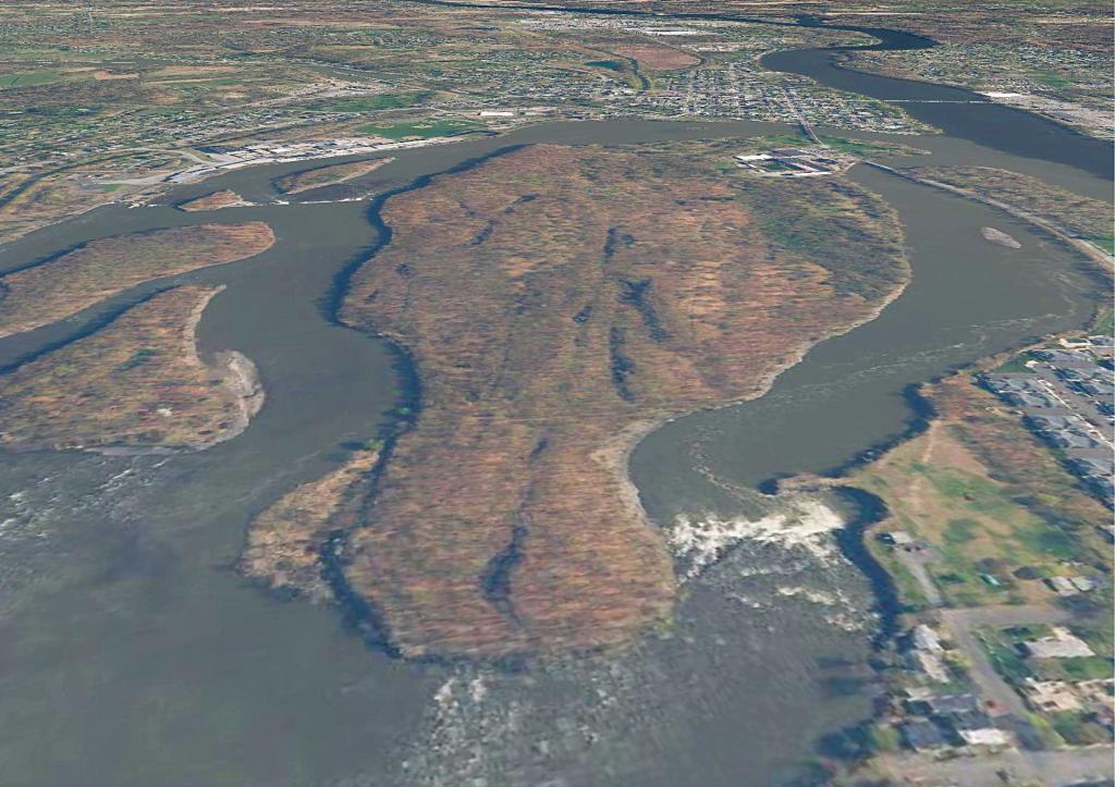
Taken on Saturday October 19, 2019 at Peebles Island State Park.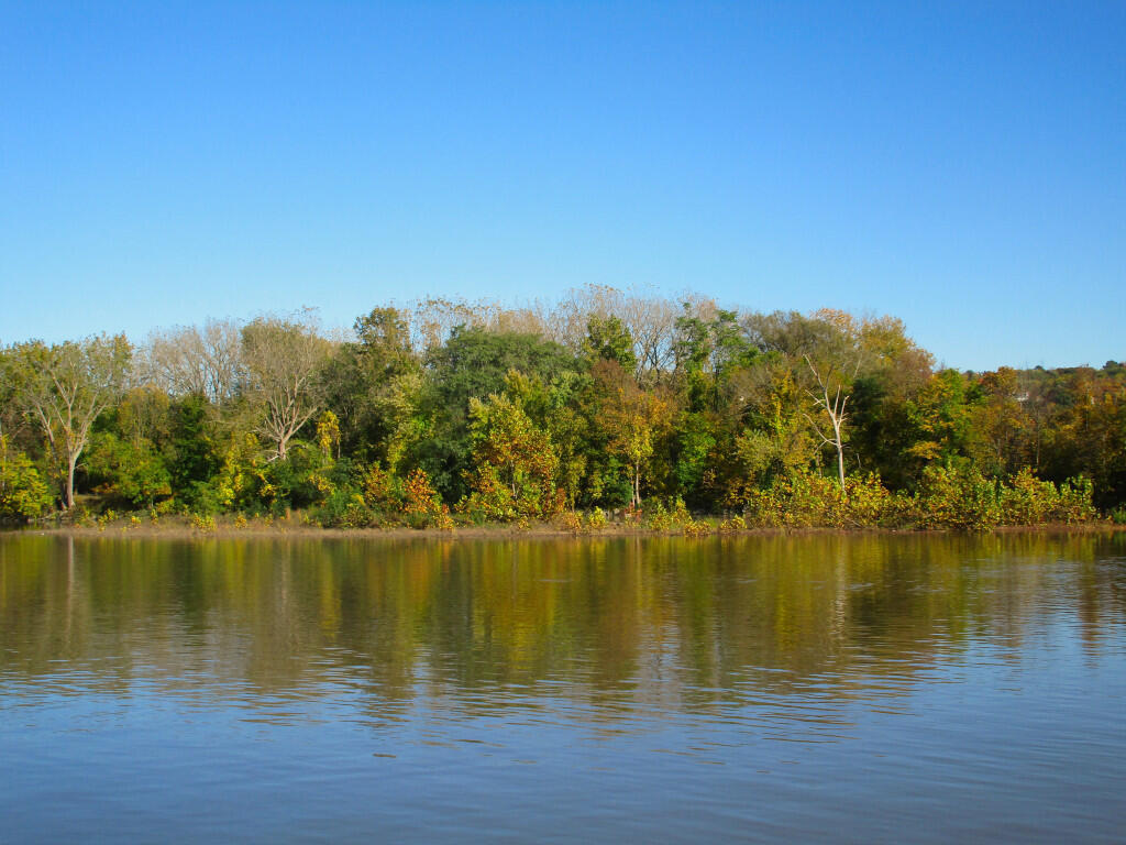
Some parts of the Mohawk and Hudson Rivers around Peebles Island are increadibly quiet, hiding the falls and dams that surround the island.
Taken on Saturday October 19, 2019 at Peebles Island State Park.