Spring?
The US Geographic Names Information System says its Towpath Mountain in Schoharie County, however the 1994 1:24k Breakabeen USGS Topographic Map calls it Toepath Mountain. The current National Map shows it as Towpath Mountain.
The 1977 1:24k NYSDOT Breakabeen Topographic map calls it Towpath Mountain but also shows on the same map Toe Path Mountain State Park as does the 1980 USGS Topographic Map. The 1949 USGS Breakabeen Topographic Map calls it Towpath Mountain. It unlabeled on the 1893 Schoharie 1:62k USGS Topographic Map.
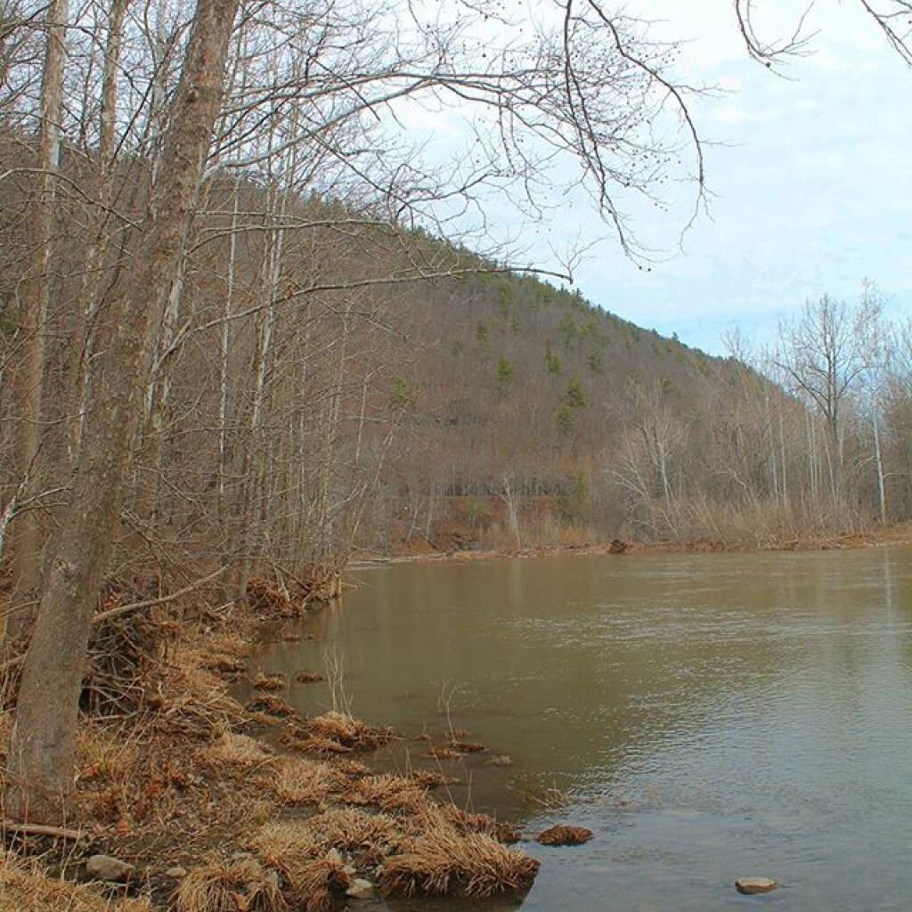
Under federal law, the US Geographic Names Information System is the official name of the mountain but its obvious that there are differences in opinion on what it should be spelled. That said, there is a some evidence that Towpath is a corruption of Toepath, as I’m not sure if there was ever a towpath along the Schoharie Creek which isn’t navigable.
Historical Topographic Maps https://livingatlas.arcgis.com/topoexplorer/index.html
US Geographic Names Information System https://edits.nationalmap.gov/apps/gaz-domestic/public/summary/967729