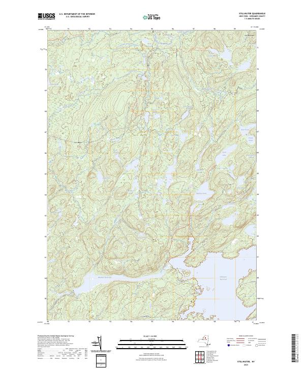
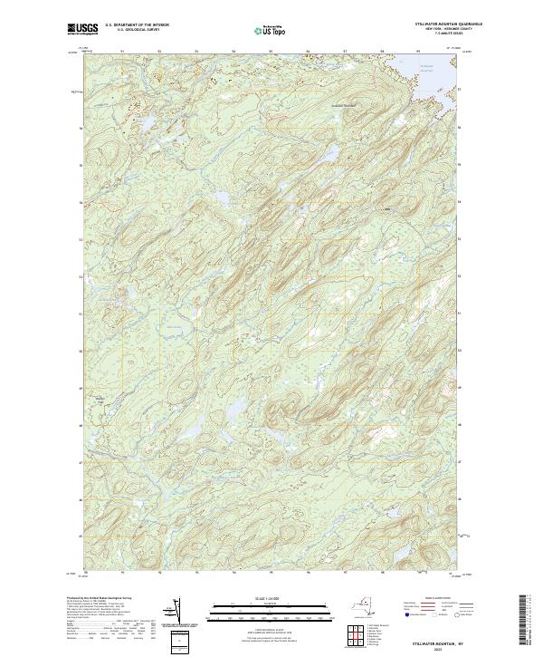
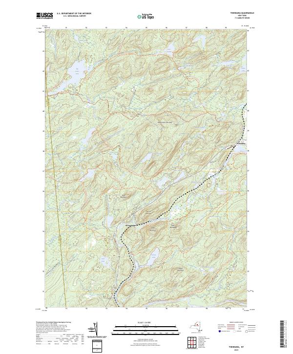
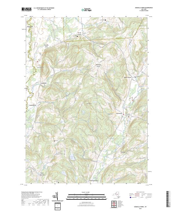
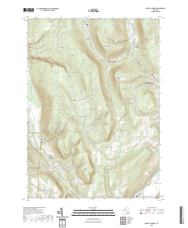
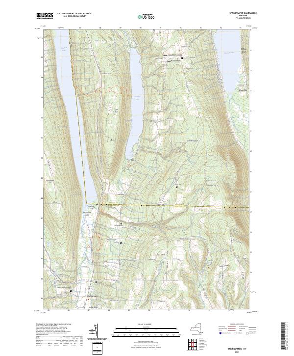
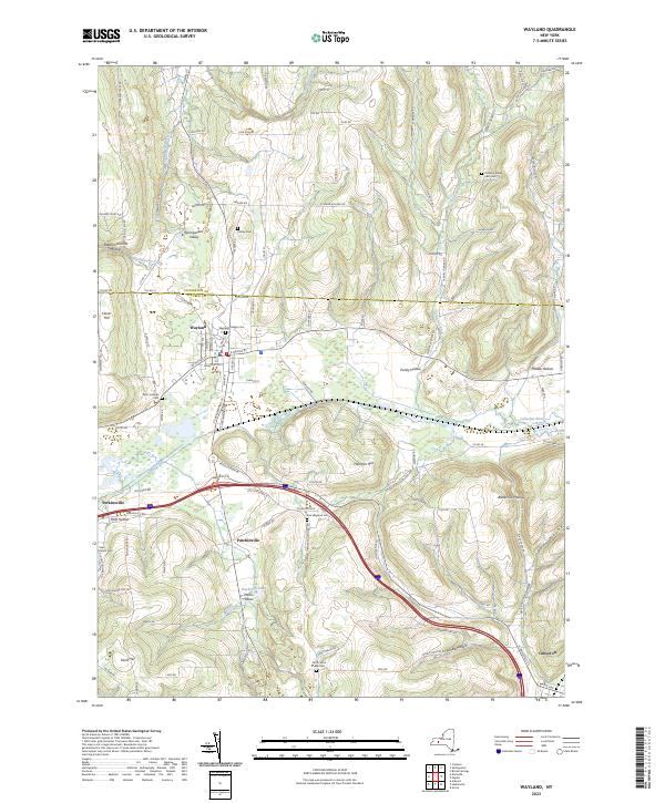
Search Results for: map twin mountain and indian head mountain

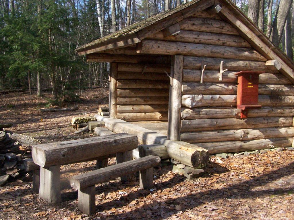
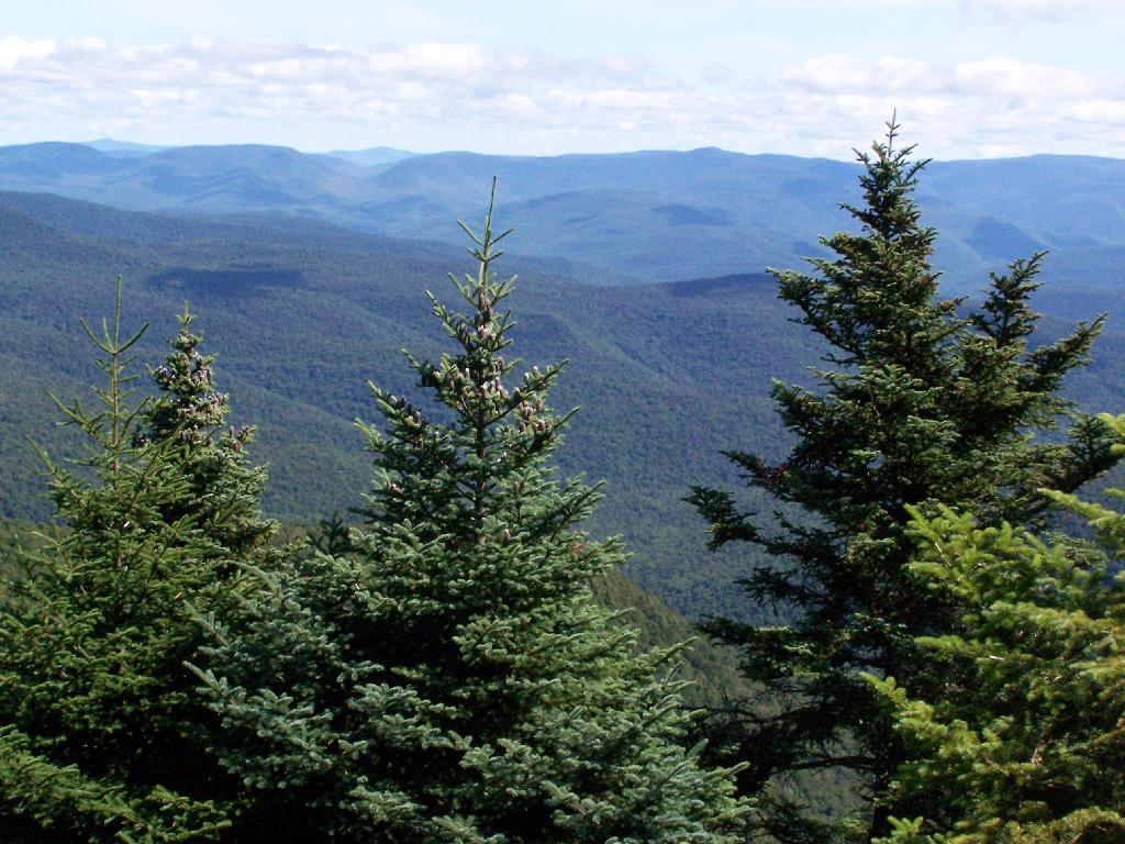
Devil’s Path

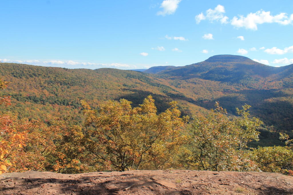
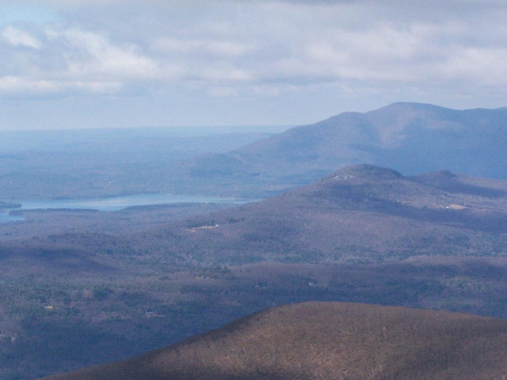
The Devil's Path is a challenging hiking trail located in the Catskill Mountains of New York State, renowned for its rugged terrain and demanding ascents and descents. Spanning approximately 25 miles in length, the Devil's Path traverses six major peaks within the Catskills, including Indian Head, Twin, Sugarloaf, Plateau, West Kill, and Hunter Mountains. This trail is notorious among hikers for its steep and rocky sections, as well as its significant elevation gains and losses. The Devil's Path offers stunning panoramic views of the surrounding wilderness.

The trail is divided into two main sections: the eastern and western halves, with each presenting its own set of challenges and scenic vistas. Hiking the entire Devil's Path is considered a formidable accomplishment and is often completed over the course of two or three days by experienced backpackers and outdoor enthusiasts.

Peaks Over 3,000 Feet Elevation in New York State

There are 229 summits in New York State greater then 3,000 feet elevation.

Tallest Peak Summit Name Elevation County USGS Topo Map Name State Land Trail Location
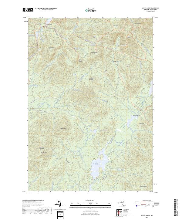
1 Mount Marcy 5,344 Essex Mount Marcy High Peaks Wilderness NA 44.112733,
-73.9237833
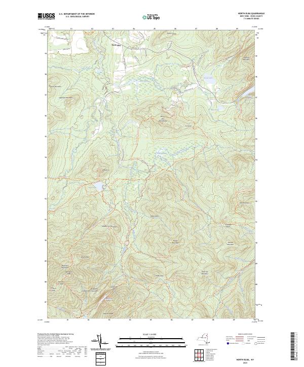
2 Algonquin Peak 5,105 Essex North Elba High Peaks Wilderness Algonquin Trail 44.1436636,
-73.9865357
3 Mount Haystack 4,924 Essex Mount Marcy High Peaks Wilderness Haystack Trail Via Barklet Ridge 44.1056093,
-73.9004196
4 Mount Skylight 4,908 Essex Mount Marcy High Peaks Wilderness Skylight Trail 44.0994987,
-73.9306986
5 Basin Mountain 4,852 Essex Mount Marcy High Peaks Wilderness State Range Trail 44.1211639,
-73.8862527
6 Iroquois Peak 4,829 Essex North Elba High Peaks Wilderness Iroquois Herd Path Via Boundary Peak 44.1369973,
-73.9982027
7 Boundary Peak 4,826 Essex North Elba High Peaks Wilderness Iroquois Herd Path Via Boundary Peak 44.1397749,
-73.9937582
8 Whiteface Mountain 4,816 Essex Lake Placid Whiteface Mountain Ski Center Whiteface Landing To Whiteface Mtn. Trail 44.3658804,
-73.9026456
9 Dix Mountain 4,813 Essex Dix Mountain High Peaks Wilderness Elk Lake To Dix Mountain Trail 44.0822756,
-73.7862471
10 Gray Peak 4,800 Essex Mount Marcy High Peaks Wilderness Mount Marcy Trail Via Opalescent River 44.1114427,
-73.9348658
11 Schofield Cobble 4,744 Essex Mount Marcy High Peaks Wilderness NA 44.1089427,
-73.9270876
12 Little Marcy 4,728 Essex Mount Marcy High Peaks Wilderness Van Hoevenberg Trail To Marcy 44.1197753,
-73.910976
13 Gothics 4,724 Essex Keene Valley High Peaks Wilderness Beaver Meadow Falls Trail 44.1281079,
-73.8570849
14 Mount Colden 4,708 Essex North Elba High Peaks Wilderness Mount Colden Via Lake Arnold 44.1269976,
-73.9598674
15 Beck-horn 4,695 Essex Dix Mountain High Peaks Wilderness Elk Lake To Dix Mountain Trail 44.0800534,
-73.7845802
16 Little Haystack 4,678 Essex Mount Marcy High Peaks Wilderness Haystack Trail Via Slant Rock 44.1103313,
-73.9004197
17 Giant Mountain 4,623 Essex Rocky Peak Ridge Giant Mountain Wilderness North Trail To Giant Mtn. 44.161165,
-73.720279
18 Mount Redfield 4,603 Essex Mount Marcy High Peaks Wilderness Mt Redfield Trail 44.094777,
-73.949866
19 Santanoni Peak 4,596 Essex Santanoni Peak High Peaks Wilderness Bradley Pond Trail 44.0822811,
-74.1309855
20 Wright Peak 4,564 Essex North Elba High Peaks Wilderness Wright Peak Spur Trail 44.1517187,
-73.9801468
21 Nippletop 4,554 Essex Dix Mountain High Peaks Wilderness Nipple Top Trail 44.0892202,
-73.8159708
22 Saddleback Mountain 4,534 Essex North Elba High Peaks Wilderness State Range Trail 44.1264414,
-73.8748634
23 Panther Peak 4,455 Essex Santanoni Peak High Peaks Wilderness Bradley Pond Trail 44.0983915,
-74.132097
24 Rocky Peak 4,403 Essex Rocky Peak Ridge Giant Mountain Wilderness East Trail To Giant Mtn. Via Rocky Peak Ridge 44.1542177,
-73.7051718
25 Macomb Mountain 4,396 Essex Dix Mountain High Peaks Wilderness Macomb-E. Dix Trail 44.0517211,
-73.7801349
26 Hough Peak 4,393 Essex Dix Mountain High Peaks Wilderness S. Dix-Hough Trail 44.0694981,
-73.7776352
27 Mount Marshall 4,380 Essex Street Mountain High Peaks Wilderness Mt Marshall Trail 44.1275538,
-74.0118142
28 Armstrong Mountain 4,360 Essex Keene Valley High Peaks Wilderness Adk Range Trail 44.1347741,
-73.8490291
29 Seward Mountain 4,327 Franklin Ampersand Lake High Peaks Wilderness Seymour Mountain Herd Path 44.1597799,
-74.1993239
30 Allen Mountain 4,321 Essex Mount Marcy High Peaks Wilderness Mt Redfield Trail 44.0708892,
-73.9395871
31 Table Top Mountain 4,295 Essex North Elba High Peaks Wilderness Table Top Mountain Trail 44.143663,
-73.9070876
32 Big Slide Mountain 4,232 Essex Keene Valley High Peaks Wilderness Big Slide Trail 44.1822721,
-73.8704202
33 Esther Mountain 4,232 Essex Franklin Falls Wilmington Wild Forest Esther Mt Trail 44.3869916,
-73.8898673
34 MacIntyre Mountains 4,193 Essex Street Mountain High Peaks Wilderness Mt Marshall Trail 44.1308868,
-74.008203
35 Lower Wolfjaw Mountain 4,190 Essex Keene Valley High Peaks Wilderness W.a. White Trail 44.1483845,
-73.8326399
36 Upper Wolfjaw Mountain 4,190 Essex Keene Valley High Peaks Wilderness Adk Range Trail 44.1406072,
-73.8451402
37 Slide Mountain 4,167 Ulster Peekamoose Mountain Slide Mountain Wilderness Burroughs Range Trail-Wittenberg-Cornell 41.9987034,
-74.3862617
38 Phelps Mountain 4,137 Essex North Elba High Peaks Wilderness Phelps Mtn. Trail 44.1569957,
-73.9209775
39 Cascade Mountain 4,094 Essex Keene Valley High Peaks Wilderness Casade Mountain Trail 44.2186594,
-73.860143
40 South Dix 4,088 Essex Dix Mountain High Peaks Wilderness Macomb-E. Dix Trail 44.060054,
-73.7743014
41 Lookout Mountain 4,078 Essex Franklin Falls Whiteface Mountain Ski Center Esther Mt Trail 44.3778249,
-73.887645
42 Donaldson Mountain 4,062 Franklin Ampersand Lake High Peaks Wilderness Seymour Mountain Herd Path 44.1539471,
-74.210991
43 Seymour Mountain 4,055 Franklin Ampersand Lake High Peaks Wilderness Seymour Mountain Herd Path 44.1578347,
-74.1721003
44 Colvin Range 4,049 Essex Dix Mountain High Peaks Wilderness Colvin Trail 44.0939424,
-73.8345829
45 Mount Colvin 4,049 Essex Dix Mountain High Peaks Wilderness Colvin Trail 44.0939424,
-73.8345829
46 Hunter Mountain 4,045 Greene Hunter Hunter-West Kill Wilderness Spruceton Trail 42.1778662,
-74.2304216
47 Mount Emmons 4,022 Franklin Ampersand Lake High Peaks Wilderness Northville-Placid Trail 44.1436698,
-74.2140464
48 Street Mountain 4,022 Essex Street Mountain High Peaks Wilderness Street Mountain Trail 44.1797741,
-74.0437616
49 Grace Peak 4,006 Essex Dix Mountain High Peaks Wilderness Macomb-E. Dix Trail 44.0653314,
-73.7573564
50 Yard Mountain 3,999 Essex North Elba High Peaks Wilderness Big Slide Trail Via Yard Mtn. 44.1747725,
-73.8845874
51 MacNaughton Mountain 3,983 Essex Street Mountain High Peaks Wilderness Wall Face Ponds Trail 44.1397768,
-74.064317
52 Dial Mountain 3,980 Essex Dix Mountain High Peaks Wilderness Leach Trail 44.1058859,
-73.7959703
53 Blake Peak 3,976 Essex Dix Mountain High Peaks Wilderness Pinnacle Trail 44.081443,
-73.844583
54 Green Mountain 3,976 Essex Rocky Peak Ridge Giant Mountain Wilderness North Trail To Giant Mtn. 44.182272,
-73.714858
55 Black Dome 3,973 Greene Freehold Windham-Blackhead Range Wilderness Blackhead Range Trail 42.2700864,
-74.1226382
56 Thomas Cole Mountain 3,944 Greene Hensonville Windham-Blackhead Range Wilderness Blackhead Range Trail 42.2709196,
-74.1365275
57 Cliff Mountain 3,940 Essex Mount Marcy High Peaks Wilderness Mount Marcy Trail Via Opalescent River 44.1031102,
-73.9751452
58 McDonnel Mountain 3,940 Essex Mount Marcy High Peaks Wilderness Mt Redfield Trail 44.0803332,
-73.9340315
59 Blackhead 3,930 Greene Freehold Windham-Blackhead Range Wilderness Blackhead Mountain Spur Trail 42.2678644,
-74.1045818
60 West Kill Mountain 3,891 Greene Lexington Hunter-West Kill Wilderness Devil’s Path 42.1678663,
-74.2895904
61 Doubletop Mountain 3,875 Ulster Seager NA Seager Big Indian Trail 42.0275913,
-74.5282095
62 Nye Mountain 3,871 Essex Street Mountain High Peaks Wilderness Nye Mountain Trail 44.1931062,
-74.0240387
63 Kilburn Mountain 3,868 Essex Lake Placid Sentinel Range Wilderness Copperas Owen Pond Trl 44.3028247,
-73.8818114
64 Moose Mountain 3,868 Essex McKenzie Mountain Mckenzie Mountain Wilderness Mckenzie Mtn. Trail 44.3506029,
-74.0032049
65 Howard Mountain 3,852 Essex North Elba High Peaks Wilderness Klondike Notch Trail 44.1583844,
-73.8912539
66 Cornell Mountain 3,848 Ulster Phoenicia Slide Mountain Wilderness Burroughs Range Trail-Wittenberg-Cornell 42.0014812,
-74.3568163
67 Graham Mountain 3,848 Ulster Seager NA Seager Big Indian Trail 42.0392576,
-74.5495986
68 Plateau Mountain 3,845 Greene Hunter Indian Head Wilderness Devil’s Path 42.1378671,
-74.1743088
69 McKenzie Mountain 3,842 Essex McKenzie Mountain Mckenzie Mountain Wilderness Mckenzie Mtn. Trail 44.3361593,
-74.0320951
70 Rist Mountain 3,839 Essex Mount Marcy High Peaks Wilderness Boreas Road 44.027559,
-73.987366
71 Sentinel Mountain 3,835 Essex Keene Sentinel Range Wilderness Winch Pond 44.3061581,
-73.8523658
72 Lyon Mountain 3,829 Clinton Moffitsville Chazy Highlands Wild Forest New Lyon Mountain Trail 44.7036537,
-73.8645877
73 T R Mountain 3,829 Essex North Elba High Peaks Wilderness Lake Arnold Crossover 44.143941,
-73.9354222
74 Snowy Mountain 3,825 Hamilton Snowy Mountain NA Snowy Mt 43.7003432,
-74.3859856
75 Table Mountain 3,819 Ulster Peekamoose Mountain Slide Mountain Wilderness Peekamoose-Table Trail 41.9587036,
-74.4048739
76 Peekamoose Mountain 3,812 Ulster Peekamoose Mountain Slide Mountain Wilderness Peekamoose-Table Trail 41.9531481,
-74.398207
77 Avalanche Mountain 3,809 Essex North Elba High Peaks Wilderness Avalanche Pass Trail 44.1361639,
-73.9695903
78 Averill Peak 3,806 Clinton Lyon Mountain Chazy Highlands Wild Forest New Lyon Mountain Trail 44.6928208,
-73.8809768
79 Sugarloaf Mountain 3,806 Greene Hunter Indian Head Wilderness Devil’s Path 42.1312006,
-74.1501414
80 Couchsachraga Peak 3,793 Essex Santanoni Peak High Peaks Wilderness Cold River Horse Trail 44.0956146,
-74.1601539
81 Boreas Mountain 3,779 Essex Mount Marcy NA Gulf Brook Road 44.0031138,
-73.8806937
82 Wittenberg Mountain 3,766 Ulster Phoenicia Slide Mountain Wilderness Burroughs Range Trail-Wittenberg-Cornell 42.0081478,
-74.3473716
83 Panther Mountain 3,763 Hamilton Snowy Mountain NA Snowy Mt 43.7367317,
-74.3907093
84 Burroughs Range 3,760 Ulster Phoenicia Slide Mountain Wilderness Burroughs Range Trail-Wittenberg-Cornell 42.0084255,
-74.3476494
85 Blue Mountain 3,750 Hamilton Blue Mountain Lake Blue Mountain Wild Forest Blue Mountain Trail 43.8725634,
-74.4009917
86 Porter Mountain 3,750 Essex Keene Valley High Peaks Wilderness Porter Mountain Trail Via Marcy Field 44.2153262,
-73.8434754
87 Wakely Mountain 3,750 Hamilton Wakely Mountain Wakely Mountain Primitive Area Wakely Mountain Trail 43.7358986,
-74.5151595
88 Little Nippletop 3,720 Essex Mount Marcy High Peaks Wilderness Elk Lake To Marcy Trail 44.0853327,
-73.9201422
89 Wallface Mountain 3,720 Essex Street Mountain High Peaks Wilderness Indian Pass Trail 44.1378317,
-74.0365378
90 Panther Mountain 3,714 Ulster Shandaken Slide Mountain Wilderness Giant Ledge-Panther Mountian-Fox Hollow Trail 42.0564799,
-74.3945946
91 Balsam Lake Mountain 3,707 Ulster Seager Balsam Lake Mountain Wild Forest Balsam Lake Mountain Trail 42.0459236,
-74.5940438
92 Henderson Mountain 3,707 Essex Mount Adams High Peaks Wilderness Bradley Pond Trail 44.0978353,
-74.0976509
93 Hoffman Mountain 3,701 Essex Blue Ridge Hoffman Notch Wilderness Hoffman Notch Trail 43.9114489,
-73.8168
94 Lone Mountain 3,697 Ulster Peekamoose Mountain Slide Mountain Wilderness Peekamoose-Table Trail 41.9692592,
-74.3893177
95 Big Indian Mountain 3,694 Ulster Shandaken Big Indian Wilderness Pine Hill West Branch Trail 42.0350915,
-74.4965421
96 Hurricane Mountain 3,688 Essex Rocky Peak Ridge Hurricane Mountain Wilderness East Hurricane Mtn Trial 44.235326,
-73.7106926
97 Friday Mountain 3,681 Ulster West Shokan Slide Mountain Wilderness Burroughs Range Trail-Wittenberg-Cornell 41.9875924,
-74.3620944
98 Rusk Mountain 3,678 Greene Lexington Rusk Mountain Wild Forest Spruceton Trail 42.2006434,
-74.2770897
99 Cheney Cobble 3,674 Essex Mount Marcy High Peaks Wilderness East River Trail 44.0445021,
-73.9648654
100 Lewey Mountain 3,665 Hamilton Snowy Mountain West Canada Lake Wilderness Sucker Brook Trail 43.6642328,
-74.4412649
101 Seward Mountains 3,665 Franklin Ampersand Lake High Peaks Wilderness Calkins Creek Truck Trail 44.1561694,
-74.2148801
102 Santanoni Mountains 3,661 Essex Santanoni Peak High Peaks Wilderness Bradley Pond Trail 44.0881144,
-74.138486
103 Buell Mountain 3,652 Hamilton Snowy Mountain NA Snowy Mt 43.7161764,
-74.4065426
104 High Peak 3,645 Greene Kaaterskill Clove Kaaterskill Wild Forest Kaaterskill High Peak Trail 42.1620334,
-74.0801381
105 Little Whiteface Mountain 3,638 Essex Lake Placid Whiteface Mountain Ski Center Whiteface Landing To Whiteface Mtn. Trail 44.3558804,
-73.891534
106 Burtons Peak 3,632 Essex Keene Valley NA The Brothers Trail 44.1925,
-73.8586111
107 Fir Mountain 3,629 Ulster Shandaken Big Indian Wilderness Pine Hill West Branch Trail 42.0275916,
-74.4690414
108 Twin Mountain 3,629 Greene Hunter Indian Head Wilderness Devil’s Path 42.1256453,
-74.1290294
109 Little Moose Mountain 3,609 Hamilton Wakely Mountain Little Moose Wilderness Otter Brook Trail 43.6700663,
-74.5707151
110 Balsam Mountain 3,606 Ulster Shandaken Big Indian Wilderness Pine Hill West Branch Trail 42.0909235,
-74.4882082
111 Calamity Mountain 3,606 Essex Mount Adams High Peaks Wilderness Calamity Brook Trail 44.1028328,
-74.0043132
112 Sunrise Mountain 3,606 Essex Dix Mountain High Peaks Wilderness Elk Lake To Dix Mountain Trail 44.0247778,
-73.7904124
113 Balsam Cap 3,602 Ulster West Shokan Slide Mountain Wilderness Burroughs Range Trail-Wittenberg-Cornell 41.9770369,
-74.3573722
114 Stewart Mountain 3,602 Essex Keene Sentinel Range Wilderness Winch Pond 44.3261581,
-73.8562549
115 North Dome 3,596 Greene Lexington Hunter-West Kill Wilderness Devil’s Path 42.1734217,
-74.3490366
116 Pillsbury Mountain 3,589 Hamilton Spruce Lake West Canada Lake Wilderness Pillsbury Mountain Trail 43.580901,
-74.5120992
117 Slide Mountain 3,586 Essex Lake Placid Sentinel Range Wilderness Barkeater Cliffs Campsite Trail 44.2767136,
-73.8862561
118 Eagle Mountain 3,573 Ulster Seager Big Indian Wilderness Pine Hill West Branch Trail 42.0620352,
-74.50932
119 Dun Brook Mountain 3,563 Hamilton Dun Brook Mountain NA Deer Pond Road 43.890897,
-74.3187666
120 Saddleback Mountain 3,560 Essex Jay Mountain Jay Mountain Wilderness Jay Mountain Trail 44.2953258,
-73.6676367
121 Indian Head Mountain 3,553 Greene Woodstock Indian Head Wilderness Devil’s Path 42.116201,
-74.1145846
122 Fishing Brook Mountain 3,550 Essex Dun Brook Mountain Blue Mountain Wild Forest Deer Pond Road 43.9342303,
-74.2946002
123 Mount Sherrill 3,550 Greene Lexington Hunter-West Kill Wilderness Devil’s Path 42.1756439,
-74.3729262
124 Gooseberry Mountain 3,540 Essex Keene Valley High Peaks Wilderness Orebed Brook Trail 44.1367187,
-73.8731969
125 Bearpen Mountain 3,530 Delaware Prattsville Bearpen Mountain State Forest Access Trail 42.2734189,
-74.4840396
126 Vly Mountain 3,530 Greene West Kill Bearpen Mountain State Forest Snowmobile Trail 42.2453645,
-74.4459834
127 Windham High Peak 3,527 Greene Hensonville Windham-Blackhead Range Wilderness Escarpment Trail 42.3148069,
-74.1434718
128 Halcott Mountain 3,524 Greene West Kill Halcott Mountain Wild Forest Condon Hollow Rd. 42.1800882,
-74.4379281
129 Mount Adams 3,520 Essex Mount Adams High Peaks Wilderness Mt Adams Trail 44.0867231,
-74.0257027
130 Pitchoff Mountain 3,501 Essex North Elba Sentinel Range Wilderness Pitchoff Mountain Trail 44.2375474,
-73.8776443
131 Noonmark Mountain 3,491 Essex Keene Valley High Peaks Wilderness Stimson Trail 44.1289404,
-73.7720809
132 Rocky Mountain 3,478 Ulster West Shokan Slide Mountain Wilderness Peekamoose-Table Trail 41.9728703,
-74.3726505
133 Little Santanoni Mountain 3,471 Essex Santanoni Peak High Peaks Wilderness Moose Pond Horse Trail 44.0731156,
-74.1670981
134 Spotted Mountain 3,461 Essex Underwood High Peaks Wilderness Macomb-E. Dix Trail 44.0769975,
-73.7440228
135 Manbury Mountain 3,455 Hamilton Wakely Mountain Little Moose Wilderness Otter Brook Trail 43.6653442,
-74.5532143
136 Blue Ridge Mountain 3,451 Essex Blue Ridge Hoffman Notch Wilderness Hoffman Notch Trail 43.9247817,
-73.8148558
137 Roundtop 3,451 Delaware Prattsville Bearpen Mountain State Forest Ski Run Road 42.2939737,
-74.4904283
138 Roundtop Mountain 3,451 Greene Kaaterskill Clove Kaaterskill Wild Forest Kaaterskill High Peak Trail 42.1684222,
-74.094583
139 Olderbark Mountain 3,438 Greene Bearsville Indian Head Wilderness Mink Hollow Trail 42.1142565,
-74.1909765
140 Puffer Mountain 3,438 Hamilton Bullhead Mountain Siamese Ponds Wilderness Puffer Pond Brook Trail 43.6617318,
-74.1993082
141 Morgan Mountain 3,432 Essex Wilmington Wilmington Wild Forest Cooper Kill Trail 44.4186582,
-73.8593108
142 Wolf Pond Mountain 3,425 Essex Cheney Pond NA Gulf Brook Road 43.9892253,
-73.8781933
143 Stoppel Point 3,422 Greene Kaaterskill Clove Windham-Blackhead Range Wilderness Escarpment Trail 42.2250879,
-74.0651364
144 Huntersfield Mountain 3,419 Greene Ashland Huntersfield State Forest Huntersfield Access Trail #8/Long Path Access 42.355638,
-74.3465339
145 Cellar Mountain 3,405 Hamilton Wakely Mountain Moose River Plains Wild Forest Cellar Pond Trail 43.7122879,
-74.5429375
146 Haynes Mountain 3,405 Ulster Seager Big Indian Wilderness Pine Hill West Branch Trail 42.0792571,
-74.5079309
147 Sawtooth Mountains 3,402 Franklin Street Mountain High Peaks Wilderness Northville-Placid Trail 44.1928314,
-74.1134874
148 Bear Den Mountain 3,389 Essex Dix Mountain High Peaks Wilderness Leach Trail 44.1194964,
-73.792915
149 Pinnacle 3,389 Essex Dix Mountain High Peaks Wilderness Pinnacle Trail Spur To Summit 44.0583887,
-73.8640277
150 Vanderwhacker Mountain 3,389 Essex Vanderwhacker Mountain Vanderwhacker Mountain Wild Forest Vanderwhacker Firetower Trail 43.8983963,
-74.0959781
151 Jay Mountain 3,379 Essex Jay Mountain Jay Mountain Wilderness Jay Mountain Trail 44.3125477,
-73.685693
152 Spruce Top 3,379 Greene Hunter NA Devil’s Path 42.1506447,
-74.1679195
153 Spruce Mountain 3,376 Ulster Shandaken Big Indian Wilderness Phoenicia East Branch Trail 42.0175919,
-74.4498744
154 Belle Ayr Mountain 3,373 Ulster Shandaken Belleayre Mountain Ski Center NA 42.1159229,
-74.4979304
155 Evergreen Mountain 3,369 Greene Lexington Rusk Mountain Wild Forest Devil’s Path 42.2117542,
-74.3079238
156 Hedgehog Mountain 3,366 Essex Keene Valley High Peaks Wilderness Rooster Comb And Hedgehog Trail 44.159495,
-73.8109724
157 Balsam Mountain 3,353 Greene West Kill Hunter-West Kill Wilderness Condon Hollow Rd. 42.1836992,
-74.387371
158 Kempshall Mountain 3,350 Hamilton Kempshall Mountain High Peaks Wilderness Northville-Placid Trail 44.0236734,
-74.3271041
159 Buck Mountain 3,346 Hamilton Snowy Mountain West Canada Lake Wilderness Snowy Mt 43.6947879,
-74.4368212
160 Mount Pisgah 3,340 Delaware Margaretville NA Mountain Brook Road 42.2211973,
-74.7357125
161 MacDonough Mountain 3,320 Essex Jay Mountain Jay Mountain Wilderness Jay Mountain Trail 44.3050482,
-73.644025
162 Debar Mountain 3,317 Franklin Debar Mountain Debar Mountain Wild Forest Debar Mountain Trail 44.6033852,
-74.2204351
163 Bullhead Mountain 3,314 Warren Bullhead Mountain Siamese Ponds Wilderness John Pond Crossover Trail 43.7017316,
-74.1804199
164 Laramore Mountain 3,314 Essex Keene Valley High Peaks Wilderness Casade Mountain Trail 44.2258813,
-73.8501427
165 Tripod Mountain 3,307 Essex Rocky Peak Ridge Giant Mountain Wilderness Hopkin Via Direct Trail 44.1983824,
-73.736248
166 Metcalf Mountain 3,304 Hamilton Blue Mountain Lake Blue Ridge Wilderness Gould Road 43.7522873,
-74.4957146
167 Wyman Mountain 3,304 Essex Underwood High Peaks Wilderness Macomb-E. Dix Trail 44.0581093,
-73.7445779
168 Jay Mountains 3,297 Essex Jay Mountain Jay Mountain Wilderness Jay Mountain Trail 44.308659,
-73.6704147
169 Eleventh Mountain 3,294 Warren Bakers Mills Siamese Ponds Wilderness Bog Meadow Trail 43.6142322,
-74.0720783
170 Schultice Mountain 3,284 Delaware Roxbury NA Ski Run Road 42.3186948,
-74.5157062
171 Cellar Mountain 3,281 Hamilton Snowy Mountain West Canada Lake Wilderness Sucker Brook Trail 43.6411776,
-74.4443199
172 Plattekill Mountain 3,268 Delaware Hobart Plattekill State Forest Mountain Brook/ Harold Roberts Access Trail 42.2667522,
-74.6482102
173 South Pond Mountain 3,258 Hamilton South Pond Mountain Siamese Ponds Wilderness County Line Brook Trail 43.5900656,
-74.2204175
174 Hemlock Mountain 3,248 Ulster Shandaken Big Indian Wilderness Phoenicia East Branch Trail 42.0128698,
-74.4390407
175 Peaked Mountain 3,235 Essex Jay Mountain Hurricane Mountain Wilderness Soda Range Trail 44.2656034,
-73.6993039
176 Onteora Mountain 3,232 Greene Hunter NA Blackhead Range Trail 42.2223098,
-74.1679184
177 Kitty Cobble 3,225 Hamilton Wakely Mountain West Canada Lake Wilderness Otter Brook Trail 43.6295111,
-74.6229377
178 Baldwin Hill 3,218 Essex Franklin Falls Mckenzie Mountain Wilderness Esther Mt Trail 44.3847694,
-73.9195905
179 Richmond Mountain 3,218 Greene Ashland Mount Pisgah State Forest Long Path Hiking Trail 42.367582,
-74.270976
180 Squaw Mountain 3,218 Hamilton Indian Lake NA Snowy Mt 43.7270094,
-74.3420956
181 Dug Mountain 3,215 Hamilton Kunjamuk River NA Long Pond Trail 43.583122,
-74.345146
182 Hamilton Mountain 3,215 Hamilton Wells Silver Lake Wilderness West River Road 43.412013,
-74.3673645
183 Mount Alton 3,212 Essex Lake Placid Mckenzie Mountain Wilderness Whiteface Mountain Trail 44.3717139,
-73.9662589
184 Utsayantha Mountain 3,209 Delaware Stamford NA Ward Allen Road 42.3992472,
-74.5895953
185 Van Wyck Mountain 3,202 Ulster Peekamoose Mountain Slide Mountain Wilderness Phoenicia East Branch Trail 41.9523147,
-74.4354304
186 Colonels Chair 3,199 Greene Hunter NA Colonel’s Chair Trail 42.2006434,
-74.2306991
187 Gore Mountain 3,199 Warren Gore Mountain Gore Mountain Ski Center Schaefer Trail 43.6764539,
-74.035134
188 Chase Mountain 3,192 Essex Rocky Peak Ridge Hurricane Mountain Wilderness North Hurricane Trail 44.2417145,
-73.7248599
189 Knob Lock Mountain 3,192 Essex Rocky Peak Ridge Giant Mountain Wilderness Hurricane Trail From 9n 44.2003271,
-73.7073583
190 McGregor Mountain 3,192 Delaware Stamford Stamford Fp Detached Parcel Relay Public Forest Access Road 42.3900808,
-74.5790396
191 Weston Mountain 3,192 Essex Jay Mountain Hurricane Mountain Wilderness Soda Range Trail 44.2642144,
-73.7079152
192 Burnt Knob 3,189 Greene Freehold Windham-Blackhead Range Wilderness Escarpment Trail 42.3020297,
-74.1190264
193 Burgess Mountain 3,189 Hamilton Rock Lake NA Bear Trap Brook Trail 43.7520092,
-74.3565416
194 North Mountain 3,186 Greene Kaaterskill Clove Windham-Blackhead Range Wilderness Escarpment Trail 42.2175881,
-74.0487469
195 Payne Mountain 3,182 Hamilton Snowy Mountain Moose River Plains Wild Forest Northville-Placid Trail 43.7231211,
-74.4951582
196 Hopkins Mountain 3,169 Essex Rocky Peak Ridge Giant Mountain Wilderness Hopkins Mtn. Via Spread Eagle Mtn. 44.1833828,
-73.7490257
197 Spruce Lake Mountain 3,163 Hamilton Spruce Lake Mountain West Canada Lake Wilderness Northville-Placid Trail 43.5120126,
-74.6532121
198 Tongue Mountain 3,159 Hamilton Dun Brook Mountain NA Northville-Placid Trail 43.9114522,
-74.3454349
199 Catamount Mountain 3,153 Clinton Wilmington Taylor Pond Wild Forest Catamount Trail 44.459214,
-73.8723668
200 Wildcat Mountain 3,153 Ulster Peekamoose Mountain Slide Mountain Wilderness Pine Hill West Branch Trail 41.9775924,
-74.4759867
201 White Man Mountain 3,146 Delaware Roxbury NA Access Trail 42.2845295,
-74.5340406
202 Bradley Mountain 3,140 Hamilton Wakely Mountain Blue Ridge Wilderness Cellar Pond Trail 43.7378431,
-74.5546055
203 Overlook Mountain 3,136 Ulster Woodstock Overlook Mountain Wild Forest Firetower Spur 42.0850905,
-74.0931954
204 Mount Tamarac 3,127 Essex McKenzie Mountain Mckenzie Mountain Wilderness Jackrabbit Trail 44.3267144,
-74.0204281
205 Mount Morris 3,117 Franklin Tupper Lake NA Goodman Mountain Trail 44.1595046,
-74.475168
206 Acra Point 3,110 Greene Freehold Windham-Blackhead Range Wilderness Escarpment Trail 42.2964745,
-74.0998591
207 Round Mountain 3,107 Essex Keene Valley High Peaks Wilderness Weston Trail Spur To Round Mt 44.1317179,
-73.7515245
208 Cave Mountain 3,104 Greene Hensonville Elm Ridge Wild Forest North Face Trail 42.2859185,
-74.2462543
209 Pete Gay Mountain 3,097 Warren Gore Mountain NA Schaefer Trail 43.6903427,
-74.0443015
210 Plattekill Mountain 3,091 Greene Woodstock Indian Head Wilderness Overlook Trail 42.1073123,
-74.0865281
211 Mount Andrew 3,081 Essex Mount Adams High Peaks Wilderness Bradley Pond Trail 44.0564482,
-74.093483
212 County Line Mountain 3,081 Hamilton South Pond Mountain Siamese Ponds Wilderness Siamese Ponds Trail 43.6114543,
-74.2006952
213 High Point 3,074 Ulster West Shokan Sundown Wild Forest Ashokan High Point 41.9248149,
-74.2879263
214 Rose Mountain 3,074 Ulster West Kill NA Rochester Hollow 42.1506445,
-74.4379284
215 Cowan Mountain 3,068 Delaware Hobart NA Relay Public Forest Access Road 42.3450825,
-74.6498756
216 Round Top 3,068 Delaware Hobart Plattekill State Forest Mountain Brook/ Harold Roberts Access Trail 42.2714741,
-74.6832109
217 Churchill Mountain 3,064 Delaware Stamford NA Relay Public Forest Access Road 42.388692,
-74.6098738
218 Irish Mountain 3,064 Delaware Roxbury NA Ski Run Road 42.3356386,
-74.5262617
219 Swart Mountain 3,061 Hamilton Lake Pleasant Silver Lake Wilderness West River Road 43.3967355,
-74.3815314
220 Scarface Mountain 3,058 Essex McKenzie Mountain Saranac Lakes Wild Forest Scarface Mountain Trail 44.2647717,
-74.0737646
221 T Lake Mountain 3,058 Hamilton Piseco Lake West Canada Lake Wilderness T Lake Trail 43.4470133,
-74.5770967
222 Bailey Hill 3,054 Essex Cheney Pond Hoffman Notch Wilderness Hoffman Notch Trail 43.9108943,
-73.9026366
223 Bald Peak 3,054 Essex Rocky Peak Ridge Giant Mountain Wilderness East Trail To Giant Mtn. Via Rocky Peak Ridge 44.1597731,
-73.6654114
224 Little Rocky Mountain 3,051 Greene Bearsville Indian Head Wilderness Warner Creek Trail 42.1150898,
-74.2040325
225 Denman Mountain 3,048 Sullivan Claryville NA Denman Mountain Snowmobile Trail 41.90287,
-74.5396005
226 Woodhull Mountain 3,045 Ulster Peekamoose Mountain NA Phoenicia East Branch Trail 41.9459259,
-74.4637647
227 Barkaboom Mountain 3,005 Delaware Arena Dry Brook Ridge Wild Forest Touch-Me-Not-Trail 42.0717554,
-74.7201571
228 Stony Creek Mountain 3,002 Franklin Stony Creek Mountain High Peaks Wilderness Ampersand Mountain Trail 44.222002,
-74.2659949
229 Van Dorrien Mountain 3,002 Franklin Ampersand Lake High Peaks Wilderness Ampersand Mountain Trail 44.2222766,
-74.1704351

Burnt Knob Overlook

An interactive map and listing of the 280 peaks over 3,000 feet elevation listed in the Open Street Map database for New York State.

USGS Topographic Maps – Dutchess to Livingston Counties

Counties: Albany to Delaware / Dutchess to Livingston / Madison to Otsego / Putnam to Suffolk / Sullivan to Yates

Browse Topographic Maps: Full State / Historical USGS Topographic Maps

Dutchess County

PDF (50-60 MB Download) Historical USGS Topo Maps State Lands (Links to DEC Website) Towns (Percent of Town’s Area)
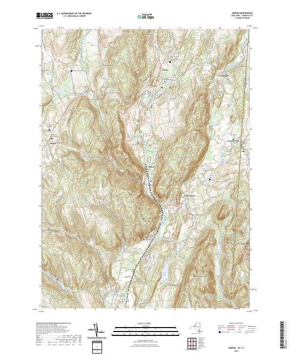
Current Amenia GeoPDF Map
1958 Map No. 136605, 1958 Map No. 136606, 1958 Map No. 136607, 1958 Map No. 136608, 1958 Map No. 137065 Wassaic Multiple Use Area, Wassaic Creek Fishing Access Amenia (91%), Dover (2%), Stanford (3%), Washington (18%)
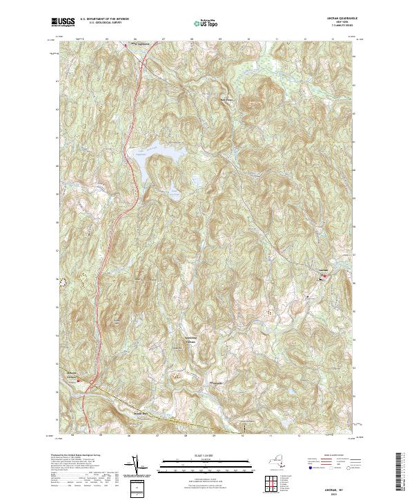
Current Ancram GeoPDF Map
1948 Map No. 136625, 1948 Map No. 710141, 1960 Map No. 136626, 1960 Map No. 136627, 1960 Map No. 137076, 1960 Map No. 710139 Roeliff Jansenkill Multiple Use Area, New Forge State Forest, Doodletown Wildlife Management Area Ancram (16%), Gallatin (80%), Milan (3%), Pine Plains (3%), Taghkanic (36%)
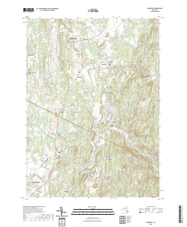
Current Clermont GeoPDF Map
1963 Map No. 137177, 1963 Map No. 137654, 1963 Map No. 137655, 1963 Map No. 137656 NA Clermont (63%), Gallatin (19%), Germantown (21%), Livingston (31%), Milan (21%), Red Hook (30%), Taghkanic (2%)
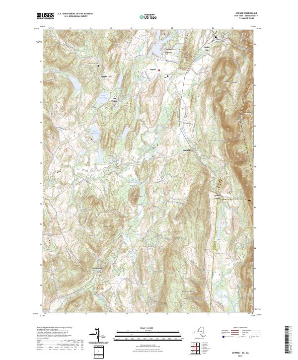
Current Copake GeoPDF Map
1953 Map No. 137709, 1953 Map No. 137710, 1953 Map No. 137711, 1953 Map No. 137712 Doodletown Wildlife Management Area Ancram (71%), Copake (46%), North East (14%), Taghkanic (3%)
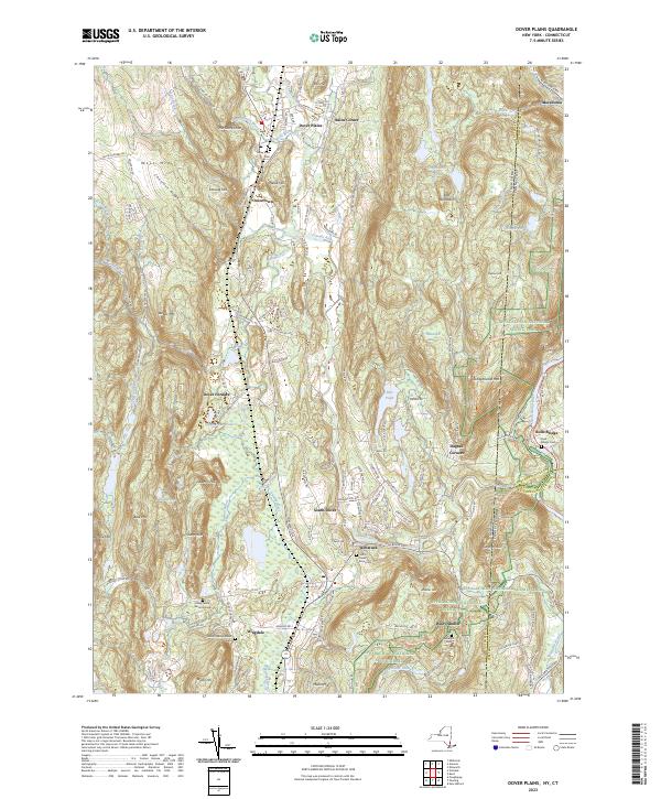
Current Dover Plains GeoPDF Map
1944 Map No. 137886, 1958 Map No. 137890, 1958 Map No. 137891, 1958 Map No. 137892, 1958 Map No. 137893, 1998 Map No. 137336 Swamp River Fishing Access, Swamp River Waterway Access, West Mountain State Forest Amenia (0%), Dover (85%), Washington (1%)
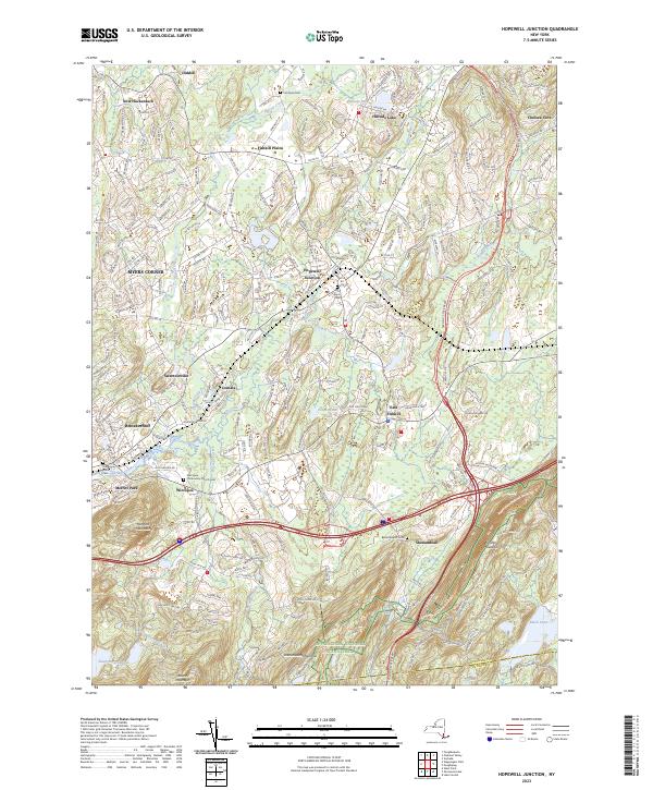
Current Hopewell Junction GeoPDF Map
1957 Map No. 129768, 1957 Map No. 129769, 1957 Map No. 129770, 1981 Map No. 129767 NA Beekman (1%), East Fishkill (74%), Fishkill (14%), Kent (2%), Wappinger (27%)
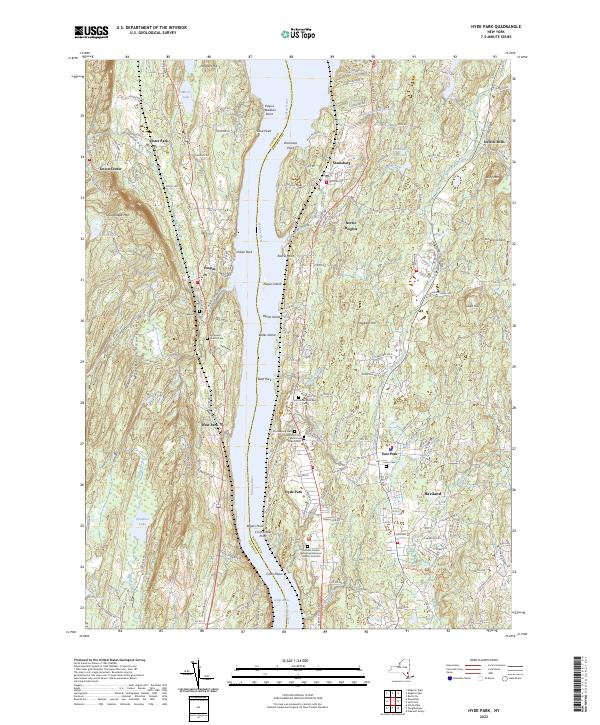
Current Hyde Park GeoPDF Map
1963 Map No. 130048, 1963 Map No. 130049, 1980 Map No. 130050, 1980 Map No. 130051 Black Creek Waterway Access, Chodikee Lake Wetlands, Crum Elbow Creek Waterway Access, Black Creek State Forest, Crum Elbow Creek Fishing Access Clinton (2%), Esopus (44%), Hyde Park (79%), Lloyd (14%), Rhinebeck (0%)
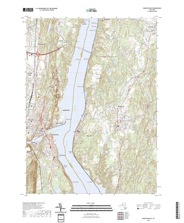
Current Kingston East GeoPDF Map
1963 Map No. 130035, 1963 Map No. 130036, 1963 Map No. 130037, 1963 Map No. 137296, 1963 Map No. 137298 NA Clinton (0%), Esopus (16%), Hyde Park (1%), Kingston city (52%), Red Hook (15%), Rhinebeck (71%), Ulster (35%)
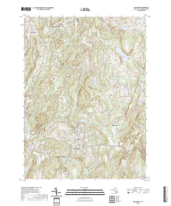
Current Millbrook GeoPDF Map
1947 Map No. 130580, 1960 Map No. 130583, 1960 Map No. 130584, 1960 Map No. 137450, 1960 Map No. 137451 Wappinger Creek Fishing Access Pleasant Valley (0%), Stanford (28%), Washington (70%)
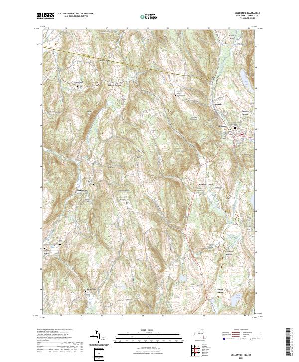
Current Millerton GeoPDF Map
1955 Map No. 130590, 1955 Map No. 130591, 1955 Map No. 137452, 1955 Map No. 137453 NA Amenia (9%), Ancram (12%), North East (86%), Pine Plains (31%), Stanford (3%)
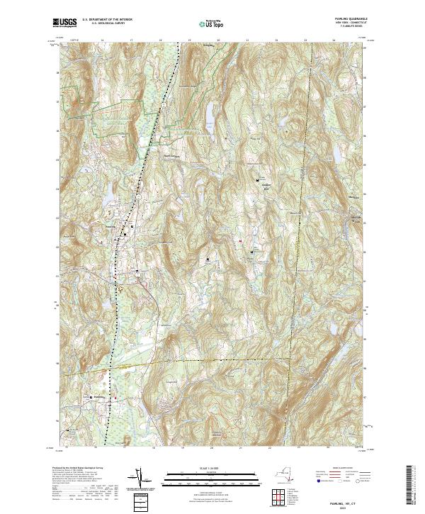
Current Pawling GeoPDF Map
1945 Map No. 135979, 1958 Map No. 135980, 1958 Map No. 135981, 1958 Map No. 135982, 1958 Map No. 136773, 1998 Map No. 136774 West Mountain State Forest, Great Swamp WMA, Cranberry Mountain WMA Dover (7%), Patterson (26%), Pawling (70%)
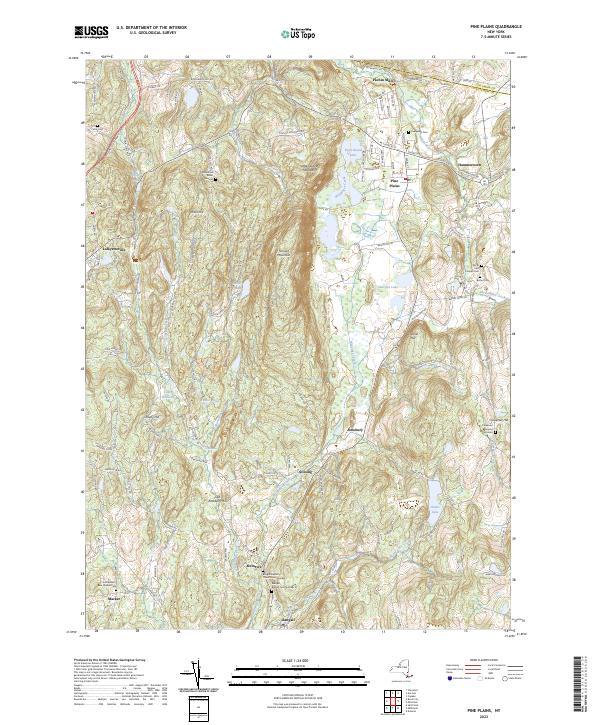
Current Pine Plains GeoPDF Map
1948 Map No. 129004, 1960 Map No. 129005, 1960 Map No. 129006, 1960 Map No. 136805, 1960 Map No. 136806 Shekomeko Creek Parking Fishing Access, Lafayetteville Multiple Use Area, Stissing Mountain Multiple Use Area Ancram (1%), Gallatin (1%), Milan (20%), North East (0%), Pine Plains (66%), Stanford (54%)
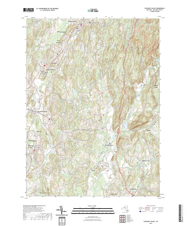
Current Pleasant Valley GeoPDF Map
1957 Map No. 129049, 1957 Map No. 129050, 1957 Map No. 129051 Taconic Hereford Multiple Use Area Beekman (2%), East Fishkill (1%), Hyde Park (3%), LaGrange (94%), Pleasant Valley (26%), Poughkeepsie (13%), Wappinger (11%)
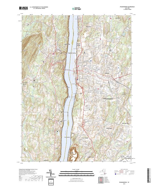
Current Poughkeepsie GeoPDF Map
1957 Map No. 129158, 1957 Map No. 129159, 1957 Map No. 136830, 1995 Map No. 136831 NA Hyde Park (8%), LaGrange (0%), Lloyd (43%), Marlborough (39%), Poughkeepsie city (100%), Poughkeepsie (70%), Wappinger (2%)
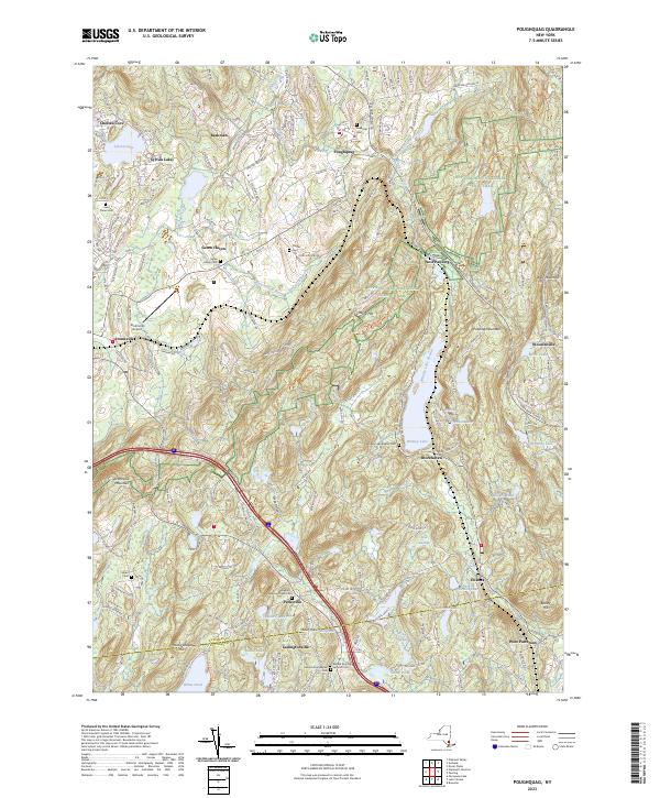
Current Poughquag GeoPDF Map
1948 Map No. 129160, 1948 Map No. 129161, 1960 Map No. 129162, 1960 Map No. 129163, 1960 Map No. 129164, 1960 Map No. 136833 White Pond Multiple Use Area, Depot Hill Multiple Use Area, West Mountain State Forest, Big Buck Mountain Multiple Use Area, Sylvan Lake Waterway Access Beekman (72%), Dover (0%), East Fishkill (24%), Kent (10%), Patterson (5%), Pawling (30%)
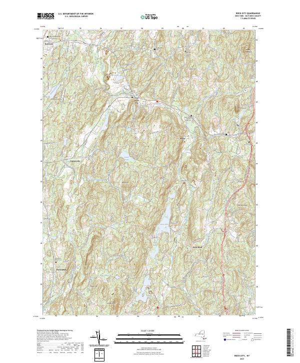
Current Rock City GeoPDF Map
1963 Map No. 136098, 1963 Map No. 136099, 1963 Map No. 136866 NA Clinton (35%), Hyde Park (0%), Milan (55%), Red Hook (15%), Rhinebeck (29%), Stanford (8%)
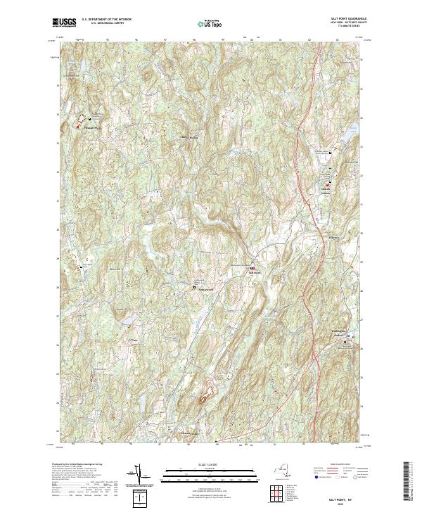
Current Salt Point GeoPDF Map
1963 Map No. 129336, 1963 Map No. 129337, 1963 Map No. 136881 Taconic Hereford Multiple Use Area Clinton (63%), Hyde Park (10%), Pleasant Valley (73%), Stanford (4%), Washington (2%)
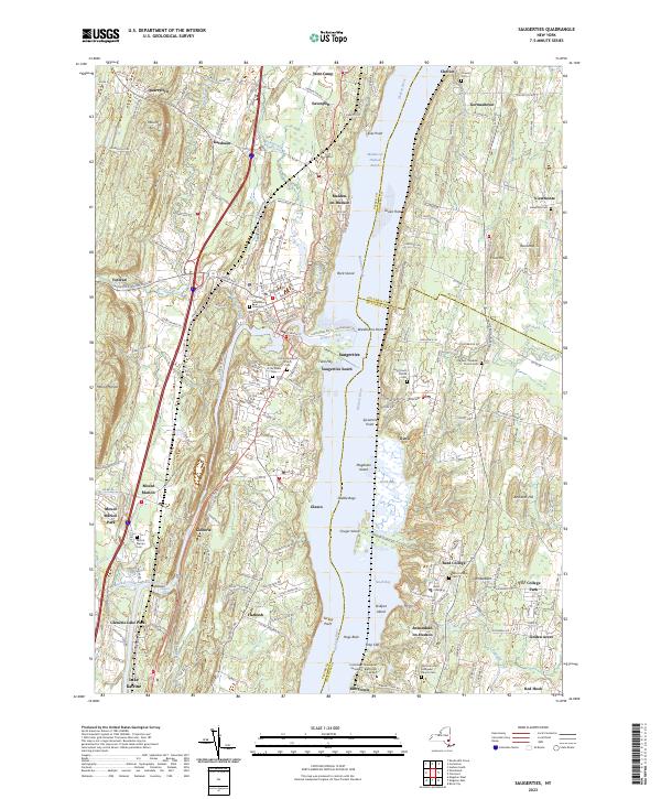
Current Saugerties GeoPDF Map
1963 Map No. 129404, 1963 Map No. 136889, 1963 Map No. 136890, 1963 Map No. 136891, 1963 Map No. 136892, 1997 Map No. 136893 Turkey Point State Forest, Tivoli Bays WMA Clermont (33%), Germantown (15%), Red Hook (39%), Saugerties (41%), Ulster (12%)
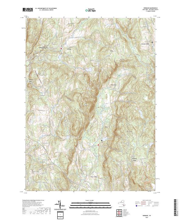
Current Verbank GeoPDF Map
1946 Map No. 139478, 1960 Map No. 136984, 1960 Map No. 139482, 1960 Map No. 139483 West Mountain State Forest, Taconic Hereford Multiple Use Area Beekman (25%), Dover (5%), LaGrange (6%), Pleasant Valley (1%), Union Vale (100%), Washington (9%)
Current Wappingers Falls GeoPDF Map
1956 Map No. 140039, 1956 Map No. 140040, 1956 Map No. 140041 Stonykill Environmental Education Center, Baxtertown Woods WMA Beacon city (64%), Fishkill (56%), Marlborough (24%), Newburgh city (3%), Newburgh (12%), Poughkeepsie (17%), Wappinger (60%)
Current West Point GeoPDF Map
1941 Map No. 140199, 1947 Map No. 140198, 1957 Map No. 137014, 1957 Map No. 140200, 1957 Map No. 140201, 1957 Map No. 140202 NA Beacon city (36%), Cornwall (8%), Fishkill (29%), Highlands (21%), New Windsor (0%), Newburgh city (4%), Philipstown (63%), Putnam Valley (7%)

Erie County

PDF (50-60 MB Download) Historical USGS Topo Maps State Lands (Links to DEC Website) Towns (Percent of Town’s Area)
Current Akron GeoPDF Map
1949 Map No. 136539, 1951 Map No. 136540, 1951 Map No. 710097 Onondaga Escarpment Unique Area, John White WMA, Tonawanda WMA Alabama (46%), Newstead (17%), Pembroke (24%), Royalton (6%), Tonawanda Reservation (100%), Tonawanda Reservation (100%), Tonawanda Reservation (100%)
Current Angola GeoPDF Map
1960 Map No. 136649, 1960 Map No. 136650 NA Evans (39%)
Current Arcade GeoPDF Map
1966 Map No. 136682, 1966 Map No. 136683 NA Arcade (57%), Freedom (12%), Holland (7%), Java (12%), Sardinia (19%), Yorkshire (14%)
Current Ashford Hollow GeoPDF Map
1964 Map No. 136700, 1964 Map No. 136701, 1964 Map No. 136702, 1964 Map No. 710169 NA Ashford (64%), Concord (9%), East Otto (36%), Ellicottville (2%)
Current Buffalo NE GeoPDF Map
1948 Map No. 123033, 1950 Map No. 123034, 1965 Map No. 123035 NA Amherst (23%), Buffalo city (52%), Cheektowaga (43%), Tonawanda (37%)
Current Buffalo NW GeoPDF Map
1950 Map No. 123036, 1950 Map No. 123038, 1965 Map No. 123039, 1965 Map No. 123040 Motor Island WMA Buffalo city (22%), Grand Island (25%), Tonawanda city (3%), Tonawanda (47%)
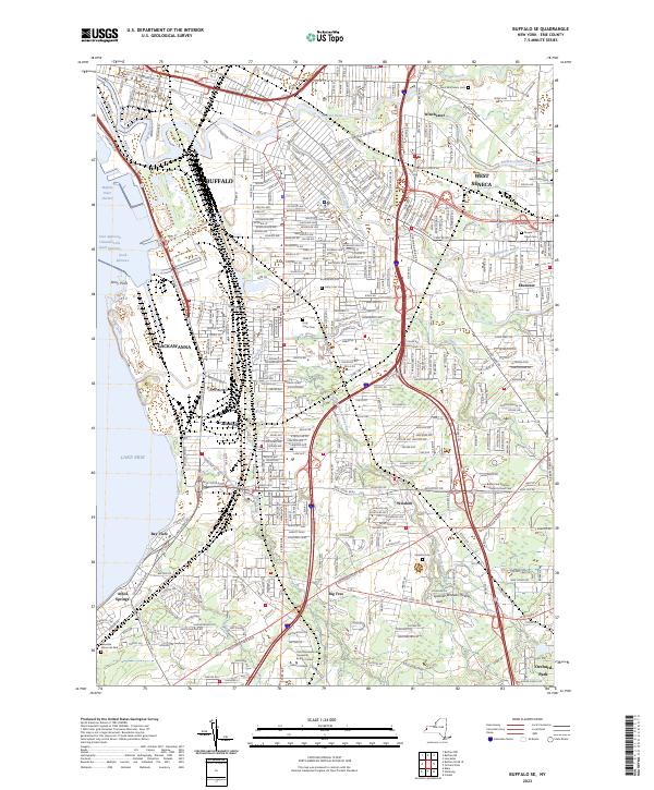
Current Buffalo SE GeoPDF Map
1948 Map No. 123041, 1950 Map No. 123042, 1965 Map No. 123043 NA Buffalo city (26%), Cheektowaga (2%), Hamburg (34%), Lackawanna city (100%), Orchard Park (22%), West Seneca (53%)
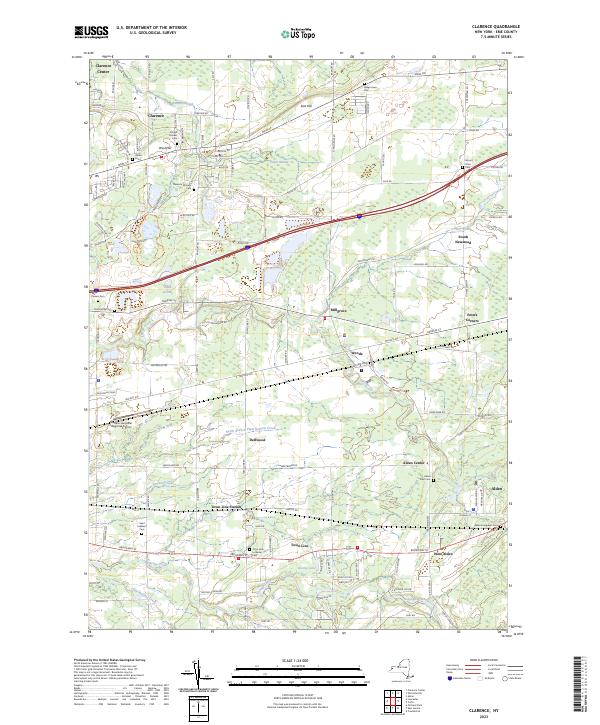
Current Clarence GeoPDF Map
1950 Map No. 137629, 1965 Map No. 137630 Tillman Road WMA Alden (63%), Clarence (14%), Lancaster (35%), Newstead (24%)
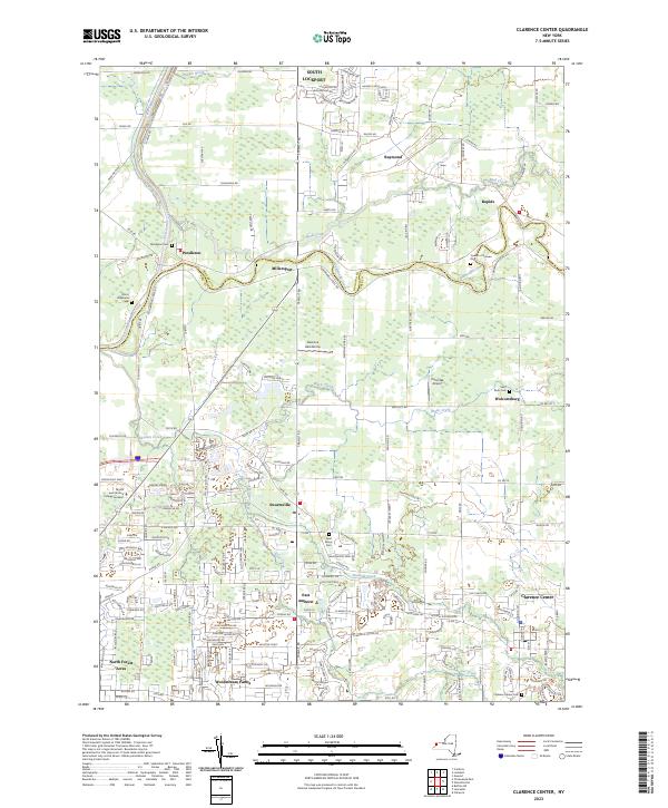
Current Clarence Center GeoPDF Map
1950 Map No. 137625, 1950 Map No. 137626, 1965 Map No. 137627 Great Baehre Swamp WMA Amherst (28%), Clarence (41%), Lockport (21%), Pendleton (29%)
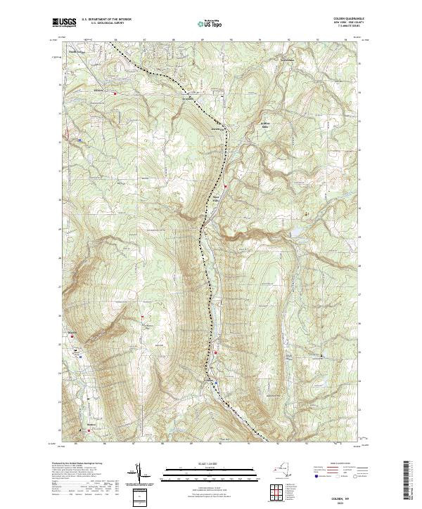
Current Colden GeoPDF Map
1955 Map No. 137679, 1955 Map No. 137680, 1955 Map No. 137681, 1955 Map No. 137806 NA Aurora (38%), Boston (37%), Colden (49%), Orchard Park (26%)
Current Collins Center GeoPDF Map
1963 Map No. 137682, 1963 Map No. 137683, 1963 Map No. 137684 Cattaraugus Creek Waterway Access, Zoar Valley Multiple Use Area, Zoar Valley Unique Area, East Otto State Forest Collins (35%), Concord (5%), East Otto (37%), Otto (61%)
Current Corfu GeoPDF Map
1950 Map No. 137814, 1950 Map No. 137815 NA Alden (29%), Darien (53%), Newstead (11%), Pembroke (33%)
Current Cowlesville GeoPDF Map
1949 Map No. 137726, 1951 Map No. 137727 NA Alden (3%), Bennington (62%), Darien (5%), Marilla (14%), Sheldon (20%), Wales (11%)
Current East Aurora GeoPDF Map
1950 Map No. 137994, 1965 Map No. 137996, 1965 Map No. 137997 NA Alden (5%), Aurora (15%), Elma (40%), Lancaster (5%), Marilla (86%), Wales (24%)
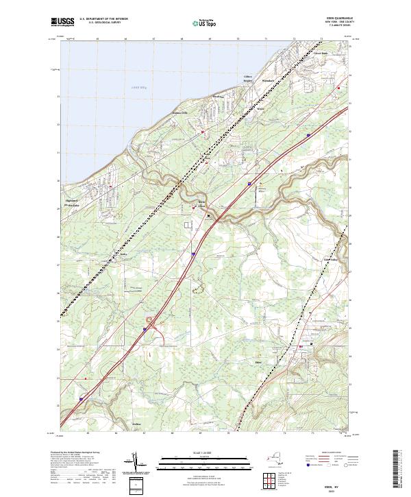
Current Eden GeoPDF Map
1949 Map No. 138035, 1965 Map No. 138036 Eighteen Mile Creek Access Eden (43%), Evans (40%), Hamburg (31%)
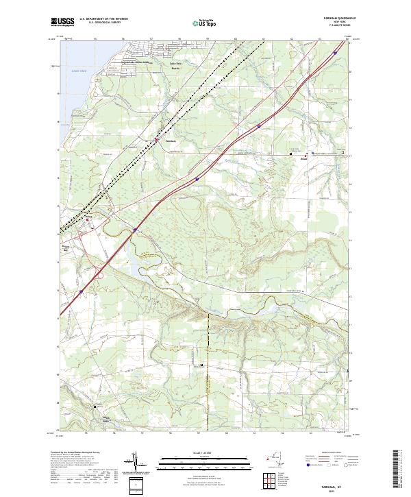
Current Farnham GeoPDF Map
1960 Map No. 138142, 1960 Map No. 138143 NA Brant (61%), Cattaraugus Reservation (54%), Cattaraugus Reservation (49%), Cattaraugus Reservation (100%), Evans (13%), Hanover (20%), Perrysburg (17%)
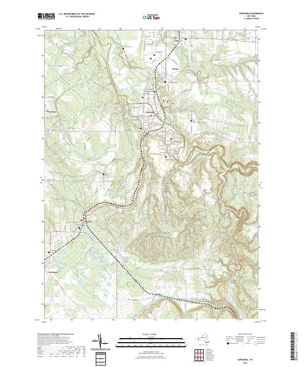
Current Gowanda GeoPDF Map
1963 Map No. 129589, 1963 Map No. 129590 Zoar Valley Multiple Use Area, Zoar Valley Unique Area Cattaraugus Reservation (39%), Cattaraugus Reservation (8%), Collins (25%), Dayton (33%), Otto (11%), Perrysburg (30%), Persia (69%)
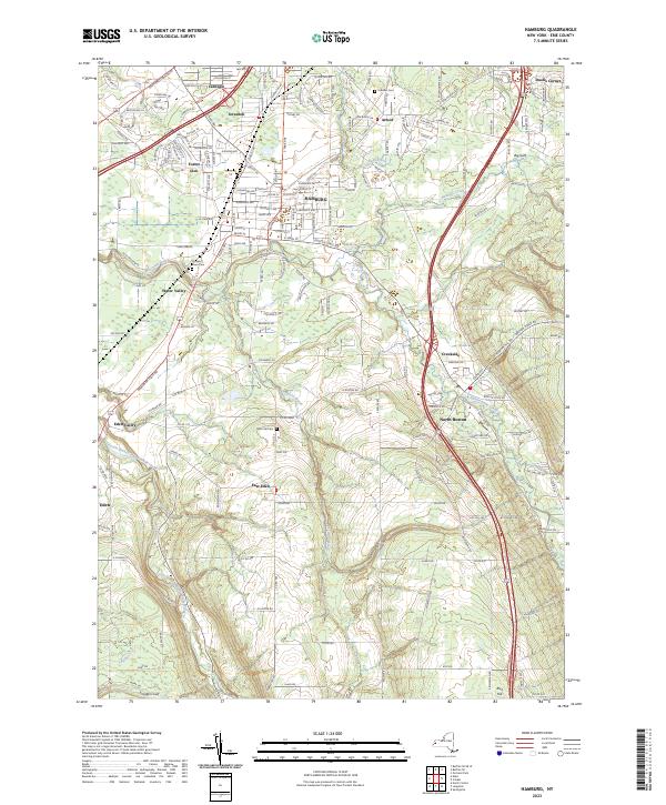
Current Hamburg GeoPDF Map
1948 Map No. 129666, 1965 Map No. 129667, 1965 Map No. 129668, 1965 Map No. 129669 Hampton Brook Woods WMA Boston (45%), Eden (38%), Hamburg (36%), Orchard Park (23%)
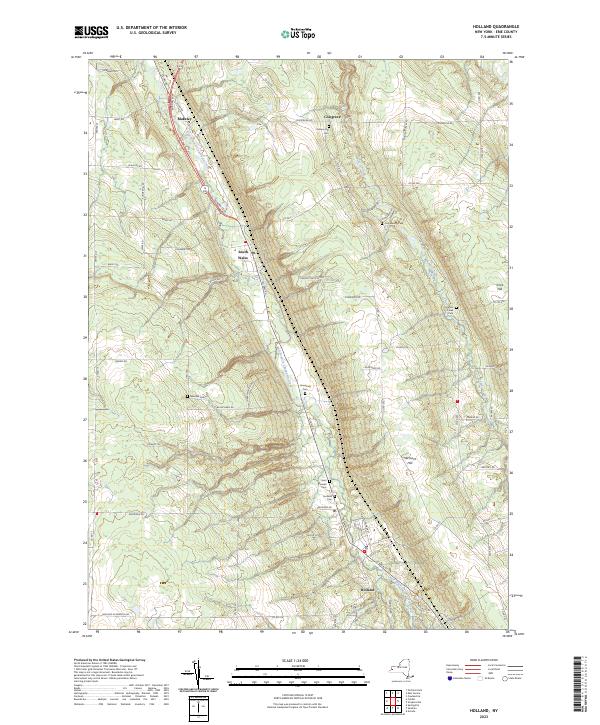
Current Holland GeoPDF Map
1955 Map No. 129880, 1955 Map No. 129881, 1979 Map No. 129879 NA Aurora (25%), Colden (30%), Holland (53%), Wales (44%)
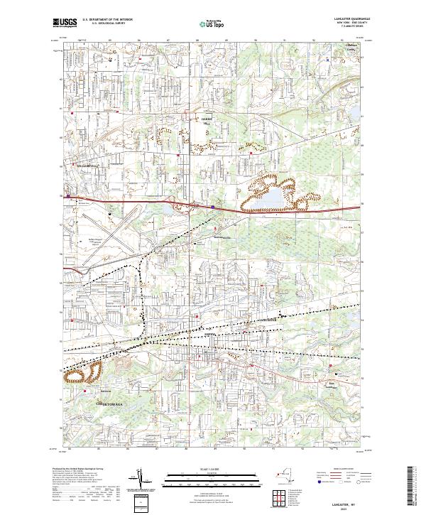
Current Lancaster GeoPDF Map
1950 Map No. 130212, 1965 Map No. 130213 Reinstein Woods Nature Preserve And Environmental Education Center Amherst (17%), Cheektowaga (47%), Clarence (21%), Lancaster (54%)
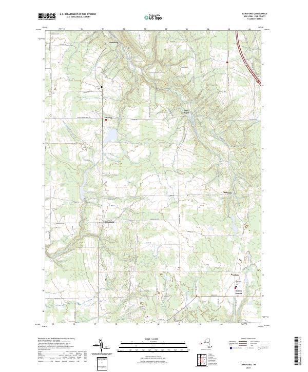
Current Langford GeoPDF Map
1960 Map No. 130218, 1960 Map No. 130219 Clear Lake WMA Boston (10%), Collins (23%), Concord (18%), Eden (9%), North Collins (57%)
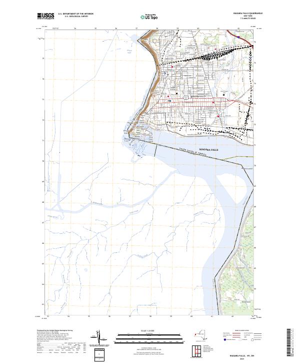
Current Niagara Falls GeoPDF Map
1949 Map No. 128711, 1965 Map No. 128712 NA Grand Island (9%), Niagara Falls city (67%), Niagara (10%)
Current North Collins GeoPDF Map
1960 Map No. 128742, 1960 Map No. 128743 NA Brant (39%), Cattaraugus Reservation (7%), Cattaraugus Reservation (41%), Collins (17%), Eden (10%), Evans (8%), North Collins (43%), Perrysburg (4%)
Current Orchard Park GeoPDF Map
1950 Map No. 128935, 1965 Map No. 128936, 1965 Map No. 128937, 1965 Map No. 137486, 1965 Map No. 137487 Cazenovia Creek Fwma Aurora (22%), Cheektowaga (7%), Elma (60%), Lancaster (7%), Orchard Park (29%), West Seneca (47%)
Current Sardinia GeoPDF Map
1957 Map No. 129402, 1957 Map No. 129403, 1957 Map No. 136888 Cattaraugus Creek Fishing Access Parking Ashford (2%), Colden (8%), Holland (15%), Sardinia (80%), Yorkshire (14%)
Current Silver Creek GeoPDF Map
1943 Map No. 136171, 1960 Map No. 136168, 1960 Map No. 136172 NA Brant (0%), Cattaraugus Reservation (3%), Hanover (22%), Sheridan (27%)
Current Springville GeoPDF Map
1954 Map No. 139842, 1954 Map No. 139843 NA Ashford (0%), Boston (8%), Colden (12%), Concord (68%), Sardinia (1%)
Current Strykersville GeoPDF Map
1957 Map No. 139925, 1957 Map No. 139926 NA Holland (25%), Java (45%), Sheldon (37%), Wales (20%)
Current Tonawanda East GeoPDF Map
1950 Map No. 139339, 1950 Map No. 139340, 1965 Map No. 139341, 1980 Map No. 139342 NA Amherst (31%), North Tonawanda city (64%), Pendleton (57%), Tonawanda city (41%), Tonawanda (13%), Wheatfield (39%)
Current Tonawanda West GeoPDF Map
1948 Map No. 139343, 1948 Map No. 139344, 1950 Map No. 139345, 1965 Map No. 139347 Spicer Creek WMA Grand Island (66%), Niagara Falls city (30%), Niagara (65%), North Tonawanda city (36%), Tonawanda city (57%), Tonawanda (3%), Wheatfield (51%)
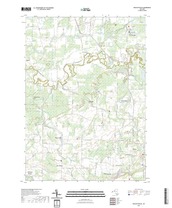
Current Wolcottsville GeoPDF Map
1950 Map No. 140363, 1965 Map No. 140364 Tonawanda WMA, Tonawanda Creek Fishing Access Clarence (25%), Lockport (2%), Newstead (47%), Royalton (23%)

Essex County

PDF (50-60 MB Download) Historical USGS Topo Maps State Lands (Links to DEC Website) Towns (Percent of Town’s Area)
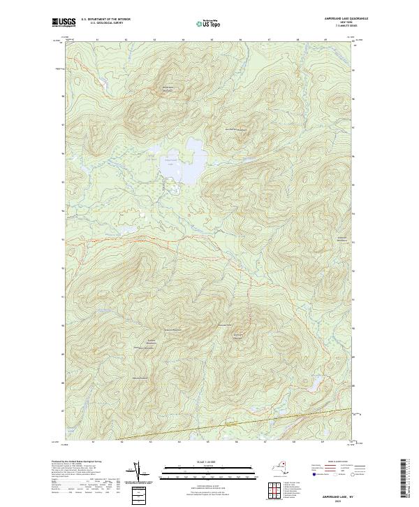
Current Ampersand Lake GeoPDF Map
NA Saranac Lakes Wild Forest, High Peaks Wilderness Harrietstown (24%), Newcomb (1%)
Current Au Sable Forks GeoPDF Map
NA Taylor Pond Wild Forest, Wilmington Wild Forest Au Sable (2%), Black Brook (17%), Chesterfield (1%), Jay (43%), Wilmington (0%)
Current Bad Luck Mountain GeoPDF Map
NA Unclassified, Hudson Gorge Wilderness, Blue Mountain Wild Forest, Jessup River Wild Forest, Vanderwhacker Mountain Wild Forest, Siamese Ponds Wilderness, Essex Chain Lakes Primitive Area, Pine Lake Primitive Area Indian Lake (12%), Minerva (10%), Newcomb (3%)
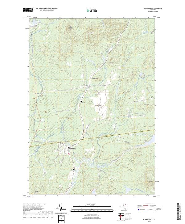
Current Bloomingdale GeoPDF Map
NA Mckenzie Mountain Wilderness, Taylor Pond Wild Forest, Debar Mountain Wild Forest, Saranac Lakes Wild Forest, Buck Pond Campground Franklin (21%), St. Armand (30%)
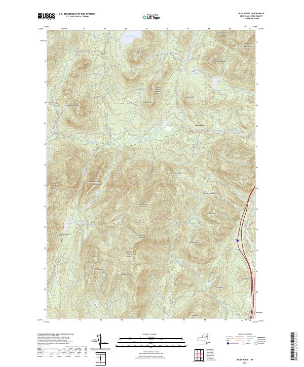
Current Blue Ridge GeoPDF Map
NA Hammond Pond Wild Forest, Vanderwhacker Mountain Wild Forest, Hoffman Notch Primitive Area, Hoffman Notch Wilderness, High Peaks Wilderness North Hudson (19%), Schroon (13%)
Current Charlotte GeoPDF Map
NA Split Rock Wild Forest Essex (35%), Westport (1%), Willsboro (11%)
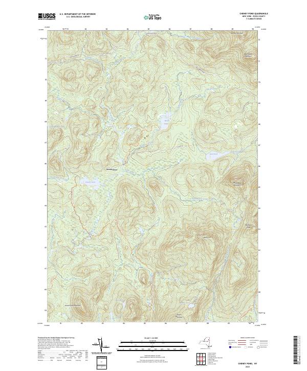
Current Cheney Pond GeoPDF Map
NA Vanderwhacker Mountain Wild Forest, Hoffman Notch Wilderness, High Peaks Wilderness Minerva (11%), Newcomb (2%), North Hudson (15%), Schroon (3%)
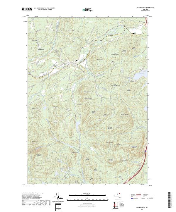
Current Clintonville GeoPDF Map
NA Taylor Pond Wild Forest, Poke-O-Moonshine Day Use Area Au Sable (26%), Chesterfield (35%), Jay (4%), Lewis (3%)
Current Colchester Point GeoPDF Map
NA Schuyler Island Primitive Area Au Sable (4%), Chesterfield (8%), Peru (0%)
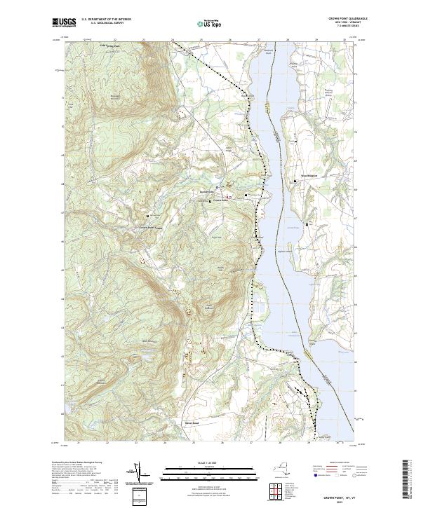
Current Crown Point GeoPDF Map
1950 Map No. 137752, 1950 Map No. 137753, 1950 Map No. 137754, 1950 Map No. 137755 Putnam Creek Access, Putnam Creek Fishing Access, Sheepshead Island, Signal Buoy Island, Hammond Pond Wild Forest, Putts Creek WMA Crown Point (32%), Ticonderoga (18%)
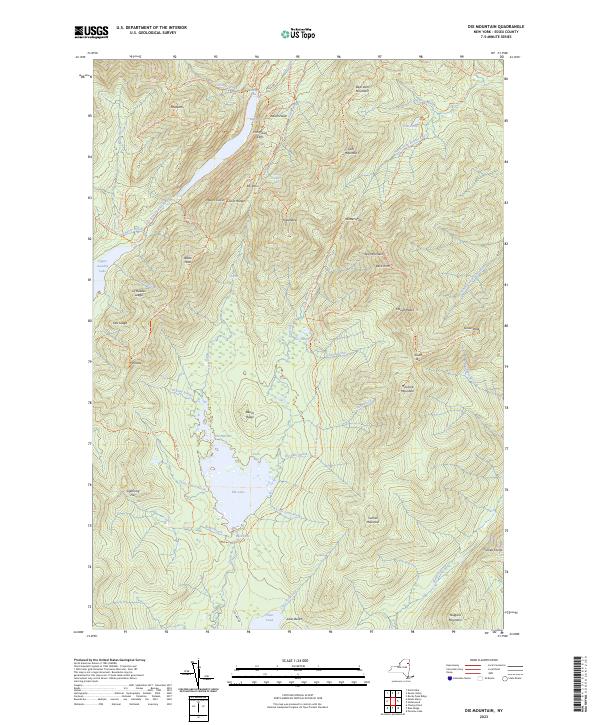
Current Dix Mountain GeoPDF Map
NA High Peaks Wilderness Keene (12%), North Hudson (19%)
Current Dun Brook Mountain GeoPDF Map
NA Blue Mountain Wild Forest, High Peaks Wilderness, Essex Chain Lakes Primitive Area Indian Lake (5%), Long Lake (5%), Minerva (11%), Newcomb (1%)
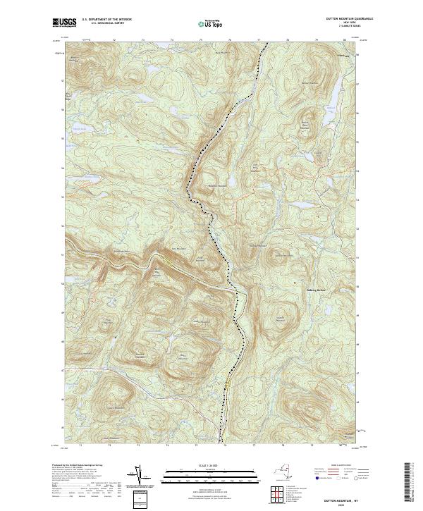
Current Dutton Mountain GeoPDF Map
NA Hudson Gorge Primitive Area, Hudson Gorge Wilderness, Ok Slip Pond Primitive Area, Vanderwhacker Mountain Wild Forest, Vanderwhacker Mountain Wild Forest, Siamese Ponds Wilderness Chester (0%), Indian Lake (5%), Minerva (25%)
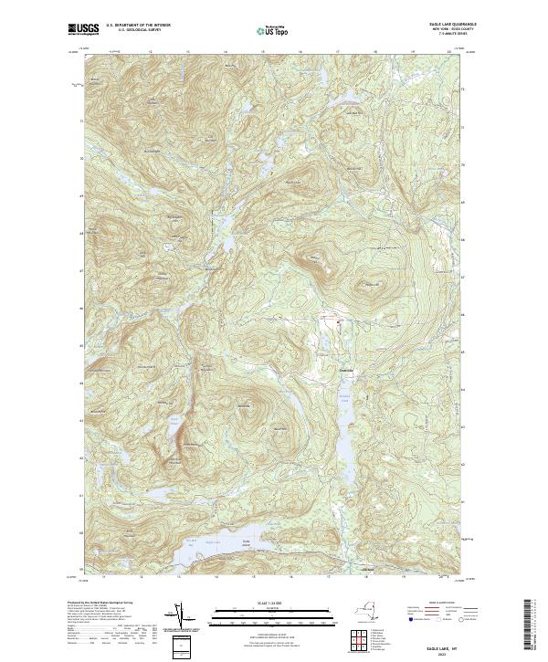
Current Eagle Lake GeoPDF Map
1973 Map No. 137988 Pharaoh Lake Wilderness, Hammond Pond Wild Forest Crown Point (54%), Moriah (2%), North Hudson (0%), Ticonderoga (9%)
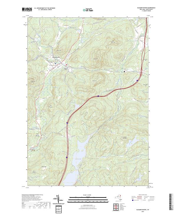
Current Elizabethtown GeoPDF Map
NA Giant Mountain Wilderness, Taylor Pond Wild Forest, Hammond Pond Wild Forest, Pauline Murdock WMA, Lincoln Pond Campground Elizabethtown (45%), Lewis (6%), Westport (16%)
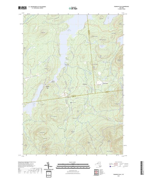
Current Franklin Falls GeoPDF Map
NA Mckenzie Mountain Wilderness, Taylor Pond Wild Forest, Wilmington Wild Forest, Whiteface Mountain Ski Center Black Brook (7%), Franklin (12%), St. Armand (25%), Wilmington (12%)
Current Gabriels GeoPDF Map
NA Debar Mountain Wild Forest, Saranac Lakes Wild Forest Brighton (37%), Franklin (4%), Harrietstown (6%), St. Armand (3%)
Current Gore Mountain GeoPDF Map
NA Vanderwhacker Mountain Wild Forest, Chatiemac Lake Primitive Area, Siamese Ponds Wilderness, North Creek Parking Fishing Access, Gore Mountain Ski Center Chester (3%), Indian Lake (1%), Johnsburg (24%), Minerva (0%)
Current Graphite GeoPDF Map
1973 Map No. 129606, 1973 Map No. 129607 Bald Ledge Primitive Area, Gooseneck Pond Primitive Area, Pharaoh Lake Wilderness, Hammond Pond Wild Forest, Lake George Wild Forest, Putnam Pond Campground Hague (23%), Schroon (1%), Ticonderoga (39%)
Current Jay Mountain GeoPDF Map
NA Hurricane Mountain Primitive Area, Hurricane Mountain Wilderness, Taylor Pond Wild Forest, Wilmington Wild Forest, Jay Mountain Wilderness Chesterfield (3%), Elizabethtown (1%), Jay (39%), Keene (5%), Lewis (19%)
Current Juniper Island GeoPDF Map
NA Schuyler Island Primitive Area Chesterfield (8%), Willsboro (30%)
Current Keene GeoPDF Map
NA Hurricane Mountain Primitive Area, Hurricane Mountain Wilderness, Bartlett Primitive Area, Sentinel Range Wilderness, Mckenzie Mountain Wilderness, Hammond Pond Wild Forest, Wilmington Wild Forest, High Peaks Wilderness, Wilmington Notch Campground, Whiteface Mountain Ski Center Jay (12%), Keene (15%), Wilmington (33%)
Current Keene Valley GeoPDF Map
NA Giant Mountain Wilderness, Sentinel Range Wilderness, Hammond Pond Wild Forest, High Peaks Wilderness, Johns Brook Primitive Area Keene (34%), North Elba (0%)
Current Keeseville GeoPDF Map
1966 Map No. 130007, 1966 Map No. 130008 Unclassified, Valcour Island Primitive Area, Garden Island, Schuyler Island Primitive Area, Taylor Pond Wild Forest, Peru Dock Boat Launch, Ausable Marsh WMA, Wickham Marsh WMA, Ausable Point Campground Au Sable (24%), Chesterfield (12%), Peru (31%), Plattsburgh (0%)
Current Kempshall Mountain GeoPDF Map
NA Sargent Ponds Wild Forest, High Peaks Wilderness Harrietstown (1%), Long Lake (9%), Newcomb (4%)
Current Lake Placid GeoPDF Map
NA Sentinel Range Wilderness, Mckenzie Mountain Wilderness, Saranac Lakes Wild Forest, Wilmington Wild Forest, John Browns Farm Historic Site, Mirror Lake Boat Launch, Whiteface Mountain Ski Center Keene (1%), North Elba (22%), St. Armand (11%), Wilmington (16%)
Current Lewis GeoPDF Map
NA Taylor Pond Wild Forest, Jay Mountain Wilderness Chesterfield (2%), Lewis (60%)
Current Mckenzie Mountain GeoPDF Map
NA Unclassified, Mckenzie Mountain Wilderness, Saranac Lakes Wild Forest, High Peaks Wilderness, Meadowbrook Campground Harrietstown (1%), North Elba (22%), St. Armand (30%)
Current Minerva GeoPDF Map
NA Vanderwhacker Mountain Wild Forest, Hoffman Notch Wilderness Chester (3%), Minerva (25%), Schroon (7%)
Current Mount Adams GeoPDF Map
NA Vanderwhacker Mountain Wild Forest, High Peaks Wilderness, Macintyre Primitive Area, Tahawas Primitive Area Newcomb (23%)
Current Mount Marcy GeoPDF Map
NA Vanderwhacker Mountain Wild Forest, Boreas Ponds Primitive Area, High Peaks Wilderness Keene (11%), Newcomb (7%), North Hudson (11%)
Current Newcomb GeoPDF Map
NA Hudson Gorge Wilderness, Blue Mountain Wild Forest, Vanderwhacker Mountain Wild Forest, Camp Santanoni Historic Area, High Peaks Wilderness, Essex Chain Lakes Primitive Area, Lake Harris Campground Minerva (1%), Newcomb (22%)
Current North Elba GeoPDF Map
NA Mount Van Hoevenberg Winter Recreation Area, Sentinel Range Wilderness, Saranac Lakes Wild Forest, High Peaks Wilderness Keene (5%), Newcomb (1%), North Elba (29%)
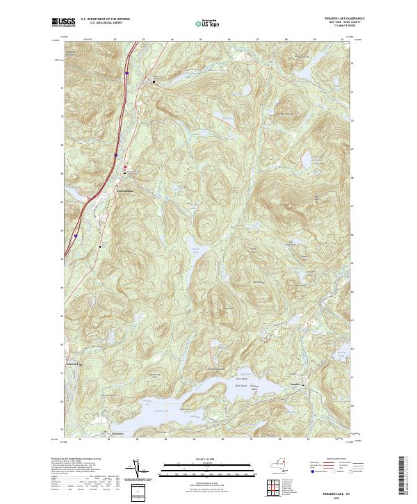
Current Paradox Lake GeoPDF Map
1973 Map No. 135965, 1973 Map No. 136771 Pharaoh Lake Wilderness, Hammond Pond Wild Forest, Vanderwhacker Mountain Wild Forest, Hoffman Notch Wilderness, High Peaks Wilderness, Paradox Lake Campground Crown Point (7%), North Hudson (14%), Schroon (16%), Ticonderoga (0%)
Current Pharaoh Mountain GeoPDF Map
1973 Map No. 128968 Pharaoh Lake Wilderness, Hammond Pond Wild Forest, Lake George Wild Forest Hague (2%), Horicon (16%), Schroon (29%), Ticonderoga (1%)
Current Port Douglass GeoPDF Map
NA Unclassified, Schuyler Island Primitive Area, Taylor Pond Wild Forest, Port Douglass Boat Launch, Willsboro Bay Boat Launch Au Sable (1%), Chesterfield (32%), Lewis (0%), Willsboro (26%)
Current Port Henry GeoPDF Map
NA Crown Point Historic Area, Port Henry Boat Launch, Crown Point Campground Crown Point (7%), Moriah (34%), Westport (7%)
Current Rock Lake GeoPDF Map
NA Unclassified, Blue Ridge Wilderness, Blue Mountain Wild Forest, Jessup River Wild Forest, Essex Chain Lakes Primitive Area, Pine Lake Primitive Area Indian Lake (20%), Minerva (1%)
Current Rocky Peak Ridge GeoPDF Map
NA Giant Mountain Wilderness, Hurricane Mountain Fire Tower Historic Area, Hurricane Mountain Primitive Area, Hurricane Mountain Wilderness, Hammond Pond Wild Forest, High Peaks Wilderness Elizabethtown (38%), Keene (13%), Lewis (3%)
Current Santanoni Peak GeoPDF Map
NA Vanderwhacker Mountain Wild Forest, Camp Santanoni Historic Area, High Peaks Wilderness Harrietstown (0%), Newcomb (23%)
Current Saranac Lake GeoPDF Map
NA Saranac Lakes Wild Forest, Saranac Lakes Wild Forest, High Peaks Wilderness, Lake Flower Boat Launch, Lower Saranac Lake Boat Launch, Saranac Lake Islands Campground Harrietstown (25%), North Elba (0%), St. Armand (2%)
Current Schroon Lake GeoPDF Map
NA Pharaoh Lake Wilderness, Hammond Pond Wild Forest, Vanderwhacker Mountain Wild Forest, Scaroon Manor Campground, Lake George Wild Forest, Hoffman Notch Wilderness, Eagle Point Campground Chester (6%), Horicon (4%), Minerva (1%), Schroon (31%)
Current Street Mountain GeoPDF Map
NA Saranac Lakes Wild Forest, High Peaks Wilderness Harrietstown (4%), Newcomb (2%), North Elba (26%)
Current Ticonderoga GeoPDF Map
1950 Map No. 136965, 1950 Map No. 140023, 1950 Map No. 140024, 1950 Map No. 140025, 1950 Map No. 140026, 1950 Map No. 140027, 1950 Map No. 140028, 1950 Map No. 140029, 1950 Map No. 140030 Pharaoh Lake Wilderness, Lake George Wild Forest, Mossy Point State Boat Launch, Lake George Islands Campground, Rogers Rock Campground Hague (9%), Putnam (52%), Ticonderoga (33%)
Current Underwood GeoPDF Map
NA Boquet River Primtive Area, Giant Mountain Wilderness, Hammond Pond Wild Forest, High Peaks Wilderness, Sharp Bridge Campground Elizabethtown (8%), Keene (4%), Moriah (1%), North Hudson (21%)
Current Vanderwhacker Mountain GeoPDF Map
NA Vanderwhacker Mountain Wild Forest, High Peaks Wilderness, Lake Harris Campground Minerva (14%), Newcomb (13%), North Hudson (0%)
Current Vergennes West GeoPDF Map
NA Split Rock Wild Forest Westport (6%)
Current Westport GeoPDF Map
NA Cole Island, Hammond Pond Wild Forest, Split Rock Wild Forest, Westport Boat Launch Essex (3%), Lewis (1%), Westport (68%)
Current Willsboro GeoPDF Map
NA Wilsboro Dam Fish Dam, Boquet River Fishing Access, Taylor Pond Wild Forest, Split Rock Wild Forest Essex (62%), Lewis (7%), Westport (0%), Willsboro (33%)
Current Wilmington GeoPDF Map
NA Taylor Pond Wild Forest, Wilmington Wild Forest, Taylor Pond Campground, Whiteface Mountain Ski Center Black Brook (20%), Jay (2%), Wilmington (39%)
Current Witherbee GeoPDF Map
NA Hammond Pond Wild Forest Crown Point (0%), Elizabethtown (9%), Moriah (63%), North Hudson (0%), Westport (2%)

Franklin County

PDF (50-60 MB Download) Historical USGS Topo Maps State Lands (Links to DEC Website) Towns (Percent of Town’s Area)
Current Alder Brook GeoPDF Map
1968 Map No. 136574 Taylor Pond Wild Forest, Chazy Highlands Wild Forest Black Brook (12%), Franklin (16%), Saranac (8%)
Current Ampersand Lake GeoPDF Map
NA Saranac Lakes Wild Forest, High Peaks Wilderness Harrietstown (24%), Newcomb (1%)
Current Augerhole Falls GeoPDF Map
1970 Map No. 136744 Raquette-Jordan Boreal Primitive Area Hopkinton (13%), Tupper Lake (2%), Waverly (20%)
Current Bangor GeoPDF Map
1964 Map No. 123403, 1964 Map No. 123404 Deer River State Forest, Little Salmon River Access Bangor (82%), Brandon (33%), Dickinson (4%), Moira (5%)
Current Bay Pond GeoPDF Map
NA Debar Mountain Wild Forest, Madawaska Flow – Quebec Brook Primitive Area, Saint Regis Canoe Area Santa Clara (14%), Tupper Lake (3%), Waverly (17%)
Current Bloomingdale GeoPDF Map
NA Mckenzie Mountain Wilderness, Taylor Pond Wild Forest, Debar Mountain Wild Forest, Saranac Lakes Wild Forest, Buck Pond Campground Franklin (21%), St. Armand (30%)
Current Bombay GeoPDF Map
1964 Map No. 123356, 1964 Map No. 137121 Bombay State Forest Bombay (83%), Fort Covington (33%), Moira (5%), St. Regis Mohawk Reservation (39%)
Current Brainardsville GeoPDF Map
1964 Map No. 123115, 1964 Map No. 123116 Chazy Highlands Wild Forest Bellmont (29%), Burke (0%), Chateaugay (6%), Ellenburg (1%)
Current Brushton GeoPDF Map
1964 Map No. 123031, 1964 Map No. 123032 Deer River State Forest, Bombay State Forest Brasher (0%), Dickinson (26%), Lawrence (3%), Moira (89%)
Current Burke GeoPDF Map
1964 Map No. 123057, 1993 Map No. 137137 NA Burke (89%), Chateaugay (6%), Constable (15%), Malone (2%)
Current Chasm Falls GeoPDF Map
1964 Map No. 122921, 1964 Map No. 137168 Chazy Highlands Wild Forest Bellmont (19%), Burke (11%), Malone (16%)
Current Chateaugay GeoPDF Map
1964 Map No. 122927, 1964 Map No. 122928, 1964 Map No. 137169, 1993 Map No. 137170 Valley View State Forest, Chateaugay Fish Hatchery Burke (0%), Chateaugay (88%), Clinton (10%), Ellenburg (0%)
Current Constable GeoPDF Map
1964 Map No. 137702, 1964 Map No. 137703, 1993 Map No. 137187 Salmon River Waterway Access, Trout River State Forest Bangor (0%), Constable (85%), Malone (8%), Westville (38%)
Current Debar Mountain GeoPDF Map
1968 Map No. 137199, 1968 Map No. 137200, 1968 Map No. 137941 Debar Mountain Wild Forest, Chazy Highlands Wild Forest Brighton (20%), Duane (23%), Franklin (11%)
Current Derrick GeoPDF Map
NA Saranac Lakes Wild Forest, Saint Regis Canoe Area, Fish Creek Pond Campground, Rollins Pond Campground Harrietstown (0%), Santa Clara (10%), Tupper Lake (27%)
Current Ellenburg Center GeoPDF Map
1964 Map No. 138065 Chazy Highlands Wild Forest, Chazy Highlands State Forest, Upper Chateaugay Lake Boat Launch Bellmont (0%), Dannemora (8%), Ellenburg (44%)
Current Fort Covington GeoPDF Map
1993 Map No. 137210 NA Bangor (12%), Bombay (0%), Fort Covington (67%), Moira (0%), Westville (62%)
Current Franklin Falls GeoPDF Map
NA Mckenzie Mountain Wilderness, Taylor Pond Wild Forest, Wilmington Wild Forest, Whiteface Mountain Ski Center Black Brook (7%), Franklin (12%), St. Armand (25%), Wilmington (12%)
Current Gabriels GeoPDF Map
NA Debar Mountain Wild Forest, Saranac Lakes Wild Forest Brighton (37%), Franklin (4%), Harrietstown (6%), St. Armand (3%)
Current Grampus Lake GeoPDF Map
NA Sargent Ponds Wild Forest, High Peaks Wilderness Harrietstown (0%), Long Lake (10%), Tupper Lake (5%)
Current Hogansburg GeoPDF Map
1964 Map No. 129877, 1964 Map No. 129878, 1964 Map No. 137253 Bombay State Forest, Brasher State Forest Bombay (17%), Brasher (32%), Massena (7%), Moira (0%), St. Regis Mohawk Reservation (61%)
Current Kempshall Mountain GeoPDF Map
NA Sargent Ponds Wild Forest, High Peaks Wilderness Harrietstown (1%), Long Lake (9%), Newcomb (4%)
Current Lake Ozonia GeoPDF Map
1964 Map No. 130178, 1964 Map No. 130179 Debar Mountain Wild Forest, Lake Ozonia Fishing Access Site Hopkinton (9%), Waverly (29%)
Current Lake Titus GeoPDF Map
1964 Map No. 130203, 1964 Map No. 130204 Deer River State Forest, Franklin FP Detached Parcel, Lake Titus Boat Launch, Titusville Mountain State Forest, Debar Mountain Wild Forest, Deer River Primitive Area, Chazy Highlands Wild Forest Brandon (10%), Duane (30%), Malone (18%), Santa Clara (4%)
Current Little Tupper Lake GeoPDF Map
NA Sargent Ponds Wild Forest, Horseshoe Lake Wild Forest, Round Lake Wilderness, William C. Whitney Wilderness, Winding Falls Primitive Area Long Lake (9%), Piercefield (8%), Tupper Lake (2%)
Current Loon Lake GeoPDF Map
1968 Map No. 130357, 1968 Map No. 137380 Taylor Pond Wild Forest, Debar Mountain Wild Forest, Chazy Highlands Wild Forest, Buck Pond Campground Bellmont (0%), Franklin (30%)
Current Lyon Mountain GeoPDF Map
1968 Map No. 130400 Chazy Highlands Wild Forest, Chazy Highlands WMA Bellmont (7%), Dannemora (27%), Franklin (0%), Saranac (19%)
Current Malone GeoPDF Map
1964 Map No. 130433, 1964 Map No. 130434, 1964 Map No. 137426, 1964 Map No. 137427 Deer River State Forest Bangor (6%), Brandon (5%), Malone (47%)
Current Mckenzie Mountain GeoPDF Map
NA Unclassified, Mckenzie Mountain Wilderness, Saranac Lakes Wild Forest, High Peaks Wilderness, Meadowbrook Campground Harrietstown (1%), North Elba (22%), St. Armand (30%)
Current Meacham Lake GeoPDF Map
1964 Map No. 130509, 1964 Map No. 130510, 1964 Map No. 130511 Debar Mountain Wild Forest, Madawaska Flow – Quebec Brook Primitive Area, Meacham Lake Campground Brighton (16%), Duane (28%), Santa Clara (9%)
Current Meno GeoPDF Map
1964 Map No. 130535, 1964 Map No. 137442 Debar Mountain Wild Forest, Madawaska Flow – Quebec Brook Primitive Area Santa Clara (18%), Waverly (14%)
Current Mount Matumbla GeoPDF Map
1968 Map No. 130710, 1968 Map No. 130711 Raquette-Jordan Boreal Primitive Area Hopkinton (3%), Piercefield (25%), Tupper Lake (16%)
Current Owls Head GeoPDF Map
1968 Map No. 135953, 1968 Map No. 135954, 1968 Map No. 136758 Titusville Mountain State Forest, Debar Mountain Wild Forest, Chazy Highlands Wild Forest Bellmont (14%), Duane (20%), Franklin (3%), Malone (8%)
Current Piercefield GeoPDF Map
NA Dead Creek Primitive Area, Horseshoe Lake Wild Forest, Raquette-Jordan Boreal Primitive Area Piercefield (35%), Tupper Lake (11%)
Current Ragged Lake GeoPDF Map
1968 Map No. 136004, 1968 Map No. 136843 Chazy Highlands Wild Forest Bellmont (29%), Franklin (2%)
Current Saint Regis Falls GeoPDF Map
NA Deer River State Forest, St. Regis River State Forest, Debar Mountain Wild Forest Dickinson (59%), Hopkinton (3%), Lawrence (7%), Waverly (15%)
Current Saint Regis Mountain GeoPDF Map
NA Debar Mountain Wild Forest, Madawaska Flow – Quebec Brook Primitive Area, Saranac Lakes Wild Forest, Saint Regis Canoe Area, Saint Regis Mountain Fire Tower Historic Area Brighton (27%), Harrietstown (2%), Santa Clara (14%)
Current Santa Clara GeoPDF Map
1964 Map No. 129356, 1964 Map No. 136882 Deer River State Forest, Unclassified, Debar Mountain Wild Forest, Deer River Primitive Area Brandon (52%), Dickinson (12%), Santa Clara (10%), Waverly (5%)
Current Saranac Lake GeoPDF Map
NA Saranac Lakes Wild Forest, Saranac Lakes Wild Forest, High Peaks Wilderness, Lake Flower Boat Launch, Lower Saranac Lake Boat Launch, Saranac Lake Islands Campground Harrietstown (25%), North Elba (0%), St. Armand (2%)
Current Stony Creek Mountain GeoPDF Map
NA Saranac Lakes Wild Forest, Ampersand Primitive Area, High Peaks Wilderness, Middle Saranac Lake Boat Launch Harrietstown (25%)
Current Street Mountain GeoPDF Map
NA Saranac Lakes Wild Forest, High Peaks Wilderness Harrietstown (4%), Newcomb (2%), North Elba (26%)
Current Tupper Lake GeoPDF Map
NA Tupper Lake Boat Launch, Saranac Lakes Wild Forest, Horseshoe Lake Wild Forest, Raquette River Boat Launch Harrietstown (5%), Tupper Lake (34%)
Current Upper Saranac Lake GeoPDF Map
NA Saranac Lakes Wild Forest, Saranac Lakes Wild Forest, Saint Regis Canoe Area, Fish Creek Pond Campground, Saranac Lake Boat Launch Harrietstown (7%), Santa Clara (20%)

Fulton County

PDF (50-60 MB Download) Historical USGS Topo Maps State Lands (Links to DEC Website) Towns (Percent of Town’s Area)
Current Amsterdam GeoPDF Map
1954 Map No. 136622, 1954 Map No. 136623, 1954 Map No. 136624, 1954 Map No. 137071 NA Amsterdam city (100%), Amsterdam (56%), Duanesburg (0%), Florida (47%), Perth (28%), Princetown (0%)
Current Broadalbin GeoPDF Map
1945 Map No. 123095, 1946 Map No. 123096, 1970 Map No. 123099 Wilcox Lake Wild Forest, Broadalbin Boat Launch Broadalbin (76%), Mayfield (22%), Perth (38%)
Current Canada Lake GeoPDF Map
1945 Map No. 123087, 1945 Map No. 123088, 1945 Map No. 123089, 1945 Map No. 123090, 1946 Map No. 123091, 1946 Map No. 123092, 1997 Map No. 137147 Unclassified, Silver Lake Wilderness, Shaker Mountain Wild Forest, Ferris Lake Wild Forest Arietta (1%), Caroga (37%), Stratford (39%)
Current Canajoharie GeoPDF Map
1944 Map No. 123405, 1944 Map No. 123406 NA Canajoharie (28%), Ephratah (9%), Minden (1%), Palatine (84%), Root (3%), St. Johnsville (9%)
Current Caroga Lake GeoPDF Map
1945 Map No. 122816, 1945 Map No. 122817, 1970 Map No. 122818, 1997 Map No. 137156 Silver Lake Wilderness, Shaker Mountain Wild Forest, Ferris Lake Wild Forest, Caroga Lake Campground Arietta (1%), Benson (5%), Bleecker (49%), Caroga (34%)
Current Galway GeoPDF Map
1945 Map No. 138100, 1970 Map No. 138101 Saratoga FP Detached Parcel, Wilcox Lake Wild Forest Broadalbin (15%), Galway (59%), Perth (3%), Providence (48%)
Current Gloversville GeoPDF Map
1945 Map No. 129557, 1946 Map No. 129558, 1963 Map No. 129563, 1970 Map No. 129564 Johnstown FP Detached Parcel, Shaker Mountain Wild Forest Bleecker (5%), Gloversville city (100%), Johnstown city (47%), Johnstown (31%), Mayfield (27%), Perth (16%)
Current Jackson Summit GeoPDF Map
1945 Map No. 129959, 1946 Map No. 129960, 1970 Map No. 129961, 1970 Map No. 129962 Silver Lake Wilderness, Shaker Mountain Wild Forest Benson (12%), Bleecker (39%), Mayfield (33%)
Current Lassellsville GeoPDF Map
1945 Map No. 130223, 1945 Map No. 130224, 1945 Map No. 130225, 1946 Map No. 130228 Fulton FP Detached Parcel, Shaker Mountain Wild Forest, Rockwood State Forest, Lassellsville State Forest, Ferris Lake Wild Forest, Zimmerman Creek Fishing Access Caroga (13%), Ephratah (88%), Johnstown (0%), Oppenheim (11%), Palatine (0%), St. Johnsville (3%), Stratford (8%)
Current Little Falls GeoPDF Map
1943 Map No. 130279, 1943 Map No. 130280 NA Danube (27%), Fairfield (6%), Little Falls city (95%), Little Falls (14%), Manheim (97%), Oppenheim (8%), Salisbury (3%), St. Johnsville (1%)
Current Morehouse Lake GeoPDF Map
NA Ferris Lake Wild Forest Arietta (6%), Morehouse (11%), Salisbury (5%), Stratford (9%)
Current Northville GeoPDF Map
1945 Map No. 128798, 1946 Map No. 128799, 1970 Map No. 128800, 1970 Map No. 128801 Shaker Mountain Wild Forest, Wilcox Lake Wild Forest, Sacandaga River State Boat Launch, Northampton Beach Campground Benson (3%), Broadalbin (9%), Edinburg (3%), Hope (0%), Mayfield (18%), Northampton (99%)
Current Oppenheim GeoPDF Map
1945 Map No. 128927, 1945 Map No. 128928 Fulton FP Detached Parcel, Lassellsville State Forest, Ferris Lake Wild Forest Danube (0%), Manheim (3%), Oppenheim (75%), Salisbury (0%), St. Johnsville (62%), Stratford (1%)
Current Pattersonville GeoPDF Map
1954 Map No. 135974, 1954 Map No. 135975 NA Amsterdam (30%), Charlton (37%), Duanesburg (0%), Florida (5%), Galway (13%), Glenville (40%), Perth (6%), Princetown (7%), Rotterdam (5%)
Current Peck Lake GeoPDF Map
1946 Map No. 135991, 1962 Map No. 135992, 1970 Map No. 135993 Shaker Mountain Wild Forest, Peck Hill State Forest, Rockwood State Forest, Caroga Lake Campground Bleecker (7%), Caroga (16%), Ephratah (2%), Gloversville city (0%), Johnstown city (17%), Johnstown (56%)
Current Randall GeoPDF Map
1944 Map No. 136007, 1944 Map No. 136008, 1944 Map No. 136009 Yatesville Falls State Forest Ephratah (1%), Glen (28%), Johnstown city (27%), Johnstown (7%), Mohawk (62%), Palatine (14%), Root (18%)
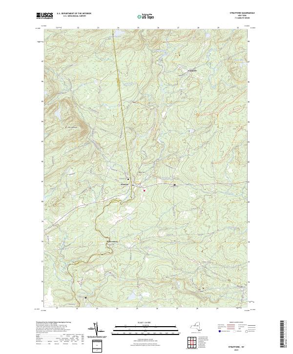
Current Stratford GeoPDF Map
1945 Map No. 139921, 1945 Map No. 139922, 1945 Map No. 139923, 1945 Map No. 139924 Herkimer FP Detached Parcel, Ferris Lake Wild Forest, North Creek Fishing Access Oppenheim (6%), Salisbury (16%), Stratford (43%)
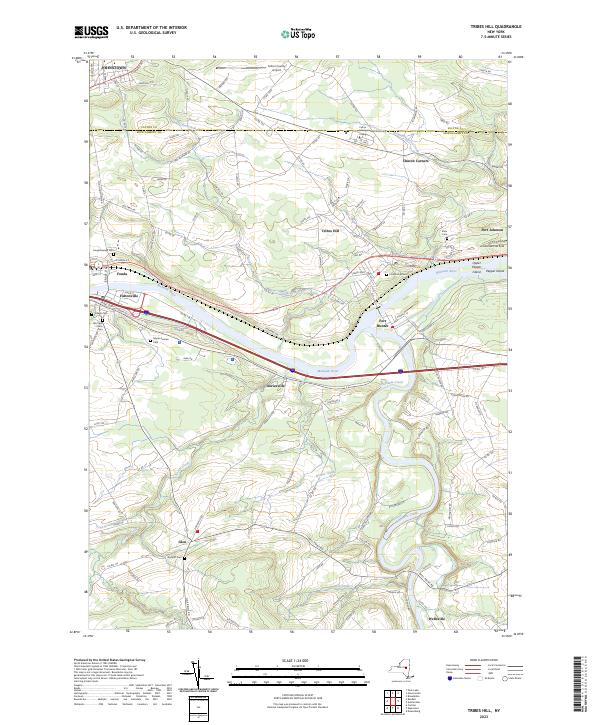
Current Tribes Hill GeoPDF Map
1944 Map No. 139361, 1944 Map No. 139363 NA Amsterdam (13%), Florida (17%), Glen (56%), Johnstown city (8%), Johnstown (6%), Mohawk (38%), Perth (8%)

Genesee County

PDF (50-60 MB Download) Historical USGS Topo Maps State Lands (Links to DEC Website) Towns (Percent of Town’s Area)
Current Akron GeoPDF Map
1949 Map No. 136539, 1951 Map No. 136540, 1951 Map No. 710097 Onondaga Escarpment Unique Area, John White WMA, Tonawanda WMA Alabama (46%), Newstead (17%), Pembroke (24%), Royalton (6%), Tonawanda Reservation (100%), Tonawanda Reservation (100%), Tonawanda Reservation (100%)
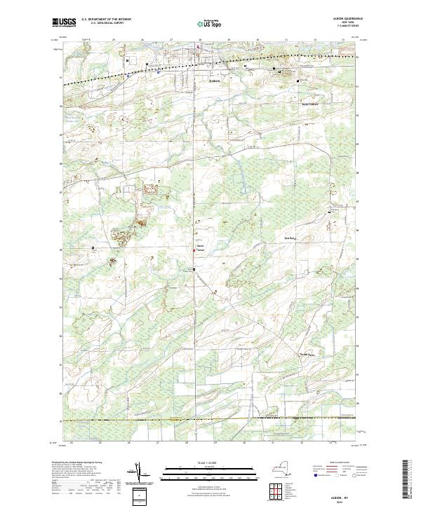
Current Albion GeoPDF Map
1950 Map No. 136565, 1950 Map No. 136566, 1950 Map No. 137062, 1952 Map No. 136570 NA Albion (64%), Barre (64%), Elba (7%), Oakfield (1%)
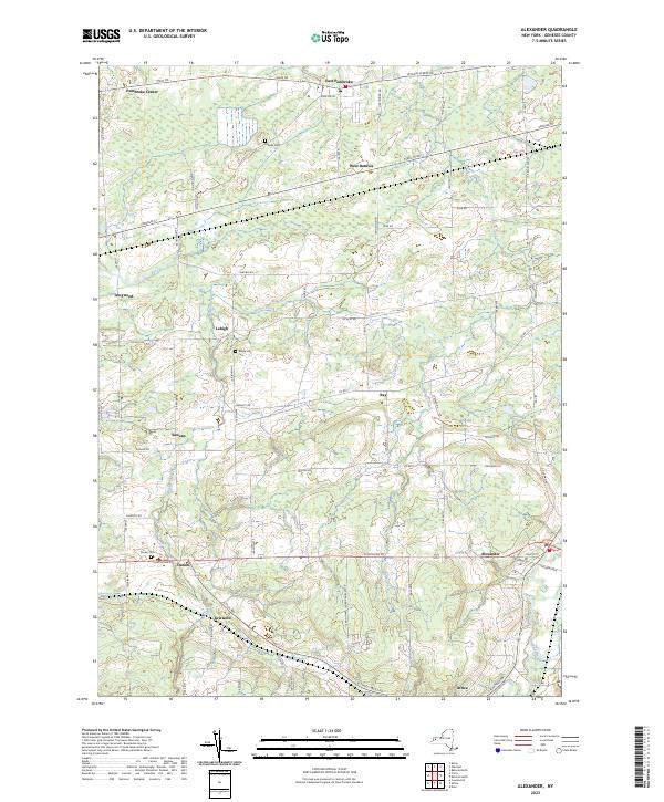
Current Alexander GeoPDF Map
1949 Map No. 136585, 1949 Map No. 136586, 1951 Map No. 136587 NA Alexander (47%), Batavia (18%), Darien (40%), Pembroke (24%)
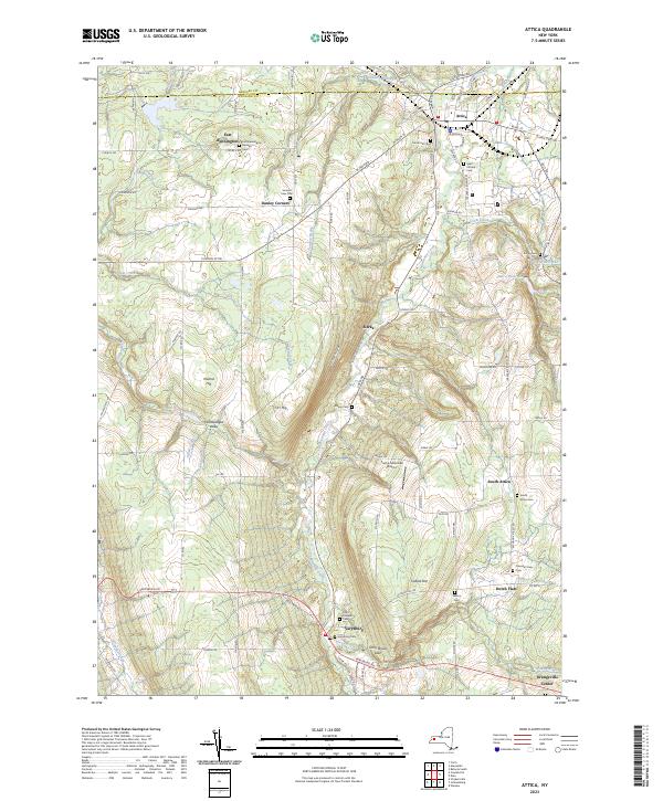
Current Attica GeoPDF Map
1949 Map No. 136721, 1949 Map No. 136725, 1951 Map No. 136724 NA Alexander (3%), Attica (49%), Bennington (38%), Darien (3%), Orangeville (18%), Sheldon (15%)
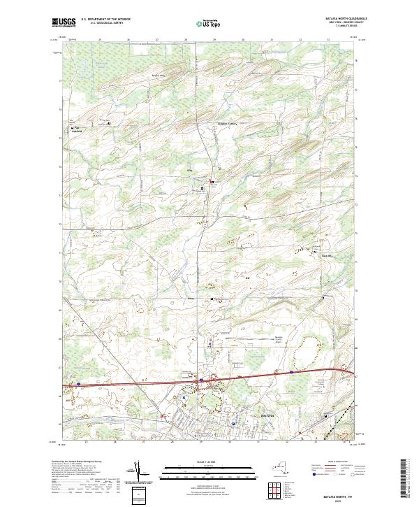
Current Batavia North GeoPDF Map
1950 Map No. 123190, 1950 Map No. 123192, 1951 Map No. 123191 NA Batavia city (45%), Batavia (33%), Elba (84%), Oakfield (21%), Stafford (4%)
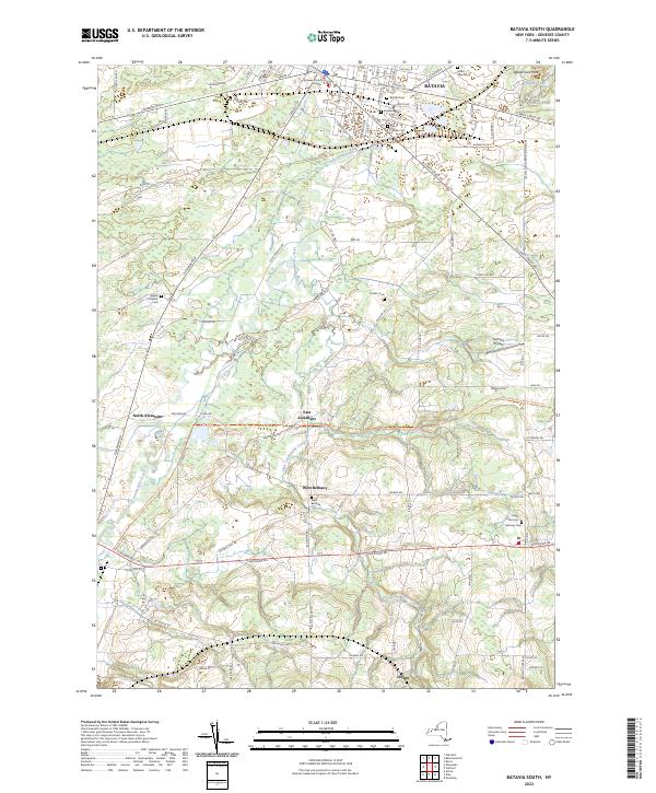
Current Batavia South GeoPDF Map
1950 Map No. 123193, 1950 Map No. 123194, 1950 Map No. 710214 Groveland Secondary Trailway Alexander (47%), Batavia city (55%), Batavia (30%), Bethany (54%), Stafford (4%)
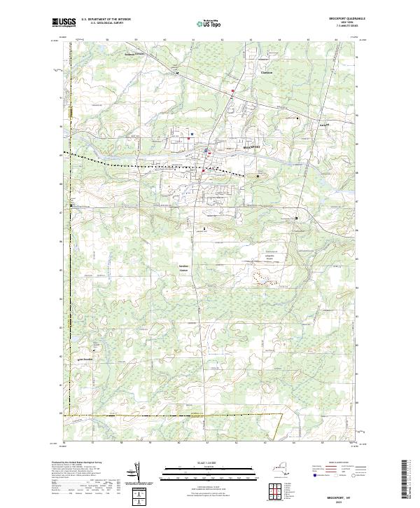
Current Brockport GeoPDF Map
1934 Map No. 123100, 1952 Map No. 123101, 1952 Map No. 123102, 1952 Map No. 123103, 1971 Map No. 123104, 1971 Map No. 123106 NA Bergen (9%), Clarendon (2%), Clarkson (38%), Murray (1%), Ogden (11%), Riga (1%), Sweden (99%)
Current Byron GeoPDF Map
1950 Map No. 123063, 1950 Map No. 123065, 1950 Map No. 123134, 1952 Map No. 123064 NA Bergen (17%), Byron (93%), Elba (7%), Le Roy (11%), Stafford (40%)
Current Churchville GeoPDF Map
1935 Map No. 122736, 1950 Map No. 122738, 1950 Map No. 122739 NA Bergen (72%), Le Roy (32%), Riga (48%), Wheatland (13%)
Current Corfu GeoPDF Map
1950 Map No. 137814, 1950 Map No. 137815 NA Alden (29%), Darien (53%), Newstead (11%), Pembroke (33%)
Current Cowlesville GeoPDF Map
1949 Map No. 137726, 1951 Map No. 137727 NA Alden (3%), Bennington (62%), Darien (5%), Marilla (14%), Sheldon (20%), Wales (11%)
Current Dale GeoPDF Map
1949 Map No. 137942, 1949 Map No. 137944, 1949 Map No. 137945, 1951 Map No. 137943 Carlton Hill Mua Alexander (3%), Attica (51%), Bethany (3%), Middlebury (56%), Orangeville (19%), Warsaw (21%)
Current Holley GeoPDF Map
1950 Map No. 129882, 1950 Map No. 129883, 1950 Map No. 137254 NA Albion (5%), Barre (5%), Bergen (2%), Byron (7%), Clarendon (98%), Elba (1%), Murray (43%)
Current Knowlesville GeoPDF Map
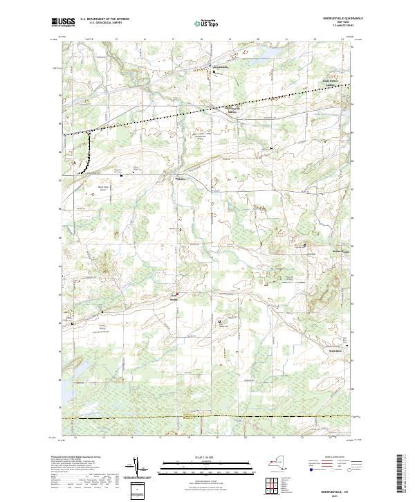
1950 Map No. 130142, 1950 Map No. 130143, 1950 Map No. 255469 Oak Orchard WMA Alabama (3%), Albion (26%), Barre (31%), Oakfield (6%), Ridgeway (17%), Shelby (42%)
Current Le Roy GeoPDF Map
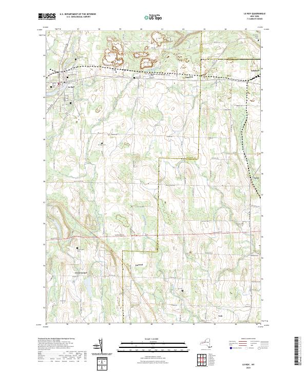
1950 Map No. 130235, 1950 Map No. 130236, 1950 Map No. 130237, 1950 Map No. 137314 Groveland Secondary Trailway Caledonia (24%), Le Roy (40%), Pavilion (39%), Wheatland (5%), York (23%)
Current Leicester GeoPDF Map
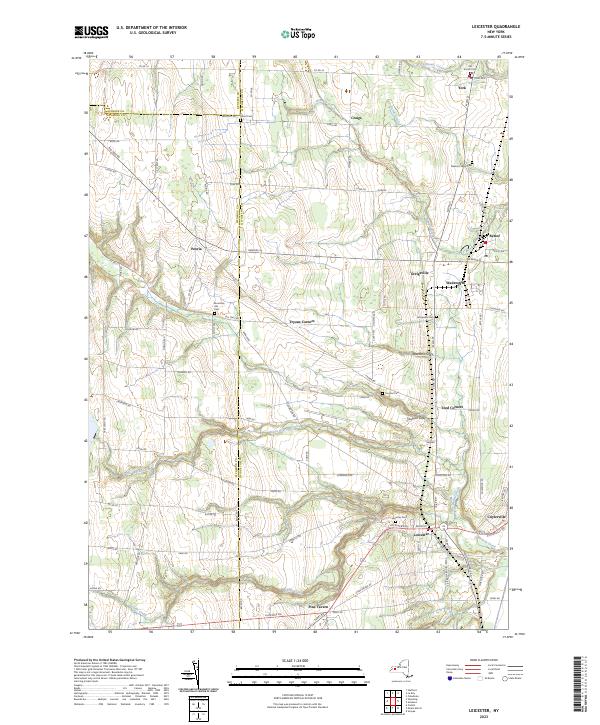
1951 Map No. 130247, 1951 Map No. 130248, 1951 Map No. 130249 Groveland Secondary Trailway Covington (37%), Leicester (50%), Pavilion (5%), Perry (22%), York (37%)
Current Medina GeoPDF Map
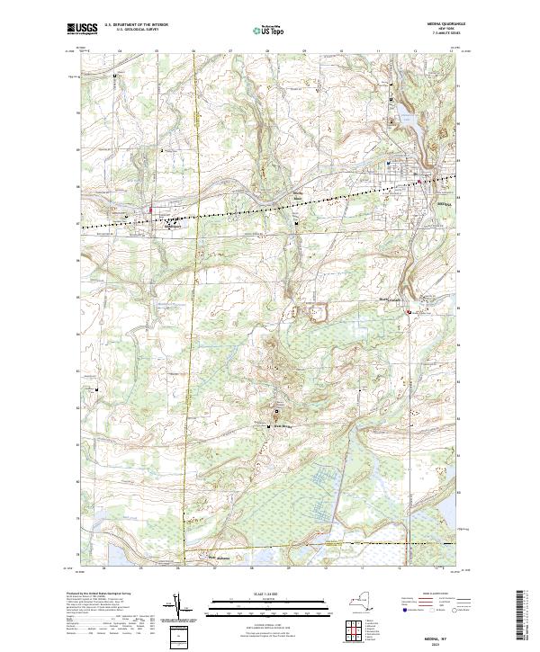
1949 Map No. 130524, 1951 Map No. 130527 Tonawanda WMA Alabama (4%), Hartland (9%), Ridgeway (20%), Royalton (16%), Shelby (58%)
Current Oakfield GeoPDF Map
1950 Map No. 128850, 1952 Map No. 128851 Oak Orchard WMA, Oak Orchard WMA Alabama (47%), Batavia (19%), Oakfield (72%), Pembroke (19%)
Current Stafford GeoPDF Map
1950 Map No. 139858, 1950 Map No. 139859, 1950 Map No. 139860 Groveland Secondary Trailway Bethany (41%), Le Roy (16%), Pavilion (48%), Stafford (52%)
Current Wyoming GeoPDF Map
1951 Map No. 137048, 1951 Map No. 137049, 1951 Map No. 140389, 1951 Map No. 140390 NA Bethany (2%), Covington (63%), Middlebury (44%), Pavilion (8%), Perry (37%), Warsaw (16%)

Greene County

PDF (50-60 MB Download) Historical USGS Topo Maps State Lands (Links to DEC Website) Towns (Percent of Town’s Area)
Current Alcove GeoPDF Map
1953 Map No. 136571, 1953 Map No. 136572, 1953 Map No. 136573 Coxsackie FP Detached Parcel, Greenville FP Detached Parcel Coeymans (33%), Coxsackie (6%), Greenville (30%), New Baltimore (39%), Westerlo (12%)
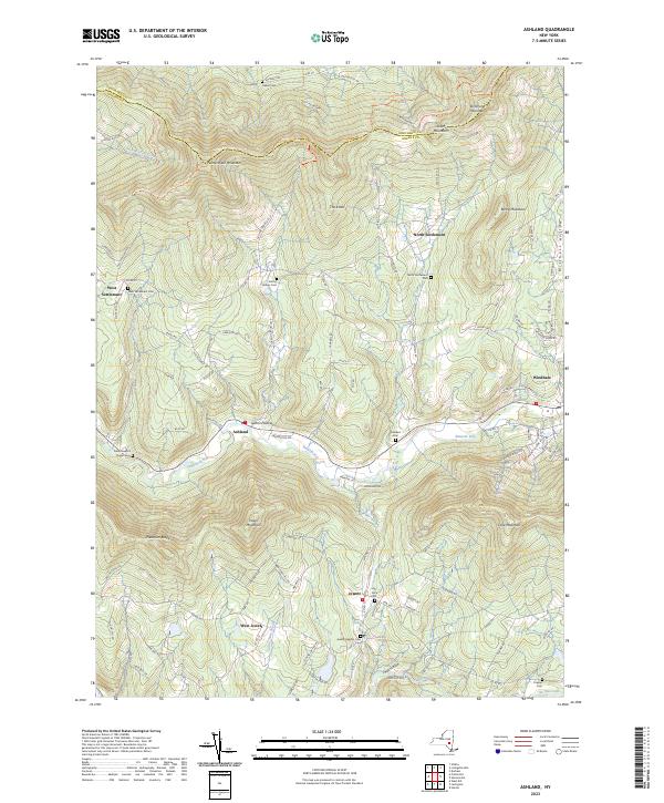
Current Ashland GeoPDF Map
1945 Map No. 136704, 1945 Map No. 136705, 1945 Map No. 136707, 1946 Map No. 136706 Huntersfield State Forest, Ashland Pinnacle State Forest, South Mountain State Forest, Mount Pisgah State Forest Ashland (91%), Conesville (13%), Jewett (21%), Lexington (6%), Prattsville (7%), Windham (24%)
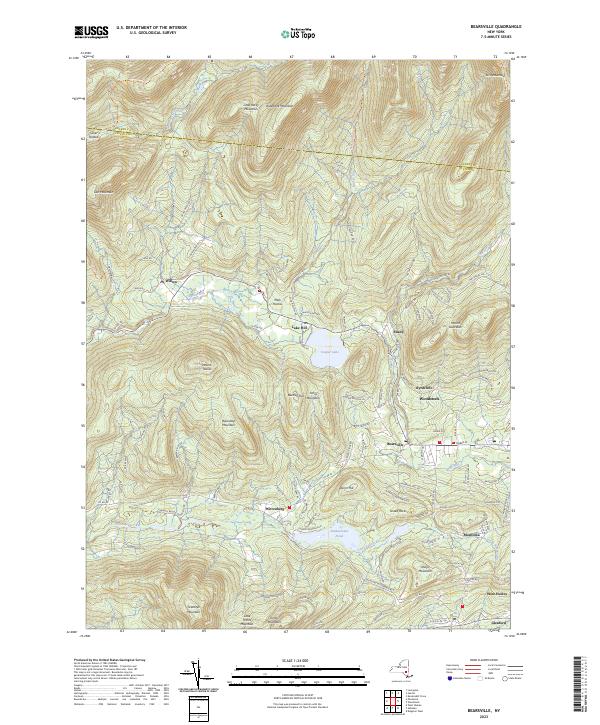
Current Bearsville GeoPDF Map
1945 Map No. 123225, 1945 Map No. 123226, 1945 Map No. 137092, 1946 Map No. 123228, 1997 Map No. 137094 Overlook Mountain Wild Forest, Phoenicia – Mt. Tobias Wild Forest, Indian Head Wilderness, Mink Hollow Primitive Bicycle Corridor, Kenneth L. Wilson Campground Hunter (10%), Hurley (8%), Olive (2%), Woodstock (62%)
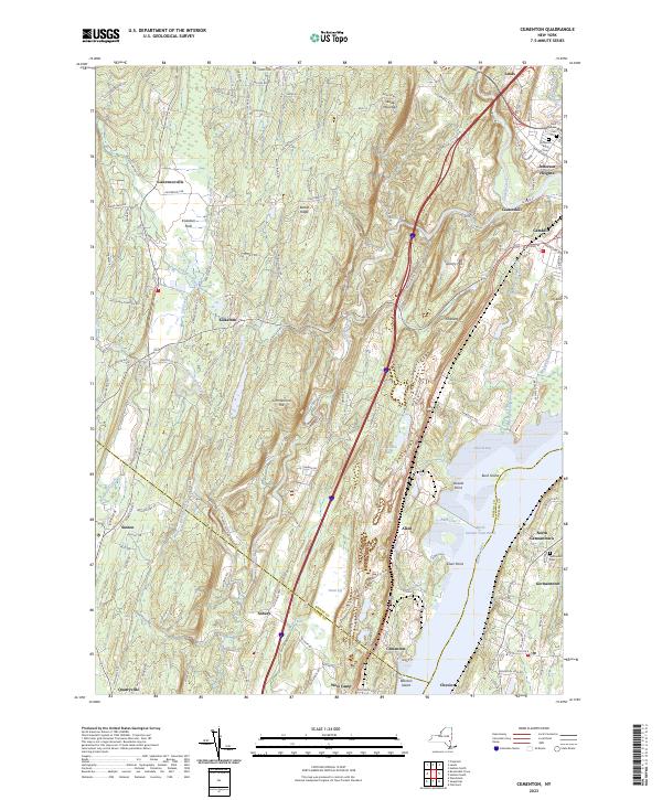
Current Cementon GeoPDF Map
1963 Map No. 122882, 1963 Map No. 122883, 1963 Map No. 122884, 1963 Map No. 137143 Seward’s Island, Catskill FP Detatched Parcel, Great Vly WMA Athens (0%), Cairo (0%), Catskill (68%), Germantown (29%), Saugerties (12%)
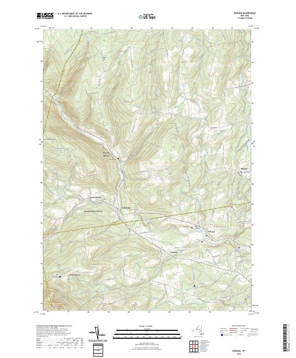
Current Durham GeoPDF Map
1945 Map No. 137938, 1946 Map No. 137933, 1946 Map No. 137934, 1967 Map No. 137937 Catskill Creek Fishing Access, Mount Hayden State Forest, Mount Pisgah State Forest, Scott Patent State Forest, Rensselaerville State Forest Broome (4%), Conesville (0%), Durham (36%), Rensselaerville (57%), Windham (0%)
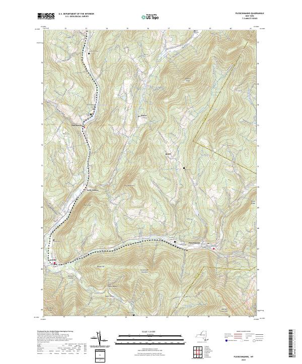
Current Fleischmanns GeoPDF Map
1945 Map No. 138238, 1945 Map No. 138239, 1945 Map No. 138241, 1945 Map No. 138242, 1946 Map No. 138240 Belleayre Mountain Ski Center, Greene County FP Detached Parcel, Big Indian Wilderness, Dry Brook Ridge Wild Forest Halcott (19%), Hardenburgh (0%), Middletown (36%), Roxbury (15%), Shandaken (2%)
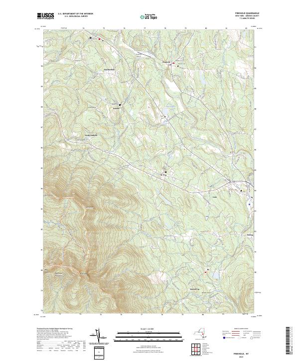
Current Freehold GeoPDF Map
1943 Map No. 138174, 1943 Map No. 138175, 1945 Map No. 138177 Cairo Lockwood State Forest, Colgate Lake Wild Forest, Windham-Blackhead Range Wilderness Cairo (57%), Durham (21%), Greenville (14%), Jewett (5%), Windham (6%)
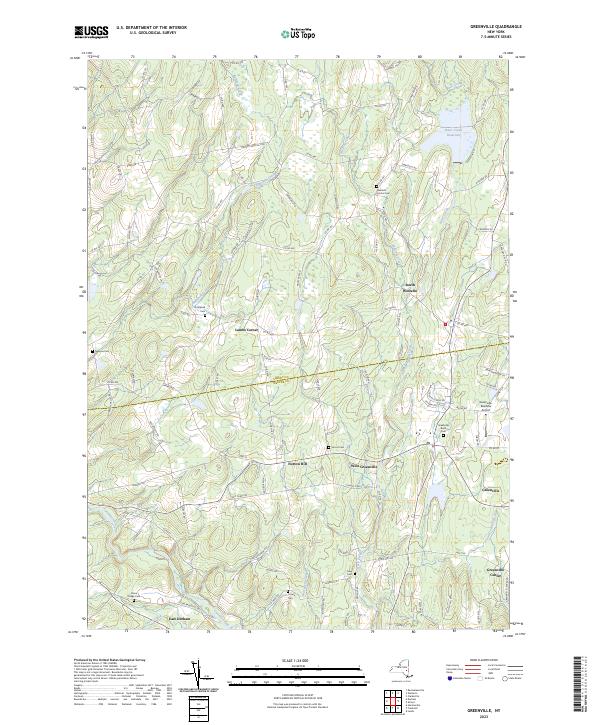
Current Greenville GeoPDF Map
1945 Map No. 129624, 1945 Map No. 129625, 1946 Map No. 129626, 1980 Map No. 129627 NA Durham (16%), Greenville (42%), Rensselaerville (11%), Westerlo (41%)
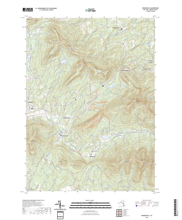
Current Hensonville GeoPDF Map
1945 Map No. 129900, 1946 Map No. 129902, 1946 Map No. 129904, 1980 Map No. 129898, 1980 Map No. 129899 Mount Hayden State Forest, Mount Pisgah State Forest, Colgate Lake Wild Forest, Elm Ridge Wild Forest, Windham-Blackhead Range Wilderness Cairo (1%), Durham (27%), Jewett (20%), Windham (69%)
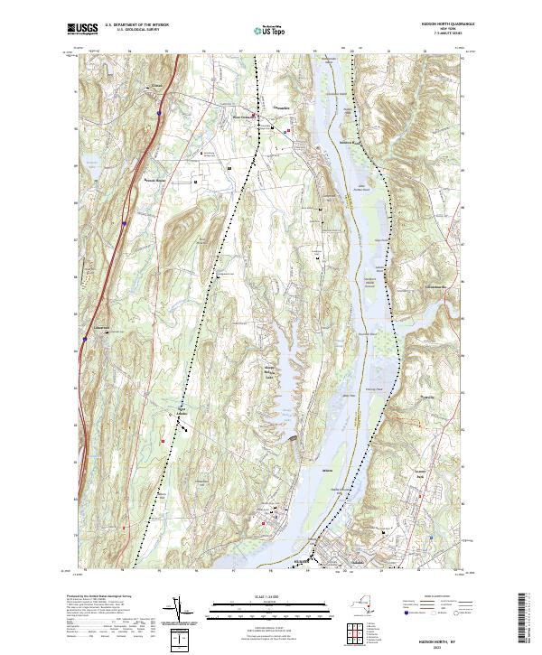
Current Hudson North GeoPDF Map
1953 Map No. 129935, 1953 Map No. 129936, 1953 Map No. 129937, 1980 Map No. 129938 Brandow Point Unique Area, Charles Flood WMA At The Empire Brickyard, Middle Ground Flats Unique Area, Stockport Flats Estuarine Sanctuary, Nutten Hook State Tidal Wetland, Stockport WMA, Vosburgh Swamp WMA, Athens State Boat Launch Athens (59%), Claverack (1%), Coxsackie (56%), Greenport (17%), Hudson city (58%), Stockport (56%), Stuyvesant (15%)
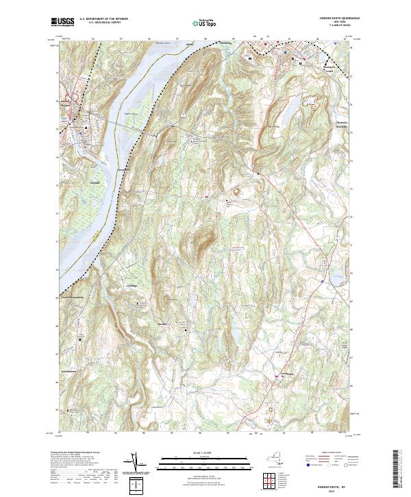
Current Hudson South GeoPDF Map
1963 Map No. 129939, 1963 Map No. 129940, 1963 Map No. 129942, 1980 Map No. 129941 Brandow Point Unique Area, Livingston State Forest, Rogers Island WMA Athens (5%), Catskill (8%), Claverack (3%), Clermont (4%), Germantown (34%), Greenport (82%), Hudson city (42%), Livingston (61%), Taghkanic (0%)
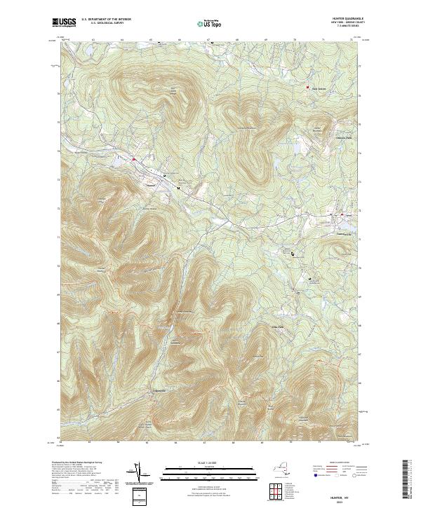
Current Hunter GeoPDF Map
1945 Map No. 129946, 1945 Map No. 129947, 1946 Map No. 129949, 1980 Map No. 129950, 1997 Map No. 137269 Colgate Lake Wild Forest, Kaaterskill Wild Forest, Rusk Mountain Wild Forest, Phoenicia – Mt. Tobias Wild Forest, Hunter-West Kill Wilderness, Indian Head Wilderness, Mink Hollow Primitive Bicycle Corridor, Windham-Blackhead Range Wilderness, Devil’s Tombstone Campground Hunter (49%), Jewett (21%), Lexington (1%)
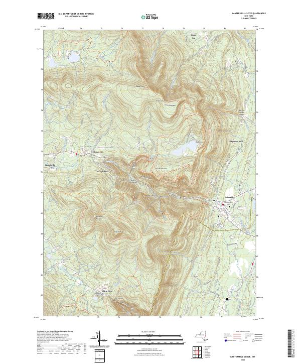
Current Kaaterskill Clove GeoPDF Map
1946 Map No. 130114, 1997 Map No. 130115 Colgate Lake Wild Forest, Kaaterskill Wild Forest, Indian Head Wilderness, Overlook Turnpike Primitive Bicycle Corridor, Dutcher Notch Primitive Bicycle Corridor, Windham-Blackhead Range Wilderness, North/South Lake Campground Cairo (7%), Catskill (16%), Hunter (32%), Jewett (9%), Saugerties (11%)
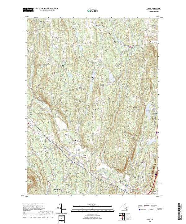
Current Leeds GeoPDF Map
1953 Map No. 130243, 1953 Map No. 130244, 1953 Map No. 130245, 1953 Map No. 137315 Athens FP Detached Parcel Athens (36%), Cairo (35%), Catskill (8%), Coxsackie (34%), Greenville (14%)
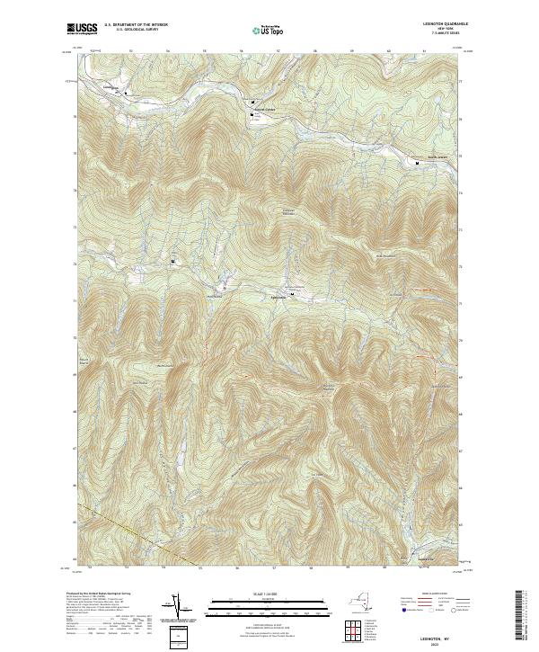
Current Lexington GeoPDF Map
1946 Map No. 130258, 1960 Map No. 130260, 1960 Map No. 130261, 1960 Map No. 130262 Rusk Mountain Wild Forest, Shandaken Wild Forest, Phoenicia – Mt. Tobias Wild Forest, Diamond Notch Primitive Bicycle Corridor, Hunter-West Kill Wilderness Hunter (2%), Jewett (24%), Lexington (50%), Shandaken (1%)
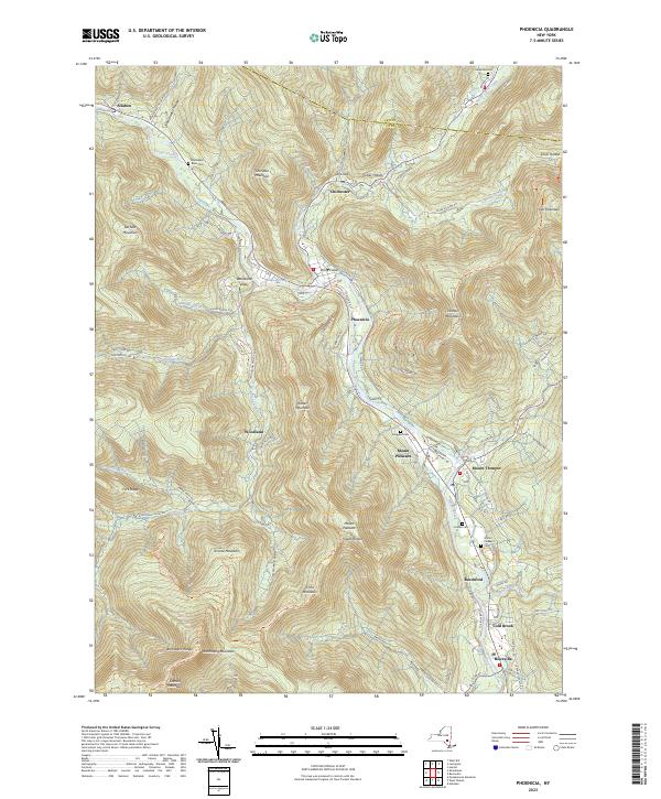
Current Phoenicia GeoPDF Map
1946 Map No. 128986, 1960 Map No. 128990, 1960 Map No. 128991, 1960 Map No. 128992, 1960 Map No. 128993, 1960 Map No. 136793, 1997 Map No. 136794 Simpson Ski Slope, Unclassified, Esopus Creek Fishing Access, Woodland Valley Stream Parking, Shandaken Wild Forest, Phoenicia – Mt. Tobias Wild Forest, Hunter-West Kill Wilderness, Slide Mountain Wilderness, Woodland Valley Campground Hunter (2%), Lexington (2%), Olive (5%), Shandaken (36%), Woodstock (8%)
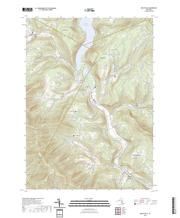
Current Prattsville GeoPDF Map
1945 Map No. 129181, 1945 Map No. 129182, 1945 Map No. 129183, 1946 Map No. 129184 Huntersfield State Forest, Bearpen Mountain State Forest Ashland (9%), Conesville (5%), Gilboa (4%), Halcott (12%), Lexington (13%), Prattsville (93%), Roxbury (18%)
Current Ravena GeoPDF Map
1953 Map No. 136024, 1953 Map No. 136025, 1953 Map No. 136026 Bronck Island, Hannacroix Unique Area, Van Schaak Unique Area, New Baltimore FP Detached Parcel, Nutten Hook State Tidal Wetland, Coeymans Creek WMA Coeymans (25%), Coxsackie (3%), New Baltimore (61%), Schodack (7%), Stuyvesant (38%)
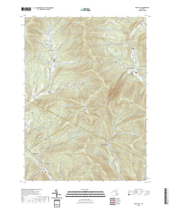
Current West Kill GeoPDF Map
1945 Map No. 140167, 1960 Map No. 137008, 1960 Map No. 140169, 1960 Map No. 140170 Belleayre Mountain Ski Center, Belleayre Mountain Day Use Area, Greene County FP Detached Parcel, Halcott Mountain Wild Forest, Bearpen Mountain State Forest, Rusk Mountain Wild Forest, Shandaken Wild Forest, Hunter-West Kill Wilderness, Vinegar Hill WMA Halcott (69%), Lexington (28%), Middletown (4%), Shandaken (11%)
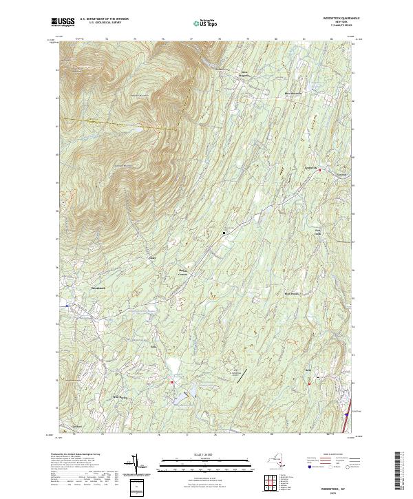
Current Woodstock GeoPDF Map
1945 Map No. 140378, 1945 Map No. 140379, 1945 Map No. 140380, 1945 Map No. 140381 High Woods Multiple Use Area, Kaaterskill Wild Forest, Overlook Mountain Wild Forest, Bluestone Wild Forest, Indian Head Wilderness, Overlook Turnpike Primitive Bicycle Corridor Hunter (6%), Hurley (7%), Kingston (11%), Saugerties (36%), Ulster (11%), Woodstock (28%)

Hamilton County

PDF (50-60 MB Download) Historical USGS Topo Maps State Lands (Links to DEC Website) Towns (Percent of Town’s Area)
Current Bad Luck Mountain GeoPDF Map
NA Unclassified, Hudson Gorge Wilderness, Blue Mountain Wild Forest, Jessup River Wild Forest, Vanderwhacker Mountain Wild Forest, Siamese Ponds Wilderness, Essex Chain Lakes Primitive Area, Pine Lake Primitive Area Indian Lake (12%), Minerva (10%), Newcomb (3%)
Current Blue Mountain Lake GeoPDF Map
NA Blue Ridge Wilderness, Blue Mountain Wild Forest, West Canada Lake Wilderness, Sargent Ponds Wild Forest, Jessup River Wild Forest, Lake Durant Campground Indian Lake (19%), Lake Pleasant (1%)
Current Brandreth Lake GeoPDF Map
NA Pigeon Lake Wilderness, Sargent Ponds Wild Forest, William C. Whitney Wilderness Long Lake (12%)
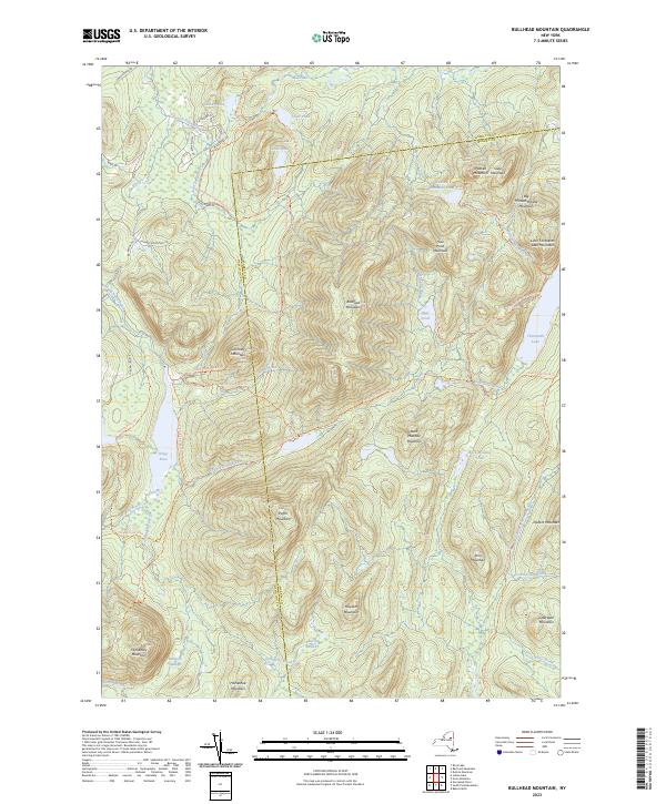
Current Bullhead Mountain GeoPDF Map
NA Jessup River Wild Forest, Siamese Ponds Wilderness Indian Lake (6%), Johnsburg (15%), Wells (4%)
Current Canada Lake GeoPDF Map
1945 Map No. 123087, 1945 Map No. 123088, 1945 Map No. 123089, 1945 Map No. 123090, 1946 Map No. 123091, 1946 Map No. 123092, 1997 Map No. 137147 Unclassified, Silver Lake Wilderness, Shaker Mountain Wild Forest, Ferris Lake Wild Forest Arietta (1%), Caroga (37%), Stratford (39%)
Current Caroga Lake GeoPDF Map
1945 Map No. 122816, 1945 Map No. 122817, 1970 Map No. 122818, 1997 Map No. 137156 Silver Lake Wilderness, Shaker Mountain Wild Forest, Ferris Lake Wild Forest, Caroga Lake Campground Arietta (1%), Benson (5%), Bleecker (49%), Caroga (34%)
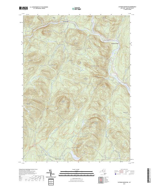
Current Cathead Mountain GeoPDF Map
NA Cathead Mountain Primitive Area, Sacandaga Primitive Area, Silver Lake Wilderness, Shaker Mountain Wild Forest, Jessup River Wild Forest, Wilcox Lake Wild Forest, Sacandaga Campground Benson (42%), Hope (17%), Wells (7%)
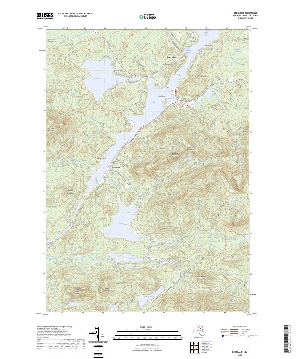
Current Deerland GeoPDF Map
NA Blue Mountain Wild Forest, Sargent Ponds Wild Forest, High Peaks Wilderness, Lake Eaton Campground, Long Lake State Boat Launch Arietta (1%), Indian Lake (6%), Long Lake (8%)
Current Dun Brook Mountain GeoPDF Map
NA Blue Mountain Wild Forest, High Peaks Wilderness, Essex Chain Lakes Primitive Area Indian Lake (5%), Long Lake (5%), Minerva (11%), Newcomb (1%)
Current Dutton Mountain GeoPDF Map
NA Hudson Gorge Primitive Area, Hudson Gorge Wilderness, Ok Slip Pond Primitive Area, Vanderwhacker Mountain Wild Forest, Vanderwhacker Mountain Wild Forest, Siamese Ponds Wilderness Chester (0%), Indian Lake (5%), Minerva (25%)
Current Eagle Bay GeoPDF Map
NA Pigeon Lake Wilderness, Moose River Plains Wild Forest, Fulton Chain Wild Forest, Fourth Lake Boat Launch Inlet (13%), Long Lake (5%), Webb (5%)
Current Forked Lake GeoPDF Map
NA Sargent Ponds Wild Forest, William C. Whitney Wilderness, Forked Lake Campground Arietta (3%), Indian Lake (0%), Long Lake (10%)
Current Gore Mountain GeoPDF Map
NA Vanderwhacker Mountain Wild Forest, Chatiemac Lake Primitive Area, Siamese Ponds Wilderness, North Creek Parking Fishing Access, Gore Mountain Ski Center Chester (3%), Indian Lake (1%), Johnsburg (24%), Minerva (0%)
Current Grampus Lake GeoPDF Map
NA Sargent Ponds Wild Forest, High Peaks Wilderness Harrietstown (0%), Long Lake (10%), Tupper Lake (5%)
Current Griffin GeoPDF Map
NA Jessup River Wild Forest, Wilcox Lake Wild Forest, Forks Mountain Primitive Area, Siamese Ponds Wilderness Stony Creek (14%), Thurman (8%), Wells (19%)
Current Hoffmeister GeoPDF Map
NA West Canada Lake Wilderness, West Canada Mountain Primitive Area, Wilmurt Club Road Primitive Area, Ferris Lake Wild Forest Arietta (1%), Morehouse (25%)
Current Honnedaga Lake GeoPDF Map
NA West Canada Lake Wilderness, West Canada Mountain Primitive Area, Moose River Plains Wild Forest, Black River Wild Forest Morehouse (8%), Ohio (13%)
Current Hope Falls GeoPDF Map
NA Silver Lake Wilderness, Shaker Mountain Wild Forest, Wilcox Lake Wild Forest Benson (3%), Day (9%), Edinburg (7%), Hope (83%), Northampton (1%), Stony Creek (0%), Wells (3%)
Current Indian Lake GeoPDF Map
NA West Canada Lake Wilderness, Jessup River Wild Forest, Siamese Ponds Wilderness Indian Lake (17%), Lake Pleasant (2%), Wells (2%)
Current Jackson Summit GeoPDF Map
1945 Map No. 129959, 1946 Map No. 129960, 1970 Map No. 129961, 1970 Map No. 129962 Silver Lake Wilderness, Shaker Mountain Wild Forest Benson (12%), Bleecker (39%), Mayfield (33%)
Current Jerseyfield Lake GeoPDF Map
NA Ferris Lake Wild Forest Morehouse (11%), Ohio (2%), Salisbury (25%)
Current Kempshall Mountain GeoPDF Map
NA Sargent Ponds Wild Forest, High Peaks Wilderness Harrietstown (1%), Long Lake (9%), Newcomb (4%)
Current Kunjamuk River GeoPDF Map
NA Jessup River Wild Forest, Dug Mountain Primitive Area, Siamese Ponds Wilderness Indian Lake (0%), Lake Pleasant (12%), Wells (17%)
Current Lake Pleasant GeoPDF Map
NA Silver Lake Wilderness, Jessup River Wild Forest, Moffitt Beach Campground Arietta (2%), Lake Pleasant (22%), Wells (2%)
Current Limekiln Lake GeoPDF Map
NA West Canada Lake Wilderness, Moose River Plains Camping Area, Moose River Plains Wild Forest, Fulton Chain Wild Forest, Alger Island Campground, Limekiln Lake Campground Inlet (27%), Morehouse (2%), Ohio (8%), Webb (2%)
Current Little Tupper Lake GeoPDF Map
NA Sargent Ponds Wild Forest, Horseshoe Lake Wild Forest, Round Lake Wilderness, William C. Whitney Wilderness, Winding Falls Primitive Area Long Lake (9%), Piercefield (8%), Tupper Lake (2%)
Current Morehouse Lake GeoPDF Map
NA Ferris Lake Wild Forest Arietta (6%), Morehouse (11%), Salisbury (5%), Stratford (9%)
Current Morehouseville GeoPDF Map
NA West Canada Lake Wilderness, West Canada Mountain Primitive Area, Ferris Lake Wild Forest, Black River Wild Forest Morehouse (13%), Ohio (10%)
Current Mount Tom GeoPDF Map
NA West Canada Lake Wilderness, Little Moose Wilderness, Moose River Plains Camping Area, Moose River Plains Wild Forest, Fulton Chain Boat Launch Arietta (5%), Inlet (39%), Long Lake (0%), Morehouse (6%)
Current Nehasane Lake GeoPDF Map
NA Pigeon Lake Wilderness, Five Ponds Wilderness, Partlow Lake Primitive Area, Independence River Wild Forest, Nehasane Primitive Area, William C. Whitney Wilderness Long Lake (8%), Webb (3%)
Current Northville GeoPDF Map
1945 Map No. 128798, 1946 Map No. 128799, 1970 Map No. 128800, 1970 Map No. 128801 Shaker Mountain Wild Forest, Wilcox Lake Wild Forest, Sacandaga River State Boat Launch, Northampton Beach Campground Benson (3%), Broadalbin (9%), Edinburg (3%), Hope (0%), Mayfield (18%), Northampton (99%)
Current Page Mountain GeoPDF Map
NA West Canada Lake Wilderness, Jessup River Wild Forest, Siamese Ponds Wilderness Arietta (0%), Lake Pleasant (27%)
Current Piseco Lake GeoPDF Map
NA Silver Lake Wilderness, West Canada Lake Wilderness, Ferris Lake Wild Forest, Jessup River Wild Forest, Little Sand Point Campground, Point Comfort Campground, Poplar Point Day Use Area Arietta (16%)
Current Raquette Lake GeoPDF Map
NA Blue Ridge Wilderness, Pigeon Lake Wilderness, Sargent Ponds Wild Forest, Moose River Plains Wild Forest, Brown Tract Pond Campground, Eighth Lake Campground, Tioga Point Campground Arietta (0%), Inlet (21%), Long Lake (9%)
Current Rock Lake GeoPDF Map
NA Unclassified, Blue Ridge Wilderness, Blue Mountain Wild Forest, Jessup River Wild Forest, Essex Chain Lakes Primitive Area, Pine Lake Primitive Area Indian Lake (20%), Minerva (1%)
Current Sabattis GeoPDF Map
NA Eastern Five Ponds Access Primitive Area, Five Ponds Wilderness, Horseshoe Lake Wild Forest, Nehasane Primitive Area, Round Lake Wilderness, William C. Whitney Wilderness Colton (5%), Long Lake (8%), Piercefield (3%)
Current Sargent Ponds GeoPDF Map
NA Blue Ridge Wilderness, Sargent Ponds Wild Forest, Moose River Plains Wild Forest, Golden Beach Campground Arietta (10%), Indian Lake (3%), Lake Pleasant (3%), Long Lake (1%)
Current Snowy Mountain GeoPDF Map
NA Blue Ridge Wilderness, West Canada Lake Wilderness, Jessup River Wild Forest, Moose River Plains Camping Area, Moose River Plains Wild Forest, Indian Lake Islands Campground, Lewey Lake Campground Indian Lake (5%), Lake Pleasant (21%)
Current South Pond Mountain GeoPDF Map
NA Wilcox Lake Wild Forest, Siamese Ponds Wilderness Johnsburg (11%), Thurman (5%), Wells (15%)
Current Spruce Lake GeoPDF Map
NA West Canada Lake Wilderness, Jessup River Wild Forest Arietta (16%), Lake Pleasant (1%)
Current Spruce Lake Mountain GeoPDF Map
NA West Canada Lake Wilderness, West Canada Mountain Primitive Area, Moose River Plains Wild Forest Arietta (3%), Morehouse (23%)
Current Tomany Mountain GeoPDF Map
NA Silver Lake Wilderness, Ferris Lake Wild Forest Arietta (16%), Stratford (1%)
Current Wakely Mountain GeoPDF Map
NA Blue Ridge Wilderness, Wakely Mountain Primitive Area, West Canada Lake Wilderness, Little Moose Wilderness, Moose River Plains Camping Area, Moose River Plains Wild Forest Arietta (14%), Lake Pleasant (4%), Long Lake (0%)
Current Wells GeoPDF Map
NA Silver Lake Wilderness, Jessup River Wild Forest, Wilcox Lake Wild Forest, Forks Mountain Primitive Area, Siamese Ponds Wilderness Lake Pleasant (7%), Wells (23%)
Current Whitehouse GeoPDF Map
NA Sacandaga Primitive Area, Silver Lake Wilderness Arietta (4%), Benson (34%), Wells (7%)
Current Wolf Mountain GeoPDF Map
1968 Map No. 140367, 1968 Map No. 140368, 1999 Map No. 137042 Eastern Five Ponds Access Primitive Area, Five Ponds Wilderness, Partlow Lake Primitive Area, Nehasane Primitive Area, William C. Whitney Wilderness Clifton (12%), Colton (1%), Long Lake (6%), Webb (1%)

Herkimer County

PDF (50-60 MB Download) Historical USGS Topo Maps State Lands (Links to DEC Website) Towns (Percent of Town’s Area)
Current Beaver River GeoPDF Map
NA Pigeon Lake Wilderness, Five Ponds Wilderness, Independence River Wild Forest Webb (11%)
Current Big Moose GeoPDF Map
NA Pigeon Lake Wilderness, Twitchell Lake Primitive Area, Independence River Wild Forest, Fulton Chain Wild Forest, Ha-De-Ron-Dah Wilderness Webb (11%)
Current Bisby Lakes GeoPDF Map
NA West Canada Lake Wilderness, Black River Wild Forest Ohio (12%), Webb (3%)
Current Black Creek Lake GeoPDF Map
NA Ferris Lake Wild Forest, Black River Wild Forest Ohio (18%)
Current Eagle Bay GeoPDF Map
NA Pigeon Lake Wilderness, Moose River Plains Wild Forest, Fulton Chain Wild Forest, Fourth Lake Boat Launch Inlet (13%), Long Lake (5%), Webb (5%)
Current East Springfield GeoPDF Map
1943 Map No. 138023, 1943 Map No. 138024 NA Cherry Valley (34%), Middlefield (19%), Minden (1%), Otsego (0%), Roseboom (4%), Springfield (57%), Stark (3%)
Current Five Ponds GeoPDF Map
1969 Map No. 138155, 1969 Map No. 138156, 1999 Map No. 137329 Cranberry Lake Wild Forest, Buck Pond Primitive Area, Five Ponds Wilderness, Wanakena Primitive Area Clifton (2%), Fine (14%), Webb (6%)
Current Fort Plain GeoPDF Map
1944 Map No. 138157, 1944 Map No. 138280 NA Canajoharie (9%), Danube (4%), Manheim (0%), Minden (87%), Palatine (2%), St. Johnsville (25%)
Current Herkimer GeoPDF Map
1943 Map No. 129905, 1943 Map No. 129906 Plantation Island WMA, West Canada Creek Fishing Access Fairfield (43%), German Flatts (17%), Herkimer (55%), Little Falls city (5%), Little Falls (55%), Newport (1%)
Current Hinckley GeoPDF Map
1946 Map No. 129856, 1946 Map No. 129857, 1946 Map No. 137252 Hinckley State Forest, Ferris Lake Wild Forest, Black River Wild Forest, Hinckley Day Use Area Norway (2%), Ohio (2%), Remsen (23%), Russia (66%), Trenton (1%)
Current Honnedaga Lake GeoPDF Map
NA West Canada Lake Wilderness, West Canada Mountain Primitive Area, Moose River Plains Wild Forest, Black River Wild Forest Morehouse (8%), Ohio (13%)
Current Ilion GeoPDF Map
1943 Map No. 130052, 1982 Map No. 130056 Steuben Hill State Forest Frankfort (37%), German Flatts (12%), Herkimer (43%), Litchfield (0%), Newport (0%), Schuyler (58%)
Current Jerseyfield Lake GeoPDF Map
NA Ferris Lake Wild Forest Morehouse (11%), Ohio (2%), Salisbury (25%)
Current Jordanville GeoPDF Map
1943 Map No. 130104, 1943 Map No. 130105 Herkimer FP Detached Parcel Columbia (13%), German Flatts (48%), Little Falls (23%), Springfield (1%), Stark (7%), Warren (67%)
Current Limekiln Lake GeoPDF Map
NA West Canada Lake Wilderness, Moose River Plains Camping Area, Moose River Plains Wild Forest, Fulton Chain Wild Forest, Alger Island Campground, Limekiln Lake Campground Inlet (27%), Morehouse (2%), Ohio (8%), Webb (2%)
Current Little Falls GeoPDF Map
1943 Map No. 130279, 1943 Map No. 130280 NA Danube (27%), Fairfield (6%), Little Falls city (95%), Little Falls (14%), Manheim (97%), Oppenheim (8%), Salisbury (3%), St. Johnsville (1%)
Current Mckeever GeoPDF Map
NA Black River Wild Forest Forestport (11%), Lyonsdale (1%), Ohio (6%), Webb (5%)
Current Middleville GeoPDF Map
1943 Map No. 130565, 1943 Map No. 130566, 1943 Map No. 130567 Former Dairy Hill Firetower Site, Black Creek State Forest, Ferris Lake Wild Forest Fairfield (47%), Newport (14%), Norway (83%), Ohio (0%), Salisbury (0%)
Current Millers Mills GeoPDF Map
1943 Map No. 130585, 1943 Map No. 130586 Herkimer FP Detached Parcel Columbia (86%), Frankfort (3%), German Flatts (23%), Litchfield (24%), Richfield (19%), Winfield (9%)
Current Morehouse Lake GeoPDF Map
NA Ferris Lake Wild Forest Arietta (6%), Morehouse (11%), Salisbury (5%), Stratford (9%)
Current Morehouseville GeoPDF Map
NA West Canada Lake Wilderness, West Canada Mountain Primitive Area, Ferris Lake Wild Forest, Black River Wild Forest Morehouse (13%), Ohio (10%)
Current Nehasane Lake GeoPDF Map
NA Pigeon Lake Wilderness, Five Ponds Wilderness, Partlow Lake Primitive Area, Independence River Wild Forest, Nehasane Primitive Area, William C. Whitney Wilderness Long Lake (8%), Webb (3%)
Current Newport GeoPDF Map
1943 Map No. 130848, 1943 Map No. 130849, 1943 Map No. 130850, 1982 Map No. 130852 West Canada Creek Fishing Access Deerfield (24%), Herkimer (2%), Newport (85%), Norway (0%), Russia (14%), Schuyler (24%)
Current North Wilmurt GeoPDF Map
1946 Map No. 128775, 1946 Map No. 128777 Forestport FP Detached Parcel, Woodhull Detached Parcel, Black River Wild Forest, Black River Fishing Access Forestport (14%), Ohio (10%), Remsen (12%), Russia (11%)
Current Number Four GeoPDF Map
NA Pepperbox Wilderness, Independence River Wild Forest Greig (7%), Watson (37%), Webb (1%)
Current Ohio GeoPDF Map
NA Black Creek State Forest, Ferris Lake Wild Forest, Black River Wild Forest Norway (14%), Ohio (16%), Salisbury (0%)
Current Old Forge GeoPDF Map
NA Fourth Lake Day Use Area, Fulton Chain Wild Forest, Black River Wild Forest, Ha-De-Ron-Dah Wilderness, Alger Island Campground, Nicks Lake Campground Ohio (4%), Webb (9%)
Current Oppenheim GeoPDF Map
1945 Map No. 128927, 1945 Map No. 128928 Fulton FP Detached Parcel, Lassellsville State Forest, Ferris Lake Wild Forest Danube (0%), Manheim (3%), Oppenheim (75%), Salisbury (0%), St. Johnsville (62%), Stratford (1%)
Current Oswegatchie SE GeoPDF Map
1966 Map No. 135918, 1966 Map No. 135920 Buck Pond Primitive Area, Five Ponds Wilderness, Pepperbox Wilderness, Aldrich Pond Wild Forest, Watson’s East Triangle Wild Forest Fine (17%), Webb (5%)
Current Oswegatchie SW GeoPDF Map
1966 Map No. 135921 Five Ponds Wilderness, Aldrich Pond Wild Forest, Watson’s East Triangle Wild Forest Croghan (8%), Diana (13%), Fine (5%), Webb (2%)
Current Remsen GeoPDF Map
1955 Map No. 136052, 1955 Map No. 136053, 1955 Map No. 136054, 1955 Map No. 136855 Cincinnati Creek Waterway Access, Penn Mountain State Forest Floyd (1%), Remsen (41%), Russia (9%), Steuben (29%), Trenton (48%)
Current Richfield Springs GeoPDF Map
1943 Map No. 136062, 1943 Map No. 136063 Maumee Swamp Columbia (0%), Middlefield (2%), Otsego (34%), Richfield (15%), Springfield (35%), Warren (33%)
Current Salisbury GeoPDF Map
1945 Map No. 129330, 1945 Map No. 129331, 1945 Map No. 129332 Herkimer FP Detached Parcel, Ferris Lake Wild Forest Fairfield (4%), Norway (0%), Salisbury (49%)
Current Soft Maple Reservoir GeoPDF Map
NA Alder Creek Primitive Area, Pepperbox Wilderness, Independence River Wild Forest, Watson’s East Triangle Wild Forest Croghan (11%), New Bremen (1%), Watson (19%), Webb (2%)
Current South Trenton GeoPDF Map
1955 Map No. 136206, 1955 Map No. 136207, 1983 Map No. 136208 NA Deerfield (72%), Marcy (31%), Russia (0%), Schuyler (4%), Trenton (41%), Utica city (2%)
Current Stillwater GeoPDF Map
NA Alder Creek Primitive Area, Bear Pond Primitive Area, Five Ponds Wilderness, Pepperbox Wilderness, Raven Lake Road Primitive Area, Tied Lake Primitive Area, Independence River Wild Forest, Watson’s East Triangle Wild Forest, Stillwater Boat Launch Webb (11%)
Current Stillwater Mountain GeoPDF Map
NA Independence River Wild Forest, Ha-De-Ron-Dah Wilderness Webb (11%)
Current Stratford GeoPDF Map
1945 Map No. 139921, 1945 Map No. 139922, 1945 Map No. 139923, 1945 Map No. 139924 Herkimer FP Detached Parcel, Ferris Lake Wild Forest, North Creek Fishing Access Oppenheim (6%), Salisbury (16%), Stratford (43%)
Current Thendara GeoPDF Map
NA Independence River Wild Forest, Black River Wild Forest, Ha-De-Ron-Dah Wilderness Greig (1%), Lyonsdale (2%), Webb (11%)
Current Unadilla Forks GeoPDF Map
1943 Map No. 139435, 1943 Map No. 139436 Plainfield State Forest, Basswood Pond State Forest Bridgewater (0%), Brookfield (1%), Burlington (18%), Edmeston (16%), Exeter (15%), Plainfield (97%), Richfield (2%), Winfield (19%)
Current Utica East GeoPDF Map
1943 Map No. 139462, 1955 Map No. 139464, 1955 Map No. 139465, 1983 Map No. 139466 Herkimer FP Detached Parcel, Utica Marsh WMA Deerfield (3%), Frankfort (60%), Litchfield (12%), Marcy (2%), New Hartford (24%), Paris (8%), Schuyler (15%), Utica city (74%)
Current Van Hornesville GeoPDF Map
1943 Map No. 139474, 1943 Map No. 139475 Otsquago State Forest, Ohisa State Forest, Van Hornesville Fish Hatchery Danube (69%), Little Falls (7%), Minden (2%), Springfield (6%), Stark (90%), Warren (0%)
Current West Winfield GeoPDF Map
1943 Map No. 137017, 1943 Map No. 140225, 1943 Map No. 140226 NA Bridgewater (41%), Litchfield (63%), Paris (27%), Plainfield (1%), Richfield (0%), Winfield (72%)
Current Wolf Mountain GeoPDF Map
1968 Map No. 140367, 1968 Map No. 140368, 1999 Map No. 137042 Eastern Five Ponds Access Primitive Area, Five Ponds Wilderness, Partlow Lake Primitive Area, Nehasane Primitive Area, William C. Whitney Wilderness Clifton (12%), Colton (1%), Long Lake (6%), Webb (1%)

Jefferson County

PDF (50-60 MB Download) Historical USGS Topo Maps State Lands (Links to DEC Website) Towns (Percent of Town’s Area)
Current Adams GeoPDF Map
1959 Map No. 136529, 1959 Map No. 136530, 1959 Map No. 136531 NA Adams (60%), Ellisburg (22%), Henderson (12%), Lorraine (13%)
Current Alexandria Bay GeoPDF Map
1958 Map No. 136582, 1958 Map No. 136583 Collins Landing WMA, Cranberry Creek WMA Alexandria (45%), Orleans (11%)
Current Antwerp GeoPDF Map
1949 Map No. 136656, 1949 Map No. 136662, 1951 Map No. 136661 NA Antwerp (44%), Diana (1%), Fowler (0%), Philadelphia (1%), Rossie (0%), Wilna (5%)
Current Barnes Corners GeoPDF Map
1943 Map No. 123178, 1959 Map No. 123183, 1959 Map No. 123184, 1959 Map No. 137090 Tug Hill State Forest, Sears Pond State Forest, Pinckney State Forest, Lookout State Forest, Granger State Forest Montague (7%), Pinckney (69%), Rodman (20%), Worth (29%)
Current Black River GeoPDF Map
1948 Map No. 123314, 1958 Map No. 123315, 1958 Map No. 123316, 1958 Map No. 123317, 1958 Map No. 137112 NA Le Ray (64%), Pamelia (9%), Philadelphia (0%), Rutland (7%)
Current Boylston Center GeoPDF Map
1959 Map No. 123366, 1959 Map No. 123367, 1959 Map No. 123368 Winona State Forest, Littlejohn WMA Boylston (67%), Lorraine (40%), Redfield (7%), Worth (13%)
Current Brownville GeoPDF Map
1958 Map No. 123028, 1958 Map No. 123029, 1958 Map No. 123030 Perch River WMA Brownville (27%), Clayton (1%), Hounsfield (0%), Orleans (11%), Pamelia (79%), Watertown (0%)
Current Cape Vincent North GeoPDF Map
NA NA Cape Vincent (30%)
Current Cape Vincent South GeoPDF Map
NA Eastern Ontario Waterway Access, Lake Ontario Waterway Access, Point Peninsula WMA Cape Vincent (34%), Lyme (13%)
Current Carthage GeoPDF Map
1943 Map No. 122823, 1943 Map No. 122824, 1943 Map No. 137157 Beartown State Forest, Black River Fishing Access, Black River Waterway Access Champion (2%), Croghan (10%), Denmark (51%), New Bremen (0%), Wilna (10%)
Current Chaumont GeoPDF Map
1958 Map No. 122935, 1958 Map No. 122937 Lake Ontario Waterway Access, Ashland Flats WMA, Point Peninsula WMA Brownville (3%), Cape Vincent (5%), Lyme (52%)
Current Chippewa Bay GeoPDF Map
1948 Map No. 122977, 1948 Map No. 122978, 1958 Map No. 122980, 1958 Map No. 122981, 1958 Map No. 122982 NA Alexandria (6%), Hammond (38%)
Current Clayton GeoPDF Map
1942 Map No. 137649, 1958 Map No. 137651, 1958 Map No. 137653 French Creek WMA Clayton (50%), Lyme (1%), Orleans (2%)
Current Copenhagen GeoPDF Map
1942 Map No. 137713, 1942 Map No. 137714 Pinckney State Forest Champion (72%), Denmark (38%), Harrisburg (0%), Pinckney (1%), Rutland (3%), Wilna (0%)
Current Deferiet GeoPDF Map
1949 Map No. 137971, 1949 Map No. 137973, 1950 Map No. 137972 NA Champion (24%), Le Ray (20%), Philadelphia (21%), Rutland (3%), Wilna (23%)
Current Dexter GeoPDF Map
1958 Map No. 137883, 1958 Map No. 137884, 1958 Map No. 137885 Brownville WMA, Dexter Marsh WMA, Perch River WMA Brownville (51%), Clayton (11%), Hounsfield (1%), Lyme (18%)
Current Ellisburg GeoPDF Map
1958 Map No. 137320, 1958 Map No. 138208 North Pond Sandy Creek Waterway Access, Little Sandy Creek Fishing Access, Lakeview WMA Ellisburg (23%), Sandy Creek (29%)
Current Galloo Island GeoPDF Map
1958 Map No. 138094, 1958 Map No. 138095 Lake Ontario Islands WMA Hounsfield (7%)
Current Gananoque GeoPDF Map
1958 Map No. 138103 NA Clayton (5%)
Current Henderson GeoPDF Map
1959 Map No. 129890, 1959 Map No. 129891, 1959 Map No. 129892 Ontario Lake Boat Launch, Stony Creek Fishing Access, Crystal Lake Waterway Access, Black Pond WMA, Lakeview WMA Ellisburg (24%), Henderson (59%)
Current Henderson Bay GeoPDF Map
1959 Map No. 129895, 1980 Map No. 129894 Point Peninsula WMA, Lake Ontario Islands WMA Brownville (15%), Henderson (8%), Hounsfield (2%), Lyme (3%)
Current La Fargeville GeoPDF Map
1958 Map No. 130144, 1982 Map No. 130145 Coyote Flats State Forest, Perch River WMA Alexandria (3%), Clayton (0%), Le Ray (0%), Orleans (61%), Pamelia (4%), Theresa (2%)
Current Lake Bonaparte GeoPDF Map
1951 Map No. 130158, 1951 Map No. 130159, 1951 Map No. 130160, 1951 Map No. 137301, 1951 Map No. 137302 St. Lawrence FP Detached Parcel, Sand Bay State Forest, Bonaparte’s Cave State Forest, California Road State Forest Antwerp (7%), Diana (21%), Fowler (19%), Pitcairn (6%)
Current Muskellunge Lake GeoPDF Map
1961 Map No. 130739, 1961 Map No. 130740 Lake Of The Woods Waterway Access, Moon Lake Fishing Access, South Hammond State Forest, Pulpit Rock State Forest, Indian River WMA, Grass Lake Fishing Access Antwerp (14%), Hammond (4%), Macomb (0%), Rossie (47%), Theresa (23%)
Current Natural Bridge GeoPDF Map
1951 Map No. 130767, 1951 Map No. 130768, 1951 Map No. 130769, 1951 Map No. 130770 Onjebonge State Forest, Frank E. Jadwin Memorial State Forest, Hogsback State Forest, Beartown State Forest Croghan (9%), Diana (26%), Wilna (1%)
Current Natural Dam GeoPDF Map
1951 Map No. 130771, 1961 Map No. 130772, 1961 Map No. 130773, 1961 Map No. 130774 Pleasant Lake State Forest, Yellow Lake State Forest, Oswegatchie River At Oxbow Fishing Access, Yellow Lake Waterway Access Antwerp (8%), Fowler (3%), Gouverneur (30%), Macomb (8%), Rossie (42%)
Current North Wilna GeoPDF Map
1949 Map No. 128781, 1949 Map No. 128783, 1951 Map No. 128782 Onjebonge State Forest Antwerp (0%), Croghan (1%), Diana (3%), Wilna (60%)
Current Philadelphia GeoPDF Map
1949 Map No. 128975, 1949 Map No. 128976, 1949 Map No. 128978, 1951 Map No. 128977 NA Antwerp (25%), Philadelphia (65%), Theresa (2%), Wilna (1%)
Current Point Peninsula GeoPDF Map
1958 Map No. 129059, 1958 Map No. 129060 Point Peninsula WMA Henderson (1%), Hounsfield (5%), Lyme (5%)
Current Redwood GeoPDF Map
1958 Map No. 136044, 1958 Map No. 136045, 1958 Map No. 136046 Hyde Lake Fishing Access, Millsite Lake Fishing Access, Butterfield Lake Waterway Access, Sixberry Lake Fishing Access, Indian River WMA Alexandria (43%), Hammond (2%), Theresa (21%)
Current Rodman GeoPDF Map
1959 Map No. 136100, 1959 Map No. 136101, 1959 Map No. 136868 South Sandy Creek Fishing Access, Tug Hill State Forest, Gould’s Corners State Forest, Winona State Forest, Honeyville WMA Adams (15%), Lorraine (37%), Rodman (65%), Worth (13%)
Current Rutland Center GeoPDF Map
1959 Map No. 129268, 1959 Map No. 129269 Pinckney State Forest, Black River At Huntingtonville Waterway Access Champion (2%), Denmark (0%), Le Ray (2%), Pamelia (3%), Pinckney (5%), Rodman (3%), Rutland (87%), Watertown city (5%), Watertown (20%)
Current Sackets Harbor GeoPDF Map
1959 Map No. 129277, 1959 Map No. 129278 Dexter Marsh WMA Adams (20%), Brownville (5%), Henderson (6%), Hounsfield (71%)
Current Saint Lawrence GeoPDF Map
1958 Map No. 129291, 1958 Map No. 129292 Ashland Flats WMA, French Creek WMA Cape Vincent (31%), Clayton (15%), Lyme (9%)
Current Sandy Creek GeoPDF Map
1942 Map No. 129339, 1958 Map No. 129341, 1958 Map No. 129342, 1958 Map No. 129343, 1958 Map No. 129344 Lindsey Creek Fishing Access, Little Sandy Creek Fishing Access, Winona State Forest Boylston (16%), Ellisburg (31%), Lorraine (10%), Sandy Creek (37%)
Current Stony Point GeoPDF Map
1958 Map No. 139914, 1958 Map No. 139915 Henderson Shores Unique Area Henderson (15%), Hounsfield (0%)
Current Theresa GeoPDF Map
1948 Map No. 139992, 1958 Map No. 139990, 1958 Map No. 139991 Hyde Lake Fishing Access, Coyote Flats State Forest, Indian River Fishing Access Alexandria (2%), Antwerp (0%), Le Ray (13%), Pamelia (0%), Philadelphia (14%), Theresa (52%)
Current Thousand Island Park GeoPDF Map
NA NA Clayton (18%), Orleans (15%)
Current Watertown GeoPDF Map
1959 Map No. 140051, 1959 Map No. 140052, 1959 Map No. 140053 NA Adams (5%), Brownville (0%), Hounsfield (14%), Pamelia (5%), Rodman (12%), Watertown city (95%), Watertown (80%)
Current Worth Center GeoPDF Map
1960 Map No. 137044, 1960 Map No. 137045, 1960 Map No. 140382, 1960 Map No. 140383 Tug Hill State Forest, Sears Pond State Forest, Littlejohn WMA Montague (14%), Osceola (1%), Redfield (26%), Worth (44%)

Kings County

Lewis County

PDF (50-60 MB Download) Historical USGS Topo Maps State Lands (Links to DEC Website) Towns (Percent of Town’s Area)
Current Antwerp GeoPDF Map
1949 Map No. 136656, 1949 Map No. 136662, 1951 Map No. 136661 NA Antwerp (44%), Diana (1%), Fowler (0%), Philadelphia (1%), Rossie (0%), Wilna (5%)
Current Barnes Corners GeoPDF Map
1943 Map No. 123178, 1959 Map No. 123183, 1959 Map No. 123184, 1959 Map No. 137090 Tug Hill State Forest, Sears Pond State Forest, Pinckney State Forest, Lookout State Forest, Granger State Forest Montague (7%), Pinckney (69%), Rodman (20%), Worth (29%)
Current Belfort GeoPDF Map
1966 Map No. 123234, 1966 Map No. 123235 Frank E. Jadwin Memorial State Forest, Balsam Creek State Forest Croghan (24%), New Bremen (17%), Watson (0%)
Current Brantingham GeoPDF Map
1966 Map No. 122985, 1966 Map No. 137124, 1966 Map No. 137125 Greig FP Detached Parcel, Lyonsdale FP Detached Parcel, Independence River Wild Forest, Otter Creek State Forest, Independence River State Forest, High Towers State Forest, Burdicks Crossing Fishing Access Greig (45%), Lyonsdale (13%), Turin (4%), Watson (1%), West Turin (0%)
Current Carthage GeoPDF Map
1943 Map No. 122823, 1943 Map No. 122824, 1943 Map No. 137157 Beartown State Forest, Black River Fishing Access, Black River Waterway Access Champion (2%), Croghan (10%), Denmark (51%), New Bremen (0%), Wilna (10%)
Current Constableville GeoPDF Map
1966 Map No. 137700, 1966 Map No. 137701 Mohawk Springs State Forest, Lesser Wilderness State Forest Lewis (0%), Leyden (39%), Turin (2%), West Turin (39%)
Current Copenhagen GeoPDF Map
1942 Map No. 137713, 1942 Map No. 137714 Pinckney State Forest Champion (72%), Denmark (38%), Harrisburg (0%), Pinckney (1%), Rutland (3%), Wilna (0%)
Current Copper Lake GeoPDF Map
NA Independence River Wild Forest, Ha-De-Ron-Dah Wilderness Greig (44%), Lyonsdale (18%), Webb (0%)
Current Croghan GeoPDF Map
1966 Map No. 137196, 1966 Map No. 137743 Beartown State Forest Croghan (26%), Denmark (1%), New Bremen (11%)
Current Crystal Dale GeoPDF Map
1966 Map No. 137756, 1966 Map No. 137757, 1966 Map No. 137758 Independence River Wild Forest, Indian Pipe State Forest, Crystal Creek Fishing Access, Independence River State Forest, Crystal Creek Fishing Access Greig (0%), New Bremen (33%), Watson (31%)
Current Florence GeoPDF Map
1955 Map No. 138243, 1955 Map No. 138244, 1955 Map No. 138245 Lewis FP Detached Parcel, Lot 127 FP Detached Parcel, Lot 134 FP Detached Parcel, Salmon River Fishing Access, Big Brook State Forest, Swancott Hill State Forest, Tri-County State Forest, Fall Brook State Forest, Furnace Creek State Forest, Mad River State Forest, West Osceola State Forest, Swancott Mill State Forest, East Osceola State Forest, Salmon River East Branch Fishing Access Annsville (10%), Camden (0%), Florence (51%), Lewis (13%), Osceola (13%)
Current Glenfield GeoPDF Map
1966 Map No. 129534, 1966 Map No. 129535, 1966 Map No. 129536 Gomer Hill Radio Facility, Turin FP Detached Parcel, Lesser Wilderness State Forest, Black River At Glenfield Fishing Access, Black River Fishing Access Greig (3%), Martinsburg (25%), Turin (94%), Watson (1%), West Turin (2%)
Current Harrisville GeoPDF Map
1951 Map No. 129808, 1951 Map No. 129809, 1951 Map No. 129810, 1951 Map No. 137245 Diana FP Detached Parcel, Pitcairn FP Detached Parcel, St. Lawrence FP Detached Parcel, Cold Spring Brook State Forest, Toothaker Creek State Forest, Aldrich Pond Wild Forest, Frank E. Jadwin Memorial State Forest, Bonaparte’s Cave State Forest, California Road State Forest Diana (10%), Edwards (6%), Fine (0%), Fowler (4%), Pitcairn (56%)
Current High Market GeoPDF Map
1943 Map No. 129921, 1943 Map No. 129922, 1943 Map No. 137249 Lewis FP Detached Parcel, East Br Fish/Big Alder Creek Fishing Access, East Branch Fish Creek Fishing Access, Lesser Wilderness State Forest, East Branch Fish Creek State Forest Lewis (22%), Osceola (6%), West Turin (34%)
Current Lake Bonaparte GeoPDF Map
1951 Map No. 130158, 1951 Map No. 130159, 1951 Map No. 130160, 1951 Map No. 137301, 1951 Map No. 137302 St. Lawrence FP Detached Parcel, Sand Bay State Forest, Bonaparte’s Cave State Forest, California Road State Forest Antwerp (7%), Diana (21%), Fowler (19%), Pitcairn (6%)
Current Lowville GeoPDF Map
1966 Map No. 130369, 1966 Map No. 137381 Lowville Office, Indian Pipe State Forest, Lowville Demonstration Area, Black River At Beeches Bridge Fishing Access, Black River At Lowville Fishing Access Denmark (1%), Lowville (30%), Martinsburg (10%), New Bremen (38%), Watson (11%)
Current Mckeever GeoPDF Map
NA Black River Wild Forest Forestport (11%), Lyonsdale (1%), Ohio (6%), Webb (5%)
Current Natural Bridge GeoPDF Map
1951 Map No. 130767, 1951 Map No. 130768, 1951 Map No. 130769, 1951 Map No. 130770 Onjebonge State Forest, Frank E. Jadwin Memorial State Forest, Hogsback State Forest, Beartown State Forest Croghan (9%), Diana (26%), Wilna (1%)
Current New Boston GeoPDF Map
1943 Map No. 130798, 1943 Map No. 130799, 1943 Map No. 137406 Sears Pond State Forest, Pinckney State Forest, Lookout State Forest, Grant Powell State Forest, Cobb Creek State Forest Denmark (1%), Harrisburg (70%), Martinsburg (3%), Montague (20%), Pinckney (26%)
Current North Osceola GeoPDF Map
1943 Map No. 128758, 1943 Map No. 128759, 1943 Map No. 128760 Lewis FP Detached Parcel, Lot 38 FP Detached Parcel, Lot 50 FP Detached Parcel, Lot 69 FP Detached Parcel, Lot 74 FP Detached Parcel, Lot 98 FP Detached Parcel, West Osceola State Forest, Line Brook State Forest, East Osceola State Forest Lewis (2%), Osceola (61%), West Turin (0%)
Current North Wilna GeoPDF Map
1949 Map No. 128781, 1949 Map No. 128783, 1951 Map No. 128782 Onjebonge State Forest Antwerp (0%), Croghan (1%), Diana (3%), Wilna (60%)
Current Number Four GeoPDF Map
NA Pepperbox Wilderness, Independence River Wild Forest Greig (7%), Watson (37%), Webb (1%)
Current Oswegatchie SW GeoPDF Map
1966 Map No. 135921 Five Ponds Wilderness, Aldrich Pond Wild Forest, Watson’s East Triangle Wild Forest Croghan (8%), Diana (13%), Fine (5%), Webb (2%)
Current Page GeoPDF Map
1943 Map No. 135958, 1943 Map No. 136768 West Martinsburg Radio Facility, Lesser Wilderness State Forest, Grant Powell State Forest, East Branch Fish Creek State Forest Martinsburg (43%), Turin (1%), West Turin (21%)
Current Point Rock GeoPDF Map
1955 Map No. 129062, 1955 Map No. 129063, 1955 Map No. 136814, 1955 Map No. 136815 Lewis FP Detached Parcel, East Branch Fish Creek Fishing Access, Fish Creek Fishing Access, Fall Brook State Forest, Point Rock State Forest, Raywood Unique Area, Swancott Mill State Forest, East Branch Fish Creek State Forest, Cottrell State Forest, Kotary Road Fishing Access Annsville (23%), Ava (21%), Lee (4%), Lewis (47%)
Current Port Leyden GeoPDF Map
1966 Map No. 129118, 1966 Map No. 129119 Boonville FP Detached Parcel, Lyonsdale FP Detached Parcel, Popple Pond State Forest, Independence River Wild Forest, Black River Wild Forest, Sand Flats State Forest, Black River Fishing Access Boonville (14%), Leyden (48%), Lyonsdale (38%), West Turin (1%)
Current Redfield GeoPDF Map
1942 Map No. 136039, 1960 Map No. 136040, 1960 Map No. 136041, 1960 Map No. 136042, 1960 Map No. 136854 Stave Mill State Forest, Salmon River North Branch Fishing Access, Salmon River Fishing Access, Battle Hill State Forest, Hall Island State Forest, O’hara State Forest, Salmon River State Forest, West Osceola State Forest, Line Brook State Forest, Mill Stream Fishing Access, Mill Stream Fishing Access Osceola (6%), Redfield (52%)
Current Remington Corners GeoPDF Map
1951 Map No. 136047, 1951 Map No. 136048, 1951 Map No. 136049, 1951 Map No. 136051 Aldrich Pond Wild Forest, Frank E. Jadwin Memorial State Forest Croghan (10%), Diana (25%)
Current Rutland Center GeoPDF Map
1959 Map No. 129268, 1959 Map No. 129269 Pinckney State Forest, Black River At Huntingtonville Waterway Access Champion (2%), Denmark (0%), Le Ray (2%), Pamelia (3%), Pinckney (5%), Rodman (3%), Rutland (87%), Watertown city (5%), Watertown (20%)
Current Sears Pond GeoPDF Map
1943 Map No. 136127, 1943 Map No. 136128, 1943 Map No. 136129, 1943 Map No. 136906 Sears Pond State Forest, Grant Powell State Forest, Tug Hill WMA Martinsburg (4%), Montague (60%), Osceola (12%), West Turin (1%)
Current Soft Maple Reservoir GeoPDF Map
NA Alder Creek Primitive Area, Pepperbox Wilderness, Independence River Wild Forest, Watson’s East Triangle Wild Forest Croghan (11%), New Bremen (1%), Watson (19%), Webb (2%)
Current Thendara GeoPDF Map
NA Independence River Wild Forest, Black River Wild Forest, Ha-De-Ron-Dah Wilderness Greig (1%), Lyonsdale (2%), Webb (11%)
Current West Leyden GeoPDF Map
1955 Map No. 137009, 1955 Map No. 140171 Buck Hill State Forest, Webster Hill State Forest, Point Rock State Forest, Jackson Hill State Forest, Mohawk Springs State Forest Ava (77%), Boonville (4%), Lee (3%), Lewis (16%), Leyden (13%), West Turin (0%), Western (10%)
Current West Lowville GeoPDF Map
1943 Map No. 137010, 1943 Map No. 140178 Grant Powell State Forest Denmark (7%), Harrisburg (30%), Lowville (70%), Martinsburg (15%)
Current Westdale GeoPDF Map
1946 Map No. 140228, 1959 Map No. 137018, 1959 Map No. 140230, 1959 Map No. 140231 West Branch Fish Creek Fishing Access, Florence Hill State Forest, Tri-County State Forest, Mad River State Forest, O’hara State Forest, Orton Hollow State Forest, West Osceola State Forest Amboy (5%), Camden (12%), Florence (46%), Osceola (1%), Redfield (7%), Williamstown (33%)
Current Woodgate GeoPDF Map
NA Boonville FP Detached Parcel, Hogsback State Forest, Popple Pond State Forest, Black River Wild Forest, Sand Flats State Forest Boonville (8%), Forestport (36%), Lyonsdale (28%)
Current Worth Center GeoPDF Map
1960 Map No. 137044, 1960 Map No. 137045, 1960 Map No. 140382, 1960 Map No. 140383 Tug Hill State Forest, Sears Pond State Forest, Littlejohn WMA Montague (14%), Osceola (1%), Redfield (26%), Worth (44%)

Livingston County

PDF (50-60 MB Download) Historical USGS Topo Maps State Lands (Links to DEC Website) Towns (Percent of Town’s Area)
Current Arkport GeoPDF Map
1965 Map No. 136691, 1965 Map No. 136692, 1965 Map No. 136693 NA Almond (4%), Burns (22%), Dansville (62%), Fremont (24%), Hornell city (10%), Hornellsville (14%), Ossian (7%)
Current Bristol Springs GeoPDF Map
1943 Map No. 123020, 1943 Map No. 123021, 1943 Map No. 123022, 1943 Map No. 123023 Honeoye Inlet WMA, High Tor WMA, Stid Hill Mua Canadice (2%), Naples (44%), Richmond (13%), South Bristol (69%), Springwater (3%)
Current Caledonia GeoPDF Map
1950 Map No. 123137, 1950 Map No. 123138, 1950 Map No. 123139, 1950 Map No. 123142 Caledonia Fish Hatchery Avon (22%), Caledonia (68%), Rush (0%), Wheatland (17%), York (21%)
Current Canaseraga GeoPDF Map
1964 Map No. 122771 Ossian State Forest, Canaseraga State Forest, Hiltonville State Forest, Klipnocky State Forest, Gas Springs State Forest, Slader Creek State Forest, Rattlesnake Hill WMA, Keeney Swamp WMA Almond (21%), Birdsall (21%), Burns (78%), Grove (24%), Ossian (22%)
Current Conesus GeoPDF Map
1957 Map No. 137692, 1964 Map No. 137693 Hemlock-Canadice State Forest, Conesus Inlet WMA Conesus (70%), Groveland (26%), Sparta (52%), Springwater (9%), West Sparta (0%)
Current Dansville GeoPDF Map
1942 Map No. 137198, 1942 Map No. 137957, 1942 Map No. 137958, 1942 Map No. 137961 NA Dansville (20%), North Dansville (100%), Ossian (17%), Sparta (44%), Springwater (8%), Wayland (20%), West Sparta (13%)
Current Geneseo GeoPDF Map
1950 Map No. 129485, 1950 Map No. 129486, 1950 Map No. 129487, 1950 Map No. 129488 NA Avon (14%), Geneseo (73%), Groveland (2%), Leicester (19%), Mount Morris (0%), York (19%)
Current Honeoye GeoPDF Map
1951 Map No. 129741, 1951 Map No. 129742, 1951 Map No. 129743 Hemlock-Canadice State Forest, Honeoye Creek WMA Canadice (14%), Conesus (2%), Lima (17%), Livonia (29%), Richmond (65%), West Bloomfield (15%)
Current Honeoye Falls GeoPDF Map
1934 Map No. 129754, 1951 Map No. 129752, 1951 Map No. 129753, 1971 Map No. 129750, 1971 Map No. 129751, 1971 Map No. 137256 NA Lima (49%), Mendon (58%), Rush (4%), West Bloomfield (57%)
Current Le Roy GeoPDF Map
1950 Map No. 130235, 1950 Map No. 130236, 1950 Map No. 130237, 1950 Map No. 137314 Groveland Secondary Trailway Caledonia (24%), Le Roy (40%), Pavilion (39%), Wheatland (5%), York (23%)
Current Leicester GeoPDF Map
1951 Map No. 130247, 1951 Map No. 130248, 1951 Map No. 130249 Groveland Secondary Trailway Covington (37%), Leicester (50%), Pavilion (5%), Perry (22%), York (37%)
Current Livonia GeoPDF Map
1951 Map No. 130303, 1951 Map No. 130304, 1951 Map No. 130305, 1951 Map No. 137366 Hemlock-Canadice State Forest, Conesus Lake Waterway Access Avon (11%), Conesus (12%), Geneseo (27%), Groveland (1%), Lima (12%), Livonia (71%)
Current Mount Morris GeoPDF Map
1943 Map No. 130712, 1943 Map No. 130713, 1972 Map No. 130716, 1972 Map No. 130717 NA Castile (28%), Leicester (29%), Mount Morris (57%), Perry (16%)
Current Naples GeoPDF Map
1942 Map No. 130756, 1942 Map No. 130761, 1942 Map No. 137395 High Tor WMA Cohocton (47%), Naples (49%), Prattsburgh (15%), Springwater (3%)
Current Nunda GeoPDF Map
1943 Map No. 128828, 1972 Map No. 128834, 1972 Map No. 137474 Rattlesnake Hill WMA Castile (1%), Granger (9%), Grove (15%), Mount Morris (12%), Nunda (70%), Portage (54%)
Current Ossian GeoPDF Map
1943 Map No. 135910, 1972 Map No. 135911 Ossian State Forest, Canaseraga State Forest, Rattlesnake Hill WMA Grove (6%), Mount Morris (3%), Nunda (30%), Ossian (54%), West Sparta (55%)
Current Portageville GeoPDF Map
1943 Map No. 129125, 1972 Map No. 129128, 1972 Map No. 129129, 1972 Map No. 129131 East Koy Creek Fishing Access, Wiscoy Creek Fishing Access, Genesee Valley WMA Castile (11%), Gainesville (8%), Genesee Falls (100%), Granger (10%), Hume (15%), Mount Morris (0%), Pike (36%), Portage (46%)
Current Rush GeoPDF Map
1931 Map No. 148375, 1934 Map No. 129251, 1934 Map No. 129252, 1951 Map No. 129253, 1951 Map No. 129254, 1971 Map No. 129255, 1971 Map No. 129256, 1971 Map No. 136877 Avon Regional Office, Genesee River Waterway Access, Twin Cedars Environmental Area, Rush Oak Openings Unique Area Avon (52%), Caledonia (8%), Lima (22%), Mendon (1%), Rush (70%), Wheatland (3%)
Current Sonyea GeoPDF Map
1943 Map No. 136191, 1972 Map No. 136192, 1972 Map No. 136925 Sonyea State Forest Groveland (72%), Leicester (3%), Mount Morris (27%), Sparta (4%), West Sparta (32%)
Current Springwater GeoPDF Map
1942 Map No. 136931, 1942 Map No. 139848, 1942 Map No. 139849, 1942 Map No. 139850 Hemlock-Canadice State Forest, Honeoye Inlet WMA Canadice (84%), Conesus (16%), Richmond (3%), Springwater (38%)
Current Wayland GeoPDF Map
1943 Map No. 140081, 1953 Map No. 140079 Mill Creek Fishing Access Cohocton (20%), Dansville (1%), Springwater (38%), Wayland (59%)

Locations and Maps of Lean-Tos in NYS

Interactive Map of Lean-Tos

You can get a downloadable, more detailed map with campsites, lean-tos, scenic vistas and trails.

Note: This list is sorted from North to South, and West to East in New York, therefore the farthest North Lean-To in NY State is in the Debar Mountain Wild Forest, and the farthest south one is in David A. Sarnoff Pine Barrens Preserve in Long Island. Location links take you to aerial photos of the Lean-Tos on the free ACME Mapper.

Download or View this Chart on Google Sheets

State Forest LandNameTypeDescriptionLocation
Debar Mtn. Wild ForestDebar Mountian Lean-ToLean-To 44.598926, -74.228592
Debar Mtn. Wild ForestGrass Pond Lean-ToLean-To 44.493389, -74.251194
Taylor Pond Wild ForestNorth Shore Taylor Pond Lean-ToLean-ToManaged By Operations44.4897, -73.861427
Taylor Pond Wild ForestSouth East Taylor Pond Lean-ToLean-ToManaged By Operations44.482888, -73.853777
Taylor Pond Wild ForestNorthwest Shore Taylor Pond Lean-ToLean-ToManaged By Operations44.477689, -73.881283
Taylor Pond Wild ForestPoke-O-Moonshine Summit Lean-ToLean-To 44.399797, -73.514557
Saint Regis Canoe AreaFish Pond Campsite 2Lean-To 44.396133, -74.370421
Saint Regis Canoe AreaFish Pond Campsite 5Lean-To 44.391301, -74.365807
Saint Regis Canoe AreaSt. Regis Pond South Shore Lean-ToLean-ToWithin The Adopt A Lean-To System44.380642, -74.320299
Saint Regis Canoe AreaSt. Regis Pond Campsite 19Lean-To 44.380626, -74.320423
Wolf Lake State ForestBeaver Flow Lean-ToLean-To 44.357822, -75.316001
Mckenzie Mtn. WildernessLoch Bonnie Lean-ToLean-To 44.347347, -73.995669
Mckenzie Mtn. WildernessWhite Face Brook Lean-ToLean-To 44.344217, -73.928647
Wolf Lake State ForestWolf Lake Lean-ToLean-To 44.336323, -75.313886
Saranac Lakes Wild ForestLake Placid Campsite 3Lean-To 44.332595, -73.95668
Saranac Lakes Wild ForestLake Placid Campsite 2Lean-To 44.332296, -73.956626
Wolf Lake State ForestMoon Pond Lean-ToLean-To 44.332276, -75.321172
Saranac Lakes Wild ForestFollensby ClearLean-To 44.325095, -74.349897
Wolf Lake State ForestHuckleberry Lake Lean-ToLean-To 44.324272, -75.333738
Mckenzie Mtn. WildernessPlacid Lean-ToLean-To 44.321456, -74.030786
Saranac Lakes Wild Forest Lean-To 44.309124, -74.18053
Saranac Lakes Wild Forest Lean-To 44.302887, -74.302634
Saranac Lakes Wild Forest Lean-To 44.289835, -74.216869
Saranac Lakes Wild Forest Lean-To 44.286942, -74.289775
Saranac Lakes Wild Forest Lean-To 44.286657, -74.162602
Saranac Lakes Wild Forest Lean-To 44.271712, -74.273283
Saranac Lakes Wild Forest Lean-To 44.265599, -74.24293
Hurricane Mountain Primitive AreaLost Pond/BiesemeyerLean-To 44.26073, -73.710011
Hurricane Mountain Primitive AreaGulf Brook Lean-ToLean-To 44.253097, -73.71796
Saranac Lakes Wild Forest Lean-To 44.228772, -74.375533
High Peaks Wilderness Lean-To 44.198805, -74.31831
Horseshoe Lake Wild ForestEagle Landing Lean-ToLean-To 44.19683, -74.512309
High Peaks Wilderness Lean-To 44.177317, -74.321808
Giant Mountain WildernessGiant Mtn. Lean-ToLean-To 44.175641, -73.722171
Horseshoe Lake Wild Forest Lean-To 44.158907, -74.560725
High Peaks Wilderness Lean-To 44.15683, -74.313308
Cranberry Lake Wild Forest Lean-To 44.1534, -74.884029
High Peaks Wilderness Lean-To 44.147236, -74.318105
Dix Mountain WildernessBouquet Lean-ToLean-To 44.110904, -73.774043
High Peaks Wilderness Lean-To 44.105829, -74.312037
Sargent Ponds Wild Forest Lean-To 44.102744, -74.321863
Sargent Ponds Wild Forest Lean-To 44.082504, -74.333915
Sargent Ponds Wild Forest Lean-To 44.081407, -74.335829
High Peaks Wilderness Lean-To 44.065927, -74.326697
Dix Mountain WildernessLilian Brook Lean-ToLean-To 44.058989, -73.806533
Dix Mountain WildernessSlide Brook Lean-ToLean-To 44.044126, -73.805858
High Peaks Wilderness Lean-To 44.042977, -74.349335
High Peaks Wilderness Lean-To 44.041409, -74.350149
High Peaks Wilderness Lean-To 44.02862, -74.366763
High Peaks Wilderness Lean-To 44.002655, -74.38648
William C. Whitney WildernessLake Lila # 7Lean-To 44.002145, -74.775682
High Peaks Wilderness Lean-To 43.998164, -74.392741
Independence River Wild ForestTrout Pond Lean ToLean-To 43.928489, -74.94487
Sargent Ponds Wild ForestDeerland Carry Lean-To 2Lean-ToFair Condition43.926218, -74.475396
Sargent Ponds Wild ForestDeerland Carry Lean-To 1Lean-ToFair Condition43.925781, -74.475846
Sargent Ponds Wild ForestPinebrook Lean-ToLean-ToFair Condition43.906646, -74.50259
Sargent Ponds Wild Forest Lean-To 43.902847, -74.548063
Blue Mountain Wild ForestNorth End Tirrel Pond Lean-ToLean-To 43.887378, -74.377739
Sargent Ponds Wild Forest Lean-To 43.879414, -74.606052
Blue Mountain Wild ForestO’neil Lean-ToLean-To 43.875096, -74.367316
Sargent Ponds Wild Forest Lean-To 43.871006, -74.628108
Sargent Ponds Wild Forest Lean-To 43.870772, -74.628507
Sargent Ponds Wild Forest Lean-To 43.87072, -74.629172
Sargent Ponds Wild ForestLower Sargents Pond Lean-ToLean-ToFair Condition43.859331, -74.562695
Blue Ridge WildernessBoulderLean-To 43.841564, -74.472689
Sargent Ponds Wild Forest Lean-To 43.836898, -74.535266
Moose River Plains Wild Forest Lean-To 43.831671, -74.661756
Moose River Plains Wild Forest Lean-To 43.831605, -74.661511
Moose River Plains Wild Forest Lean-To 43.831434, -74.660902
Blue Ridge WildernessCascade Pond Lean-ToLean-To 43.829744, -74.436618
Independence River Wild ForestPanther Pond Lean-ToLean-To 43.823535, -75.169312
Blue Ridge WildernessWilson PondLean-To 43.820192, -74.46868
Blue Ridge WildernessStephens PondLean-To 43.818674, -74.420524
Blue Ridge WildernessStephens PondLean-To 43.818674, -74.420525
Sargent Ponds Wild Forest Lean-To 43.817134, -74.64378
Sargent Ponds Wild Forest Lean-To 43.81709, -74.643251
Sargent Ponds Wild Forest Lean-To 43.8162, -74.644668
Blue Ridge WildernessBlue Ridge Lean-ToLean-To 43.80014, -74.610139
Moose River Plains Wild Forest8thlake East Shore Lean-ToLean-To 43.789783, -74.698592
Moose River Plains Wild Forest8th Lake North Shore Lean-ToLean-To 43.780115, -74.704439
Moose River Plains Wild Forest8th Lake Island Lean-ToLean-To 43.779025, -74.704429
Moose River Plains Wild Forest Lean-To 43.75639, -74.717817
Moose River Plains Wild Forest Lean-To 43.750767, -74.734643
Moose River Plains Wild Forest Lean-To 43.747805, -74.744199
Independence River Wild ForestPine Lake Lean-ToLean-To 43.708394, -75.146453
HaderondahMiddle Branch LakeLean-To 43.702926, -75.096002
Siamese Ponds WildernessHour Pond Lean-ToLean-To 43.70112, -74.158221
HaderondahCedar Pond Lean ToLean-To 43.69597, -75.082602
HaderondahMiddle Settlement LakeLean-To 43.685949, -75.098614
West Canada Lakes WildernessColvin Brook Lean-ToLean-To 43.652414, -74.49038
Lake George Wild ForestFive Mile Mountain Lean-ToLean-ToLean-To W/ Privy And Firering43.647336, -73.574534
Black River Wild ForestRemsen Falls Lean-ToLean-To 43.629925, -75.036288
Lake George Wild ForestFifth Peak Lean-ToLean-ToLean-To W/ Privy And Firering43.619313, -73.584112
Black River Wild ForestWoodhull Lake Lean-ToLean-To 43.599885, -75.020382
Lake George Wild ForestBlack Mountain Ponds Lean-ToLean-ToLean-To With Privy And Firering43.59966, -73.533064
West Canada Lakes WildernessPillsbury Lake Lean-ToLean-To 43.596898, -74.531665
Lake George Wild Forest Lean-ToCampsite With Lean-To 13-2743.595821, -73.517951
Lake George Wild Forest Lean-ToCampsite With Lean-To 5-1043.587168, -73.527759
Lake George Wild ForestGreenland Pond LeantoLean-ToLeanto With Privy, Picnic Table And Fire Ring43.577804, -73.51684
Lake George Wild ForestFishbrook Pond North LeantoLean-ToLeanto With Privy, Picnic Table And Fire Ring43.576039, -73.536103
Lake George Wild ForestFishbrook Pond South LeantoLean-ToLeanto With Privy, Picnic Table And Fire Ring43.573872, -73.538477
Black River Wild ForestSand Lake Falls Lean-ToLean-To 43.558914, -75.003058
Black River Wild ForestGull Lake Lean-ToLean-To 43.553747, -75.059378
Black River Wild ForestChub Pond Lean-To #2Lean-To 43.529823, -75.042494
Black River Wild ForestChub Pond Lean-To #1Lean-To 43.524598, -75.043801
West Canada Lakes WildernessT Lake Leant-ToLean-To 43.452718, -74.582282
Silver Lake WildernessHamilton Lake Stream Lean-To 1Lean-To 43.39716, -74.455046
Silver Lake WildernessHamilton Lake Stream Lean-To 2Lean-To 43.397156, -74.455065
Cobb Brook State ForestLeantoLean-To 43.344545, -75.67222
Silver Lake WildernessMud Lake Lean-ToLean-To 43.342671, -74.456291
Deruyter State ForestDeruyter Lean-ToLean-To 42.820185, -75.859105
Morgan Hill State ForestMorgan Hill Lean-ToLean-To 42.767202, -76.011256
Perkins Pond State ForestFlt Lean-ToLean-To 42.642307, -75.743766
Dutch Settlement State ForestLean-ToLean-To 42.629438, -74.267543
Whaupaunaucau StateLeantoLean-To 42.606063, -75.467114
Burnt-Rossman Hills State ForestEminence Lean-ToLean-To 42.543304, -74.488595
Clapper Hollow State ForestClapper Hollow Lean-ToLean-To 42.528201, -74.642004
Tuller Hill State ForestTuller Hill Lean-T0Lean-ToRebuilt In 2002 From Local State Forest Red Pine, Built By Volunteers From Suny Cortland42.512201, -76.120824
Kennedy State ForestFoxfire LeantoLean-To 42.472853, -76.178732
Ludlow Creek State ForestLudlow Creek Lean-ToLean-To8′ X 10′42.445802, -75.701507
Genegantslet State ForestTop Ten Lean-ToLean-To20′ X 20′42.422887, -75.767435
Robinson Hollow State ForestKimme Lean-ToLean-To 42.390596, -76.271801
Sugar Hill State ForestVanzandt Lean-ToLean-To 42.389935, -76.972601
Sugar Hill State ForestThe Twin Lean-To’sLean-ToTwo Lean-To At This Location42.382253, -77.00268
Sugar Hill State ForestTemplar Rd Lean-ToLean-To 42.373082, -76.95548
Sugar Hill State ForestParks Hollow Lean-ToLean-To 42.369463, -77.012608
Huntersfield State ForestLean-ToLean-To 42.355041, -74.346067
Beebe Hill State ForestBeebe Hill Lean-ToLean-To 42.335425, -73.484181
Shindagin Hollow State ForestShindagin Lean-T0Lean-ToScheduled For Replacement In 200442.327644, -76.329036
Danby State ForestBald Hill Lean-ToLean-To 42.327042, -76.490061
Danby State ForestTravor Rd Lean-ToLean-To 42.317642, -76.422544
Harvey Mountain State ForestHarvey Mountain Lean-ToLean-To 42.313988, -73.441495
Burt Hill State ForestOn Finger Lake Trail Lean-ToLean-To 42.313213, -77.566373
Elm Ridge Wild ForestOn Elm Ridge Trail Lean-ToLean-To 42.306134, -74.173598
South Bradford State ForestMoss Hill Lean-ToLean-To 42.289116, -77.118881
Windham Blackhead Range WildernessBatavia Kill Lean-ToLean-To 42.278839, -74.102579
Rusk Mountain Wild ForestJohn Robb Leanto Lean-ToLean-To 42.189374, -74.238696
Rusk Mountain Wild ForestDiamond Notch Lean-ToLean-To 42.16917, -74.256848
Hunter-West Kill Mountain WildernessDevil’s Acre Lean-ToLean-ToGood Condition42.165955, -74.229624
Arctic China State ForestA-40 Lean-ToLean-To 42.158491, -75.362027
Barbour Brook State ForestA-41 Lean ToLean-To 42.152807, -75.31021
  Lean-To 42.135655, -74.16269
Dry Brook Ridge Wild ForestGerman Hollow Road Lean-ToLean-To 42.134527, -74.616198
  Lean-To 42.119518, -74.086575
  Lean-To 42.117719, -74.503199
  Lean-To 42.115031, -74.49075
  Lean-To 42.102787, -74.394826
  Lean-To 42.098467, -74.09079
Big Indian Wildernes AreaRider Hollow Lean-ToLean-To 42.092012, -74.505713
  Lean-To 42.082185, -74.586611
Big Indian Wildernes AreaMckinly Hollow Lean-ToLean-To 42.075339, -74.485857
  Lean-To 42.071935, -74.28035
  Lean-To 42.069751, -74.287449
  Lean-To 42.067368, -74.586988
  Lean-To 42.066913, -74.654635
Big Indian Wildernes AreaShandaken Brook Lean-ToLean-To 42.050274, -74.5106
Delaware Wild ForestCampbell Mountain Trail Lean-ToLean-To 42.048989, -74.927363
  Lean-To 42.048641, -74.645056
  Lean-To 42.039437, -74.594017
  Lean-To 42.027316, -74.335645
Delaware Wild ForestTrout Pond Trail North Lean-ToLean-ToBuilt For Ada42.012942, -74.946392
Delaware Wild ForestTrout Pond Trail South Lean-ToLean-ToBuilt For Ada42.011758, -74.947566
Big Indian Wildernes AreaBiscuit Brook Lean-ToLean-To 42.009105, -74.483852
Delaware Wild ForestPelnor Hollow Trail Lean-ToLean-To 42.005744, -74.867403
Big Indian Wildernes AreaFall Brook Lean-ToLean-To 41.998075, -74.560392
  Lean-To 41.959182, -74.406877
  Lean-To 41.94006, -74.632055
David A. Sarnoff Pine Barrens PreserveInterior Lean- ToLean-To 40.89774, -72.660615

Lean-To Side

The Catskill Wilderness Areas

Trees and Mountains

The text of today’s fodder is based on the Catskill Park State Lands Master Plan, as revised in 2008. Maps were rendered by myself, using Quantum GIS and DEC Lands and Forests data.

Big Indian Wilderness

(Formerly Big Indian – Beaverkill Range Wilderness Area)

This wilderness is located in the Towns of Hardenburgh, Denning and Shandaken in Ulster County. It lies generally west of Oliverea and the Frost Valley Road, south of Belleayre Ski Center, east of Seager and Hardenburgh and north of Willowemoc and Claryville. The area ranges in width from 1 to 5 miles, is about 19 miles long and contains approximately 33,500 acres of land. Elevations range from 1,500 feet in McKenley Hollow to 3,840 feet where the state boundary crosses Doubletop Mountain. The mountains in the northeastern portion of the area are quite rugged, while those to the south and west are more characteristic of high hills. Water from the area flows into three New York City water supply reservoirs and the Delaware River Basin. Nine mountains or ridges with elevations of over 3000 feet make up the area.

Peaks

Doubletop* 3,860′
Haynes 3,420′
Big Indian 3,700′
Spruce 3,380′
Fir 3,620′
Eagle 3,600′
Hemlock 3,240′
Balsam* 3,600′
Beaver Kill Range 3,377′

* Maximum elevations given are not necessarily located within the Wilderness Area.

The forest cover is predominantly hardwood mixtures in various associations. Spruce and fir, while present at some of the higher elevations, are less noticeable here than in other Catskill wilderness areas.

Interior facilities consisting of foot trails and lean-tos are generally considered adequate.

Area statistics:

Approximate Area 33,500 Acres
Roads (non conforming) 1.4 Miles
Foot Trails 29.4 Miles
Lean-tos 6
Designated Campsites 5
Parking Lots 5
Public Use (visitors/year) 4,500
Exterior Boundary Line 67 Miles
Minimum Elevation 1,500′
Maximum Elevation 3,840′

Non-conforming uses:

Motor vehicle use of Black Bear Road from the wilderness boundary to Fall Brook Lean-to.

A UMP for this area was completed in June of 1993.

Hunter – West Kill Wilderness

(Formerly West Kill – North Dome Wilderness, Ox Clove Wild Forest, and a portion of the former Hunter Mountain Wild Forest)

The unit generally lies within the following boundaries: New York State Route 42 on the west, the Shandakan Wild Forest and NYS Route 28 to the south, and NYS Route 214 on the east. The northern extent of the unit is County Route 6, and continues along a line 100′ parallel to, and south or east of, the edge of Spruceton trailhead parking area and the centerline of the Spruceton Truck Trail, to the junction of the Colonel’s Chair Trail. A corridor, 100 feet either side of the center line of the Spruceton Truck Trail, from the Colonel’s Chair Trail to the summit of Hunter Mountain, culminating in a circle 175′ in radius from the center of the chimney on the observer’s cabin shall be within the Rusk Mountain Wild Forest.

The unit contains approximately 27,000 acres of land, and inside it’s boundaries are found the named mountain peaks of Balsam, Sherrill, North Dome, West Kill, Sheridan, Hunter and Southwest Hunter. Hunter Mountain is the second highest peak in the Catskills at 4,040 feet, and portions of it’s summit, along with a fairly extensive area on the summits of West Kill, North Dome and Sherrill Mountains are within the Catskill High Peaks Bird Conservation Area, and are of special significance in that they provide habitat for high elevation spruce-fir inhabitants such as Bicknell’s Thrush and the Blackpoll Warbler, among others.

There are currently two lean-to’s on the unit, the Diamond Notch lean-to located just off the Diamond Notch Trail, and the Devil’s Acre Lean-to off of the Devil’s Path Trail. Waters from this unit drain into Schoharie and Esopus Creeks and then into the Schoharie and Ashokan Reservoirs, which are in the New York City water supply system.

Area statistics:

Approximate Area 27,000 Acres
Foot Trails 18 Miles
Lean-to’s 2
Parking Lots 5
Minimum Elevation 920′ Maximum Elevation 4,040′

Indian Head Wilderness

(Formerly Plateau Mountain – Indian Head Mountain Wilderness Area)

This wilderness is located in the Town of Hunter, Greene County and the Towns of Saugerties and Woodstock, Ulster County. It lies generally west of the east boundary of the Catskill Park, south of Platte Clove, east of Devil’s Tombstone Campground and north of Lake Hill and Shady. The area ranges from 1 ½ miles to 3 ½ miles in width, is eight miles long and contains approximately 16,800 acres.

Elevations range from 900 to 3840 feet and the four major mountains in the area are visible against the skyline from all directions. Echo Lake, the only natural lake in a Catskill wilderness, is located in the east-central portion of the area. Water from this eastern section flows into the Kingston and Saugerties water supply reservoirs, while drainage from the central and western section flows into two New York City water supply reservoirs. Six named mountain peaks over 3,000 feet in elevation dominate the area.

Peaks

Plateau 3,840′
Indian Head 3,573′
Sugarloaf 3,800′
Olderbark 3,440′
Twin 3,640′
Plattekill 3,100′

The forest cover varies from extensive oak stands on the eastern most slopes to mature spruce-fir on top of Plateau Mountain. An excellent mature stand of northern hardwood and hemlock occupies the slopes south of the Saw Kill.

Echo Lake, unique to the Catskill wilderness, is very popular for undeveloped camping. A small number of scattered primitive tent sites with fire rings have been established and public camping is limited to their capacities.

Public access is provided by several foot trails entering the area, including the old road from Meads to Overlook Mountain.

Area statistics:

Approximate Area 16,800 Acres
Roads 6.6 Miles
Foot Trails 24.1 Miles
Cross-country Ski Trails 5.6
Lean-tos 3
Designated Campsites 10
Parking Lots 1
Public Use (visitors/year) 8,000
Length of Boundary 33 Miles
Minimum Elevation 900′
Maximum Elevation 3,840′

A UMP for this area was completed in October of 1992.

Slide Mountain Wilderness

(Formerly Slide Mountain – Panther Mountain Wilderness Area)

This wilderness is located in the towns of Shandaken, Denning and Olive in Ulster County. It lies generally south of NYS Route 28, west of West Shokan, north of the Peekamoose Road (County Route 42) and east of the Frost Valley Road (County Route 47). It surrounds the Woodland Valley Campground and abuts the Sundown Wild Forest to its south. This area ranges from 1 to 10 miles in width, is about 13 miles long, and contains approximately 47,500 acres of land. The wilderness boundary is 118 miles long.

The terrain is rugged and steep with elevations ranging from 1,100 to 4,180 feet. All water draining from the area eventually reaches three New York City water supply reservoirs by way of the East and West Branches of the Neversink River, Rondout Creek and Esopus Creek. Twelve named mountain peaks with elevations over 3000 feet exist in the area. Of these, six may still be considered trail-less to the extent that they have no marked and maintained trails.

Peaks with Trails

Slide 4,180′
Peekamoose 3,843′
Cornell 3,860′
Wittenberg 3,780′
Table 3,847′
Panther 3,720′

Trail-less Peaks

Lone 3,721′
Rocky 3,508′
Friday 3,694′
Van Wyck 3,206′
Wildcat 3,340′
Balsam Cap 3,623′

The forest cover consists of nearly every possible mixture and association of hardwood and softwood trees native to the mountain region. While hardwoods predominate higher elevations are often covered with red spruce and balsam fir.

This area receives more public use than any other Catskill wilderness. Superb vistas are found on Slide, Wittenberg, Cornell, Giant Ledge and Panther Mountains. Access via foot trails is available from the north, south, east and west.

Area statistics:

Approximate Area 47,500 Acres
Foot Trails 35.3 Miles
Lean-tos 3
Parking Lots 10
Designated Campsites 29
Public Use (visitors/year) 23,000
Length of Boundary 118 Miles
Minimum Elevation 1,100′
Maximum Elevation 4,180′

A UMP for this area was completed in March of 1987 and revised in October of 1998.

Windham – Blackhead Range Wilderness

(Formerly Blackhead Range, and North Mountain Wild Forests, and portions of Windham High Peak, and Black Dome Valley Wild Forests)

The combination of these Wild Forest areas creates the Windham – Blackhead Range Wilderness Area, which lies within the Greene County towns of Cairo, Hunter, Jewett, Windham and Durham. The classification of these former Wild Forest areas was changed to Wilderness because their combined area comprises approximately 17,100 acres and contains rugged, high elevation land that clearly exhibits wilderness character. This newly classified area has seven named mountain peaks over 3,000 feet in elevation.

They are:

Peaks Black Dome 3,980′
Windham High Pk 3,520′
Blackhead 3,940′
Stoppel Point 3,420′
Thomas Cole 3,940′
Burnt Knob 3,180′
Acra Point 3,100′

The unit also contains six unnamed peaks over 3,000 feet, which range from 3,040 feet to 3,540 feet in elevation. Of the five highest peaks in the Catskills, three – Black Dome, Thomas Cole and Blackhead – are in this unit. This concentration of 13 peaks over 3,000 feet, within an area of approximately 28 square miles, with limited access, structures and improvements (30 miles of maintained foot trails and two lean-to’s) make the Windham – Blackhead Range Unit an area with excellent wilderness character.

A fairly extensive area of old growth forest can be found on this unit at the higher elevations, along the ridge stretching from an area west of Thomas Cole Mountain to Blackhead Mountain, and on Windham High Peak. The presence of this old growth forest, with its distinctive flora and fauna, add to the wilderness character of the unit. The unit also includes the headwaters of the Batavia Kill and, to the south over the Blackhead Range, the headwaters of the East Kill. Both of these rivers flow into Schoharie Creek, and are an integral part of the New York City Watershed system.

The western boundary of this unit shall be the east side of the Elm Ridge Trail, Black Dome Trail leaving it within the Elm Ridge Wild Forest, continuing north along the drainage to the Catskill Park boundary. The southern boundary of the unit shall be the Escarpment Trail approximately one half mile south of Stoppel Point to a point on the Escarpment Trail where it comes closest to the eastern Forest Preserve boundary. Both North Point and Stoppel Point will be within the Wilderness area. Lands to the south of the south edge of the Escarpment Trail in this area, will be in the Kaaterskill Wild Forest.

Because the Windham – Blackhead Range Wilderness surrounds the smaller Colgate Lake Wild Forest Unit, and because they are linked together by public use, the Unit Management Plans for the two units shall be contained in one document.

Area statistics:

Approximate Area 18,0000 Acres
Foot Trails 30 Miles
Lean-tos 2
Parking Lots 1
Minimum Elevation 980′
Maximum Elevation 3,980′

List of Peaks in the Catskill Park

Below is a list of peaks within the Catskill Park that are on state land. This is based on the OpenStreetMap data combined with the DEC property data. Click location for a map of the property, or click State Land to get more information about the land the peak is located on.

Region 3 – Ulster County

Peak Name Elevation in Feet State Land Class UMP Region County Location
Balsam Cap 3621 Slide Mountain Wilderness Wilderness Slide Mountain 3 Ulster 41.9770369, -74.3573722
Balsam Lake Mountain 3726 Balsam Lake Mountain Wild Forest Wild Forest Balsam Lake Mountain 3 Ulster 42.0459236, -74.5940438
Balsam Mountain 3601 Big Indian Wilderness Wilderness Big Indian 3 Ulster 42.0909235, -74.4882082
Beaver Kill Range 3310 Big Indian Wilderness Wilderness Big Indian 3 Ulster 41.9903736, -74.5999302
Beaver Kill Range 3211 Big Indian Wilderness Wilderness Big Indian 3 Ulster 41.9937721, -74.5912442
Belleayre Mountain 3431 Belleayre Mountain Ski Center Intensive Use Belleayre Mountain Ski Center 3 Ulster 42.1287084, -74.5187223
Big Indian Mountain 3680 Big Indian Wilderness Wilderness Big Indian 3 Ulster 42.0349959, -74.4966494
Breath Hill 2568 Slide Mountain Wilderness Wilderness Slide Mountain 3 Ulster 41.9366557, -74.3493054
Carl Mountain 2883 Phoenicia – Mt. Tobias Wild Forest Wild Forest Phoenicia – Mt. Tobias 3 Ulster 42.0959235, -74.2482011
Cornell Mountain 3851 Slide Mountain Wilderness Wilderness Slide Mountain 3 Ulster 42.001553, -74.3569987
Cross Mountain 2503 Slide Mountain Wilderness Wilderness Slide Mountain 3 Ulster 42.0195363, -74.3165372
Dink 3641 Slide Mountain Wilderness Wilderness Slide Mountain 3 Ulster 41.9970242, -74.3629146
Eagle Mountain 3601 Big Indian Wilderness Wilderness Big Indian 3 Ulster 42.0620352, -74.50932
East Wildcat 3339 Slide Mountain Wilderness Wilderness Slide Mountain 3 Ulster 41.9877507, -74.4406309
Edgewood Mountain 2998 Phoenicia – Mt. Tobias Wild Forest Wild Forest Phoenicia – Mt. Tobias 3 Ulster 42.1206399, -74.2305807
Fir Mountain 3628 Big Indian Wilderness Wilderness Big Indian 3 Ulster 42.0275916, -74.4690414
Friday Mountain 3690 Slide Mountain Wilderness Wilderness Slide Mountain 3 Ulster 41.9875924, -74.3620944
Garfield Mountain 2581 Slide Mountain Wilderness Wilderness Slide Mountain 3 Ulster 42.0912014, -74.3665379
Haynes Mountain 3424 Big Indian Wilderness Wilderness Big Indian 3 Ulster 42.0792571, -74.5079309
Hemlock Mountain 3247 Big Indian Wilderness Wilderness Big Indian 3 Ulster 42.0128698, -74.4390407
High Falls Ridge 3198 Big Indian Wilderness Wilderness Big Indian 3 Ulster 41.9919309, -74.5454022
Hirams Knob 2883 Big Indian Wilderness Wilderness Big Indian 3 Ulster 42.0981453, -74.5418203
Lone Mountain 3720 Slide Mountain Wilderness Wilderness Slide Mountain 3 Ulster 41.9691794, -74.3900258
Millbrook Ridge 3542 Balsam Lake Mountain Wild Forest Wild Forest Balsam Lake Mountain 3 Ulster 42.0523606, -74.6329273
Mongaup Mountain 3175 Big Indian Wilderness Wilderness Big Indian 3 Ulster 41.9934945, -74.6993963
Mongaup Mountain 2762 Big Indian Wilderness Wilderness Big Indian 3 Ulster 41.9909235, -74.6840456
Mount Pleasant 2811 Slide Mountain Wilderness Wilderness Slide Mountain 3 Ulster 42.0342583, -74.3082035
Mount Tobias 2542 Phoenicia – Mt. Tobias Wild Forest Wild Forest Phoenicia – Mt. Tobias 3 Ulster 42.0584244, -74.2157003
Overlook Mountain 3136 Overlook Mountain Wild Forest Wild Forest Overlook Mountain 3 Ulster 42.0850905, -74.0931954
Panther Mountain 3723 Slide Mountain Wilderness Wilderness Slide Mountain 3 Ulster 42.0564799, -74.3945946
Peekamoose Mountain 3844 Slide Mountain Wilderness Wilderness Slide Mountain 3 Ulster 41.9531481, -74.398207
Red Hill 2985 Sundown Wild Forest Wild Forest Sundown 3 Ulster 41.9242591, -74.5176554
Rocky Mountain 3493 Slide Mountain Wilderness Wilderness Slide Mountain 3 Ulster 41.9728703, -74.3726505
Romer Mountain 1978 Slide Mountain Wilderness Wilderness Slide Mountain 3 Ulster 42.0581466, -74.3187592
Sand Pond Mountain 3060 Big Indian Wilderness Wilderness Big Indian 3 Ulster 41.9851406, -74.6483978
Silver Hollow Notch Mountain 3008 Phoenicia – Mt. Tobias Wild Forest Wild Forest Phoenicia – Mt. Tobias 3 Ulster 42.1228609, -74.2271869
Slide Mountain 4152 Slide Mountain Wilderness Wilderness Slide Mountain 3 Ulster 41.999065, -74.3854779
Spruce Mountain 3385 Big Indian Wilderness Wilderness Big Indian 3 Ulster 42.0175919, -74.4498744
Table Mountain 3847 Slide Mountain Wilderness Wilderness Slide Mountain 3 Ulster 41.958642, -74.4048687
Terrace Mountain 2365 Slide Mountain Wilderness Wilderness Slide Mountain 3 Ulster 42.0275917, -74.33626
Ticetonyk Mountain 2509 Phoenicia – Mt. Tobias Wild Forest Wild Forest Phoenicia – Mt. Tobias 3 Ulster 42.0029749, -74.2173846
Tremper Mountain 2719 Phoenicia – Mt. Tobias Wild Forest Wild Forest Phoenicia – Mt. Tobias 3 Ulster 42.0745351, -74.2782022
Unnamed Peak 1791 Shawangunk Ridge State Forest Shawangunk Ridge 3 Ulster 41.6558434, -74.4070089
Unnamed Peak 3109 Balsam Lake Mountain Wild Forest Wild Forest Balsam Lake Mountain 3 Ulster 42.0274543, -74.6670466
Unnamed Peak 3159 Balsam Lake Mountain Wild Forest Wild Forest Balsam Lake Mountain 3 Ulster 42.0368578, -74.661665
Unnamed Peak 3178 Balsam Lake Mountain Wild Forest Wild Forest Balsam Lake Mountain 3 Ulster 42.0635553, -74.6666829
Unnamed Peak 3218 Balsam Lake Mountain Wild Forest Wild Forest Balsam Lake Mountain 3 Ulster 42.0565122, -74.6545078
Unnamed Peak 3375 Belleayre Mountain Ski Center Intensive Use Belleayre Mountain Ski Center 3 Ulster 42.1157723, -74.4975655
Unnamed Peak 2217 Big Indian Wilderness Wilderness Big Indian 3 Ulster 41.9659811, -74.6257213
Unnamed Peak 2988 Big Indian Wilderness Wilderness Big Indian 3 Ulster 41.9883105, -74.6775609
Unnamed Peak 2863 Big Indian Wilderness Wilderness Big Indian 3 Ulster 41.9914939, -74.6886245
Unnamed Peak 2755 Big Indian Wilderness Wilderness Big Indian 3 Ulster 41.9683169, -74.6448015
Unnamed Peak Big Indian Wilderness Wilderness Big Indian 3 Ulster 41.9833327, -74.660781
Unnamed Peak 2266 Big Indian Wilderness Wilderness Big Indian 3 Ulster 41.9677074, -74.6112706
Unnamed Peak 2808 Big Indian Wilderness Wilderness Big Indian 3 Ulster 41.9631866, -74.5913118
Unnamed Peak 2863 Big Indian Wilderness Wilderness Big Indian 3 Ulster 41.9788505, -74.5846009
Unnamed Peak 3296 Big Indian Wilderness Wilderness Big Indian 3 Ulster 42.004323, -74.5252835
Unnamed Peak 3208 Big Indian Wilderness Wilderness Big Indian 3 Ulster 42.0100949, -74.4705858
Unnamed Peak 3369 Big Indian Wilderness Wilderness Big Indian 3 Ulster 42.0171511, -74.4968178
Unnamed Peak 695 Bluestone Wild Forest Wild Forest Bluestone 3 Ulster 41.9413993, -74.1495688
Unnamed Peak 1696 Phoenicia – Mt. Tobias Wild Forest Wild Forest Phoenicia – Mt. Tobias 3 Ulster 41.990803, -74.2432915
Unnamed Peak 2900 Shandaken Wild Forest Wild Forest Shandaken 3 Ulster 42.1378009, -74.4295925
Unnamed Peak 2900 Shandaken Wild Forest Wild Forest Shandaken 3 Ulster 42.1378167, -74.4295943
Unnamed Peak 3444 Slide Mountain Wilderness Wilderness Slide Mountain 3 Ulster 41.9689055, -74.3556714
Unnamed Peak 2873 Slide Mountain Wilderness Wilderness Slide Mountain 3 Ulster 41.9453545, -74.3403039
Unnamed Peak 3086 Slide Mountain Wilderness Wilderness Slide Mountain 3 Ulster 41.9624268, -74.3454966
Unnamed Peak 2378 Slide Mountain Wilderness Wilderness Slide Mountain 3 Ulster 42.0646385, -74.4489903
Unnamed Peak 2355 Slide Mountain Wilderness Wilderness Slide Mountain 3 Ulster 42.0942486, -74.4384674
Unnamed Peak 3437 Slide Mountain Wilderness Wilderness Slide Mountain 3 Ulster 42.0712077, -74.396964
Unnamed Peak 2840 Slide Mountain Wilderness Wilderness Slide Mountain 3 Ulster 42.0578201, -74.3757381
Unnamed Peak 2952 Slide Mountain Wilderness Wilderness Slide Mountain 3 Ulster 42.1006889, -74.4121968
Unnamed Peak 2558 Slide Mountain Wilderness Wilderness Slide Mountain 3 Ulster 42.0539223, -74.3536646
Unnamed Peak 2831 Sundown Wild Forest Wild Forest Sundown 3 Ulster 41.9544141, -74.5265058
Unnamed Peak 1269 Vernooy Kill State Forest Sundown 3 Ulster 41.7928566, -74.3930704
Unnamed Peak 1328 Vernooy Kill State Forest Sundown 3 Ulster 41.7926582, -74.3698082
Unnamed Peak 2552 Willowemoc Wild Forest Wild Forest Willowemoc 3 Ulster 41.9710083, -74.5595555
Van Wyck Mountain 3201 Slide Mountain Wilderness Wilderness Slide Mountain 3 Ulster 41.9523147, -74.4354304
Wildcat Mountain 3162 Slide Mountain Wilderness Wilderness Slide Mountain 3 Ulster 41.9775924, -74.4759867
Willowemoc Mountain 3224 Big Indian Wilderness Wilderness Big Indian 3 Ulster 41.9902739, -74.6285258
Winnisook Lake Mountain (Western Summit) Big Indian Wilderness Wilderness Big Indian 3 Ulster 42.0181188, -74.4269859
Wittenberg Mountain 3782 Slide Mountain Wilderness Wilderness Slide Mountain 3 Ulster 42.0083192, -74.3472214
Woodpecker Ridge 3467 Balsam Lake Mountain Wild Forest Wild Forest Balsam Lake Mountain 3 Ulster 42.0393575, -74.617348

Region 4 – Delaware County

Peak Name Elevation in Feet State Land Class UMP Region County Location
Barkaboom Mountain 3004 Dry Brook Ridge Wild Forest Wild Forest Dry Brook Ridge 4 Delaware 42.0717554, -74.7201571
Barkaboom Mountain 3100 Dry Brook Ridge Wild Forest Wild Forest Dry Brook Ridge 4 Delaware 42.0619162, -74.7025722
Beech Hill 2844 Delaware Wild Forest Wild Forest Delaware 4 Delaware 42.0456442, -74.7854363
Bouchoux Hill 1765 Hancock Fp Detached Parcel Wild Forest 4 Delaware 41.8806433, -75.1698924
Brock Mountain 2758 Delaware Wild Forest Wild Forest Delaware 4 Delaware 42.0439174, -74.8962771
Brock Mountain 2512 Delaware Wild Forest Wild Forest Delaware 4 Delaware 42.052135, -74.9032495
Brock Mountain 2503 Delaware Wild Forest Wild Forest Delaware 4 Delaware 42.0525879, -74.9032173
Cabot 2968 Delaware Wild Forest Wild Forest Delaware 4 Delaware 42.0535303, -74.7612944
Campbell Mountain 2352 Delaware Wild Forest Wild Forest Delaware 4 Delaware 42.0604872, -74.9595139
Campbell Mountain 2221 Delaware Wild Forest Wild Forest Delaware 4 Delaware 42.0567543, -74.9479407
Carroll Hill 2148 Steam Mill State Forest Treaty Line 4 Delaware 42.183417, -75.296841
Cherry Ridge 2601 Delaware Wild Forest Wild Forest Delaware 4 Delaware 42.0240696, -74.9710699
Cherry Ridge 2627 Delaware Wild Forest Wild Forest Delaware 4 Delaware 42.0127288, -74.9609419
Clabber Peak 2152 Tompkins Fp Detached Parcel Wild Forest 4 Delaware 42.1298068, -75.2787843
Cross Mountain 2342 Dry Brook Ridge Wild Forest Wild Forest Dry Brook Ridge 4 Delaware 42.080922, -74.6957121
Dry Brook Ridge 3470 Dry Brook Ridge Wild Forest Wild Forest Dry Brook Ridge 4 Delaware 42.1130364, -74.6041347
Fork Mountain 2430 Bear Spring Mountain WMA 4 Delaware 42.1009197, -75.0704441
Fuller Hill 2463 Delaware Wild Forest Wild Forest Delaware 4 Delaware 42.0203657, -74.9912753
Hunt Hill 2348 Delaware Wild Forest Wild Forest Delaware 4 Delaware 42.0746419, -74.803095
Mary Smith Hill 2775 Delaware Wild Forest Wild Forest Delaware 4 Delaware 42.0436995, -74.833771
Middle Mountain 2972 Delaware Wild Forest Wild Forest Delaware 4 Delaware 42.0403664, -74.7954366
Pakatakan Mountain 2437 Dry Brook Ridge Wild Forest Wild Forest Dry Brook Ridge 4 Delaware 42.1381438, -74.6409887
Rodgers Hill 2476 Delaware Wild Forest Wild Forest Delaware 4 Delaware 41.9817551, -74.9412742
Starkweather Hill 2545 Bear Spring Mountain WMA 0 4 Delaware 42.127864, -75.0509992
Sugarloaf Mountain 2125 Delaware Wild Forest Wild Forest Delaware 4 Delaware 42.0686987, -74.926829
Sugarloaf Mountain 2135 Delaware Wild Forest Wild Forest Delaware 4 Delaware 42.0619719, -74.9175266
Touchmenot Mountain 2762 Delaware Wild Forest Wild Forest Delaware 4 Delaware 42.0481444, -74.740713
Unnamed Peak 1673 Delaware Wild Forest Wild Forest Delaware 4 Delaware 41.9810251, -74.9580186
Unnamed Peak 2519 Delaware Wild Forest Wild Forest Delaware 4 Delaware 42.022626, -74.9451568
Unnamed Peak 2230 Delaware Wild Forest Wild Forest Delaware 4 Delaware 42.0556575, -74.969054
Unnamed Peak 2526 Delaware Wild Forest Wild Forest Delaware 4 Delaware 42.0354957, -74.9401226
Unnamed Peak 2460 Delaware Wild Forest Wild Forest Delaware 4 Delaware 42.0470575, -74.9330147
Unnamed Peak 2611 Delaware Wild Forest Wild Forest Delaware 4 Delaware 42.02054, -74.912359
Unnamed Peak 2549 Delaware Wild Forest Wild Forest Delaware 4 Delaware 42.0435821, -74.9242729
Unnamed Peak 2512 Delaware Wild Forest Wild Forest Delaware 4 Delaware 41.9925937, -74.8795669
Unnamed Peak 2485 Delaware Wild Forest Wild Forest Delaware 4 Delaware 41.9998257, -74.8803694
Unnamed Peak 2521 Delaware Wild Forest Wild Forest Delaware 4 Delaware 42.0060898, -74.8751327
Unnamed Peak 2483 Delaware Wild Forest Wild Forest Delaware 4 Delaware 42.0011803, -74.8576575
Unnamed Peak 2598 Delaware Wild Forest Wild Forest Delaware 4 Delaware 42.0111026, -74.8035778
Unnamed Peak 2670 Delaware Wild Forest Wild Forest Delaware 4 Delaware 42.0173224, -74.8650151
Unnamed Peak 2444 Delaware Wild Forest Wild Forest Delaware 4 Delaware 42.0139118, -74.8548144
Unnamed Peak 2435 Delaware Wild Forest Wild Forest Delaware 4 Delaware 42.0385161, -74.8801795
Unnamed Peak 2309 Delaware Wild Forest Wild Forest Delaware 4 Delaware 42.0173083, -74.8366494
Unnamed Peak 2974 Delaware Wild Forest Wild Forest Delaware 4 Delaware 42.0399261, -74.7949904
Unnamed Peak 2909 Delaware Wild Forest Wild Forest Delaware 4 Delaware 42.0581708, -74.7714717
Unnamed Peak 2831 Dry Brook Ridge Wild Forest Wild Forest Dry Brook Ridge 4 Delaware 42.09821, -74.6268576
Unnamed Peak 2768 Dry Brook Ridge Wild Forest Wild Forest Dry Brook Ridge 4 Delaware 42.1071828, -74.6752039

Region 4 – Greene County

Peak Name Elevation in Feet State Land Class UMP Region County Location
Acra Point 3109 Windham-Blackhead Range Wilderness Wilderness Windham-Blackhead Range 4 Greene 42.2964745, -74.0998591
Arizona Mountain 3405 Windham-Blackhead Range Wilderness Wilderness Windham-Blackhead Range 4 Greene 42.2589767, -74.0899676
Balsam Mountain 3352 Hunter-West Kill Wilderness Wilderness Hunter-West Kill 4 Greene 42.1836992, -74.387371
Black Dome 4006 Windham-Blackhead Range Wilderness Wilderness Windham-Blackhead Range 4 Greene 42.2701836, -74.122551
Blackhead 3963 Windham-Blackhead Range Wilderness Wilderness Windham-Blackhead Range 4 Greene 42.2677434, -74.104636
Burnt Knob 3188 Windham-Blackhead Range Wilderness Wilderness Windham-Blackhead Range 4 Greene 42.3020297, -74.1190264
Camel”s Hump 3593 Windham-Blackhead Range Wilderness Wilderness Windham-Blackhead Range 4 Greene 42.2713509, -74.1497955
Caudal 3319 Windham-Blackhead Range Wilderness Wilderness Windham-Blackhead Range 4 Greene 42.2690287, -74.1608906
Cave Mountain 3106 Elm Ridge Wild Forest Wild Forest Elm Ridge 4 Greene 42.2859185, -74.2462543
East Rusk 3311 Rusk Mountain Wild Forest Wild Forest Rusk Mountain 4 Greene 42.2006614, -74.2601981
Evergreen Mountain 3369 Rusk Mountain Wild Forest Wild Forest Rusk Mountain 4 Greene 42.2117542, -74.3079238
Halcott Mountain 3523 Halcott Mountain Wild Forest Wild Forest Halcott Mountain 4 Greene 42.1800882, -74.4379281
Hunter Mountain 4044 Hunter-West Kill Wilderness Wilderness Hunter-West Kill 4 Greene 42.1778662, -74.2304216
Indian Head Mountain 3552 Indian Head Wilderness Wilderness Indian Head 4 Greene 42.116201, -74.1145846
Kaaterskill High Peak 3644 Kaaterskill Wild Forest Wild Forest Kaaterskill 4 Greene 42.162055, -74.0805665
Little Rocky Mountain 3050 Indian Head Wilderness Wilderness Indian Head 4 Greene 42.1150898, -74.2040325
Mount Sherrill 3549 Hunter-West Kill Wilderness Wilderness Hunter-West Kill 4 Greene 42.1756439, -74.3729262
North Dome 3595 Hunter-West Kill Wilderness Wilderness Hunter-West Kill 4 Greene 42.1737318, -74.3490098
North Mountain 3185 Windham-Blackhead Range Wilderness Wilderness Windham-Blackhead Range 4 Greene 42.2175881, -74.0487469
Olderbark Mountain 3437 Indian Head Wilderness Wilderness Indian Head 4 Greene 42.1142565, -74.1909765
Plateau Mountain 3844 Indian Head Wilderness Wilderness Indian Head 4 Greene 42.1378671, -74.1743088
Plattekill Mountain 3090 Indian Head Wilderness Wilderness Indian Head 4 Greene 42.1073123, -74.0865281
Roundtop Mountain 3451 Kaaterskill Wild Forest Wild Forest Kaaterskill 4 Greene 42.1684222, -74.094583
Rusk Mountain 3677 Rusk Mountain Wild Forest Wild Forest Rusk Mountain 4 Greene 42.2006434, -74.2770897
Saint Anne”s Peak 0 Hunter-West Kill Wilderness Wilderness Hunter-West Kill 4 Greene 42.1714402, -74.3207927
Sheridan Mountain 2221 Hunter-West Kill Wilderness Wilderness Hunter-West Kill 4 Greene 42.1039789, -74.3279255
Sleeping Lion 3408 Halcott Mountain Wild Forest Wild Forest Halcott Mountain 4 Greene 42.1976194, -74.4168462
South Mountain 2467 North/South Lake Campground Intensive Use North/South Lake Camp 4 Greene 42.1892553, -74.0518031
Southwest Hunter Mountain 3739 Hunter-West Kill Wilderness Wilderness Hunter-West Kill 4 Greene 42.1623721, -74.2436771
Stoppel Point 3421 Windham-Blackhead Range Wilderness Wilderness Windham-Blackhead Range 4 Greene 42.2250879, -74.0651364
Sugarloaf Mountain 3805 Indian Head Wilderness Wilderness Indian Head 4 Greene 42.1312006, -74.1501414
Thomas Cole Mountain 3977 Windham-Blackhead Range Wilderness Wilderness Windham-Blackhead Range 4 Greene 42.270546, -74.1355667
Twin Mountain 3631 Indian Head Wilderness Wilderness Indian Head 4 Greene 42.1256453, -74.1290294
Unnamed Peak 2883 Hunter-West Kill Wilderness Wilderness Hunter-West Kill 4 Greene 42.1515598, -74.3900499
Unnamed Peak 2801 Hunter-West Kill Wilderness Wilderness Hunter-West Kill 4 Greene 42.1246724, -74.3256104
Unnamed Peak 2889 Indian Head Wilderness Wilderness Indian Head 4 Greene 42.1029236, -74.1373223
Unnamed Peak 3559 Indian Head Wilderness Wilderness Indian Head 4 Greene 42.1185867, -74.1254157
Unnamed Peak 2539 Kaaterskill Wild Forest Wild Forest Kaaterskill 4 Greene 42.1338082, -74.0630825
Vly Mountain 3529 Bearpen Mountain State Forest Mt. Pisgah 4 Greene 42.2453645, -74.4459834
West Kill Mountain 3890 Hunter-West Kill Wilderness Wilderness Hunter-West Kill 4 Greene 42.1678663, -74.2895904
Windham High Peak 3533 Windham-Blackhead Range Wilderness Wilderness Windham-Blackhead Range 4 Greene 42.3147961, -74.1432647

Ashokan Mountain

2017 NYSDEC Lean-To Listing

Location Region Facility Name Notes
40.8977396062,
-72.6606151038
1 David A. Sarnoff Pine Barrens Preserve Interior Lean- To
42.039846675,
-74.593646931
3 Balsam Lake Mountain Wild Forest Balsam Lake Mountain Lean-To
42.0821851976,
-74.5866114487
3 Balsam Lake Mountain Wild Forest Dry Brook Ridge Lean-To
42.0669125899,
-74.6546347244
3 Balsam Lake Mountain Wild Forest Kelly Hollow Lean-To
42.0673682324,
-74.5869876883
3 Balsam Lake Mountain Wild Forest Mill Brook Lean-To
42.0490509759,
-74.644686588
3 Balsam Lake Mountain Wild Forest Mill Brook Ridge Lean-To
42.1150311581,
-74.4907498238
3 Belleayre Mtn Ski Center East Ski Lean-To
42.1177186512,
-74.5031992126
3 Belleayre Mtn Ski Center West Ski Lean-To
42.009105151,
-74.4838519037
3 Big Indian Wildernes Area Biscuit Brook Lean-To
41.9980754336,
-74.5603918334
3 Big Indian Wildernes Area Fall Brook Lean-To
42.0753394054,
-74.4858565042
3 Big Indian Wildernes Area Mckinly Hollow Lean-To
42.0920121203,
-74.50571316
3 Big Indian Wildernes Area Rider Hollow Lean-To
42.0502743293,
-74.5106001667
3 Big Indian Wildernes Area Shandaken Brook Lean-To
42.0697505965,
-74.2874492999
3 Phoenicia – Mt. Tobias Wild Forest Tremper Mountain Lean-To 1
42.0719347774,
-74.280350018
3 Phoenicia – Mt. Tobias Wild Forest Tremper Mountain Lean-To 2
42.1388242073,
-74.4544191301
3 Shandaken Wild Forest Rochester Hollow Lean-To
42.1027865494,
-74.3948255307
3 Slide Mountain Wilderness Fox Hollow Lean-To
41.9591817103,
-74.4068771821
3 Slide Mountain Wilderness Table Mountain Lean-To
42.0273156785,
-74.3356447251
3 Slide Mountain Wilderness Terrace Mountain Lean-To
41.9400595492,
-74.6320548238
3 Willowemoc Wild Forest Long Pond Lean-To
42.1584913515,
-75.3620266032
4 Arctic China State Forest A-40 Lean-To
42.1528069973,
-75.3102096425
4 Barbour Brook State Forest A-41 Lean To
42.2276166115,
-75.3902198332
4 Beals Pond State Forest
42.3354251044,
-73.4841812463
4 Beebe Hill State Forest Beebe Hill Lean-To
42.543303724,
-74.4885945942
4 Burnt-Rossman Hills State Forest Eminence Lean-To
42.5282012278,
-74.6420043552
4 Clapper Hollow State Forest Clapper Hollow Lean-To
42.0491041533,
-74.9281738602
4 Delaware Wild Forest Cat Hollow Lean-To
42.0118726464,
-74.9483763817
4 Delaware Wild Forest Mud Pond Trail Lean-To
42.0058597072,
-74.8682131934
4 Delaware Wild Forest Pelnor Hollow Lean-To
42.0124988931,
-74.9472696156
4 Delaware Wild Forest Trout Pond Trail Lean-To Built For ADA
42.6294376039,
-74.2675434311
4 Dutch Settlement State Forest Lean-To
42.2197534864,
-74.4391024687
4 Halcott Mountain Wild Forest Halcott Lean-To
42.313988005,
-73.4414954693
4 Harvey Mountain State Forest Harvey Mountain Lean-To
42.1660752671,
-74.2304343401
4 Hunter-West Kill Wilderness Devil’s Acre Lean-To Good Condition
42.1692897833,
-74.2576582937
4 Hunter-West Kill Wilderness Diamond Notch Lean-To
42.3550413796,
-74.3460668476
4 Huntersfield State Forest Lean-To
42.1196391066,
-74.0873843029
4 Indian Head Wilderness Devils Kitchen Lean-To
42.0985881282,
-74.0915994051
4 Indian Head Wilderness Echo Lake Lean-To
42.1357750354,
-74.1634997793
4 Indian Head Wilderness Mink Hollow Lean-To
42.1894936316,
-74.239507302
4 Rusk Mountain Wild Forest John Robb Lean-To
42.2789596573,
-74.1033902943
4 Windham Blackhead Range Wilderness Batavia Kill Lean-To
42.3062546068,
-74.1744107284
4 Windham Blackhead Range Wilderness Elm Ridge Lean-To
43.8755968409,
-74.366426237
5 Blue Mountain Wild Forest O’neill Flow Lean-To
43.8873444776,
-74.3788006261
5 Blue Mountain Wild Forest Tirrel Pond North Lean-To
43.829937473,
-74.4366163022
5 Blue Ridge Wilderness Cascade Pond Lean-To Fair
43.8186736685,
-74.4205248717
5 Blue Ridge Wilderness Stephens Pond Lean-To Good
43.8201917816,
-74.4686803224
5 Blue Ridge Wilderness Wilson Pond Lean-To Fair
44.5989256982,
-74.2285921246
5 Debar Mtn. Wild Forest Debar Mountian Lean-To Debar Mtn Leanto
44.4918501724,
-74.2523227309
5 Debar Mtn. Wild Forest Grass Pond Lean-To
44.5192586399,
-74.2710522386
5 Debar Mtn. Wild Forest Sheep Meadow Lean-To #1
44.5193465505,
-74.2711670085
5 Debar Mtn. Wild Forest Sheep Meadow Lean-To #2
44.108205472,
-73.7738312581
5 Dix Mountain Wilderness Bouquet Lean-To
44.0601596209,
-73.8078167801
5 Dix Mountain Wilderness Lilian Brook Lean-To
44.044126198,
-73.8058583966
5 Dix Mountain Wilderness Slide Brook Lean-To
44.1759172265,
-73.7215350426
5 Giant Mountain Wilderness Giant Mtn. Lean-To
43.8863219437,
-73.5641701351
5 Hammond Pond Wild Forest Eagle Lake Lean-To
43.9655912049,
-73.6440374623
5 Hammond Pond Wild Forest Moose Mt Pond Lean-To
44.1447454969,
-73.9547665307
5 High Peaks Wilderness Avalanche
44.1809734501,
-73.8284043214
5 High Peaks Wilderness Bear Brook Lean-To
44.121015479,
-73.9821264349
5 High Peaks Wilderness Beaver Point #1
44.1207874446,
-73.9817139904
5 High Peaks Wilderness Beaver Point #2
44.1825279757,
-74.1805220238
5 High Peaks Wilderness Blueberry Lean-To
44.1449655863,
-73.8833895452
5 High Peaks Wilderness Bushnell Falls #1 Lean-To
44.1444007481,
-73.8834828976
5 High Peaks Wilderness Bushnell Falls #2 Lean-To
44.1129718174,
-73.9928913122
5 High Peaks Wilderness Calamity #1 Lean-To
44.1448580137,
-74.2751710479
5 High Peaks Wilderness Calkin’s Brook Lean-To
44.1058294131,
-74.3120366857
5 High Peaks Wilderness Calkin’s Creek Lean-To
43.9980126927,
-74.3927845611
5 High Peaks Wilderness Catlin Bay #1 Lean-To
43.9972143811,
-74.3959393656
5 High Peaks Wilderness Catlin Bay #2 Lean-To
44.1425166432,
-74.1303582429
5 High Peaks Wilderness Cold River #2 Lean-To
44.091459278,
-74.2576417508
5 High Peaks Wilderness Cold River #3 Lean-To
44.0913902533,
-74.2557348025
5 High Peaks Wilderness Cold River #4 Lean-To
44.1427273763,
-74.1298402107
5 High Peaks Wilderness Cold River Lean-To #1 Lean-To
44.1778467491,
-73.833854921
5 High Peaks Wilderness Deer Brook Lean-To
44.141626874,
-74.1069373468
5 High Peaks Wilderness Duck Hole #1 Lean-To
44.1416768647,
-74.1065435467
5 High Peaks Wilderness Duck Hole #2 Lean-To
44.1142099053,
-73.9556152329
5 High Peaks Wilderness Feldspar Lean-To
44.1186643668,
-73.9840090128
5 High Peaks Wilderness Flowed Lands #2 Lean-To
44.1077341951,
-73.9912056361
5 High Peaks Wilderness Griffin Lean-To
44.1773165403,
-74.3218077012
5 High Peaks Wilderness Hemlock Hill Lean-To
44.1041784421,
-74.0669132937
5 High Peaks Wilderness Henderson Lake Lean-To
44.1117549601,
-74.0592189223
5 High Peaks Wilderness Henderson Lean-To
44.1178828905,
-73.9873641274
5 High Peaks Wilderness Herbert Brook Lean-To
44.0026552882,
-74.3864802633
5 High Peaks Wilderness Hidden Cove Lean-To
44.0760291647,
-74.3235341651
5 High Peaks Wilderness Island House Lean-To
44.1494011459,
-73.9557902347
5 High Peaks Wilderness Kagel Lean-To
44.0288002362,
-74.367307986
5 High Peaks Wilderness Kelly Point #1 Lean-To
44.0287025672,
-74.3671303487
5 High Peaks Wilderness Kelly Point #2 Lean-To
44.1706807759,
-73.9050776091
5 High Peaks Wilderness Klondike Lean-To
44.1130126221,
-73.9888393806
5 High Peaks Wilderness Livingston Point Lean-To
44.1469386475,
-73.9552287453
5 High Peaks Wilderness Marcy Brook Lean-To
44.1579156535,
-73.953395811
5 High Peaks Wilderness Marcy Dam #1 Lean-To
44.1573119259,
-73.9533863686
5 High Peaks Wilderness Marcy Dam #2 Lean-To
44.1573817221,
-73.9512823564
5 High Peaks Wilderness Marcy Dam #3 Lean-To
44.158399029,
-73.9510719571
5 High Peaks Wilderness Marcy Dam #4 Lean-To
44.1586913289,
-73.9524288871
5 High Peaks Wilderness Marcy Dam #5 Lean-To
44.1828433824,
-74.0736410238
5 High Peaks Wilderness Moose Pond Lean-To
44.079589789,
-74.2389368367
5 High Peaks Wilderness Moose Pond Stream Lean-To
44.0795538786,
-74.2391509433
5 High Peaks Wilderness Moose Pond Stream Lean-To #2
44.1992083493,
-73.9059885406
5 High Peaks Wilderness Mr. Van Lean-To
44.0158171441,
-74.1523218843
5 High Peaks Wilderness Newcomb Lake Lean-To #1
44.0205306743,
-74.1522782707
5 High Peaks Wilderness Newcomb Lake Lean-To #2
44.1733720177,
-74.1571389816
5 High Peaks Wilderness Number Four #1 Lean-To
44.1733860424,
-74.1561240274
5 High Peaks Wilderness Number Four #2 Lean-To
44.1110695692,
-73.9924324205
5 High Peaks Wilderness Opalescent Lean-To
44.1466502842,
-73.8622440861
5 High Peaks Wilderness Ore Bed Brook Lean-To
44.1202212816,
-74.1874471739
5 High Peaks Wilderness Ouluska Pass Brook Lean-To
44.0996351514,
-73.9133647612
5 High Peaks Wilderness Panther Gorge Lean-To
44.0654422644,
-74.3285192442
5 High Peaks Wilderness Plumley Point #1 Lean-To
44.0655989161,
-74.3276122455
5 High Peaks Wilderness Plumley Point #2 Lean-To
44.1472355081,
-74.318105399
5 High Peaks Wilderness Raquette Falls #1 Lean-To
44.1568302695,
-74.3133083456
5 High Peaks Wilderness Raquette Falls #2 Lean-To
44.1710800022,
-73.9974911766
5 High Peaks Wilderness Rocky Falls Lean-To
44.0414093849,
-74.3501490964
5 High Peaks Wilderness Rodney Point #1 Lean-To
44.0429767454,
-74.3493346475
5 High Peaks Wilderness Rodney Point #2 Lean-To
44.099413657,
-74.1052871721
5 High Peaks Wilderness Santanoni Lean-To
44.159177638,
-74.013876769
5 High Peaks Wilderness Scott Clearing Lean-To
44.1062441377,
-74.2091536428
5 High Peaks Wilderness Seward Lean-To
44.1247329647,
-73.9010796778
5 High Peaks Wilderness Slant Rock Lean-To
44.1988046777,
-74.3183103111
5 High Peaks Wilderness Stony Creek Lean-To
44.1093110139,
-73.961729679
5 High Peaks Wilderness Uphill Lean-To
44.1191510722,
-73.9841831313
5 High Peaks Wilderness Walker Brook Lean-To
44.1221483174,
-74.0532242803
5 High Peaks Wilderness Wallface Lean-To
44.1784419747,
-74.1736369919
5 High Peaks Wilderness Ward Brook Lean-To
44.161824666,
-73.8555947195
5 High Peaks Wilderness Wm. G. Howard Lean-To
44.1538919753,
-73.8510077515
5 High Peaks Wilderness Wolf Jaw Lean-To
44.2530195934,
-73.7180348153
5 Hurricane Mountain Primitive Area Gulf Brook Lean-To Fair
44.2607301476,
-73.7100106669
5 Hurricane Mountain Primitive Area Lost Pond/Biesemeyer Lean-To Fair
43.5996600139,
-73.5330643346
5 Lake George Wild Forest Black Mountain Ponds Lean-To Lean-To With Privy And Fire Ring Black Mtn Pond Trail
43.6193129088,
-73.5841121844
5 Lake George Wild Forest Fifth Peak Lean-To Lean-To W/ Privy And Fire Ring Tongue Mtn Range Trail
43.5760391953,
-73.5361031163
5 Lake George Wild Forest Fishbrook Pond North Lean-To Leanto With Privy, Picnic Table And Fire Ring Fishbrook Pd-Lk Grg Shore Trl
43.5738720148,
-73.5384766731
5 Lake George Wild Forest Fishbrook Pond South Lean-To Leanto With Privy, Picnic Table And Fire Ring Fishbrook Pd E Shore Trl
43.6473357817,
-73.5745337831
5 Lake George Wild Forest Five Mile Mountain Lean-To Lean-To W/ Privy And Fire Ring Tongue Mtn Range Trail
43.5778037953,
-73.5168397538
5 Lake George Wild Forest Greenland Pond Lean-To Leanto With Privy, Picnic Table And Fire Ring Greenland Pd Shelter Spur
43.5958213341,
-73.5179510245
5 Lake George Wild Forest Lapland Pond Lean-To Campsite With Lean-To 13-27 Lapland Pond Lean-To Conector
43.5871682823,
-73.5277594231
5 Lake George Wild Forest Millman Pond Lean-To Campsite With Lean-To 5-10 Old Farm To Millman Pond Trl
44.3214560457,
-74.0307860439
5 Mckenzie Mtn. Wilderness Placid Lean-To
44.3442169075,
-73.9286469378
5 Mckenzie Mtn. Wilderness White Face Brook Lean-To
43.7790246336,
-74.7044289121
5 Moose River Plains Wild Forest 8th Lake Island Lean-To
43.7801152974,
-74.7044390115
5 Moose River Plains Wild Forest 8th Lake North Shore
43.7897826664,
-74.6985922707
5 Moose River Plains Wild Forest 8thlake East Shore Lean-To
43.8316711731,
-74.6617561796
5 Moose River Plains Wild Forest Beaver Bay Lean-To 1
43.8316049364,
-74.6615109228
5 Moose River Plains Wild Forest Beaver Bay Lean-To 2
43.8314336654,
-74.6609019165
5 Moose River Plains Wild Forest Beaver Bay Lean-To 3
43.7478050188,
-74.7441985068
5 Moose River Plains Wild Forest Seventh Lake Lean-To 1
43.7507665118,
-74.7346427944
5 Moose River Plains Wild Forest Seventh Lake Lean-To 2
43.7563901134,
-74.7178174969
5 Moose River Plains Wild Forest Seventh Lake Lean-To 3
43.8145480145,
-73.5808194792
5 Pharaoh Lake Wilderness Berrymill Pond Lean-To Digitized From National Geographic Map
43.8384100119,
-73.5916749102
5 Pharaoh Lake Wilderness Clear Pond Lean-To Digitized From National Geographic Map
43.8412911595,
-73.6316882519
5 Pharaoh Lake Wilderness Crab Pond Lean-To Digitized From National Geographic Map
43.8223693677,
-73.5906397879
5 Pharaoh Lake Wilderness Grizzle Ocean Lean-To Digitized From National Geographic Map
43.8492027141,
-73.6180024108
5 Pharaoh Lake Wilderness Lillypad Pond Lean-To Digitized From National Geographic Map
43.8500028762,
-73.5895397847
5 Pharaoh Lake Wilderness Little Rock Pond Lean-To Digitized From National Geographic Map
43.8405296779,
-73.6501782303
5 Pharaoh Lake Wilderness Oxshoe Pond Lean-To Digitized From National Geographic Map
43.7945783128,
-73.6458567831
5 Pharaoh Lake Wilderness Pharaoh Lake #1 Lean-To Digitized From National Geographic Map
43.7966550547,
-73.6403349616
5 Pharaoh Lake Wilderness Pharaoh Lake #2 Lean-To Digitized From National Geographic Map
43.8049450672,
-73.6240085371
5 Pharaoh Lake Wilderness Pharaoh Lake #3 Lean-To Digitized From National Geographic Map
43.8049450672,
-73.6240085371
5 Pharaoh Lake Wilderness Pharaoh Lake #3 Lean-To Digitized From National Geographic Map
43.8121074537,
-73.6282851829
5 Pharaoh Lake Wilderness Pharaoh Lake #4 Lean-To Digitized From National Geographic Map
43.8021964679,
-73.6391689125
5 Pharaoh Lake Wilderness Pharaoh Lake #5 Lean-To Digitized From National Geographic Map
43.8505590671,
-73.5922949091
5 Pharaoh Lake Wilderness Rock Pond Lean-To Digitized From National Geographic Map
43.8581713271,
-73.626483712
5 Pharaoh Lake Wilderness Tubmill Marsh Lean-To Digitized From National Geographic Map
44.3961331068,
-74.3704212658
5 Saint Regis Canoe Area Fish Pond Site 2 Lean-To Saint Regis Mountain
44.3913013571,
-74.3658071555
5 Saint Regis Canoe Area Fish Pond Site 5 Lean-To New Lean-To Built Sept. 2010,Relocated Further From Water
44.3808655111,
-74.3200340382
5 Saint Regis Canoe Area St. Regis Pond Site 3 Lean-To Lean-To Too Close To Water, Need To Move Back When Major Work Is Needed
44.3250945507,
-74.3498966646
5 Saranac Lakes Wild Forest Follensby Clear Lean-To
44.2866574735,
-74.1626018103
5 Saranac Lakes Wild Forest Kiwasa Lake Site 3 Lean-To
44.3322955804,
-73.9566258523
5 Saranac Lakes Wild Forest Lake Placid Site 2 Lean-To Lake Placid
44.3325954268,
-73.9566801194
5 Saranac Lakes Wild Forest Lake Placid Site 3 Lean-To Lake Placid
44.2253525405,
-74.3803783852
5 Saranac Lakes Wild Forest Raquette Lean-To Built In 2013 Relocated From Trombley Landing Site
44.3092299998,
-74.1801499997
5 Saranac Lakes Wild Forest Saranac Islands Site 2 Lean-To
44.2890999998,
-74.2172199999
5 Saranac Lakes Wild Forest Saranac Islands Site 45 Lean-To
44.2666999994,
-74.2447999995
5 Saranac Lakes Wild Forest Saranac Islands Site 63 Lean-To
44.2729500004,
-74.27398
5 Saranac Lakes Wild Forest Saranac Islands Site 81 Lean-To
44.2878799998,
-74.2885399997
5 Saranac Lakes Wild Forest Saranac Islands Site 87 Lean-To
44.2287716477,
-74.3755334312
5 Saranac Lakes Wild Forest Trombley Landing Lean-To
44.3028866826,
-74.3026336593
5 Saranac Lakes Wild Forest Upper Saranac Lake Lean-To
43.8161997506,
-74.6446678086
5 Sargent Ponds Wild Forest Big Island Lean-To 1
43.8170896757,
-74.6432509546
5 Sargent Ponds Wild Forest Big Island Lean-To 2
43.8171339137,
-74.6437800321
5 Sargent Ponds Wild Forest Big Island Lean-To 3
43.8707715776,
-74.6285067054
5 Sargent Ponds Wild Forest Boucher Point Lean-To #1
43.8710064606,
-74.6281079204
5 Sargent Ponds Wild Forest Boucher Point Lean-To #2
43.8707202965,
-74.629171869
5 Sargent Ponds Wild Forest Boucher Point Lean-To #3
44.1027442039,
-74.321862706
5 Sargent Ponds Wild Forest Deep Hole Lean-To
43.9262175397,
-74.4753958672
5 Sargent Ponds Wild Forest Deerland Carry # 2 Lean-To Fair Condition
43.9257807189,
-74.4758457554
5 Sargent Ponds Wild Forest Deerland Carry #1 Lean-To Fair Condition
43.9028470717,
-74.5480629364
5 Sargent Ponds Wild Forest Forked Lake Lean-To
44.0814068183,
-74.3358291461
5 Sargent Ponds Wild Forest Long Lake Nw Lean-To #1
44.0825043385,
-74.3339145725
5 Sargent Ponds Wild Forest Long Lake Nw Lean-To #2
43.8593314968,
-74.5626945075
5 Sargent Ponds Wild Forest Lower Sargents Pond Lean-To Fair Condition
43.8794136061,
-74.6060523536
5 Sargent Ponds Wild Forest Outlet Bay Lean-To Hit By Tree, 2011
43.9066458928,
-74.5025901551
5 Sargent Ponds Wild Forest Pinebrook Lean-To Fair Condition
43.8368984989,
-74.5352656022
5 Sargent Ponds Wild Forest Utowana Lake Lean-To
44.3317122951,
-73.8997103538
5 Sentinel Range Wilderness Copperas Pond Lean-To
43.2171873383,
-74.3641178087
5 Shaker Mountain Wild Forest Chase Lake Lean-To
43.1885867657,
-74.4310218123
5 Shaker Mountain Wild Forest Holmes Lake Lean-To
43.6161332228,
-74.1506253912
5 Siamese Ponds Wilderness E. Sacandaga River Lean-To
43.7007731961,
-74.1581732825
5 Siamese Ponds Wilderness Hour Pond Lean-To
43.7278247362,
-74.2012685562
5 Siamese Ponds Wilderness John Pond Lean-To
43.6775543215,
-74.1916025718
5 Siamese Ponds Wilderness Puffer Pond #1 Lean-To
43.6765395437,
-74.1997399401
5 Siamese Ponds Wilderness Puffer Pond #2 Lean-To
43.3974135952,
-74.45529759
5 Silver Lake Wilderness Hamilton Lake Stream #1 Lean-To
43.3426710732,
-74.4562907856
5 Silver Lake Wilderness Mud Lake Lean-To
43.2919354568,
-74.4237351677
5 Silver Lake Wilderness Silver Lake Lean-To
44.4897002134,
-73.8614267379
5 Taylor Pond Wild Forest North Shore Taylor Pond Lean-To Managed By Operations
44.4776887718,
-73.881283087
5 Taylor Pond Wild Forest Northwest Shore Taylor Pond Lean-To Managed By Operations
44.3997973549,
-73.5145569962
5 Taylor Pond Wild Forest Poke-O-Moonshine Summit Lean-To
44.4828880086,
-73.8537772441
5 Taylor Pond Wild Forest South East Taylor Pond Lean-To Managed By Operations
43.9326741166,
-73.9690844017
5 Vanderwhacker Mountain Wild Forest Cheney Pond Lean-To
43.8387348153,
-73.9856219154
5 Vanderwhacker Mountain Wild Forest Stony Pond Lean-To
43.6259693968,
-74.5492715037
5 West Canada Lake Wilderness Beaver Pond (AKA Cedar Lakes Lean-To #2)
43.6787448835,
-74.4954982188
5 West Canada Lake Wilderness Carry Lean-To
43.628125665,
-74.5404732399
5 West Canada Lake Wilderness Cedar Lakes #1 Lean-To
43.6084635843,
-74.559724172
5 West Canada Lake Wilderness Cedar Lakes #3 Lean-To
43.6524139144,
-74.4903803529
5 West Canada Lake Wilderness Colvin Brook Lean-To
43.5968984709,
-74.5316653645
5 West Canada Lake Wilderness Pillsbury Lake Lean-To
43.5807608964,
-74.576533363
5 West Canada Lake Wilderness Sampson Lake Lean-To
43.5872448097,
-74.6215788384
5 West Canada Lake Wilderness South Lake Lean-To
43.5272841126,
-74.6099246975
5 West Canada Lake Wilderness Spruce Lake #1 Lean-To
43.5346306298,
-74.6080858031
5 West Canada Lake Wilderness Spruce Lake #2 Lean-To
43.5371297279,
-74.608209628
5 West Canada Lake Wilderness Spruce Lake #3 Lean-To
43.4527175892,
-74.5822815394
5 West Canada Lake Wilderness T Lake Lean-To
43.586987614,
-74.613997971
5 West Canada Lake Wilderness West Canada Creek Lean-To
43.5931622288,
-74.6268866843
5 West Canada Lake Wilderness West Lake #1 Lean-To
43.5970642572,
-74.6231056496
5 West Canada Lake Wilderness West Lake #2 Lean-To
43.5102617091,
-74.0492883971
5 Wilcox Lake Wild Forest Lizard Pond Lean-To Digitized From National Geographic Map
43.3363734227,
-74.2173211966
5 Wilcox Lake Wild Forest Murphy Lake Lean-To Digitized From National Geographic Map
43.396075559,
-74.1532214824
5 Wilcox Lake Wild Forest Wilcox Lake #1 Lean-To Digitized From National Geographic Map
43.39859675,
-74.1554639493
5 Wilcox Lake Wild Forest Wilcox Lake #2 Lean-To Digitized From National Geographic Map
44.0021452737,
-74.7756817712
5 William C. Whitney Wilderness Lake Lila # 7 Lean-To
44.4244015852,
-73.8486868866
5 Wilmington Wild Forest Cooper Kill Lean-To Too Close To Water, Need To Replocate, Do Not Repair
44.1070894301,
-75.0674448544
6 Aldrich Pond Wild Forest Streeter Lake Lean-To Wood
43.7434886212,
-74.8776068003
6 Alger Island Campground Campsite # 01
43.7443528827,
-74.8771318496
6 Alger Island Campground Campsite # 02
43.7456011181,
-74.8768832894
6 Alger Island Campground Campsite # 03
43.7466942129,
-74.8745145576
6 Alger Island Campground Campsite # 04
43.746535972,
-74.8735980503
6 Alger Island Campground Campsite # 05
43.7467703384,
-74.8722666576
6 Alger Island Campground Campsite # 06
43.7465482669,
-74.8718037808
6 Alger Island Campground Campsite # 07
43.7458848539,
-74.8729191925
6 Alger Island Campground Campsite # 08
43.7454701717,
-74.8727721949
6 Alger Island Campground Campsite # 09
43.7450840439,
-74.8725955649
6 Alger Island Campground Campsite # 10
43.744783668,
-74.8724088972
6 Alger Island Campground Campsite # 11
43.7441622435,
-74.8727256743
6 Alger Island Campground Campsite # 12
43.7440135576,
-74.8739878218
6 Alger Island Campground Campsite # 13
43.7431429387,
-74.875172598
6 Alger Island Campground Campsite # 14
43.7428736074,
-74.8760835968
6 Alger Island Campground Campsite # 15
43.6000735406,
-75.0530032053
6 Black River Wild Forest Bear Lake Lean-To
43.5245079024,
-75.0409215605
6 Black River Wild Forest Chub Pond #1 Lean-To Rehabbed In 2008
43.5298225654,
-75.0424937056
6 Black River Wild Forest Chub Pond #2 Lean-To Built By Lean-To Permit 1963, Taken Care Of By Plumley Family
43.5537469236,
-75.059377614
6 Black River Wild Forest Gull Lake Lean-To
43.5341150034,
-74.9280935302
6 Black River Wild Forest Lean-To
43.6299248982,
-75.0362877527
6 Black River Wild Forest Remsen Falls Lean-To Rehabbed In 2008
43.5589136946,
-75.0030576033
6 Black River Wild Forest Sand Lake Falls Lean-To Rehabbed In 2008
43.5998849075,
-75.0203817469
6 Black River Wild Forest Woodhull Lake Lean-To Rehabbed In 2008, Double Sized Lean-To
43.6520754244,
-75.0592470923
6 Black River Wildforest Nelson Lake Trail Lean-To
43.3445446485,
-75.6722203255
6 Cobb Brook State Forest Leanto
44.1990987752,
-74.8148790735
6 Cranberry Lake Wild Forest Bear Mountain Lean-To
44.2105729246,
-74.7181527787
6 Cranberry Lake Wild Forest Burntbridge Pond Lean-To
44.1533999108,
-74.8840290725
6 Cranberry Lake Wild Forest Ranger School Lean-To Campsite 41 Aka Inlet Flow Lean-To
44.0529214425,
-74.9471939334
6 Five Ponds Wilderness Big Shallow Lean-To Cs 30
44.0528916324,
-75.0090580588
6 Five Ponds Wilderness Cage Lake Lean-To
44.0931113064,
-74.8498397365
6 Five Ponds Wilderness Cowhorn Pond Lean-To
44.1123581654,
-74.8914922468
6 Five Ponds Wilderness Janacks Landing Lean-To With Full Sized Privy
44.0474525004,
-74.9526919257
6 Five Ponds Wilderness Little Shallow Lean-To Cs 30
44.1198328093,
-74.8454890242
6 Five Ponds Wilderness Olmstead Pond Lean-To With Full Sized Privy
44.0689970407,
-74.9112845696
6 Five Ponds Wilderness Oswegatchie River Site 13 Lean-To Cs 13 Lt
44.0688665373,
-74.9093532798
6 Five Ponds Wilderness Oswegatchie River Site 15 Lean-To Cs 15 Lt
44.0746275016,
-74.9613775006
6 Five Ponds Wilderness Oswegatchie River Site 34 Lean-To Cs 34 Lt
44.0843538607,
-74.9687312803
6 Five Ponds Wilderness Oswegatchie River Site 38 Lean-To Cs 38 Lt
44.0154640897,
-75.0054753701
6 Five Ponds Wilderness Sand Lake Lean-To Cs 30
43.9284894776,
-74.9448704212
6 Five Ponds Wilderness Trout Pond Lean-To
43.9284894776,
-74.9448704212
6 Five Ponds Wilderness Trout Pond Lean-To
44.0299676783,
-74.9801386129
6 Five Ponds Wilderness Wolf Lake Lean-To Cs 30
43.7029255425,
-75.0960024266
6 Haderondah Middle Branch Lake Lean-To
43.6859486954,
-75.0986138399
6 Haderondah Middle Settlement Lake Lean-To
44.1511613292,
-74.5657606156
6 Horseshoe Lake Wild Forest Black Bay Lean-To Checked 11/2015
44.196860294,
-74.5121752893
6 Horseshoe Lake Wild Forest Eagle Landing Lean-To Tupper Lake Site #5
43.8235350455,
-75.1693122081
6 Independence River Wild Forest Panther Pond Lean-To
43.7083935125,
-75.14645298
6 Independence River Wild Forest Pine Lake Lean-To
43.8089062032,
-75.474955964
6 Lowville Demonstration Area Lowville Forestry Demonstration Area
43.8558345419,
-74.804220953
6 Pigeon Lake Wilderness Andes Creek Lean-To
43.8575116443,
-74.8252446695
6 Pigeon Lake Wilderness Gull Lake Lean-To
43.8764050748,
-74.7655286668
6 Pigeon Lake Wilderness Lower Sister Lake Lean-To
43.8421644493,
-74.8055993839
6 Pigeon Lake Wilderness Russian Lake Lean-To
43.8139160683,
-74.7983685471
6 Pigeon Lake Wilderness Area Queer Lake Lean-To Campsite With Lean-To
43.8348742486,
-75.8607286637
6 Tug Hill State Forest Electric Loop Lean-Too Wooden Lean-Too Built In 1982, By Steve Wood Troop 7
44.3578220602,
-75.3160008277
6 Wolf Lake State Forest Beaver Flow Lean-To Beaver Flow Leanto
44.3242717044,
-75.3337383742
6 Wolf Lake State Forest Huckleberry Lake Lean-To Huckleberry Lake Leanto
44.3322757137,
-75.3211717792
6 Wolf Lake State Forest Moon Pond Lean-To Moon Lake Leanto
44.3322757137,
-75.3211717792
6 Wolf Lake State Forest Moon Pond Lean-To Moon Lake Leanto
44.3322757137,
-75.3211717792
6 Wolf Lake State Forest Moon Pond Lean-To Moon Lake Leanto
44.3322757137,
-75.3211717792
6 Wolf Lake State Forest Moon Pond Lean-To Moon Lake Leanto
44.3363136709,
-75.313863327
6 Wolf Lake State Forest Wolf Lake Lean-To Wolf Lake Leanto
42.746653083,
-75.3797255193
7 Charles E. Baker State Forest Trail 17 Lean-To Primitive Campsite With Fire Pit
42.7627233838,
-75.379619514
7 Charles E. Baker State Forest Woodland Pond Lean-To Primitive Campsite With Hore Tie Rail And Fire Pit
42.3270424066,
-76.4900608723
7 Danby State Forest Chestnut Lean-To
42.3176423354,
-76.4225442513
7 Danby State Forest Tamarack Lean-To
42.8201846305,
-75.8591052772
7 Deruyter State Forest Deruyter Lean-To
42.4228873052,
-75.7674346807
7 Genegantslet State Forest Top Ten Lean-To 20′ X 20′ Log Cabin
42.4728525684,
-76.1787322193
7 Kennedy State Forest Foxfire Lean-To
42.4458019158,
-75.7015069607
7 Ludlow Creek State Forest Ludlow Creek Lean-To 8′ X 10′ Constructed 2002
42.723126977,
-75.8709545002
7 Mariposa State Forest Mariposa Finger Lakes Lean-To
42.7672022335,
-76.0112561891
7 Morgan Hill State Forest Morgan Hill Lean-To
42.6423073773,
-75.7437663179
7 Perkins Pond State Forest Flt Lean-To Lean-To
42.3905962266,
-76.2718006242
7 Robinson Hollow State Forest Kimme Lean-To
42.3276442724,
-76.3290355678
7 Shindagin Hollow State Forest Shindagin Lean-T0 Scheduled For Replacement In 2004
42.5122011517,
-76.1208238604
7 Tuller Hill State Forest Woodchuck Hollow Lean-To Rebuilt In 2002 From Local State Forest Red Pine, Built By Volunteers From Suny Cortland
42.6060629372,
-75.4671141039
7 Whaupaunaucau State Leanto
42.3132130609,
-77.5663734584
8 Burt Hill State Forest On Finger Lake Trail Lean-To
42.625051213,
-77.3586638233
8 High Tor Wma High Tor North Lean-To Campsite With Stone Firepit And Privy Updated By Emily Bonk Forest Tech
42.6146971076,
-77.3661109424
8 High Tor Wma High Tor South Lean-To Campsite With Firepit And Privy Updated By Emily Bonk Forest Tech
42.0965007548,
-77.1964378403
8 Mccarthy Hill State Forest Mccarthy Hill Leanto Built By Fltc 2012
42.2891155929,
-77.1188809327
8 South Bradford State Forest Moss Hill Lean-To
42.3730816642,
-76.9554800047
8 Sugar Hill State Forest Buck Settlement Lean-To Built 2006 By Fltc
42.369515888,
-77.0127591279
8 Sugar Hill State Forest Parks Hollow Lean-To
42.3690917205,
-77.0130036276
8 Sugar Hill State Forest Parks Hollow Lean-To Log Built 2011
42.3822533326,
-77.0026799995
8 Sugar Hill State Forest The Twin Lean-To’s 2 Lean-To At This Location
42.3898077706,
-76.9725898373
8 Sugar Hill State Forest Vanzandt Lean-To
42.3340314562,
-78.532889311
9 Boyce Hill State Forest Flt Lean To Log Lean To Built In 2012 By Flt Club
42.53472215,
-73.9623319605
Cabins
42.3492343019,
-77.8075299409
Flt

Lean-To Side

This lists out the 331 lean-tos with coordinates in the DEC's April 2017 release of Points of Interest Shapefile, that can be obtained from here: http://gis.ny.gov/gisdata/inventories/member.cfm?OrganizationID=529