Search Results for: map smith road campsites

Smith Road Campsite 1

There are three major dead-end roads in the Independence River Wild Forest, which each have 10 campsites on them. This review focuses Smith Road Campsite 1, which is the nearest campsite to the end of Smith Road, near where it intersects Number 4 Road. This campsite is located where the old ranger’s cabin was located, and there is a trail in the woods, to the location of the long-removed Number 4 Firetower.

Rankings: Campsites are ranked from 0 to 10, based on the described attributes.

Overall 8 Lack of Enforcement Presence 6
Scenic Beauty 5 Facilities 7
Cleanliness 9 On-Site Attractions 2
Privacy 8 Nearby Attractions 5
Layout 10 Cellphone and Data Services 8

Rainy Morning

Location:
  • Roughly 1/8th mile south of Number Four Road at Smith Road, Number Four, NY
  • Roughly 18 miles east of Lowville
  • N 43.85489 W 75.19837
Cost:
  • No charge
  • 3-nights maximum stay at this site except by FREE camping permit for up to 2-weeks which can be obtained from Forest Ranger John Scanlon at 315-376-3225, Cell: 315-542-4773 (more info).
Facilities:
  • 6 hardened gravel campsites.
  • Stone fire ring.
  • Open, grassy field.
  • No outhouses.
  • Good cellphone, modest 3G data service.
Vehicles:
  • Small trailer
  • Large trailer
  • Tent
Attractions on Site:
  • Former site of Number Four Firetower. The fire tower has been moved to the Lowville Demostration site.
Attractions Nearby:
  • Francis Lake (5 miles east on Stillwater Road)
  • Stillwater Lake (12 miles east on Stillwater Road)
  • Otter Creek Trail System – Equestrian, Off-Roading, Open Lands, Mountain Bike (20 mi south-east)
  • Lowville village (18 miles north west)
  • Lowville Demonstration Site (22 miles north west)
  • Tug Hill State Forest/The Gulf (45 miles north west)
Sanitation:
  • Water from Otter Creek – Boil before drinking or cooking
  • No outhouses – Dig hole in woods, burn toilet paper
  • Burn combustible garbage, take cans home for recycling
  • Make sure firepits and campsite are clean before leaving
Restrictions on Use:
  • 3-nights maximum stay at this site.
  • Except by FREE camping permit for up to 2-weeks which can be obtained from Forest Ranger John Scanlon at 315-376-3225, Cell: 315-542-4773 (more info).
  • Seasonal use road, the last 1/8 mile from Number Four Road.

Watkins Glen - Montour Falls 1898

Why Jones Pond is One of My Favorite Campsites

Jones Pond has 5 drive-in campsites on Jones Pond, a small public-private lake a little ways from Paul Smiths. A popular area on weekends, on weeknights, it is little used, but right on this beautiful lake.

Hiking Bettty Brook Road on Sunday 10/10


View Larger Map

All of the campsites have “filtered” views of Jones Pond with tall white pines growing throughout the campground. The sun, year round sets on the lake, with views of Saint Regis Mountain te background. There is much beauty at all of campsites, with high sand dunes a little ways behind campsites, and sand dunes providing sound and light barriers between campsites.

Reservoir

Part of the generalized St Regis Canoe Area, it one of many nearby lakes. It provides a great place to make the night after a long day paddling, after watching the sunset, and the fire burn as the night progresses. Walk down to the shoreline, and look at the stars sparkle in the sky.

Camp

It’s not perfect. There is some road noise from Jones Pond Road, and certainly part of lake shore is privately owned, so there are some power boats occassionally on the lake. But still, it’s a wonderful experience.

Saint Regis Mountain

Christmas Lights

Roadside Campsites I’ve Camped in Northern Adirondacks

North West

Streeter Lake Road

  • Campsites are nice
  • Many campsites are close to road
  • Road is an old railroad bed
  • Streeter Lake and Mud Pond are nice paddling, but a little small and with beaver dams

All Packed Up

North Central

Floodwood Road

  • Often crowded, hard to get a roadside campsite some nights
  • Campsites are clustered close together
  • High enforcement precence

Camping at Poliwog Pond

Jones Pond

  • Campsites are quite nice, but only 5 campsites and 3 tent sites
  • Road noise from nearby roads
  • Lake is larger then Mountain Pond
  • Nearby is the drive-in campsites along north-western portion of Rainbow Lake (not to be confused with Bucks Pond State Campground)

All Packed Up at Union Falls Campsite

Mountain Pond

  • Close to St Regis Canoe Area (10 miles south)
  • Quieter compared to busy canoe area
  • Located on an Old Routing of NY 30
  • Conviently located to Paul Smiths and NY 30 corridor

Getting Out and Stretch

North East

Union Falls Pond

  • A group of undesigned drive-in campsites along northeastern section of Union Falls Pond, shown on DEC maps
  • Across the way from a private campground
  • Union Falls Pond is large, can be choppy from the wind
  • Great views of Whiteface and other high peaks from the campsite.

Getting Out and Stretch

North-Central Central

Horsehoe Lake

  • Horsehoe Lake has several campsites along, as does the dirt road beyond it for a ways.
  • The best roadside campsites go fast on the lake, but you can always camp on the less desirable campsites, then check out Bog River Flow, and tent camp up there.

Campsite No 9

Camping Areas in Northern Adirondacks β›Ί

Bog River Flow – Popular canoe area that is popular for camping and paddling. Short portage between Hitchens Pond and Lows Lake. Lows Ledge is a 1 mile hike from the portage up to a ledge with expansive views of lakes and surrounding locations. Good to no cell service depending on location.

Brasher State Forest – Roughly 10 miles south of Malone, this expansive state forest is home to the Walter Pratt Camping Area on Red River Pond. Part of Saint Lawrence Flatlands, this area is largely sandy remote country with vast pine forest. Good cell service.

Chazy Lake – There are two campsites along the end of Wildfred Kingdom Road on Chazy Lake. The end of the road to the campsites is gated, and at times the campsites are marshy, but the views from the campsites are amazing.

Deer River State Forest – The “rough” country just north of Adirondack Park in Franklin County, that has camping in a wild environment that is the transition from the Adirondacks to the Saint Lawrence Flatland, about 10 miles outside of Malone. Limited cell service.

Franklin Falls Pond – There are several tent sites along the shore of Franklin Falls Pond that are a short hike down from the road and right along a popular canoe route. No cell service.

Floodwood Road (St Regis Canoe Area) – A very popular and packed in camping area is along Floodwood Road. I camped there once, I don’t recommend it.

Lake Kushaqua – A very scenic lake with a few campsites along it’s shore, near the Buck Pond Campground. I’ve been told these sites are too good to put out on the Internet and can be very hard to get in season. This lake connects with Rainbow Lake under a culvert, however to reach the upper part of Rainbow Lake you must portage.

Horsehoe Lake – Horseshoe Lake in Franklin County, is located about 15 miles south west of Tupper Lake. There are 6 campsites along the lake, plus 4 others on roads nearby. Near the Hitchens Pond put-in for Lows Lake, a popular spot for camping and paddling. Good to no cell service depending on location.

Mountain Pond – Old routing of NY 30 north of the Paul Smith VIC. Rough asphalt road. Near Barnum Pond which is very scenic for paddling, and rather rough Slush Pond Road which offers additonal campsites. No cell service.

Jones Pond – Three campsites located along a rough dirt road along with several tent sites along the north shore of this small lake about 10 miles from Saranac Lake.

Streeter Lake – Old railroad grade with 8 roadside campsites spread out along it’s way, along with a few campsites around the lake and an lean-to.

Union Falls Pond – One drive in site and a few tent sites along the reservoir just north of Franklin Falls Pond. Great views of Whiteface Mountain from this reservoir. No cell service.

Camping Areas in Central Adirondacks β›Ί

Cascade Lake – Scenic lake known for Cascade Falls, about a 1/4 mile north of the lake outside of Big Moose and Inlet. Tent campsites that are about a mile back from the road.

Eatonville Road and Otter Creek Area – Otter Creek State Forest and the portion of Independence River Wild Forest that is home to Confusion Flats, is a popular place for equestrians, but the Eatonville Road area is set aside for those who don’t have horses but want to explore the mix of sandy hills that make up the Western Adirondacks.

Francis Lake – If your looking for a campsite you can paddle to on a lake that isn’t so choppy or large near Stillwater Reservoir, consider camping at Francis Lake. Parking is on the shoulder of Number 4 Road outside of Lowville, there also is two designated handicap sites here.

Lester Flow and Cheney Pond – Scenic lake that is popular for paddling. The 1/2 mile road down from Boreas Road as of June 2020 is closed due to washouts. Tent sites exist along the lake, along with one drive-to site on the road down there. No cell service.

Independence River Wild Forest – Not only is there dozens of boat-only sites along Stillwater Reservoir, consider camping on Smith Road or Basket Factory Road which have numerous sites. Cell services is limited, good at certain sites, especially Smith Road Number 1 (Old Firetower Site).

Mason Lake – Small lake located about 10 miles north of Speculator and 5 miles south of Lewey Lake that has several tent and drive-in campsites along it’s shore. Good to fair cell service here. Nice to hear loons, one of the best bass ponds in the area.

Moss Lake – Scenic sandy lake outside of Big Moose/Inlet in the Western Adirondacks. The lake is ringed by an old carriageway and is a popular place to camp and paddle. There is a sign in / peg board when you get to the lake’s parking area to know which sites are available.

Moose River Plains – The state’s largest wilderness drive-to camping area, with over 150 campsites spread out over 35 miles of dirt road.

Northwood Club Road – In Minerva, this road crosses the Boreas River and has several roadside campsites, and passes by Huntley Pond, the NL Tahawus Railroad (which can be hiked to the Boreas River at Hudson River), and the Blue Ledges on the Hudson trailhead. No cell service.

Vanderwhacker Road -Five or six campsites exist along Vanderwhacker Road, which can be muddy in the spring and icy in late autumn. Additional designates campsites exist near where NY 28N crosses the Vanderwhacker River. Near the trail to the Vanderwhacker Firetower, No cell service.

Woodhull Lake Reservoir – Off of NY 28 in McKeevers, about 10 miles south of Old Forge. Not only is this beautiful reservoir to paddle, there are some campsites along the shore, with drive-to campsites along Wolf Lake Landing Road which leads to it. Part of Wolf Lake Landing Road is erroded, but other parts are fresh stone-dust. It’s remote wilderness but there good cell service in mcuh of the area.

The First Day

With the Long Evenings of Darkness on my November trip with my smartphone, I’ve decide to write some short blog posts on what I’m seeing and experiencing.

The First Day I Got A Real Late Start. I knew this was going to happen as I was dog tired after work on Friday and hadn’t got a chance to pack because I thought I was going to miss my trip as I thought I was going to get stuck working this weekend and possibly next weekend.

But the boss said I had already requested and got off next week so I could have it off. My colleagues could cover for me.

Got stuff cleaned up and packed and left for Wal-Mart to pick up supplies for the first couple of days and gassed up the truck by 12:30.

The First Night I Had Planned to Camp Along Mary Smith Hill Road. But I missed the turn when heading up there as I had put Mary Smith Hill rather then Mary Smith Hill Road in the phone’s Google Maps. Ended up getting on NY 216 heading south to Roscoe, and eventually ended up in Roscoe.

Not very good cell service there either but I remembered the campsites on Russell Brook Road on the way to Trout Pond. The accessible campsite was available so I took it.

By then it was close to darkness so I quickly gathered some firewood and proceed to string up the lights. Things went well until 5:45 pm when the inverter suddenly quit due to low voltage on the deep cycle… actually 3 year old Wal-Mart Marine battery.

Every 20 or so minutes the inverter kept tripping up, so for most of evening the lights are off except for the truck cap light which is a 12 VDC light which doesn’t require the inverter to work.

Part of It Was My Fault, as rather than using the truck’s radio to play music, I was using my new clock radio to play music.

This lead to an imbalance in the starting and isolated deep cycle battery, causing the voltage regulator to cut power to keep from frying the starting battery. But most of the problem is the marine battery doesn’t have much reserve capacity left in the cold.

The inverter has dropped the voltage too low too many times on the cheap battery and it’s probably sulfured up and unable to keep much more then a surface charge.

In the Darkness Ended Up Keep Banging My Leg on the Fire Ring Grill. It hurt a bit, as somehow it stuck out just far enough to hit it everytime I walked by it in darkness and sometimes in daylight the next morning. By the next morning I had a softball sized swollen area on my left ankle.

My Camp Chair Collapsed. After a while even the best camp chairs wear out with my big fat butt flopping on them. I am a big guy. But this just added to misery of the darkness while the wind started to pick up. It got colder out and I started to wonder if I would end this trip In the morning.

Ended up going to bed by 7:30 pm. I know that sounds lame but it got chilly by evening and l wasn’t going to sit in the cold darkness next to a small smoky campfire.Β  Covered myself with warm sleeping bags and my bed’s comforter.

Put on some podcasts on my cellphone and retired for the night, finally falling asleep by 8:30 pm.

Adirondack Wild Forests I Camped in 2011

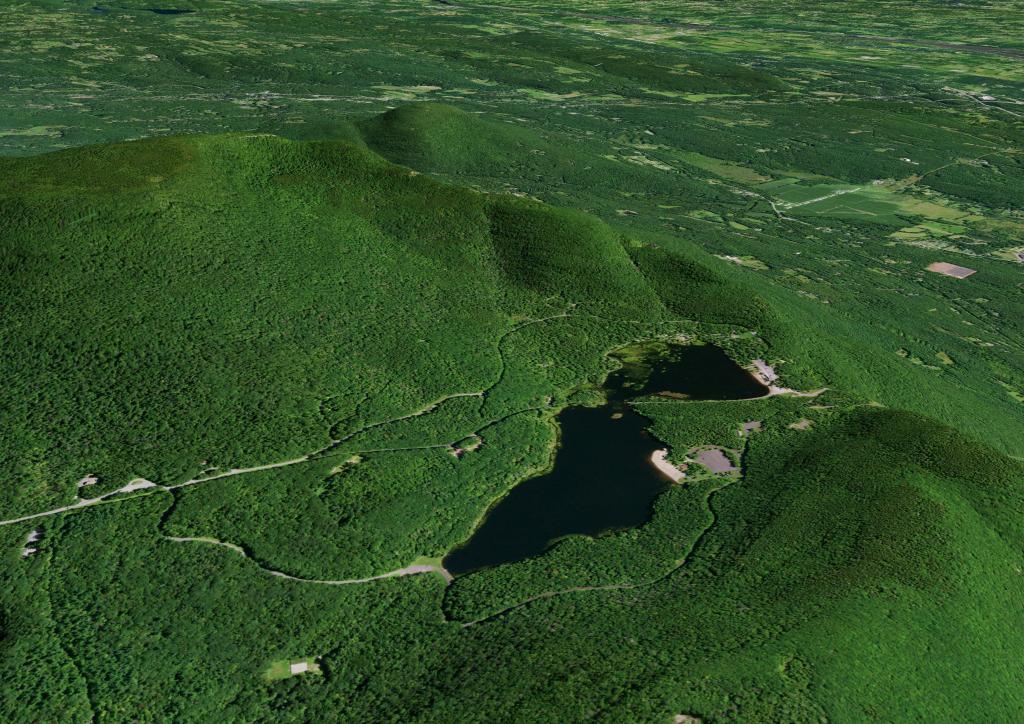
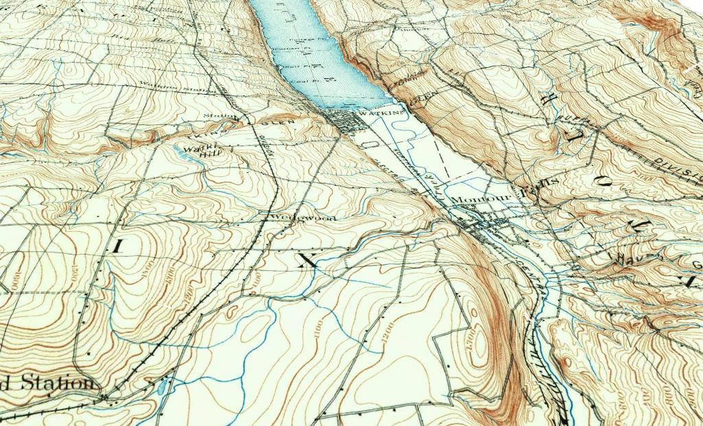
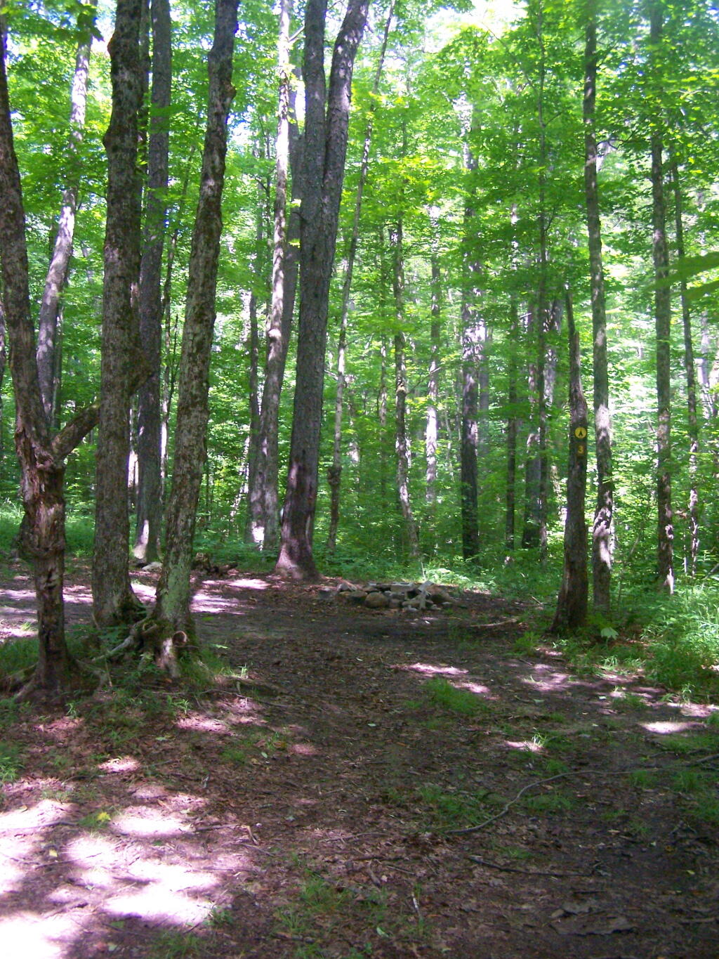
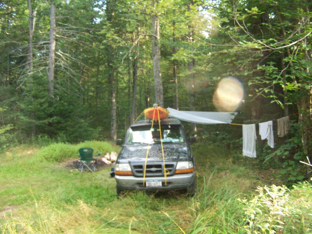
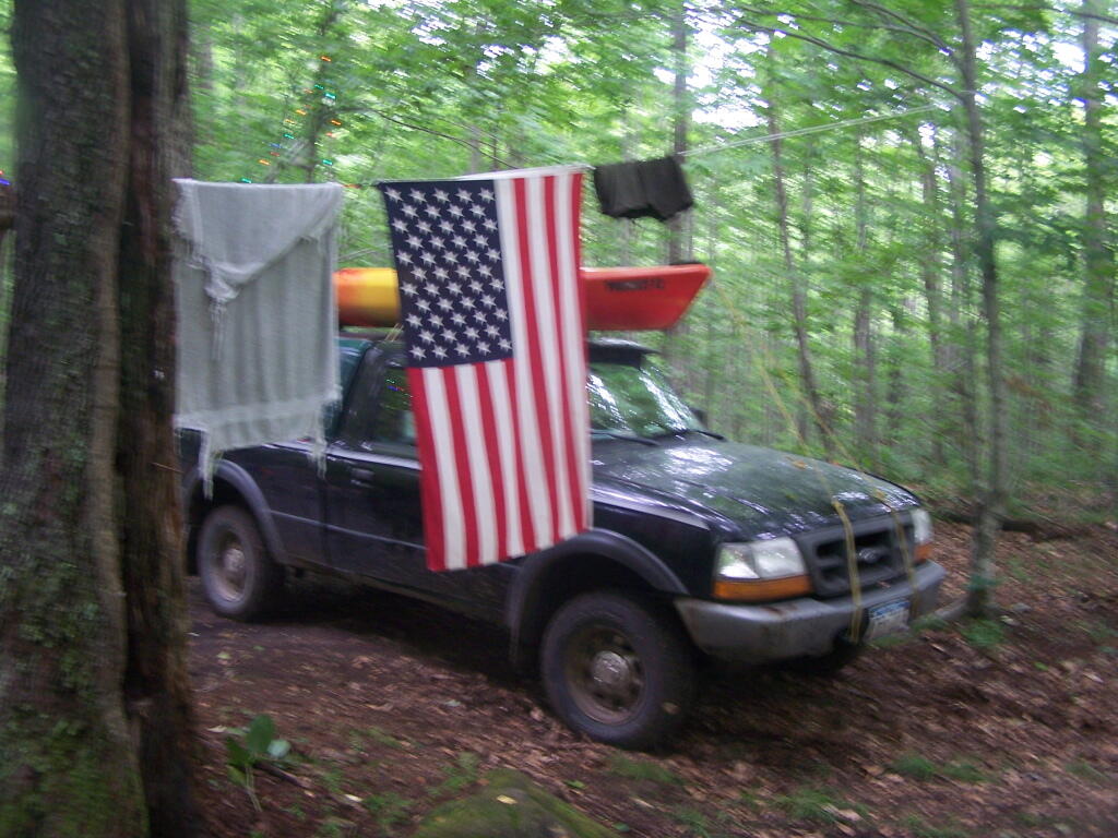
This past year, I got up to nine different Adirondack Wild Forests as part of my explorations of the Adirondack Park. Did a lot of hiking, kayaking, and camping. The map below shows the Adirondack Park’s various units.

Change in Price Since March 2020

I camped in Aldrich Pond (1 night), Black River (4), Debar Mountain (3), Ferris Lake (5), Independence River (2), Moose River Plains (3), Taylor Pond (2), Vandwhacker Mountain (1), and Wilcox Lake (4). My preference for certain Wild Forests over others, is not just based on scenic beauty or activities to do, as much as closeness to Albany and compatability with weekend plans.

I saw quite a bit of Adirondack Park for sure.

Aldrich Pond (1 night)

Camped one night on Streeter Lake Road in Aldrich Pond Wild Forest near the hamlet of Oswagatchie. Paddled part of Little River and Streeter Lake.

 Field

Campsite 3 on Streeter Lake Road

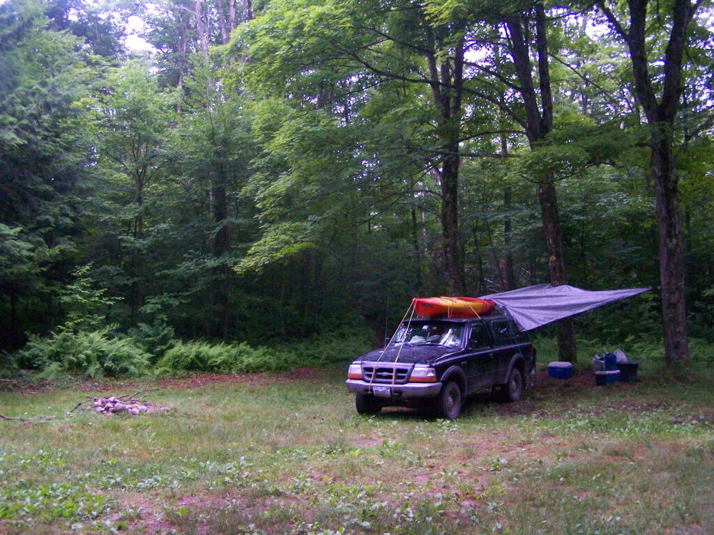
Black River (4 nights)

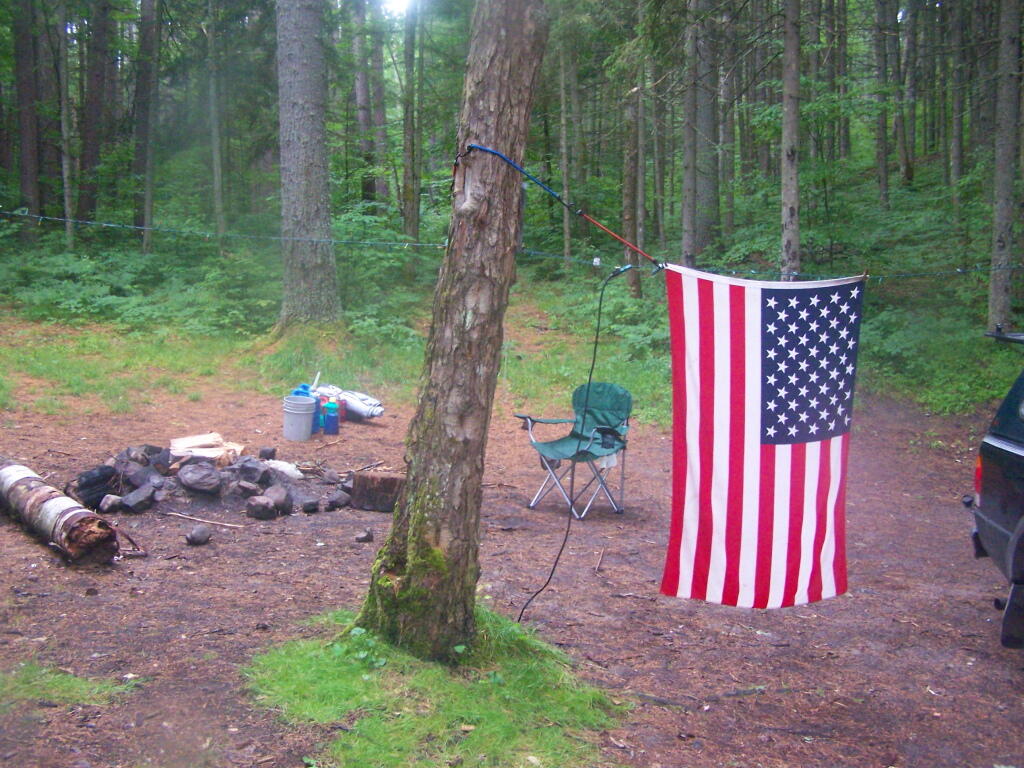
Camped two nights at Wolf Lake Landing Road. Paddled around Woodhull Lake, hiked over to Remsen Falls.

Adirondack Lakes

Roadside Camping at Site 5

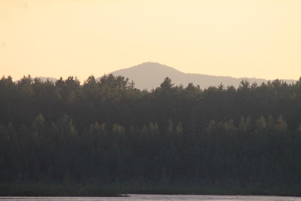
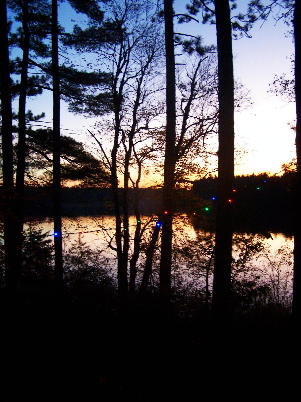
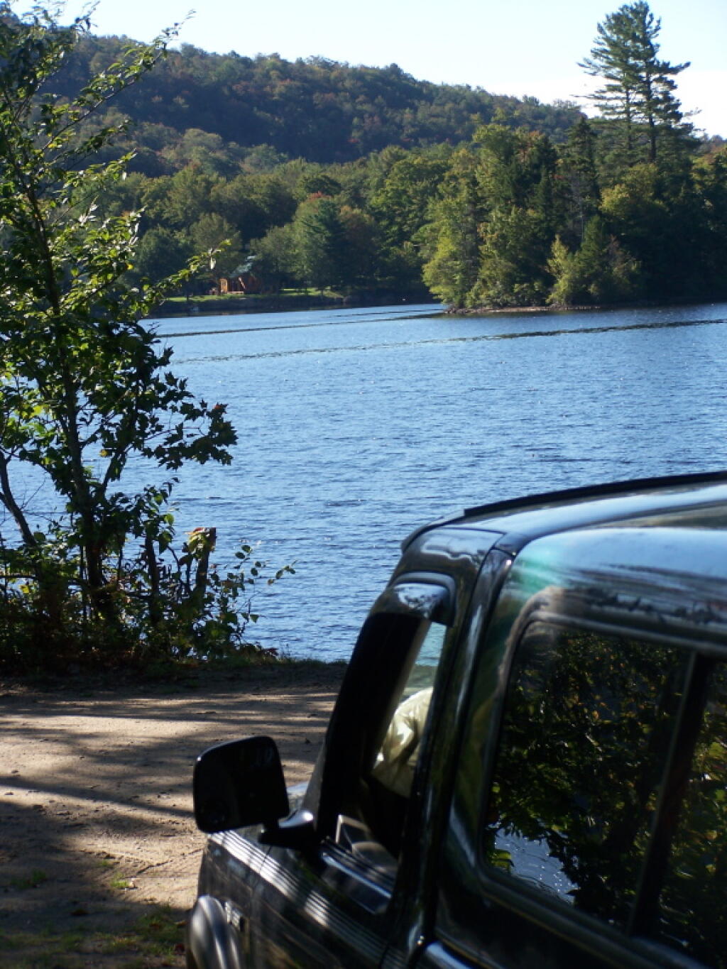
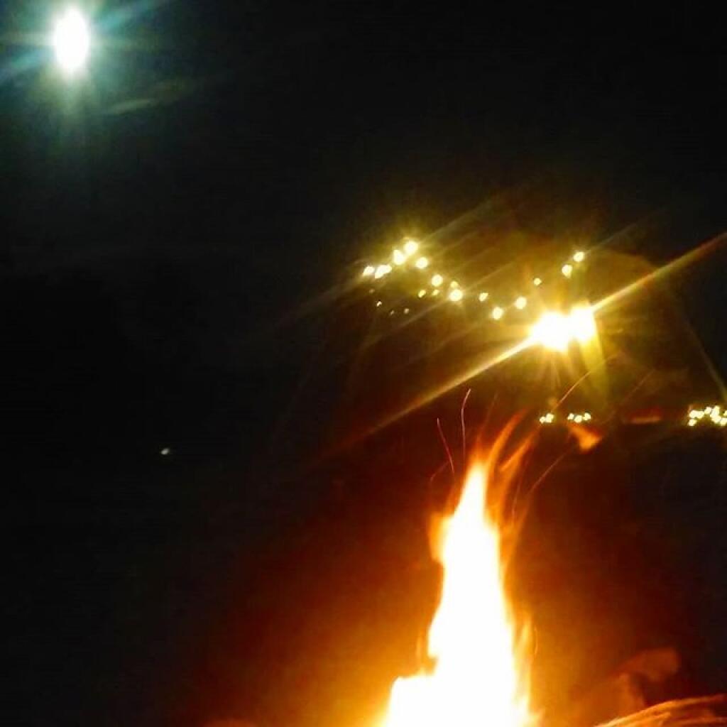
Camped two nights at North Lake. Sat down by the lake, enjoyed the moonlight. Explored Atwell and part of South Lake.

Total Greenhouse Gas Equalivent, by Country

View of Lake from Campsite

Debar Mountain (3 nights)

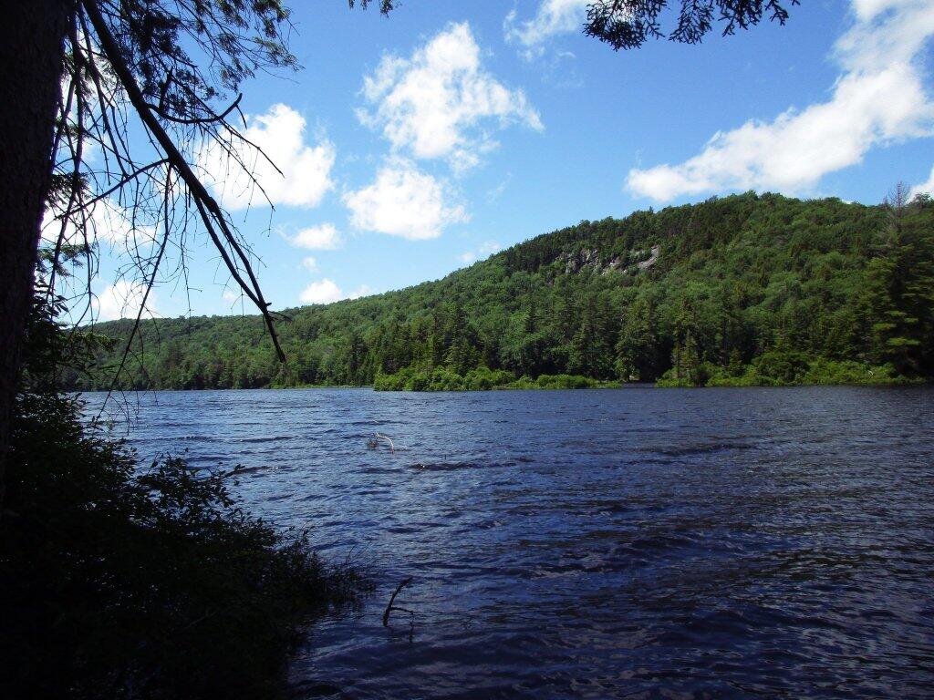
I camped for two nights at Mountain Pond near Paul Smiths, NY, while visiting the Saint Regis Canoe Area.

Damp

Then coming back from North Country, I decided to spend a night at Jones Pond, which is between Rainbow Lake and Paul Smiths.

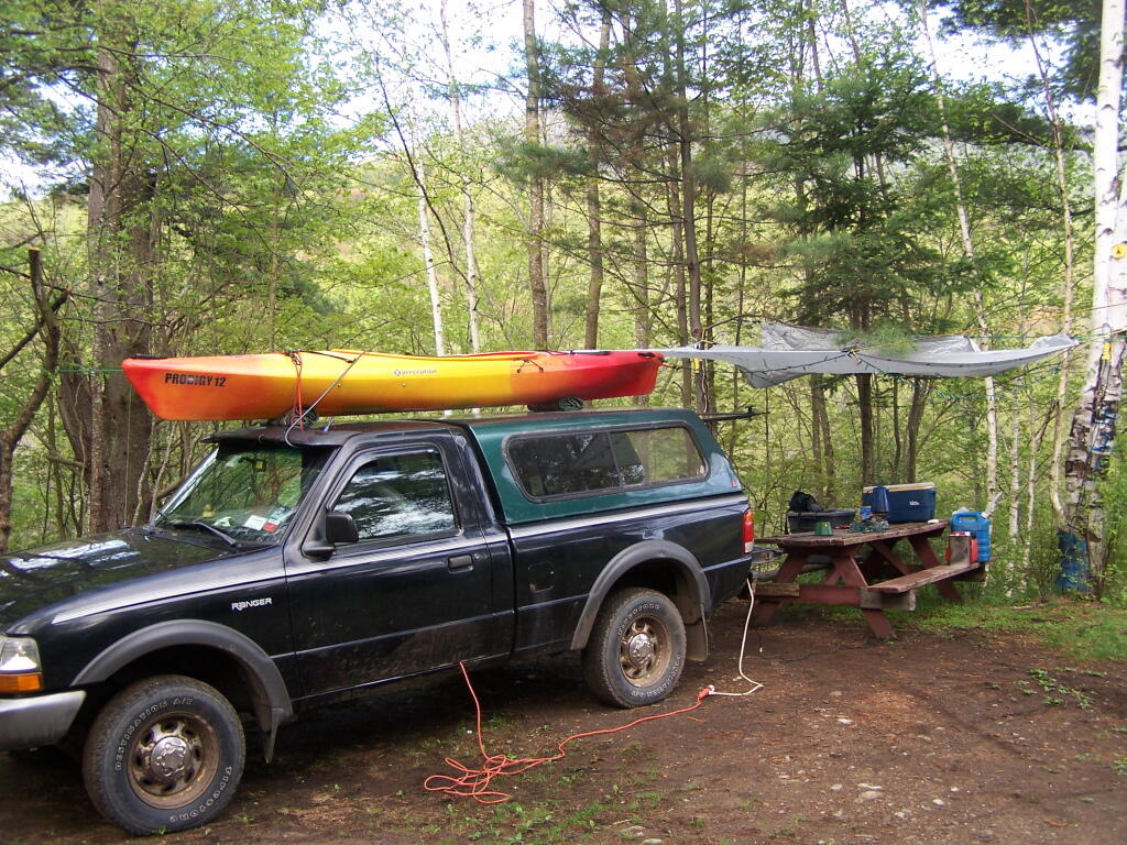
Ferris Lake (5 nights)

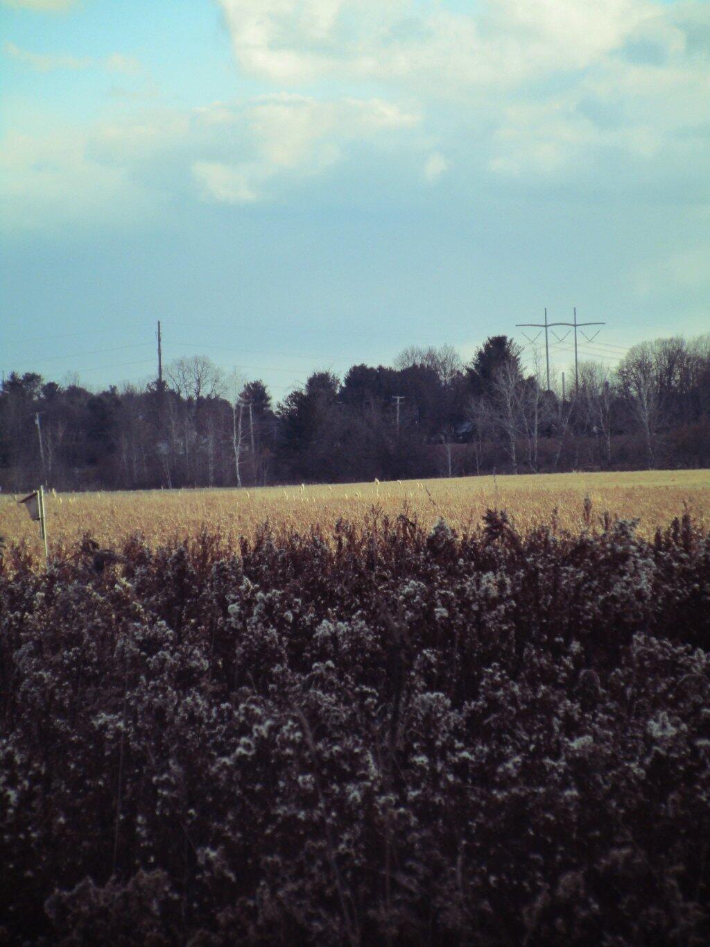
I did two weekend trips up to Ferris Lake Wild Forest. The first was during Memorial Day Weekend, which was pretty wet and rainy for most of the weekend. The second was during the mid-summer on a super oppressive, hot and humid day out. While I explored Edick Roadside Camping, and also Good Luck Lake, both times I roadside camped on Piseco-Powley Road, three nights at PR 9, one night at PR 4, and one night at 11.

Renters vs Population Density - NY Census Tracts

Strawberry Moon

 Cascade Lake

Gwen Wright (D) vs. Steven F. McLaughlin (R) Rensselaer County Executive (2021)

Independence River (2 nights)

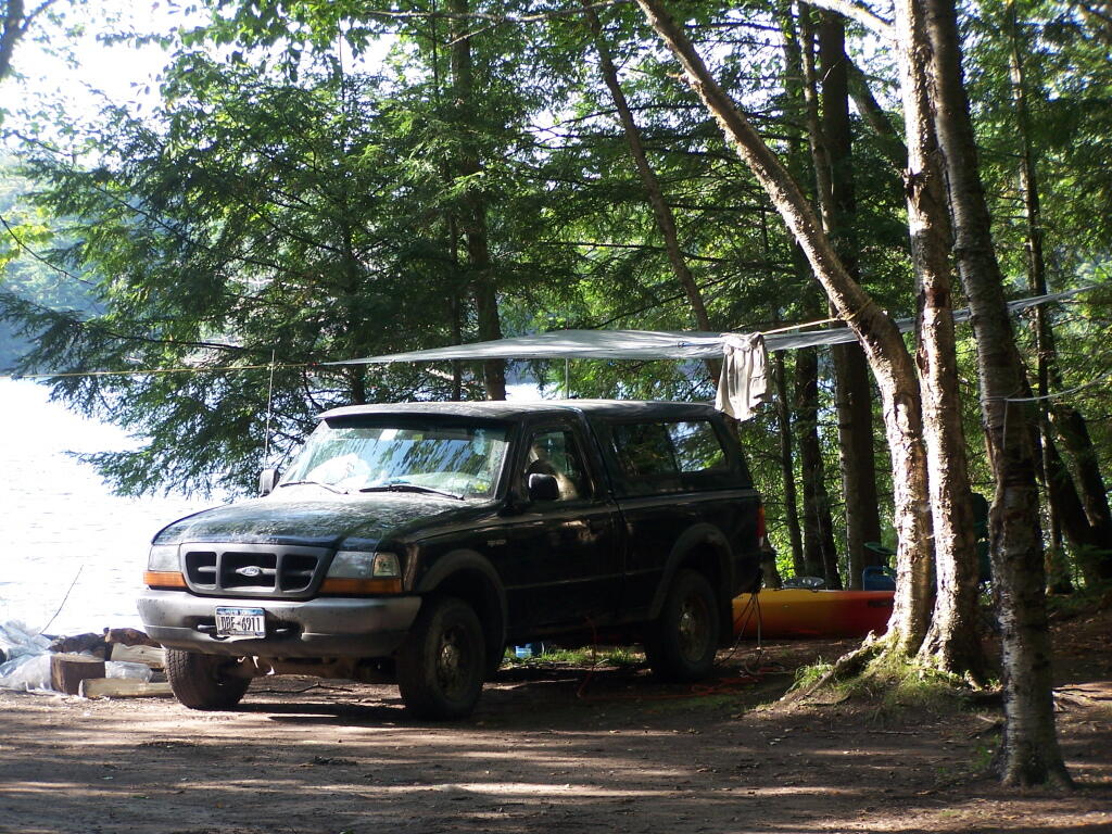
Camped two nights at Independence River Wild Forest on Smith Road, at field Campsite 1. There are ten campsites on this road, including one with an outhouse. Several of them are located in old logging load pads, that are now mowed as fields for camping. Nothing particularly fancy here.

Rainy Morning

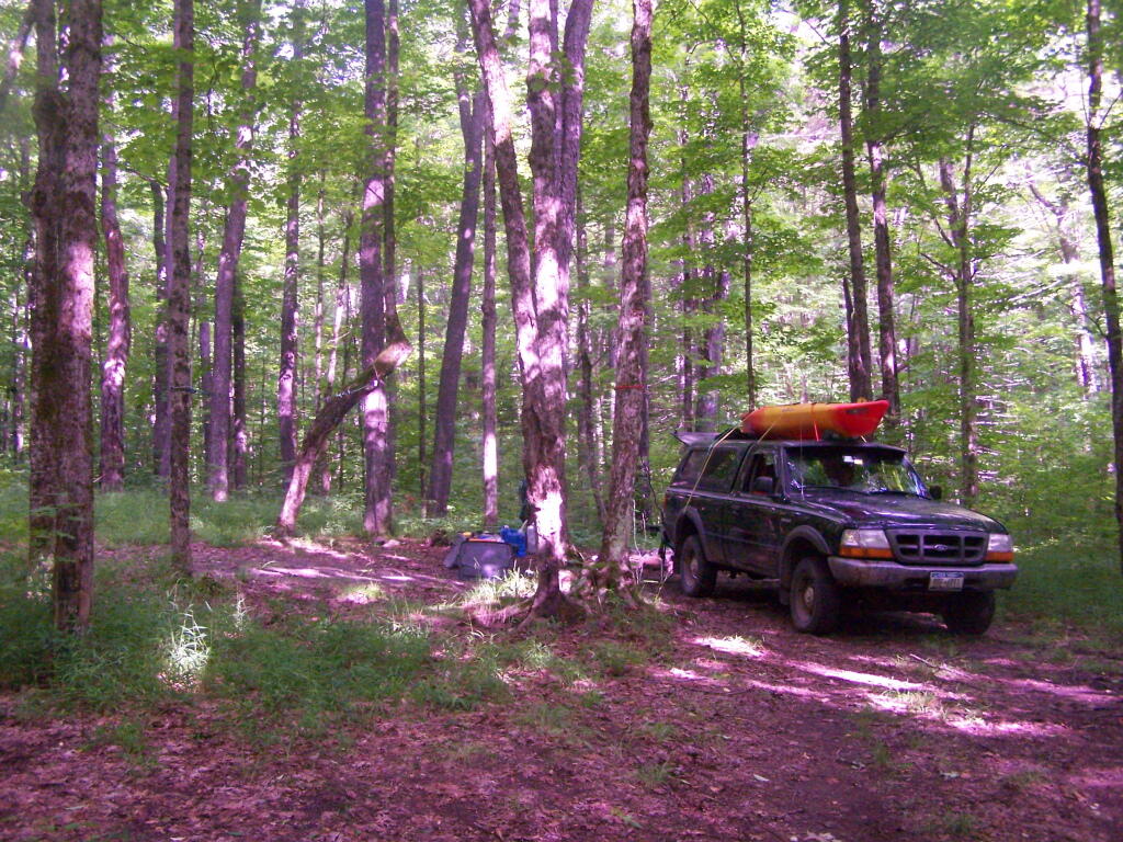
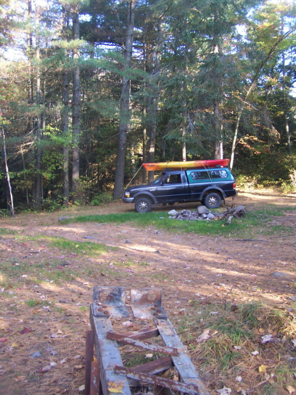
Moose River Plains (3 nights)

Planned to spend a week at Moose River Plains, brakes failed on third day up there. Still got three days of fall camping in along Cedar River – Limekiln Lake Road. Camped one night at Campsite 24, and two at Campsite 57 this year.

 Almost To Bus Stop

 Summer Evening

Greene County, NY - Change in Grasslands and Pasture, 2001 to 2021

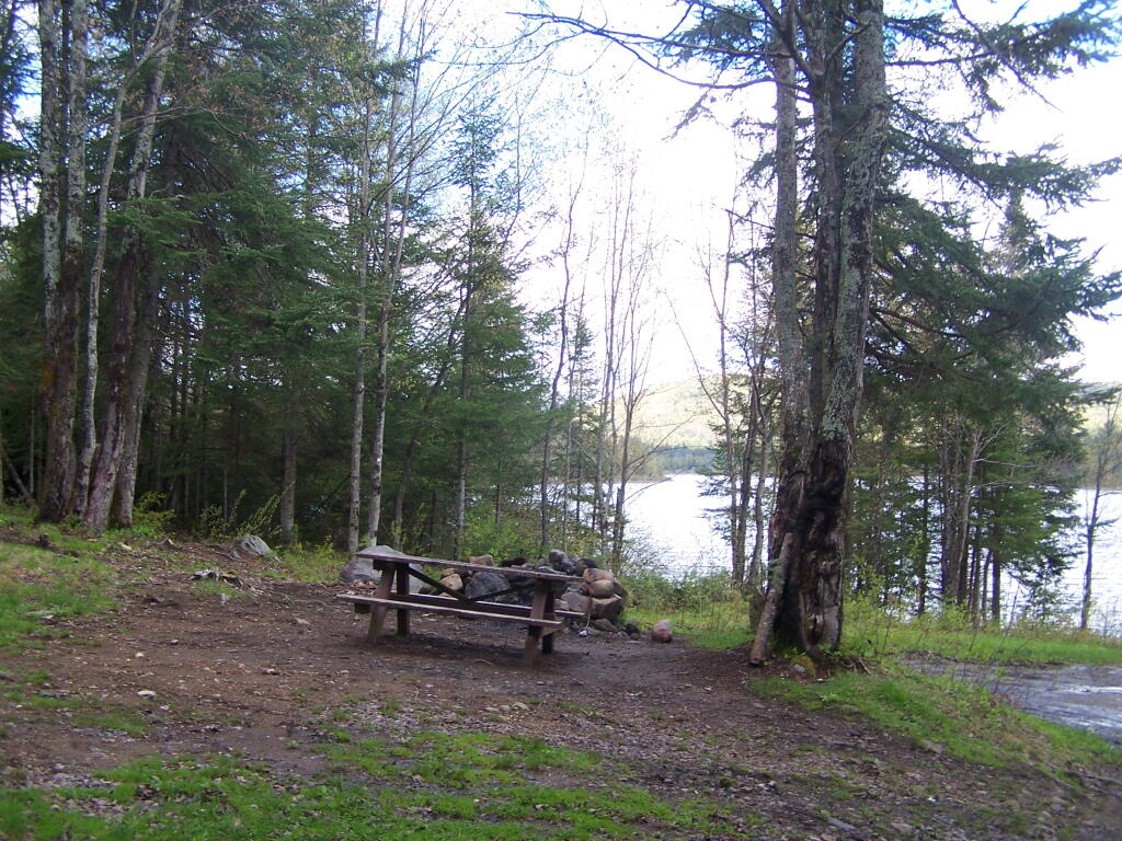
Taylor Pond (2 nights)

Camped up at Union Falls for two nights in the fall, while hiking and exploring several locations in Clinton County and eastern portion of the North Country.

All Packed Up at Union Falls Campsite

Vandwhacker Mountain (1 nights)

Camped one night at Cheney Pond at the Vanderwhacker Wild Forest.

Abortion Providers Operating by State, 2017

Road Campsite at Cheney Pond

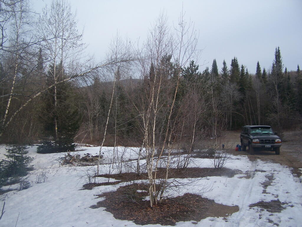
Wilcox Lake (4 nights)

Camped three nights up off of NY 8 — one at an old Gravel Pit along the East Sacandaga River in April when the snow was still there, two nights at Fox Lair Campsite, and one night at Hope Falls Road, which is off of NY 30, near Northville.

Oil Exports

North-South Lake Campground

 Lookout State Forest

 Hammond Pond Wild Forest - Green Hill Parcel

Campsite I Stayed At

Camping Back at Fox Lair

Gulls on the breakwater