Search Results for: map public lands of tug hill plateau 2

WINONA STATE FOREST UMP

Senior Forester Ed Sykes
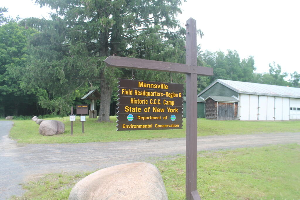
NYS Department of Environmental Conservation, Region 6
7327 State Route 812
Lowville, NY 13367

July 15, 2013

Dear Mr. Sykes:

Β RE: WINONA STATE FOREST UMP

The Draft Winona State Forest UMP appears to be incorrect as it relates to the Facilities Inventory, subsection β€œDesignated Campsites” on page 24:

There are three designated campsites on Winona, and their locations are as follows:

Β β€’ Co. Rte. 90, 0.1 mile east of the intersection of Brown and Co Rt. 90;

β€’ On Bargy Rd., 0.3 mile south of CCC Camp;

β€’ On Tucker Rd., 0.4 mile east of the intersection of Bargy and Tucker Road

Based on my casual inspection of these locations, I was unable to locate these campsites. It is possible that these sites have not been mowed, reverted to woods, and/or do not have the required β€œCamp Here” disks pursuant to NYCRR 6 Part 190.

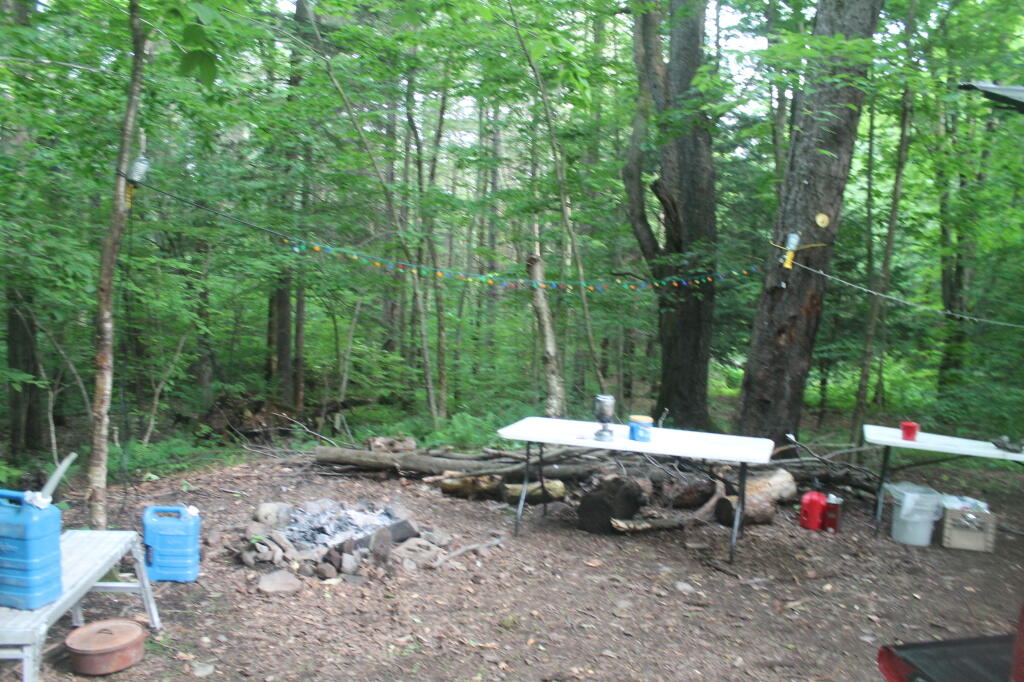
There is however, one relatively well-used campsite near GPS location N 43.69528 W 75.97681. This site is located roughly 300 feet south of the intersection of Bargy Road and Dog Leg Trail. It is indicated by a β€œCamp Here” disk, and is consists of a stone fire ring, and a hardened-with-gravel camping pad.

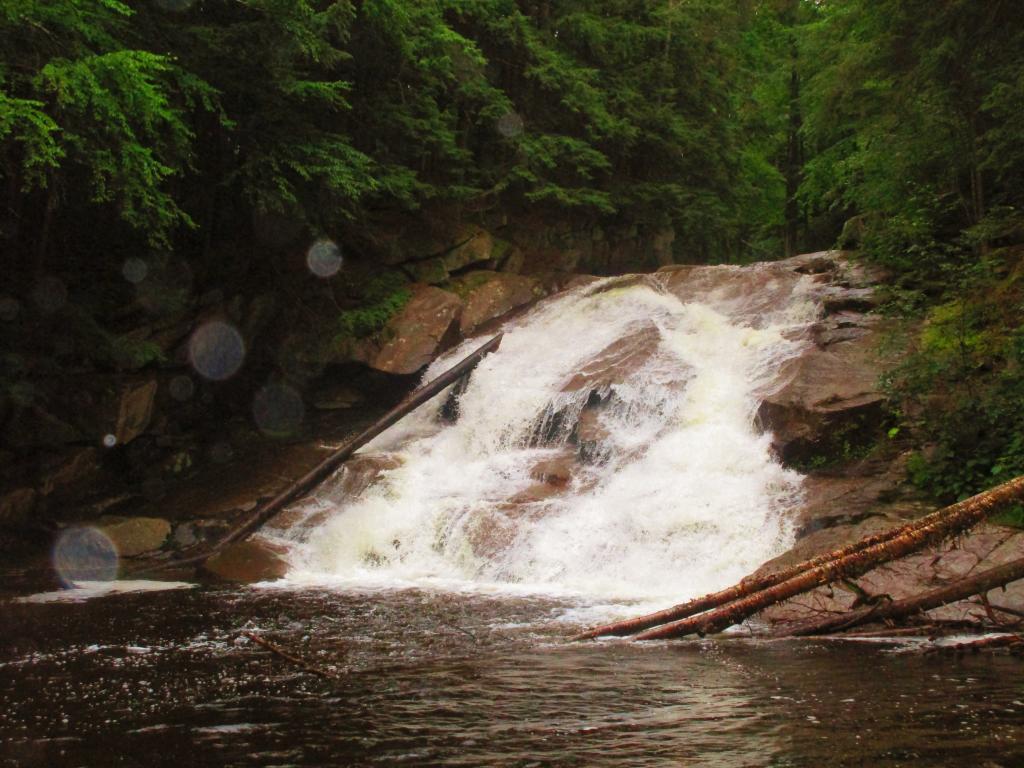
Many traveling New Yorkers enjoy having drive-to, β€œroad-side campsites”, that provide minimal facilitiesΒ  but allow one to camp there with a pickup truck with a camper top, or a small-tow along camper, such a pop-up or tear-drop camper. Likewise, people with families appreciate being able to pull into a campsite, set up a tent, without having to carry it back to the woods. In the western Tug Hill Plateau, this is the only location that offers this essentially primitive-style camping.

The DEC should designate five (5) roadside campsites along the various roads in Winona State Forest.

The Next Morning

Β These campsites should follow the design of roadside campsites in the Adirondack Park, e.g.

all campsites should be at least a quarter mile apart (at least out of eye-shot/ear-shot each other),

  • be properly designated with β€œCamp Here” disks,
  • set back at least 150 ft from water, trails, and other facilities; and
  • consist of a gravel-hardened pull off with shading from the road, and a small stone-fire ring.
  • No other facilities should be a provided, except for outhouses, as decided based on usage.

Standard policies under NYCRR 6 Part 190, such as requiring a camping permit for stays longer then 3 nights, should apply.

DEC operations staff should be instructed to occasionally maintain the campsites, such as mowing and litter removal, similar to what is currently done along roadsides and in parking/assembly areas. DEC Forest Rangers and law enforcement should also occasionally patrol the area, especially on Friday evenings in May and June, to discourage littering and abuse by young adults during the end of school year.

Finally, the DEC Forester should GPS the location of such campsites. and provide such data to the centralized DEC Maintenance Management System (MMS) in Albany, and provide campsite locations on maps and informational kiosks.

Winona Forest CCC Camp

Many people choose roadside camping over state and private campgrounds, or primitive camping the backcountry on undesigned and undeveloped sites. Many like the privacy of roadside camping, the social nature of it, the ability to listen to music without disturbing others in the close-proximity conditions that exist in state campgrounds. By expanding roadside camping opportunities on this state land, it will expand the use of these lands in summer months.

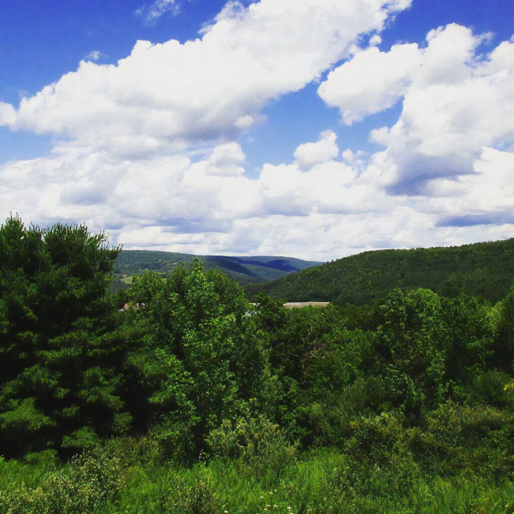
Winona State Forest offers a lot to the visitor, including miles of hiking, mountain biking, and horse trails. The miles of roads provide scenic driving, and access to the interior forest for hunting and nature observation. The forest is a short drive to Salmon River Reservoir and Lakeview Marsh WMA which offer fishing, boating, and other opportunities. Expanding camping opportunities will enhance the public’s use of this area.

Thank you for reviewing these comments. I look forward to reviewing the revised draft Winona UMP.

Sincerely,

Andy Arthur

Private Forestland Not Farms

When I was younger I used to think of the Tug Hill Plateau as a vast agricultural region. It really isn’t. There are farms in Black River Valley, but not so much up on the Plateau, especially as you gain elevation.

Major Land Resource Regions

The signs going into Lewis County say “Adirondacks-Black River-Tug Hill”, and except for that relatively narrow band running along the Black River, Lewis County doesn’t have a lot of farming — much likes the rest of Tug Hill Plateau.

Lewis County: Tug Hill. Black River. Adirondacks.

An elevation map of NY shows that most of the Tug Hill Plateau is between 1,000-2,000 feet elevation, but that’s high enough in NY to make agriculture unprofitable in most of state due to short growing season.

Hot evening walking along the Catharine Creek Marsh

The Black River Valley, with it’s fertile soils notched between the Adirondack Foothills and Tug Hill Plateau make Lewis County a major agricultural producer, with 262 dairy farms, including some of the largest in state. The area around Lowville is excellent agriculturally, until you start back up in to the hills on both sides with their short growing seasons. Dairy farming makes up 20% of the land use in Lewis County (per 2010 USDA NASS), but almost all of that occurs in Black River Valley or slightly up the slopes of Tug Hill Plateau.

 Farming In Black River Valley: Narrow Band of Farms Between Tug Hill and Adirondack Foothills

In many ways the Tug Hill Plateau is a fascinating region of the state. Unlike the Adirondack Park, only a relatively small portion of it is publically owned. About 2/3rds of it is private timber lands, with rest being public lands. It lacks any major cities or population centers, much of it is roadless, or where roads exist, they primarily service hunting camps or timberlands.

Rainy Afternoon at Lower Tenant Falls

The remoteness of the Tug Hill Plateau remains a real fascination for me.

Maple Ridge Windfarm

Winona Recreation Area

The Winona Recreation Area, aka the Winona and Jefferson State Forests has a series of informal campsites throughout it’s miles and truck trails, that are also used by ATVs and snowmobiles based on the time of the year. Known for the large amount of snow the area gets, it’s one of the most vast state parcels in the Tug Hill Plateau.

In the past I’ve camped on an undesignated site with a firepit on Bargby Road. There are other sites around, but I don’t know the area that well, and the sites ar not listed online. You might consider contacting the local Forest Ranger about getting a permit and some other ideas.

Be careful driving around here, as many of the truck trails are very rough and muddy, and you will be sharing them with ATVs in the summer season. They are real fun if you want to get some mud on your pickup truck. It’s by far one of the best places to find rough and muddy state truck trails in NY State, and tons of snow in the winter. I camped there in April 2004 (no snow), but it was cold. β€” Andy

“Over the past years, many different groups have enjoyed the use of these trails, but this has made for some difficulty in how to designate which trails would be used and for what purpose. The Western Edge Recreational Association was developed around 1995 to bring together all the users: skiers, snowmobilers, dog sledders, horse owners, hunters, bikers, and orienteering people.”

“With the melding of ideas, resources and manpower, Winona State Forest has become one of New York State’s best venues for recreation, and at the same time, provides valuable timber resources.”

“In 2005, DEC began developing a unit management plan (UMP) for Winona State Forest. A UMP must be completed before significant new recreational facilities, such as trails, camping sites, and parking areas can be constructed. The plans involve an extensive analysis of the natural features of an area and the ability of the land to accommodate public use. The DEC has primary responsibility for developing management plans for the State-owned lands. Draft plans are widely distributed for public comment and review prior to being finalized by DEC.”

β€” NYSDEC Winona State Forest.

“The Winona Forest Recreation Association (WFRA) maintains approximately 70 miles of trails in the Winona Forest and Jefferson County Forest Preserve. Both are located in the Tug Hill region of New York State. WFRA, which began as the Tug Hill Ski Club, has reorganized as the Winona Forest Recreation Association in order to include all user groups of the forest. WFRA membership consists of skiers, snowmobilers, atv riders, equestrians, mushers,snowshoers, bikers, hikers and many other outdoor sports enthusiasts. We’re not just an ordinary club!

“Winona Forest is one of the snowiest places east of the Rockies with an average snow fall of 250 inches per year! In winter, the prevailing westerly winds move cold winter air over the warm water of Lake Ontario producing massive lake effect snow falls on the Winona Forest in the Tug Hill area.”

β€” Winona Forest Recreation Association.

Barby Road 2
Tucker Road 1

Summer afternoon