
Proposed North Country Trail Through Moose River Plains
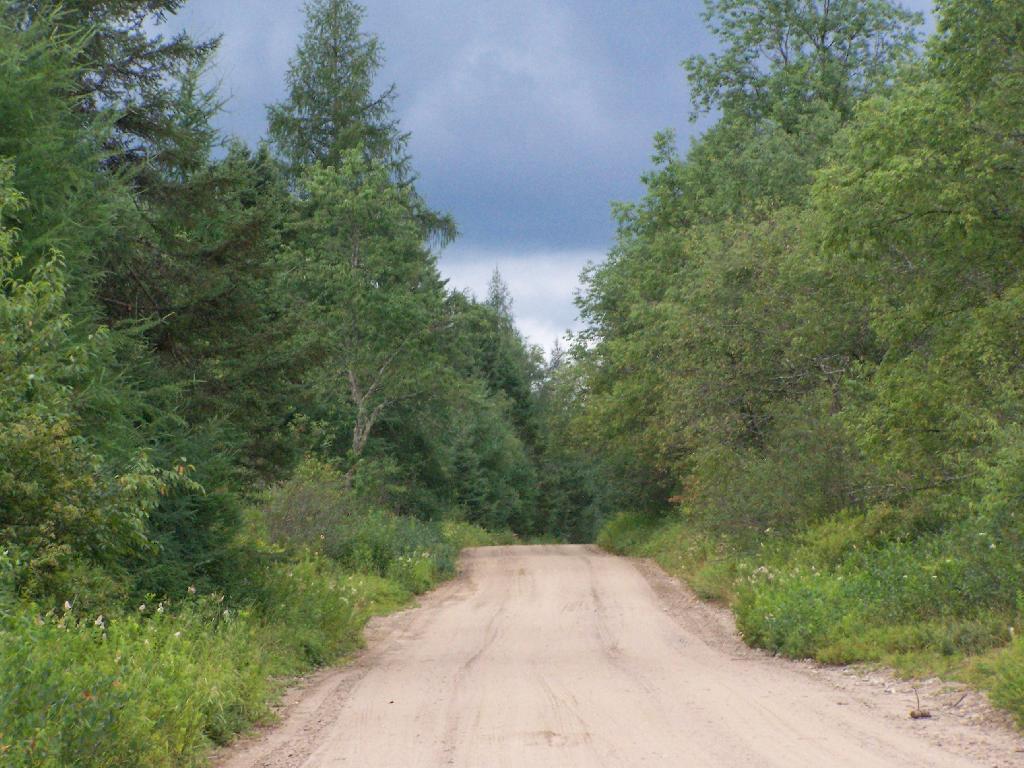
The revised North Country Trail will hopefully revitalize the largely abandoned trail to Sly Pond and provide really nice views off of Little Moose Mountain, per @CNYHiking.
The revised North Country Trail will hopefully revitalize the largely abandoned trail to Sly Pond and provide really nice views off of Little Moose Mountain, per @CNYHiking.

The text of today’s fodder is based on the Catskill Park State Lands Master Plan, as revised in 2008. Maps were rendered by myself, using Quantum GIS and DEC Lands and Forests data.
(Formerly Big Indian – Beaverkill Range Wilderness Area)
This wilderness is located in the Towns of Hardenburgh, Denning and Shandaken in Ulster County. It lies generally west of Oliverea and the Frost Valley Road, south of Belleayre Ski Center, east of Seager and Hardenburgh and north of Willowemoc and Claryville. The area ranges in width from 1 to 5 miles, is about 19 miles long and contains approximately 33,500 acres of land. Elevations range from 1,500 feet in McKenley Hollow to 3,840 feet where the state boundary crosses Doubletop Mountain. The mountains in the northeastern portion of the area are quite rugged, while those to the south and west are more characteristic of high hills. Water from the area flows into three New York City water supply reservoirs and the Delaware River Basin. Nine mountains or ridges with elevations of over 3000 feet make up the area.
Peaks
Doubletop* 3,860′
Haynes 3,420′
Big Indian 3,700′
Spruce 3,380′
Fir 3,620′
Eagle 3,600′
Hemlock 3,240′
Balsam* 3,600′
Beaver Kill Range 3,377′
* Maximum elevations given are not necessarily located within the Wilderness Area.
The forest cover is predominantly hardwood mixtures in various associations. Spruce and fir, while present at some of the higher elevations, are less noticeable here than in other Catskill wilderness areas.
Interior facilities consisting of foot trails and lean-tos are generally considered adequate.
Area statistics:
Approximate Area 33,500 Acres
Roads (non conforming) 1.4 Miles
Foot Trails 29.4 Miles
Lean-tos 6
Designated Campsites 5
Parking Lots 5
Public Use (visitors/year) 4,500
Exterior Boundary Line 67 Miles
Minimum Elevation 1,500′
Maximum Elevation 3,840′
Non-conforming uses:
Motor vehicle use of Black Bear Road from the wilderness boundary to Fall Brook Lean-to.
A UMP for this area was completed in June of 1993.
(Formerly West Kill – North Dome Wilderness, Ox Clove Wild Forest, and a portion of the former Hunter Mountain Wild Forest)
The unit generally lies within the following boundaries: New York State Route 42 on the west, the Shandakan Wild Forest and NYS Route 28 to the south, and NYS Route 214 on the east. The northern extent of the unit is County Route 6, and continues along a line 100′ parallel to, and south or east of, the edge of Spruceton trailhead parking area and the centerline of the Spruceton Truck Trail, to the junction of the Colonel’s Chair Trail. A corridor, 100 feet either side of the center line of the Spruceton Truck Trail, from the Colonel’s Chair Trail to the summit of Hunter Mountain, culminating in a circle 175′ in radius from the center of the chimney on the observer’s cabin shall be within the Rusk Mountain Wild Forest.
The unit contains approximately 27,000 acres of land, and inside it’s boundaries are found the named mountain peaks of Balsam, Sherrill, North Dome, West Kill, Sheridan, Hunter and Southwest Hunter. Hunter Mountain is the second highest peak in the Catskills at 4,040 feet, and portions of it’s summit, along with a fairly extensive area on the summits of West Kill, North Dome and Sherrill Mountains are within the Catskill High Peaks Bird Conservation Area, and are of special significance in that they provide habitat for high elevation spruce-fir inhabitants such as Bicknell’s Thrush and the Blackpoll Warbler, among others.
There are currently two lean-to’s on the unit, the Diamond Notch lean-to located just off the Diamond Notch Trail, and the Devil’s Acre Lean-to off of the Devil’s Path Trail. Waters from this unit drain into Schoharie and Esopus Creeks and then into the Schoharie and Ashokan Reservoirs, which are in the New York City water supply system.
Area statistics:
Approximate Area 27,000 Acres
Foot Trails 18 Miles
Lean-to’s 2
Parking Lots 5
Minimum Elevation 920′ Maximum Elevation 4,040′
(Formerly Plateau Mountain – Indian Head Mountain Wilderness Area)
This wilderness is located in the Town of Hunter, Greene County and the Towns of Saugerties and Woodstock, Ulster County. It lies generally west of the east boundary of the Catskill Park, south of Platte Clove, east of Devil’s Tombstone Campground and north of Lake Hill and Shady. The area ranges from 1 ½ miles to 3 ½ miles in width, is eight miles long and contains approximately 16,800 acres.
Elevations range from 900 to 3840 feet and the four major mountains in the area are visible against the skyline from all directions. Echo Lake, the only natural lake in a Catskill wilderness, is located in the east-central portion of the area. Water from this eastern section flows into the Kingston and Saugerties water supply reservoirs, while drainage from the central and western section flows into two New York City water supply reservoirs. Six named mountain peaks over 3,000 feet in elevation dominate the area.
Peaks
Plateau 3,840′
Indian Head 3,573′
Sugarloaf 3,800′
Olderbark 3,440′
Twin 3,640′
Plattekill 3,100′
The forest cover varies from extensive oak stands on the eastern most slopes to mature spruce-fir on top of Plateau Mountain. An excellent mature stand of northern hardwood and hemlock occupies the slopes south of the Saw Kill.
Echo Lake, unique to the Catskill wilderness, is very popular for undeveloped camping. A small number of scattered primitive tent sites with fire rings have been established and public camping is limited to their capacities.
Public access is provided by several foot trails entering the area, including the old road from Meads to Overlook Mountain.
Area statistics:
Approximate Area 16,800 Acres
Roads 6.6 Miles
Foot Trails 24.1 Miles
Cross-country Ski Trails 5.6
Lean-tos 3
Designated Campsites 10
Parking Lots 1
Public Use (visitors/year) 8,000
Length of Boundary 33 Miles
Minimum Elevation 900′
Maximum Elevation 3,840′
A UMP for this area was completed in October of 1992.
(Formerly Slide Mountain – Panther Mountain Wilderness Area)
This wilderness is located in the towns of Shandaken, Denning and Olive in Ulster County. It lies generally south of NYS Route 28, west of West Shokan, north of the Peekamoose Road (County Route 42) and east of the Frost Valley Road (County Route 47). It surrounds the Woodland Valley Campground and abuts the Sundown Wild Forest to its south. This area ranges from 1 to 10 miles in width, is about 13 miles long, and contains approximately 47,500 acres of land. The wilderness boundary is 118 miles long.
The terrain is rugged and steep with elevations ranging from 1,100 to 4,180 feet. All water draining from the area eventually reaches three New York City water supply reservoirs by way of the East and West Branches of the Neversink River, Rondout Creek and Esopus Creek. Twelve named mountain peaks with elevations over 3000 feet exist in the area. Of these, six may still be considered trail-less to the extent that they have no marked and maintained trails.
Peaks with Trails
Slide 4,180′
Peekamoose 3,843′
Cornell 3,860′
Wittenberg 3,780′
Table 3,847′
Panther 3,720′
Trail-less Peaks
Lone 3,721′
Rocky 3,508′
Friday 3,694′
Van Wyck 3,206′
Wildcat 3,340′
Balsam Cap 3,623′
The forest cover consists of nearly every possible mixture and association of hardwood and softwood trees native to the mountain region. While hardwoods predominate higher elevations are often covered with red spruce and balsam fir.
This area receives more public use than any other Catskill wilderness. Superb vistas are found on Slide, Wittenberg, Cornell, Giant Ledge and Panther Mountains. Access via foot trails is available from the north, south, east and west.
Area statistics:
Approximate Area 47,500 Acres
Foot Trails 35.3 Miles
Lean-tos 3
Parking Lots 10
Designated Campsites 29
Public Use (visitors/year) 23,000
Length of Boundary 118 Miles
Minimum Elevation 1,100′
Maximum Elevation 4,180′
A UMP for this area was completed in March of 1987 and revised in October of 1998.
(Formerly Blackhead Range, and North Mountain Wild Forests, and portions of Windham High Peak, and Black Dome Valley Wild Forests)
The combination of these Wild Forest areas creates the Windham – Blackhead Range Wilderness Area, which lies within the Greene County towns of Cairo, Hunter, Jewett, Windham and Durham. The classification of these former Wild Forest areas was changed to Wilderness because their combined area comprises approximately 17,100 acres and contains rugged, high elevation land that clearly exhibits wilderness character. This newly classified area has seven named mountain peaks over 3,000 feet in elevation.
They are:
Peaks Black Dome 3,980′
Windham High Pk 3,520′
Blackhead 3,940′
Stoppel Point 3,420′
Thomas Cole 3,940′
Burnt Knob 3,180′
Acra Point 3,100′
The unit also contains six unnamed peaks over 3,000 feet, which range from 3,040 feet to 3,540 feet in elevation. Of the five highest peaks in the Catskills, three – Black Dome, Thomas Cole and Blackhead – are in this unit. This concentration of 13 peaks over 3,000 feet, within an area of approximately 28 square miles, with limited access, structures and improvements (30 miles of maintained foot trails and two lean-to’s) make the Windham – Blackhead Range Unit an area with excellent wilderness character.
A fairly extensive area of old growth forest can be found on this unit at the higher elevations, along the ridge stretching from an area west of Thomas Cole Mountain to Blackhead Mountain, and on Windham High Peak. The presence of this old growth forest, with its distinctive flora and fauna, add to the wilderness character of the unit. The unit also includes the headwaters of the Batavia Kill and, to the south over the Blackhead Range, the headwaters of the East Kill. Both of these rivers flow into Schoharie Creek, and are an integral part of the New York City Watershed system.
The western boundary of this unit shall be the east side of the Elm Ridge Trail, Black Dome Trail leaving it within the Elm Ridge Wild Forest, continuing north along the drainage to the Catskill Park boundary. The southern boundary of the unit shall be the Escarpment Trail approximately one half mile south of Stoppel Point to a point on the Escarpment Trail where it comes closest to the eastern Forest Preserve boundary. Both North Point and Stoppel Point will be within the Wilderness area. Lands to the south of the south edge of the Escarpment Trail in this area, will be in the Kaaterskill Wild Forest.
Because the Windham – Blackhead Range Wilderness surrounds the smaller Colgate Lake Wild Forest Unit, and because they are linked together by public use, the Unit Management Plans for the two units shall be contained in one document.
Area statistics:
Approximate Area 18,0000 Acres
Foot Trails 30 Miles
Lean-tos 2
Parking Lots 1
Minimum Elevation 980′
Maximum Elevation 3,980′
S 212. Changing location of highways over certain lands owned and occupied by the state. 1. If a highway passes over or through lands wholly owned and occupied by the state, the location of such portion of such highway as passes through such lands may be altered and changed, or the same may be abandoned or the use thereof as a highway discontinued with the consent and approval of the state authority having jurisdiction or control over such lands by an order directing such change in location, abandonment or discontinuance. Such order shall contain a description of that portion of the highway the location of which has been changed, abandoned or discontinued, and a description of the new location thereof, if any, and shall be filed in the office of the state authority having control of such lands.
You can read the court case online.
SUPREME COURT OF NEW YORK, APPELLATE DIVISION, THIRD DEPARTMENT
November 21, 1990
IN THE MATTER OF JOHN J. KELLY, APPELLANT,
v.
THOMAS C. JORLING, AS COMMISSIONER OF THE DEPARTMENT OF ENVIRONMENTAL CONSERVATION, RESPONDENTAppeal from a judgment of the Supreme Court (Dominick J. Viscardi, J.), entered March 29, 1990 in Essex County in a proceeding pursuant to CPLR article 78, which dismissed a petition to prohibit respondent from directing closure of a portion of a road traversing State-owned land in Essex County.
Roemer & Featherstonhaugh (E. Guy Roemer of counsel), for appellant.
Robert Abrams, Attorney-General (Lawrence A. Rappoport of counsel), for respondent.
Kane, J. P. Casey, Mikoll, Yesawich, Jr., and Mercure, JJ., concur.
Author: Kane
OPINION OF THE COURT
Crane Pond Road is a gravel and dirt roadway located in the Town of Schroon, Essex County, of which the last 2 1/2 miles (hereinafter referred to as the road) lead through State-owned lands to the edge of Crane Pond. That part of the Adirondack Forest Preserve surrounding the road was reclassified “wilderness” in 1979 and, in 1987, the road itself was reclassified wilderness. In December 1989, respondent issued an order, pursuant to Highway Law ? 212, closing the road in accordance with the Adirondack State Land Master Plan. Guidelines within that plan called for the closing of roads which impermissibly allowed for the prohibited use by the public of motorized vehicles and equipment in wilderness areas. Petitioner, the Town Supervisor, subsequently commenced this CPLR article 78 proceeding to challenge respondent’s authority to close the road pursuant to Highway Law ? 212. Supreme Court found that respondent possessed such authority and dismissed the petition. This appeal followed.
We affirm. Petitioner apparently does not question respondent’s jurisdiction over the lands at issue or the State’s power to close the road, but instead challenges the specific statutory authority pursuant to which respondent ordered said closing. Highway Law Sec 212 was amended in 1988 to read as follows: “If a highway passes over or through lands wholly owned and occupied by the state, the location of such portion of such highway as passes through such lands may be altered and changed, or the same may be abandoned or the use thereof as a highway discontinued with the consent and approval of the state authority having jurisdiction or control over such lands by an order directing such change in location, abandonment or discontinuance. Such order shall contain a description of that portion of the highway the location of which has been changed, abandoned or discontinued, and a description of the new location thereof, if any, and shall be filed in the office of the state authority having control of such lands.” The 1988 amendment eliminated the need for the Commissioner of Transportation to issue the order of closure (see, L 1988, ch 161, ? 2), essentially leaving that decision to the State agency having appropriate jurisdiction (see, mem of State Dept of Transp, 1988 McKinney’s Session Laws of NY, at 1980-1981). Petitioner argues that the express language of the statute does not specifically authorize respondent to issue an order of closure and that no such power may properly be inferred therefrom. We disagree.
The primary consideration of statutory construction is legislative intent (see, Matter of Long v Adirondack Park Agency, 76 N.Y.2d 416, 422; Hudson City Savs. Inst. v Drazen, 153 A.D.2d 91, 93; see also, McKinney’s Cons Laws of NY, Book 1, Statutes ? 92), and courts are to avoid a literal construction when it leads to either a frustration of the over-all design of the Legislature (see, McKinney’s Cons Laws of NY, Book 1, Statutes ? 111) or an ineffectually absurd result (see, Matter of Long v Adirondack Park Agency, supra, at 421; see also, McKinney’s Cons Laws of NY, Book 1, Statutes ?? 144, 145). The legislative intent behind Highway Law ? 212 was to permit the State to close roads on State lands that endangered a State purpose (see, Matter of Altona Citizens Comm. v Hennessy, 77 A.D.2d 956, 957, lv denied 52 N.Y.2d 705). Adopting petitioner’s view, that respondent has the power to consent to and approve the closing of a roadway but does not possess the authority to order its closure, would eviscerate the statute and render it meaningless. In our view, the statute’s expressed intent provides an ample basis and rationale to conclude that “the state authority having jurisdiction or control over [state] lands” (Highway Law ? 212) is empowered to issue orders effectuating that authority. Accordingly, respondent’s order was a valid exercise of the statutory power given to the appropriate State agency pursuant to Highway Law ? 212.
Disposition
Judgment affirmed, without costs.
This is an excerpt of relvant portions of this adminstrative law decision.
2. Department’s Jurisdiction To Regulate Motor Vehicle Traffic Over Old Mountain Road
Department staff contends that the portion of Lot 146 owned by the State is part of the forest preserve. Accordingly, staff asserts jurisdiction to regulate motor vehicle traffic over that portion of Old Mountain Road that crosses State-owned land.
Department staff has established that the State-owned portion of Lot 146 is part of the forest preserve. It is undisputed that the State acquired the northern half and southeastern quarter of Lot 146 in 1875 (see Deed, Department Exh 48, at 556). The forest preserve was subsequently created by chapter 283 of the Laws of 1885, which provided in relevant part:
“All lands now owned or which may hereinafter be acquired by the state of New York within the counties of . . . Essex . . . shall constitute and be known as the forest preserve.”
(L 1885, ch 283, § 7). Chapter 283 is now codified at ECL 9- 0101(6). Thus, the State-owned portion of Lot 146 was and remains part of the forest preserve.
The existence of Old Mountain Road as a public right of way, however, pre-dates the State’s ownership of Lot 146. In the 1810 legislation appropriating money for the repair of Old Mountain Road, the State Legislature declared the road to be a “public highway” (L 1810, ch CLXXVII, § I). Because the Legislature did not provide for acquisition of the fees underlying the public highway, the public acquired merely an easement of passage, the fee title remaining in the landowners (see Bashaw v Clark, 267 AD2d 681, 684-685 [1999]). Thus, when the State acquired its portion of Lot 146 from the prior landowner, it did so subject to a public highway in the nature of an easement (see id.; see also Matter of Moncure v New York State Dept. of Envtl. Conservation, 218 AD2d 262, 267 [1996] [when the Department acquires forest preserve lands burdened by a leasehold, the Department takes such property subject to that leasehold]).
Department staff asserts that subsequent statutory law vests the Department with jurisdiction over public rights of way crossing forest preserve land. Accordingly, citing the Vehicle and Traffic Law, Department staff asserts that it has the power to “prohibit, restrict or regulate” motor vehicle traffic on any highway under its jurisdiction, including Old Mountain Road (see Vehicle and Traffic Law [“VTL”] § 1630). Pursuant to section 1630, Department staff claims it has the authority to close Old Mountain Road to motor vehicle traffic while allowing pedestrian and other forms of non-motorized traffic (see Adirondack Park State Land Master Plan [updated June 2001], DEC Exh 17, at 66 [indicated that Old Military Road has been closed]).
Respondent, on the other hand, argues that Old Mountain Road was and remains under the jurisdiction of the Towns of North Elba and Keene. 3 Thus, respondent contends that the exception under 6 NYCRR 196.1(b) for roads under the jurisdiction of a town highway department applies in this case (see 6 NYCRR 196.1[b][1]). Respondent contends that the exception for public rights of way over State land also applies (see 6 NYCRR 196.1[b][5]).4
VTL § 1630 does not itself vest in the Department jurisdiction over any particular highway. Whether a State agency has jurisdiction to regulate motor vehicle traffic pursuant to section 1630 depends upon whether that agency is otherwise authorized by law to regulate the use and management of the public highway at issue (see People v Noto, 92 Misc 2d 611, 612- 613 [1977]; see also Highway Law § 3)
On this motion, it cannot be determined, as a matter of law, which entity has jurisdiction to regulate the use and management of Old Mountain Road. When the New York State Legislature declared Old Mountain Road to be a public highway in 1810, it provided that after an initial four-year period of repair and improvement by a commissioner specially appointed for that purpose, the maintenance of the road would be assumed by the several towns through which it passed (see L 1810, ch CLXXVII, § III). Thus, at the time the State acquired Lot 146, subject to the public right of way, that right of way was apparently a town road under the jurisdiction of the Town of Keene and later the Town of North Elba (see Highway Law § 3[5]).5
Nothing in the submissions on this motion allow me to conclude, as a matter of law, that jurisdiction to regulate the use and management of Old Mountain Road has transferred from the Towns of North Elba and Keene to the Department. To the contrary, conflicting statutory provisions and circumstantial evidence require further legal argument and evidentiary proof before such a determination can be made.
For example, in support of Departmental jurisdiction to regulate traffic, Department staff notes that when the powers of the Conservation Department were revised in 1916, the “free use of roads” provision from the 1885 law limiting the forest commission’s power to prescribe rules and regulations for the forest preserve, was eliminated (see L 1916, ch 451). Staff further notes that the current ECL and Executive Law provisions authorizing the Department to make necessary rules and regulations for the protection of the forest preserve generally, and the Adirondack Park specifically, contain no limitation on regulating the free use of roads (see ECL 9-0105[3]; Executive Law § 816). However, although the Department has the power to regulate uses of the forest preserve generally, and the Adirondack Park specifically, it does not necessarily follow that such power includes the authority to regulate public rights of way under the jurisdiction of other State entities or municipalities.
In contrast, legislation adopted subsequent to 1916 suggests that the Department was not vested with the power to regulate use and maintenance of highways in the forest preserve. In 1924, the former State Commission of Highways was granted the power to maintain existing State and county highways in the forest preserve (see L 1924, ch 275). In 1937, town superintendents were expressly granted the right to occupy a right of way over State lands as may be required in the maintenance or reconstruction of town highways that cross those lands, subject to the approval of the Superintendent of Public Works and the Conservation Commissioner (see L 1937, ch 488). The grant of a right of way over State land to maintain and repair town highways strongly implies that towns retained jurisdiction over town highways in the forest preserve, notwithstanding the Department’s grant of authority to regulate the forest preserve generally (see Flacke v Town of Fine, 113 Misc 2d 56 [1982]).
Department staff also points out that Old Mountain Road has not appeared on either the Town of North Elba or the Town of Keene inventory of town highways. The evidence on this is equivocal, however. Old Mountain Road has not appeared on any inventory of State or county highways either (see L 1921, ch 18 [designating system of State and county highways]). On the other hand, Old Mountain Road did appear on a 1935 Highway Survey Commission map, although its status as a State, county or town highway is not indicated (see Department Exhs 51-53).
Respondent provides some circumstantial evidence suggesting that the Towns of North Elba and Keene retain the jurisdiction to regulate traffic on Old Mountain Road. For example, in 1971, the Town of North Elba adopted a resolution, which is still in effect, regulating the use of snowmobiles on Old Mountain Road (see N. Elba Ordinance [2-12-71], Affidavit of Norman Harlow, Highway Superintendent, Town of North Elba, Exh B). Respondent also provides letters dated June 7 and November 13, 1996, respectively, from Mr. Tom Wahl, former Department Regional Forester, expressing the opinion that Old Mountain Road remains a town highway (see Respondent Exhs 16 and 17).
Finally, research reveals some authority suggesting that Old Mountain Road is under the jurisdiction of predecessors to the Department of Transportation (see People v Paul Smith’s Elec. Light and Power and R.R. Co., Sup Ct, Essex County, July 29, 1953, Imrie, J., Decision, at 3-4, 6; 1950 Opn of the Atty Gen 153-154). Whether the portions of Old Mountain Road at issue here are subject to the above authorities, however, is unclear at this time.
In sum, legal and factual issues exist concerning whether the Department has jurisdiction under VTL § 1630 to regulate motor vehicle traffic on Old Mountain Road that require further hearings and legal argument.
3. Request for Relief Pursuant to Highway Law § 212
In its motion for order without hearing, Department staff requests an order of the Commissioner declaring Old Mountain Road between the eastern and western boundaries of the Sentinel Range Wilderness Area closed to all motorized vehicles and motorized equipment. Among the statutory authorities staff relies upon for this request is Highway Law § 212.
Highway Law § 212 provides:
“If a highway passes over or through lands wholly owned and occupied by the state, the location of such portion of such highway as passes through such lands may be altered and changed, or the same may be abandoned or the use thereof as a highway discontinued with the consent and approval of the state authority having jurisdiction or control over such lands by an order directing such change in location, abandonment or discontinuance”
The Department is the State authority with jurisdiction to order abandonment or discontinuance of roads over forest preserve lands in order to protect a relevant State interest (see Matter of Kelly v Jorling, 164 AD2d 181 [1990], lv denied 77 NY2d 807 [1991]; see also Matter of Altona Citizens Comm., Inc. v Hennessy, 77 AD2d 956, lv denied 52 NY2d 705). Such authority includes the power to order the discontinuance or abandonment of town highways (see id.).
Department staff does not address this request for relief in its brief in support of its motion. Nevertheless, to the extent Department staff contends that the Department has already closed Old Mountain Road pursuant to Highway Law § 212, I conclude that triable issues exist before the requested relief may be granted. Staff supplies no evidence that a Departmental order pursuant to Highway Law § 212 has been filed with respect to that portion of Old Mountain Road that is at issue in this case. Accordingly, to the extent Department staff relies upon such a closure order in support of the violation alleged against respondent, staff has not established a prima facie case.
With respect to abandonment, an order of closure is not required to deem a public right of way extinguished by operation of law if the highway has in fact been abandoned by the public for six years or more (see Matter of Wills v Town of Orleans, 236 AD2d 889, 890 [1997]). However, the record reveals triable issues of fact concerning abandonment (see Matter of Smigel v Town of Rensselaerville, 283 AD2d 863, 864 [2001] [a determination of abandonment is a factual determination]).
Pedestrian use and even recreational use may support a finding of non-abandonment, even if a highway has not been subject to motor vehicle traffic, as staff alleges in this case (see Town of Leray v New York Cent. R. Co., 226 NY 109 [1919] [pedestrian use may preserve highway though vehicles are barred]; Matter of Smigel, 283 AD2d at 865 [recreational use may preclude finding of abandonment]). The record contains conflicting evidence concerning the degree to which the public has continued to use the road, thereby necessitating a hearing on abandonment.
With respect to discontinuance, assuming Department staff is seeking a prospective order from the Commissioner, such a prospective order would not support the violation alleged here. Moreover, it is not clear what findings, if any, the Commissioner must make and whether such an order can be issued on the present record. Again, Department staff does not address this item of relief in its brief. Accordingly, the request for a prospective order of closure pursuant to Highway Law § 212 is denied, without prejudice.
You can read it here.
ADIRONDACK COUNCIL CALLS ON ENCON COMMISSIONER GRANNIS TO CLOSE FOREST PRESERVE ROADS IN WAKE OF JUDGE’S DECISION
Administrative Judge Declares Former Town Road in State Wilderness Area to be Open for Motorized Use; Grannis Should Re-Close it and Any Others Affected
For more information:
John F. Sheehan
518-432-1770 (ofc)
518-441-1340 (cell)Released: Thursday, May 21, 2009
LAKE PLACID, N.Y. – The Adirondack Council today called on NYS Department of Environmental Conservation Commissioner Peter Grannis to use his administrative authority to re-close a former road in an Adirondack Wilderness Area that was opened to motorized traffic today by a state administrative law judge.
“It appears from the judge’s decision that the state didn’t properly close this road when it assumed ownership of it and converted it to a hiking, ski and horse trail,” said Adirondack Council Executive Director Brian L. Houseal. “But today’s decision doesn’t have to be the final word on the matter.
“Commissioner Grannis has the authority to use the NYS Vehicle and Traffic Law to prohibit the use of motorized vehicles on this and other roads that are affected by this decision,” Houseal explained. “We urge Commissioner Grannis to begin that process right away. He should have done so today, as this decision was announced, to avoid the chance that someone is already out there riding a jeep or an all-terrain vehicle on this road.
“It is also imperative that the DEC issue its ATV Policy for state lands, which was first announced by Commissioner Erin Crotty during the Pataki Administration,” Houseal said. “DEC cannot allow fragile wildlife habitat and water quality to suffer in New York’s premiere Wilderness Park due to DEC’s inability to complete its work in a timely way.”
Commissioner Grannis can act right now to stop motorized traffic in off-limits locations in the Adirondack Park by exercising NYS Highway Law Section 212, Houseal said,
NYS Highway Law Section 212:
§ 212. Changing location of highways over certain lands owned and occupied by the state. If a highway passes over or through lands wholly owned and occupied by the state, the location of such portion of such highway as passes through such lands may be altered and changed, or the same may be abandoned or the use thereof as a highway discontinued with the consent and approval of the state authority having jurisdiction or control over such lands by an order directing such change in location, abandonment or discontinuance. Such order shall contain a description of that portion of the highway the location of which has been changed, abandoned or discontinued, and a description of the new location thereof, if any, and shall be filed in the office of the state authority having control of such lands.
“If Commissioner Grannis doesn’t make use of Section 212, today’s decision could turn into a disaster for the natural character of the Adirondack Park,” Houseal explained. “There are more than one million acres of protected, roadless Wilderness in the Adirondack Park. It represents nearly 85 percent of all roadless, wilderness forest lands in the eastern United States. Yet, it is only 1/30th of New York State’s total land area – very rare.
“Opening these roads to motorized traffic will harm wildlife, water quality and the peaceful nature of the last big place left in the Northeast where you can escape the noise and pollution of motorized traffic,” he said.
Under the Adirondack Park State Land Master Plan, approved by the Legislature in 1972, all motorized or mechanized travel is banned by state law in Adirondack Wilderness Areas, including mountain bikes.
Another 1.5 million acres of the public Adirondack Forest Preserve is classified as Wild Forest, where motorized traffic is allowed on some designated highways, but not in sensitive areas. Today’s ruling could be interpreted to mean that any road that was never lawfully abandoned to motorized traffic is now open, regardless of its classification as Wilderness or Wild Forest.
The Adirondack Council is a privately funded not-for-profit organization dedicated to ensuring the ecological integrity and wild character of New York’s 9,300-square-mile Adirondack Park. The Council carries out its mission through research, education, advocacy and legal action. The Council has members in all 50 United States and on four continents.
From their 2010 Adirondack Towns Association Resolution Book.
RESOLUTION REQUESTING AMENDMENT OF HIGHWAY LAW SECTION 212 BACKGROUND OF RESOLUTION
The State of New York has closed Town roads in the Adirondacks without the consent and against the wishes of the involved Towns. Highway Law Section 212 which has been interpreted by the courts to authorize the Commissioner of the Department of Environmental Conservation to close roads by Commissioner’s order should be repealed or amended to remove that authority, because it does not provide due process to residents and the involved Towns. The remaining provisions of the Highway Law provide a procedure for towns to close abandoned town roads and to discontinue maintenance on roads which do not provide access to structures by declaring them to be “Qualified Abandoned”.
Whereas, Highway Law Section 212 entitled “Changing location of highways over certain lands owned and occupied by the state” provides as follows:
“If a highway passes over or through lands wholly owned and occupied by the state, the location of such portion of such highway as passes through such lands may be altered and19 changed, or the same may be abandoned or the use thereof as a highway discontinued with the consent and approval of the state authority having jurisdiction or control over such lands by an order directing such change in location, abandonment or discontinuance. Such order shall contain a description of that portion of the highway the location of which has been changed, abandoned or discontinued, and a description of the new location thereof, if any, and shall be filed in the office of the state authority having control of such lands.”
Whereas, the Appellate Division held in Altona Citizens Committee, Incorporated v. Hennessy, 77 AD2d 956 (3rd Dept., 1980) that “Section 212 as originally adopted, related to closing or changing the location of highways passing over lands wholly owned and occupied by the State for farm or prison purposes (L. 1920, ch. 558, s 1). In 1924, the statute was amended to permit the application of the statute to State lands without regard to their use (L. 1924, ch. 141). The removal of the restriction that only prison or farm lands were covered by the statute indicates a legislative intention that closure be permitted whenever a State purpose is endangered by a roadway on State land. To effectuate this intention of the Legislature the occupancy requirement of section 212 of the Highway Law should be given a liberal construction.”
Whereas, the State used Section 212 to close a road in the Town of Altona in the 1970s despite the fact that the State did not occupy the land and despite the fact that the land was occupied by the Ganienkeh group of Indians; and Whereas, the State used Section 212 to close a road in the Town of Wells in the 1970s (see Town of Wells v. New York State Department of Transportation, 90 Misc2d 535 [Sup. Ct. Hamilton County, 1977]); and
Where as, in December 1989 the Commissioner of the Department of Environmental Conservation ordered the closure of a well traveled town road (Crane Pond Road) in the Town of Schroon pursuant to Section 212, without the approval and despite the opposition of the duly elected officials of the Town of Schroon, (see Kelly v. Jorling, 164 AD2d 181 [3rd Dept., 1990]); and
Whereas, the New York State Department of Environmental Conservation proposes in the Silver Lake Unit Management Plan recently approved by the Adirondack Park Agency to “work with the Town of Wells”: to close the West River Road in the Town of Wells; and
Whereas, the Town Board of the Town of Wells is adamantly opposed to the closure of West River Road and wishes to continue to maintain it and to keep it open to the traveling public as it has been open for many decades; and
Whereas, Highway Law Section 212 as it currently exists; and as it has been interpreted, is a threat to the authority of the duly elected officials of the Town of Wells and their ability to maintain their transportation system; and20
Whereas, Section 212 also constitutes a threat to every town and village in the Adirondacks which has a town and village road passing through state lands,
NOW, THEREFORE, it is hereby RESOLVED that the Adirondack Association of Towns and Villages hereby requests that a bill be introduced in the New York State Legislature to amend Section 212 to make it clear that Section 212 may not be used by the State to close town and village roads in the Adirondacks, except where the lands are occupied and used by the State for prison or farm purposes as Section 212 provided when originally enacted.
CURRENT STATUS: DEC Commissioner Grannis dismissed an enforcement proceeding in Essex County against an individual driving on a road that the DEC had said was Forest Preserve on the ground that it had not been demonstrated that the road was an abandoned road or that the road was not a legal right-ofway for public use. The decision of Commissioner Grannis supports the town’s position that the DEC does not have the authority to close town roads that the town has continually maintained and does not wish to abandon.
                STATE OF NEW YORK
        ________________________________________________________________________

            S. 343                                                    A. 149

                               2011-2012 Regular Sessions

                SENATE - ASSEMBLY

                                       (Prefiled)

                                     January 5, 2011
                                       ___________

        IN  SENATE — Introduced by Sen. LITTLE — read twice and ordered print-
          ed, and when printed to be committed to the Committee  on  Transporta-
          tion

        IN  ASSEMBLY — Introduced by M. of A. SAYWARD — read once and referred
          to the Committee on Transportation

        AN ACT to amend the highway law, in relation to changing the location of
          highways over certain lands owned and occupied by  the  state  in  the
          Adirondack park

          The  People of the State of New York, represented in Senate and Assem-
        bly, do enact as follows:

     1    Section 1. Section 212 of the highway law, as amended by  chapter  161
     2  of the laws of 1988, is amended to read as follows:
     3    §  212.  Changing  location  of  highways over certain lands owned and
     4  occupied by the state. 1. If a highway  passes  over  or  through  lands
     5  wholly  owned and occupied by the state, the location of such portion of
     6  such highway as passes through such lands may be altered and changed, or
     7  the same may be abandoned or the use thereof as a  highway  discontinued
     8  with the consent and approval of the state authority having jurisdiction
     9  or  control  over  such  lands  by  an  order  directing  such change in
    10  location, abandonment or discontinuance.  Such  order  shall  contain  a
    11  description  of  that  portion  of the highway the location of which has
    12  been changed, abandoned or discontinued, and a description  of  the  new
    13  location  thereof, if any, and shall be filed in the office of the state
    14  authority having control of such lands.
    15    2. The provisions of this section shall not apply to any highway with-
    16  in the Adirondack park, as defined in subdivision one of section  9-0101
    17  of the environmental conservation law.
    18    § 2. This act shall take effect immediately.

         EXPLANATION--Matter in italics (underscored) is new; matter in brackets
                              [ ] is old law to be omitted.
                                                                   LBD01285-01-1
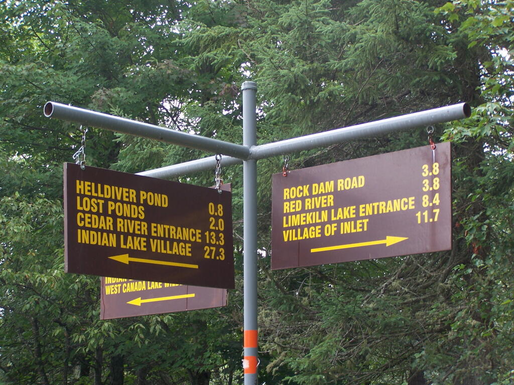
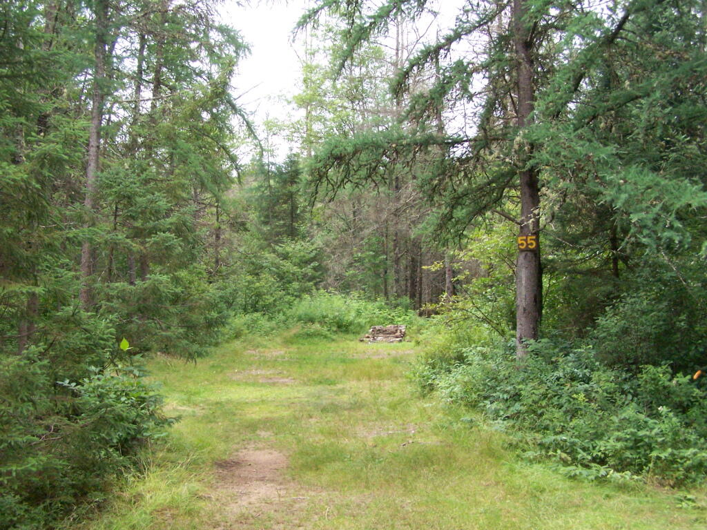
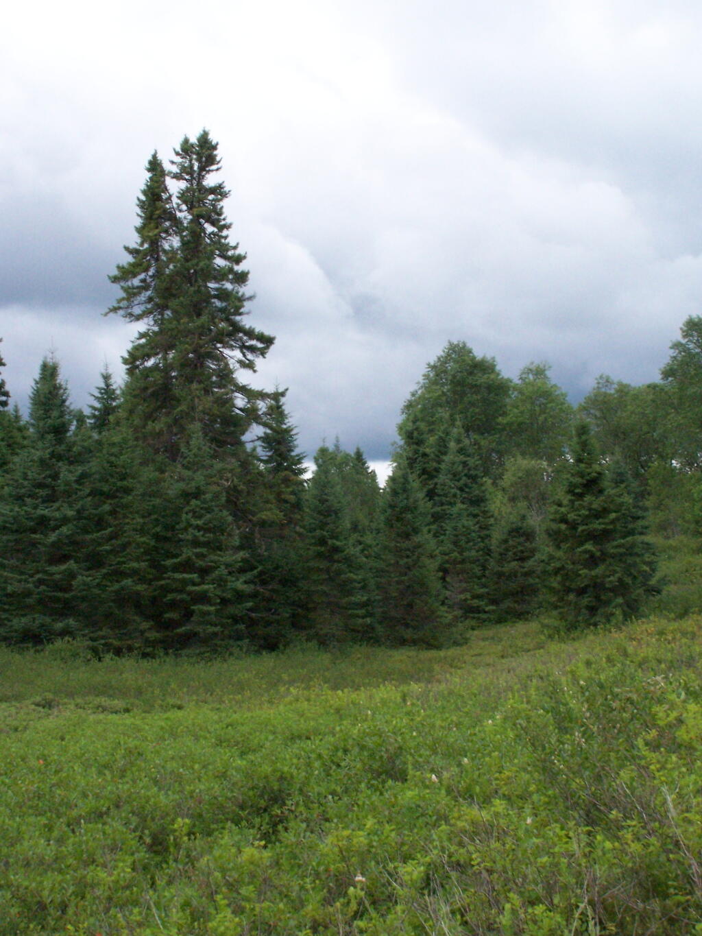
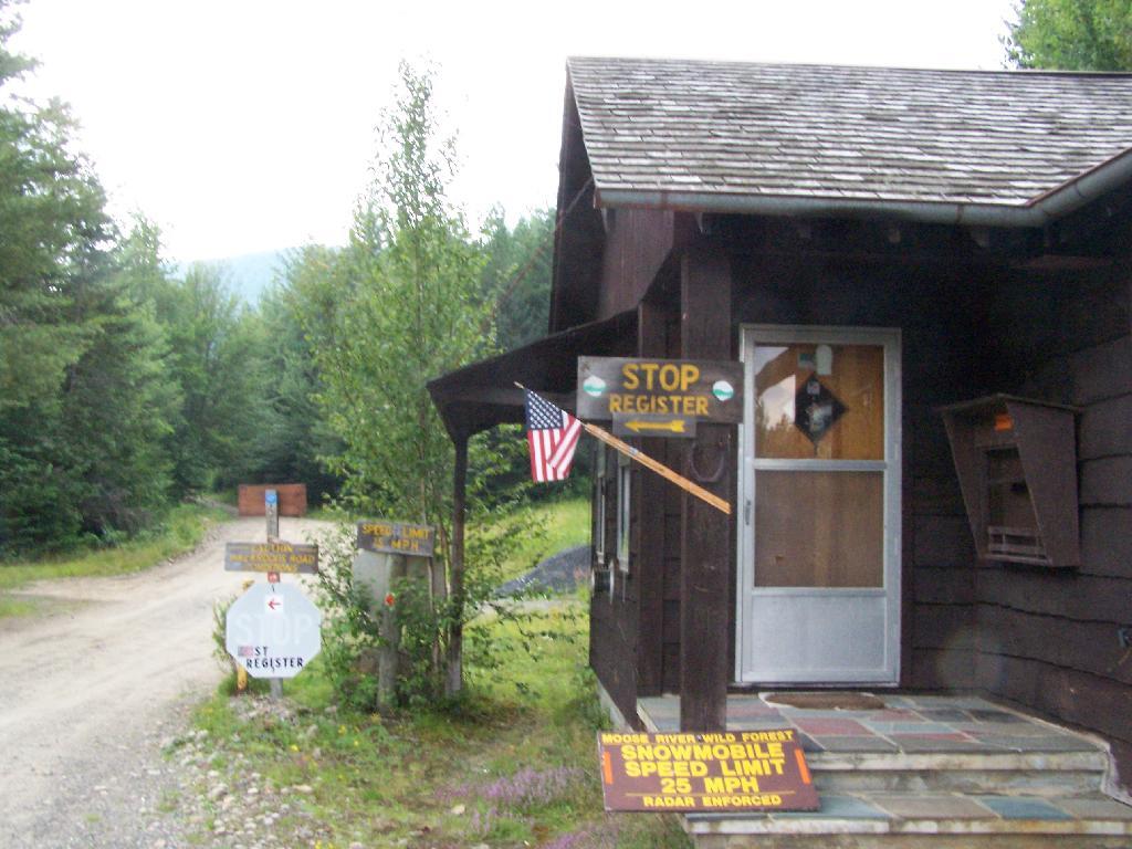
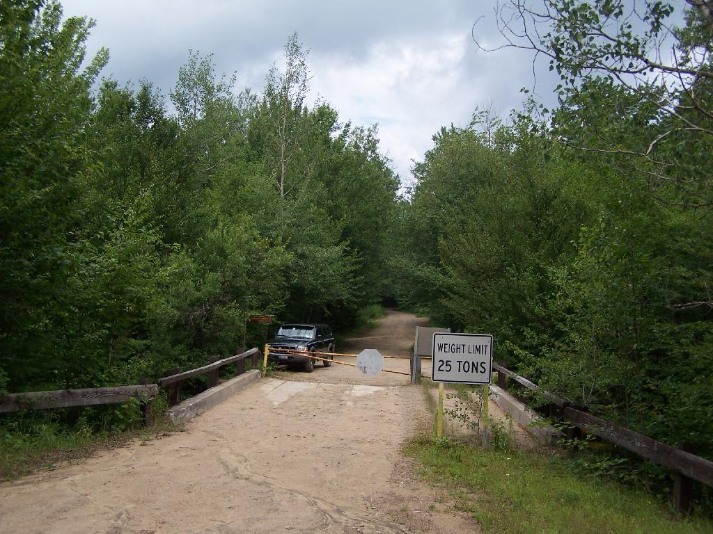
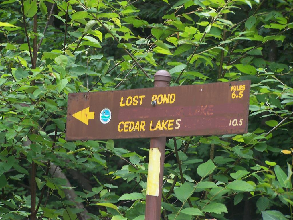
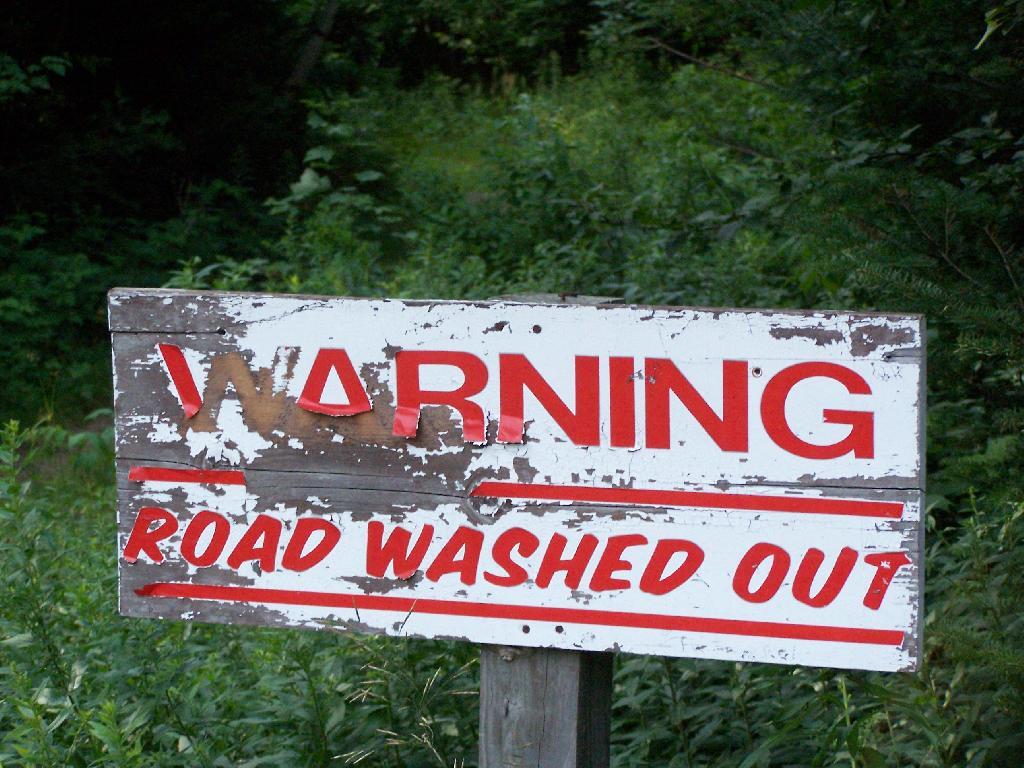
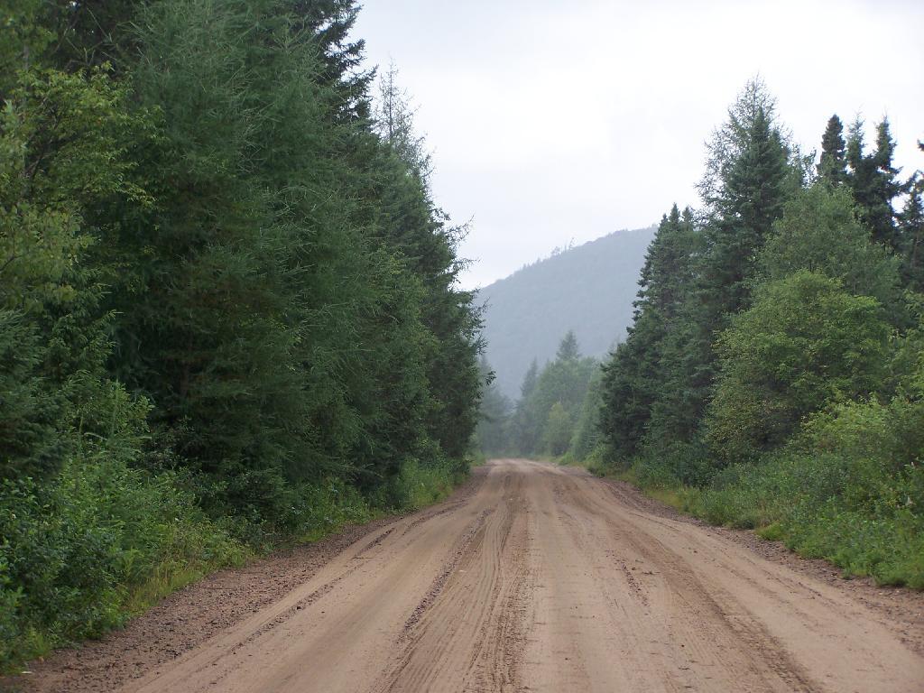
Today’s fodder was is an excerpt from “Moose River Plains Wild Forest Revised Draft Unit Management Plan/Draft Generic Environmental Impact Statement ‐ July 2010”, Appendix III, a NYS Department of Conservation Document that is in the public domain. As the DEC will probably eventually remove this from the internet, and because it is only in PDF I have decided to share it in the entirity in this blog post.
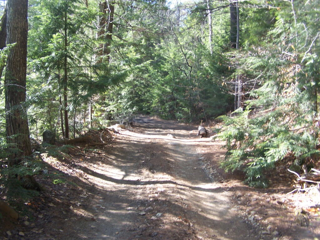
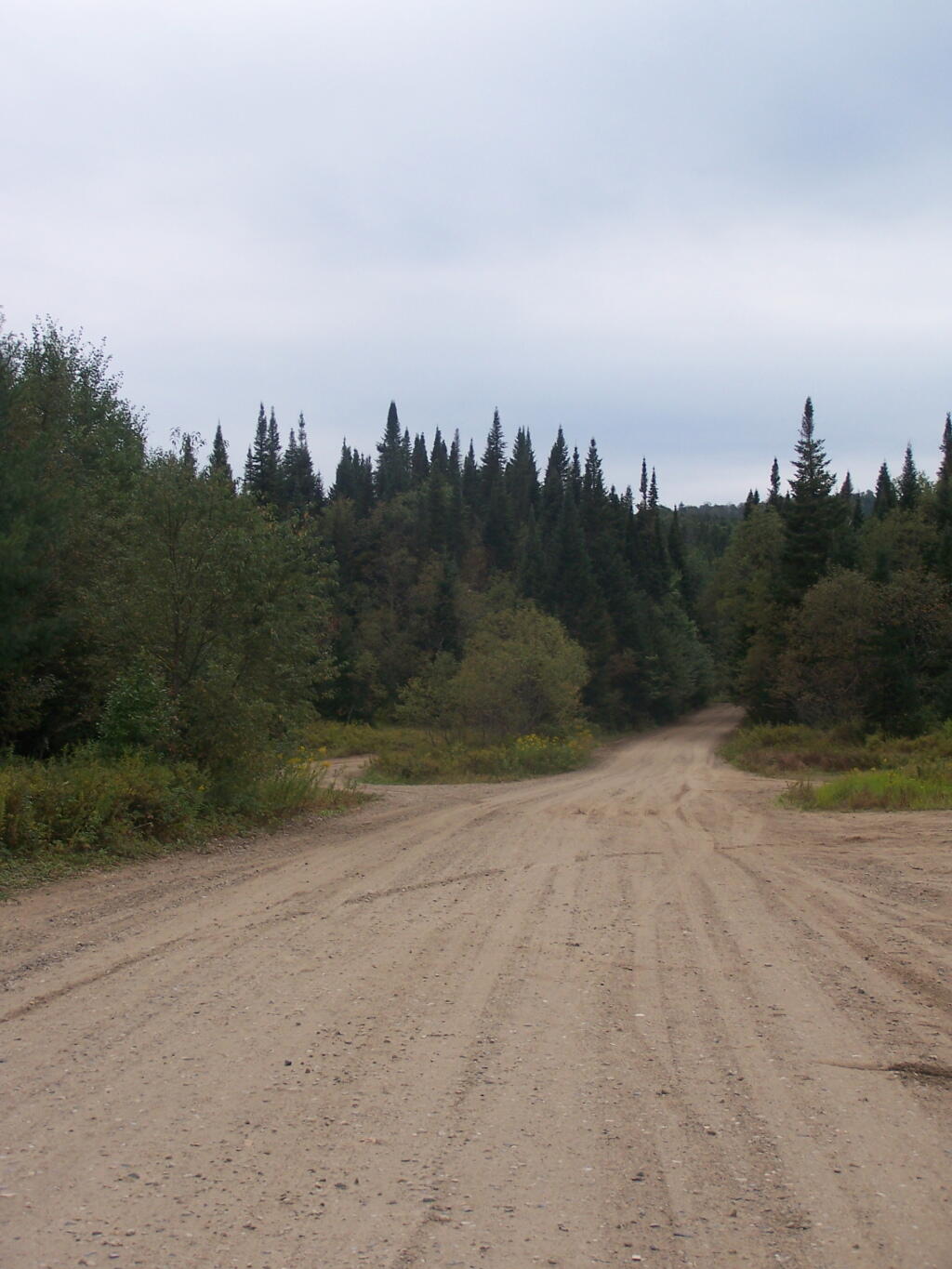
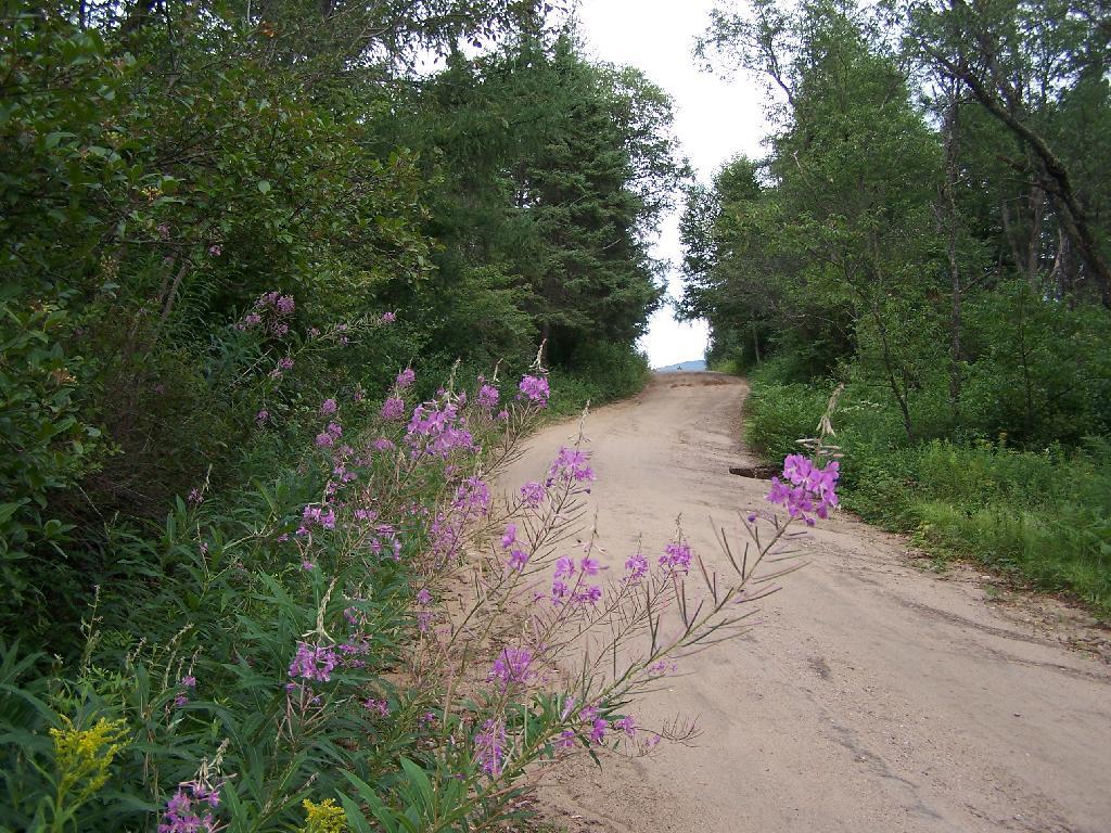
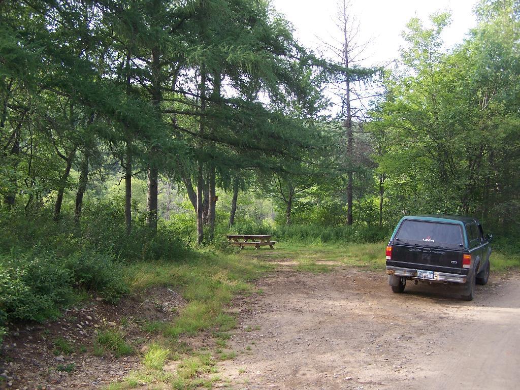
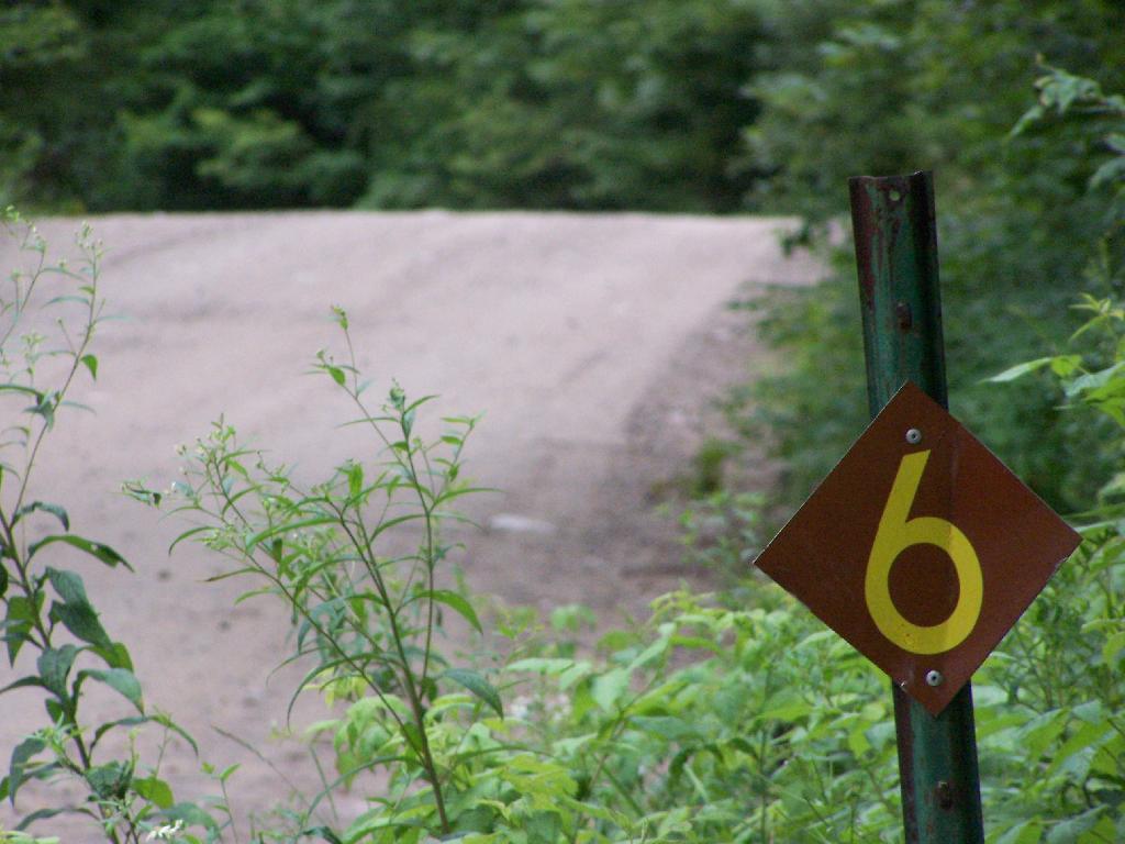
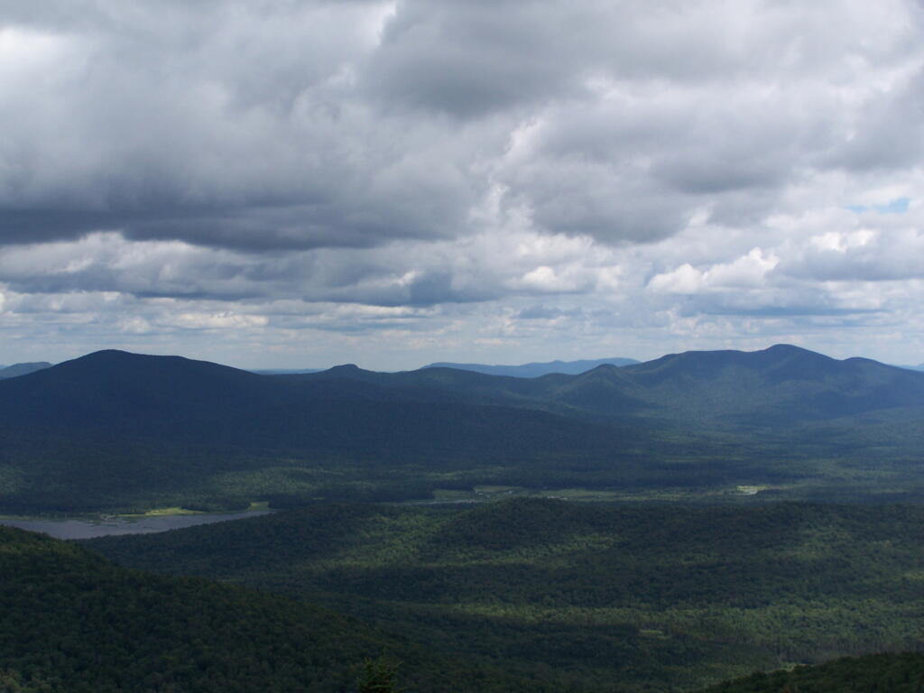
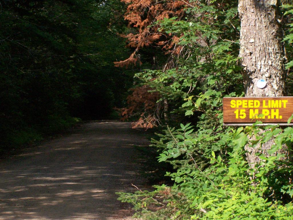
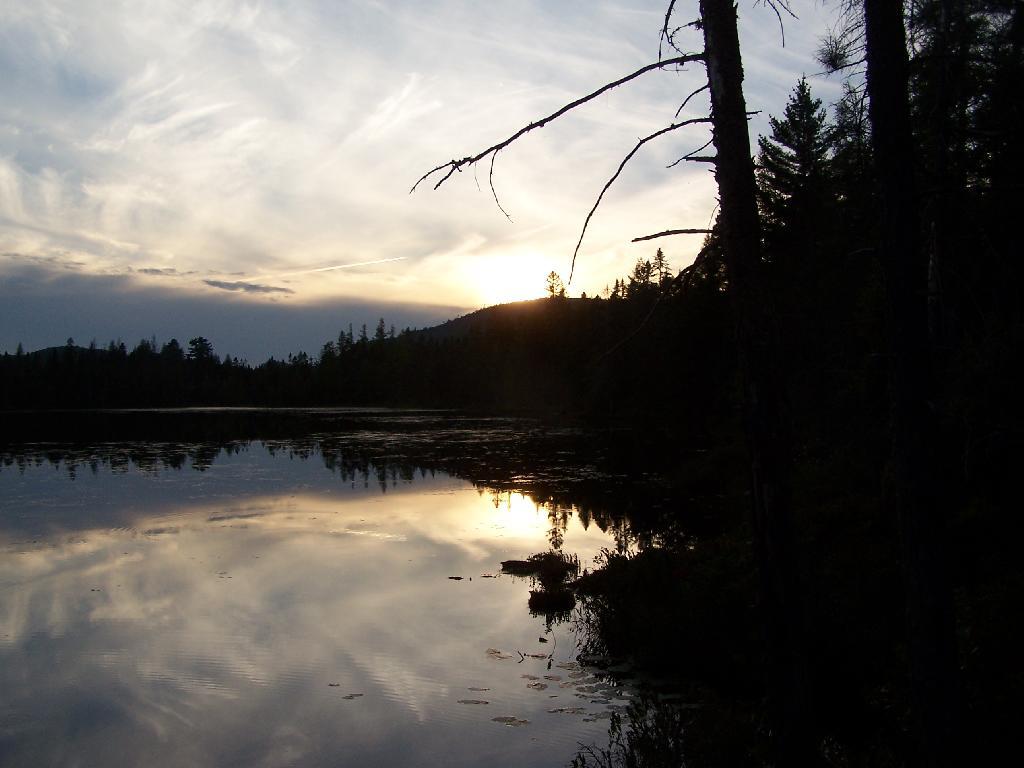
I have added some pictures I’ve taken over the years at Moose River Plains. I hope you find this interesting and helpful. – Andy
The State acquired an original tract of 9,000 acres in the heart of what is now the MRPWF before 1900. In 1948 the Conservation Department issued a permit allowing Gould Paper Company to use an existing wagon road known as the Kenwell Road to haul timber across State lands and to maintain a gate at the end of the road near Limekiln Lake to prevent public access. The Department acquired 15,710 acres surrounding Limekiln Lake from Gould in 1960, then another Gould parcel encompassing Lost Ponds and containing approximately 1,803 acres in 1962. An individual owner sold the State a parcel of 356 acres including Beaver Lake in 1963. The majority of what is now the MRPWF and the northern part of the West Canada Lake Wilderness was added to the Forest Preserve in 1963 when Gould Paper Company sold the State a tract of 50,970 acres stretching from Horn Lake on the west to Manbury Mountain on the east. Major subsequent additions included 602 acres surrounding Wakely Dam and the north end of Cedar River Flow from Finch, Pruyn and Company in 1964 and two large parcels acquired from International Paper Company: the 1,120‐acre Cellar Mountain parcel in 1986 and a tract of 9,925 acres south of Wakely Mountain in 1988. The larger parcel was acquired subject to a 1987 easement conveyed by IP to Hamilton County for the maintenance of the four miles of Cedar River Road which crossed the parcel. Appendix 25 contains an acquisition map.
A small parcel was acquired in 1981 along Route 28. This acquisition included access to the shore of Fourth Lake. However, there is no potential to develop any water access at this location. Appendix 15 contains a deed and sketch map for this parcel.
After this major acquisition, the Department took an active approach to the management of the area then referred to as the Moose River Recreation Area, a name which reflected the intent behind the purchase. From the beginning, the Department pursued the development of an extensive road system to provide public access to the remote interior for hunting, trapping, fishing and camping. An early Department report indicated that there were about 178 miles of primary gravel roads and an equal extent of secondary and winter roads throughout the former Gould lands. However none of the roads was suitable for public motor vehicle use without significant improvement. Minutes to a meeting of Department staff on December 9, 1963 included an estimated cost of $25,000 for the annual maintenance of 50 miles of roads and bridges. Starting in 1964, Division of Fish and Wildlife staff used heavy equipment to improve roads initially identified for public use. When the area first was opened to the public on October 23, 1964, the road connecting the Limekiln and Cedar River entrances had just been cleared by bulldozer, but remained difficult to traverse. In addition to the LLCR Road, the Rock Dam Road, Otter Brook Road and Sly Pond Loop were open to public use by permit for a total of about 30 miles. Fifty‐six parking areas were established along the road system. At the entrance gates, cars were assigned parking areas and travel was allowed only to and from those areas. The public were four‐wheel drive vehicles or tire chains. Pickups with slip‐on campers were permitted from the start, but because the roads were not yet suitable, trailers were not permitted.
In a road plan adopted in 1965, roads to be designated were divided into three categories. Twenty‐two miles would be first priority roads, open to all traffic; 30.5 miles would be second priority roads open only to fourwheel drive vehicles; and 7.5 miles would be administrative roads restricted to use by Department staff for crossing private property. In the first years after the area was opened to the public, access remained difficult because of the effects of weather on road conditions. In the summer of 1965, work needed to make the roads passable delayed opening until July 1. In order to minimize fire danger and facilitate the disposal of trash, the public was allowed to camp only in areas adjacent to the roads and for a maximum of 3 days. Trash receptacles eventually were provided at most campsites and Department staff collected trash twice a week through the 1970s. The trash was deposited at a dump site south of the LLCR Road east of Helldiver Pond.
The road crew worked steadily year by year to improve the roads with the intention of ultimately allowing them to be traveled safely by cars. After the extensive logging by Gould, especially after the 1950 Blowdown, much of the area was occupied by thick low vegetation, the tops of harvested and wind‐thrown trees. Foot travel was difficult. To allow hunters to more easily travel through more remote areas in search of game, Fish and Wildlife staff used a bulldozer to clear and extend logging roads and skid trails to serve as foot trails, starting in the late 1960s. Trails cleared in this way include routes to Mitchell Ponds, Bear Pond, Lost Ponds, Cellar Pond, Beaver Lake, Sly Pond and Squaw Lake, as well as those along Benedict Creek and Butter Brook. A number of routes cleared at that time are now within the West Canada Lake Wilderness, including the trails to Horn Lake and Falls Pond. Many of the cleared routes extended beyond the trails currently marked and maintained. A map prepared by Jack Harnish, a member of the crew that did the trail clearing work, is on file with the Department.
The minutes of the December 9, 1963 Department staff meeting mentioned above included in the list of recommendations for the operation of the area that the Department should establish several small camping areas to include table, fireplace and latrine throughout the area adjacent to the roads where parties can park and camp. By 1965 the Department began constructing campsites and installing fireplaces, picnic tables and privies, which were built in a field just west of the Cedar River entrance. At each suitable location along the road system, a bulldozer was used to make a short access driveway and level an area where a car or pickup truck could park and camp. A number of campsites were created at former log landings. Many of the areas originally intended as roadside parking areas later were converted to campsites. Campsite construction was completed by the late 1960s.
Because of the importance of the Plains as a deer wintering area, the Departments game management staff began studying the area in 1931. Hunting and fishing advocates such as the Adirondack Conservation Council supported the acquisition of the Plains and the development of its roads, trails and campsites for hunting and fishing access. In 1965 and 1966 with federal Pittman‐Robertson Act funding, 30 log landings were graded for hunter parking access and 30,000 trees were planted in the Plains area as an experiment intended to provide winter deer shelter.
In 1965 housing was constructed for the Limekiln and Cedar River gatekeepers. The possibility of a use fee was discussed, but no fee was charged during the early years. During the 1976 season the Department charged a fee of $1.50 or $2.00 per car. A subsequent assessment determined that most of the revenue generated by the fee was offset by the costs of staffing and administration. The fee was discontinued the following year.
Work to clear hunter access trails by bulldozer continued for a few years. However, after repeated incidents of public motor vehicle travel on these trails, 16 barriers were installed in 1970, and motor vehicles no longer were used to maintain the trails. Also in 1970, the original road plan was changed to close 22.5 miles of the original III. Management and Policy Moose River Plains Wild Forest Revised Draft Unit Management Plan/Draft Generic Environmental Impact Statement ‐ July 2010 67 30.5 miles of secondary roads to the public and retain them as administrative roads. The other 8 miles, consisting of the beginning of the Otter Brook truck trail and the road to the Indian River, were upgraded to primary roads and the gate at the Otter Brook bridge was removed.
As work progressed over the years and the condition of the road system improved, the Department relaxed restrictions on the types of vehicles the public could drive. In the late 1960s the Department decided to allow motorhomes up to 22 feet long to travel the roads through big game hunting season, as long as they had tire chains. It was thought that they were less likely to get stuck than vehicles towing camping trailers, which the Department continued to prohibit. However, pressure to allow trailers began early and continued to grow. After Department staff conducted an assessment of the roads and determined that they had been sufficiently improved, they decided to allow trailers beginning around 1980.
For several years after the Department first erected wood signs in the MRPWF, they were repeatedly damaged by black bears. To prevent further destruction, metal signs were installed in 1975.
A detailed Department map prepared in 1977 shows 222 campsite and parking area locations along the road system. The map provides an inventory of the structures at each site, showing the prevalence of fireplaces, picnic tables and privies at the time. Twenty sites were closed in 1980 after the reclassification of the southwestern portion of the area to wilderness, when the road to the Indian River was gated at Indian Lake. The campsites were not given numbers on the ground until the 1980s. A number of original sites that had fallen into disuse were bypassed when the numbers were assigned, so that in 2008 there are 170 numbered sites. In 2006 sites 7, 34, 66, 73, 90, 119a, 130 , and site 1 at Cedar River Flow were modified and designated as accessible sites.
In recent years, maintenance activities have focused on keeping the road system in passable condition, replacing inadequate culverts and trail maintenance. In 2001, four gravel pits were reclaimed and replanted.
In 1996 an engineering evaluation was completed for the public motor vehicle roads in the unit. The report focused on 8 major and 12 minor culvert problem areas and made recommendations for replacing existing culverts with new structures of sufficient capacity to handle a design storm of 100‐year occurrence probability with a snowmelt allowance. Between 2000 and 2005, 11 of the 12 minor sites, with the exception of site 10B, were addressed and site 5A of the major sites is the only one complete. The report and an updated status can be found in Appendix 22.
In 1974, jurisdiction over approximately one acre of State land was transferred from the Hudson River‐Black River Regulating District to the Department for use as a canoe access site on Sixth Lake. In 1986, the Department transferred jurisdiction of 6.41 acres of State land along Sagamore Road to DOT. This parcel encompasses an old sand pit and was transferred so that DOT could relocate their maintenance facility from an area immediately adjacent to State Route 28 to a more screened location. DEC reserved the right to use gravel from this site, as long as it did not interfere with the DOT facility. Currently DOT does not use the site, but may use it at some time in the future.
When the Moose River Recreation Area was first opened to the public, use levels were relatively high. During big game hunting season in 1964, 2,021 vehicles with 5,764 passengers signed in. Though the area originally was purchased and developed for use by hunters, trappers and anglers, the first 10‐day report filed after the 1965 opening on July 1 indicated that 75 percent of visitors were campers and sight‐seers. In 1966, 7,809 people signed in as anglers and 23,408 camper‐days were recorded during big game hunting season, about 6,000 of which were recorded for campsites beyond the Otter Brook bridge. Big game hunters were very successful in the early years, harvesting 373 deer and 15 bear in 1966 and a high of 404 deer in 1968. Deer harvest levels declined sharply after 1969, with 77 harvested in 1970 and 11 in 1971. Since the 1970s the number of deer taken by hunters has increased and in recent years harvest numbers have nearly returned to the levels recorded in the 1960s. The MRPWF remains popular with hunters, trappers and anglers.
Early management included the adoption of a number of regulations in 1972. These regulations, which still apply to public use of the area, require visitors to register at the Cedar River and Limekiln entrances, require the use of tire chains after October 1 except on 4‐wheel drive vehicles, prohibit snowmobile operation during the big game hunting season and prohibit the use of motorcycles and motorized bicycles. Current conditions may warrant the elimination of the registration requirement and the prohibition against motorcycle use.