Search Results for: map hudson river to ny 196
Hudson River Special Management Area Campsite GPS Locations
| Hudson River Special Management Area Campsite GPS Locations |
||
| Campsite | Lat | Lng |
|---|---|---|
| Bear Slide Road Campsite 17 | 43.39771 | -73.87909 |
| Buttermilk Road Campsite 6 | 43.40177 | -73.87894 |
| Buttermilk Road Campsite 7 | 43.40396 | -73.88003 |
| Buttermilk Road Campsite 8 | 43.40593 | -73.87970 |
| Buttermilk Road Campsite 9 | 43.41207 | -73.87412 |
| Chamberlin Farm Campsite 19 | 43.43964 | -73.86749 |
| Gay Pond Road Campsite 10 | 43.41913 | -73.87855 |
| Gay Pond Road Campsite 11 | 43.41931 | -73.87515 |
| Gay Pond Road Campsite 12 | 43.41625 | -73.87513 |
| Gay Pond Road Campsite 16 | 43.41723 | -73.82246 |
| Pikes Beach Campsite 3 | 43.34594 | -73.86285 |
| Pikes Beach Campsite 4 | 43.34633 | -73.86310 |
| Scofield Flats Campsite 1 | 43.34159 | -73.85520 |
| Scofield Flats Campsite 2 | 43.34199 | -73.85580 |
| NYS DEC Data – Table by Andy Arthur, 11.29.23 | ||
USGS Topographic Maps – Putnam to Suffolk
Counties: Albany to Delaware / Dutchess to Livingston / Madison to Otsego / Putnam to Suffolk / Sullivan to Yates
Browse Topographic Maps: Full State / Historical USGS Topographic Maps
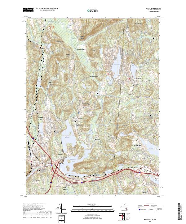
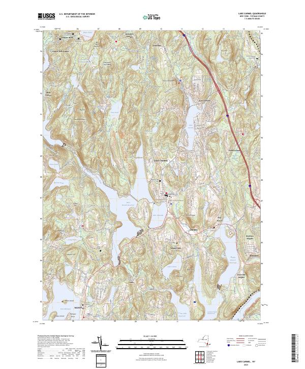
Putnam County


Queens County


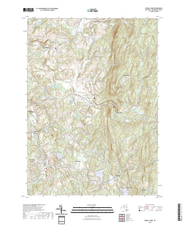
Rensselaer County


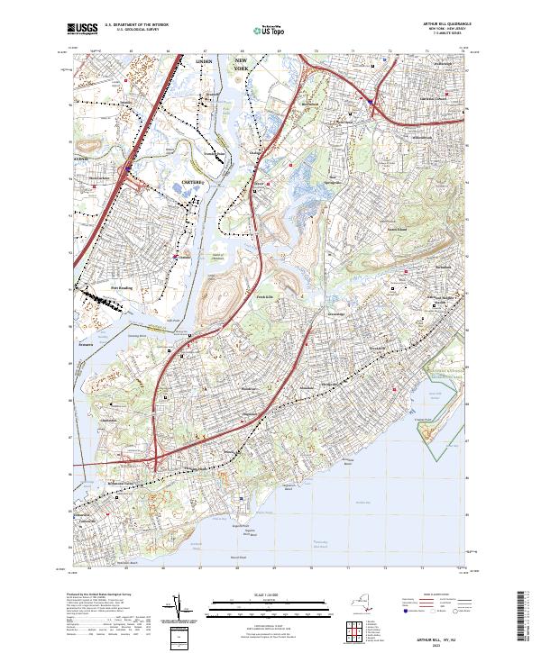
Richmond County


Rockland County


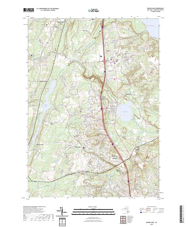
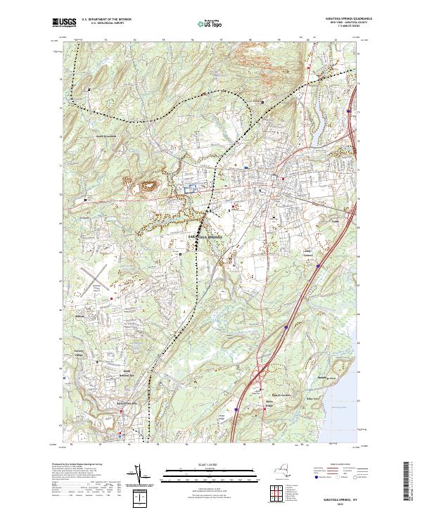
Saratoga County


Schenectady County


Schoharie County


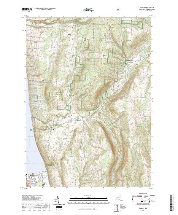
Schuyler County


Seneca County


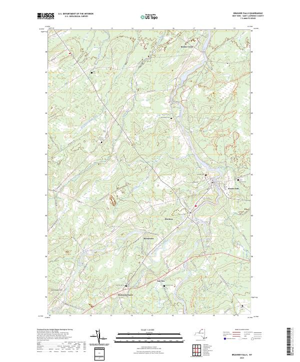
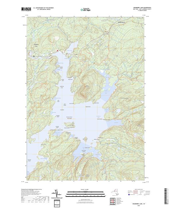
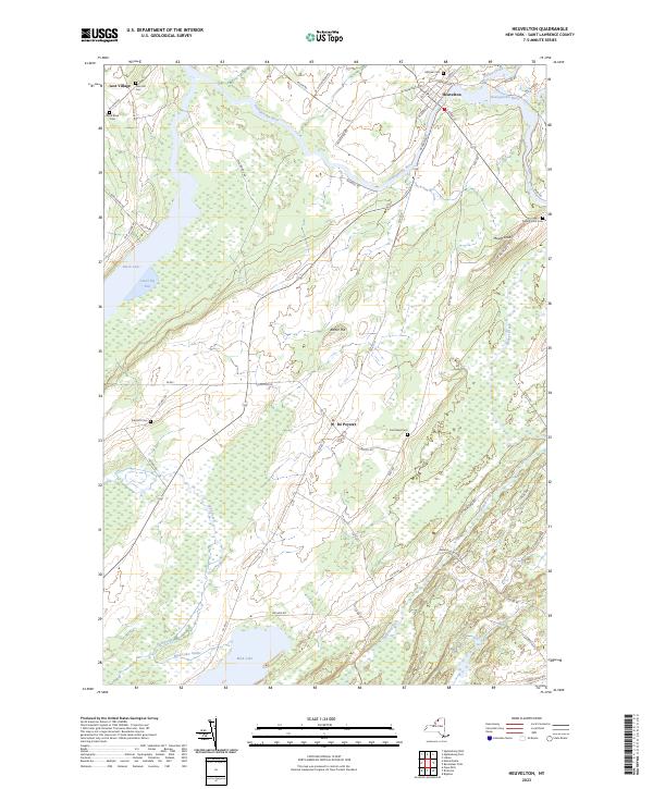
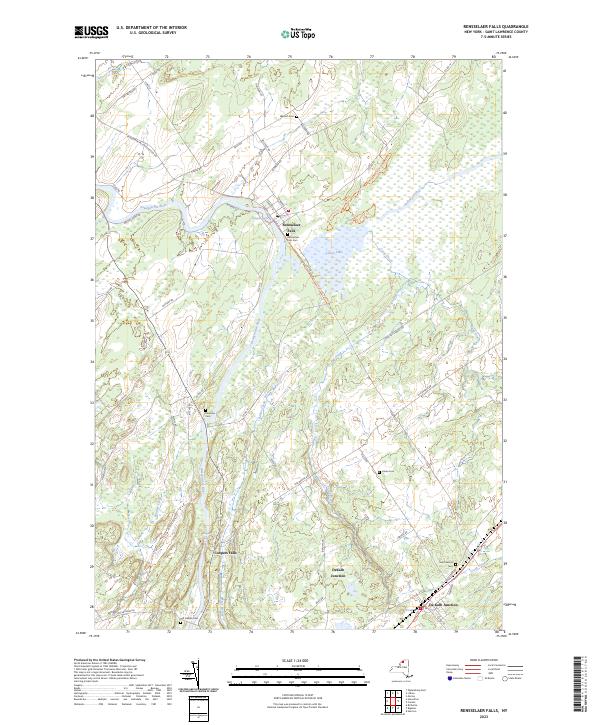
St. Lawrence County


Steuben County


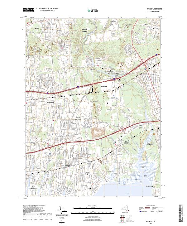
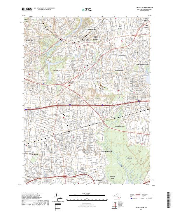
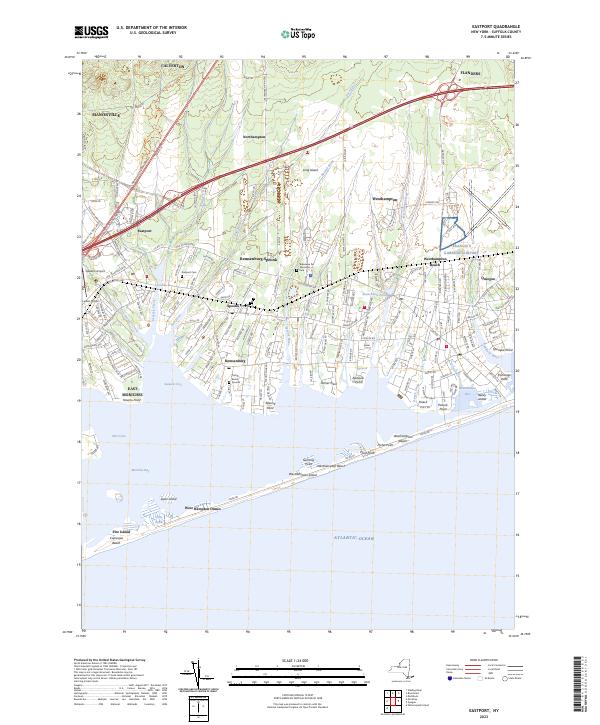
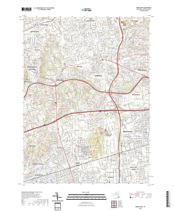
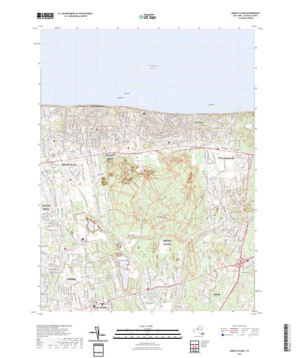
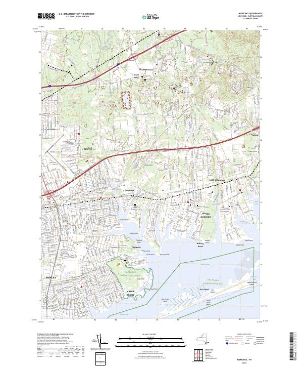
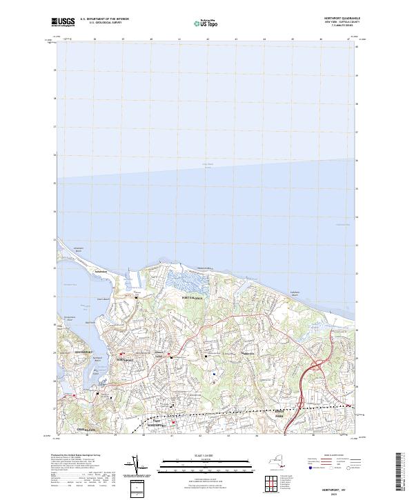
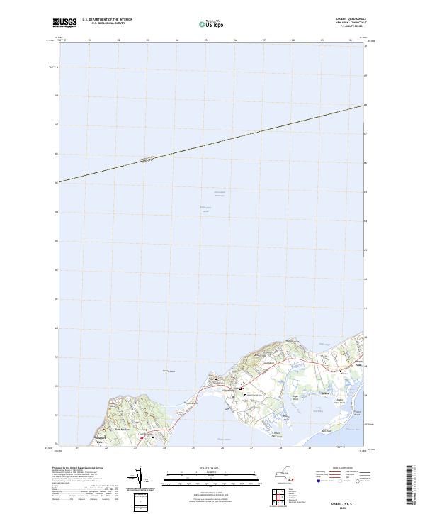
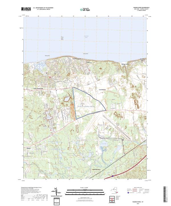
Suffolk County


USGS Topographic Maps – Albany to Delaware Counties
Counties: Albany to Delaware / Dutchess to Livingston / Madison to Otsego / Putnam to Suffolk / Sullivan to Yates
Browse Topographic Maps: Full State / Historical USGS Topographic Maps
Albany County


Allegany County


Bronx County


Broome County


Cattaraugus County


Cayuga County


Chautauqua County


Chemung County


Chenango County


Clinton County


Columbia County


Cortland County


Delaware County


USGS Topographic Maps – Dutchess to Livingston Counties
Counties: Albany to Delaware / Dutchess to Livingston / Madison to Otsego / Putnam to Suffolk / Sullivan to Yates
Browse Topographic Maps: Full State / Historical USGS Topographic Maps
Dutchess County


Erie County


Essex County


Franklin County


Fulton County


Genesee County


Greene County


Hamilton County


Herkimer County


Jefferson County


Kings County
Lewis County


Livingston County


USGS Topographic Maps – Madison to Otsego Counties
Counties: Albany to Delaware / Dutchess to Livingston / Madison to Otsego / Putnam to Suffolk / Sullivan to Yates
Browse Topographic Maps: Full State / Historical USGS Topographic Maps
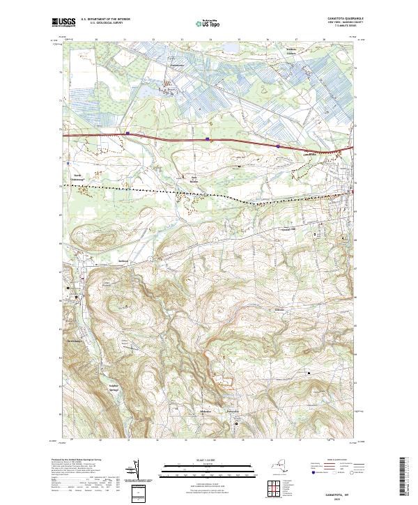
Madison County


Monroe County


Montgomery County
| PDF (50-60 MB Download) | Historical USGS Topo Maps | State Lands (Links to DEC Website) | Towns (Percent of Town’s Area) |
|---|---|---|---|
Current Amsterdam GeoPDF Map |
1954 Map No. 136622, 1954 Map No. 136623, 1954 Map No. 136624, 1954 Map No. 137071 | NA | Amsterdam city (100%), Amsterdam (56%), Duanesburg (0%), Florida (47%), Perth (28%), Princetown (0%) |
Current Canajoharie GeoPDF Map |
1944 Map No. 123405, 1944 Map No. 123406 | NA | Canajoharie (28%), Ephratah (9%), Minden (1%), Palatine (84%), Root (3%), St. Johnsville (9%) |
Current Carlisle GeoPDF Map |
1943 Map No. 122809, 1943 Map No. 122810 | Rural Grove State Forest, Yatesville Falls State Forest | Carlisle (36%), Charleston (28%), Glen (5%), Root (56%) |
Current Duanesburg GeoPDF Map |
1954 Map No. 137906, 1954 Map No. 137907, 1954 Map No. 137909 | Featherstonhaugh State Forest | Duanesburg (59%), Esperance (0%), Florida (24%) |
Current East Springfield GeoPDF Map |
1943 Map No. 138023, 1943 Map No. 138024 | NA | Cherry Valley (34%), Middlefield (19%), Minden (1%), Otsego (0%), Roseboom (4%), Springfield (57%), Stark (3%) |
Current Esperance GeoPDF Map |
1943 Map No. 138118, 1943 Map No. 138120 | Lost Valley State Forest, Charleston State Forest | Carlisle (9%), Charleston (72%), Duanesburg (3%), Esperance (54%), Florida (7%), Glen (11%) |
Current Fort Plain GeoPDF Map |
1944 Map No. 138157, 1944 Map No. 138280 | NA | Canajoharie (9%), Danube (4%), Manheim (0%), Minden (87%), Palatine (2%), St. Johnsville (25%) |
Current Oppenheim GeoPDF Map |
1945 Map No. 128927, 1945 Map No. 128928 | Fulton FP Detached Parcel, Lassellsville State Forest, Ferris Lake Wild Forest | Danube (0%), Manheim (3%), Oppenheim (75%), Salisbury (0%), St. Johnsville (62%), Stratford (1%) |
Current Pattersonville GeoPDF Map |
1954 Map No. 135974, 1954 Map No. 135975 | NA | Amsterdam (30%), Charlton (37%), Duanesburg (0%), Florida (5%), Galway (13%), Glenville (40%), Perth (6%), Princetown (7%), Rotterdam (5%) |
Current Randall GeoPDF Map |
1944 Map No. 136007, 1944 Map No. 136008, 1944 Map No. 136009 | Yatesville Falls State Forest | Ephratah (1%), Glen (28%), Johnstown city (27%), Johnstown (7%), Mohawk (62%), Palatine (14%), Root (18%) |
Current Sharon Springs GeoPDF Map |
1943 Map No. 136148, 1943 Map No. 136149, 1943 Map No. 136150 | NA | Canajoharie (39%), Carlisle (8%), Root (23%), Seward (0%), Sharon (61%) |
Current Sprout Brook GeoPDF Map |
1943 Map No. 136932, 1943 Map No. 139853, 1943 Map No. 139854 | Cherry Valley State Forest, Honey Hill State Forest | Canajoharie (24%), Cherry Valley (66%), Minden (9%), Roseboom (9%), Sharon (26%) |
Current Tribes Hill GeoPDF Map |
1944 Map No. 139361, 1944 Map No. 139363 | NA | Amsterdam (13%), Florida (17%), Glen (56%), Johnstown city (8%), Johnstown (6%), Mohawk (38%), Perth (8%) |
Current Van Hornesville GeoPDF Map |
1943 Map No. 139474, 1943 Map No. 139475 | Otsquago State Forest, Ohisa State Forest, Van Hornesville Fish Hatchery | Danube (69%), Little Falls (7%), Minden (2%), Springfield (6%), Stark (90%), Warren (0%) |
Nassau County


New York County
| PDF (50-60 MB Download) | Historical USGS Topo Maps | State Lands (Links to DEC Website) | Towns (Percent of Town’s Area) |
|---|---|---|---|
Current Brooklyn GeoPDF Map |
1947 Map No. 123124, 1956 Map No. 123127, 1956 Map No. 123128, 1967 Map No. 123129, 1967 Map No. 123130, 1967 Map No. 123131, 1967 Map No. 123132, 1995 Map No. 137132 | NA | Brooklyn borough (47%), Manhattan borough (18%), Queens borough (10%) |
Current Central Park GeoPDF Map |
1947 Map No. 122894, 1956 Map No. 122895, 1956 Map No. 122896, 1966 Map No. 122897, 1966 Map No. 122898, 1966 Map No. 122899, 1966 Map No. 122900, 1995 Map No. 137165 | Bronx River Trail | Bronx borough (31%), Manhattan borough (68%), Queens borough (7%) |
Current Jersey City GeoPDF Map |
NA | NA | Brooklyn borough (7%), Manhattan borough (12%), Staten Island borough (7%) |
Niagara County
| PDF (50-60 MB Download) | Historical USGS Topo Maps | State Lands (Links to DEC Website) | Towns (Percent of Town’s Area) |
|---|---|---|---|
Current Akron GeoPDF Map |
1949 Map No. 136539, 1951 Map No. 136540, 1951 Map No. 710097 | Onondaga Escarpment Unique Area, John White WMA, Tonawanda WMA | Alabama (46%), Newstead (17%), Pembroke (24%), Royalton (6%), Tonawanda Reservation (100%), Tonawanda Reservation (100%), Tonawanda Reservation (100%) |
Current Barker GeoPDF Map |
1949 Map No. 123175, 1965 Map No. 123176 | Hartland Swamp WMA | Hartland (45%), Somerset (73%) |
Current Cambria GeoPDF Map |
1949 Map No. 123146, 1965 Map No. 123148 | NA | Cambria (92%), Lockport (3%), Newfane (1%), Pendleton (8%), Wheatfield (5%), Wilson (25%) |
Current Clarence Center GeoPDF Map |
1950 Map No. 137625, 1950 Map No. 137626, 1965 Map No. 137627 | Great Baehre Swamp WMA | Amherst (28%), Clarence (41%), Lockport (21%), Pendleton (29%) |
Current Fort Niagara GeoPDF Map |
NA | NA | Porter (13%) |
Current Gasport GeoPDF Map |
1950 Map No. 129475, 1965 Map No. 129476 | NA | Hartland (27%), Lockport (4%), Royalton (55%) |
Current Lewiston GeoPDF Map |
1950 Map No. 130254, 1965 Map No. 130255 | NA | Lewiston (37%), Niagara Falls city (3%), Niagara (10%), Porter (17%) |
Current Lockport GeoPDF Map |
1950 Map No. 130317, 1965 Map No. 130318 | NA | Hartland (2%), Lockport city (100%), Lockport (69%), Newfane (24%), Pendleton (5%) |
Current Lyndonville GeoPDF Map |
1951 Map No. 130384, 1951 Map No. 130385 | NA | Hartland (13%), Ridgeway (34%), Somerset (22%), Yates (59%) |
Current Medina GeoPDF Map |
1949 Map No. 130524, 1951 Map No. 130527 | Tonawanda WMA | Alabama (4%), Hartland (9%), Ridgeway (20%), Royalton (16%), Shelby (58%) |
Current Newfane GeoPDF Map |
1950 Map No. 130845, 1965 Map No. 130846 | NA | Hartland (4%), Newfane (73%), Somerset (5%) |
Current Niagara Falls GeoPDF Map |
1949 Map No. 128711, 1965 Map No. 128712 | NA | Grand Island (9%), Niagara Falls city (67%), Niagara (10%) |
Current Ransomville GeoPDF Map |
1950 Map No. 136015, 1965 Map No. 136016 | NA | Cambria (8%), Lewiston (63%), Niagara (15%), Porter (31%), Tuscarora Nation Reservation (100%), Wheatfield (6%), Wilson (5%) |
Current Sixmile Creek GeoPDF Map |
1949 Map No. 136173, 1965 Map No. 136174, 1973 Map No. 136175 | NA | Porter (38%), Wilson (10%) |
Current Tonawanda East GeoPDF Map |
1950 Map No. 139339, 1950 Map No. 139340, 1965 Map No. 139341, 1980 Map No. 139342 | NA | Amherst (31%), North Tonawanda city (64%), Pendleton (57%), Tonawanda city (41%), Tonawanda (13%), Wheatfield (39%) |
Current Tonawanda West GeoPDF Map |
1948 Map No. 139343, 1948 Map No. 139344, 1950 Map No. 139345, 1965 Map No. 139347 | Spicer Creek WMA | Grand Island (66%), Niagara Falls city (30%), Niagara (65%), North Tonawanda city (36%), Tonawanda city (57%), Tonawanda (3%), Wheatfield (51%) |
Current Wilson GeoPDF Map |
1949 Map No. 140342, 1965 Map No. 140343 | NA | Newfane (3%), Wilson (60%) |
Current Wolcottsville GeoPDF Map |
1950 Map No. 140363, 1965 Map No. 140364 | Tonawanda WMA, Tonawanda Creek Fishing Access | Clarence (25%), Lockport (2%), Newstead (47%), Royalton (23%) |
Oneida County


Onondaga County


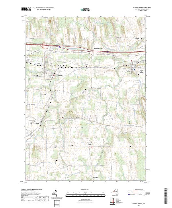
Ontario County


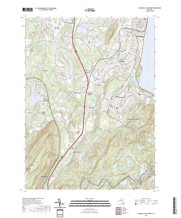
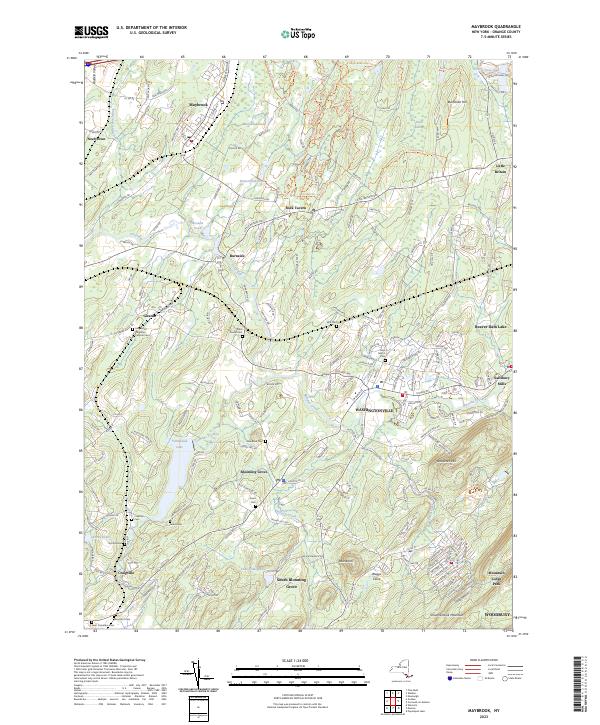
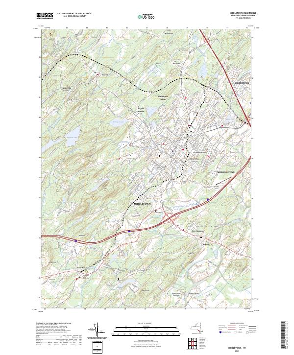
Orange County


Orleans County


Oswego County


Otsego County


USGS Topographic Maps – Sullivan to Yates County
Counties: Albany to Delaware / Dutchess to Livingston / Madison to Otsego / Putnam to Suffolk / Sullivan to Yates
Browse Topographic Maps: Full State / Historical USGS Topographic Maps


