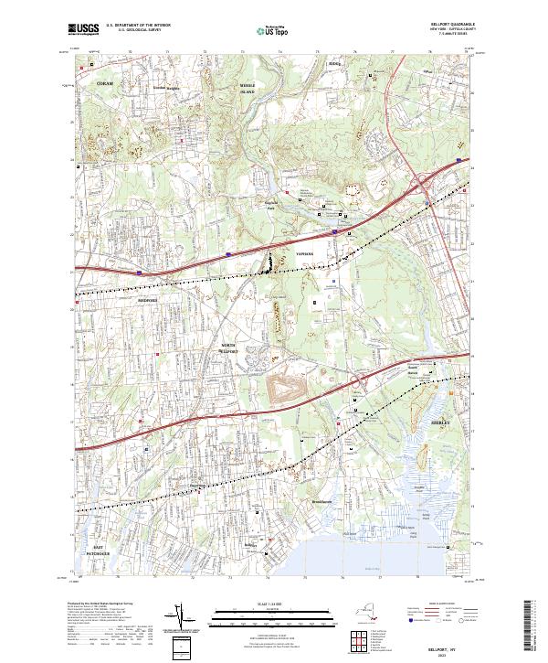
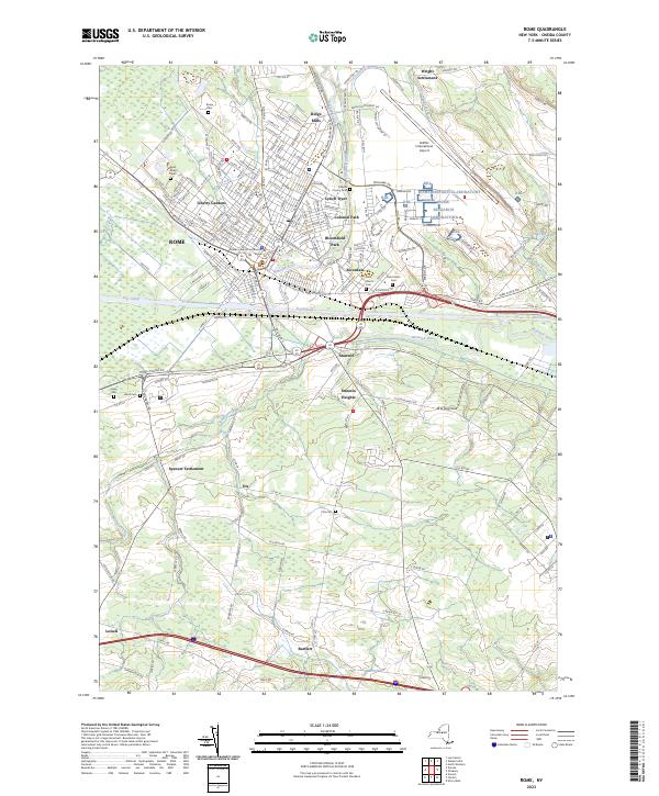
Counties: Albany to Delaware / Dutchess to Livingston / Madison to Otsego / Putnam to Suffolk / Sullivan to Yates
Browse Topographic Maps: Full State / Historical USGS Topographic Maps
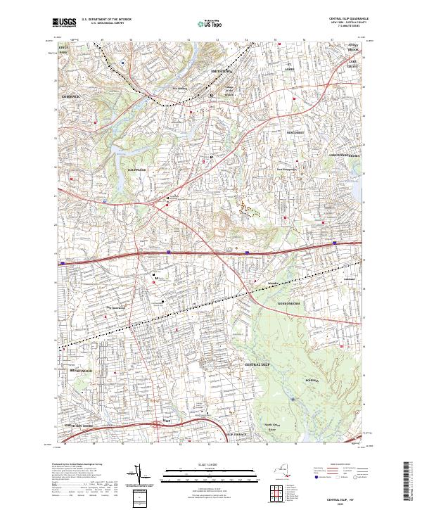
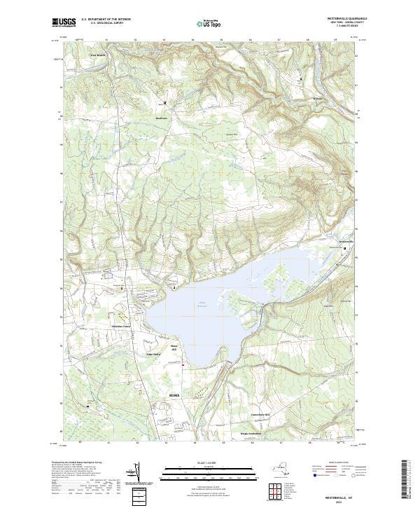
Counties: Albany to Delaware / Dutchess to Livingston / Madison to Otsego / Putnam to Suffolk / Sullivan to Yates
Browse Topographic Maps: Full State / Historical USGS Topographic Maps
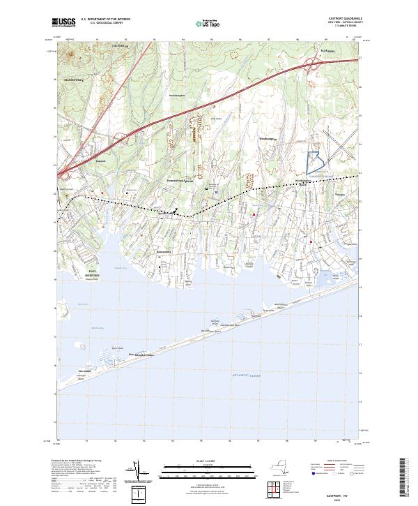
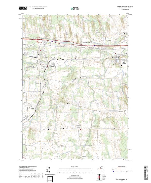
Counties: Albany to Delaware / Dutchess to Livingston / Madison to Otsego / Putnam to Suffolk / Sullivan to Yates
Browse Topographic Maps: Full State / Historical USGS Topographic Maps
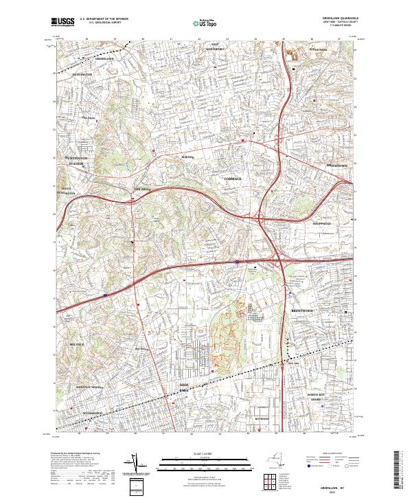
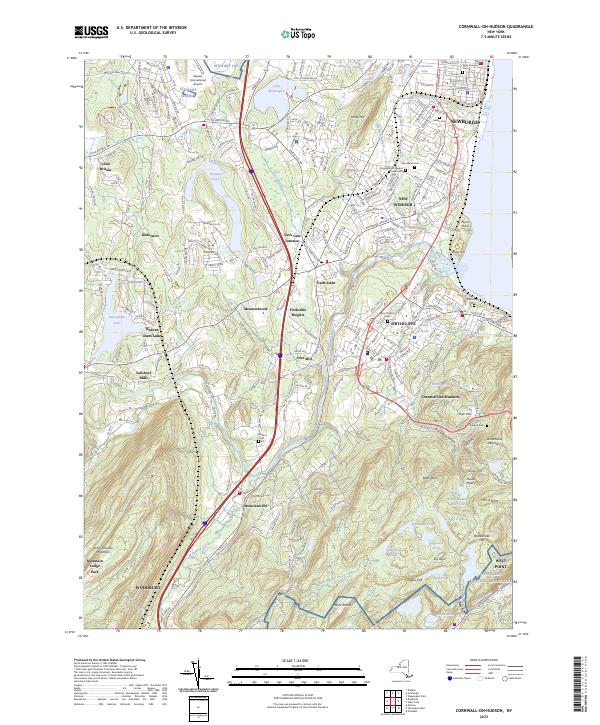
Counties: Albany to Delaware / Dutchess to Livingston / Madison to Otsego / Putnam to Suffolk / Sullivan to Yates
Browse Topographic Maps: Full State / Historical USGS Topographic Maps
| PDF (50-60 MB Download) | Historical USGS Topo Maps | State Lands (Links to DEC Website) | Towns (Percent of Town’s Area) |
|---|---|---|---|
Current Amsterdam GeoPDF Map |
1954 Map No. 136622, 1954 Map No. 136623, 1954 Map No. 136624, 1954 Map No. 137071 | NA | Amsterdam city (100%), Amsterdam (56%), Duanesburg (0%), Florida (47%), Perth (28%), Princetown (0%) |
Current Canajoharie GeoPDF Map |
1944 Map No. 123405, 1944 Map No. 123406 | NA | Canajoharie (28%), Ephratah (9%), Minden (1%), Palatine (84%), Root (3%), St. Johnsville (9%) |
Current Carlisle GeoPDF Map |
1943 Map No. 122809, 1943 Map No. 122810 | Rural Grove State Forest, Yatesville Falls State Forest | Carlisle (36%), Charleston (28%), Glen (5%), Root (56%) |
Current Duanesburg GeoPDF Map |
1954 Map No. 137906, 1954 Map No. 137907, 1954 Map No. 137909 | Featherstonhaugh State Forest | Duanesburg (59%), Esperance (0%), Florida (24%) |
Current East Springfield GeoPDF Map |
1943 Map No. 138023, 1943 Map No. 138024 | NA | Cherry Valley (34%), Middlefield (19%), Minden (1%), Otsego (0%), Roseboom (4%), Springfield (57%), Stark (3%) |
Current Esperance GeoPDF Map |
1943 Map No. 138118, 1943 Map No. 138120 | Lost Valley State Forest, Charleston State Forest | Carlisle (9%), Charleston (72%), Duanesburg (3%), Esperance (54%), Florida (7%), Glen (11%) |
Current Fort Plain GeoPDF Map |
1944 Map No. 138157, 1944 Map No. 138280 | NA | Canajoharie (9%), Danube (4%), Manheim (0%), Minden (87%), Palatine (2%), St. Johnsville (25%) |
Current Oppenheim GeoPDF Map |
1945 Map No. 128927, 1945 Map No. 128928 | Fulton FP Detached Parcel, Lassellsville State Forest, Ferris Lake Wild Forest | Danube (0%), Manheim (3%), Oppenheim (75%), Salisbury (0%), St. Johnsville (62%), Stratford (1%) |
Current Pattersonville GeoPDF Map |
1954 Map No. 135974, 1954 Map No. 135975 | NA | Amsterdam (30%), Charlton (37%), Duanesburg (0%), Florida (5%), Galway (13%), Glenville (40%), Perth (6%), Princetown (7%), Rotterdam (5%) |
Current Randall GeoPDF Map |
1944 Map No. 136007, 1944 Map No. 136008, 1944 Map No. 136009 | Yatesville Falls State Forest | Ephratah (1%), Glen (28%), Johnstown city (27%), Johnstown (7%), Mohawk (62%), Palatine (14%), Root (18%) |
Current Sharon Springs GeoPDF Map |
1943 Map No. 136148, 1943 Map No. 136149, 1943 Map No. 136150 | NA | Canajoharie (39%), Carlisle (8%), Root (23%), Seward (0%), Sharon (61%) |
Current Sprout Brook GeoPDF Map |
1943 Map No. 136932, 1943 Map No. 139853, 1943 Map No. 139854 | Cherry Valley State Forest, Honey Hill State Forest | Canajoharie (24%), Cherry Valley (66%), Minden (9%), Roseboom (9%), Sharon (26%) |
Current Tribes Hill GeoPDF Map |
1944 Map No. 139361, 1944 Map No. 139363 | NA | Amsterdam (13%), Florida (17%), Glen (56%), Johnstown city (8%), Johnstown (6%), Mohawk (38%), Perth (8%) |
Current Van Hornesville GeoPDF Map |
1943 Map No. 139474, 1943 Map No. 139475 | Otsquago State Forest, Ohisa State Forest, Van Hornesville Fish Hatchery | Danube (69%), Little Falls (7%), Minden (2%), Springfield (6%), Stark (90%), Warren (0%) |
| PDF (50-60 MB Download) | Historical USGS Topo Maps | State Lands (Links to DEC Website) | Towns (Percent of Town’s Area) |
|---|---|---|---|
Current Brooklyn GeoPDF Map |
1947 Map No. 123124, 1956 Map No. 123127, 1956 Map No. 123128, 1967 Map No. 123129, 1967 Map No. 123130, 1967 Map No. 123131, 1967 Map No. 123132, 1995 Map No. 137132 | NA | Brooklyn borough (47%), Manhattan borough (18%), Queens borough (10%) |
Current Central Park GeoPDF Map |
1947 Map No. 122894, 1956 Map No. 122895, 1956 Map No. 122896, 1966 Map No. 122897, 1966 Map No. 122898, 1966 Map No. 122899, 1966 Map No. 122900, 1995 Map No. 137165 | Bronx River Trail | Bronx borough (31%), Manhattan borough (68%), Queens borough (7%) |
Current Jersey City GeoPDF Map |
NA | NA | Brooklyn borough (7%), Manhattan borough (12%), Staten Island borough (7%) |
| PDF (50-60 MB Download) | Historical USGS Topo Maps | State Lands (Links to DEC Website) | Towns (Percent of Town’s Area) |
|---|---|---|---|
Current Akron GeoPDF Map |
1949 Map No. 136539, 1951 Map No. 136540, 1951 Map No. 710097 | Onondaga Escarpment Unique Area, John White WMA, Tonawanda WMA | Alabama (46%), Newstead (17%), Pembroke (24%), Royalton (6%), Tonawanda Reservation (100%), Tonawanda Reservation (100%), Tonawanda Reservation (100%) |
Current Barker GeoPDF Map |
1949 Map No. 123175, 1965 Map No. 123176 | Hartland Swamp WMA | Hartland (45%), Somerset (73%) |
Current Cambria GeoPDF Map |
1949 Map No. 123146, 1965 Map No. 123148 | NA | Cambria (92%), Lockport (3%), Newfane (1%), Pendleton (8%), Wheatfield (5%), Wilson (25%) |
Current Clarence Center GeoPDF Map |
1950 Map No. 137625, 1950 Map No. 137626, 1965 Map No. 137627 | Great Baehre Swamp WMA | Amherst (28%), Clarence (41%), Lockport (21%), Pendleton (29%) |
Current Fort Niagara GeoPDF Map |
NA | NA | Porter (13%) |
Current Gasport GeoPDF Map |
1950 Map No. 129475, 1965 Map No. 129476 | NA | Hartland (27%), Lockport (4%), Royalton (55%) |
Current Lewiston GeoPDF Map |
1950 Map No. 130254, 1965 Map No. 130255 | NA | Lewiston (37%), Niagara Falls city (3%), Niagara (10%), Porter (17%) |
Current Lockport GeoPDF Map |
1950 Map No. 130317, 1965 Map No. 130318 | NA | Hartland (2%), Lockport city (100%), Lockport (69%), Newfane (24%), Pendleton (5%) |
Current Lyndonville GeoPDF Map |
1951 Map No. 130384, 1951 Map No. 130385 | NA | Hartland (13%), Ridgeway (34%), Somerset (22%), Yates (59%) |
Current Medina GeoPDF Map |
1949 Map No. 130524, 1951 Map No. 130527 | Tonawanda WMA | Alabama (4%), Hartland (9%), Ridgeway (20%), Royalton (16%), Shelby (58%) |
Current Newfane GeoPDF Map |
1950 Map No. 130845, 1965 Map No. 130846 | NA | Hartland (4%), Newfane (73%), Somerset (5%) |
Current Niagara Falls GeoPDF Map |
1949 Map No. 128711, 1965 Map No. 128712 | NA | Grand Island (9%), Niagara Falls city (67%), Niagara (10%) |
Current Ransomville GeoPDF Map |
1950 Map No. 136015, 1965 Map No. 136016 | NA | Cambria (8%), Lewiston (63%), Niagara (15%), Porter (31%), Tuscarora Nation Reservation (100%), Wheatfield (6%), Wilson (5%) |
Current Sixmile Creek GeoPDF Map |
1949 Map No. 136173, 1965 Map No. 136174, 1973 Map No. 136175 | NA | Porter (38%), Wilson (10%) |
Current Tonawanda East GeoPDF Map |
1950 Map No. 139339, 1950 Map No. 139340, 1965 Map No. 139341, 1980 Map No. 139342 | NA | Amherst (31%), North Tonawanda city (64%), Pendleton (57%), Tonawanda city (41%), Tonawanda (13%), Wheatfield (39%) |
Current Tonawanda West GeoPDF Map |
1948 Map No. 139343, 1948 Map No. 139344, 1950 Map No. 139345, 1965 Map No. 139347 | Spicer Creek WMA | Grand Island (66%), Niagara Falls city (30%), Niagara (65%), North Tonawanda city (36%), Tonawanda city (57%), Tonawanda (3%), Wheatfield (51%) |
Current Wilson GeoPDF Map |
1949 Map No. 140342, 1965 Map No. 140343 | NA | Newfane (3%), Wilson (60%) |
Current Wolcottsville GeoPDF Map |
1950 Map No. 140363, 1965 Map No. 140364 | Tonawanda WMA, Tonawanda Creek Fishing Access | Clarence (25%), Lockport (2%), Newstead (47%), Royalton (23%) |
Counties: Albany to Delaware / Dutchess to Livingston / Madison to Otsego / Putnam to Suffolk / Sullivan to Yates
Browse Topographic Maps: Full State / Historical USGS Topographic Maps
Good evening! Mostly clear and 48 degrees in Delmar, NY. 🌃 There is a northwest breeze at 5 mph. 🍃. It’s a pretty nice evening out, I sat out back for a while but soon I’ll retire to bed. Fairly nice evening.
Well I think despite my doctor’s doubts 😷 I have Lyme and the doxycycline is working well now that I finally started taking it. The soreness and stiffness is gone from legs. While it was never totally debilitating and I kept walking and hiking 🚶 I had the fear of not being able to climb the stairs in my apartment because the Lyme really was making me stiff at times. But that is already gone. But the doxycycline really hit me hard this time – all day I thought I’d need tooth picks to remain awake through five o’clock. Fairly slow day at work, had a project come in and phone call 📞 to make in the afternoon but I made it to five. It also made me feel like I needed to puke half the morning.
Between my before work and evening walk 🚶 today I got five miles of walking in. Not too bad. I tried replacing the battery and testing my bathroom scale ⚠without much luck. I’m sure weighting myself everyday isn’t going to tell me much besides the fact I just drank a lot of water 💦 or more likely milk. 🐮 I don’t believe the doctors scale plus I was wearing my carhartt vest, steel toe boots 👢 and a rain coat.
Bought two gallons of milk at Stewart’s for the week, ironically standing behind a local dairy farmer at the store who was buying coffee ☕. Pre pandemic I’d buy a gallon and go like twice a week for the freshest milk 🐄 but I know they say you should avoid unnecessary trips to the store. 🏬 Next week is the big half gallon ice cream sale. Price has gone up 20 cents to $3.19 during the sale. I don’t normally buy ice cream these days but when the sale is going on I’ll have to spring for a half gallon. 🍧🍨🍦Too bad it’s going to be mad cold next week.
I am thought about going out to Five Rivers Environmental Education Center or maybe Schodack Island State Park after work ⛲ but I was pretty tired from the doxycycline and was worried about falling asleep driving 🚘. I don’t need groceries right away at any rate. I feel so much less stiff but keeping my eyes 👀 open all day has been a challenge.
Tonight will have patchy frost after 1am. Otherwise, mostly clear 🌃, with a low of 34 degrees at 5am. 10 degrees below normal, which is similar to a typical night around April 7th. Northwest wind around 5 mph becoming calm in the evening. In 2019, we had mostly clear skies in the evening, which became cloudy by the early hours of the morning. It got down to 53 degrees. The record low of 29 occurred back in 1969.
Tonight will have a Waxing Gibbous 🌔 Moon with 97% illuminated. At 9 PM, the moon was in the southeast (131°) at an altitude of 28° from the horizon, some 226,726 miles away from where you are looking up from the earth. 🚀 At the state speed limit of 55 mph, you’ll make it there by October 24th. Buckle up for safety! 💺 The Flower 🌷 Moon is on Thursday, May 7. The darkest hour is at 12:53 am, followed by dawn at 5:14 am, and sun starting to rise at 5:45 am in the east-northeast (67°) and last for 3 minutes and 9 seconds. Sunrise is one minute and 17 seconds earlier than yesterday. 🌄 The golden hour ends at 6:25 am with sun in the east-northeast (73°). Tonight will have 9 hours and 42 minutes of darkness, a decrease of 2 minutes and 20 seconds over last night.
Tomorrow will have a slight chance of showers after 3pm. Partly sunny 🌞, with a high of 57 degrees at 2pm. 10 degrees below normal, which is similar to a typical day around April 13th. Light northeast wind. Chance of precipitation is 20%. More sun than I expected. A year ago, we had light rain in the morning, which became light rain by afternoon. The high last year was 74 degrees. The record high of 89 was set in 1930. There was a dusting of snow in 1994.❄
Tomorrow I may drive down to the library 📚 to upload maps 🌏 and reply back to the numerous emails 📧 I’ve gotten related to people’s questions about state lands. 🌲🌳 At times I feel like I’m an unofficial ambassador to state land. I also should try to make my mind up on what screen house I want to buy for camping and just order it. 🎪 It will make long weekends in black fly season and summer vacation a lot more enjoyable.
With the state campgrounds closed Memorial Day Weekend I am pretty sue I’ll stay in town that weekend and maybe take the following Friday off for a long weekend at Piseco Powley Road and the potholers. ⛺ I can always make my own three day weekend, I have quite a bit of time in my time bank 🏦 at this point working from home as no need to clock out if I feel a bit sick or need to run a quick errand.
I bet in a few more weeks the cold will pass ❄ it will be so sultry out. I’m kind of hoping to be back working downtown by then because I don’t have air conditioning at home and it could be a bit sultry working out of my truck. 🚘 I guess there is always a fan and lots of water with ice cubes.
In four weeks on June 2 the sun will be setting in the west-northwest (302°) at 8:27 pm,🌄 which is 27 minutes and 12 seconds later then tonight. In 2019 on that day, we had partly sunny, rain showers and temperatures between 76 and 49 degrees. Typically, you have temperatures between 74 and 53 degrees. The record high of 94 degrees was set back in 1895.
Looking ahead, 8:30 PM Sunset ️⛱️ is a month away, Primary Day 🗳️ is in 7 weeks, and Election Day 2020 🗳️ is in 26 weeks.
🇺🇸🦅Only 17 days remain until the start of Memorial Day Weekend!🦅🇺🇸
Happy Weekend! Snow showers and 33 degrees in Delmar. ❄ Calm wind. The air remarkably chilly, seems like there is a lot of moisture in the air. The bus was a few minutes late. Temperatures will drop below freezing at around 6 pm. ☃️
Well, another week has come and gone as has another month. 📆Creeping further into the future, it strikes me hard to believe in a little over a year we will seriously be talking about 2020.🎇 Tomorrow is December, but I have both the proper registration and inspection stickers on the truck now. A CD matured today, I added enough to double it then reinvested it at a higher rate. One step closer to owning land and being off grid. 🏡 Those days are a ways off, but I know with careful planning I can get there just like I did buying my truck and college education with cash. Just takes time. ⏳
I think it was a good week, a lot was accomplished during those days. 💼 One week closer to warmer days and the snow melting away, one more day closer to my future. I went for another lunch hour long walk around the plaza. I’m getting to know the ins and outs of the various hallways I can do in the plaza,to mix things on up. No lights in my office yet but I followed up with some people. I think now it will get fixed. :idea:I like my job, especially statistical analysis part of the work and seeing communication ideas become reality.
Tonight will have a slight chance of rain and snow before 7pm, then a slight chance of snow between 7pm and 8pm. Mostly cloudy 🌧, with a low of 27 degrees at 1am. Typical for tonight. Calm wind. Chance of precipitation is 20%. In 2017, we had cloudy skies with some clearing in the early hours of the next day. It got down to 31 degrees. The record low of -5 occurred back in 1875.
Tonight will have a Waning Crescent Moon 🌘 with 37% illuminated. The moon will rise at 12:41 am. The New Moon is on Thursday night with mostly cloudy skies. The Cold Moon 🌝 is in 3 weeks. The sun will rise at 7:05 am with the first light at 6:34 am, which is one minute and 4 seconds later than yesterday. 🌄 Tonight will have 14 hours and 43 minutes of darkness, an increase of one minute and 24 seconds over last night.
Tomorrow will be partly sunny 🌞, with a high of 38 degrees at 2pm. Three degrees below normal, which is similar to a typical day around December 8th. Calm wind. A year ago, we had mostly cloudy skies, clearing in the afternoon. The high last year was 45 degrees. The record high of 67 was set in 1934. 3.7 inches of snow fell back in 1969.❄
Looking ahead to Sunday, rain, mainly before 1pm. 💦 High near 45. Southeast wind 3 to 7 mph. Chance of precipitation is 80%. New precipitation amounts between a tenth and quarter of an inch possible. Doesn’t sound like it will be super wet during the day time hours but night will rain a lot, probably killing off some of the snow in places. Typical average high for the weekend is 41 degrees.
Traffic is moving fairly well heading out of the city tonight. 🚌I’m glad, as I’m tired and looking forward to getting home. I think I’ll cook up some dinner, maybe work on some projects and retire to bed quite early.
Saturday looks quite nice, maybe a bit brisk but sunny for a change. 😎 Rain though Sunday night so I doubt I’ll head out to the wilderness for an overnight. One possibility is hiking out to Five Rivers or I might go to Schodack Island State Park and combine that trip with my weekly shop. I don’t need a lot of food and supplies but a few little things. Figure I should save gas however possible. Rainy and cloudy but fairly mild Sunday.
I was looking at the past snow accumulation maps for December 1st,❄ and this has in many parts of the state been the snowest start to the month in fifthteen years. Usually November is not nearly as white or as cold.
That said, it’s increasingly looking nice for next week. I may take a few days off, might even spend a few nights in the wilderness.🌲 It all depends on the weather and what I feel up to doing.
In four weeks on December 28 the sun will be setting at 4:29 pm,🌄 which is 6 minutes and 35 seconds later then tonight. In 2017 on that day, we had snow, mostly sunny skies and temperatures between 8 and -5 degrees. Typically, you have temperatures between 32 and 17 degrees. The record high of 61 degrees was set back in 1982.
Looking ahead, First Day of Winter ☃️ is in 3 weeks, 4:30 PM Sunset 🌆 is in 4 weeks, Winnie the Pooh Day 🍯 is in 7 weeks, 5 PM Sunset 🌆 is in 8 weeks , March 🌨 is in 13 weeks, Ides of March ✝ is in 15 weeks, Memorial Day Weekend Starts 🏕️ is in 25 weeks and Dog Days of Summer 🌻 is in 31 weeks.
Good morning! Monday’s come back around again. 😫Three weeks to Last Sunset After 8:30 PM 🌆. Man, I’m Debbie Downer this morning. But life is a reality. Partly cloudy, somewhat damp ⛅and 64 degrees in Delmar, NY. There is a north-northwest breeze at 10 mph. 🍃. The dew point is 57 degrees. But the best is yet to come.
Today will be mostly sunny 🌞 , with a high of 76 degrees at 3pm. Four degrees below normal. Maximum dew point of 57 at 9am. Northwest wind 10 to 14 mph. A year ago, we had mostly cloudy skies with some clearing in the afternoon. The high last year was 80 degrees. The record high of 95 was set in 1898. Going though to be hot next weekend.
The sun will set at 8:37 pm with dusk around 9:12 pm, which is 3 seconds later than yesterday. 🌇 At sunset, look for mostly clear skies and 67 degrees. The dew point will be 47 degrees. There will be a north breeze at 10 mph. Good weather for going to the park after work 📚although not with that book I started but I have no interest in completing. Maybe I should get Robert Caro’s The Power Broker out of the library and try to complete that this summer. Then maybe sit out back with a glass of orange juice 🍊as I like something cold sweet and I don’t drink alcohol much anymore except maybe for one or two up in the wilderness. Today will have 15 hours and 18 minutes of daytime, an increase of 18 seconds over yesterday.
Tonight will be mostly clear 🌞 , with a low of 50 degrees at 4am. Nine degrees below normal. North wind 5 to 10 mph becoming light northwest after midnight. In 2017, we had mostly cloudy skies, clearing in the early hours of the next day. It got down to 53 degrees. The record low of 39 occurred back in 1979.
It was a nice evening camping at my parents house, although it ducks that they lost power and the Wi-Fi dropped so I couldn’t finish my map of lakes with toxic algae blooms.🐸 Hopefully I’ll be able to get that up later today. I’m going to try to update that throughout the summer as I’m curious to monitor which region have the most hazardous algae blooms. I was thinking it would be upstate with agriculture run off but most of them so far have been shallow park ponds downstate, especially on long island.
On this day in 1998, in Clinton v. City of New York, the United States Supreme Court decides that the Line Item Veto Act of 1996 is unconstitutional.🏫 They would have to amend the constitution if they want to give that power to the president but I think that’s unlikely especially with the abuses of power by the Trump monster.
The sink in my bathroom is draining slow so I’m going to get some lye aka drain solvent to get it working. 🛀 Usually that’s all it takes to dissolve all the hair from shaving. I haven’t had problems in years since I started using a drain screen but oh well. I’ll run up to GHETTO Market 32 during lunch time and buy a big jug of the solvent. I should use it from time to time in the bathtub drain because that also gets slow from time to time.
As previously noted, there are 3 weeks until Last Sunset After 8:30 PM 🌆 when the sun will be setting at 8:30 pm with dusk at 9:03 pm. On that day in 2017, we had partly cloudy skies and temperatures between 85 and 61 degrees. Typically, the high temperature is 83 degrees. We hit a record high of 97 back in 1900.