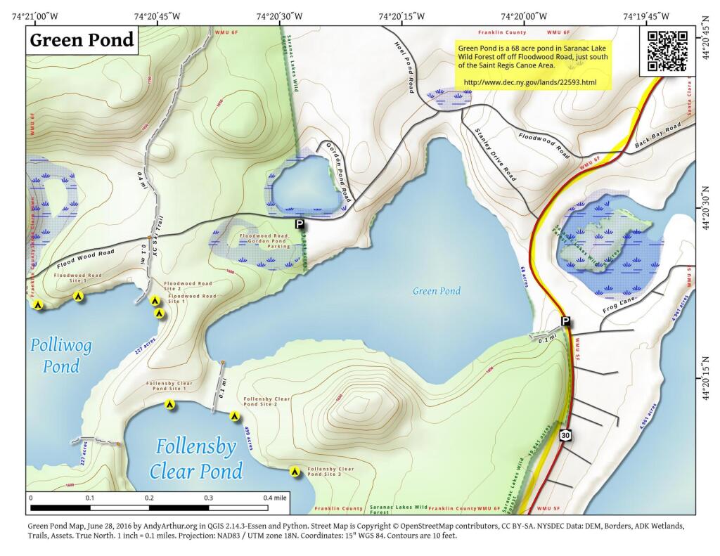
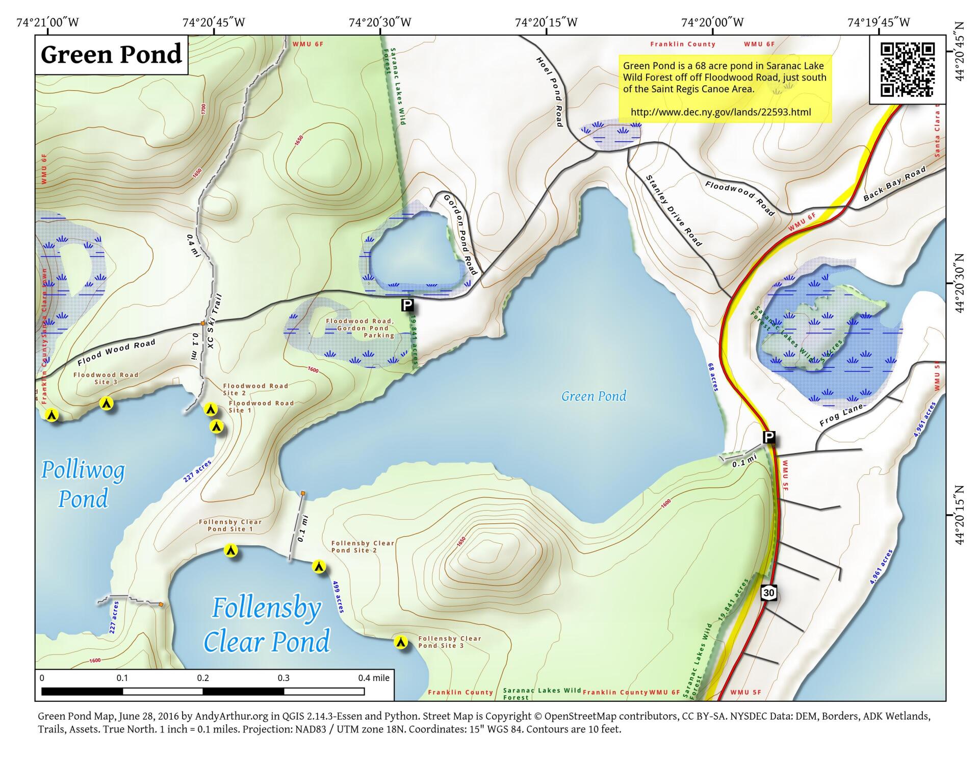
Map: Green Pond
Download a High Resolution JPEG Image of the Green Pond or an Adobe Acrobat Printable PDF of the Green Pond.

Bookmark my free Interactive GPS Map for your phone:
https://andyarthur.org/ny
... shows your location as a blue dot in relationship to campsites, trails, state land. This online map requires cell service, won't work in remote country, so also bring a paper map.
Free Download of New & Historical USGS 1:24k Topograpic Maps
Interactive maps with backcountry and roadside camping: New York, Pennsylvania, West Virginia & Vermont. List of NYS DEC Lean-Tos and Firetowers.
Google Spreadsheet with Roadside, Primitive and Pay Campsites
More about Floodwood Road...
Floodwood Road offers very popular, and highly regulated roadside campsites. Many of these campsites are on ponds such as Poliwog Pond, Floodwood Pond, and Middle Pond, and are drive-in accessible. They get very heavy use in the summer time. If you are planning to camp between June and September, consider the alternatives of Mountain Pond or Jones Pond to the north, which get much less use.
... photos, maps and other content from from Floodwood Road.