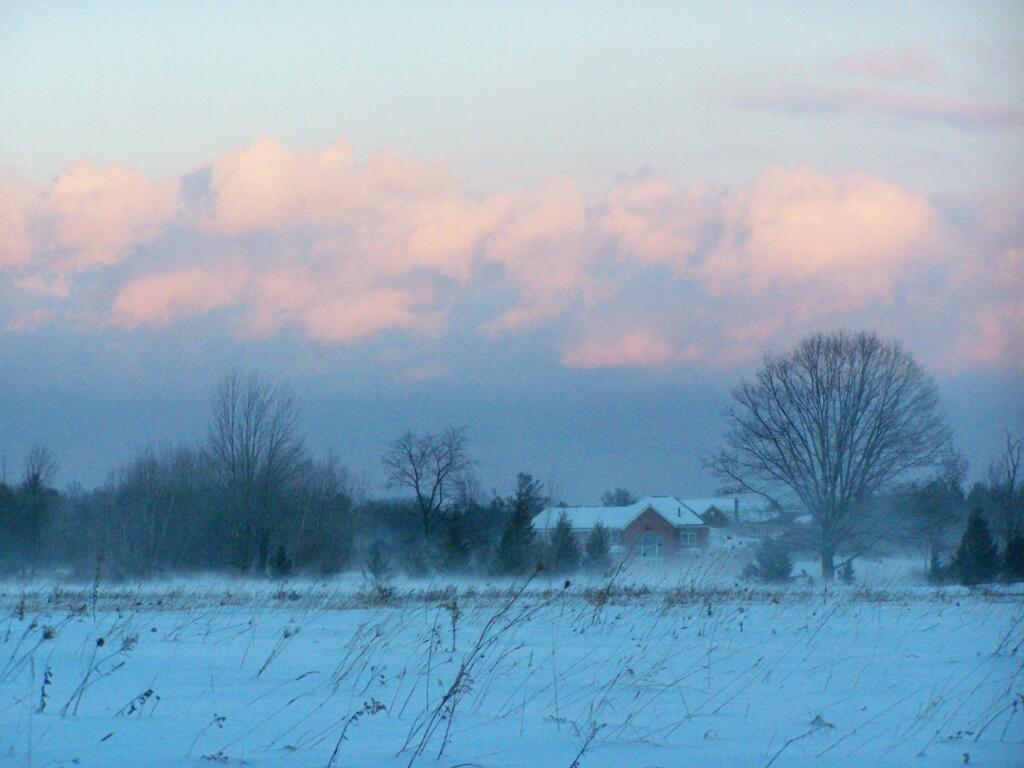
January 3, 2018 – Looking Ahead This Week
Some light snow tomorrow, then cold for the weekend. Sloppy mix for Monday into Tuesday, this could make the roads quite icy or it could just be wet and soggy. Generally a warming trend is expected by next week, although hardly bathing suit weather, as next week on average is the coldest of the year. At least the days are getting longer, with 75 days left until calendar spring.
| Weather Summary | ||||
|---|---|---|---|---|
| Tonight. | Mostly Cloudy then Slight Chance of Snow | 13 degrees | 5 max wind chill | 7:25 sunrise |
| Thursday. | Snow is likely and Areas Blowing Snow | 22 degrees | 2 max wind chill | 4:36 sunset |
| Thursday Night. | Chance of Snow and Areas Blowing Snow | 2 degrees | -15 max wind chill | 7:25 sunrise |
| Friday. | Cold | 6 degrees | -16 max wind chill | 4:37 sunset |
| Friday Night. | Mostly Cloudy | -7 degrees | -25 max wind chill | 7:25 sunrise |
| Saturday. | Cold | 1 degrees | -25 max wind chill | 4:38 sunset |
| Saturday Night. | Mostly Clear | -13 degrees | -22 max wind chill | 7:24 sunrise |
| Sunday. | Partly Sunny | 15 degrees | -22 max wind chill | 4:39 sunset |
| Sunday Night. | Chance of Snow | 10 degrees | 2 max wind chill | 7:24 sunrise |
| Monday. | Chance of Snow | 31 degrees | 8 max wind chill | 4:40 sunset |
| Monday Night. | Wintry Mix is likely | 24 degrees | 7:24 sunrise | |
| Tuesday. | Snow is likely then Chance of Rain/Snow | 34 degrees | 4:41 sunset | |
| Tuesday Night. | Mostly Cloudy | 10 degrees | -2 max wind chill | 7:24 sunrise |