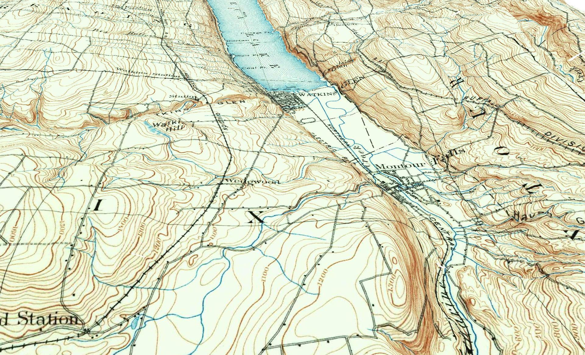
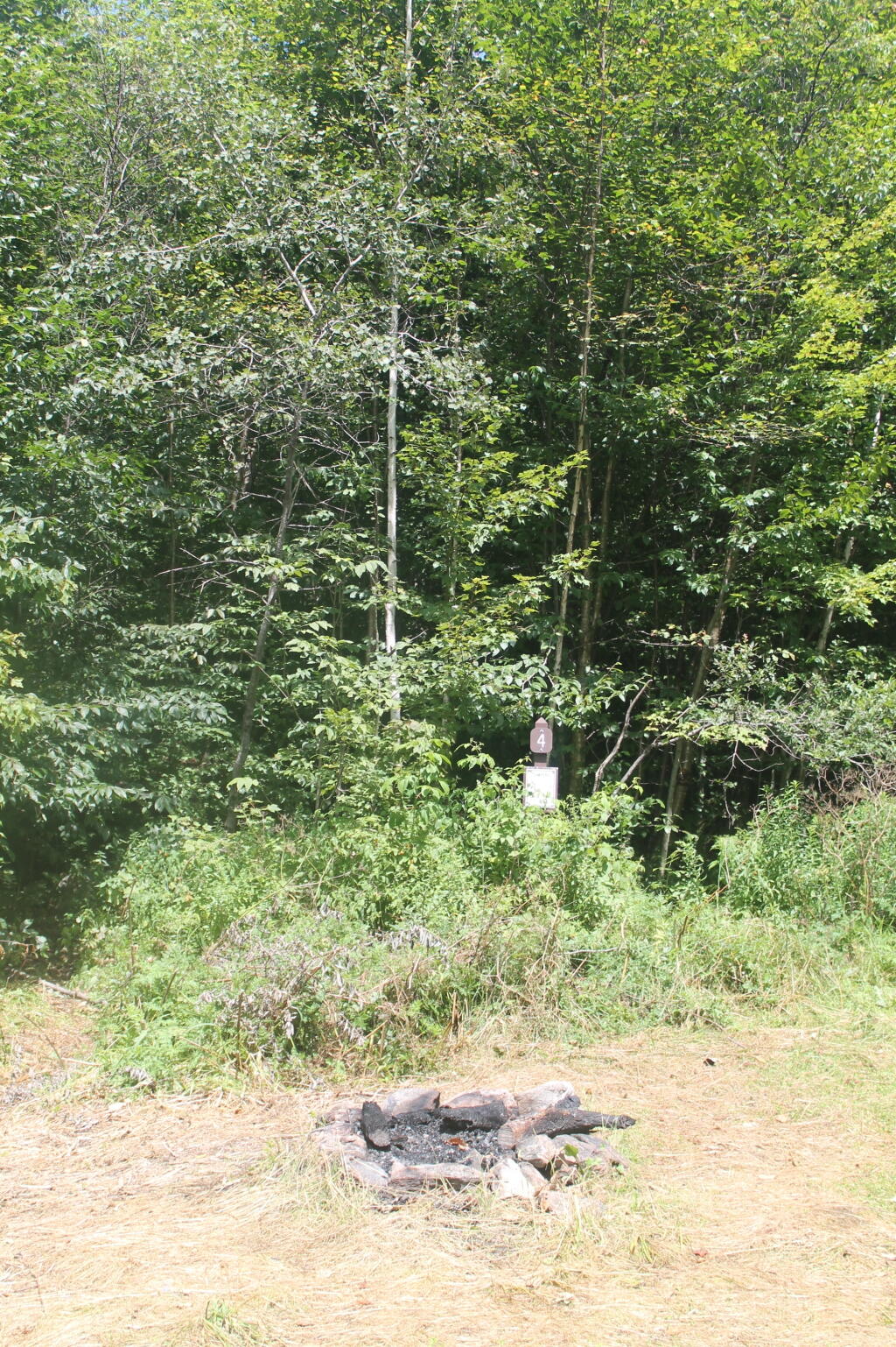
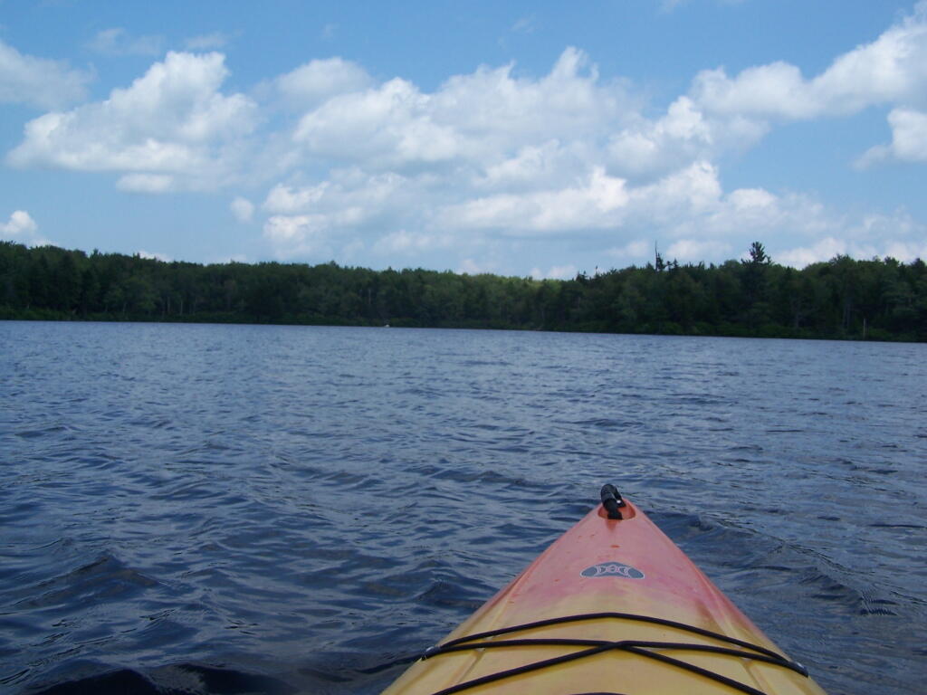
Here is a Leaflet/KML/Google Maps overview of Lean-tos and Primitive Campsites in an interactive map for NYS DEC Lands and Finger Lakes National Forest Lean-To data and many of campsites come from the NYS DEC, while additional data has been heads-up digitized based on my own exploration.
Helpful Hints: In the upper right corner, use the layer button to switch to US Forest Service Maps for more detail on forest service lands, or use the US Topographic Map DRGs to get traditional topographic maps from the USGS.
Updated on 3/14/2021 Incorporated additional data found on DEC ARC Map Server at gisservices.dec.ny.gov, adding 81 additional NY State campsites not found on this map.
Updated on 1/31/2021 Fixed overlaps between NYS DEC data and heads up-digitized campsites by myself. Also, re-created all the points in Speculator Tree Farm/Perkins Clearing by geo-referencing and plotting the official map to add campsites to correct locations.
Note: This was not available for a number of years due to the limitations of Google Maps, however since switching to Leaflet, it has made it possible to load in a larger number of points.
Here are the primitive campsites dataset broken into KML files 🏕 that are less then 1,000 points per file that are more friendly with Google Earth and similar services:
Catskills, Central NY, Western NY - generally campsites South of the Mohawk River / Erie / Barge Canal, extended east by an imaginary line to the Vermont - Massachusetts border.
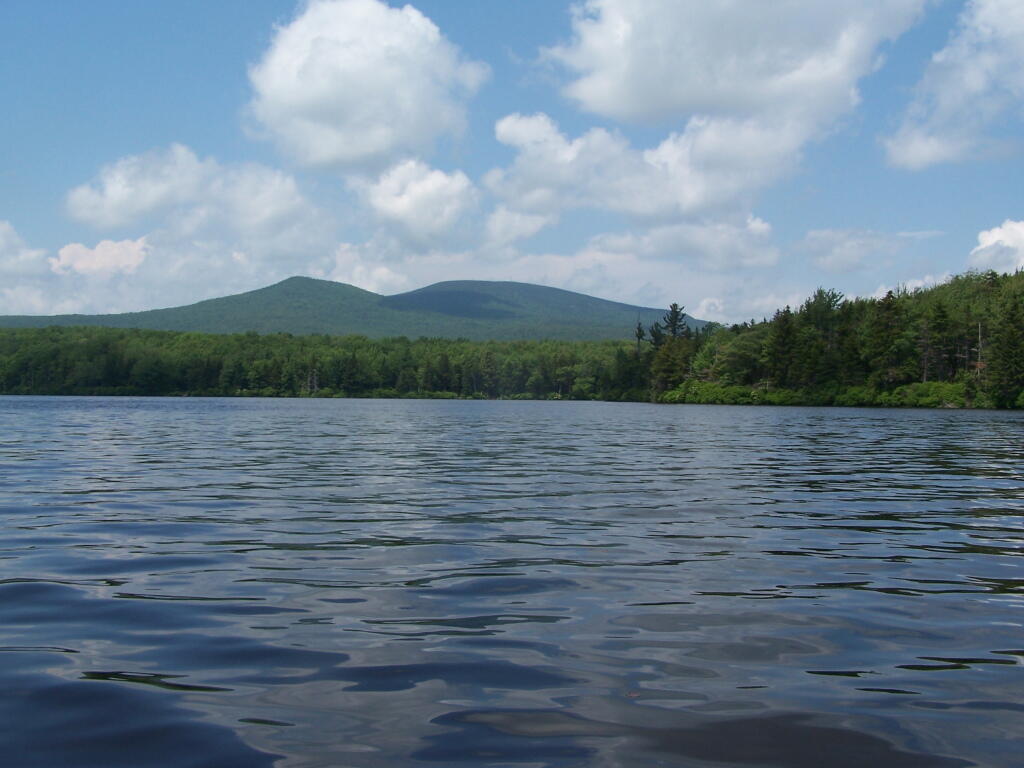
Southern Adirondacks and Tug Hill - generally campsites North of the Mohawk River / Erie / Barge Canal but South of NY 177 (Tug Hill) to NY 26 to Moose River Road to NY 28 to NY 28N to Blue Ridge Road to Johnson Pond Road to NY 74 to Ticonderoga. Includes Tug Hill, Black River WF, Moose River Plains, Wilcox Lake WF, Hammond Pond WF, Vanderwhacker, Cheney Pond, and Pharaoh Lake WF.
North Adirondacks and Tug Hill - generally campsites North of NY 177 (Tug Hill) to NY 26 to Moose River Road to NY 28 to NY 28N to Blue Ridge Road to Johnson Pond Road to NY 74 to Ticonderoga. Includes White Hill SF, Grass River, Pigeon Lake, Ha-De-Ron-Dah, Sargent Ponds, Blue Lake, High Peaks, Five Ponds, Watsons Triangle, St. Regis Canoe, McKenzie, Debar Mnt, Taylor Pond, Valcour Island, Deer River, Brasher Falls, Hammond Pond WF (North of NY 78)
Here are the primitive campsites dataset broken into KML files 🏕 that are less then 1,000 points per file that are more friendly with Google Earth and similar services:
Catskills, Central NY, Western NY – generally campsites South of the Mohawk River / Erie / Barge Canal, extended east by an imaginary line to the Vermont – Massachusetts border.
Southern Adirondacks and Tug Hill – generally campsites North of the Mohawk River / Erie / Barge Canal but South of NY 177 (Tug Hill) to NY 26 to Moose River Road to NY 28 to NY 28N to Blue Ridge Road to Johnson Pond Road to NY 74 to Ticonderoga. Includes Tug Hill, Black River WF, Moose River Plains, Wilcox Lake WF, Hammond Pond WF, Vanderwhacker, Cheney Pond, and Pharaoh Lake WF.
North Adirondacks and Tug Hill – generally campsites North of NY 177 (Tug Hill) to NY 26 to Moose River Road to NY 28 to NY 28N to Blue Ridge Road to Johnson Pond Road to NY 74 to Ticonderoga. Includes White Hill SF, Grass River, Pigeon Lake, Ha-De-Ron-Dah, Sargent Ponds, Blue Lake, High Peaks, Five Ponds, Watsons Triangle, St. Regis Canoe, McKenzie, Debar Mnt, Taylor Pond, Valcour Island, Deer River, Brasher Falls, Hammond Pond WF (North of NY 78)
Geographic Information Services (GIS) – Maps – Cartography
I am an amateur cartographer who designs maps and does a wide variety geospatial analysis using free and open-source geographic information software (GIS) and public sources of data to design quality maps, graphs, charts and datasets. I am looking for new and interesting projects to improve my skills, make connections and expand my portfolio.
Are you looking for my personal blog with it’s hiking, camping and outdoor recreation maps, along with a variety of charts, photos, and stories? Please visit andyarthur.org.
Mapping Avaliable
Tax/Property Mapping
High Resolution Aerial Photography
Recreational Maps – Hunting, Camping, Hiking
Georeference addresses using State Address Mapping service, plot them on a map
Wetlands, Topographic Contours, Land Cover
Compare historical aerial photos or maps to current photography
Web mapping using leaflet (HTML/Javascript file to embed on a website or use at home)
For most projects, there is no fee. I am looking for experience, references, mentors and connections in the geospatial community.
If you have a large project, let’s talk about it. I might be willing to do it for free, if it’s something really interesting or important like fighting suburban sprawl and pollution. I don’t a business or taxes set up, so I can’t really charge at this point.
How to get started?
Please send me an email describing the mapping or data project in as much detail as possible.
US Census – 2019 American Community Survey, 2020 US Census
NYS Tax and Assessment Rolls (2020)
NYSDOT Traffic Counts and Road Data
Historical Aerial Photography (primarily 1952, but earlier and later exist)
ArcGIS REST/Services and WMS Services from state and local agencies
LiDAR Elevation Profiles
USGS Topographic Maps, historic and modern – with overlays if requested
Data Repositories like CUGIR, DataNY.gov and NYSGIS
Recreation data from NYSDEC
Software Used
Quantum GIS (QGIS) including 3D Mapping
Geodata Abstraction Library (GDAL, ogr2ogr)
Python, including the data-science libraries PANDAS and GeoPANDAS
LeafletJS Web Mapping Services
Geographies Avaliable
Primary Capital Region and also much of New York State, also some for Pennsylvania, Vermont, West Virginia
State, county, municipal, school districts – Most data sets
Parks, highways, buffer (distance to) – Most data sets
Election districts – Roughly 75% of NYS counties
Census Tract or Blockgroup – 2019 American Community Survey
Tabulation Block – 2020 US Census
Are printed maps avaliable at this time?
Not currently. I can send you a file based on your specifications to print at your local print shop.
How long do mapping projects take?
Depends on complexity of the project. Many projects only take minutes, however if a project requires georeferencing, data cleaning, or custom shapes or layouts, it might take significantly longer. More revisions lead to better quality output.
Do you make maps professionally?
No! This is just a hobby. But I’m interested in expanding my skills. I do a lot of mapping for my blog and in support of community organizations like Save the Pine Bush.
Are my maps of good quality?
Thats for you to decide. I don’t have formal education in map making, and I don’t have professional tools. But do take a look at the work I’ve done below.
Examples of Maps
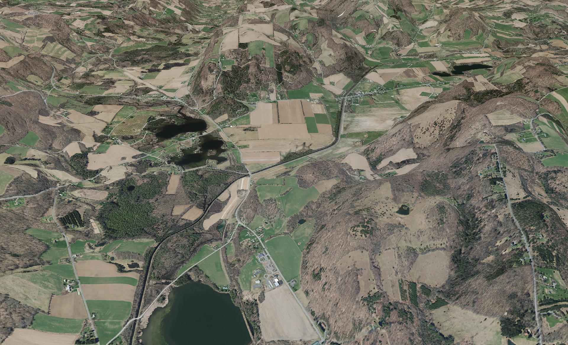
This shows a 3D rendering of the Buckville Canal north of Hamilton
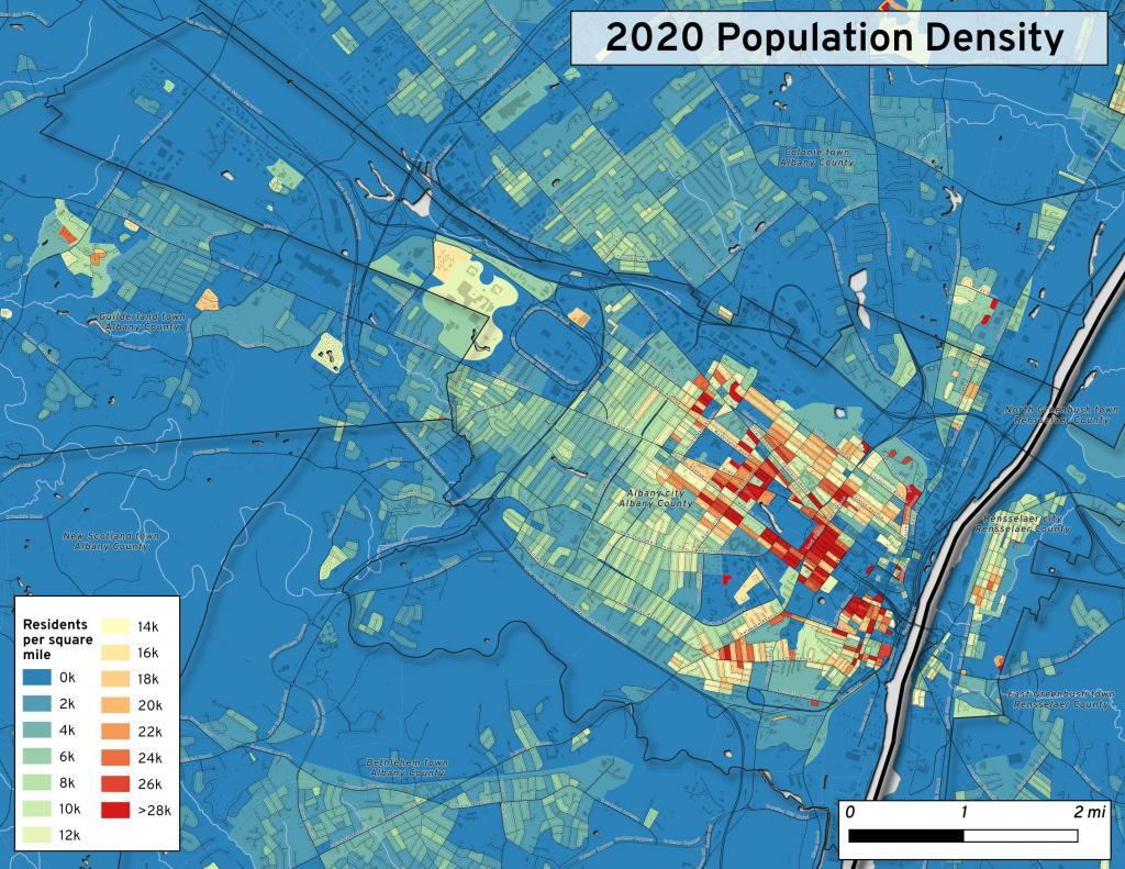
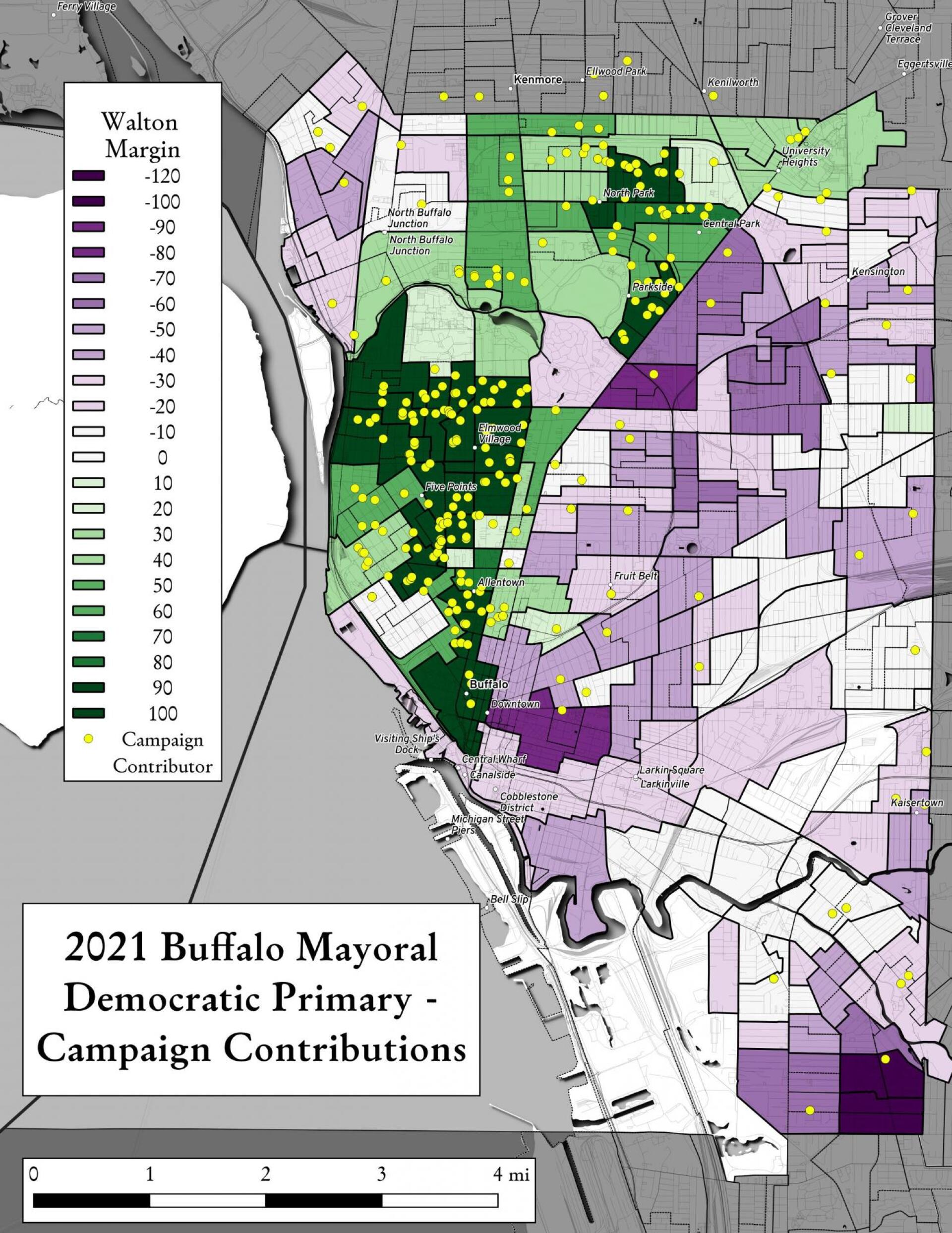
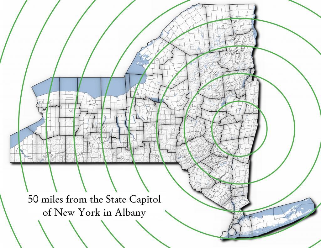
This map shows the use of 2020 PL 94-171 data to calculate population density in City of Albany.
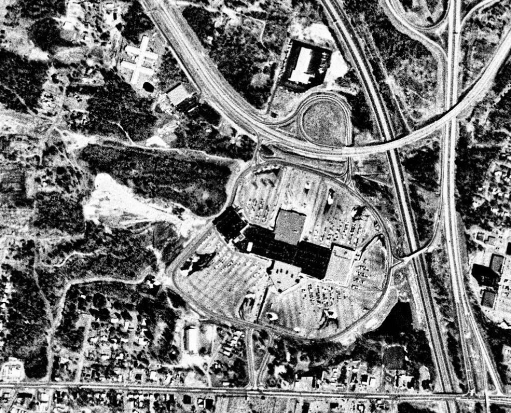
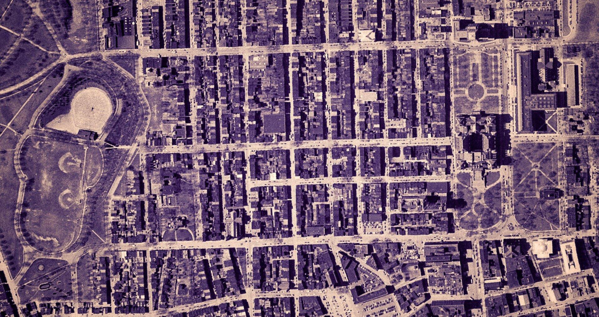
This 1985 aerial photo shows Crossgates Mall prior to it’s expansion.
This GIF image shows the change in unemployment during Coronavirus panademic.
This image shows hiking trails near Brooktrout, Falls Pond and Deep Lake.
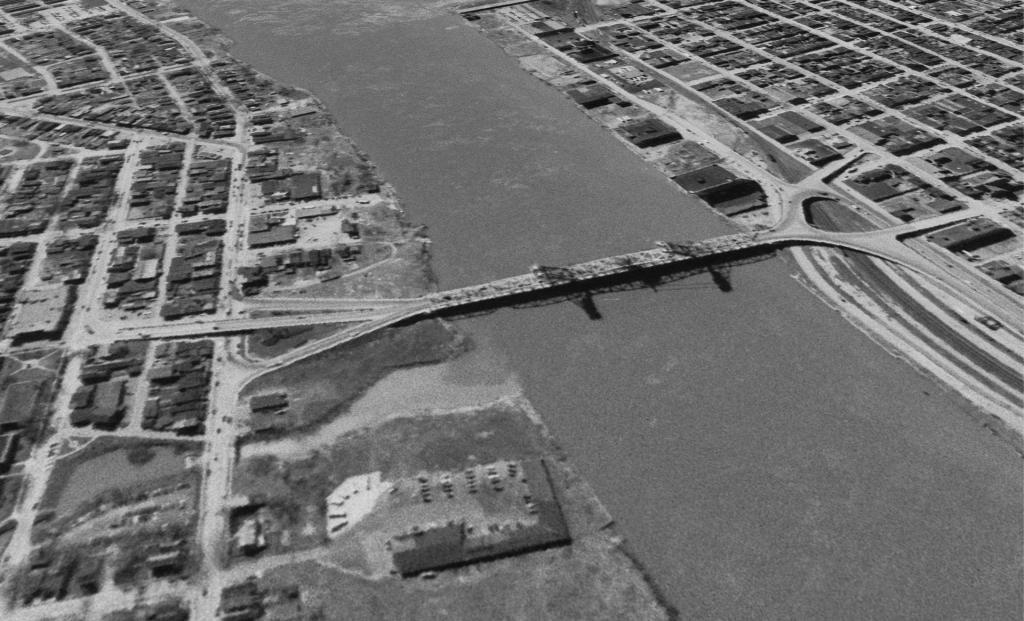
Peebles Island, a Comparison 1952
3D Interactive of campsites at Moose River Plains.
import pandas as pd
import geopandas as gpd

# path to overlay shapefile
overlayshp = r'/tmp/dis_to_albany.gpkg'

# summary level -- 750 is tabulation block, 150 is blockgroup
# large areas over about 50 miles much faster to use bg
summaryLevel = 150
#summaryLevel = 750

# path to block or blockgroup file
if summaryLevel == 150:
    blockshp = r'/home/andy/Documents/GIS.Data/census.tiger/36_New_York/tl_2020_36_bg20.shp.gpkg'
else:
    blockshp = r'/home/andy/Documents/GIS.Data/census.tiger/36_New_York/tl_2020_36_tabblock20.shp.gpkg'

# path to PL 94-171 redistricting geoheader file
pl94171File = '/home/andy/Desktop/nygeo2020.pl'

# field to categorize on (such as Ward -- required!)
catField = 'Name'

# geo header contains 2020 census population in column 90
# per PL 94-171 documentation, low memory chunking disabled
# as it causes issues with the geoid column being mixed types
df=pd.read_csv(pl94171File,delimiter='|',header=None, low_memory=False )

# column 2 is summary level
population=df[(df.iloc[:,2] == summaryLevel)][[9,90]]

# load overlay
overlay = gpd.read_file(overlayshp).to_crs(epsg='3857')

# shapefile of nys 2020 blocks, IMPORTANT (!) mask by output file for speed
blocks = gpd.read_file(blockshp,mask=overlay).to_crs(epsg='3857')

# geoid for linking to shapefile is column 9
joinedBlocks=blocks.set_index('GEOID20').join(population.set_index(9))

# store the size of unbroken blocks
# in case overlay lines break blocks into two
joinedBlocks['area']=joinedBlocks.area

# run union
unionBlocks=gpd.overlay(overlay, joinedBlocks, how='union')

# drop blocks outside of overlay
unionBlocks=unionBlocks.dropna(subset=[catField])

# create population projection when a block crosses
# an overlay line -- avoid double counting -- this isn't perfect
# as we loose a 0.15 percent due to floating point errors
unionBlocks['sublock']=unionBlocks[90]*(unionBlocks.area/unionBlocks['area'])

# sum blocks in category
unionBlocks=pd.DataFrame(unionBlocks.groupby(catField).sum()['sublock'])

# rename columns
unionBlocks=unionBlocks.rename({'sublock': '2020 Census Population'},axis=1)

# calculate cumulative sum as you go out each ring
unionBlocks['millions']=unionBlocks.cumsum(axis=0)['2020 Census Population']/1000000

# each ring is 50 miles
unionBlocks['miles']=unionBlocks.index*50

# output
unionBlocks
Land use in town of Berne (from 2016 National Land Cover Dataset)
Most highly assessed properties in Albany County …
I’m a big of farmers who are essentially Living Off the Earth and think Rednecks are Noble Savages. Dairy Farming are key to our rural landscape. I’d trust a farmer or a hunter in a pile of guts he’s butchered over any ivory-tower scientist.
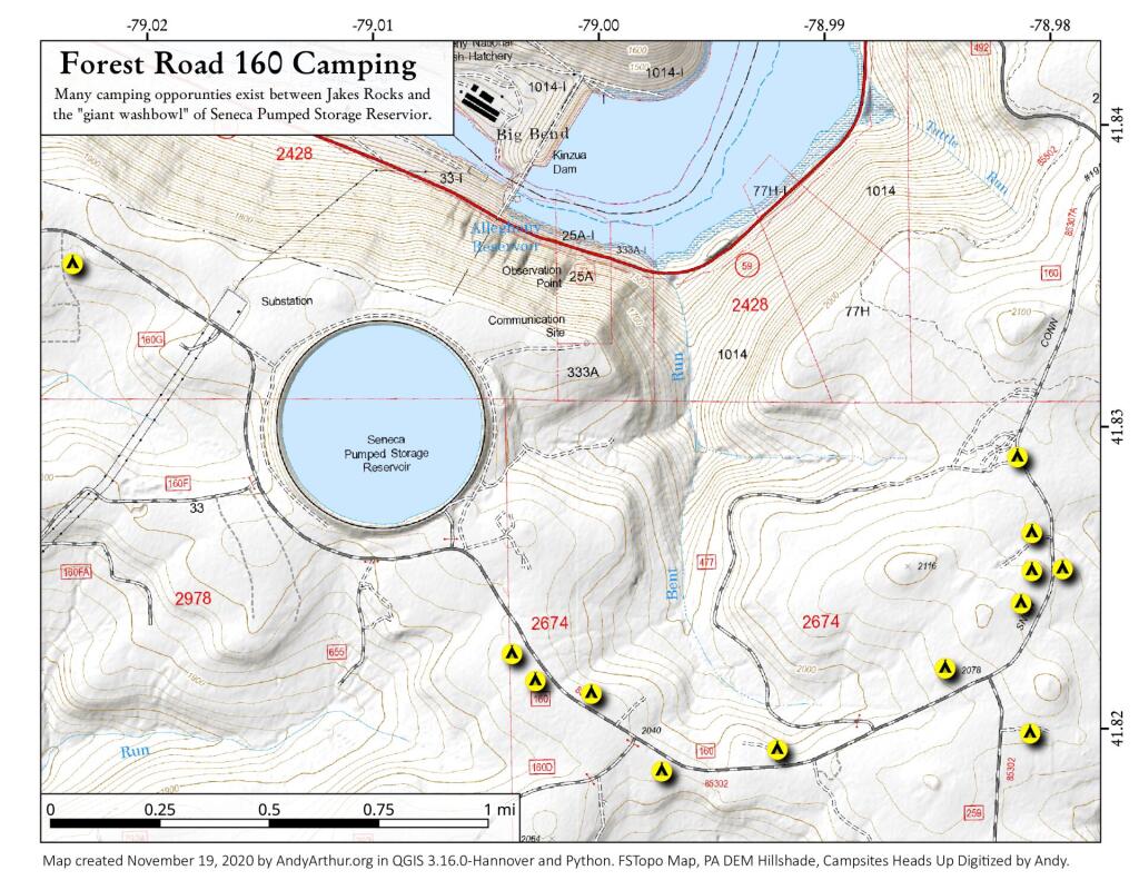
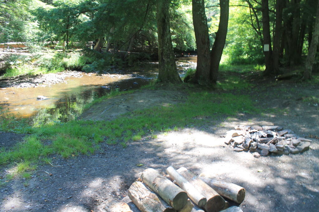
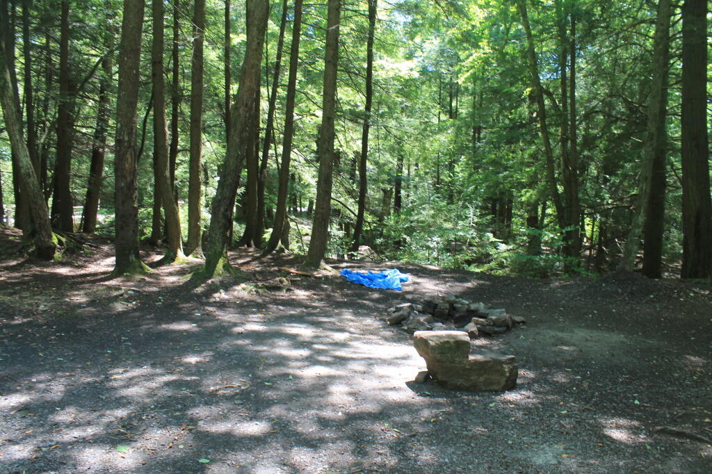
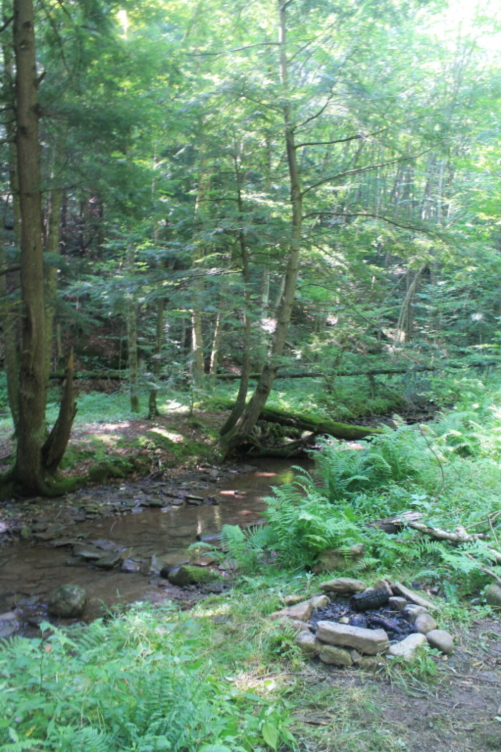
Allegheny National Forest Dispersed Campsites (shown on this map with a round Yellow Camp logo) are free-to-use with a 14-day stay limit in any 30 day period. Many of these campsites are informal areas used for camping, others like along Forest Road 160 and 259 near Jake’s Rocks and along Lolita Grade have enhanced gravel pads/parking areas. Unlike New York State, they do not have formal markings at the sites. More detailed map.
In the Allegheny National Forest there are a variety of back country roads, offering primitive roadside camping.
Campsites are free to use, and have no facilities except for a fire ring and a pull-off from the road, and sometimes a site reinforced with gravel.
As noted below, some campsites have additional facilities.
Don’t make a mess of campsites, pack out any garbage left over.
Burn only dead and down trees, don’t bring in wood from out of state.
You can camp up to 14 days per 30 day period in Allegheny National Forest — no permits are required.
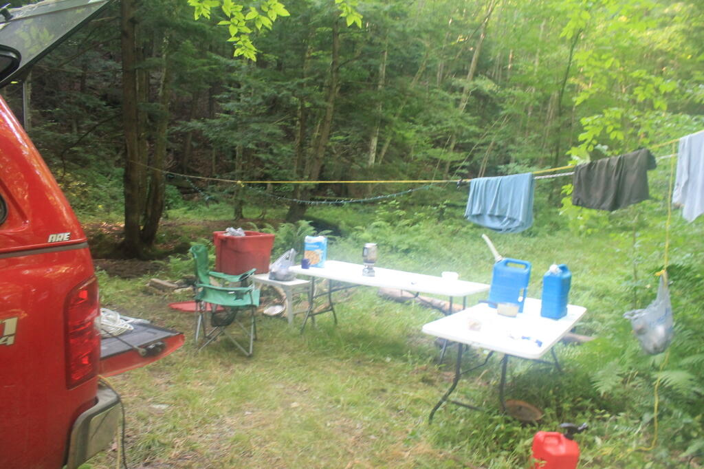
Forest Road 160/259 is the most popular dispersed camping area near Jakes Rocks and the Allegheny Reservior. Above are some campsites in this area. Many of these campsites have gravel parking areas and hardend campsites.
There are several campsites along Loleta Grade, south of Lamonaville (FR 131). This is on the backside of Buzzard Swamp Wildlife Refuge, and is a much more wilderness experience. Many of these campsites have gravel parking areas and hardened campsites. Some of the campsites along the Gurgling Run can be buggy during the summer month, but get much less use then the Jakes Rocks area. Be aware that Forest Road 131 from Loleta Recreation Area to Forest Road 288 is permanently closed due to damage after Superstorm Sandy.
There is a handful of campsites along Fire Road FR 137 along the Dry Run and Whitney Creek near the Willow Creek ATV Area.
There are a handful of campsites along the East Tionesta Creek south of Kane/Shefield.
There are many other roads that have camping but these are some of my favorite locations.
More About DCNR Motor Vehicle Camping …
On Pennsylvania State Forests there are a variety of back country roads, offering primitive roadside camping.
I have not done a lot of DCNR Motor Vehicle Camping, but above is a picture from 2012 when I spent half a week truck camping at Painter Run in the Tioga State Forest near the Pennsylvania Grand Canyon. There are many other opportunities as can be seen above, if you plan ahead and get your permit.
Also, see the DCNR Interactive Map if you are interested in fee campgrounds. They have several “rustic” campgrounds which are inexpensive at $10 night, and do not require reservation. These are traditional campgrounds with hand pump water, pit privies and no electricity but often are well maintained and quiet — although the campsites aren’t spread out like back country camping. Many of these campsites are lightly used off-season and are often a good place to spend a night when traveling.
Allegheny National Forest Dispersed Campsites are free-to-use with a 14-day stay limit in any 30 day period. Many of these campsites are informal areas used for camping, others like along Forest Road 160 and 259 near Jake's Rocks and along Lolita Grade have enhanced gravel pads/parking areas. Unlike New York State, they do not have formal markings at the sites. More detailed map.
PA DCNR Motor Vehicle Campsites are free to stay at with a permit which can be obtained from the local DCNR Forestry office (click on the black dot) during ordinary business hours or by emailing/calling their office with your license plate and contact information.
The below descriptions of camping areas from the Green Mountain National Forest’s webpage, General Forest Camping.
North Half of the Green Mountain National Forest
Note: You must zoom in to see individual roads on above interactive map. Campsite locations were added by hand-digitizing and are not exact.
Austin Brook Road: There are three easily accessible campsites by Austin Brook on Forest Road 25 in Warren. They are all within 0.25 mile of State Route 100.
Bingo: Forest Road 42 in Rochester runs alongside a mountain stream; camping is allowed at designated sites only. These 10 campsites are available on a first-come, first-served basis. There is a limit of 10 people per site. Check the Bingo Brook bulletin board for designated site locations and other site limitations.
Downingville: There is one secluded site in a small clearing near a mountain stream on Forest Road 291 in Lincoln.
Fay’s Meadow: There are a few sites in an open meadow in Forest Dale. Please do not drive on the meadow because a farmer mows the hay from it. There is a stream for wading and fishing at the north end of the meadow.
Goshen Brook Road: There are a few campsites in and around an open area just beyond the turnaround at the very end of Forest Road 67 in Ripton.
Kettle Brook: A small meadow site at the end of Furnace Brook Road in Pittsford.
Michigan Brook Road: Forest Road 35 in Pittsfield provides many camping opportunities in the woods and along Michigan Brook. The road is not recommended for low clearance vehicles.
New HavenRiver: There are a few campsites next to the New Haven River at Emily Proctor and Cooley Glen trailhead, on Forest Road 201 in Lincoln.
Romance Header: A large meadow campsite at the end of Forest Road 224 in Forest Dale. A stream lies to the southeast of the meadow.
Sparks Landing: There is one site in a small meadow on Forest Road 233 in Lincoln. There is good fishing in Sparks Brook, which lies just south of the meadow.
Steam Mill Clearing: There is a large open field on both sides of Forest Road 59 at the Skylight Pond Trailhead in Ripton.
Texas Gap: These old fields and side roads on Forest Road 39 in Hancock offer many camping opportunities.
White River & Gulf Brook Roads: Secluded camping, open fields, and beautiful views are offered from the abundance of primitive campsites found along Forest Roads 55 & 101 in Granville.
South Half of the Green Mountain National Forest
Note: You must zoom in to see individual roads on above interactive map. Campsite locations were added by hand-digitizing and are not exact.
Branch Pond Road: Several sites on this road off of Kelley Stand offer good camping opportunities.
Forest Road 71: This forest road stretches from the old Somerset airfield to the Kelley Stand Road. Campsites can be found in various spots along the way, and along some of the forest roads leading off of Forest Road 71.
Forest Road 74: This forest road is a little less remote than other roadside camping opportunities. Off Vermont Route 9, it dead-ends a couple miles in. Campsites are found unevenly spaced along the way. This area fills up early as it’s one of most accessible.
Kelley Stand Road: Connects the towns of Arlington to West Wardsboro, traveling along an unpaved forest road. A handful of campsites are avaliable on this road, many of the sites along Roaring Brook are permanetly closed.
Old Job: Off Forest Road 30 there are a few camping opportunities; an open area along FR 30, and both an open field area and a site near Lake Brook at the end of FR 30.
Somerset Airfield Campground is a small primitive campground along Forest Road 71. There is a pit-privy and fireplaces in this field camping area. Also popular is Castle Brook Road, near the Deerfield River. This area fills up early, and is known for rowdy crowds but is good if you have a big camper.
From the east, probably the best way to get to Grout Pond is via Kelley Stand Road, a twisty one lane dirt road that heads east out of East Arlington in Vermont. Pay careful attention to this map, it’s easy to get lost in East Arlington or East Kansas. I know I ended up at Covered Bridge in Chiselville the first time I got there.
Grout pond isn’t the biggest in the world. If you want lots of open water, check out the Somerset Reservoir. This area, however offers either backpack-in camping along the east shore, or 25 drive-in campsites, in a primitive campground nearby. There is no charge to use this National Recreation Area. Other roadside campsites along Kelly Strand Road, FR 71, and FR 70. Forest Road 70’s campsites are particularly nice, and it’s a 1/4 mile portage down to Branch Pond (bring wheels).
The lake is very shallow and marshy in one. Supposedly good fishing if you have a Vermont State Fishing License.


 Bicycle Trails and “Blackie” My Mountain Bike


 Python and Pandas


 Politics

 The Earth


 Saving Money


 Mission Fifty & Being Healthier


 / Enjoying Life


