Search Results for: google maps pa state forests

DEC Region 7 South

Interactive Google Map consisting of federal, state, local, and non-governmental public lands and parks within the following counties in DEC Region 7 South: Broome, Chenango, Cortland, Tioga and Tompkins counties. Up to 5 additional counties (for a total of ten) can be added to the map. Data can be downloaded as KML and GPX Tracks and Waypoints for use in Google Earth or handheld GPS units.

Updated March 25, 2017. New to this update are trail data for Buttermilk Falls State Park, Robert Treman, and Taughannock Falls State Park. New lean-tos, campsites, parking areas, and trails, roads added to state forests. Minor adjustments to state land boundaries.

Philosophy of the Adirondack Park vs Allegheny National Forest

There are probably not two different public lands in the Northeastern United States that are more different then the Adirondack Park and the Allegheny National Forest.

Looking Back at Trout Lake Mountain

The Adirondack Park’s Forest Preserve is one of the country’s largest wild forests, which basically is a wilderness area with very limited roads and motorized recreation or activity. Over half of the forest is totally free of motors of all sorts, from cars, trucks, boats, ATVs, and snowmobiles, to even generators used up at camp. No trees can ever be cut in Adirondack Forest Preserve, most uses and recreation are limited to current uses, and only are to become more restictive in the future. All use is strictly controlled by detailed regulations created by the State Department of Environmental Conservation and AdirondacK Park Agency, and public use is very restricted.


View Larger Map

The Allegheny National Forest has extensive road system, is extensive logged, and used for oil and natural gas production. It offers extensive developed recreation, including dozens of campgrounds, several ATV trails, hundreds of miles of truck trails and other roads, boat launches, and basically any other use one can imagination for a public lands. It literally has more oil and gas wells then all other USDA-administer National Forests across the nation, combined. The land is largely on a grid, and where it’s not, the land has many roads following natural contours. Wilderness areas are a relatively small portion of the area.

Buck Mountain in West Canada Wilderness

Which philsopohy of land management is better?

Environmental purists would prefer the park, because the landscape is more prestine, and vastly less trambled by man. Man-made uses, such as roads and roadside-campsites are limited largely to near roads, and wilderness areas have limited trails, with only a few lean-tos and backcountry campsites.

Looking Back to Wakely Dam

Conservationists in many cases would prefer the Allegheny National Forest. They would note the diversity of land uses, and that while it’s a largely wild landscape, with people primarily coming to visit, it also provides our economy with valuable products, such as timber, oil and gas. Recreational activities like all-terrian vehicles, scenic driving, and camping are offered, far more extensively then in New York Forest Preserve.


View Larger Map

I sometimes cringe when I look at the aerial photographs of Allegheny National Forest, or study the road maps. It looks like the entire ecosystem and forest is engineered. You can see the impacts of oil and gas drilling, and timber production — both which require a lot of roads, that don’t exist in Adirondack Park.


View Larger Map

However, due to lack of roads, and lack of facilities in most of Adirondack Park, use of land is largely limited to areas within 5-10 miles of existing public roads. A lot of true backcountry is too far back to pratically expect most people to ever go. Some activities — like ATV riding on public lands is non-existent. Camping activities are fairly restricted to designated spots along roadsides, at state campgrounds, and certain back country locations.

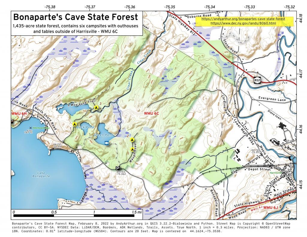
Bonaparte\'s Cave State Forest

While there is a lot to like about having some wilderness areas — like the Adirondack Park, when you review the regulations and policies the state has created for the goverence of the park, you have to wonder if they have gone too far. Some true wilderness areas are wonderful, but are there too much wilderness? Do restrictions on development of public lands leave too much restricted?

Wilcox Lake Wild Forest

I don’t know. The Adirondack Park is a delight, a great wild space, but it does seem sometimes that are state goes too far in restricting public use, and walling off all the lands from ever having any timber cut, or any new facilities developed under public demand.

Ranking the Size of State Parks, Wild Forests, Wilderness, Other Lands

For the sake of comparison, I made up maps ranking Wilderness, Wild Forests, other DEC Lands (State Forests/WMAs, etc), and State Parks. The largest parcels to smallest parcels are pink, then red, orange, yellow, green, blue, purple — colored based on comparison to other parcels of the same class. Click on them to see acreages, or click on the link below to see on Google Maps, which includes each parcel sorted by acreage.

‘ ?>

Wilderness Areas Ranked.


View Larger Map

Wild Forests Areas Ranked.


View Larger Map

Other DEC Lands Ranked.


View Larger Map

State Parks Areas Ranked.


View Larger Map ‘ ?>

NY State Nature and Historical Preserve

New York State has the well known Forest Preserve in Adirondacks and Catskills (provided for in Section 1) and State Forests and Wildlife Management Areas (provided for in Section 2) outside of the Blue-line designated Forest Preserve Boundaries. Yet, on November 4, 1969 the voters of New York State admended the consitution to add a new section that called for a new type of land — The State Nature and Historic Preserve — now managed by the new Department of Environment Conservation.

Article XIV Section 4:Protection of natural resources; development of agricultural lands.

The policy of the state shall be to conserve and protect its natural resources and scenic beauty and encourage the development and improvement of its agricultural lands for the production of food and other agricultural products.

The legislature, in implementing this policy, shall include adequate provision for the abatement of air and water pollution and of excessive and unnecessary noise, the protection of agricultural lands, wetlands and shorelines, and the development and regulation of water resources.

The legislature shall further provide for the acquisition of lands and waters, including improvements thereon and any interest therein, outside the forest preserve counties, and the dedication of properties so acquired or now owned, which because of their natural beauty, wilderness character, or geological, ecological or historical significance, shall be preserved and administered for the use and enjoyment of the people.

Properties so dedicated shall constitute the state nature and historical preserve and they shall not be taken or otherwise disposed of except by law enacted by two successive regular sessions of the legislature.

Since 1969, only 35 facilities have been added to the State Nature and Historic Preserve. While most of these properties are not contigous, they consist of some the most interesting public lands in NY State.

Zoom in to see the specific properties.

Here is a list of the properties, sorted by alphabetical order.

State Nature and Historical Preserve Acres
ALBANY PINE BUSH PRESERVE 1581.3
BARE HILL UNIQUE AREA 400.9
BOG BROOK UNIQUE AREA 131.7
BRANDOW POINT UNIQUE AREA 62.9
CAMILLUS FOREST UNIQUE AREA 351.5
CARPENTER FALLS UNIQUE AREA 38.2
CASTLE ROCK UNIQUE AREA 130.2
CROTON GORGE UNIQUE AREA 20.9
DAVID A. SARNOFF PINE BARRENS PRESERVE 2,572.5
EDGEWOOD OAK BRUSH PLAINS PRESERVE 729.6
HAWK WATCH TRAILWAY 5.0
HENDERSON SHORES UNIQUE AREA 890.3
JUNIUS POND UNIQUE AREA 105.1
KOWAWESE UNIQUE AREA 165.0
LABRADOR HOLLOW UNIQUE AREA 1464.4
LITTLE GALLOO ISLAND UNIQUE AREA 44.8
LONG ISLAND PINE BARRENS 581.2
MIDDLE GROUND FLATS UNIQUE AREA 372.4
MOUNT LORETTO UNIQUE AREA 211.0
NELSON SWAMP UNIQUE AREA 889.7
NEVERSINK RIVER UNIQUE AREA 6,579.9
OLD WESTBURY CONSERVATION-UNIQUE AREA 31.7
ONONDAGA ESCARPMENT UNIQUE AREA 52.3
RAYWOOD UNIQUE AREA 316.5
REINSTEIN WOODS NATURE PRESERVE AND ENVIRONMENTAL EDUCATION CENTER 270.6
ROME SAND PLAINS UNIQUE AREA 1,786.3
RUSH OAK OPENINGS UNIQUE AREA 230.6
SALMON RIVER FALLS UNIQUE AREA 112.4
SPLIT ROCK UNIQUE AREA 34.1
SQUAW ISLAND UNIQUE AREA 0.2
THE GULF UNIQUE AREA 605.5
ZOAR VALLEY UNIQUE AREA 995.6
Total State Nature and Historical Preserve 21,764.5

Brasher Falls State Forest

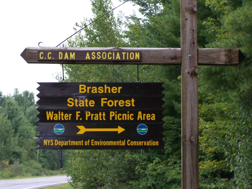
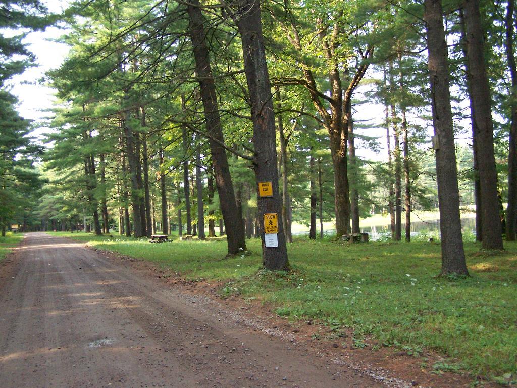
There are two camping areas in Brasher Falls: The Tri-Town Equestrian Assembly-area (field camping) off Truck Trail 901, north of DEC Maintenance Garage, and a 21-site Drive-in Camping Area known as the CC Dam Association / Walter F Pratt Memorial Forest at Redbrook River Dam. The CC Dam Association area is maintained by a group of local volunteers, and offers many amenities not found at most primitive camping areas. It also staffed by volunteers on weekends.

Brasher Falls Sign

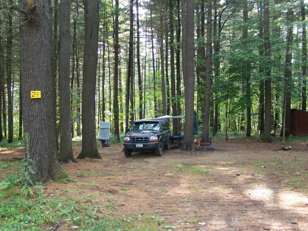
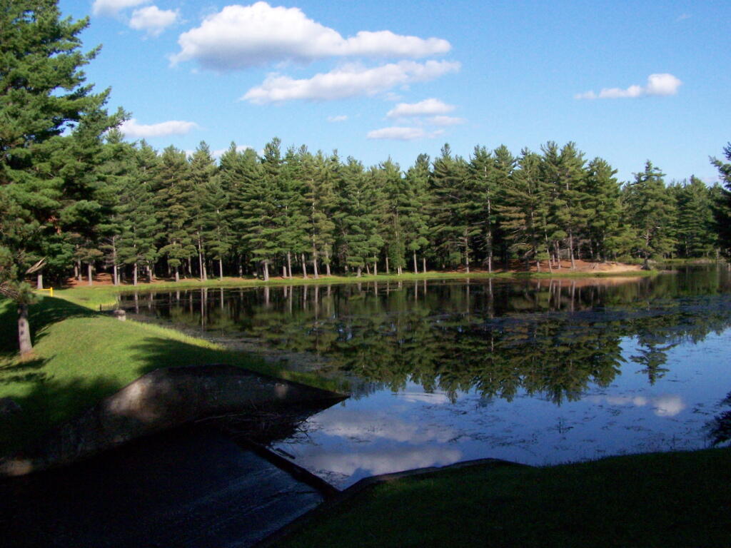
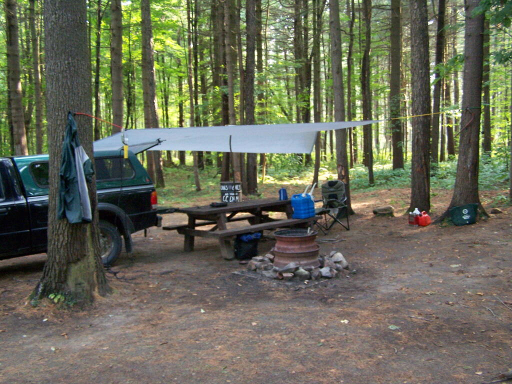
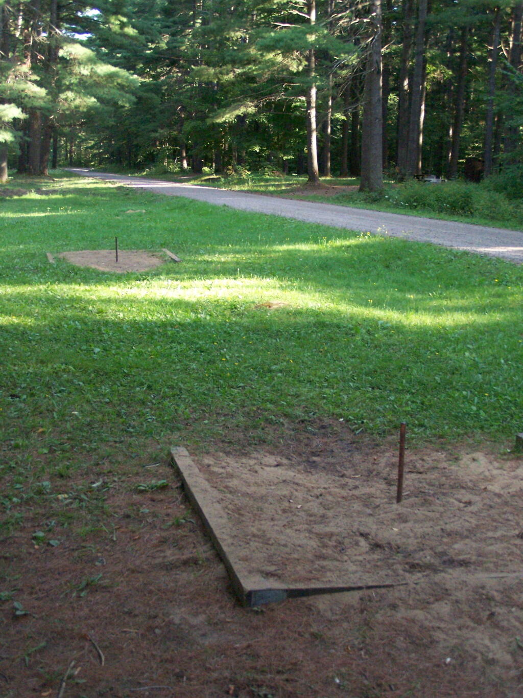
Like Moose River Plains, all of the sites are hardened with gravel, have picnic tables, and outhouses. They are a short walk from a man-made lake, consisting of the Redwater Brook (red from iron in water), which was damned up by the Civilian Conservation Corps. Swimming is allowed. There is a horseshoe pit. There is a hand pump for water, although it says “Non-Potable Water”, so boil first. Many of the sites are pretty close together (25 sites on 1/2 mile of road, only one side), with somewhat limited screening. On weekdays in summer, when I camped there, it was little used.

Campsite 21

Nearby there are dozens of miles of truck trail, hiking, and horse trail to explore, and while not-officially sanctioned by the DEC are also used for riding ATVs. ATV use on roads were allowed prior to Court-case prohibiting on-road use of ATVs except to access trails.

“The Walter Pratt Memorial Park features two accessible camp sites [ed note: and 19 other sites that can accommodate trailers/RV/trucks] designed for use with camper trailers. Each site has an accessible picnic table and a shared privy. There are also two accessible picnic sites and a privy located in the day use section of the park, the picnic tables overlook the impoundment at Redwater Dam. The park is open from mid-May to October, for camping and picnicking.”

— NYSDEC Brasher/Bombay State Forest

Roadside Campsites.

Road Number of Sites
Walter Pratt Memorial Forest
At the Redwater River Dam
21
Tri-town Horse Camp (Field Camping)

Walter Pratt Memorial Forest.

Tri-Town Horse Camp Assembly Area (Truck Trail No. 901)

More Resources…

C.C. Dam

Camping

Entering the Campground

Horseshoe Pit

Sugar Hill Firetower & State Horse Camp

The final night of my Finger Lakes Trip I spent the night up at Sugar Hill State Forest, a series of 9,500 acres of state land, popular for horse owners. This parcel has two main camping areas, about 90 miles of horse trails, 3 lean-tos geared to equine users, and one nice new lean-to that is accessible solely by foot.
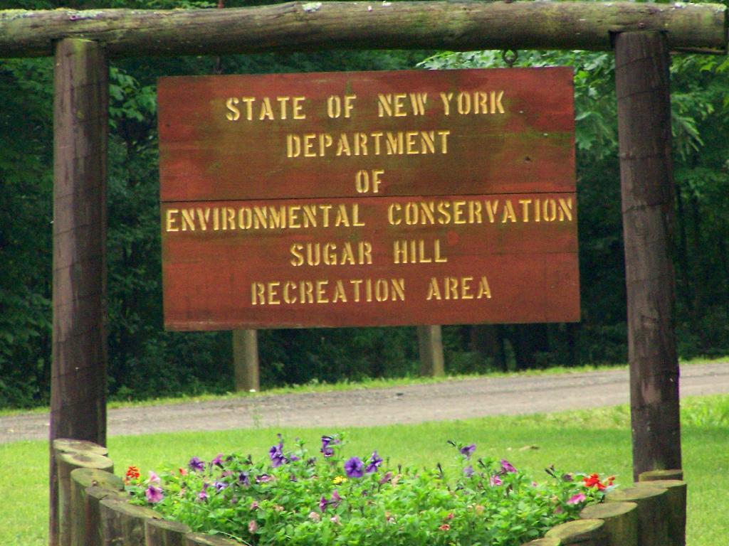
Sugar Hill Recreation Area

You don’t see signs like this located in downtown Albany.
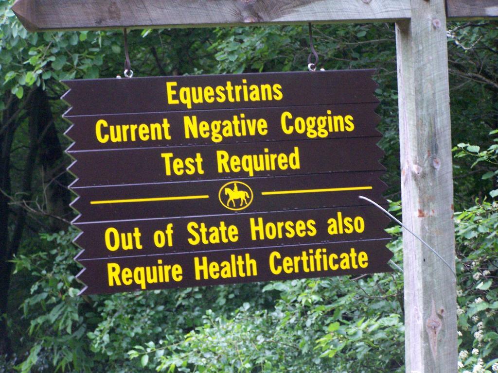
Negative Coggins Test

This is all conveniently located about 15 miles from Watkins Glen, at the headwaters of Townsend and Glen Creeks that make up the water that flows through the Glen.

While I didn’t spend a lot of time going around and grabbing pictures of the Horse Camp, I did take some pictures and have some from when I visited this area during the previous summer. This was in part because the last day was rather gray, with heavy rain at times, and I was frankly quite tired.

There also is a firetower at the main horse camp area, which is filled with RVs, horse trailers, and horses during the summer weekends. This is shown below:


View Hikes of 2009 in a larger map

Here is the fire tower:

Firetower

Here is the main horse camp, with new bathroom facilities including flush toilets. This was installed two years ago due to the popularity of the horse camp and contamination concerns by the overuse of the conventional pit privy.
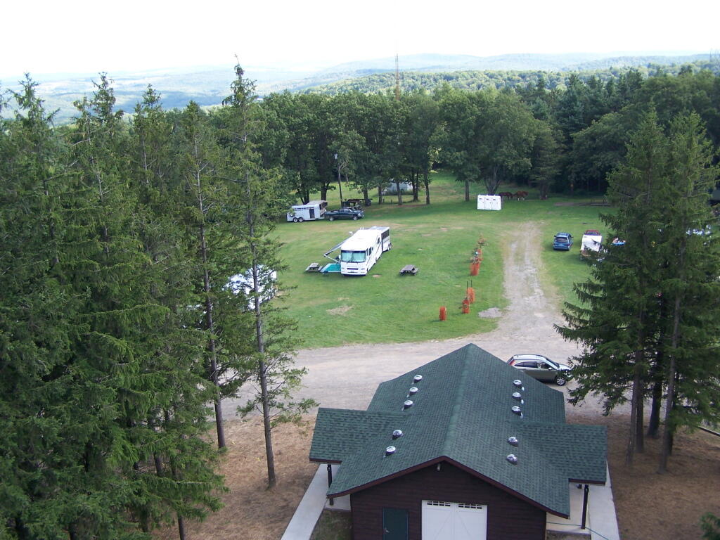
Six Nations Horse Camp

Horses tied up. I took this last year, when they where still building the replacement bathroom for the pit privy, and therefore the porta-potties.
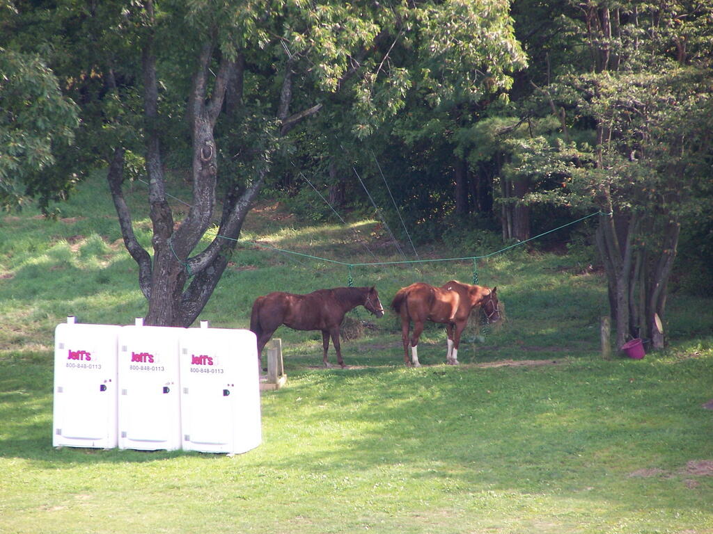
Horseys

Some wildflowers noticed along a short walk…
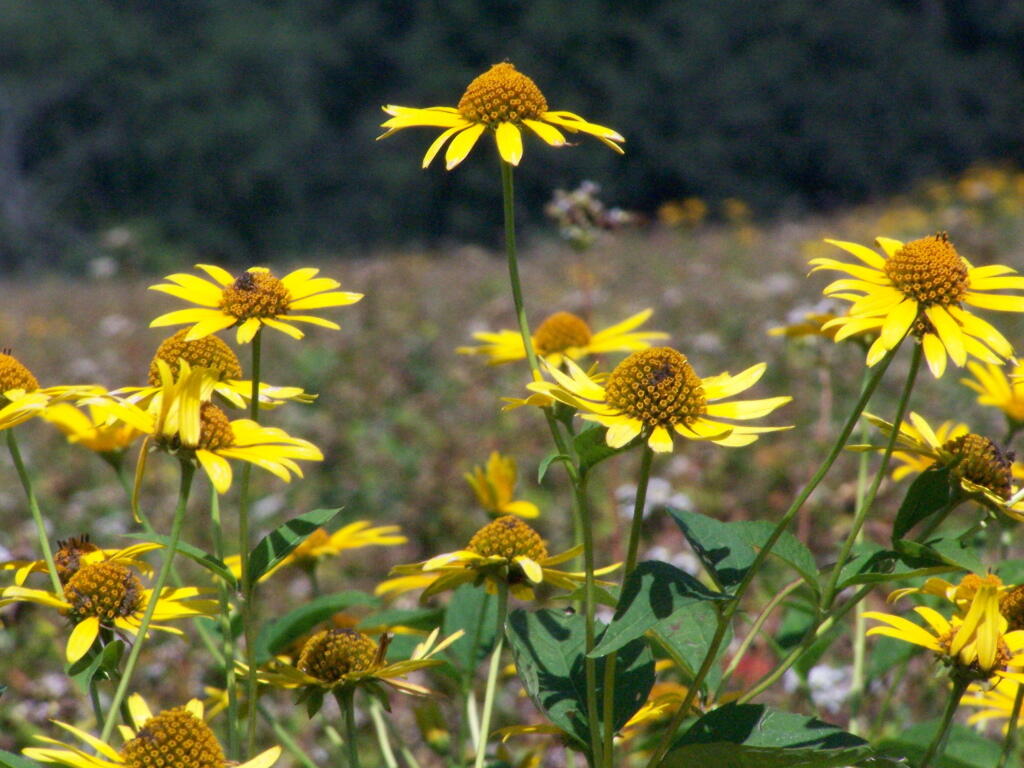
Flowers

A bed of fog over Kueka Lake from the Firetower from last year.
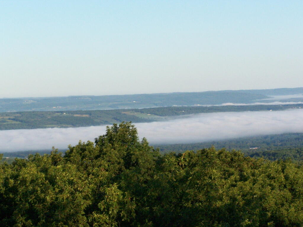
Bed of Fog

Thunder clouds approaching from the west from the Firetower. It was not of course thundering when I was on the tower. I’m not that stupid.
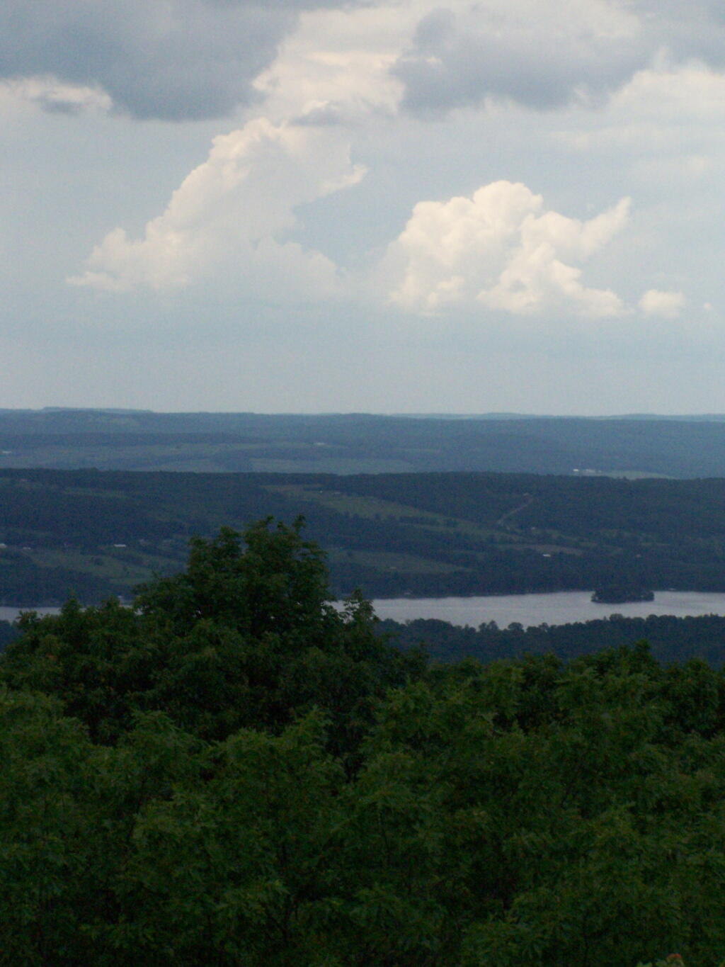
Thunderheads

Descending the firetower, looking east towards Seneca Lake.
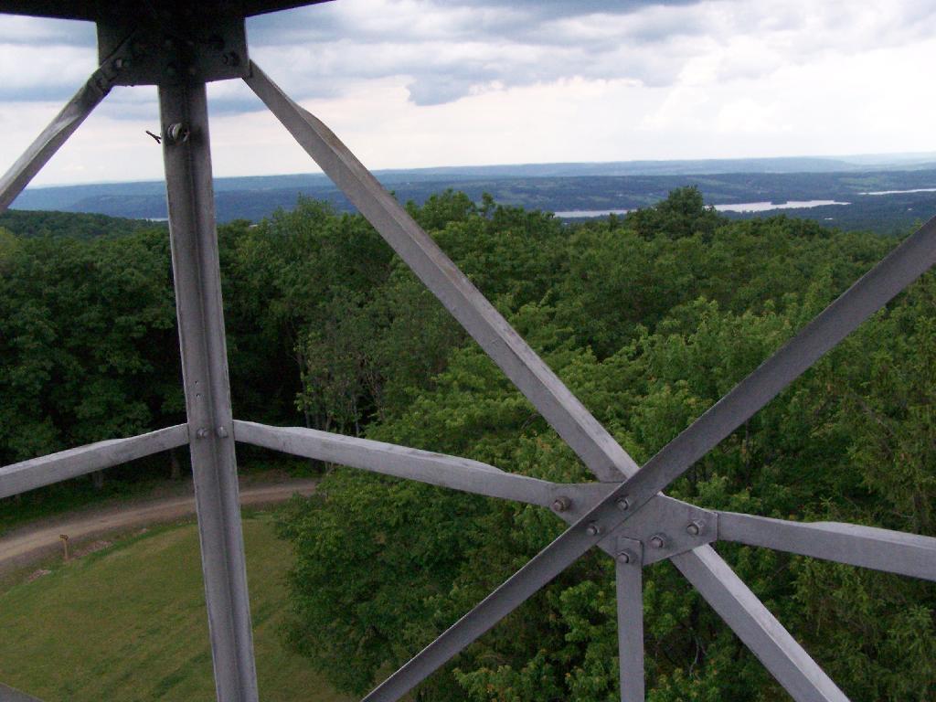
Descending Firetower

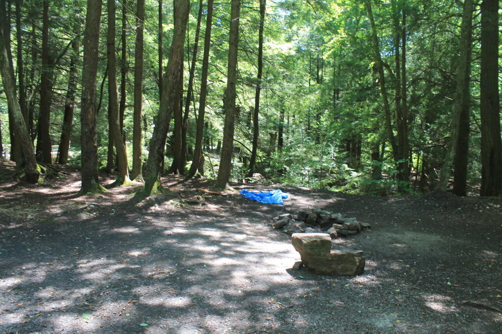
Rather then camping at the main horse camp, where there where several people set up with horses, I decided to camp at the lower area, which is much less popular, but as nice if not nicer.
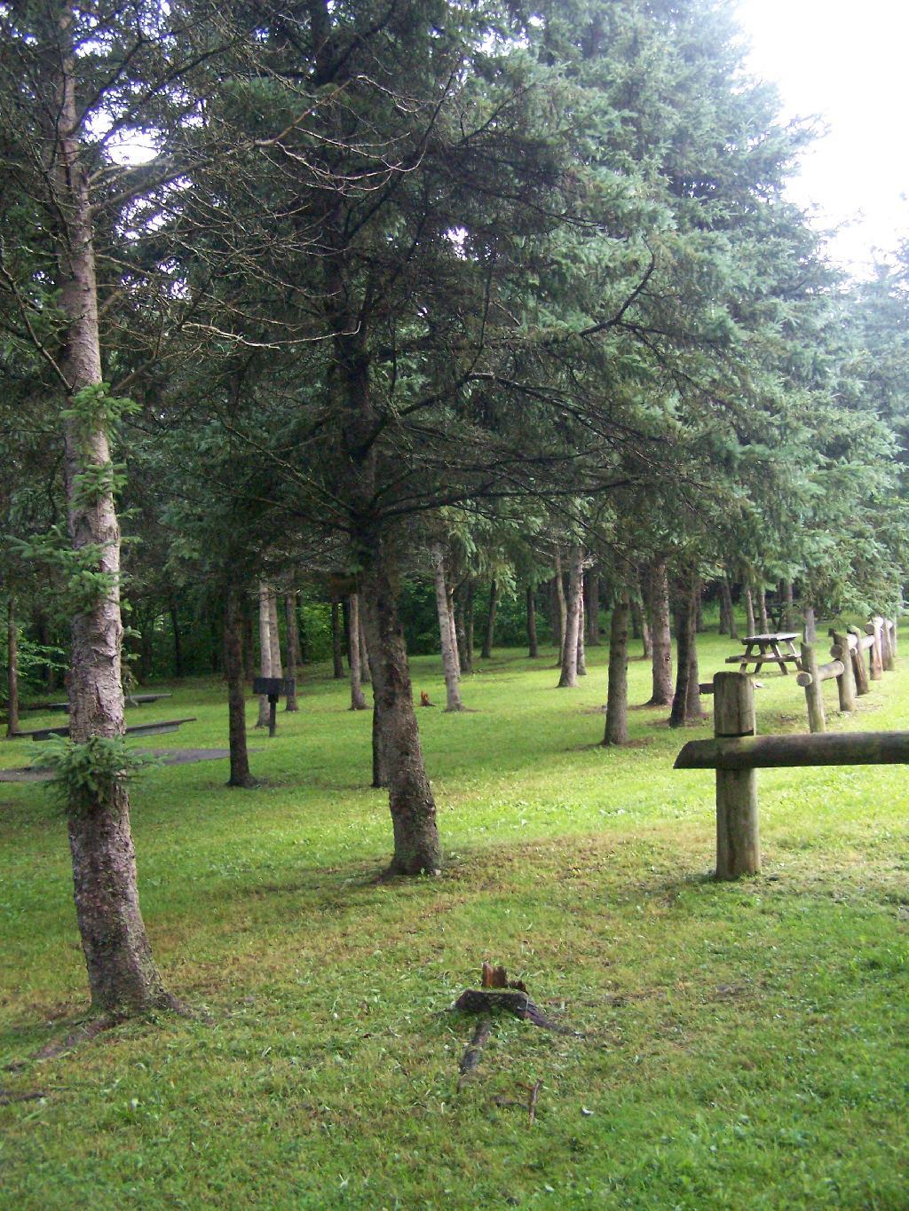
Horse Tiedowns

They still have lots of things for the horse owner to use.
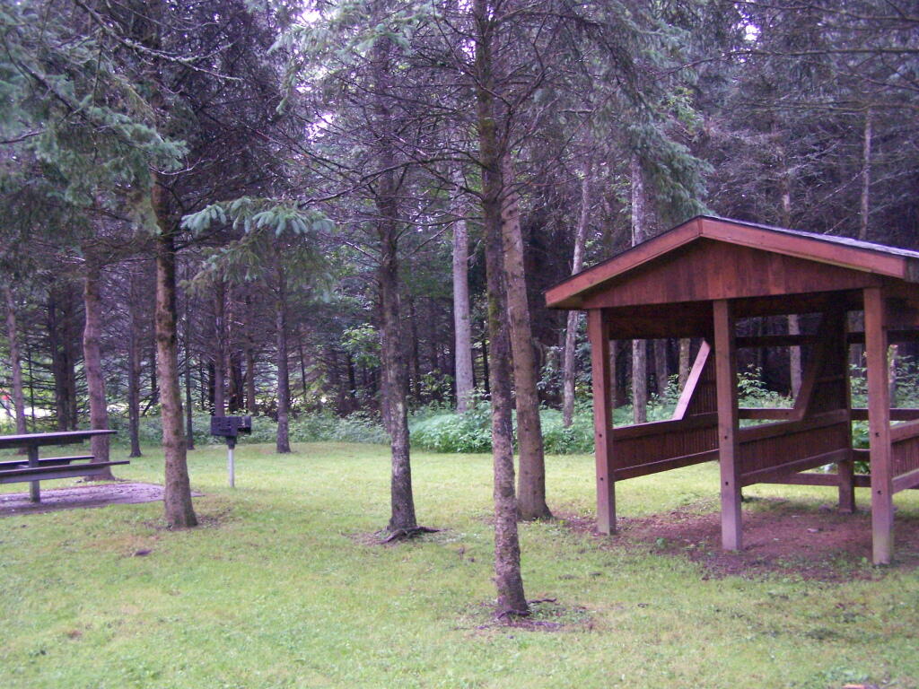
Horse Stables

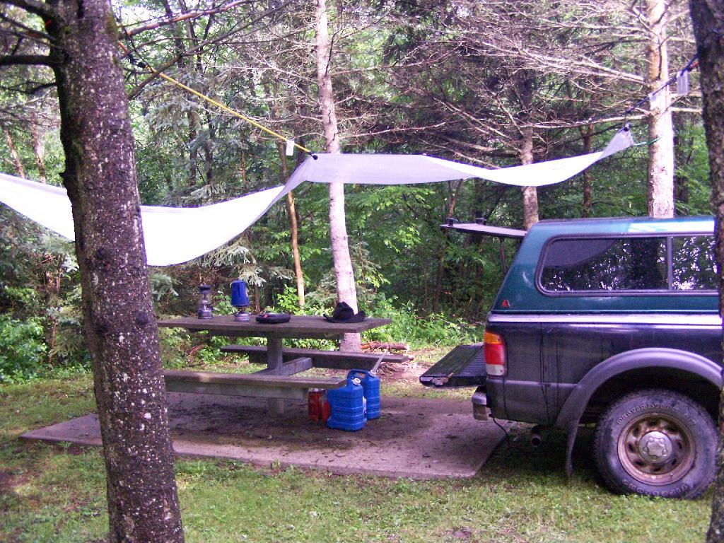
In the evening it started to rain. It didn’t bother me much, as I had the tarp over my truck and the picnic table, and thanks to the cement base under the table, there was no mud or muck to get kicked up.
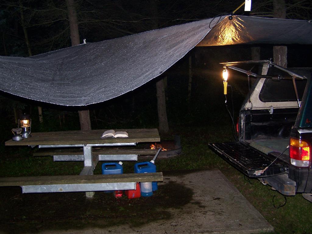
Reading in the Rain

This was my camping arrangements, as seen in the morning. Not bad, especially for a free campsite.
Camping

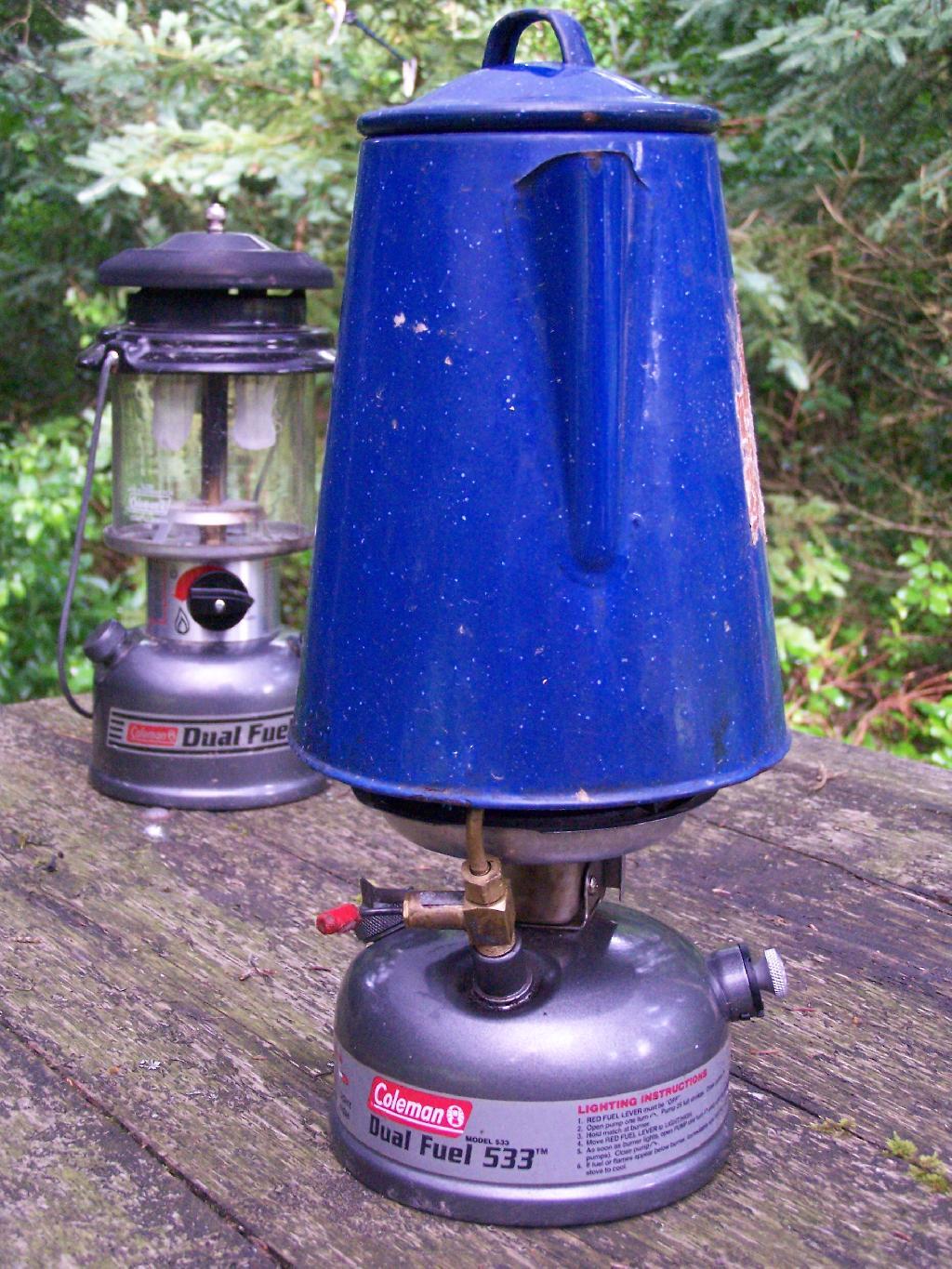
Making some coffee in the morning. I drank an incredible amount of coffee during this week.
Camp Stove

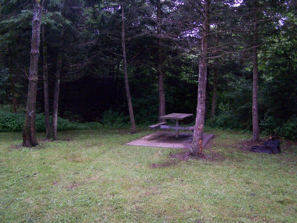
Where I camped, after everything was all packed on up.
Site

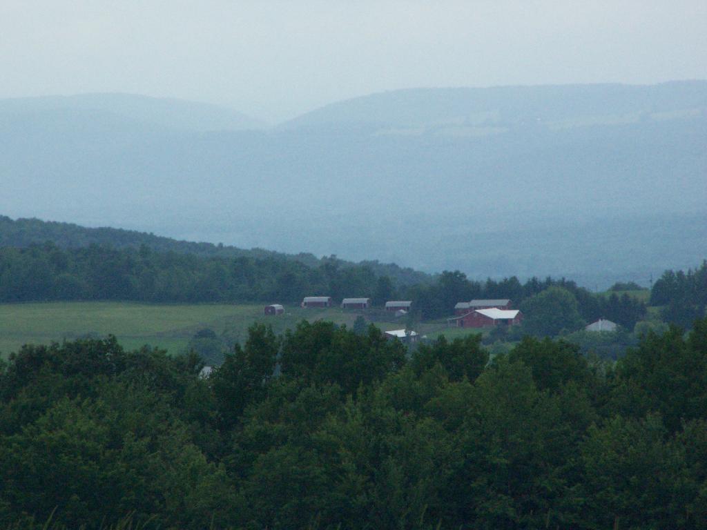
Farms from off Six Nations Hill in the rain, looking south.
Farm

Maps from the DEC of Six Nations Horse Camp:

I drove the following route on Day 3 of the Finger Lakes Trip, in yellow. The loop is where the firetower and main horse camp is. Following the green line due south, takes you to the southern horse camp where I spent the night camping.


View Finger Lakes Trip June 2009 in a larger map

Day 4 I visited Corning and checked out Big Flats, which is now unfortunately little more then suburbanite crap. Corning was kind of neat, except that it started to pour when was down there. I then drove down to Sayre, PA, and through northern Pennsylvania so I could pick up some fireworks for the forth of July. I probably could have come right back into the state, but I certainly didn’t want to be followed by undercover cops, with my fireworks (yes, I’m a little paranoid).

Rural Pennsylvania was quite pretty, except for the heavy rain and the fact that Route 706 was so damn narrow and twisty. When I got back to NY, I really appreciated how much better our state’s roads really are. I drove back via I-88, occasionally hopping back on Route 7 for some additional variety to my trip. I got home around 4 PM.


View Finger Lakes Trip June 2009 in a larger map

The green line follows my return trip. It took about 6 1/2 hours, including stops in Corning and other places.
Allegheny National Forest Dispersed Camping and Pennsylvania DNCR Motor Vehicle Camping

Allegheny National Forest Dispersed Camping and Pennsylvania DNCR Motor Vehicle Camping πŸ•

Please see also information on dispersed, roadside and back-country camping in New York State, Vermont and West Virginia.

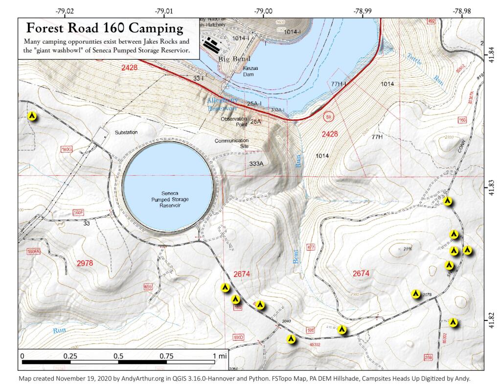
Allegheny National Forest Dispersed Campsites (shown on this map with a round Yellow Camp logo) are free-to-use with a 14-day stay limit in any 30 day period. Many of these campsites are informal areas used for camping, others like along Forest Road 160 and 259 near Jake’s Rocks and along Lolita Grade have enhanced gravel pads/parking areas. Unlike New York State, they do not have formal markings at the sites. More detailed map.
PA DCNR Motor Vehicle Campsites (shown on this map with a Blue Camp logo) are free to stay at with a permit which can now be obtained online, 3 days in advance.

Download a spreadsheet with the coordinates of Allegheny National Forest Dispersed and Motor vehicle campsites.
More About Allegheny National Forest Camping …

In the Allegheny National Forest there are a variety of back country roads, offering primitive roadside camping.

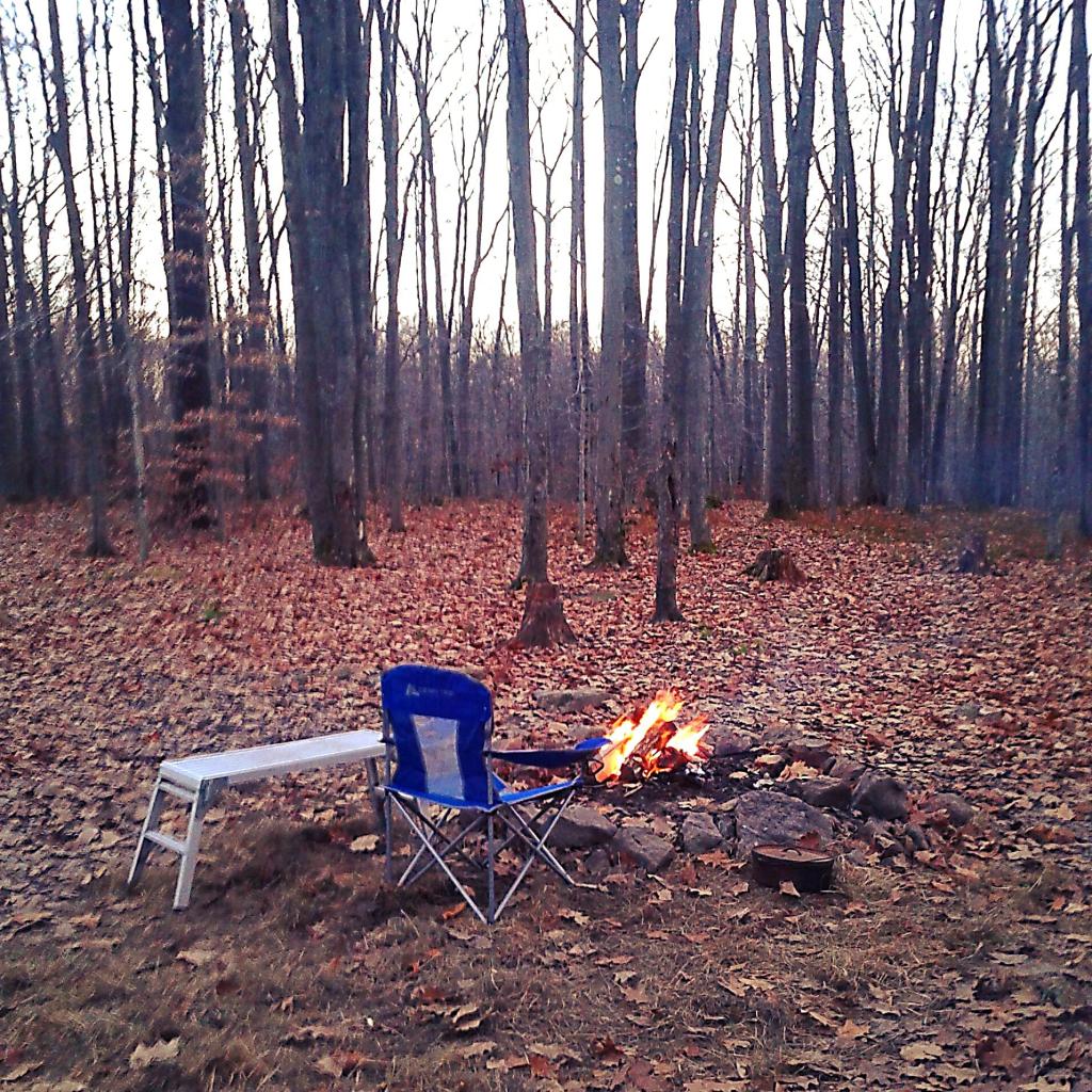
  • Campsites are free to use, and have no facilities except for a fire ring and a pull-off from the road, and sometimes a site reinforced with gravel.
  • As noted below, some campsites have additional facilities.
  • Don’t make a mess of campsites, pack out any garbage left over.
  • Burn only dead and down trees, don’t bring in wood from out of state.
  • You can camp up to 14 days per 30 day period in Allegheny National Forest — no permits are required.

Forest Road 160/259 is the most popular dispersed camping area near Jakes Rocks and the Allegheny Reservior. Above are some campsites in this area. Many of these campsites have gravel parking areas and hardend campsites.

Forest Road 160 Camping

Before Dark

Sitting Next to the Campfire

There are several campsites along Loleta Grade, south of Lamonaville (FR 131).  This is on the backside of Buzzard Swamp Wildlife Refuge, and is a much more wilderness experience. Many of these campsites have gravel parking areas and hardened campsites. Some of the campsites along the Gurgling Run can be buggy during the summer month, but get much less use then the Jakes Rocks area. Be aware that Forest Road 131 from Loleta Recreation Area to Forest Road 288 is permanently closed due to damage after Superstorm Sandy.

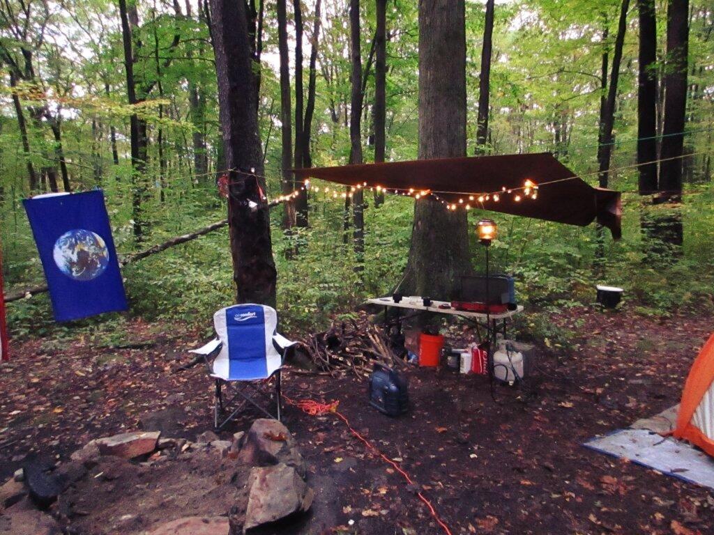
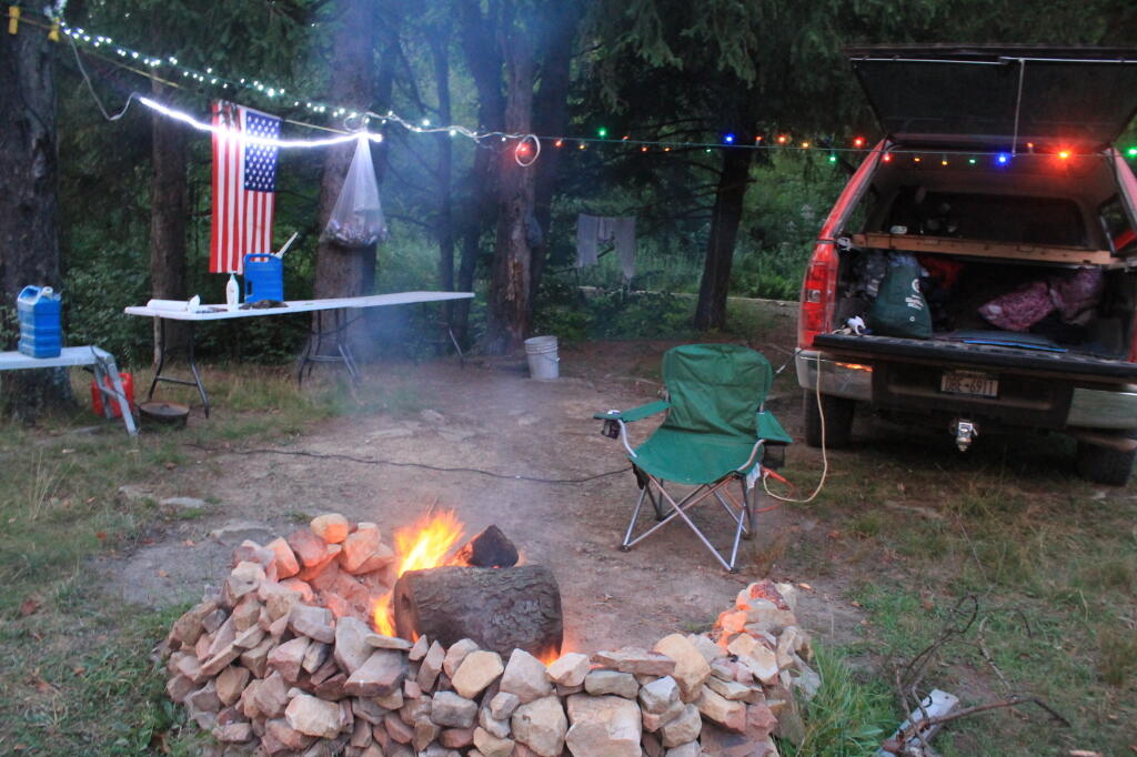
Camping with Lots of Light

Good morning from camp!

There is a handful of campsites along Fire Road FR 137 along the Dry Run and Whitney Creek near the Willow Creek ATV Area.

2020 State Population

Sitting Next to the Campfire

There are a handful of campsites along the East Tionesta Creek south of Kane/Shefield.

Another Campsite on Tionesta

Tionesta Creek Campsite

There are many other roads that have camping but these are some of my favorite locations.

More About DCNR Motor Vehicle Camping …

On Pennsylvania State Forests there are a variety of back country roads, offering primitive roadside camping.

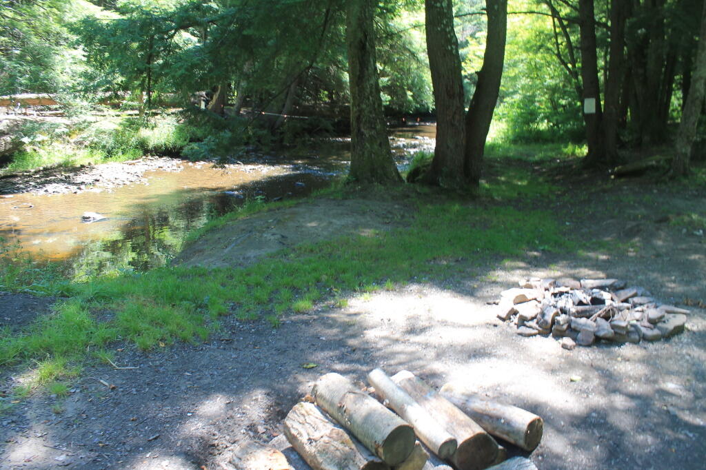
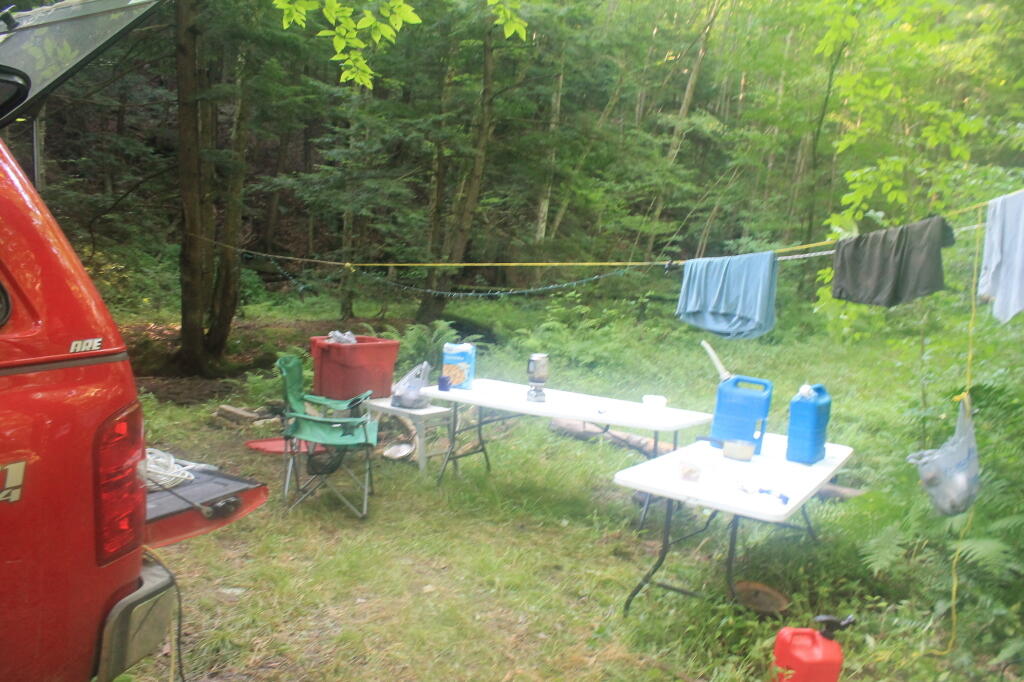
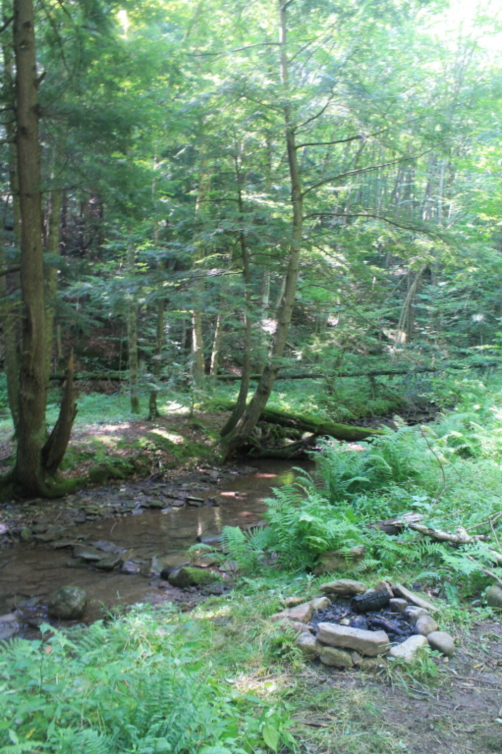
Camping Down at the Painter Run

Camping at Painter Run

I have not done a lot of DCNR Motor Vehicle Camping, but above is a picture from 2012 when I spent half a week truck camping at Painter Run in the Tioga State Forest near the Pennsylvania Grand Canyon. There are many other opportunities as can be seen above, if you plan ahead and get your permit.

Also, see the DCNR Interactive Map if you are interested in fee campgrounds. They have several “rustic” campgrounds which are inexpensive at $10 night, and do not require reservation. These are traditional campgrounds with hand pump water, pit privies and no electricity but often are well maintained and quiet — although the campsites aren’t spread out like back country camping. Many of these campsites are lightly used off-season and are often a good place to spend a night when traveling. 

Allegheny National Forest Dispersed Campsites are free-to-use with a 14-day stay limit in any 30 day period. Many of these campsites are informal areas used for camping, others like along Forest Road 160 and 259 near Jake's Rocks and along Lolita Grade have enhanced gravel pads/parking areas. Unlike New York State, they do not have formal markings at the sites. More detailed map.

PA DCNR Motor Vehicle Campsites are free to stay at with a permit which can be obtained from the local DCNR Forestry office (click on the black dot) during ordinary business hours or by emailing/calling their office with your license plate and contact information.