Northern Adirondacks

Blue Mountain Fire Tower

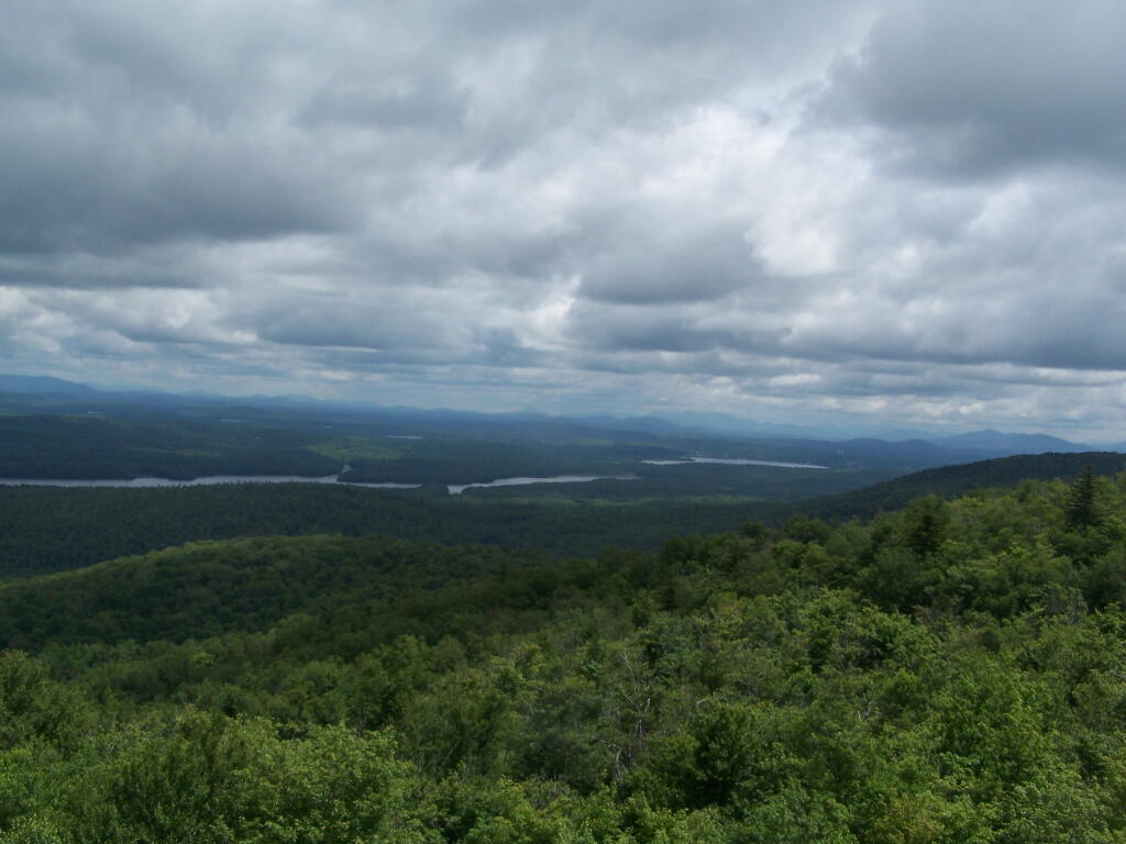
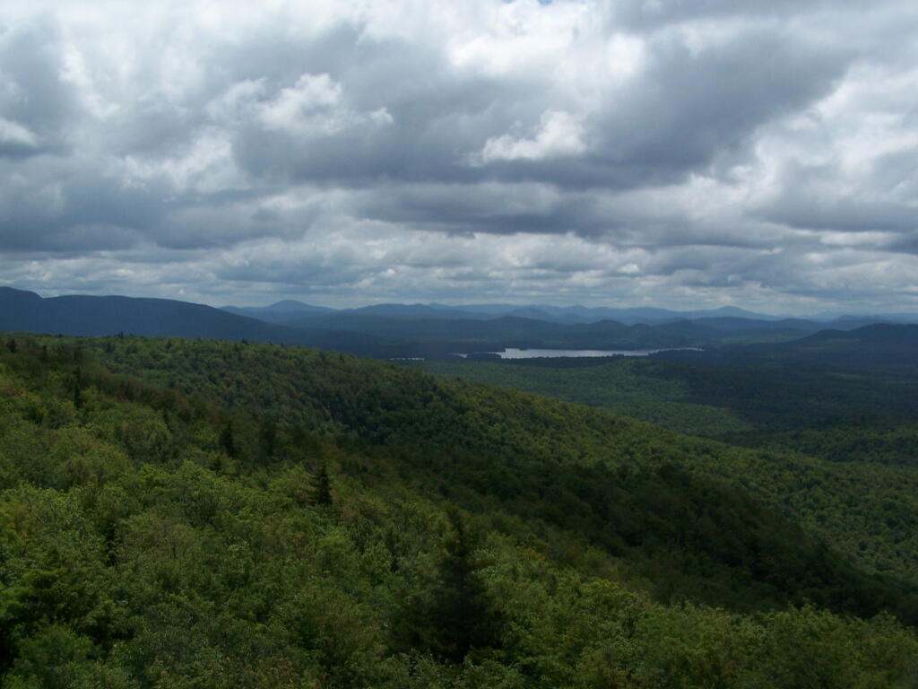
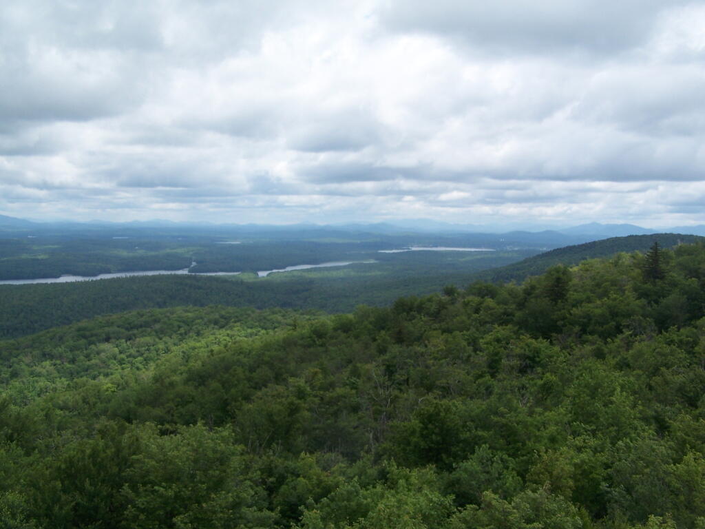
There is a fire tower on the mountain overlooking Blue Mountain Lake. It has some interesting views, and can be checked out by driving just north of Blue Mountain Lake on NY 30. It is one of the most popular hikes in the Adirondacks, and many people also visit Moose River Plains or the Adirondack Museum after hiking the tower.

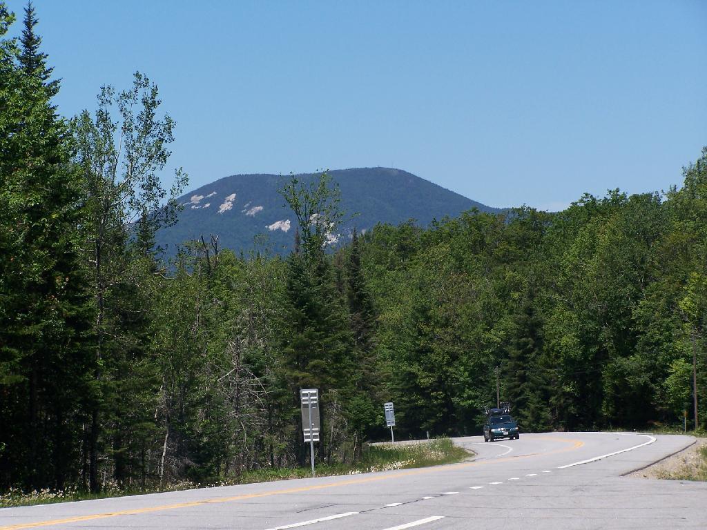
Here is Blue Mountain heading North on NY 28.

Blue Mountain

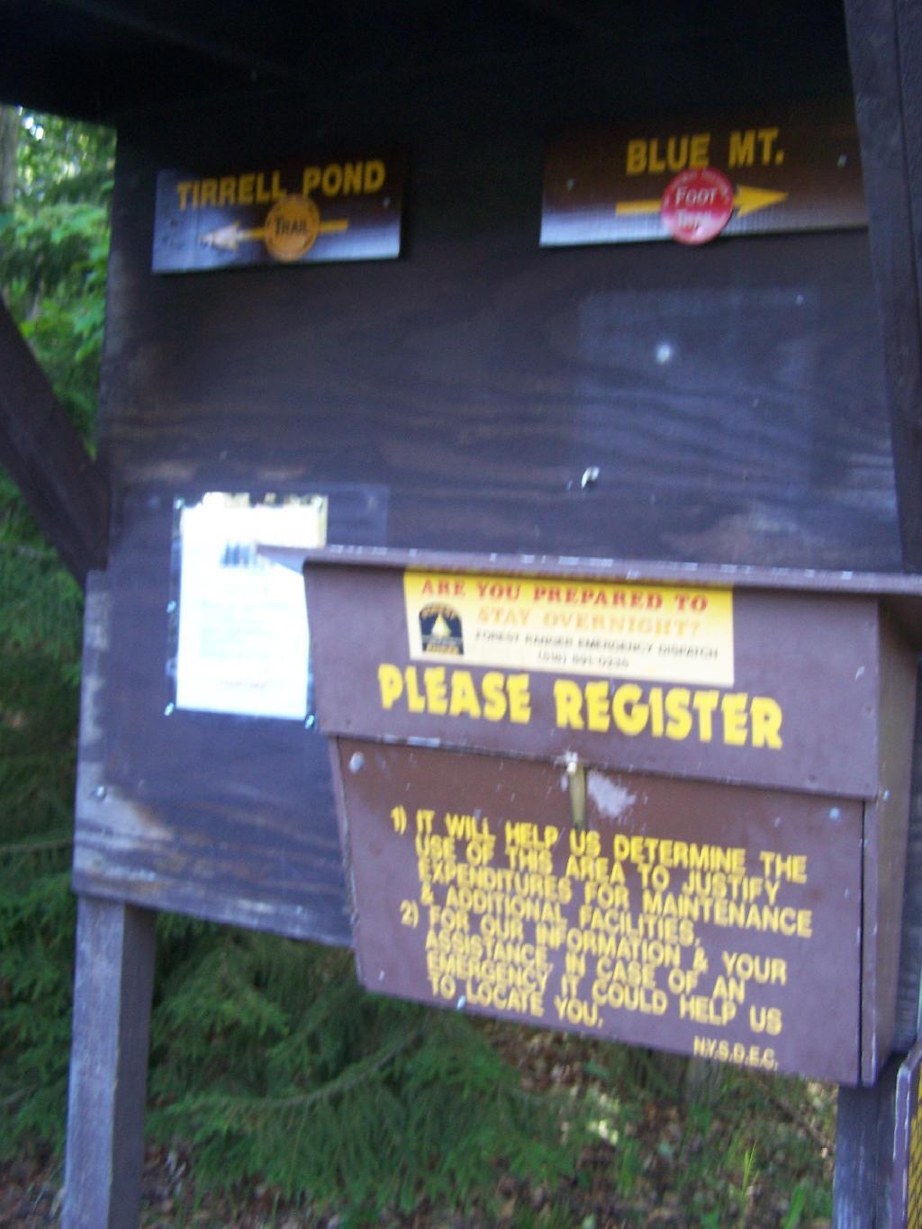
The registration box at the bottom of the mountain.

Registration Box

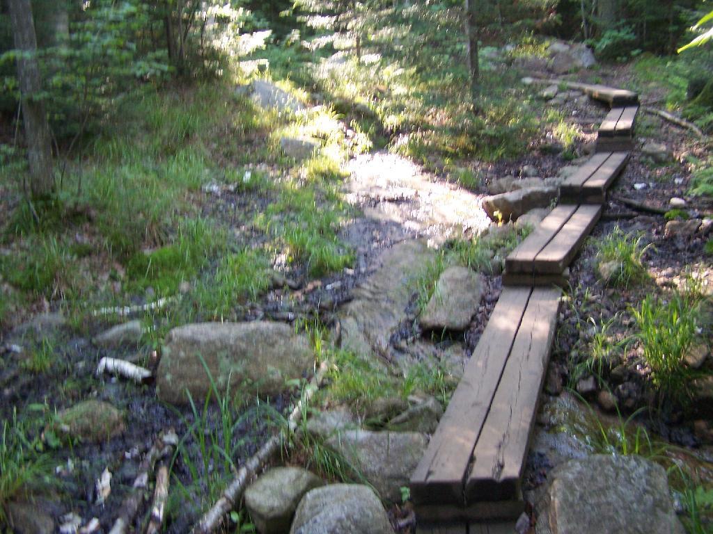
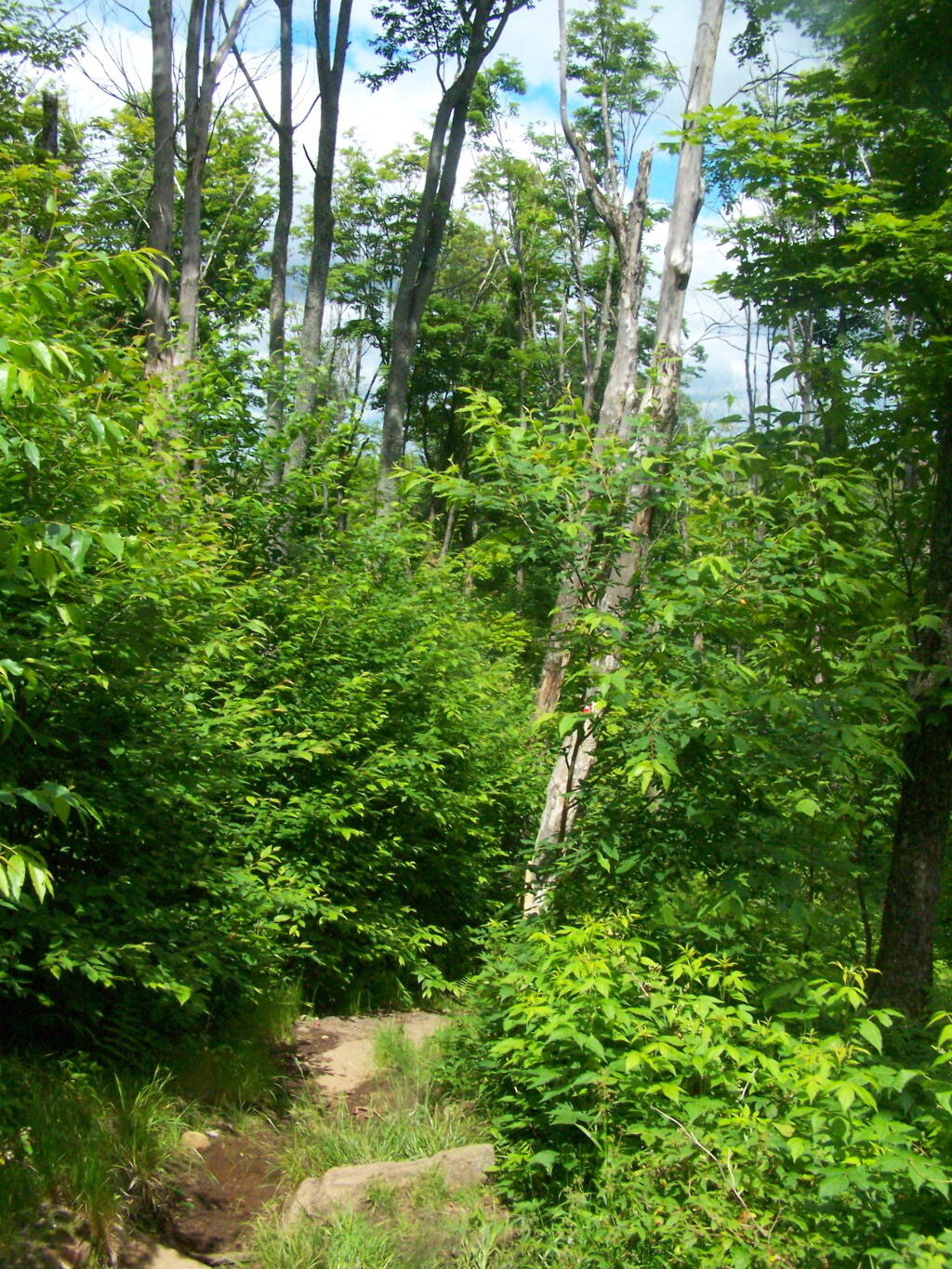
The trail is well maintained, despite it’s extensive use, with board walks across muddy locations.

Board Walk Across Marshy Area

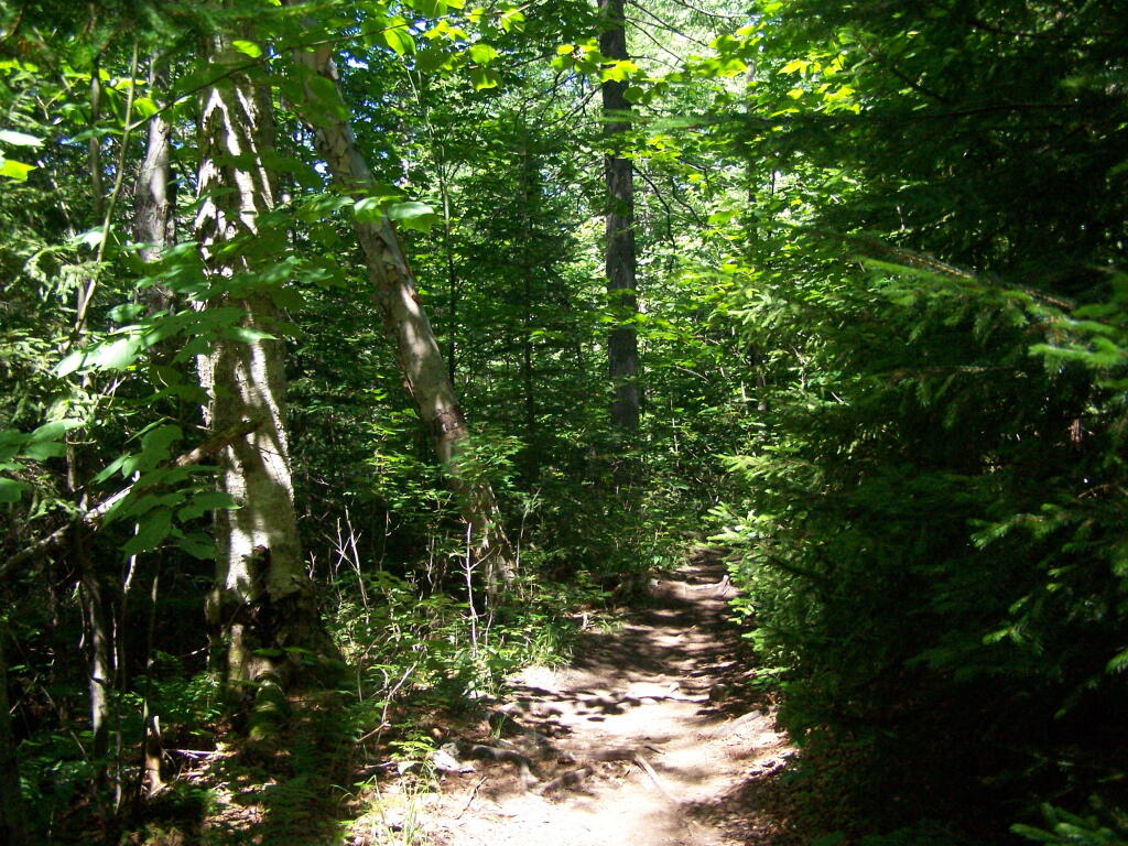
The first part of the trail is relatively flat for a while, then gets steep for a bit.

Trail

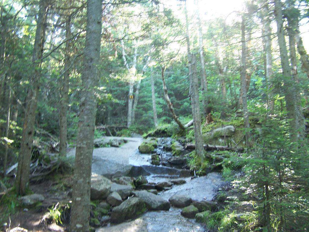
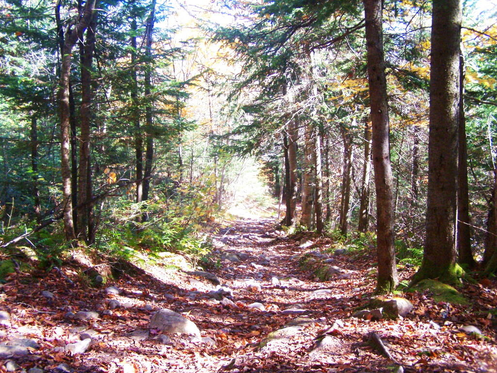
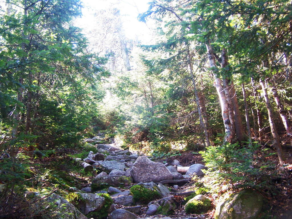
A lot of the lower part of the mountain was rocky with lots little rocks to step over.

Rocky Ascent Up the Mountain

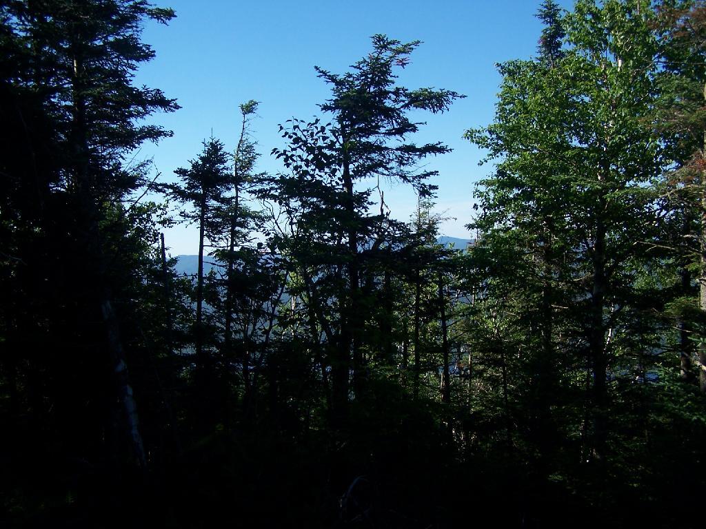
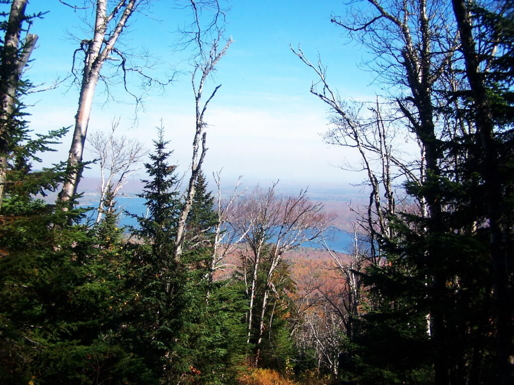
About halfway up the mountain you get partial views down the mountain.

Mountains Thru The Trees

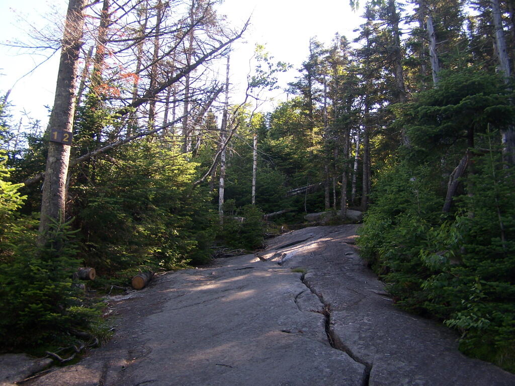
Eventually the mountain opens up a little, and your walking on exposed granite, steep, but not too steep.

Granite Rock Face

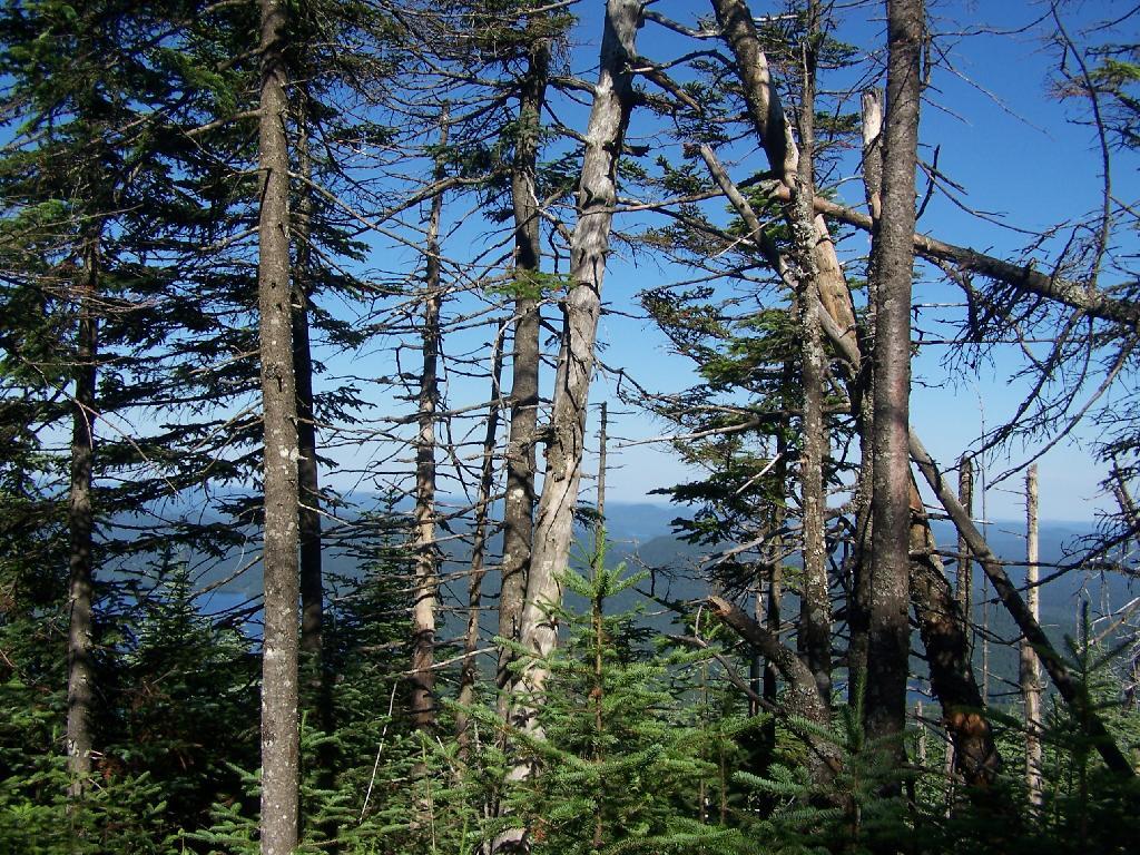
Once your almost to the top, you can look back and see Blue Mountain Lake through the trees.

Blue Monutain Lake Through the Trees

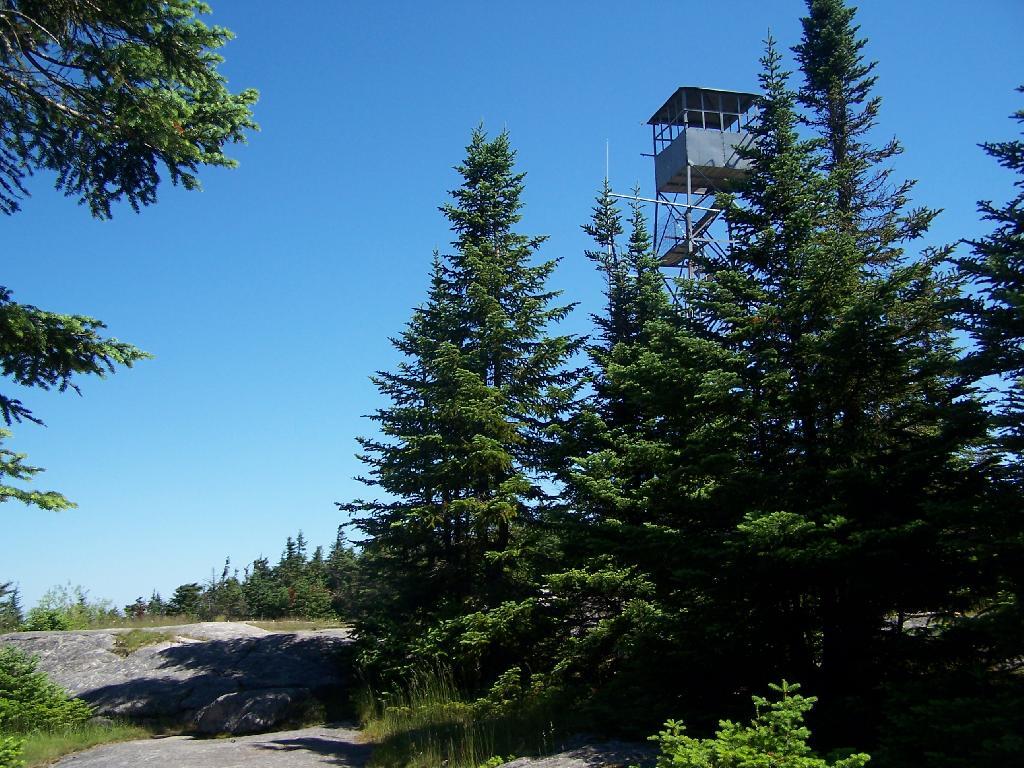
You reach the top of the mountain, and there is a gradual ascent, as you cross to the eastern side of the mountain, where the summit and the tower is located. Finally, you see the tower through the trees.

First View of Tower

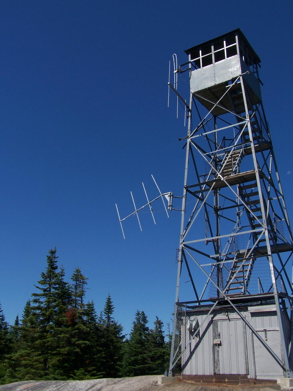
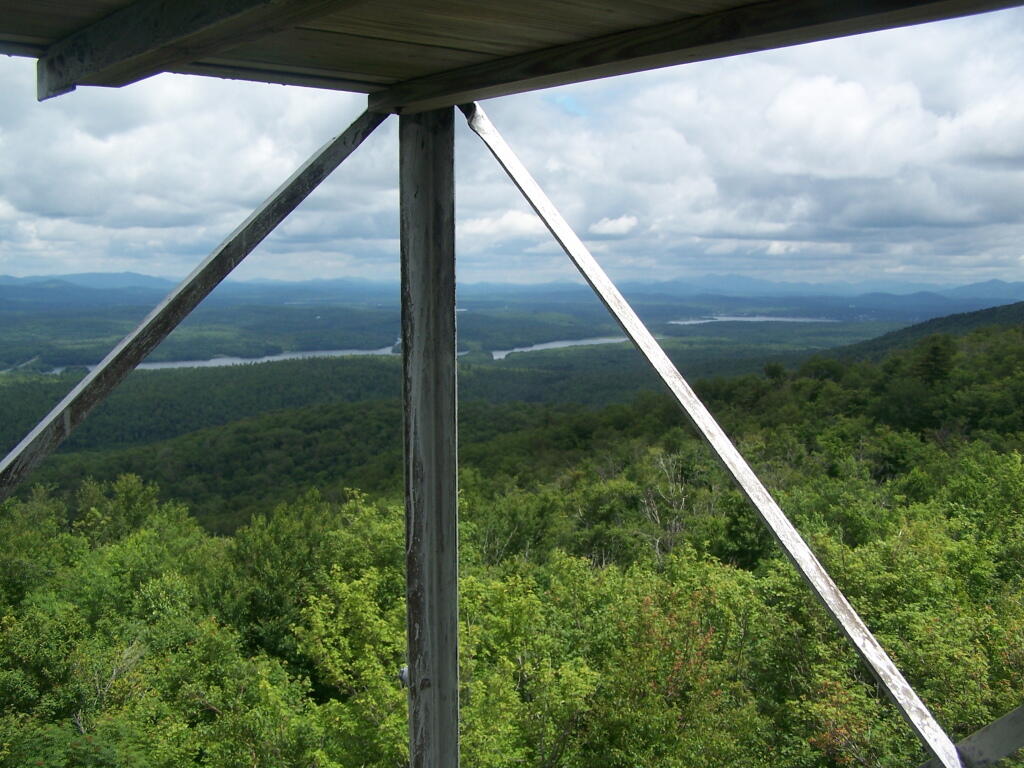
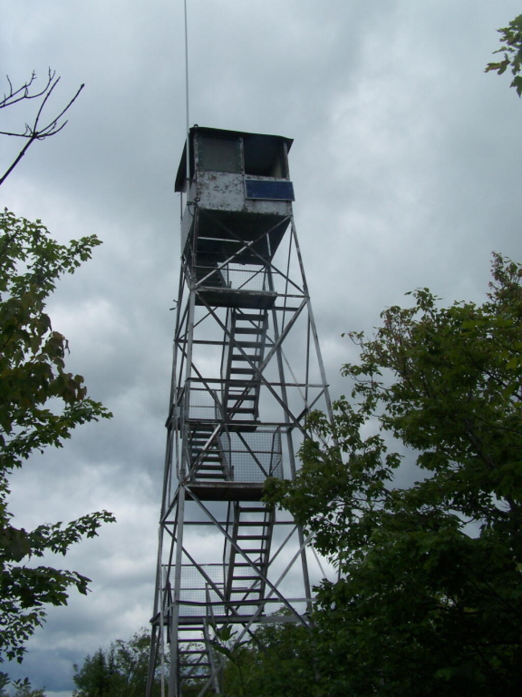
The tower is a relatively short 50 or 60 foot, but it’s plenty high to get good views of the surrounding landscape.

Fire Tower

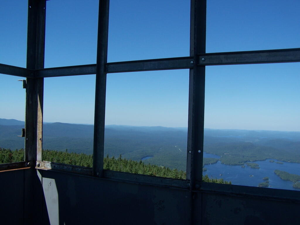
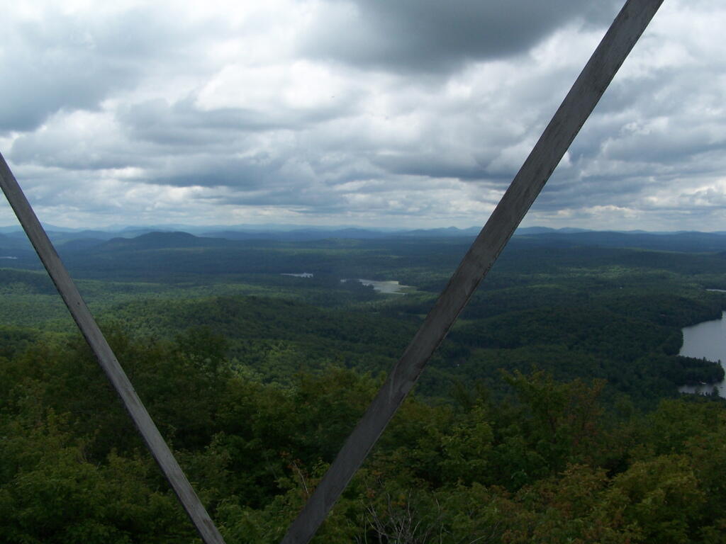
Looking out to the Tower windows.

Windows

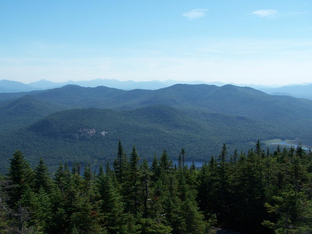
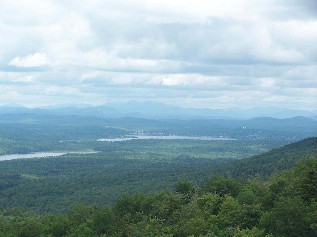
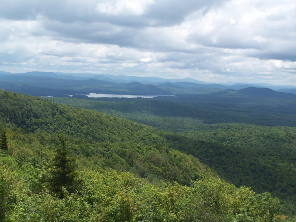
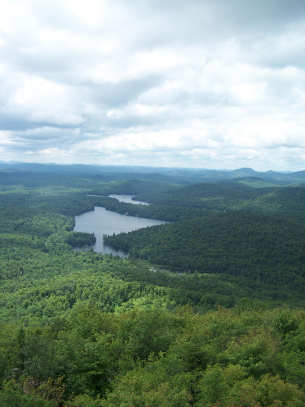
Blue Mountain Lake from the fire tower.

Blue Mountain

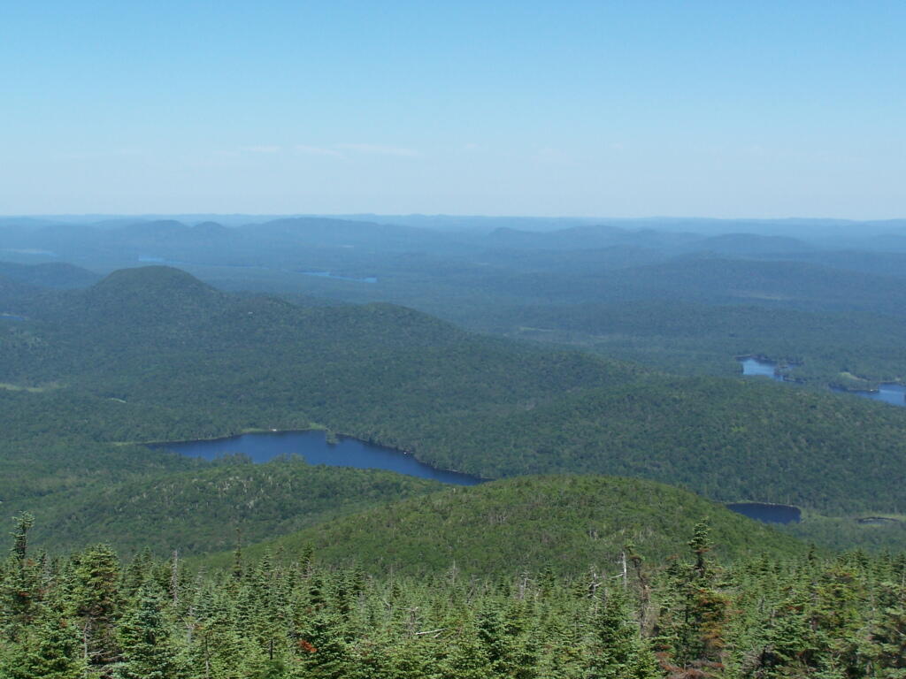
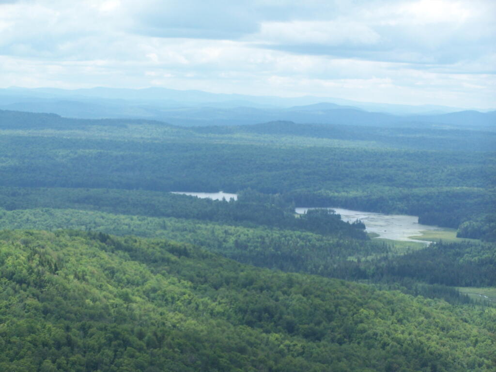
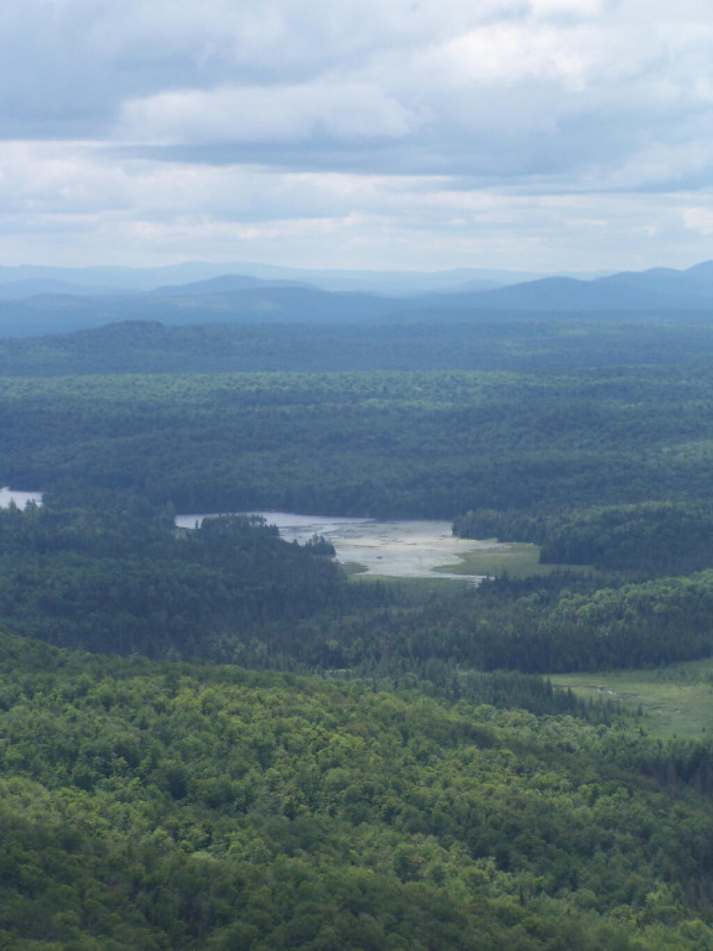
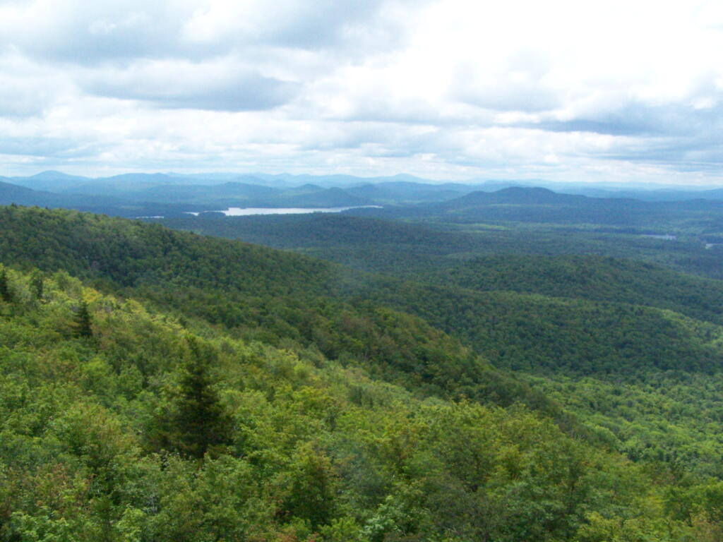
Moose River Plains to the south-west of the tower.

Cedar River Flow

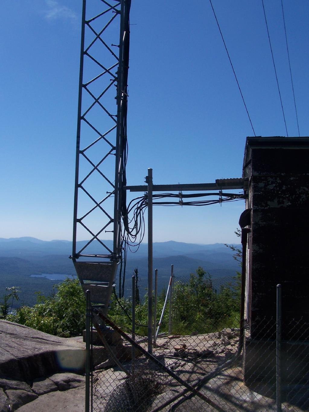
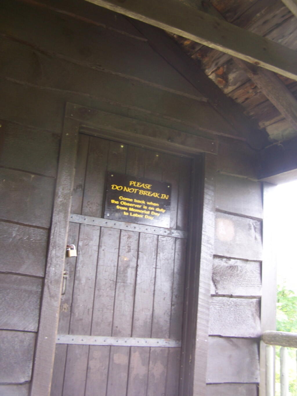
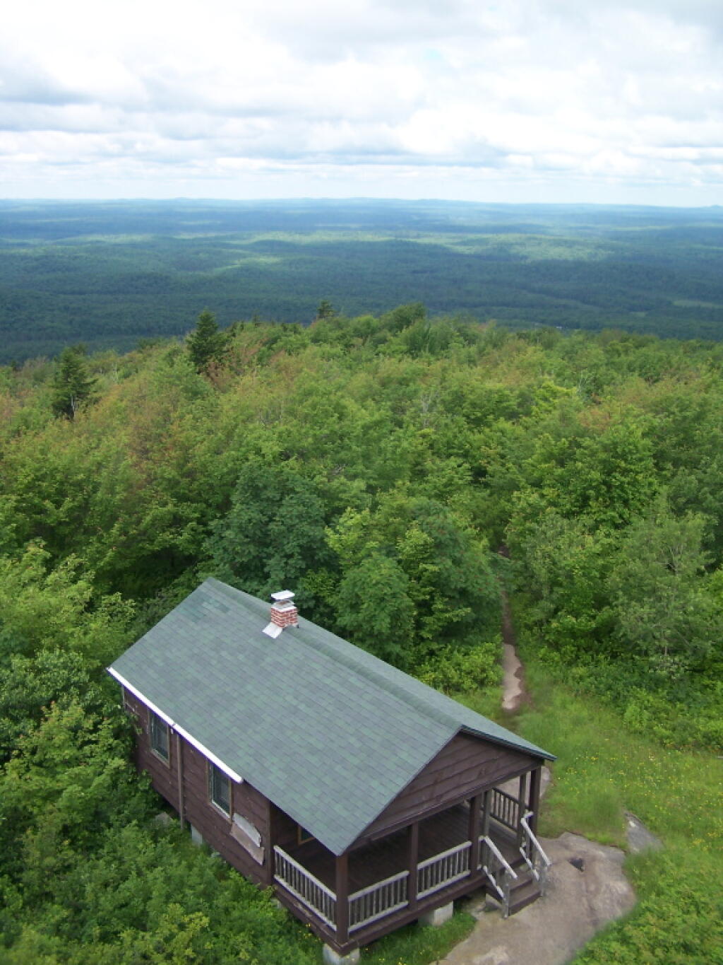
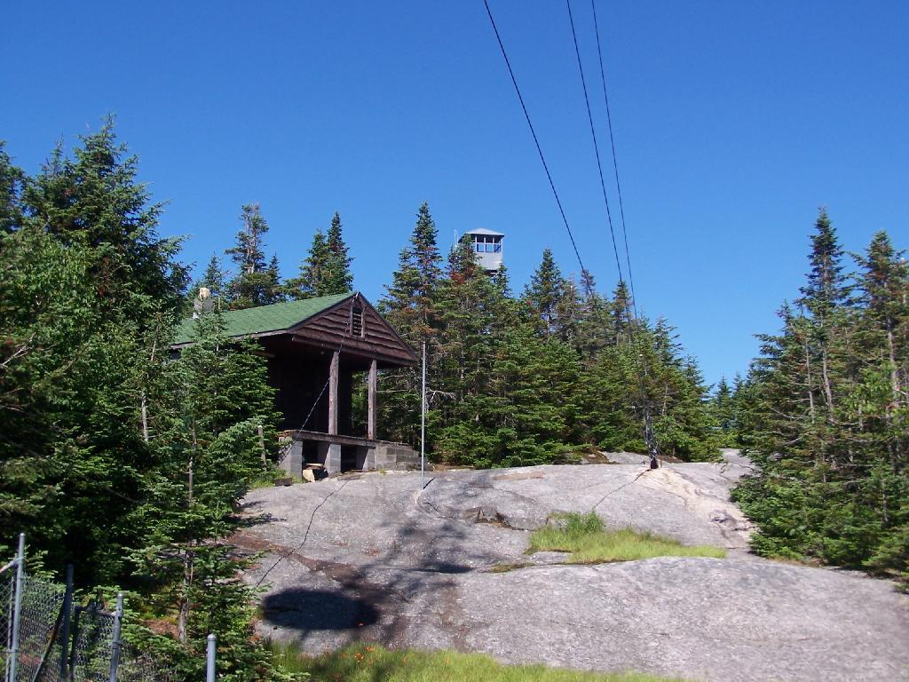
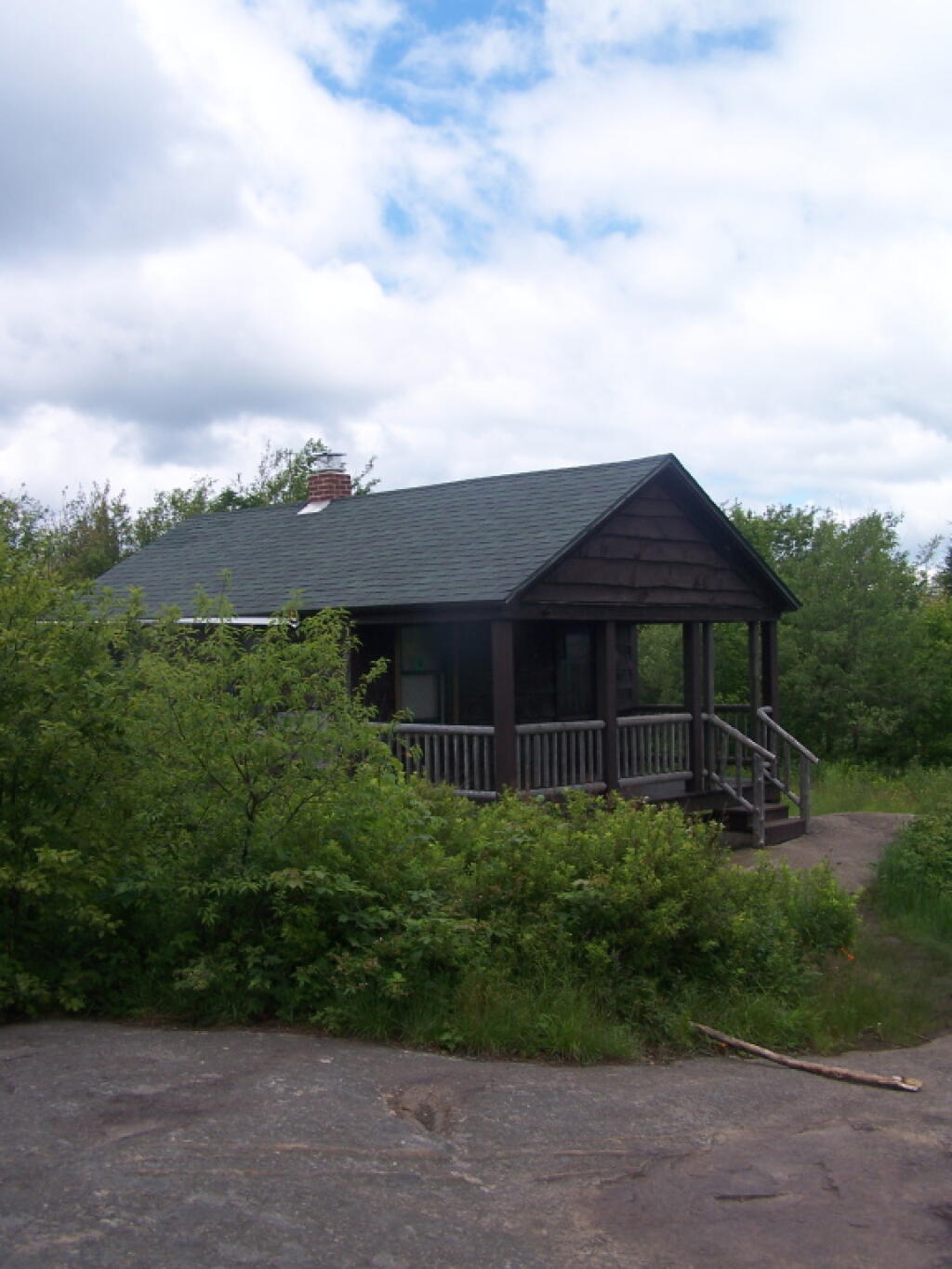
On the eastern side of the mountain, there is a radio tower and the old ranger’s cabin.

Tower from the Eastern Approach

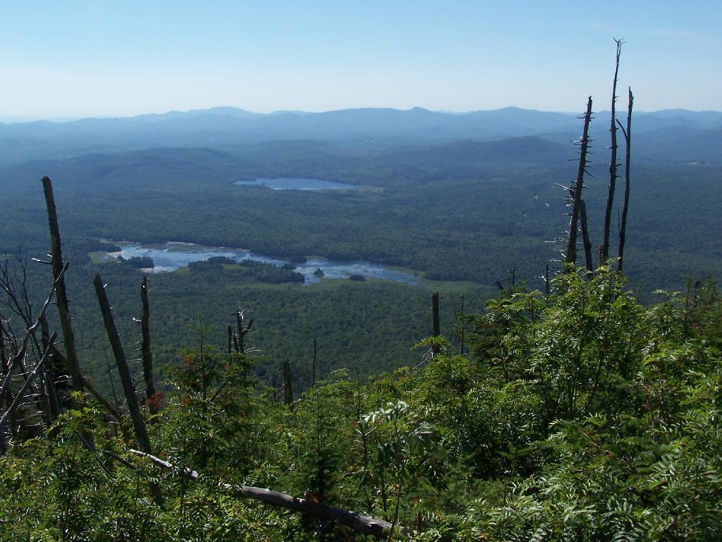
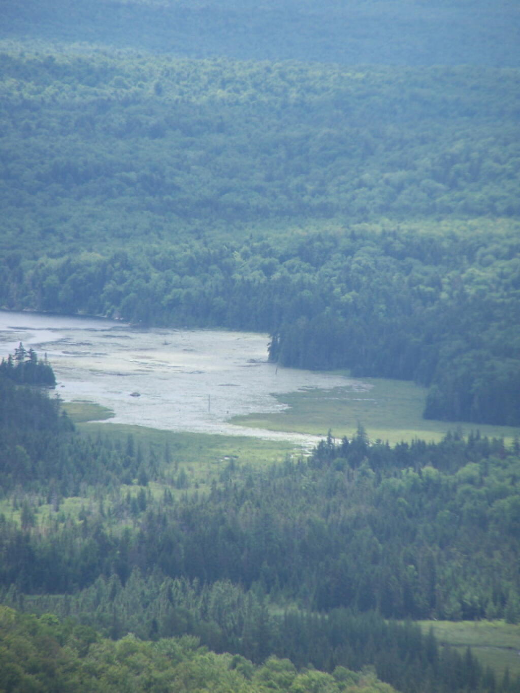
From the eastern side, their is a ledge, where you can see and look down towards like Lake Durant and Moose River Plains.

Lake Durant and Moose River Plains

The radio tower up close, with the fence broken down around it. I didn’t hear radio signals in my ears, despite being so close to this big radio tower.

Radio Station

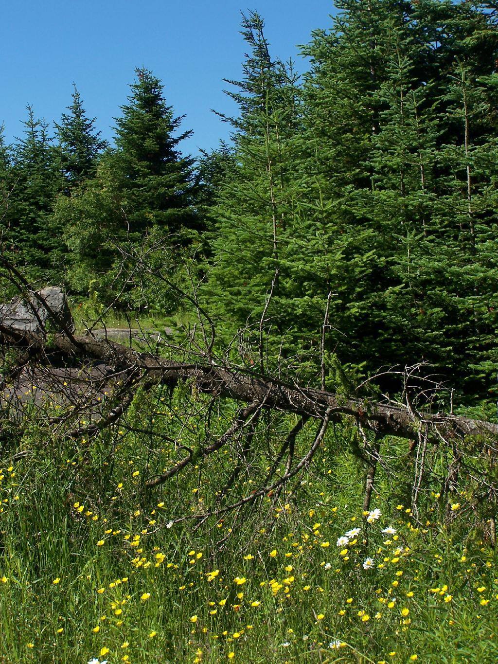
Flowers on the top of the mountain.

 Wildflowers

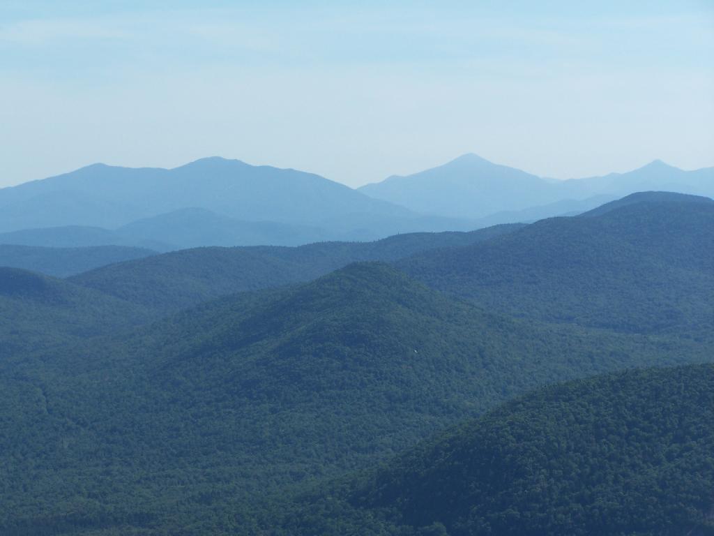
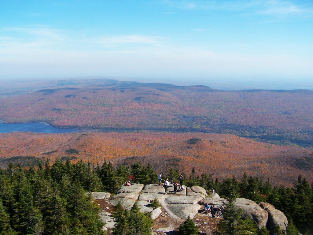
To the north-east there are views of the High Peaks Mountains. They probably woudln’t be as clear on a hazy day.

Mount Marcy in Distance

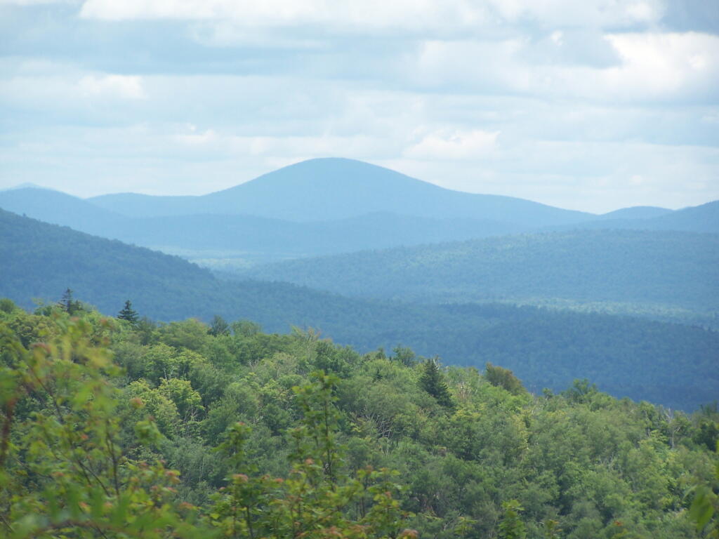
Tirnell Mountain is privately owned to the east, and you can see some active logging on it.

Tirnell Mountain

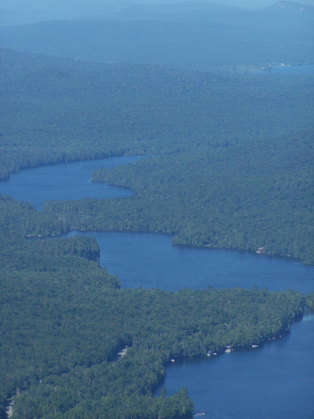
Seventh and Eight Lake as seen from Blue Mountain.

Fulton Chain of Lakes

Here is a map of the hike.
Hiking Lyon Mountain

Last October I went for a hike up Lyon Mountain. The first 3/4 of a mile you can drive up to the parking lot, then from there, it’s a two mile hike to the summit, or about 3 miles if you take the new trail.

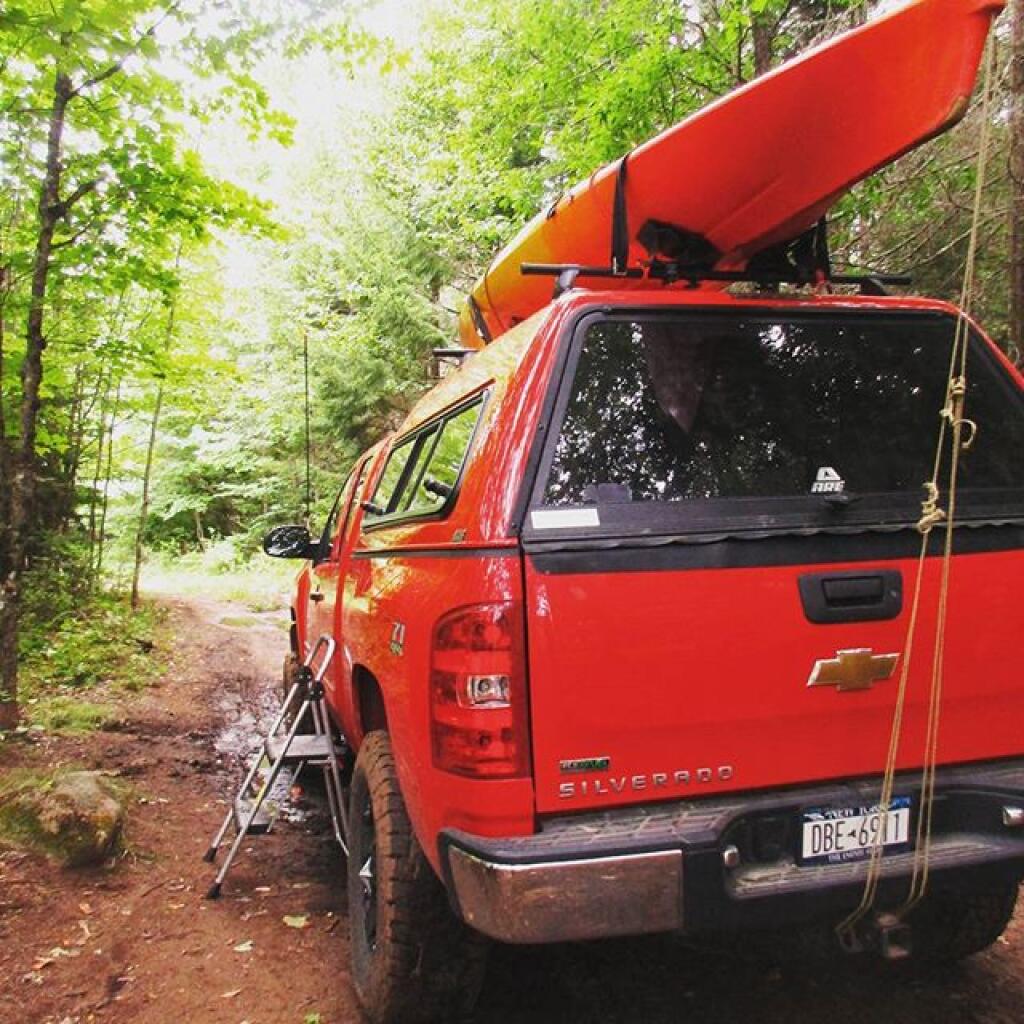
Same campsite I sprained my ankle in one year ago. This time, used a step stool

The old trail, following an old woods road is eroded and rough in places, but it well traveled as it much shorter. The new trail, being so twisty is not as well traveled, but it is far less steep and tends to be less wet in the spring time.
Start of Lyon Mountain Trail

Heading up from the parking area, the first part of the trail follows the old trails route, before swinging left near a registration kiosk.
Maples Along Trail

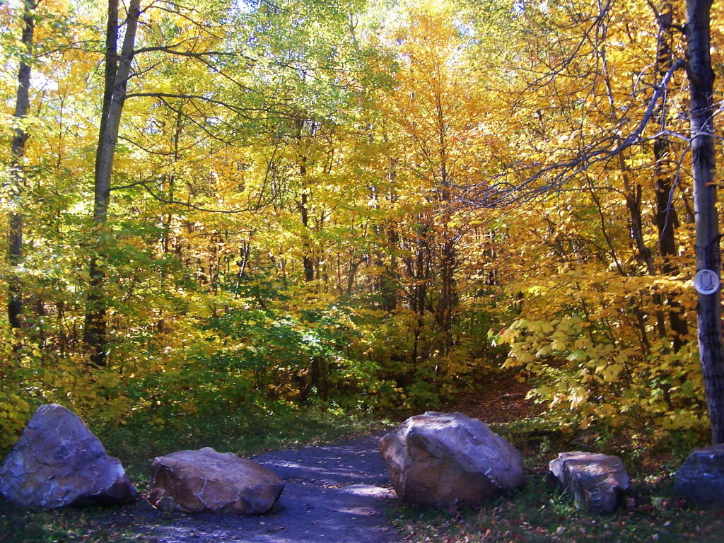
It was very colorful along the new trail as all the maples where at about peak color going up the mountain.

On the Old Trail

I decided to switch over from the new trail to the old trail, once I reached the point where the trails reached their closest point at the midpoint up the mountain.

First View of Chazy Lake from Mountain

As you get about 2/3rds the way up the mountain, you can look back and see Lake Chazy.

Steep and Eroded Old Trail

The old trail certainly is eroded and in rough sape in some parts. You can understand why they re-routed it.

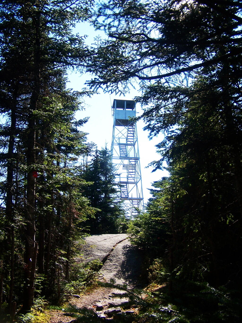
There's the Lyon Mountain Firetower

Ah, finally see the fire tower.

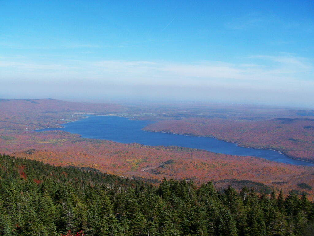
North Towards Chazy Lake

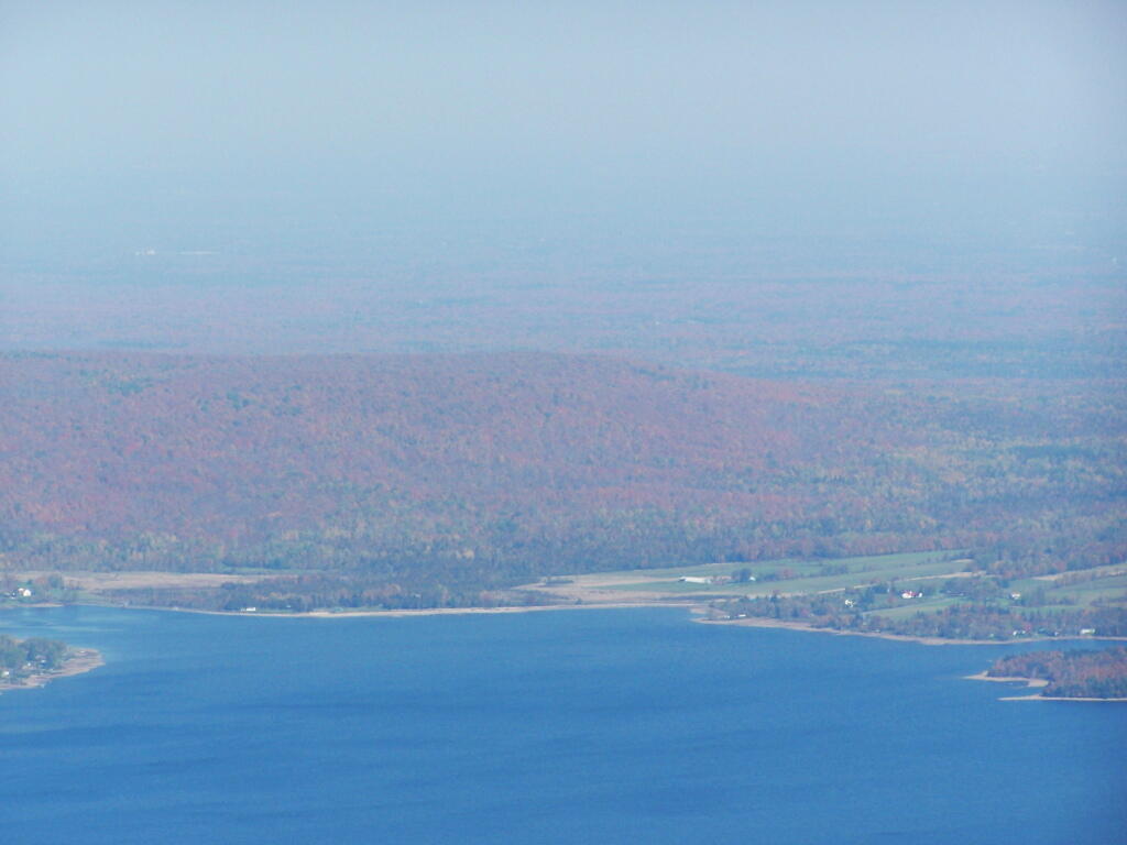
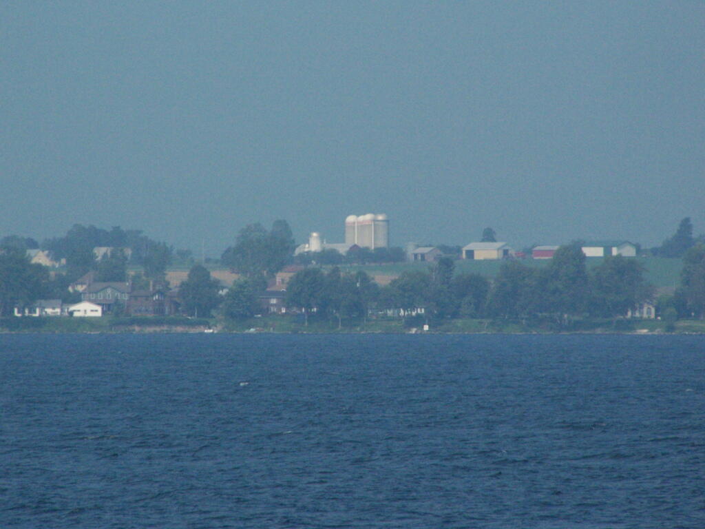
Chazy Lake and Farms Along It

Hazy day, but there’s Lake Chazy and the farms along it.

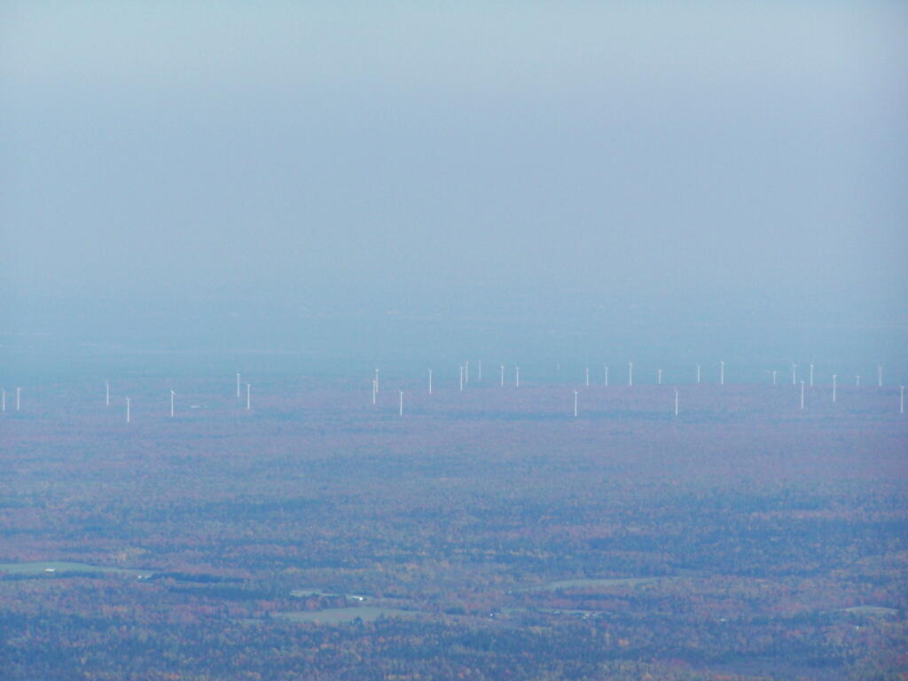
Altona Wind Farm

Wind turbines of the Chazy Highlands…

People Out on Lyon Mountain

Lyon Mountain is a popular hike, as seen by all the hikers on the ledge.


Point Au Roche State Park

Back in my college days I used to either ride my bike or drive up in the pickup to Point Au Roche State Park, which is located about 8 miles from Plattsburgh. It has fantastic views of Lake Champlain, and on less humid days, some great views of the Adirondack Mountains.

Rand Hill is Still Gone

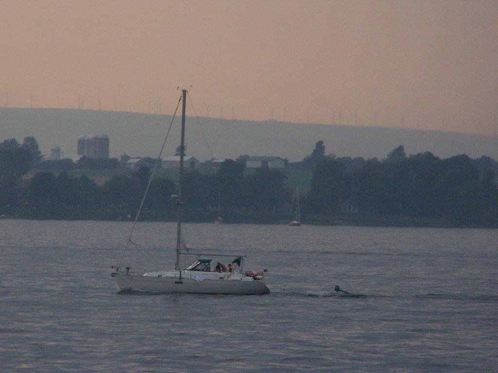
I went for a walk out along Long Point on Sunday Night and Monday morning. It was amazing to come back to the place which I so much remember from when I was back in college. The only difference I noticed was the wind turbines you could see on Rand Hill, just barely through the evening haze.

Sailboat

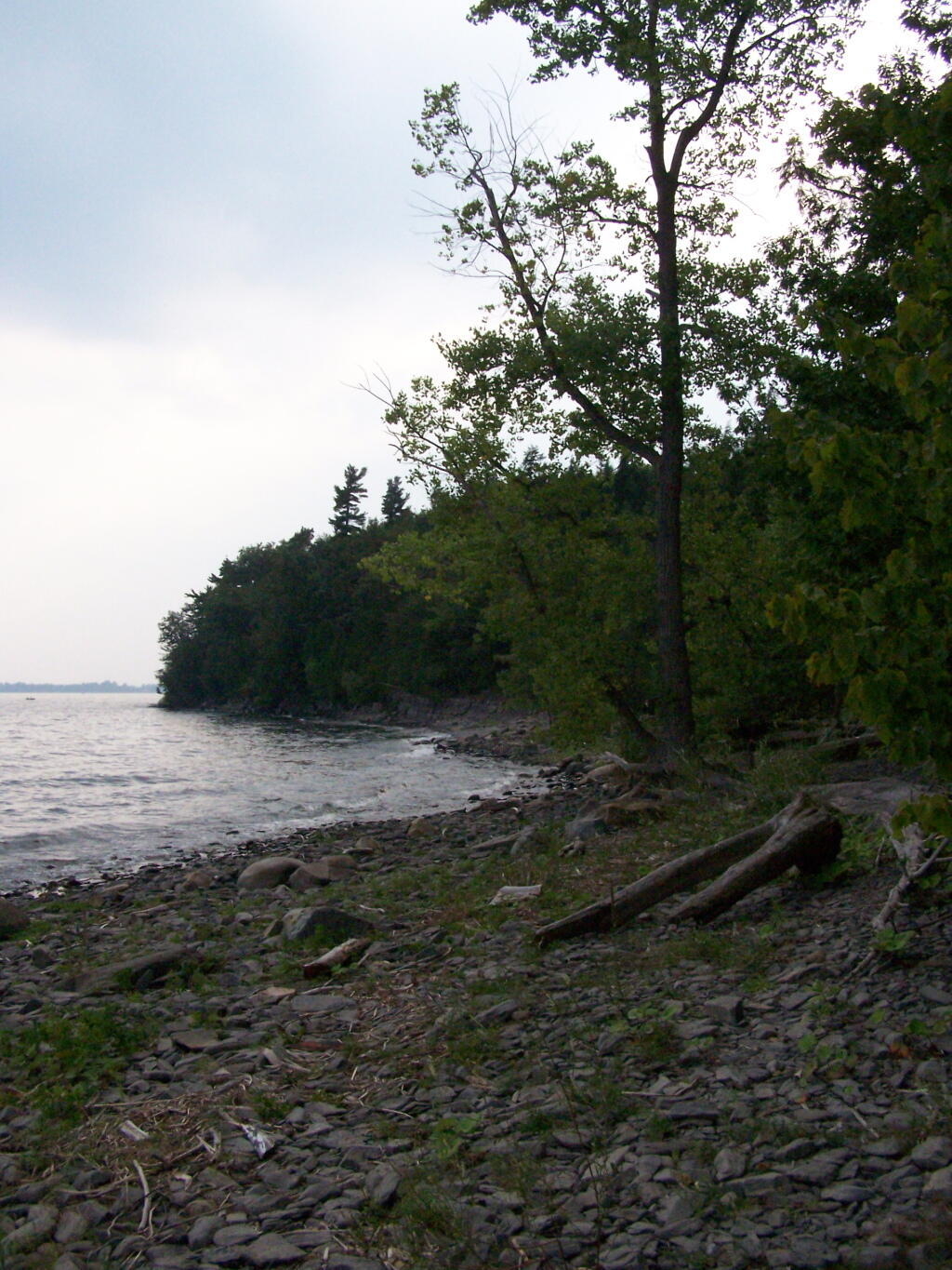
When I went for the walk this night, it was very hazy and hot. It wasn’t raining, but from the amount of fog and humidity you might not have guess it.

Along the Lake

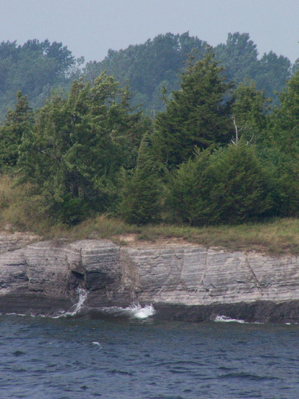
The next morning was almost as hazy and hot and humid, but with some nicer views.

Waves Break

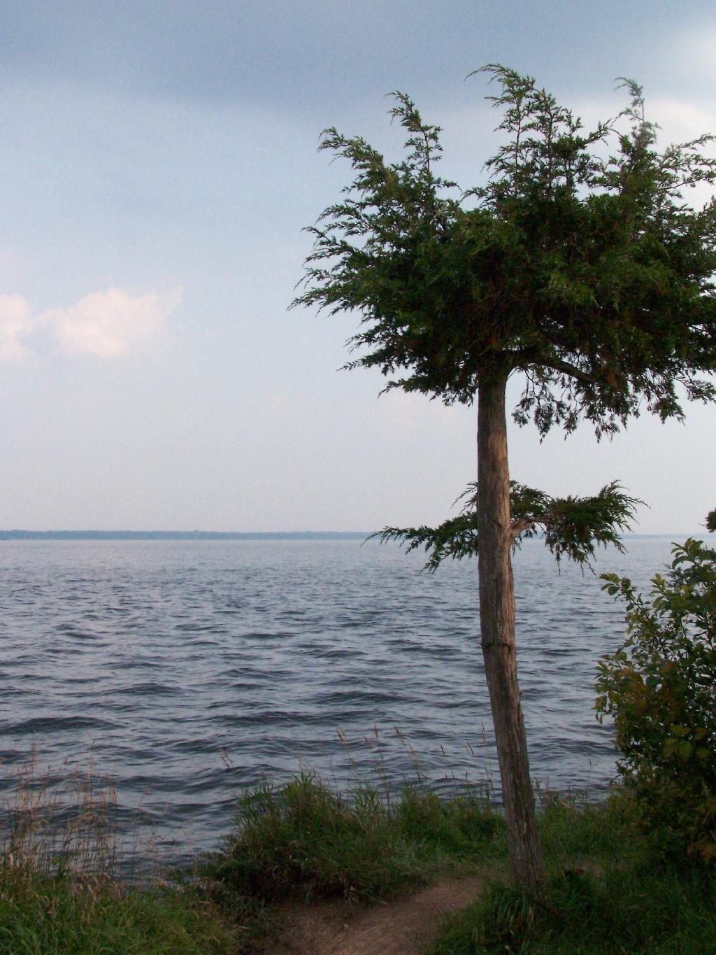
At the end of Long Point.

Tree on Bay

Map of hikes (red = Sunday, yellow = Monday).


View Hikes of 2009 in a larger map