Southern Adirondacks
Why I’ve Fallen in Love With Piseco-Powley Road
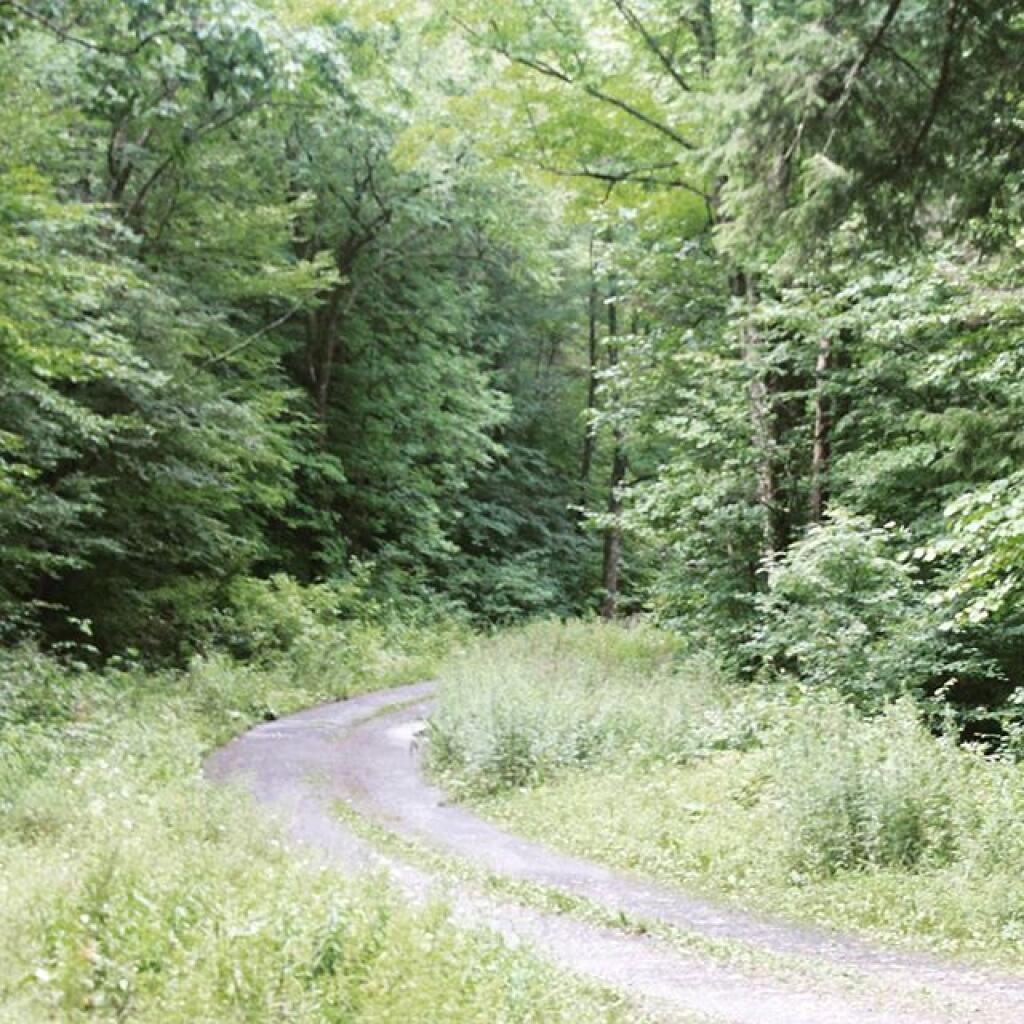
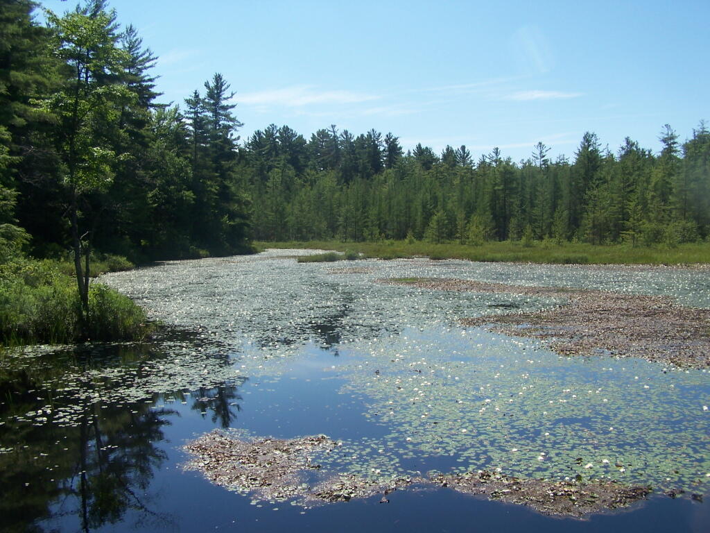
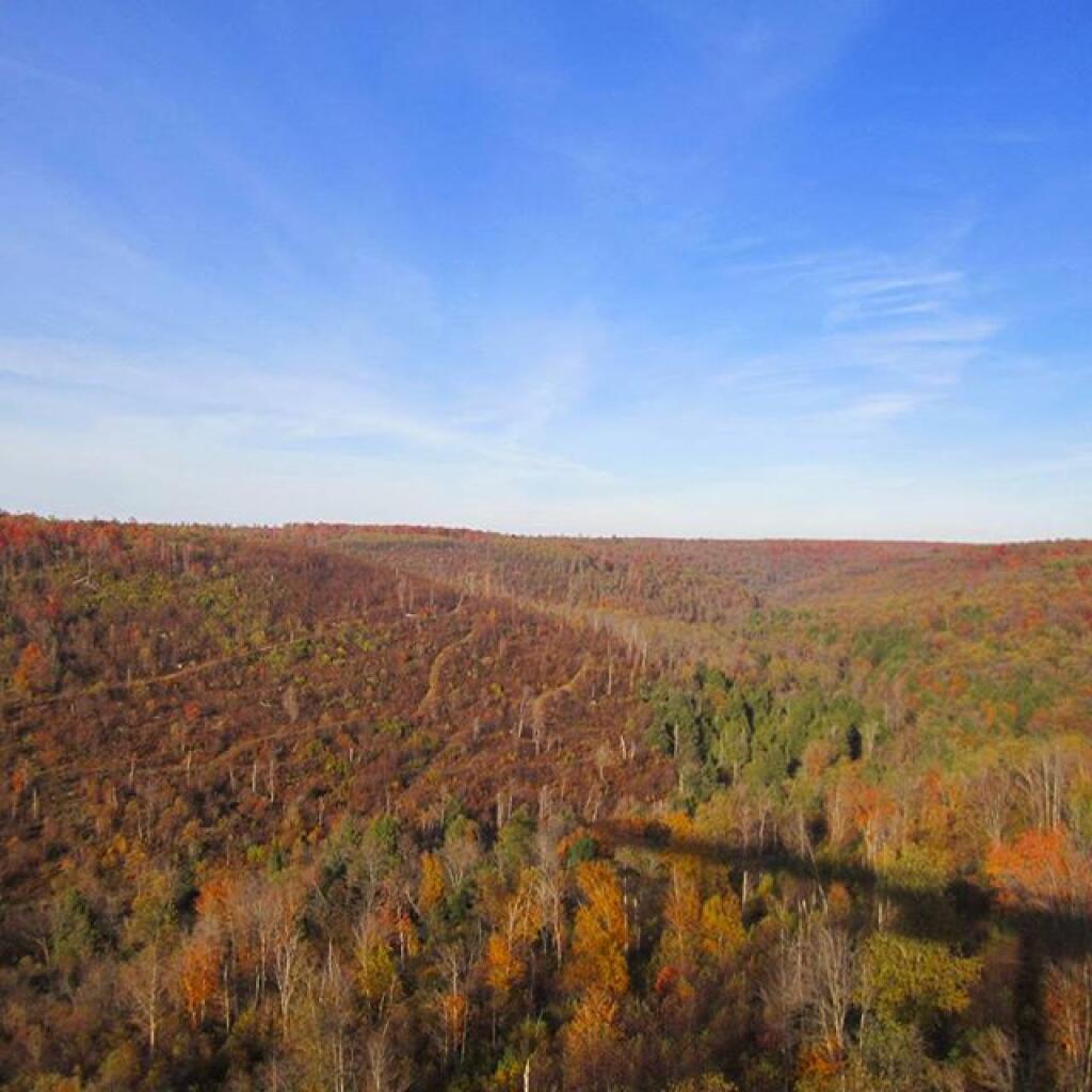
This past summer I have spent 3 weeks at Powley-Piseco Road up at Powley Place, about 10 miles north of Stratford. Despite visiting and camping in many other parts of the Adirondacks, this area has a special part in my heart.
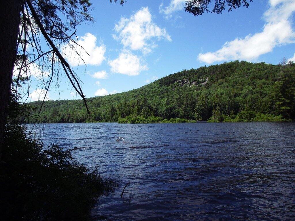
I really like Powley Place. I like the sandy “plains” and the marshy areas. I like being able to see those handsome cedars lining the East Canada Creek, and wander out at night at look at the stars. I love feeling of sand on my feet, and cooling off in the East Canada creek.
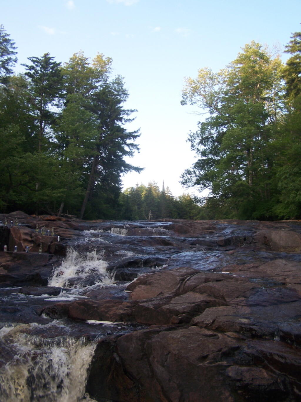
The Potholers always have the perfect amount of ice cold water in even on the hottest day. You get covered by the spray of water that is never too low in the summer. It’s always so delightful.
All of it is relatively close together. Unlike the Moose River Plains, you don’t spend all day driving from destination to destination. And its much closer.
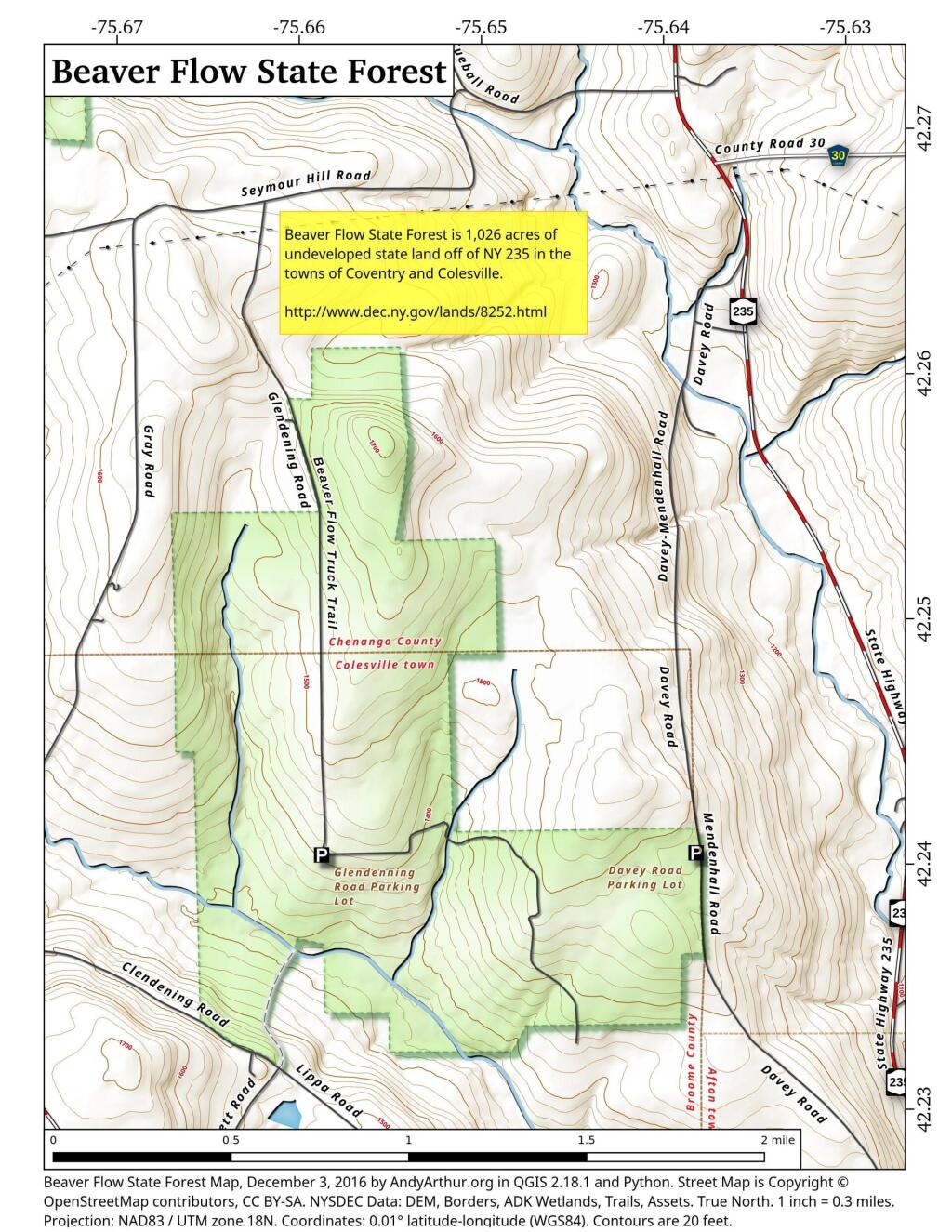
Campsites, Lean-tos in Central Adirondacks
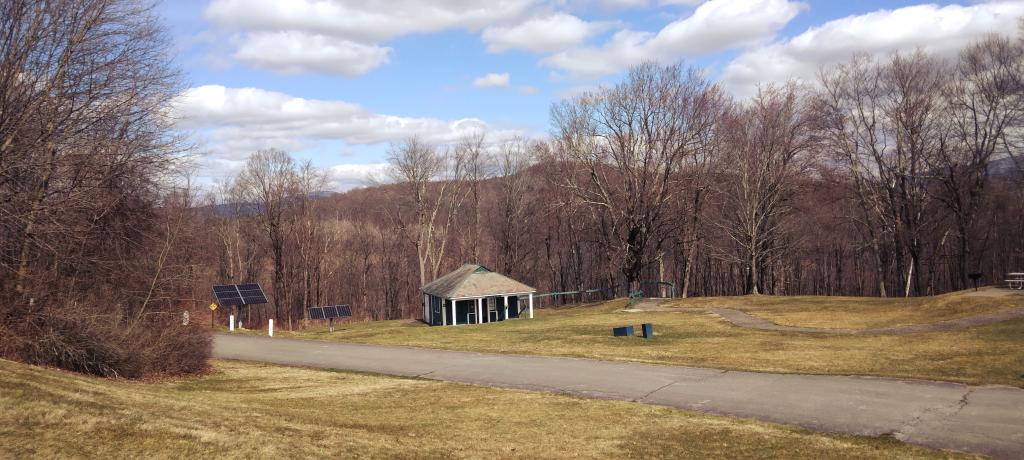
Where to Camp in Black River Wild Forest
I have spent a lot of this past summer exploring the Black River Wild Forest, and decided it would be a good to share my experiences and some of the roadside and other campsites I’ve discovered along the way. As of September 2011, Lands and Forests in Albany doesn’t have these campsites in the central inventory, so all of this campsite data is based on personal exploration of these campsites.
North Lake.
Some of the best camping in the Black River Wild Forest is North Lake in Atwell. There are 22 campsites — many of them vehicle accessible along this man made lake. The southern end of the lake has some private houses and cabins on it, but it still is relatively pristine and beautiful. Most sites have outhouses and fire pits. Some but not all sites have limited wood supply. All sites designated.
Motors are allowed on this lake — as are on all wild forest lakes — so don’t be surprised to hear a jet ski or small boat on there. There are no public boat ramp on lake, so only hand launched boats can get on the lake.
Click to download or print this map.
South Lake.
South Lake is another Erie Canal Corp / Black River Reservoir near North Lake. There is a single large campsite on South Lake, with a private in-holding on the other side of the lake. There may be other campsites here, as I didn’t explore this whole lake. There is an outhouse here, grassy field for camping, fire pit.
Click to download or print this map.
Reeds Pond.
There are a couple of campsites along Reeds Pond, North Lake Road, and Farr Road as you head up to North Lake from Forestport. This pristine, but relatively small pond is fairly popular for camping.
Click to download or print this map.
Wolf Lake Road.
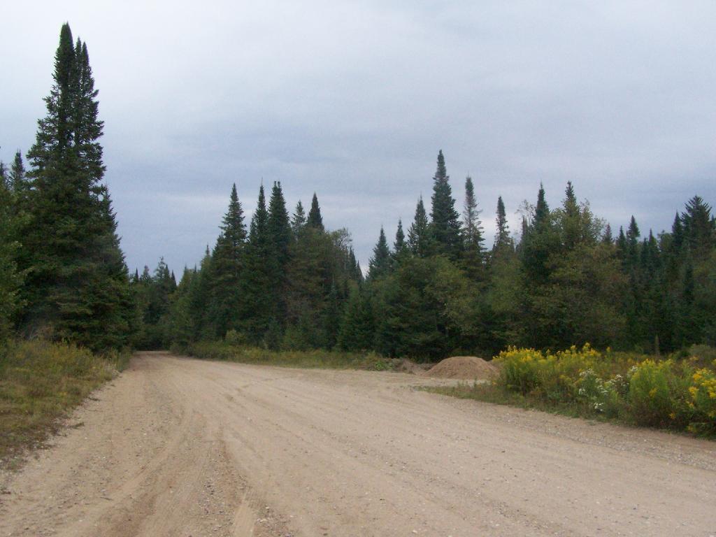
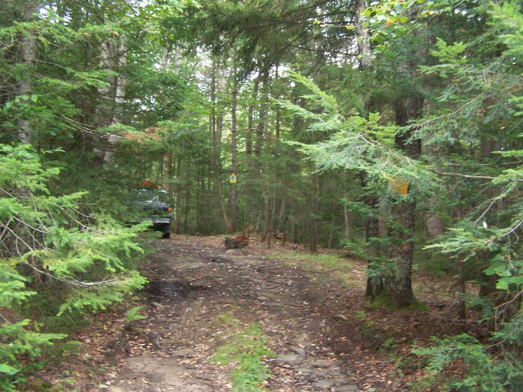
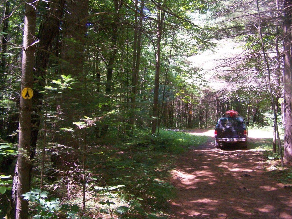
There are 5 fairly remote roadside campsites along Wolf Lake Road, as you head down to Woodhull Lake. Note also how there are lean-tos at Bear Lake and Woodhull Lake. The roadside campsites have no facilities, and some can be muddy as they are not hardened with gravel.
Wolf Lake Road has recently been rebuilt and resurfaced with gravel, however spring rains did lead to one part that may lead low-clearance cars to bottom out. Camp on this road, and your unlikely to see more then 2-3 people drive by on any particular day.
Be aware that the last 1/8th of a mile to Woodhull Lake is gated, so you’ll have to carry your boat the rest of the way down to the lake.
Click to download or print this map.

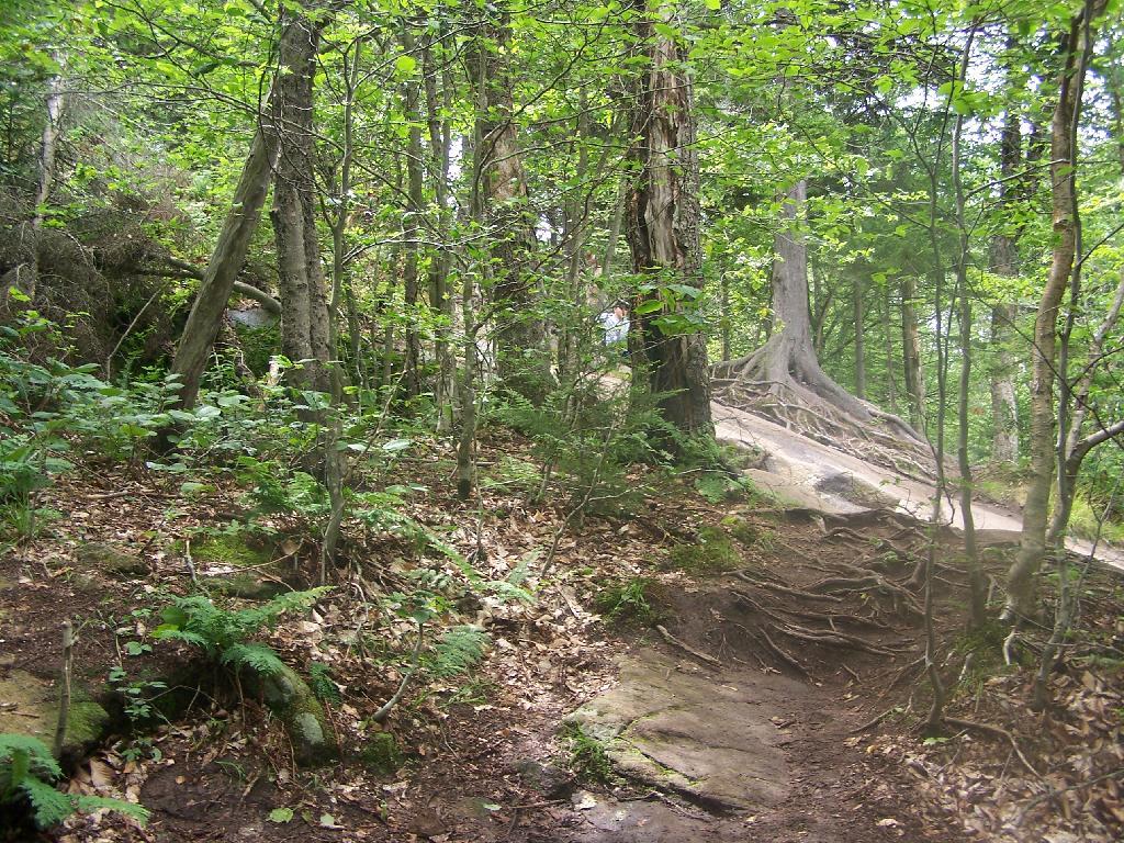
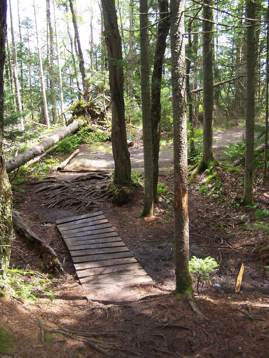
Remsen Falls.
Remsen Falls, which probably should be called “Remsen Rapids”, is a popular swimming place, and offers two well used campsites. There is an outhouse and picnic table down here. The trail follows a gated dirt road.
Click to download or print this map.
Camping on Hope Falls and Pumpkin Hollow Roads
There are several campsites a on side roads, little ways off of NY 30, as you head North from Northville towards Wells NY. These campsites are nice if you starting off into the Adirondacks, and are looking for a convenient place to camp for the night, and want campsites quieter then those on NY 8 / East Sacanadaga River.
These sites are all designated with official “Camp Here” discs.
| Road | Number of Sites |
|---|---|
| Hope Falls Road | 3 Vehicle 3 Tent Sites |
| Pumpkin Hollow Road | 2 Vehicle (Between Willis Lake and Inholding) 1 Vehicle (Beyond Inholding) |
Hope Falls Road.
From Northville on Hope Falls Road, you drive north and north. The paved road goes on for several miles, until you finally reach the “Seasonal Use Only” sign, and hte pavement ends it becomes a one lane road.

Click the map above to print it.
None of these campsites are particularly fancy, although there is a single outhouse for the first grouping of campsites on the southern port of the road.

All of the campsites run along Stoney Creek …
Pumpkin Hollow.
The campsites are a ways back on Pumpkin Hollow Road, a dirt road, beyond Willis Lake and the camps along it. Pumpkin hollow is a short ways south of the Sacanadaga River DEC Campground, it starts out as a paved road by a white house, then eventually a mile or two back becomes unpaved and one lane.
You can print the above map by clicking on it and printing it.
Here’s sample designated campsite on Pumpkin Hollow Road.
And Pumpkin Hollow Road…
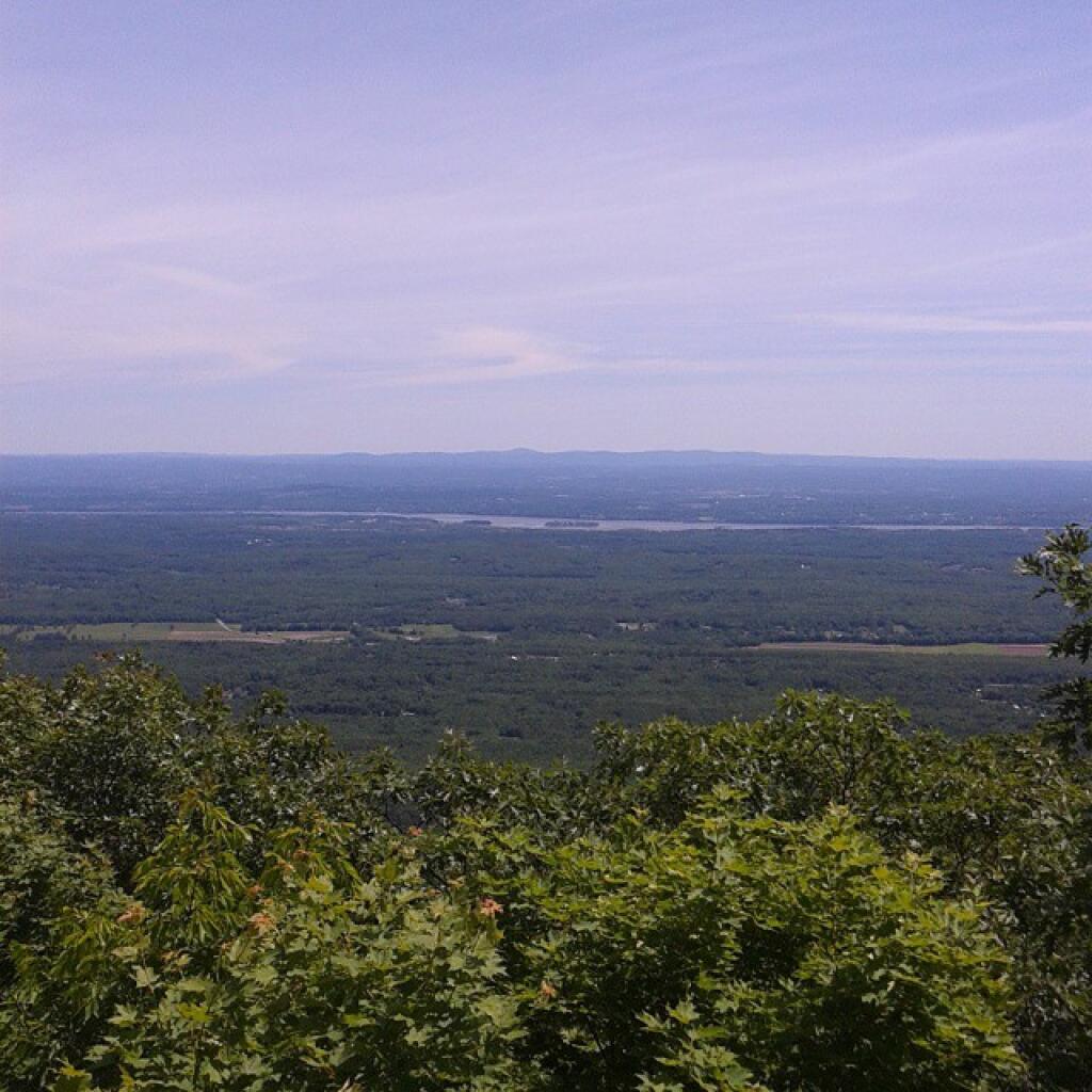
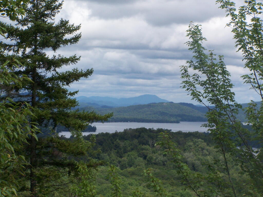
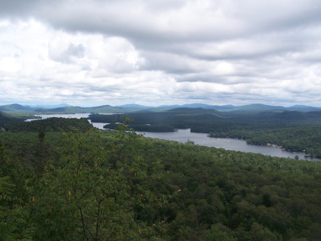
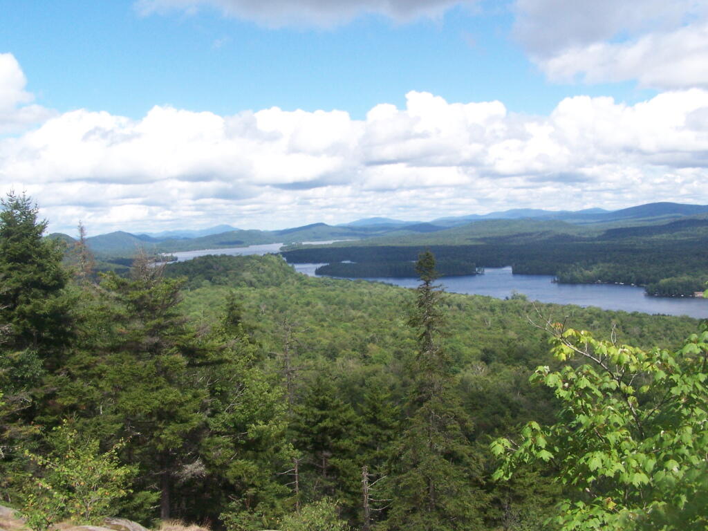
Rondaxe Firetower
Click below to download or print this map up.
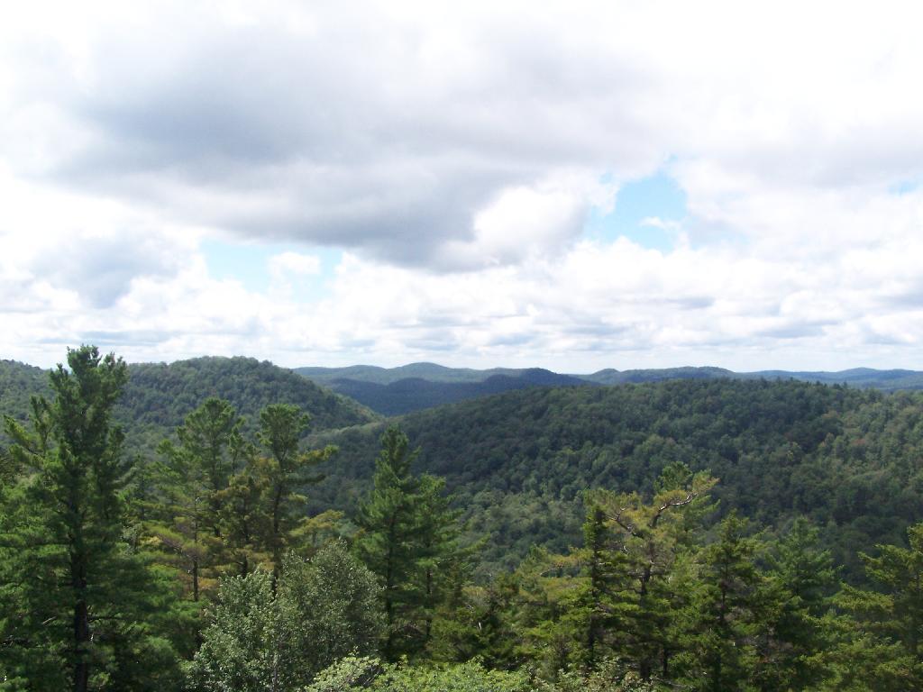
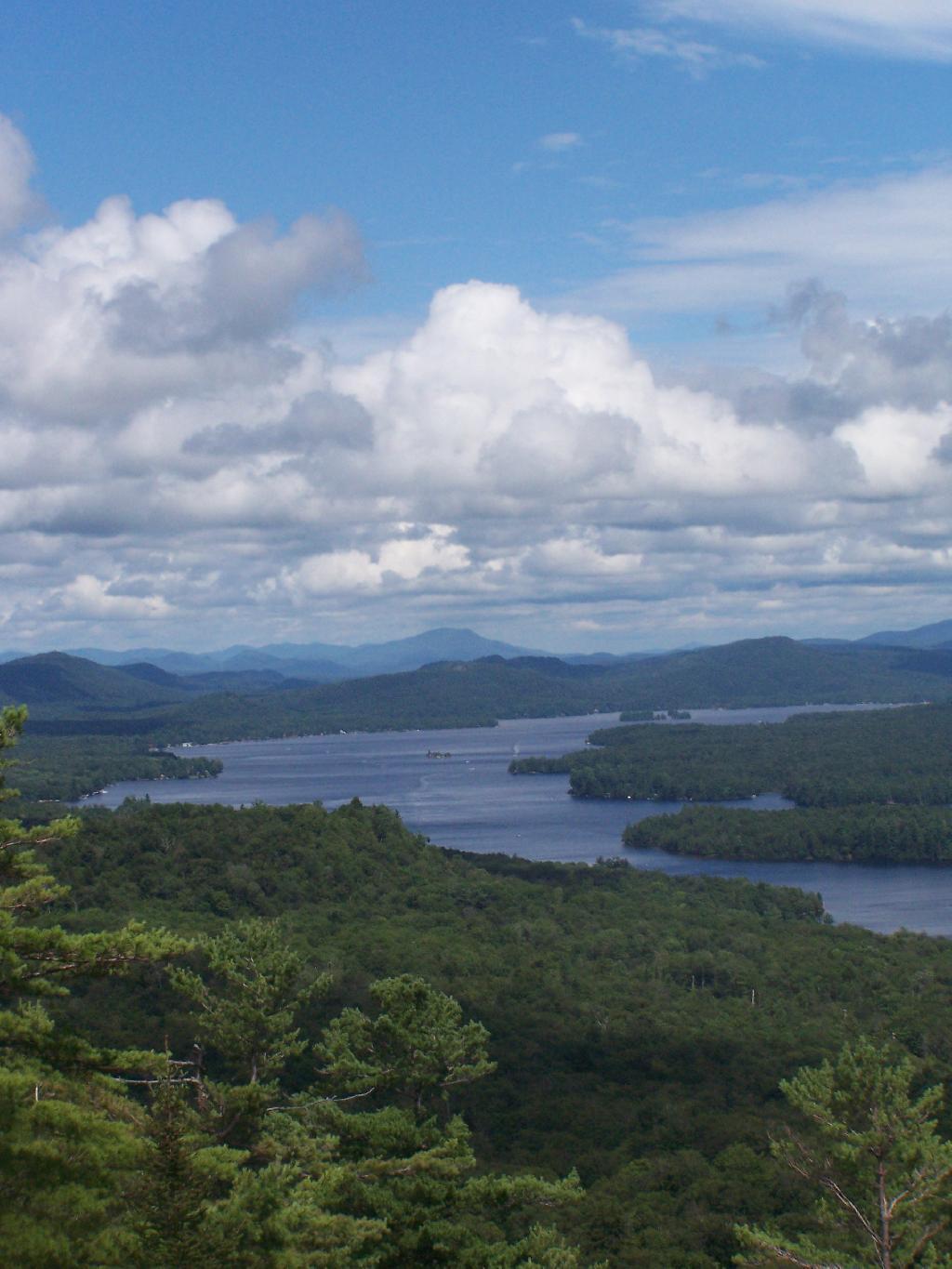
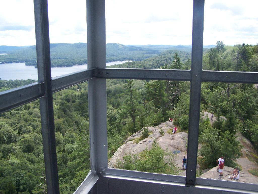
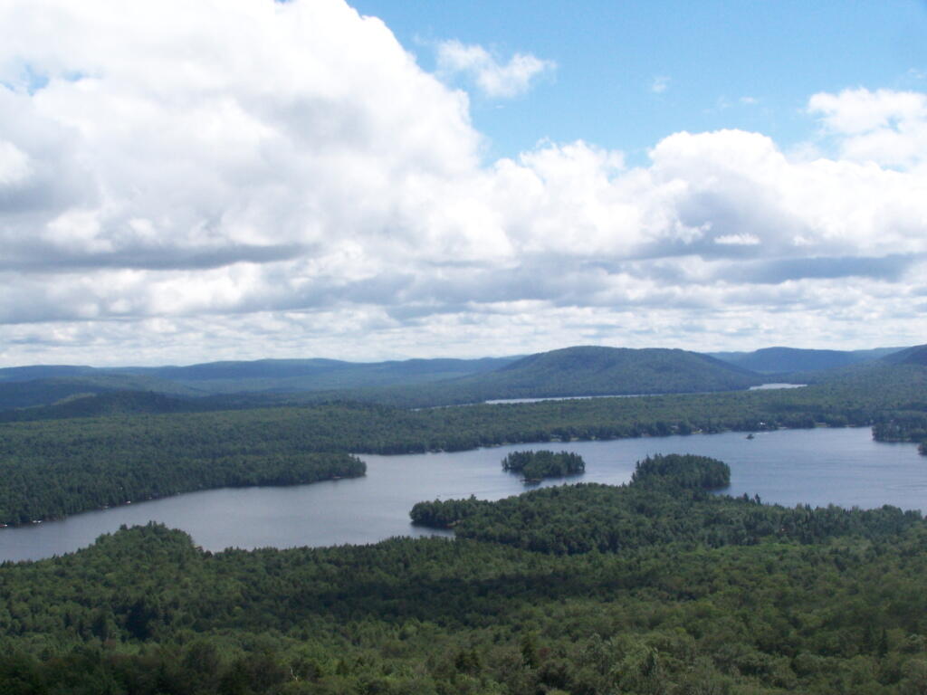
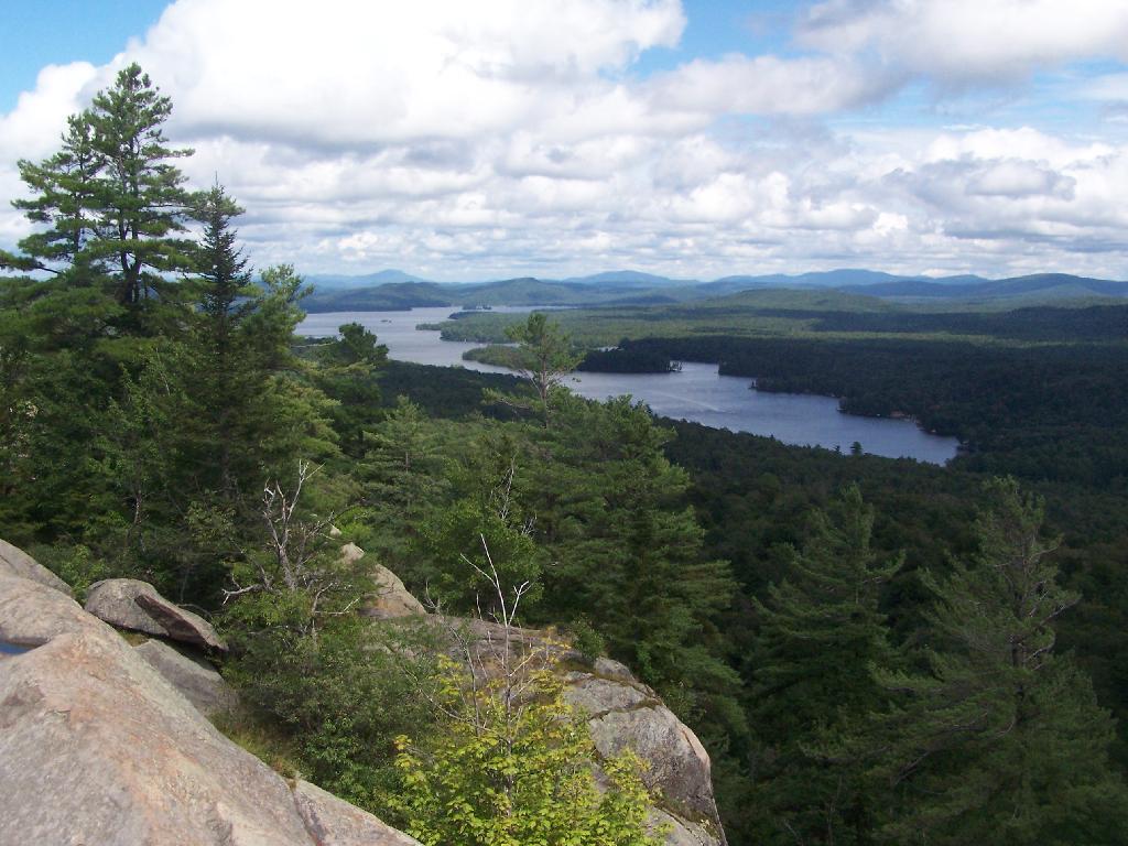
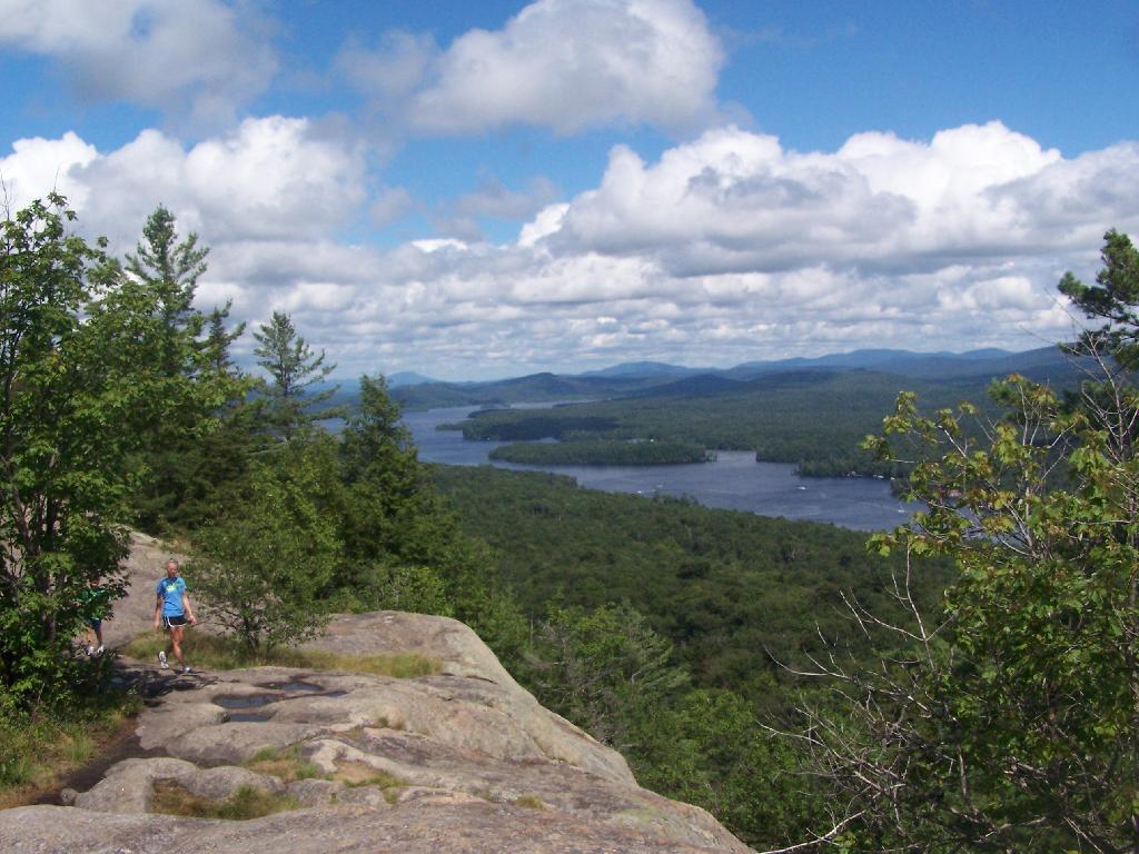
Rondaxe-Bald Mountain Firetower.
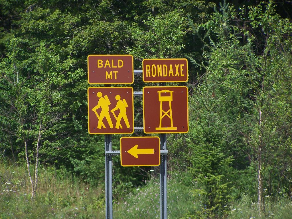
Most of the mountains and pull offs in the Adirondacks are very well signed, complete with brown and yellow DOT reflective signage.
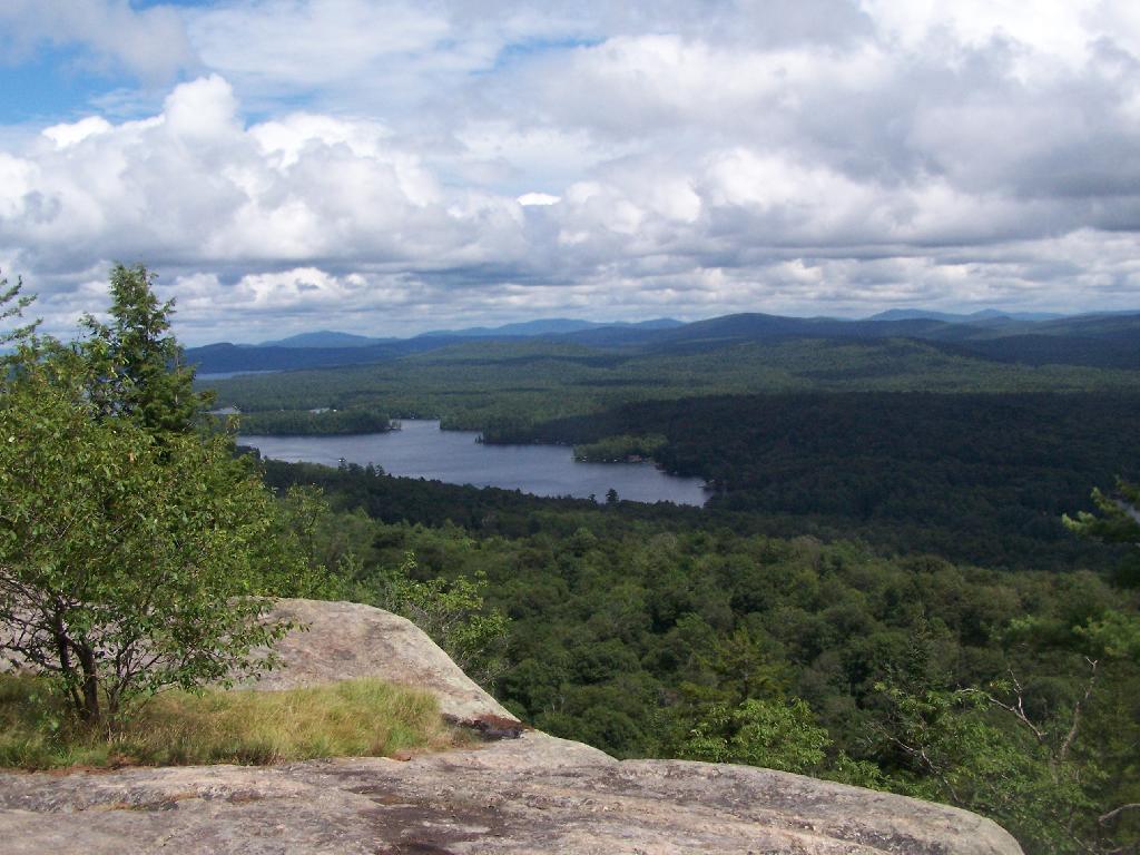
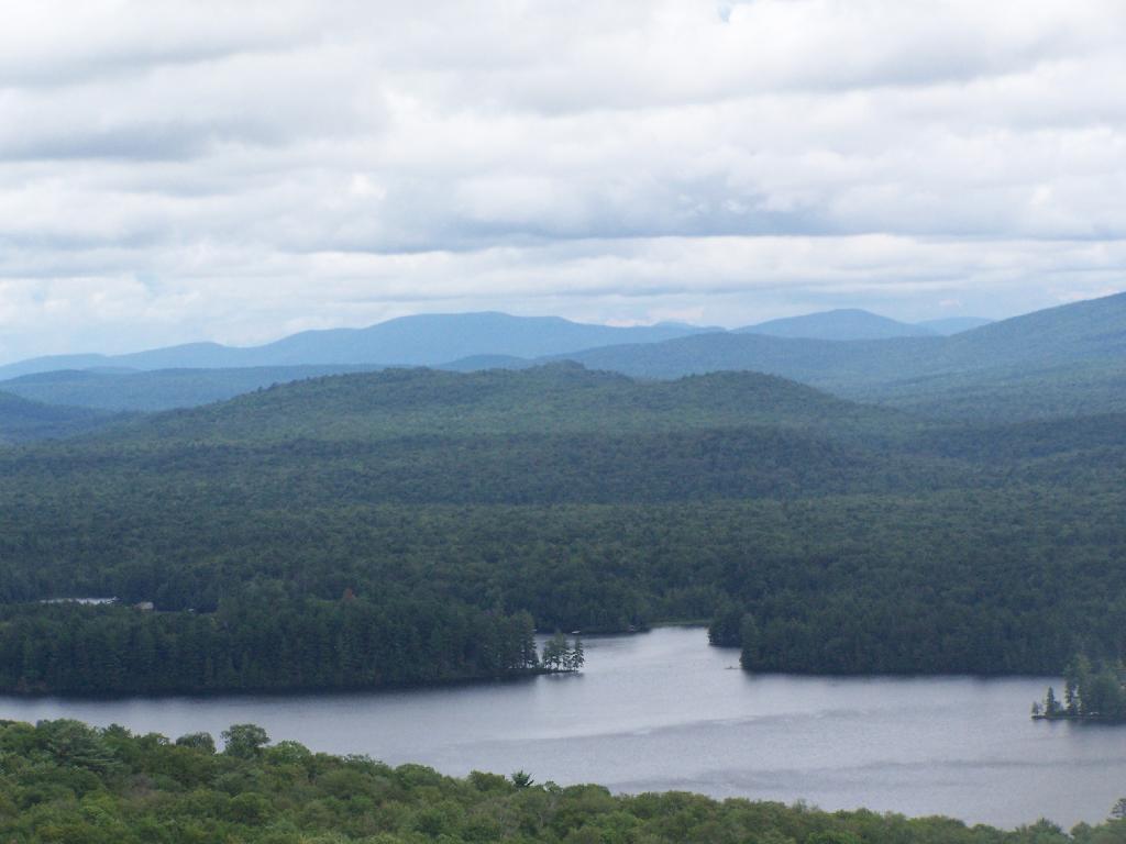
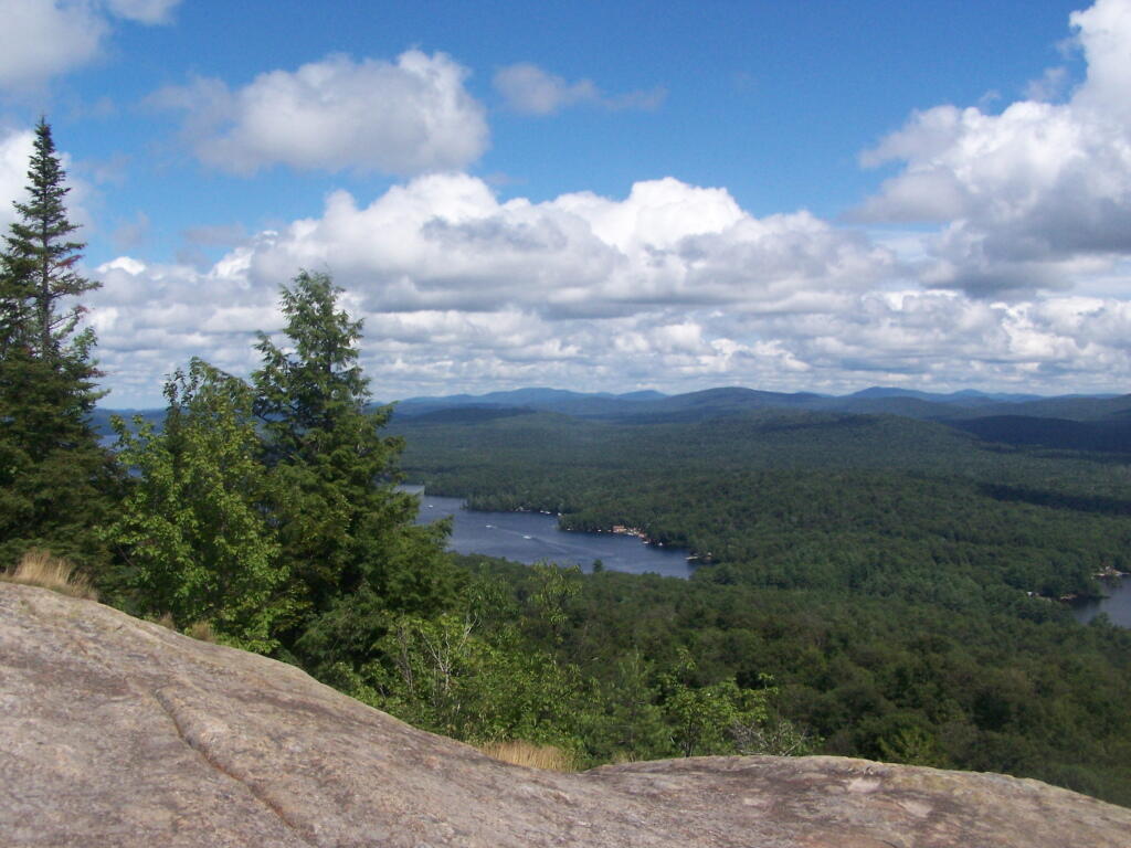
Fourth Lake.
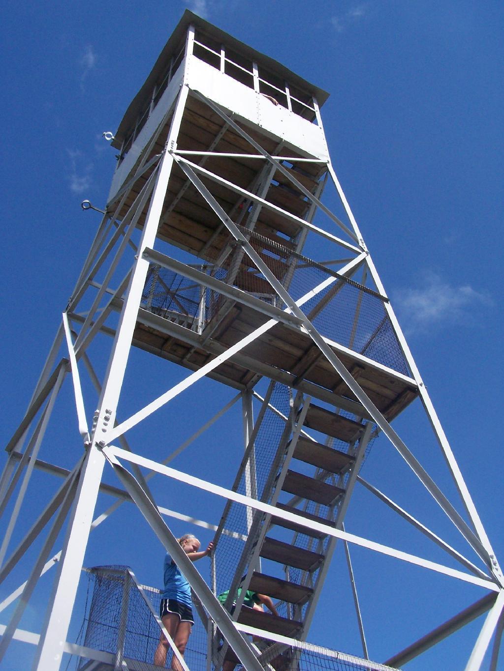
Rondaxe Tower.
Fourth Lake and Plains Behind.
Before It Cleared Out.
East from Rondaxe.
North.
Popular Tower.
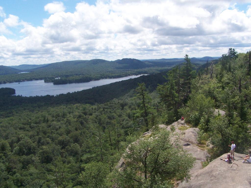
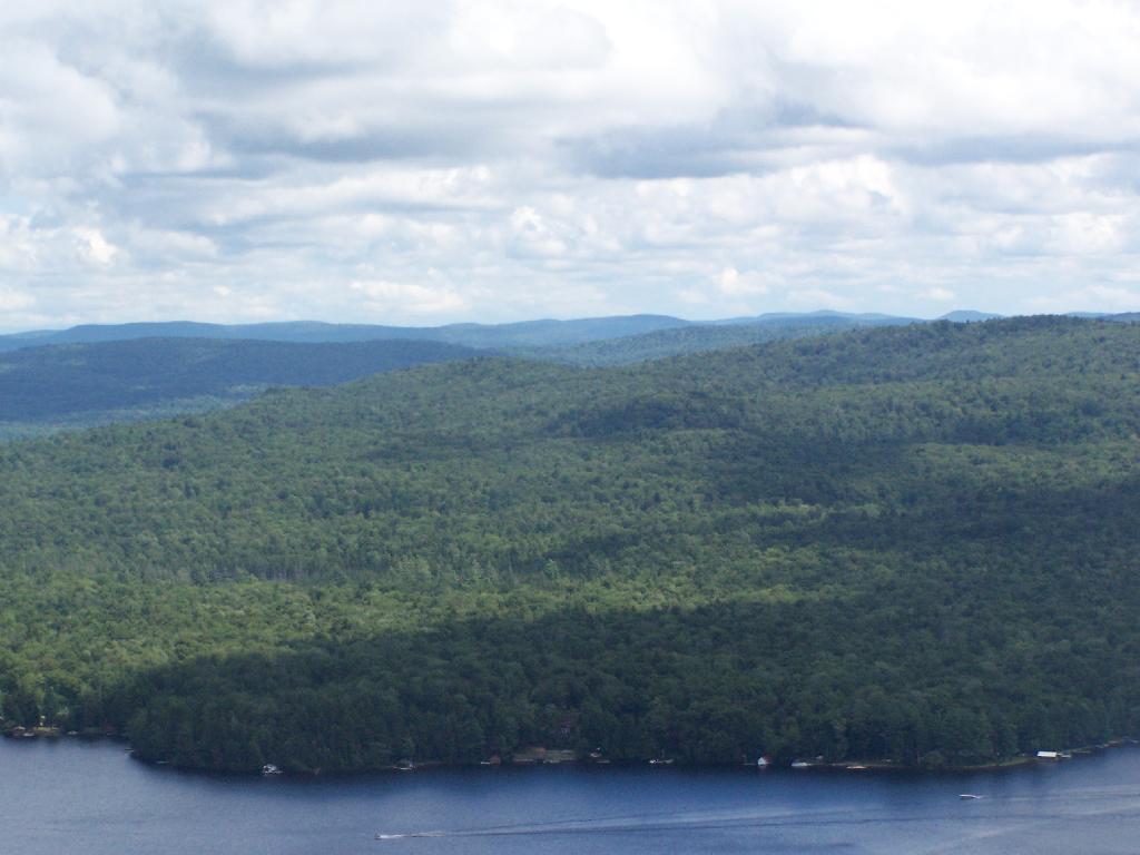
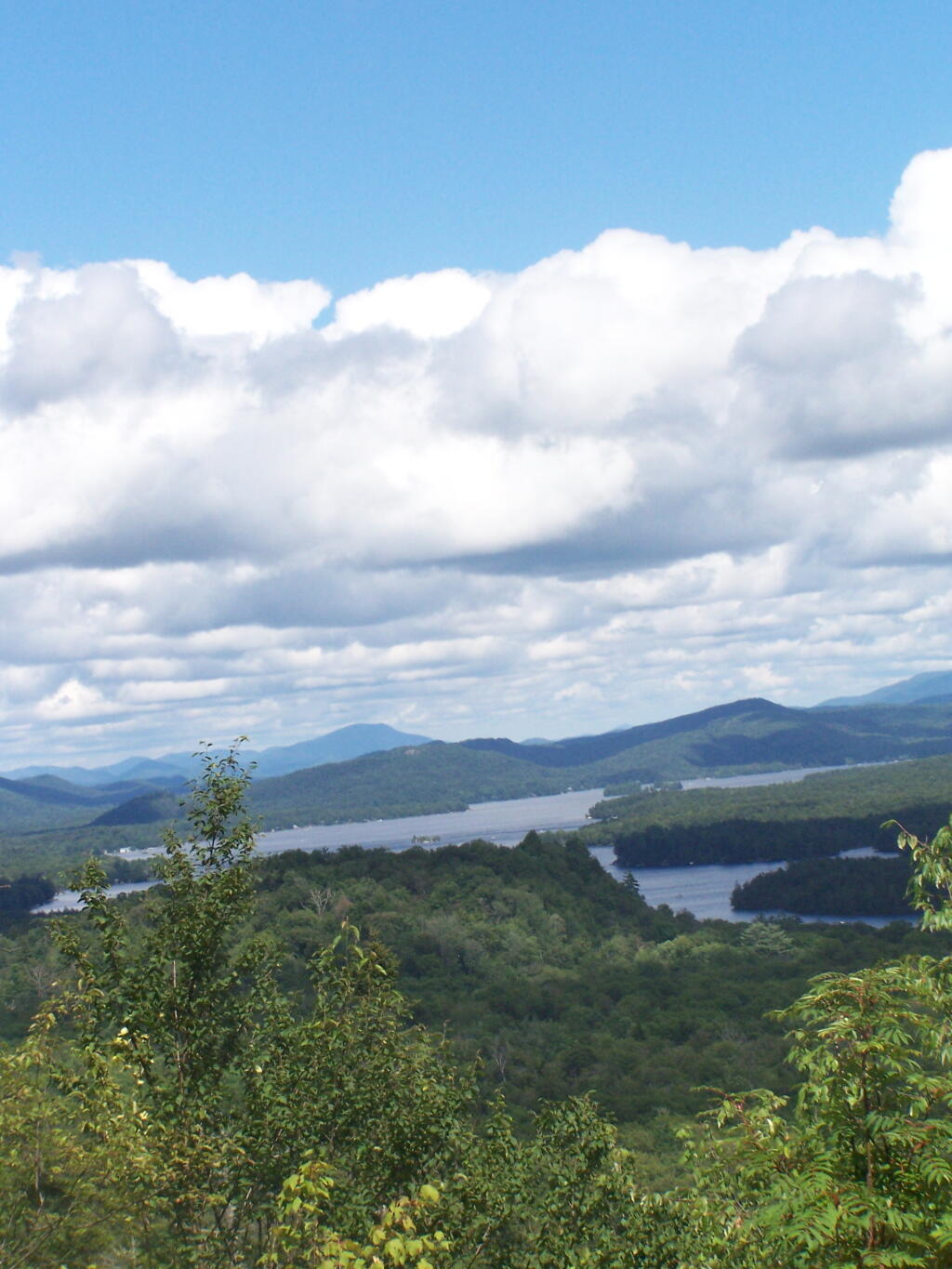
First Lake.
Hikers.
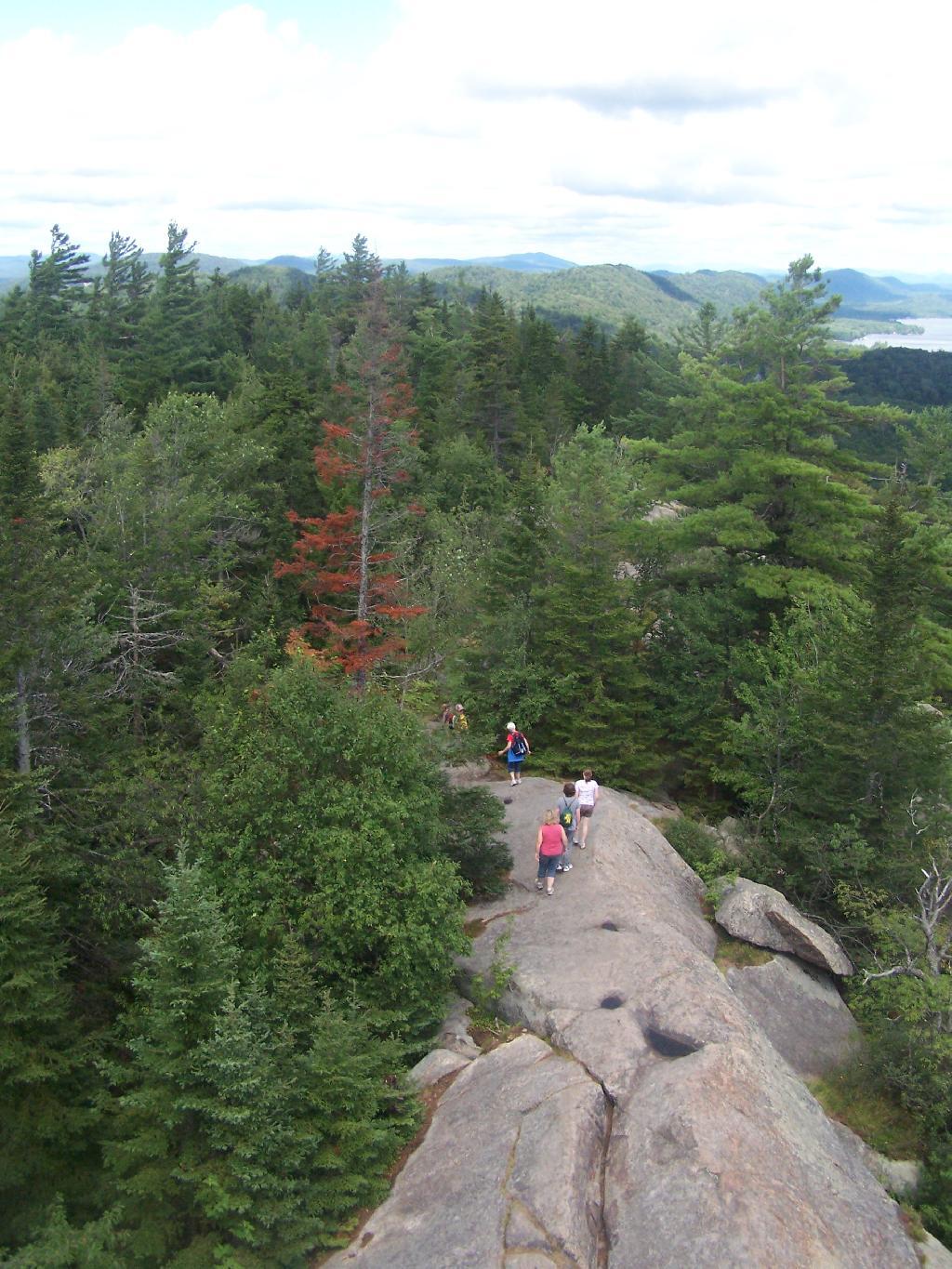
Bald Top of Mountain.
Corner.
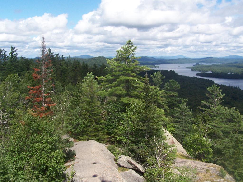
Looking at First Lake.
Fourth Lake.
Ridge.
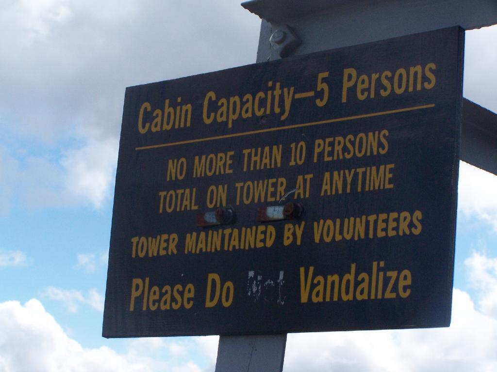
Please Do Vandalize.
Lakes Along Trail.
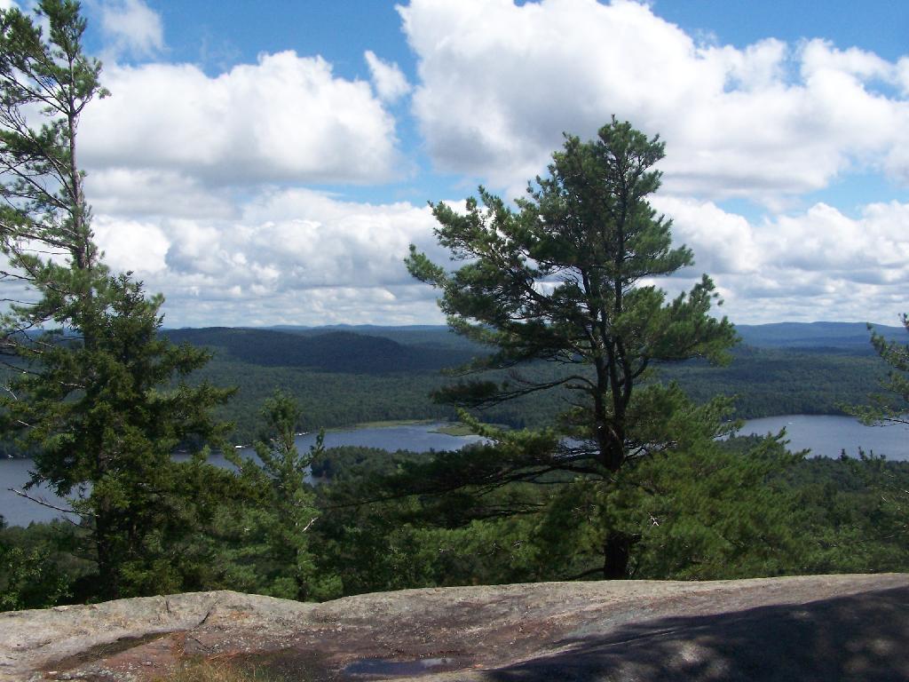
Hikers Enjoy the Purty Lake.
Bald Ledge.
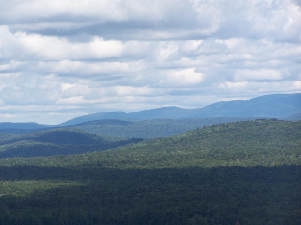
Clouds and Trees.
Untitled.
Hiking Up Bald Mountain.
Foot Bridge.
Towards Cascade Mountain.
Stormy Clouds.
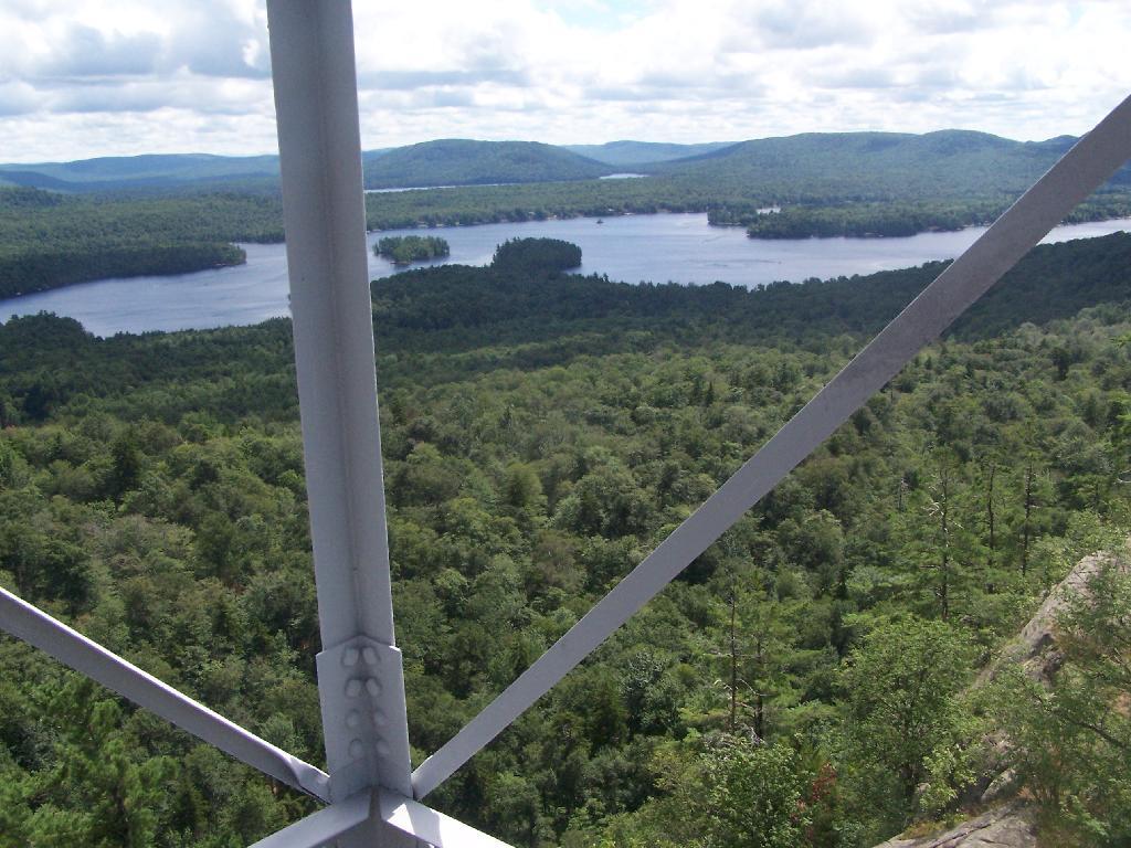
Renovated Tower Base.
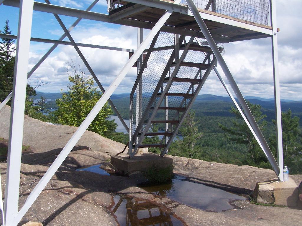
Tower Windows.
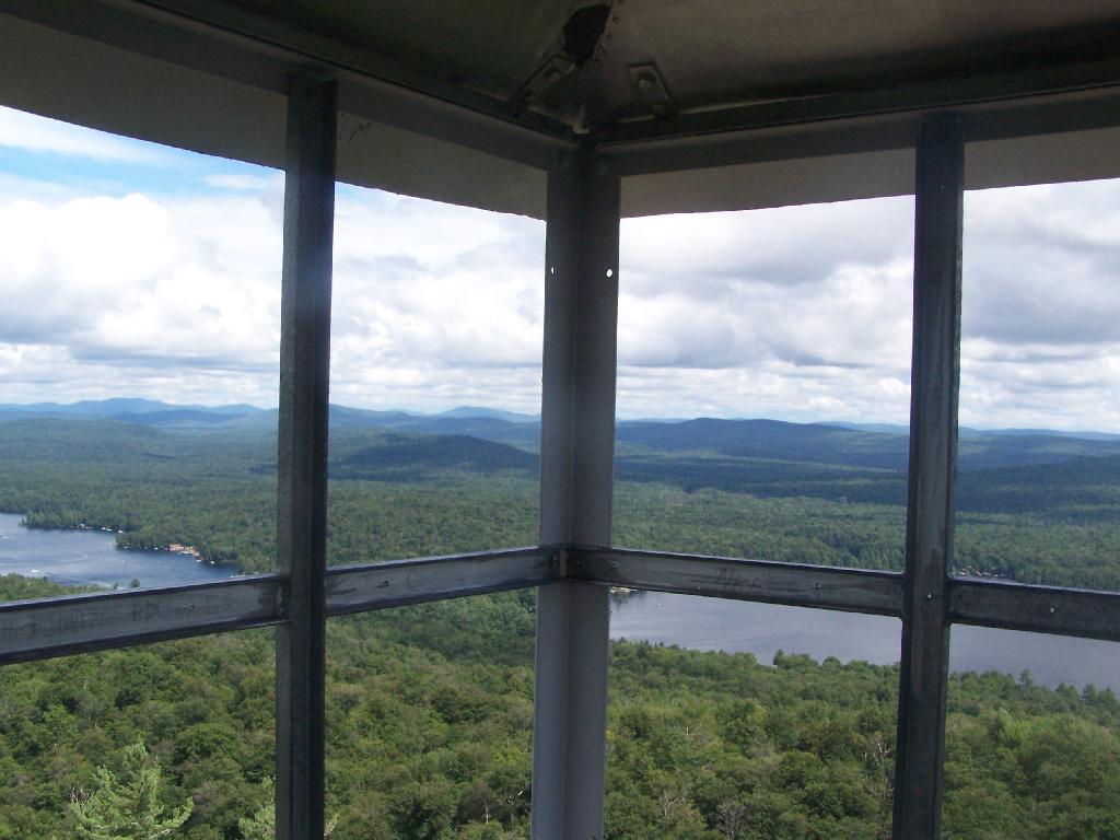
Fourth and Fifth Lakes.
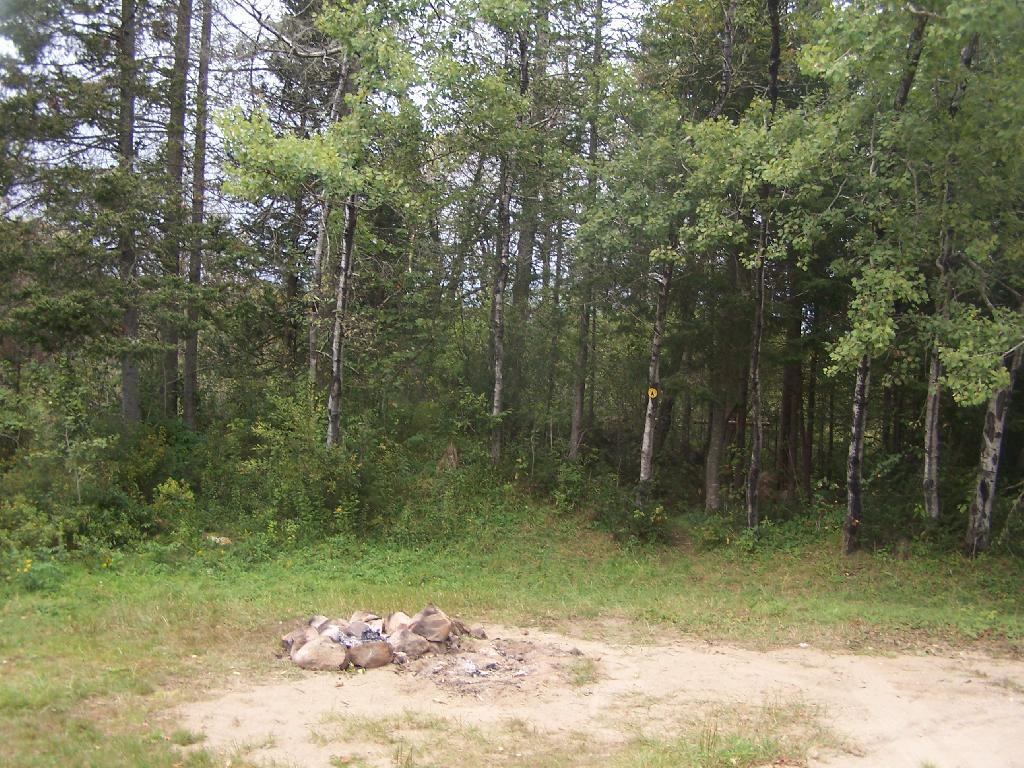
Ferris Lake Designated Roadside Campsites
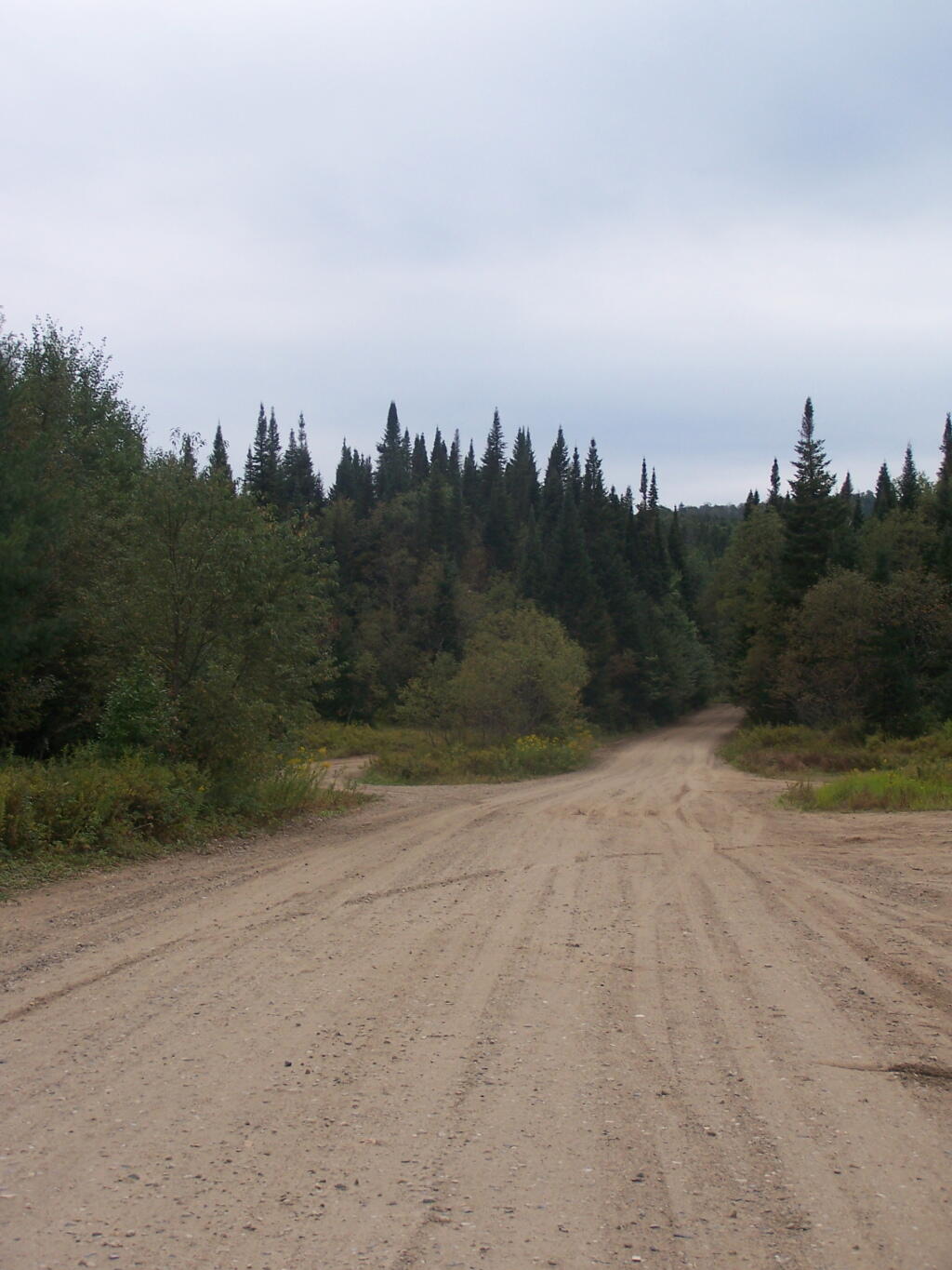
The most popular area in Ferris Lake Wild Forest is to camp along the 20-mile long Piseco-Powley, a spectacular seasonally-gated, state truck trail. Other roads in area provide more remote roadside camping opporunities and are listed below.
The Ferris Lake Wild Forest Unit Management Plan mentions the following about Roadside Camping in the area…
“The FLWF provides a variety of different camping opportunities. The interior portion of the unit contains numerous primitive tent sites that are located along the shores of the more popular lakes. These sites are designated with a yellow camping disk and often contain a fire ring. There are also a number of car accessible sites located along secondary access roads, such as the Powley-Piseco Road, G Lake Road, Mountain Home Road Extension and Edick Road. Most of these sites can accommodate small camper trailers. There are no lean-tos within the unit.”
— NYSDEC Ferris Lake Wild Forest UMP.
Roadside Campsites Designated in UMP.
| Road | Number of Campsites |
|---|---|
| Edick Road | 2 |
| G-Lake Road | 3 |
| Jerseyfield Road | 2 |
| Mountain Home Road Extension (Rough Truck Trail Past the Floe) | 6 |
| Powley-Piesco Road (Open Late Spring-December) Northern Hardwoods Section Near Mud Pond Central Section Near Marshlands of Powley Place Southern Section Near Potholers |
Total: 22 5 10 7 |
More Resources…
|
Location of Roads with Camping in Ferris Lake UMP.
Designated Campsites Along Edick Road.
This map is from the Ferris Lake Wild Forest UMP.
Designated Campsites Along G Lake Road.
Please note that the roadside campsites are noted by “GLR”. The “GL” sites are traditional primative tent sites, beyond the gated end of G Lake Road, that you have to backpack into. This map is from the Ferris Lake Wild Forest UMP.
Designated Campsites Along Piseco-Powley Road.
These maps are from the Ferris Lake Wild Forest UMP.
Designated Campsites Along Mountain Home.
This map is from the Ferris Lake Wild Forest UMP.