Search Results for: Photo
Photosynthesis is WAY Crazier than you Think! | #TeamTrees
I hope with advancements in camera and drone technology, that in some point it will be possible for governments to provide high-resolution day-by-day aerial photography of the land
I hope with advancements in camera and drone technology, that in some point it will be possible for governments to provide high-resolution day-by-day aerial photography of the land. This would really help with land management purposes and understanding changes to land use.
What do the different colors in a color-infrared aerial photograph represent?
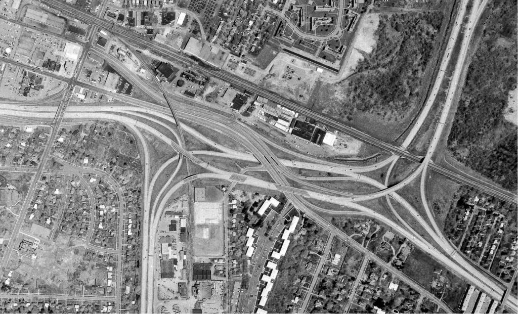
A little birdy came in the window and told me that NY State office of Information and Technology Services has posted aerial photography taken in the spring of 2020 this morning to their website
A little birdy came in the window and told me that NY State office of Information and Technology Services has posted aerial photography taken in the spring of 2020 this morning to their website. It includes the dairy farm country of the very fertile Genesee Valley (MOO with the smell of silage and manure !!!), and most of Nassau and Suffolk County down on the Island, yes, the big one to the east of New York City where the Long Island Expressway runs and people adorn their cars with bumpster stickers that read, “Please Pray for Me, I Drive the Long Island Expressway,” America’s Largest Parking Lot.
How the History Aerial Photo Comparison is Put Together
How the History Aerial Photo Comparison is Put Together
- Download imagery from USGS Earth Explorer (Free account needed to download; most interesting is to Single Aerial Photos) and USGS Historical Topographic Maps
- Use the QGIS Georeferencer to add control points and re-project the map.
- Export two matching area/scale images from QGIS showing the before and after
- Use the jQuery TwentyTwenty Plugin to provide the slider for your browser
New Blog Category on Orthophotography
If you enjoy looking at Aerial Photographs and so-called satellite maps on Google Maps, take a look at my new blog category called Orthophotography, featuring various areas that I found interesting while looking at this mapping data.