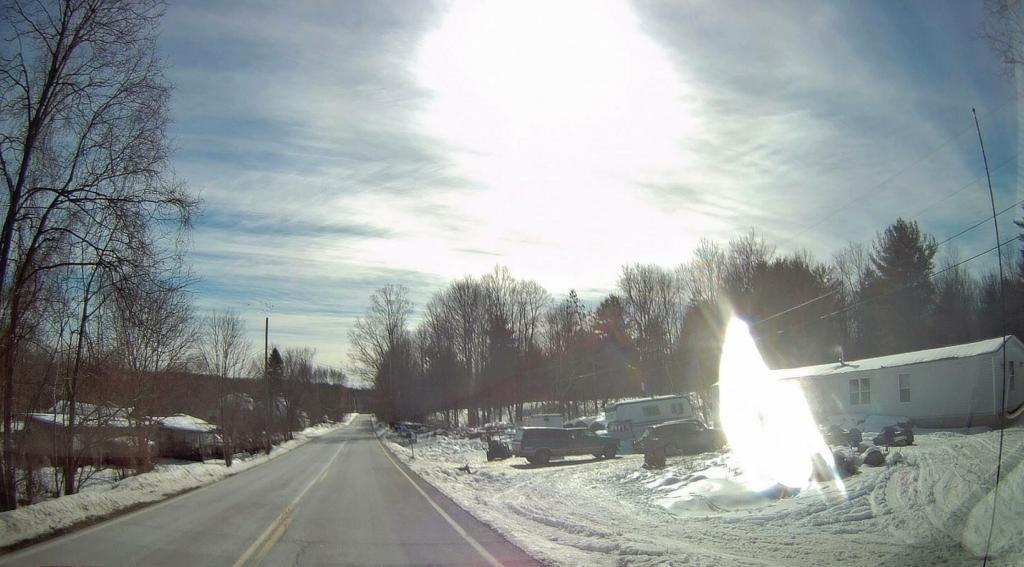
Neighborhood I Grew Up
I am more then a little jealous of all those who are fortunate to live the redneck life.
Taken on Tuesday March 9, 2021 at Where I Grew Up.
I am more then a little jealous of all those who are fortunate to live the redneck life.
Taken on Tuesday March 9, 2021 at Where I Grew Up.Last night I was pondering how much I had invested in NY State, not in form of capital as much as knowledge and connections. You know, over 29 years of living in this state, I’ve learned much, and moving away from it, would seem I would loose a lot.
Things like (in no particular order):
Maybe this is why a lot of people never leave the community they grew up in, and even fewer ever leave the state they were born in. It just seems like moving on is such a daunting task, especially when you’ve come so familiar with the status quo.
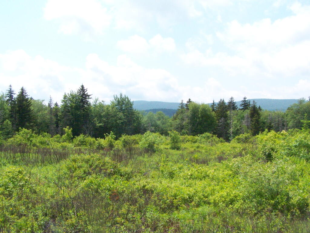
I’ve lived in other parts of Upstate New York, from time to time, but somehow any part of New York State your in is kind of structured the same way. Other states, not so much. But maybe I’m over playing the differences.
Then again, the world is always changing. The place I knew a few years back rarely stays the same due to forces of man and nature alike. Time changes everything.
Where are people clustered around closely in the hilltowns? The obvious answer would be the hamlets of Dormansville Westerlo, South Westerlo, East Berne, Berne, West Berne, Rensselearville, Medusa. Those are historical hamlets that where the centers of these rural towns prior to the automobile and quick roads providing access to the City of Albany.
Today it seems like those hamlets continue to be the most dense region of county, in part because existing housing was grandfathered in prior to large lot zoning ordiences becoming the norm decades later. Yet, an even more important factor in connectivity proves to be quality highway access to to City of Albany, for the many families who leave their homestead or farm to work in the city.
I made this map from 2010 Census Block-level data, divided by area of land within each census block. This is as detailed of census data that is avalialbe for this rural area, despite many of census blocks being quite large out in this rural area.
Here is a full-size version of this image, for more detailed views.
Westerlo is the most densely populated town in the three south-western hilltowns. It is most dense due to access to NY State Route 32, which provides relatively quick access year round to the city, with commutes around 30-40 minutes each way. The further you get from NY 32, the quicker population density drops down.
NY 443 and NY 85, the two other state roads, also have significant increases in population density along them. Both of those roads have more hamlets to drive through to and twistier roads get to the City of Albany, therefore lower population densities. Get out to Rensselearville, and except for Renselearville, serviced by NY 85, population density proves to be quite low, except for the small historical hamlet of Medusa and Potters Hollow, whose densities are high, but only in a small region for one census block. Rennselearville is on the artery of NY 85.
People generally live closer together near major highways. Farms, forest land, and public lands tend to be further away from major roads. Farmers and other forest owners who work their own land typically don’t need quick access to the city. They instead need is cheap land, which tends to be away from highways. Other distant land, was long ago abandoned to the state as state forest, in part because of it’s remoteness.